1 minute read
LIGHTHOUSE CHARTS


LightHouse Charts bring a new level of clarity to marine navigation. Created from official hydrographic chart sources, LightHouse Charts offer maximum readability, intuitive navigation, and superior quality. Four distinct color palettes provide the best possible viewing conditions around the clock and chart symbol controls give you the power to customize the charts to your personal preference. Subscribe to LightHouse Charts Premium to access continuous chart updates, an expanded points of interest (POI) library, and enhanced satellite imagery for a powerful, sophisticated take on marine navigation.

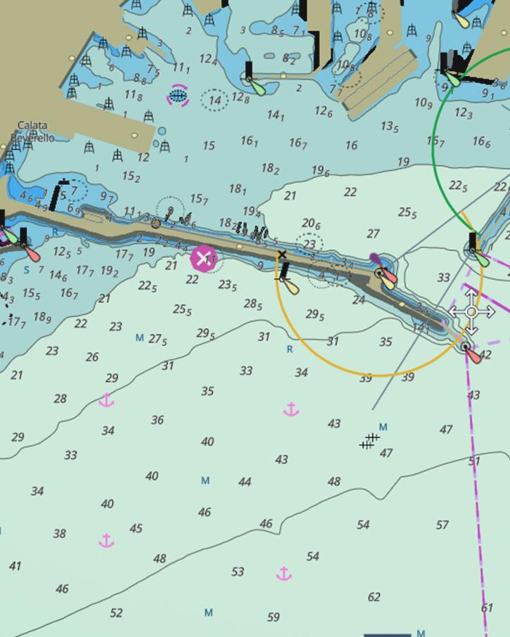
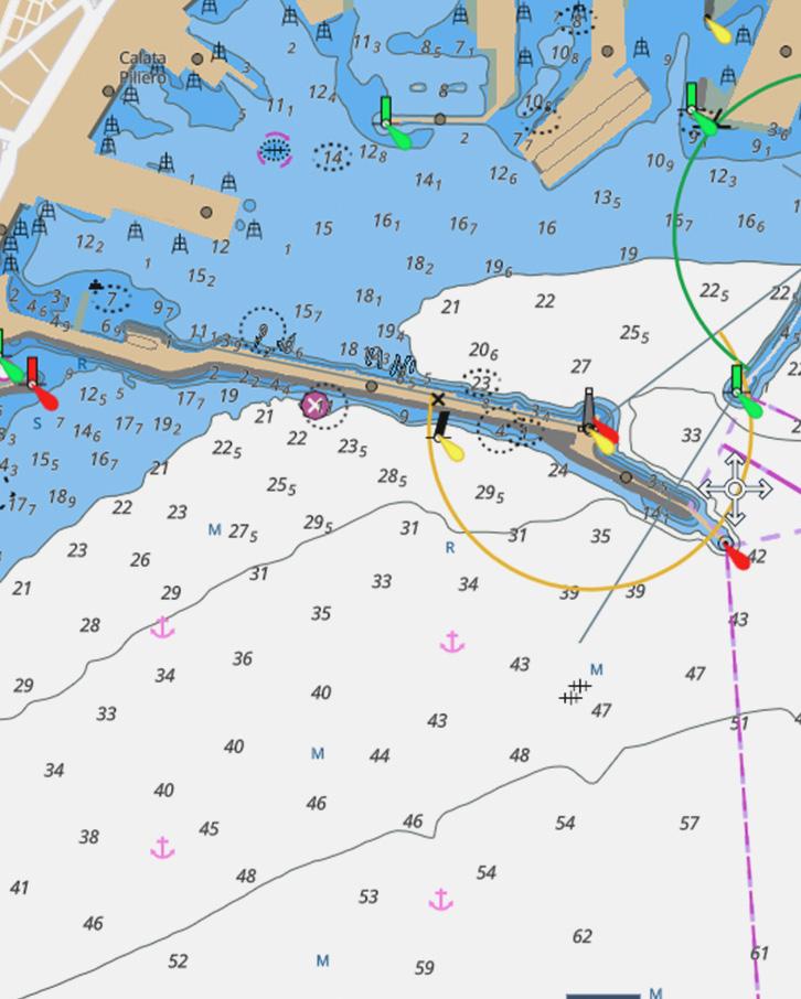
Professional Or Leisure Chart Style
Toggle between the information-rich professional S-52 government chart style (left) and the LightHouse leisure chart style (right) for your preferred view of key cartographic data.

Enhanced Chart Symbol Control
Change the size of channel markers, points of interest, and other icons for complete control over chart details.


