1 minute read
LIGHTHOUSE CHARTS


NAVIGATE WITH A REAL-WORLD VIEW
Access Mapbox-powered high-resolution satellite imagery for a complete view of streets, shorelines, and shallows for informed decision making.
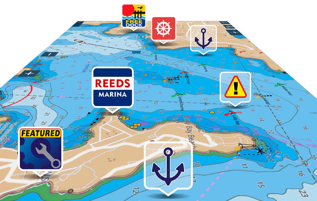
EXPANSIVE POINTS OF INTEREST LIBRARY
Quickly find local marinas, fuel stops, service stations, and more with an ever-expanding points of interest library from the best marine databases.

FLEXIBLE COLOR MODES
Day, Dusk, Dark, and Bright Sun color palettes help your vision keep up with changing light conditions for clear, strain-free chart viewing.
STAY UP TO DATE AND EXPLORE MORE
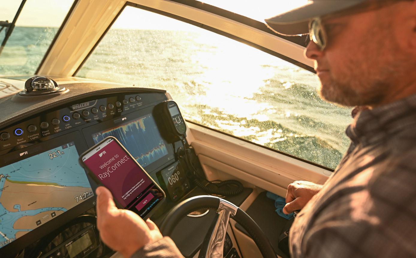
The Raymarine mobile app and a LightHouse Premium subscription allow you to update your charts and download premium content using your mobile phone.