23 minute read
Chapter 20.03 Zoning Districts
20.03.01 Zoning Districts Established
The City of Evansville and Vanderburgh County, Indiana is hereby divided into the following zoning districts as listed in Table 20.03.01. These districts are categorized into two major classes of districts, standard districts and overlay districts. Standard districts are further defined by primary use into the following categories: Agricultural, Residential Districts, Commercial Districts, Employment Districts, and Other Districts.
Advertisement
Table 3.01 Zoning Districts Established Previous Districts New Districts
AGRICULTURE DISTRICTS Agriculture (A)
Agriculture (AG)
RESIDENTIAL DISTRICTS Residential-1 (R-1) Single-Family Residential (SFR-1a) Single-Family Residential (SFR-1b) Residential-2 (R-2) Low-Density Residential (LDR-2) Residential-3 (R-3) Medium-Density Residential (MDR-3)Residential-4 (R-4) Residential-5 (R-5) High-Density & Mixed-Use Residential COMMERCIAL DISTRICTS Commercial Office-1 (CO-1) Neighborhood Commercial (NC-1)Commercial Office-2 (CO-2) Neighborhood Commercial (C-1) Community Commercial (CC-2) Community Commercial (C-2) Regional Commercial (RC-3)General Commercial (C-4) Central Business (C-3) Central Business District (CBD) EMPLOYMENT DISTRICTS Light Industrial (M-1) Employment District (EM-1)General Industrial (M-2) Industrial (M-3) Heavy Industrial (HM-2) DRAFT (HMR-4)
OTHER DISTRICTS Planned Unit Development (PUD) Planned Unit Development (PUD)
Waterfront Recreational/Residential (W-R) Waterfront Mixed-Use (W-MU)
Waterfront Industrial (W-I) Floodway (F-1) Conservation (CON) Airport (AIR) OVERLAY DISTRICTS Jacobsville Overlay Zone (JOZ) West Franklin Overlay Zone (WFOZ) Arts Overlay Zone (AOZ) Airport (AIR)
Jacobsville Overlay District (JAC-O)
Arts Overlay Zone (ART-O) Airport Overlay District (AIR-O)
20.03.02 Standard Districts
Standard districts are divided into one of the following categories: Agricultural Districts, Residential Districts, Commercial Districts, or Employment Districts. Each standard district serves a different purpose and imposes its own set of requirements and restrictions on the use of land in addition to the general requirements and restrictions imposed on all land or uses within the zoning jurisdiction. A standard district may be layered with an overlay district.
20.03.03 Overlay Districts
Overlay districts are established to provide for certain additional requirements, to permit uses not otherwise permitted in the underlying standard district, to prohibit uses allowed in the underlying standard district, or to establish special development requirements for uses permitted in the standard district. Thus, where overlay districts exist and there is a conflict between the requirements or uses specified between the overlay and the underlying district, the standards 20.03.04 of the overlay district shall prevail. Otherwise, the standards of the underlying district shall apply for an overlay district. Zoning Districts The following tables provide the standards for all zoning districts within City of Evansville and Vanderburgh County. The tables include the purpose, intensity and dimensional standards with notes, images of example building types, example lot patterns, example development configurations, and cross references to other sections in this Ordinance. DRAFT
20.03.05.A. AGRICULTURE (AG) PURPOSE EXAMPLE BUILDING TYPE
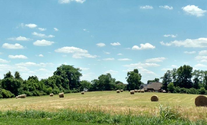
The purpose of the Agriculture (AG) District is to allow agriculture uses in accordance with the Comprehensive Plan and to preserve and maintain agriculture as a desired way of life. Agriculture includes the cultivation of crops, growing of produce, raising of livestock, small farm wineries, and certain activities involving horses. On-farm sales, agritourism businesses, and singlefamily homes associated with the agriculture uses are also appropriate. Existing woodlands, wetlands, and natural topography should be preserved to the greatest extent possible. Single family residential homes are permitted. Major subdivisions are not permitted in the agriculture district.
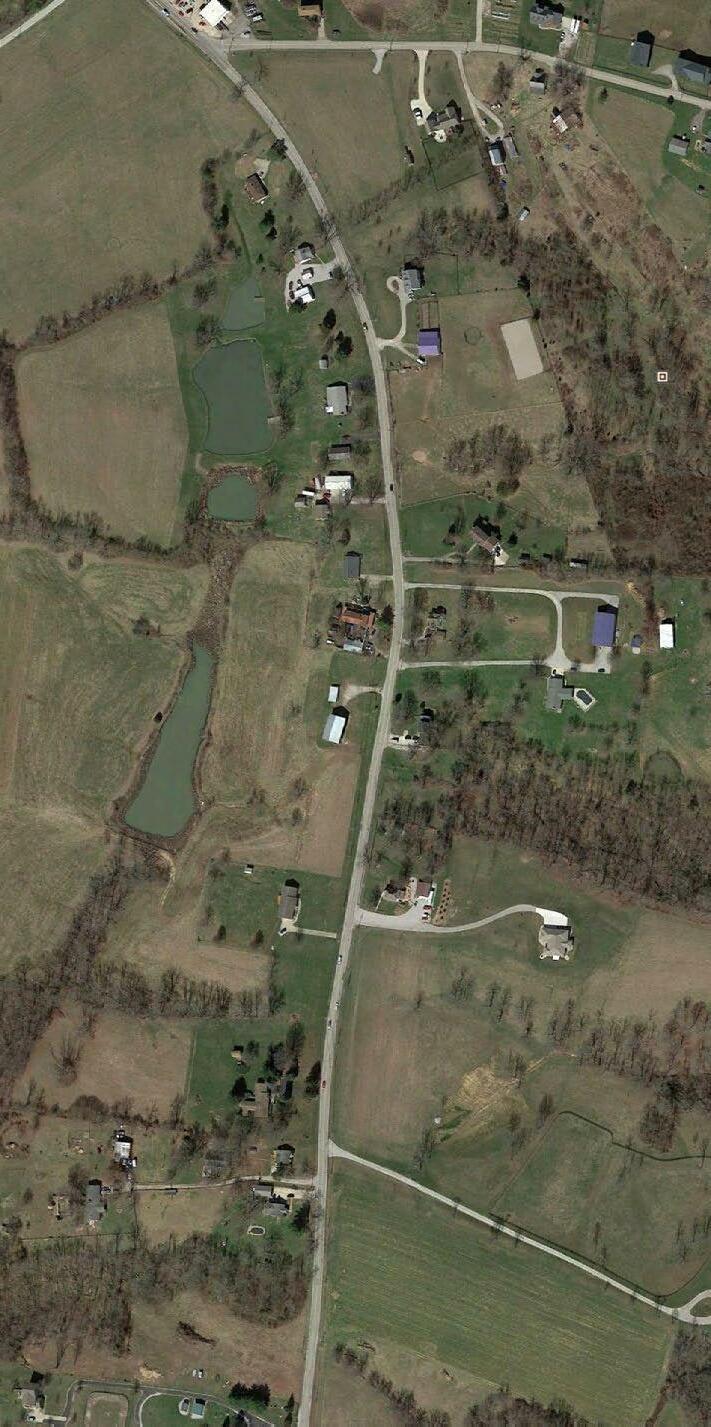
INTENSITY AND DIMENSIONAL STANDARDS EXAMPLE LOT PATTERN
Minimum Lot Area (ac) 1 > 2.5
Minimum Lot Width (ft)
100 Maximum Lot Width to Depth Ratio 2 1:3 Maximum Lot Coverage (%) 3 30 Maximum Height (ft) 4 35 Minimum Front Yard Setback (ft) 25 Minimum Side Yard Setback (ft) 5 10 Minimum Side Yard Setback on Corner Lot (ft) 10 Minimum Rear Yard Setback (ft) 20 CROSS REFERENCES Permitted Use and Special Exceptions Chapter 20.04 Development Standards Chapter 20.07 Parking and Loading Standards Chapter 20.09 Signs Chapter 20.10 NOTES 1 Minimum one acre permitted based on soils test and septic system approval from Vanderburgh County Health Department or connection to a sewer system. 2 Does not apply to primary uses of land that are agricultural uses as defined in the Definition Chapter. 3 Lot coverage includes all impervious surfaces. For active farmsteads, impervious surface may be increased to 50%.DRAFT 4 See Use Conditions for the height of accessory farming structures. 5 Aggregate side yard setback.

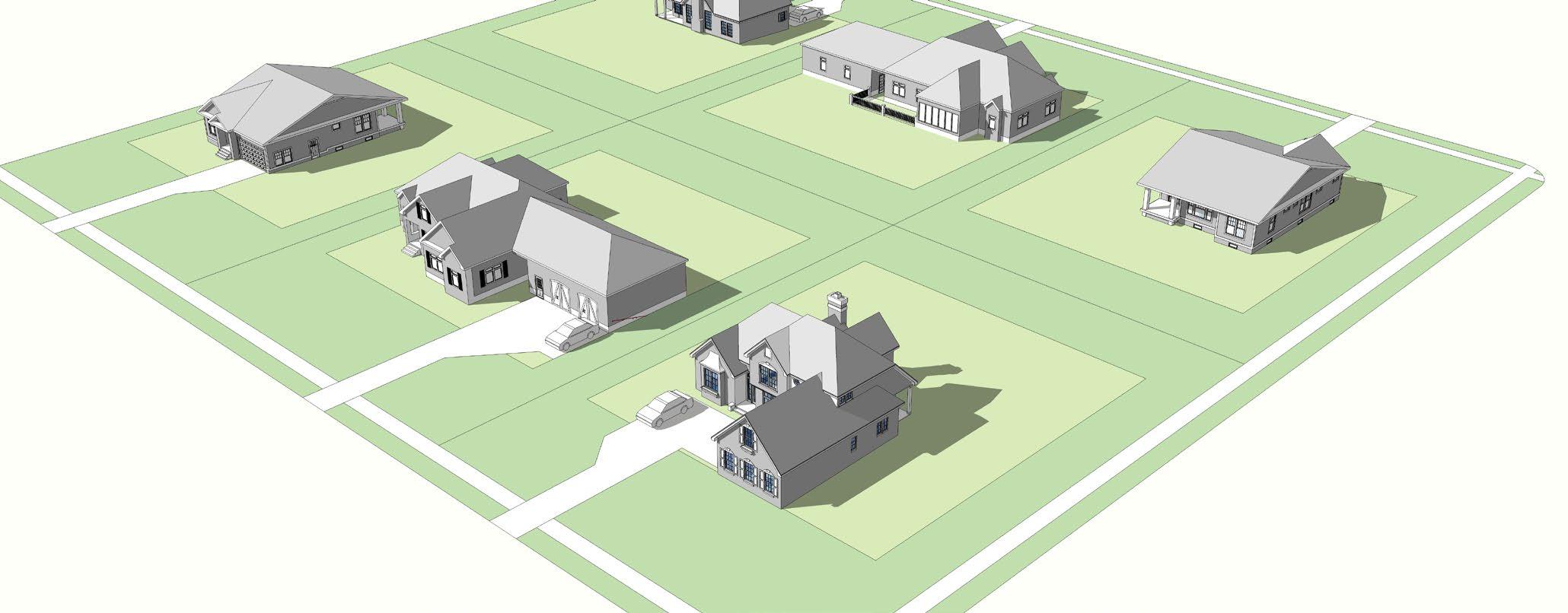
20.03.05.B. SINGLE-FAMILY RESIDENTIAL A (SFR-1a) PURPOSE EXAMPLE BUILDING TYPE
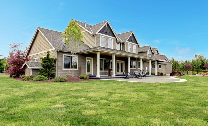
The purpose of the Single-Family Residential A (SFR-1a) District is to allow for single-family detached residential uses with larger lots sizes than permitted in the SFR-1b. These residences are typically within subdivisions. Secondary uses in this district could include open space, health and recreation uses, accessory dwelling units, education, and religious uses.
INTENSITY AND DIMENSIONAL STANDARDS1 EXAMPLE LOT PATTERN
Minimum Lot Area (sq.ft.) 2
Minimum Lot Width (ft)
5,000 50 Maximum Lot Width to Depth Ratio 1:2 Maximum Lot Coverage (%) 3 60 Maximum Height (ft) 35 Minimum Front Yard Setback (ft) 20 Minimum Side Yard Setback (ft) 4 Minimum Side Yard Setback on Corner Lot (ft) 10 Minimum Rear Yard Setback (ft) 20
CROSS REFERENCES
Permitted Use and Special Exceptions Chapter 20.04 Development Standards Chapter 20.07 Parking and Loading Standards Chapter 20.09 Signs Chapter 20.10
NOTES
1 For lots not connected to a public sewer system, the Agriculture District standards shall apply. 2 To achieve this lot size, there must be connection to public sewer or other acceptable waste disposal system as approved by the Vanderburgh County Health Department. 3 Lot coverage includes all impervious surfaces. 4 Aggregate side yard setback.
5 DRAFT
20.03.05.C. SINGLE-FAMILY RESIDENTIAL B (SFR-1b) PURPOSE EXAMPLE BUILDING TYPE
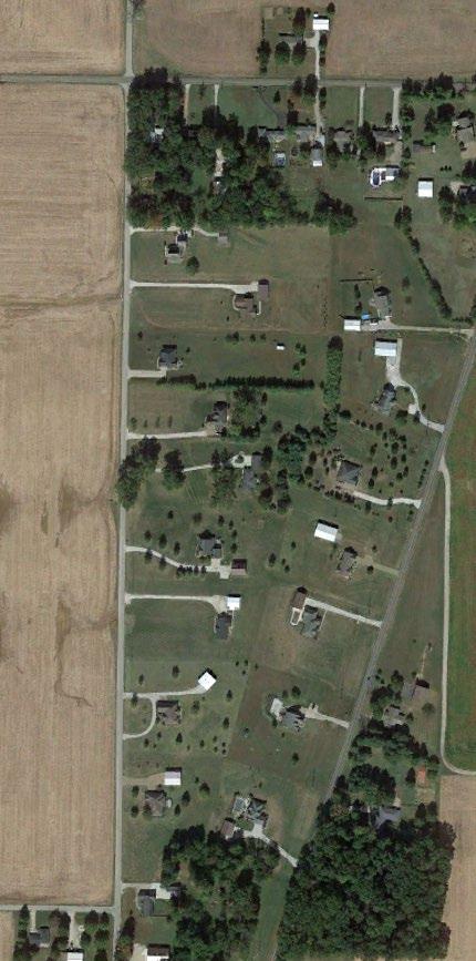
The purpose of the Single-Family Residential B (SFR-1b) District is to allow single-family detached residential uses with smaller lot sizes typically within subdivisions. Secondary compatible uses in this residential district could include open space, health and recreation uses, accessory dwelling units, education, and religious uses.
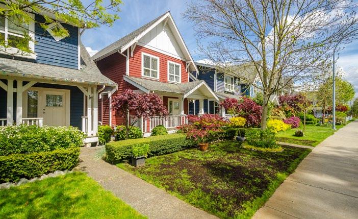
INTENSITY AND DIMENSIONAL STANDARDS1 EXAMPLE LOT PATTERN
Minimum Lot Area (sq.ft.) 2
Minimum Lot Width (ft)
4,000 40 Maximum Lot Width to Depth Ratio 1:3 Maximum Lot Coverage (%) 3 75 Maximum Height (ft) 35 Minimum Front Yard Setback (ft) 10 Minimum Side Yard Setback (ft) 4 Minimum Side Yard Setback on Corner Lot (ft) 10 Minimum Rear Yard Setback (ft) 10
CROSS REFERENCES
Permitted Use and Special Exceptions Chapter 20.04 Development Standards Chapter 20.07 Parking and Loading Standards Chapter 20.09 Signs Chapter 20.10
NOTES
1 For lots not connected to a public sewer system, the Agriculture District standards shall apply. 2 To achieve this lot size, there must be connection to public sewer or other acceptable waste disposal system as approved by the Vanderburgh County Health Department. 3 Lot coverage includes all impervious surfaces. 4 Aggregate side yard setback.
5 DRAFT
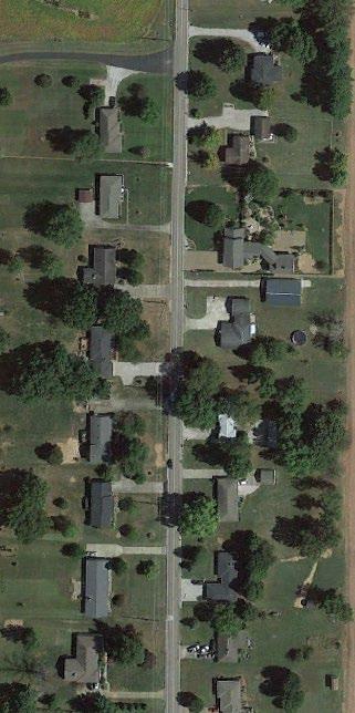
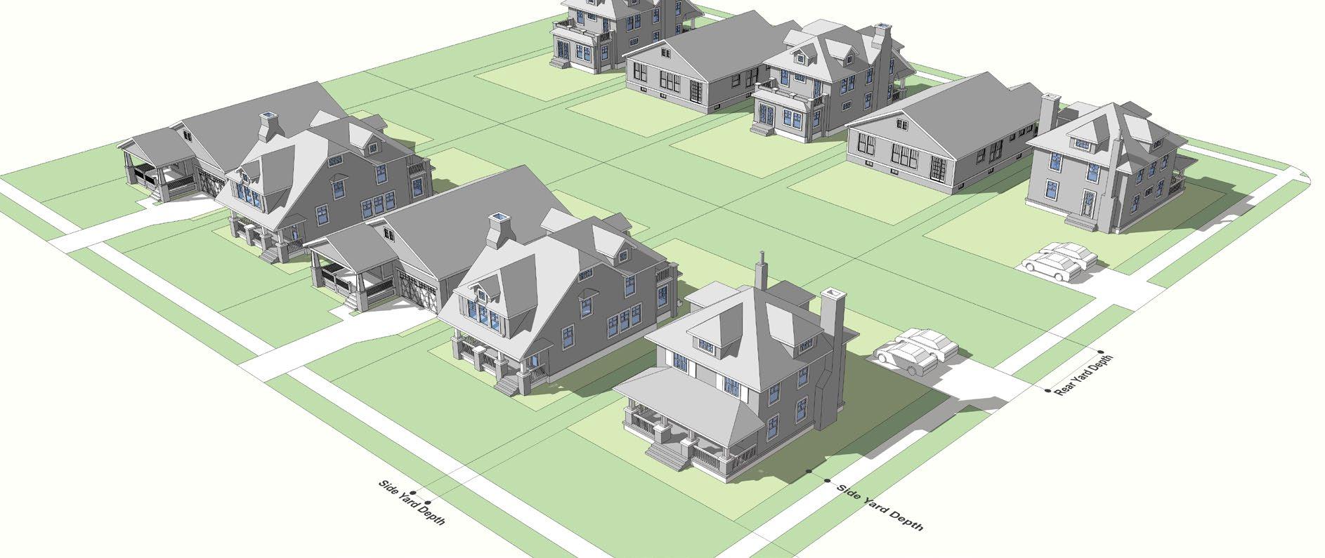
20.03.05.D. LOW-DENSITY RESIDENTIAL (LDR-2) PURPOSE EXAMPLE BUILDING TYPE
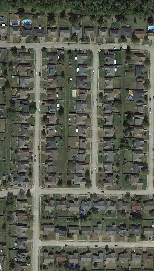
The intent of the Low Density Residential (LDR-2) District is to protect and strengthen existing residential neighborhoods and provide opportunities for several different types and sizes of single family residential dwelling units and subdivisions while ensuring compatibility with surrounding patterns of development. The defined character may vary by neighborhood, but new development should reflect the scale of adjacent neighborhoods. Neighborhoods in this district should have walkable, well-connected street systems that connect to adjacent neighborhoods and destinations. Residential types could include single family units, single family attached units, duplex units, and townhouses/ row houses. Supporting non-residential uses located in this district could be parks, schools, and institutional uses, as well as neighborhood-scaled low intensity commercial uses at key intersections with special use approval.
INTENSITY AND DIMENSIONAL STANDARDS EXAMPLE LOT PATTERN
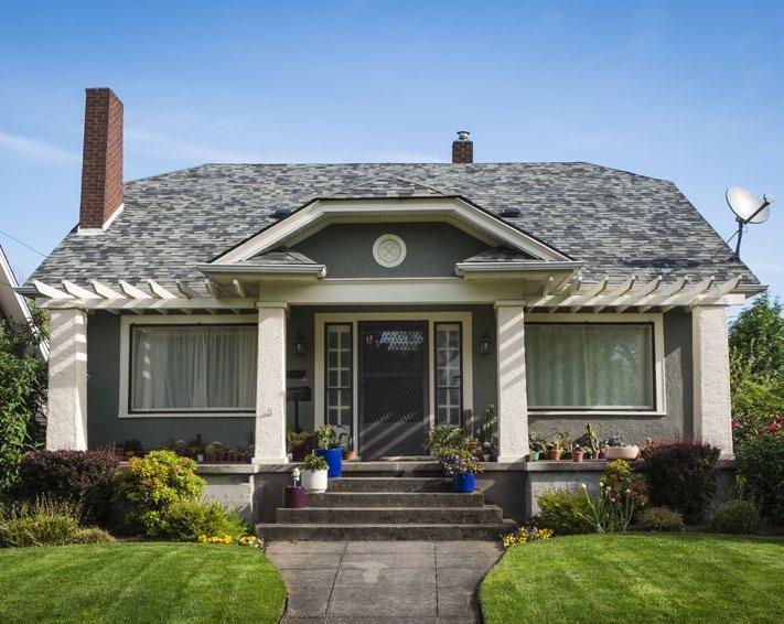
Minimum Lot Area (sq.ft.) 4,000 Minimum Lot Width (ft) 40 Maximum Lot Coverage (%) 1 75 Maximum Height (ft) 35 Minimum Front Yard Setback (ft) 10 Minimum Side Yard Setback (ft) 2 Minimum Side Yard Setback on Corner Lot (ft) 10 Minimum Rear Yard Setback (ft) 10
CROSS REFERENCES
Permitted Use and Special Exceptions Chapter 20.04 Development Standards Chapter 20.07 Parking and Loading Standards Chapter 20.09 Signs Chapter 20.10
NOTES
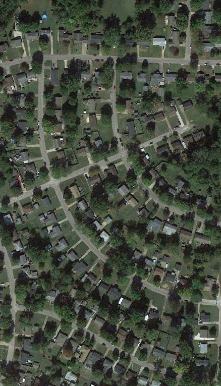
51 Lot coverage includes all impervious surfaces. 2 Aggregate side yard setbackDRAFT
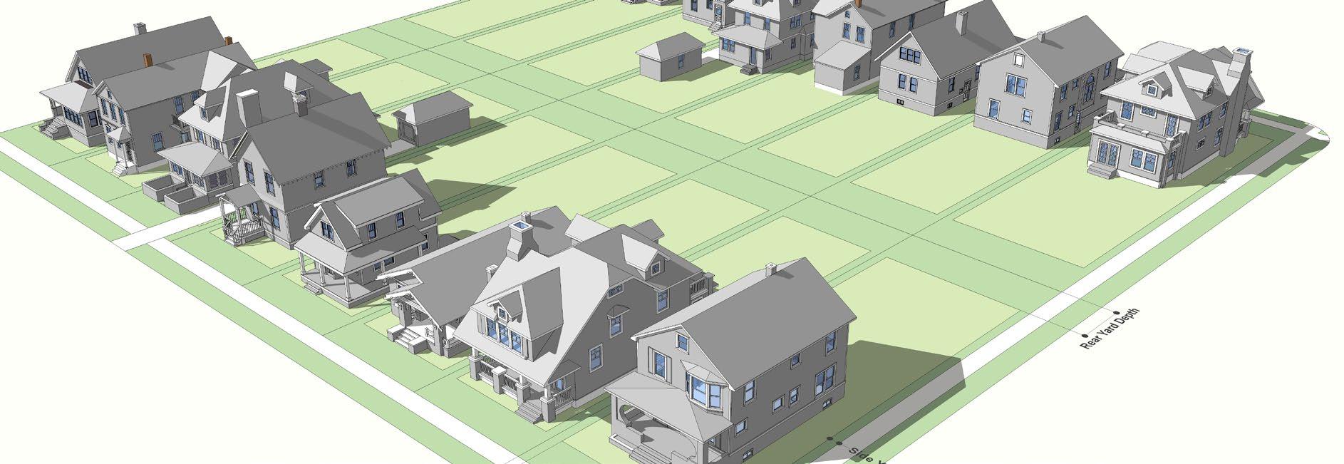
20.03.05.E. MEDIUM-DENSITY RESIDENTIAL (MDR-3) PURPOSE EXAMPLE BUILDING TYPE
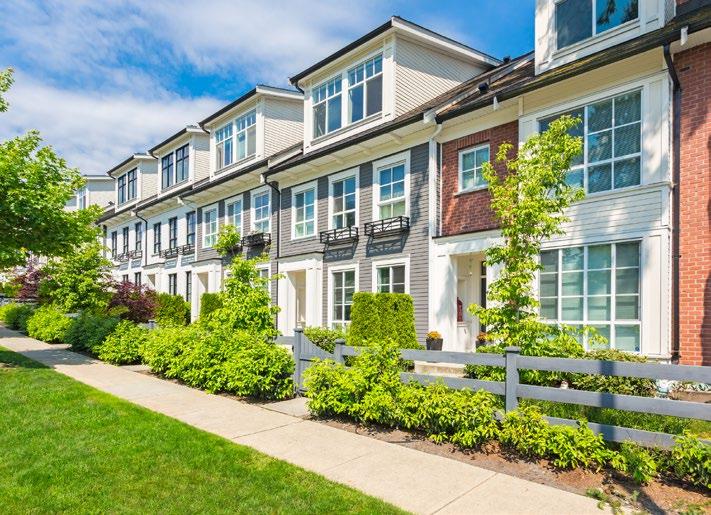
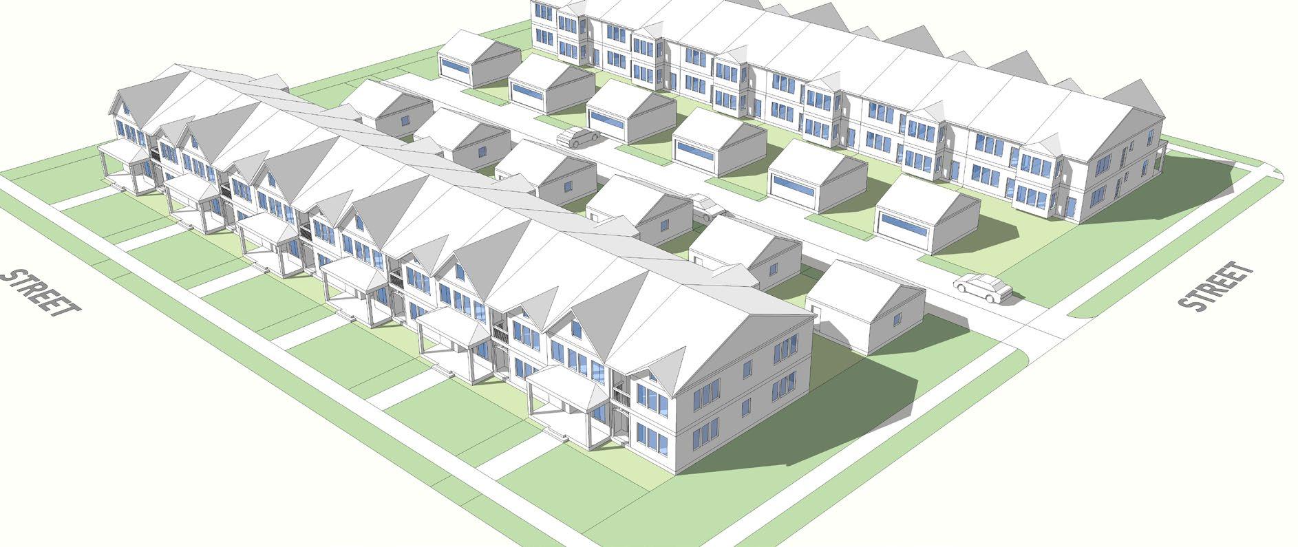
The intent of the High Density Residential (HDR-3) District is to protect and strengthen existing residential neighborhoods by accommodating smaller residential lot sizes, varying residential types, along with supporting uses in a higher density, urbanized area. Residential types could include single family residential, duplex, triplex, quadplex or other multi-unit structures, apartments, live-work units, or second floor residential. Mixed-use and infill development should be sensitive to the surrounding scale and context of the established development pattern and character of the existing built environment. Supporting non-residential uses, such as parks, schools, and institutional uses. Low-intensity neighborhood commercial uses may also be appropriate at key intersections in this district as special uses.
INTENSITY AND DIMENSIONAL STANDARDS EXAMPLE LOT PATTERN
Minimum Lot Area (sq.ft.)
4,000 Minimum Lot Width (ft) 30 Maximum Lot Coverage (%) 1 85 Maximum Height (ft) 2 65 Minimum Front Yard Setback (ft) 10 Minimum Side Yard Setback (ft) 3 Minimum Side Yard Setback on Corner Lot (ft) 10 Minimum Rear Yard Setback (ft) 5
CROSS REFERENCES
Permitted Use and Special Exceptions Chapter 20.04 Development Standards Chapter 20.07 Parking and Loading Standards Chapter 20.09 Signs Chapter 20.10
NOTES
5
1 Lot coverage includes all impervious surfaces. 2 Buildings abutting property in SFR-1a, SFR-1b, and AG districts must comply with the standards in Section XX, Neighborhood Transition Standards.
. 3 Aggregate side yard setback.DRAFT
20.03.05.F. HIGH-DENSITY AND MIXED-USE RESIDENTIAL (HMR-4) PURPOSE EXAMPLE BUILDING TYPE
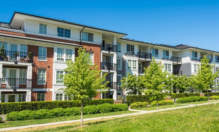
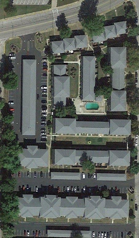
The intent of the High Rise & Mixed Use Residential (HMR-4) District is to support multiple-story living units in a high density, urbanized area. Development types could include high rise apartment buildings, apartment complexes, multistory mixed use building with retail or office on the ground floor and residential above, or other types of multi-family uses that are similar in density and scale. Complimentary uses could include office, commercial, non-residential uses, parks, schools, and institutional uses.
INTENSITY AND DIMENSIONAL STANDARDS EXAMPLE LOT PATTERN
Minimum Lot Area (sq.ft.) 4,000
Minimum Lot Width (ft)
40 Maximum Lot Coverage (%) 1 90 Maximum Height (ft) 2 150 Minimum Front Yard Setback (ft) Minimum Side Yard Setback (ft) 3 2 Minimum Side Yard Setback on Corner Lot (ft) 10 Minimum Rear Yard Setback (ft) 2
CROSS REFERENCES
Permitted Use and Special Exceptions Chapter 20.04 Development Standards Chapter 20.07 Parking and Loading Standards Chapter 20.09 Signs Chapter 20.10
NOTES
01 Lot coverage includes all impervious surfaces. 2 Buildings abutting property in SFR-1a, SFR-1b, LDR-2, and AG districts must comply with the standards in Section XX, Neighborhood Transition Standards. 3 Aggregate side yard setback.DRAFT
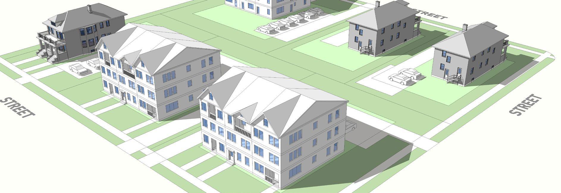
20.03.05.G. NEIGHBORHOOD COMMERCIAL (NC-1) PURPOSE EXAMPLE BUILDING TYPE
The Neighborhood Commercial (NC-1) District is intended to provide locations for a variety of small-scale, storefront, mixed-use commercial, professional office, and residential activities. These can include convenience stores, retail shops, some personal and professional services, apartments, live-work units, etc. This district typically contains businesses that primarily serve the neighborhoods they are located in and often are clustered at key intersections. Development in this district should be designed to fit in with the surrounding character regarding building height, scale, orientation, green space, access, parking, walkability and connectivity to the neighborhood it serves.
INTENSITY AND DIMENSIONAL STANDARDS EXAMPLE LOT PATTERN
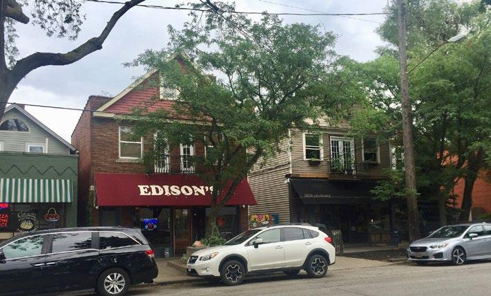
Maximum Lot Area (sq.ft.) 20,000
Minimum Lot Width (ft) n/a
Maximum Lot Coverage (%) 1
Maximum Height (ft) 2 85 35
Maximum Front Yard Setback (ft) 2, 3 Minimum Side Yard Setback (ft) 2 0 Minimum Side Yard Setback on Corner Lot (ft) 10 Minimum Rear Yard Setback (ft) 0
CROSS REFERENCES
Permitted Use and Special Exceptions Chapter 20.04 Development Standards Chapter 20.07 Parking and Loading Standards Chapter 20.09 Signs Chapter 20.10
NOTES
1 Lot coverage includes all impervious surfaces. 2 Buildings abutting property in SFR-1a, SFR-1b, LDR-2, SFR-1, and AG districts must comply with the standards in Section 20.07.XX., Neighborhood Transition Standards. 3 The side yard setback must be consistent with adjacent properties.
5 DRAFT
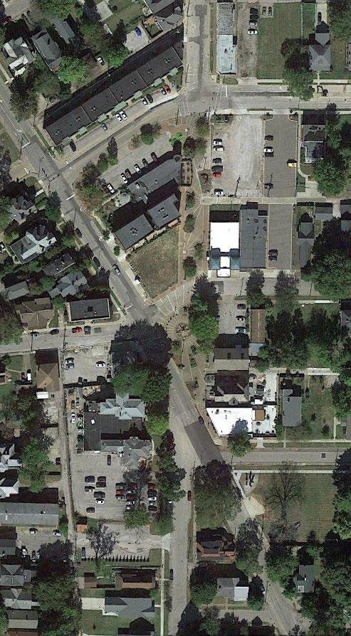
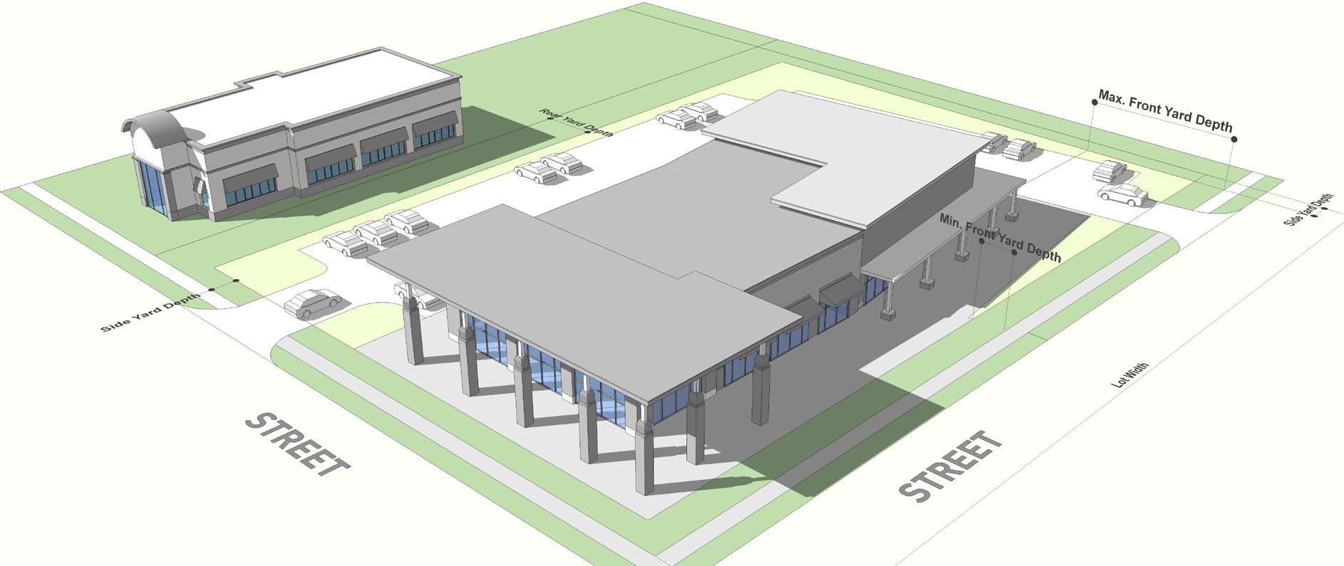
20.03.05.H. COMMUNITY COMMERCIAL (CC-2) PURPOSE EXAMPLE BUILDING TYPE
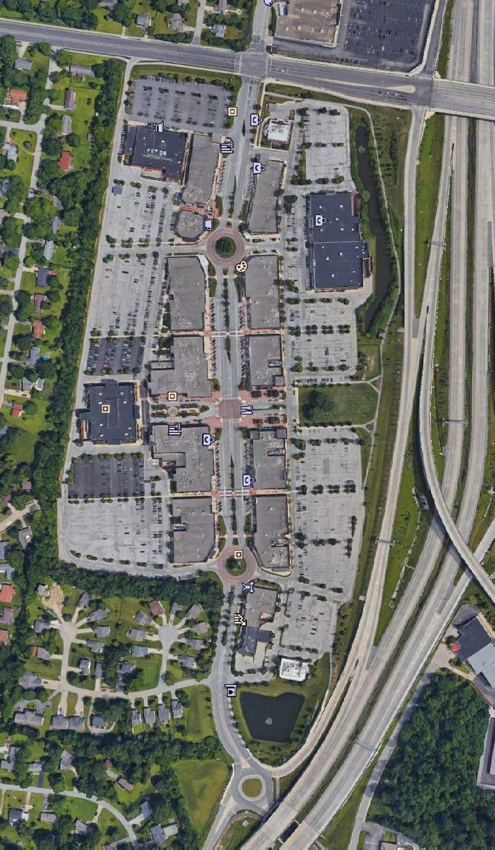
The Community Commercial (CC-2) District is intended to provide locations for a variety of free-standing, small-scale, storefront commercial, professional office, and residential activities. Additional single-use larger commercial stores may be supported in a single building or through the development of a commercial strip with multiple uses. These can include convenience stores, retail shops, some personal and professional services, restaurants, etc. This district is typically serves many neighborhoods or a portion of the community, a larger area than the neighborhood commercial district. Developments in this district might have multiple access points along roadways; development may even front along a major roadway. Development in this district should be designed to fit in with the surrounding character regarding building height, scale, orientation, access, parking, walkability and connectivity to the residential areas it serves.
INTENSITY AND DIMENSIONAL STANDARDS EXAMPLE LOT PATTERN
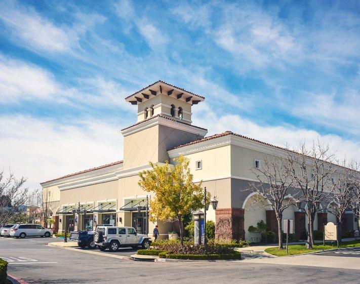
Minimum Lot Area (sq.ft.) 20,000 Minimum Lot Width (ft) n/a Maximum Lot Coverage (%) 1 60 Maximum Height (ft) 2 50 Minimum Front Yard Setback (ft) 2 10 Minimum Side Yard Setback (ft) 2 10 Minimum Side Yard Setback on Corner Lot (ft) 10 Minimum Rear Yard Setback (ft) 20 CROSS REFERENCES Permitted Use and Special Exceptions Chapter 20.04 Development Standards Chapter 20.07 Parking and Loading Standards Chapter 20.09 Signs Chapter 20.10 NOTES 1 Lot coverage includes all impervious surfaces. 2 Buildings abutting property in SFR-1a, SFR-1b, LDR-2, and AG districts must comply with the standards in Section 20.07.XX., Neighborhood Transition Standards. DRAFT
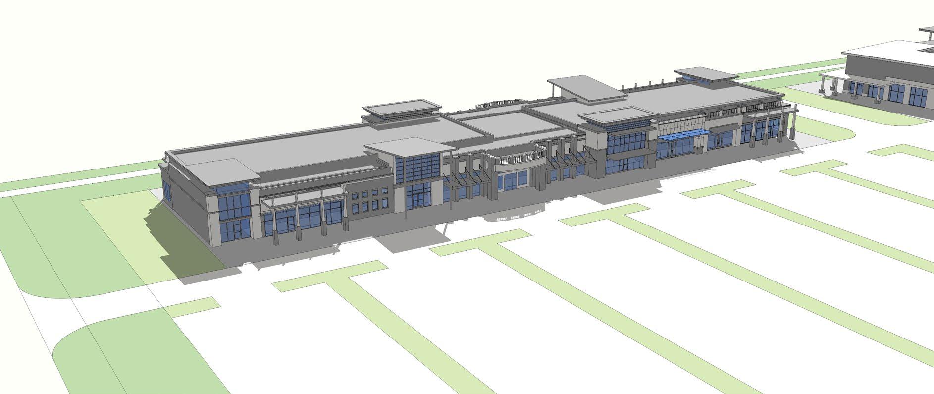
20.03.05.I. REGIONAL COMMERCIAL (RC-3) PURPOSE EXAMPLE BUILDING TYPE
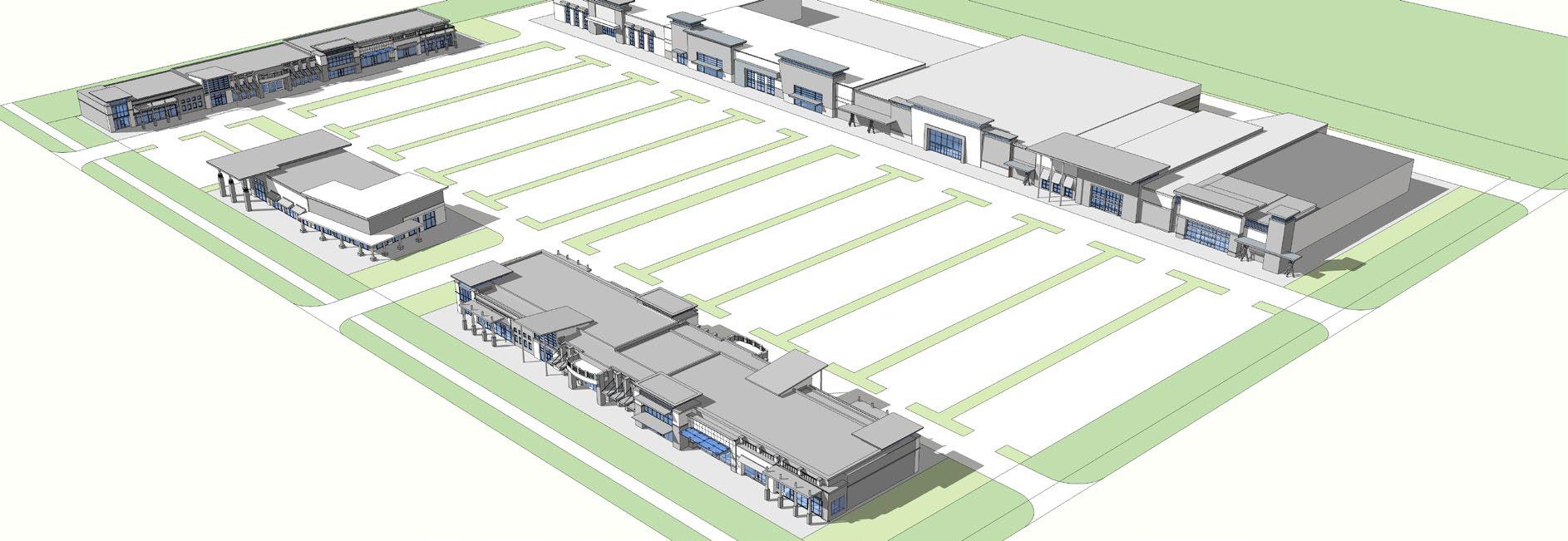
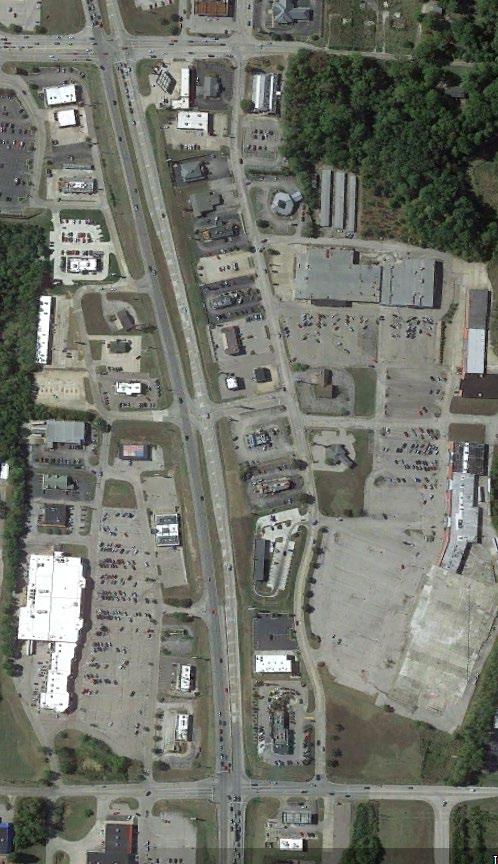
The Regional Commercial (RC-3) District is intended to provide locations for medium-scaled employment and community and regional commercial projects that provide a mixture of retail, office-related uses, and goods and services that provide significant employment opportunities to the area. Given the change in the retail market, this district offers flexibility to redevelop areas along arterial and collector streets that accommodate increased traffic demands. Redevelopment is encouraged but should be sensitive to any surrounding residential. Residential could be incorporated as part of a redevelopment concept.

INTENSITY AND DIMENSIONAL STANDARDS EXAMPLE LOT PATTERN
Minimum Lot Area (sq.ft.) n/a
Minimum Lot Width (ft) n/a
Maximum Lot Coverage (%) 1
Maximum Height (ft) 2 75 50
Minimum Front Yard Setback (ft) 2 Minimum Side Yard Setback (ft) 2 0 Minimum Side Yard Setback on Corner Lot (ft) 10 Minimum Rear Yard Setback (ft) 2 0
CROSS REFERENCES
Permitted Use and Special Exceptions Chapter 20.04 Development Standards Chapter 20.07 Parking and Loading Standards Chapter 20.09 Signs Chapter 20.10
NOTES
1 Lot coverage includes all impervious surfaces. 2 Buildings abutting property in SFR-1a, SFR-1b, LDR-2, and AG districts must comply with the standards in Section 20.07.XX., Neighborhood Transition Standards.
0 DRAFT
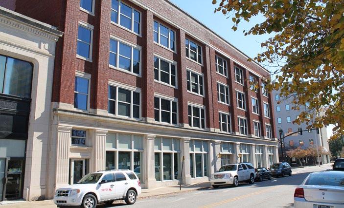
20.03.05.J. CENTRAL BUSINESS DISTRICT (CBD) PURPOSE EXAMPLE BUILDING TYPE
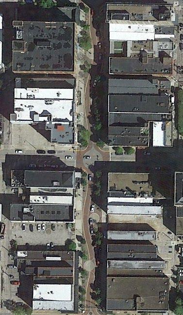
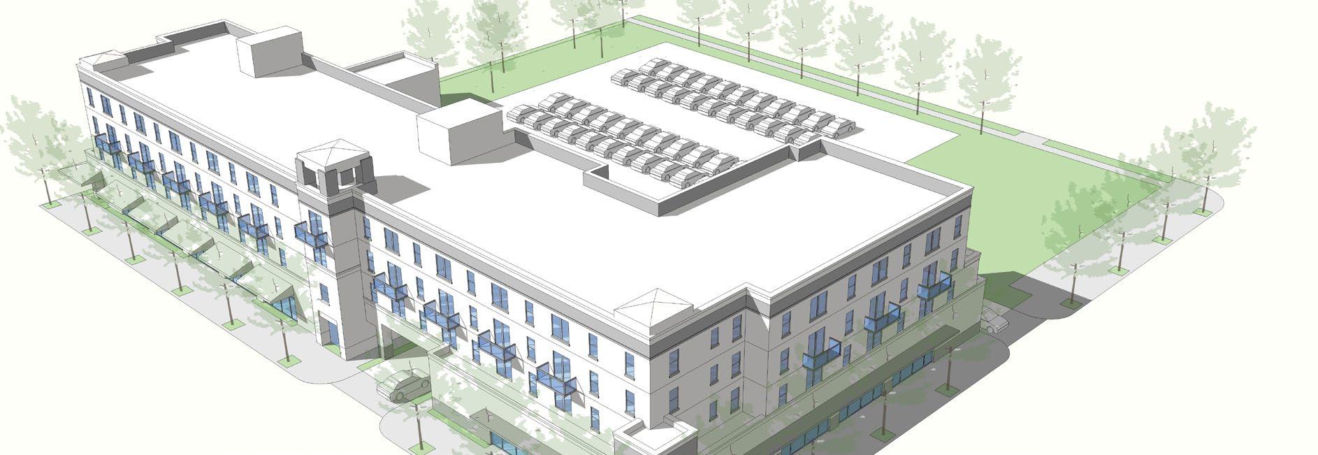
The Central Business District (CBD) is to promote and foster an expanded role for the downtown so that it will offer substantial retail, service, residential, cultural, and entertainment components to produce a thriving regional center. The development in this district is intended to include a mix of multiple-story, moderate-to-high density uses that will promote active streets including office, commercial, townhomes, apartments, and plazas.
INTENSITY AND DIMENSIONAL STANDARDS EXAMPLE LOT PATTERN
Minimum Lot Area (sq.ft.) n/a
Minimum Lot Width (ft)
0 Maximum Lot Coverage (%) 1 100 Maximum Height (ft) 0 Minimum Front Yard Setback (ft) 2 Minimum Side Yard Setback (ft) 2 0 Minimum Side Yard Setback on Corner Lot (ft) 2 0 Minimum Rear Yard Setback (ft) 2 0
CROSS REFERENCES
Permitted Use and Special Exceptions Chapter 20.04 Development Standards Chapter 20.07 Parking and Loading Standards Chapter 20.09 Signs Chapter 20.10
NOTES
1 Lot coverage includes all impervious surfaces. 2 Buildings abutting property in lesser residential or commercial district must comply with the standards in Section 20.07.XX., Neighborhood Transition Standards.
0 DRAFT
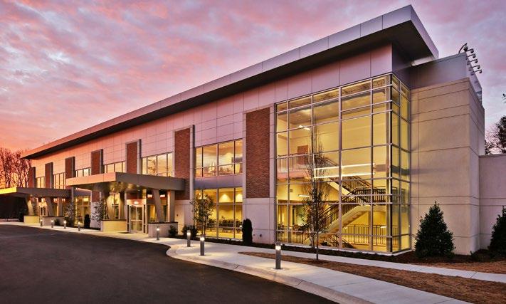
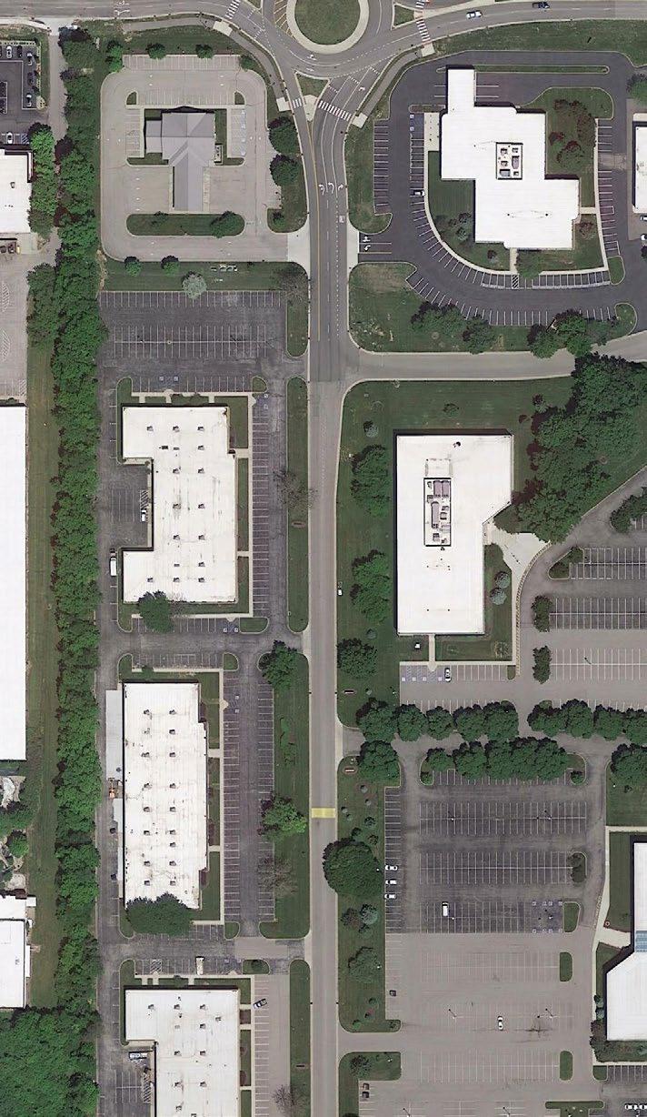
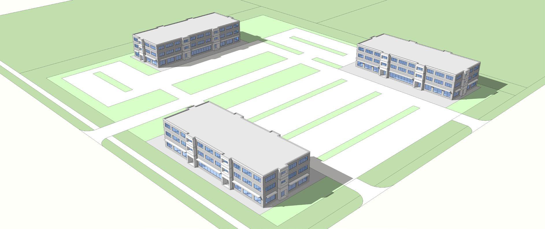
20.03.05.K. EMPLOYMENT (EM-1) PURPOSE EXAMPLE BUILDING TYPE
The intent of the Employment (EM-1) District is to provide locations for future employment uses that provide the basic needs for Evansville, Vanderburgh County, and the Tri-State region while ensuring the uses, parcel layout, access, and scale are consistent with surrounding development. It is anticipated that this district be broad enough to allow for the changes in technology overtime and promote redevelopment of old business park areas. Many different uses are considered employment uses, but careful consideration should be given to the location, size, height, outputs, storage, traffic, and impact to adjacent properties.
INTENSITY AND DIMENSIONAL STANDARDS EXAMPLE LOT PATTERN
Minimum Lot Area (sq.ft.) n/a
Minimum Lot Width (ft) n/a
Maximum Lot Coverage (%) 1
Maximum Height (ft)
75 60 Minimum Front Yard Setback (ft) 2 10 Minimum Side Yard Setback (ft) 2 5 / 10 2 Minimum Side Yard Setback on Corner Lot (ft) 2 10 Minimum Rear Yard Setback (ft) 2 5 / 10 2 CROSS REFERENCES Permitted Use and Special Exceptions Chapter 20.04 Development Standards Chapter 20.07 Parking and Loading Standards Chapter 20.09 Signs Chapter 20.10 NOTES 1 Lot coverage includes all impervious surfaces. 2 Buildings abutting property in lesser residential or commercial district must comply with the standards in Section 20.07.XX., Neighborhood Transition Standards. DRAFT
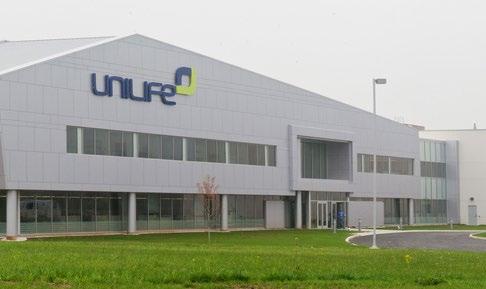
20.03.05.L. HEAVY INDUSTRIAL (HM-2) PURPOSE EXAMPLE BUILDING TYPE
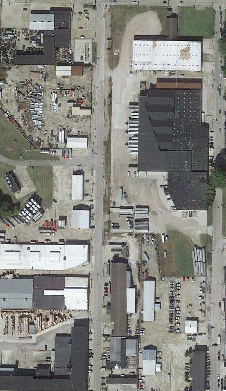
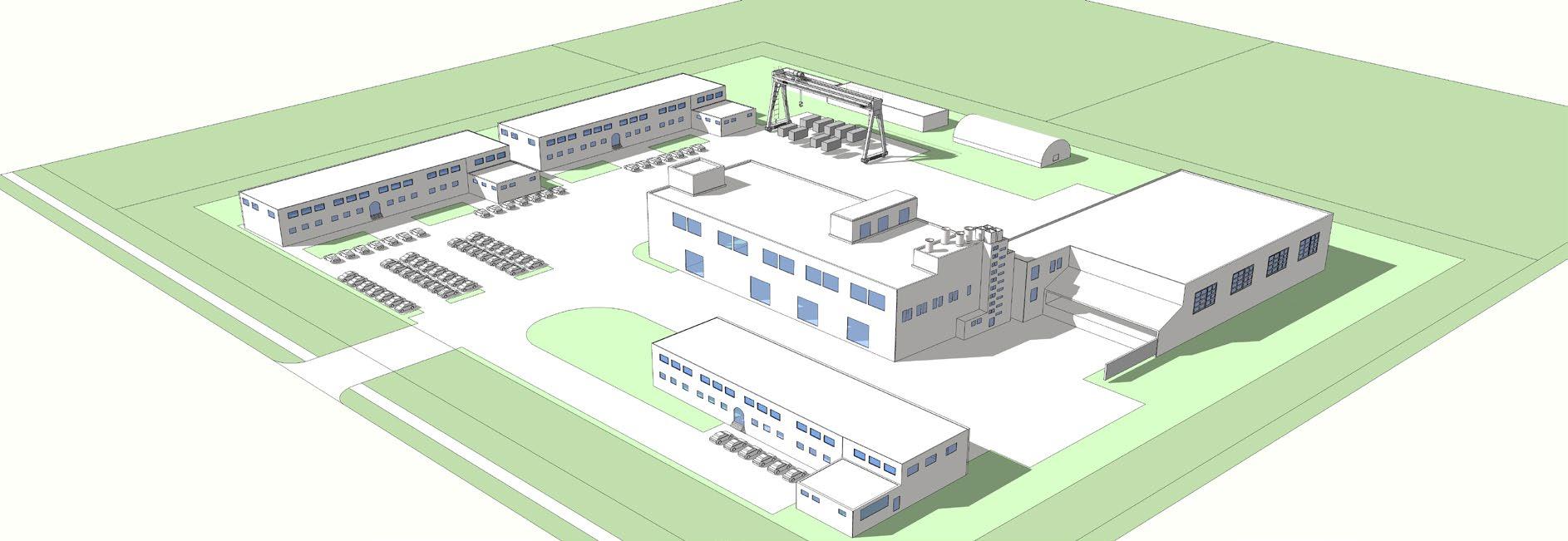
The Heavy Industrial (HM-2) District is intended to provide locations for intensive industrial uses that have extensive outdoor storage/service areas, generate heavy truck traffic, or create negative impacts that must be mitigated or buffered.
INTENSITY AND DIMENSIONAL STANDARDS EXAMPLE LOT PATTERN
Minimum Lot Area (sq.ft.) n/a
Minimum Lot Width (ft)
n/a Maximum Lot Coverage (%) 1 75 Maximum Height (ft) n/a Minimum Front Yard Setback (ft) 2 10 Minimum Side Yard Setback (ft) 2 5 / 10 2 Minimum Side Yard Setback on Corner Lot (ft) 2 10 Minimum Rear Yard Setback (ft) 2 5 / 10 2 CROSS REFERENCES Permitted Use and Special Exceptions Chapter 20.04 Development Standards Chapter 20.07 Parking and Loading Standards Chapter 20.09 Signs Chapter 20.10 NOTES 1 Lot coverage includes all impervious surfaces. 2 Buildings abutting property in lesser residential or commercial district must comply with the standards in Section 20.07.XX., Neighborhood Transition Standards. DRAFT
20.03.05.M. PLANNED UNIT DEVELOPMENT (PUD) PURPOSE
The purpose of the Planned Unit Development (PUD) District is to provide a means of achieving innovative and creative design and flexibility of development through an alternative zoning procedure when sufficiently justified under the provisions of this Chapter. Planned Unit Developments are intended to encourage a higher quality of design and more than would typically occur according to conventional zoning districts. A PUD may incorporate a variety of residential types and nonresidential uses. These projects may also contain both individual building sites and common property which are planned and developed as a unit. The result shall fulfill the objectives of the comprehensive plan and other planning policies of the City and County while departing from the application of the district regulations.
INTENSITY AND DIMENSIONAL STANDARDS
Minimum Lot Area (sq.ft.) Minimum Lot Width (ft) Based on PUD District Ordinance Maximum Height (ft) Minimum Front Yard Setback (ft) Minimum Side Yard Setback (ft) Minimum Side Yard Setback on Corner Lot (ft) Minimum Rear Yard Setback (ft) CROSS REFERENCES Permitted Use and Special Exceptions Chapter 20.04 Development Standards Chapter 20.07 Parking and Loading Standards Chapter 20.09 Signs Chapter 20.10 NOTES DRAFT
20.03.05.N. WATERFRONT MIXED-USE (W-MU) PURPOSE EXAMPLE BUILDING TYPE
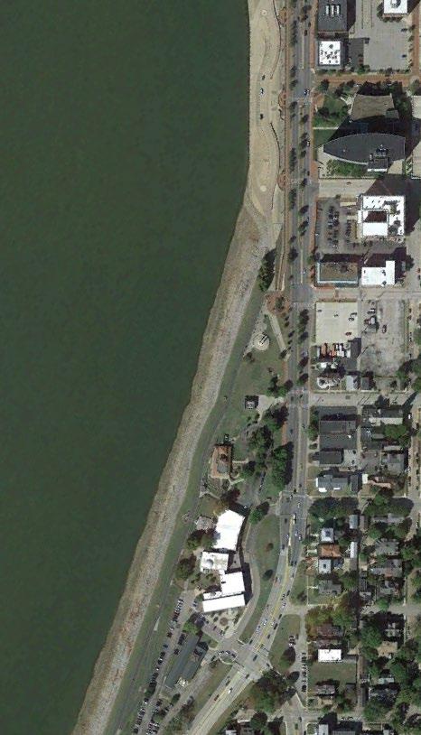
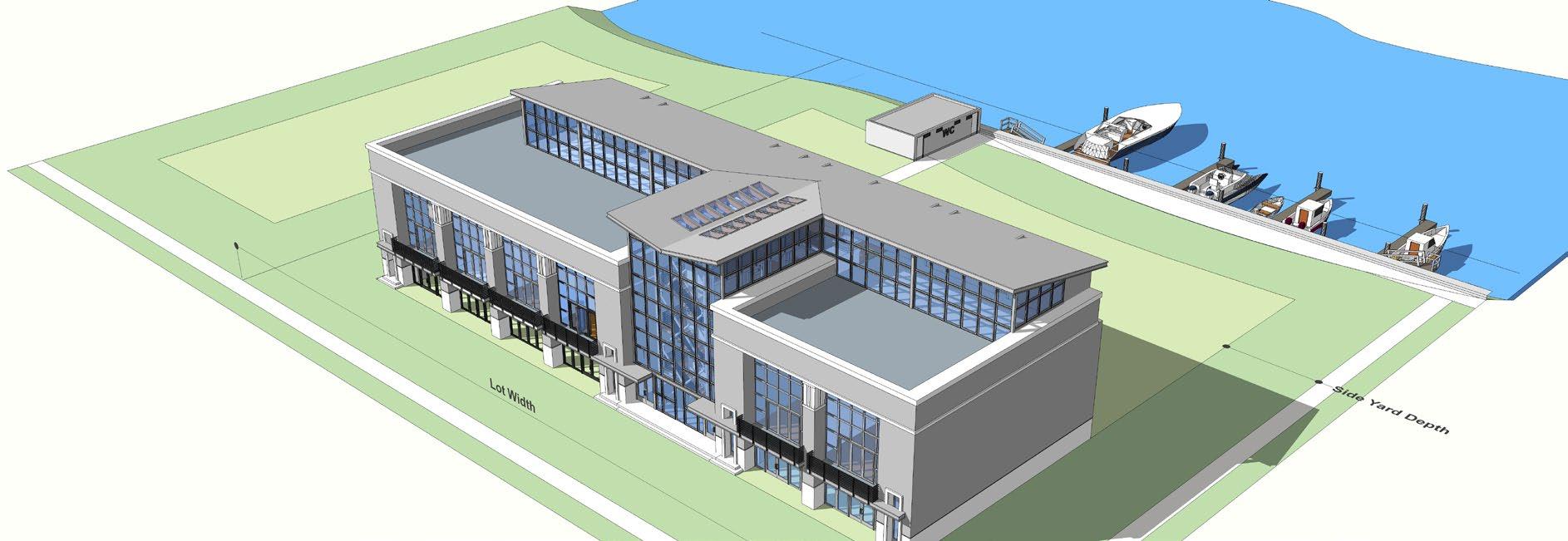
The Waterfront Mixed Use (W-MU) District is to recognize the value of the Ohio River as an amenity and destination while also ensuring adjacent development does not negatively impact the river itself or views of the river from other areas of the community. The Waterfront District can accommodate a range of uses that highlight the river, including boat harbors and marinas, hotels, parks, residential, and recreation activities.

INTENSITY AND DIMENSIONAL STANDARDS EXAMPLE LOT PATTERN
Minimum Lot Area (sq.ft.) n/a
Minimum Lot Width (ft)
n/a Maximum Lot Coverage (%) 1 75 Maximum Height (ft) 35 Minimum Front Yard Setback (ft) 2 10 Minimum Side Yard Setback (ft) 2 Minimum Side Yard Setback on Corner Lot (ft) 2 10 Minimum Rear Yard Setback (ft) 2 n/a
CROSS REFERENCES
Permitted Use and Special Exceptions Chapter 20.04 Development Standards Chapter 20.07 Parking and Loading Standards Chapter 20.09 Signs Chapter 20.10
NOTES
1 Lot coverage includes all impervious surfaces. 2 Buildings abutting property in lesser residential or commercial district must comply with the standards in Section 20.07.XX., Neighborhood Transition Standards.
5 DRAFT
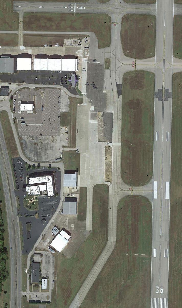
20.03.05.O. AIRPORT (AIR) PURPOSE EXAMPLE BUILDING TYPE
The Airport District (AIR) is intended to protect the public health, safety, and welfare by regulating the development and land uses in the area needed for operation of the Evansville Airport. To maintain the functionality of the airport, promote the airport as an economic development generator for the City and County, and minimize land use conflicts and incompatibility between the airport, future airport expansion, the natural environment, and adjacent other adjacent land uses, certain regulations are established. This district will regulate the use, height, size, and location of noise sensitive uses in order to mitigate negative impacts to airport operations.
INTENSITY AND DIMENSIONAL STANDARDS EXAMPLE LOT PATTERN

Minimum Lot Area (sq.ft.) Minimum Lot Width (ft) Maximum Height (ft) 1 Minimum Front Yard Setback (ft) Minimum Side Yard Setback (ft) Minimum Side Yard Setback on Corner Lot (ft) Minimum Rear Yard Setback (ft) CROSS REFERENCES Permitted Use and Special Exceptions Chapter 20.04 Development Standards Chapter 20.07 Parking and Loading Standards Chapter 20.09 Signs Chapter 20.10 NOTES 1 No structure shall exceed the height restricts established by FAA Regulations Part 77 as incorporated in the Evansville Airport Plan of current adoption and adopted by reference as an element of this Ordinance. The owner of any legal, non-conforming structure or tree in the AIR district is required to permit the installation, operations, and maintenance of any markers and lights deemed necessary by the Evansville-Vanderburgh Airport Authority to indicate the presence of such hazards. DRAFT
20.03.05.P. AIRPORT OVERLAY DISTRICT (AIR-O) PURPOSE
The Airport Overlay District (AIR-O) is intended to protect the public health, safety, and welfare by regulating the development and land uses beyond the immediate area of the Evansville Airport. Additional restrictions are needed outside of land zoned for airport use in order to maintain the functionality of the airport, promote the airport as an economic development generator for the City and County, and minimize land use conflicts and incompatibility between the airport, future airport expansion, and the natural environment.
INTENSITY AND DIMENSIONAL STANDARDS
Minimum Lot Area (sq.ft.) Minimum Lot Width (ft) Maximum Height (ft) 1 Minimum Front Yard Setback (ft) Minimum Side Yard Setback (ft) Minimum Side Yard Setback on Corner Lot (ft) Minimum Rear Yard Setback (ft) CROSS REFERENCES Permitted Use and Special Exceptions Chapter 20.04 Development Standards Chapter 20.07 Parking and Loading Standards Chapter 20.09 Signs Chapter 20.10 NOTES 1 No structure shall exceed the height restrictions established by FAA Regulations Part 77 as incorporated in the Evansville Airport Plan of current adoption and adopted by reference as an element of this Ordinance. The owner of any legal, nonconforming structure or tree in the AIR district is required to permit the installation, operations, and maintenance of any markers and lights deemed necessary by the Vanderburgh Airport Authority to indicate the presence of such hazards. DRAFT
20.03.05.Q. JACOBSVILLE OVERLAY DISTRICT (JAC-O) PURPOSE
The purpose of the Jacobsville Overlay District (JAC-O) District is to promote a mixed-use neighborhood with additional residential options, promoting neighborhood supporting uses all of which are integrated in a traditional residential neighborhood development, while preserving the low to medium intensity character of the neighborhood. This overlay district provides flexibility by permitting more land uses and relaxing some dimensional standards to encourage compatible, high quality development.
INTENSITY AND DIMENSIONAL STANDARDS
Res. Live/Work Area
North Main Bus. Corridor Mixed-Use Dev. Area
Maximum Lot Coverage (%) 1
Maximum Height (ft)
Res. Zone Live/Work MU
Non-Res. MU Non-Res.
60 80 85 80 Table A Table A or 50 2 Max 5 floors or 75 3 50 Minimum Front Yard Setback (ft) 10 0 5 Minimum Side Yard Setback (ft) 2 2 0 2 Minimum Side Yard Setback on Corner Lot (ft) 5 5 5 5 Minimum Rear Yard Setback (ft) 18 4 / 20 5 0 4 / 10 5 0 0 4 / 10 5
CROSS REFERENCES
Permitted Use and Special Exceptions Chapter 20.04 Development Standards Chapter 20.07 Parking and Loading Standards Chapter 20.09 Signs Chapter 20.10
NOTES
1 Lot coverage includes all impervious surfaces. 2 Whichever is less. 3 Whichever is greater. 4 When abutting an alley. 5 When abutting a neighboring lot.
5 DRAFT
20.03.05.R. ARTS OVERLAY ZONE (ART-O) PURPOSE
The purpose of the Arts Overlay Zone (ART-O) is to facilitate the development of a mixed use area with art-related businesses, other low intensity, neighborhood-supporting businesses, live/work units and traditional residences integrated together in a manner that maintains the residential character of the area. The ART-O offers more flexibility in uses and development standards and provides incentives for new development.
INTENSITY AND DIMENSIONAL STANDARDS
Minimum Lot Area (sq.ft.) Minimum Lot Width (ft) Underlying Base District and Use Standards Maximum Residential Density (units/ac) Maximum Height (ft) Minimum Front Yard Setback (ft) Minimum Side Yard Setback (ft) Minimum Side Yard Setback on Corner Lot (ft) Minimum Rear Yard Setback (ft) CROSS REFERENCES Permitted Use and Special Exceptions Chapter 20.04 Development Standards Chapter 20.07 Parking and Loading Standards Chapter 20.09 Signs Chapter 20.10 NOTES In the Residential Transition Area, mixed used buildings: no more than 50 percent of the total floor area up to 1,000 square feet can be used for nonresidential purposes within residential districts DRAFT


