Portfolio of Urban Designer


s23ud@outlook.com

www.linkedin.com/in/samaaaa
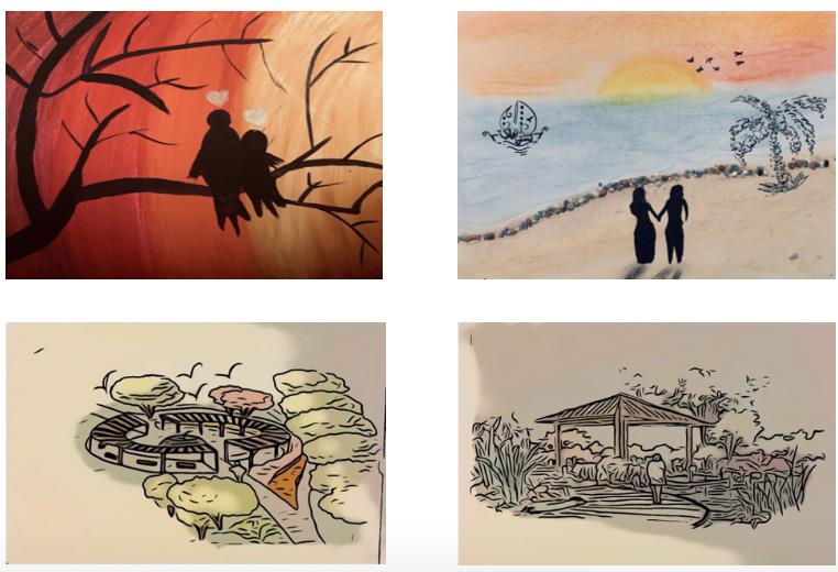
My name is Sama Alnuaimi and I have graduated with BS in Urban Design from the University of Washington, in Washington State. According to William H. Whyte “ It is difficult to design a space that will not attract people. What is remarkable is how often this has been accomplished.” Therefore, as an urban designer my goal is to make and enhance healthier communities by improving our environment and strengthen our community for a greener future to live more sustainably by using the world’s resources carefully. This portfolio shows the collection of my studio work at the University of Washington in the School of Urban Studies. Also, a collection of my personal projects relating to design. I hope it demonstrates my passion for urban design, as well as my proficiency in its representation and my interest in learning and have more of hands-on experience in the field.
Sama Alnuaimi Undergrad Portfolio• English
• Arabic
• Turkish
• Tacoma Community College, Tacoma, WA - Associate of Arts Degree (2017 - 2019)
• University of Washington, Tacoma, WA - BS Urban Design (2019-2022)
InDesign
Photoshop
AutoCad
QGIS
Lumion Skills
• Research Skills
• Visual Communication
• Technical Skills
• Organization & Creativity
• Teamwork
• Love Culture, Northgate Mall, Seattle WA. Sales Associate/ Cashier July 2017 - June 2018
• Tacoma Communtiy College, Tacoma WA Enrollment Services/Assistant Registrar April 2019 - June 2019
• School of Urban Studies - Debra Friedman Memorial Lecture in Housing Justice “Emergency Urbanism.”
• AECOM Student Design Workshop in Seattle, Washington.
• BCRA Student Design Workshop in Tacoma, Washington.
• School of Urban Studies Workshop, Tacoma WA.
• IIGE - Global Engagement and Innovation Conference. Subject: Climate & Environment. 2022
• Deans Lists: 2019-2022
Reimagining public space at the University of Washington Tacoma.
Location: Tacoma, Washington.
Academic Project: March - June 2020
North Delridge Neighborhood.
Location: West Seattle, Washington.
Academic Project: September - December 2021
Chambers Bay Regional Park - Central Meadow.
Location: Tacoma, Washington
Academic Project: March - June 2021
World Relief Seattle Community Garden Expansion.
Location: Kent, Washington
Academic Project: Urban Design Studio Capstone
January - June 2022
Sama Alnuaimi Undergrad Portfolio
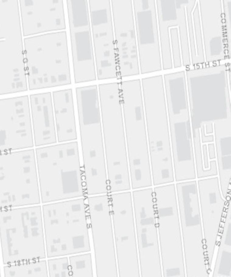
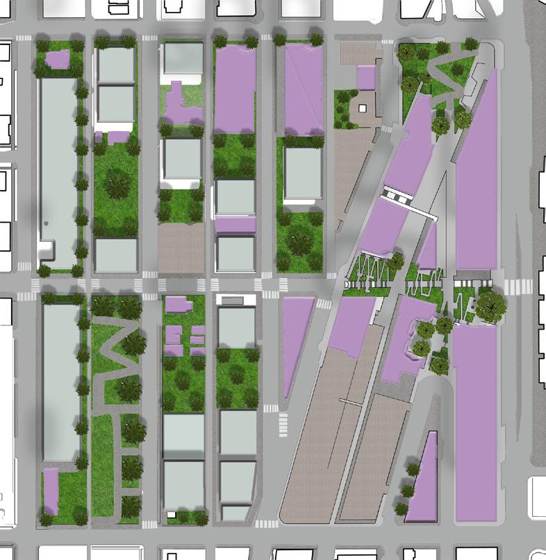
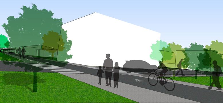
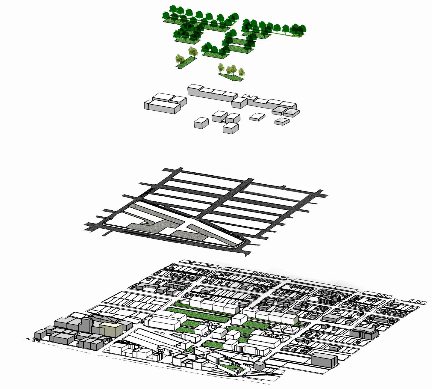
Developed an urban design proposal for the University of Washington Tacoma. The University of Washington Tacoma is an urban-serving university that is located in the downtown of Tacoma, Washington. The aim was to design the public spaces and circulation for the expansion of the UWT campus site; in a way that it will bring both the community and the environment closer together. The proposal will improve street and transportation networks. At the same time, the aim was also to bring back the unused lands and nature by proposing pathways, landmarks, and nodes. Therefore, my attempt in design is always to create something simple with minimum efforts and a huge impact.
Urban Form
Figure: Urban Design Framework.
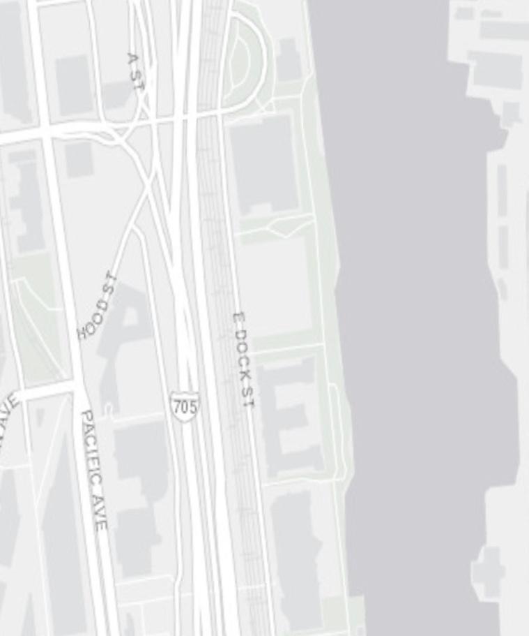
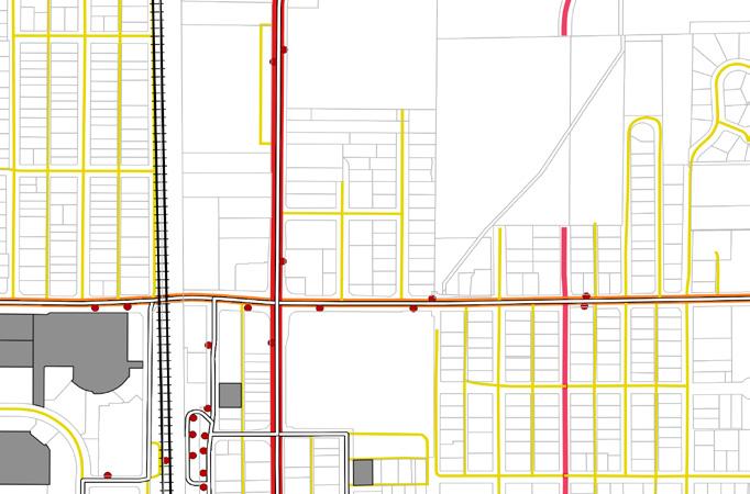
Figure: Public Transportation Analysis.

Legend Legend
Mixed Use Institutional Use Residential Use Commercial Use Green Spaces

Districts Paths Edges Active Edges Pedestrian Paths Node

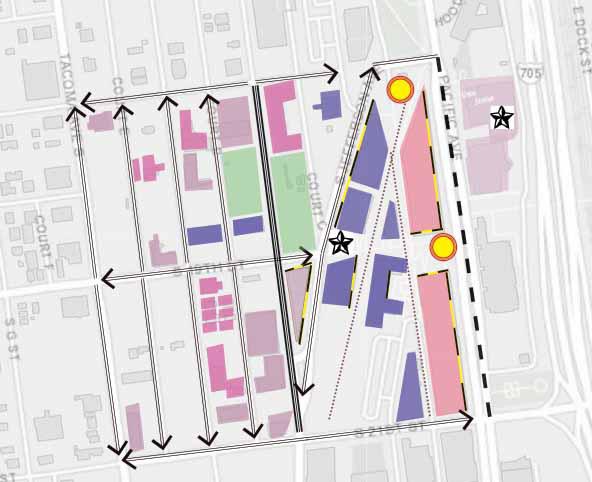
Landmarks
Proposed Green Space
Existing Green Space
Private Residential Use Commercial Use Institutional Use
Proposed Landmark Proposed Nodes



Main Road Secondary Road Alleyways
Pedestrian Paths
Link Rail
Active Edges


Proposed Gateway
Legend
High Traffic Routes
Low Traffic Routes
Pedestrian Paths
Structured Parking
Surface Parking
Sidewalks Bus Stops
Link Light Rail Bus Routes
Link Light Rail Stop
One Way Access Route Pedestrian Sheds to Bus Stops
Bikes Permitted



Chambers Bay Regional Park is a public golf course and it is a walking-only which is about 3.3 mile walk that is located in University Place, Washington. Chambers Bay Regional Park is one of the region’s most significant public open spaces, renowned for its natural beauty, walking trails, generous open space, iconic relics, and breathtaking views. In 2011, is where all the recreational opportunities were expanded to the 930-acre site due to the growth in popularity.
Opportunities for the existing site:
• A large green open lawn that could be utilize for more amenities.
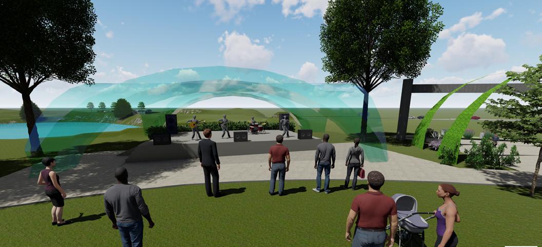
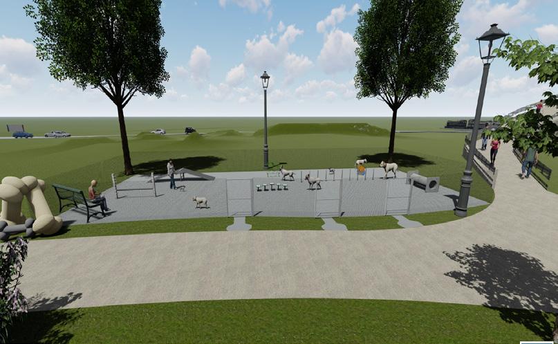
• Adding social activities as a playing area that could be used for all people of all ages.
• Seating that could be used differently.
• Expanding the overlook bridge.
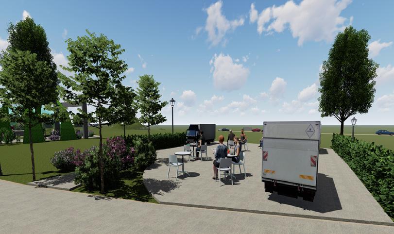
• Providing food trucks at affordable price.
Figure: Existing Site Diagram demonstrating key feature of Chambers Bay Central Meadow.
Source: Chambers Bay Regional Park Infastructure Study
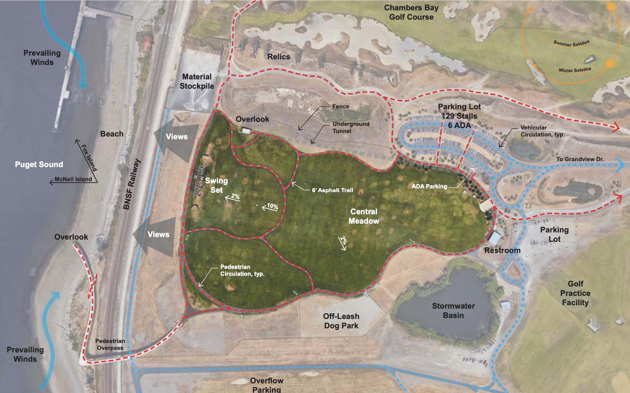
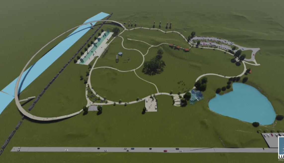
Figure:

Site Section
Proposed Picnic Shelters
Pathway Lighting
Dead End - Secondary Road
Existing Gateway Relocate Dog Park
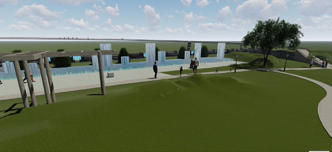
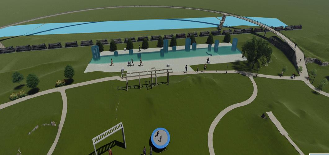
Proposed Dancing Water Fountain
Proposed Stage Area
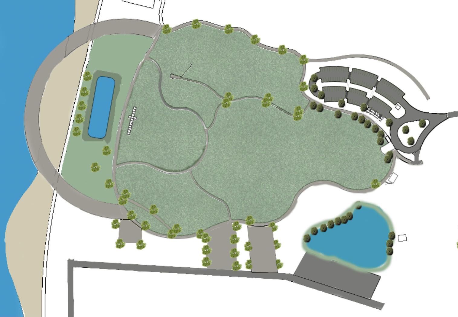

Proposed Pedestrian
Nodes

Existing Restroom
Food Truck Parking
Proposed
Pipe

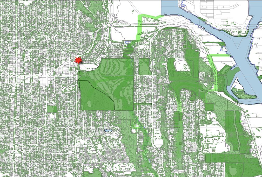
The future transit station will be located in South West Avalon Way in North Delridge neighborhood that is located in Seattle, Washington. It is right next to West Seattle where its local business and public parks are locat ed. Living in North Delridge neighborhood offers the residents to have a hub urban neighborhood feel and it is considered a nice walking neighborhood that is very close to parks as well as nature preserve. North Delridge has its own repuation of the Schools that are considered a highly rated.
The strategies to have a good neighbrohood that gives opportunities to build more affordable houses is to have a neighborhood that supports the connection between people and places, and make sure places serve people. The project site is located in West Seattle Golf Course that will take a part of the Golf Course in which it will be transform into an affordable housing project that will meet the needs of Single mothers with her children as well as eldery residents. The reason why I chose this site to build the affordable housing is because of its location as it is close to community services and schools. In addition, the advantage of having a close connection to West Seattle Golf Course and view of it.
The three objectives for this project are:
• The major stakeholders are Women, Children, and Elderly People.
• Affordable Housing
• Climate - Green Infastructure
The Future Station
Parcels
Green Spaces Water Bodies
Tree Canopy
Riparian Corridors
Flood Zones
20 - foot Countours


Parking Lots Bus Stops
Parking Lots Bus Stops
Parcels
On Street Trail
OneWay St Bus Routes
OneWay St Bus Routes
Light Rail
Paved Trail Collector Arterial Minor Arterial
Not Designated Principal Arterial

Legend
Proposed
Proposed Trees


Trees
Proposed
Spaces

Bridge
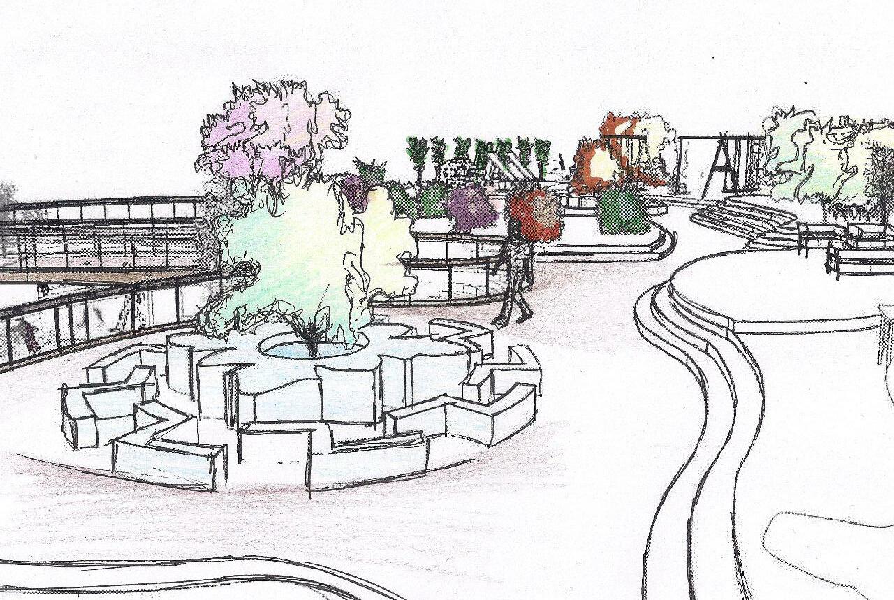
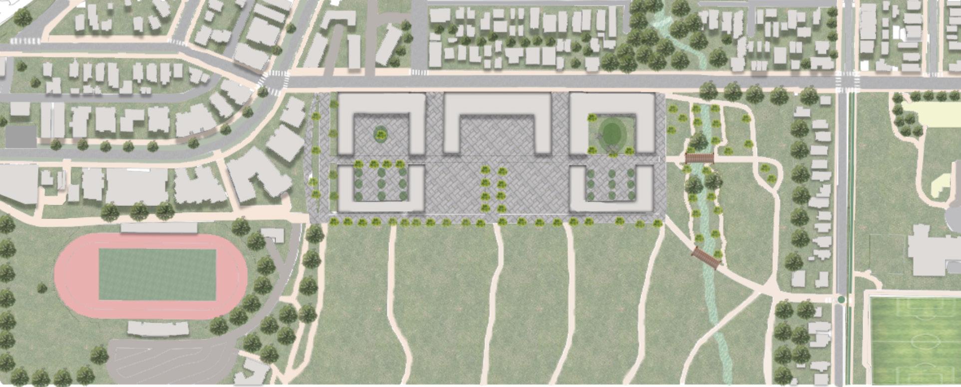
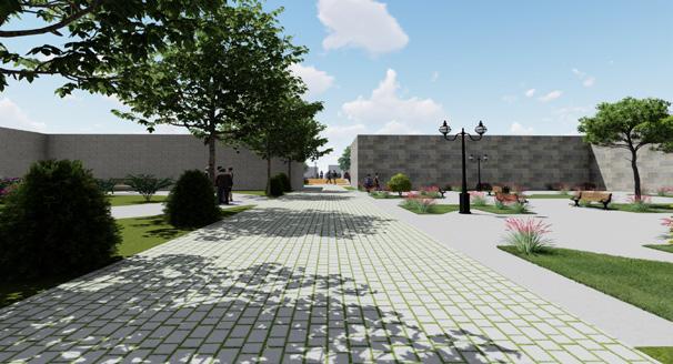
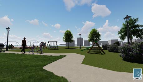
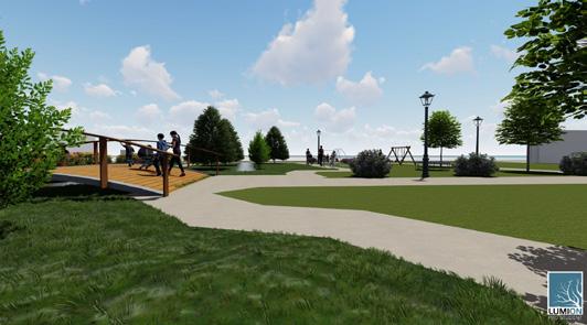
My proposed site plan, the development will encourage social interaction among people, it will be a great place for children to spend time and enjoy the feel of it. People who comes for the community services can sit and enjoy outside whether to read a book or do other things. I proposed a bridge for people to be able to get to the other side of the riparian corridor,I also proposed additional paths within the riparian corridor to activate the space around and will have a playground area for children. The stakeholders will be able to benefit form the existing green open spaces and different sport activities such as West Seattle Stadium, West Seattle Golf Course, and Football fields.
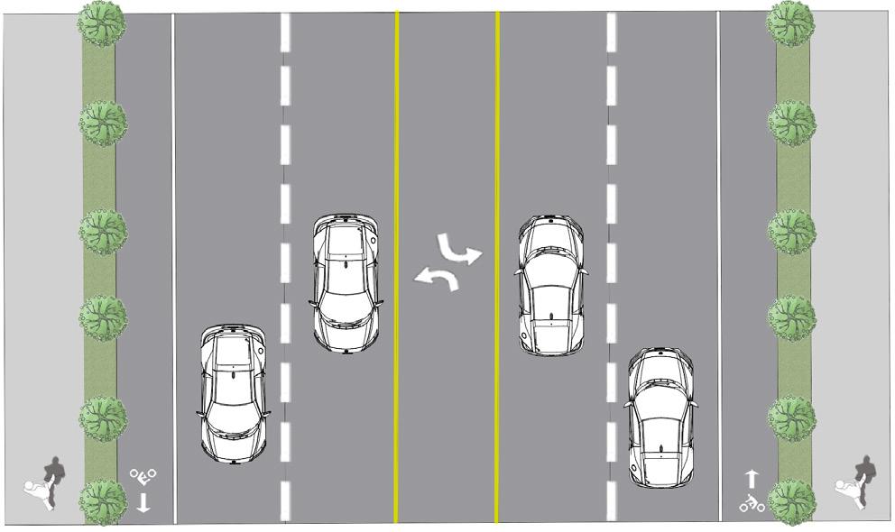
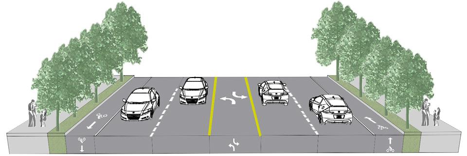
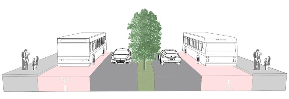
Figure: Proposed 26th Street Section

line
North. The existing 26th Street has a
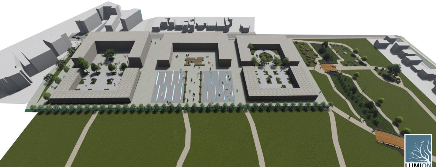
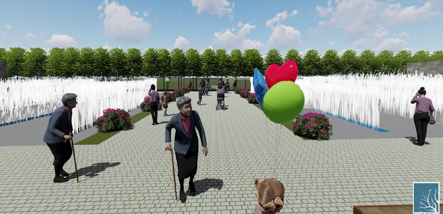
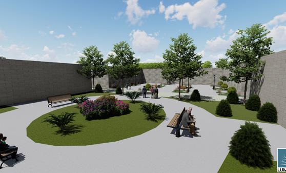
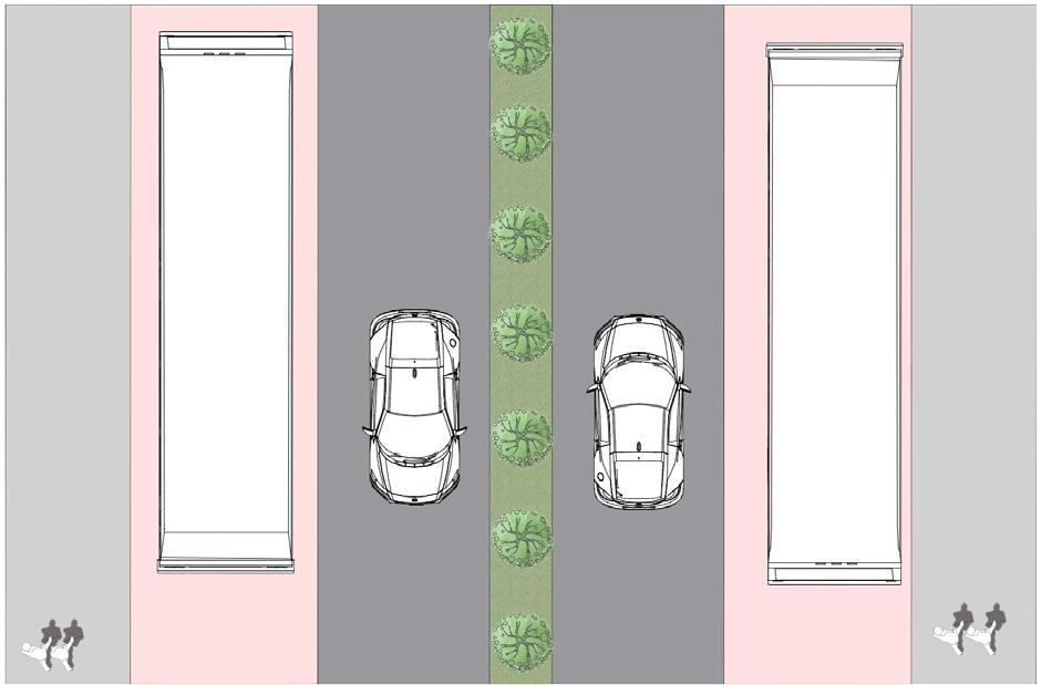
My proposed space activation development focuses on how the space between the apartment buildings and the duplexes can be used for community and the resident of the buildings. The space will offer a big seating area, chairs and tables, concrete benches will be provided for people to either eat, read books from proposed services, for instance, library and enjoy their time. Children can be able to play with water and walk between the fountain.
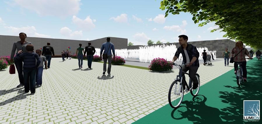
Riparian Corrdior Activiation will give a nice space that would attract the community to spend their time at the site that offers different ac tivities with their children and elderly people. Activating the riparian corridor will be a response for the climate purposes as well as to give the children opportunity to enjoy the space even more. The proposed two floor building will encourage the residents to sit and enjoy both the semi private yards as will as the view of the public floor fountain that locates next to it.
East indicate both semi-pri vate yards view.

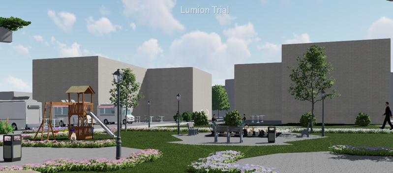
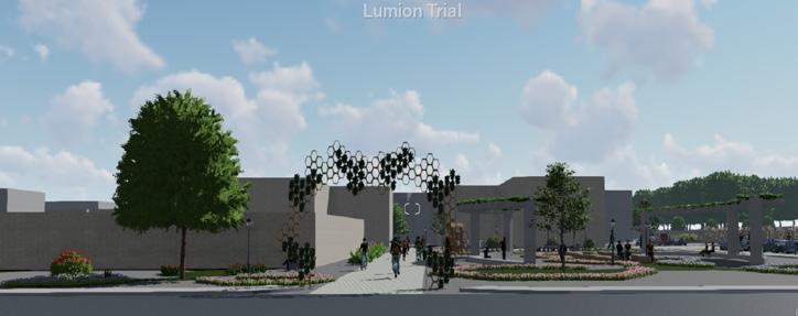
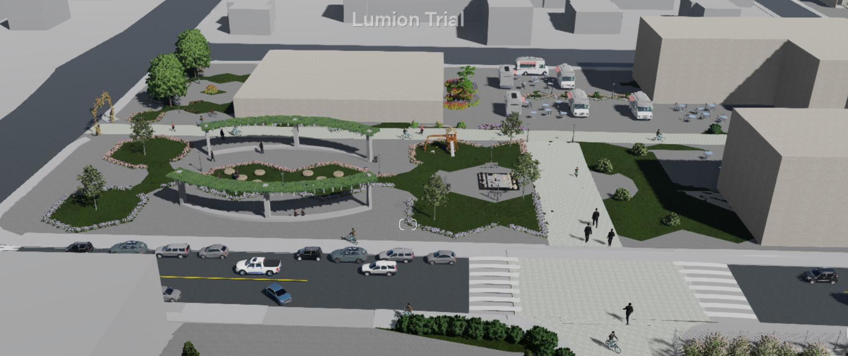
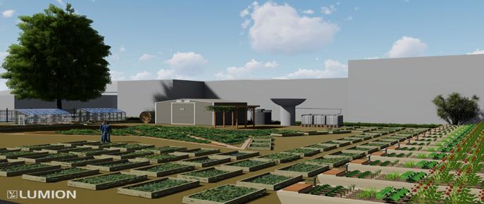
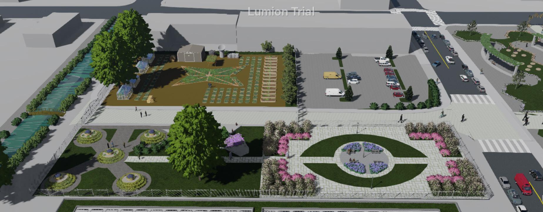
The goal of the undergraduate Urban Design Capstone project is to find suitable sites for expanding World Relief Seattle (WRS) community garden that explains and transforms the King County Strategic Climate Action Plan (SCAP) goals. WRS is considered as a global humanitarian organization that finds sustainable solutions that solve climate change crisis. In addition, it brings community from different backgrounds together by improving access to quality services that meets their needs. The new location of the WRS community garden will offer sustainable urban farming, provide local food, and serve as a social and entrepreneurial hub for the immigrants.
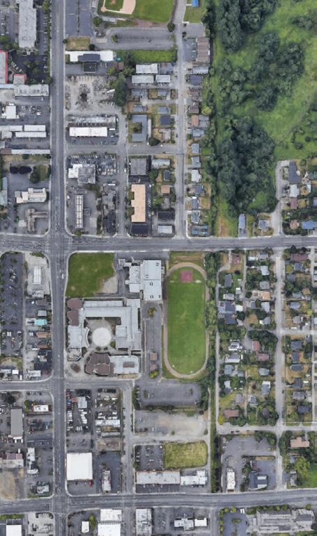
The project site is located in City of Kent and its currently vacant and located in a mixed-use zone. It is about twelve minutes drive from the Green River, WA. Kent is a city in King County, Washington. It is considered as part of Seattle-Tacoma-Bellevue metropolitan area. City of Kent aims to protect its residents as well as businesses from climate change crisis, preserving the city’s open spaces, restoring natural habitats and promoting an equitable and healthy economy along the Green River. The aim of the project is to provide urban design interventions that aligns with King County Strategic Climate Action Plan and/or World Relief Seattle goals.

This


Total Reduced to 275 Potential Sites.

Selected Site Size: 1.7 acre
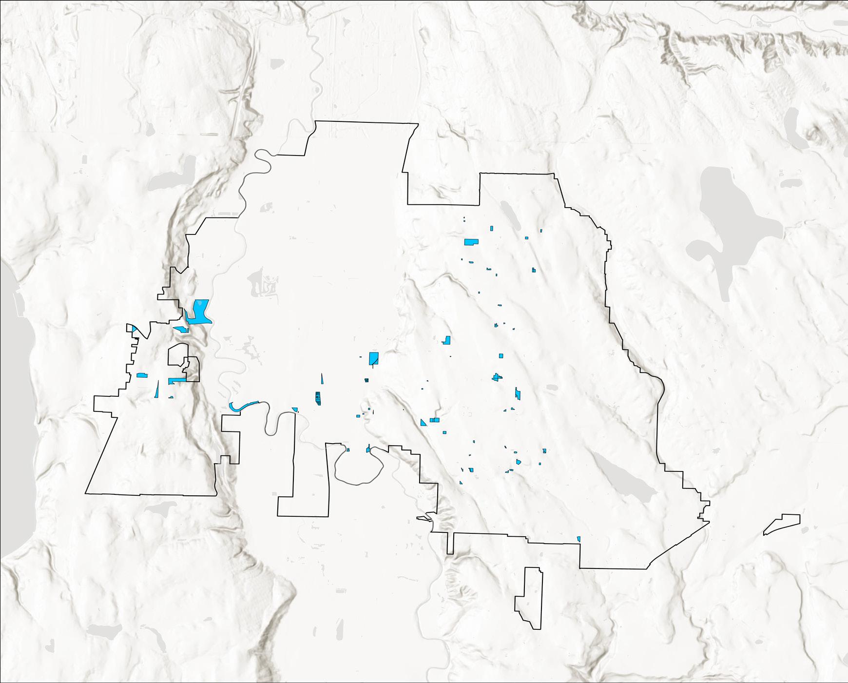
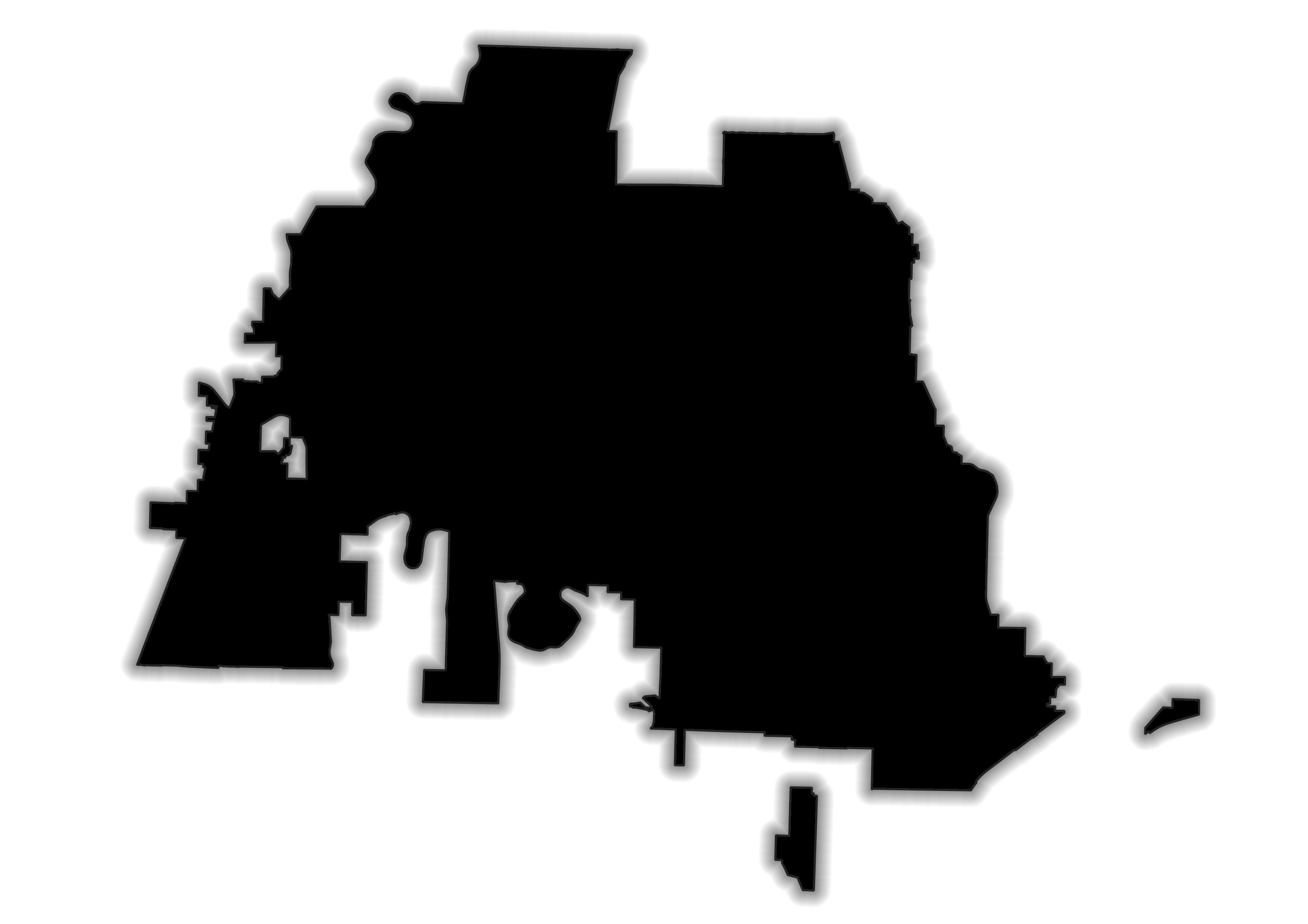
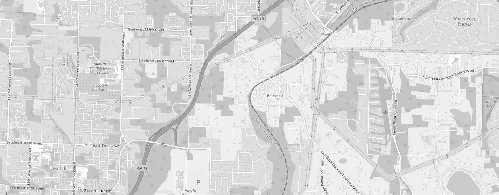
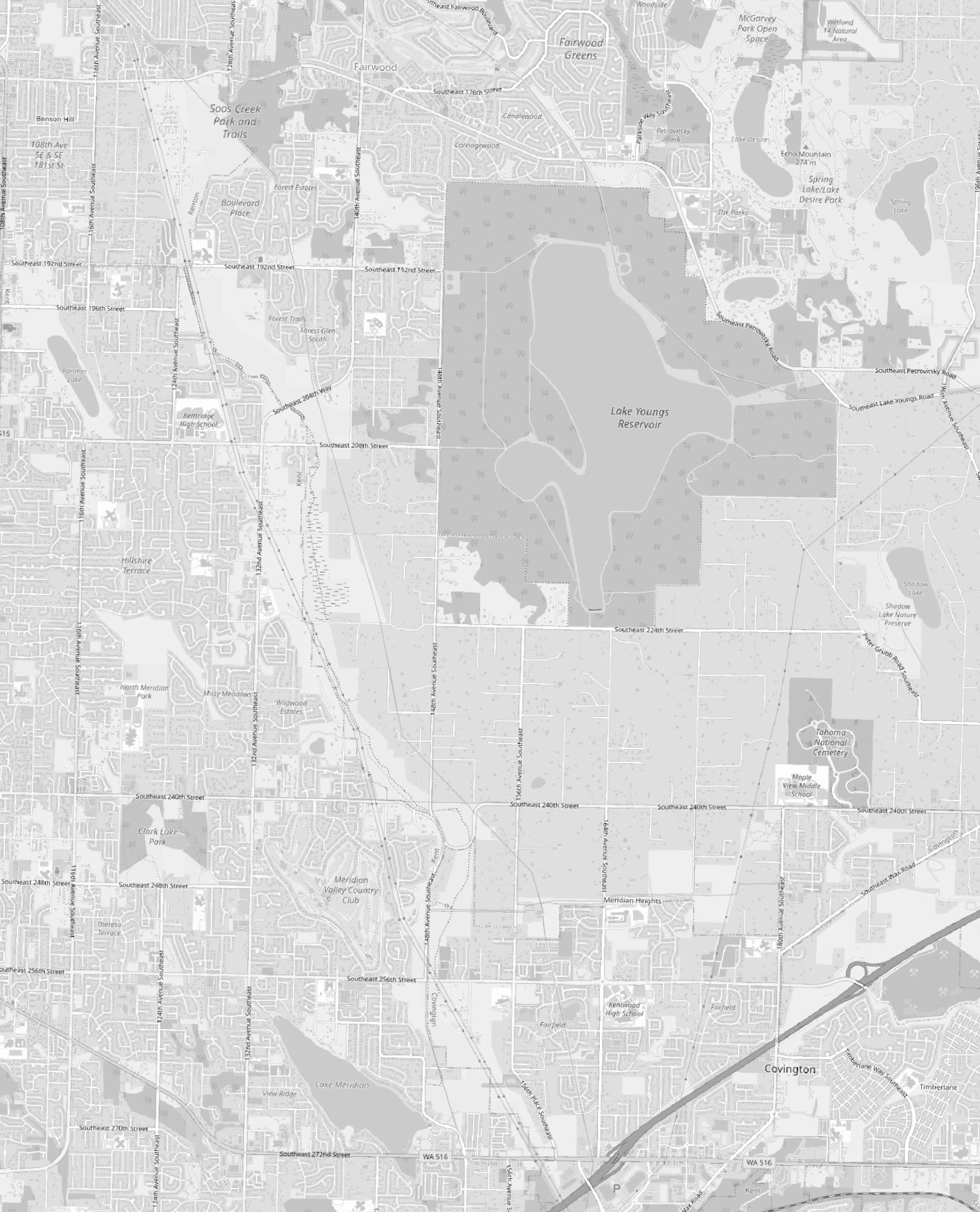
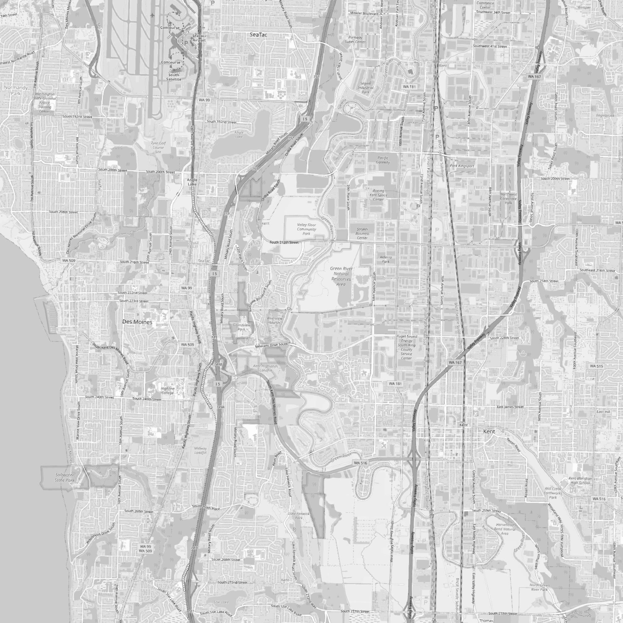
As a class, we used two study methods to find the potential sites to expand World Relief Community Garden. WRS required that the potential site is city-owned, on level ground, with easy access to water as well as public transportation, and most importantly close to affordable multi-family housing. The first method was to study the regional climate vul nerability by using QGIS and gathering different public data from the King County GIS Data Hub. The second method was conducting a feasibility study to find potential sites for the community garden placement; the study consisted of multiple steps. This map shows the feasibility study results. In addition, this map indicates the selected site to create an urban design proposal for the WRS community garden.
Sama Alnuaimi
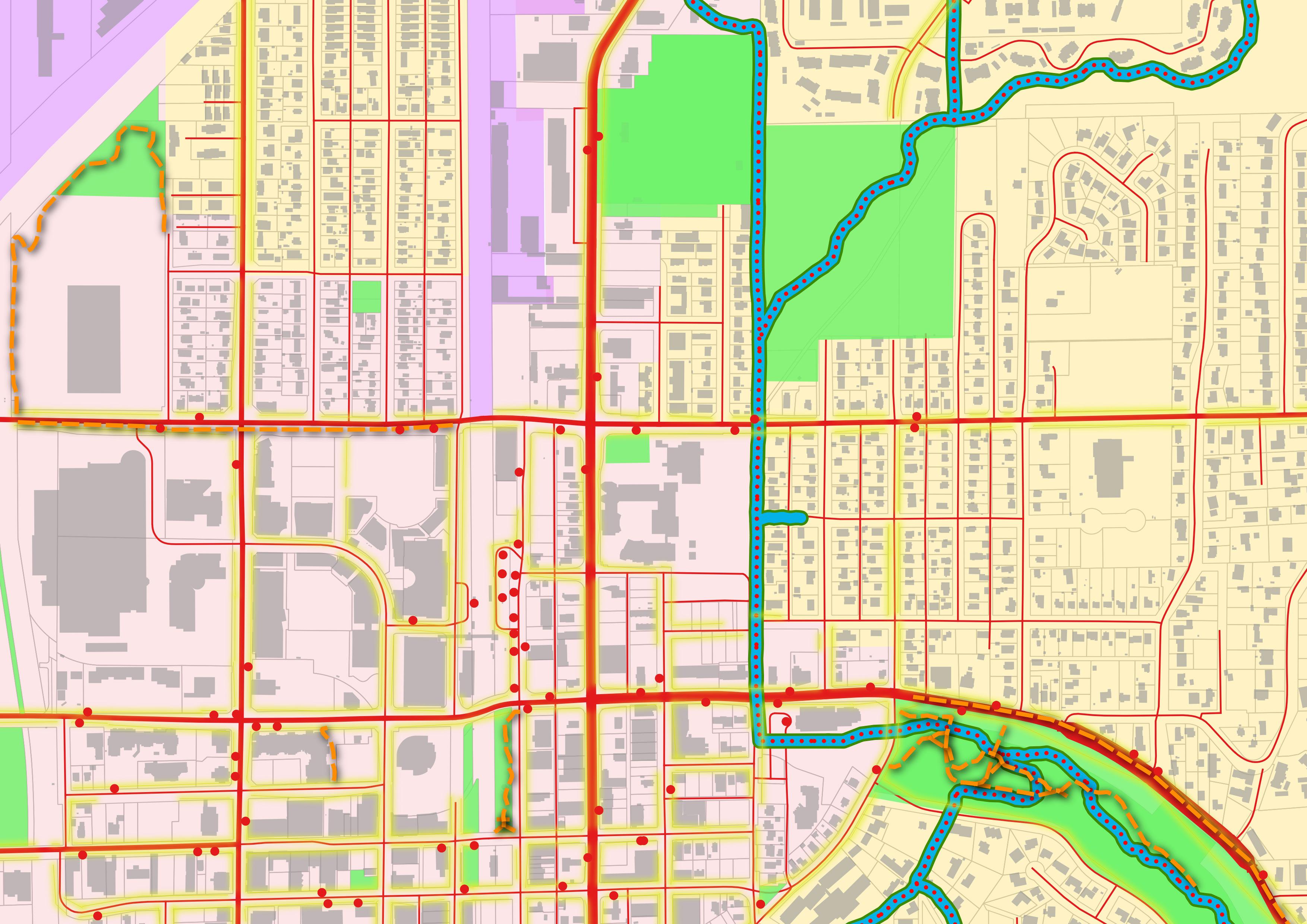
Mixed Industrial Mixed Use
Institutional Use
Residential Use Creek/Coho


Vehicular Paths

Pedestrian Paths
Bike Lanes
Bus Stops
Kent Station
Existing Node


Existing Gateway
Flood Zone
Existing Parking Lots
Flood Zone
Institutional Use
Proposed Green Space
Proposed Commercial/Retail Hub
Existing Commercial Use
Proposed Housing Development
Proposed Pedestrian Bridge
Living Streets
Green Connections
Proposed Bike Lanes

Proposed Active Edges
Existing Active Edges
Proposed Pedestrian Paths
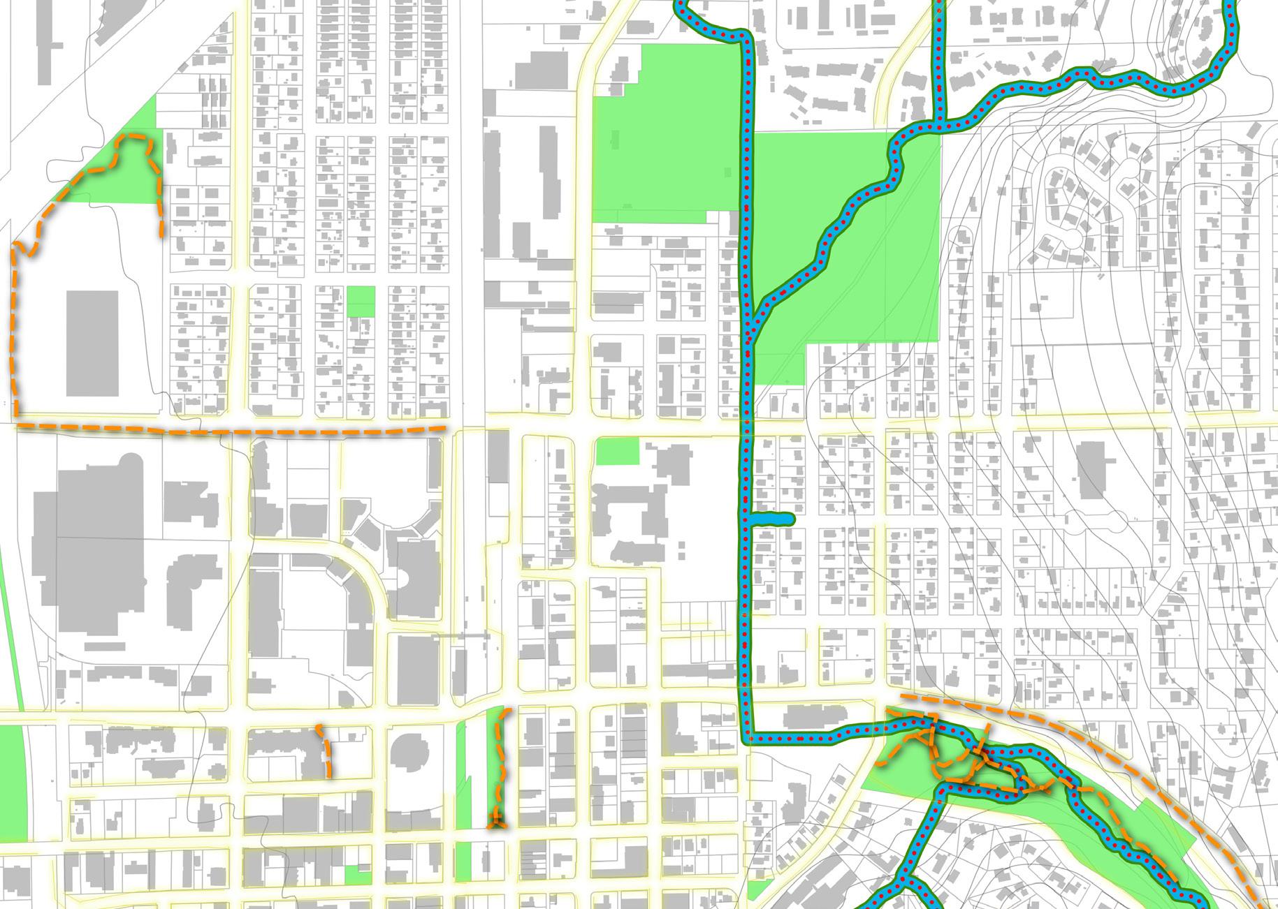
Existing Nodes
Proposed Nodes
Proposed Gateway
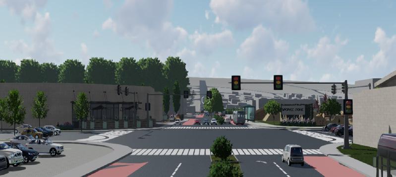
Since the project site is located in a area at high risk of flooding; my goal is to implement a design strategy to combat flooding and create a flood resilient-environment, in other words, a (sponge zone) that aligns with King County Climate Action Plan goals. This will be done through transforming the existing impervious surfaces such as parking lot to a mixed use development and green spaces.
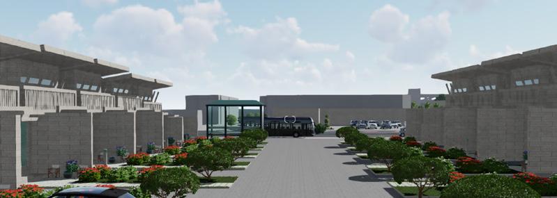
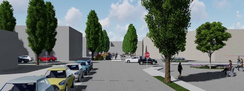
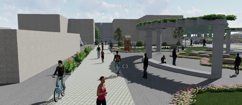
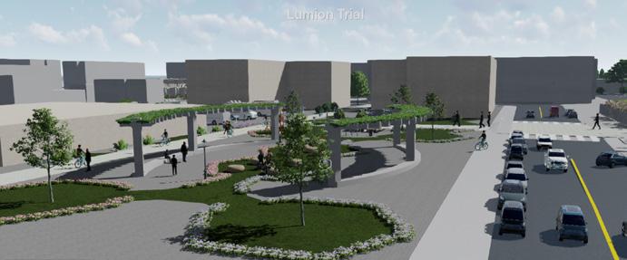
Therefore, the project design proposal will create a better place for all people regardless their immigration status by providing an easy access to local food, promote its social connection, foster economic opportunities, and encourage people to walk and cycle by proposing protected bike lanes and living streets to cut carbon emissions and help improve the air quality in the urban areas. Preserving the existing trees and planting more trees to increase climate resilience. In addition, there will be two proposed gateways in the site that will create a sense of arrival for people travelling to the project area.
WRS Commynity Garden Kent Station James St P 5MinsWalk Central Ave N E Smith St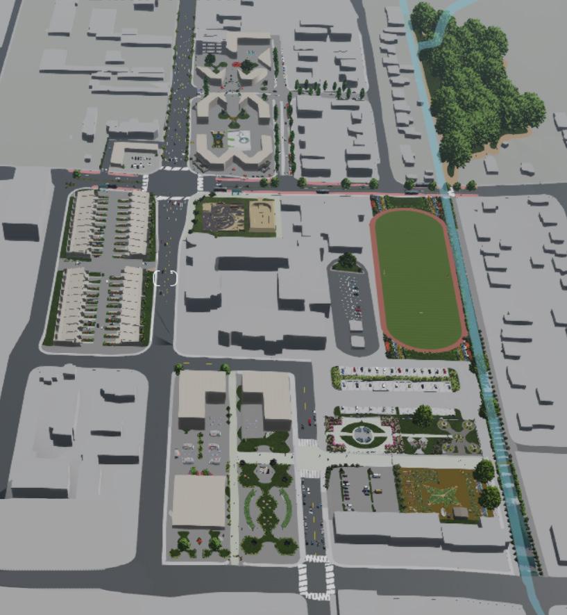
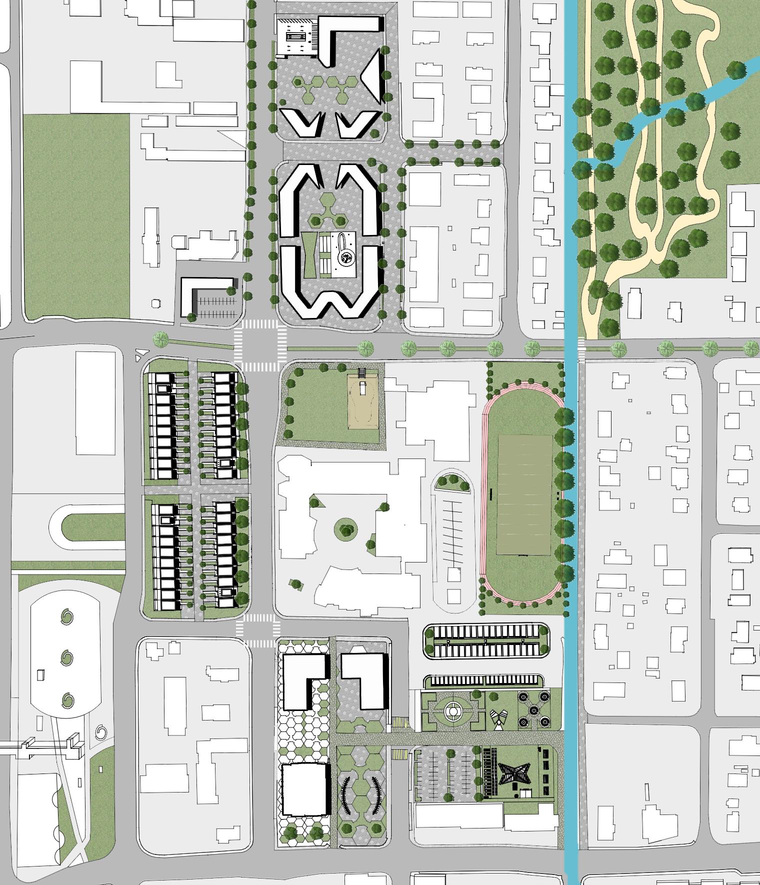 School
Housing Development
Commercial Development
Live-Work Development
Indoor Farmers Market
WRS Community Garden
Skatepark
Walking Trail Rain Gardens




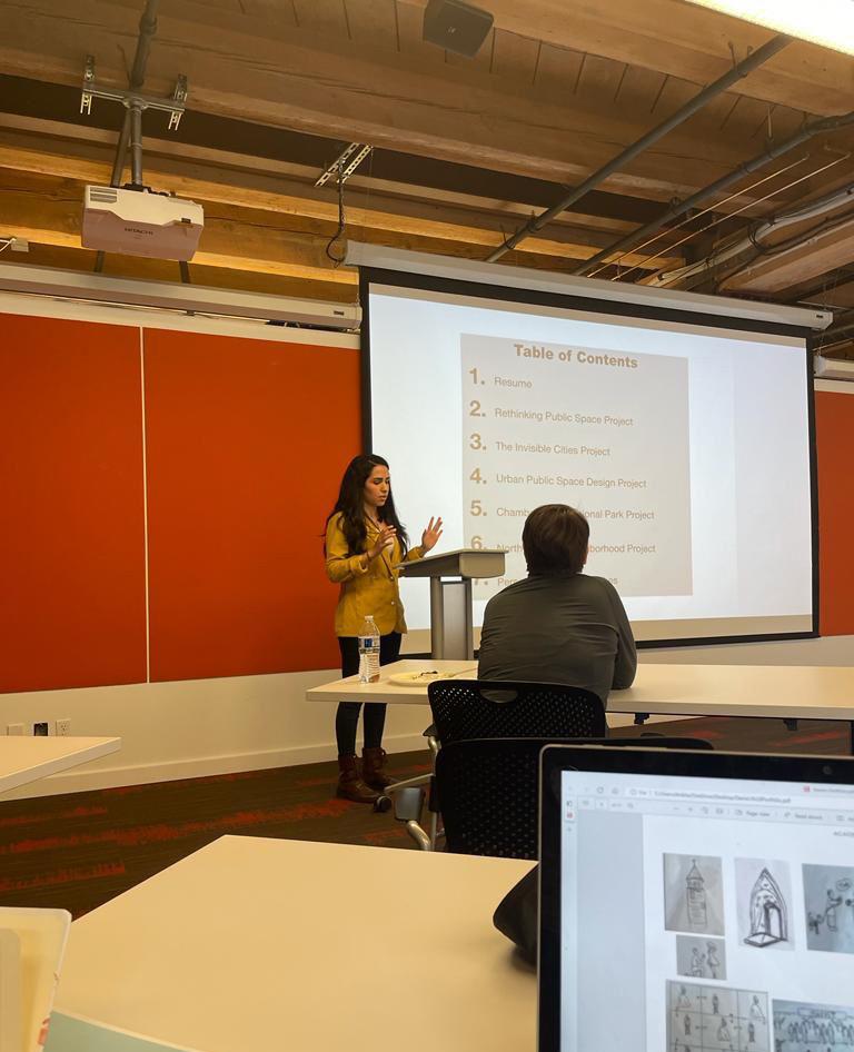
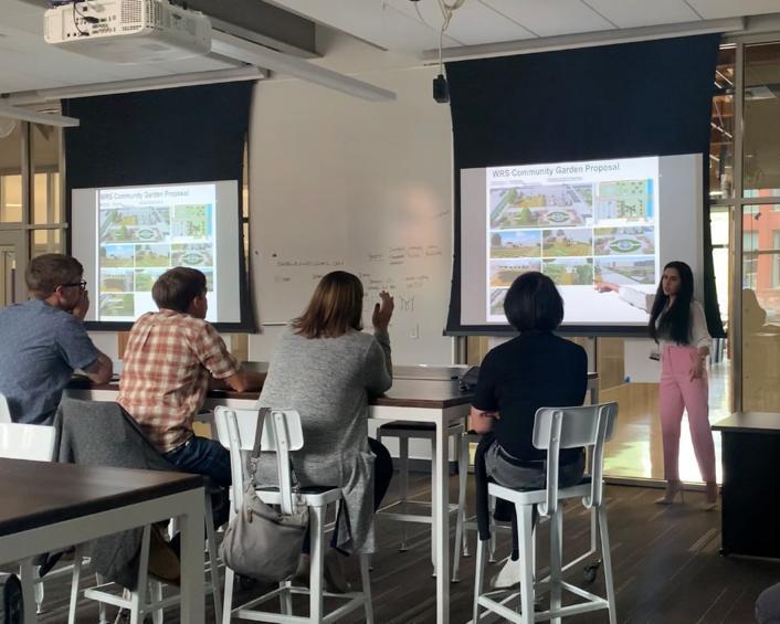
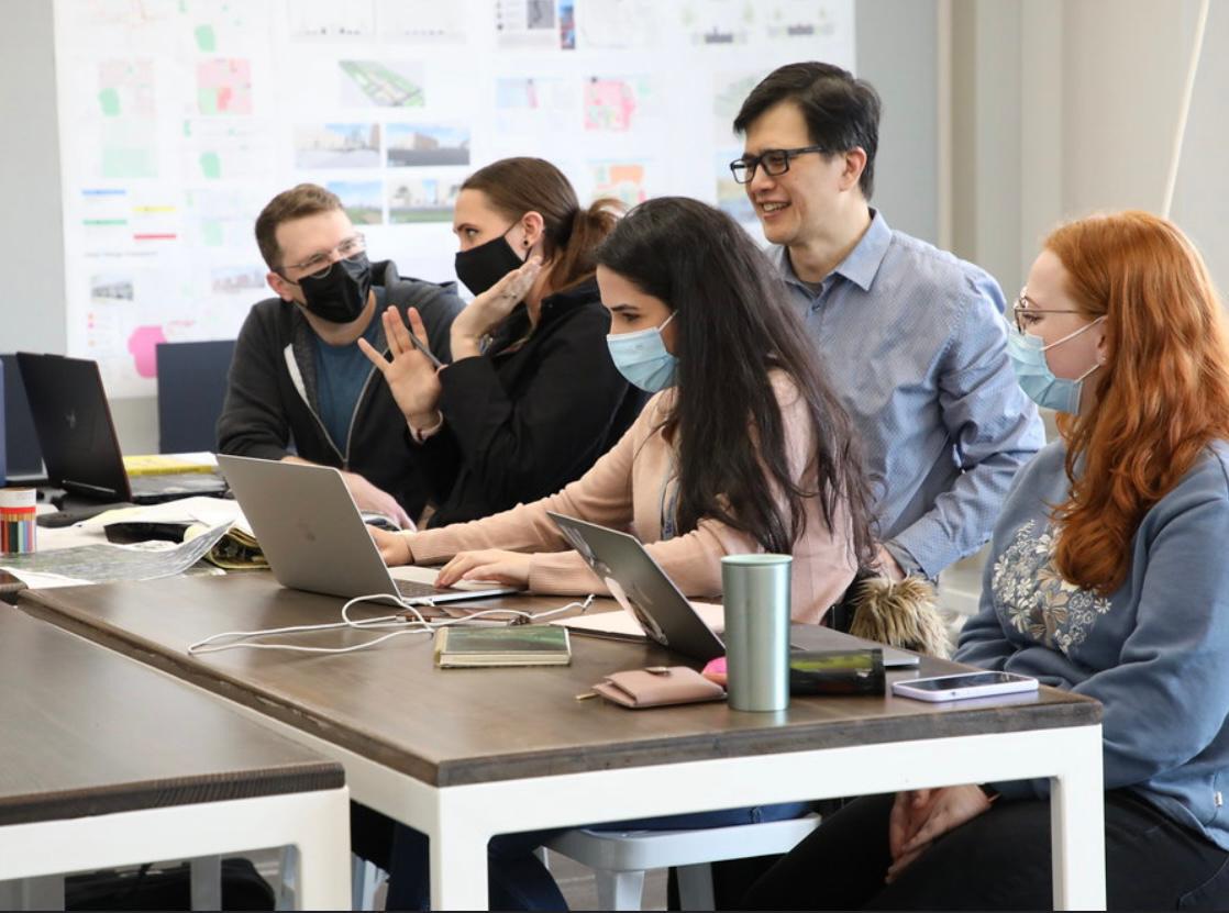
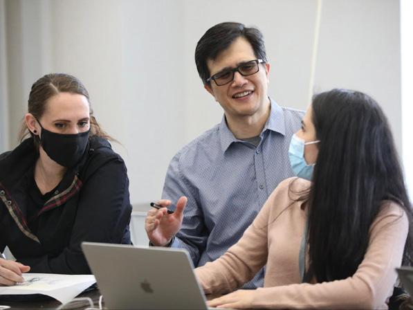
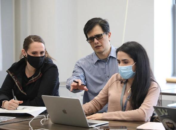
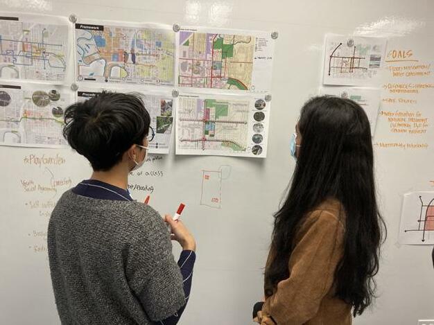
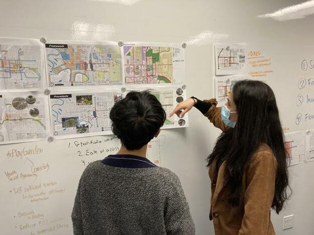
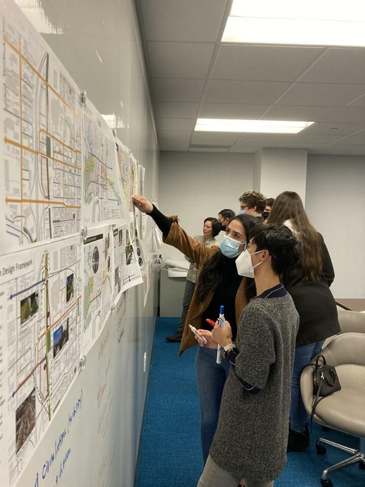 Workshop at AECOM firm, Seattle WA Review Day. Juries from the City of Kent, WA. Workshop at the Univeristy of Washington, WA. Workshop at BCRA firm, Tacoma WA
