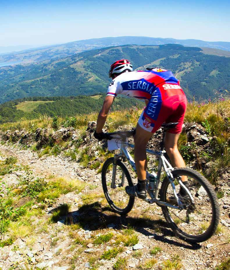
HIKING AND CYCLING
ACTIVE HOLIDAY IN SERBIA


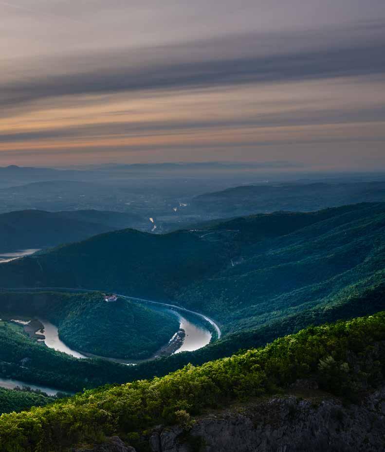
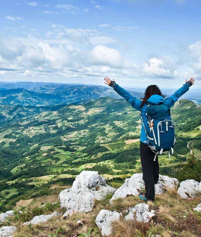
Indulge in communion with nature and explore new landscapes. Move away from the tiny screen and let your eyes wander along the wide horizon, feasting upon the play of light as it scatters across the landscape. Treat yourself to fresh experiences and new challenges.
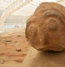
Follow your inner rhythm and take in as much of the nature and culture as you can, wondering in amazement how much of Serbia you have yet to explore. Relax, take your time, as you gaze into the blues and golds of the mediaeval frescoes. Faced the mysterious, fish-like statues of Lepenski Vir. Marvel at the rich, layered history of Serbia.
Meet the people. Spontaneous encounters on travels are the best way to experience life and traditional hospitality is equally fulfilling whether you are on the receiving or the giving end. Welcome!
Situated where vast plains meet forest-covered mountains, Serbia beckons you to discover it: from the wild wetland forests along the Danube to the mild plains as wide as the sea, from the breath-taking canyons to the mineral spas and springs, from gentle hills to wind-beaten peaks, from hectic urban cen tres to the tranquility of remote mountain villages.
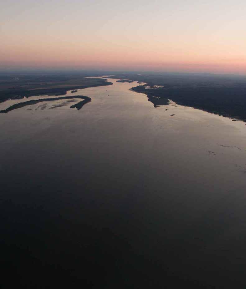
Ovčar Kablar gorgeThis international cycle route connects the Atlantic and the Black Sea and passes through Serbia along the Danube. At the border between Hungary, Croatia and Serbia, the wide Danube branches into a seemingly endless network of distributaries and canals. The flooded wetland forests of the Bačko Podunavlje Biosphere Reserve, officially designated as a UNESCO Biosphere Reserve, are home to a rich animal and plant life awaiting to be explored. The route continues through the vast Pannonian fields, along the left bank of the Danube, past the undulating vi
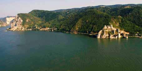
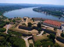
neyards of Fruška Gora, to Novi Sad, designated as the European Capital of Culture in 2021. From one urban area, the route then leads to another – Belgrade, Serbia’s bustling capital. The last stretch of the route combines nature and history to make an in delible impression: as you pass through the National Park at the Iron Gates Gorge, the largest and longest gorge in Europe, you may see the local landmarks – the Lepenski Vir Museum, Trajan’s tablet and the Golubac Fortress.
Route: Bački breg-Apatin-Bačka PalankaNovi Sad-Belgrade-Veliko Gradište-Donji Milanovac-Negotin
Length: 665 km, with detours 1040 km
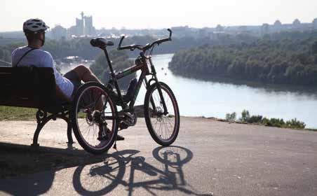
Trail difficulty: moderate Trail regulation: signposted Trail surface: dirt road, asphalt, macadam No technically demanding sections.
Note: Some sections of the route are public roads, caution is advised.
Attractions: Riding along this route is the best way to explore the natural diversity of Serbia: the Bačko Podunavlje Biosphere Reserve, the Fruška Gora and Đerdap National Parks. You will ride through the urban centres of Novi Sad and Belgrade and learn about history by visiting Lepenski Vir or some of the fortresses overlooking the Danube.
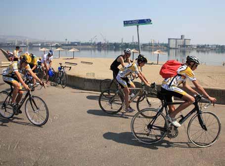
Eurovelo 13 is an international cycling route passing along the imaginary boundary between former socialist countries and Western Europe. Compared with other countries “behind the Iron Curtain”, Serbia, then part of Yugoslavia, was in a unique positi on. As it passes through Serbia, the Eurovelo 13 route traverses different landscapes: from the Pannonian plans, through hilly regions and the breath-taking Iron Gates Gorge, with its many
stunning viewpoints, to the captivating mountains. This route links the country’s multicultural Pannonian north, the cities of Subotica and Kikinda – with their fascinating architecture and major festivals of theatre, the long-eared owl and earthenware – with the mysterious Eastern Serbia – the picturesque town of Knjaževac and the fiery Niš, the bustling and hospitable urban centre of the South.
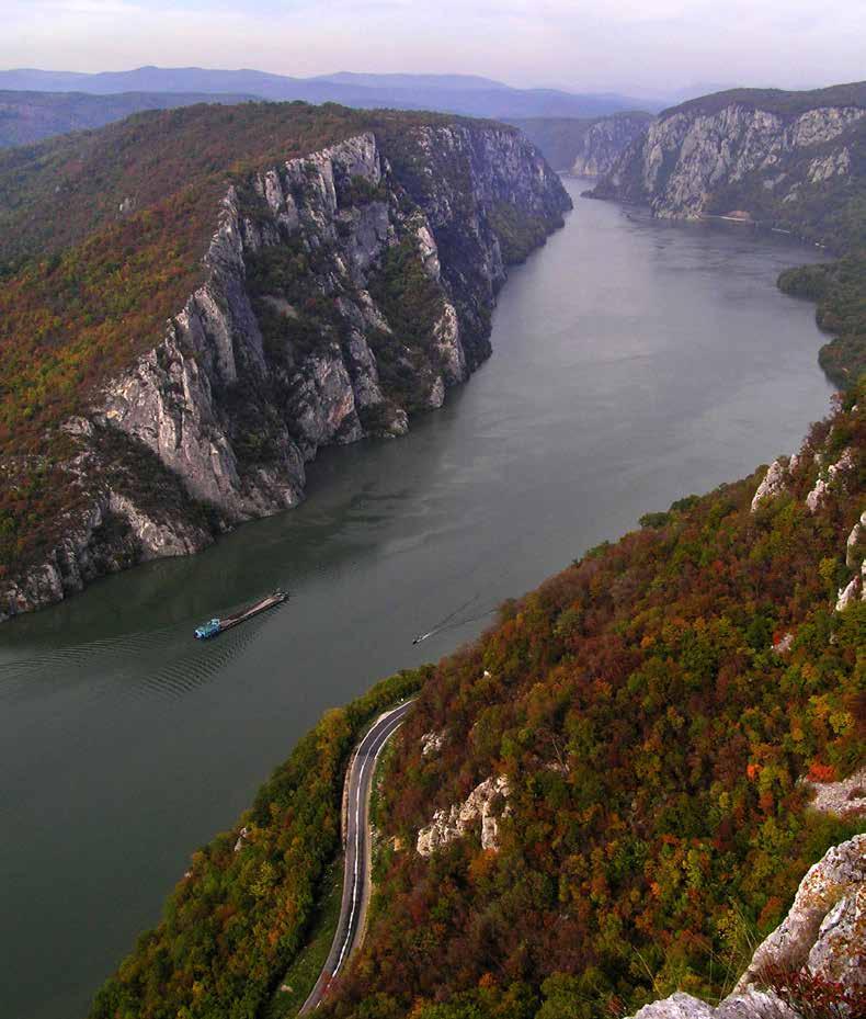 National Park »Djerdap«

Route: Kikinda-Vršac-Bela Crkva-KladovoKnjaževac-Dimitrovgrad
Length: 700 km
Trail difficulty: moderate
Trail regulation: signposted
Trail surface: dirt roads and asphalt

No technically demanding sections
Note: Some sections of the route are public roads, caution is advised.
You will meet parts of Serbia that are slightly off the beaten track, but no less enticing in their warm hospitality you will experience and enjoy. Subotica – the city of secession, Kikinda – the city of pottery and owls, Bela Crkva with its lakes, the Iron Gates Gorge with the Golubac Fortress and the prehistoric archaeological site Lepenski Vir, the Stara Planina mountain with its Midžor peak, the highest in Serbia, and the towns of Knjaževac and Pirot
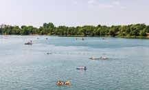
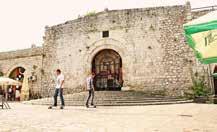
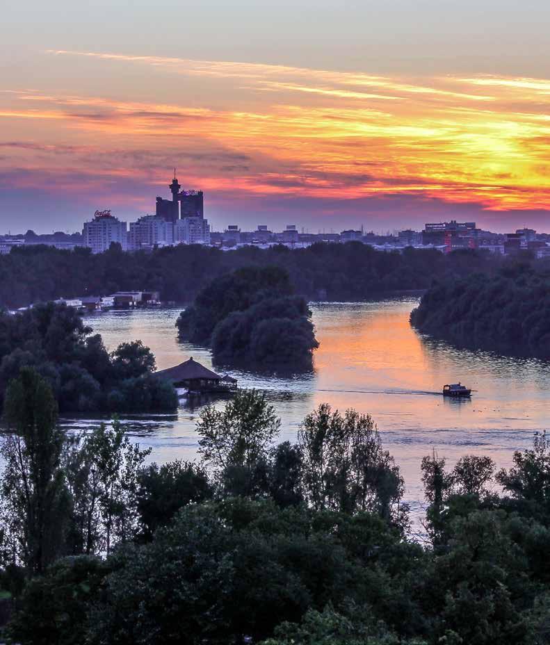
Few cities in the world have witnessed the long passage of the millennia the way Belgrade has: from the prehistoric Vinča cultu re to the Celtic Singidunum, from a border fortress of the Roman Empire to a Byzantine and then Hungarian city, from the Serbian mediaeval capital to a busy market town in the Ottoman Empire, from revolts and liberation to the great battles of modern times – Belgrade is all those things! Nestled at the confluence of the Sava and the Danube rivers, straddling the border between the East and the West, the Serbian capital is rich in historic layers, each hiding a myriad of incredible stories. Modern Belgrade en tices visitors with a wealth of amenities: the mouth-watering
gastronomic offering of traditional and modern restaurants, the colourful outdoor green markets, the exciting night life, top film and music festivals and numerous opportunities for sports and recreation. When in Belgrade, be sure to visit its landmarks: the Belgrade Fortress, the Church of Saint Sava, the Museum of Modern Art, the Nikola Tesla Museum, the Royal Compound...
Tourism Organisation of Belgrade www.tob.co.rs
Tourism Organisation of Aranđelovac www.bukovickabanja.rs
Length: 5 km
Estimated time to complete: 1 h
Trail difficulty: easy
Trail regulation: partially signposted
Total climb: -
Total descent: 120 m
Start elevation: 200 m.a.s.l.
End elevation: 80 m.a.s.l.
Trail surface: dirt road, asphalt
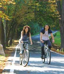
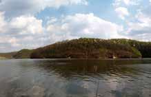
This route will take you through one of Belgrade’s most beautiful parks, the former royal hunting grounds in Košutnjak, to some of the city spectacular viewpoints, looking onto Mt. Avala on the one side or New Belgrade across the Ada Ciganlija river island on the other.
4
Length: 6,5 km
Estimated time to complete: 2.5 h
Trail difficulty: easy
Trail regulation: signposted
Total climb: 300 m
Start elevation: 240 m.a.s.l.
End elevation: 260 m.a.s.l.
Trail surface: dirt road, asphalt
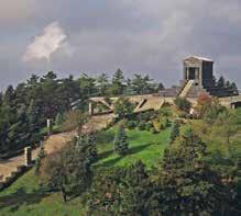
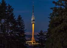
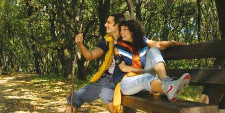
A walk along Avala’s paths will take you through beautiful forests, past the Monument to the Unknown Hero, honouring the soldiers fallen in World War I, to the Avala Tower, with an observation deck offering a splendid view of all four corners of Serbia. Two mountain huts on the Avala offer refreshments to help you tackle the rest of the hike.
Length: 4 km
Estimated time to complete: 1 h
Trail type: round trip
Trail difficulty: moderate
Trail regulation: signposted
Total climb: 500 m
Start elevation: 270 m.a.s.l.
End elevation: 696 m.a.s.l.
Trail surface: dirt road, asphalt
The route begins at the urban heart of Aranđelovac, near the water park, and takes you past the national Museum and the church, then past the villas which mark the starting point of the hiking trail climbing up to the peak of Mt. Bukulja and its 19-metre high observation point, with a magnificent view of the central Serbian region of Šumadija. If you like, you can take the western footpath and descend to the Garaš lake.

Srem, Banat and Bačka – the “three brave hearts” as they are known thanks to a traditional patriotic song, are the geographic regions that make up Vojvodina. Adorning the north of Bačka is Subotica, surrounded by fertile chernozem and sandstone, suita ble for growing fruits and vine. This city is a melting pot of different cultures with a rich cultural heritage. Subotica is also recognisable for its Secession architecture. In Srem, overlooking the Danube and the Tisa, gazing into the wide horizon for thousands of ye ars, lies Slankamen. It owes its name to the local mineral spring. Marking the farthest eastern point of Banat is Vojvodina’s highest
elevation, the Gudurica peak, looming above the city of Vršac. You can even take off and fly from the slopes of the Vršac Mountains, as there is a paragliding strip. No matter how far and how long you look across the fields, the vineyards and the forests, you can never take in all of the plains. For, nothing about these plains is “plain”: they are rich in colours and nuances, which are best reflected in the flavours of the fine wines and delicious dishes.
Tourism Organisation of Vojvodina www.vojvodinaonline.com

Length: 29 km
Estimated time to complete: 7h
Trail difficulty: easy
Trail regulation: signposted
Total climb: 25 m
Total descent: 25 m
Start elevation: 110 m.a.s.l.
End elevation: 130 m.a.s.l.
Surface type: dirt roads and meadow paths
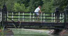
A walk through this area will take you thro ugh a museum of sorts displaying sandsto ne vegetation, bearing witness to the rich vegetation cover of the Pannonian Basin.
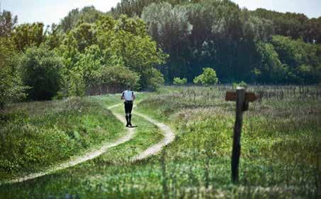
One of nature’s rarities is a local subspecies of the spring meadow saffron known as “šafranjika”, found only here in all of Serbia. The Subotica Sands are also among the prime birdwatching spots in Serbia.
Length: 8 km
Estimated time to complete: 2h
Trail difficulty: easy
Trail regulation: signposted
Total climb: 200 m
Total descent: 140 m
Start elevation: 70 m.a.s.l.
End elevation: 100 m.a.s.l.
Trail surface: dirt road, macadam
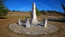
The trails around Stari Slankamen are di vided in 2 lesser parts. They offer stunning views of the Danube and give you an opportunity to visit the remains of the Roman fortress of Acuminicum and the monument to the Battle of Slankamen, all of them surrounded by orchards and vineyards. You can also visit one of the local wineries along the way.
Length: 8 km
Estimated time to complete: 6 h
Trail difficulty: demanding
Trail regulation: signposted
Total climb: 815 m
Total descent: 415 m
Start elevation: 280 m.a.s.l.
End elevation: 641 m.a.s.l.
Trail surface: dirt road
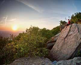
The Vršac Mountains, once an island in the Pannonian sea, rise above the city of Vršac. The climb to highest peak of this mountain range will take you through deciduous and coniferous forests, past viewpoints looking onto the vineyards, to the peak with a clear view across the plains, all the way to Mt. Fruška Gora.
The deep silence of the woods, the rich silence of the monaste ries, the silent fermentation of wine. You can hear all this and more on the Fruška Gora Mountain. This forest-covered island in the middle of Vojvodina, perched above the Danube, is where the serene tranquillity of nature and reclusive monastic life meets the fertileness and deliciousness of vineyards and orchards. Oak, hornbeam and linden forests are interspersed with gentle paths that open onto unexpected viewpoints, looking into the elusive horizon of the plainlands and the infinity beyond. More than 700 species of herbs are native to this mountain, renowned for the quality of its honey. Between the 15th and the 18th Centuries, as many as 16 Serbian Orthodox monasteries were built on the slo
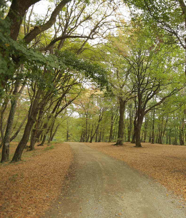
pes of Mt. Fruška Gora, becoming important centres of spiritual life and education. There are many supreme wineries in this regi on, best known for their Bermet and Ausbruch dessert wines, a perfect match with various Gugelhupf cakes. Near the reclusive tranquillity of this National Park, there are several thriving urban areas – Novi Sad, Sremski Karlovci and Sremska Mitrovica – with a rich cultural offer.
Tourism Organisation of Sremski Karlovci www.karlovci.org.rs
Tourism Organisation of the Irig Municipality www.turorgirig.org.rs
Route: Stražilovo picnic area-Branko Radičević Monument-ridge road-Grgeteg Monastery
Length: 8 km
Estimated time to complete: 2 h
Trail difficulty: moderate
Trail regulation: signposted
Total climb: 285 m
Total descent: 206 m
Start elevation: 321m.a.s.l.
End elevation: 274 m.a.s.l.
Trail surface: dirt road, asphalt
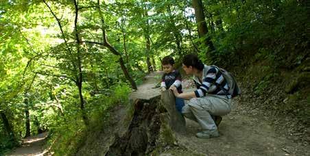
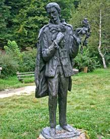
The route begins at the Stražilovo picnic area, near Sremski Karlovci, from where it zig-zags uphill to the tomb of the Serbian poet Branko Radičević and continues to the asphalt road running across the moun tain’s ridge. After the short asphalt stretch, the route goes down a proper forest road to Grgeteg Monastery, dating back to the second half of the 15th Century.
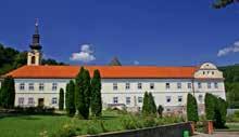
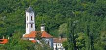
Route: Novo Hopovo Monastery-Sloboda (Freedom) Memorial Site-Staro Hopovo Monastery
Length: 15 km
Estimated time to complete: 4h
Trail difficulty: moderate
Trail regulation: signposted
Total climb: 368 m
Total descent: 368 m
Trail surface: dirt road, asphalt
The route descends from the Novo Hopovo Monastery, built in the 15th Century, thro ugh the forest, along the mountain ridge and past the Sloboda (Freedom) Memorial Site, commemorating the freedom fighters killed in World War II. After the Memorial Site, the route continues through woods and later through orchards and vineyards, past the Novo Hopovo Monastery and to the Staro Hopovo Monastery, which dates back to the second half of the 15th Century.
Route: Vrdnik-Stara Kolonija-Zmajevac
Length: 9 km, or 17 km with the optional visit to Nova Kolonija.
Trail regulation: signposted
Trail difficulty: easy, or moderate with the optional stretch through Nova Kolonija
Total climb: 250 m, or 420 m with the optional visit to Nova Kolonija.
Start elevation: 272 m.a.s.l.
End elevation: 210 m.a.s.l.
Trail surface: dirt road
The route begins by the old miners’ settle ment of Stara Kolonija and continues up a forest path to the Fruška Gora ridge. From there it follows an asphalt road to the picnic area of Zmajevac. You can return either by following the same route back or by moving on in the same direction to the old hotel and then turning south along the mountain ridge to the former miners’ settlement of Nova Kolonija.
With its undulating terrain and thick forests, the region of Valjevo is interspersed with plum orchards and raspberry farms. The crystalclear waters of the Gradac river meander through it like a backbone. The hills around the city of Valjevo are home to the monasteries of Pustinja, Ćelije and Lelić. The urban heart of the city of Valjevo is its colourful old town area of Tečnjar, with traditional craft stores, pas try shops and coffee houses. Landmarks no one should miss include the National Museum and the Modern Gallery, as well as Brankovina, the home village of the great poet Desanka Maksimović, of
which she wrote with so much love. Brankovina also offers exam ples of vernacular architecture – the so-called “sobrašice”, buildings used for gathering during feasts and popular assemblies. Apart from the “šljivovica” plum brandy, specialties of the region include “tobac co” pork cracklings and “gibanica” cheese pie from the village of Mi onica, as well as wild blueberries and mushrooms.
Turistička organizacija Valjevo www.divcibare.rs
Route: Ćelije Monastery-Eco CentreDegurić Horse Riding Club-Valjevo
Length: 9 km
Estimated time to complete: 3 h
Trail difficulty: easy Trail regulation: signposted
Total climb: Total descent: 250 m Trail surface: dirt road
The route follows the stream of the river Gradac, taking you from one bank to the other, which adds to its charm. The starting point is near the Ćelije Monastery, a women’s monastery dating back to the 14th Century. From there, a macadam road will take you down to the Eco Centre to a trail along the river bank. The lower course of the Gradac is a popular picnic site with the local youth and you will frequently run into picnickers. The Degurić cave, on the river’s right bank, is another amenity of this region.
Length: 17 km
Estimated time to complete: 5 h
Trail difficulty: moderate
Trail regulation: signposted
Total climb: 450 m
Total descent: 450 m
Start elevation: 1104 m.a.s.l.
End elevation: 970 m.a.s.l.
Trail surface: dirt and meadow paths
Route: Central area of Divčibare-Golubac (1056 m.a.s.l.) -Ljuti Krš (962 m.a.s.l.)-Stražara (1061 m.a.s.l.)-Kraljev sto (1104 m.a.s.l.)-Velika pleća (1050 m.a.s.l.)
Length: 17 km
Route type: round trip
Trail difficulty: moderate
Trail regulation: signposted
Total climb: 600 m
Total descent: 600 m
Trail surface: dirt road
The route follows the ridges and peaks surrounding the Divčibara. Although the mountaineering centre is near, some sections of the route seem remote from any civilisation and wild animal footprints are not an uncommon sight.
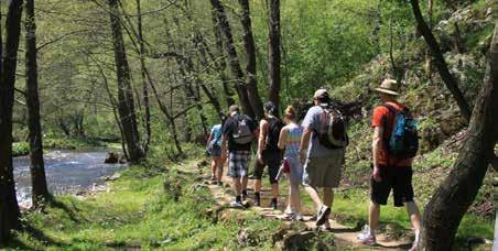
From the holiday town of Kraljev Sto, the route descends across mountains and pastures to brooks and from there it ascends through pastures and forests to the peak of the Veliki Maljen Mountain.
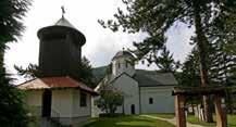
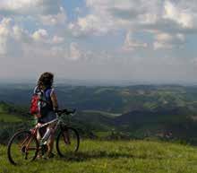
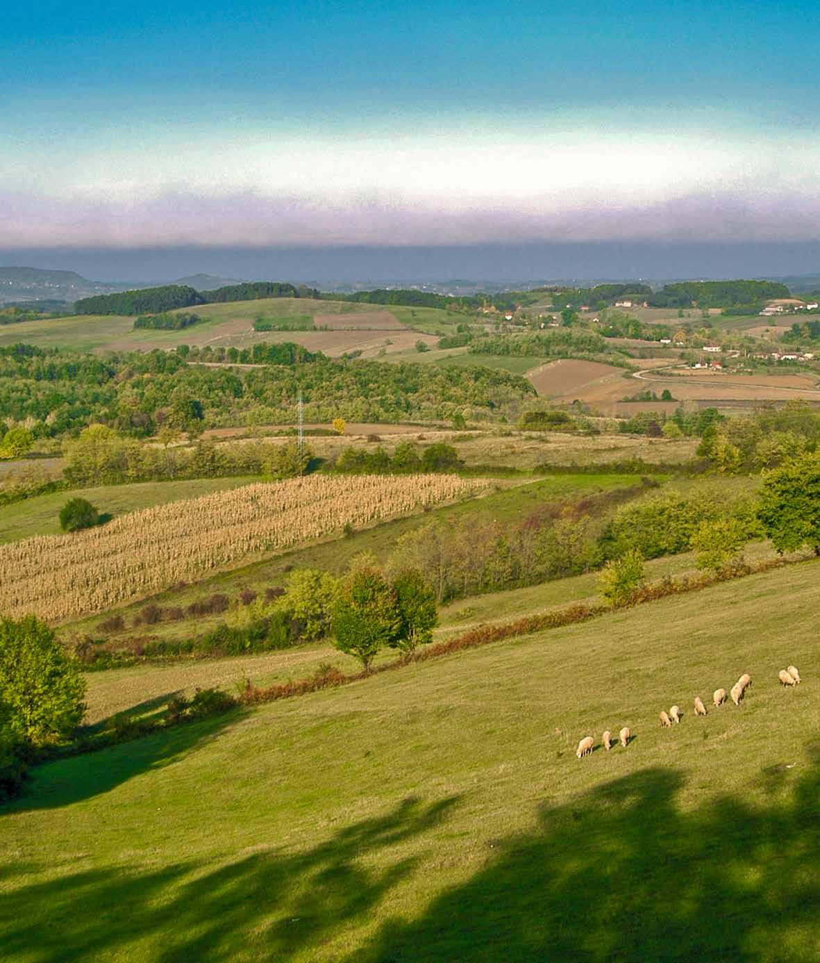
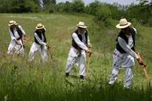
The Rajac is a mountainous area near the towns of Ljig and Gornji Milanovac. As you walk around the area, you will have a great view of the surroundings in all directions, which you will find very soothing as it fills you with a sense of tranquil lity. The Rajac is famous for its seemingly endless meadows, stretching all around like a vast green sea, as well as for its Ra jac Scythe Festival, an international competition of mowers. Be sure to visit the neighbouring villages and have a break at the Koštunići Ecovillage. This mountain is also suited for ad venture travel, as it allows visitors to engage in speleology in
the local caves and pits. Landmarks in the region of the Rajac include the towns of Takovo and Topola, which tell the his tory of the royal dynasties of Karađorđević and Obrenović, the Banja Vrujci spa complex and the Vraćevšnica and Bogovađa monasteries
Tourism Organisation of the Municipality of Ljig www.turisticka.org Tourism Organisation of the Municipality of Gornji Milanovac www.togm.org.rs
Route: Suvobor Peak-Ravna gora-RiorakVlasovi-Magleš Mountain Hut
Length: 18 km
Estimated time to complete: 7 h
Trail difficulty: easy
Trail regulation: signposted
Total climb: 520 m
Total descent: 610 m
Start elevation: 864 m.a.s.l.
End elevation: 978 m.a.s.l.
Trail surface: meadow and forest paths, macadam
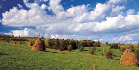
The mountain trail starts from the Suvobor peak, from where it descends to Ravna gora and then down a macadam road to the Grab brook. The trail then continues west, leading you beneath the Mali Maljen and the Veliki Maljen mountains, from where you will continue to the Magleš Mountain Hut.
Route: Takovo-Mountain Hut “Čika Duško Jovanović”
Length: 20 km
Estimated time to complete: 7 h
Trail difficulty: easy
Trail regulation: signposted
Total climb: 425 m
Total descent: 170 m
Start elevation: 380 m.a.s.l.
Route: Slavkovica-Crkvine-Debelo brdoMountain Hut Length: 5,5 km
Estimated time to complete: 2.5 h
Trail difficulty: easy
Trail regulation: signposted
Total climb: 480 m
Total descent: 75 m
Start elevation: 250 m.a.s.l.
End elevation: 625 m.a.s.l.
Trail surface: asphalt, macadam and dirt road
Attractions: The route starts from the church in the village of Slavkovica and goes southward to the Rajac, after which it will bring you to the hamlet of Crkvine. The trail then passes by the Scouts’ Hut and gently descends towards the Mountain Hut on the Rajc. Another important amenity on the Rajac is the je Memorial to the 1300 Corporals.
End elevation: 625 m.a.s.l.
Trail surface: asphalt, macadam and dirt road
The route starts from Takovo, home to Takovski grm, the site of the Second Serbian Revolt in 1815. The route will take you along forest paths and meadows to the Special Landscape Area of Rajac, with the Memorial commemorating the Battle of Kolubara and the Mountain Hut “Čika Duško Jovanović”.
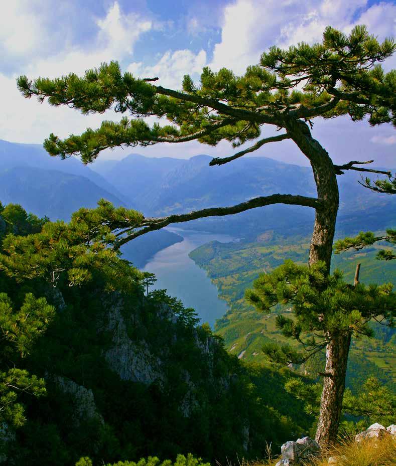
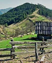
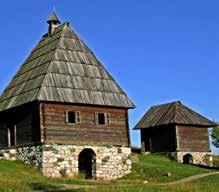
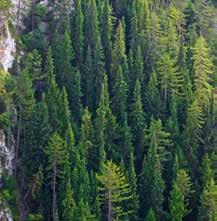
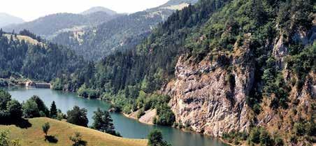
Visiting Mt. Tara is a memorable experience, but nothing can match the pleasure of returning to it frequently. Visitors to the Tara National Park are spoiled for choice between the differ ent opportunities to rest and enjoy. The strong air will make you dizzy at first, but soon you will feel completely rejuvenated. More than 1200 different plant species grow here, including the Ser bian spruce, a protected endemic species. The coniferous forests of the Tara National Park are among the most valuable and bestpreserved forests in Europe! They are home to a large population of Europe’s largest mammal – the brown bear. After trekking through the fragrant forests and visiting the high mountain viewpoints, which will engrave indelible memories
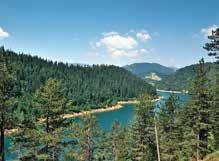
on your mind, you can descend to the beautiful river Drina or to the lakes of Zaovine and Perućac. Try the local trout – grilled, smoked or in soup – and refresh yourself with some “klekovača” fruit brandy. In the immediate vicinity of the Tara, on the slopes of the Mokra Gora mountain, are the Šargan Eight heritage rail way and the tourist resort of Drvengrad Sports and Tourism Centre of Bajina Bašta www.taradrina.com Tourism Organisation of Užice www.turizamuzica.org.rs Tara National Park www.nptara.rs
Route: Kaluđerske bare-Hajdučka česma rest stop-Bulibanovac-Zborište
Length: 13,3 km
Estimated time to complete: 4 h
Trail regulation: signposted
Trail difficulty: easy
Elevation differential: 690 m climb
Start elevation: 1040 m.a.s.l.
End elevation: 1544 m.a.s.l.
Trail surface: macadam and dirt roads
The route starts from Kaluđerske bare and takes us along well-maintained macadam and dirt forest paths to the Zborište peak.
Route: Mitrovac- Sekulić – Zborište
Length: 11,5 km
Estimated time to complete: 3 h
Trail regulation: signposted
Trail difficulty: easy
Total climb: 600 m
Start elevation: 1070 m.a.s.l.
End elevation: 1544 m.a.s.l.
Route: Kaluđerske bare-Crnjeskovo
Viewpoint-Rača Monastery
Length: 6,5 km
Estimated time to complete: 3 h
Trail regulation: signposted
Trail difficulty: easy
Total climb: 100 m, 790 m in the opposite direction
Start elevation: 1040 m.a.s.l.
End elevation: 930 m.a.s.l.
Trail surface: dirt road, macadam
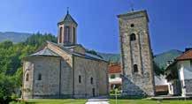
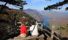
The route will take you through thick coniferous woods to the Crnjeskovo Viewpoint, with a clear view of Sokolarica, Krstata stena, the Rača river valley with the eponymous monastery and the town of Bajina Bašta. The route ends at the Rača Monastery, dating back to the 13th Century.
The route takes us from the visitors centre in the picnic area of Mitrovac at the Tara National Park, past the “Crveni potok” (Red Creek) reserve – a unique bog habitat of spruce, to the village of Sekulići. From there, you will continue along forest and macadam paths to one of Mt. Tara’s most beautiful peaks – Zborište.
Route: Mitrovac-Rastište-Jokići-Predov krst
Length: 14,6 km
Estimated time to complete: 5 h
Trail regulation: signposted
Trail difficulty: moderate
Total climb: 680 m
Start elevation: 1070 m.a.s.l.
End elevation: 1085 m.a.s.l.
Trail surface: asphalt and dirt road
The route will take you from the Mitrovac picnic area, along well-kept macadam and dirt paths through forests of the Serbian spruce, fir, the Norway spruce and pine, to the most remote and bestpreserved part of the Tara National Park, Predov krst, a habitat of the region’s largest mammal – the brown bear.
Route: Šljivovica-Tarabića brdo-Ridge road-Lokvica-Osluša-Sokolina-RustineŠljivovica
Length: 26 km
Route type: round trip
Trail regulation: signposted
Elevation differential: 380 m
Total climb: 1183 m
Total descent: 1183 m
Trail surface: forest and macadam roads and asphalt.
No technically demanding sections.
Route: Mitrovac-Banjska Stena
Length: 6 km
Estimated time to complete: 1.5 h
Trail regulation: signposted
Trail difficulty: easy
Total climb: 105 m
Start elevation: 1070 m.a.s.l.
End elevation: 1063 m.a.s.l.
Trail surface: asphalt, macadam and dirt surface
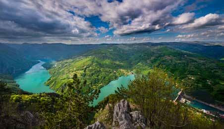
This educational hiking trail will take you on a macadam path through the forest, from the picnic area of Mitrovac at the Tara National Park, past the “Crveni potok” (Red Creek) reserve, to the developed viewpoint of Banjska stena, with a great view of the green waters of the Drina and the Perućac lake. The trail is fitted with educational billboards which help visitors learn about the plant and animal life on Mt. Tara.
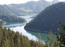
The route starts at the Learning Centre of the Tara National Park in the village of Šljivovica, famous for its homemade plum brandy, across the Tarabić hill to the Osluša viewpoint, overlooking the river Drina and the town of Bajina Bašta. The route continues to the driest place on the Tara mountain, the village of Sokolina, near the Rača Canyon Nature Reserve, a habitat of the brown bear..
Route: Kaluđerske bare-Dobro polje-Ljuto polje-Tankosin Grob-Mitrovac-RastišteLake Perućac-Perućac
Route length: 42 km
Estimated time to complete: 8 h
Trail regulation: signposted
Elevation differential: 851 m
Total climb: 1731 m
Total descent: 2537 m
Trail surface: macadam, asphalt
No technically demanding sections.
If you want to learn about the Tara, this route is the perfect choice. It starts at the site of Kaluđerska bara, passing through the Mitrovac picnic area with its “Crveni potok” (Red Creek) Reserve; you will then ride through Rastište and descend to the Lake Perućac for a refreshment.
Route: Šargan-Milekići-Iver-AleksandrićiKotroman-Glibetići
Route length: 34 km
Trail regulation: signposted
Start elevation: 950 m.a.s.l.
End elevation: 580 m.a.s.l.
Total climb: 1883 m
Total descent: 2255 m
Trail surface: dirt road, macadam and asphalt
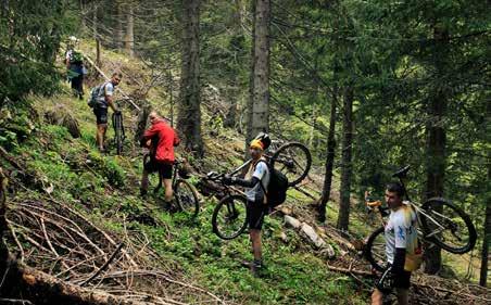
The route will take you along the slopes of the Tara on the side overlooking the Mokra Gora, from the village of Šargan through the Iver ski resort to the village of Glibetići. Although it may seem like you have a long descent ahead of you, first you have to tackle several climbs, including the one at the Bukov kraj site, where you will have to push your bike.
Route: Glibetići-Šargančica-Šargan-JatareGlibetići
Route length: 16 km
Route type: round trip
Trail regulation: signposted
Start elevation: 580 m.a.s.l.
End elevation: 580 m.a.s.l.
Total climb: 1177 m
Total descent: 1177 m
Trail surface: dirt and meadow paths
There are no technically demanding sections
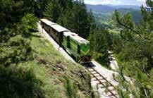
In addition to its natural beauty, the Mokra Gora is also known for its Šargan
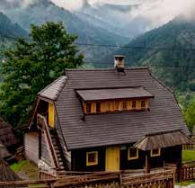
Eight, a narrow-gauge heritage railway which tackles the terrain in a unique way, as well as the “Drvengrad”, the tourist complex built by the famous film director Emir Kusturica. This route will show you the Šargan Eight from a completely new angle and enchant you with the magnificent terrain, splendid viewpoints and unforgettable descend.
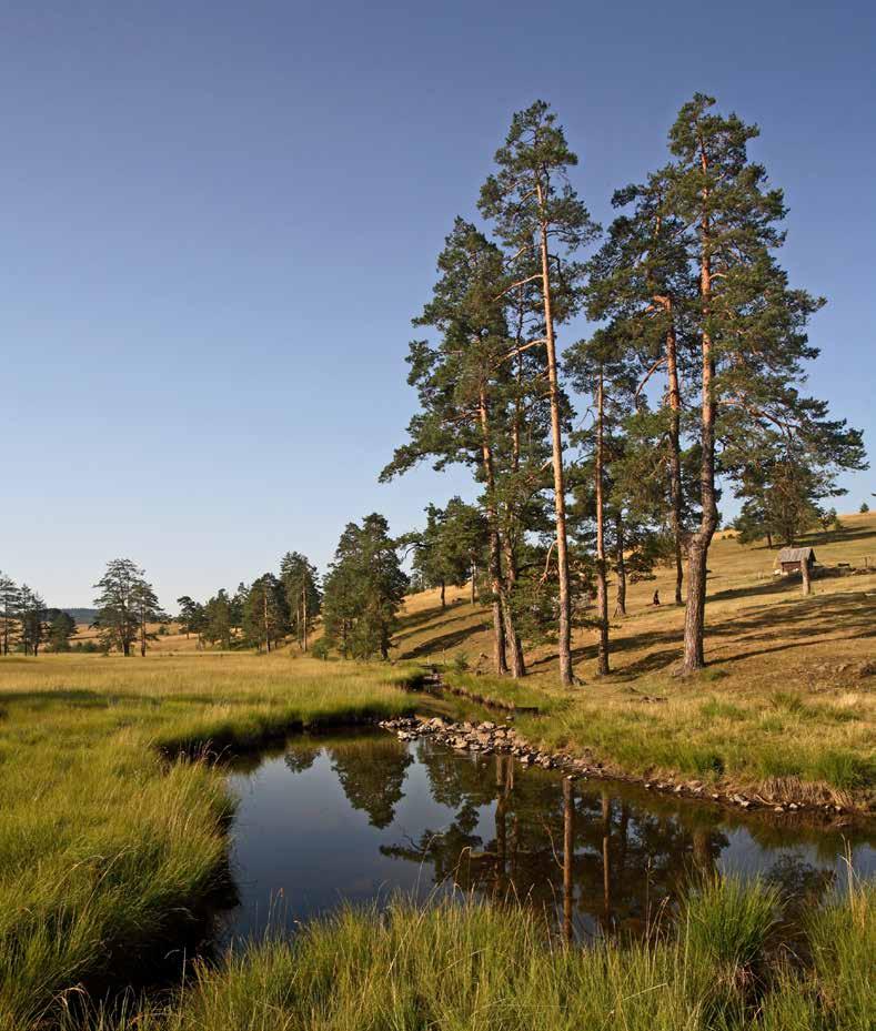
The vast hills of the mildly undulating plateau of the Zlatibor Mountain beckon you to stroll and take deep breaths: this is a spot where sea and mountain air meet and the whole moun tain is an air spa. Brooks intersect the mountain’s pastures and meadows and the Zlatibor is also known from its many springs: Hajdučka česma, Zaugline, Dunjića vrelo, Jovanove vode... The traditional houses of this region are log cabins, with the most beautiful examples of old Zatibor homes, dairies, granaries and cask sheds have been transferred to the unique open-air mu
seum “Staro selo” in the village of Sirogojno. This museum cher ishes and preserves popular customs and traditional crafts. The Tornik Ski Resort offers various recreation and sports amenities for families throughout the year: attractive panoramic rides on six-person chairlifts, exciting rides in bobsled on rails, fun tubing and winter sports.
Tourism Organisation of Zlatibor www.zlatibor.org.rs
Western and Central SerbiaRoute: Čigota Institute-Memorial Site
Length: 3 km
Estimated time to complete: 1 h
Trail difficulty: easy
Trail regulation: signposted
Total climb: 90 m
Total descent: -
Start elevation: 982 m.a.s.l.
End elevation: 1072 m.a.s.l.
Surface: asphalt, paved footpath
The route begins by the Čigota Institute. This easy tray may trick you into thinking it is too easy, but the continuous climb still requires some effort. The route ends by the Memorial Site commemorating World War II fighters.
This trail is a genuine mountaineering adventure. After passing the Memorial Site commemorating World War II fighters and the village of Gajevi, you will climb the Čigota peak, with a view across the Zlatibor plateau all the way to Mt. Maljen, Mt. Povlen, Mt. Ovčar and Mt. Kablar.
28
Route: Central area of Zlatibor-Memorial site-Gajevi-Čigota
Length: 11,2 km
Estimated time to complete: 3 h
Trail difficulty: easy
Trail regulation: signposted
Total climb: 615 m
Start elevation: 998 m.a.s.l.
End elevation: 1359 m.a.s.l.
Surface: dirt surface

29
Route: Zlatibor-Česma na Oku-Veliki BregSavino brdo-Šargan-Miloševac-Mitrovac
Route length: 48 km
Estimated time to complete: 8 h
Trail difficulty: moderate
Trail regulation: signposted
Total climb: 2621 m
Total descent: 2500 m
Start elevation: 980 m.a.s.l.
End elevation: 1082 m.a.s.l.
Trail surface: dirt roads, macadam roads
No technically demanding sections
Attractions:
The start of the route is at the centre of the Zlatibor tourist resort. The trail passes by the memorial water fountain “Česae na Oku”, erected to commemorate World War I fighters, across the Šargan hill, with its tourism amenities - the Drvengrad ethno-village and the Šargan Eight railway and below the Zborište peak, from where you embark on a mild descend through the hamlet of Sekulići to the picnic area of Mitrovac on the Tara Mountain.
Route: Zlatibor-česma Oko-Veliki BregViogorić-Semegnjevo-Railway StationSelište-Zlatibor
Route length: 32 km
Estimated time to complete: 6-8h
Trail difficulty: easy
Trail regulation: signposted
Total climb: 1431 m
Total descent: 1431 m
Trail surface: dirt roads, macadam roads and asphalt
No technically demanding sections
This recreational round cycling trip will take you through one of the most beautiful areas on Mt. Zlatibor – the Semegnjevo plateau, over mildly undulating meadow and forest paths down to the village of Semegnjevo. The 14 km long return journey to Mt. Zlatibor is an asphalt road.
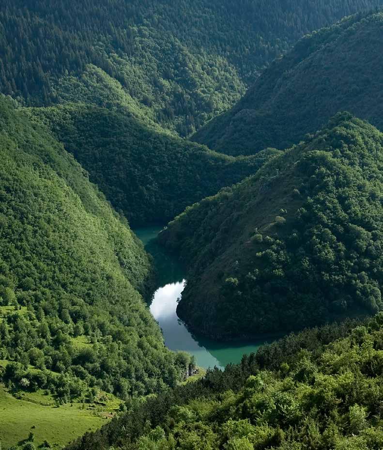
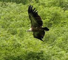
The mountain river Uvac flows from Mt. Zlatar to Mt. Zlatibor, ini tially as a free-flowing river with a succession of spectacular me anders and then through several lakes. The water takes on mag nificent shapes in this region: in addition to the meanders, there are also the waterfalls in Sopotnica, the rapids on the river Lim, the narrow canyon of the river Mileševka and the calm surface of the Lake Zlatar. Situated where Mediterranean and mountainous influences meet, the sunny Zlatar has a record number of sun shine days, so the reflections of its forests in the clear waters can be seen in all shades of green. The best view of this beauty cer tainly belongs to the griffon vulture, recently joined also by the black vulture and the white scavenger vulture, who glide along the Zlatar skies on their mighty wings. If you are a natural thrill-
seeker, you can descend from the heights to the secretive under ground world and visit the Ušac Cave and the Ice Cave! Near the canyon of the Uvac are also the towns of Nova Varoš, Priboj and Prijepolje. Be sure to visit the Museum of Prijepolje and the medi aeval monastery of Mileševa, with its famous “White Angel” fres co. You absolutely must taste the local buckwheat pie, the cheese of Zlatar and the mountain medicinal drink known as “vodnjika”.
Tourism and Sports Centre of Zlatar www.zlatar.org.rs
Special Nature Reserve Uvac www.uvac.org.rs
Western and Central SerbiaLength: 6 km
Estimated time to complete: 3.5 h
Trail difficulty: moderate
Trail regulation: signposted
Total climb: 400 m
Total descent: 400 m
Trail surface: dirt surface
NOTE: All visits to the viewpoint and use of the hiking trails must be announced in advance to the Administration of the Special Nature Reserve, who will assign a protected area guard to accompany you.
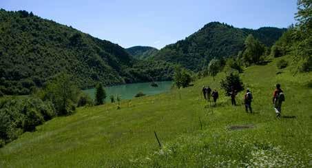
The hiking trail starts at the Krstac site, 5 km away from the town of Sjenica, and runs along the edge of the Lake Uvac to the Molitva viewpoint, with its spectacu lar view of the Uvac. During the hike you are sure to spot the griffon vulture, the symbol of this Special Nature Reserve.
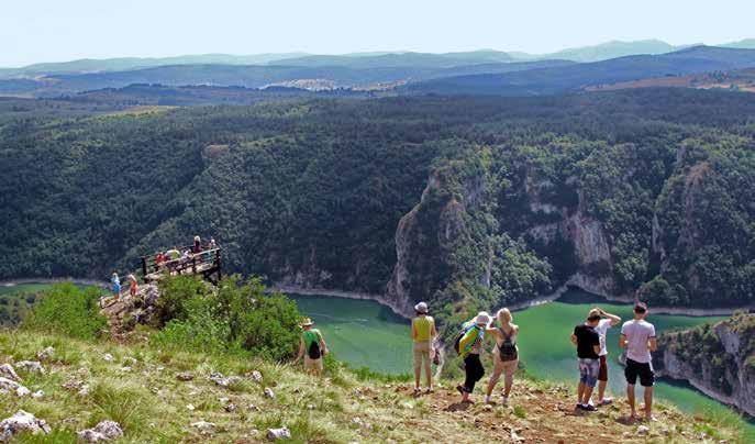
Visits must be announced in advance and tickets to enter the Special Nature Reser ve must be purchased from a protected area guard.
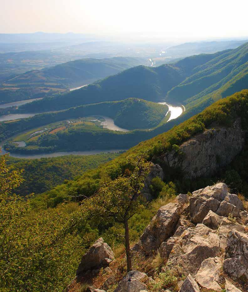
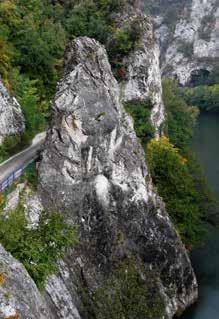
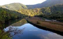
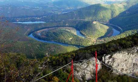
Wedged between Mt. Kablar and Mt. Ovčar, the West Morava Gorge features mild, forest-covered plateaus which hide many monasteries, with a view of the calm meanders of the river. The monasteries of the Ovčar-Kablar Gorge have existed in har mony with the landscape for centuries and are places of pilgrim age. Hiking and cycling trails from the peaks of Mt. Ovčar and Mt. Kablar to Mt. Jelica pass through deep linden, hornbeam and ash woods and across ploughland, fields and orchards. The Ovčar Banja spa stands sentry at the entrance to this protected na ture area. The valleys beneath Mt. Ovčar and Mt. Kablar and the
village of Guča are home to music festivals celebrating the mel lifluous traditional flute and the temperamental trumpet. Spe cialties of the region include traditional sour cabbage known as “wedding cabbage”, boiled in an earthen pot, and hot corn bread (“proja”) with kaymak from Čačak.
Tourism Organisation of Čačak www.turizamcacak.org.rs
Tourism Organisation of Dragačevo www.turizamdragacevo.org
Route length: 29 km
Route type: round trip
Estimated time to complete: 6-8h
Trail difficulty: moderate
Trail regulation: signposted
Total climb: 790 m
Total descent: 795 m
Start elevation: 277 m.a.s.l.
End elevation: 277 m.a.s.l.
Trail surface: dirt roads, macadam roads and asphalt
No technically demanding sections
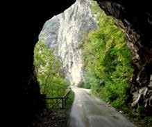
This route will take you to the viewpoint at the highest peak of Mt. Kablar, with fantastic views of the meanders of the West Morava. Along the way, you can visit the mediaeval monasteries of Nikolje and Uspenje and see the old narrow-gauge ra ilway, which used to run through a tunnel in the gorge more than 100 years ago.
Route length: 16 km
Trail difficulty: difficult
Trail regulation: signposted with boards
Total climb: 790 m
Total descent: 157 m
Start elevation: 277 m.a.s.l.
End elevation: 985 m.a.s.l.
Trail surface: dirt roads, macadam roads and asphalt
No technically demanding sections
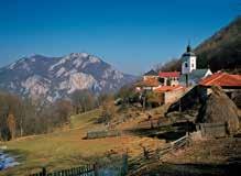
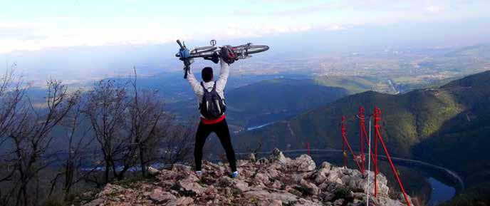
The route begins at the centre of the Ovčar Banja spa and leads to a natural attracti on of the area, the Banjski Creek, through the hamlet of Dučalović to the peak of Mt. Ovčar, overlooking the meanders of the West Morava. Of particular interest are the two forking sections of the route whi ch lead to the Holy Trinity Monastery and the Sretenje Monastery respectively.
Route length: 8 km
Trail difficulty: easy
Trail regulation: signposted
Total climb: 272 m
Total descent: 159 m
Start elevation: 743 m.a.s.l.
End elevation: 879 m.a.s.l.
Trail surface: dirt roads, macadam roads and asphalt.
No technically demanding sections
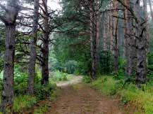
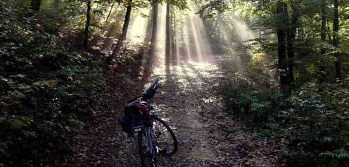
The route runs along the bends of Mt. Jelica, through coniferous and deciduous forests. This area is sparsely populated, gi ving you an opportunity to enjoy pristine nature. There are two viewpoints along the route: Goračići and Crna stena, the highest peak of Mt. Jelica, with a view of the whole village of Dragačevo.
Route length: 4 km
Trail difficulty: moderate
Trail regulation: signposted
Total climb: 187 m
Total descent: 1 m
Start elevation: 257 m.a.s.l.
End elevation: 329 m.a.s.l.
Trail surface: asphalt
No technically demanding sections
Route length: 7,2 km
Trail difficulty: moderate
Trail regulation: signposted
Total climb: 353 m
Total descent: 53 m
Start elevation: 257 m.a.s.l.
End elevation: 573 m.a.s.l.
Trail surface: macadam roads and asphalt. No technically demanding sections.
Through the natural splendours of this region, the route will take you to the Stje nik Monastery, which was, according to legend, built by the Mrnjavčević brothers, Serbian noblemen of the 14th Century. This route branches into numerous footpaths by which you can access the many viewpoints in the area.
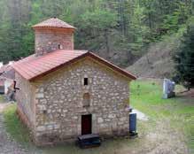
The Trnava Monastery of the Annuncia tion, built in the 13th Century, is the main attraction of the route. The monastery was the site where Hadži Prodan’s Rebel lion began in 1814.
Route length: 3,1 km
Trail difficulty: moderate
Trail regulation: signposted
Total climb: 15 m
Total descent: 152 m
Start elevation: 307 m.a.s.l.
End elevation: 460 m.a.s.l.
Trail surface: asphalt
No technically demanding sections
The asphalt road will take you to the 14th Century monastery of Ježevica, which was, according to legend, built by Ban Milutin, a member of the nobility.
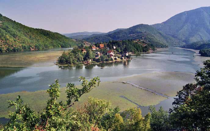
Route length: 4,5 km
Trail difficulty: moderate
Trail regulation: signposted
Total climb: 411 m
Total descent: 86 m
Start elevation: 257 m.a.s.l.
End elevation: 573 m.a.s.l.
Trail surface: dirt roads, macadam roads and asphalt
No technically demanding sections.
You could spend weeks on the Kopaonik Mountain and never run out of new things to do every day: the Kopaonik National Park and its surroundings offer an endless range of activities yearround. In the summer, you can take up horse-riding, paragliding or archery, see the rapids and canyon of the river Samokovka or the Jelovarnik waterfalls, pick herbs and wild blueberries... In the winter, Kopaonik becomes Serbia’s most visited ski resort
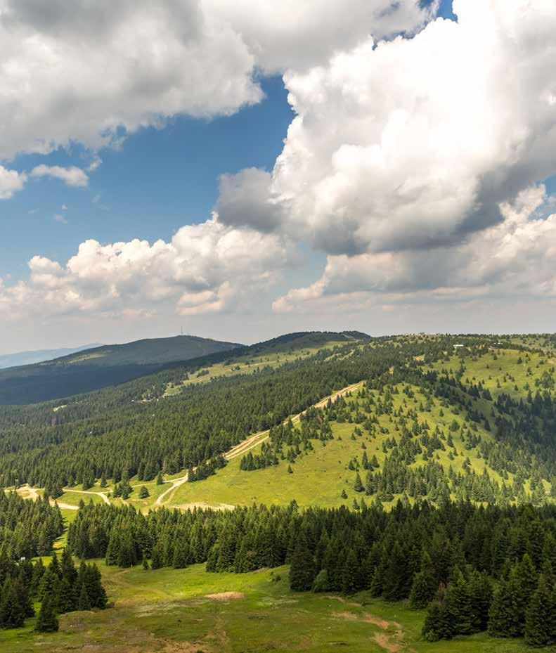
Its long hiking trails, which traverse meadows and cut through woods, lead to unusually named places: Nebeske stolice (Heav enly Chairs), Oštro koplje (Sharp Spear), Suvo rudište (Dry Ore Shoot), Debela glava (Fat Head). The slopes of the mountain are
also the source of local dishes: preserved wild strawberries (“slat ko”), blueberry juice, nettle scallops and kaymak from the city of Kraljevo, which is eaten with everything and on every occasion! The hot springs are home to the Jošanička Banja spa. Studeni ca, a mediaeval monastery included on the UNESCO list of World Heritage Sites, is also near Mt. Kopaonik.
Tourism Organisation of Raška www.raska-turizam.rs Kopaonik National Park www.npkopaonik.com
Route length: 4,5 km
Trail difficulty: moderate
Trail regulation: signposted
Total climb: 411 m
Total descent: 86 m
Start elevation: 563 m.a.s.l.
End elevation: 896 m.a.s.l.
Trail surface: dirt roads, macadam roads and asphalt.
No technically demanding sections
The route passes by the Lake Čomaga and traverses the Borje viewpoint, continuing along dirt roads to the Lake Borjak and the Dubovske bačije viewpoint.
Route length: 2,3 km
Trail difficulty: easy
Trail regulation: signposted
Total climb: 185 m
Total descent: 5 m
Start elevation: 680 m.a.s.l.
End elevation: 869 m.a.s.l.
Trail surface: dirt roads, macadam roads and asphalt.
No technically demanding sections
The Borje Orange Route runs parallel to the Red Route before branching off to the Tijanićki potok waterfall, through the forest and to the Hunters’ Cabin.
Route length: 4,8 km
Trail difficulty: easy
Trail regulation: signposted
Total climb:
Total descent: 335 m
Start elevation: 870 m.a.s.l.
End elevation: 563 m.a.s.l.
Trail surface: dirt roads, macadam roads and asphalt.
No technically demanding sections
The Green Route closes the circle together with the Red Route and the Orange Route. The Green Route starts at the Hunters’ Cabin and will take you thro ugh undiscovered parts of Borje to the Jošanička Banja spa. As you pass through the area, a magnificent view of the peaks of Kopaonik will be a constant presence.
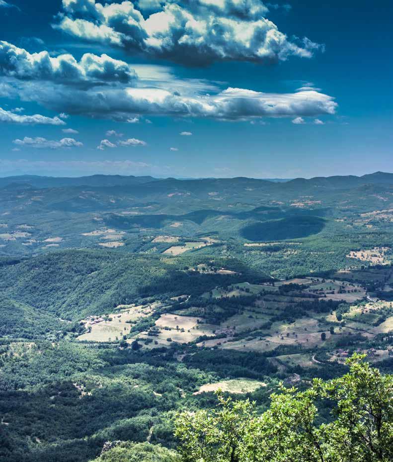
On the Radan Mountain, nature has created many awe-inspiring phenomena: an unusually large number of various hot springs, unique relief forms, a spot where water appears to run uphill... In fact, this mountain is home to Devil’s Town (Đavolja varoš): in a steep crevice, visitors are greeted by two hundred tall earth pil lars. This natural phenomenon created by erosion features prom inently in many folk legends. One of the most beautiful among them is the belief that all those who visit this spot should leave here the handkerchief they used to wipe their forehead, so they could leave all their worries behind. Many mineral waters spring from the depths of Mt. Radan: the Prolom Banja spa is famous for its drinking water, the Lukovska Banja spa has more than 30
hot springs, while water at the Sijarinska Banja spa shoots to the surface in a 12-metre high geyser! History buffs can visit Pločnik, a Neolithic site of the late Vinča culture, or the archaeological site from the Byzantine Empire - Caričin grad (Empress’s Town). To sample the flavours of the Radan region, be sure to taste meats prepared under the traditional baking lid, brick oven bread, hon ey from the village of Prekopčelica and wild pear brandy.
Tourism Organisation of the Municipality of Kuršumlija www.tokursumlija.rs Prolom banja www.prolombanja.com
Eastern and South-eastern SerbiaRoute: Borinska river spring-Deli vodaMarino Kale-Lake Brestovac
Route length: 16,6 km
Trail difficulty: easy
Trail regulation: signposted
Start elevation: 870 m.a.s.l.
End elevation: 563 m.a.s.l.
Trail surface: dirt and macadam roads
No technically demanding sections
Route: Gajtanska vrata-Sopot-Slišane
Route length: 16,6 km
Trail difficulty: easy
Trail regulation: signposted
Start elevation: 874 m.a.s.l.
End elevation: 555 m.a.s.l.
Trail surface: dirt roads, macadam roads and asphalt
No technically demanding sections
As its name suggests, this route will take you to the Gajtanska vrata bend, with a panoramic view to Borinac in the north and the village of Gornji Gajtan in the south.
This route is dedicated to water, local brooks and rivers. The trail begins at the spring of the Obreška river and leads down the Izvorski potok brok to do Delivode. Later on, as you follow the stream of the Pusta reka river, you will reach the Lake Brestovac.
Route: Prekopčelica -Prekopolje-Slišane
Route length: 13,7 km
Trail difficulty: easy
Trail regulation: signposted
Start elevation: 870 m.a.s.l.
End elevation: 563 m.a.s.l.
Trail surface: dirt and macadam roads No technically demanding sections
Attractions: This easy trail starts at the village of Prekopčelica and leads through villages with old houses built in the traditional vernacular style, made of wood, stone and clay.

Route: Prolom Banja spa-Lazarica ChurchDjurdjevići-Đavolja Varoš
Route length: 16 km
Trail difficulty: easy
Trail regulation: signposted
Start elevation: 550 m.a.s.l.
End elevation: 700 m.a.s.l.
Trail surface: dirt and macadam roads
No technically demanding sections
This trail will take us through some of the most mysterious places in all of Serbia. The route begins at the Prolom Banja spa, continues to the Lazarica church, surrounded by twisted plum tree trunks, and ends at Devil’s Town (Đavolja varoš), a place that piques visitors’ imagination due to its sculpted earth pillars and the lack of any vegetation.
Mount Rtanj, Mount Suva planina and Mount Stara stand as towering guards above Eastern and Southern Serbia, privy to many a secret they have learned standing there since the ancient times. The natural diversity of Suva planina and Stara planina is Serbia’s true gem and these areas have also been identified as areas of inter national importance for the protection of birds, insects and plants. Equally diverse are the traditional local delicacies: phyllo dough pie, the kačkavalj chees of Pirot and flattened flat sausages, broadbean jelly, “belmuž”, a traditional shepherds’ dish, and dishes made from Cuban black pepper. Clean air and clean water are among the most treasured resources of this area and drinking the mountain water from the spring while on a hike is quite common. Those who treasure water can enjoy the modern Stara planina ski centre or
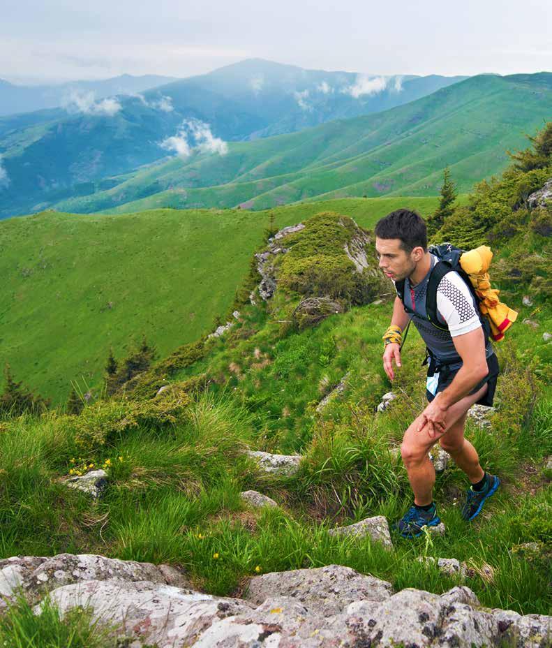
treat themselves to the healing power of water at the Sokobanja spa or the Niška banja spa
The urban centres – Niš, Knjaževac, Pirot, Sokobanja – offer visi tors a glimpse of the region’s cultural heritage: the ancient sites of Mediana and Felix Romuliana, the traditional craft products like the Pirot carpets and double-yarn socks, modern music and films...
Tourism Organisation of the Municipality of Knjaževac www.toknjazevac.org.rs
Tourism Organisation of Sokobanja www.tosokobanja.rs
Tourism Organisation of Niš www.visitnis.com
Eastern and South-eastern SerbiaRoute: Mountain Hut-Babin zub-Midžor peak
Length: 8 km
Estimated time to complete: 3 h
Trail difficulty: moderate
Trail regulation: signposted
Total climb: 616 m
Total descent: 52 m
Start elevation: 1550 m.a.s.l.
End elevation: 2169 m.a.s.l.
Trail surface: dirt road
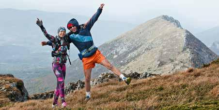
The climbing trail to Serbia’s highest peak starts from the Mountain Hut nestled beneath the imposing rocks of Babin zub, one of the peaks of Mt. Stara planina. The climb will take you across meadow paths to the mountain’s ridge, which runs parallel to the Bulgarian border and takes you to the Midžor peak.
Length: 6 km
Estimated time to complete: 3 h
Trail difficulty: demanding
Trail regulation: signposted
Total climb: 1000 m
Total descent: 4 m
Start elevation: 560 m.a.s.l.
End elevation: 1566 m.a.s.l.
Trail surface: dirt road
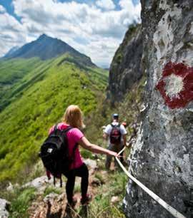
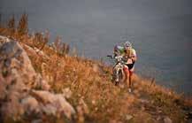
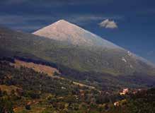
Mount Rtanj is an attraction because of its pyramidal shape, which has tickled peoples’ fancy for ages and has made the mountain the stuff of legends and mystery. The trail zig-zags along the southern slopes of the mountains and takes you to one of Serbia’s most interesting peaks. The demolished chapel perched at the peak used to hold a treasure of gold according to legend.
Route: Bojanine vode-Devojački grob-vrh
Trem
Length: 12,9 km
Estimated time to complete: 7 h
Trail difficulty: demanding
Trail regulation: signposted
Total climb: 1900 m
Start elevation: 864 m.a.s.l.
End elevation: 1809 m.a.s.l.
Trail surface: dirt footpath
The climbing trails begins at the Mountain Hut at Bojanine vode.
Although the ascend is challenging, once you reach the mountain ridge you will be rewarded with a fantastic view of the Niš, Bela Palanka and Zaplanje basins.
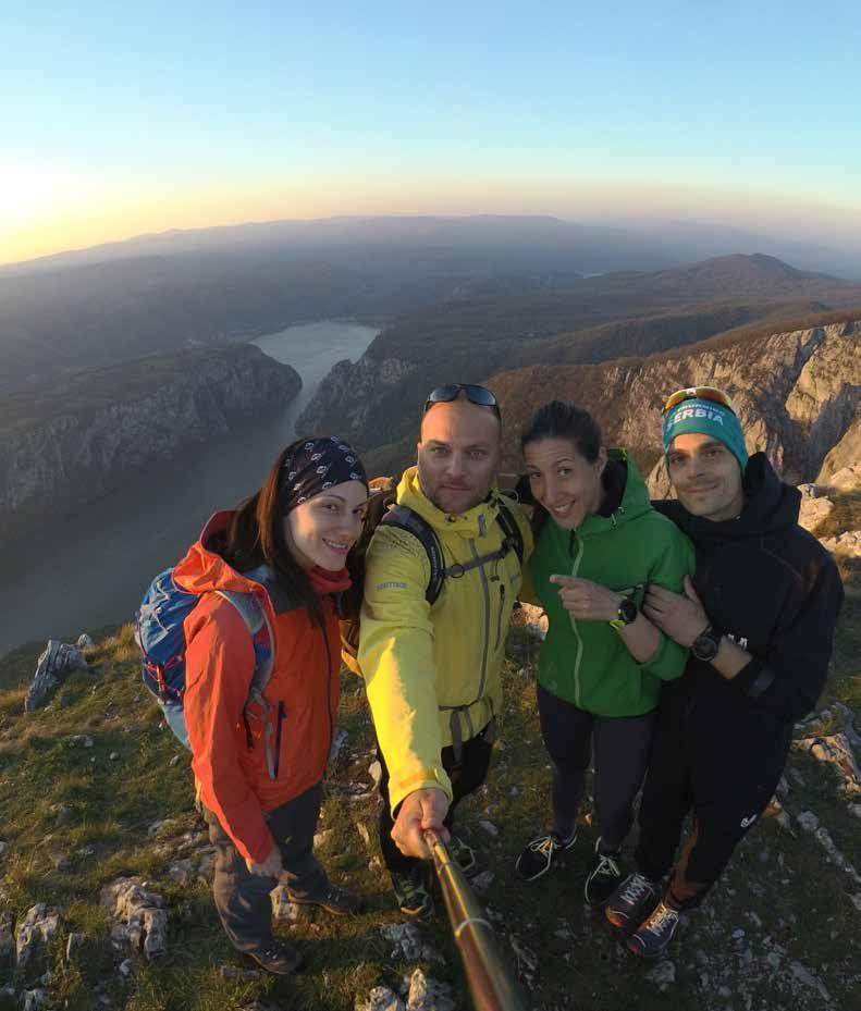
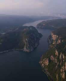
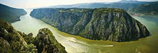
The Iron Gates Gorge is situated at the easternmost point of Ser bia, at the border with Romania. From the Iron Gates, which mark the entry to the gorge, the stream of the Danube changes dramati cally: from the slow and leisured pace at which it flows through Cen tral Europe, the mighty Danube here undergoes a transformation and shows a new, equally awe-inspiring side, as it starts to mean der through narrows. This exciting communion of water and rock is teaming with life. The rich plant life includes a host of relictual and protected species. The forest-covered hilly and mountainous strip is home to large predators, including the brown bear, the Balkan lynx, wolves, jackals and many bird species. The entry to the gorge is known as “Labudovo okno” – the largest wintering grounds for aquatic birds in Serbia and a favourite birdwatching destination.
The Iron Gates Gorge can also be experienced from the water, sailing down the mighty Danube, as well as from the steep banks and nu merous viewpoints. The Lepenski Vir Museum introduces us to the mysterious prehistoric civilisation that used to live here, while the mediaeval Golubac Fortress perches atop of almost vertical cliffs as it continues to sternly guard the gates to the Iron Gates Gorge
Tourism Organisation of Golubac www.togolubac.rs, Tourism Organisation of Majdanpek www.toom.rs NP Đerdap www.npdjerdap.org
Length: 3,5 km
Estimated time to complete: 1.5 h
Trail difficulty: moderate
Trail regulation: signposted
Elevation differential: 240 m
Start elevation: 90 m.a.s.l.
End elevation: 355 m.a.s.l.
Trail surface: dirt footpath
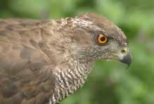
The route will take you through the forests of the Đerdap National Park to the Ploče viewpoint above the Mali Kazan gorge, at the spot where the Danube is at its narrowest, measuring just 90 metres in width. If you watch carefully, you may spot the grey hawk, one of the many bird species living at Đerdap.
This route passes through sessile oak, hornbeam and European Turkey oak forests to the Kovilovo viewpoint, overlooking the Donji Milanovac Basin, Treskavac (Lepenski Vir), Greben and the submerged Porečko island, which emerges from the Danube during low water levels, as well as the town of Donji Milanovac.
Length: 1,2 km
Estimated time to complete: 40 min.
Trail difficulty: easy
Trail regulation: signposted
Elevation differential: 90 m
Start elevation: 398 m.a.s.l.
End elevation: 358 m.a.s.l.
Trail surface: dirt footpath
Length: 4,3 km
Estimated time to complete: 1 h
Trail difficulty: easy
Trail regulation: signposted
Elevation differential: 166 m
Start elevation: 142 m.a.s.l.
End elevation: 308 m.a.s.l.
Trail surface: dirt footpath
An educational trail designed to be travelled independently by visitors of all ages. The trail is fitted with 12 interactive learning billboards distributed along the 4=kilometre trail, which provide visitors with information on the plant and animal life at the Đerdap National Park.
NOTE: All visits to the viewpoint and use of the hiking trails must be announced in advance to the Administration of the Đerdap National Park, who will assign a protected area guard to accompany you.
Length: 7,1 km
Estimated time to complete: 4 h
Trail difficulty: moderate
Trail regulation: signposted
Elevation differential: 372 m
Start elevation: 254 m.a.s.l.
End elevation: 626 m.a.s.l.
Trail surface: dirt footpath
The route starts from the Đerdap Main Road, at the Golo brdo site, passes through the forests of the Đerdap National Park, and ends at the Mali Štrbac viewpoint, with a magnificent view of the Danube and the narrowest gorge at Đerdap – the Mali Kazan.

To learn about formalities regarding entry into Serbia, consult the website of the Ministry of Foreign Affairs of the Republic of Serbia www.mfa.gov.rs
Transport Air Serbia +381 11 3112 123 www.airserbia.com
Belgrade Nikola Tesla Airport +381 (0)11 209 4444 www.beg.aero
Serbian Railways +381 (0)11 3602 899 www.zeleznicesrbije.com
Belgrade Bus Station, BAS +381 (0)11 2636 299 www.bas.rs
The country’s legal tender is the Serbian dinar (RSD)
Country dialling code: +00 381, Belgrade dialling code: (0)11, Novi Sad dialling code: (0)21, Niš dialling code: (0)18.
International phone calls: 00 + national dialling code of the country you wish to call + city dialling code
Important phone numbers Police 192 Fire Department 193 Ambulance 194
Mobile Operators
064 and 065 MTS Mobilna telefonija Srbije www.mts.telekom.rs 063 and 062 Telenor www.telenor.rs 060 and 061 Vip www.vipmobile.rs
Today, the Mountaineering Association of Serbia has 152 member mountainee ring clubs/societies from across Serbia, numbering more than 15,000 members, organising about 3000 excursions a year. They maintain the network of footpaths and mountaineering paths and trails identified as sports and tourism facili ties under the law. The total length of footpaths and mountaineering paths and trails in Ser is approximately 6,000 kilometres. In addition to maintaining the quality of the mountaineering trails, the Mountaineering Association of Serbia also trains mountain guides and oversees the safety of Serbia’s mountains through the Mountain Rescue Service of Serbia. The Mountaineering Association of Serbia is a member of the International Climbing and Mountaineering Federation (UIAA), the European Ramblers’ Association (ERA) and the Balkan Mountaineering Union (BMU).
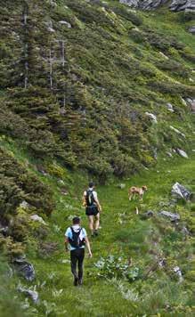
Contact: www.pss.rs
The main tasks of the Mountain Rescue Service of Serbia, a voluntary, non-profit organisation, is to help and rescue people in inaccessible mountain and urban conditions. Rescuers of the Mountain Rescue Service are on duty year-round at Serbia’s mountain resorts, thus providing additional safety both to winter sports aficionados and those who love visiting mountains in the summer.
For help on ski slopes or in any dange rous situation associated with traveling or staying in the mountains, contact rescuers of the Mountain Rescue Service of Serbia:
Belgrade Station: 063 466 465
Novi Sad Station: 063 466 469
Kopaonik: 063 466 466
Zlatibor: 063 466 467
Stara planina: 063 466 461
Kruševac Station: 063 466 468
Boljevac Station: 063 466 463
Niš Station: 063 466 484
This brochure is for informational purposes only. The Tourism Organisation of Serbia is not responsible for the condition or passability of trails on site, which may be subject to change.
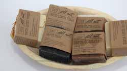
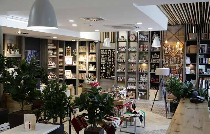


at www.srbija.travel
Publishers:
Tourism Organisation of Serbia Čika Ljubina 8, 11000 Belgrade Phone: +381 11 6557 100 Fax: +381 11 2626 767 e-mail: office@serbia.travel www.srbija.travel
Original title: Pešačenje i biciklizam: aktivan odmor u Srbiji
Translation: Congress Service Center Belgrade
For the Publishers: Marija Labović, Acting
General Manager
Editor: Ivan Vuković
Authors: Milja Vuković, Ivan Vuković
Design: Marijana Markoska, PhD
Proofreader: Isidora Sekulić
Consultanta: Mountaineering Association of Serbia

Photos: Miloš Milenković, Saša Preradović, Marko Nikolić, Aleksandar Matić, Dragan Vildović, Marko Milošević, Rozana Sazdić, Vladimir Ćorović, Nemanja Nešković, Marko Cvetković, Nebojša Babić, Jovan Eraković, Miroslav Zarić, Hishii 7 Summits By Bike, Predrag Despotović, Stefan Lukić, Dragan Bosnić, Slobodan Sujić (UU Summer School), Branko Jovanović, Vladimir Tatarević, Mileta Mirčetić, Lazar Lazić, Radan Cluster Archives, archives of the Tourism Organisation of Serbia
Printed by: Službeni Glasnik, Jovana Ristića 1, 11040 Belgrade Printing run: 2.000 2nd edition in English, 2019. ISBN 978-86-6005-591-2
© Tourism Organisation of Serbia


CIP -
338.48-52:796.51(497.11)(036) 338.48-52:796.61(497.11)(036)
VUKOVIĆ, Milja, 1979Hiking and cycling : active holiday in Serbia / [authors Milja Vuković, Ivan Vuković ; photos Miloš Milenković ... [et al.]]. - 2nd ed. in English. - Belgrade : Tourism Organi sation of Serbia, 2019 (Belgrade : Službeni glasnik). - 40 str. : fotogr. u bojama ; 24 cm
Prevod dela: Pešačenje i biciklizam. - Podatak o autorima preuzet iz kolofona. - Tiraž 2.000.
ISBN 978-86-6005-591-2

1. Vuković, Ivan, 1980- [аутор]

