3 minute read
Geodrones over the land
A new angle on renewables
With an industrial background and extensive knowledge of surveying and construction, Jason Vella was keeping an eye on developments in renewable energy when he spotted an opportunity in stateof-the-art drone technology. Twelve months ago he took the plunge and launched Geodrones Australia, authorised reseller of hobby drones and fully licensed and CASA certified operator of industrial drones for aerial photography and videography. Smart Energy magazine spoke to Jason to find out more about how the technology is proving beneficial in the development and maintenance of large-scale renewable energy systems.
Advertisement
What made you decide to launch Geodrones Australia?
I started the business because of a niche in the market and because traditionally Australia is slow to adopt new technologies into new areas. The renewable energy sector tends to be quite innovative in its development however not necessarily in its maintenance and operation. I figured get in early and build a strong reputation for when the industry realises the financial savings of ongoing drone operations that save on maintenance in the future.
Can you outline the main benefits and advantages of aerial imagery?
Dual sensor capability and thermal cameras are game-changers and in just one flight they can provide the real-time data that is needed to schedule site maintenance or assess structural capacity. For example drones can rapidly and accurately assess whether a roof can handle a new solar system, or inspect individual solar panels while monitoring structural components and the environment.
Although digital technology can isolate issues, aerial inspection techniques pinpoint actual panels, which traditional methods are not capable of doing.
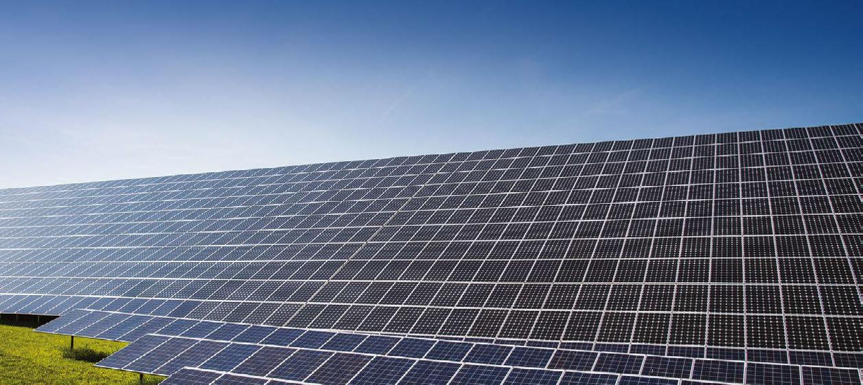
Solar farm machine learning applications can quickly determine which panels and associated infrastructure are not functioning properly on a large scale, which previously would require technicians out in the field physically testing every connector.
For wind turbines, the use of drones to inspect the blades can cut costs by up to 50 per cent, eliminating the need for expensive and risky high-rope access in manual inspections.
Wind farm operators can gain very detailed, accurate and high quality images to use as part of their maintenance regime. When owners and operators disagree over the cause of damage from force majeure incidents such a lightning strike or a bird strike, we can very quickly and accurately determine what has occurred. The evidence allows the two parties to amicably agree on who takes financial responsibility for repairs.
Which sector shows strongest demand?
The wind sector is showing good demand at the moment, although it is difficult to influence the maintenance regime as system owners are not necessarily the operators, and quite often due to indemnity reasons the owner is hesitant to recommend using one method of inspection over the other.
What about geographical differences?
Regional NSW and South Australia are showing strong demand, less so in Victoria and Queensland. Generally solar farms tend to be slow on the uptake of drones for inspections and still rely on traditional methods to detect faults in their grid. However we picked up a job in the ACT for a solar farm that was really exciting.
What difficulties do you encounter?
The most difficult are the wind farms, not necessarily due to the size but rather the environmental conditions. Our drones can, however, safely and accurately operate in wind conditions of 20m/s (approximately 40 knots). It sometimes surprises the general public but wind farms are usually located in extremely windy areas!
Our inspections generally start early in the morning to avoid the stronger winds at wind farms and also to get the right angle of the sun shining on the solar panels (depending on the type) but generally we are working in a race against mother nature to ensure we can get what we need before it gets too windy etc.
www.geodronesaustralia.com.au


