2 minute read
HOW COOL IS YOUR SCHOOL?


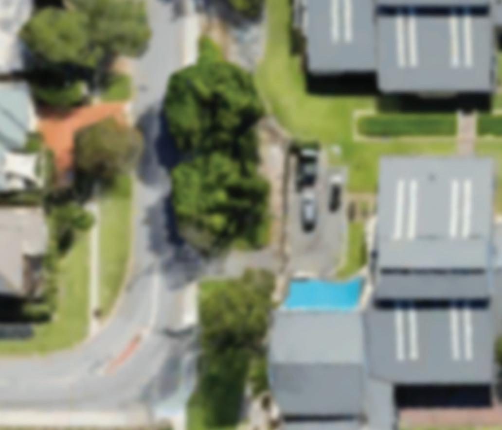
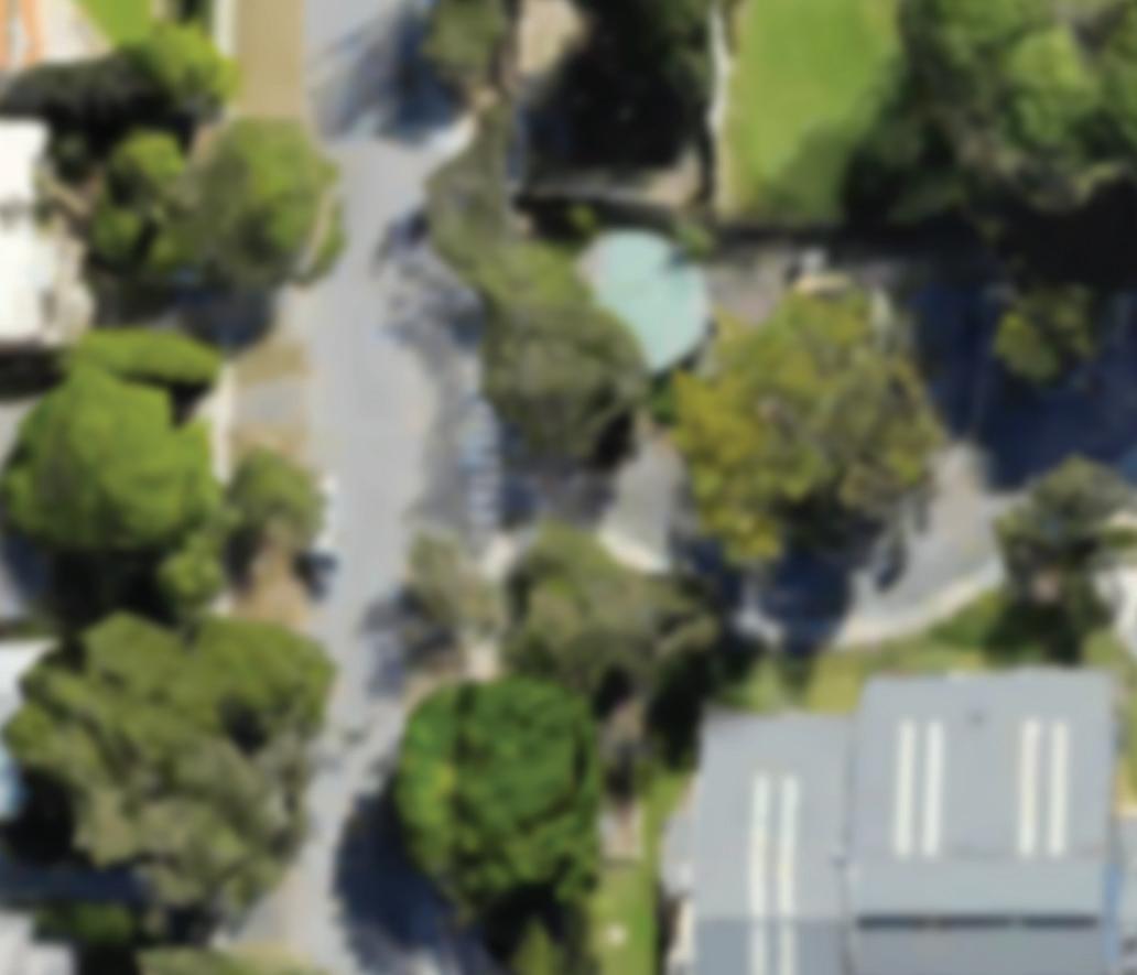
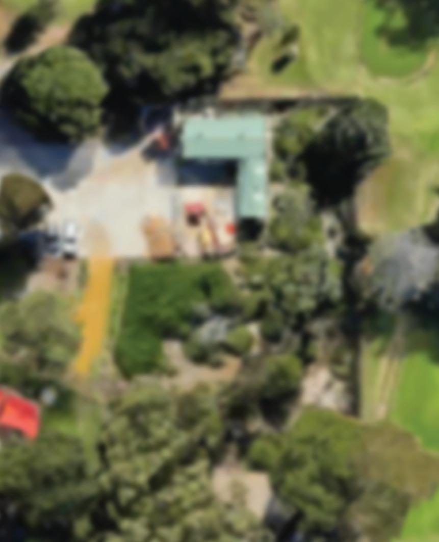
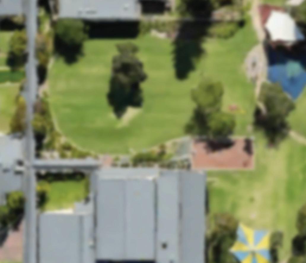
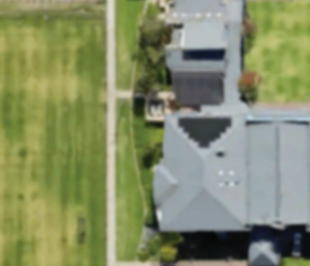
THE YEAR 5S WON A $2,560 DRONE AND PROGRAM PACKAGE The national ‘How Cool is your School’ competition is the brainchild of She Maps, a drone and geospatial education company that aims to get students learning mapping skills as early as possible. The competition asks students to calculate the percentage of shade infrastructure or green shady space at their school, then challenges them to come up with ways to make their school a little bit greener and a more inviting space to be in. Prizes for the best map that meets cartographic (mapping) conventions were awarded across two age groups, with St Hilda’s Year 5 students winning the Western Australian Sponsorship prize awarded by NGIS. She Maps received 573 entries from schools across Australia, so this was a tremendous eff ort from our Year 5s. HOW COOL IS YOUR SCHOOL? “We were thrilled to see the aerial view of the school that took full advantage of satellite imagery to map shade and of satellite imagery to map shade and coverage from trees and other buildings coverage from trees and other buildings around your school.” said NGIS. around your school.” said NGIS. The key showing areas of shade and The key showing areas of shade and direct sunlight made it clear and direct sunlight made it clear and simple for us to see these simple for us to see these areas, and every good areas, and every good map needs a key. In map needs a key. In addition to this, your addition to this, your use of supporting use of supporting charts to measure charts to measure shade coverage in shade coverage in percentages and percentages and also the attribution of also the attribution of the technologies and the technologies and techniques used to form techniques used to form your maps was outstanding your maps was outstanding and professional. and professional.

Advertisement