60
USA TODAY SPECIAL EDITION
TECHNOLOGY
DAVID ZALUBOWSKI/ASSOCIATED PRESS
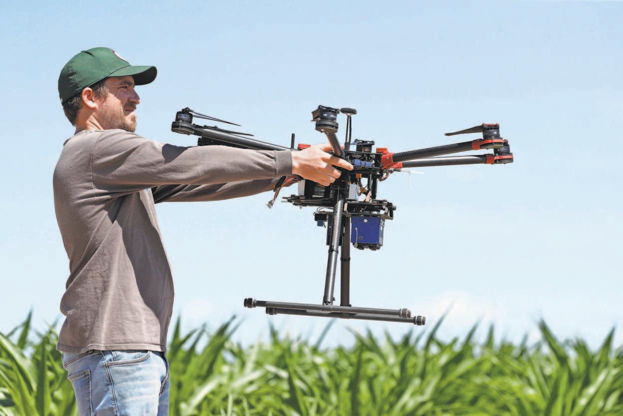
The USDA analyzes images captured by drones, including the one held by intern Alex Olsen, to monitor the irrigation levels required for crops planted along the Colorado River.
Irrigation Regulation Farmers, researchers use drones to help save endangered Colorado River
By Dan Elliott
A
DRONE SOARED OVER a
blazing hot cornfield in northeastern Colorado last July, snapping images with an infrared camera to help researchers decide how much water they would give the crops the next day. After a brief, snaking flight above the field, the drone landed and the researchers removed a handful of memory cards. Back at their computers, they analyzed the images for signs the corn was stressed from a lack of water. This U.S. Department of Agriculture (USDA) station outside Greeley, Colo., and other sites across the Southwest are
experimenting with drones, specialized cameras and other technology to squeeze the most out of every drop of water in the Colorado River — a vital but beleaguered waterway that serves an estimated 40 million people. Remote sensors measure soil moisture and relay the readings by Wi-Fi. Cellphone apps collect data from agricultural weather stations and calculate how much water different crops are consuming. Researchers deliberately cut back on water for some crops, trying to get the best harvest with the least amount of moisture — a practice called deficit irrigation. CONTI NUED

