4 minute read
Hurricane Season 2023: What to Know and How to Prepare
by Brie Gorecki
coast, it's not going to give us a water issue. Usually, it's just going to be more of a wind issue, and by the time it goes across the state, it's going to be a lot. So, an east coast storm is never really a storm that we're going to be nearly as concerned about as we would be with one coming in from the south or the west. The problem with the track coming in from the south is it requires a pretty sharp turn for it to come into our area. But the problem is—just a little subtle change in track when it's down around Cuba ends up being a 300- or 400-mile difference by the time it gets into the north.
The majority of the time, when the Hurricane Center is putting a forecast together … what they'll do is use what they call a blend of those two models, and that pretty much just means they average the two out and wherever the middle is, is what they go with. As it gets closer, at that point, you're using more accurate information; you're using more science-driven data.
TBPM: How can we help ease the minds of newcomers to Florida or friends and family who are out of state?
Although Tampa was lucky enough to narrowly miss Hurricane Ian’s path last year, we mourned with our neighbors to the south as we witnessed how catastrophically it hit them.
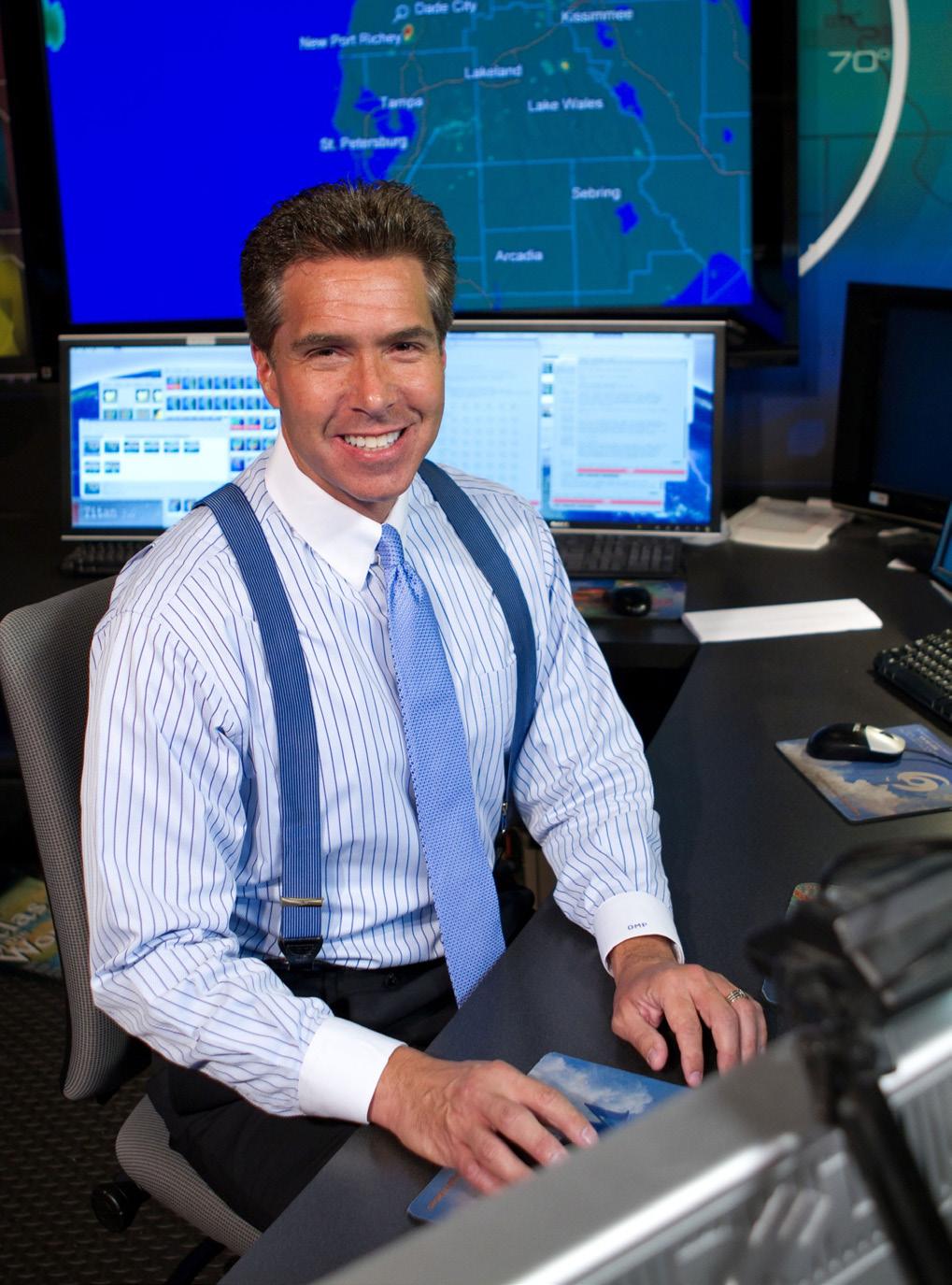
With hurricane season in full swing, the threat of potential storms is scary. Social media and TV graphics can be overwhelming. Though Tampa hasn’t had a major hurricane hit in 102 years, that’s not to say it won’t happen again. We spoke to chief meteorologist for ABC Action News, Denis Phillips, who explained what we should be looking at, what the spaghetti models mean, and why it’s important to pay close attention to local versus national news during a hurricane threat.
TBPM: People can get overwhelmed by the cone and overall visual area of the storm. What exactly should we be focusing on?
DP: People are going to look in the middle. You realize that the areas to the right or the left of the center are lower. Odds are they are. We know that the middle is where the center is, so that's probably where it's going to go.
I do think the important message is … when you have a storm coming in from the east
So, in looking at these forecast tracks, you truly need to look at the entire cone when you're talking about a storm in the Gulf of Mexico coming in from the South. When you're looking at a storm coming in from the Gulf, you really, truly have to prepare just as much. All three of those storms we've talked about … every single one of them had a Category 4 hurricane going directly into Tampa Bay or within the Bay Area, and all three were at least two hours south of us. Because it takes so long for them to make that change, by the time they make that turn, it's too late to do anything, and that's what happened with Fort Myers folks. They were expecting this storm to be more to Tampa.
TBPM: There are so many different models to look at when tracking a hurricane and the “spaghetti model” images can get confusing. What’s the best one to follow?
DP: The problem with models is they're just mathematical formulas. That's all they are. Sometimes the models get on runs like you do at the craps tables in Vegas and you just keep winning over and over again because, for whatever reason, it's really seeing the atmosphere very clearly. At that point, it's like when you're playing baseball and you're on a hot streak. The ball looks like a beach ball. That you just can't miss it. There are other times when you're in a slump and no matter what you do, you're not going to get it right. And the problem nowadays is there's so much information out there on social media that for the average person, it's going to be confusing because there's just too much.
I rarely tell people to look at models and try to determine where a storm's going to go because the models do drastically change so quickly.
DP: We know that during hurricane season, The Weather Channel and other national media sources say, ‘You better run’ and friends and family up north are calling and asking why you haven't evacuated. At the end of the day, the local channels and the local meteorologists know the geography. They know the sub climates; they know the little things that happen in their local area. And The Weather Channel just can't know that because they don't know the little subtleties of those areas. So, you have got to tell your family and your friends up north to follow whoever it is that you follow on a local scale, and that honestly is the way to keep your sanity.
TBPM: Is 2023 predicted to be an active season?
DP: We’re supposed to have fewer storms this year compared to previous years because we will be in El Niño at least by late summer and into the fall. And that tends to minimize the number of storms. But I would still argue that yes, there might be fewer, but that doesn't mean they're not going to be every bit as strong as they would be otherwise. And that's obviously what our concern is.
For an extended interview with Denis Phillips, his hurricane prep list, and his take on why Tampa has dodged major hurricanes since 1921, scan the QR code.


