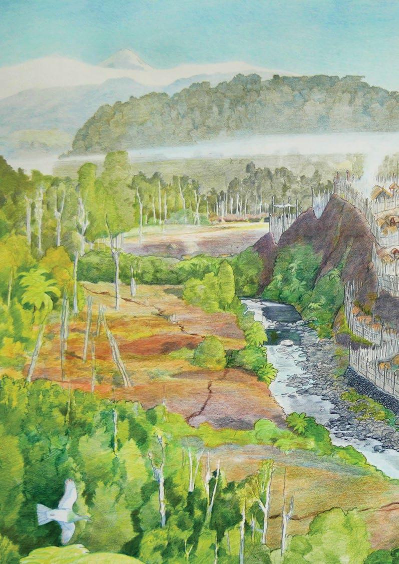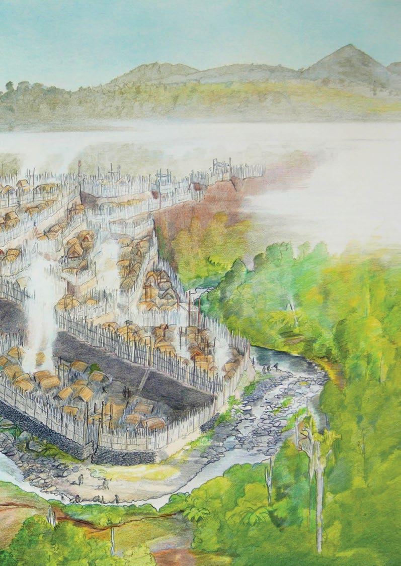
Reserves Management Plan 2019-2029
Taranaki Iwi Rautaki Tiaki Whenua
2 – Taranaki Iwi
Whenua – Reserves Management Plan 2019-2029 Taranaki Iwi Rautaki Tiaki Whenua Reserves Management Plan 2019-2029 Cover
1990
Rautaki Tiaki
Image: Te Koru. Chris Gaskin in Prickett,
1. He Mihi / Foreword
The Taranaki Iwi Rautaki Tiaki Whenua Reserves Management Plan 2019-2029 is developed at an exciting time in the history of Taranaki Iwi. It comes at a time when after over 30 years of Waitangi Tribunal and Treaty of Waitangi negotiation processes we are now in every sense responsible for actively managing the reserves named within his Plan.
Despite the history of confiscation in Taranaki Iwi our kaitiaki responsibilities have never ceased we have continued to exercise tino rangatiratanga over our traditional rohe through many of our hapū and marae pā communities. These mana whenua groupings form distinct functioning communities and are autonomous, independent and self-governing.
This Plan comes at time when our relationship with the Department of Conservation is less about Treaty rights and responsibilities and more about what is best for the reserves this Plan seeks to protect. While this Plan serves as a guidance on how to manage classified reserves within legislative parameters it also serves an aspirational purpose for future decision making. Taranaki Iwi will decide how to best preserve and protect and, how to bring stories and the voices of our tūpuna alive through these significant lands.
As we transition into a post Treaty settlement environment, the milestone of establishing an overarching plan to manage our reserves is essential. As we transition into a future of enhancing connections with our whenua the milestone of Taranaki Iwi recruiting its first ever Kaitiaki Whenua Ranger is a symbol of our enduring kaitiaki responsibilities.
Ahakoa i te pāhuatanga, ahakoa Taranaki whenua murua katoa ka iri te raupatu
E kore e pou he ika unahi nui
Hue hā! Hue hā!
Despite the plunder and confiscation and legacy of dispossession in Taranaki
We are like the scales of a great fish who will never be defeated
We are still here, we will always remain
Leanne Horo Chairperson
Te Kāhui o Taranaki
Taranaki Iwi Rautaki Tiaki Whenua – 3

1. Foreword 3 2. Introduction 6 3. Vision and Goals 8 3.1 Vision for Historic, Scientific and Local Purpose Reserves: 8 3.2 Goals for Classified Reserves: 8 3.3 Vision for Land Parcels not covered by the Reserves Act 1977: 8 3.4 Goals for Land Parcels not covered by the Reserves Act 1977: 8 4. Reserves and Freehold Legal Status 10 4.1 Location 10 4.2 Legal Description, Area and Classification 16 4.3 Legislative and Planning Context 14 4.4 Conservation Protocol 18 5. Characteristics and Natural Values 19 5.1 Access 19 5.2 Tenure 19 5.3 Topography 20 5.4 Geology 20 5.5 Climate 22 5.6 Flora; Native and Endemic Species 23 5.7 Fauna and Protected Species 24 5.8 Adjoining land use 24 6. History of the Rohe and Iconic Historic Reserves 25 6.1 Statement of Association for the Coastal Areas/Reserves 26 6.2 Ngāturi Pā/Ōmata Stockade 27 6.3 Tapuīnikau Pā 29 6.4 Tataraimaka Pā 33 6.5 Te Koru Pā 36 7. Management Challenges and Responses 40 7.1 Historic and Cultural Values 40 7.2 Fencing 40 7.3 Access 40 7.4 Information Services 40 7.5 Grazing 41 7.6 Regeneration on sensitive Archaeological Sites 41 7.7 Plant Pests 41 7.8 Animal Pests 41 7.9 Coastal Erosion and Encroachment 42 7.10 Other Threats 42 7.11 Potential Additions 43 Contents

8. Management Objectives and Policies 43 8.1 Administration, Governance and Management 43 8.2 Reserve Boundary and Fencing 44 8.3 Coastal Erosion, Encroachment and Risk Management 45 8.4 Identification and Preservation of Wāhi Tapu/Taonga 46 8.5 Adjacent Land Use 47 8.6 Interpretation 48 8.7 Recreation Use 48 8.8 Tourism Development 49 8.9 Buildings and Structures 50 8.10 Research, Works and Excavation 50 8.11 Plant Pests 51 8.12 Animal Pests 51 8.13 Fire 51 8.14 Grazing 52 8.15 Camping 52 8.16 Development of Non-classified Properties 53 9. Plan Amendment and Review 54 10. Bylaws 54 10.1 Fire 54 10.2 Camping 54 11. Glossary 55 12. References 56 13. Appendices 57 13.1a Section 18, Reserves Act 1977 – Historic Reserves 57 13.1b Section 21, Reserves Act 1977 – Scientific Reserves 57 13.1c Section 23, Reserves Act 1977 – Local Purpose Reserves 58 13.1d Section 24, Reserves Act 1977 - Change of classification 59 or purpose or revocation of reserves 13.2 Conservation Protocol – Taranaki Iwi and 60 Department of Conservation Schedule 1 Summary of Terms of Issue 67 Te Kāhui o Taranaki Land Inventory for 68 Reserve Management Plan 2019-2029
2. Introduction
This Management Plan provides guidance for the control and development of Taranaki Iwi Claims Settlement Act 2016 lands including 15 reserves administered by Te Kāhui o Taranaki under the Reserves Act 1977 and 14 land parcels held in freehold title by Te Kāhui o Taranaki on behalf of Taranaki iwi (refer to the supporting document: Land Inventory - Schedule 2 Te Kāhui o Taranaki Settlement).
Thirteen of the reserves are historic reserves. This means they are classified and retained “for the purpose of protecting and preserving in perpetuity such places, objects, and natural features, and such things thereon or therein contained as are of historic, archaeological, cultural, educational, and other special interest.”
(Reserves Act 1977)
One is classified as a scientific reserve. This means it is classified and retained “for the purpose of protecting and preserving in perpetuity for scientific study, research, education, and the benefit of the country, ecological associations, plant or animal communities, types of soil, geomorphological phenomena, and like matters of special interest.” (Reserves Act 1977)
One is classified as a local purpose reserve. This means it is classified and retained “for the purpose of providing and retaining areas for such local purpose or purposes as are specified in any classification of the reserve.” (Reserves Act 1977) Waireka Local Purpose Reserve is designated as ‘Foreshore’.
Fourteen properties are held freehold by Te Kāhui o Taranaki. As these properties are held in fee simple (freehold) they are only limited by relevant property law and encumbrances on their titles in the way of drainage, pipelines, etc.
This Plan has legal status under the Reserves Act 1977 where it applies to 15 reserves, and Te Kāhui o Taranaki is the administering authority for the reserves under that Act.
These fifteen reserves have come under the control of Te Kāhui o Taranaki via the Treaty of Waitangi settlement process. This process requires that the classified reserves are administered and managed according to the Reserves Act 1977. The broader term ‘reserves’ has been used in this plan to encompass all the land parcels returned after the Treaty of Waitangi Settlement and contained in Schedule 2 of the Taranaki Iwi Claims Settlement Act 2016. In effect, the properties covered by this management plan can be considered indigenous reserve land. All of these land parcels will be managed as protected areas with high natural, cultural and historic values, some of which are administered under the Reserves Act, with the freehold parcels aiming for similar significance.
6 – Taranaki Iwi
Whenua – Reserves Management Plan 2019-2029
Rautaki Tiaki
The values referred to in this plan contain both tangible values (for example - ecology, topography) as well as intangible values (for example - historical context, spiritual).
The management objectives in section 8 of this plan are aspirational. The policies (actions) under each of the objectives are designed to achieve these aspirations. All of the properties will be managed within the relevant legislation, whether it be the Reserves Act 1977, the Taranaki Iwi Claims Settlement Act 2016, Heritage New Zealand Pouhere Taonga Act 2014, the Resource Management 1991, the Conservation Act 1987, or any other law that applies.
This plan is not a replacement for face to face dialogue with Taranaki Iwi hapū, marae and pā. Local and central government, developers and other resource consent applicants should refer to Taiao, Taiora, our Environmental Management Plan, to inform their project discussions with Taranaki Iwi. Engagement with Taranaki Iwi should start with the Trust, Te Kāhui o Taranaki. Kōrero with representatives of local hapū or marae will also need to occur for activities that will take place in or affect specific parts of the rohe.
Taranaki Iwi marae/pā, hapū and whānau exercise mana whenua and mana moana within the Taranaki rohe (area of interest) and have been kaitiaki (guardians) of the whenua (land) and moana (ocean) within the Taranaki rohe for generations. As kaitiaki we have inherent responsibilities to preserve and protect our whenua, moana and taonga. This relationship continues to this day and will continue for generations to come. This Reserves Management Plan, along with the Taranaki Iwi Environmental Plan – Taiao, Taiora, was prepared by Te Kāhui o Taranaki with tangata whenua of Taranaki Iwi to assist us in our collective role as kaitiaki. The role of Te Kāhui o Taranaki is to support the autonomous, independent and self-governing role of marae/pā and hapū. For the purpose of this plan reference to Taranaki Iwi having mana whenua and kaitiaki status, will not exclude or diminish the historical, traditional practises, rights and responsibilities of marae/pā and hapū.
Taranaki Iwi Rautaki Tiaki Whenua – 7
3. Vision and Goals
The overarching vision for this reserve management plan is guided by the Taranaki Iwi Vision for Environmental Management;
Taiao, Taiora
Ko te oranga o te whenua
Ko te oranga o te tangata
The Health of the Environment is the Health of the People
Together with the underlying Principles of Taiao, Taiora:
i. Taranaki rohe will be a place that supports and sustains the needs of ngā uri o Taranaki culturally, spiritually, and economically. A place for the people of Taranaki Iwi to live, grow, and thrive together like our ancestors before us;
ii. Taranaki Iwi are kaitiaki of the Taranaki rohe. Current and future generations of Taranaki Iwi will actively work to improve the land over which they own and assert Mana Whenua. Taranaki Iwi will walk the talk with leadership by action and advocate for enhancing the environment in our rohe. In some cases, this may mean getting involved in matters outside of our rohe where those matters will have an effect on the environment within it.
iii. The people of Taranaki Iwi will seek to live in a manner that sustains and is in harmony with the environment and its mouri for the wellbeing of the people.
iv. Taranaki Iwi acknowledges that achieving environmental outcomes from current activities will not always be immediate. Taranaki Iwi do expect that all activities be actively managed with the goal of reducing and where possible, avoiding any adverse environmental effects associated with those activities.
v. Taranaki Iwi will oppose actions that clearly lead to adverse, irreversible and unacceptable impacts on the environment and its mouri.
3.1 Vision for Historic, Scientific and Local Purpose Reserves
The reserves addressed by this management plan are actively managed to preserve the historic, cultural, archaeological, scientific, spiritual and conservation values allowing for compatible recreation and tourism activities.
3.2 Goals for Classified Reserves:
1. The relationship between tangata whenua and each reserve is acknowledged.
2. Constructively addressing the tension between the preservation of the historic, cultural and archaeological values and the regeneration and conservation of the natural values of the reserves will be a key consideration in all planning for, management and development of, the reserves.
3. Each reserve is managed to meet its primary purpose under the Reserves Act, and its meaning and importance for Taranaki Iwi is conserved and interpreted.
4. Sustaining the character and values of each reserve is a key management principle.
5. Considering that the primary purposes of the reserves are to manage historic, scientific and foreshore values, public access will be limited and controlled, and access to sensitive cultural and natural areas will be restricted.
3.3 Vision for Land Parcels not covered by the Reserves Act
1977:
These properties are actively managed to maintain high natural and cultural values where they exist and their future potential is not compromised.
3.4 Goals for Land Parcels not covered by the Reserves
Act 1977:
1. The natural and cultural values of the sites will be enhanced where possible and threats will be minimised.
2. Where conflict over the use of these properties arises, the maintenance and enhancement of natural values have the highest priority, along with the values of recognised historical and cultural heritage sites.
3. Any land acquired by Te Kāhui o Taranaki to be administered according to this management plan will be assessed for its values and a primary purpose assigned, and then managed accordingly until this management plan is reviewed and all new reserves are incorporated specifically.
8 – Taranaki Iwi Rautaki Tiaki Whenua – Reserves Management Plan 2019-2029
4. Reserves and Freehold Legal Status
4.1 Location
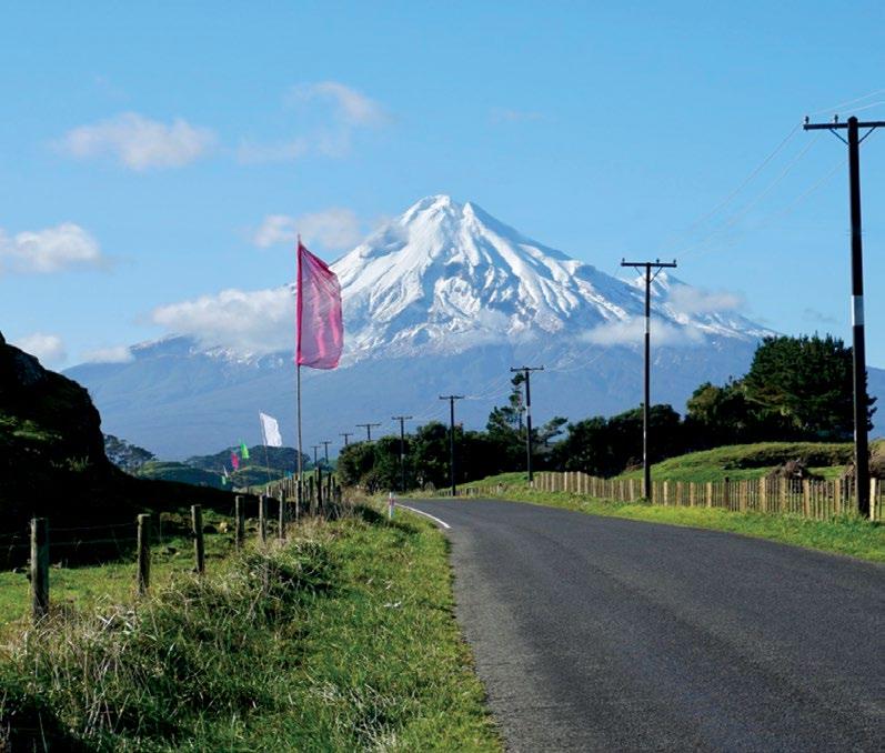
All 29 reserves sit within the rohe of Te Kāhui o Taranaki. Many are located along the coast, with some adjacent to State Highway 45 and three are on the upper farmland west of Taranaki Mounga.
10 –
Iwi
Whenua – Reserves Management Plan 2019-2029
Taranaki
Rautaki Tiaki
Ngaturi Pa/Omata Stockade Historic Reserve
Waireka Local Purpose (Foreshore) Reserve
Tataraimaka Pa Historic Reserve
Maitahi Scientific Reserve
Puniho
New Plymouth
Waireka Historic Reserve
Oakura Coast Historic Reserve
Te Koru Pa Historic Reserve
Okato Coast Historic Reserve
Okato Coast Historic Reserve
Warea A
Warea B
Tapuinikau Pa Historic Reserve
Pungarehu Coast Historic Reserve
Pungarehu
Pungarehu Coast Historic Reserve
Cape Egmont Lighthouse
Pungarehu Coast Historic Reserve
Cape Egmont Site A
Rahotu A
Rahotu B
Kahui B
Kahui A
Okahu Historic Reserve
Manihi Road
Rahotu C
Oaonui Historic Reserve
Opunake Coast Historic Reserve
Orimupiko Historic Reserve
Opunake A
Arawhata
Taranaki Iwi Area of Interest
4.2 Legal Description, Area and Classification
The land parcels contained in this omnibus reserves management plan were returned to Taranaki Iwi as part of the Taranaki Iwi Claims Settlement Act 2016 and are contained in Schedule 2 of the Act.
12 – Taranaki Iwi
Whenua – Reserves Management Plan 2019-2029
Rautaki Tiaki
Name Legal Description Classification Annotations/Encumbrances Size (Ha) Arawhata Sect 26 and 27 Block III Opunake SD Fee simple Wetland. Subject to unregistered research permits, some under Wildlife Act. 0.7879 Cape Egmont Lighthouse Lot 1 DP 20742 Fee simple Subject to lease to Maritime NZ – 999 years commencing on 23rd Feb 2017. The adjacent Recreation Reserve and Conservation Area have both been subsequently purchased by Te Kāhui o Taranaki. 0.4518 Cape Egmont site A Sect 1 SO 495006 Fee simple Nil. 0.4020 Kahui site A Sect 2 SO 497086 Fee simple Unregistered occupation by Taranaki Civil Defence Radio Repeater. Subject to unregistered research permits, some under Wildlife Act. 0.8439 Kahui site B Lot DP 6423 and DP 1993 Fee simple Nil. 1.0577 Maitahi Scientific Reserve Sect 10 SO 495008 Fee simple, scientific reserve, administered according to Reserves Act 1977 Subject to unregistered research permits, some under Wildlife Act. 0.7874 Manihi Historic Reserve Sect 2 SO 500023 Fee simple, historic reserve, administered according to Reserves Act 1977 Casual grazing. Subject to unregistered research permits, some under Wildlife Act. Parts of section 24 (Marginal Strips) of the Conservation Act 1987 do not apply. 0.0143 Ngāturi Pā/Ōmata Stockade Lot 1 DP 13274 Fee simple, historic reserve, administered according to Reserves Act 1977 Casual grazing. Subject to unregistered research permits, some under Wildlife Act. An iconic historic site. 0.4799 Ōākura Coast Historic Reserve Sect 1 SO 495009 Fee simple, historic reserve, administered according to Reserves Act 1977 Actively eroding. Casual grazing. Subject to unregistered research permits, some under Wildlife Act. Parts of section 24 (Marginal Strips) of the Conservation Act 1987 do not apply. 5.7200
marginal strip. Some casual grazing. Subject to unregistered research permits, some under Wildlife Act. Parts of section 24 (Marginal Strips) of
Taranaki Iwi Rautaki Tiaki Whenua – 13 Name Legal Description Classification Annotations/Encumbrances Size (Ha) Ōāonui Historic Reserve Lot 3 DP 12925 Fee simple, historic reserve, administered according to Reserves Act 1977 Mobile duneland. Subject to unregistered research permits, some under Wildlife Act. Easement for Shell Todd pipeline. 16.5554 Okahu Historic Reserve Sect 1 SO 500023 Fee simple, historic reserve, administered according to Reserves Act 1977 Landlocked inside stream oxbow.
Wildlife Act. Parts
section 24 (Marginal Strips)
the Conservation Act 1987 do not apply. 0.3533 Ōkato Coast Historic Reserve Sect 1, 2, 3, 4, 5, 6, 7 and 9 SO 495008 Fee simple, historic reserve,
according to Reserves Act 1977
Conservation
1987
10.1272 Opunake site A Sect 1 SO 489951 Fee simple Residential section. Subject to
research permits,
Wildlife Act. Easement in
corner for storm water. 0.1066 Opunake Coast Historic Reserve (Opunake site B) Pt sect 1 Opunake Suburban Fee simple, historic reserve, administered according to Reserves Act 1977
eroding
for walking access,
and sewage pipes and drainage. 2.0 Ōrimupiko/ Headlands site A Sect 1 SO 502723 Fee simple Farmlands, casual grazing. Easement on eastern sector for walking access (STDC). 14.2400 Ōrimupiko Historic Reserve (Headlands site B) Sect 2 & 3 SO 502723 Fee simple, historic reserve, administered according to Reserves Act 1977 Actively eroding
strip.
(STDC). Subject to unregistered
to occupy. 3.5384 Ōrimupiko Historic Reserve (Headlands site B) Sect 2 & 3 SO 502723 Fee simple, historic reserve, administered according to Reserves Act 1977 Actively eroding
strip.
to occupy. 3.5384
Subject to unregistered research permits, some under
of
of
administered
Coastal
the
Act
do not apply.
unregistered
some under
SE
Actively
coastal marginal strip. Subject to unregistered research permits, some under Wildlife Act. Easements
stormwater
coastal marginal
Easement through reserve for walking access
licence
coastal marginal
Easement through reserve for walking access (STDC). Subject to unregistered licence
4.2 Legal Description, Area and Classification Continued
do not apply. Subject to unregistered research permits, some under Wildlife
14 – Taranaki Iwi Rautaki Tiaki Whenua – Reserves Management Plan 2019-2029 Name Legal Description Classification Annotations/Encumbrances Size (Ha) Pungarehu · Sect 125 Block VII Cape Survey District · Sect 139 Block VIII Cape Survey District Fee simple Nil. · 1.0168 ·0.2770 Pungarehu Coast Historic Reserve (Cape Egmont site B) Sects 2, 3, 4, 6, 7, 8, 10, 11, 13, 16, 19, 21, 23, 24, 26 and 28 SO 465006 Fee simple, historic reserve, administered according to Reserves Act 1977 Coastal marginal strip, eroding in part. Parts of section 24 (Marginal Strips) of the Conservation Act 1987 do not apply. 13.7701 Puniho Sect 10 Block V Cape Survey District Fee simple Casual grazing. 0.3177 Rahotu site A Sect 1 SO 495021 Fee simple Weed impacted, casual grazing in part. 0.2052 Rahotu site B Pt sect 62 Block XII Cape Survey District Fee simple Used as farm race, casual grazing. 0.1639 Rahotu site C Sect 14 Block V Opunake Survey District Fee simple Pine block, casual grazing. State Highway 45 adjoining. 0.8094 Tapuīnikau Pā Historic Reserve Lot 1 DP 12237 Tapuīnikau A Fee simple, historic reserve, administered according to Reserves Act 1977
Conservation Act 1987
An iconic historic site. 2.4300 1.0749
Parts of section 24 (Marginal Strips) of the
Act.
For more detail on these properties refer to the supporting document for this plan - Land InventorySchedule 2 Te Kāhui o Taranaki Settlement. A separate management plan will be developed for Ngā Motu.
Taranaki Iwi Rautaki Tiaki Whenua – 15 Name Legal Description Classification Annotations/Encumbrances Size (Ha) Tataraimaka Pā Historic Reserve Sect 1 SO 495012 Fee simple, historic reserve, administered according to Reserves Act 1977 Parts of section 24 (Marginal Strips) of the Conservation Act 1987 do not apply. Subject to unregistered research permits, some under Wildlife Act. An iconic historic site. 0.7397 Te Koru Pā Historic Reserve • Sect 1 SO 494368 Sect 2 SO 494368 Fee simple, historic reserve, administered according to Reserves Act 1977 Parts of section 24 (Marginal Strips) of the Conservation Act 1987 do not apply. Subject to unregistered research permits, some under Wildlife Act. An iconic historic site. • 1.7371 • 0.9670 Waireka Historic Reserve (Sutton Road site A) Sect 2 SO 495010 Fee simple, historic reserve, administered according to Reserves Act 1977 Partly eroding coastal marginal strip. Parts of section 24 (Marginal Strips) of the Conservation Act 1987 do not apply. Subject to unregistered research permits, some under Wildlife Act. 1.7600 Waireka Local Purpose (Foreshore) Reserve (Sutton Road site B) Sect 1 SO 495010 Fee simple, local purpose (foreshore) reserve, administered according to Reserves Act 1977 Partly eroding coastal marginal strip. Subject to unregistered research permits, some under Wildlife Act. 0.6330 Warea site A Sect 23 Block IV Cape Survey District Fee simple Casual grazing. 0.5236 Warea site B Sect 1 SO 494413 Fee simple Casual grazing. 0.5659
4.3 Legislative and Planning Context
There are four key pieces of legislation for directing the management of the reserves;
• Taranaki Iwi Claims Settlement Act 2016, which identifies and enacts the transfer of the land parcels to Te Kāhui o Taranaki, all in fee simple.
• The Reserves Act 1977, which impels the preservation and protection of the reserves classified under the Act. For these parcels there are three relevant types of classified reserves; Historic, Scientific and Local Purpose (Foreshore). The excerpts from the Act relating to the primary purpose for these reserves are in the Appendices. Section 41 of the Reserves Act also binds Te Kāhui o Taranaki to prepare a management plan for these reserves within 5 years of the date of appointment. The following reserves are classified reserves that are regulated by the requirements of this Act;
° Historic Reserves (13)
Manihi Historic Reserve
Ngāturi Pā/Ōmata Stockade Historic Reserve*
Ōākura Coast Historic Reserve
Ōāonui Historic Reserve
Okahu Historic Reserve
Ōkato Coast Historic Reserve
Opunake Coast Historic Reserve
Ōrimupiko Historic Reserve
Pungarehu Coast Historic Reserve
Tapuīnikau Pā Historic Reserve*
Tataraimaka Pā Historic Reserve
Te Koru Pā Historic Reserve*
Waireka Historic Reserve
° Local Purpose Reserve (1)
Waireka Local Purpose Reserve (Foreshore)
° Scientific Reserve (1)
Maitahi Scientific Reserve
The section from the Reserves Act 1977 on the change of classification or the change of purpose, or the revocation of classification, is also included in the Appendices, should this be considered during the duration of this plan.
• The historic, archaeological and cultural aspects of all of the land parcels are covered by the Heritage New Zealand Pouhere Taonga Act 2014. The purpose of this Act is to promote the identification, protection, preservation, and conservation of the historical and cultural heritage of New Zealand. This Act has specific application to the classified Historic Reserves and requires the authority of Heritage New Zealand for any work on recorded and unrecorded archaeological sites in any location. The 3 reserves marked with an asterisk (*) above, along with Cape Egmont Lighthouse, are listed with HNZPT. More information is available on the Heritage New Zealand Pouhere Taonga website.
16 –
Iwi
–
Management Plan 2019-2029
Taranaki
Rautaki Tiaki Whenua
Reserves
• The Conservation Act 1987. As all of the properties covered in this plan are held in fee simple title by Te Kāhui o Taranaki, the Conservation Act is only for general guidance in the management of conservation areas. It should be noted that many of the clauses in section 24 of the Act relating to marginal strips and their management have been lifted in relation to the classified reserves in this plan.
• The Resource Management Act 1991 to assist in, and promote, the sustainable management of natural and physical resources. Any physical works on the reserves is likely to require a consent under the Resource Management Act.
In addition to the broad obligations of meeting the requirements of the Taranaki Regional Council Plans for Freshwater Land, (Coast) and Air, the regional council has established a process for identifying Key Native Ecosystems (KNE), which is a voluntary non-statutory system of protection for regionally significant land, flora and/or fauna. Joining the scheme allows landowners to access planning and advice on management of these sensitive areas.
What makes key native ecosystems regionally significant?
Key Native Ecosystems are regionally significant because they are:
• home to threatened or regionally distinctive indigenous plant and animal species, or
• representative of originally rare ecosystems and indigenous vegetation now much reduced from its original extent (<10 or 20%), and/or
• connect or buffer other sites of value, or provide seasonal or core habitat for threatened species.
Taranaki Regional Council
Currently none of our reserves have KNE status. Discussions and initial assessments have begun to look at establishing the Tataraimaka, Tapuīnikau and Te Koru Reserves as KNEs. This Reserves Management Plan directs the level of involvement we will have in establishing KNEs. Refer to objective 8.4.b and policies 8.4.3 to 8.4.6.
Ōāonui Historic Reserve is designated a Significant Natural Area (SNA) under the South Taranaki District Plan (sec 2.01.12). The District Plan objectives and policies are consistent with the direction of this Reserve Management Plan. The opportunity exists to more clearly define the status and significance of the Ōāonui Historic Reserve when the South Taranaki District Plan comes up for review.
For all of the historical and cultural sites, the principles of the International Council on Monuments and Sites (ICOMOS) for the Conservation of Places of Cultural Heritage Values will provide guidelines for the management of these reserves.
Taranaki Iwi Rautaki Tiaki Whenua – 17
4.4 Conservation Protocol
As an outcome of section 26 of the Taranaki Iwi Claims Settlement Act 2016, a Conservation Protocol was established between the Minister of Conservation and Taranaki Iwi. This protocol outlined the following topics and arrangements of mutual benefit between Iwi and the Department of Conservation around:
• Communication
• Visitor and Public Information
• Cultural Materials
• Marine Mammals
• Freshwater Fisheries
• Sites of Significance
• National Programmes
• Pest Control
• Resource Management Act 1991
• Business and Management Planning
• Overarching Management Plan
• Concession Applications
• Consultation
• Contracting for Services, and
• A protocol review process
For the purposes of this plan, all of these protocols will be followed. The Conservation Protocol is included in the Appendices.
18 –
2019-2029
Taranaki Iwi Rautaki Tiaki Whenua – Reserves Management Plan
5.
Characteristics and Natural Values
More details for this section are contained in the supporting document - Land Inventory - Schedule 2 Te Kāhui o Taranaki Settlement.
5.1 Access
The majority of the reserves and properties have direct access from legal roads. However some are landlocked and some, particularly the coastal strips, have problematic access due to limited legal public access, coastal erosion and encroachment, unauthorised structures, fences and buildings plus the informal use of sites for casual grazing.
It should be noted here that public access to the clifftops on several reserves is not desirable as there is active erosion and steep friable cliffs that are dangerous. Access to these areas should be limited for management purposes only – for example, for animal and plants pest control work.
Those reserves that are land locked are;
• Manihi Historic Reserve – Albert’s Grave
• Okahu Historic Reserve – access only over adjacent farmer’s race
• Tapuīnikau Historic Reserve – an informal agreement for access across adjacent farmland has lapsed.
Access to these reserves will need to be formalised – refer to management policy 8.5.2. And the reserves that have limited access or are difficult to access are;
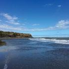
• Maitahi Scientific Reserve – access only via the beach/coast
• Ōākura Historic Reserve – difficult access to portion of the clifftops
• Ōkato Historic Reserve – parts of clifftops inaccessible, private land adjacent
• Pungarehu Historic Reserves – some southern sections of the reserve, between Cape and Tipoka Roads, are only accessible either from the unformed legal road (Coast Road) or the seaward side.
• Waireka Historic Reserve – access to the (southern) boundary on the clifftops is across a legal (partially unformed) public road – Sutton Road.
• Waireka Local Purpose Reserve – access to the (northern) boundary on the clifftops is across a legal (partially unformed) public road – Sutton Road. Access to these reserves will need to be clarified, including provision for public safety –refer to management objectives 8.1.e, 8.3.a, 8.4c and their related policies.
5.2 Tenure
As all land parcels granted to Te Kāhui o Taranaki under the Settlement Act – whether classified reserves under the Reserves Act 1977 or not - are held in Fee Simple (freehold), tenure is guaranteed.
As noted, most of the restrictions around marginal strips from the Conservation Act 1987 have been lifted for these land parcels. Apart from easements for pipelines and drainage, and the lease on the Cape Egmont Lighthouse (as listed in section 4.2), the titles for these parcels are unencumbered. Some of the final certificates-of-title are still to be released by the Office of Treaty Settlements.
Taranaki Iwi Rautaki Tiaki Whenua – 19
5.3 Topography
The land parcels in this plan range from the coast to 330m above sea level (ASL) on the western slopes of Taranaki Mounga, although only Kahui A and B and Arawhata are above 100 m ASL.
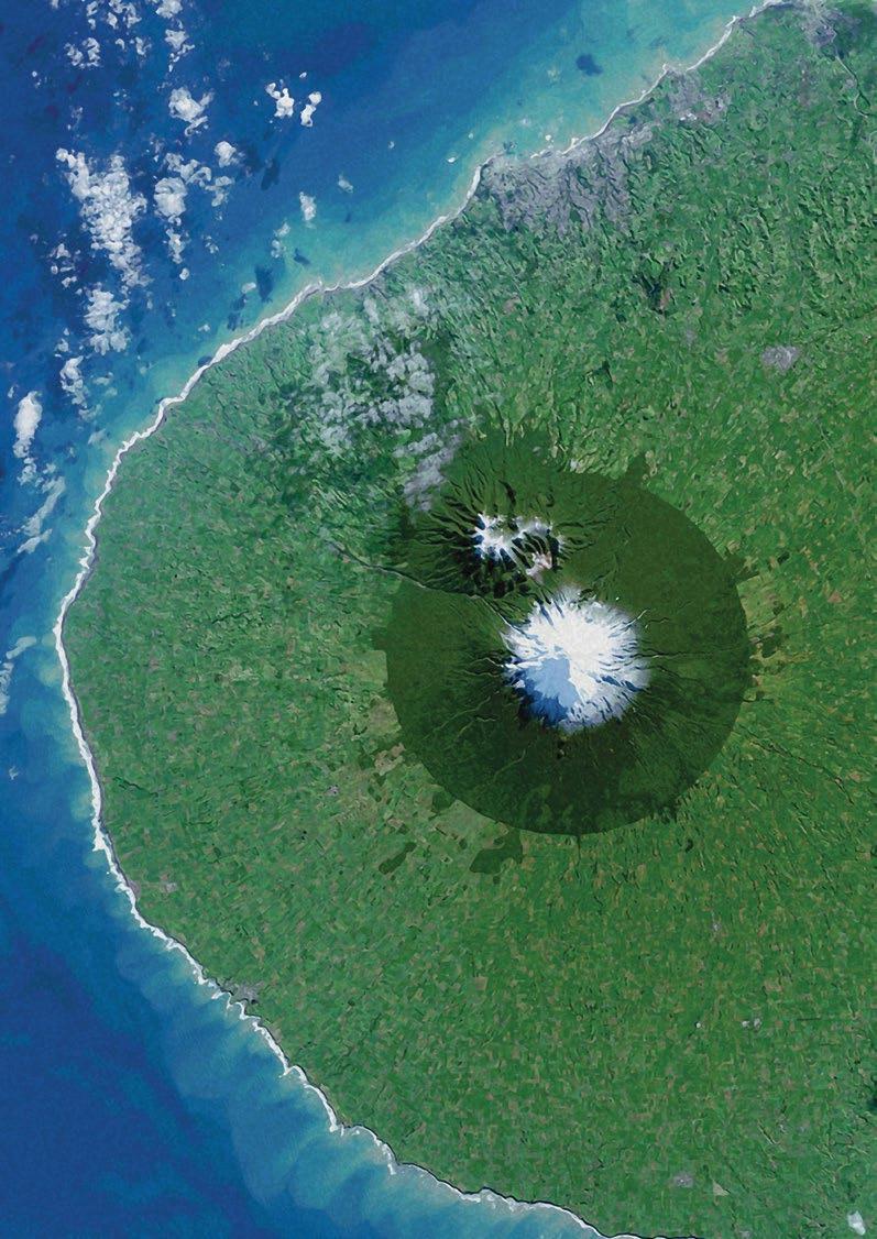
The district is contoured from the boundary of Egmont National Park, down and westward, in a gentle gradient covered in lahar mounds from previous volcanic activity, and all settlement lands are located on this relatively gentle terrain.
5.4 Geology
“The western 1500 km2 of Taranaki is a volcanic landscape that has been constructed from the products of volcanic eruptions principally derived from Mt Taranaki/Egmont (hereafter referred to as Egmont Volcano). Egmont Volcano last erupted about 200 years ago at the culmination of eight eruptions in the preceding 300 years. Deposits around the base of the Volcano record intermittent volcanic activity at this site for the last 130,000 years. Whilst the eruptions have not occurred at regular intervals there has been a moderate or major sized eruption on average every 340 years with numerous smaller events at more frequent intervals. There is therefore no evidence to suggest Egmont Volcano has finally ceased erupting and has become extinct. Rather it must be regarded as an active volcano in a state of quiescence and is one of a number of volcanoes in New Zealand where future eruptions are to be expected. Egmont Volcano is of the “slumbering” type that could begin renewed activity in the next 100 years.” (Neall, Alloway, 1993)
The hazards posed by the potential volcanic activity over ground consists of “lava flows and lava domes, pyroclastic flows and lateral blasts, landslides, lahars (or volcanic mud and debris flows) and associated floods.” The airborne hazard “comprises principally particles of ash, stones and pumice which are collectively called tephra, and the danger from volcanic gases which may be toxic.”
For further reference to volcanic activity and the potential threat refer to https://www.gns.cri.nz/Home/Learning/ScienceTopics/Volcanoes/New-Zealand-Volcanoes/Volcano-Geologyand-Hazards/Taranaki-Egmont-Volcano-Geology
20 – Taranaki Iwi
Whenua – Reserves Management Plan 2019-2029
Rautaki Tiaki
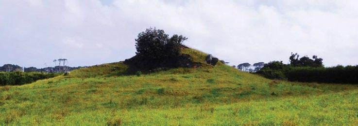
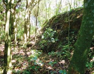
Image top: Manihi Historic Reserve, a lahar mound with Albert’s Grave on top.
The geological deposits are generally;
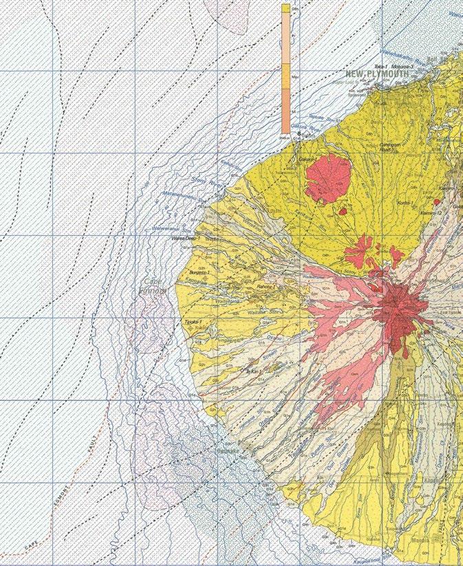
• Around the Kaitake Range and south to Hangatahua (Stony River) predominantly river gravels and sand deposits (Q1a, Q2a and Q8h)
• From Hangatahua to Pungaereere Stream is the Warea formation of volcaniclastic, pyroclastic and flood deposits (Q2h, with some Q1h)
• South of Pungaereere Stream is the volcaniclastic, pyroclastic and flood deposits of the Opua formation (Q1h).
Apart from the surface volcanic features, the rohe is traversed by fault-lines, typically running north-east to south-west.
Taranaki Iwi Rautaki Tiaki Whenua – 21
Graphics: IGNS; Taranaki Geological Map 1:250,000 Map 7 (2008)
Taranaki Median Annual Total Rainfall
5.5 Climate
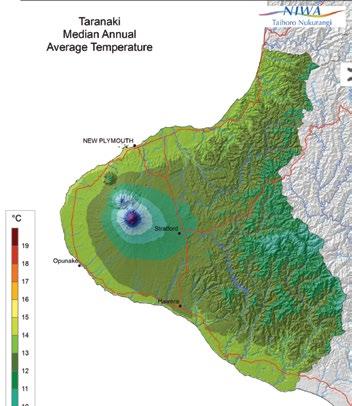
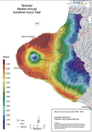
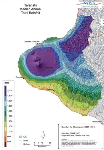
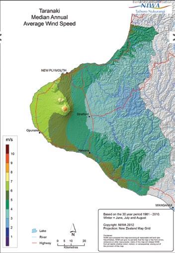
“The predominant westerly airstream makes the Taranaki region one of the windiest in New Zealand. Taranaki is therefore generally a sunny, windy region with a good supply of evenly distributed rainfall and moderate temperatures. Except at higher elevations, snow and hail are rare occurrences, and fogs occur most frequently in areas away from the coast. The climate and soils are well suited for the intensive dairy production of the region, although moisture deficiency during most summer months limits pasture production for a time.” (Chappell, NIWA, 2014)
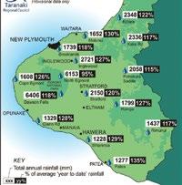
The rohe receives between 1.2 and 2 metres of rainfall each year, increasing as the altitude increases eastwards towards the mounga, as the statistics for January to November for 2017 (Taranaki Regional Council) and NIWA indicate.
Taranaki Median Annual Sunshine Hours Total
Taranaki Median Annual Average Temperature docs.niwa.co.nz/library/public/NIWAsts64.pdf


22 –
Taranaki Iwi Rautaki Tiaki Whenua – Reserves Management Plan 2019-2029
www.niwa.co.nz/climate/nationaland-regional-climate-maps/taranaki
Flora; Native and Endemic Species
Maitahi Scientific Reserve has the rarest remainder of coastal forest out of all the reserves and properties in this plan. This reserve also contains the national critically threatened koheriki (Scandia rosifolia). The important natural values of these species warrant the protection and status of the scientific reserve. Many of the coastal reserves retain some vestige of native herbs, shrubs and bush, which should continue to regenerate inland as the coastal erosion and encroachment continues.
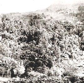
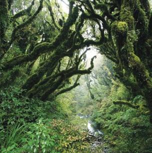
However, with the exception of Maitahi Scientific Reserve and the coastal reserves, the flora on all the other properties is secondary regrowth from the past century or so. Te Koru Pā has experienced substantial regrowth of native flora, as the photo from Best (1927) indicates (below).
www.trc.govt.nz/environment/ maps-and-data/monthly-rainfall/ november-2017-rainfall/
Note the substantial amount of ponga (sp. Cyathea) present. This, along with the juvenile stages of other species, would suggest an early stage of the reestablishment of the bush cover.
Ōrimupiko Historic Reserve has received planting of native species along a small portion of the walkway. Okahu Historic Reserve and the Rahotu C property have pine trees which inhibit the regrowth of native species and will require removal.
The Arawhata property is a wetland previously used for obtaining dye for mahinga toi. The rest of the settlement properties, which are not reserves, do not hold any native flora of consequence, as they are in pasture and/or impacted by weeds.
Taranaki Iwi Rautaki Tiaki Whenua – 23
Taranaki Median Annual Wind Speed
5.7 Fauna and Protected Species
The coastal reserves are habitat for the regionally endemic species notoreas moth (sp. Geometridae var ‘Taranaki’) and, potentially, the native katipo spider. The presence of the katipo has not been surveyed in Taranaki, however monitoring has been ongoing for notoreas moth.
Notoreas habitat is linked to the presence of the native daphne (sp. Pimelea prostrata) “which is the only plant the moth caterpillars feed on. The day-flying moth is known from just six sites in Taranaki from Manaia to Opunake, and is confined to coastal cliff areas where the Pimelea grows. These herbfield sites are under threat from trampling, grazing, erosion and invasion by exotic weeds and pasture grasses.

The moth emerges just twice a year from September to November/December and again from February to April.”

www.nzherald.co.nz/stratford-press/news/article. cfm?c_id=1503390&objectid=10964010.
Suffice to say that if the native herbs and shrubs along the coast are in plentiful supply, and in good condition, then the habitat for native species will be at its best. However, coastal encroachment is a threat as these herbs and shrubs are moving with erosion and, in several areas, the eroded coastline is now inland of the coastal reserve boundary(ies) and is moving onto private farmland.
Coastal reserves, including Tataraimaka, may provide opportunities for reintroduction of native species – for example, the Grey-faced Petrel. While at the southern extremity for their breeding range, a robust pest programme and exclusion fencing may provide future opportunities for this and other species. The ongoing restoration of Ōāonui Historic Reserve will assist the breeding of other coastal birds.
5.8 Adjoining land use
The adjoining land use for the majority of these properties is farming, with the exceptions of Opunake A which has residential sections adjacent, and Ōrimupiko A and Ōrimupiko Historic Reserve which have coast and residential adjacent – although both of these properties are currently used for grazing. Maitahi Scientific Reserve has a portion of farmland adjoining, and it is sandwiched between beach and residential development.
Some of the properties are separated from the farmland by road (e.g. Ōāonui HR and Tataraimaka HR), but the dominate use of adjacent land is for farming.
24 –
Iwi
Whenua – Reserves Management Plan 2019-2029
Taranaki
Rautaki Tiaki
Notoreas moth (‘Taranaki’)
Pimelea prostrata
6.
History of the Rohe and Iconic Historic Reserves
The information contained in this section provides background for the management of the settlement properties addressed by this plan. The information has been summarised to outline a context for the development of objectives and policies for their management, as provided in section 8.
Taranaki Iwi, Hapu and Marae/Pā exercise mana whenua and mana moana from Paritutu in the north around the western coast of Taranaki Maunga to Rawa o Turi stream in the south and from these boundary points out to the outer extent of the exclusive economic zone. The Iwi, Hapu and Marae/Pā also exercise the right to describe their own histories within the rohe.
A short historic and anthropological description of the rohe is provided by Walton (2000);
“The coastal areas of the Taranaki-Whanganui region were among the most densely settled parts of New Zealand in prehistoric and early historic times. Settlement probably began in about the 14th century and the region experienced a rapid rate of population growth that had probably peaked by the late 18th century. Occupation was widespread by the 16th century with local economies based on fishing, hunting and gathering, and gardening. Fortifications probably began to be built in about the 16th century and remain a conspicuous feature of the present day landscape. The landscape has been transformed over the past 150 years but, apart from fortifications of the New Zealand Wars, this period and its archaeological remains have attracted less interest from archaeologists.”
While this might be an objective scientific way to approach the rohe, Taranaki Iwi connect to our relationships that we have to the land and sea, and our Statement of Association for the Treaty of Waitangi Settlement Deed has more meaning for us.
Iwi Rautaki Tiaki Whenua – 25
Taranaki
6.1 Statement of Association for the Coastal Areas/Reserves
“The traditions of Taranaki Iwi illustrate the ancestral, cultural, historical and spiritual association of Taranaki Iwi to the coastal marine area within the Taranaki Iwi rohe (“Coastal Marine Area”). The seas that bound the Coastal Marine Area are known by Taranaki Iwi as Nga Tai a Kupe (the shores and tides of Kupe). The coastal lands that incline into the sea are of high importance to Taranaki Iwi and contain kainga (villages), pa (fortified villages), pukawa (reefs) for the gathering of mataitai (seafood), tauranga waka or awa waka (boat channels), tauranga ika (fishing grounds) and mouri kohatu (stone imbued with spiritual significance).
The importance of these areas reinforces the Taranaki Iwi tribal identity and provides a continuous connection between those Taranaki Iwi ancestors that occupied and utilised these areas.
Prior to the proclamation and enforcement of the confiscation of lands within the Taranaki Iwi rohe (area of interest), Taranaki Iwi hapu occupied, cultivated, fished, harvested and gathered mataitai in the Coastal Marine Area. The entire shoreline from Paritutu to the Rawa o Turi was critical to daily life such as fishing, food gathering, cultivations and ceremonies. The sea and coastal reefs provided a staple food source with fertile volcanic soils providing excellent growing conditions for large community cultivations. Food preparation and harvesting was ultimately dependant on the lunar calendar that controlled tides and other environmental conditions, but the best times for gathering and harvesting are known by Taranaki Iwi as Nga Tai o Makiri (the tides of Makiri). These generally occur in March and September.
The small boulder reefs are possibly one of the most unique features of the Taranaki Iwi coastline providing special habitat for all matters of marine life. Resources found along the extent of the coastline of Nga Tai a Kupe provide Taranaki Iwi with a constant supply of food.
The reefs provide paua (abalone), kina (sea urchin), koura (crayfish), kuku (mussels), pupu (mollusc), ngakihi (limpets), papaka (crab), toretore (sea anemone) and many other reef species, while tamure (snapper), kahawai, patiki (flounder), mako (shark) and other fish are also caught along the coastline in nets and on fishing lines.
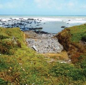
Also evident in the reefs are the monolithic tauranga waka or awa waka where large boulders were moved aside by hand to create channels in the reef. These provided access to offshore fishing grounds and prevented boats from being smashed onto rocks by the heavy surf. Large kainga were also built around the tauranga waka providing Taranaki iwi hapu with the infrastructure for efficient fishing operations. Whenever possible, fishing nets were also set in the tauranga waka. Fishing also took the form of separate, smaller pool like structures, or tauranga ika. They were baited and had a small opening on the seaward end of the structure to attract fish. On an incoming tide fish would enter the pools to feed and would then be chased out to be caught by a net placed over the small entranceway.
Taranaki Iwi oral traditions recount that in former times, the extent of large boulder reefs in the central part of Taranaki Iwi was much larger than those seen today. The large sandy areas in the central part of the Taranaki Iwi rohe is an occurrence attributed to Mangohuruhuru.
Mangohuruhuru was from the South Island and was brought here by Taranaki Iwi Rangatira Potikiroa and his wife Puna-te-rito, who was Mangohuruhuru’s daughter. Mangohuruhuru settled on the coastal strip between Tipoka and Wairua and built a house there called Te Tapere o Tutahi. However, the large rocky Taranaki coastline was foreign to him and he longed for the widespread sandy beaches of his homeland. He warned Taranaki Iwi and told them he was calling the sands of Tangaroa. This phenomenon came as a large tsunami and totally buried Mangohuruhuru and his kainga.
26 – Taranaki Iwi Rautaki Tiaki Whenua – Reserves Management Plan 2019-2029
His final words to Taranaki iwi were:
‘Ka oti taku koha ki a koutou e nga iwi nei, ko ahau and hei papa mo taku mahi, hei papa and hoki mo koutou - This will be my parting gift for you all, that it will come at the cost of my life, but will provide a future foundation’
The sands brought by Mangohuruhuru continue to provide excellent growing conditions for many of the low lying seaside kainga within the central part of the Taranaki Iwi rohe.
The Coastal Marine Area was also the main highway for many Taranaki Iwi uri (descendants) when travelling between communities, as most of the coastal lands were free of the thick bush found a little higher towards the mountain. Coastal boundary stones and mouri kohatu are another unique cultural feature within the Taranaki Iwi rohe and they form a highly distinctive group, not commonly found elsewhere in the country. Many of these were invariably carved with petroglyphs in spiral form and were often located in accessible areas, within pa earthworks and open country. However, most of them were nestled in the reef on the seashore alongside tauranga waka, tauranga ika, pukawa, puaha (river mouths) and below or adjacent to well-known pa sites.
Tahu and Turi the twin kaitiaki (guardians) mark the mouth of the Tapuae River, Te Pou o Tamaahua in Oakura, Te Toka a Rauhoto (originally located a little inland on the south side Hangatahua River mouth) Opu Opu (also a tauranga waka and tauranga ika) in the bay off Te Whanganui Reserve, Kaimaora, Tuha, Tokaroa and Omanu in the reefs at Rahotu and Matirawhati the stone boundary marker between Ngati Haua (a hapu of Ngaruahine) and Taranaki Iwi on the reef of the Rawa o Turi river mouth. These mouri kohatu continue to be revered by Taranaki Iwi hapu.
Although access to many areas along the Coastal Marine Area was discontinued as a consequence of confiscation, Taranaki Iwi have continued to exercise custodianship over those areas accessible to Taranaki Iwi. Many Taranaki iwi hapu have imposed rahui (temporary restrictions) over sites, restricting the taking of kuku, kina, paua and other mataitai. Proper and sustainable management of the Coastal Marine Area has always been at the heart of the relationship between Taranaki iwi and the Taranaki Iwi coastline.”
Taranaki Iwi Statement of Association – Coastal Marine Area and Waterways, Deed of Settlement 2015
6.2 Ngāturi Pā/Ōmata Stockade
Pre-European Ngāturi Pā site. Little is known of Ngāturi Pā, the oldest archaeological site of the Taranaki Wars. The stockade was built in 1860.
“The stockade was a few kilometres south-west of New Plymouth and served to protect local settler families. In March 1860 Ngāti Ruanui began to advance towards New Plymouth and built a Pā, Kaipopo, overlooking the stockade. Lieutenant Colonel Charles Gold then sent a force to relieve the stockade and attack the new Pā, which was eventually captured, probably after its abandonment by Māori.”
teara.govt.nz/en/artwork/36910/Ōmata-stockade
The Ngāturi Pā/Omata Stockade site has been archaeologically excavated.
Excerpt from ‘The New Zealand Wars: A History of the Maori Campaigns and the Pioneering Period: Volume I (1845–64)’
Chapter 19: The Battle of Waireka
“The British move upon the Waitara was quickly followed by the decision of Taranaki, Ngati-Ruanui, and Nga-Rauru, the three principal tribes of the coast curving round from Ngamotu to the Waitotara, to come to Wiremu’s Kingi’s aid. Ten days after the taking of the L pa five hundred warriors of these people, the best fighting-blood on the whole west coast south of New Plymouth, had arrived within six miles of the town. After ceremonious welcomes at Ratapihipihi and other settlements they gathered in a strongly entrenched and stockaded pa at Kaipopo, the most commanding part of the hills at Waireka. The fortification was alongside the road from Ōmata, and about a mile and a half south of the stockade commanding that settlement; the surf-beaten shore was less than three-quarters of a mile away. The district was already partially settled by Europeans, and farmhouses were scattered over the much-dissected coastland between the ranges and the sea. Clear streams, rock-bedded, coursed down through the numerous narrow wooded valleys. One of these was the Waireka (“Sweet Water”); it was joined just at the beach by a smaller hill-brook, the Waireka-iti. This broken terrain, with its spurs, knolls, and ravines giving abundance of cover, was an admirable country for the Maori’s skirmishing tactics. The natives who composed the fighting force on this side of New Plymouth were chiefly Taranaki, composed of Ngamahanga, Patukai, Ngati-Haumia, Ngarangi, and other hapus, under Kingi Parengarenga (afterwards
Taranaki Iwi Rautaki Tiaki Whenua – 27
killed at Sentry Hill), Hori Kingi, the celebrated Wiremu Kingi te Matakaatea (not to be confused with Wiremu Kingi te Rangitaake, of Waitara), and Arama Karaka. A war-party of Ngati-Ruanui, chiefly the Ngaruahine hapu of the Waimate Plains, arrived just in time for the battle; their principal rangatira was Te Hanataua. The men were armed with double-barrel shot-guns, and were well supplied with powder and lead; several carried rifles.
“On the 27th [March, 1860] the first blood was shed in the Ōmata district. Two farmers (S. Shaw and H. Passmore) and a New Plymouth business man (Samuel Ford) were shot and tomahawked by ambush-parties on the roadside near the Primitive Methodist Chapel; next day the bodies of two boys (Pote and Parker), similarly killed, were found. On the morning of the 28th, when New Plymouth was in a state of intense excitement over the news of these murders, the military authorities decided to despatch an expedition to Ōmata for the purpose of rescuing the Rev. H. H. Brown and his family, and several other settlers who had remained on their farms. The chiefs, however, had made proclamation that Mr. Brown would be protected, and a notice in Maori was posted at Ōmata declaring that the road to his place and to his neighbours’ must not be trodden by war-parties. The minister was tapu because of his sacred office; as for the others enumerated, one settler was Portuguese and one French; the war was only with the British. The force detailed for the expedition consisted of three officers and twenty-five men of the Royal Navy (H.M.S. “Niger”), four officers and eighty-four rank and file of the 65th Regiment, with 103 officers and men of the Taranaki Rifle Volunteers and fifty-six Taranaki Militia. Lieut.-Colonel Murray was in command. Lieutenant Blake was in charge of the bluejackets (who were to be followed, if necessary, by a larger force from the “Niger”). The colonial force was under the command of Captain Charles Brown, who had with him the following officers: Militia—Captain and Adjutant Stapp, Lieutenants McKechney and McKellar, Ensign W. B. Messenger; Volunteers—Captain Harry A. Atkinson, Lieutenants Hirst, Hamerton, Webster, and Jonas.
“The first blunder made by the Imperial officers was the division of this small force dispatched into hostile territory. Captain Brown, in command of the settlers, was ordered to march by the sea-coast, keeping along the beach until he reached the rear of the Maori positions at Waireka. The Regulars, under Lieut.Colonel Murray, marched by the main road for the announced purpose of dislodging a war-party reported to be at the spot known as the “Whalers’ Gate,” about
three-quarters of a mile on the town side of the Ōmata stockade. The Volunteers and Militia were expected to recover the out-settlers supposed to be in danger, and to march back by the road, joining Murray at the “Whalers’ Gate.” The force was not sent from town until after 1 p.m. (the colonials starting first), yet the order was given by Colonel Gold that it must be back by dark. Lieut.-Colonel Murray’s implicit but unintelligent obedience to this order involved, as it developed, the desertion of the settlers’ column at a critical juncture in the combat of the Waireka.
“Murray did not meet with any opposition at the “Whalers’ Gate,” where there was no trace of Maoris. He moved leisurely along the south road until, near the Ōmata stockade, the sound of rapid firing about two miles off, near the sea, indicated that the civilian force was hotly engaged. He despatched the naval detachment and some of the 65th, under Lieutenant Urquhart, to Brown’s assistance, while he took the main body along the road and down a lane which turned off on the right to the sea. Some distance down the lane he turned into a grass paddock, entrenched his men, and opened fire on the Maori skirmishers at long range. He had a rocket-tube, and fired some rockets into a wooded gully on his left front, up which some of the Maoris were moving to cut him off from the main road, as he thought. Accordingly he took up a position in the lane so as to secure the main road, and confined himself to firing rockets at the distant pa and any groups of Maoris observed, and rifle-fire on the native skirmishers over the spurs and in the ravines, until he considered it time to sound the ‘Retire.’”
nzetc.victoria.ac.nz/tm/scholarly/tei-Cow01NewZ-c19.html
28 – Taranaki Iwi
Whenua – Reserves Management Plan 2019-2029
Rautaki Tiaki
6.3 Tapuīnikau Pā
“Tapui-Nikau. 1818.
“But the Northern taua was not satisfied with the taking of Tatara-i-inaka. They proceeded to attack other Taranaki pas. Mr. Skinner says—‘From here the invaders moved on and invested Mounu-kahawai, a very large pa at the mouth of the Kaihiki stream, three miles south-west of Tatara-i-maka, on the south bank just inland of the coast road. This pa was of great size, with a large population, but was not a strong position, being built on comparatively flat ground. The invaders fired the dry raupo growing in the swamps (named Totoaro) around the pa, and under cover of the smoke and consequent confusion stormed the place, with great slaughter. Tara-tuha, one of the principal chiefs of Nga-Mahanga, was killed here. After the taking of this pa and the usual feasting, the taua moved on to attack Tapui-nikau.’ I am not certain whether it was before or after the siege of Tapui-nikau, that a pa, situated about one and a-half miles S.S.E. of the former named Kekeua, was taken with the usual accompaniment of slaughter. Tapuinikau is situated on the Te Ika-parua stream, about two miles south-east of the modern township of Warea, and five miles from the coast. Mr. Skinner says of Tapui-nikau—” This was another great stronghold of the Taranaki tribe, and was defended by the people of the various hapus (of Nga-Mahanga, Ngati-Moeahu, etc., etc.) who had gathered into this powerful pa to do battle with the invaders. Great preparations had been made and every precaution taken in accordance with the old Maori ideas of defence. Great stores of stones were gathered up into the fighting towers, and on stages erected on trees commanding the trenches and approaches to the pa.”
“Watene says, there were a great many chiefs in the pa at the time of attack, Kukutai, Te Ra-tu-tonu, Moungatu-kau and others. At the first attack the taua was repulsed by the Taranaki people “under (says Mr. Skinner) Ruakiri, and in this affair Rarauhe of the NgaMahanga killed two men of rank of the attacking party. After the first attack, the invaders prepared to make a regular siege of the place, with the idea of starving out the garrison,” whilst the young men of the taua ranged the country in search of food and plunder.
“Now comes in one of those instances of Maori custom which is peculiar and strange to us. During the first attack, the allies had seen and admired the splendid courage of Te Ra-tu-tonu, who was otherwise a fine handsome man in the prime of life. His deeds were

Taranaki Iwi Rautaki Tiaki Whenua – 29 Taranaki Herald, Volume IX, Issue 419, 11 August 1860
paperspast.natlib.govt.nz/newspapers/TH18600811.2.8
the talk of the camp, and it appears that one of the women had also beheld his valour, and on that account desired to have him as her husband. This woman who—Te Watene says—was very beautiful, was RangiTopeora, the sister of the celebrated Te Rangi-haeata, and daughter of Te Rau-paraha’s sister Waitohi. Topeora is perhaps more famed than any other Maori lady for the number of her poetical effusions, which generally take the form of kai-oraora, or cursing songs, in which she expresses the utmost hatred of her enemies, and consigns them to all kinds of horrible deaths and desecrations so much indulged in by the Maori. At the same time her songs are full of historical allusions. She was also of the best blood of Ngati-Toa, and, therefore, with a good deal of influence in the tribe. Te Ra-tu-tonu was known to Topeora before this event, for he had formerly visited Kawhia. One child was the fruit of this union, who died young.
“At Topeora’s instigation, Te Rau-paraha arranged that Te Ra-tu-tonu should be ‘called,’ i.e.: someone would approach the beleaguered pa, and call him to come to the enemies’ camp under a guarantee of safety. This was done, and Te Ra-tu-tonu descended from the pa to the camp, where, after speeches, etc., he was married to Topeora. Mr. Skinner adds to the above (which is Watene’s account)—”When Te Ra-tu-tonu was leaving the pa to meet Topeora and Neke-papa (who also had taken a fancy to this handsome warrior) the question arose as to which of the two should have him. But Topeora, being fleet of foot ran to meet the advancing chief and cast her topuni (dog-skin) mat over his shoulders and thus claimed him as her husband. This being in accordance with Maori custom Te Ra-tu-tonu* became the husband of Topeora.”
“Now this other lady, Neke-papa, who belonged to the Ati-Awa tribe, was also a poetess of some fame in her time. It is somewhat remarkable that this warrior chief should have thus been sought after by two wellknown poetesses. There was no doubt a hope in the Taranaki people, that this marriage would bring about a peace, and the retirement of the taua, for there are many historical instances of a similar result, as indeed in the case already quoted, in their own tribe when Rau-mahora was given in marriage to Taka-rangi, at the siege of Te Rewarewa pa (see page 245, Chap. X.). But Watene says, the taua had no such intention and continued the siege as closely as before. The probability is that the Northern element amongst the besiegers was determined to have revenge for the loss of some of their people. And hence, says Watene, was this chief-woman Topeora belittled by the taua. The great bravery of Te Ra-tu-tonu had been exhibited in
the assault on the pa, when a great many of the taua fell, notwithstanding that they possessed guns, whilst the defenders had only their rakau-maori, or native weapons. Few of the besieged fell on this occasion.
“Amongst the taua were some of the chiefs and people of Te Ati-Awa (of Waitara, etc.). One of these, an old man named Pahau, was desirous that the Taranaki people should be saved, and for that purpose he proceeded to the ground below the pa by himself and there stood, awaiting a chance to communicate with the besieged. Mounga-tu-kau of the pa saw him, and from the palisades called out, “Who is that man?”
The old man replied, “It is I, Pahau!” The other then said, “Do you not remember your grandfather Rakeitahanga, who was saved alive by us when we took the Awa-te-take pa. (This pa is situated behind Tikorangi on the high cliffs that overlook the Wai-tara river on the east side of the great bend, about a mile and a-half from Puke-rangiora, and had been taken by Taranaki in former times.) So Pahau returned to the camp, and repeated to the chiefs of his hapu, Otaraua of Ati-Awa, the conversation that had taken place. These chiefs were Te Tupe-o-tu* and Hau-te-horo, who after further consultation agreed that the besieged Taranaki should be allowed to escape from the pa by night.
“Now within the pa was a young chief named Rongonui-a-rangi, who was the son of Hau-te-horo’s sister by a Taranaki chief to whom she was married. So Hau-te-horo went to the front and called out for the young chief. He came down out of the pa and there had a talk with his uncle. Hau-te-horo’s final words to his nephew were, “Listen to my words. Evacuate the pa this very night, all of you go to Te Kohatu pa”—which was situated on Te Iringa mountain (Patuha Range), and was a stronghold of Kukutai’s, the principal chief of Taranaki. The young man returned to the pa and communicated the subject of Hau-te-horo’s advice to them, which was finally agreed to, for provisions were beginning to fail, and it was evident the taua, having all the country at their command, was determined to reduce the pa by starvation. That same night, with secrecy and despatch, the garrison passed out of the pa with the connivance of the Ati-Awa sentries, and made good their escape to Te Kohatu.
“In the morning, the taua was surprised at seeing no smoke or hearing no voices in the pa, for Haute-horo had managed the thing so well that no one but his immediate friends and followers knew of the arrangements made. Great wonder was expressed as to how the besieged had got away.
“During the siege, Tawhai (afterwards Mohi Tawhai),
30 – Taranaki Iwi Rautaki Tiaki Whenua – Reserves Management Plan 2019-2029
of the Mahurehure hapu of Nga-Puhi—who live at Waima, Hokianga—and father of the late Hone Mohi Tawhai, M.H.R., who was with the northern contingent of the taua in the attack already described, was close under one of the towers of the pa, when one of the defenders cast a big stone at him, which split open his head (as his son told me). But by careful doctoring he recovered—careful doctoring according to Maori ideas; they poured hot oil into the wound, then sewed it up!
“Mr. Skinner has a story illustrating the instruction given to a Taranaki slave in the use of firearms: “One of these slaves was anxious to know how the musket was used. A Nga-Puhi man explained the procedure, then told the other to look down the muzzle of the gun. The Nga-Puhi then pulled the trigger and the unfortunate slave’s head was shattered, much to the amusement of the surrounding crowd.”
“After the escape of the garrison of Tapui-nikau and the plunder of the pa, the Whole taua returned to their respective homes; Ati-Awa to Waitara, NgatiTama to Poutama, Ngati-Toa to Kawhia, NgatiWhatua to Kaipara, Nga-Puhi to Hokianga; taking with them numbers of slaves * and other booty in the shape of mats and dried heads. It was at this time, when passing through Kawhia, that Tu-whare arranged with Te Rau-paraha another and more extended raid into the Taranaki country. The great Ngati-Whatua chief Muru-paenga did not return again to the south. It is probable he and his taua reached their Kaipara homes early in 1819, and in the next year he met the celebrated Nga-Puhi chief Tareha, in several fights at Kaipara itself. In August, 1820, the Rev. Samuel Marsden met him at the former’s home in Kaipara. In 1823, he and many of his tribe are found assisting Hongi-Hika at the taking of Mokoia island, Rotorua, and finally this great warrior was killed by a party of Nga-Puhi in 1826. Muru-paenga was certainly a great warrior and leader, who set all the strength of Nga-Puhi at defiance and constantly defeated them, until the overwhelming number of muskets they had acquired enabled Hongi-Hika to inflict a crushing defeat on Muru-paenga’s tribe, Ngati-Whatua, at Ika-a-ranganui in February, 1826.”
History and Traditions of the Maoris of the West Coast North Island Prior to 1840, S. Percy Smith, Christchurch, Capper Press, 1984.
Cited in https://viewer.waireto.victoria.ac.nz/client/ viewer/IE886665/rep/REP886848/FL886849/t1/t1body1-d11-d19/n318?dps_dvs=1545182054711~264
Gumley, 1987
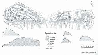
Above: Appendix from the Tapuīnikau Pa Historic Reserve Management Plan (DRAFT), Department of Land and Survey, New Plymouth, undated (c. 1982/3).
History of Tapui-nikau pa
With the introduction of the musket into New Zealand the mode of warfare changed dramatically. The Northern Tribes who had access to these guns first, went on many raids particularly down to the southern half of the North Island. One such raid was in 1818 to Tapuinikau pa (Smith 1910: 288). The northern taua led by Te Rauparaha had been moving south around the Taranaki coast and were inflicting major defeats on the Taranaki people. It is not certain whether they took a pa called Kekeua, which is south of Tapuīnikau, before or after the latter. Tapui-nikau was a great stronghold of the Taranaki tribe and the various hapu had gathered in it to do battle with the invaders. Great preparations were made and every precaution was taken in accordance with the old Maori ideas of defence. Great stores of stones were gathered up onto the fighting towers and on stages erected on the trees commanding the trenches and approaches to the pa. There were many great chiefs in the pa at the time of attack, three of which were Kukutai, Te Ra-tu-tonu, and Mounga-tu-kau.
At the first attack the taua were repulsed so they prepared to make a regular siege of the pa, with the idea of starving them out. However, during this attack the invaders had seen and admired the great courage of Te Ra-tu-tonu. His deeds were the talk of the camp and it appears that one of the women desired to have him as her husband. This woman was Rangi-Topeora. She was a sister of Te Rangihaeata and the daughter of Te Rauparaha’s sister waitohi. Rangi-Topeora was perhaps more famed than any other Maori lady for the number of her poetical effusions which generally took the form of kai-oraora. However, at Rangi-Topeora’s instigation,
Taranaki Iwi Rautaki Tiaki Whenua – 31
Te Rauparaha arranged that Te Ra-tu-tonu should be called, in safety, to the invaders camp. This was done and as Te Ra-tu-tonu was leaving the pa Rangi-Topeora and Neke-papa (a poetess of some fame from Te Atiawa, who were also taking part in the siege) ran to meet the advancing chief, but Rangi-Topeora being the faster reached him first and placed her tupuni (dogskin mat) around his shoulders and claimed him as her husband. However, this did not end the siege so a Te Atiawa chief, Pahau, whose grandfather had been saved by the Taranaki people when they attacked a pa a few years before, wanted the Taranaki people to be saved and arranged that they be allowed to escape at night to Te Kohatu pa, a stronghold of Kukutai’s on the Kaitake Range next to Mount Egmont. This was arranged and with secrecy and despatch the Taranaki people passed out of their pa and escaped to Te Kohatu pa. In the morning great surprise was expressed as to how they had got away.
This attack on the pa may have marked the end of its occupation and the start of its reversion back to being bush covered.
In 1926 the local community of Warea were concerned about Tapui-nikau. Up until then two local elders had been living near the pa and looking after it. But one had recently died and the other was getting too old to look after the pa.
As a result of this concern the Maori owners gifted the western section (1.0749 ha) of the site to the Crown in 1929. This part of the site was also the urupa (burial ground). Control of the reserve was vested in special Board which had to include at least three members of the local Ngati Moeahu hapu. Members of the first Tapui-nikau pa Scenic Reserve Board were W.D. Armit, Rangi Te Kiri, Tiriti Wharepouri, Kape Whiti Te Hohoki, H.N. Chapman, and W.B. Smith.
This Board was responsible for maintaining the reserve. In 1935 a local farmer, Alexander Watt, was fined $1 (10/-) for cutting down a karaka tree within the reserve for cattle feed. Someone had also cut the fence allowing stock access into the reserve but it could not be proved who was responsible for this (L&S 13/78, folio 120). The Board tried to have the Reserve extended on various occasions but it never was.
During the course of digging drains in an adjacent swamp, first in 1967 and again in 1973 a large number of artefacts were uncovered, the majority of which were wooden. They appeared to have been placed in caches. Such things as ko’s, spades, wooden bowls, footrests for ko’s, wooden fish hooks, weaving implements, woven
flax material, wooden pounders, a tapa beater? (which has cross hatching on one of its squared sides), a piece of carving off a stern of a canoe, pieces of gourd, knotted vine, a wooden causeway, adze handles (several of which were carved), a carved fish killer, and several adzes were uncovered. Much of this material was unfinished and appeared to have been placed in old water courses which the digger was following. However, in November 1976 while ploughing the swamp Mr Ken Donald found the most spectacular of the finds, that of a fully carved paepae or lintel from a storehouse. Not only was it a beautifully carved piece but it represented only the second piece of known Taranaki tribal carving. It bears a striking resemblance to a paepae depicted in a drawing dated 1842 by Charles Heaphy entitled “Provision House, Otumatua Pah, Cape Egmont”. The carving consists of three frontal figures flanked at each end by an outward facing figure. The heads of two of the central figures are partly and wholly missing and these appear to have been deliberately done before it was placed in the swamp. The rear of the panel appears to be finished in the manner associated with stone-age carving while the front is quite sharply sculptured. Thus there is the possibility that the rear of the paepae may have been finished with stone tools while the front with metal tools (Ford 1979:433-459). When Heaphy did his sketch of the “Provision House” it was thought that his depictions of the paepae were incorrect but this carving shows otherwise.
In 1974 negotiations were undertaken with W.R. and N.D. Cavey, the then landowners, over the purchase of an additional piece of land which contained the two eastern fortified lahar and a ROW from Newall Road to the Reserve. In 1976 this area (2.43 ha) was purchased for $870 and added to the reserve.
Visitors to the site today are confronted with an impressive system of banks, ditches, and scarps. These were all constructed by the Maori in order to strengthen the position. Pallisading would have been used along the edges of the scarps and along the banks. As well fighting stages were probably erected overlooking the ditches and terraces so projectiles could be thrown down onto the enemy. Behind these pallisades would have been whare’s and foodstores. However evidence for these structures are now confined to subsurface archaeological deposits as the timber has long since rotted. Numerous rua kumara (food storage pits) can still be seen along with sections of stone revetting, along some of the scarps.
32 – Taranaki Iwi Rautaki Tiaki Whenua – Reserves Management Plan 2019-2029
Evidence of the site extends outside the reserve boundary in the form of house sites and pits on adjacent lahar. Sadly a series of ditches and banks, relating to the defence system of the site, were destroyed by bulldozing a few years ago. These were situated in the now cleared recess area between the western lahar and the two eastern ones.
Briefly the fortification system of Tapui-nikau pa extended over three lahar which were situated along a steep scarp with the Warea River flowing along the base. This river scarp provided excellent natural defence of the southern side. The position would have had a commanding view of the surrounding area although the site was well into the bush. The natural defences coupled with the Maori modifications to the site made it an extremely strong position
Bibliography:
Day, Kelvin 1981
The History of Warea, Unpublished manuscript, 120 pp
Ford, J.B. 1979
‘Warea Carving 1976’, Journal of the Polynesian Society
88 :433-59
Lands and Survey file 13/78
Tapuīnikau pa Historic Reserve
Smith, S. Percy, 1910
Maori History of the Taranaki Coast, New Plymouth, Thomas Avery
6.4 Tataraimaka Pāt
Excerpt from the Tataraimaka Pa Historic Reserve Management Plan (DRAFT), Department of Land and Survey, New Plymouth, undated (c. 1982/3).
History:
When Tataraimaka Pa was first occupied by Maori is unknown but by the late eighteenth century it was one of the major pa in the area, which falls within the territory of the Nga Mahanga hapu of the Taranaki tribe.
The fortifications and layout of the pa have been described by Prickett (see Appendix I), who recorded three major living platforms separated by a series of scarps. In places stones have been used to build up the scarps.
The single most important event in the recorded history of the pa was its assault by a northern war party in the early nineteenth century (1818 according to S. Percy Smith). This engagement was noteworthy because the northerners had two muskets in their possession, the first seen in Taranaki, and with them were able to pick off the chiefs defending the pa. After a fight outside the pa, the site was overrun, with much slaughter (see Appendix II).
It is probable that the pa was not re-occupied after it was overrun. In 1847 the Government purchased the Tataraimaka Block from the Maoris, and the pa site became part of one of the farms settled on the Block. It is possible that the Coast Road was cut through the spur between the two parts of the reserve at this time. However at the start of the First Taranaki Land War in 1860 the settlers at Tataraimaka found themselves in an isolated position and the district was abandoned. The First Taranaki Land War ceased with a truce in 1861, under which the Government agreed to reexamine the validity of the Waitara Purchase, but this re-examination had not been completed when Governor Grey, on his first trip to Taranaki after his appointment, resolved to re-occupy the Tataraimaka Block. This was seen by the Maoris as a hostile action, for their attitude was that Tataraimaka would not be given up unless the Government first abandoned the Waitara Purchase.
On 4th April 1863, Government troops marched on to the Tataraimaka Block and began building a redoubt just inland of Tataraimaka Pa. This new initiative, taken one month before the Government abandoned the Waitara Purchase, signalled the start of the Second Taranaki Land War.
Taranaki Iwi Rautaki Tiaki Whenua – 33
The site of the redoubt, known as Fort St George, is outside the reserve. However the pa site, being a headland and raised above the surrounding countryside, was used by the military as a signalling and observation post and was referred to colloquially as the Crow’s Nest. Some earthworks and tracking associated with this military occupation are thought to have been constructed on the pa site. Two contemporary drawings, by Norbury and by Greenwood, show Fort St George at this time, and can be viewed in the Taranaki Museum.
Fort St George was the base of operations for an attack in June 1863 on a pa situated on the southern side of the Katikara Stream. After the Government troops had taken the pa, the bodies of 24 Maori warriors were brought back to Fort St George, and buried just outside the redoubt. The grave, which is on the reserve, has been covered with a slab of concrete.
After the fighting in the Second Taranaki Land War ceased in 1866, the Tataraimaka Block was re-occupied by the settlers, and the pa site again became part of one of the farms. The Government purchased Tataraimaka Pa for a historic reserve in 1906.
Appendix 1 (Draft Reserve Management Plan):
Extract from N. Prickett (1982) Maori Fortifications of the Tataraimaka District, Taranaki. Records of the Auckland Institute and Museum, 19: 1-52.
p. 34-6.
“Listed by Skinner (1946:64) as one of the three major fortifications of the Tataraimaka district, the pa from which the district takes its name is located on a coastal headland 200m east of the Katikara River mouth. The site is within an historic reserve administered by the Lands and Survey Department. Construction of Pitone Road and of the road cutting which leads to the beach south of the pa may both have involved damage to outer defences. Damage has also been done to successive terrace and scarp defences at the west side of the fortification by a path which runs to the topmost platform. Canopy vegetation is predominantly pohutukawa with some macrocarpa and karaka. Taupata and flax cling to the exposed seacliff. Recent felling of large macrocarpa trees, which formerly dominated the lower terraces, has resulted in a dense growth of poroporo, kawakawa and inkweed.
“Natural defences of Tataraimaka consist of a 40m cliff around the north and west sides, to the boulder beach and low-lying ground behind, and a steep slope to the low isthmus which cuts the pa from the extensive terrace country inland. Artificial defences are made up chiefly of a series of scarps, as much as 6-8m high, which cut the promontory from one side to the other. The topmost of these scarps is supplemented by a ditch as is the massive bottom scarp. It seems likely the surviving ditch now adjacent to Pitone Road is the major outer defence, although what has been destroyed here by the road is somewhat problematical. Some defensive banks occur at terrace edges throughout the site. In at least two places large beach boulders have been used to revet short sections of scarp.
“Tataraimaka is roughly triangular in shape with surviving defences along the broad landward side approximately 100m long and the depth of the fortification from here to the seaward margin of the topmost terrace between 60 and 80m. The total area of the site is ca. 3500 m2. Living space, however, takes up only a small part of this. The topmost platform is ca. 10-16 x 18m (ca. 200 m2). A single rua is dug into the rear of a shelf at the seaward side. Below the platform two small terraces are cut into the steep seaward faces north and west. The next major living terrace is ca. 16 x 42m in maximum dimensions (ca. 500 m2). The
34 –
Taranaki Iwi Rautaki Tiaki Whenua – Reserves Management Plan 2019-2029
upper part of this terrace dips to the south-east. Two depressions indicate houses. The third major living platform extends for 75m across the full width of the site. It varies between 6 and 10m in width and might be 600 m2 in area, this including an extension on the steep scarp at the western flank of the site. Two rua survive at the western end of this terrace. The three major living platforms thus total 1300 m2 in area. Other minor terraces and platforms at lower levels may also have been used in part to provide accommodation.
“Tataraimaka was taken by a northern taua (war party) which included Nga Puhi, Ngati Whatua, Ngati Toa, Ngati Tama and some Te Atiawa shortly before 1820 (Smith 1910:285-287). It is said that two muskets among the northern party were the first seen in Taranaki. The attackers used the guns to pick off defending chiefs before the pa was stormed. In April 1863 St George’s Redoubt was thrown up by the 57th Regiment on the terrace edge immediately south. The top platform of the older fortification was then modified to accommodate a signal station. An earth bank was raised and it is likely, too, that the ditch outside also dates from this period. The path through the fortification in all likelihood dates from this occupation, and lower terraces may also have been modified for defence and perhaps accommodation. The soldiers called the pa ‘the crow’s nest’.”
References:
Skinner, W.H. (1946), Reminiscences of a Taranaki Surveyor, Thomas Avery, New Plymouth. 122pp.
Smith, S.P. (1910), History and Traditions of the Maoris of the West Coast North Island of New Zealand prior to 1840, Memoirs of the Polynesian Society, Vol 1. Thomas Avery, New Plymouth. 562pp.
Appendix I (Draft Reserve Management Plan)
Extract from S. Percy Smith (1910): History and Traditions of the Maoris of the West Coast, North Island of New Zealand, Prior to 1840. Memoirs of the Polynesian Society. Vol I. Thomas Avery, New Plymouth. 562 pp.
p, 285-6.
“(In 1818 a party of Ngati-Toa from Kawhia led by Te Rauparaha, and Ngapuhi from Kaipara led by Tuwhare and Muru-paenga, had been staying at Te Taniwha, east of Waitara, when they were persuaded by Te Puoho of Ngati-Tama to attack the Taranaki tribe). This was not difficult of accomplishment; Tuwhare Muru-paenga, and Te Rau-paraha were not the men to hold back when there were any hard knocks to be given, and moreover an attack on the Taranaki tribe would result in the acquisition of more fine mats, heads, and slaves. At this time the two latter articles were becoming of much value; the first to barter with the whalers frequenting the Bay of Islands, the latter to prepare flax to exchange for muskets.
“The taua, now reinforced by some of the Ati-Awa people, started on their march for the Taranaki country, passing on their way several of the Ati-Awa pas, and soon arrived at Tatara-i-maka (“the garment cast away,” pronounced Tatarai-maka). This place was, and is still, a very strong pa, situated on the sea-coast eleven miles south-west of New Plymouth, and between the mouths of the Kati-kara and Pitoone streams, and which gives its name to the block of land purchased by the Government from the Taranaki tribe, 11th May, 1847. Its high ramparts and deep ditches that defended it on the land side are still in good preservation, and it is to be hoped will remain so, for the pa has been acquired and preserved by the Government under “The Scenery Preservation Act, 1903”. The taua marched on to the attack of this strong place and were met outside by the Taranaki people, and a fight took place, in which the latter people were defeated, and then took shelter in the pa. Mr W.H. Skinner says: ... “Tatara-i-maka was the great fighting pa of these parts, and into it all the inhabitants of the smaller pas in the vicinity had gathered The possession of a few firearms by the invaders caused them to treat this affair as a pleasant outing, for they felt sure of victory - a hunting excursion, in fact, in search of game, ·on which they subsisted, together with the immense supply of vegetable food (in the shape of kumara, taro, etc.) found in the neighbouring pas scattered over this thickly- peopled district. Tatara-i-maka was
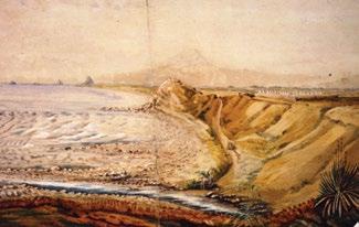
Taranaki Iwi Rautaki Tiaki Whenua – 35
Above: View of St George’s Redoubt, Tataraimaka and Tataraimaka Pā (A65.900 Robert Greenwood, Untitled (St. George’s Redoubt) (unknown date), collection of Puke Ariki, New Plymouth)
stormed with great slaughter, and amongst the slain was Kahu-roro, the chief of the pa, and great numbers were taken prisoners, amongst them Pori-kapa, the afterwards well-known chief of the Nga-Mahanga hapu of Taranaki, who, in later years, dwelt at Kai-hihi. He was then a lad and managed to escape shortly after capture. The prisoners were bound together in couples by flax ropes round their necks, notwithstanding which, during the night, many of them made their escape.” Watene adds these names to the chiefs killed: Wetenga-pito, Parehe, Para-tu-te-rangi, and Tiotio, and further says, “Here was seen the work of the guns of Nga-Puhi. The Maori mode of warfare formerly was hand to hand in close proximity. But here the NgaPuhi chiefs asked their Ati-Awa allies to point out’ the chiefs when attacking the pa, and then the guns did their work, shooting the men whose names have been mentioned. And then the pa was stormed.
“The people who suffered in this affair were the NgaMahanga hapu of Taranaki (and probably other hapus).”
6.5 Te Koru Pā
From Te Koru Pa Historic Reserve Management Plan DRAFT, Department of Lands and Survey, New Plymouth, 1983.
“When Te Koru Pa was first occupied is unknown, but by the late seventeenth century it had become a major pa of the area, occupied by Nga Mahanga hapu of the Taranaki tribe.

“The known history of the pa is relatively sparse, the most significant event being its capture by a Te Atiawa war party in the early eighteenth century. It is likely that the pa was abandoned after this battle, for by 1910 it is described as being covered with a dense growth of native shrubs (see Appendix I).
“While the oral history may have been lost, the archaeological features are well preserved, and point to a large highly organised pa, with numerous living platforms on terraces at different levels, and numerous food storage pits. A significant feature of the site is that many of the terrace scarps have been strengthened with river boulders. Although this method of defensive construction is known elsewhere in New Zealand, nowhere is as elaborate, extensive or well constructed as at Te Koru Pa (see Appendix II).”
“A further pointer to the importance of the pa was the discovery on the site in 1898 of a large wooden door lintel, which must have come from a substantial building. This carving is now in the Taranaki Museum.
“From the archaeological point of view, this site is one of the most important in New Zealand, because of its large size in relatively undisturbed condition and because of the methods of defensive construction employed.”
36 –
Plan 2019-2029
Taranaki Iwi Rautaki Tiaki Whenua – Reserves Management
Appendix I
Extract from S. Percy Smith (1910): History and Traditions of the Maoris of the West Coast, North Island of New Zealand, Prior to 1840. Memoirs of the Polynesian Society, Vol I. Thomas Avery, New Plymouth. p, 258-9.
“This pa probably takes its name from koru, a bend or fold, as it is built on a deep bend of the Oakura river, just below the present township of Koru, which is named after the pa. It is situated about nine miles south of New Plymouth, and is a favourite resort for picnics at the present time. The old fort is approached by crossing a most picturesque suspension bridge, which spans the rocky bed of the Oakura beneath the wooded slopes of the now deserted stronghold. The whole of the pa and its outworks are now covered with a dense growth of karaka, rewarewa, ngaio, and other native shrubs, and on my last visit was in an almost perfect state of preservation, excepting, of course, the palisading which has decayed. Koru is unique amongst old Maori strongholds in the Taranaki district, in the kind of protective works adopted; some of the walls are built up with rubble work, the stones for which were obtained from the bed of the Oakura, which flows immediately beneath. These stone walls - or rather walls faced with stonerun up in some places to a height of fifteen feet, and all the minor outworks are faced with stone in the same manner.
“(At the beginning of the nineteenth century) the people of Rewarewa, combined with those of the great Puketapu pa of the same Ati-Awa tribe - in all from eight hundred to one thousand warriors - ... made a raid on the Taranaki tribe, attacking and capturing the then celebrated fighting pa of Koru... Tu-makuru and Mona were chiefs of the Koru pa at this time. In this affair the former is said to have killed two AtiAwas with one thrust of his tao,' or double-pointed spear, or by a right-and-left thrust. Tu-makuru made good his escape, but Mona was killed in a hand-tohand fight by ‘the taiaha of one of the Ati-Awas.’”
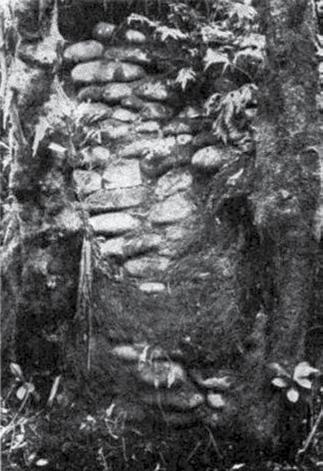

Taranaki Iwi Rautaki Tiaki Whenua – 37
Above: Stone Faced Scarps at Te Koru Pa. B. shows a scarp the facing stones of which have been firmly gripped and confined by aerial roots of the lofty mamaku treet ferm Cyathea medullaris. Photos by Augustus Hamilton
A. B.
Best, 1975
Appendix II
Extract from N. Prickett (1980): Maori Fortifications of the Ōmata and Oākura Districts, Taranaki. Records of the Auckland Institute Museum, 17:1-48 p33-36.
“Like many smaller pa of the survey area, Koru occupies a site low on a spur, without any command of the surrounding countryside. Use has been made of a steep sided knoll at the end of a spur which rises to higher ground to the south, ultimately to the Kaitake Ranges. Natural defence consists of steep scarps to the river on both sides of the pa with a steep but greatly modified scarp to a small river flat on the south-east side. The north end of the peninsula falls to the river level and has required some assistance from artificial defences. The Ōākura River itself, with its rough bed of large rounded boulders completely commanded from within the pa, adds considerably to the natural defence.
“Artificial defences may be discussed in two sections: the massive ditch and bank works of the landward south and south-east side, and the successive scarp and terrace defence of the approach up the pa from the vulnerable north end. This is supplemented by a third ditch on the rising spur circa 40 m south of the outer of the two major ditches. Considerable damage has been done to this ditch in the course of preparation of the present fence line; what remains suggests a ditch 8 m across and 3 m deep. Best (1975:213) states that originally it did not quite cut the spur.
“Across the narrow spur the major defence takes the form of two massive ditches 4-5 m deep and circa 5 m across at the bottom. With the intervening bank the width of these defences is circa 25 m, with a further 50 m up the spur, to the outer rim of the third transverse ditch. Just outside the major defence is a terrace or open pit cut 2.5-3 m into the spur and measuring 9 x 7 m in plan. The outer of the two main ditches cuts la m through the spur before turning to extend circa 12 m outside the inner ditch and bank. A further slight depression may relate to a former continuation of this ditch. The inner ditch cuts only 5 m across the spur before turning to extend almost 75 m across the rear of the pa to the river at the upstream end of the site. The outer bank here presents a 4 m high obstacle to an attacking party while the counterscarp into the ditch is up to 2 m in height.
“From the main ditch which cuts through the isthmus at the rear of the site a scarp rises 6 m to a platform 6 m wide at the rear of which is another ditch below yet another abrupt 5 m scarp to the top platform or tihi.
The inner ditch in this part of the defences extends circa40m from the upstream cliff to the river, across the rear of the tihi, before cutting through the site to isolate a secondary triangular platform. Present site access which turns the south-west end of this defence from the main ditch probably reflects an original entrance to the pa since a notable internal access way runs out to this point.
“For most of the long circumference of Koru there is no ditch, instead use is made of the high natural scarp to the river as the main defence. At the upstream end of the site the uppermost platform drops directly circa 20 m into the river bed. The scarp to the river becomes progressively lower below this platform. On the west side the scarp again diminishes in height down the successive terraces of the pa. While the rough river bed itself gave some security, yet the low north end of the pa did offer problems for successful defence. The scarp to the river is only 3-5 m high here. For some of the rim of the major terrace in this part of the site there is a slight bank to add to defence. Along the eastern side of this terrace is a steep sided bank almost 40 m in length which is 1-3 m high on the internal (south-west) side and 4-6m high on the outer (north-east) side. Outside this bank a large area, little higher than the river bed, is enclosed by a remarkable wall stone faced on both sides, which is between one and two metres high and circa 2 m across. This may have been designed for both flood control and defence.
“The numerous high scarps within the pa doubtless offered effective secondary defence to any breach of the comparatively weak defences of the low riverside scarps and terraces of the north end. As many as five successive major scarps, sometimes 5 m in height, would each have presented formidable obstacles to an attacking party that gained possession of the lowest terraces.
“Koru occupies a total area of circa 160 x 60 mapproximately 10,000 m2. The area within the major external defences is a little more than 7000 m2 although massive internal scarps make the actual living area somewhat less. within the defences Koru consists of a series of major terraces dropping away to the north-west. The highest of these is a triangular platform of circa 1000 m2 which is divided in two by a scarp of circa 1 m height. Scattered over this tihi are more than 30 rua and several rectangular depressions suggestive of house floors, one of which has in the centre a stone-lined hearth of four river boulders. Below are three major terraces which extend the width of the site. At the bottom is a further major terrace of
38 – Taranaki Iwi
Whenua – Reserves Management Plan 2019-2029
Rautaki Tiaki
circa 1250 m2. East of this, over the unusual defensive wall, is a similar area of somewhat broken ground little higher than the river bed.
“At the north-west corner of the pa is a well graded track which runs up from the river, through the scarp, and across the large bottom terrace to cut through the scarp to the next terrace. A path then runs directly up through successive terraces to the tihi. This is presumably the major routeway through the fortified settlement, and for the uppermost platforms it is the only access. Other routes through individual scarps are scattered throughout the site.
“It is possible now to count over 80 rua on Koru. Doubtless many more are covered by erosion from the steep scarps, especially as a characteristic location at this site is at the rear of terraces. Some pairs of rua are connected underground. Many rua entrances are in excellent condition having been subject to almost no erosion since abandonment of the site - such entrances are as little as 40 cm square. Rua are scattered throughout the site, occurring even at the base of defensive ditches of the south-east side where those now visible almost certainly reflect a greater number now buried. The preferred location of rua at the rear of terraces left the major part of a terrace free for surface buildings while it added to the strength of the pit by the depth of naturally compacted soil above.

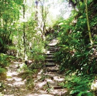
“Perhaps the most remarkable features of Kou are the scarps revetted by round river boulders which occur throughout the site. This method of maintaining steep scarps in the light volcanic soils is known elsewhere in Taranaki, for example at Ngaweka on the south bank of Stoney River and Tapuīnikau on the Teikaparua River, but nowhere is ·the work as spectacular as at Koru. It is, however, likely that the stone revetments have suffered some erosion over the years as the 3 m height of such walls depicted by Best (1975:210-211) cannot be found today. Smith (1910:258) mentions such walls up to 15 feet (4.5 m) high. The greatest height of such work to have survived is about 2 m; debris at the foot of higher scarps locates Best's illustrations. The stone revetment is mostly used simply to face scarps; in places, however, it is used to face defensive walls (notably on the riverbank at the north end of the site), and to hold the sides of sunken pathways.”
Bibliography:
Best E (1975): The Pa Maori. 2nd edition Government Printer Wellington 459pp.
Smith S.P. (1910): History and Traditions of the Maoris of the West Coast, North Island of New Zealand, Prior to 1840. Memoirs of the Polynesian Society. Vol I Thomas Avery, New Plymouth 562 pp.”
Taranaki Iwi Rautaki Tiaki Whenua – 39
Historic earthworks in Te Koru Pa
Damage from tree roots
7. Management Challenges and Responses
7.1 Historic and Cultural Values
Taranaki Iwi has a long history and bond with the coastal reserves of Pungarehu, Ōākura, Ōāonui, Ōkato, Ōrimupiko, Opunake and Waireka for the economies of fishing, hunting and cultivation, connecting the land and the sea (refer to our Statement of Association). All of these reserves were inhabited by us, at one stage or other, during our history and formed a network of papakāinga.
The fortified Pā of Ngāturi, Tapuīnikau, Tataraimaka and Te Koru describe a time in our history, both pre- and post-European, when we defended our lands from invaders. The Pā also demonstrate key structural and defensive formations that were unique in their time, as well as a record of human history of the period. The inter-tribal action at Tataraimaka in 1818 is linked to the first use of muskets in a conflict in Aotearoa. Te Koru stands out as an iconic site for a range of reasons – its structure, the pre-European history, its current condition and the opportunties it now presents for interpreting and relating the past in a contemporary context.
7.2 Fencing
Fencing is one of the key management tools for the exclusion of large animal pests (e.g. goats) and the casual grazing of the reserves off adjacent properties or entering the reserves from rivers or coastline. Fencing delineates the boundaries of the properties and can also assist in defining entry and exit for people visiting the reserves, where this currently doesn’t already exist. Furthermore, fencing will allow for the restoration and development of some of the properties.
There is a range of fencing issues across these reserves that will need to be addressed, repaired and maintained. Defining the boundaries of the properties would be the first step for the fencing programme.
Challenge: To be able to adequately fence our reserves and properties and maintain them in good order.
Response: We will gradually fence, where required, over the duration of this management plan and implement a maintenance programme.
7.3 Access
Refer to section 5.1.
Challenge: To provide adequate access to our reserves and properties where access is currently problematic.
Response: To use a range of approaches, including working with adjacent landowners and local government to formalise access where required.
7.4 Information Services
Coast Road can be seen ascending the gully right of the Pā and heading top right, towards Leith Road. Prickett, 2008.Ōkato Historic Reserve starts at the right-hand cliff.
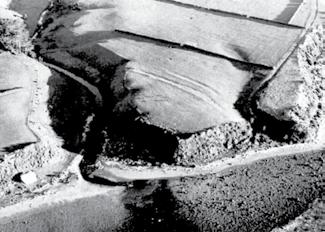
Challenge: Management of access to the historic reserves and providing for the growing development of historic tourism, while maintaining their historic and cultural character, values and attributes.
Response: We will actively monitor and manage the reserves to avoid negative impacts, and use a range of techniques to provide for increasing visitor numbers.
Challenge: There currently is a lack of general public awareness of the role of Iwi for environmental management within the rohe, plus our role with the ownership and management of the classified reserves identified within this management plan.
Response: Te Kāhui o Taranaki will work with the Department of Conservation, local government and key stakeholders (including the media) to continually lift and describe the profile and role of Taranaki Iwi, Hapu and Marae/Pā in land and environmental management. We will also use interpretation methods on key and iconic historic sites to illustrate the long and continual relationship we have the sea, coastline and land.
40 – Taranaki Iwi Rautaki Tiaki Whenua – Reserves Management Plan 2019-2029
Above: The remnants of Haurapari, 0.5 km west of Tataraimaka - the
7.5 Grazing
Challenge: By default a range of grazing agreements and practices have developed for the reserves and properties which were included in the Treaty Settlement. Some of these were formal agreements with previous land owners or managers and some are informal practices that have developed in the absence of active management of these properties. All of the formal agreements lapsed with the settlement, however grazing continues on several sites. It should be noted that grazing is a beneficial activity where weeds and grass management is required, however this needs to be weighted against the impacts of grazing animals on conservation, historic and cultural values.
Response: We will identify where grazing is still happening, fence where we can to exclude informal grazing and implement objectives and policies to actively manage this activity. Refer to sections 8.2 and 8.14.
7.6 Regeneration on sensitive Archaeological Sites
Challenge: The natural regeneration of native shrubs and trees on historic, archaeological and cultural sites can and does damage, destroy and disguise important and significant cultural landforms and attributes. A balance is required so that these attributes and features are not lost, while allowing for natural processes to continue. There are regionally and nationally significant historic features on the reserves addressed in this plan that need preservation in perpetuity. Furthermore, these historic sites, once protected, lend themselves to providing for tourism activities, which in themselves may generate revenue for their ongoing protection.
Response: We will implement several management activities that will meet the challenge of striking a balance between preservation and natural processes. Refer to sections 8.2, 8.4 and 8.8. Furthermore, we will consult with Heritage New Zealand Pouhere Taonga for advice on preferred options for the appropriate care of archaeological sites, changes in land use, and whether archaeological assessments and archaeological authorities are required.
7.7 Plant Pests
Challenge: There is an assortment of exotic weeds within these reserves. Some, like Opunake A and Rahotu A are heavily impacted with weeds.
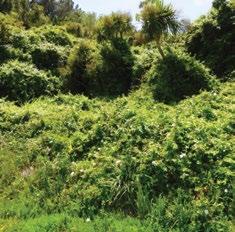
Response: To allow for development and protection of these sites, and create conditions for the restoration of native plants and processes, exotic weeds will be removed, and an ongoing regular maintenance regime will be implemented.
7.8 Animal Pests
Challenge: All of these reserves and properties are impacted in some way by animal pests – possums, feral cats, mustelids or rodents predominantly – which affect the regeneration of native species of bush and trees by browsing, and ongoing predation of native birds, lizards and insects. Some, like Ōāonui Historic Reserve, have had a pest management programme in place at some stage. However, most reserves and properties do not have an existing animal pest programme.
Response: We will rectify this. Refer section 8.12.

Taranaki Iwi Rautaki Tiaki Whenua – 41
Areas heavily impacted with weeds
7.9 Coastal Erosion and Encroachment
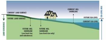
Challenge: ‘Coastal erosion studies show that the entire Taranaki coastline is eroding at long term average rates between 0.05 m/year and 1.89 m/year’ (TRC, 1992). This rate of change is likely to increase with the effects of climate change and rising sealevels (MoE, 2017). Combined with the increase in land erosion from precipitation and general subsidence the coastline will continue to change at an exponential rate.
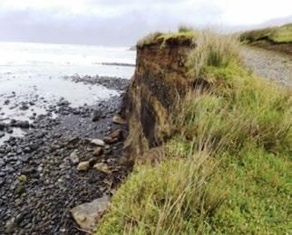
7.10 Other Threats
Challenge: The other main threat to reserves with bush or tree cover is fire. There is a current obligation of the landowner to assist the Fire Authority in control of fire. There are further management options that could be undertaken to minimise the risk of fire – for example, control vehicles travelling over long grass, add on-site fire warnings with a no-cooking zone, and training of staff and regular patrol by wardens.
Response: A fire plan and bylaw will be put in place. Refer section 8.13.
Challenge: Emerging bacterial or fungal threats, like Myrtle Rust, will require a measured and appropriate response. Unauthorised removal or destruction of vegetation, or deliberate harm to native fauna, also poses threats.
Response: An ongoing monitoring programme will be implemented and will be scrutinised by our Kaitiaki Whenua Ranger. Legal compliance will be included in the monitoring and action taken where appropriate. Collaborative responses will be implemented with key stakeholders for regional and national biosecurity issues when required.
Challenge: Inappropriate behaviour of visitors to the reserves and properties.
Response: A passive monitoring system may be useful to identify unacceptable behaviour and activities on key sites. Increasing the number of visitors to the iconic reserves is one way of doing this.
The volcanic threat, as noted in section 5.4, needs to be taken into account for planning.
Above : Change in annual mean sea levels from 1900-2015, and initial predictions to 2020 (RCP2.6 and RCP8.5), MoE 2017
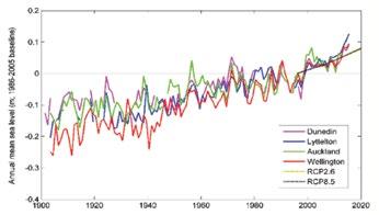
This ongoing change will need to be built into the management of any coastal reserves and properties, and hazard mitigation applied where this is needed. The risk falls within two key categories – the safety of public accessing reserves which have cliff-tops prone to erosion, and the eventual degradation of the coastal land due to this erosion and its reclamation by the sea. An example of both these issues is present at Ōrimupiko Historic Reserve and its incumbent walkway.
Response: We will move quickly to identify hazards and implement controls for public safety and will engage with central government agencies, local government and key stakeholders to collectively participate in a response to this challenge. Refer section 8.3.
42 – Taranaki Iwi
Whenua – Reserves Management Plan 2019-2029
Rautaki Tiaki
Wadhwa, NIWA, in MoE 2017
Ōrimupiko Historic Reserve and walkway.
7.11 Potential Additions
Challenge: At times, there may be the opportunity to add adjacent land to these reserves or properties. Reasons for doing this may be the protection of boundaries; safeguarding historic or cultural features; the provision of mahinga kai; increasing papakāinga; or, in the case of coastal encroachment, ensuring the protection of our current assets, our existing culture and lifestyle for future generations.
Response: A process will be put in place so that decisions around adding to our reserve lands is assessed and weighed appropriately. Enhancing, developing and protecting our current reserves and properties are our initial priorities.
8. Management Objectives and Policies
8.1 Administration, Governance and Management
All of the settlement lands covered in this plan are held in fee simple/freehold title and are therefore owned by Te Kāhui o Taranaki. Those parcels that are designated reserves under the Reserves Act 1977 also need to be managed in accordance with the Reserves Act. Te Kāhui o Taranaki will put in place a management and operational structure that will meet the objectives of this plan and comply with the Reserves Act where this applies.
Objectives:
8.1.a To ensure that Taranaki Iwi, Hapu and Marae/Pā are recognised as Kaitiaki of our settlement lands.
8.1.b To ensure that the management of the classified reserves complies with the requirements of the Reserves Act 1977.
8.1.c To manage and protect the scenic, cultural, archaeological, geological, biological and scientific features of the reserves and their indigenous flora and fauna.
8.1.d To permit entry and access to the classified historic reserves, subject to such conditions and restrictions as the administrating body considers necessary for the protection and general wellbeing of the reserves.
8.1.e To restrict and actively discourage access to culturally and scientifically sensitive sites to only those who have a permit from Te Kāhui o Taranaki, other than Taranaki Iwi or stakeholders involved in the management of the reserves, applying sections 18 (2)(b), 58 and 58 (A) of the Reserves Act 1977 (refer to section 8.4).
8.1.f To maintain ongoing communication with key stakeholders, specifically the Department of Conservation, Heritage NZ Pouhere Taonga, Taranaki Regional Council, New Plymouth District Council and South Taranaki District Council.
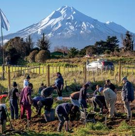
Taranaki Iwi Rautaki Tiaki Whenua – 43
Photo – Angie Walters
Policies:
8.1.1 Te Kāhui o Taranaki will form a Reserve Management Committee to oversee the management and development of the reserves and land parcels covered in this plan. The committee will:
• meet at least twice per annum and may invite representation from the Department of Conservation, Taranaki Regional Council, New Plymouth District Council and South Taranaki District Council for specific advice.
• develop a five-yearly monitoring process to observe and record the reserves’ health.
• develop and report on an annual work-plan which will be funded to give effect to this Reserves Management Plan.
• Maintain ongoing communication with key stakeholders, noted in 8.1.f.
8.1.2 Te Kāhui o Taranaki will employ a Kaitiaki Whenua Ranger to operationalize this plan.
8.1.3 Te Kāhui o Taranaki will actively engage in the conservation protocol with the Department of Conservation.
8.1.4 A Memorandum of Understanding will be requested with the Department of Conservation that will cover a two year transitional period for the historic reserves, until the end of 2020, to allow for mentoring of our Kaitiaki Whenua Ranger and for appropriate operational controls and mechanisms to be implemented.
8.1.5 We will seek to have our Kaitiaki Whenua Ranger warranted under relevant legislation to ensure the compliance of law on our reserves.
8.1.6 We will encourage and work with organisations and community groups who support similar goals for the protection and restoration of our reserves – for example, Shell Taranaki and the Ngatitara Ōāonui Sandy Bay Society for Ōāonui Historic Reserve.
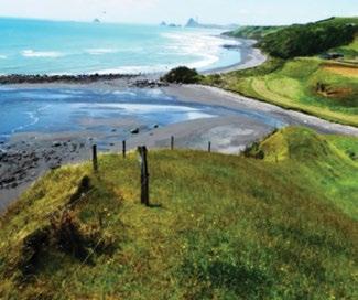
8.1.7 Application will be made to DOC’s Ngā Whenua Rāhui Fund and/or Matauranga Kura Taiao Fund to assist with the development of this plan.
www.doc.govt.nz/ngawhenuarahui
www.doc.govt.nz/get-involved/funding/nga-whenuarahui/matauranga-kura-taiao-fund/).
8.2 Reserve Boundary and Fencing
Fences are used to exclude goats and all stock and to protect the regeneration of plants and to preserve the integrity of sensitive areas and the earthworks of Pā and other archaeological sites. Most of the reserves and properties covered in this plan have fences that are incomplete or are in need of repair. Fencing also assists in the management of visitors to reserves.
Objectives:
8.2.a All boundary fences will be maintained in a stock proof condition.
8.2.b All boundary fences define the land parcels and protect the reserves wherever possible.
Policy:
8.2.1 A fencing plan will be prepared by December 2020 to detail and prioritise fencing work to be carried out in accordance with the Fencing Act 1978, with the objective of completing all necessary fencing work by December 2029.
8.2.2 The annual work-plan described in policy
8.1.1 will include regular checks (at least annually) of the boundary fencing and will provide for sufficient funds to allow repair as and when required
44 – Taranaki Iwi Rautaki Tiaki Whenua – Reserves Management Plan 2019-2029
Ōākura Coast HR – fence, north-eastern end
8.3 Coastal Erosion, Encroachment and Risk Management
As noted in section 7.5 the rate of coastal erosion and encroachment will continue to increase over time in the foreseeable future. The associated risks and hazards fall into two categories;
• the safety of public accessing reserves which have cliff-tops prone to erosion,
• the eventual degradation of the coastal land due to this erosion and its reclamation by the sea.
For public safety, Te Kāhui o Taranaki, has a duty of care under the Occupiers Liability Act 1962 which in section 4 (2) ‘Extent of occupier’s ordinary duty’ states “the common duty of care is a duty to take such care as in all the circumstances of the case is reasonable to see that the visitor will be reasonably safe in using the premises for the purposes for which he is invited or permitted by the occupier to be there.”
Therefore we will put in place management techniques and practices that will minimise the risk to visitors and maximise their safety. One example of this would be to plant out 5 metres back from any dangerous clifftop, with native plants and fence off, and then provide viewing platforms at appropriate sites to encourage visitors to managed locations. This would also link to interpretation at these sites.
For the ongoing encroachment that will continue to erode the coastline and impact on the coastal land and reserves, Te Kāhui o Taranaki will work closely with local authorities and the Department of Conservation to ensure all negative effects of this encroachment will be minimised. We will also initiate discussion with the appropriate central government agencies to seek protection of our reserves. One example of this might be to explore the application of a movable marginal strip adjacent to a hydro parcel.
Objectives:
8.3.a Public safety on reserves will be maximised and a range of techniques will be employed to ensure this.
8.3.b Access to non-classified properties in this plan is restricted to only those who have a permit from Te Kāhui o Taranaki, other than Taranaki Iwi, Hapu and Marae/Pā or stakeholders involved in the use and management of the land parcels.
8.3.c Te Kāhui o Taranaki will maintain open communication with central government agencies regarding coastal encroachment and its effect on the reserves contained in this plan.
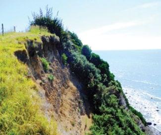
Policies:
8.3.1 We will prepare a hazard and risk management plan by July 2020 to identify the sites of concern for public safety on the classified reserves, and action will be implemented by December 2022 to minimise, isolate or eliminate any risks.
8.3.2 By December 2019, we will initiate discussion with the Office of Treaty Settlements regarding the issue of coastal encroachment and the preservation of the coastal reserves and properties.
Taranaki Iwi Rautaki Tiaki Whenua – 45
Erosion – Waireka HR
8.4 Identification and Preservation of Wāhi Tapu/Taonga
All of the settlement lands have a cultural, spiritual and historic connection to us. The Historic Reserves, particularly, contain areas that are tapu and other areas that are highly sensitive where we would not like visitors. These reserves contain both tangible and intangible values. The utmost care and respect is required on these reserves.
Techniques will be employed to manage visitors in our historic reserves. Examples of this may be the layout and direction of walkways and tracks, the placement and information on interpretation panels, and the use of handrails and fences to physically guide visitors. Where necessary, highly sensitive areas will be fenced off and sections 18 (2)(b) and 58 (d) of the Reserves Act 1977 will be applied to control access to these areas.
Ongoing regeneration of the bush cover can negatively impact on the historic, archaeological and cultural features of many sites. We will determine which high priority site(s) will be actively managed to protect the historic, archaeological and cultural values.
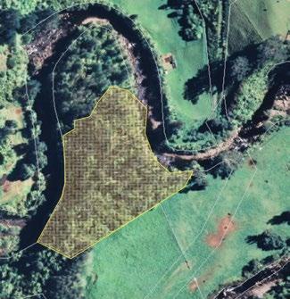
Objectives:
8.4.a To protect and preserve the human remains, urupā and wāhi tapu on our Historic Reserves.
8.4.b We will select iconic historic sites and reserves where the historic, archaeological and cultural values have precedence over the regeneration of the bush cover.
8.4.c Visitors will be both passively and actively managed to direct them away from highly sensitive areas.
Policies:
8.4.1 We will map all of the classified reserves by December 2022, and both the areas for visitor experiences and the areas for restricted access will be identified.
8.4.2 Develop an application process to manage access to restricted sites on the Historic Reserves by December 2023.
8.4.3 We will selectively remove vegetation annually from Tapuīnikau Historic Reserve, where we deem the vegetation is damaging the historic,
archaeological and/or cultural features and by December 2020 an assessment and recording process will be implemented to formalize this policy.
8.4.4 All detrimental vegetation cover may be removed, if considered appropriate, from the southern half of the Pā site at Te Koru to protect and preserve the historic, archaeological and cultural features and values. A detailed archaeological assessment and development plan may be completed by December 2025 to enable this (also refer to policy 8.8.2).
46 – Taranaki Iwi Rautaki Tiaki Whenua – Reserves Management Plan 2019-2029
Vegetation for removal from Te Koru
8.4.5 Early advice and input from Heritage New Zealand Pouhere Taonga will be sought and we will follow the archaeological requirements under the Heritage New Zealand Pouhere Taonga Act 2014, so as to avoid damage to historical and cultural values.
8.4.6 We will engage in the voluntary process for the Taranaki Regional Council Key Native Ecosystems for our historic reserves where this does not compromise the historic, archaeological or cultural values of the sites.
8.4.7 The principles of the International Council on Monuments and Sites (ICOMOS) for the Conservation of Places of Cultural Heritage Values will be applied wherever we undertake preservation or restoration activities in our historic reserves.
8.5 Adjacent Land Use
The dominant use of land adjacent to all our reserves is farming. In some cases, rural residential applies.
Objective:
8.5.a To maintain open communication with adjacent landowners.
Policy:
8.5.1 Te Kāhui o Taranaki will seek support and co-operation of adjoining landowners so that land management practices are sympathetic and compatible to the reserves and their values.
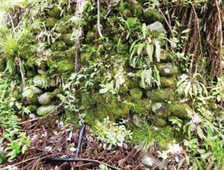
8.5.2 We will seek access agreements with landowners to Manihi Historic Reserve, Okahu Historic Reserve and Tapuīnikau Historic Reserve by December 2020.
8.5.2 By December 2020, we will compile and maintain a list of neighbours contact details so that we can communicate on key topics as required.
Stone revetted walls at Te Koru – a significant historic design feature .
Taranaki Iwi Rautaki Tiaki Whenua – 47
8.6 Interpretation
The rohe is rich with history and provides opportunities for interpretation and description of the historic aspects of the sites themselves, the aspects of pre-European New Zealand, plus the link from then to the present. All of our classified Historic Reserves provide the opportunity to interpret history in a contemporary context. Furthermore, with our iconic reserves, particularly Te Koru, the history of the site(s) and their interpretation, pre-dates European arrival and provides the substantial potential to describe Taranaki Iwi and our life in the centuries beforehand.
Accessing and recording of the historic information will need care and may need to be reconstructed in the context of regional events at the time, and from the histories of transiting Iwi.
Of the non-classified properties, the location of Warea B cannot be overlooked in relation to its proximity to the coast and surfing. An option at this location may be to interpret our history along the coast and the relationship between the sea and the land. It would be a good position for some environmental-care messages and, potentially, a place for a future on-site business, supporting tourism.
Objectives:
8.6.a To continue to grow, record and interpret the history and values (both tangible and intangible) of reserves.
8.6.b To control and actively manage the release of archaeological data to limit the potential for fossicking on the reserves.
Policies:
8.6.1 A long-term research project is commissioned to continue to record the history of Taranaki Iwi, Hapu and Marae/Pā.
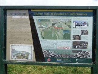
8.6.2 A formal process is developed to assess what parts of this historic information can be released for interpretation, and what is not.
8.6.3 To erect such signs as are necessary for locating and identifying the reserves and interpreting their significant features in a sensitive and meaningful manner. Any further signage will be driven by the interpretation plan identified in 8.8.1.
8.7 Recreation Use
Opportunities exist on the historic reserves for a range of recreational activities. Walks on existing tracks at key sites are currently available. The coastal historic reserves provide the opportunities for passive forms of recreation that are compatible with the ongoing protection of the values and the character of the reserves. Providing picnic tables adjacent to carparks within the historic reserves may be a complementary activity. Any recreation activity closely relates with any tourism development of the sites, for both domestic and international visitors (see 8.8 Tourism Development below).
A concern expressed is that increased visitation may well increase vandalism or negative behaviour on the reserves. Previous research has indicated that increased visitation may well decrease inappropriate behaviours, as genuine visitors monitor and regulate the behaviours of others (NRPA, 2013). Features and activities can be designed to divert attention away from sensitive areas.
Objectives:
8.7.a To ensure that any recreation development of our reserves is compatible with objective 8.1.c.
8.7.b To allow limited growth of recreation opportunities within the historic reserves.
Policies:
8.7.1 Recreational activity on the historic reserves will be limited to activities that complement the sensitive historic, archaeological and cultural values of the sites.
48 – Taranaki Iwi
Whenua – Reserves Management Plan 2019-2029
Rautaki Tiaki
8.8 Tourism Development
The iconic nature of Te Koru, particularly with its links to our pre-European way of life, lends this site to consideration for tourism development. Similarly, Ngāturi Pā/Omata Historic Reserve provides an opportunity to describe the Taranaki Land Wars and the shared histories that we now have.
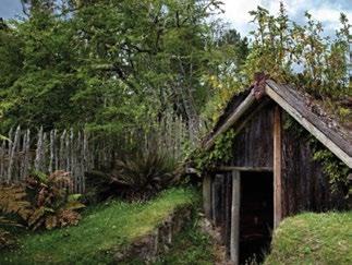
Cultural and heritage tourism is a fast growing section of the tourism industry as both domestic and international visitors seek authentic and informative experiences. As noted in section 6 the stories and context of these reserves provides the means and the opportunity to engage in tourism. Ultimately, on-site opportunities and fully guided interpretative tours of the sites could augment other tourism development in both the local area and the wider Taranaki region, and provide opportunities for our people to engage in tourism related businesses.
As noted in section 8.4, protection and restoration of these sites will preserve the historic, archaeological and cultural features and values of these sites. Associated development will also improve the experiences for visitors and neighbours. One example of this would be to work with New Plymouth District Council to extend the formed sealed road down to the river-flat adjacent to Te Koru Pā. This would improve access to the site while providing secure parking, define the access to the Pā, and remove the parking issue for local residents. In addition, with off-road parking down by the Pā site, it would provide the perfect location for upgraded interpretation and, possibly in the longer-term, on-site business options.
Objectives:
8.8.a To ensure that any tourism development of our historic reserves is compatible with objective
8.1.c.
8.8.b To allow managed growth of tourism within selected historic reserves.
8.8.c To apply a concessions process to control tourism activity and to raise funds to provide for the development and management of tourism infrastructure and any adverse effects.
Policies:
8.8.1 Develop a tourism and interpretation plan for our historic reserves by December 2025, identifying which areas of what reserves will be developed for tourism activities, and the types of activities that will be provided for.
88.2 A separate and detailed development plan will be undertaken for Te Koru, in the same timeframe, that parallels and dovetails the plan in 8.8.1. This development plan will also recognise the tourism potential provided by the clearing of vegetation as in policy 8.4.4.
8.8.3 Any tourism venture for the reserves by third-party operators will require a concession issued by Te Kāhui o Taranaki.
8.8.4 A process will be developed to manage tourism concessions by December 2020.
8.8.5 No recreation or tourism activities will be developed for Maitahi Scientific Reserve and access will be restricted as per objective 8.1.e of this plan and section 21-2(b) of the Reserves Act 1977 and we will request the NZ Gazette notice from the Minister accordingly.
Taranaki Iwi Rautaki Tiaki Whenua – 49
8.9 Buildings and Structures
There is limited requirement for buildings and structures on the historic reserves. The exceptions would be for the replication of historic buildings or structures for the purposes of interpretation or the demonstration of the historical context and values of the reserve, or buildings (like visitors/interpretation centres and toilets) that support visitation to the reserves and that minimise human impacts. Potentially, viewing platforms could be constructed to support the safety provisions for coastal clifftop recreation activity (refer section 8.3). However these should be of the minimum height, and have the lowest visual impact, necessary to do the job.
Any building development for the non-classified properties will need to support, and be compatible with, the relevant development of each of these sites.
Objective:
8.9.a To keep the classified reserves free of buildings, infrastructure utilities and associated structures, unless required in support of general recreation and tourism development and/or protecting heritage values.
8.9.b For the non-classified properties, appropriately designed and located buildings will only be erected for the purposes of supporting the activities relevant for each site.
Policy:
8.9.1 Buildings and structures for historic reserves will be clearly identified in the tourism and interpretation plan covered in policy 8.8.1.
8.9.2 As per section 8.16 a development plan will be undertaken for the non-classified properties that identifies their future use, enhancement and any buildings or structures required.
8.10 Research, Works and Excavation
The iconic historic reserves of Ngāturi Pā/Omata, Tapuīnikau, Tataraimaka and Te Koru are in relatively good condition and the archaeological values of these sites are high, tied to their long cultural history. As noted there is conflict with the regeneration of the native bush on most of these sites and this growth will, over time, negatively impact the quality of these historic, archaeological and cultural values. Therefore, any intervention needs to be carefully considered as it is likely to change the balance of the values on these sites. Any research, works or excavations should support the preservation of the historic, archaeological and cultural values.
Objective:
8.10.a To preserve the historic, archaeological and cultural values of the historic reserves.
8.10.b The scientific integrity of rare plants in Maitahi Scientific Reserve will be maintained.
Policies:
8.10.1 Any research, works or archaeological excavation within any of the historic reserves requires a permit from Te Kāhui o Taranaki.
8.10.2 A process will be developed to robustly assess any application for research, work or excavation on any of our historic reserves, by December 2025.
8.10.3 A historic, archaeological and cultural values reassessment will be undertaken of the each of the historic reserves prior to the review date of this plan.
8.10.4 The monitoring process identified in policy 8.1.1 will include ongoing assessment of key archaeological values of the historic reserves and a survey of scandia rosifolia in Maitahi Scientific Reserve.
8.10.5 Early advice and input from Heritage
New Zealand Pouhere Taonga will be sought and we will follow the archaeological requirements under the Heritage New Zealand Pouhere Taonga Act 2014, so as to avoid damage to historical and cultural values.
50 – Taranaki Iwi Rautaki Tiaki Whenua – Reserves Management Plan 2019-2029
8.11 Plant Pests
Refer to Plant Pest section 7.3.
Objective:
8.11.a To minimise all exotic plant species in the reserves, and eliminate wherever possible.
Policy:
8.11.1 The annual work plan identified in 8.1.1 will give effect to an ongoing plant pest programme.
8.11.2 Plant pests will be monitored in the review process identified in 8.1.1.
8.11.3 Support and co-operation of adjoining landowners as identified in 8.5.1 will also give effect to this objective.
8.11.4 All pine trees will be removed from our reserves and properties by December 2021, and any revenue gained will be directed to the fencing programme, as per 8.2.
8.12 Animal Pests
Refer to Animal Pest section 7.4.
Objectives:
8.12.a The residual-trap-catch rate for possums will be kept below 5% in the classified reserves greater than 2 hectares in size.
8.12.b Any incursion from animal pests, larger than possums (including stock), will be eliminated within 10 working days of reporting.
Policies:
8.12.1 A toxic ‘knock-down’ for possums and mustelids will be conducted every three years on the classified reserves, starting within 2 years of the adoption of this plan.

8.12.2 An ongoing trapping regime, including annual control with bait-stations, will be implemented and maintained on all our properties, starting no later than July 2020.
8.12.3 A goat control response plan and programme will be developed, within the first year following the adoption of this plan, to address and control incursions by goats and stock, and will meet objective 8.12.b.
8.12.4 The annual work plan, as noted in 8.1.1, will give effect to an ongoing animal pest programme.
8.13 Fire
Refer to Fire in ‘Other Threats’ section 7.6.
Objectives:
8.13.a Fire risk will be kept to a minimum on the properties addressed in this plan.
8.13.b Te Kāhui o Taranaki has a process for responding to fire.
Policies:
8.13.1 The historic reserves, Maitahi Scientific Reserve and Waireka Local Purpose Reserve will be ‘fire-free’ areas and signposted accordingly. The Fire Bylaw in section 10.1 applies.
8.13.2 The access roads onto, and alongside, the classified reserves will be clearly defined with the fire risks signposted, and any grass alongside the road(s) will be mown or controlled so that vehicles cannot be parked on areas of grass higher than 50 mm.
8.13.3 A fire response plan will be developed and implemented within 1 year of the adoption of this reserve management plan.
Taranaki Iwi Rautaki Tiaki Whenua – 51
8.14 Grazing
Grazing of the historic, scientific and local purpose reserves is not compatible with the purpose of the reserves. Currently there is casual grazing by neighbours on several parts of the coastal historic reserves, due to the lack of fences, or the existing fences not being in the right place. Grazing, particularly by cows, will gradually diminish historic, archaeological and cultural features as a result of ongoing trampling. Initially the fences need improving – refer to section 8.2.
Virtually all of our non-classified rural properties are also subject to casual grazing, due to the current state of the fences.
Objectives:
8.14.a Our historic, scientific and local purpose reserves will be free of grazing, with the exception of Ngāturi Pā/Omata Stockade where grazing by sheep will be permitted until policy 8.14.1 applies.
8.14.b Our non-classified properties will have grazing if deemed appropriate, where formal arrangements will apply – refer to section 8.16.
Policies:
8.14.1 All grazing of our classified reserves is to cease by December 2025, in conjunction with the fencing plan in policy 8.2.1.
8.14.2 Grazing of our non-classified properties will conform to the development plan in policy
8.16.1.
8.15 Camping
Traditional tent camping is a use that is currently seen as detrimental to the preservation and well-being of the reserves. The increase of freedom camping and self-contained campervans is a growing trend which will need monitoring, particularly on the coastal reserves. It is not necessarily the camping, per se, that may damage reserves, but associated activities like fires and waste. Te Kāhui o Taranaki will not fund facilities to support camping.
Camping by our people on our non-classified properties may be appropriate for certain activities or for supporting relevant events. These uses will be described in the development plan in the next section. There are other properties owned by Taranaki Iwi, Hapu and Marae/Pā that are controlled by Hapu and Marae/Pā and are not included in this plan. The management of camping in these properties is by the relevant Hapu and/or Marae/Pā and is not necessarily covered by the following objectives and policies.
Objective:
8.15.a To prohibit overnight camping in our historic, scientific and local purpose reserves for the duration of this plan. The Camping Bylaw in section 10.1 applies.
8.15.b Any camping in our non-classified properties will be by permit only and will conform to the development plan described in section 8.16.
Policy:
8.15.1 Te Kāhui o Taranaki will work with local authorities to assist in the management of camping in the rohe, especially on our reserves along the coast.
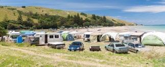
8.15.2 The Freedom Camping Act 2011 will be applied in all instances and we will seek to have our Kaitiaki Whenua Ranger warranted under section 33 of this Act.
8.15.3 The tourism and interpretation plan as described in policy 8.8.1 will determine any future development of camping for our reserves.
8.15.4 The development plan for non-classified properties, as described in section 8.16, will determine any locations for camping and the conditions that may apply for those properties.
52 – Taranaki Iwi
Whenua – Reserves Management Plan 2019-2029
Rautaki Tiaki
8.16 Development of Non-classified Properties
Our non-classified properties provide us with the opportunity to support the continued development of our people and our way of life. These properties, particularly, lend themselves to mahinga kai and rongoā in support of our marae and papakāinga. The location of these freehold properties also help complete the connection of our relationship to the land and sea across our rohe. Potential to grow new or existing business, farming or horticulture activities arise.
Most of these properties will require fencing, weed and animal pest management, grazing arrangements and other management controls as described above. However, we will determine the suitable use of these properties through discussion and research.
Objectives:
8.16.a Our non-classified properties will support our tikanga.
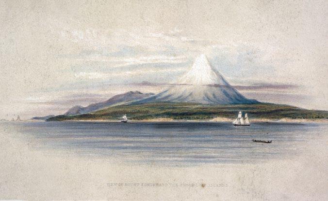
Policy:
8.16.1 A development plan will be undertaken to determine the improvement and use of our non-classified properties, by December 2023, and will include (but not be limited to) mahinga kai, rongoā, horticulture, tourism, fencing, grazing, pest control, camping, historic and cultural links.
8.16.2 Any residential occupation, or use by third parties, of our non-classified properties will be by way of formal agreement by Te Kāhui o Taranaki.
8.16.3 Arrangements for the location of the Civil Defence radio repeater on Kahui A will be formalised by December 2019.
Taranaki Iwi Rautaki Tiaki Whenua – 53
Above: Heaphy, Charles, 1820-1881: View of Mount Egmont and the Sugar Loaf Islands, 1839. [London, Smith, Elder 1845]. Ref: PUBL-0011-01. Alexander Turnbull Library, Wellington, New Zealand.
9. Plan Amendment and Review
The duration of this plan is from its adoption and approval by the Minister of Conservation, for the parts that apply to the classified reserves under the Reserves Act 1977, through to the end of the calendar year 2029.
In the interim, any amendment of this plan can be made through a formal review process managed by Te Kāhui o Taranaki and will require the approval of the Minister of Conservation for any aspects of the plan review that impact on the historic and scientific reserves classified under the Reserves Act 1977.
All other amendments will be adopted at the discretion of Te Kāhui o Taranaki. This plan will be under constant evaluation by us against the implementation of its policies, with a formal review after five years.
A full review of this plan will commence at the start of the calendar year 2029 and will incorporate and amalgamate all of the work undertaken as policies of this plan.
10. Bylaws
Pursuant to section 107 and 108 of the Reserves Act 1977 the follow bylaws will be enabled with the approval of this Management Plan by Te Kāhui o Taranaki as the administering body, the authorisation of the Minister, and their public notification accordingly, to give effect to the objectives contained within;
10.1 Fire
No fires are permitted within the following reserves: Manihi, Ngāturi Pā/Omata, Oākura, Ōāonui, Okahu, Ōkato, Opunake Coast, Ōrimupiko, Pungarehu, Tapuīnikau, Tataraimaka, Te Koru and Waireka Historic Reserves, Waireka Local Purpose Reserve or Maitahi Scientific Reserve.
10.2 Camping
No overnight camping is permitted within Manihi, Ngāturi Pā/Omata, Oākura, Ōāonui, Okahu, Ōkato, Opunake Coast, Ōrimupiko, Pungarehu, Tapuīnikau, Tataraimaka, Te Koru and Waireka Historic Reserves, Waireka Local Purpose Reserve or Maitahi Scientific Reserve.
The legal titles for these reserves are in section 4.2.
54 – Taranaki Iwi Rautaki Tiaki Whenua – Reserves Management Plan 2019-2029
11. Glossary
Atua – Traditional domains of personified influence
Hawaiki – Ancient homeland - the places from which Māori migrated to Aotearoa/New Zealand. According to some traditions it was Io, the supreme being, who created Hawaiki-nui, Hawaiki-roa, Hawaiki-pāmamao and Hawaiki-tapu, places inhabited by atua. It is believed that the wairua returns to these places after death
Kāinga – Settlement
Kaitiaki – Guardians
Kaitiakitanga – Guardianship
Mahinga kai – Food gathering, preparation and preservation locations
Mana whenua – Authority/jurisdiction of customary rights associated with a tribal region or traditionally recognised area of land
Mana Moana – Authority/jurisdiction of customary rights associated with a tribal region or traditionally recognised section of coastline or marine area
Mātaitai – Seafood
Moana – Ocean
Mounga – Taranaki Mounga is the much-revered peak at the heart of the Taranaki Rohe. See page 34-35 for further narrative
Mouri – Essential character or shared relationship with community
Mouri kōhatu – Stones with cultural significance representing a community’s relationship with the environment
Ngā Tai o Mākiri – Spring tides or king tides
Ngā Uri o Taranaki Iwi – Taranaki Iwi descendants
Ngāi tipu me ngāi kīrehe – indigenous flora and fauna
Ora – Active, healthy or alive
Pā/Papakāinga – A shared communal living area
Papatūānuku – Atua of the earth, earth mother and wife of Ranginui – all living things originate from them
Ranginui – Atua of the sky and air husband of Papatūānuku, from which union originate all living things
Raranga – Traditional weaving using long strips of leaves
Rohe – The traditional tribal region of Taranaki Iwi
Rongo – Atua of the kūmara, cultivated food and peace
Rua – Cave
Rongoā – Traditional Māori Medicine
Tāne – Atua of the forests and all taonga and birds within
Tangaroa ki Tai – Atua of the ocean and all taonga within. Coastal Marine Area and out to the Exclusive Economic Zone and to Hawaiki
Tangaroa ki Uta – Atua of waterbodies and all taonga within. Including the waterbodies flowing from Mounga Taranaki
Taonga – Treasure, anything prized - applied to anything considered to be of value including socially or culturally valuable objects, resources, phenomenon, ideas and techniques
Taranaki Iwi – The tribal grouping of Taranaki Iwi
Tauranga ika – Fishing grounds
Tauranga waka – Boat channels for launching and landing
Tāwhirimātea – Atua of air, light, wind, sky, cloud, rain, hail, snow and storms
Te Kāhui o Taranaki Trust – The current authority of Taranaki Iwi
Tikanga – Recognised community practice
Whakaparapara – Natural composting and material used for fertilising
Whānau – Extended family grouping
Whatu – Traditional weaving
Taranaki Iwi Rautaki Tiaki Whenua – 55
12. References
Best, Elsdon
The Pa Maori. New Zealand Dominion Museum, Bulletin No 6, Whitcombe and Tombs Ltd, Wellington, 1927.
Chappell, P.R.
The Climate and Weather of Taranaki, 2nd Edition. NIWA Science and Technology Series, No 64. ISSN 1173-0382. NIWA 2014.
Department of Lands and Survey
DRAFT Ōmata Stockade Historic Reserve Management Plan, Department of Lands and Survey, New Plymouth, c. 1982-4
Department of Lands and Survey
DRAFT Tapuīnikau Pa Historic Reserve Management Plan, Department of Lands and Survey, New Plymouth, c. 1982-4
Department of Lands and Survey
DRAFT Tataraimaka Pa Historic Reserve Management Plan, Department of Lands and Survey, New Plymouth, c. 1982-4
Department of Lands and Survey
DRAFT Te Koru Pa Historic Reserve Management Plan, Department of Lands and Survey, New Plymouth, c. 1982-4
Gumley, Warren
Archaeological mapping of pa in four Taranaki Historic Reserves. Science for Conservation 60: ISBN 0-478-01947-5. Department of Conservation, October 1987.
Ministry of the Environment
Coastal Hazards and Climate Change; guidance for local government. ISBN 978-1-98-852535-8. Ministry for the Environment, Wellington, 2017.
Neall, V.E.; Alloway, B.V. Volcanic hazards at Egmont volcano. 2nd ed. [Palmerston North, NZ]: Ministry of Civil Defence. Volcanic hazards information series 1, 1993.
NRPA
Creating Safe Park Environments to Enhance Community Wellness. National Recreation and Parks Association (US) c. 2013. www.nrpa.org/contentassets/ f768428a39aa4035ae55b2aaff372617/park-safety.pdf
Prickett, Nigel
Historic Taranaki; An Archaeological Guide. ISBN 0-477-00027-4. The Bookmakers Book, 1990, Wellington.
Prickett, Nigel
The Military Engagement at Katikara, 4 June 1863. Records of the Auckland Museum 45: 5.41, 2008. Smith S.P.
History and Traditions of the Maoris of the West Coast, North Island of New Zealand, Prior to 1840. Memoirs of the Polynesian Society. Vol I Thomas Avery, New Plymouth, 1910.
Taranaki Iwi
Taiao, Taiora; An Iwi Environmental Management Plan for the Taranaki Iwi Rohe. Te Kāhui o Taranaki, 2018.
Taranaki Regional Council (TRC)
Coastal marine area: resource description and management issues. Taranaki Regional Council, Stratford, 1992.
Walton, Anthony.
Archaeology of the Taranaki-Whanganui Region. Science for Conservation 154: ISBN 0-478-21965-2. Department of Conservation, October 2000.
56 – Taranaki Iwi Rautaki Tiaki Whenua – Reserves Management Plan 2019-2029
13. Appendices
13.1A Section 18, Reserves Act 1977 – Historic Reserves
(1) It is hereby declared that the appropriate provisions of this Act shall have effect, in relation to reserves classified as historic reserves, for the purpose of protecting and preserving in perpetuity such places, objects, and natural features, and such things thereon or therein contained as are of historic, archaeological, cultural, educational, and other special interest.
(2) It is hereby further declared that, having regard to the general purposes specified in subsection (1), every historic reserve shall be so administered and maintained that—
(a) the structures, objects, and sites illustrate with integrity the history of New Zealand:
(b) the public shall have freedom of entry and access to the reserve, subject to the specific powers conferred on the administering body by sections 58 and 58A, to any bylaws under this Act applying to the reserve, and to such conditions and restrictions as the administering body considers to be necessary for the protection and general well-being of the reserve and for the protection and control of the public using it:
(c) where scenic, archaeological, geological, biological, or other scientific features, or indigenous flora or fauna, or wildlife are present on the reserve, those features or that flora or fauna or wildlife shall be managed and protected to the extent compatible with the principal or primary purpose of the reserve:
(d) to the extent compatible with the principal or primary purpose of the reserve, its value as a soil, water, and forest conservation area shall be maintained:
(e) except where the Minister otherwise determines, the indigenous flora and fauna and natural environment shall as far as possible be preserved:
provided that nothing in paragraph (c) shall authorise the doing of anything with respect to fauna or wildlife that would contravene any provision of the Wildlife Act 1953 or any regulations or Proclamation or notification under that Act, and nothing in this subsection shall authorise the doing of anything with respect to archaeological features in any reserve that would contravene any provision of the Heritage New Zealand Pouhere Taonga Act 2014.
13.1B Section 21, Reserves Act 1977 – Scientific Reserves
(1) It is hereby declared that the appropriate provisions of this Act shall have effect, in relation to reserves classified as scientific reserves, for the purpose of protecting and preserving in perpetuity for scientific study, research, education, and the benefit of the country, ecological associations, plant or animal communities, types of soil, geomorphological phenomena, and like matters of special interest.
(2) It is hereby further declared that, having regard to the general purposes specified in subsection (1), every scientific reserve shall be so administered and maintained under the appropriate provisions of this Act that—
(a) except where the Minister otherwise determines, the indigenous flora and fauna shall as far as possible be preserved and the exotic flora and fauna shall as far as possible be exterminated:
(b) for the adequate protection and management of the reserve, the Minister may from time to time, by notice in the Gazette, prohibit access to the whole or any specified part of the reserve, and in that case no person shall enter the reserve or, as the case may be, the part so specified, except under the authority of a permit issued under section 48A or section 59:
(c) where scenic, historic, archaeological, biological, or natural features are present on the reserve, those features shall be managed and protected to the extent compatible with the principal or primary purpose of the reserve: provided that nothing in this paragraph shall authorise the doing of anything with respect to fauna that would contravene any provision of the Wildlife Act 1953 or any regulations or Proclamation or notification under that Act, or the doing of anything with respect to archaeological features in any reserve that would contravene any provision of the Heritage New Zealand Pouhere Taonga Act 2014:
(d) to the extent compatible with the principal or primary purpose of the reserve, its value as a soil, water, and forest conservation area shall be maintained:
Taranaki Iwi Rautaki Tiaki Whenua – 57
(e) with the consent of the Minister, the reserve, or any specified part of the reserve, may be manipulated for experimental purposes or to gain further scientific knowledge.
(3) For the purposes of subsection (2)(b), where access to the whole or any specified part of a scientific reserve has been prohibited except under the authority of a permit to enter the reserve or that part of the reserve, the expression “enter the reserve or, as the case may be, the part of the reserve so specified” shall, where the reserve or that part is an island or comprises most of an island, be deemed to include making any physical contact with the land by a boat; and for this purpose any physical contact with the land shall be deemed to include the attaching (by rope or otherwise) of a boat to the reserve or to a wharf constructed on or partly on the reserve.
(4) For the purposes of subsections (2)(b) and (3), where the foreshore of any scientific reserve which is an island or part of an island does not form part of the reserve which it adjoins, the foreshore shall be deemed to form part of the reserve.
13.1C Section 23, Reserves Act 1977 – Local Purpose Reserves
(1) It is hereby declared that the appropriate provisions of this Act shall have effect, in relation to reserves classified as local purpose reserves for the purpose of providing and retaining areas for such local purpose or purposes as are specified in any classification of the reserve.
(2) It is hereby further declared that, having regard to the specific local purpose for which the reserve has been classified, every local purpose reserve shall be so administered and maintained under the appropriate provisions of this Act that—
(a) where scenic, historic, archaeological, biological, or natural features are present on the reserve, those features shall be managed and protected to the extent compatible with the principal or primary purpose of the reserve: provided that nothing in this paragraph shall authorise the doing of anything with respect to fauna that would contravene any provision of the Wildlife Act 1953 or any regulations or
Proclamation or notification under that Act, or the doing of anything with respect to archaeological features in any reserve that would contravene any provision of the Heritage New Zealand Pouhere Taonga Act 2014: provided also that nothing in this paragraph shall authorise the doing of anything with respect to any esplanade reserve created under section 167 of the Land Act 1948, or section 190(3) or Part 25 of the Municipal Corporations Act 1954 or Part 2 of the Counties Amendment Act 1961 and existing at the commencement of this Act, or any local purpose reserve for esplanade purposes created under the said Part 25 or Part 2 or under Part 20 of the Local Government Amendment Act 1978 or under Part 10 of the Resource Management Act 1991 after the commencement of this Act, that would impede the right of the public freely to pass and repass over the reserve on foot, unless the administering body determines that access should be prohibited or restricted to preserve the stability of the land or the biological values of the reserve:
(b) to the extent compatible with the principal or primary purpose of the reserve, its value as a soil, water, and forest conservation area shall be maintained.
(3) Where a local purpose reserve is vested in a local authority or where the administering body is a local authority, it may from time to time, by public notice, prohibit access to the whole or any specified part of the reserve, and in that case no person shall enter the reserve or, as the case may be, that part, except under the authority of a permit issued by the local authority.
(4) Where a local purpose reserve is not vested in a local authority and a local authority has not been appointed to control and manage it, the Minister may from time to time, by public notice, prohibit access to the whole or any specified part of the reserve, and in that case no person shall enter the reserve or, as the case may be, that part, except under authority of a permit issued by the Minister.
58 – Taranaki Iwi Rautaki Tiaki Whenua – Reserves Management Plan 2019-2029
13.1D Section 24, Reserves Act 1977 - Change of classification or purpose or revocation of reserves
(1) Subject to section 13(2), where—
(a) the Minister considers for any reason that a change of classification or purpose of the whole or part of any reserve is advisable or that the reservation of any land as a reserve should be revoked; or
(b) the local authority within whose district a reserve is situated or the administering body of any reserve notifies the Commissioner in writing that, pursuant to a resolution of the local authority or of the administering body, as the case may be, it considers for any reason, to be stated in the resolution, that the classification or purpose of the whole or part of the reserve should be changed to another classification or purpose, or that the reservation of the whole or part of the land as a reserve should be revoked,— then, subject to the succeeding provisions of this section, the Minister may, in his or her discretion, by notice in the Gazette, change the classification or purpose of the whole or part of the reserve, which thereafter shall be held and administered for that changed classification or purpose, or revoke the reservation of the whole or part of the land as a reserve: provided that the classification of any government purpose reserve for railway purposes shall not be changed and the reservation of the land or any part thereof as such a reserve shall not be revoked except with the consent of the Minister of Railways.
(2) Before any classification or purpose is changed or any reservation is revoked pursuant to subsection (1),—
(a) where subsection (1)(a) applies and there is an administering body of the reserve, the Commissioner shall notify the administering body in writing as to the Minister’s reasons for considering that a change of classification or purpose is advisable or, as the case may be, that the reservation should be revoked, and shall invite the administering body to comment thereon in writing to the Commissioner:
(b) the administering body of the reserve after consulting the Commissioner, or the
Commissioner if there is no administering body, shall publicly notify the proposed change of classification or purpose or proposed revocation of reservation, as the case may be, specifying the reason or reasons for the proposal:
(c) every person claiming to be affected by the proposed change of classification or purpose or revocation shall have a right of objection to the change or revocation, and may, at any time within 1 month after the date of the first publication of the notice of the proposal, give notice in writing of his or her objections to the proposed change or revocation and of the grounds thereof to the Commissioner if there is no administering body, and to the principal administrative officer or chief executive of the administering body in any other case, who shall forward all such objections to the Commissioner with a copy of the resolution of the administering body in relation to those objections, after the administering body has considered those objections: provided that, where the date of the first publication of the notice of the proposal falls between the period commencing with 10 December in any year and ending with 10 January in the next succeeding year, notice of objection to the proposed change or revocation may be given at any time before 10 February next following that period:
(d) where a local authority which is not the administering body initiates action under subsection (1)(b) to change the classification or purpose of or to revoke the reservation of the whole or part of the land as a reserve, the local authority shall notify the administering body in writing of the resolution of the local authority, and the reasons for it, and the administering body shall notify the Commissioner in writing of the attitude of the administering body to the proposed change of classification or purpose or to the proposed revocation:
(e) the Minister shall as soon as practicable consider the proposed change of classification or purpose or revocation and all objections received thereto and, in the case of objections made to an administering body, the resolution of the administering body thereon, and, in any case where paragraph (d) applies, the attitude of the administering body to the proposal:
Taranaki Iwi Rautaki Tiaki Whenua – 59
(f) the Minister shall have power to receive such submissions and make such inquiries as he or she thinks fit on the proposal:
(g) the procedure to be followed by the Minister in any matter arising under this section shall be as prescribed in regulations made under this Act or, where there are no such regulations or so far as the regulations do not extend, as the Minister determines:
(h) any person who does not lodge an objection in accordance with this subsection shall be deemed to have assented to the change of classification or purpose or the revocation of reservation set forth in the public notification.
(3) No change of classification or purpose of a scenic, nature, or scientific reserve, or any part thereof, to a recreation, historic, government purpose, or local purpose reserve shall be made, except where, in the opinion of the Minister, the reserve or the part thereof is by reason of the destruction of the forest, bush, or other vegetation, or of the fauna or scientific or natural features thereon, or for any other like cause, no longer suitable for the purposes of its classification.
(4) [Repealed]
(5) No change of classification or purpose nor any revocation of reservation of an historic reserve or any part thereof shall be made, except where, in the opinion of the Minister, the reserve or the part thereof is by reason of the destruction of the historic features or for any other cause no longer suitable for the purpose of its classification, or where, in the opinion of the Minister, the change of classification or purpose or the revocation is required in the public interest. The Minister shall obtain a report from Heritage New Zealand Pouhere Taonga before making his or her decision.
(6) Subsection (2) shall not apply to any government purpose reserve, but no change of classification or purpose or revocation of the reservation of such a reserve or any part of such a reserve shall be made without the prior approval of the Minister appointed under section 22 or section 36 to control and manage that reserve.
(7) Subsection (2) shall not apply to any local purpose reserve, other than a reserve made on a subdivision of land under section 13 of the Land Subdivision in Counties Act 1946 or a reserve
vested in the Corporation of a borough pursuant to the Municipal Corporations Act 1954 or the Corporation of a county pursuant to Part 2 of the Counties Amendment Act 1961 or section 16 of the Land Act 1924 or section 17 of the Land Laws Amendment Act 1920 or Part 20 of the Local Government Act 1974 (as enacted by section 2 of the Local Government Amendment Act 1978) or as a condition of any resource consent under the Resource Management Act 1991: provided that the Minister may, after considering such evidence as may be submitted to him or her, direct that the proposals be publicly notified, and in that case subsection (2) shall apply.
(8) The Minister must not change the classification or purpose, or revoke the reservation status, of the whole or a part of a nature reserve or a scientific reserve under subsection (1).
(9) Instead, a change to the classification or purpose, or the revocation of the reservation status, of the whole or a part of a nature reserve or a scientific reserve must be made by the Governor-General by Order in Council, on the recommendation of the Minister.
(10) The Minister must not make a recommendation under subsection (9) to change the classification or purpose, or to revoke the reservation status, of a nature reserve or a scientific reserve unless—
(a) the Minister is satisfied that the reserve is no longer suitable for the purposes of its classification because of the destruction of its forest, bush, or other vegetation, or of its fauna or natural or scientific features, or for any other similar cause; and
(b) the Minister has complied with subsection (2), with any necessary modifications.
(11) Subsection (10)(a) does not apply if the intended change of classification is from—
(a) nature reserve to scientific reserve or scenic reserve:
(b) scientific reserve to nature reserve or scenic reserve.
60 – Taranaki Iwi Rautaki Tiaki Whenua – Reserves Management Plan 2019-2029
13.2 Conservation Protocol –Taranaki Iwi and Department of Conservation
A protocol issued by the Crown through the Minister of Conservation regarding Taranaki Iwi and the Department of Conservation.
1 Introduction
1.1 Under the Deed of Settlement dated 5 September 2015 between Taranaki Iwi and the Crown (the “Deed of Settlement”), the Crown agreed that the Minister of Conservation (the “Minister”) would issue a Protocol (“the Protocol”) setting out the basis upon which the Department of Conservation (the “Department”) will interact with the Taranaki Iwi Governance Entity (the “Governance Entity”) across the Taranaki Iwi Area of Interest (Attachment A) (the “Protocol Area”).
1.2 Taranaki Iwi has cultural, spiritual, traditional and historic associations with the land, waters and indigenous flora and fauna within the Protocol Area, and accept a responsibility as kaitiaki under tikanga Māori to preserve, protect and manage natural and historic resources.
1.3 The Department’s functions include managing “for conservation purposes, all land, and all other natural and historic resources” under the Conservation Legislation. This must be interpreted and administered so as to give effect to the principles of the Treaty of Waitangi, to the extent that those principles are consistent with the Conservation Legislation.
1.4 This Protocol is a framework to foster the development of a positive, collaborative and enduring relationship into the future.
2 Communication
2.1 The Department will maintain effective and efficient communication with Taranaki Iwi on an ongoing basis by:
2.1.1 Maintaining a record of the Governance Entity’s office holders, and their addresses and contact details; and
2.1.2 Meeting with the Governance Entity at least once a year to discuss issues of shared interest;
2.1.3 Discussing with the Governance Entity
concerns and issues notified by the Governance Entity about this Protocol;
2.1.4 Training relevant staff and endeavour to brief Conservation Board and New Zealand Conservation Authority members of the content of this Protocol;
2.1.5 Advising the Governance Entity of any departmental policy directions and the receipt of any research reports relating to matters of interest to Taranaki Iwi within the Protocol Area, and provide copies of such documents to the Governance Entity;
2.1.6 Advising the Governance Entity of any key departmental staff changes, where those staff members are key points of contact between the Department and the Governance Entity; and
2.1.7 Inviting the Governance Entity to participate in specific departmental projects, including education, volunteer, training and conservation events that may be of interest to Taranaki Iwi.
3 Visitor and Public Information
3.1 The Department shares its knowledge about natural and historic heritage with visitors and the general public. This is to increase their enjoyment and understanding of this heritage, and to develop their awareness of the need for its conservation.
3.2 The Department will work with the Governance Entity to raise awareness of conservation partnerships between the Governance Entity, the Department and other stakeholders, or example, by way of publications, presentations and seminars;
3.3 The Department will work with the Governance Entity to encourage respect for Taranaki Iwi cultural heritage values by ensuring that information contained in any Department publication is accurate and appropriate by:
3.3.1 except as required by law obtaining the consent of the Governance Entity for disclosure of information from it;
3.3.2 making decisions jointly with the Governance Entity regarding the use of information about Taranaki Iwi values for new interpretation panels, signs and visitor publications; and
3.3.3 correcting information supplied by or about Taranaki Iwi where requested by the Governance Entity.
Taranaki Iwi Rautaki Tiaki Whenua – 61
4 Cultural Materials
4.1 The Minister and/or Director-General shall, in accordance with legislative requirements:
4.1.1 work in partnership with the Governance Entity to develop and agree a process to authorise members of Taranaki Iwi to access and use cultural materials within the Protocol Area when required for cultural purposes;
4.1.2 agree, where appropriate for Taranaki lwi to have access to Cultural Materials which become available as a result of departmental operations such as track maintenance or clearance, or culling of species, or where materials become available as a result of accidental death or through natural causes or otherwise; and
4.1.3 where other persons apply for access to materials that are considered cultural materials by Taranaki lwi, the Minister and/or DirectorGeneral will consult with the Governance Entity and have regard to its views.
4.2 The Department and the Governance Entity shall jointly develop procedures for monitoring levels of use of cultural materials in accordance with the relevant legislation and appropriate tikanga.
4.3 The Department will waive or reduce any recovery of authorisation costs for collection by Taranaki Iwi of cultural material.
5 Marine Mammals
5.1 All species of marine mammal occurring within New Zealand and New Zealand’s fisheries waters are absolutely protected under the Marine Mammals Protection Act 1978. The Department has responsibilities for the protection, conservation and management of all marine mammals, including their disposal and the health and safety of its staff and any volunteers under its control, and the public.
5.2 The Governance Entity will be advised of marine mammal strandings within the area of interest. A co-operative approach will be adopted with Taranaki Iwi for the management of stranding events, including recovery of bone (including teeth and baleen) for cultural purposes and burial of marine mammals. The Department will make reasonable efforts to inform the Governance Entity before any decision is made to euthanize a marine mammal or gather scientific information.
6 Freshwater Fisheries
6.1 The Department’s functions include the preservation, as far as practicable, of all indigenous freshwater fisheries, and the protection of recreational freshwater fisheries and their habitats. Active management is limited to whitebait fishing and those fisheries and habitats that are located on public conservation land. In all other areas, advocacy for the conservation of freshwater fisheries is undertaken primarily through Resource Management Act processes.
6.2 A co-operative approach will be adopted with the Governance Entity in the conservation of freshwater fisheries and freshwater habitats. This may include seeking to identify areas for cooperation in the protection of riparian vegetation and habitats, and consulting with the Governance Entity when the Department is developing or contributing to research and monitoring programmes.
6.3 The Department shall consult with the Governance Entity, and provide for its participation where reasonably practical in the conservation management (including research and monitoring) of customary freshwater fisheries and freshwater fish habitats.
7 Sites of Significance
7.1 The Department aims to conserve historic places and structures in areas managed under conservation legislation. It will endeavour to do this for sites of significance to Taranaki Iwi in co-operation with the Governance Entity and according to Taranaki Iwi tikanga and professional standards.
7.2 At the request of Taranaki Iwi, information relating to Taranaki Iwi sites of significance will be treated in confidence by the Department (subject to any statutory obligation under the Official Information Act 1982 or any other legislation) in order to preserve the wahi tapu nature of sites of significance to Taranaki Iwi.
8 National Programmes
8.1 The Department aims to conserve the full range of New Zealand’s ecosystems, maintain or restore the ecological integrity of managed sites, and ensure the survival of threatened species, in particular those most at risk of extinction. To do this, it conducts a number of national programmes.
62 – Taranaki Iwi Rautaki Tiaki Whenua – Reserves Management Plan 2019-2029
8.2 When it conducts national programmes within the Protocol Area, the Department will inform the Governance Entity of the national sites and species programmes on which the Department will be actively working, and provide opportunities for the Governance Entity to participate in these programmes.
9 Pest Control
9.1 Preventing, managing and controlling threats to natural, historic and cultural values from animal and weed pests ls an integral part of the Department’s work. This is done in a way that maximises the value from limited resources available to do this work.
9.2 The Governance Entity will be consulted on pest control activities, particularly in relation to the use of poisons, and will be provided with opportunities to discuss programmes and outcomes.
10 Resource Management Act 1991
10.1 From time to time, Taranaki Iwi and the Department will each have concerns with the effects of activities controlled and managed under the Resource Management Act 1991.
10.2 The Governance Entity and the Department will seek to identify issues of mutual interest and/or concern ahead of each party making submissions in Resource Management Act processes.
10.3 It is recognised that the concerns of the Department and the Governance Entity in any resource management issue may diverge and also that the Department and the Governance Entity may continue to make separate submissions in any Resource Management Act processes.
11 Business and Management Planning
11.1 The Department’s annual business planning process determines the Department’s conservation work priorities.
11.2 The Department will involve the Governance Entity in business planning relating to the Protocol Area.
11.3 The Department will also approach the Governance Entity with potential departmental projects in the Protocol Area to seek the Governance Entity’s views on those projects, and to discuss if the Governance Entity would wish to be involved in or to contribute to those projects.
11.4 The Governance Entity will be able to request specific projects to be undertaken. Such requests will be taken forward into the business planning process and considered by the Department when it determines its overall priorities.
11.5 If a specific project is not advanced, the Department will advise the Governance Entity of the reasons for this.
11.6 The Governance Entity will have opportunities to provide early input into relevant Conservation Management Strategy reviews, or Management Plans if any, within the Area of Interest.
12 Overarching Management Plan
12.1 The Department and the Governance Entity will meet within 12 months of the settlement date to develop overarching principles and a management plan for sites transferred to Taranaki Iwi as part of their historical Treaty of Waitangi settlement with the Crown.
12.2 Upon the completion of the overarching principles outlined in clause 12.1 of this Protocol, the Department and Governance Entity will meet and discuss projects for the sites as set out in clause 11 of this Protocol.
12.4 The Department and the Governance Entity acknowledge that each party can only make commitments within their respective resources and capacity.
13 Concession Applications
13.1 The Department with work with the Governance Entity to identify categories of concession applications or renewals of concession applications within the Protocol Area that may impact on the cultural or historic values of Taranaki Iwi, as identified from time to time by Taranaki Iwi and the Department.
13.2 As the Department works within time limits to process concession applications, it will notify the Governance Entity of the time frames for making comments.
13.3 Prior to issuing concessions to carry out activities on land managed by the Department within the Protocol Area, the Minister will encourage early and ongoing communication between the proposed concessionaire and the Governance Entity.
Taranaki Iwi Rautaki Tiaki Whenua – 63
14 Consultation
14.1 Where consultation is required under this Protocol, the Department will:
14.1.1 Ensure that the Governance Entity is consulted as soon as reasonably practicable following the identification of the proposal or issues to be the subject of the consultation;
14.1.2 Provide the Governance Entity with sufficient information and time to make informed comments and/or submissions in relation to any of the matters that are subject of the consultation;
14.1.3 Approach the consultation with an open mind and genuinely consider any views and/or concerns that the Governance Entity may have in relation to any of the matters that are subject to the consultation.
14.1.4 Report back to the Governance Entity on any decision that is made.
15 Contracting for Services
15.1 Where appropriate the Department will consider Taranaki Iwi individuals or entities as providers of professional services, including cultural advice and pest management where those services are necessary to successfully manage conservation resources affecting the Protocol Area.
16 Protocol Review
16.1 This Protocol is a living document which should be updated and adapted to take account of future developments.
16.2 If either the Department or Governance Entity so request the Protocol the first review of this Protocol is to occur 12 months from the settlement date and thereafter at intervals agreed by the Department and Governance Entity.
17 Definitions
17.1 In this Protocol:
Conservation Management Strategy has the same meaning as in the Conservation Act 1987;
Conservation Legislation means the Conservation Act 1987 and the statutes in the First Schedule of the Act;
Crown means Her Majesty the Queen in right of New Zealand and includes, where appropriate, the Ministers and Departments of the Crown that are involved in, or bound by the terms of the Deed of Settlement to participate in, any aspect of the redress under the Deed of Settlement;
Cultural Materials means’ plants, plant materials, and materials derived from dead wildlife or marine mammals for which the Department is responsible within the Area of Interest and which are important to Taranaki Iwi in maintaining and expressing its cultural values and practices;
Department means the Minister of Conservation, the Director-General and the Departmental managers to whom the Minister of Conservation’s and the Director- General’s decision-making powers can be delegated;
Governance Entity means the trust known as Te Kāhui o Taranaki Trust established by trust deed dated 24 June 2013;
Taranaki Iwi has the meaning set out in clause 8.6 of the Deed of Settlement;
Kaitiaki means environmental ‘guardians;
Protocol means a statement in writing, issued by the Crown through the Minister of Conservation to the Governance Entity under the Settlement Legislation and the Deed of Settlement and includes this Protocol;
Tikanga Māori refers to Māori traditional customs.
64 – Taranaki Iwi Rautaki Tiaki Whenua – Reserves Management Plan 2019-2029
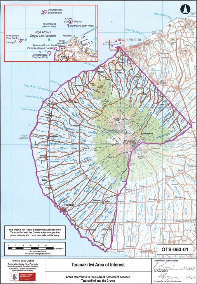
Taranaki Iwi Rautaki Tiaki Whenua – 65
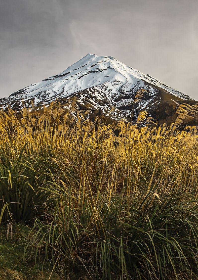
66 – Taranaki Iwi
–
2019-2029
Rautaki Tiaki Whenua
Reserves Management Plan
Schedule 1 Summary of Terms of Issue
This Conservation Protocol is issued subject to the provisions of the Deed of Settlement and the Settlement Legislation. A summary of the relevant provisions is set out below.
1 Amendment and Cancellation
1.1 The Minister may amend or cancel this Protocol but only after consulting with the Taranaki Iwi Governance Entity and having particular regard to its views (section 23(2)).
2 Noting
2.1 A summary of the terms of this Protocol must be noted in the Conservation Documents affecting the Protocol Area but the noting
2.1.1 is for the purpose of public notice; and
2.1.2 does not amend the Conservation Documents for the purposes of the Conservation Act 1987 or the National Parks Act 1980 (section 26( 1) and (2)).
3 Limits
3.1 This Protocol does not:
3.1.1 restrict the Crown from exercising its powers and performing its functions and duties, in accordance with the law and government policy, including:
(a) introducing legislation; or
(b) changing government policy; or
(c) issuing a protocol to or interacting or consulting with anyone the Crown considers appropriate including any iwi, hapu, marae, whanau or representatives of tangata whenua (section 24(a));
3.1.2 restrict the responsibilities of the Minister or the Department or the legal rights of Taranaki Iwi (section 24(b) and (c));
3.1.3 grant, create or provide evidence of an estate or interest in or rights relating to:
(a) land held, managed or administered under Conservation Legislation; or
(b) flora or fauna managed or administered under Conservation Legislation; or
(c) rights relating to the common marine and coastal areas defined in section 9(1) of the Marine and Coastal Areas (Takutai Moana) Act 2011 (section 26(3)).
4 Breach
4.1 Subject to the Crown Proceedings- Act 1950, the Governance Entity may enforce the Protocol if the Crown breaches it without good cause, but damages or monetary compensation will not be awarded (this does not exclude a Court from awarding costs incurred in enforcing the Protocol (section 25(2)).
4.2 A breach of this Protocol is not a breach of the Deed of Settlement. (clause 5.24).
Taranaki Iwi Rautaki Tiaki Whenua – 67
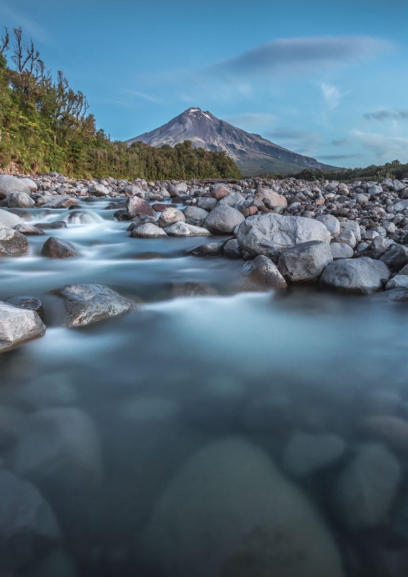
68 – Te Kāhui o Taranaki – Schedule 2 Land Inventory
Te Kāhui o Taranaki
Land Inventory for Reserve Management Plan 2019-2029
Te Kāhui o Taranaki – Land Inventory for Reserve Management Plan 2019-2029
Table of land parcels:
Individual records for each land parcel follow. Click on hyperlink to go to each record.
Te Kāhui o Taranaki – 69
Name Legal Description Classification Size (Ha) Arawhata Sect 26 and 27 Block III Opunake SD Fee simple 0.7879 Cape Egmont Lighthouse Lot 1 DP 20742 Fee simple 0.4518 Cape Egmont site A Sect 1 SO 495006 Fee simple 0.4020 Kahui site A Sect 2 SO 497086 Fee simple 0.8439 Kahui site B Lot DP 6423 and DP 1993 Fee simple 1.0577 Maitahi Scientific Reserve Sect 10 SO 495008 Fee simple, scientific reserve, administered as a reserve 0.7874 Manihi Historic Reserve Sect 2 SO 500023 Fee simple, historic reserve, administered as a reserve 0.0143 Ngāturi Pā/Omata Stockade Lot 1 DP 13274 Fee simple, historic reserve, administered as a reserve 0.4799 Oākura Coast Historic Reserve Sect 1 SO 495009 Fee simple, historic reserve, administered as a reserve 5.7200 Ōāonui Historic Reserve Lot 3 DP 12925 Fee simple, historic reserve, administered as a reserve 16.5554 Okahu Historic Reserve Sect 1 SO 500023 Fee simple, historic reserve, administered as a reserve 0.3533 Ōkato Coast Historic Reserve Sect 1, 2, 3, 4, 5, 6, 7 and 9 SO 495008 Fee simple, historic reserve, administered as a reserve 10.1272 Opunake site A Sect 1 SO 489951 Fee simple 0.1066 Opunake Coast Historic Reserve (Opunake site B) Pt sect 1 Opunake Suburban Fee simple, historic reserve, administered as a reserve 2.0 Ōrimupiko/Headlands site A Sect 1 SO 502723 Fee simple 14.2400
70 – Te Kāhui o Taranaki – Schedule 2 Land Inventory Name Legal Description Classification Size (Ha) Ōrimupiko Historic Reserve (Headlands site B) Sect 2 & 3 SO 502723 Fee simple, historic reserve, administered as a reserve 3.5384 Pungarehu Sect 125 Block VIII Cape Survey District Sect 139 Block VIII Cape Survey District Fee simple 1.0168 0.2770 Pungarehu Coast Historic Reserve (Cape Egmont site B) Sects 2, 3, 4, 6, 7, 8, 10, 11, 13, 16, 19, 21, 23, 24, 26 and 28 SO 465006 Fee simple, historic reserve, administered as a reserve 13.7701 Puniho Sect 10 Block V Cape Survey District Fee simple 0.3177 Rahotu site A Sect 1 SO 495021 Fee simple 0.2052 Rahotu site B Pt sect 62 Block XII Cape Survey District Fee simple 0.1639 Rahotu site C Sect 14 Block V Opunake Survey District Fee simple 0.8094 Tapuīnikau Pā Historic Reserve Lot 1 DP 12237 Tapuīnikau A Fee simple, historic reserve, administered as a reserve 2.4300 1.0749 Tataraimaka Pā Historic Reserve Sect 1 SO 495012 Fee simple, historic reserve, administered as a reserve 0.7397 Te Koru Pā Historic Reserve Sect 1 SO 494368 Sect 2 SO 494368 Fee simple, historic reserve, administered as a reserve 1.7371 0.9670 Waireka Historic Reserve (Sutton Road site A) Sect 2 SO 495010 Fee simple, historic reserve, administered as a reserve 1.7600 Waireka Local Purpose (Foreshore) Reserve (Sutton Road site B) Sect 1 SO 495010 Fee simple, local purpose (foreshore) reserve, administered as a reserve 0.6330 Warea site A Sect 23 Block IV Cape Survey District Fee simple 0.5236 Warea site B Sect 1 SO 494413 Fee simple 0.5659
New Plymouth
Ngaturi Pa/Omata Stockade Historic Reserve
Waireka Local Purpose (Foreshore) Reserve
Tataraimaka Pa Historic Reserve
Maitahi Scientific Reserve
Puniho
Waireka Historic Reserve
Oakura Coast Historic Reserve
Te Koru Pa Historic Reserve
Okato Coast Historic Reserve
Okato Coast Historic Reserve
Warea A
Warea B
Tapuinikau Pa Historic Reserve
Pungarehu Coast Historic Reserve
Pungarehu
Pungarehu Coast Historic Reserve
Cape Egmont Lighthouse
Pungarehu Coast Historic Reserve
Cape Egmont Site A
Rahotu A
Rahotu B
Kahui B
Kahui A
Okahu Historic Reserve
Manihi Road
Rahotu C
Oaonui Historic Reserve
Opunake Coast Historic Reserve
Orimupiko Historic Reserve
Opunake A
Arawhata
Taranaki Iwi Area of Interest

71
Taiao Tairoa –
Arawhata
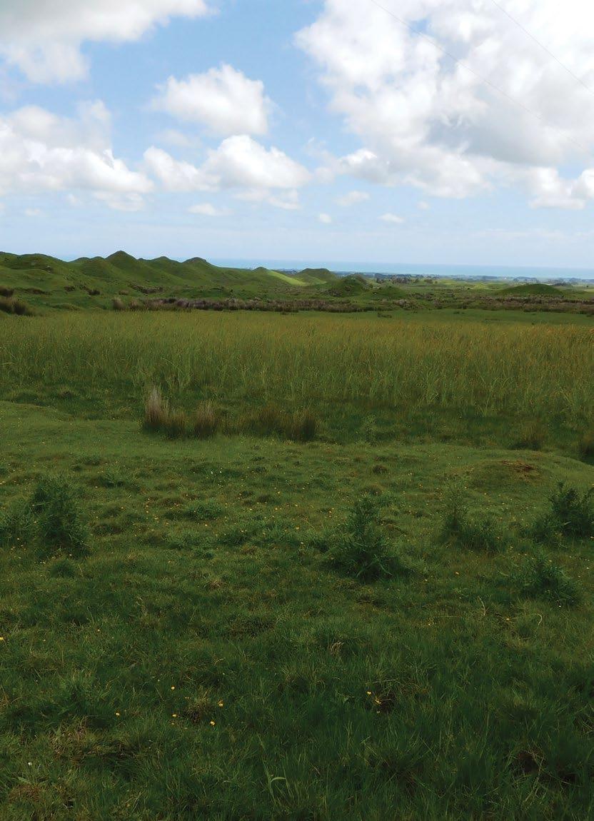
Site Name Arawhata Legal Description Sect 26 and 27 Block III Opunake Survey District Size 0.7879 Classification Fee simple DOC Unit No 70665 Map Coordinates (point reference) 1680303 5643051 Local Authority South Taranaki District Heritage NZ/NZAA No Nil 72 – Te Kāhui o Taranaki – Schedule 2 Land Inventory

Te Kāhui o Taranaki – 73
Arawhata
Description
Straddling Upper Arawhata Road, two small parcels of land with a number of natural water springs.
Access Formed legal road. Unsealed for last 600m to site.
History/ Cultural Features
Conservation Values
Used as a dye reserve for mahinga toi. Springs were previously thought to be warm.
High conservation value as a wetland.
Topography Gentle contoured open land.
Vegetation Wetland vegetation; raupo, carex sedges, pasture grasses.
Key Native Flora Wetland.
Key Native Fauna Nil.
Animal Pests Stock trespass, hares rabbits.
Plants Pests Weeds.
Boundary/ Fencing Unfenced.
Fire/other threats Drainage.
Recreation/ Tourism Facilities Nil.
Interpretation Nil. Possibility to interpret springs and any related history.
Other manmade features/ facilities Road through the centre.
Adjoining Land Use Farming.
Grazing Yes, as unfenced.
Licences/ leases Subject to unregistered research permits, some under Wildlife Act.
Key Management issues Needs to be fenced. Wetland management.
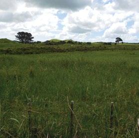
Date site visit 6th December 2018.
74 – Te Kāhui o Taranaki – Schedule 2 Land Inventory
Cape Egmont Lighthouse
Site Name Cape Egmont Lighthouse
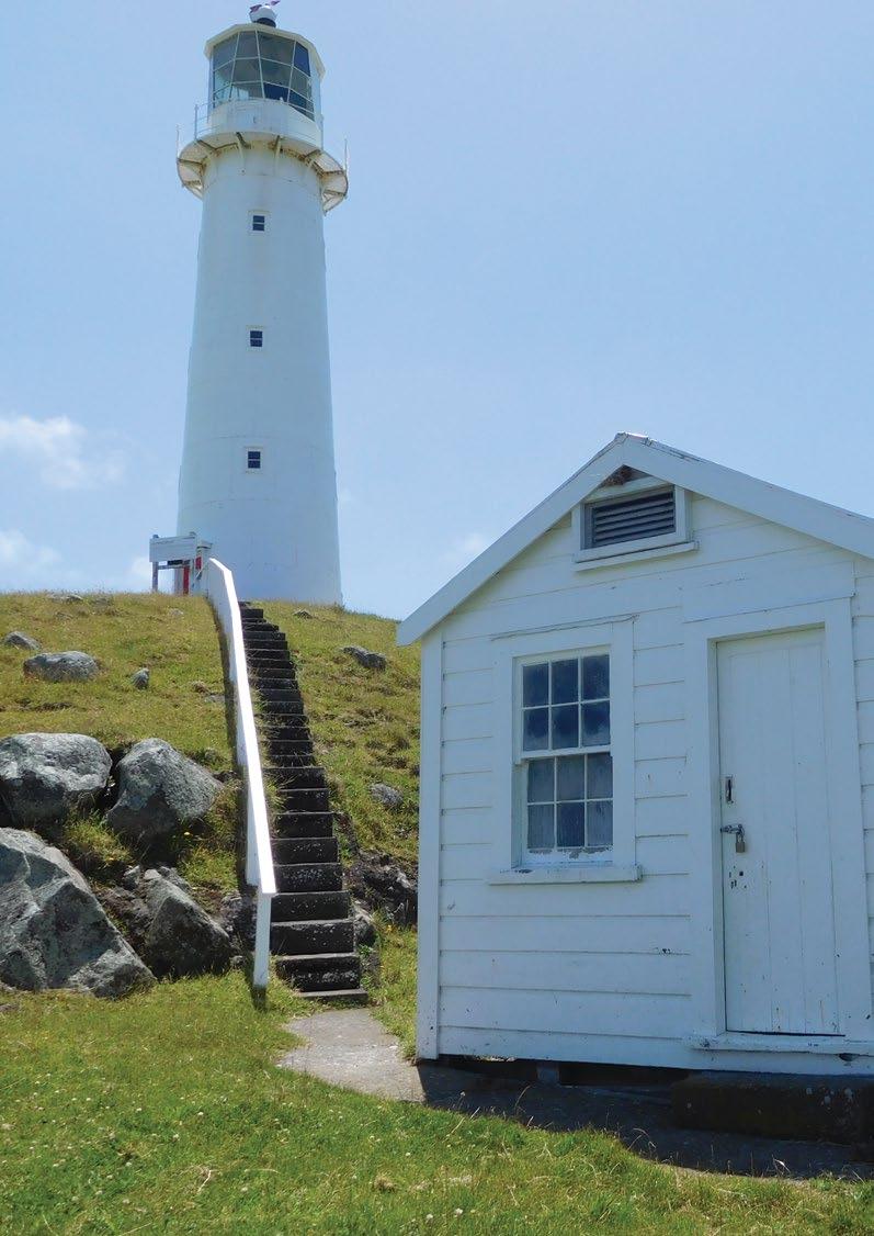
Legal Description Lot 1 DP 20742
Size 0.4518
Classification
Fee simple. To note: the adjacent Recreation Reserve and Conservation area have both been subsequently purchased by Te Kāhui o Taranaki.
DOC Unit No Nil – previously Maritime NZ
Map Coordinates (point reference) 1665121 5652293
Local Authority South Taranaki District
Heritage NZ/NZAA No
HNZ No 820 – Cat 2. NZAA P20/147
Te Kāhui o Taranaki – 75
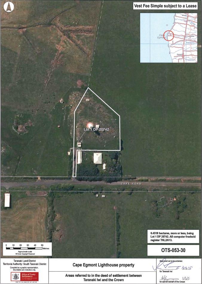
76 – Te Kāhui o Taranaki – Schedule 2 Land Inventory
Cape Egmont Lighthouse
Description
Historical Lighthouse.
Access 377-379 Cape Rd, Pungarehu 4685.
History/ Cultural Features
The traditions of Taranaki Iwi illustrate the ancestral, cultural, historical association to this area. The Cape Egmont area is of high importance to Taranaki Iwi and is located in the vicinity of significant coastal Taranaki Iwi lands and waterways. The Cape Egmont Lighthouse reserve borders a well-known Taranaki Iwi Māori Reserve - Te Ikaroa.
Te Ikaroa was gazetted as a small fishing reserve (2.2 acres) in 1882 and granted to Hone Mutu. It was however, part of a much larger area extensively occupied by successive Taranaki Iwi ancestors. The earlier history of the area recount it was part of a larger place called Te Ruaatauroa and was the home of early Ngāti Haupoto ancestors Tongawhakaruru and Tamaraupango who built a house for their niece Rongotuhiata here. This house was called Taniwhapukoroa.
The tauranga waka - Te Mapua (also named Te Awa a Tuteangi) was also a critical part of this community and was in use when Kupe passed through this part of the country. Te Mapua was continually used up until the 1940s, when the elders would light fires at night to guide their boats into the channel from fishing expeditions to offshore fishing grounds. A Boat shed stood here (alongside many other areas) complete with sleeping quarters for the crew and provided many families fish. Cooking was done by the elders from the marae and provided an efficient operation for Taranaki Iwi’s trade and tribal economy. The large reef system opposite Te Ikaroa also provided large quantities of mātaitai. These reefs are regularly accessed by uri (descendants) of Taranaki Iwi today. The wider Te Ikaroa area was also well suited for growing kumara and was extensively cultivated with massive kumara and melon gardens with large areas also set aside for the cultivation of maize and corn. When the Kingitanga (Kingship) was established in 1858, support from Taranaki Iwi came from few hapū. These hapū established Rūnanga (tribal councils) and council houses to discuss and strategise an effective approach to land alienation. Te Ikaroa was occupied at this time by Ngāti Moeahu (one of our Taranaki Iwi hapū) who constructed a large house named Te Ikaroa a Māui. Te Ikaroa a Māui housed a large community and was said to be 100 feet long. Later a toll gate was erected here to regulate the travel of pākehā through the area. Te Ikaroa today is a small papakainga with Taranaki Iwi families still living on it.
The area where the Cape Egmont Lighthouse is located, was continuously occupied by successive generations of Taranaki Iwi until it was confiscated under the New Zealand Settlements Act 1863. Following confiscation, the construction of the Cape Egmont Lighthouse began during the occupation of the district by the Armed Constabulary in 1880 and was the catalyst for the government’s plan to facilitate settler growth and expansion on the western Taranaki bight. The West Coast Commissioners reported in August of 1880 that a ‘very great political effect would now be produced upon the natives... if they saw the three things for which the Government have so long contended, being done together, the road, the telegraph line and the lighthouse.’ The construction of the lighthouse commenced in 1880 as a part of the wider Parihaka Campaign. During construction, Cape Egmont Armed Constabulary Camp was setup to assist, a redoubt was built of stone and the camp was also enclosed by substantial palisading3 200 yards away from the actual Lighthouse building. By this time many of our Taranaki Iwi people had removed inland to Parihaka for fear of further conflict.
In 1895, a 50-acre (20.23 hectare) block surrounding the lighthouse and the Kapoaiaia stream was designated as a Government (Lighthouse) Reserve. From 1887 however, the Marine Department had leased the northern portion to Taranaki Iwi and Parihaka rangatira Te Whetu Moeahu to grow crops including Kumara, Potatoes and pumpkin and to harvest piharau. This arrangement continued until 1896 when Te Whetu died and the lease was taken over by his wife, a dispute by this time had arisen over the southern portion of the land as the lighthouse keeper wanted it to water his horses and cattle. The people occupying this land however, wanted to keep it as it was the better part of the land they were leasing for cultivating their crops. They sought a compromise by allowing for a fence to be erected but that was not satisfactory to the department who forbade the people from ploughing the land despite the fact that the lease money had already been paid for its use over the whole section until 1897. The matter was resolved when an agreement was made to erect a fence for the Lighthouse keeper.
Te Kāhui o Taranaki – 77
Cape Egmont Lighthouse
History/ Cultural Features
From as early as 1929 there were offers from Taranaki Iwi whanau occupying the land to purchase the leased block but these were refused by the Marine Department although they made commitments to continue with the lease arrangements.
During this time Gorse and Lupin had begun to take over the whole 50 acre reserve and offers from neighbouring farmers were made to lease or buy the land as they thought the Māori owners of the lease should not get it so cheaply and there were also problems with all of the weeds. These were in fact cleared by the 1940’s and after Mrs Te Whetu died the lease was taken over by Te Ngougou Okeroa. Another offer was made by the neighbouring farmers in 1951, however a commitment had already been made to lease the land to Te Ngoungou’s niece Mrs Louie Okeroa for 9 pounds 5 shillings. When the Marine Department enquired to the Commissioner of Crown Lands as to whether the lease should be confirmed he replied that his field officer “was not very enthusiastic to lease it to a Māori.” The lease was already drawn up and when Mrs Loiue Okeroa went to pay the lease, the Department refused to let her do so as did the lighthouse keeper himself (as he was instructed to do so by the Marine Department).
The Commissioner of Crown Land was instructed to survey the land and then to dispose of it by lease or sale. This happened in 1954 when the reservation of this part of the reserve was revoked (by order in Council 2092) and the land reclassified as sections 128 and 129. These were sold to the neighbouring farmer for 300 pounds, relieving Taranaki Iwi of their ability to continue to cultivate and use the land.
In 1982 another part of the original block was classified as Recreation Reserve and became sections 148 and 149 a total area of 6.2372 hectares. Sections 146 and 147 were also declared not to be part of the lighthouse reserve. Section 147 (6.6163) is currently a Conservation Reserve and Section 146 (2280sq metres) was privatised in 1987. After all partitions were complete a 0.4518 ha Lighthouse reserve remained.
A Summary of the partition of the original block is provided here:
• Section 128 2.7316 ha sold to Mr Greenway in 1954 (Title 194/40)
• Section 129 3.3387 ha sold to Mr Greenway in 1954 (Title 194/40)
• Section 146 0.2280 ha sold to Mr and Mrs Richards in 1987 (Title H2/I2)
• Section 147 6.6163 ha currently Conservation Reserve – Department of Conservation
• Section 148 5.8560 ha A recreation reserve created in 1982
• Section 149 0.3780 ha Crown land reserved from sale
• Part Sec 1 0.4518 ha Remaining Lighthouse Reserve
(Statement of Association – Cape Egmont Lighthouse Reserve. Treaty of Waitangi Settlement)
The light was manufactured by Simpson & Co., Pimlico, London, in 1864 and erected on Mana Island to the north west of Porirua in 1865, but it was sometimes confused with the Pencarrow Head light at the entrance to Wellington Harbour and in 1877 the light was dismantled and moved to Cape Egmont. The light was demanned and fully automated in 1986. (Ref: https://en.wikipedia.org/wiki/Cape_Egmont_ Lighthouse).
The keepers lived alongside the lighthouse until it was automated in 1986. The original lens has been re-installed in a replica – but non-functioning – tower, built at the nearby Cape Egmont Boating Club. https://teara.govt.nz/en/photograph/25900/cape-egmont-lighthouse
Further reference – Maritime NZ
https://web.archive.org/web/20160305014333/http://www.maritimenz. govt.nz/Commercial/Shipping-safety/Aids-to-navigation/Lighthouses-of-NZ/Cape-egmont-lighthouse.asp South Taranaki District Council https://www.southtaranaki.com/Visit/Things-to-see-and-do/Attractions/ Cape-Egmont-Lighthouse/
78 – Te Kāhui o Taranaki – Schedule 2 Land Inventory
Conservation Values
Topography
High, related to lighthouse history.
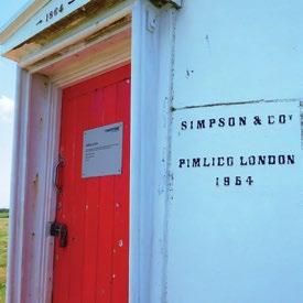
Flat coastal, lighthouse built on promontory.
Vegetation Pasture grasses.
Key Native Flora Nil.
Key Native Fauna Nil.
Animal Pests Nil.
Plants Pests Weed management.
Boundary/ Fencing
Boundary fence on east side follows current boundary, boundary fence on west does not follow boundary. Fence on south side between house and lighthouse requires replacement. Will need re-fencing according to the larger area with the two additional land parcels.
Fire/other threats Fire is a key risk. Degradation and vandalism to buildings.
Recreation/ Tourism Facilities Lighthouse.
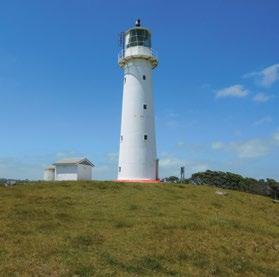
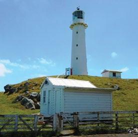
Interpretation
Currently one on the lighthouse construction and history plus one on Abel Tasman’s sighting of coast. Potential to include local Māori history.
Other manmade features/ facilities Two sheds and one water tank.
Adjoining Land Use Farming.
Grazing Casual grazing.
Licences/ leases
Key Management issues
Subject to lease to Maritime NZ – 999 years commencing on 23rd Feb 2017.
Fencing and weed control. Fire protection/management. Visitors’ access and tourism potential.
Date site visit 10th December 2018.
Te Kāhui o Taranaki – 79
Cape Egmont site A
Site Name Cape Egmont site A Legal Description Sect 1 SO 495006 Size 0.4020 Classification Fee simple DOC Unit No 70562 (part) Map Coordinates (point reference) 1665309 5649054 Local Authority South Taranaki District Heritage NZ/NZAA No Nil – Tipoka Pa 300m to NNW NZAA record P20/95 80 – Te Kāhui o Taranaki – Schedule 2 Land Inventory
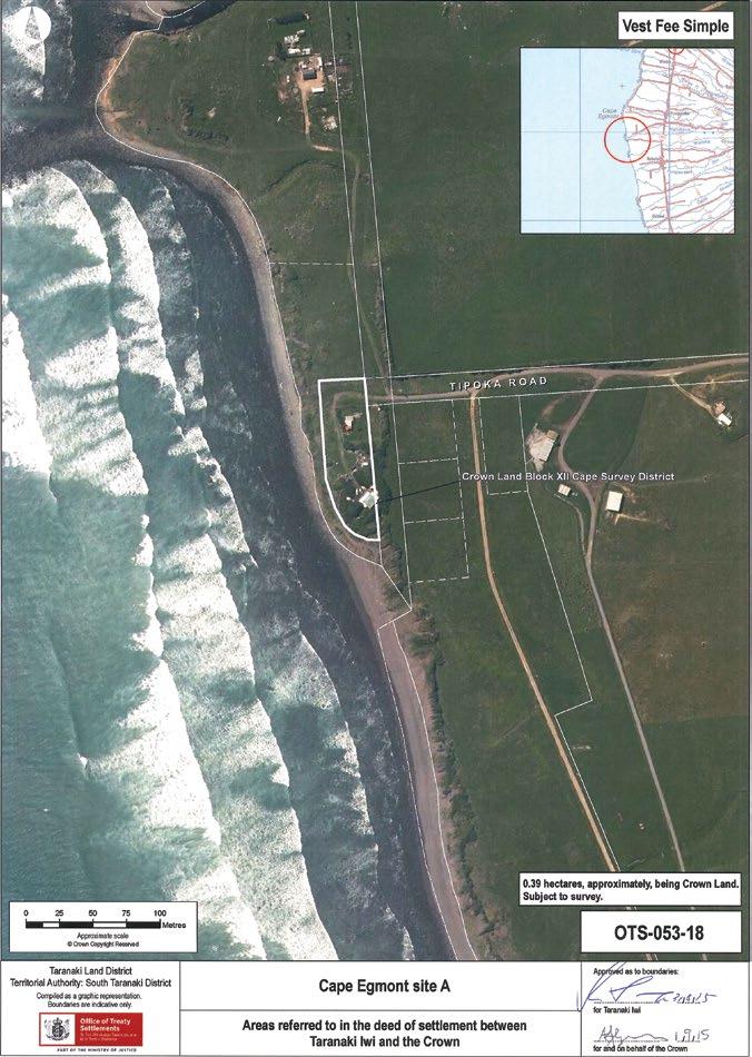
Te Kāhui o Taranaki – 81
Cape Egmont site A
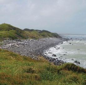
Description
Coastal area at the end of Tipoka Road. Has baches on part. Adjacent to Tipoka Papakianga.
Access Via Tipoka Road, also provides access to the beach.
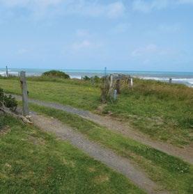
History/ Cultural Features
Conservation Values
Refer to Cape Egmont Lighthouse above and Pungarehu Coast Historic Reserve below.
Low conservation values. Historic values linked to the Papakainga.
Topography Coastal margin.
Vegetation Generally grasses.
Key Native Flora Population of shore splurge (Euphorbia glauca).
Key Native Fauna Nil.
Animal Pests Hares, rabbits.
Plants Pests Weeds.
Boundary/ Fencing
Limited, mainly around bach by entrance.
Fire/other threats Coastal encroachment. Squatting.
Recreation/ Tourism Facilities Nil.
Interpretation Nil.
Other manmade features/ facilities
Two baches and assorted sheds, plus caravans, partially built/located on adjacent road reserve.
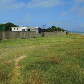
Adjoining Land Use Coast and farming. Grazing Nil.
Licences/ leases Nil.
Key Management issues
Maintenance of site. Erosion and coastal encroachment.
Date site visit 10th December 2018.
82 – Te Kāhui o Taranaki – Schedule 2 Land Inventory
Kahui site A
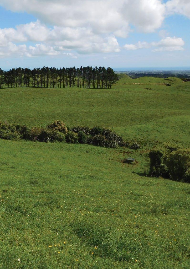
Site
Legal
Local
Heritage NZ/NZAA No Nil
Name Kahui site A
Description Sect 2 SO 497086
Size 0.8439
70700
Classification Fee simple DOC Unit No
1679649
Map Coordinates (point reference)
5648858
Authority South Taranaki District
Te Kāhui o Taranaki – 83
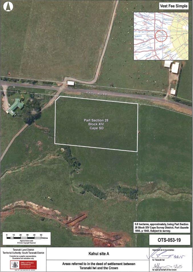
84 – Te Kāhui o Taranaki – Schedule 2 Land Inventory
Kahui site A
Description Farmland.
Access Upper Kahui Road.
History/ Cultural Features
Conservation Values
More research needed. Previous gravel pit/local purpose reserve.
No conservation value.
Topography Hill.
Vegetation Grass.
Key Native Flora Nil.
Key Native Fauna Nil.
Animal Pests Hares, rabbits.
Plants Pests Weeds.
Boundary/ Fencing
Post and batten fence on east side, 5-wide on roadside, no fences on other two sides.
Fire/other threats Nil.
Recreation/ Tourism Facilities Nil, close proximity to Egmont National Park Kahui Track.
Interpretation Nil.
Other manmade features/ facilities
A UHF repeater – evidently belonging to Taranaki Civil Defence (does not show in aerial photo).
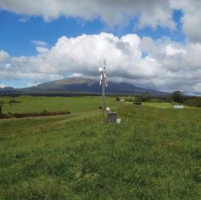
Adjoining Land Use Farming.
Grazing Casual grazing.
Licences/ leases
Key Management issues
Subject to unregistered research permits, some under Wildlife Act.
Leasing of the site for radio. Fencing. Weed and pest management.
Date site visit 6th December 2018.
Te Kāhui o Taranaki – 85
Kahui site B
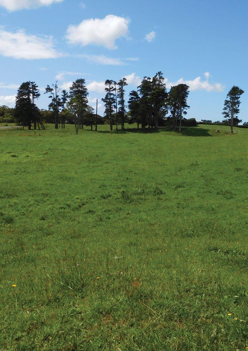
Site Name Kahui site B Legal Description Lot 1 DP 6423 and Pt 18 DP 1993 Size 1.0577 Classification Fee simple DOC Unit NoMap Coordinates (point reference) 1678084 5648346 Local Authority South Taranaki District Heritage NZ/NZAA No Nil 86 – Te Kāhui o Taranaki – Schedule 2 Land Inventory
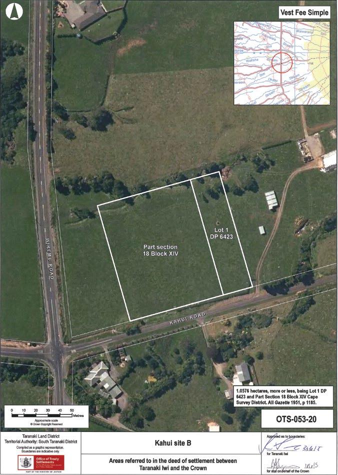
Te Kāhui o Taranaki – 87
Kahui site B
Description Farmland.
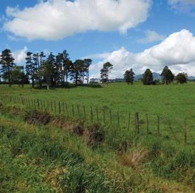
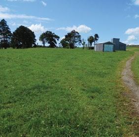
Access Kahui Road.
History/ Cultural Features
More research needed. Previously known as Kahui Domain.
Conservation Values Nil.
Topography
Flat paddocks, remnant creek at back boundary.
Vegetation Grass.
Key Native Flora Nil.
Key Native Fauna Nil.
Animal Pests Hares, rabbits. Plants Pests Weeds.
Boundary/ Fencing
On road frontages, not on inside boundaries.
Fire/other threats Nil.
Recreation/ Tourism Facilities Nil.
Interpretation Nil.
Other manmade features/ facilities Nil.
Adjoining Land Use Farming.
Grazing Casual. Licences/ leases Nil.
Key Management issues Weed and pest control. Fencing.
Date site visit 6th December 2018.
88 – Te Kāhui o Taranaki – Schedule 2 Land Inventory
Maitahi Scientific Reserve
Site Name Maitahi Scientific Reserve
Legal Description Sect 10 SO 495008
Size 0.7874
Classification Fee simple, scientific reserve, administered as a reserve
DOC Unit No 70226 File ref: LAN 2602
Map Coordinates (point reference) 1675204 5667038 1675553 5667196
Local Authority New Plymouth District
Heritage NZ/NZAA No Nil – P19/119 Tukitukipapa adjacent on road
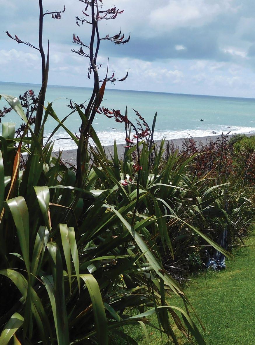
Te Kāhui o Taranaki – 89

90 – Te Kāhui o Taranaki – Schedule 2 Land Inventory
Maitahi Scientific Reserve
Description
Scientific Reserves under Reserves Act 1977. Coastal forest. Narrow strip 20m wide and 380m long. Two lahar promontories.
Access
Access from beach. Alternatively, access from adjacent property with owner’s permission. Access point at ref 1675204 5667038 on Perth Road – opposite 462 Perth Road could be developed with formed steps up a steep slope.
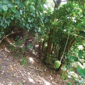
History/ Cultural Features
Takaipekea – a kainga still used in the late 1860s along the Maitahi Stream just north west of Ōkato. Occupied by Porikapa Te Wareware, Te Hira Tamaitehuru and other Nga Mahanga people. Also refer to Pungarehu Coast Historic Reserve below.
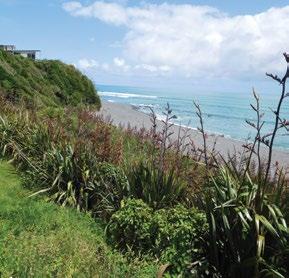
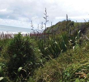
Conservation Values
High conservation values.
Topography Sloping coastal frontage.
Vegetation Flaxes and native shrubs.
Key Native Flora
Rare coastal forest remnant. Scandia rosifolia, peperomia urvilleana. Several hundred s. rosifolia planted early 1980s by Lands and Survey along top boundary – only 5 or 6 survive now. Additional planting of s. rosifolia and p. urvilleana was undertaken in 2015. Natural population on cliffs.
Key Native Fauna Unknown.
Animal Pests
Rabbits, possums, mustelids and rodents.
Plants Pests Weeds, gorse, boxthorn.
Boundary/ Fencing
Fire/other threats
Post and wire stock-proof fence. Regular maintenance required. Open section on south side, on neighbour’s boundary, requires reinstatement with stile (if needed).
Fire, coastal encroachment.
Recreation/ Tourism Facilities Nil.
Te Kāhui o Taranaki – 91
Maitahi Scientific Reserve
Interpretation
Other manmade features/ facilities
Nil. Potential to interpret vegetation and link to cultural history.
Informal track traverses middle of reserve to the beach from neighbour’s property. Informal structure on beach.
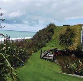
Adjoining Land Use Rural residential and farming.
Grazing Nil.
Licences/ leases
Key Management issues
Subject to unregistered research permits, some under Wildlife Act.
Weed control. Fence maintenance. Access. Interpretation/signage. Monitoring native vegetation and forest quality.
Date site visit 12th December 2018.
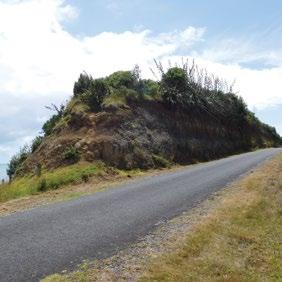
92 – Te Kāhui o Taranaki – Schedule 2 Land Inventory
Manihi Historic Reserve
Site Name Manihi Historic Reserve
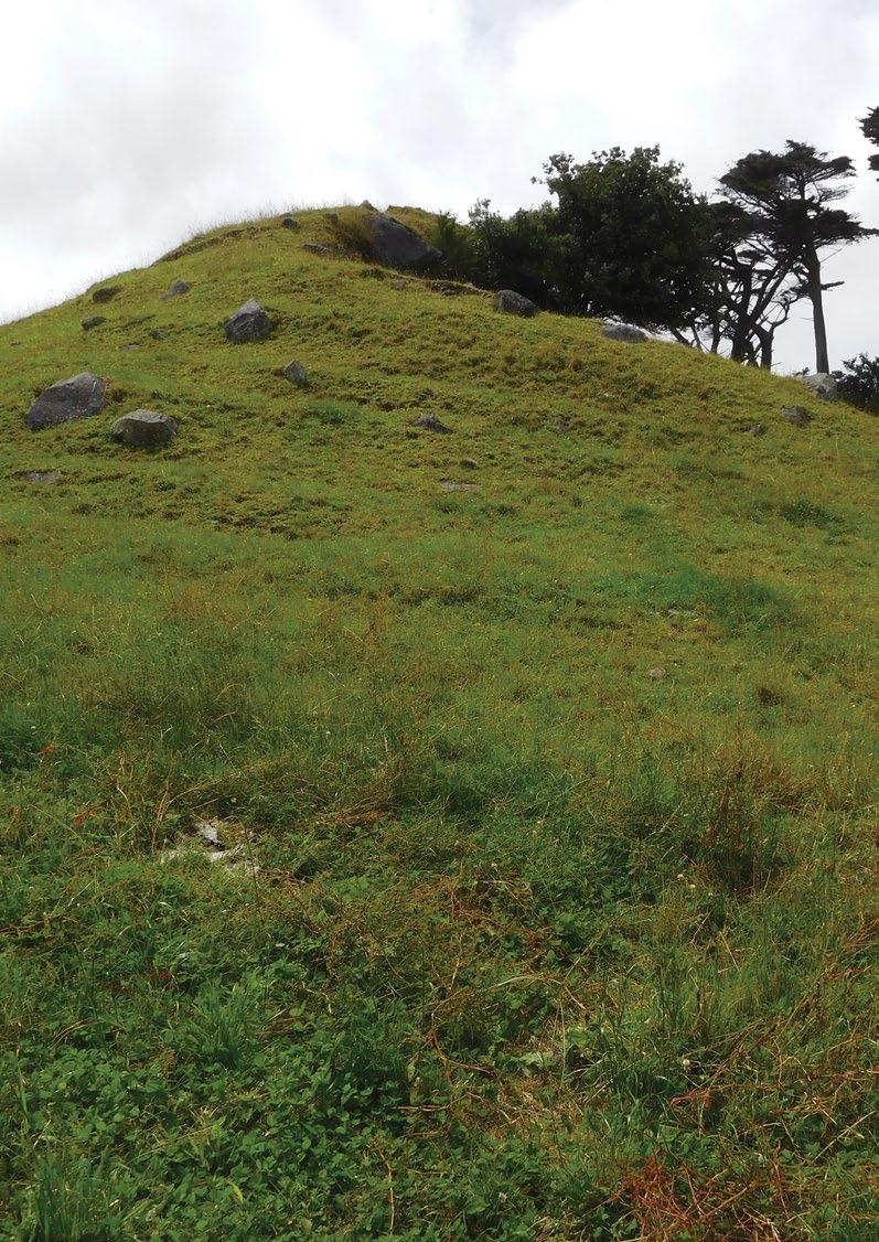
Legal Description Sect 2 SO 500023
Size 0.0143
Classification Fee simple, historic reserve, administered as a reserve
DOC Unit No 70798
Map Coordinates (point reference) 1668337 5643162
Local Authority South Taranaki District
Heritage NZ/NZAA No Nil. NZAA P20/70 to the south
Te Kāhui o Taranaki – 93

94 – Te Kāhui o Taranaki – Schedule 2 Land Inventory
Manihi Historic Reserve
Description
Knoll/lahar mound in paddock. Parts of section 24 (Marginal Strips) of the Conservation Act 1987 do not apply.
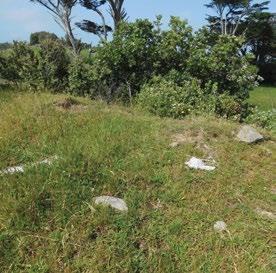
Access Landlocked. Within Washer Farms, 134 Manihi Road.
History/ Cultural Features
Location of Albert’s Grave. Local stories advise that Albert was a Maori who worked with the surveyors in the late 1800s, lived around Ōkato and when he died was moved here for burial. When the quarrying began in the 1950s for roads, local Maori petitioned the council and the quarrying was stopped.
Conservation Values Nil.
Topography Hillock in pasture. Part quarried on SW side.
Vegetation Grass.
Key Native Flora Nil.
Key Native Fauna Nil.
Animal Pests Grazing animals.
Plants Pests Weeds.
Boundary/ Fencing Nil.
Fire/other threats Nil.
Recreation/ Tourism Facilities Nil.
Interpretation Nil.
Other manmade features/ facilities Nil.
Adjoining Land Use Farming.
Grazing Grazed site.
Licences/ leases Subject to unregistered research permits, some under Wildlife Act.
Key Management issues
Degradation of grave site from grazing.
Date site visit 10th December, 2018.
Te Kāhui o Taranaki – 95
Ngāturi Pā/Omata Stockade Historic Reserve
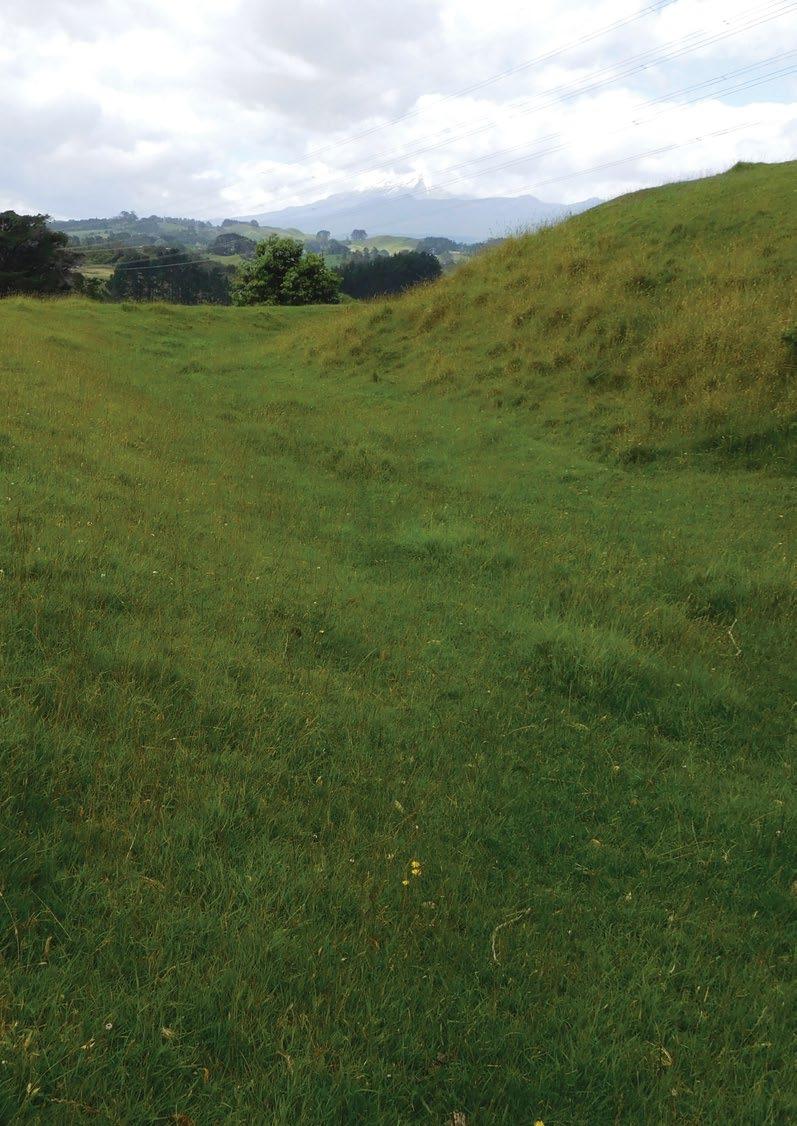
Site Name Ngāturi Pā/Omata Stockade Historic Reserve Legal Description Lot 1 DP 13274 Size 0.4799 Classification Fee simple, historic reserve, administered as a reserve DOC Unit No 70662 File ref: LAN 2416 Map Coordinates (point reference) 1688738 5673342 Local Authority New Plymouth District Waahi Taonga No 35 Heritage NZ/NZAA No HNZ No 5965 – Cat 2 NZAA No P19/35 96 – Te Kāhui o Taranaki – Schedule 2 Land Inventory
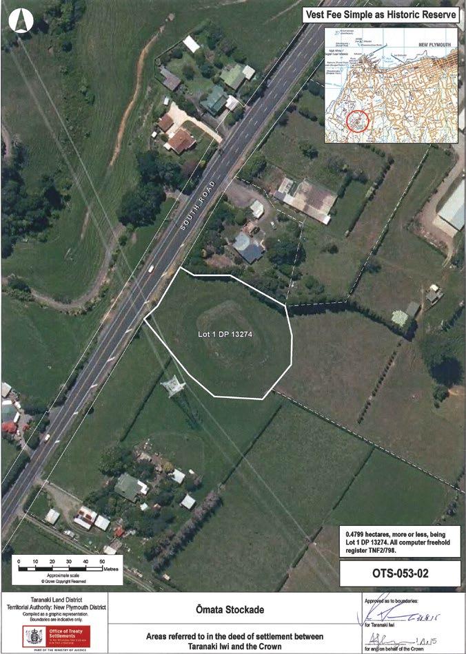
Te Kāhui o Taranaki – 97
Ngāturi Pā/Omata Stockade Historic Reserve
Description
A small hill rising steeply from surrounding flat pasture land. Rectangular platform 21m x 14m. Surrounded by shallow ditch once 2m deep but now mainly filled in. 220kva powerline crosses western corner.
Access 321 South Road
History/ Cultural Features
Oldest archaeological site of the Taranaki Wars. Pre-European Ngāturi Pā site. Stockade built in 1860. Little is known of Ngāturi Pā.
“The stockade was a few kilometres south-west of New Plymouth and served to protect local settler families. In March 1860 Ngāti Ruanui began to advance towards New Plymouth and built a Pā, Kaipopo, overlooking the stockade. Lieutenant Colonel Charles Gold then sent a force to relieve the stockade and attack the new pā, which was eventually captured, probably after its abandonment by Māori.” (https://teara.govt.nz/en/artwork/36910/omata-stockade ). The site has been excavated.
Excerpt from ‘The New Zealand Wars: A History of the Maori Campaigns and the Pioneering Period: Volume I (1845–64)’
Chapter 19: The Battle of Waireka: “The British move upon the Waitara was quickly followed by the decision of Taranaki, Ngati-Ruanui, and Nga-Rauru, the three principal tribes of the coast curving round from Ngamotu to the Waitotara, to come to Wiremu’s Kingi’s aid. Ten days after the taking of the L pa five hundred warriors of these people, the best fighting-blood on the whole west coast south of New Plymouth, had arrived within six miles of the town. After ceremonious welcomes at Ratapihipihi and other settlements they gathered in a strongly entrenched and stockaded pa at Kaipopo, the most commanding part of the hills at Waireka. The fortification was alongside the road from Omata, and about a mile and a half south of the stockade commanding that settlement; the surf-beaten shore was less than three-quarters of a mile away. The district was already partially settled by Europeans, and farmhouses were scattered over the much-dissected coastland between the ranges and the sea. Clear streams, rock-bedded, coursed down through the numerous narrow wooded valleys. One of these was the Waireka (“Sweet Water”); it was joined just at the beach by a smaller hill-brook, the Waireka-iti. This broken terrain, with its spurs, knolls, and ravines giving abundance of cover, was an admirable country for the Maori’s skirmishing tactics. The natives who composed the fighting force on this side of New Plymouth were chiefly Taranaki, composed of Ngamahanga, Patukai, Ngati-Haumia, Ngarangi, and other hapus, under Kingi Parengarenga (afterwards killed at Sentry Hill), Hori Kingi, the celebrated Wiremu Kingi te Matakaatea (not to be confused with Wiremu Kingi te Rangitaake, of Waitara), and Arama Karaka. A war-party of Ngati-Ruanui, chiefly the Ngaruahine hapu of the Waimate Plains, arrived just in time for the battle; their principal rangatira was Te Hanataua. The men were armed with double-barrel shot-guns, and were well supplied with powder and lead; several carried rifles.
On the 27th [March, 1860] the first blood was shed in the Omata district. Two farmers (S. Shaw and H. Passmore) and a New Plymouth business man (Samuel Ford) were shot and tomahawked by ambushparties on the roadside near the Primitive Methodist Chapel; next day the bodies of two boys (Pote and Parker), similarly killed, were found. On the morning of the 28th, when New Plymouth was in a state of intense excitement over the news of these murders, the military authorities decided to despatch an expedition to Omata for the purpose of rescuing the Rev. H. H. Brown and his family, and several other settlers who had remained on their farms. The chiefs, however, had made proclamation that Mr. Brown would be protected, and a notice in Maori was posted at Omata declaring that the road to his place and to his neighbours’ must not be trodden by war-parties. The minister was tapu because of his sacred office; as for the others enumerated, one settler was Portuguese and one French; the war was only with the British. The force detailed for the expedition consisted of three officers and twentyfive men of the Royal Navy (H.M.S. “Niger”), four officers and eighty-four rank and file of the 65th Regiment, with 103 officers and men of the Taranaki Rifle Volunteers and fifty-six Taranaki Militia.
98 – Te
o Taranaki – Schedule 2 Land Inventory
Kāhui
History/ Cultural Features
Lieut.-Colonel Murray was in command. Lieutenant Blake was in charge of the bluejackets (who were to be followed, if necessary, by a larger force from the “Niger”). The colonial force was under the command of Captain Charles Brown, who had with him the following officers: Militia— Captain and Adjutant Stapp, Lieutenants McKechney and McKellar, Ensign W. B. Messenger; Volunteers—Captain Harry A. Atkinson, Lieutenants Hirst, Hamerton, Webster, and Jonas.
The first blunder made by the Imperial officers was the division of this small force despatched into hostile territory. Captain Brown, in command of the settlers, was ordered to march by the sea-coast, keeping along the beach until he reached the rear of the Maori positions at Waireka. The Regulars, under Lieut.-Colonel Murray, marched by the main road for the announced purpose of dislodging a war-party reported to be at the spot known as the “Whalers’ Gate,” about three-quarters of a mile on the town side of the Omata stockade. The Volunteers and Militia were expected to recover the out-settlers supposed to be in danger, and to march back by the road, joining Murray at the “Whalers’ Gate.” The force was not sent from town until after 1 p.m. (the colonials starting first), yet the order was given by Colonel Gold that it must be back by dark. Lieut.-Colonel Murray’s implicit but unintelligent obedience to this order involved, as it developed, the desertion of the settlers’ column at a critical juncture in the combat of the Waireka.
Murray did not meet with any opposition at the “Whalers’ Gate,” where there was no trace of Maoris. He moved leisurely along the south road until, near the Omata stockade, the sound of rapid firing about two miles off, near the sea, indicated that the civilian force was hotly engaged. He despatched the naval detachment and some of the 65th, under Lieutenant Urquhart, to Brown’s assistance, while he took the main body along the road and down a lane which turned off on the right to the sea. Some distance down the lane he turned into a grass paddock, entrenched his men, and opened fire on the Maori skirmishers at long range. He had a rocket-tube, and fired some rockets into a wooded gully on his left front, up which some of the Maoris were moving to cut him off from the main road, as he thought. Accordingly he took up a position in the lane so as to secure the main road, and confined himself to firing rockets at the distant pa and any groups of Maoris observed, and rifle-fire on the native skirmishers over the spurs and in the ravines, until he considered it time to sound the ‘Retire.’ “(http://nzetc. victoria.ac.nz/tm/scholarly/tei-Cow01NewZ-c19.html).

Te Kāhui o Taranaki – 99
1. Taranaki Herald, Volume IX, Issue 419, 11 August 1860. (https://paperspast.natlib.govt.nz/newspapers/TH18600811.2.8)
1.
Ngāturi Pā/Omata Stockade Historic Reserve
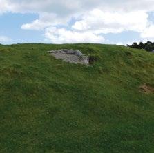
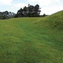
History/ Cultural Features
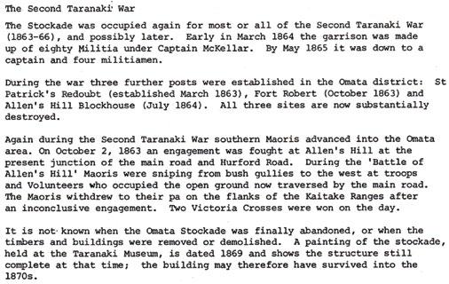
Drawn by Major-General Sir James E. Alexander, [1861] Ground Plan. Cited in http://nzetc.victoria.ac.nz/tm/scholarly/Cow01NewZ-figCow01NewZ168b.html
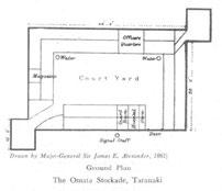
100 – Te Kāhui o Taranaki – Schedule 2 Land Inventory
Pickett, N. Excavations at the Omata Stockade, January-February 1977. University of Auckland Archaeological Society, Pg 12.)
Conservation Values Medium conservation values – cultural and historical.
Topography Knoll in pasture.
Vegetation Rough pasture.
Key Native Flora Nil.
Key Native Fauna Nil.
Animal Pests Hares, rabbits. Plants Pests Weeds.
Boundary/ Fencing Stockproof post and wire fence on boundary. Requires maintenance.
Fire/other threats Erosion by stock.
Recreation/ Tourism Facilities Nil.
Interpretation
Ex DOC sign and interpretation panel. Other manmade features/ facilities Gate and stile.
Adjoining Land Use Rural residential and farming.
Grazing Casual.
Licences/ leases Subject to unregistered research permits, some under Wildlife Act.
Key Management issues
Interpretation and potential for tourism.
Casual grazing. General maintenance – fencing, weeds. Parking on SH 45.
Date site visit 7th December 2018.
1. “This painting of the Ōmata stockade was completed several years after it was the catalyst for the first major incident of the Taranaki wars.” (https://teara.govt.nz/en/artwork/36910/omata-stockade).
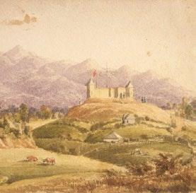
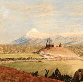
2. Date: 1860 By: Arden, Francis Hamar, 1841-1899 (https://natlib. govt.nz/records/22857261?search%5Bpath%5D=items&search%5Btext%5D=Omata+Stockade).
3. Scene from the Battle of Waireka. (https://nzhistory.govt.nz/ media/photo/sketch-battle-waireka).
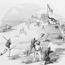
Te Kāhui o Taranaki – 101
2.
3.
1.
Oākura Coast Historic Reserve
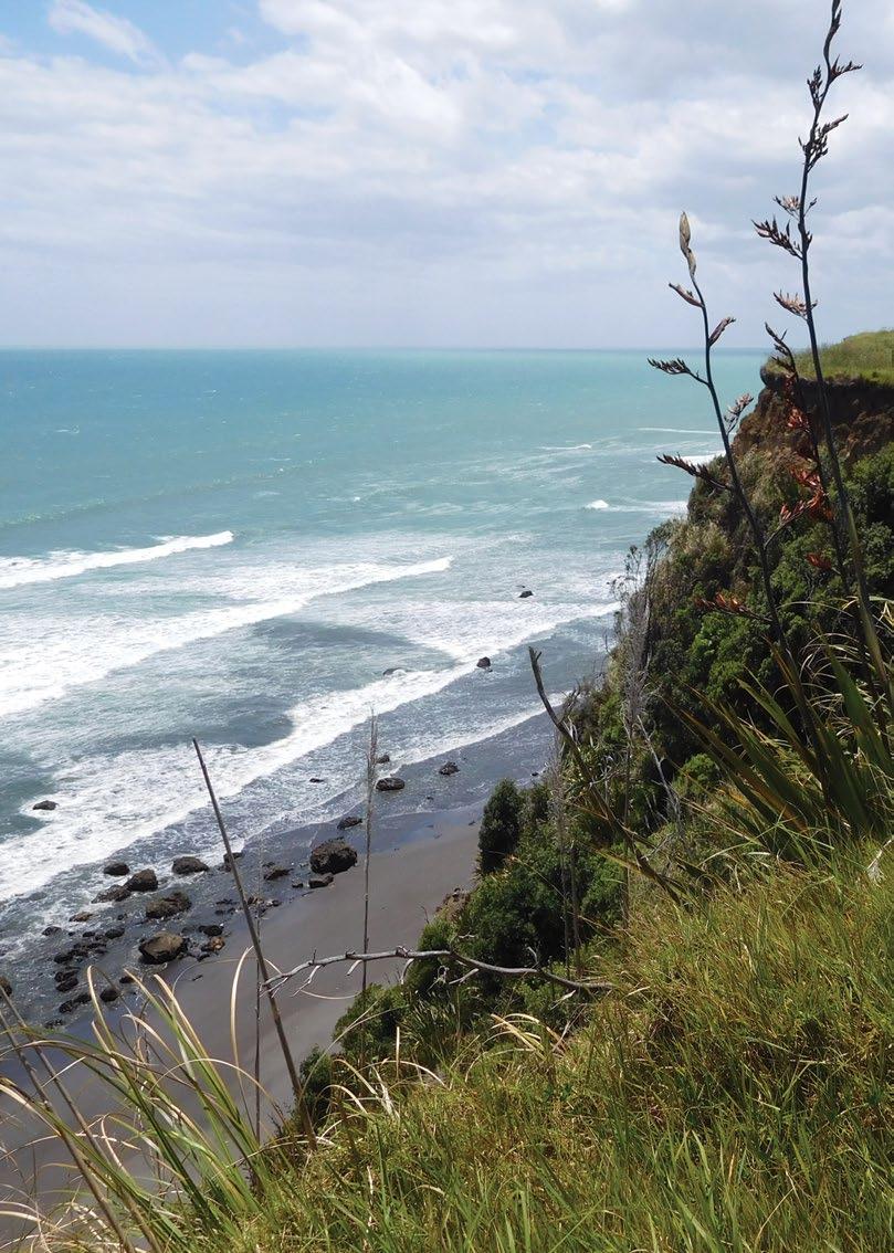
Site Name Oākura Coast Historic Reserve Legal Description Sect 1 SO 495009 Size 5.7200 Classification Fee simple, historic reserve, administered as a reserve DOC Unit No 70839 Map Coordinates (point reference) 1682857 5670706 1684495 5671685 Local Authority New Plymouth District Waahi Taonga No. 22 & 100 Heritage NZ/NZAA No NZAA No. P19/22 & P19/111. P19/38 St Andrew’s Redoubt adjacent at the southern end. 102 – Te Kāhui o Taranaki – Schedule 2 Land Inventory
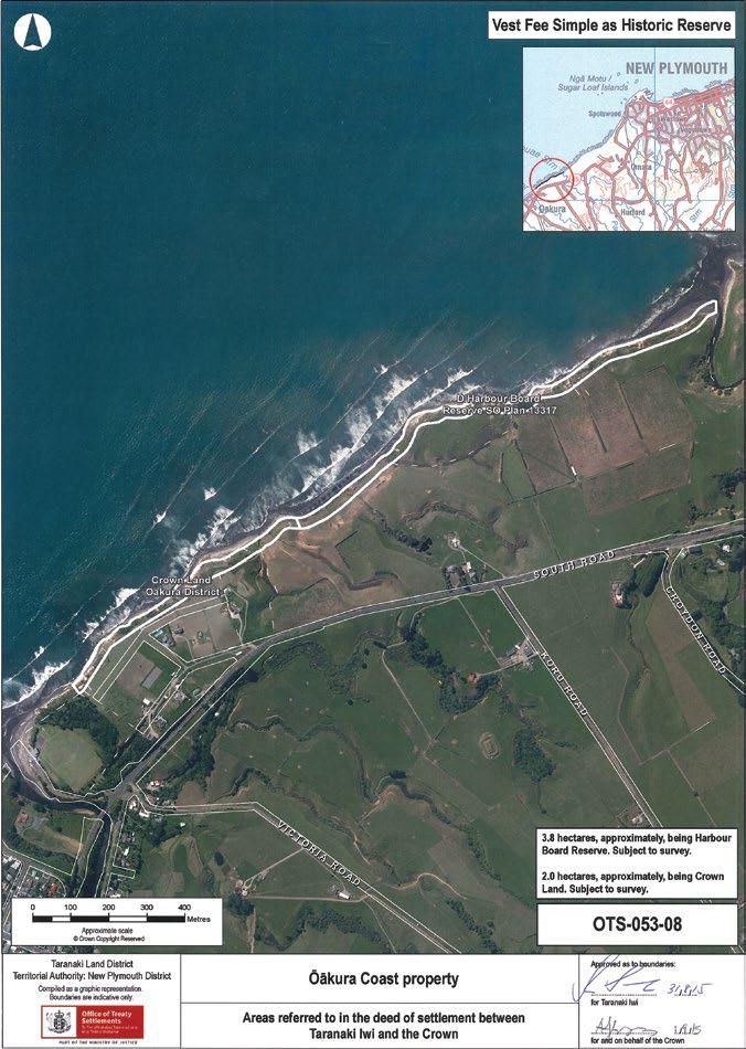
Te Kāhui o Taranaki – 103
Oākura Coast Historic Reserve
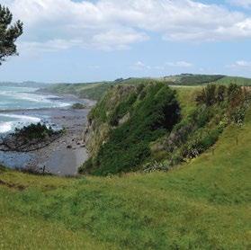
Description
Coastal marginal strip. Parts of section 24 (Marginal Strips) of the Conservation Act 1987 do not apply. Urupa at western end of reserve.
Access
History/ Cultural Features
Conservation Values
Topography
Off beach, from paper road off South Road at 1683126 5670752 or down Washer Road and the Tapuae Marine Reserve access.
Site of Kekeorangi Pa. Also refer to Pungarehu Coast Historic Reserve below.
Medium conservation values.
Erosive steep coastal cliffs, coastal margin partially in sea.
Vegetation Grasses and coastal shrubs.
Key Native Flora Coastal cliff habitat.
Key Native Fauna Nil.
Animal Pests Hares, rabbits.
Plants Pests Weeds.
Boundary/ Fencing
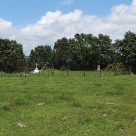
Fire/other threats
Recreation/ Tourism Facilities
Parts fenced in 5-wire and 1 to 3 wire electric, but does not follow boundary.
Coastal encroachment, public safety from erosion and fracture fissures.
Nil. Eastern end accessible from Tapuae Marine Reserve pathway on Tapuae Stream.
Interpretation Nil.
Other manmade features/ facilities Urupa in southwestern end of reserve.
Adjoining Land Use Farming and coast.
Grazing Grazed along cliff tops.
Licences/ leases Subject to unregistered research permits, some under Wildlife Act.
Key Management issues
Coastal encroachment. Erosion of Pa site and Urupa. Public safety on cliff-tops. Casual grazing. Fencing.
Date site visit 7th December 2018.

104 – Te Kāhui o Taranaki – Schedule 2 Land Inventory
Ōāonui Historic Reserve
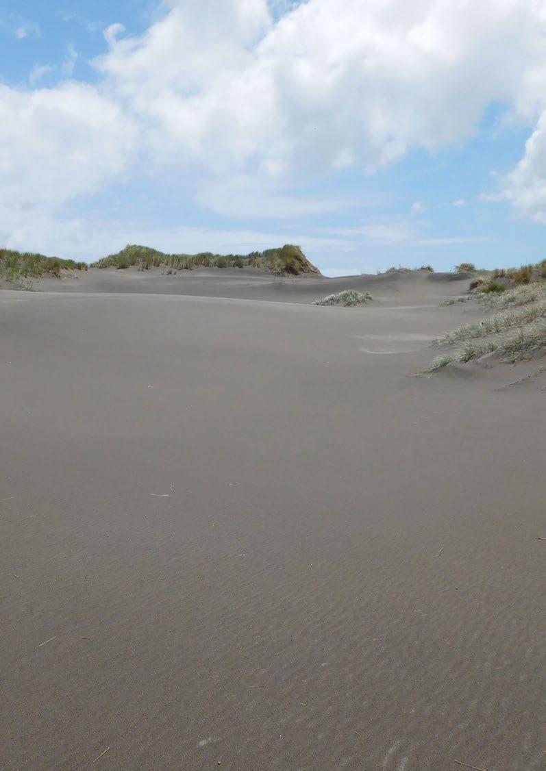
Site Name Ōāonui Historic Reserve
Legal Description Lot 3 DP 12925
Size 16.5554
Classification Fee simple, historic reserve, administered as a reserve
DOC Unit No 70673 File ref LAN 2281
Map Coordinates (point reference) 1668373 5638423
Local Authority South Taranaki District Listed as a SNA
Heritage NZ/NZAA No Nil
Te Kāhui o Taranaki – 105
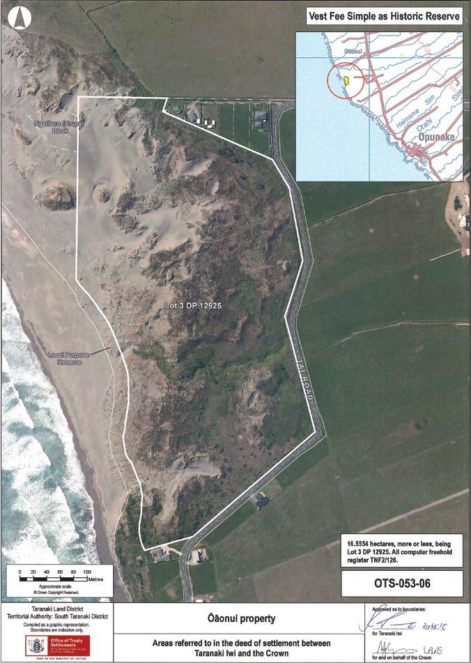
106 – Te Kāhui o Taranaki – Schedule 2 Land Inventory
Ōāonui Historic Reserve
Description
Mobile duneland, subject to wind erosion on coast.
Access Tai Road.
History/ Cultural Features
Te Tuahu – extensive urupa and occupation site with cultivations. This was regarded as a tapu place. Also refer to Pungarehu Coast Historic Reserve below. Has been part of a planting, pest and restoration programme managed by STOS and Ngatitara Ōāonui Sandy Bay Society Inc who prepared a draft management plan in 2003.
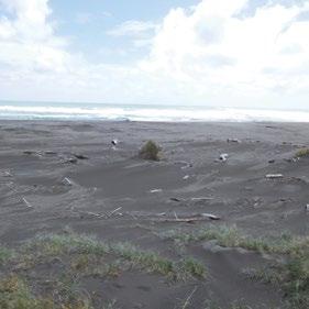
Conservation Values
Topography
High – coastal dune system.
Coastal dunes. Significant dune landscape – refer DOC Science for Conservation 157 - Inventory of New Zealand’s active dunelands.
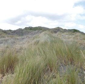

Vegetation
Native grasses, tussocks, flaxes, marram, spinifex, pingoa, coprosma acerosa.
Key Native Flora Pingao.
Key Native Fauna Goldstripe gecko, dotterels.
Animal Pests
Rabbits, hares, possums – pest management equipment in situ.
Plants Pests Boxthorne, blackberry, ragwort
Boundary/ Fencing
Inadequate, 3-wire electric in parts. Old erosion fencing in dunes.
Fire/other threats Coastal encroachment and erosion.
Recreation/ Tourism Facilities Nil, access to coast. Toilets adjacent, supplied by STDC.
Interpretation (STOS) Restoration programme sign at entrance.
Other manmade features/ facilities Stile. Pipeline traverses reserve, midline, east to west.
Adjoining Land Use Coastal subdivision, farming.
Grazing Nil
Te Kāhui o Taranaki – 107
Ōāonui Historic Reserve
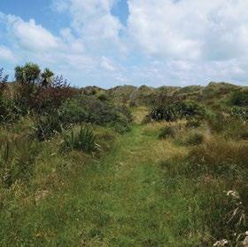
Licences/ leases
Subject to unregistered research permits, some under Wildlife Act. Easement for Shell Todd.

Key Management issues Coastal erosion and dune restoration/ stabilisation.Vehicle control.
Date site visit 6th December 2018.
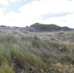
108 – Te Kāhui o Taranaki – Schedule 2 Land Inventory
Okahu Historic Reserve
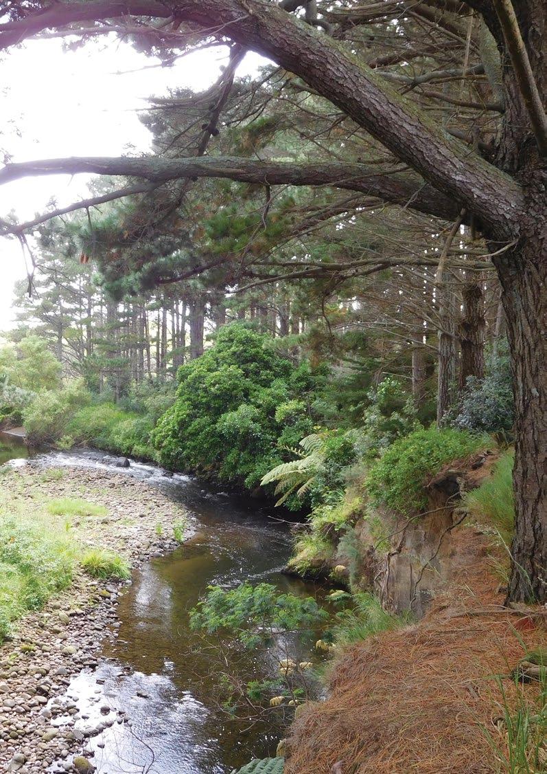
Site Name Okahu Historic Reserve
Legal Description Sect 1 SO 500023
Size 0.3533
Classification Fee simple, historic reserve, administered as a reserve
DOC Unit No 70799
Map Coordinates (point reference) 1667749 5644102
Local Authority South Taranaki District
Heritage NZ/NZAA No Nil – Okahu Pa 150m NE – P20/68
Te Kāhui o Taranaki – 109
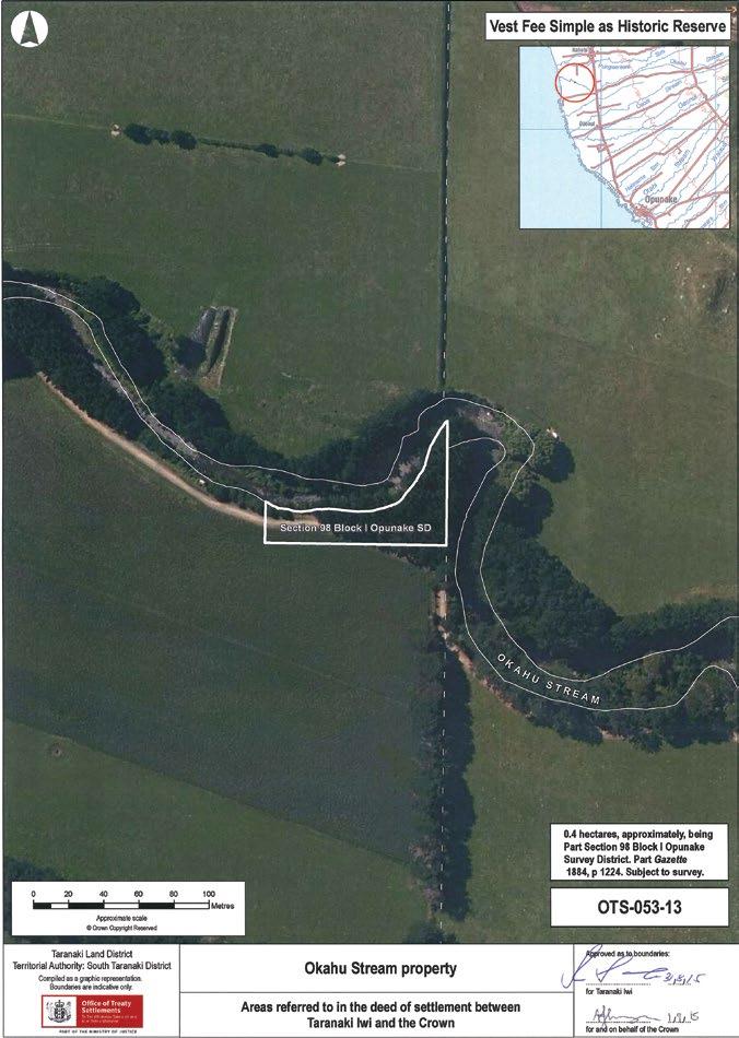
110 – Te Kāhui o Taranaki – Schedule 2 Land Inventory
Okahu Historic Reserve
Description
Partial pasture and partial pines on stream bend. Parts of section 24 (Marginal Strips) of the Conservation Act 1987 do not apply.
Access
History/ Cultural Features
Conservation Values
Only legal access via Okahu Stream bed. With farmer’s permission, off 134 Manihi Road farm race –Washer Farms.
Two sites along the Stream – Titere Pa and Okahu Pa, the latter being the kainga of Okahu Hapu.
No conservation values. Good regeneration of natives under pines.
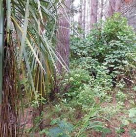
Topography Stream bank.
Vegetation
Part pasture, part pines.
Key Native Flora Nil – regeneration.
Key Native Fauna Nil.
Animal Pests Hares, rabbits, possums, mustelids. Plants Pests Weeds, esp Tradescantia.
Boundary/ Fencing
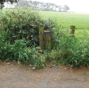
Fire/other threats
On farm race – does not follow boundary - most of the farm race at this point is within the parcel.
Stock trespass.
Recreation/ Tourism Facilities Nil.
Interpretation Nil.
Other manmade features/ facilities Farm race to and across site.
Adjoining Land Use Farming.
Grazing On paddock portion.
Licences/ leases Subject to unregistered research permits, some under Wildlife Act.
Key Management issues
Fencing. Removal of pines. Legal/negotiated access.
Date site visit 10th December 2018.

Te Kāhui o Taranaki – 111
Ōkato Coast Historic Reserve
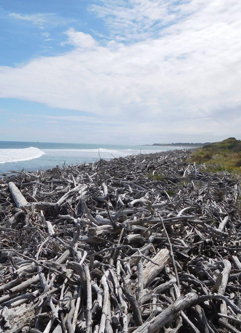
Heritage NZ/NZAA No
NZAA No. P19/75, P19/202 (adjacent), P19/122 (adjacent). P19/128 NE of northern portion (private land, true left Katikara Stream mouth). P19/119 Tukitukipapa also adjacent. P19/203 Mounu Kahawai Pa 250m NE of Kaihihi Road Lower portion.
Site Name Ōkato Coast Historic Reserve Legal Description Sect 1, 2, 3, 4, 5, 6, 7 and 9 SO 495008 Size 10.1272 Classification Fee simple, historic reserve, administered as a reserve DOC Unit No 70560 Map Coordinates (point reference) 1676379 5667882 1674788 5666836 1672612 5665071 1672262 5664717 1670876 5663820 Local Authority New Plymouth District. Waahi Taonga No.
107, 189
64,
112 – Te Kāhui o Taranaki – Schedule 2 Land Inventory
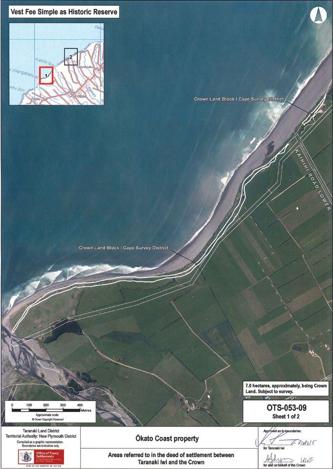
Te Kāhui o Taranaki – 113
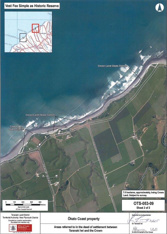
114 – Te Kāhui o Taranaki – Schedule 2 Land Inventory
Ōkato Coast Historic Reserve
Description
Coastal marginal strip, north portion adjacent to Maitahi Scientific Reserve. Western block extends from the mouth of Hangatahua (Stony) River eastward to Kaihihi Stream and the Old Coast Road. Parts of section 24 (Marginal Strips) of the Conservation Act 1987 do not apply.

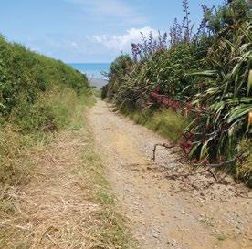
Access
North portion via unformed paper road NE from end Leith Road or west from Lower Pitone Road and across Katikara Stream, and west from Perth Road (vehicle track 1674991 5666859, road reserve). Western block accessible from beach track at end of Kaihihi Road Lower or Hangatahua (Stony) River mouth.
History/ Cultural Features
Several Pā and kainga located along this section of coast. Parawaha Pā had large cultivation along this section of beach. Rangatira Porikapa Te Wariwari and his wife Reti and others are buried here. Mounu Kahawai was another large Pā located at the mouth of the Kaihihi Stream. This Pā was attacked by Ngāpuhi and Ngati Whatua under Murupaenga in 1818. A fire was set in the Totoaro swamp to screen the attack. Also refer to Pungarehu Coast Historic Reserve below.
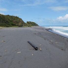
Conservation Values
Medium conservation values.
Topography Coastal embankments.
Vegetation
Native coastal shrubs and tussocks. Lupins and low scrub to west.
Key Native Flora Flax and taupata.
Key Native Fauna Nil.
Animal Pests Hares, rabbits, possums.
Plants Pests Boxthorn, gorse.
Boundary/ Fencing
Fire/other threats
In part, inland side mainly, does not follow boundary.
Coastal encroachment.
Te Kāhui o Taranaki – 115
Ōkato Coast Historic Reserve
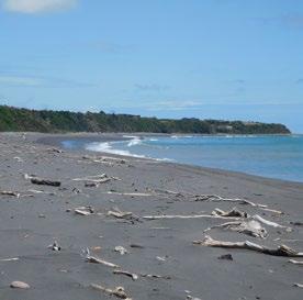
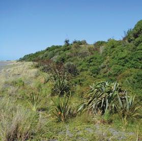
Recreation/ Tourism Facilities
Access to beach at Kaihihi Road and Perth Road, includes quad bike access.
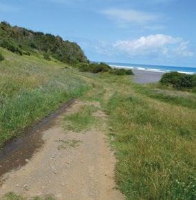
Interpretation Nil.
Other manmade features/ facilities Nil.
Adjoining Land Use Farming and coastline. Rural residential in part.
Grazing Casual.
Licences/ leases
Key Management issues
Subject to unregistered research permits, some under Wildlife Act.
Access to beach for mixed activities – surfing, fishing, quads. Access to historic sites. Coastal erosion.
Date site visit 12th December 2018.
116 – Te Kāhui o Taranaki – Schedule 2 Land Inventory
Opunake site A
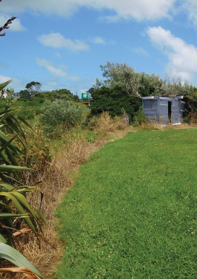
Site Name Opunake site A Legal Description Sect 1 SO 489951 Size 0.1066 Classification Fee simple DOC Unit No 70367 Map Coordinates (point reference) 1674314 5632366 Local Authority South Taranaki District Heritage NZ/NZAA No Nil Te Kāhui o Taranaki – 117
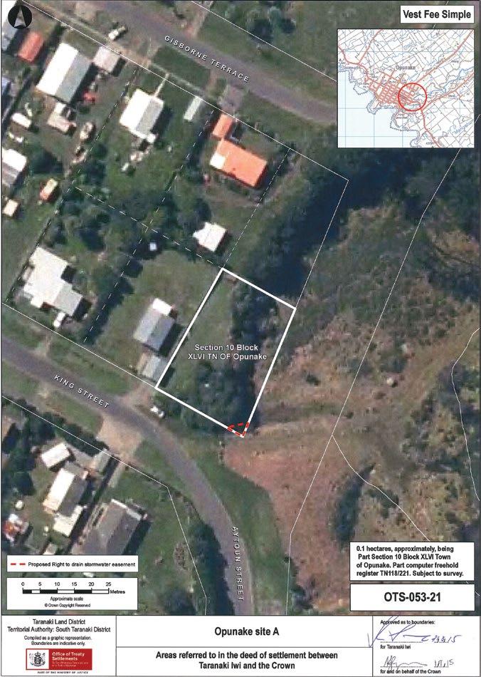
118 – Te Kāhui o Taranaki – Schedule 2 Land Inventory
Opunake site A
Description Residential section.
Access 1 King Street, Opunake. Unformed legal road on eastern boundary.
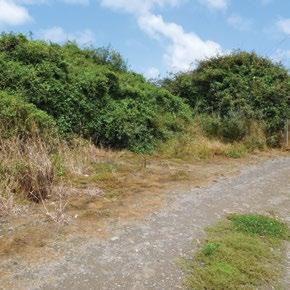
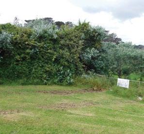
History/ Cultural Features Unknown.
Conservation Values Nil.
Topography Flat section dropping off east towards Waiaua River.
Vegetation Half grass, half scrub.
Key Native Flora Nil.
Key Native Fauna Nil.
Animal Pests Rodents, mustelids, possum.
Plants Pests Weeds.
Boundary/ Fencing None.
Fire/other threats Squatting.
Recreation/ Tourism Facilities Nil.
Interpretation Nil.
Other manmade features/ facilities Old shack – looks used as a hangout.
Adjoining Land Use Residential to west, river bank to the east.
Grazing On paddock portion.
Licences/ leases
Subject to unregistered research permits, some under Wildlife Act. Easement in SE corner for storm water.
Key Management issues Pest and weed management. Casual unintended use.
Date site visit 6th December 2018.
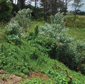
Te Kāhui o Taranaki – 119
site B)
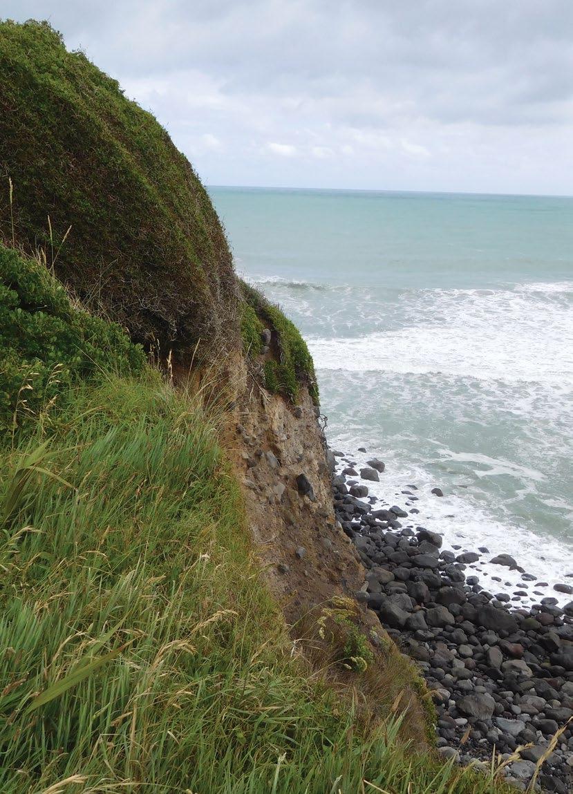
Site Name Opunake Coast Historic Reserve (Opunake site B) Legal Description Pt sect 1 Opunake Suburban Size 2.0 Classification Fee simple, historic reserve, administered as a reserve DOC Unit No 70891 Map Coordinates (point reference) 1673054 5632304 1672875 5632054 1672966 5631929 1673248 5632048 1673399 5632105 Local Authority South Taranaki District Heritage NZ/NZAA No Nil. NZAA P20/19 Te Namu is 800m to the northwest 120 – Te Kāhui o Taranaki – Schedule 2 Land Inventory
Opunake Coast Historic Reserve (Opunake
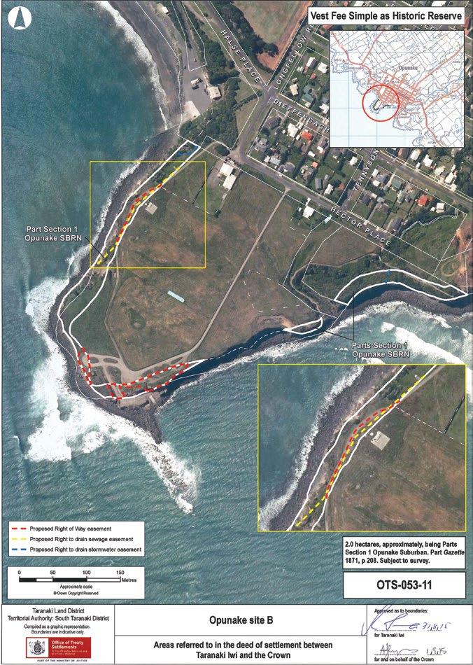
Te Kāhui o Taranaki – 121
Opunake Coast Historic Reserve (Opunake site B)
Description
Coastal marginal strip, part of coastal walkway.
Access Off Hector Place, Opunake.
History/ Cultural Features
Unknown. Adjacent to Te Namu Pa where in 1833 “a small Taranaki force held off a large taua of Waikato and other northern tribes” (Prickett, Historic Taranaki, 1990).
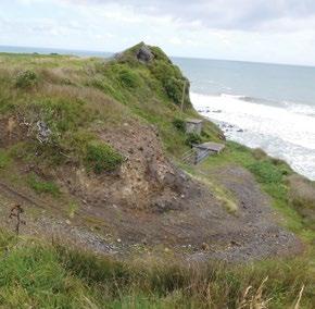
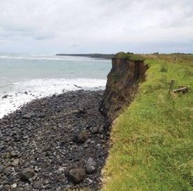
Conservation Values Low.
Topography
Coastal clifftop and margin.
Vegetation Grasses, cleared open space, some native coastal shrub in eastern portion.
Key Native Flora Nil .
Key Native Fauna Nil.
Animal Pests Rabbits, hares, possums.
Plants Pests Weeds.
Boundary/ Fencing Nil.
Fire/other threats
Coastal erosion.
Recreation/ Tourism Facilities Walkway, lookout, carpark, freedom camping.
Interpretation 3 signs – jetty/walk, wharf/breakwater, freedom camping.
Other manmade features/ facilities
Adjoining Land Use
“There is a cutting on the east side of the Headland that provided access to the former Opunake Wharf. The remains of the wharf can still be seen.”
Reserves Descriptions – Taranaki Iwi Rohe Draft, STDC, 4/7/2017.
Residential housing, coast.
Grazing Adjacent but not on reserve.
Licences/ leases
Key Management issues
Subject to unregistered research permits, some under Wildlife Act. Easements for walking access, stormwater and sewage pipes and drainage.
Coastal erosion. Maintenance of lookout platform. Public safety on cliff portion of walkway (Occupiers Liability Act).
Date site visit 6th December 2018.
122 – Te Kāhui o Taranaki – Schedule 2 Land Inventory
Ōrimupiko/ Headlands site A
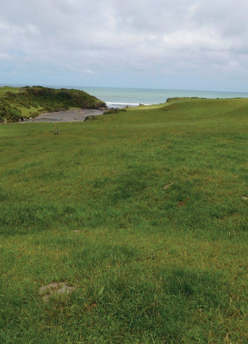
Site Name Ōrimupiko/Headlands site A Legal Description Sect 1 SO 502723 Size 14.2400 Classification Fee simple DOC Unit No Nil Map Coordinates (point reference) 1673893 5631870 1673892 5631380 1674128 5631738 Local Authority South Taranaki District Heritage NZ/NZAA No Nil Te Kāhui o Taranaki – 123
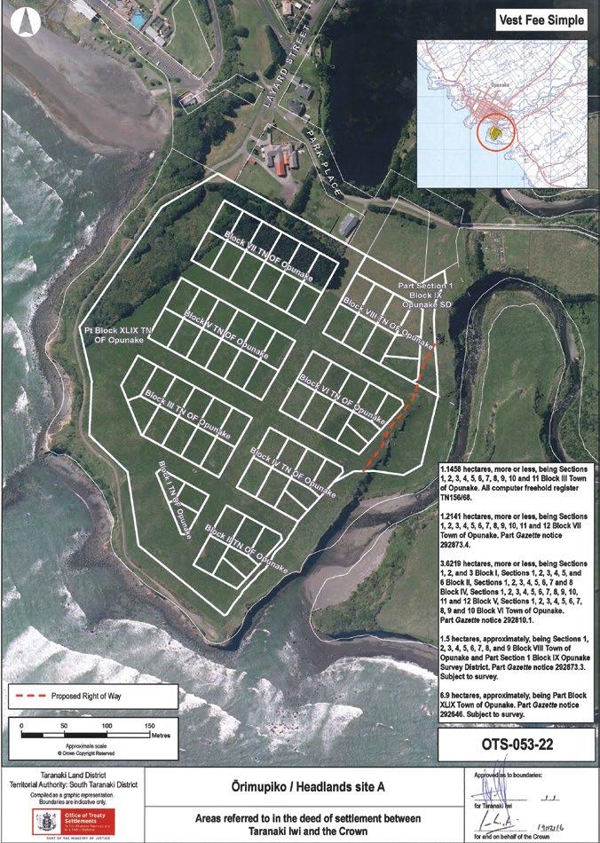
124 – Te Kāhui o Taranaki – Schedule 2 Land Inventory
Ōrimupiko/Headlands site A
Description Open flat land.
Access Off Layard Street/Park Place, Opunake
History/ Cultural Features
Prickett, N. 1990, Historic Taranaki, an Archaeological Guide, Wellington, GP Books, TRC993.48 PRI Pg. 35 (Small Caption). “This land comprises part of the Opunake Domain, the balance of the Domain being the Beach Camp site and the Recreation Ground. In 1887 Sections 1 to 12 Block VII Town of Opunake were reserved for police purposes. They were changed from a reserve for police purposes to a reserve for recreation in 1940. Blocks IV, I, VI, VIII, V and II Town of Opunake were permanently reserved for recreation reserve purposes in 1891. The Opunake Town Board was appointed as the Domain Board by Gazette notice 1893 page 1899. The Egmont County Council replaced the Town Board as Domain Board when the Town Board went out of existence, and the Domain was subsequently vested in the County Council. In 1924 an area of road was stopped and became Crown land. It was given the new legal description of Section 1 Block IX Opunake Survey District in 1928, and was added to the Opunake Domain in 1940. An additional area of road was stopped in 1940, given the legal description of Block XLIX Town of Opunake and added to the Domain. Sections 1 to 11 Block III Town of Opunake were vested in the Opunake Borough Council by the Opunake Harbour Act 1938. In 1940 it was vested in the Crown as recreation reserve and added to the Opunake Domain. This site was previously the Opunake Golf Course, before the course was relocated to Namu Road. It comprised a nine-hole course and the land was leased to the Opunake Golf Club. All but a small portion of the Southern Headland was vested in Te Kāhui o Taranaki Iwi under the Taranaki Iwi Claims Settlement Act 2016, and ceased to be a reserve.” Reserves Descriptions – Taranaki Iwi Rohe Draft, STDC, 4/7/2017.
Conservation Values Low.
Topography Flat farmland. Paddocks on clifftop.
Vegetation Grass.
Key Native Flora Some regeneration in north sector.
Key Native Fauna Nil.
Animal Pests Rabbits, hares, possums.
Plants Pests Weeds.
Boundary/ Fencing 3-wire electric, approximately on west and southern boundary. Nil on east.
Fire/other threats Nil.
Recreation/ Tourism Facilities
Walkway on adjacent coastal parcel west and south. See Ōrimupiko Historic Reserve (Headlands site B).
Interpretation One ‘old golf course’ sign on Park Place.
Other manmade features/ facilities Fences and stiles.
Adjoining Land Use Coast, residential, farming to east.
Grazing Yes.
Licences/ leases Easement on eastern sector for walking access (STDC).
Key Management issues Weed and pest management.
Date site visit 6th December 2018.
Te Kāhui o Taranaki – 125
Ōrimupiko Historic Reserve (Headlands
site B)
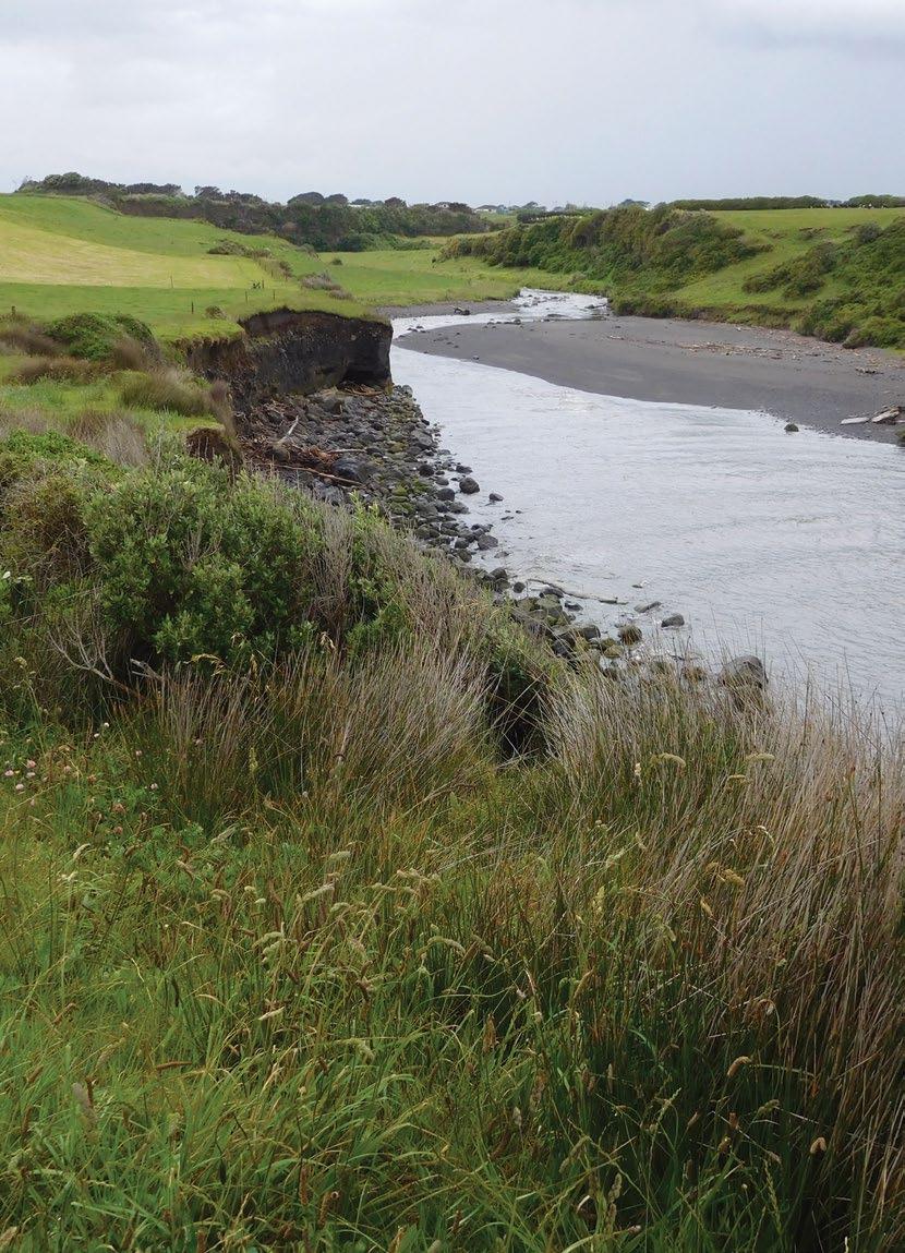
Site Name Ōrimupiko Historic Reserve (Headlands site B) Legal Description Sect 2 & 3 SO 502723 Size 3.5384 Classification Fee simple, historic reserve, administered as a reserve DOC Unit NoMap Coordinates (point reference) 1673865 5631886 1673701 5631569 1673771 5631435 1674163 5631760 Local Authority South Taranaki District Heritage NZ/NZAA No Nil – NZAA site P20/74 adjacent, E of parcel – end of Park Place 126 – Te Kāhui o Taranaki – Schedule 2 Land Inventory
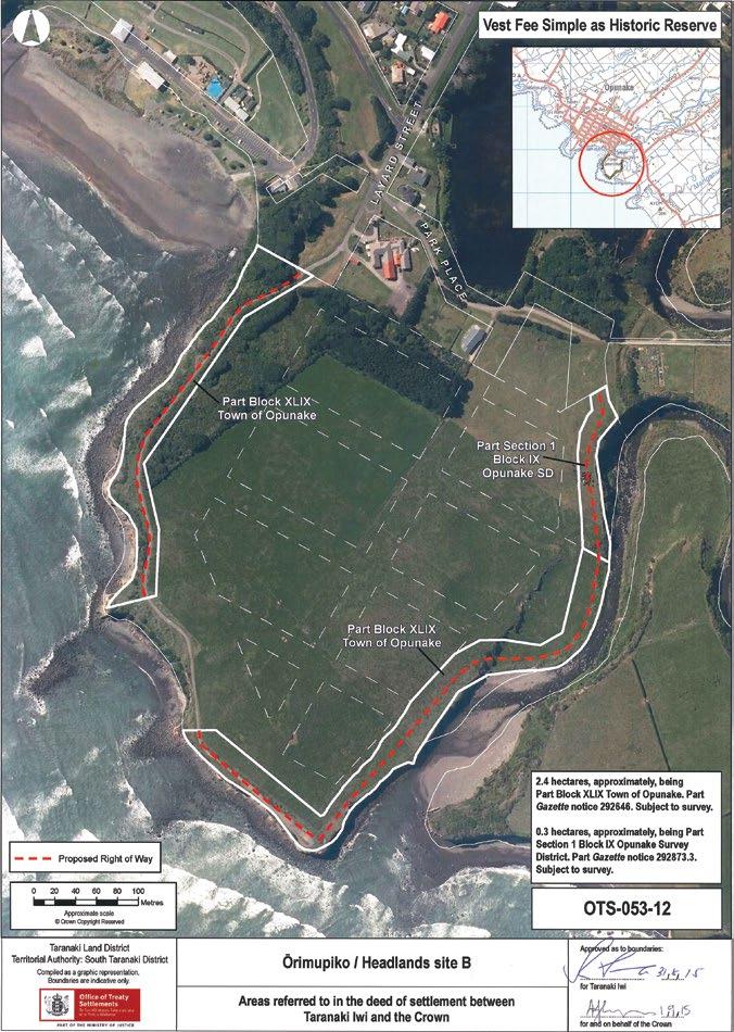
Te Kāhui o Taranaki – 127
Ōrimupiko Historic Reserve (Headlands site B)
Description
Coastal strip adjacent to Ōrimupiko/ Headlands site A. Has coastal walkway traversing the site(s). Note that Section 4 SO 502723 on the western aspect is still vested in South Taranaki District Council.
Access Via Layard Street, Opunake, in the north-west, or via the coastal walkway (Park Place extension) in the north-east.
History/ Cultural Features Refer to Ōrimupiko/Headlands site A.
Conservation Values Low.
Topography Coastal margin and clifftop.
Vegetation Grass, some native shrubs in north corner.
Key Native Flora Nil – replanted flaxes, taupata and some natives on west section of walkway.
Key Native Fauna Nil.
Animal Pests Mustelids, rabbits, hares, possums. Plants Pests Weeds.
Boundary/ Fencing
Share boundary with Ōrimupiko A on west side, mix of 3 wire mainly with 6-wire post and batten on eastern boundary.
Fire/other threats Coastal erosion and encroachment. Public safety on cliff tops.
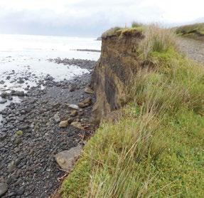
Recreation/ Tourism Facilities
Walkway on coastal marginal strip –not listed on Walking Access NZ site as a walkway.
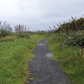
Interpretation Nil – only walkway labels.
Other manmade features/ facilities Stiles.
Adjoining Land Use Coast, joins Ōrimupiko/Headlands site A.
Grazing Yes, on eastern portion.
Licences/ leases Easement through reserve for walking access (STDC).
Key Management issues
Status of Section 4 SO 502723 –ex-Council rubbish dump site, still in STDC ownership. Pest and weed management. Public safety on clifftops. Erosion and, potentially, loss of walkway.
Date site visit 6th December 2018.
128 – Te Kāhui o Taranaki – Schedule 2 Land Inventory
Pungarehu
Site Name Pungarehu

Legal Description Sect 125 Block VII Cape Survey District Sect 139 Block VIII Cape Survey District
Size 1.0168 0.2770
Classification Fee simple
DOC Unit No -
Map Coordinates (point reference) 1669888 5653657
Local Authority South Taranaki District
Heritage NZ/NZAA No Nil. NZAA P20/36 Pa site 400m to NE
Te Kāhui o Taranaki – 129
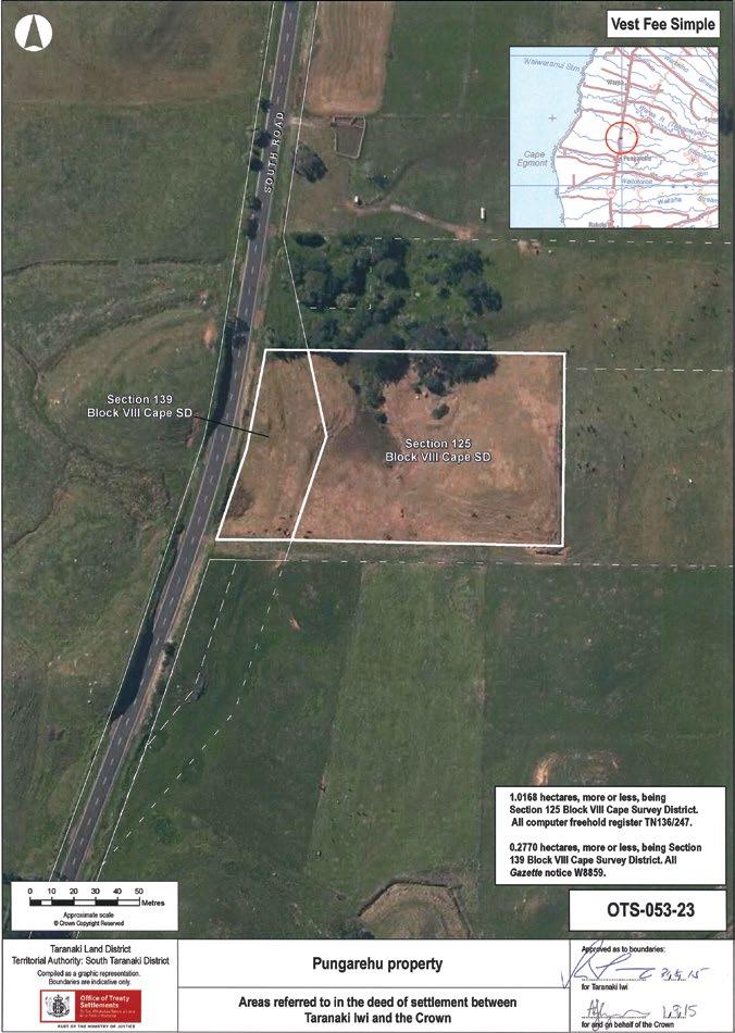
130 – Te Kāhui o Taranaki – Schedule 2 Land Inventory
Pungarehu
Description Rolling farm country.
Access South Road, approximately #6520 east of road.
History/ Cultural Features Previous road alignment and gravel pit.
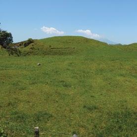
Conservation Values Low.
Topography Rolling farm country, small spring and wetland.
Vegetation Grass, bush on northern boundary.

Key Native Flora Nil
Key Native Fauna Nil
Animal Pests Rabbits, hares,.
Plants Pests Weeds.
Boundary/ Fencing On road frontage and two sides, fence at rear does not align with boundary.
Fire/other threats Nil.
Recreation/ Tourism Facilities Nil.
Interpretation Nil.
Other manmade features/ facilities Nil.
Adjoining Land Use Farming.
Grazing Casual. Licences/ leases Nil.
Key Management issues
Weed and pest management. Fencing.
Date site visit 10th December 2018.
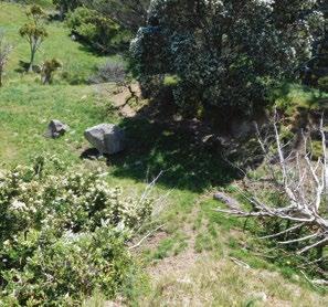
Te Kāhui o Taranaki – 131
Pungarehu Coast Historic Reserve
(Cape Egmont site B)
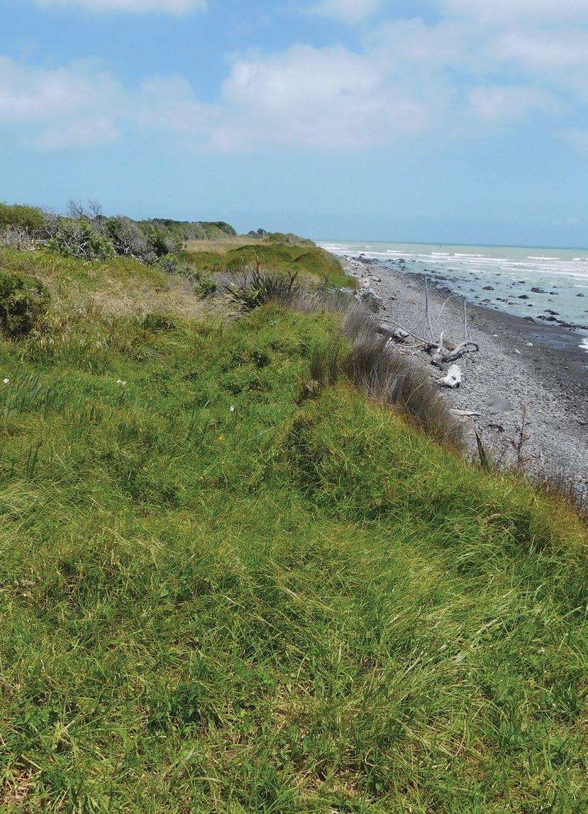
Site Name Pungarehu Coast Historic Reserve (Cape Egmont site B) Legal Description Sects 2, 3, 4, 6, 7, 8, 10, 11, 13, 16, 19, 21, 23, 24, 26 and 28 SO 465006 Size 13.7701 Classification Fee simple, historic reserve, administered as a reserve DOC Unit No 70562 (part/balance) Map Coordinates (point reference) 1666889 5656365 1666774 5655744 1666529 5655125 1666282 5654771 1666217 5654652 1666168 5654597 1666126 5654521 1666098 5654559 1665867 5654112 1665761 5653957 1665551 5653712 1665326 5653437 1665209 5653252 Map Coordinates (point reference) 1665054 5652892 1665016 5652764 1664879 5652356 1664833 5652032 1664965 5651267 1665115 5650723 1665202 5650045 1665290 5649106 Local Authority South Taranaki District Heritage NZ/NZAA No NZAA records: P20/80, P20/206, P20/207, P20/208, P20/209 132 – Te Kāhui o Taranaki – Schedule 2 Land Inventory
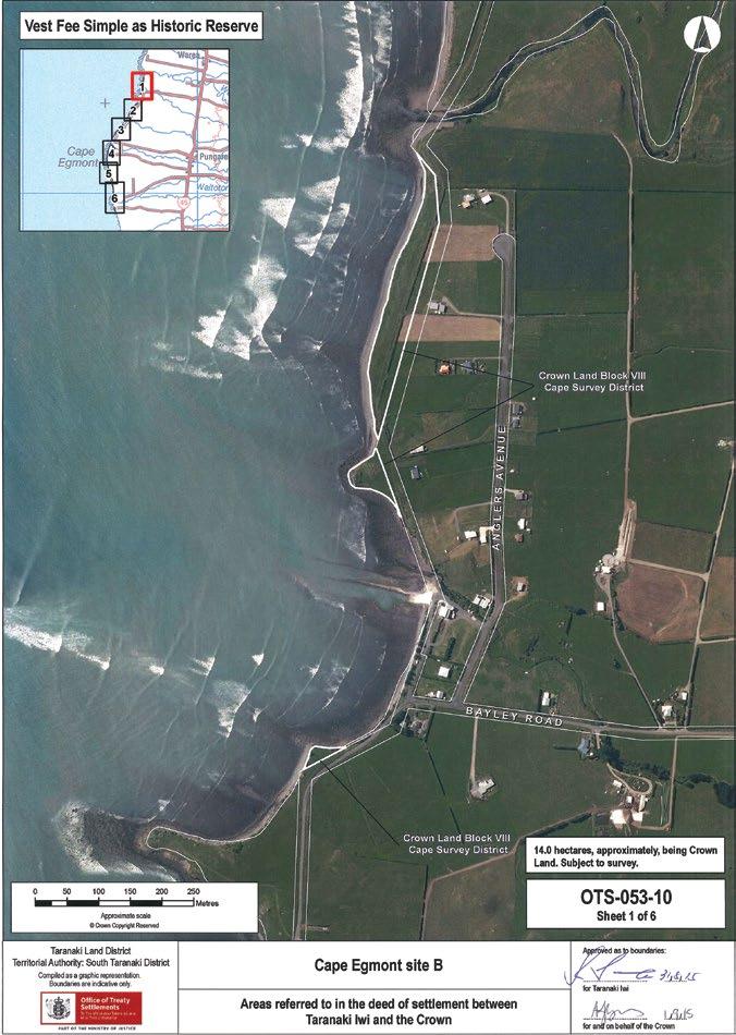
Te Kāhui o Taranaki – 133
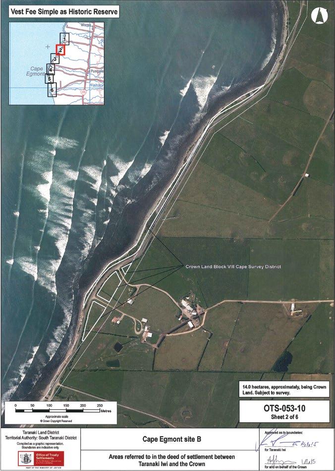
134 – Te Kāhui o Taranaki – Schedule 2 Land Inventory
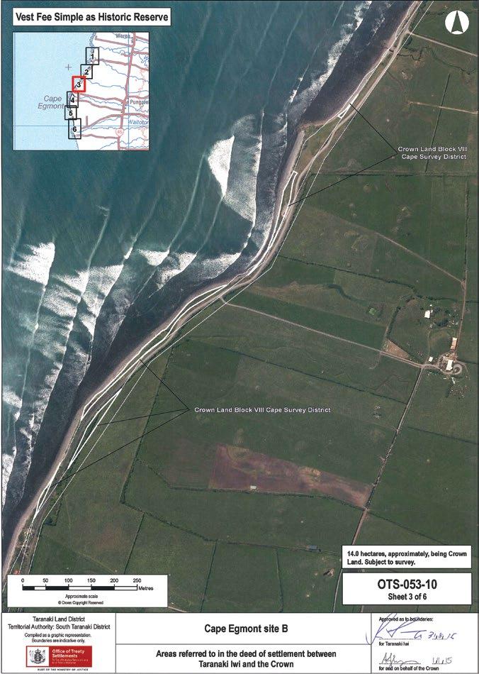
Te Kāhui o Taranaki – 135
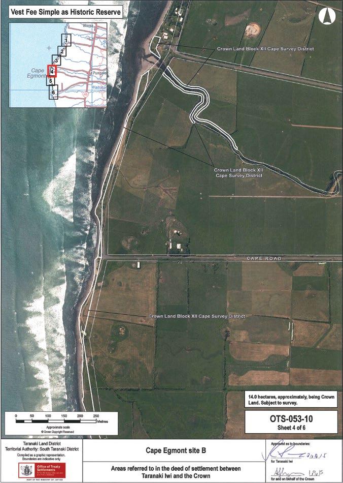
136 – Te Kāhui o Taranaki – Schedule 2 Land Inventory

Te Kāhui o Taranaki – 137
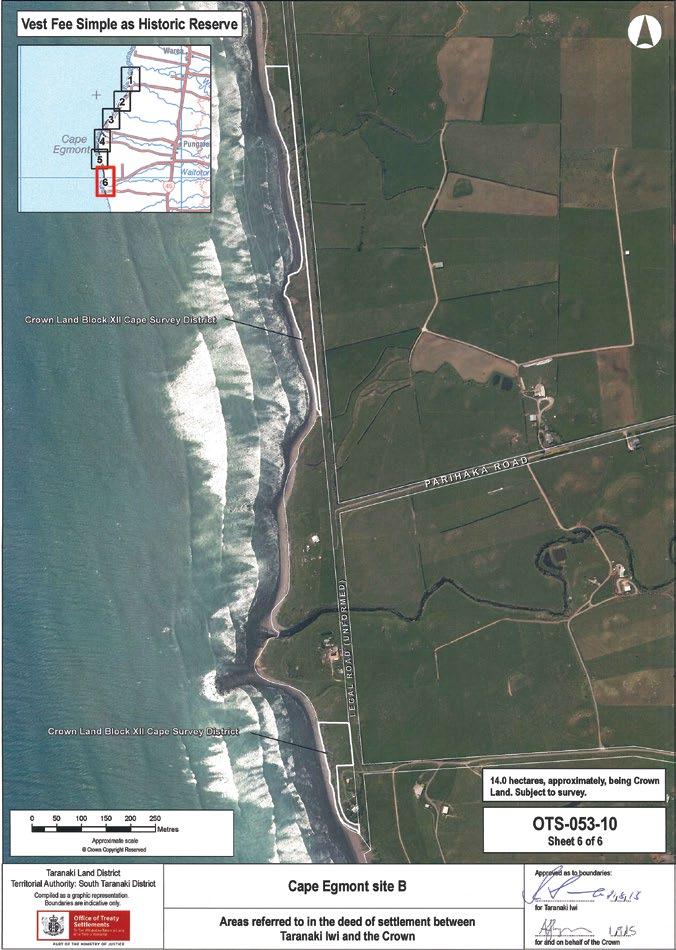
138 – Te Kāhui o Taranaki – Schedule 2 Land Inventory
Pungarehu Coast Historic Reserve (Cape Egmont site B)
Description
Various coastal marginal strips between the Coast Road and Mean High Water Mark, from Anglers Avenue/Bayley Road through to Tipoka Road. Section 24 (Marginal Strips) of the Conservation Act 1987 does not apply.
Access Various, off Coast Road, however some access is via unformed legal road.
History/ Cultural Features
Refer to Cape Egmont Lighthouse above. Taranaki Iwi exercise mana whenua and mana moana from Paritutu in the north around the western coast of Taranaki Maunga to Rawa o Turi stream in the south and from these boundary points out to the outer extent of the exclusive economic zone. The traditions of Taranaki Iwi illustrate the ancestral, cultural, historical and spiritual association of Taranaki Iwi to the coastal marine area within the Taranaki Iwi rohe (“Coastal Marine Area”). The seas that bound the Coastal Marine Area are known by Taranaki Iwi as Nga Tai a Kupe (the shores and tides of Kupe). The coastal lands that incline into the sea are of high importance to Taranaki Iwi and contain kainga (villages), pa (fortified villages), pukawa (reefs) for the gathering of mataitai (seafood), tauranga waka or awa waka (boat channels), tauranga ika (fishing grounds) and mouri kohatu (stone imbued with spiritual significance).
The importance of these areas reinforces the Taranaki Iwi tribal identity and provides a continuous connection between those Taranaki Iwi ancestors that occupied and utilised these areas. Prior to the proclamation and enforcement of the confiscation of lands within the Taranaki Iwi rohe (area of interest), Taranaki Iwi hapu occupied, cultivated, fished, harvested and gathered mataitai in the Coastal Marine Area. The entire shoreline from Paritutu to the Rawa o Turi was critical to daily life such as fishing, food gathering, cultivations and ceremonies. The sea and coastal reefs provided a staple food source with fertile volcanic soils providing excellent growing conditions for large community cultivations. Food preparation and harvesting was ultimately dependant on the lunar calendar that controlled tides and other environmental conditions, but the best times for gathering and harvesting are known by Taranaki Iwi as NgaTai o Makiri (the tides of Makiri). These generally occur in March and September.
The small boulder reefs are possibly one of the most unique features of the Taranaki Iwi coastline providing special habitat for all matters of marine life. Resources found along the extent of the coastline of Nga Tai a Kupe provide Taranaki Iwi with a constant supply of food.
The reefs provide paua (abalone), kina (sea urchin), koura (crayfish), kuku (mussels), pupu (mollusc), ngakihi (limpets), papaka (crab), toretore (sea anemone) and many other reef species, while tamure (snapper), kahawai, patiki (flounder), mako (shark) and other fish are also caught along the coastline in nets and on fishing lines.
Also evident in the reefs are the monolithic tauranga waka or awa waka where large boulders were moved aside by hand to create channels in the reef. These provided access to offshore fishing grounds and prevented boats from being smashed onto rocks by the heavy surf. Large kainga were also built around the tauranga waka providing Taranaki iwi hapu with the infrastructure for efficient fishing operations. Whenever possible, fishing nets were also set in the tauranga waka. Fishing also took the form of separate, smaller pool like structures, or tauranga ika. They were baited and had a small opening on the seaward end of the structure to attract fish. On an incoming tide fish would enter the pools to feed and would then be chased out to be caught by a net placed over the small entranceway.
Taranaki Iwi oral traditions recount that in former times, the extent of large boulder reefs in the central part of Taranaki Iwi was much larger than those seen today. The large sandy areas in the central part of the Taranaki Iwi rohe is an occurrence attributed to Mangohuruhuru.
Mangohuruhuru was from the South Island and was brought here by Taranaki Iwi Rangatira Potikiroa and his wife Puna-te-rito, who was Mangohuruhuru’s daughter. Mangohuruhuru settled on the coastal strip between Tipoka and Wairua and built a house there called Te Tapere o Tutahi. However, the large rocky Taranaki coastline was foreign to him and he longed for the widespread sandy beaches of his homeland. He warned Taranaki Iwi and told them he was calling the sands of Tangaroa. This phenomenon came as a large tsunami and totally buried Mangohuruhuru and his kainga.
Te Kāhui o Taranaki – 139
Pungarehu Coast Historic Reserve (Cape Egmont site B)
History/ Cultural Features
His final words to Taranaki iwi were:
‘Ka oti taku koha ki a koutou e nga iwi nei, ko ahau and hei papa mo taku mahi, hei papa and hoki mo koutou - This will be my parting gift for you all, that it will come at the cost of my life, but will provide a future foundation’
The sands brought by Mangohuruhuru continue to provide excellent growing conditions for many of the low lying seaside kainga within the central part of the Taranaki Iwi rohe.
The Coastal Marine Area was also the main highway for many Taranaki Iwi uri (descendants) when travelling between communities, as most of the coastal lands were free of the thick bush found a little higher towards the mountain. Coastal boundary stones and mouri kohatu are another unique cultural feature within the Taranaki Iwi rohe and they form a highly distinctive group, not commonly found elsewhere in the country. Many of these were invariably carved with petroglyphs in spiral form and were often located in accessible areas, within pa earthworks and open country. However, most of them were nestled in the reef on the seashore alongside tauranga waka, tauranga ika, pukawa, puaha (river mouths) and below or adjacent to well-known pa sites.
Tahu and Turi the twin kaitiaki (guardians) mark the mouth of the Tapuae River2, Te Pou o Tamaahua in Oakura, Te Toka a Rauhoto (originally located a little inland on the south side Hangatahua River mouth) Opu Opu (also a tauranga waka and tauranga ika) in the bay off Te Whanganui Reserve, Kaimaora, Tuha, Tokaroa and Omanu in the reefs at Rahotu and Matirawhati the stone boundary marker between Ngati Haua (a hapu of Ngaruahine) and Taranaki Iwi on the reef of the Rawa o Turi river mouth. These mouri kohatu continue to be revered by Taranaki Iwi hapu.
Although access to many areas along the Coastal Marine Area was discontinued as a consequence of confiscation, Taranaki Iwi have continued to exercise custodianship over those areas accessible to Taranaki Iwi. Many Taranaki iwi hapu have imposed rahui (temporary restrictions) over sites, restricting the taking of kuku, kina, paua and other mataitai. Proper and sustainable management of the Coastal Marine Area has always been at the heart of the relationship between Taranaki iwi and the Taranaki Iwi coastline.
Taranaki Iwi Statement of Association – Coastal Marine Area and Waterways, Deed of Settlement 2015
Conservation Values Medium conservation values. Coastal margin, sand dunes and coastal loams covered in grasses, native coastal scrub and tussocks.
Topography Expansive clean coastline.
Vegetation Generally grasses. Some native shrubs.
Key Native Flora Population of shore splurge (Euphorbia glauca).
Key Native Fauna Potentially host to nothoreas moth.
Animal Pests Hares, rabbits.
Plants Pests Some boxthorn present.
Boundary/ Fencing Fencing in part to assist with farming, does not follow boundaries.
Fire/other threats Coastal encroachment and erosion. Freedom camping.
140 – Te Kāhui o Taranaki – Schedule 2 Land Inventory
Recreation/ Tourism Facilities
Interpretation
Nil facilities. Access for surfing and quads (via road reserve). Cape Egmont Boating Club, campground and marine rescue adjacent to northern portion.
Nil. Potential to combine with lighthouse and coastal history.
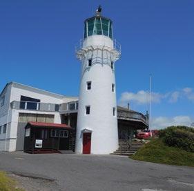
Other manmade features/ facilities Nil.
Adjoining Land Use Coast and farming.
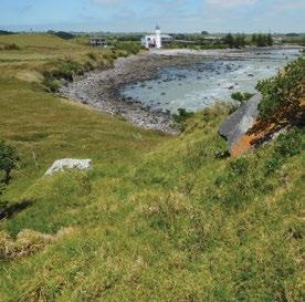
Grazing Casual in part – mainly open coastline.

Licences/ leases Nil.
Key Management issues
Fencing. Animal and weed control. Erosion.
Freedom camping. Visitor access and tourism potential.
Date site visit 10th December 2018.
Te Kāhui o Taranaki – 141
Puniho

Site Name Puniho Legal Description Sect 10 Block V Cape Survey District Size 0.3177 Classification Fee simple DOC Unit NoMap Coordinates (point reference) 1670786 5659718 1670788 5659704 Local Authority South Taranaki District Heritage NZ/NZAA No Nil. NZAA sites P19/60, P19/61, P19/201 500-600m to NE (Puniho Pa) 142 – Te Kāhui o Taranaki – Schedule 2 Land Inventory

Te Kāhui o Taranaki – 143
Puniho
Description Flat paddocks.
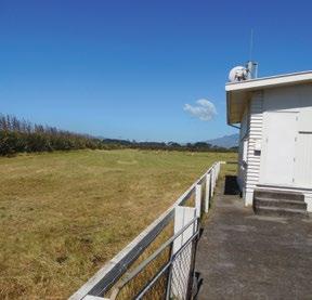
Access South Road and Mirikau Road junction.
History/ Cultural Features Unknown.
Conservation Values Low
Topography Flat.
Vegetation Grass.
Key Native Flora Nil.
Key Native Fauna Nil.
Animal Pests Rabbits, hares.
Plants Pests Weeds.
Boundary/ Fencing
On road boundaries, not on others.
Fire/other threats Nil.
Recreation/ Tourism Facilities Nil.
Interpretation Nil.
Other manmade features/ facilities Nil.
Adjoining Land Use Farming.
Grazing Casual.
Licences/ leases Nil.
Key Management issues Fencing. Animal and weed control.
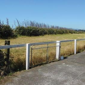
Date site visit 10th December 2018.
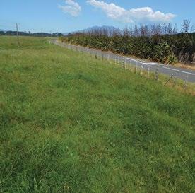
144 – Te Kāhui o Taranaki – Schedule 2 Land Inventory
Rahotu site A
Site Name Rahotu site A
Legal Description Sect 1 SO 495021
Size 0.2052
Classification Fee simple
DOC Unit No -
Map Coordinates (point reference) 1669238 5649182
Local Authority South Taranaki District
Heritage NZ/NZAA No Nil. NZAA site P20/58 500m NW
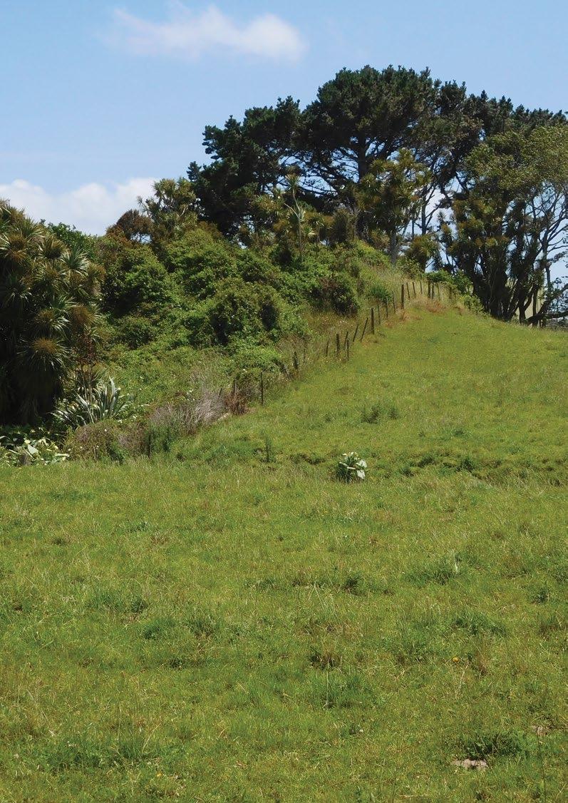
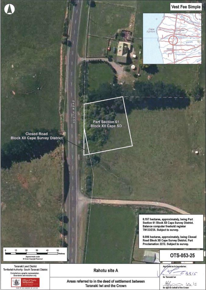
146 – Te Kāhui o Taranaki – Schedule 2 Land Inventory
Rahotu site A
Description
Weeds and paddock alongside South Road. The culvert is excluded from the title.
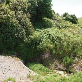
Access South Road, just south of #6066 South Road.
History/ Cultural Features Unknown.
Conservation Values Low.
Topography Slight knoll NW corner, wet re-entrant SW corner.
Vegetation Part weeds, part paddock grasses.
Key Native Flora Nil, some secondary regeneration within the weeds.
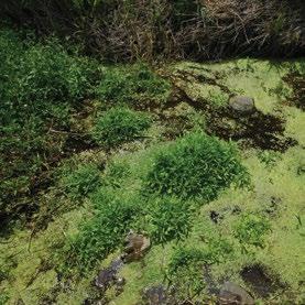
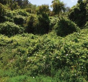
Key Native Fauna Nil.
Animal Pests Rabbits, hares, possums. Plants Pests Weeds.
Boundary/ Fencing On Road boundary only, does not follow boundary.
Fire/other threats Weed infestation.
Recreation/ Tourism Facilities Nil.
Interpretation Nil. Other manmade features/ facilities Nil.
Adjoining Land Use Farming.
Grazing Casual.
Licences/ leases Nil.
Key Management issues
Fencing. Weed removal. Animal and weed control
Date site visit 10th December 2018.
Te Kāhui o Taranaki – 147
Rahotu site B
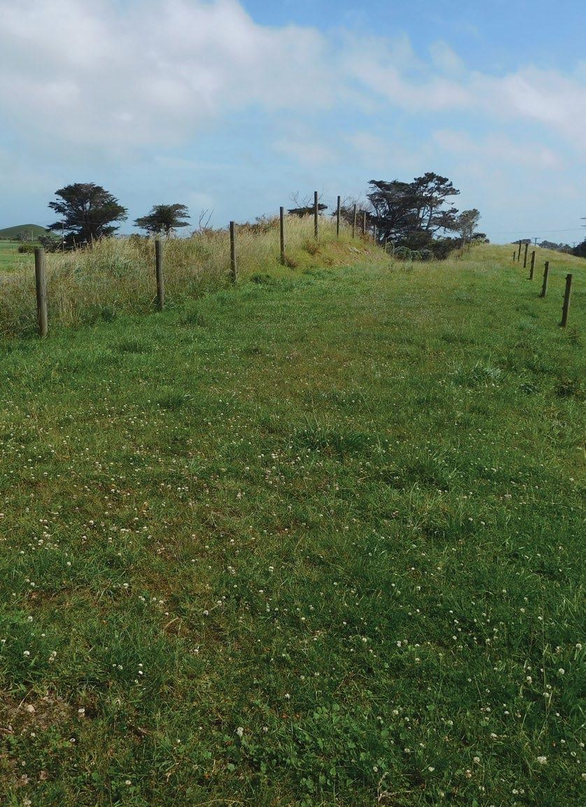
Site Name Rahotu site B Legal Description Pt sect 62 Block XII Cape Survey District Size 0.1639 Classification Fee simple DOC Unit NoMap Coordinates (point reference) 1669081 5648371 Local Authority South Taranaki District Heritage NZ/NZAA No Nil
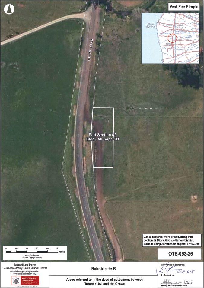
Te Kāhui o Taranaki – 149
Rahotu site B
Description
Flat paddock, used as farm race to underpass, alongside South Road.
Access Off South Road, approximately #5970 South road, east of road.
History/ Cultural Features Unknown.
Conservation Values Low.
Topography Flat paddock.
Vegetation Part scrub, part paddock grasses.
Key Native Flora Nil.
Key Native Fauna Nil.
Animal Pests Rabbits, hares, possums.
Plants Pests Weeds.
Boundary/ Fencing
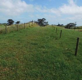
Deer fence on road boundary, 3-wire electric on inland fence does not follow boundary.
Fire/other threats Nil.
Recreation/ Tourism Facilities Nil.
Interpretation Nil.
Other manmade features/ facilities Nil.
Adjoining Land Use Farming.
Grazing Casual.
Licences/ leases Nil.
Key Management issues Fencing. Animal and weed control.
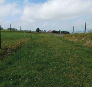
Date site visit 10th December 2018.
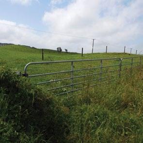
150 – Te Kāhui o Taranaki – Schedule 2 Land Inventory
Rahotu site C
Site Name Rahotu site C
Legal Description Sect 14 Block V Opunake Survey District
Size 0.8094
Classification Fee simple
DOC Unit No -
Map Coordinates (point reference) 1669779 5640871
Local Authority South Taranaki District
Heritage NZ/NZAA No Nil
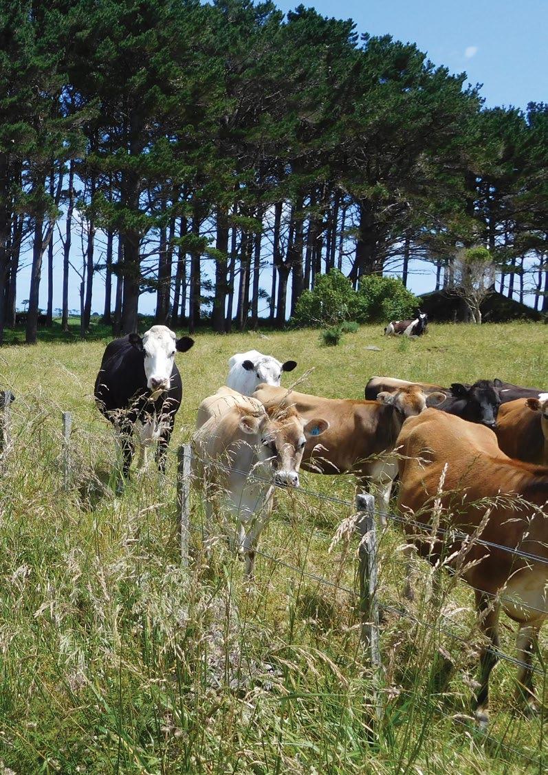
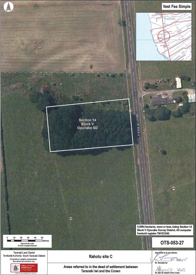
152 – Te Kāhui o Taranaki – Schedule 2 Land Inventory
Rahotu site C
Description Pine block. State Highway 45 adjoining.
Access South Road, west of road opposite #5218 South Road.
History/ Cultural Features Unknown. Ex-gravel reserve.
Conservation Values Low.
Topography
Flat paddock with partially quarried lahar mound in SW corner. Creek flowing west to east in northern portion.
Vegetation Pines and grasses.
Key Native Flora Nil.
Key Native Fauna Nil.
Animal Pests Rabbits, hares, possums.
Plants Pests Weeds, pines.
Boundary/ Fencing
On road boundary, east and south sides, needs repair. Northern boundary not fenced.
Fire/other threats Fire with pines.
Recreation/ Tourism Facilities Nil.
Interpretation Nil.
Other manmade features/ facilities Nil.
Adjoining Land Use Farming.
Grazing Yes.
Licences/ leases Nil.
Key Management issues
Removal of pines. Casual grazing. Pest and weed management.
Date site visit 6th December 2018.
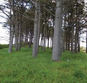
Te Kāhui o Taranaki – 153
Tapuīnikau Pā Historic Reserve
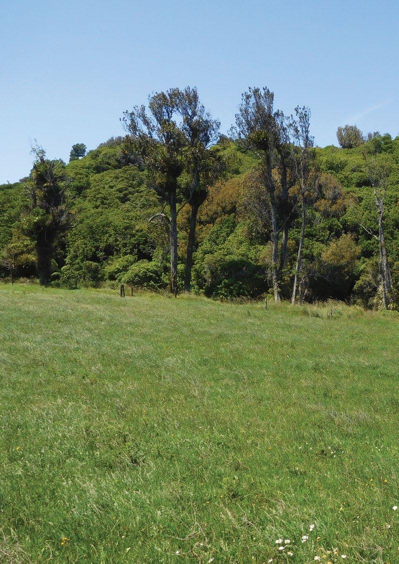
Site Name Tapuīnikau Pā Historic Reserve Legal Description Lot 1 DP 12237 Tapuīnikau A Size 2.4300 1.0749 Classification Fee simple, historic reserve, administered as a reserve DOC Unit No 70374 Map Coordinates (point reference) 1672103 5655233 1672318 5654951 Local Authority South Taranaki District Heritage NZ/NZAA No HNZ no. 5974. NZAA nos. P20/21, P20/22 on site, P20/23 and P20/97 150250m WNW
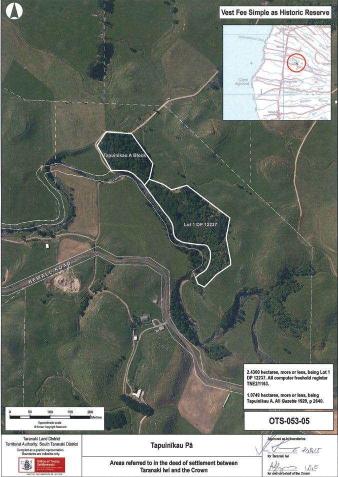
Te Kāhui o Taranaki – 155
Tapuīnikau Pā Historic Reserve
Description
Heavily vegetated, moderate rolling lahar land forms, south boundary Warea Stream, predominantly north facing.
“This site is located on three lahar mounds characteristic of the area. The south side of all three is a steep bluff formed by a bend of the Teikaparua Stream. The major part of the site is on the most westerly of the three mounds and is covered by well-established native forest. It comprises a small platform about 15 m long on the summit and a series of concentric terraces (there are no terraces on the stream side). Stone revetting is present in places on the scarps.
Stones on the terrace surfaces suggest that the revetments were once more extensive and have deteriorated. A short ditch with a low outer bank is present at the western extremity of the site. The southern end of this ditch becomes a track which descends to the river flat, while the northern end terminates at a small terrace which may have been the main entrance to the pa. The entry leads to the lowest terrace which at intervals around its perimeter has a bank and which at its eastern extremities comes a ditch. In general the features of this pa lying within the reserve are well preserved and clear.
Two important aspects of this site should be noted. First, a document by C.M. Hill (n.d.) supplied by Roy Komene of Taranaki iwi contains a useful history of the site. The document notes the presence of sacred flax plants on the summit of Tapuīnikau. The present flax plants are probably the same plants or their descendants.
Second, a carved stone was also known to be located at the site. This stone was used until the 1950s in association with kawakawa for rituals associated with tangi. This stone was last identified on the site about thirty years ago by the daughter of the adjacent farmer. At that time she remembered the stone to be close to the edge of a terrace in the western half of the pa. It has not been located since and may have fallen from the terrace and been covered by debris.
The two other mounds to the east are covered in rank grass and densely regenerating scrub which are replacing the dying forest trees there. This ground cover made it difficult to identify the edges of features and to locate finer features such as pits and house floors which are probably also present. There are pits outside the reserve and wooden artefacts have been recovered from nearby drains. A mound approximately 300 m west of the pa is terraced and there are pits on another large mound to the north of the main part of the pa.
Archaeological mapping of pa in four Taranaki Historic Reserves, SCIENCE FOR CONSERVATION: 60, Warren Gumbley, October 1997, Department of Conservation, ISSN 1173–2946
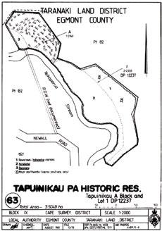
ISBN 0–478–01947–5. Parts of section 24 (Marginal Strips) of the Conservation Act 1987 do not apply.
Access Off Newall Road, Warea, previous right of way (1672189 5655003) has lapsed and is not signposted or marked. New agreement is required.
History/ Cultural Features
Excerpt from History and traditions of the Maoris of the West Coast, North Island of New Zealand, prior to 1840, S. Percy Smith, Christchurch, Capper Press, 1984.
156 – Te Kāhui o Taranaki – Schedule 2 Land Inventory
History/ Cultural Features
“Tapui-Nikau. 1818.
But the Northern taua was not satisfied with the taking of Tatara-i-inaka. They proceeded to attack other Taranaki pas. Mr. Skinner says —”From here the invaders moved on and invested Mounu-kahawai, a very large pa at the mouth of the Kaihiki stream, three miles south-west of Tatara-i-maka, on the south bank just inland of the coast road. This pa was of great size, with a large population, but was not a strong position, being built on comparatively flat ground. The invaders fired the dry raupo growing in the swamps (named Totoaro) around the pa, and under cover of the smoke and consequent confusion stormed the place, with great slaughter. Taratuha, one of the principal chiefs of Nga-Mahanga, was killed here. After the taking of this pa and the usual feasting, the taua moved on to attack Tapui-nikau.” I am not certain whether it was before or after the siege of Tapui-nikau, that a pa, situated about one and a-half miles S.S.E. of the former named Kekeua, was taken with the usual accompaniment of slaughter. Tapui-nikau is situated on the Te Ika-parua stream, about two miles south-east of the modern township of Warea, and five miles from the coast. Mr. Skinner says of Tapui-nikau—” This was another great stronghold of the Taranaki tribe, and was defended by the people of the various hapus (of Nga-Mahanga, Ngati-Moeahu, etc., etc.) who had gathered into this powerful pa to do battle with the invaders. Great preparations had been made and every precaution taken in accordance with the old Maori ideas of defence. Great stores of stones were gathered up into the fighting towers, and on stages erected on trees commanding the trenches and approaches to the pa.”
Watene says, there were a great many chiefs in the pa at the time of attack, Kukutai, Te Ratu-tonu, Mounga-tu-kau and others. At the first attack the taua was repulsed by the Taranaki people “under (says Mr. Skinner) Ruakiri, and in this affair Rarauhe of the Nga-Mahanga killed two men of rank of the attacking party. After the first attack, the invaders prepared to make a regular siege of the place, with the idea of starving out the garrison,” whilst the young men of the taua ranged the country in search of food and plunder.
Now comes in one of those instances of Maori custom which is peculiar and strange to us. During the first attack, the allies had seen and admired the splendid courage of Te Ra-tu-tonu, who was otherwise a fine handsome man in the prime of life. His deeds were the talk of the camp, and it appears that one of the women had also beheld his valour, and on that account desired to have him as her husband. This woman who—Te Watene says—was very beautiful, was Rangi-Topeora, the sister of the celebrated Te Rangi-haeata, and daughter of Te Rau-paraha’s sister Waitohi. Topeora is perhaps more famed than any other Maori lady for the number of her poetical effusions, which generally take the form of kai-oraora, or cursing songs, in which she expresses the utmost hatred of her enemies, and consigns them to all kinds of horrible deaths and desecrations so much indulged in by the Maori. At the same time her songs are full of historical allusions. She was also of the best blood of Ngati-Toa, and, therefore, with a good deal of influence in the tribe. Te Ra-tu-tonu was known to Topeora before this event, for he had formerly visited Kawhia. One child was the fruit of this union, who died young.
At Topeora’s instigation, Te Rau-paraha arranged that Te Ra-tu-tonu should be “called,” i.e.: someone would approach the beleaguered pa, and call him to come to the enemies’ camp under a guarantee of safety. This was done, and Te Ra-tu-tonu descended from the pa to the camp, where, after speeches, etc., he was married to Topeora. Mr. Skinner adds to the above (which is Watene’s account)—”When Te Ra-tu-tonu was leaving the pa to meet Topeora and Neke-papa (who also had taken a fancy to this handsome warrior) the question arose as to which of the two should have him. But Topeora, being fleet of foot ran to meet the advancing chief and cast her topuni (dog-skin) mat over his shoulders and thus claimed him as her husband. This being in accordance with Maori custom Te Ra-tu-tonu* became the husband of Topeora.”
Te Kāhui o Taranaki – 157
Tapuīnikau Pā Historic Reserve
History/ Cultural Features
Now this other lady, Neke-papa, who belonged to the Ati-Awa tribe, was also a poetess of some fame in her time. It is somewhat remarkable that this warrior chief should have thus been sought after by two well-known poetesses. There was no doubt a hope in the Taranaki people, that this marriage would bring about a peace, and the retirement of the taua, for there are many historical instances of a similar result, as indeed in the case already quoted, in their own tribe when Rau-mahora was given in marriage to Taka-rangi, at the siege of Te Rewarewa pa (see page 245, Chap. X.). But Watene says, the taua had no such intention and continued the siege as closely as before. The probability is that the Northern element amongst the besiegers was determined to have revenge for the loss of some of their people. And hence, says Watene, was this chief-woman Topeora belittled by the taua. The great bravery of Te Ra-tu-tonu had been exhibited in the assault on the pa, when a great many of the taua fell, notwithstanding that they possessed guns, whilst the defenders had only their rakau-maori, or native weapons. Few of the besieged fell on this occasion.
Amongst the taua were some of the chiefs and people of Te Ati-Awa (of Waitara, etc.). One of these, an old man named Pahau, was desirous that the Taranaki people should be saved, and for that purpose he proceeded to the ground below the pa by himself and there stood, awaiting a chance to communicate with the besieged. Mounga-tu-kau of the pa saw him, and from the palisades called out, “Who is that man?” The old man replied, “It is I, Pahau!” The other then said, “Do you not remember your grandfather Rakei-tahanga, who was saved alive by us when we took the Awa-te-take pa. (This pa is situated behind Tikorangi on the high cliffs that overlook the Wai-tara river on the east side of the great bend, about a mile and a-half from Puke-rangiora, and had been taken by Taranaki in former times.) So Pahau returned to the camp, and repeated to the chiefs of his hapu, Otaraua of Ati-Awa, the conversation that had taken place. These chiefs were Te Tupe-o-tu* and Hau-te-horo, who after further consultation agreed that the besieged Taranaki should be allowed to escape from the pa by night.
Now within the pa was a young chief named Rongo-nui-a-rangi, who was the son of Hau-te-horo’s sister by a Taranaki chief to whom she was married. So Hau-te-horo went to the front and called out for the young chief. He came down out of the pa and there had a talk with his uncle. Hau-te-horo’s final words to his nephew were, “Listen to my words. Evacuate the pa this very night, all of you go to Te Kohatu pa”—which was situated on Te Iringa mountain (Patuha Range), and was a stronghold of Kukutai’s, the principal chief of Taranaki. The young man returned to the pa and communicated the subject of Hau-te-horo’s advice to them, which was finally agreed to, for provisions were beginning to fail, and it was evident the taua, having all the country at their command, was determined to reduce the pa by starvation. That same night, with secrecy and despatch, the garrison passed out of the pa with the connivance of the Ati-Awa sentries, and made good their escape to Te Kohatu.
In the morning, the taua was surprised at seeing no smoke or hearing no voices in the pa, for Hau-tehoro had managed the thing so well that no one but his immediate friends and followers knew of the arrangements made. Great wonder was expressed as to how the besieged had got away.
During the siege, Tawhai (afterwards Mohi Tawhai), of the Mahurehure hapu of Nga-Puhi—who live at Waima, Hokianga—and father of the late Hone Mohi Tawhai, M.H.R., who was with the northern contingent of the taua in the attack already described, was close under one of the towers of the pa, when one of the defenders cast a big stone at him, which split open his head (as his son told me). But by careful doctoring he recovered—careful doctoring according to Maori ideas; they poured hot oil into the wound, then sewed it up!
Mr. Skinner has a story illustrating the instruction given to a Taranaki slave in the use of firearms: “One of these slaves was anxious to know how the musket was used. A Nga-Puhi man explained the procedure, then told the other to look down the muzzle of the gun. The Nga-Puhi then pulled the trigger and the unfortunate slave’s head was shattered, much to the amusement of the surrounding crowd.”
158 – Te Kāhui o Taranaki – Schedule 2 Land Inventory
History/ Cultural Features
After the escape of the garrison of Tapui-nikau and the plunder of the pa, the Whole taua returned to their respective homes; Ati-Awa to Waitara, Ngati-Tama to Poutama, Ngati-Toa to Kawhia, NgatiWhatua to Kaipara, Nga-Puhi to Hokianga; taking with them numbers of slaves * and other booty in the shape of mats and dried heads. It was at this time, when passing through Kawhia, that Tu-whare arranged with Te Rau-paraha another and more extended raid into the Taranaki country. The great Ngati-Whatua chief Muru-paenga did not return again to the south. It is probable he and his taua reached their Kaipara homes early in 1819, and in the next year he met the celebrated Nga-Puhi chief Tareha, in several fights at Kaipara itself. In August, 1820, the Rev. Samuel Marsden met him at the former’s home in Kaipara. In 1823, he and many of his tribe are found assisting Hongi-Hika at the taking of Mokoia island, Rotorua, and finally this great warrior was killed by a party of Nga-Puhi in 1826. Muru-paenga was certainly a great warrior and leader, who set all the strength of Nga-Puhi at defiance and constantly defeated them, until the overwhelming number of muskets they had acquired enabled Hongi-Hika to inflict a crushing defeat on Muru-paenga’s tribe, Ngati-Whatua, at Ika-a-ranganui in February, 1826.”
Cited in https://viewer.waireto.victoria.ac.nz/client/viewer/IE886665/rep/REP886848/FL886849/t1/t1body1-d11-d19/n318?dps_dvs=1545182054711~264
Appendix from the Tapuīnikau Pa Historic Reserve Management Plan (DRAFT), Department of Land and Survey, New Plymouth, undated (c. 1982/3).
History of Tapui-nikau pa
With the introduction of the musket into New Zealand the mode of warfare changed dramatically. The Northern Tribes who had access to these guns first, went on many raids particularly down to the southern half of the North Island. One such raid was in 1818 to Tapui-nikau pa (Smith 1910: 288). The northern taua led by Te Rauparaha had been moving south around the Taranaki coast and were inflicting major defeats on the Taranaki people. It is not certain whether they took a pa called Kekeua which is south of Tapuīnikau before or after the latte.r. Tapui-nikau was a great stronghold of the Taranaki tribe and the various hapu had gathered in it to do battle with the invaders. Great preparations were made and every precaution was taken in accordance with the old Maori ideas of defence. Great stores of stones were gathered up onto the fighting towers and on stages erected on the trees commanding the trenches and approaches to the pa. There were many great chiefs in the pa at the time of attack, three of which were Kukutai, Te Ra-tu-tonu, and Mounga-tu-kau.
At the first attack. the taua were repulsed so they prepared to make a regular siege of the pa, with the idea of starving them out. However, during this attack the invaders had seen and admired the great courage of Te Ra-tu-tonu. His deeds were the talk of the camp and it appears that one of the women desired to have him as her husband. This woman was Rangi-Topeora. She was a sister of Te Rangihaeata and the daughter of Te Rauparaha’s sister waitohi. Rangi-Topeora was perhaps more famed than any other Maori lady for the number of her poetical effusions which generally took the form of kai-oraora. However, at Rangi-Topeora’s instigation, Te. Rauparaha arranged that Te Ra-tutonu should be called, in safety, to the invaders camp. This was done and as Te Ra-tu-tonu was leaving the pa Rangi-Topeora and Neke-papa (a poetess of some fame from Te Atiawa, who were also taking part in the siege) ran to meet the advancing chief, but Rangi-Topeora being the faster reached him first and placed her tupuni (dogskin mat) around his shoulders and claimed him as her husband.
However, this did not end the siege so a Te Atiawa chief, Pahau, whose grandfather had been saved by the Taranaki people when they attacked a pa a few years before, wanted the Taranaki people to be saved and arranged that they be allowed to escape at night to Te Kohatu pa, a stronghold of Kukutai’s on the Kaitake Range next to Mount Egmont. This was arranged and with secrecy and despatch the Taranaki people passed out of their pa and escaped to Te Kohatu pa. In the morning great surprise was expressed as to how they had got away.
Te Kāhui o Taranaki – 159
Tapuīnikau Pā Historic Reserve
History/ Cultural Features
This attack on the pa may have marked the end of its occupation and the start of its reversion back to being bush covered.
In 1926 the local community of Warea were concerned about Tapui-nikau. Up until then two local elders had been living near the pa and looking after it. But one had recently died and the other was getting too old to look after the pa.
As a result of this concern the Maori owners gifted the western section (1.0749 ha) of the site to the Crown in 1929. This part of the site was also the urupa (burial ground). Control of the reserve was vested in special Board which had to include at least three members of the local Ngati Moeahu hapu. Members of the first Tapui-nikau pa Scenic Reserve Board were W.D. Armit, Rangi Te Kiri, Tiriti Wharepouri, Kape Whiti Te Hohoki, H.N. Chapman, and W.B. Smith.
This Board was responsible for maintaining the reserve. In 1935 a local farmer, Alexander Watt, was fined $1 (10/-) for cutting down a karaka tree within the reserve for cattle feed. Someone had also cut the fence allowing stock access into the reserve but it could not be proved who was responsible for this (L&S 13/78, folio 120). The Board tried to have the Reserve extended on various occasions but it never was.
During the course of digging drains in an adjacent swamp, first in 1967 and again in 1973 a large number of artefacts were uncovered, the majority of which were wooden. They appeared to have been placed in caches. Such things as ko’s, spades, wooden bowls, footrests for ko’s, wooden fish hooks, weaving implements, woven flax material, wooden pounders, a tapa beater? (which has cross hatching on one of its squared sides), a piece of carving off a stern of a canoe, pieces of gourd, knotted vine, a wooden causeway, adze handles (several of which were carved), a carved fish killer, and several adzes were uncovered. Much of this material was unfinished and appeared to have been placed in old water courses which the digger was following.
However, in November 1976 while ploughing the swamp Mr Ken Donald found the most spectacular of the finds, that of a fully carved paepae or lintel from a storehouse. Not only was it a beautifully carved piece but it represented only the second piece of known Taranaki tribal carving. It bears a striking resemblance to a paepae depicted in a drawing dated 1842 by Charles Heaphy entitled “Provision House, Otumatua Pah, Cape Egmont”. The carving consists of three frontal figures flanked at each end by an outward facing figure. The heads of two of the central figures are partly and wholly missing and these appear to have been deliberately done before it was placed in the swamp. The rear of the panel appears to be finished in the manner associated with stone age carving while the front is quite sharply sculptured. Thus there is the possibility that the rear of the paepae may have been finished with stone tools while the front with metal tools (Ford 1979:433-459). When Heaphy did his sketch of the “Provision House” it was thought that his depictions of the paepae were incorrect but this carving shows otherwise.
In 1974 negotiations were undertaken with W.R. and N.D. Cavey, the then landowners, over the purchase of an additional piece of land which contained the two eastern fortified lahar and a ROW from Newall Road to the Reserve. In 1976 this area (2.43 ha) was purchased for $870 and added to the reserve.
Visitors to the site today are confronted with an impressive system of banks, ditches, and scarps. These were all constructed by the Maori in order to strengthen the position. Pallisading would have been used along the edges of the scarps and along the banks. As well fighting stages were probably erected overlooking the ditches and terraces so projectiles could be thrown down onto the enemy. Behind these pallisades would have been whare’s and foodstores. However evidence for these structures are now confined to subsurface archaeological deposits as the timber has long since rotted. Numerous rua kumara (food storage pits) can still be seen along with sections of stone revetting, along some of the scarps.
160 – Te Kāhui o Taranaki – Schedule 2 Land Inventory
History/ Cultural Features
Evidence of the site extends outside the reserve boundary in the form of house sites and pits on adjacent lahar. Sadly a series of ditches and banks, relating to the defence system of the site, were destroyed by bulldozing a few years ago. These were situated in the now cleared recess area between the western lahar and the two eastern ones.
Briefly the fortification system of Tapui-nikau pa extended over three lahar which were situated along a steep scarp with the Warea River flowing along the base. This river scarp provided excellent natural defence of the southern side. The position would have had a commanding view of the surrounding area although the site was well into the bush. The natural defences coupled with the Maori modifications to the site made it an extremely strong position.
Bibliography:
Day, Kelvin 1981 The History of Warea, Unpublished manuscript, 120 pp
Ford, J.B. 1979 ‘Warea Carving 1976’, Journal of the Polynesian Society
88 :433-59
Lands and Survey file 13/78 Tapui-nikau pa Historic Reserve
Smith, S. Percy, 1910 Maori History of the Taranaki Coast, New Plymouth, Thomas Avery
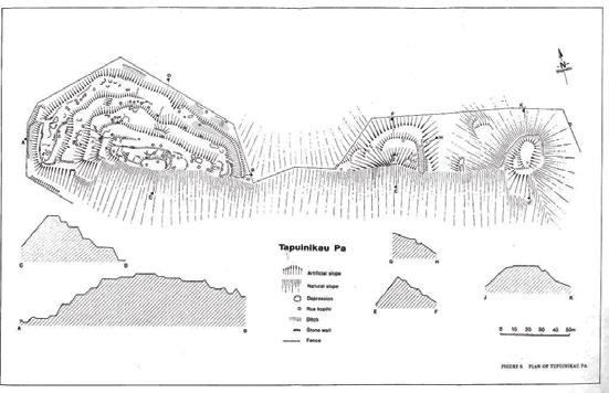
Te Kāhui o Taranaki – 161
Tapuīnikau Pā Historic Reserve
Conservation Values
Topography
Vegetation
High, both historic and natural values. Numerous pits, large settlement, terraces and trenches. Re-generating vegetation is impacting on archaeological values of site.
Knoll on north-western portion, ridge on eastern portion.
Karaka, mixed podocarp, lowland forest, rewarewa, nikau, rangiora, kohekohe.
Key Native Flora Semi-coastal kohekohe forest.
Key Native Fauna Skink Cyclodina aenea present in good numbers (1994).
Animal Pests Mustelids, possums, rodents. Tracking tunnels on site. Taped route to mid-fosse.
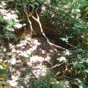
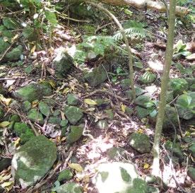
Plants Pests Weeds on fringes.
Boundary/ Fencing
Mostly fenced, needs repairs.
Fire/other threats Fire.
Recreation/ Tourism Facilities
Nil. No walking track evident. Access onto the site not evident. No identification of the site.
Interpretation Nil – previous signs removed.
Other manmade features/ facilities Nil.
Adjoining Land Use Farming.
Grazing Nil.
Licences/ leases
Key Management issues
Subject to unregistered research permits, some under Wildlife Act.
Plant and animal pest control. Fence repairs.
Protection of historic/cultural features versus preserving regrowth.
Date site visit 10th December 2018.
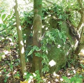
162 – Te Kāhui o Taranaki – Schedule 2 Land Inventory
Tataraimaka Pā Historic Reserve
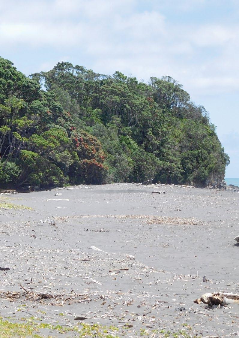
Site Name Tataraimaka Pā Historic Reserve
Legal Description Sect 1 SO 495012 (redoubt and grave site not included)
Size 0.7397
Classification Fee simple, historic reserve, administered as a reserve
DOC Unit No 70554 File ref: LAN 2406
Map Coordinates (point reference) 1676951 5668032
Local Authority New Plymouth District Waahi Taonga No 205
HNZ No 5972
Heritage NZ/NZAA No
NZAA No P19/218, N108/100
Multiple sites in area
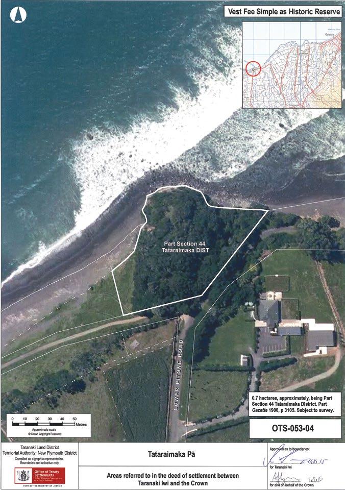
164 – Te Kāhui o Taranaki – Schedule 2 Land Inventory
Tataraimaka Pā Historic Reserve
Description Lahar mound above gravel and sandy beach. Parts of section 24 (Marginal Strips) of the Conservation Act 1987 do not apply.
Access Lower Pitone Road/Greenwood Road.
History/ Cultural Features
Excerpt from the Tataraimaka Pa Historic Reserve Management Plan (DRAFT), Department of Land and Survey, New Plymouth, undated (c. 1982/3).
History:
When Tataraimaka Pa was first occupied by Maori is unknown but by the late eighteenth century it was one of the major pa in the area, which falls within the territory of the Nga Mahanga hapu of the Taranaki tribe.
The fortifications and layout of the pa have been described by Prickett (see Appendix I), who recorded three major living platforms separated by a series of scarps. In places stones have been used to build up the scarps.
The single most important event in the recorded history of the pa was its assault by a northern war party in the early nineteenth century (1818 according to S. Percy Smith). This engagement was noteworthy because the northerners had two muskets in their possession, the first seen in Taranaki, and with them were able to pick off the chiefs defending the pa. After a fight outside the pa, the site was overrun, with much slaughter (see Appendix II).
It is probable that the pa was not re-occupied after it was overrun. In 1847 the Government purchased the Tataraimaka Block from the Maoris, and the pa site became part of one of the farms settled on the Block. It is possible that the Coast Road was cut through the spur between the two parts of the reserve at this time.
However at the start of the First Taranaki Land War in 1860 the settlers at Tataraimaka found themselves in an isolated position and the district was abandoned. The First Taranaki Land War ceased with a truce in 1861, under which the Government agreed to re-examine the validity of the Waitara Purchase, but this re-examination had not been completed when Governor Grey, on his first trip to Taranaki after his appointment, resolved to re-occupy the Tataraimaka Block. This was seen by ~e Maoris as a hostile action, for their attitude was that Tataraimaka would not be given up unless the Government first abandoned the Waitara Purchase.
On 4th April 1863, Government troops marched on to the Tataraimaka Block and began building a redoubt just inland of Tataraimaka Pa. This new initiative, taken one month before the Government abandoned the Waitara Purchase, signalled the start of the Second Taranaki Land War.
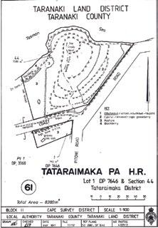
The site of the redoubt, known as Fort St George, is outside the reserve. However the pa site, being a headland and raised above the surrounding countryside, was used by the military as a signalling and observation post and was referred to colloquially as the Crow’s Nest. Some earthworks and tracking associated with this military occupation are thought to have been constructed on the pa site. Two contemporary drawings, by Norbury and by Greenwood, show Fort St George at this time, and can be viewed in the Taranaki Museum.
Fort St George was the base of operations for an attack in June 1863 on a pa situated on the southern side of the Katikara Stream. After the Government troops had taken the pa, the bodies of 24 Maori warriors were brought back to Fort St George, and buried just outside the redoubt. The grave, which is on the reserve, has been covered with a slab of concrete.
Te Kāhui o Taranaki – 165
Tataraimaka Pā Historic Reserve
History/ Cultural Features
After the fighting in the Second Taranaki Land War ceased in 1866, the Tataraimaka Block was reoccupied by the settlers, and the pa site again became part of one of the farms. The Government purchased Tataraimaka Pa for a historic reserve in 1906.
Appendix 1 (Draft Reserve Management Plan):
Extract from N. Prickett (1982) Maori Fortifications of the Tataraimaka District, Taranaki. Records of the Auckland Institute and Museum, 19 : 1-52.
p. 34-6.
Listed by Skinner (1946:64) as one of the three major fortifications of the Tataraimaka district, the pa from which the district takes its name is located on a coastal headland 200m east of the Katikara River mouth. The site is within an historic reserve administered by the Lands and Survey Department. Construction of Pitone Road and of the road cutting which leads to the beach south of the pa may both have involved damage to outer defences. Damage has also been done to successive terrace and scarp defences at the west side of the fortification by a path which runs to the topmost platform. Canopy vegetation is predominantly pohutukawa with some macrocarpa and karaka. Taupata and flax cling to the exposed seacliff. Recent felling of large macrocarpa trees, which formerly dominated the lower terraces, has resulted in a dense growth of poroporo, kawakawa and inkweed.
Natural defences of Tataraimaka consist of a 40m cliff around the north and west sides, to the boulder beach and low-lying ground behind, and a steep slope to the low isthmus which cuts the pa from the extensive terrace country inland. Artificial defences are made up chiefly of a series of scarps, as much as 6-8m high, which cut the promontory from one side to the other. The topmost of these scarps is supplemented by a ditch as is the massive bottom scarp. It seems likely the surviving ditch now adjacent to Pitone Road is the major outer defence, although what has been destroyed here by the road is somewhat problematical. Some defensive banks occur at terrace edges throughout the site. In at least two places large beach boulders have been used to revet short sections of scarp.
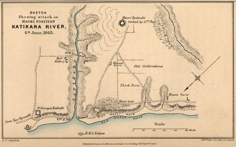
166 – Te Kāhui o Taranaki – Schedule 2 Land Inventory
SKETCH, Showing attack on MAORI POSITION, KATIKARA RIVER, 4th June, 1863. D. J. Gamble. Cited in http://www.enzb.auckland.ac.nz/document/?wid=3419&page=1&action=null#
History/ Cultural Features
Tataraimaka is roughly triangular in shape with surviving defences along the broad landward side approximately 100m long and the depth of the fortification from here to the seaward margin of the topmost terrace between 60 and 80m. The total area of the site is ca. 3500 m2. Living space, however, takes up only a small part of this. The topmost platform is ca. 10-16 x 18m (ca. 200 m2). A single rua is dug into the rear of a shelf at the seaward side. Below the platform two small terraces are cut into the steep seaward faces north and west. The next major living terrace is ca. 16 x 42m in maximum dimensions (ca. 500 m2). The upper part of this terrace dips to the south-east. Two depressions indicate houses. The third major living platform extends for 75m across the full width of the site. It varies between 6 and 10m in width and might be 600 m2 in area, this including an extension on the steep scarp at the western flank of the site.
Two rua survive at the western end of this terrace. The three major living platforms thus total 1300 m2 in area. Other minor terraces and platforms at lower levels may also have been used in part to provide accommodation.
Tataraimaka was taken by a northern taua (war party) which included Nga Puhi, Ngati Whatua, Ngati Toa, Ngati Tama and some Te Atiawa shortly before 1820 (Smith 1910:285-287). It is said that two muskets among the northern party were the first seen in Taranaki. The attackers used the guns to pick off defending chiefs before the pa was stormed. In April 1863 St George’s Redoubt was thrown up by the 57th Regiment on the terrace edge immediately south. The top platform of the older fortification was then modified to accommodate a signal station. An earth bank was raised and it is likely, too, that the ditch outside also dates from this period. The path through the fortification in all likelihood dates from this occupation, and lower terraces may also have been modified for defence and perhaps accommodation. The soldiers called the pa ‘the crow’s nest’.
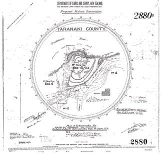
References:
Skinner, W.H. (1946), Reminiscences of a Taranaki Surveyor, Thomas Avery, New Plymouth. 122pp. Smith, S.P. (1910), History and Traditions of the Maoris of the West Coast North Island of New Zealand prior to 1840, Memoirs of the Polynesian Society, Vol 1. Thomas Avery, New Plymouth. 562pp. Appendix I(Draft Reserve Management Plan). Extract from S. Percy Smith (1910): History and Traditions of the Maoris of the West Coast, North Island of New Zealand, Prior to 1840. Memoirs of the Polynesian Society. Vol I. Thomas Avery, New Plymouth. 562 pp. p, 285-6.
(In 1818 a party of Ngati-Toa from Kawhia led by Te Rauparaha, and Ngapuhi from Kaipara led by Tuwhare and Muru-paenga, had been staying at Te Taniwha, east of Waitara, when they were persuaded by Te Puoho of Ngati-Tama to attack the Taranaki tribe).
Te Kāhui o Taranaki – 167
Tataraimaka Pā Historic Reserve
History/ Cultural Features
This was not difficult of accomplishment; Tu-whare Muru-paenga, and Te Rau-paraha were not the men to hold back when there were any hard knocks to be given, and moreover an attack on the Taranaki tribe would result in the acquisition of more fine mats, heads, and slaves. At this time the two latter articles were becoming of much value; the first to barter with the whalers frequenting the Bay of Islands, the latter to prepare flax to exchange for muskets.
The taua, now reinforced by some of the Ati-Awa people, started on their march for the Taranaki country, passing on their way several of the Ati-Awa pas, and soon arrived at Tatara-i-maka (“the garment cast away,” pronounced Tatarai-maka). This place was, and is still, a very strong pa, situated on the sea-coast eleven miles south-west of New Plymouth, and between the mouths of the Kati-kara and Pito-one streams, and which gives its name to the block of land purchased by the Government from the Taranaki tribe, 11th May, 1847. Its high ramparts and deep ditches that defended it on the land side are still in good preservation, and it is to be hoped will remain so, for the pa has been acquired and preserved by the Government under “The Scenery Preservation Act, 1903”. The taua marched on to the attack of this strong place and were met outside by the Taranaki people, and a fight took place, in which the latter people were defeated, and then took shelter in the pa. Mr W.H. Skinner says: ... “Tatara-i-maka was the great fighting pa of these parts, and into it all the inhabitants of the smaller pas in the vicinity had gathered... The possession of a few firearms by the invaders caused them to treat this affair as a pleasant outing, for they felt sure of victory - a hunting excursion, in fact, in search of game, ·on which they subsisted, together with the immense supply of vegetable food (in the shape of kumara, taro, etc.) found in the neighbouring pas scattered over this thickly- peopled district. Tatara-i-maka was stormed with great slaughter, and amongst the slain was Kahu-roro, the chief of the pa, and great numbers were taken prisoners, amongst them Pori-kapa, the afterwards well-known chief of the Nga-Mahanga hapu of Taranaki, who, in later years, dwelt at Kai-hihi. He was then a lad and managed to escape shortly after capture. The prisoners were bound together in couples by flax ropes round their necks, notwithstanding which, during the night, many of them made their escape.” Watene adds these names to the chiefs killed: Wetenga-pito, Parehe, Para-tu-te-rangi, and Tiotio, and further says, “Here was seen the work of the guns of Nga-Puhi. The Maori mode of warfare formerly was hand to hand in close proximity. But here the Nga-Puhi chiefs asked their Ati-Awa allies to point out’ the chiefs when attacking the pa, and then the guns did their work, shooting the men whose names have been mentioned. And then the pa was stormed.”
The people who suffered in this affair were the Nga-Mahanga hapu of Taranaki (and probably other hapus).
Conservation Values
Topography
Vegetation
High – historic/cultural and natural values. Pa. Redoubt and grave site adjacent. First use of firearms in the Taranaki Wars (1820). 1863 British built redoubt and signal station and called it the Crow’s Nest.
Lahar mound adjacent to the coast. Steep eroding seaward side.
Secondary growth pohutukawa, karaka, kawakawa, taupata coastal forest.
Key Native Flora Planted tainui and pohutukawa.
Key Native Fauna Nil. Potential to reintroduce the grey-faced petrel to the site with very robust predator control,predator-proof fencing and visitor management. At the southern limit of the grey-faced petrel range.
Animal Pests Possum, rodents, mustelids.
Plants Pests Boxthorn, gorse.
Boundary/ Fencing Stockproof post and batten on Pa site. New fence to west.
168 – Te Kāhui o Taranaki – Schedule 2 Land Inventory
Fire/other threats
Recreation/ Tourism Facilities
Interpretation
Fire, coastal erosion and encroachment.
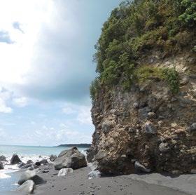
Gate and track to summit. Potential for more interpretation.
Roadside sign. Interpretation panel on redoubt, grave.
Other manmade features/ facilities Road on two boundaries.
Adjoining Land Use
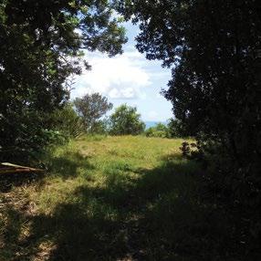
Grazing
Licences/ leases
Key Management issues
Coast, rural residential, farming.
Nil, casual on redoubt site.
Subject to unregistered research permits, some under Wildlife Act.
Animal pest and weed control. Fence repair and maintenance. Interpretation opportunities.
Date site visit 12th December 2018.
Te Kāhui o Taranaki – 169
Te Koru Pā Historic Reserve
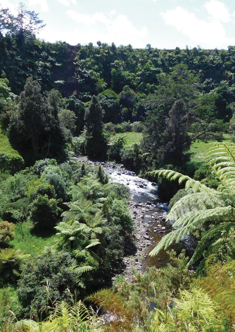
Site Name Te Koru Pā Historic Reserve Legal Description Sect 1 SO 494368 Sect 2 SO 494368 Size 1.7371 0.9670 Classification Fee simple, historic reserve, administered as a reserve DOC Unit No 70548 File ref: LAN 2404 Map Coordinates (point reference) 1685522 5668315 1685649 5668262 Local Authority New Plymouth District Waahi Taonga No 53 Heritage NZ/NZAA No HNZ No 5966 NZAA No P19/53

Te Kāhui o Taranaki – 171
Te Koru Pā Historic Reserve
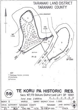
Description Small bush clad hill surrounded on 3 sides by the Oakura River. Flat pasture area to the east.
Excerpt from Eldon Best, The Pa Maori, NZ Dominion Museum, Bulletin No 6, Whitcombe and Tombs, Wellington 1927.
“This old fort is situated on the left bank of the Oakura river, south of New Plymouth, the site being a similar one to that of Okoki, though the saddle connecting the hill with the parent ridge is much lower. The small elongated hill which forms the fort is almost surrounded by the river, and cliffs on both sides have much assisted the folk who planned the defences. That extending from A to D is a sheer cliff for most of its length, and from 16 ft. up to 60 ft. or so in height. It was apparently the outermost defence on that side, the lower area inside B, C being a low alluvial flat but a few feet above the level of the river. This flat was probably a residential area or used as a cultivation ground, its stone faced outer scarps being the confining bank of the river.
The whole area of the fort is covered with a dense growth of light bush, seemingly a younger growth than that of Okoki. It is composed principally of rewarewa, kohe, wharangi, karaka, tawhero, mapau, mahoe, hangehange and Cordyline, with a fine growth of mamaku and Hemitelia tree ferns.
The dense undergrowth renders exploration and measurement a somewhat tedious task, but the plan given affords a fair illustration of the form and defences of this primitive stronghold.
A photograph of Te Koru shows nought but the dense forest growth (see Fig. 54, [below]) among which appear the great fronds of many lofty tree ferns. This view is from the right of the plan. The series of the terraces is a remarkably fine one, escarpments and fosses are well preserved and the place possesses some unusual features. The most remarkable of such features consists of several stone parapets and a number of stone faced scarps of terraces, the aspect of which may be seen in the illustrations. The Maori seldom utilised stone in such works, though some other instances are known in the Auckland area.
The steep bluffs and perpendicular cliffs extending from A through V, D, and F right round to W were of great advantage to the fortifiers of Te Koru. See Fig. 55 , [below]. The land neck from A across to W also lent itself to defence, inasmuch as the summit area marked N lies at a considerable height above the flat land south-east of it, and the fall to that flat is an abrupt one, a feature that naturally lent itself to high and steep escarpments. It will be seen that steep scarps are still in evidence, also that strong defences barred the approach of an attacking force by way of the low and narrow saddle connecting the pa with the high ridge to the south.
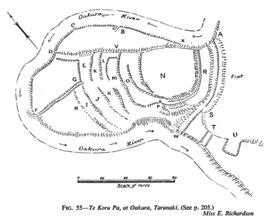
172 – Te Kāhui o Taranaki – Schedule 2 Land Inventory
Description
Not the least interesting item concerning this old fort is the number of food storage pits situated within the defences. These are mostly excavated under the inner scarps of terraces and fosses, thus economising space. They are of the oblate form so often seen on this coast, with dome-shaped upper parts, circular and most symmetrically formed. The entrance passage is at the side of the contracted upper part, and some of these entrance passages are 3 to 4 ft. in depth.
The low lying river flat on the eastern side is enclosed between the X, C, D line that marked X, V, D, the latter line representing a cliff about 60 ft. high at X and decreasing to about 16 ft. towards D. The flat is covered with very dense forest growth. Its outer edge is the river bank that has been protected by a wall of stones, or faced with stones. Under normal conditions the flat is 4 ft. or 5 ft. above the level of the waters of the river, which flow within 20 ft. of the stone faced bank. At B is an entrance passage from the river bed, probably the ford was opposite this opening. This entrance is a sunk way sloping upwards like a block cutting, and is 10 ft. wide. Entering this passage from the river bed we find a short stone wall flanking it on the right, and a scarped face on the left. The outer line of the flat has its bank faced with stones from 6 to 24 inches in diameter, water-worn stones taken from the adjacent river bed. For a considerable distance a stone wall or parapet has been built on the top of the bank, evidently to raise it as an obstruction, for this superimposed wall is seen at places where the original bank was a low one. Occasionally this outer scarp is as much as 9 ft. in height. The interstices between stones of the parapet appear to have been filled with earth. At C the parapet is 5 ft. high.
At D is encountered the end of the cliff extending from A which here runs out on the river bank, decreasing in height from X to D. Ascending this bluff at the D end we find a fine flat terrace bounded by D, F, G and formed by the excavation of the sloping ridge. Extending from D to E area, the latter being an upper terrace, a part of the original formation 9 ft. wide has been left intact along the bluff head. This stands as a wall, the outer steep scarp of which runs from 14 ft. to 18 ft. in height, and the inner or western scarp 4 ft. to 8 ft. From D to F is a steep cliff 20 ft. and upwards in height, which is the continuation of the A, D cliff, and extends right on to W and beyond. The river flows near the base of the D, F bluff. From F to G is a perpendicular scarp of 10 ft. The wall or causeway from D to E area was apparently left unexcavated in order to preserve the defensive advantage of the bluff scarp, for the alluvial flat at the base of the cliff, if a residential area, could only have been a subsidiary one, to be abandoned in the case of a serious attack.
Proceeding round the base of the D, F cliff the explorer encounters a somewhat unusual feature in Maori forts, a graded road about 8 ft. wide leading upward from the water’s edge to give access to the defended area. This was the main entrance to the fort, on entering which it changes its nature and becomes a sunk way or trench, and continues as such from 3 ft. to 5 ft. in depth to G where it enters the scarp of J, E terrace as a narrow excavated passage 8 ft. deep and 4 ft. wide at the bottom. This entrance passage was certainly so excavated for defensive purposes, and would be flanked by parallel lines of stockades, thus persons entering the fort had to pass along a narrow sunk lane a few feet wide, and at the mercy of any force stationed behind stockades on superior heights at either side. This scheme of defended entrance passage is a most ingenious one. Some similar defence undoubtedly existed higher up the ridge where access was gained to K and M terraces, but no sign of a passage exists from M to O terrace, of which more anon.
The H terrace is another flattened area showing a steep river bluff on the western side, and a stone wall, or rather a stone faced scarp, 5 ft. in height and nearly perpendicular dividing it from terrace I. H area lies at a lower level than that on the northern side of the entrance passage.
Terrace I is from 12 ft. to 20 ft. in width, the southern end of which has an outer wall or parapet 4 ft. high. The inner scarp is 15 ft. in height and is partially stone faced. This terrace terminates on the cliff head, the river being 30 ft. below. A small trench or sunk way seems to have been made down to the river, the upper part of which is also partially stone faced. All these terraces have been excavated out of the slopes of the ridge.
Te Kāhui o Taranaki – 173
Te Koru Pā Historic Reserve
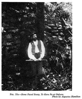
Description
Returning to the passage at G, the ascent to terrace E, J is through the narrow sunk way or trench some 30 ft. in length, the sides of which are partly built up with stones. The end of this terrace over-looks the river flat and along that brink runs a stone faced parapet now 3 ft. in height, outside of which is the steep bluff, here about 16 ft. in height. The terrace is here 40 ft. wide, narrowing to 30 ft. opposite G. Its interior scarp is 8 ft. high and stone faced in some parts. South of the entrance passage this terrace is continued at a somewhat lower level, and 30 ft. to 40 ft. wide, curving round the ridge to end at the river bluff, here about 40 ft. high. The full length of this terrace from bluff to bluff is about 80 yds. Its inner scarp is 8 ft. to 9 ft. high and faced with large stones in some parts. Near the southern end an incurved recess seems to represent a former mode of access to K terrace, the trench being now occupied by two large tree ferns. See Fig. 56. [below]. Along this terrace storage pits are noted.
Returning to the open space opposite G a sloping approach leads up to terrace K, which is 5 yds. to 8 yds. wide at this end, with an inner scarp of 4 ft. showing stone facing and with 7 or 8 storage pits. As we proceed this terrace widens out, then rises and narrows to run into terrace M above. Its inner scarp is 4 ft. to 8 ft. high and faced with stone to some extent.
The small terrace L is not continued south of the entrance way. It is 12 ft. to 30 ft. wide and 21 yds. long, and it has been excavated round the bluff head with a width of 20 ft. so as to block the approach of terrace M to the cliff, a curious formation.
Ascending to terrace M, along which are seen many storage pits, the northern end is found to be 30 ft. wide. Further on it narrows a little, and presents a steep inner scarp 17 ft. high. It is 50 yds. long from its abrupt end at the incurve of L terrace to the point where K terrace joins it. It then rises and swings round the hill curve to end at the high river cliff. At P is a narrow sunk way 4 ft. wide and 5 ft. deep connecting this terrace with one above it. The sides of this sunk way or passage are built up with stones. All these stone faced walls and scarps are well constructed and form an uncommon feature in native works. The illustrations show their appearance. See Figs. 55a , 56 , [above].
The narrow trench-like passages here noted that give access from one terrace to another would probably not interfere with the stockades that extended along the outer scarp of each terrace, but would pass underneath the palisades, and such narrow trenches could be some system of bars.
The sloping approach up the slope from G to M would undoubtedly have defences across it at each terrace level, but it ceases at M terrace, the inner scarp of which is here 15 ft. high and almost vertical. No sign of a passage giving access to O terrace is seen save at the subway above mentioned, where the scarp is much lower than at its northern end.
Terrace O commences at the high perpendicular cliff with a width of 40 ft. but soon divides into two terraces. The lower one of these is from 20 ft. to 35 ft. wide and 43 yds. long to where it connects with an upper terrace, as shown. The upper branch of O terrace begins with a width of 30 ft. with an eroded inner scarp of 4 ft. to 5 ft. Advancing 17 yds. one notes an old entrance to N area, and 10 yds. further on this terrace practically runs out into N which is the tihi or summit area, the highest part of the fort.
174 – Te Kāhui o Taranaki – Schedule 2 Land Inventory
Description
The N area is a level expanse about 40 yds. by 45 yds. in extent and the vertical cliff on the north-east side is probably 70 ft. in height, an admirable defence. The abrupt end of the ridge between A and S has been strongly fortified. Between terrace R and the summit area N rises an almost perpendicular scarp 17 ft. in height, at the immediate base of which runs a narrow trench 3^ ft. to 4 ft. wide in its narrowest parts, 6 ft. at the cliff head, and widening at its western end. It is 5 to 6 ft. deep now and contains a certain depth of detrital material. This moat increases the depth of the scarp to about 22 ft. Why this trench should be so narrow for some distance it is hard to say, for such an aspect is unusual in a native fort; it resembles a European rifle-pit. Under the high inner scarp are seen storage pits. For 30 yds. from the cliff head the trench curves round the scarp base, and further on widens out to 10 ft. and the flat terrace R resolves itself into an earthen wall 8 ft. high, evidently a part of the original formation left intact. About 50 ft. further on the outer wall ends and a terrace extends onward to the summit of a high cliff at the base of which runs the river, and in this vicinity we meet with the series of terraces already described. The A, V, D line is the only face of the fort that does not carry terraces, being a rock cliff.
R is a levelled terrace area 8 yds. in width, the outer scarp of which is an almost perpendicular drop of 16 ft.; a formidable defence. At the base of this barrier is a fosse 6 ft. wide across the bottom and 9 ft. at the top; outer scarp 5 ft. high. This fosse runs from the summit of the cliff, where the height of the latter has dropped to about 30 ft. to the south-west. It slopes upward for 14 yds., and at 75 yds. it widens to 14 ft. bottom width, with an outer scarp of 9 ft., and inner one of 25 ft. At 105 yds. it runs out at the cliff head at W 40 ft. or so above the river. At 25 ft. from the end this fosse is 20 ft. wide at the bottom, outer scarp 11 ft.; inner one 24 ft. This is where it passes through the spur that connects the fort with a high ridge to the south. The huge fosse near W, with the other above it described elsewhere, and that at T, are the defences made to baffle the approach of enemies along this spur. The rapid fall of the spur to the low saddle at T much facilitated the fortifying of this feature.
On the outer side of the A, S fosse is a level area 10 ft. wide and upwards, with an outer scarp of 10 ft. down to the level of the flat. This rampart is the outermost defence. These scarps, when supplemented with stockades, must have been defences practically impassable in pre-gun days.
Passing down the spur from the W fosse, the fosse T is found to be at the low saddle where the spur is only about 16 yds. wide. The sides of the spur have been steeply scarped and would be stockaded along each brow as a security against flank attacks. The T fosse across the low saddle is 12 ft. deep and 10 ft. wide at the bottom, the scarps being steep. From this fosse the spur rises to connect with the high ridge to the south. A little distance up this spur is a huge excavation at U carried half way across the spur. This may be an unfinished fosse or it may have been so designed to lessen the space to be defended. The excavation has been carried in about 35 ft., is 30 ft. wide and 8 to 10 ft. deep. On the western side of this spur is the precipitous river bluff. A path evidently ran from the fort up this spur, and 50 yds above the U excavation is a fosse 20 ft. wide and 12 ft. deep cut across the spur. It is about 25 ft. long and at its eastern end is not cut through the ridge, but a block 6 ft. wide of the original formation has been left as a causeway. This spur must have possessed flank defences of stockading. This was apparently the outermost defence here and 40 yds. further up the spur reaches a small plateau.
On the low flat east of the spur are signs of former native occupation.
It is satisfactory to note that Te Koru has been protected by means of a fence across the base of the point, and also that the dense growth of bush covering it will tend to prevent erosion of the scarps. The stone walls and stone faced escarpments present a very interesting feature well worthy of preservation.
Some interesting notes on this old fort may be found at p. 258 of The History and Traditions of the Taranaki Coast.
Te Kāhui o Taranaki – 175
Te Koru Pā Historic Reserve
Description In writing of the Koru pa , at Taranaki, Mr. W. H. Skinner remarks:—”This pa probably takes its name from koru , a bend, loop or fold, as it is built on a deep bend of the Oakura river. Koru is unique amongst old Maori strongholds in the Taranaki district, in the kind of protective works adopted; the walls are all built up with rubble work, the stones for which were obtained from the bed of the Oakura which flows immediately beneath. These stone walls, or rather walls faced with stone, run up in some places to a height of 15 ft., and all the minor outworks are faced with stone in the same manner.”
Another item of local interest is the old military redoubt at the village of Oakura. This relic of the troublous days of the Maori war against Europeans in the ‘sixties’ of last century is gradualy becoming effaced. It was evidently a strong place, the earthworks being of a massive type. The fosse or moat outside the ramparts is about 65 yds. long on each face of the square redoubt, its inner scarp 18 ft. in some parts, and outer one 8 to 13 ft. where fairly intact. Earthwork bastions project 10 or 12 ft. at each corner, each of which commands two curtains. The banquette inside the wall is 3 ft. above the level of the interior area, which latter is about 30 yds. square. The banquette is retained by lengths of tree fern trunks inserted in the earth. There seem to be the foundations of small block houses in the bastions.”
NZ Electronic Text Collection; Victoria University of Wellington; Te Puhikotuhi o Aeteoroa
https://viewer.waireto.victoria.ac.nz/client/viewer/IE398713/rep/REP399296/FL399298/t1/t1-body-d5-d1d10?dps_dvs=1543176041345~764
Parts of section 24 (Marginal Strips) of the Conservation Act 1987 do not apply.
Access
History/ Cultural Features
At the end of Surrey Hill Road, formed legal road, needs clear marking. Walk of 1 kilometre downhill and across farmland.
From Te Koru Pa Historic Reserve Management Plan DRAFT, Department of Lands and Survey, New Plymouth, 1983.
“When Te Koru Pa was first occupied is unknown, but by the late seventeenth century it had become a major pa of the area, occupied by Nga Mahanga hapu of the Taranaki tribe.
The known history of the pa is relatively sparse, the most significant event being its capture by a Te Atiawa war party in the early eighteenth century. It is likely that the pa was abandoned after this battle, for by 1910 it is described as being covered with a dense growth of native shrubs (see Appendix I). While the oral history may have been lost, the archaeological features are well preserved, and point to a large highly organised pa, with numerous living platforms on terraces at different levels, and numerous food storage pits. A significant feature of the site is that many of the terrace scarps have been strengthened with river boulders. Although this method of defensive construction is known elsewhere in New Zealand, nowhere is as elaborate, extensive or well constructed as at Te Koru Pa (see Appendix II).” [and excerpt from Best above]
“A further pointer to the importance of the pa was the discovery on the site in 1898 of a large wooden door lintel, which must have come from a substantial building. This carving is now in the Taranaki Museum.
From the archaeological point of view, this site is one of the most important in New Zealand, because of its large size in relatively undisturbed condition and because of the methods of defensive construction employed.”
APPENDIX I
Extract from S. Percy Smith (1910): History and Traditions of the Maoris of the West Coast, North Island of New Zealand, Prior to 1840. Memoirs of the Polynesian Society, Vol I. Thomas Avery, New Plymouth 562pp. p258-9.
“This pa probably takes its name from koru, a bend or fold, as it is built on a deep bend of the Oakura river, just below the present township of Koru, which is named after the pa. It is situated about nine miles south of New Plymouth, and is a favourite resort for picnics at the present time. The old fort is approached by crossing a most picturesque suspension bridge, which spans the rocky bed of the Oakura beneath the wooded slopes of the now deserted stronghold. The whole of the pa and its outworks are now covered with a dense growth of karaka, rewarewa, ngaio, and other native shrubs,
176 – Te Kāhui o Taranaki – Schedule 2 Land Inventory
History/ Cultural Features
and on my last visit was in an almost perfect state of preservation, excepting, of course, the palisading which has decayed. Koru is unique amongst old Maori strongholds in the Taranaki district, in the kind of protective works adopted; some of the walls are built up with rubble work, the stones for which were obtained from the bed of the Oakura, which flows immediately beneath. These stone walls - or rather walls faced with stone - run up in some places to a height of fifteen feet, and all the minor outworks are faced with stone in the same manner.
(At the beginning of the nineteenth century) the people of Rewarewa, combined with those of the great Puketapu pa of the same Ati-Awa tribe - in all from eight hundred to one thousand warriors - ... made a raid on the Taranaki tribe, attacking and capturing the then celebrated fighting pa of Koru... Tu-makuru. and Mona were chiefs of the Koru pa at this time. In this affair the former is said to have killed two AtiAwas with one thrust of his tao,’ or double-pointed spear, or by a right-and-left thrust. Tu-makuru made good his escape, but Mona was killed in a hand-to-hand fight by” the taiaha of one of the Ati-Awas.”
APPENDIX II
Extract from N. Prickett (1980): Maori Fortifications of the Omata and Oakura Districts, Taranaki. Records of the Auckland Institute Museum, 17:1-48 p33-36.
Like many smaller pa of the survey area, Koru occupies a site low on a spur, without any command of the surrounding countryside. Use has been made of a steep sided knoll at the end of a spur which rises to higher ground to the south, ultimately to the Kaitake Ranges. Natural defence consists of steep scarps to the river on both sides of the pa with a steep but greatly modified scarp to a small river flat on the south-east side. The north end of the peninsula falls to the river level and has required some assistance from artificial defences. The Oakura River itself, with its rough bed of large rounded boulders completely commanded from within the pa, adds considerably to the natural defence.
Artificial defences may be discussed in two sections: the massive ditch and bank works of the landward south and south-east side, and the successive scarp and terrace defence of the approach up the pa from the vulnerable north end. This is supplemented by a third ditch on the rising spur circa 40 m south of the outer of the two major ditches. Considerable damage has been done to this ditch in the course of preparation of the present fence line; what remains suggests a ditch 8 m across and 3 m deep. Best (1975:213) states that originally it did not quite cut the spur.
Across the narrow spur the major defence takes the form of two massive ditches 4-5 m deep and circa 5 m across at the bottom. With the intervening bank the width of these defences is circa 25 m, with a further 50 m up the spur, to the outer rim of the third transverse ditch. Just outside the major defence is a terrace or open pit cut 2.5-3 m into the spur and measuring 9 x 7 m in plan. The outer of the two main ditches cuts la m through the spur before turning to extend circa 12 m outside the inner ditch and bank. A further slight depression may relate to a former continuation of this ditch. The inner ditch cuts only 5 m across the spur before turning to extend almost 75 m across the rear of the pa to the river at the upstream end of the site. The outer bank here presents a 4 m high obstacle to an attacking party while the counterscarp into the ditch is up to 2 m in height.
From the main ditch which cuts through the isthmus at the rear of the site a scarp rises 6 m to a platform 6 m wide at the rear of which is another ditch below yet another abrupt 5 m scarp to the top platform or tihi. The inner ditch in this part of the defences extends circa 40 m from the upstream cliff to the river, across the rear of the tihi, before cutting through the site to isolate a secondary triangular platform. Present site access which turns the south-west end of this defence from the main ditch probably reflects an original entrance to the pa since a notable internal access way runs out to this point.
Te Kāhui o Taranaki – 177
Te Koru Pā Historic Reserve
History/ Cultural Features
For most of the long circumference of Koru there is no ditch, instead use is made of the high natural scarp to the river as the main defence. At the upstream end of the site the uppermost platform drops directly circa 20 m into the river bed. The scarp to the river becomes progressively lower below this platform. On the west side the scarp again diminishes in height down the successive terraces of the pa. While the rough river bed itself gave some security, yet the low north end of the pa did offer problems for successful defence. The scarp to the river is only 3-5 m high here. For some of the rim of the major terrace in this part of the site there is a slight bank to add to defence. Along the eastern side of this terrace is a steep sided bank almost 40 m in length which is 1-3 m high on the internal (south-west) side and 4-6m high on the outer (north-east) side. Outside this bank a large area, little higher than the river bed, is enclosed by a remarkable wall stone faced on both sides, which is between one and two metres high and circa 2 m across. This may have been designed for both flood control and defence.
The numerous high scarps within the pa doubtless offered effective secondary defence to any breach of the comparatively weak defences of the low riverside scarps and terraces of the north end. As many as five successive major scarps, sometimes 5 m in height, would each have presented formidable obstacles to an attacking party that gained possession of the lowest terraces. Koru occupies a total area of circa 160 x 60 m - approximately 10,000 m2. The area within the major external defences is a little more than 7000 m2 although massive internal scarps make the actual living area somewhat less. within the defences Koru consists of a series of major terraces dropping away to the north-west. The highest of these is a triangular platform of circa 1000 m2 which is divided in two by a scarp of circa 1 m height. Scattered over this tihi are more than 30 rua and several rectangular depressions suggestive of house floors, one of which has in the centre a stone-lined hearth of four river boulders. Below are three major terraces which extend the width of the site. At the bottom is a further major terrace of circa 1250 m2. East of this, over the unusual defensive wall, is a similar area of somewhat broken ground little higher than the river bed.
At the north-west corner of the pa is a well graded track which runs up from the river, through the scarp, and across the large bottom terrace to cut through the scarp to the next terrace. A path then runs directly up through successive terraces to the tihi. This is presumably the major routeway through the fortified settlement, and for the uppermost platforms it is the only access. Other routes through individual scarps are scattered throughout the site.
It is possible now to count over 80 rua on Koru. Doubtless many more are covered by erosion from the steep scarps, especially as a characteristic location at this site is at the rear of terraces. Some pairs of rua are connected underground. Many rua entrances are in excellent condition having been subject to almost no erosion since abandonment of the site - such entrances are as little as 40 cm square. Rua are scattered throughout the site, occurring even at the base of defensive ditches of the southeast side where those now visible almost certainly reflect a greater number now buried. The preferred location of rua at the rear of terraces left the major part of a terrace free for surface buildings while it added to the strength of the pit by the depth of naturally compacted soil above.
Perhaps the most remarkable features of Kou are the scarps revetted by round river boulders which occur throughout the site. This method of maintaining steep scarps in the light volcanic soils is known elsewhere in Taranaki, for example at Ngaweka on the south bank of Stoney River and Tapuīnikau on the Teikaparua River, but nowhere is ·the work as spectacular as at Koru. It is, however, likely that the stone revetments have suffered some erosion over the years as the 3 m height of such walls depicted by Best (1975:210-211) cannot be found today. Smith (1910:258) mentions such walls up to 15 feet (4.5 m) high. The greatest height of such work to have survived is about 2 m; debris at the foot of higher scarps locates Best’s illustrations. The stone revetment is mostly used simply to face scarps; in places, however, it is used to face defensive walls (notably on the riverbank at the north end of the site), and to hold the sides of sunken pathways.
Best E (1975): The Pa Maori. 2nd edition Government Printer Wellington 459pp. Smith S.P. (1910) History and Traditions of the Maoris of the West Coast, North Island of New Zealand, Prior to 1840.
178 – Te Kāhui o Taranaki – Schedule 2 Land Inventory
History/ Cultural Features
Memoirs of the Polynesian Society. Vol I Thomas Avery, New Plymouth
562 pp.” Best E (1975): The Pa Maori. 2nd edition Government Printer Wellington 459pp. Smith S.P. (1910) History and Traditions of the Maoris of the West Coast, North Island of New Zealand, Prior to 1840. Memoirs of the Polynesian Society.
Vol I Thomas Avery, New Plymouth 562 pp.”
Conservation Values
High conservation values for both the reforestation of the site, plus the historic and archaeological values, with the reforestation and protection of the archaeological features in conflict.
Topography Knoll surround by river on three sides.
Vegetation
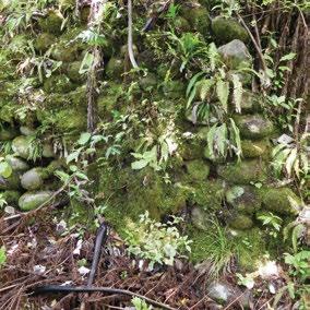
Rewarewa, mamaku, kohekohe, karaka on pa site. Adjacent flat pasture, some riverbank rewarewa, mahoe, pukatea, and hinua.

Key Native Flora Secondary growth of native plants.
Key Native Fauna Unknown.
Animal Pests Rodents, mustelids, possums, rabbits.
Plants Pests
Boundary/ Fencing
Weeds on fringe of secondary growth, plus river flats/banks. Management of pasture.
Post and stockproof on pa site and around river flat. Will require maintenance.
Fire/other threats Fire.
Recreation/ Tourism Facilities
Stile, walking track with markers and picnic tables. Foot track and steps on pa site.
Interpretation
Panel at entrance to pa site, which requires replacement (delaminating). Originally three interp signs on site (walls, rua, whare/fireplace – rua sign now missing). Included in North Taranaki booklet. Substantial opportunities given the history, archaeology and physical aspects of the site.
Te Kāhui o Taranaki – 179
Te Koru Pā Historic Reserve
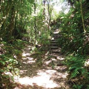
Other manmade features/ facilities Stile and sorting gate.
Adjoining Land Use
Rural residential, farming.
Grazing Yes.
Licences/ leases
Subject to unregistered research permits, some under Wildlife Act.
Protection and preservation of the archaeological features.
Key Management issues
Fencing. Access – seal road and move carpark onto site. Visitor management around site. Adequate interpretation.Pest management.
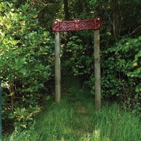
Date site visit 7th December 2018.
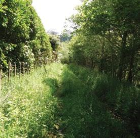
180 – Te Kāhui o Taranaki – Schedule 2 Land Inventory
Waireka Historic Reserve (Sutton Road site A)
Site Name Waireka Historic Reserve (Sutton Road site A)
Legal Description Sect 2 SO 495010
Size 1.7600
Classification Fee simple, historic reserve, administered as a reserve
DOC Unit No Part 70407
Map Coordinates (point reference) 1686224 5673071 1687021 5673412
Local Authority New Plymouth District Waahi Taonga No 76
Heritage NZ/NZAA No NZAA P19/266. No P19/87, P19/89 and P19/91 adjacent.
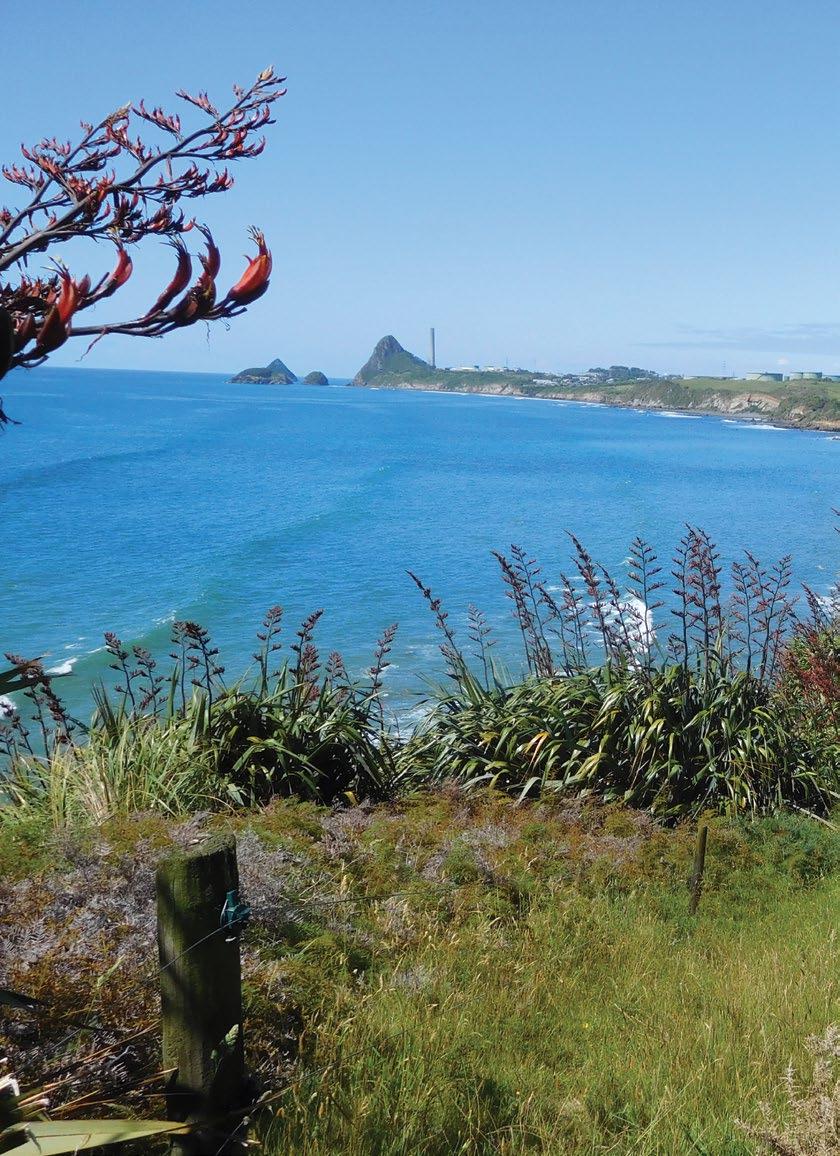
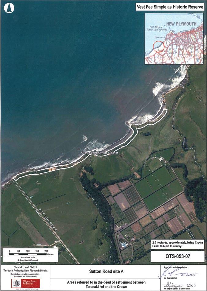
182 – Te Kāhui o Taranaki – Schedule 2 Land Inventory
Waireka Historic Reserve (Sutton Road site A)
Description
Coastal strip along Tasman Sea. Parts of section 24 (Marginal Strips) of the Conservation Act 1987 do not apply.
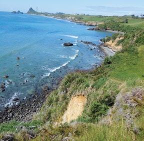
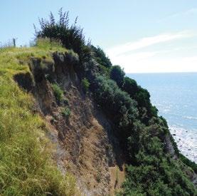
Access
Sutton Road – formed legal road follows farm track directly to the sea, although access here needs to be restricted to pest management work, as cliffs are very steep and eroding – no visitor access recommended. Alternate access is along coast at the base of the cliffs –beware of tide and slips.
History/ Cultural Features
Omata was a Taranaki Iwi village marked on F A Carrington’s 1848 map of the district. Nga Mahanga and Ngati Tairi occupied this village when the sale of Omata Block was transacted on 9th September 1847. It is believed that following the sale of the Omata Block people left Omata kainga and reestablished themselves at Ratapihipihi.
Adjoining Land Use Coast and farming.
Grazing On farmland at top of cliffs.
Licences/ leases Subject to unregistered research permits, some under Wildlife Act.
Key Management issues Coastal encroachment and erosion. Pest management.
Date site visit 12th December 2018.
Conservation Values
High – coastal vegetation.
Topography Steep coastal cliffs.
Vegetation Coastal shrubs and bush.
Key Native Flora Coastal herbs.
Key Native Fauna Petrel burrow sites.
Animal Pests Rabbits, rodents, mustelids, possums.
Plants Pests Boxthorn.
Boundary/ Fencing 2-wire electric at the top of cliff – does not follow boundary.
Fire/other threats
Coastal erosion.
Recreation/ Tourism Facilities Nil.
Interpretation Nil.
Other manmade features/ facilities Nil.
Te Kāhui o Taranaki – 183
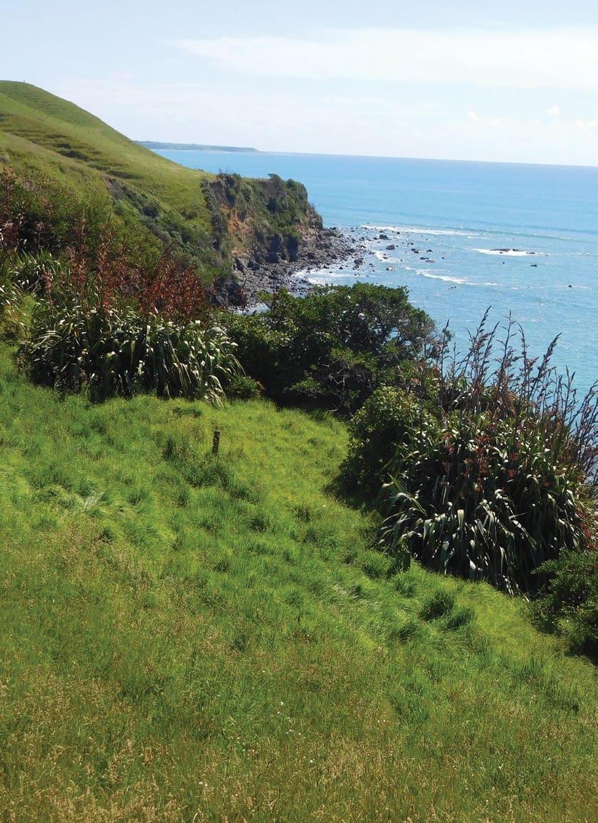
Site Name Waireka Local Purpose (Foreshore) Reserve (Sutton Road site B) Legal Description Sect 1 SO 495010 Size 0.6330 Classification Fee simple, local purpose (foreshore) reserve, administered as a reserve DOC Unit No Part 70407 Map Coordinates (point reference) 1686201 5673054 1685933 5672902 Local Authority New Plymouth District Heritage NZ/NZAA No Nil. NZAA site P19/147 200m west. P19/267 85m inland
Waireka Local Purpose (Foreshore) Reserve (Sutton Road site B)
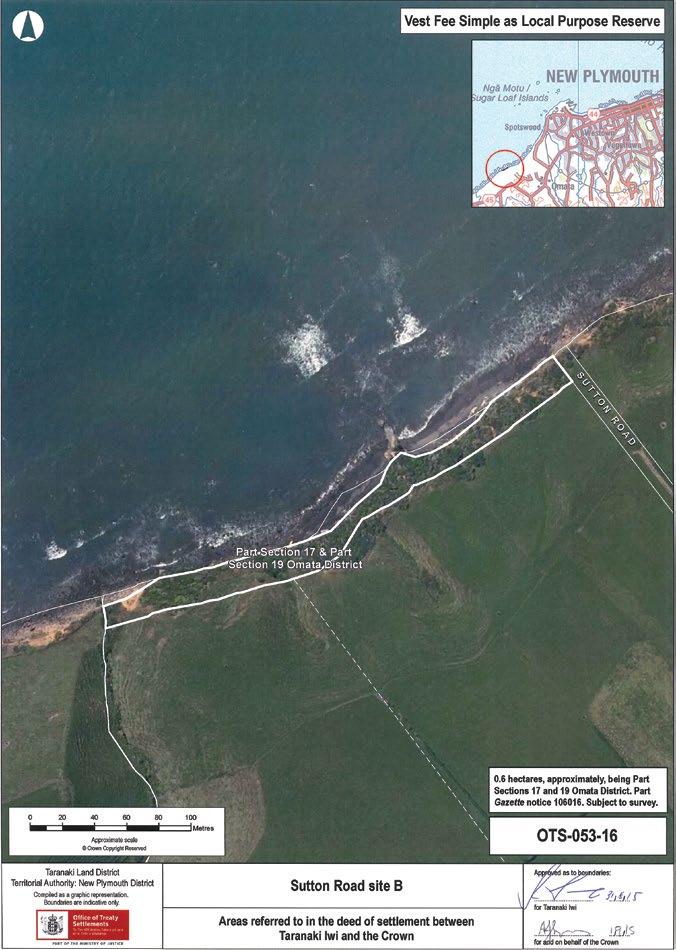
Te Kāhui o Taranaki – 185
Waireka Local Purpose (Foreshore) Reserve (Sutton Road site B)
Description Coastal strip along Tasman Sea.
Access
Sutton Road – formed legal road follows farm track directly to the sea, although access here needs to be restricted to pest management work, as cliffs are very steep and eroding – no visitor access recommended. Alternate access is along coast at the base of the cliffs –beware of tide and slips.
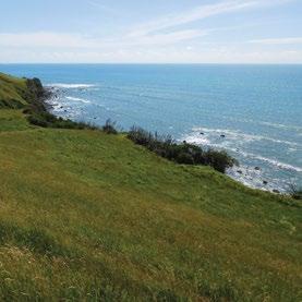
History/ Cultural Features
Omata was a Taranaki Iwi village marked on F A Carrington’s 1848 map of the district. Nga Mahanga and Ngati Tairi occupied this village when the sale of Omata Block was transacted on 9th September 1847. It is believed that following the sale of the Omata Block people left Omata kainga and reestablished themselves at Ratapihipihi.
Adjoining Land Use Coast and farming.
Grazing On farmland at top of cliffs.
Licences/ leases Subject to unregistered research permits, some under Wildlife Act.
Key Management issues Coastal encroachment and erosion. Pest management.
Date site visit 12th December 2018.
Conservation Values
Topography
High – coastal vegetation.
Steep coastal cliffs.
Vegetation Coastal shrubs and bush.
Key Native Flora Coastal herbs.
Key Native Fauna Petrel burrow sites.
Animal Pests Rabbits, rodents, mustelids, possums. Plants Pests Boxthorn.
Boundary/ Fencing 2-wire electric at the top of cliff – does not follow boundary.
Fire/other threats
Coastal erosion.
Recreation/ Tourism Facilities Nil.
Interpretation Nil.
Other manmade features/ facilities Nil.
186 – Te Kāhui o Taranaki – Schedule 2 Land Inventory
Warea site A
Site Name Warea site A
Legal Description Sect 23 Block IV Cape Survey District
Size 0.5236
Classification Fee simple
DOC Unit No -
Map Coordinates (point reference) 1670634 5658854
Local Authority South Taranaki District
Heritage NZ/NZAA No Nil. NZAA site P19/58 and P19/59 500m and 700m due east respectively
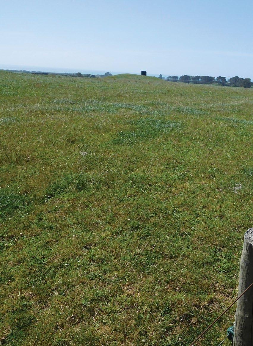
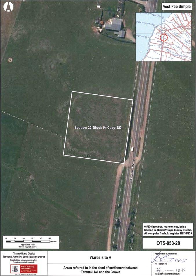
188 – Te Kāhui o Taranaki – Schedule 2 Land Inventory
Warea site A
Description Elevated paddock.
Access On South Road, just south of 7067 South Road.
History/ Cultural Features Unknown.
Conservation Values Low.
Topography Flat hill, farmland.
Vegetation Grasses.
Key Native Flora Nil.
Key Native Fauna Nil.
Animal Pests Rabbits, hares.
Plants Pests Weeds.
Boundary/ Fencing On road and south boundary, not on north or east boundary.
Fire/other threats Nil.
Recreation/ Tourism Facilities Nil.
Interpretation Nil.
Other manmade features/ facilities Nil.
Adjoining Land Use Farming.
Grazing Yes.
Licences/ leases Nil.
Key Management issues
Fencing. Grazing. Pest management
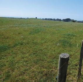
Date site visit 10th December 2018.
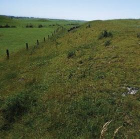
Te Kāhui o Taranaki – 189
Warea site B
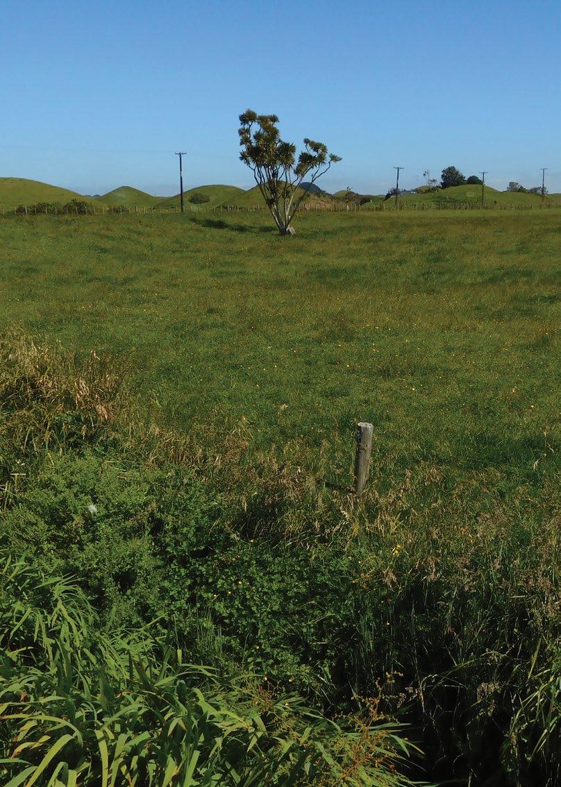
Site Name Warea site B Legal Description Sect 1 SO 494413 Size 0.5659 Classification Fee simple DOC Unit NoMap Coordinates (point reference) 1670369 5656912 Local Authority South Taranaki District Heritage NZ/NZAA No Nil. NZAA sites P20/1 and P20/2 350m north.
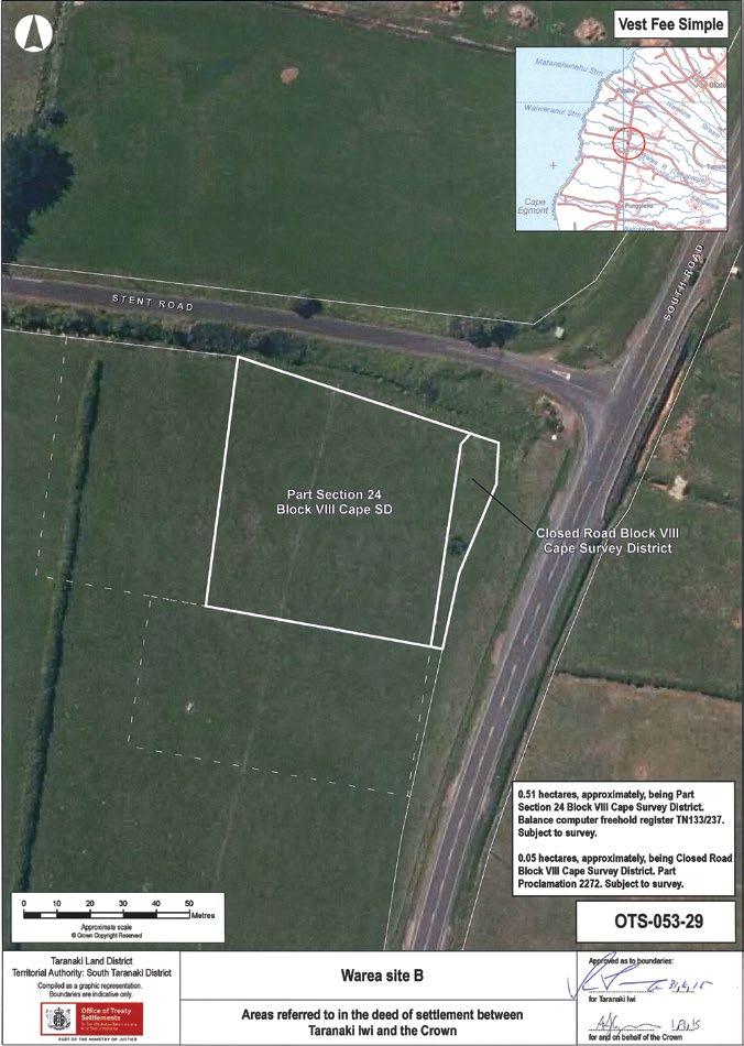
Te Kāhui o Taranaki – 191
Warea site B
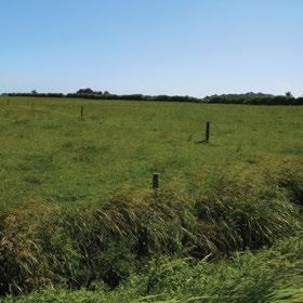
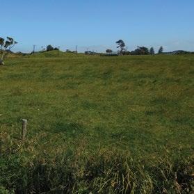
Description Flat paddock on road junction.
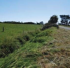
Access Corner South Road and Stent Road, south side.
History/ Cultural Features Unknown.
Conservation Values Low.
Topography Flat farmland.
Vegetation Grasses.
Key Native Flora Nil.
Key Native Fauna Nil.
Animal Pests Rabbits, hares.
Plants Pests Weeds.
Boundary/ Fencing Not on boundary.
Fire/other threats Nil.
Recreation/ Tourism Facilities
Nil. Location on the corner of Stent Road and its relationship to surfing and coastal recreation may provide opportunities.
Interpretation Nil.
Other manmade features/ facilities Nil.
Adjoining Land Use Farming.
Grazing Yes. Licences/ leases Nil.
Key Management issues Fencing. Pest management.
Date site visit 10th December 2018.
192 – Te Kāhui o Taranaki – Schedule 2 Land Inventory
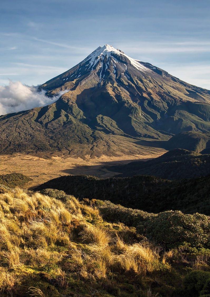


This document is printed on an environmentally responsible paper, produced using FSC® certified 100% Post Consumer Recycled, Process Chlorine Free (PCF) pulp from Responsible Sources. Manufactured under the strict ISO14001 Environmental Management System, and carries the internationally recognised Blue Angel, Nordic Swan, Austrian Environmental Label & the NAPM Recycled Mark.
