West Hobart LAMP 2024

Making West Hobart a great place to walk and ride


Making West Hobart a great place to walk and ride
In recognition of the deep history and culture of nipaluna (Hobart), we acknowledge the palawa (Tasmanian Aboriginal people), their elders past and present as the Traditional Custodians of the skies, land and waterways of lutruwita (Tasmania). We recognise that palawa have made journeys across lutruwita and nipaluna for many thousands of years. We acknowledge the determination and resilience of the palawa people who have survived invasion and dispossession and continue to maintain their identity, culture and rights.
We also acknowledge all Aboriginal and Torres Strait Islander people who live on the country of the palawa, here in nipaluna (Hobart), lutruwita Tasmania.

The Local Area Mobility Plan (LAMP) for West Hobart aims to enhance the liveability and connectivity of our community.
This plan focuses on creating a safer, more enjoyable environment for everyone to walk and ride, making it easier for children to get to school, residents to access local shops and public transport, and all of us to exercise, socialise and reduce our carbon footprint.
West Hobart and Mount Stuart have many streets and paths that, with targeted improvements, could better serve our community by offering more comfortable and enjoyable connections locally and into Hobart.
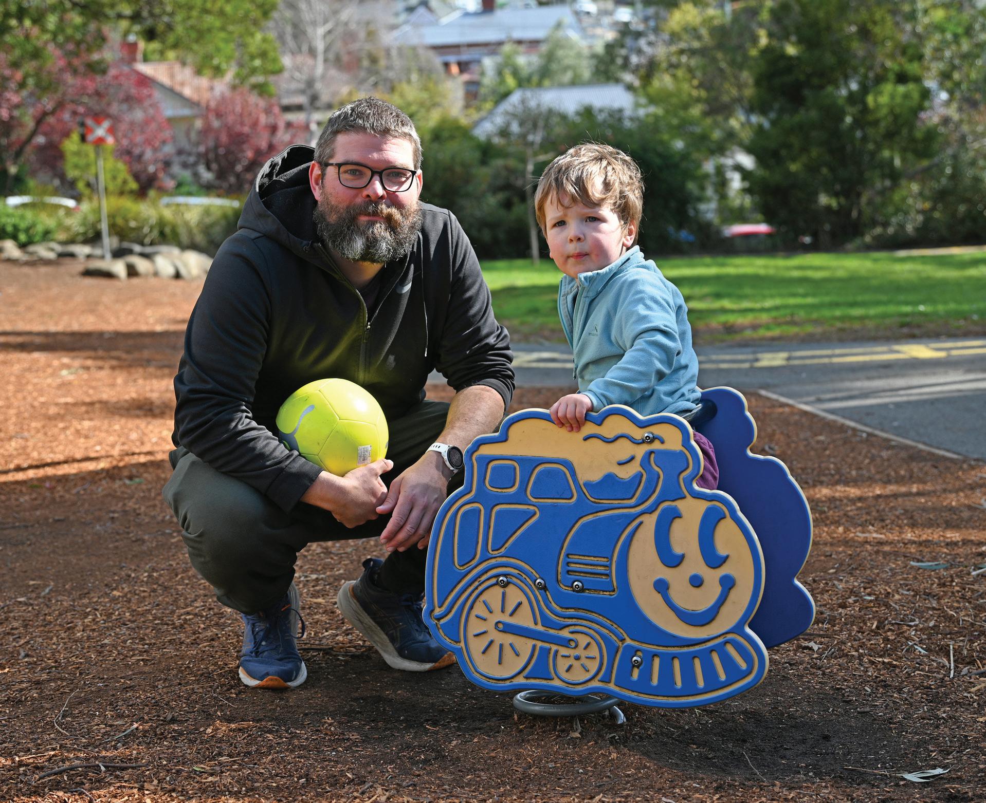
Primary opportunities to transform West Hobart into an area where walking and riding are safe, easy and appealing. The plan prioritises:
• improved local access to schools
• safer vehicle speeds on quieter streets
• direct, connected and comfortable places to walk and ride.
Targeted actions to improve streetscapes throughout the area, under the following action ‘types’:
By implementing these actions, we aim to reduce residents’ reliance on private motor vehicles, offering greater choice in how we move around. These improvements will not only enhance the attractiveness of our streets but also support more equitable access through universal design upgrades, contributing to a reduction in car use within the neighbourhood.
Walking and cycling, often referred to as ‘active transport’, offer numerous benefits. They enable better health for everyone in our community, foster social connections, reduce traffic congestion and improve air quality.
Around one in three residents of Hobart can’t drive because they’re too young, too old or living with a disability, while others can’t afford a car or don’t have a driver’s licence1. As a result, nearly one in ten households do not own a car. These residents face limited access to essential services, educational opportunities, and employment prospects, restricting their ability to connect with family, friends and the community.
For those who can drive, the cost of car ownership consumes nearly 20 per cent of household income in Hobart: about $430 a week to cover vehicle purchase or leasing costs, and ongoing costs such as petrol, maintenance and insurance. Residents of Hobart pay a higher proportion of household incomes on transport than

the national average, and the highest proportion of any capital city in Australia.2
Providing more opportunities to replace short car trips with active transport is one of the most effective ways to reduce our transport costs. It also lowers emissions, and when people walk and cycle they get incidental exercise and can enjoy healthier, longer lives.
For example, walking saves the economy about $6.85 for every kilometre walked, with 80 per cent of that benefit attributed to health improvements such as mental wellbeing and physical health. Additionally,
reduced air and noise pollution, lower carbon emissions and decreased road maintenance contribute to these savings. Simply walking half a kilometre to school with your child instead of driving saves $10 for the economy for every trip. Similarly, cycling benefits the Australian economy by $2.90 for every kilometre ridden, meaning a five-kilometre ride to work and back saves the economy $29.1
The goal of this Local Area Mobility Plan is to foster a safe, sustainable and connected neighbourhood in West Hobart, ensuring local streets are balanced for everyone’s use and enjoyment. This means ensuring there are multiple transport choices for getting safely and easily around West Hobart, to the city centre, and to our many nearby recreational areas.
This aligns with the themes and priorities adopted in the Hobart Transport Strategy 2024 (Figure 1), and the Hobart Parking & Kerbside Management Plan. This Local Area Mobility Plan responds to Action 29 of the Hobart Transport Strategy 2024 to continue to develop mobility plans across
the city, and contributes to the realisation of the Hobart Transport Strategy vision:
“We are a city where everyone has effective, safe, healthy and environmentally-friendly ways to move and connect with people, information and goods, and to and through spaces and the natural environment.”
– Hobart Transport Strategy 2024 vision statement
We’ve laid out the three primary opportunities to further this vision within West Hobart in Section 3 of this Local Area Mobility Plan, and include detailed suggestions for street and intersection improvement options in Section 4.


Engagement for this Local Area Mobility Plan started in May 2024 with community members contributing through an online interactive map, two workshops and a pop-up information session.
The input directly informed the actions and recommendations in this plan (detailed in Sections 4 and 5).
The interactive map asked the community to share:
1. Places where crossing feels unsafe.
2. Places where moving along the street feels unsafe.
3. Places we like to walk and/or ride.
4. Other comments.
While there was an even spread of comments about places we like, heat maps
Community comments:
Crossing the street feels unsafe
Moving along the street feels unsafe
Top locations raised in comments:
Mellifont Street; Hill Street Grocer intersection; Lansdowne Crescent; Raymont Terrace; Cavell Street
Hill Street; Hill Street Grocer intersection; Summerhill Road; Warwick Street
of the comments about places where crossing or moving along the street feels unsafe provided clear indication of where we need to concentrate efforts to calm traffic and make walking and riding feel more pleasant and safe. These heat maps are shown in the following sections.
One third (32%) of the community’s comments of concern mention speed, cars moving too fast or a need to slow and calm traffic to feel safe in their neighbourhood.
A summary of the various challenges on our streets, the top locations that were mentioned in comments, and the section of the mobility plan that addresses these challenges is provided in Table 2.1.
Addressed in the LAMP at sections: Addressed by ‘Action type’ (see 4.2):
• 3.1 Better access to destinations
• Actions in 4.2
• 3.3 Direct, connected and comfortable places to walk + ride
• Actions in 4.2
• 5 Bicycle network
• Intersection upgrade
• Safer crossings
• Continuous footpaths
• Calm Streets
Traffic speed Area-wide; Newdegate Street; Knocklofty Terrace; Hill Street
• 3.2 Safer speeds
• Actions in 4.2
• Calm Streets
• Speed reduction
Table 2.1. Summary of the challenges to mobility, the top locations mentioned in comments associated with these challenges, and the sections of the Local Area Mobility Plan that addresses them.
Over the years the community has provided valuable input about movement through their neighbourhoods, including through a 2022 active transport survey for Goulburn Street Primary School, a 2023 community petition calling for slower streets and through engagement for the Hobart Transport Strategy 2024.
The Hobart Transport Strategy 2024 also has foundations in previous community engagement since 2016, as well as two phases of stakeholder engagement in 2023 and 2024 to inform the strategy’s overarching themes, focus areas and vision, which is to have “Choice in how we move”. The engagement revealed that our community wants the City of Hobart to prioritise public and active transport to support transport choice, and that there was broad support for the strategy’s intent.
The community petition, Slow traffic through West Hobart, Mount Stuart and Lenah Valley, was signed by 576 residents and submitted due to concerns about the volume and speed of traffic that passes through these suburbs. It called for Hobart City Council to consider a 40km/h speed limit and to install traffic calming devices or raised pedestrian crossings on seven streets and near four destinations within the suburbs, including:
• Molle, Hill, Mellifont, Byard and Montagu streets. Mount Stuart Road in West Hobart and Mount Stuart. Doyle Avenue in Lenah Valley.
• Near each end of Lansdowne Crescent and the Train Park, between Hill Street Grocer and AA Lord Retirement village, and near Mount Stuart Memorial Hall.
These past engagement findings have all been considered in formulating the recommendations in this Local Area Mobility Plan.
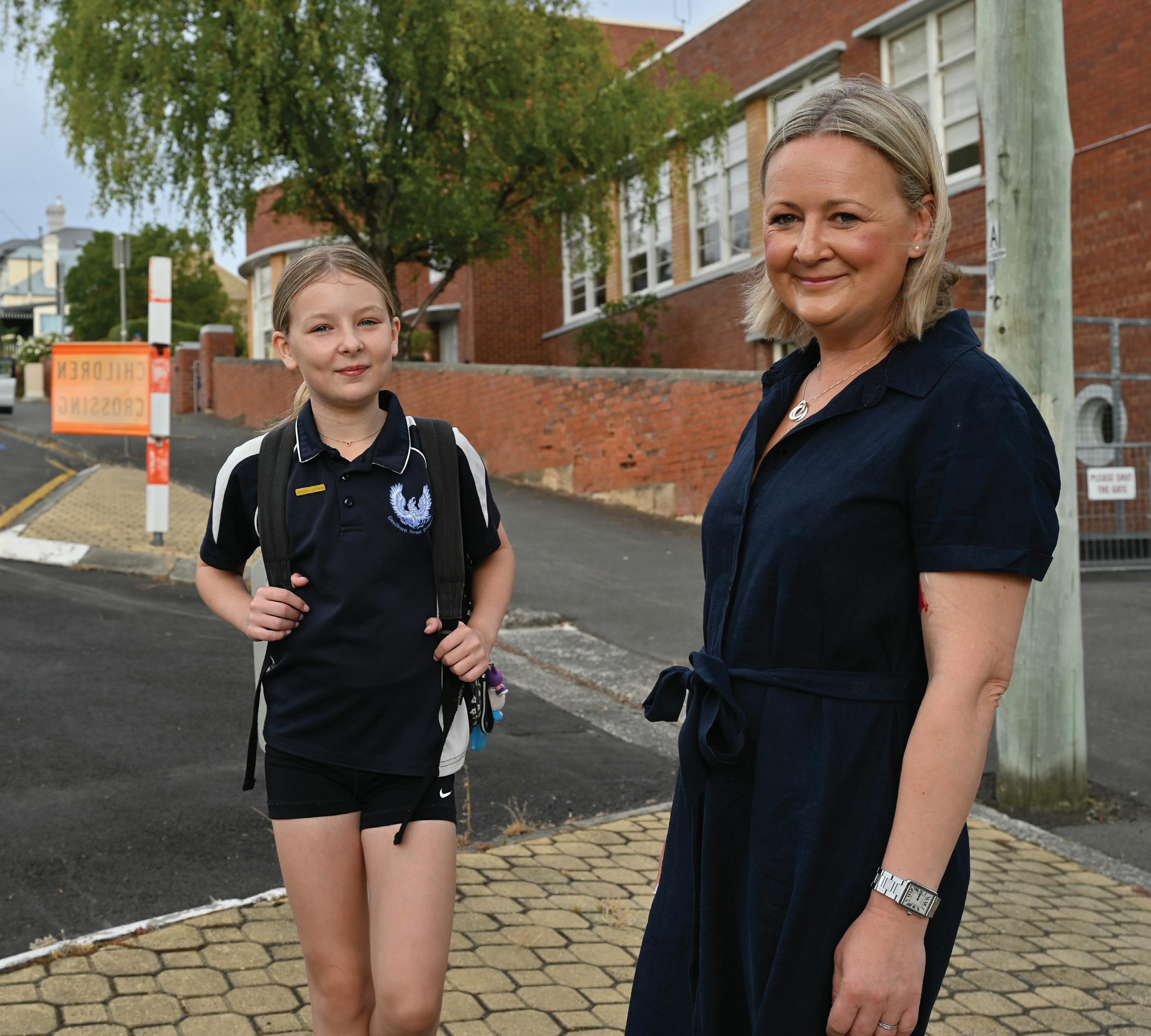
Goulburn Street Primary School’s active travel survey in 2022 found that around 65 per cent of respondents walk or cycle to or from school, indicating a need for increased safe ways to cross and travel along streets.
This is particularly true when children are travelling alone, and important for strengthening young people’s independence in getting to and from their daily activities. With nearly one in five West Hobart residents aged under 18, 3 it is important to design our streets for young people and children to safely and easily get around.

Of the 537 total comments on the online map, 20 per cent (107 comments) were about feeling unsafe crossing the street.
As shown in Figure 2, the comments about crossing the street are concentrated along the spine of Mellifont Street and Hill Street, and to some extent at the southern end of Lansdowne Crescent, at Raymont Terrace and along Cavell Street.
This Local Area Mobility Plan proposes ‘intersection upgrade’ and ‘safer crossing’ actions to address locations the community has told us are the hardest places to cross the street.

One third (181) of the comments were about feeling unsafe moving along the street.
These were concentrated along the spine of Hill Street, near Hill Street Grocer, and also at Summerhill Road and Warwick Street.
This Local Area Mobility Plan proposes ‘calm streets’ and ‘continuous footpath’ actions to address places the community has identified as the most challenging streets to move along.

The purpose of this Local Area Mobility Plan is to balance the needs of all people using our streets to improve access, mobility and streetscapes throughout West Hobart and parts of Mount Stuart.
Based on data analysis, community feedback, local observations, state and council strategic transport aims, and a review of previously proposed interventions, the following section summarises three key areas of opportunity that will help meet long-term community expectations.


Direct, connected and comfortable walking and riding infrastructure
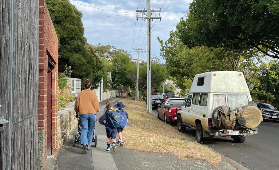
Creating routes that feel safe and enjoyable for walking and riding to our key destinations – including schools, shops, services, transit stops and parks – is essential for reducing traffic congestion, supporting healthy daily activity and facilitating independence for young people and others not able to drive a car. Making our streets safe for school-age children to independently travel to and from their local school and activities can have a major impact on the network by removing cars from the road at peak hours.
This opportunity aligns with the Goulburn Street School Access Travel Plan that encourages active travel modes (walking, scootering, cycling or catching the bus) to travel to and from school, as well as Hobart Transport Strategy’s Actions A.21 to ‘… improve pedestrian accessibility within… schools and key retail precincts’ and A.30 ‘Support children’s active travel to school’.
Having more people walking and riding in our community also enhances safety by increasing visibility and opportunities for social interaction. Key opportunities
identified through data analysis and community feedback include:
• Improving street crossings: Many community members highlighted the need for safer ways to cross streets. Mellifont, Newdegate and Summerhill streets were mentioned as particularly challenging and unsafe for families and kids. Warwick and Patrick streets along Hill Street, in addition to Byard Street and Benjafield Terrace, are also places where cars don’t yield to pedestrians, making it feel unsafe to cross. Proposed solutions include zebra or raised ‘wombat’ crossings, traffic calming or implementing full-stop requirements at intersections.
• Intersection upgrades: Prioritising pedestrian and bike rider safety at key intersections is a top priority. The most critical intersections identified are Hill St / Arthur St / Mellifont St; Cavell St / Goulburn St / Bathurst St; and Molle St / Goulburn St.
Cars coming from Mellifont Street and continuing on to Hill Street, or turning off Arthur Street to go to the Hill Street Grocer make crossing feel difficult and dangerous. Cars queuing can make it difficult to see what’s happening at the corner, which makes it especially dangerous for children and older people (Figure 4).
At the intersection of Cavell St / Goulburn St / Bathurst St, bus stop and parking locations compromise the view at the intersection, and there are no crossing opportunities at this point on a popular route to Goulburn Street Primary School. The bus stop is also uncomfortable to access.
Drivers using the slip lane at Molle and Goulburn streets sometimes fail to give way to pedestrians, and high speeds and insufficient kerb ramps make crossing this intersection feel unsafe (Figure 5).
The five- and ten-minute walking catchment areas around the three primary schools in the study area are shown in Figure 7.
Section 4 of this mobility plan highlights projects that have been selected to consider these school walking catchments, as well as the crash hotspots shown in Figure 8, for example by ensuring that crossings along major routes to schools are prioritised for improvement. Enabling more walking to school benefits children, parents and teaching staff, and eases traffic congestion during peak drop-off and pickup times.


The opportunity to provide better access to schools is addressed in the ‘intersection upgrade’ and ‘safe crossing’ actions in Section 4.


The average trip distance to walk and ride to education in Hobart is 1.2km. Nearly a third of educationrelated trips are on foot or by bike. – Hobart Transport Strategy 2024
Wide roads and large intersections encourage drivers to speed up, which compromises the safety and comfort of people out walking or riding. This makes streets less inviting for people to walk along or sit outside cafes. Having lots of space for cars also limits the amount of space provided for trees, seating and vegetation. Addressing speeding in West Hobart and Mount Stuart supports the Hobart Transport Strategy’s Action A.13 to ‘Trial an area-wide speed limit reduction to inform a Speed Limit Reduction Policy’.
Crash data helps identify areas where pedestrian safety is most at risk. By targeting high-risk intersections and crossings, as identified in Figure 8, with measures like lower speed limit signage, lane narrowing and traffic calming treatments, we can effectively slow traffic.


Streetscape improvements, such as ‘kerb build-outs’, widened footpaths and protected or contraflow cycling infrastructure can physically narrow lanes, making drivers more likely to slow down. Narrowed lanes also make car movements more predictable for people walking and cycling.
A low-cost way to visually reduce lane widths is to paint line markings to indicate narrowed vehicle lanes (of around 3 metres width) or bike lanes. While painted bike lanes are less effective in attracting less confident riders, they do remind drivers to travel at safer speeds. Streets where this may be suitable include Warwick Street (uphill), Lochner Street and Elphinstone Road. An example of the visual narrowing of a trafficable lane can be seen at the newly-painted median on Hamilton Street.
Key areas for traffic calming, as highlighted by community feedback, include Newdegate Street, Lansdowne Crescent and Hill Street.
Reducing speeds on all streets benefits the community: the chance of a pedestrian surviving the impact of a car travelling at 50 km/h is less than 20 per cent. If a pedestrian is hit by a car travelling at 40-45 km/h they have a 50 per cent chance of survival, and a 90 per cent chance if it’s going at 30 km/h.4
High traffic volumes and speeds in Mount Stuart have also raised safety and amenity concerns. The opportunity to implement safer speeds is addressed through traffic calming, traffic filters and area-wide speed reduction recommendations in Section 4.

Supported by a Hobart City Council Community Grant
The walking and cycling environment in Mount Stuart and West Hobart needs significant improvement to make active transport more attractive and viable for people of all ages and abilities. This supports the Hobart Transport Strategy’s Actions A.17-19 to ‘deliver healthy streets’.
While these neighborhoods already have a network of walking and cycling paths to beloved destinations like Knocklofty Reserve, we can expand and improve these connections. Figure 10 highlights current shortcuts and links for walking and cycling in West Hobart, while also emphasising the area’s hilly terrain.
http://westhobartenvnet.blogspot.com

While we can’t change the steepness of the terrain, key opportunities include:
• Address accessibility barriers: Address barriers for those with mobility needs by providing continuous footpaths, adding kerb ramps and ensuring smooth surfaces. For example, Mount Stuart Road requires additional kerb ramps. In addition, many footpaths are narrower than 1.5m, which isn’t wide enough for two people to pass comfortably when one has a pram or is in a wheelchair, for example.
• Leverage existing shortcuts and links: As shown in Figure 10, there are many shortcuts and links that provide walking and riding access to parks and recreational areas. The City of Hobart could trial more filters that allow people to walk and bike (filtering out vehicles) and install amenities like seating, lighting and plantings in streetscape upgrades.
• Improve walking access to bus stops: To make it easier to choose public transport, such as on Gordon Avenue, where crossing to the bus stop feels dangerous.
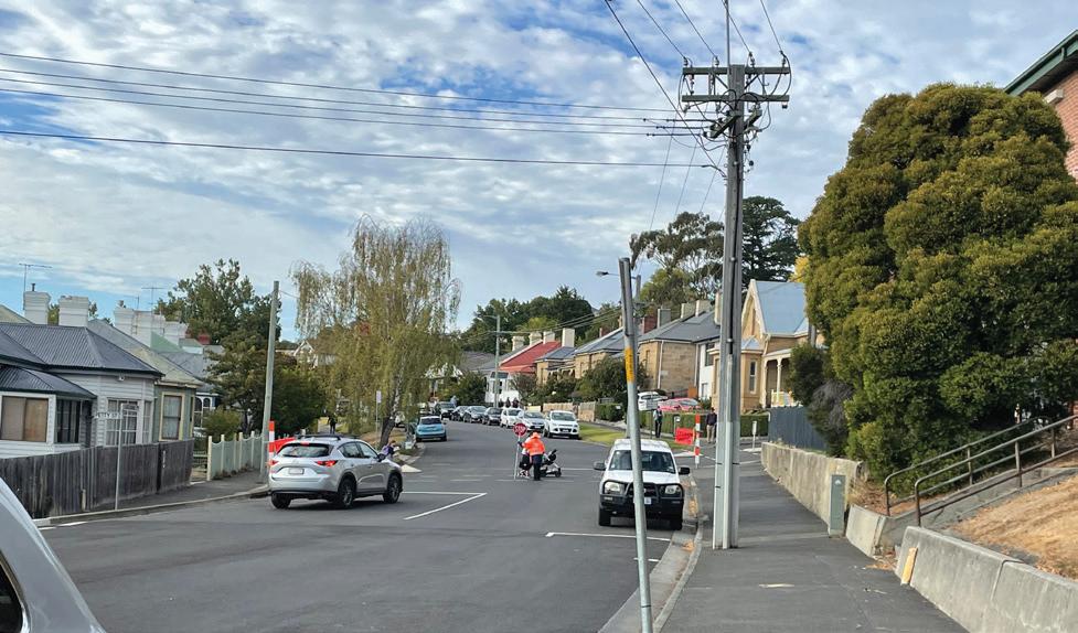
• Add and improve bike infrastructure: Provide quiet, slow streets and streetscape improvements that make riding comfortable. For example, community members report that riding on Mellifont and Goulburn streets feels unsafe. Install signage, markings and bike parking at key destinations to prioritise and facilitate bike riding.
Figure 13 shows that about 55 per cent of our residents are willing to ride a bike, but only 5 per cent feel comfortable riding a bike in all conditions, or on all types of roads. Around 13 per cent are ‘enthused and confident’ about riding in light traffic, but not in all circumstances. And another 37 per cent of residents are ‘interested but concerned’, meaning they would ride in locations that feel completely safe, even for inexperienced riders.
These are the types of riders who we want to design our infrastructure for. If we can provide the right conditions, a lot more of our residents and visitors will ride a bike, and shift from driving.

Figure 14 shows the types of infrastructure suitable for these different rider types, based on their level of comfort riding in that type of environment.

Bicycle routes (as identified in Section 5) should be designed for ‘All Ages and Abilities’ (AAA). These include off-road paths, protected bicycle lanes and local street bikeways.
On streets with very low traffic, and slow driver speeds, painted bicycle lanes can be enough. Since a person on a bike can travel at about 20 km/h, if drivers are travelling at that speed then a rider can generally move together with the cars safely. This is common in some no-through streets in West Hobart and Mount Stuart.
However, when traffic speeds or volumes increase, most bicycle riders feel uncomfortable mixing with traffic.
The cycling network provides a range of different types of infrastructure to suit different types of people or different purposes for riding:
Primary routes cater to more direct routes and faster cycling across the city, but may not link to all destinations along the way. An example of this type of route is the Intercity Cycleway, which provides an ‘offroad path’.
Secondary routes open more destinations to access by bike, such as schools, and are suitable for a range of bike types such as e-bikes, scooters or mobility scooters.
Neighbourhood routes expand the core cycling network through local links that ensure less confident riders can get from home to their destination. These routes will likely provide very slow and calm traffic conditions, identified in the Greater Hobart Cycling Plan as a ‘Local street bikeway’ facility.
A summary of the function of each type of cycle route is provided in Table 3.1.
Primary
Secondary
Neighbourhood route
E-mobility route
• Transport connections between key strategic centres.
• Many connections to other routes and destinations.
• Direct, with capacity for lots of riders.
• Provides connectivity to attractors such as schools, shops and employment areas.
• Less direct and more pleasant with trees and greenery.
• Connects to residential catchments.
• Links to at least one higher order route or a key destination.
• Alternative, direct route typically with steeper gradients.
• Beneficial for riders with e-bikes or a desire to ride up steep hills.
Providing bike parking at the end of the ride is important too. Bike parking racks, e-scooter parking areas and e-bike charging stations near popular places like Hill Street Grocer and local schools will encourage more people to ride.
In the future Mellifont, Goulburn and Harrington streets will require treatments to make riding more comfortable for all ages and abilities, and several other streets, like Lansdowne Crescent and Newdegate Street, will benefit from measures to calm traffic and prioritise people riding. The proposed bike network is detailed in Section 5.
The broader opportunity to directly connect more comfortable places to walk and ride is addressed through ‘continuous footpath’ and ‘calm streets’ actions in Section 4.


The 20 recommended actions identified in this section focus on balancing how our road space – a major part of our public space – is allocated for people walking, riding, using public transport, driving or parking private vehicles.
A summary table of the actions is provided in Section 6.
The projects included in the following sections were selected based on the volume of community comments, the analysis (summarised throughout Section 3), and with consideration of the following criteria:
1. Can be easily delivered.
2. Are relatively low cost.
3. Will have a high impact.
There are two area-wide actions recommended for the entirety of the Local Area Mobility Plan area:
1. Signpost vehicle speeds to 40km/h across West Hobart as per Action A.13 of the Hobart Transport Strategy 2024.
2. Progressively deliver the bicycle network mapped in Section 5.
The Local Area Mobility Plan identifies 15 actions at specific locations that fall under the following four types of interventions or street treatments, and mapped at Figure 15:
Make safety improvements to intersections, such as reconfiguring traffic lights and roundabouts, to prioritise pedestrians and bike riders. See page 36.
Install measures such as traffic calming, build outs or plantings to enhance existing connections (laneways, footpaths) by making people walking and riding feel safer, while discouraging through-traffic. See page 41.
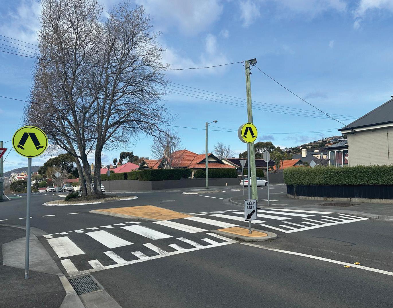
Install crossings level with the footpath, giving pedestrians priority and ease of travel. Install ‘build-outs’ – physical extensions of the footpath into the road that reduce the distance to cross. Provide adequate kerb ramps for wheelchairs and prams. See page 42.
Provide more opportunities to safely cross streets, which may include wombat or zebra crossings, or narrower vehicle lanes at crossings. See page 43.
These interventions are numbered 3 to 17. The proposed actions mapped in Figure 15 are listed and further detailed in the next sections, organised by intervention type.

Community feedback and local analysis have identified the need for comprehensive investigation and design at intersections 3, 4, 5 and 6 (See Figure 15). These intersections are in poor condition for pedestrians, with missing or inaccessible pram ramps and a lack of safe crossing facilities on desire lines.
3a Arthur Street Option A: Arthur Street /Mellifont Street pedestrian priority roundabout
3b Arthur Street Option B: Hill Street / Arthur Street / Mellifont Street traffic signals
4 Cavell Street / Goulburn Street / Bathurst Street intersection
5 Molle Street / Goulburn Street intersection
6 Gordon Avenue / Darling Parade / Benjafield Terrace
The following actions will require careful design to respond to the needs of people walking, riding, driving and using public transport. The cost of these projects will be substantial and likely need to be supported by external funding.
Introduce pedestrian priority roundabout with raised crossings on all arms to improve safety.
Redesign of intersections to introduce traffic signals.
Investigate an intersection redesign of the bus stop design and location; provide a safe pedestrian crossing facility; integrate with cycle network improvements.
Investigate a redesign to provide missing pram ramps; review the need for the dangerous slip lane; reduce pedestrian crossing distances; provide missing cycling connections.
Investigate an integrated redesign of this intersection to improve accessibility, manage traffic and resolve stormwater issues.
The intersection of Arthur Street with Mellifont and Hill streets is a complex dogleg intersection with conflicting movements between motor vehicles, people walking, riding and catching public transport. The presence of the Hill Street Grocer makes this one of the key community destinations in West Hobart.
Based on the number of community comments received, the intersection is the top priority for improving walking and cycling access in the local area. Concept options for its improvement are therefore provided in this Local Area Mobility Plan.
Interventions for this intersection have been previously considered by the City of Hobart in 2014 and 2017. There is currently temporary traffic management in place on Arthur Street to prevent right turns out of the Hill Street Grocer car park.
Concept plans have been developed to assess some advantages and disadvantages of two options for improving the intersection: traffic signals or a pedestrian priority roundabout.
A rapid, summary assessment of the advantages and disadvantages for each option is provided at Figure 16, with red indicating general drawbacks to the option, green indicating distinct benefits and yellow indicating neutral or mixed advantage and disadvantage.

Install traffic signals on Arthur Street at the intersection of Mellifont Street and Hill Street. Provide kerb outstands to reduce crossing distances. Preferably, both intersections would be raised to improve safety.
Advantages of this design include a significant road safety improvement for people walking and driving. Disadvantages may include less comfortable conditions for people riding bikes, delays to the 540 bus route, a reduced amount of on-street parking, and possibly a bit more noise at night from idling vehicles and audible pedestrian button beeps.
This option would be costly to design and build and is likely only achievable with substantial grant funding. A 2017 report by Midson Traffic found that the Hill Street / Arthur Street signalisation did not meet the Austroads ‘warrants’ for the number of people injured in crashes and traffic volumes at the time. The amount of traffic using Hill Street in the morning and evening has been steady since 2009.
Raised platforms
Kerb build-outs
Pedestrian crossings
This option introduces a roundabout at the Arthur Street / Mellifont Street intersection, with raised pedestrian crossings on all four arms. Pedestrian crossing distances are reduced, including at Butterworth and Hill streets. The central median can be planted to improve the appearance of the street. The right turn into the Hill Street Grocer car park could be restricted, with the existing roundabout at Pine Street and a new Mellifont Street roundabout making driving access and U-turns safe and convenient from all directions.
Advantages of this option include less delay for people crossing the street, opportunities for street trees and greening, less change to current parking supply than Option A and integrated improvements to the cycle route connecting Mellifont and Butterworth streets.
The current 540 bus would not be delayed, however, the design would need to carefully consider bus movements into Mellifont Street, while limiting turn speeds for smaller vehicles. The raised pedestrian crossings are critical to the success of Option B and will make local walking trips to shops and schools more attractive and enjoyable.
This design would likely result in a calmer and more attractive local place than Option A. The design would not discourage through traffic using the Hill Street to Mellifont Street route. Raised pedestrian crossings have an excellent safety record but would require brighter street lights and drainage works, both of which are costly.

Bicycle connection
Kerb build-outs
Landscaped median
Priority crossing


The second type of intervention proposed and identified in the map at Figure 15 are calm streets. There are many streets in West Hobart that already benefit from slow and calm traffic conditions. Either due to the hilly landscape or historic traffic diversions, it is common for streets to be closed to through-traffic, making it safe enough to use the street to play and socialise. The community loves using existing calm streets, which indicates they are successful in slowing streets to encourage walking and riding. We should replicate this successful intervention where the community feels less safe.
There are opportunities to achieve similar conditions on other streets with carefully targeted interventions. The streets identified in the action table below will improve safety near schools and align with the cycle network (Figure 20).

Calm streets go beyond speed humps, signage and typical traffic obstacles and instead focus on creating self-explaining street environments that feel inviting for people to walk, ride and spend time in. This results in drivers naturally selfregulating their behaviour, rather than responding to only signage and speed enforcement.
7 Newdegate Street calm street
8 Lansdowne Crescent calm street
9 Upgrade Train Park slow point
10 Gordon Avenue calm street
Reduce speeds and discourage through-traffic to create a calmer street. Consider a one-way in/out at Andrew Street, or a negotiated slow point. Provide a local street cycleway treatment to support this important cycle route.
Reduce speeds and discourage through-traffic with a negotiated slow point while also improving crossing safety near the school. Prioritise comfortable bike movements along the length of the street.
Investigate a raised pavement or lateral shift at existing slow point.
Investigate a negotiated slow point and crossing facility near the bus stop to improve safety for passengers and people using the cut-through steps.
A continuous footpath is where a pedestrian crossing is provided at the same level as the footpath. When these are installed at a side road intersection, it is a clear indicator to drivers they’ve entered pedestrian territory. They are easier for people using wheelchairs, prams or scooters to use, because they don’t have to negotiate a ramp. When designed well, the crossing distance is minimised and vehicles need to turn slowly. The design ensures drivers give way to pedestrians crossing the road they are turning into, consistent with the road rules.
This design is around 60 per cent safer than a regular zebra crossing.5
Providing a raised crossing can be difficult and costly where there is a lot of fastmoving stormwater, such as hilly streets.

In these locations, it may be more costeffective to reduce the crossing distance using build-outs, which reduce the distance needed to walk across the street. A road hump adjacent to a zebra crossing can also be an effective way to achieve a similar outcome.
11 Raymont Terrace footpath upgrade
12 Byard Street / Mt Stuart Road accessibility improvements
13 Arthur Street continuous footpaths
Reduce the crossing distance east-west and provide stop signs to reduce traffic speeds and improve pedestrian safety.
Install a raised continuous footpath, reduce crossing distances and provide median islands to improve accessibility and walkability.
Investigate reducing pedestrian crossing distances near Hill Street Grocer along Arthur Street with continuous footpaths and comfortable cycling access from Mellifont Street to/from Butterworth Street.
As with continuous footpaths, raised pedestrian crossings improve road safety and make walking more comfortable and convenient, especially for people with wheelchairs and prams. Raised zebra crossings are known as ‘wombat’ crossings. They can be costly to construct if heavy stormwater flows require new drainage works. Alternative treatments that also provide pedestrian priority can include zebra crossings at the same level as cars and kerb extensions (or build-outs) to reduce the distance to cross the street.
The existing wombat crossing on Hill Street north of Pine Street was installed as a trial in 2019. Community feedback gathered to inform this Local Area Mobility Plan has noted some concern about driver compliance and sightlines, however, a detailed evaluation found that the trial has been successful6 and the treatment was made permanent in 2020.
The safety of these crossings will be complemented by the area-wide 40km/h zone (Action 1) and, with additional consistent treatment, drivers will, over time become more accustomed to the desired behaviour.
14 Mellifont Street wombat crossing
15 Train Park wombat crossing
16 Hill Street / Patrick Street wombat crossing
17 Melville Street / Molle Street crossing
Investigate a new wombat crossing, supporting the pedestrian desire line from Summerhill to Newdegate streets. Improves safety for drivers exiting Summerhill Street and increases comfort for cycle movements to/ from Mellifont and Newdegate streets.
A wombat crossing concept design was previously prepared in 2017. This would provide a safe crossing on the southern arm of the Hill Street / Warwick Street roundabout, improving safety for people visiting the Train Park.
A wombat crossing concept design was previously prepared in 2017. This would provide a safe crossing at the Hill Street / Patrick Street roundabout but would require kerb adjustments and relocation of the post office box and bus stop.
New wombat crossing to be investigated on Melville Street to the immediate north of Molle Street. Resolves access issue with steps on the Melville Street western footpath at Cavell Street.

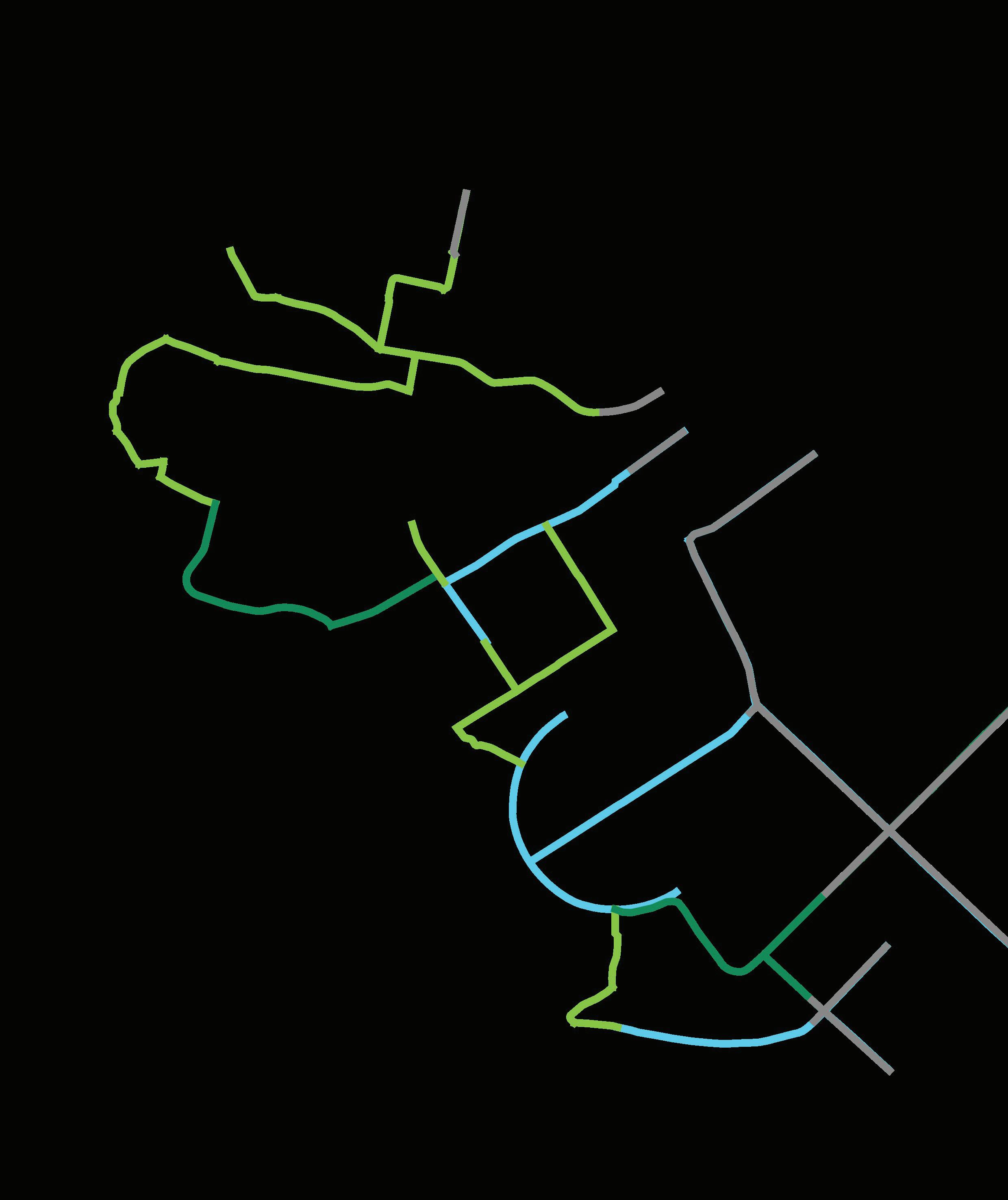
The only existing bike lanes in the area are painted uphill in short sections on Hill Street. Hill Street provides a direct route for confident riders, however, an upgrade to support ‘Interested but Concerned’ riders would likely require extensive works to drainage and kerbs to achieve adequate cycle lane widths at substantial cost. As such, quieter and less steep routes have been identified to form the future network (Figure 20).
The following table identifies priority actions to enhance the cycling network for as many residents as possible.

18
19
20 Goulburn Street
Investigate treatment options for an All Ages & Abilities (AAA) route as an alternative to using Hill Street (potential option shown in Figure 19). Provides an important connection to North Hobart via Newdegate Street.
Resurface path and provide a kerb ramp at West Hobart Recreation Ground. Modify the gated chicane in Forbes Avenue to allow cargo bike access through laneway.
Investigate future improvements to cycle route, school access, tree canopy and parking management.


This
Local Area Mobility Plan recommends 20 projects the City of Hobart can undertake to enable people of all ages and abilities to walk, ride or catch public transport to their destination.
By completing these works, we can reduce carbon emissions and congestion, improve neighbourhood vibrancy and social connections, and help people live more healthy, active lives.
2.
Hobart Town Hall, Macquarie Street, Hobart, Tasmania 7000 Australia t (03) 6238 2711 f (03) 6238 2186 e coh@hobartcity.com.au w hobartcity.com.au