8 minute read
LOOKING TO THE SKY


HOW UNMANNED AERIAL VEHICLES ARE REVOLUTIONISING AUSTRALIA’S FARMS
w: Ralph Grayden

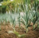
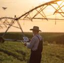
From crop planting to pest eradication and from irrigation to 3D modelling, we explore how Australia’s local agricultural industry is already using drones to maximise the profitability and output from the land.
POPULATION AND ECONOMIC GROWTH DRIVING A PUSH FOR PRECISION
The number of people on our planet is growing rapidly, with as many as 2.3 billion expected to be added to the world’s population between 2009 and 2050. At the same time, global wealth is also growing, with 700 million additional people likely to obtain ‘middle class’ status (i.e. earning between roughly $6,000 and $60,000 a year) by 2030. As the world’s population gets both bigger and richer, it is creating unprecedented demand for agricultural produce – something that isn’t likely to slow down anytime soon.
But while this has the potential to be a boon for efficient agricultural producers such as Australia’s, the challenge is that, well, quite simply no one is creating any more land. By and large, any increased capacity will need to come from existing resources.
This is leading to a new emphasis on ‘precision agriculture’, in which farmers use technology to increase crop yields and profitability at the same time as they lower the number of inputs needed to grow those crops.
And that’s exactly where drones come into the picture.
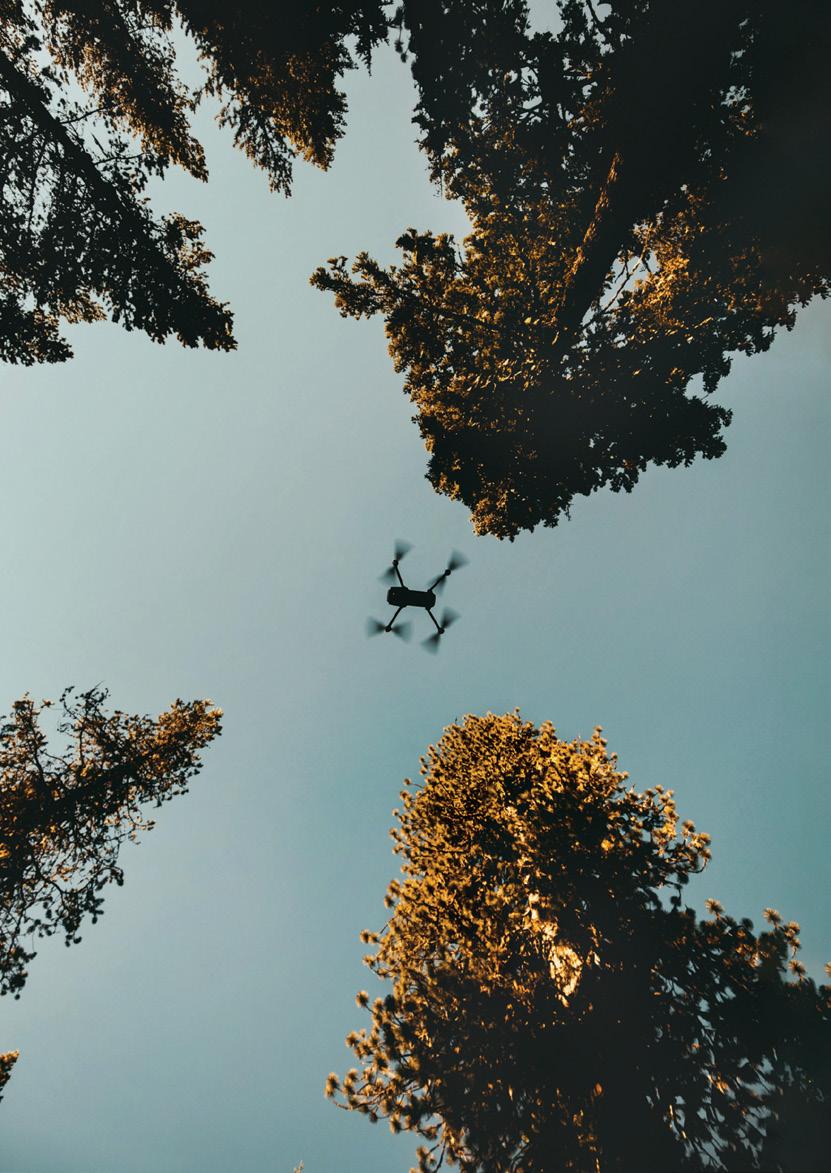
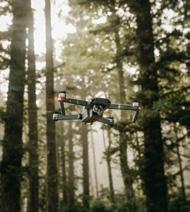
HOW AUSTRALIAN FARMERS ARE ALREADY USING DRONES
Drones have the ability to get into places and perform functions that previously either weren’t possible or weren’t economically viable. They have also become much more affordable and accessible – to the point where owning a drone or two is no longer out of the reach of many Australian farmers.

“We’ve reached this saturation point where drone technology has become safe and cheap,” says Mark Spessot, Operations Manager of XAG Australia, a manufacturer and supplier of drones and dronerelated services.
“Today, a farmer only needs to spend between around $5,000 and $65,000 to acquire their own quality drone – and that can make a real difference to their bottom line. This isn’t too much when compared with tractors, and yet it has the potential to bring even greater efficiencies to their operations.”

As a result, we’re seeing Australian farmers already deploying drones on their properties in several ways.
PEST AND WEED CONTROL
One way drones have been used to date has been in crop spraying and pest eradication. Not only are drones often cheaper and safer than using traditional piloted crop dusters, they can also provide a level of precision that manned aircraft simply aren’t capable of.
Queensland’s Department of Agriculture and Fisheries (DAF) has been actively helping the state’s cane farmers utilise drones to carry out precision spraying. Once drones map a cane field, farmers can identify exactly which plants need spraying so that they target only these. This helps farmers cut down on the costs associated with buying and spraying pesticides while simultaneously protecting potential runoff into neighbouring waterways that could end up on the Great Barrier Reef.
“After sending out a small mapping drone to take images, we use a large specialised cop spraying drone that is capable of spraying just those areas that we’ve identified as weeds, so we can use a fraction of the chemical we did previously,” says Marcus Bulstrode, Senior Development Officer with the Department of Agriculture and Fisheries.
Bulstrode says that because the machine he uses is distributing registered chemicals, it requires very specific accreditation and licensing. However, he foresees a time in the not-too-distant future when agricultural co-ops and additional contractors become accredited to carry out these activities.
SOIL SAMPLING AND IRRIGATION
Farmers aren’t just using drones to map their land for weeds and pests. They are also using them to capture detailed images of their property with both traditional RGB and thermal multispectral cameras. Drones can provide extremely highresolution images that form the basis for 2D maps and 3D models of properties, providing a much more detailed view of a farm than satellite imagery can. This detail supports a wider and more informed range of management activities across the farm.
This real-time coverage provides the opportunity to monitor plants and soil better and address issues as they arise. It also lets them see how particular plants are progressing and gives them important data that can be used to forecast future yields.
“Different soil types will affect yield,” Bulstrode says. “Traditionally, farm mapping has been done on artificial boundaries, such as fence lines. A drone has the ability to immediately show zones of difference in growing conditions that may not relate to fence lines or paddock boundaries, so farmers can immediately see zones that can be managed separately to maximise crop yield and optimise inputs such as fertiliser.”
While Australia’s East Coast may have been experiencing too much water over the past few years, similar drone-based mapping can also show farmers which parts of the land need more extensive irrigation. Drones can then be used to continually monitor the land to make sure that irrigation is working as it should. Again, that’s likely to become more important, with an El Nino event potentially forecast to return towards the end of 2023.
PLANTING
Aerial seeding drones are already commercially available and are being used to plant crops. When teamed up with the right software, these can also give farmers the opportunity to analyse the soil and moisture content and optimise seeding and planting rates to maximise yield.
XAG Australia’s Mark Spessot observes that tree planting is an increasingly important part of sustainable farming. He says that his company has been working with NSW Forestry, using drones both to deforest weed-infested land and then replant it with native trees.
HERDING
Some farmers are using larger drones to herd livestock, with one UNSW study finding that this could be better for the animal, inducing less stress than traditional methods of herding. Sheep were especially found to respond well to drones if they approached at an appropriate speed and played certain sounds.
WHERE DRONE TECHNOLOGY IS HEADED
Spessot believes, however, that we’re only in the early stages of the drone revolution and that we will see real advances made over the next decade or so.
“There is a tech revolution going on, and the drone is very much a part of it.” He also says that, as drones become even cheaper and more reliable and offer greater capacity, they will combine with other technologies such as artificial intelligence (AI) and automation to fundamentally transform farming.
“It won’t be long before we see automated drones being used on crops. The software will constantly monitor what’s happening and drones will simply fly out and take the necessary action, without the need for any human intervention,” he says.
GETTING STARTED WITH DRONES
Martin Marcus Bulstrode says that, while drones promise to deliver so much to farmers, that doesn’t mean they will be a ‘cure all’. Before outlaying any money, farmers keen to use drones to improve efficiency on their farms should always have a specific goal in mind.
This should help farmers weigh up whether incorporating drone technology would be a more cost-effective and efficient option than using traditional methods. It should also inform whether to buy your own drone, use the services of a drone company, or use a combination of methods.
“Many broadacre farms, for instance, are geographically too large to map entirely by drone. However, they’re likely to find that using drones to target problem areas is likely to lead to better outcomes.
“The key to doing well is starting with good agronomy and using farming skills to understand what’s needed, and then using drone technology as a tool to support this, rather than the other way around.”
PHOTO CAPTURING AND DATA
Farmers are also using drones to capture detailed images of their property. Drones can allow farmers to capture highresolution images that can be used to create 3D models of arise. It also lets them see how particular plants are progressing and gives them important data that can be used to forecast future yields their properties, even in the most inaccessible places. This real-time coverage provides the opportunity to monitor plants and soil better and address issues as they