6 minute read
SIMON SAYS


by Simon Hastelow
Walk the Route
Advertisement
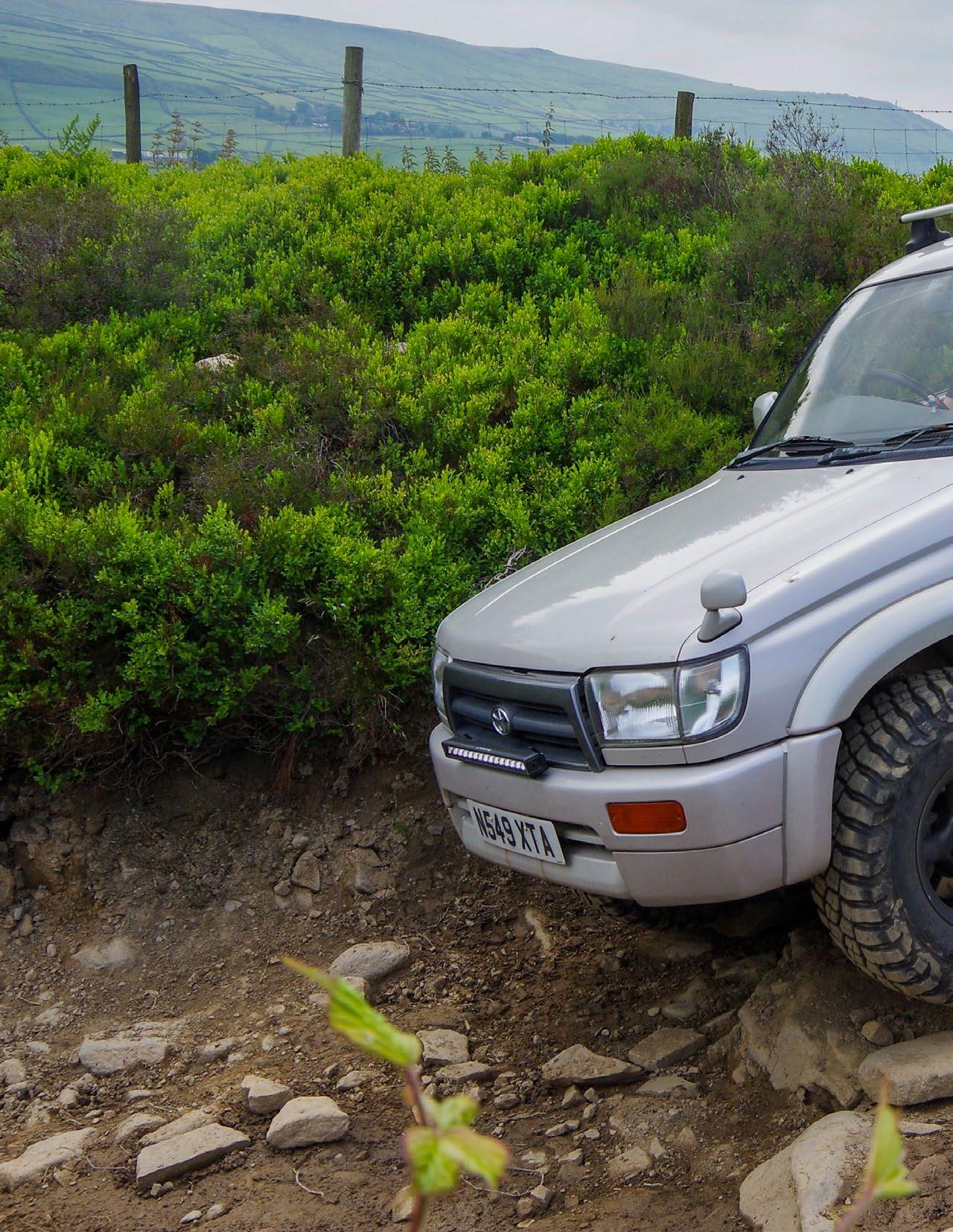
This is a long standing piece of advice for anyone venturing off-road in an unfamiliar area or driving a new trail - when the terrain looks uncertain or there are obstacles in the way, walk the route!
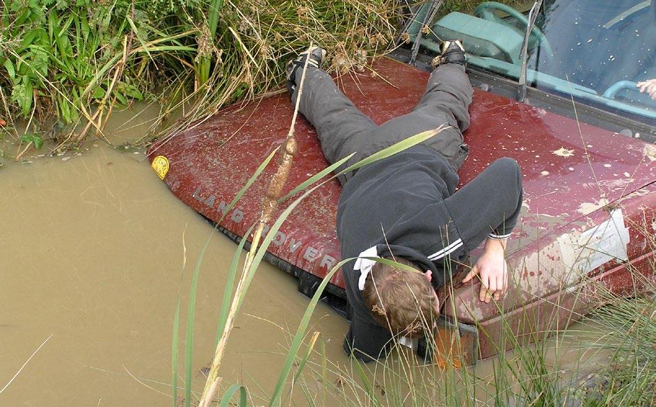
We’ve all seen people get bogged down, gone deeper into the water than they could safely handle, or got stranded on unseen rocks, tree stumps or other obstacles.
There are two very good indicators that a hazard may be lying ahead:
• One is that there is more churned up dirt than anywhere else, lots of footprints and tyre tracks at unusual angles.
• The second is that there’s normally someone standing there with a camera to record your exploits and failures for posterity!
I had two instances of this recently that prove waking the route yourself is a good policy, even when you’re not off-road. We experienced a brief period of higher than average rainfall and the usual roads got flooded, just as they always do, regardless of the efforts of the local authority and water company to minimise the flooding.
It seems that they may have decided that as long as most of the roads are OK most of the time, then that’s all they need to do. The odd times when roads become unpassable or properties get flooded is justifiable on their cost/benefit analysis spreadsheets.
However there is one particular road in my town that ALWAYS floods, and ALWAYS gets mentioned in the local paper accompanied by the inevitable photo of a stranded motorist roughly halfway into the flooded section.
It is easy to blame the utility companies and infrastructure failures of the local council, but just like it’s not really worth maintaining an entire fleet of snow ploughs just for the half a dozen days of deep snow we get every few years, its probably not worth spending millions on fixing this particular road - an underpass next to the train station - and subject us all to the inevitable months of traffic disruption, just to mitigate the few days its floods each year.
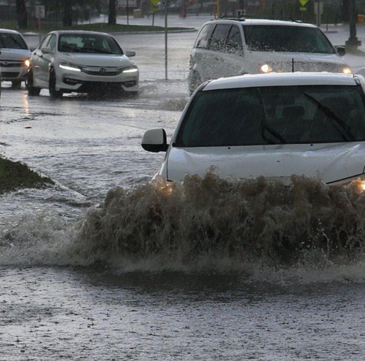
The really frustrating thing is that the worst disruption seems to be when the flooding isn’t really that bad. Most larger cars and vans can get through, but there’s always someone in an ancient Nissan Micra who thinks they can make it!
THIS is what caused the traffic congestion on this occasion. The car got stuck, because no-one really knows where the air intake on their cars is any more, and blocked the whole road until a recovery truck could get them out.
The AA and RAC are not interested in helping you if you’re stupid enough to do this, so its usually either a local recovery guy or a council appointed agent. They charge ££££, and also seem to take their own sweet time in getting there.
When the flooding is really bad, its usually enough to frighten off the divots with no driving skills and lets the larger trucks and buses get through. Whichever it is, we still have to endure the local mouthbreathers on social media calling for the blood of all council staff just because they were delayed getting to Greggs that morning
The second incidence of ‘walk the course’ is a little tangential simply because we were actually walking!
On a recent hiking trip to The Lake District we had a couple of hikes planned. Half the fun of these outings is the preparation in advance. Researching the options and plotting a route usually involves a couple of guide books or magazine articles for inspiration plus an online mapping facility. We use one called Outdoor Active (it used to be called ViewRanger) which allows us to download OS maps to our phones and overlay the route and suitable waypoints.
We’re also in a couple of Facebook groups for hiking in general, and the Lake District in particular, from which we gather advice from fellow walkers.
Anyway, this particular day we planned to hike The Fairfield Horseshoe near Ambleside. It is a circular, horseshoe shaped route totalling some 18km which can be tackled in either direction, and which traverses eight Wainwright peaks, the highest of which is Fairfield itself, standing at 873m.
We had previously attempted this one in February 2018 but had to bail out as the snow covering the peaks was knee deep in places, and it was going to take us much longer than we anticipated. However, this time we were prepared. We’d plotted the route, estimated 6 hours hiking time, and taken enough provisions and water to see us through.
We started at the steeper ‘Nab Scar’ end as before, we knew this was somewhat of a hard climb as it is pretty much vertical for 400m or so elevation, but after that the route to the other peaks was smoother and the remaining 400m+ climb was stretched out over a longer distance.
Thankfully we’d packed waterproofs and extra layers as, although the temperature in Ambleside was a ‘balmy’ 12°C, up at Fairfeld’s 873m peak it was struggling to top 0°C with the wind chill.
The reason for me regaling you with this anecdote is that the journey DOWN was not as boring and uneventful as we had expected. True enough it was mostly downhill and a tad boring on the scenery aspect, but what we hadn’t expected was the lengthy sections of very rocky terrain. Its hard enough walking down a mountain when your legs are already tired from walking up it, but add sizeable rocks and uneven terrain into the mix, and it just makes things harder.
Then we came to a particularly rocky section that was already hard enough to navigate, but it lead to a rock formation with a vertical 3-4m drop. There was no way we could safely get past that without specialist climbing equipment so we had to backtrack and find a safer route.

The path we had walked to get here was plotted as the best route, other people had recommended this route, only being there, looking at the sheer drop makes you realise that you cannot always count on advice you read on the internet!
At this point we realised that the people recommending we hike the horseshoe anti-clockwise "because it was easier” have probably never walked it themselves. They may have looked at the contours on an OS map or an elevation graph, and seen that the north-eastern edge is a softer gradient than the south-western, but that doesn’t tell you what the condition of the ground is.
It turns out that there was a much safer and easier path away from the rocks and which bypassed the sheer cliff face we found, but we were so focussed on sticking to the path plotted on our mapping app that we’d overlooked it completely!
We were still knackered after the hike, and it took 7 hours instead of the 6 we had estimated, but we’d still do it again. Next time we’d be armed with personal experience and knowledge of the trail not rely on someone else’s account of it.