5 minute read
A view from aboven
from Surveyors journal
by Th!nk Media
A VIEW FROM ABOVE
IS IT DULL? IS IT DIRTY? IS IT DANGEROUS? GET A DRONE TO DO IT!
Need a bird’s eye view of the surrounding area? Need to put up scaffolding to inspect a building and roof? Is the area to be surveyed accessible? Are there harmful materials or chemicals present? Surveyors are constantly challenged with gathering accurate, timely data for analysis in real time with actionable insights and not always in ideal conditions. They may not be aware of the benefits and capabilities of using drone technology.
Drone operations may not currently be part of in-house expertise, or companies may use outdated, costly solutions. In some cases, companies outsource at great expense, or use expensive alternative platforms such as scaffolding, cranes or helicopters. Real-time information is a key challenge for engineering and construction companies. Drones are a means to an end and the value is in the data and in taking full advantage of integrating it. Enhanced processes and digital tools cannot replace people but they are essential to increase quality, reduce costs, mitigate safety risks and improve decision-making, bringing a competitive advantage to early adopters.

Types of drones and use cases
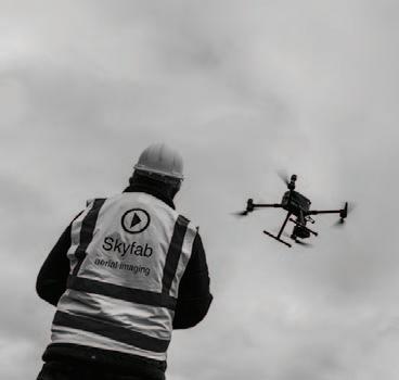
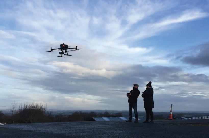
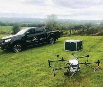
The most common type of drone is a simple quadcopter and the advantage of these drones is that they are generally light, with simple technology, easy to operate and reliable. The disadvantage is there is no redundancy – if a motor fails, the drone will crash. The payloads are generally not interchangeable on smaller drones and they will not be as stable as larger drones in windy conditions. Hexcopters and octocopters provide more stable platforms, with interchangeable or multiple payloads. Fixed-wing drones tend to be used where larger areas are being surveyed or mapped. Drones can be flown manually through a remote control, with pre-programmed flightpaths and actions set at waypoints, or may be fully autonomous, where the operator has no ability to make an input once the operation has commenced. Drones are most commonly used to obtain high-resolution photographs and videos, and there are constant new entrants to the market competing with the well-established brands. Whether thermal or multispectral sensors, or sensors for detecting light intensity, sound, frequency or gas vapour, the applications and available sensors are endless, as are the combinations of sensors on the same platform. The uses are only limited by our imaginations.
FEATURE
Julie Garland CEO, Avtrain


European regulations
The new EU regulations, which came into effect on January 1, 2021, adopt a risk-based approach and do not distinguish between leisure and commercial activities. They take into account the weight and specifications of the drone, and the operation it is intended to undertake. The operational categories are based on increasing levels of risk, and are: Open; Specific; or, Certified. In the Open category, once you have carried out very basic training and are registered, you can operate the drone with no further reference to or permission from the Irish Aviation Authority (IAA). The Specific category is the next level where you have to perform a risk assessment and make a declaration, or apply for an authorisation based on the risk your operation poses to uninvolved persons and to manned aircraft. If the drone is flown over a controlled ground area this is a significant advantage during the risk assessments.
Getting airborne
The first step is to register on https://iaa. mysrs.ie/auth/sign-in and complete the Open A1/A3 exam. This will allow you to operate very small drones close to people and drones up to 25kg far away from people and property. The next level is for drones up to 4kg, where you need to complete further training and certification for the Open A2 Category, which allows for operations up to 30m from uninvolved people and to 5m with a low speed mode selected. If the operation is of sufficient risk to require a risk assessment to be completed and/or if you are operating anywhere in Dublin, Cork or Shannon within 15nm of the airport, you will most likely be in controlled airspace and to get permission to fly in these areas you need to be certified in the Specific Category. This certification is a twoday theoretical knowledge course focused on risk management followed by the development of an operations manual and a flight test. There is also the option of practical flight training with software and systems instruction. The advantages of having in-house drone operators is that they know exactly what they are looking for and can immediately carry out in-depth analysis if an area causes concern. They will be on location anyway so time and weather won’t cause the same kind of limitations, and will be familiar with the health and safety considerations of a live site environment. Site insurance can be extended to cover drone operations. Subcontracting questions
If you are planning on using a subcontractor, there are a number of questions you can ask to see if they’re the right fit for you.
What level of certification do they hold?
I would suggest a minimum of a Specific Category Operational Authorisation. This means the operator can identify and mitigate risks to an acceptable level applicable in diverse operations.
Other questions to consider
n What experience/flying hours do the pilots have? n Have they been on sites or do they have expertise in construction? n What variety of equipment do they have? n Do they have sensors for the data you need to collect? n What insurance do they hold? n Can they indemnify your organisation against all risks? n Can they provide survey grade data, has it been quality assured, and what is the level of accuracy and verification? n What is the cost? n What is the availability? n Will they be reliable and have continuous regular availability during a large-scale project? n Finally, ask for references.


