2 minute read
Averting disaster
PROFESSOR HOLGER MAIER Lead researcher ENVIRONMENT & SUSTAINABILITY
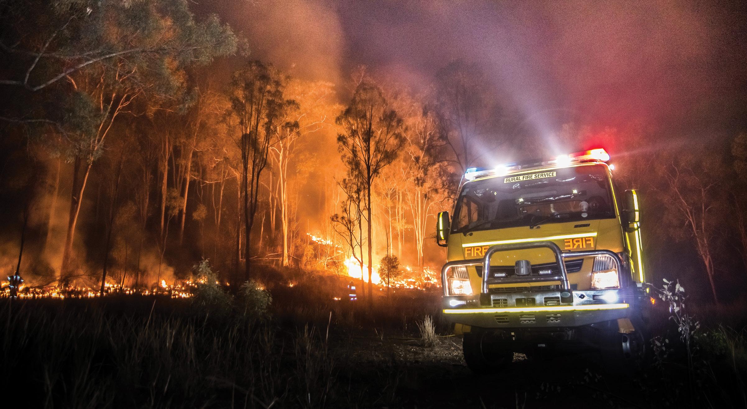
It’s an unsettling prognosis. Driven by climate change, population growth and economic development, natural hazards —such as the recent bushfires in Australia and the US, heatwaves in Europe, and floods in Japan—will in coming years become an even bigger threat. They will occur more frequently and with greater intensity. One will ‘cascade’ into another more regularly. Costs to life and economies will spiral. So what are governments to do? How are they to identify which risk mitigation strategies will work today, in their specific environment, without causing new, unforeseen problems tomorrow? Ground-breaking University of Adelaideled research is presenting an answer. Collaborating with government agencies across four Australian states, and funded through the national Bushfire and Natural Hazards Cooperative Research Centre our team has codeveloped the world’s most holistic risk mitigation decision-support tool. Called UNHaRMED, which stands for Unified Natural Hazard Risk Mitigation Exploratory Decision support system, the software is the first to enable authorities to model changes in their spatial risk profile over time in response to multiple, interacting variables—including potential risk mitigation strategies themselves.
Advertisement
KEY ACHIEVEMENTS
A University of Adelaide research team has led the codevelopment of the world’s most holistic disaster risk mitigation decision-support tool. “It’s a kind of risk mitigation policy wind tunnel,” says lead researcher Professor Holger Maier. “UNHaRMED lets decision-makers test how their local disaster risk will be affected by climate, population and economic drivers; mitigation measures, such as restricting land use, strengthening building codes, constructing sea walls or increasing controlled burns; and by all factors’ cumulative influence on each other.
Prototype UNHaRMED applications have now been developed for authorities in South and Western Australia, Victoria and Tasmania. And Maier and his colleagues are continuing to build even greater flexibility into the system, conducting ongoing research into ways of quantifying social vulnerability.
The system is the first to enable authorities to model changes in their spatial risk profile over time in response to multiple, interacting variables. “We’re currently looking at ways of accounting for the impact of people’s lived experiences of disasters,” he says, “and the fact that certain areas have multiple, different uses throughout the day, each creating its own unique risk profile.” The result, he believes, will be a tool suitable for embedding in government processes across the country to inform policy economy-wide, and reduce future disaster risk. “The principles underlying UNHaRMED can be used for long-term planning in utilities, transport and just about any other sector to facilitate a truly integrated approach. “For example, we’ve just launched an industry-backed PhD with South Australia’s water and electricity authorities to investigate applying these principles to cyber-security risks threatening our state’s water supply. “This could be the difference that allows Australia to effectively increase its collective preparedness for disasters of all kinds, rather than being surprised and caught-out by future catastrophes. After the events of our last summer, that’s something we’re all hoping for.”
Cost-benefit trade-offs can be explored for all potential mitigation strategies, even taking into account their impact on each other.


