7 minute read
Fall in Love with Arkansas
words Jill Rohrbach, Arkansas Department of Parks and Tourism images courtesy Arkansas Department of Parks and Tourism
OOne of my favorite things about Arkansas is that it gives the best of every season. When the heat of summer arrives, there are pools and lakes to cool off in. The perfect temps of spring bring the fun of festivals and flowers. The cold of winter is meant for visiting cabins with fireplaces and sledding in the snow. And then there’s fall.
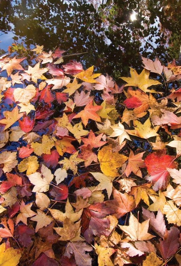
While camping and hiking can be enjoyed in The Natural State any time of year, there’s just something about the crisper mornings of autumn that give way to warm afternoons and settle into an evening aglow with golden hues of changing leaves. Nature’s call is strong in the fall. Campers and hikers can hear it well. Arkansas has more than 250 hiking trails totaling over 1,500 miles. Trails accommodate all skill levels and allow for day hikes and multi-day backpacking. Campgrounds and RV sites are located across the state in Arkansas State Parks, U.S. Army Corps of Engineer areas, three national forests, and along must-see destinations like the Buffalo National River.
Here are five places to consider when you hear Mother Nature beckon you to enjoy the great outdoors and her showcase of falling fiery leaves.
Bear Hollow Trail
Hiking – Located at Mount Magazine State Park, the upper part of the hollow has never been logged and is some of the last remaining virgin hardwood forest in Arkansas. Some of the mountain’s most beautiful scenery is found along this trail with points of interest at Sunrise Rock, Inspiration Point, Bear Head Bluff, and Shoal Creek. The first part of this trail was originally constructed by the Works Progress Administration in 1938. The trail is moderate in difficulty. The length is 2.8 miles with an option of starting at the picnic area or near the visitor center to create a 7.5-mile loop connecting four other trails.
Trailhead Location - On Scenic Highway 309, 17 miles south of Paris.
Camping – The park campground contains 18 campsites with water, electric, and sewer hookups, a barrier-free bathhouse with hot showers and flush toilets, and an RV dump station. Park campsites may be reserved online at MountMagazineStatePark.com, or by calling 479.963.8502. Additional campsites can be found down the mountain at Cove Lake, run by the USDA Forest Service, and at Blue Mountain Lake, administered by the U.S. Army Corps of Engineers.
Whitaker Point
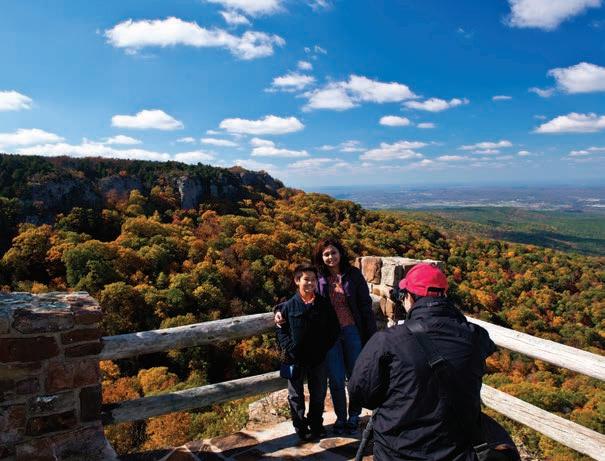
Hiking – If you haven’t, you really must hike to Whitaker Point, one of Arkansas’s most iconic spots. Near the Buffalo National River, the sweeping view from the rock outcropping that juts over the valley is incredible, especially in autumn. Don’t forget your camera. It’s only a short 1.5 miles (3 miles round trip) on a looping trail. The terrain is easy, but do be careful along the bluff portion and on the crag.
Trailhead Location – From Highway 43 South to left onto Highway 21. Go about two miles to the Boxley Bridge that crosses the Buffalo River. Turn right onto gravel road #9560 and go about 6 miles. Pass the Cave Mountain Church and Cemetery on the right and the trailhead is about ¼-mile further. Trailhead parking is limited, so if you're arriving on a Saturday, especially in the fall, expect to park along the roadside. When the trailhead parking area is full, be sure to park your vehicle so that it does not obstruct through-traffic.
Camping – Steel Creek Campground is about 3 miles east of Ponca off of Highway 74. The tent campground has 26 campsites and the horse campground has 14 sites. Water and restrooms are available. Kyle’s Landing Campground is also located off Highway 74.


King’s Bluff Loop Trail
Hiking – Considered moderately difficult, this trail is a short 1.7-mile hike to the awe-inspiring King’s Bluff, a large flat bluff top with a waterfall that flows over the ledge. Enjoy views of the large hardwood forest as well as views of the surrounding valley. If you’re taking kids or animals, be careful around the bluff line. Featuring weathered rocks that form pedestals, the 2.5-mile Pedestal Loop Trail also starts here. There are cool caves to climb around in, but camping is not allowed.

Trailhead Location – Approximately 6 miles east of Pelsor on Highway 16; both the Pedestal Loop and the King's Bluff Loop Trails are accessed from the Pedestal Rocks Trailhead.
Camping – Within about a 20-mile radius is a variety of primitive and modern campsites. Haw Creek has nine primitive sites, with tables and fire pits. There is a vault toilet but no running water. Richland Creek contains a vault toilet and running water; plus, there are two hiking trails that also have waterfalls in the wet season. Moccasin Gap has 13 sites with a vault toilet, three water spouts, and electricity for camping trailers. Long Pool Recreation area has the most modern sites for tents and RVs with water and electricity, flushable toilets and showers.

Lost Bridge Hiking Trail
Hiking – Relatively flat and easy, the 6-mile hike winds through a heavily wooded area containing overlooks and rock outcroppings as well as bluffs that served as prehistoric shelters for Native Americans. A section of the trail also runs along the lake. Around the midpoint of the trail are the remnants of the Old Schrader Homestead. Kid friendly. There is a nominal day use fee at the park.
Trailhead Location – Located at Lost Bridge recreation area. From Rogers, take Highway 62 east for about 13 miles to Garfield. Turn south on Highway 127 and continue for 6 miles. Turn left on Marina Road and follow the signs to the North park.
Camping – Located in the Beaver Lake area of Northwest Arkansas, the campground has 36 large campsites and is steps away from the lake shore. Sites accommodate one RV and one tent, or three tents. Other amenities: shade trees, fire rings, picnic area, drinking water and flush toilets. Reserve a spot online at recreation.gov.

Ozark Highlands Trail

Hiking – Known for its scenery, the OHT runs east across the entire Ozark National Forest, turns north to end up on the Buffalo National River as it heads downstream to Tyler Bend Campground. It’s one of the most spectacular trails in the U.S. because of its mountainous terrain, scenic views, lush upland hardwoods, unique rock outcroppings, and clear streams. At 210 miles total, the trail is perfect for extended backpacking or day-use hiking. The hike is considered strenuous and white rectangular paint blazes are the official marker.
Trailhead Location – Western terminus: Lake Fort Smith State Park, 8 miles north of Mountainburg on US 71. Eastern terminus: Tyler Bend Campground on the Buffalo National River; U.S. 65 at Silver Hill. Other access points are found at major National Forest Recreation Areas such as Shores Lake, White Rock Mountain, Ozone, Haw Creek Falls, Fairview and Richland Creek.

Camping – Pitch a tent anywhere outside of the recreation areas; although trail etiquette encourages camping at least 200 feet away from the trail and water sources, and preferably out of sight of the trail. If a previous campsite (one that has been used before) is available, make camp there to lessen impact on the environment. Camping is also available at each terminus. Lake Fort Smith State Park has 20 campsites with full hookups and 10 campsites with water and electricity. Two sites are barrier-free. Also enjoy hot showers in a heated bathhouse. Tyler Bend Campground is comprised of 10 walk-in and 28 drive-in sites. The campground provides flush toilet restrooms, one with hot showers. Water faucets are located throughout the campground. A dump station and tank filler is located near the park entrance at Highway 65 but there are no RV hookups in the campground.

All Arkansas State Parks remain available to visitors in a limited capacity during the COVID-19 public health emergency. We encourage you to visit ArkansasStateParks.com for updated information on what is open, limited, or closed prior to travel. Camping and hiking this fall? We'd love to see your photos. We might even use them in an upcoming issue. Email them to catherine@dosouthmagazine.com.


