New Zealand Walks
Ghosts of the Past: Historic trails across the Kaimai-Mamaku Park
T
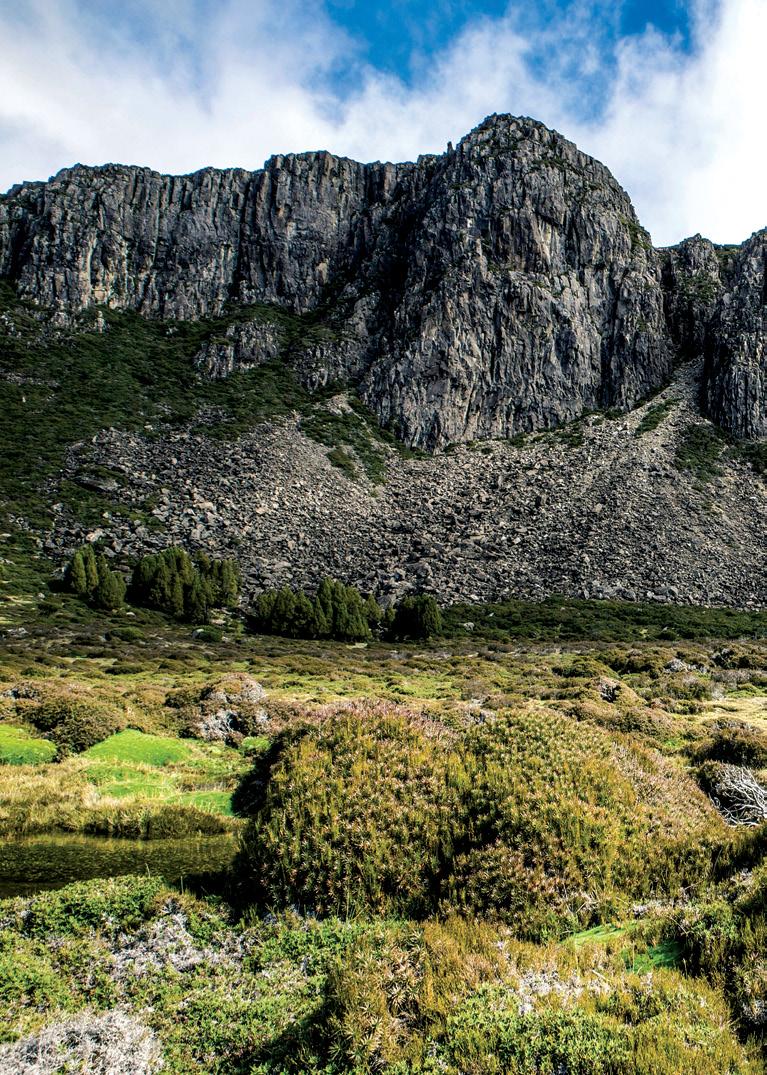
he Kaimāī Mamaku Conservation Park covers an area of approximately 37,000ha and features over 350 km of walking and tramping tracks. Kaimai means “to eat mussels.” Ancient Maori knew that once they crossed this range towards the coast, seafood would probably be on the menu! The net result was a series of three east-west trails that traverse the range (Te Tuhi, Wairere and Tuahu), later joined by a pakeha-instigated addition (Thompsons). Each can be completed in either direction in five to six hours. These crossings have considerable historical significance. Many famous feet have preceded you. The Te Tuhi Track is an old Maori route across the range. According to Maori tradition, it was named after Above: Wairere Stream - Mini falls before the Wairere Falls.
Te Tuhi (1823-1910), a prominent Maori chief of the Ngati Mahuta tribe of Waikato, a supporter of the Maori King movement in the 1850s. The track was probably developed after the defeat of the Kingite forces in the Waikato in 1864, as a short cut between the Piriakau at Whakamarama and their Ngati Haua friends and family at Okauia. The track was used more often in the late 19th century when hostilities between inland and coastal tribes, and the Hauhau uprisings, made travelling the Wairere Track more hazardous. After the establishment of a sawmill at Whakamarama by the Sharplin family in 1912, the Te Tuhi Track was used frequently by the Okauia people who were working at the mill. Many employees came to work via the Track. Sawn timber was shipped from Omokoroa to Auckland. It was
30 Walking New Zealand, issue no 281 - 2021
while carrying timber from here that the scow Moa was captured by the escaped German prisoner of war, Count von Luckner, during World War I. The mill closed in 1931, but Leyland and O’Brien took it over in 1933, continuing operations until 1946. In 1942, during the Second World War, the Army held jungle training exercises along the Te Tuhi Track. Trenches and fox holes made then, should not be mistaken for Maori fortifications. The area was re-logged by Ngahere Sawmills of Greerton from 1962, ceasing in 1975, when it became part of the park. The Wairere Track was a traditional route for Maori, linking Matamata with the Bay of Plenty. It was used occasionally by war parties and extensively for trading (mainly flax and pigs) between the tribes on each side of the range, and later with European traders at Tauranga.
.
By Phillip Donnell
www.walkingnewzealand.co.nz


