9 minute read
Fascinating Tales To Tell | There's Plenty Of History To Share As The Wisconsin State Park System Celebrates 125 Years


Joseph Warren and Andrea Zani
Joseph Warren is a program and policy analyst for the DNR’s Parks Bureau. Andrea Zani is managing editor of Wisconsin Natural Resources magazine.
If the hills and rivers and trees of the Wisconsin State Park System could talk, oh, the stories they might tell. People have been roaming these places for centuries, weaving narratives as rich as the landscapes themselves.
Our Wisconsin State Park System turns 125 this year! As part of the DNR’s ongoing celebrations, we’re sharing a few of the compelling backstories from some of our many properties.
Aztalan State Park
A little more than 1,000 years ago, a local indigenous community established its home along a remote segment of what we now call the Crawfish River, near Lake Mills. Around this same time, a distinctly different group of indigenous people left its Cahokia homeland near St. Louis and arrived here — for reasons that remain unclear.

Together, these two groups built a massively fortified town, at one time covering more than 35 acres, where they lived until the area was mysteriously abandoned about AD 1200.
This state park is now Wisconsin’s foremost archaeological site, preserving remains of the Mississippian town and a line of ceremonial mounds. It’s listed on the National Register of Historic Places and is a designated National Historic Landmark.
Bearskin State Trail
Rail service in northern Wisconsin initially served the logging industry, then expanded to passenger rail in the late 1800s. In early 1919, special weekend service from Chicago to Minocqua was introduced as “The Fisherman's Special,” carrying eager anglers north for the weekend to cast in the bountiful waters of the Northwoods.
Through the next decade, this passenger rail service increased considerably. The railway changed from a timber-hauling line to primarily a tourist and recreation line serving the expanding resort areas of Minocqua and Star Lake. This area was bustling — and the trains kept people coming!
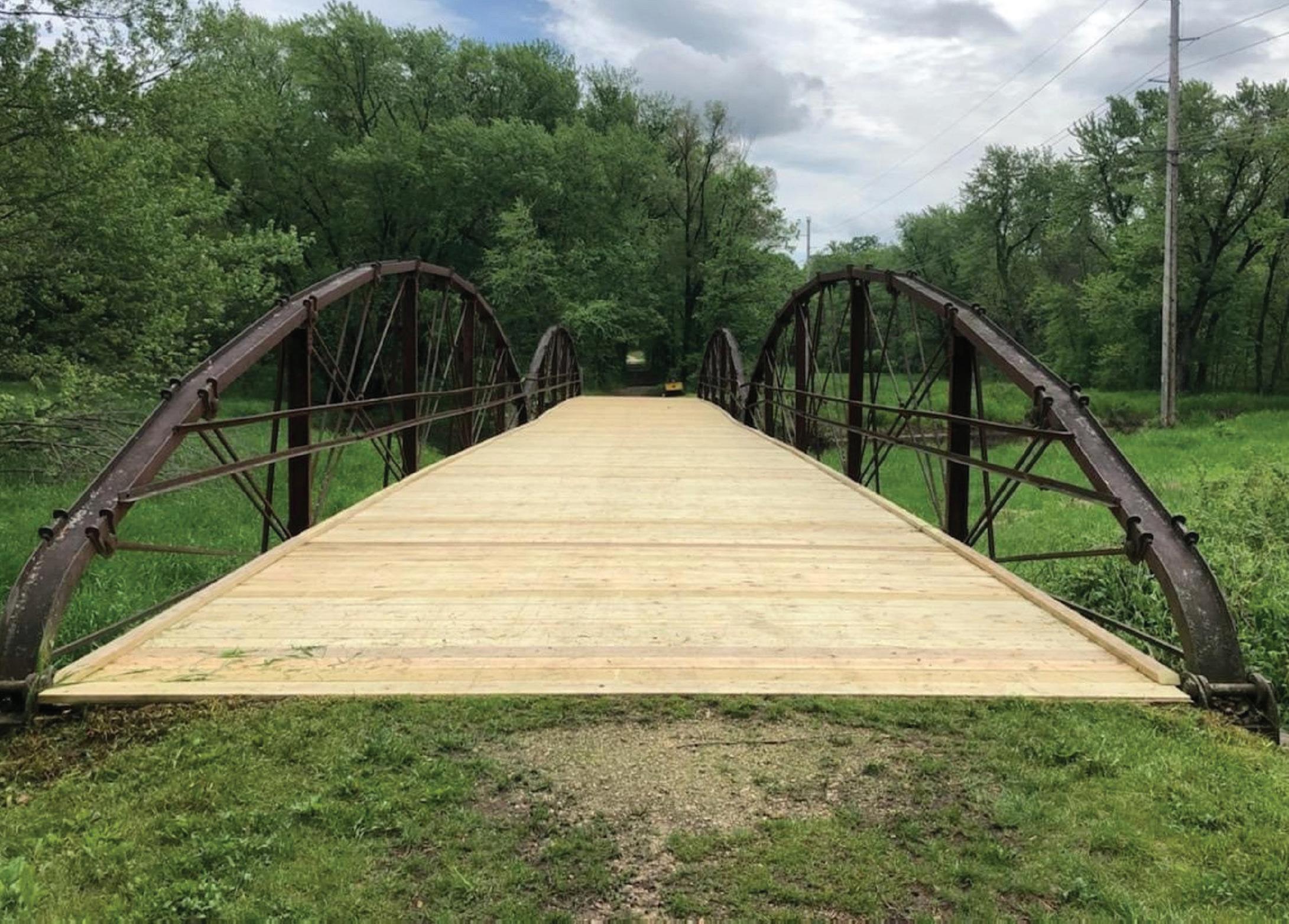
Weekend runs of The Fisherman’s Special continued until 1941, when the U.S. government asked railroads to stop all recreational trains to save fuel and materials for the war effort. The Bearskin State Trail now covers 21.5 miles along this historic rail corridor in Oneida County, between Minocqua and Tomahawk.
Havenwoods State Forest
In the early 1900s, Milwaukee County bought the farmland where the state forest is now located, building its new House of Correction on the spot. Prisoners worked the land, tended to livestock and even worked at an on-site chair factory, making pieces sold under the Granville Furniture Co. label.

In 1945, the U.S. Army seized the House of Correction for use as an Army Disciplinary Barracks, housing soldiers as well as German prisoners of war held on U.S. soil at the request of the overburdened British government.
After World War II, the Army constructed a Nike Ajax missile base here — one of eight Nike missile sites encircling Milwaukee to protect the city from potential long-range bombs. Today, the property serves as a public state recreation and education center in Wisconsin’s largest city.
Tower Hill State Park
The history of the park’s shot tower — used to make shotgun pellets by releasing droplets of hot lead that cooled and hardened as they fell — is but one of the fascinating tales of this park near Spring Green.

The park sits on the site of the 1800s village of Helena, built near the shot tower on the shores of the Wisconsin River. The village was torn down during the Black Hawk War, a conflict between U.S. forces and Native Americans, because the Army needed materials for rafts to carry soldiers and supplies across the river.
The village was later rebuilt and persisted until 1860. But when the railroad came to the area and bypassed the community, the village of Helena eventually ceased to exist.
Copper Falls State Park
Spectacular waterfalls greet today’s visitors to this picturesque state park in Ashland County, but the landscape didn’t always appear as it does now. Years ago, the waterfalls were altered by mining activities.
In the late 19th century, a mining crew on the hunt for copper began reshaping the landscape when they sank a nearly horizontal shaft into a hillside at the present-day park’s picnic grounds. But the shaft was constantly flooded by the swift-flowing Bad River, so in 1902 the mining crew diverted the stream by blasting through rock.
The stream’s course thus was shifted north of the present picnic area. The old riverbed remnant is still visible to the east of the concessions building.
As for the park’s many human-built features such as viewing overlooks, log shelters and stone pathways, walls and fences, many of these are in place thanks to the Civilian Conservation Corps, the federal project that put young men to work during the Great Depression.
Kettle Moraine State Forest
The first units of the Kettle Moraine State Forest were established in 1936 to provide recreation opportunities for a rapidly growing metropolitan area.

In the 1950s, Ray Zillmer envisioned extending the hiking trails within the forest for several hundred miles along the terminal moraine of the last continental glacier. This vision led to the creation of the Ice Age National Scenic Trail, which now traverses the entire state of Wisconsin for more than 1,000 miles from Interstate to Potawatomi state parks.
In 1870, Lapham Peak was known as Government Hill, and the U.S. Army Signal Corps used this highest point in Waukesha County for one of its original National Weather Service signal stations. Weather data from Pikes Peak, Colorado, was received here and relayed to the U.S. Weather Bureau headquarters in Chicago.
Increase Lapham, for whom the peak is named, was one of Wisconsin’s premier 19th-century scientists and recorded many weather observations here for his pioneering work in meteorology.
In the Southern Unit of the state forest, the pure spring water of the Paradise Springs area has attracted people for centuries and has an interesting history — from natural to developed and back again. In the early 20th century, water from the springs was bottled and sold under the names “Natural Spring Water” and “Lullaby Baby Drinking Water.”
The area was also once home to a horse track, shuffleboard and tennis courts, a golf course and the lavish Paradise Springs Resort Hotel. Remnants of these forgotten features are still visible along the Paradise Springs Nature Trail.
Richard Bong State Recreation Area
This southeast Wisconsin property was originally acquired by the federal government in the 1950s to be used as a jet fighter base to protect the Chicago and Milwaukee areas. Three days before concrete was to be poured for a 12,500-foot runway, plans for the base were abandoned and construction stopped.
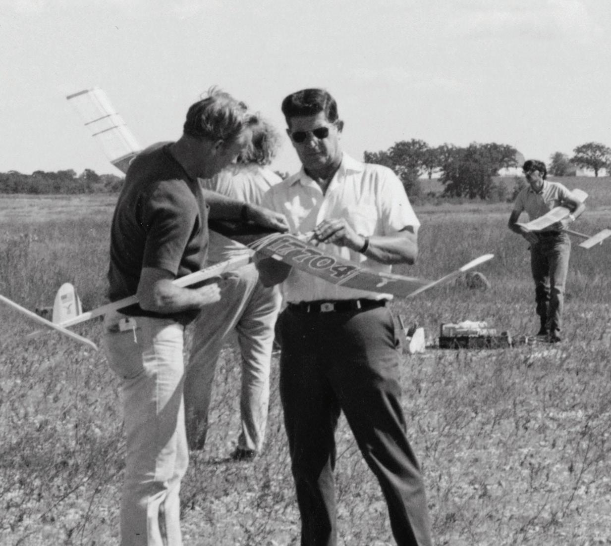
Eventually, the property was turned over to the state of Wisconsin for use as a public recreation space. Naming the location for World War II fighter pilot Richard Bong, a Wisconsin native, is a nod to its “what-might-have-been” jet fighter past.
New Glarus Woods State Park
Visitors to this park in southern Wisconsin might literally be following in the footsteps of people who lived thousands of years ago. Native Americans who lived and traveled through this area had many paths that ran along ridgetops, with one of their heavily used trails running through these woodlands.
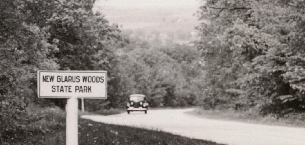
The path was gradually widened, and European settlers in the 1830s used it to haul ox carts carrying lead ore from the town of Exeter to Mineral Point and Galena, Illinois. The path became known as the “Old Lead Road” and was part of the first network of roads to link the Mississippi River to Lake Michigan.
This historic route still runs through the state park, as County Highway NN.
Rock Island State Park
Before railroads and highways, Great Lakes steamships brought many settlers from Europe to what’s now Door County. Without modern technology like radar or GPS, travel near the rocky coast was unpredictable and dangerous.
Enter lighthouses, with bright beacons to guide ships safely on their journey.
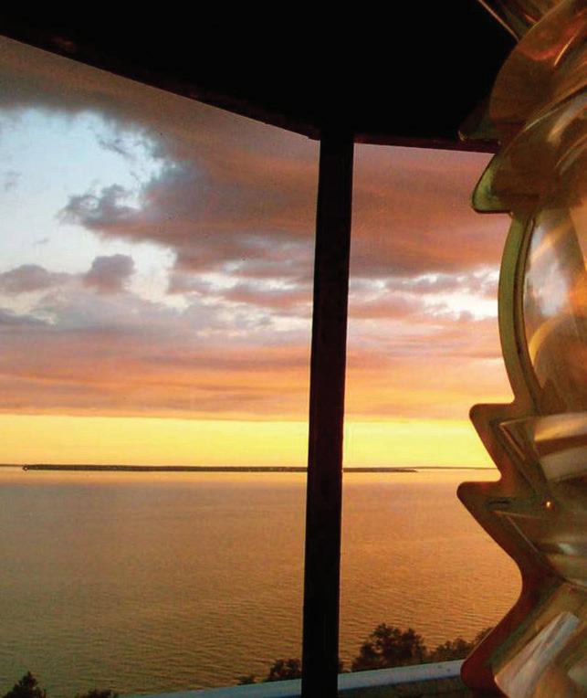
Rock Island, off the northern tip of Door County, is home to the first lighthouse built in Wisconsin. It began operation in 1836, before Wisconsin was even a state, after shipowners petitioned Congress and the government to set aside land for a light.
In 1858, Rock Island’s original lighthouse building was demolished and replaced with the Pottawatomie Lighthouse, whose shining light could be seen for more than 16 miles. Perched high atop a bluff on the northern tip of the island, the lighthouse still stands today, open to visitors in Wisconsin’s warmer months.
Learn More
Check the DNR's Wisconsin State Parks webpage for everything you need to visit the Wisconsin State Park System. And check out issues of this magazine all year long for more on the park system’s 125th anniversary celebration.