

Eakins Oval, Philadelphia, PA Grand vs. Civic, Pool, Pubilc Space
Landscape Studio 701, Fall 2023
Landscape Studio 602, Spring 2023
PROVOCATIVE HABITATS TOUCH, FEEL, ADMIRE
Hagley Museum, Brandywine Creek, Wilmington, DE History, River, Dams
Landscape Studio 601, Fall 2022
SHIFTING LAKES
Duobao sand mountain, Poyang Lake, Jiangxi, China Restoration, Birds, Artificial lake, Eco-islands
Individual work, 2021
Barbuda, Antigua and Barbuda Conspiracy, Disater capitalism, Hurricane, Simulation Bartram's Garden, Philadelphia, PA Wildlife, Habitat, Waste
BEYOND THE HURRICANE: A VIRTUAL TALE
Landscape Studio 702, Spring 2024
DIGITAL & HANDDRAW ANALOG
Professional Work
Material Study
Media: Dynamic Diagrams
Urban Design: Vocanic Eruption Shelter
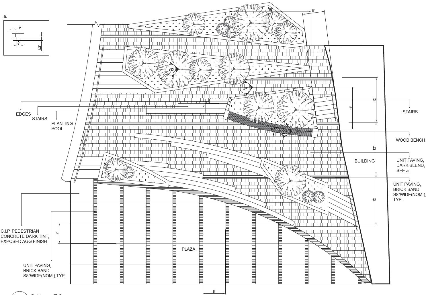
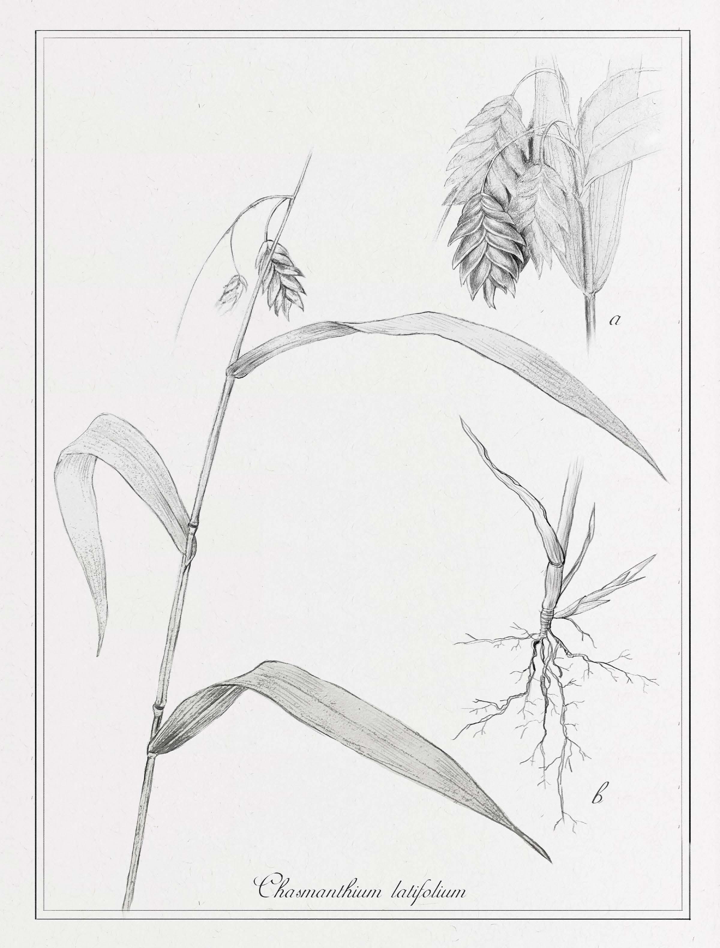
Workshop: Advanced Landscape Construction Plant Drawings: Seaoats Baywatch: Mediated Environments

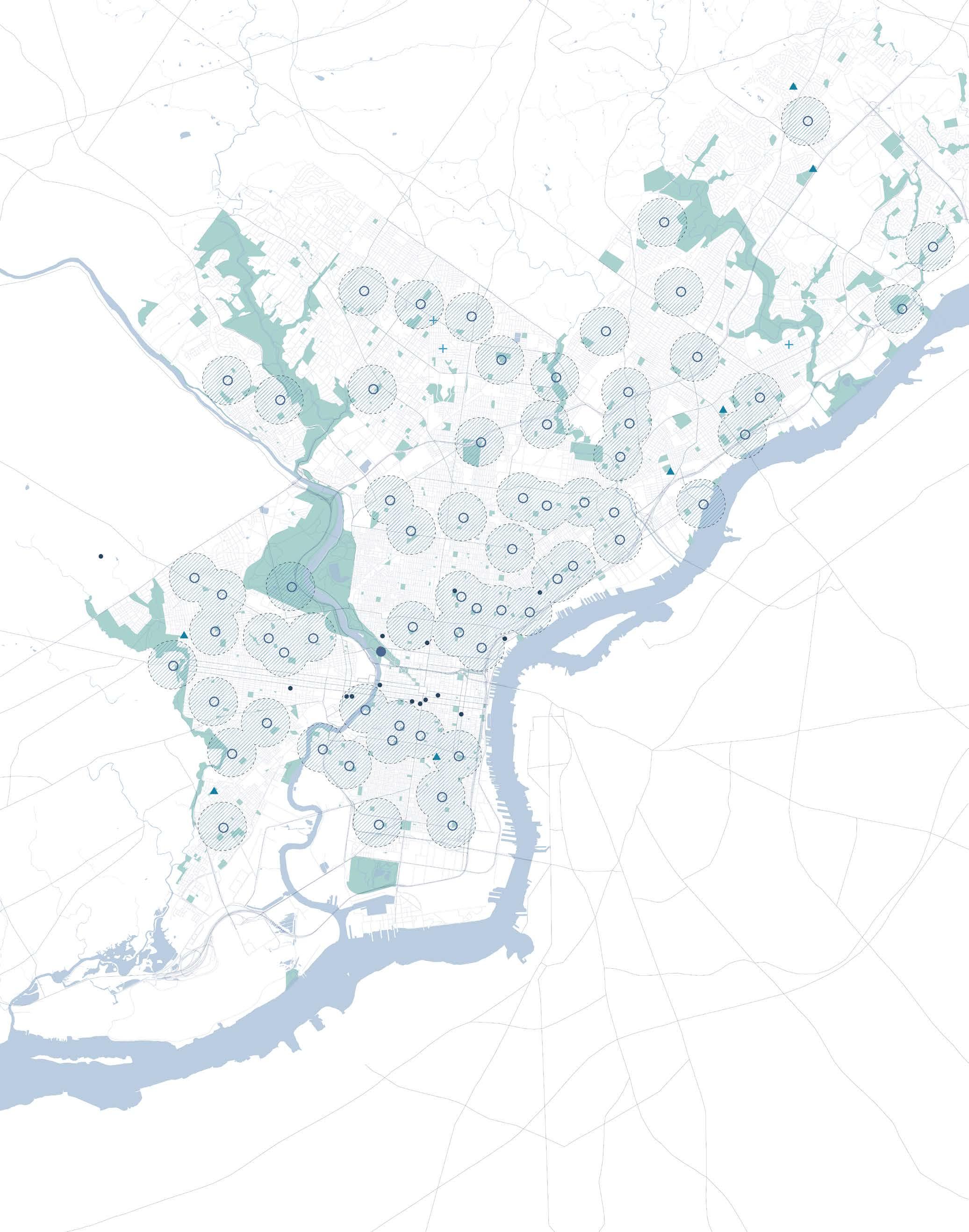
Eakins Oval, Philadelphia, PA
Grand vs. Civic, Pool, Pubilc Space
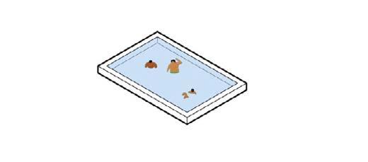
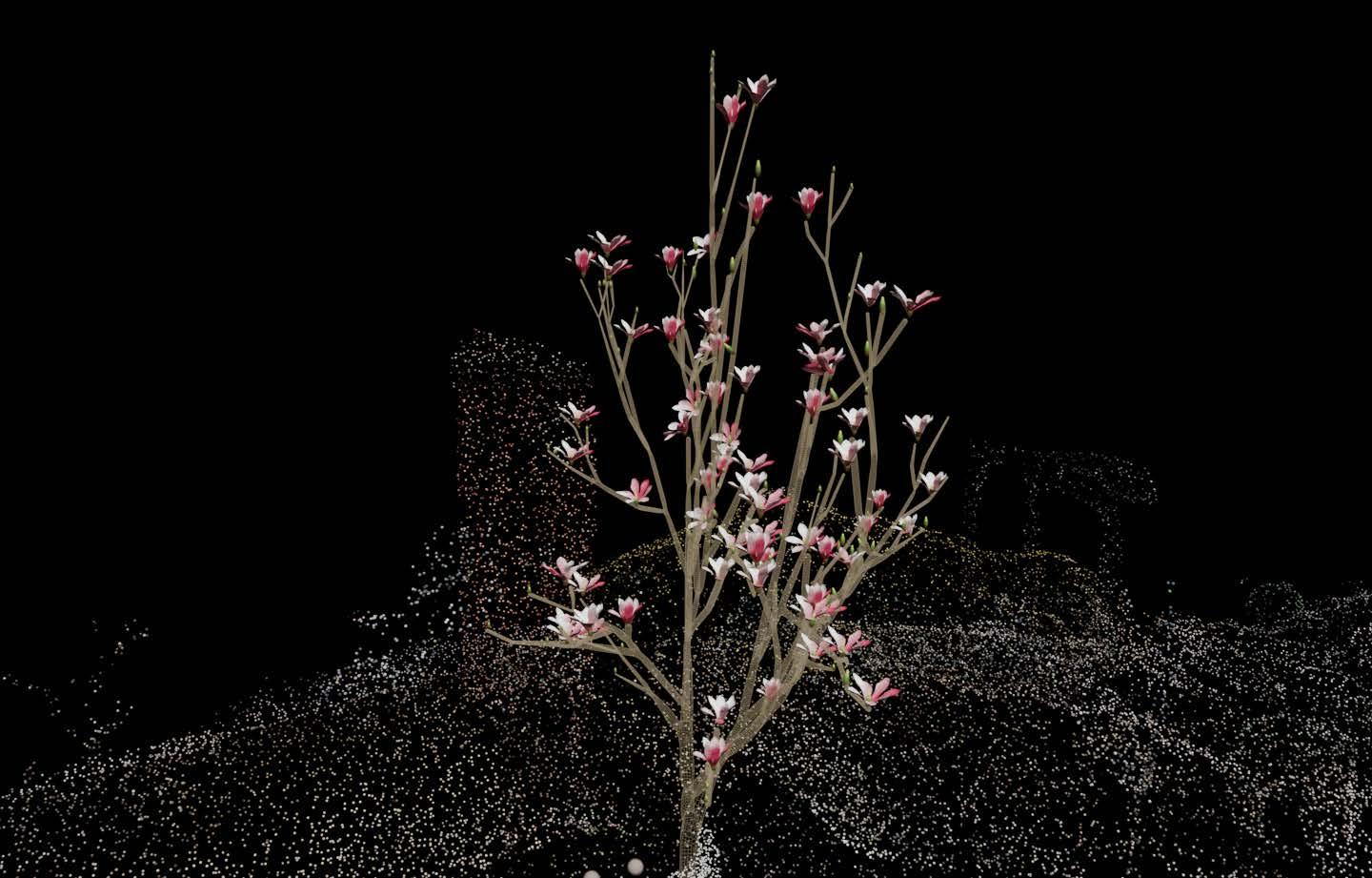
Working-class Neighborhood

Private Pools in Wealthy Neighborhoods Public Pools in Poor Neighborhoods

Working-class Neighborhood & Middle-class Neighborhood

Private Pools in Wealthy Neighborhoods
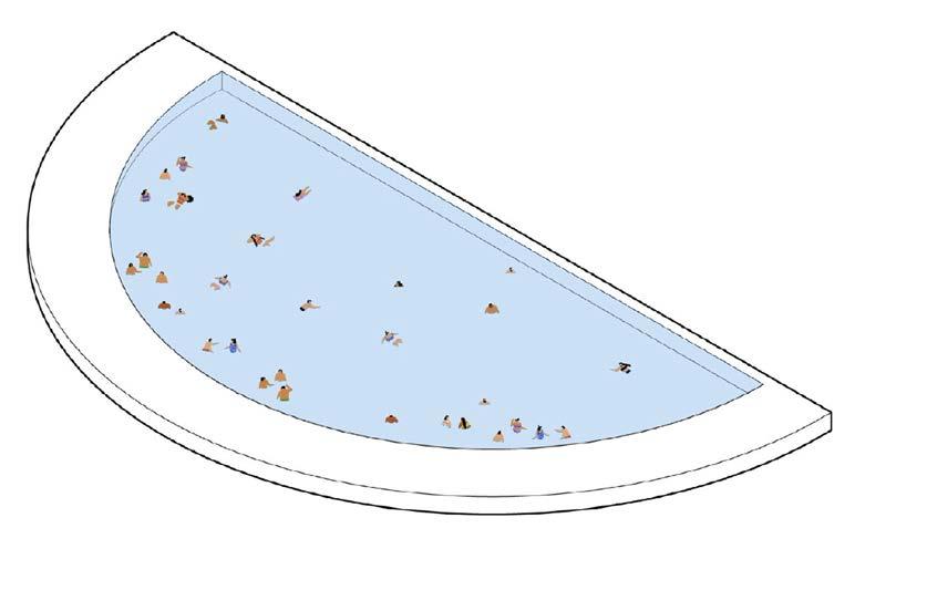
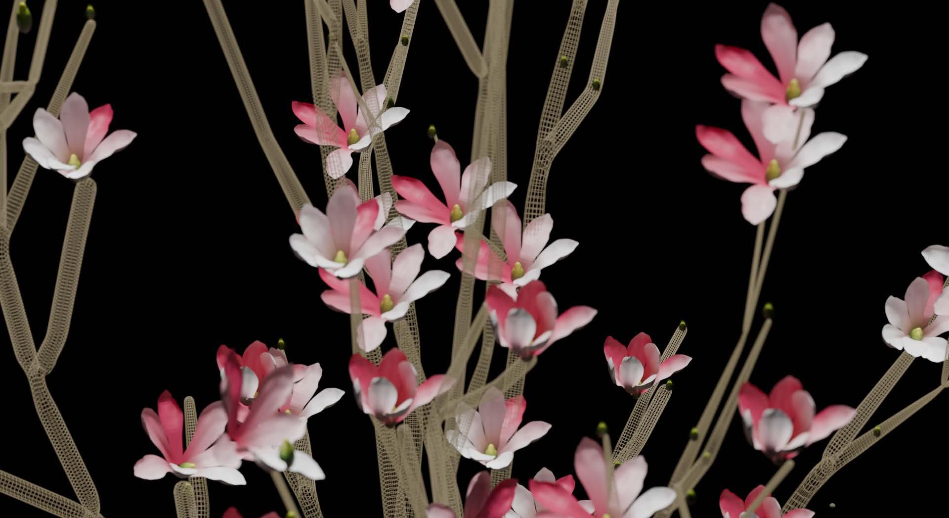
1920s
Large Parks in City Center
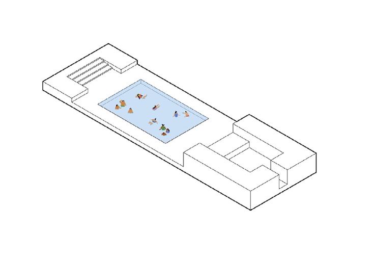
Park
The purpose of City Beautiful Movement was to create grand space to advocate democracy and enhance all background people’s living condition. But during that period, civic moves that focused on people’s daily life was also included. Pool was one of the most popular place at that time.
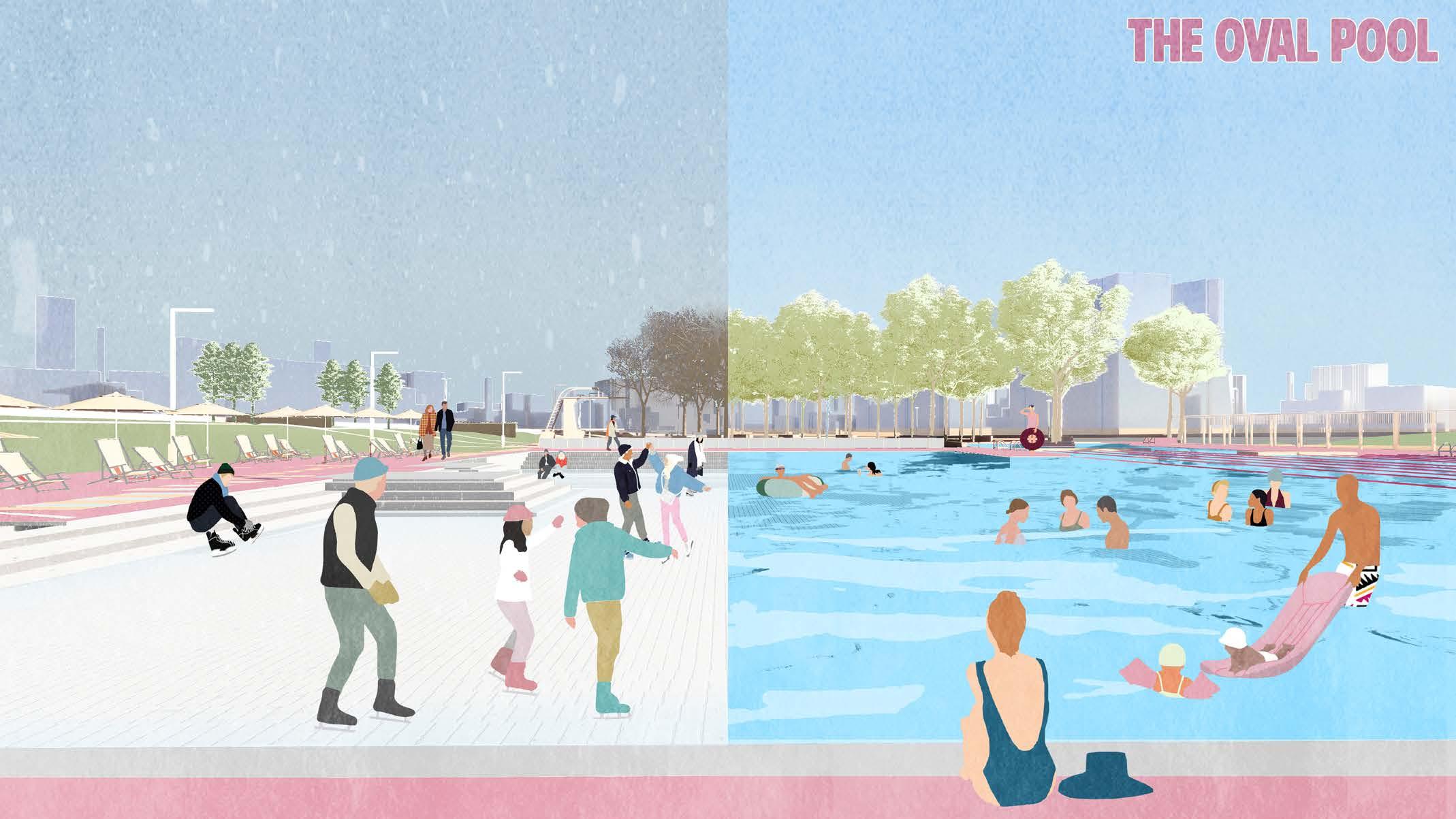
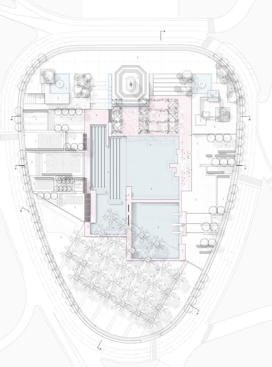
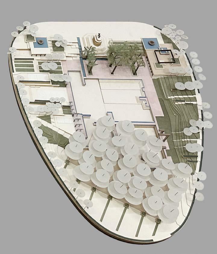
The design purpose is not just to build a pool itself, but to create a public space with dynamic surface, that both tourists and residents can share the space in every season.
 Washington Monument Fountain
Amphitheater Steel Forest
The falling line
The Pool Cafe
Locker Room
“Beach” Lawn
Playground
Central Pool
 Diving Boards
Sport Gardens
The Grove
Pool




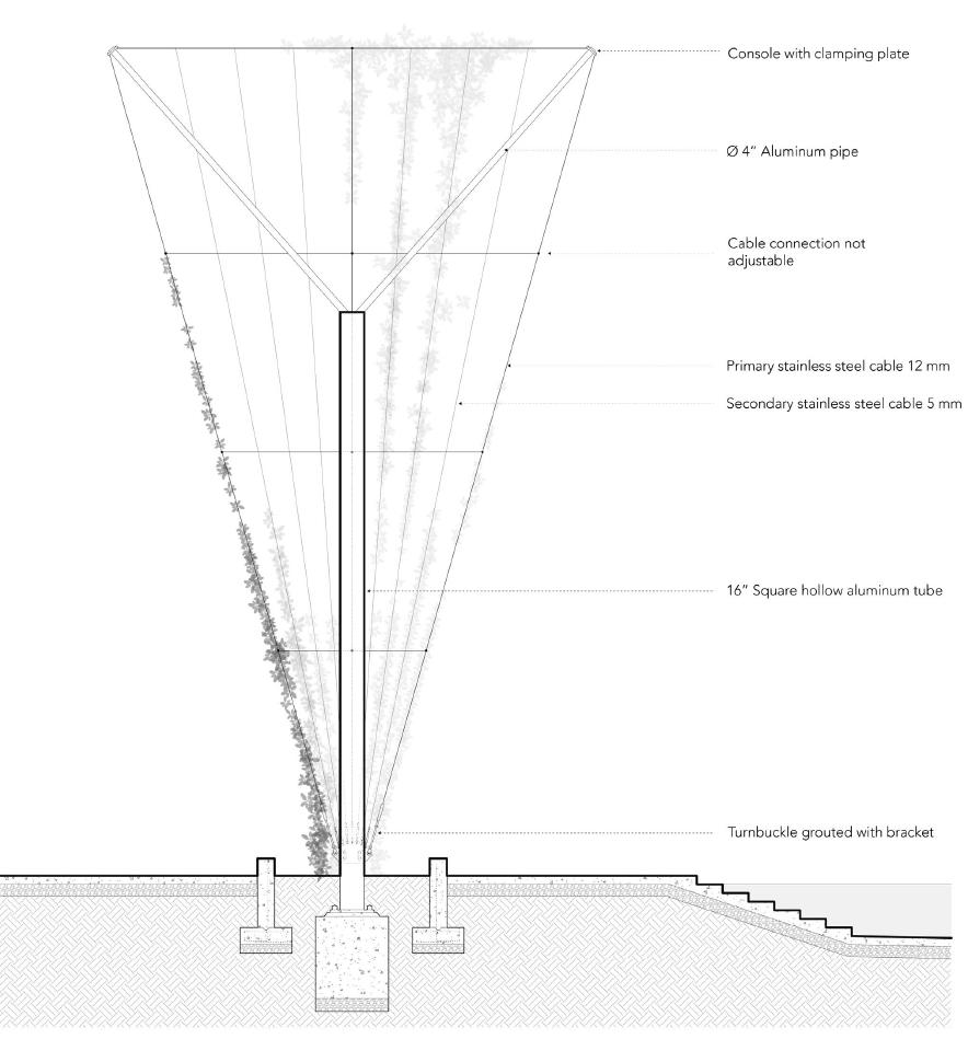
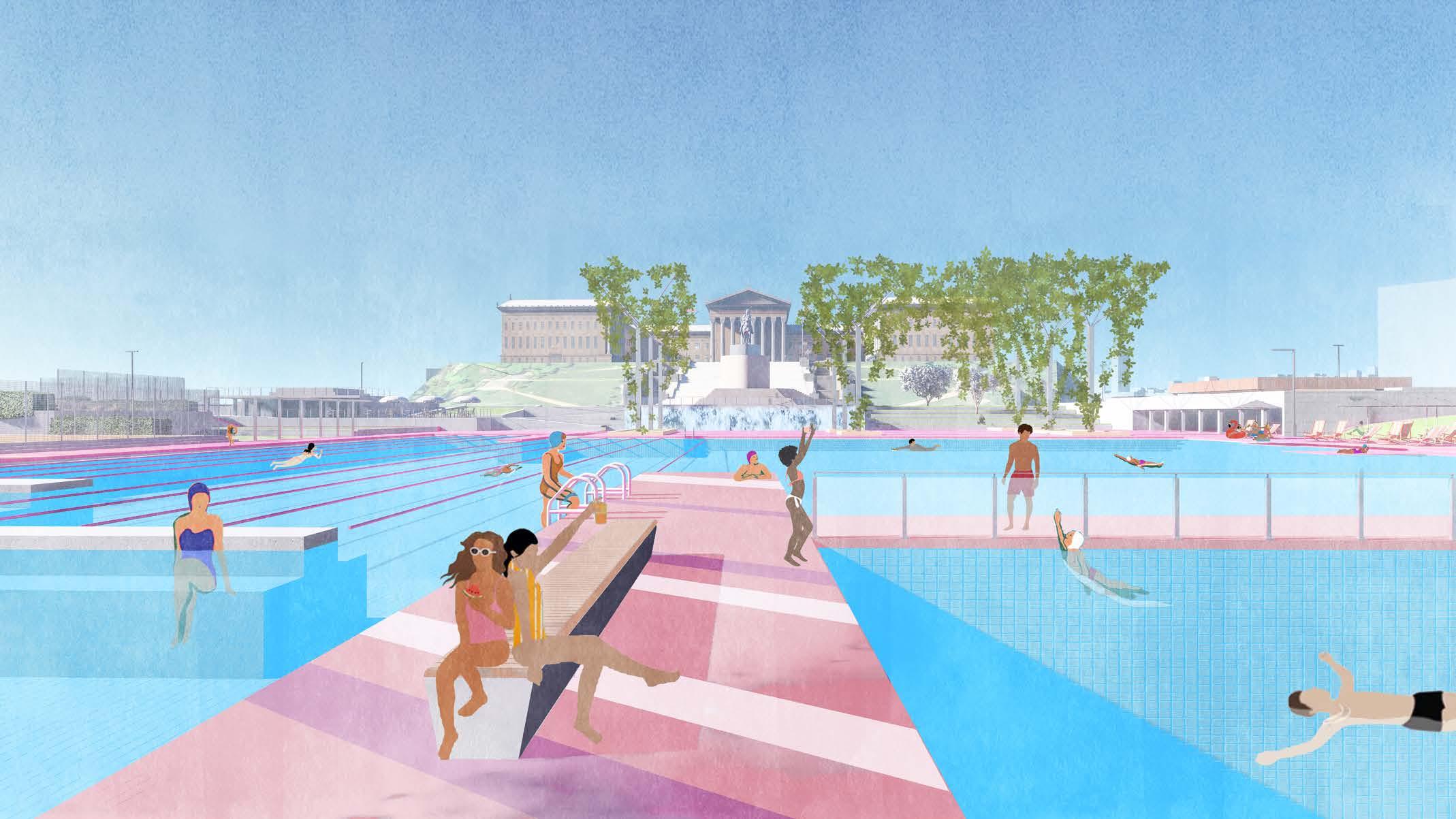


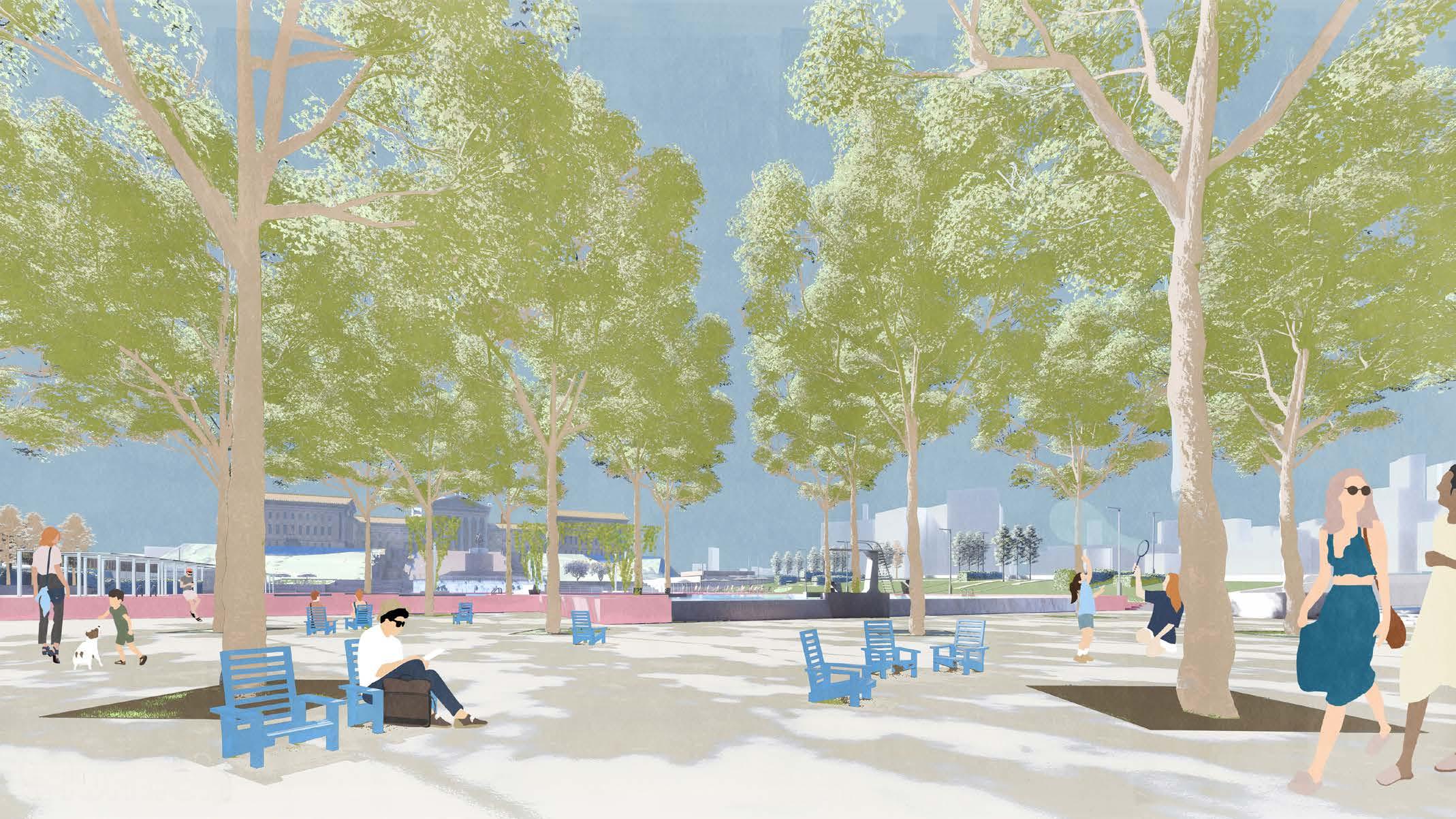

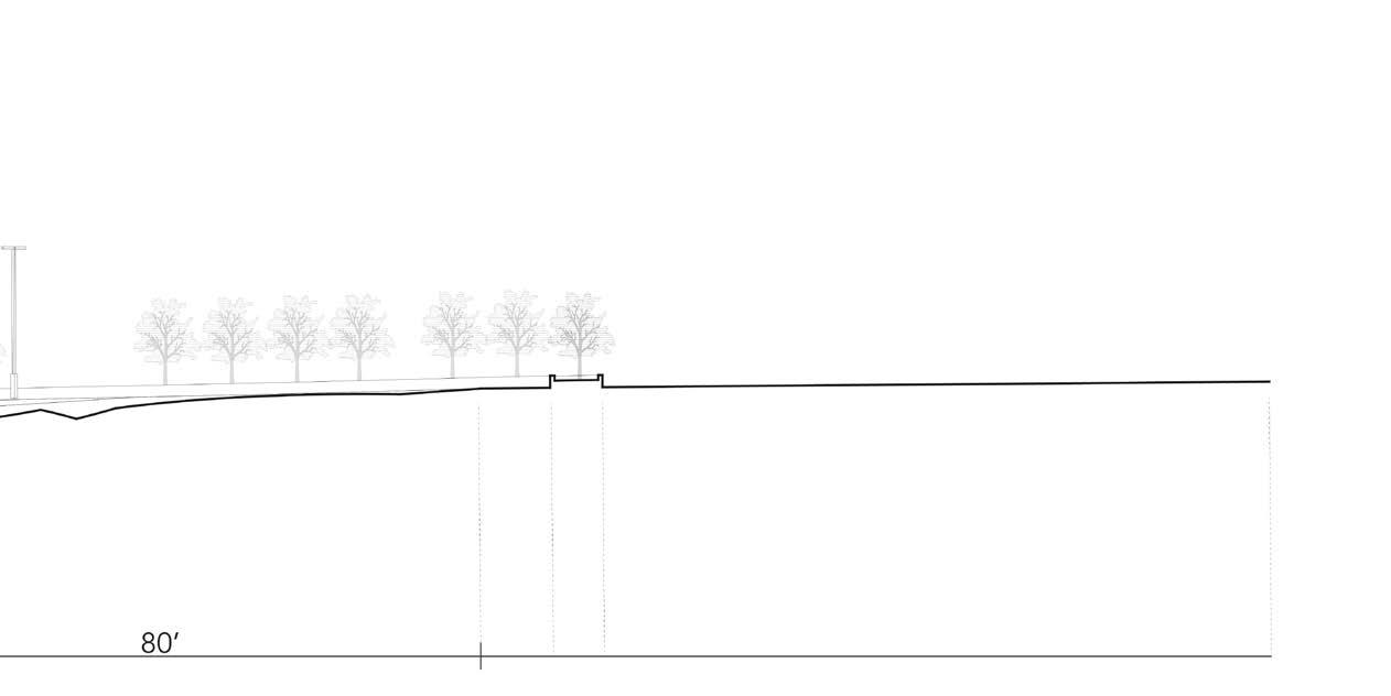
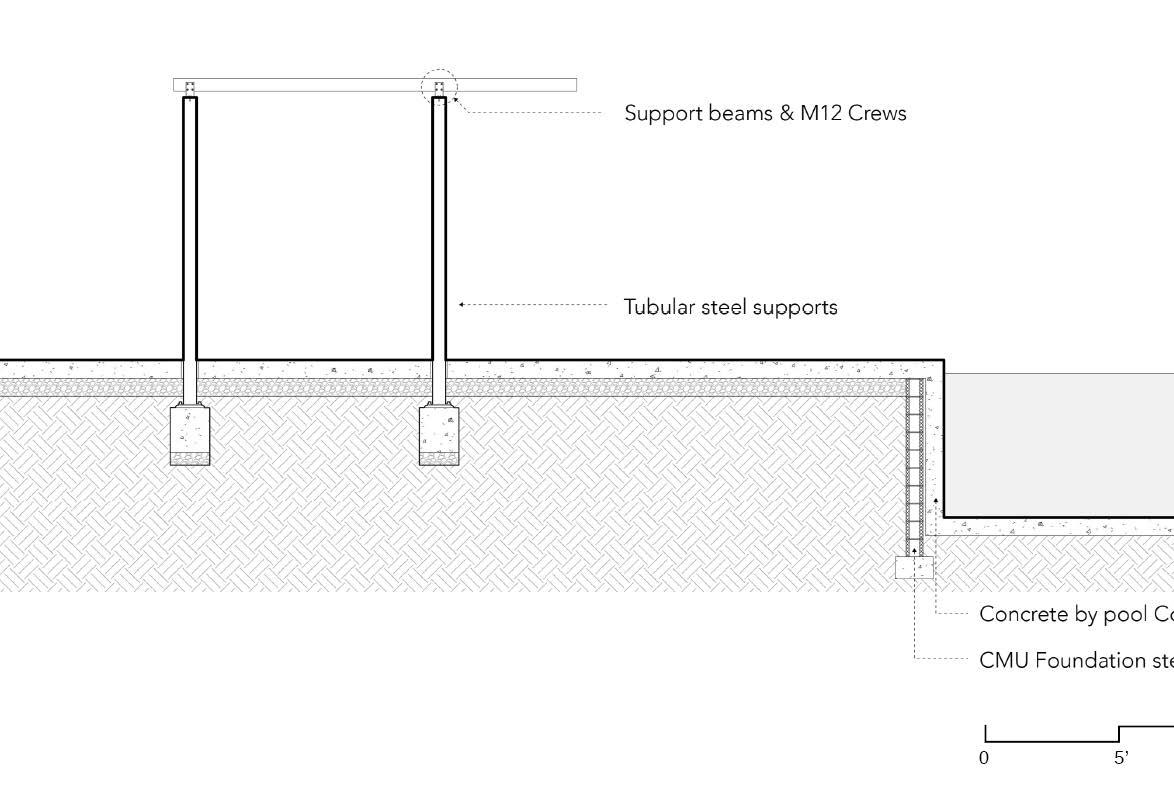
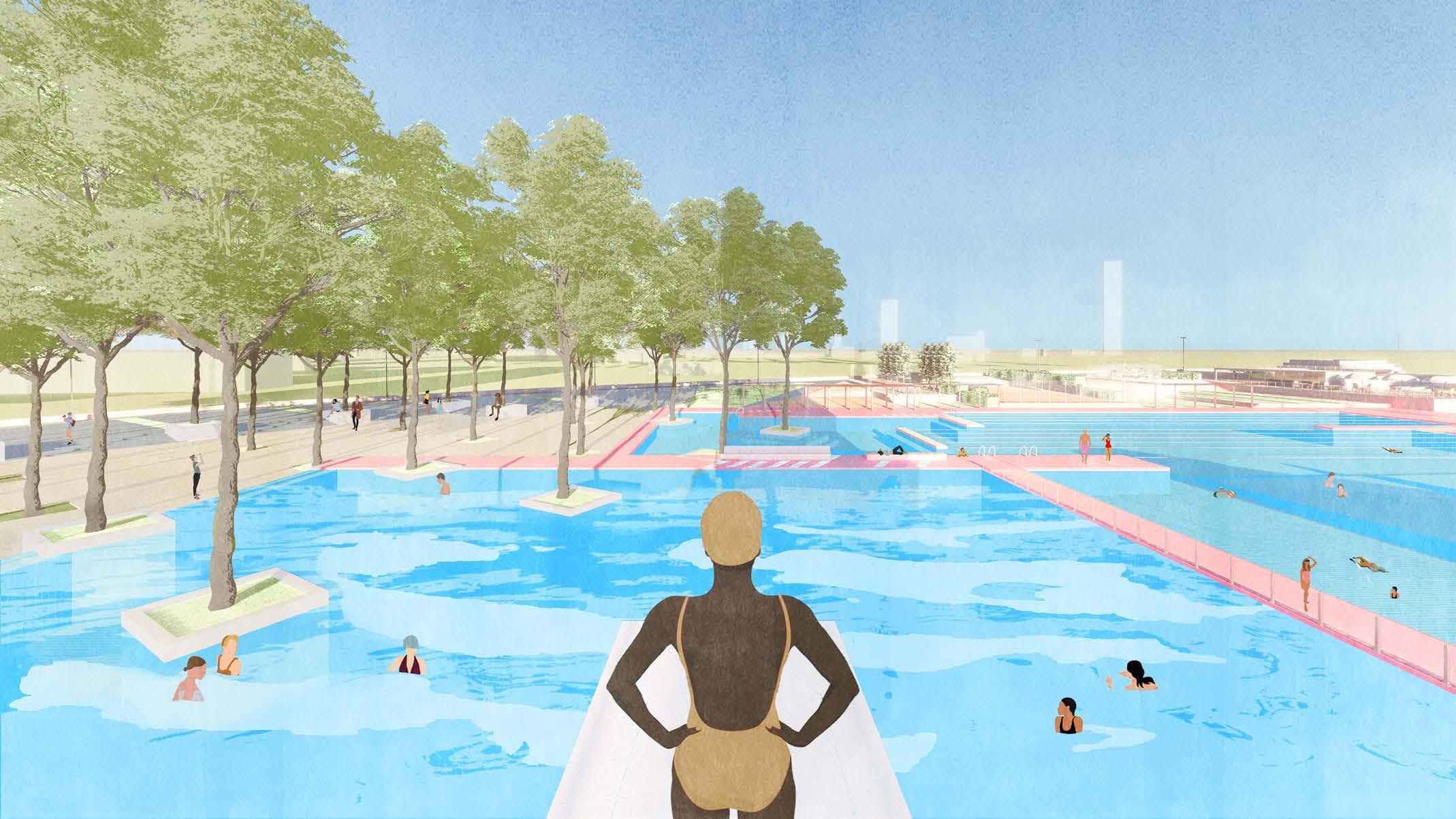
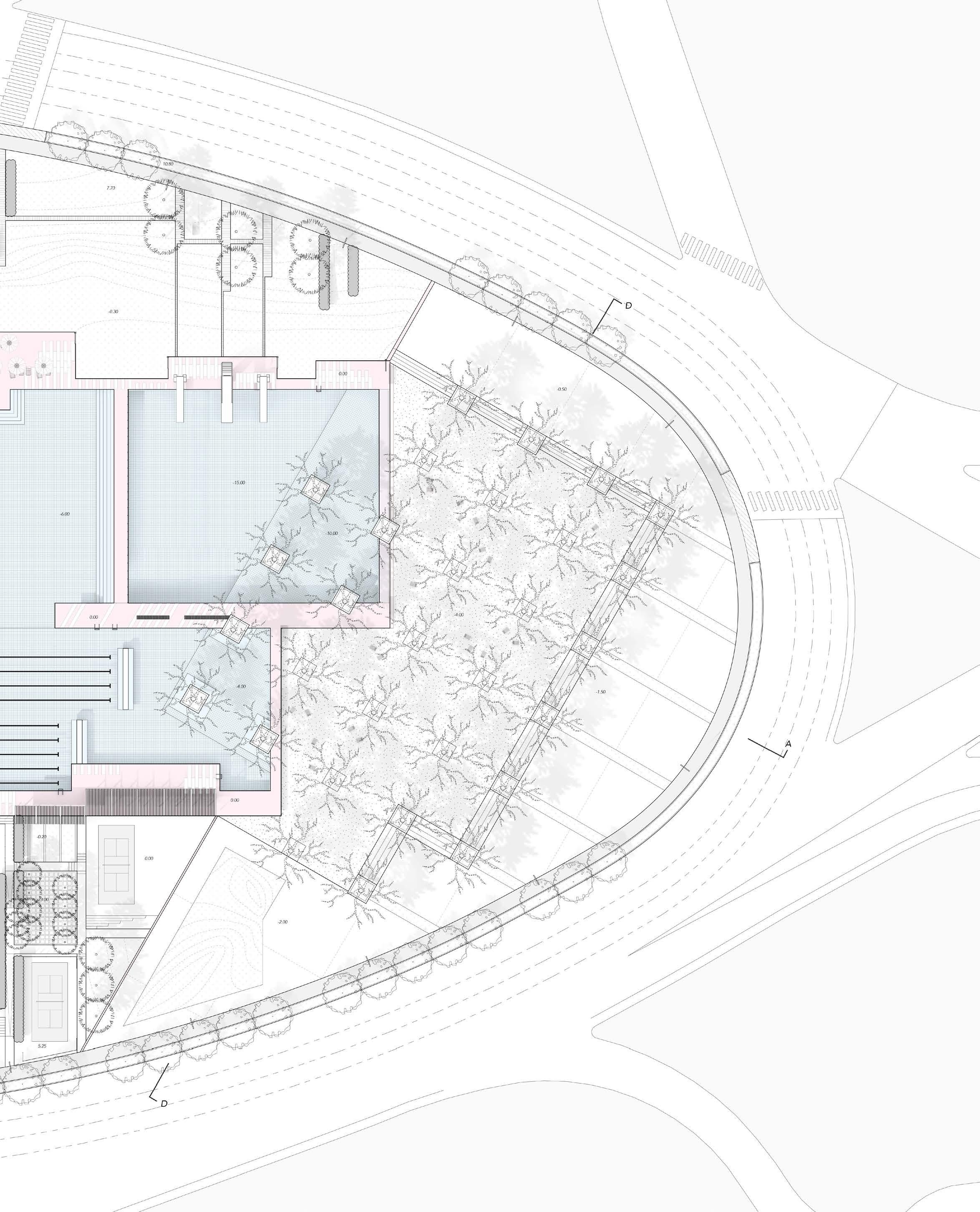
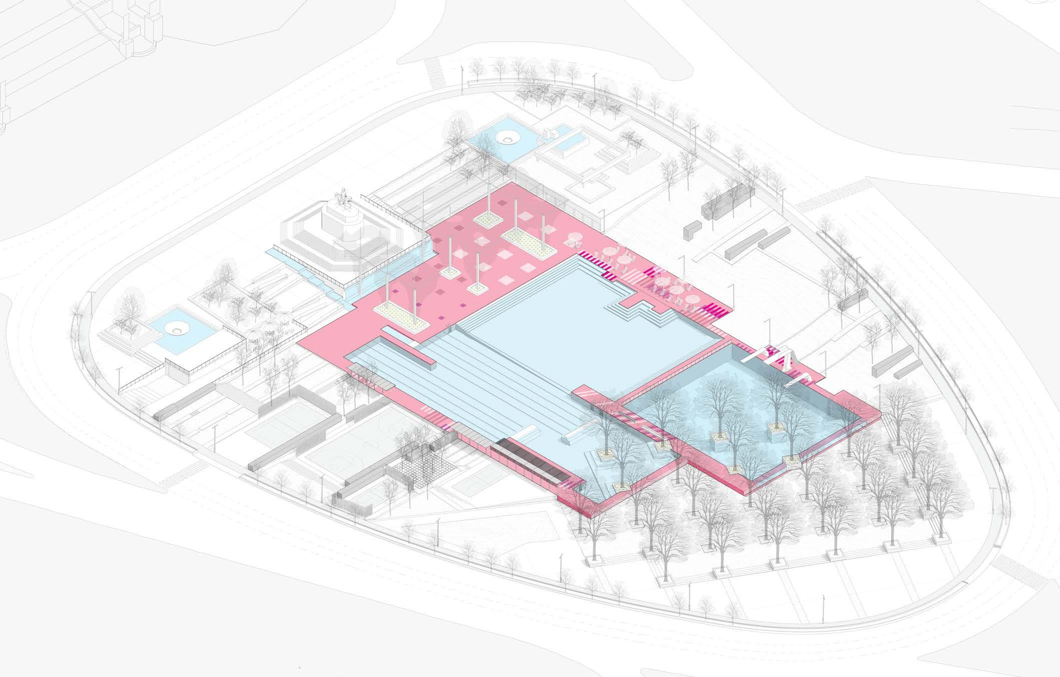
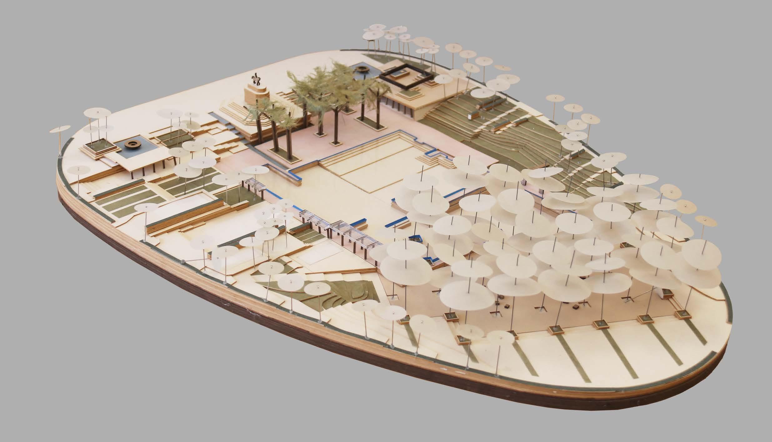
Pool is not just a water pond, things happen around it. Zoom into the most important area, the deck, it create a loop that programmed with activities. The activities around the deck change according to the zone: the centered swimming pool, the monumental plaza, the lawn, the sport garden, and the grove.
By using regular geometry, the design rethinks classical Modernist landscapes. The language changes from rectangle to bars then to gird. It is also changing the pattern of planting.
Rectangles Bars Points
Geometry
Planting
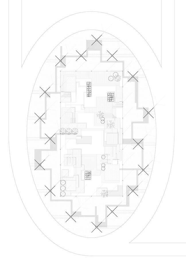

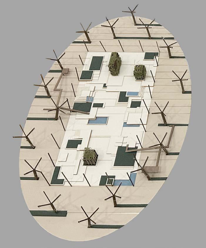

 Model 1
Model 2
Model 3
Bartram's Garden, Philadelphia, PA
Wildlife, Habitat, Waste
Landscape Studio 602, Spring 2023
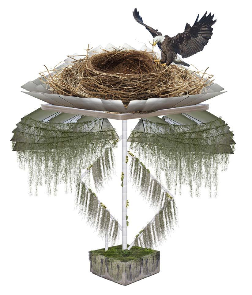
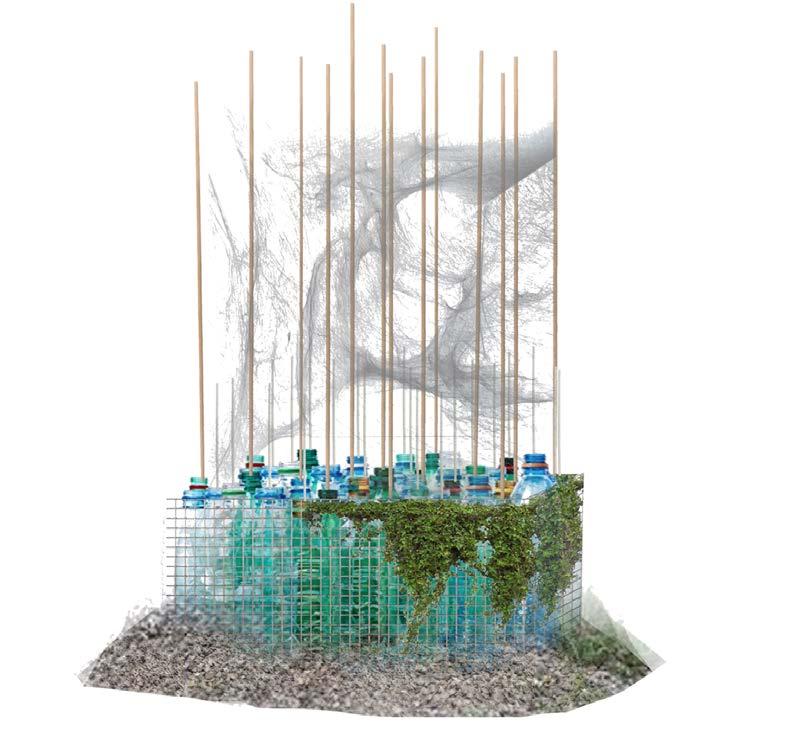
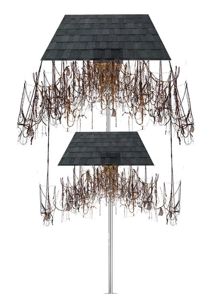
Provocative Habitats puts a spin on the traditional waterfront park. Weaving together repurposed waste material and habitat creation along with supportive civic and industrial sectors.. The project purpose is to connect environmentally adapted waste to people through dual education, translative experience, and unconventional display all of which are nestled into a series of system.

Repurposed steelbase
Upcycled steel sheets
Recycled PVC piping with steel reinforcements
Repurposed concretebase
Wire

Recycled shingles
Repurposed textiles
Refurbished wood andwire
Recycled steel pole

4

Rags
Recycled wood
Gravels
1 Steel Tree 3 Misty Skyscraper 2 Roosting Lantern Falling Umbrella Eagle nests are typically 4-6 feet wide and 3 feet deep but can be much larger. Butterflies require shelter from the weather. Yellow garden spiders often build webs in areas adjacent to open sunny fields. Webs are around at least 15 cm from the ground. A single chamber bat house can hold 50 bats, although only requiring 24 x 14 inches of space. Recycled steel Wood/Plastic scraps Glass/Plastic bottles Gravels and sand
The porpose is to:1. Served as a space of habitat forspecies, 2. Repurpose waste material in a way that could be long lasting and impactful, while also 3. Connecting the community to the site and future development proposals that would happen along the riverfront.
Central site channel with dual function
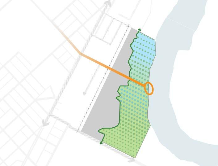
Supply community with green skills and experience to return with and apply
The Big Waterfront Park

Intersection 2: Connecting community to waterfront development
Bring surrounding neighborhood to the waterfront through education
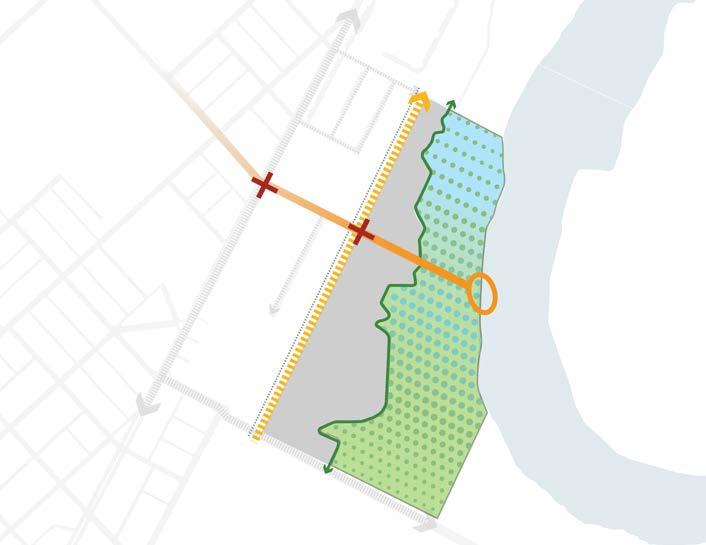
Intersection 1: Connecting community, material, and nature
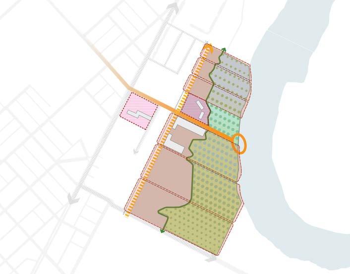
As production flourishes and systems expand, a block system is developed

Tying into existing community block structure
Industry expands allowing for processing of not just community waste but regional waste
Wall skins to be developed at ReAssembly Center

S 58th St
STORMWATER BASIN
Intersection 1
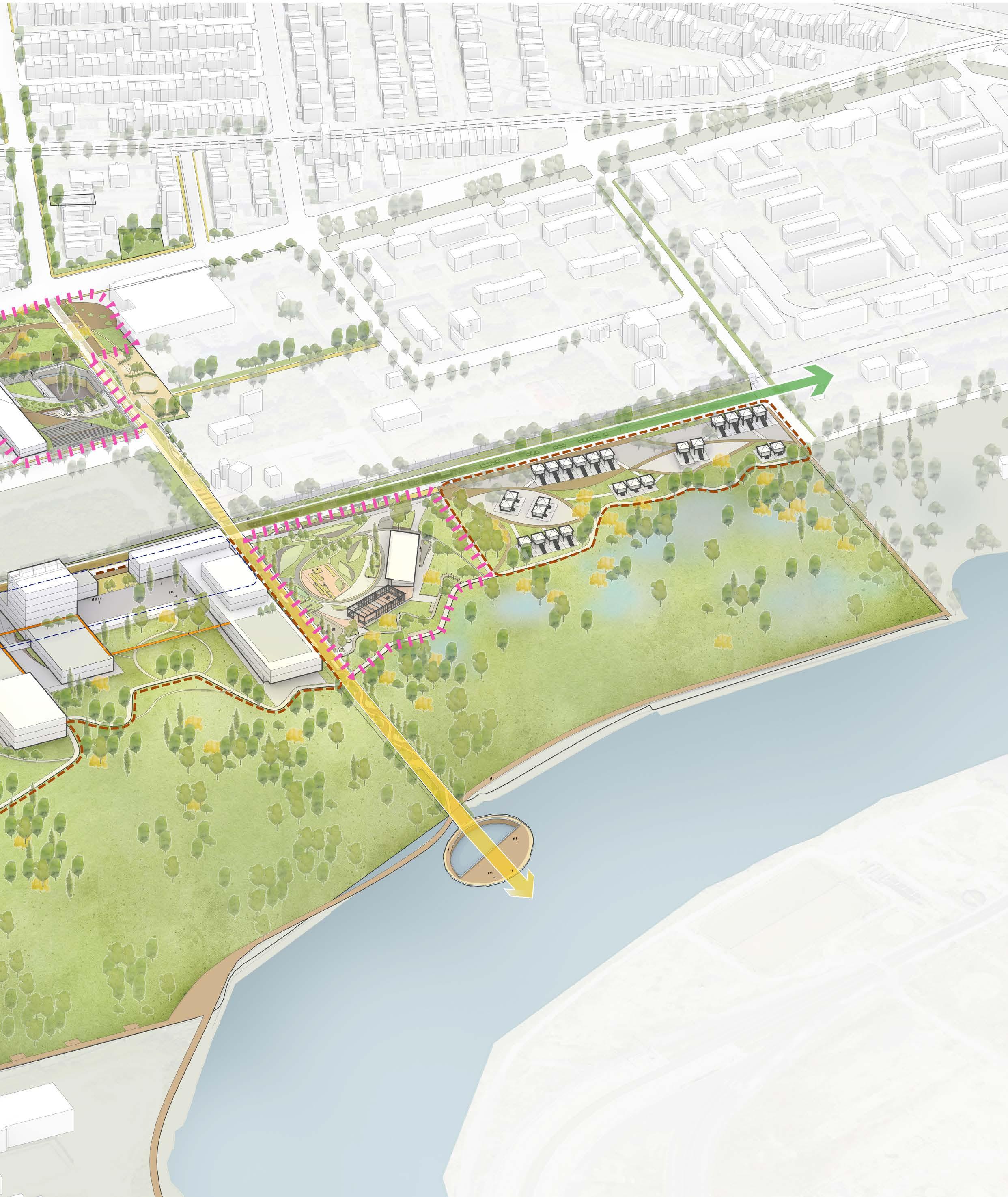
SKYWALK
Grays Ave
NATURAL PLAYGROUND
CONSERVATION AREA: URBAN FOREST
Intersection 2
ENVIRONMENTAL EXPERIMENTATION STATION
RECYCLE GARDEN
RE-ASSEMBLY LINE
RESIDENTIAL EXPANSION
CENTRAL WALK
CONSERVATION AREA - WETLAND
FLOATING PLATFORM
Hagley Museum, Brandywine Creek, Wilmington, DE
History, River, Dams
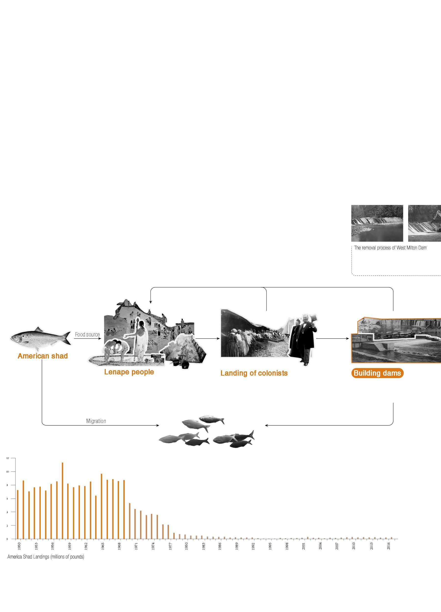
The development of the dam can be divided into three phases. The first phase, was the period when the colonists first entered the area, as the setting of the dam affected American shad, Lenape’s food source. This eventually led to Lenape leaving the land. The second phase was the period when the region was building mills that supported mainly cotton manufacturing but also paper, flour, gunpowder, leather and machinery manufacturing. The mouth of the Brandywine River near the end of the fall line allowed ships to sail directly to the mills. At this stage, the river’s water power was used extensively. By the third stage, the use of hydroelectric power in the area was gradually eliminated and some organi zations began to advocate the removal of useless dams.
Once work begins to remove many small dams, deconstruction continues until the dam is gone.
The Lenape people protested that despite their granted rights to fishing the river, they were being starved. The governor promised to prosecute the dam builders, but nothing was done. In 1757, the Lenape left the Brandywine Valley permanently
Since colonists built the first dams on the Brandywine River in the early 1700’s, dams along the Brandywine led to the transformation of manufacturing.
colonists built dams
When on the river, shad could no longer pass upstream. By the early 1800’s, colonists crowded mills around the Brandywine’s dams and millraces.An organization called Brandywine Shad 2020 advocated restoring the region’s most historic fish, the American Shad, to the Brandywine River by the year 2020 by returning the river to its free-flowing, pre-colonial state.

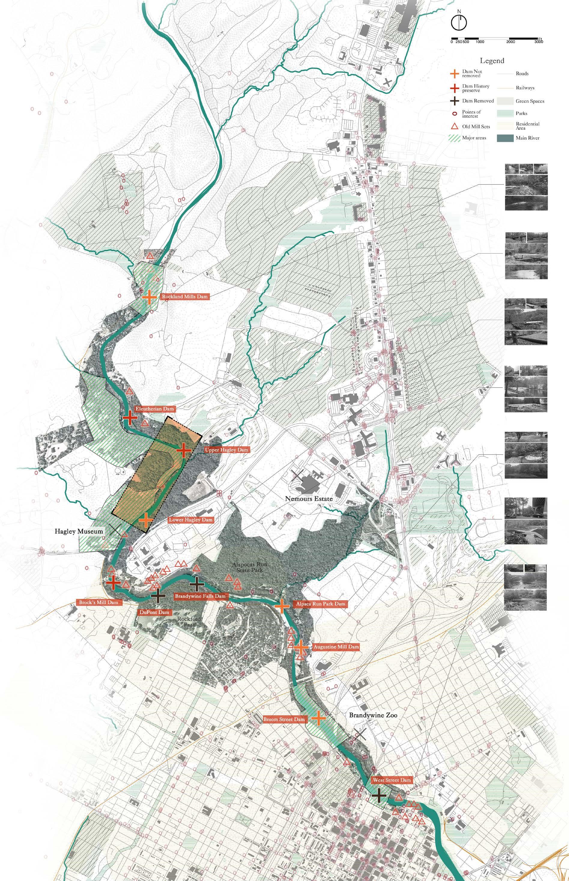
Some dams cannot be removed because of the complexity of their property rights and because they have historical significance.
It is clearly that retaining the dams will keep its historical value and create special water conditions which may create some habitats and cultural spaces, and removing the dams would undoubtedly re-establish fish migratory pathways and provide more recreational opportunities for residents.
A dam is not just guiding water system, but also shaping people’s activities around. As a result, the dam is no longer an abandoned infrastructure, it has become a landmark and a place of significance.


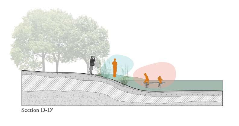
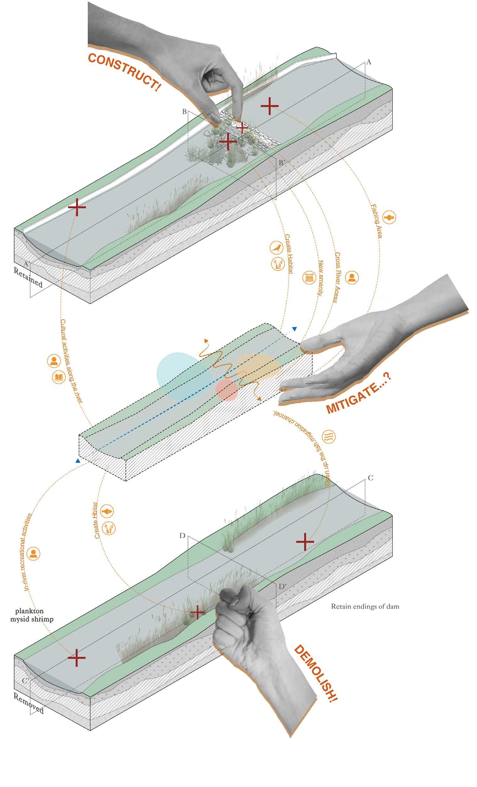
However, to construct or to demolish, both these two methods maximize the human interference.It is important to carefully assess the value of these dams, because once they were demolished, there is no chance we can bring the old dam (and the inner memory) back. And for the demolishing, is there a systematic design solution to minimize the harmness both to the environment and to the valuable memories?
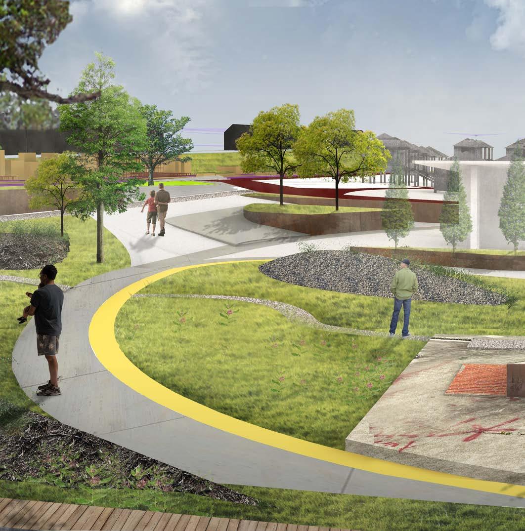
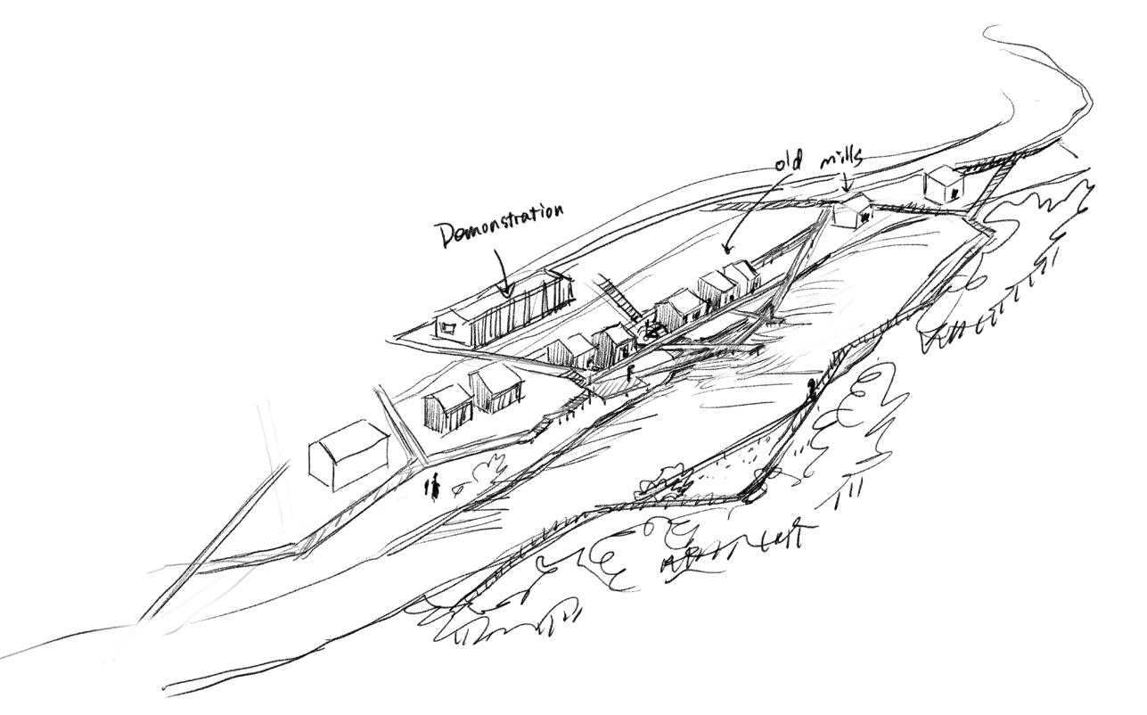
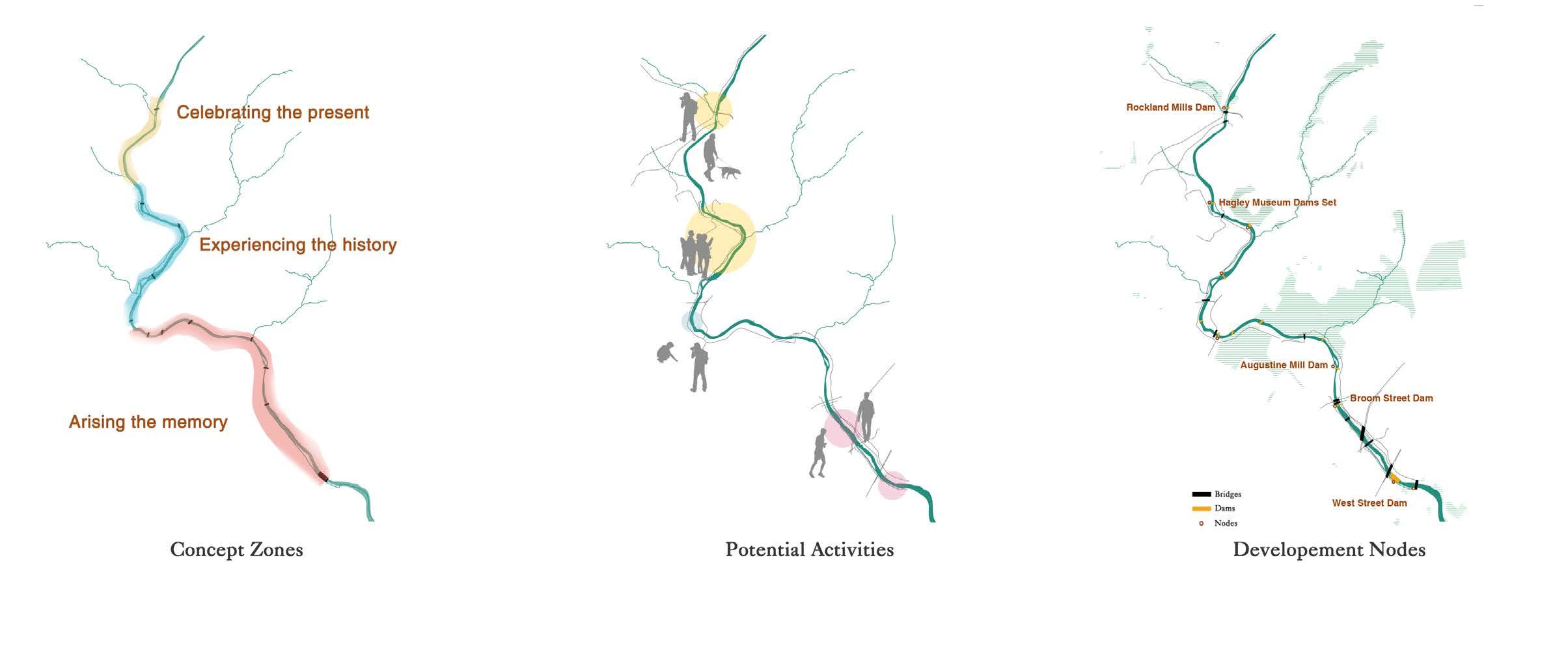
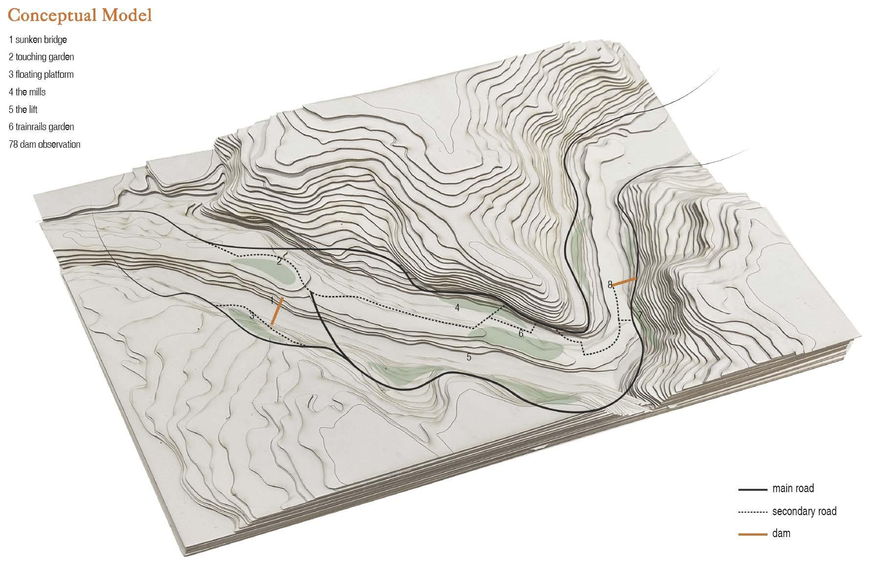
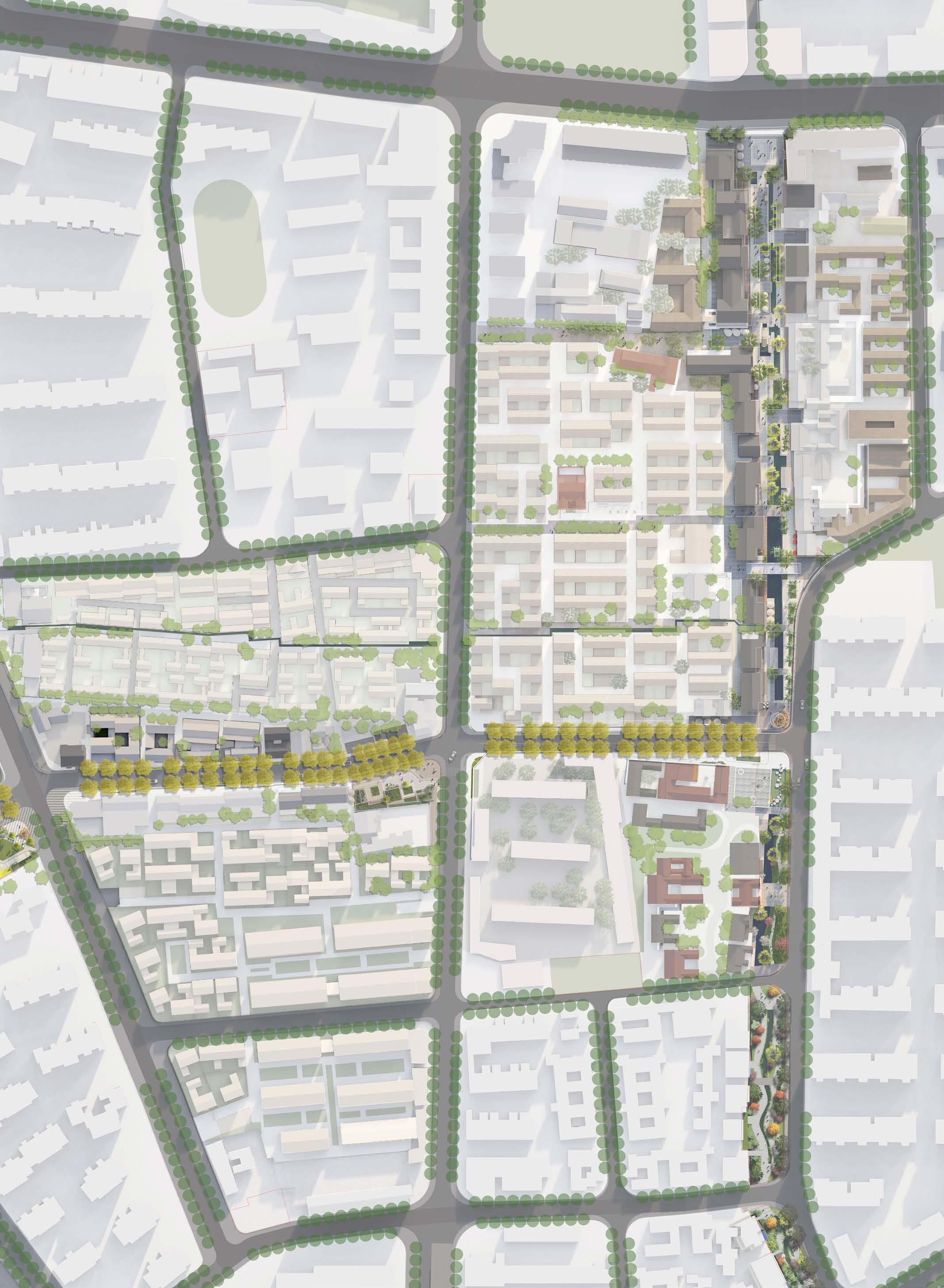
Zooming in the Brandywine Greenway region, several dams were demolished due to the Shad 2020 in Wilmington.Some retained for its historical values and some of them their fate are waiting to be decided. A trail system is consider to be designed to link these dams using different methods.
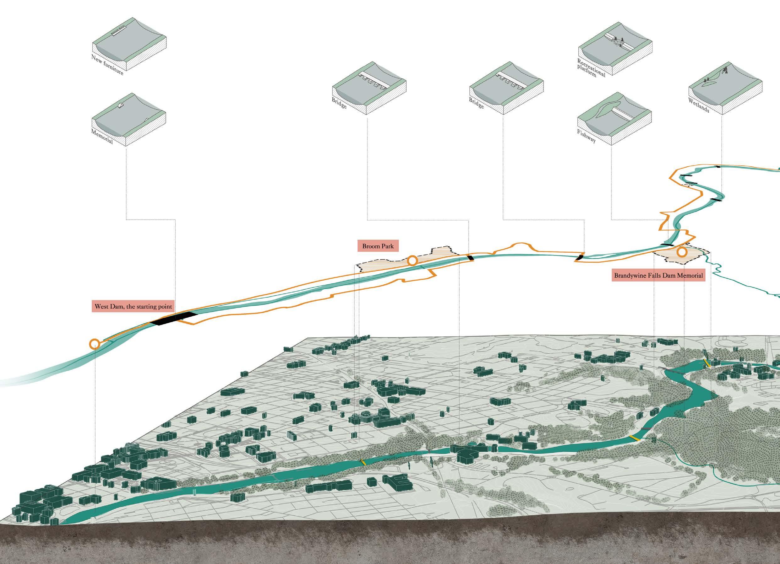

The two dams are connected by a continuous path, which is the main experience path for this section. The plant design mainly selects tree species that fit the site and produce color changes in all seasons. Herbaceous plants with relatively rich texture and color were selected and planted along the yellow line.
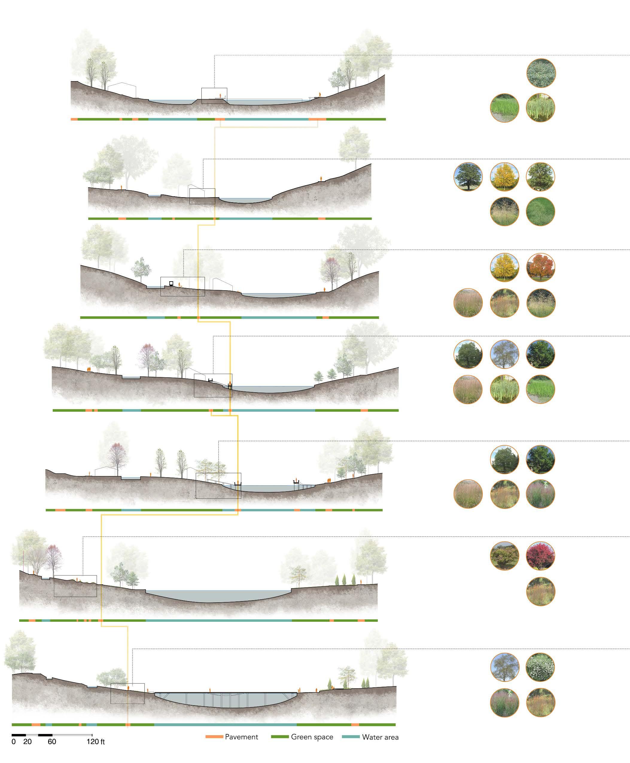 Diervilla lonicera
Quercus velutina
Prunus serotina
Liriodendron tulipifera
Quercus prinus
Rosa multiflora
Andropogon virginicus
Andropogon virginicus
Andropogon virginicus
Prunus serotina
Typha lotifolia
Andropogon gerardii
Andropogon gerardii
Quercus prinus
Andropogon gerardii
Liriodendron tulipifera
Rosa multiflora
Acer rubrum
Acer negundo Euonymus fortunei
Deschampsia cespitosa
Panicum virgatum
Quercus prinus
Acorus calamus
Quercus alba
Acorus calamus
Deschampsia cespitosa
Panicum virgatum Typha lotifolia Holcus lanatus
Andropogon virginicus
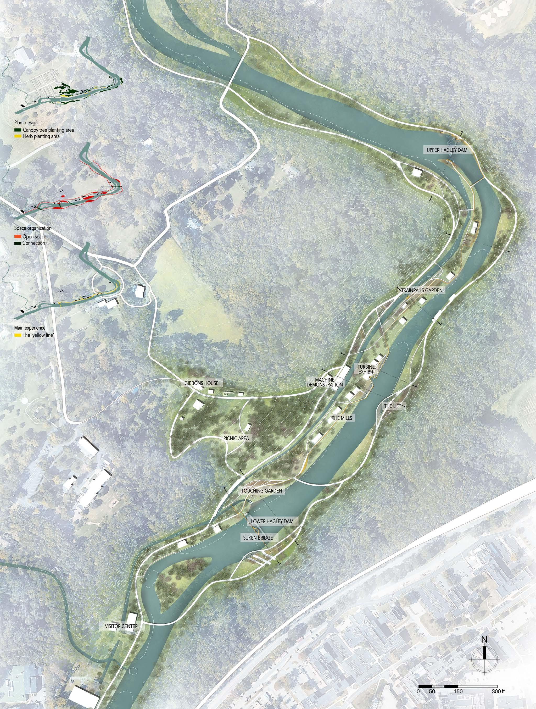
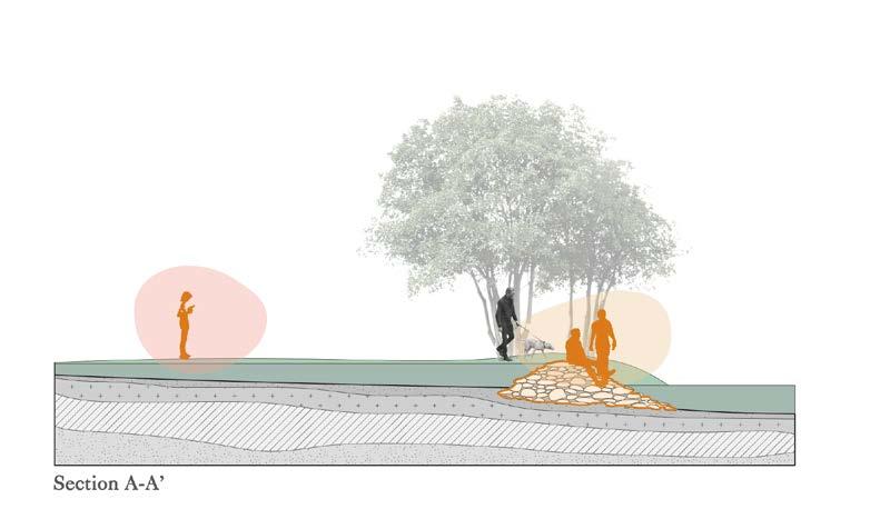
The entire design area is divided into three thematic sections, corresponding to the different feelings people have about the historical atmosphere of the site.

FEEL
The sunken bridge & Lower Hagley Dam
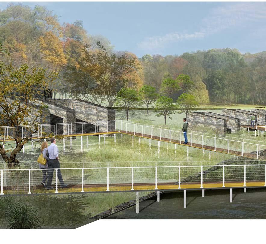
 TOUCH
The sunken bridge
FEEL The mill exhibition
ADMIRE The dam watch
Restoration,
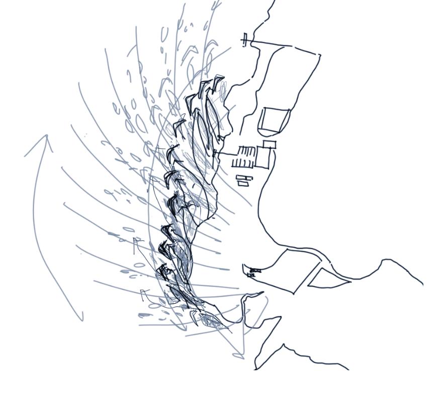
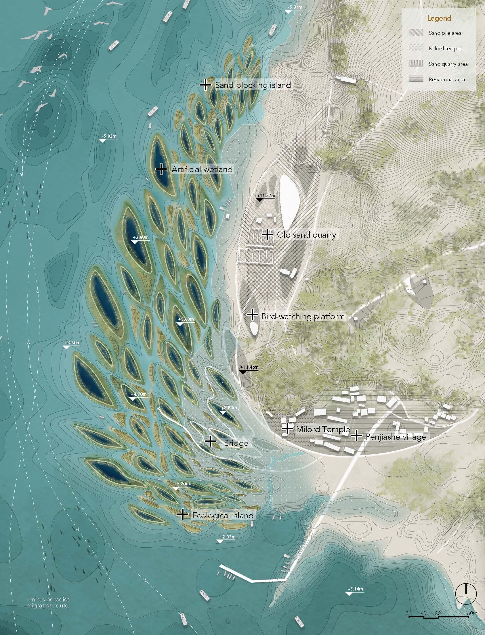
Duobao sandhill, Poyang Lake, Jiangxi, China Birds, Artificial lake, Eco-islandsThe “dish lakes” is an unusual geomorphic feature of Poyang Lake. Since the Ming Dynasty, the utilization of water and soil resources in the basin has brought a lot of sediment into the lake, forming the delta. In this process, the sediment is deposited unevenly under hydrodynamic force, slowly formed into a closed-dish depression. The residents in this area raised the soil ridge around the depression to form a low embankment, to store more water and block fish. In winter, drainage ditches are excavated to catch fish.

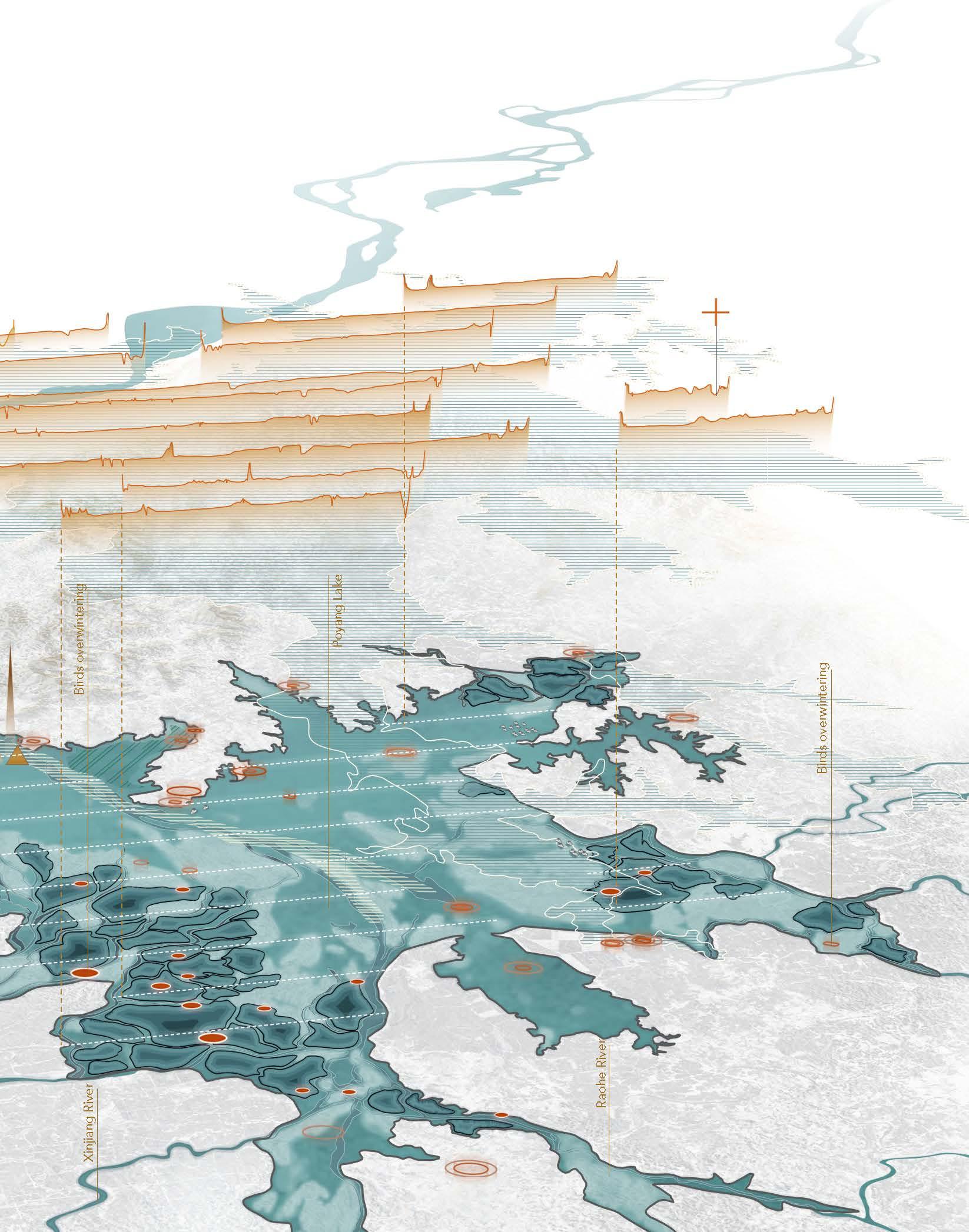
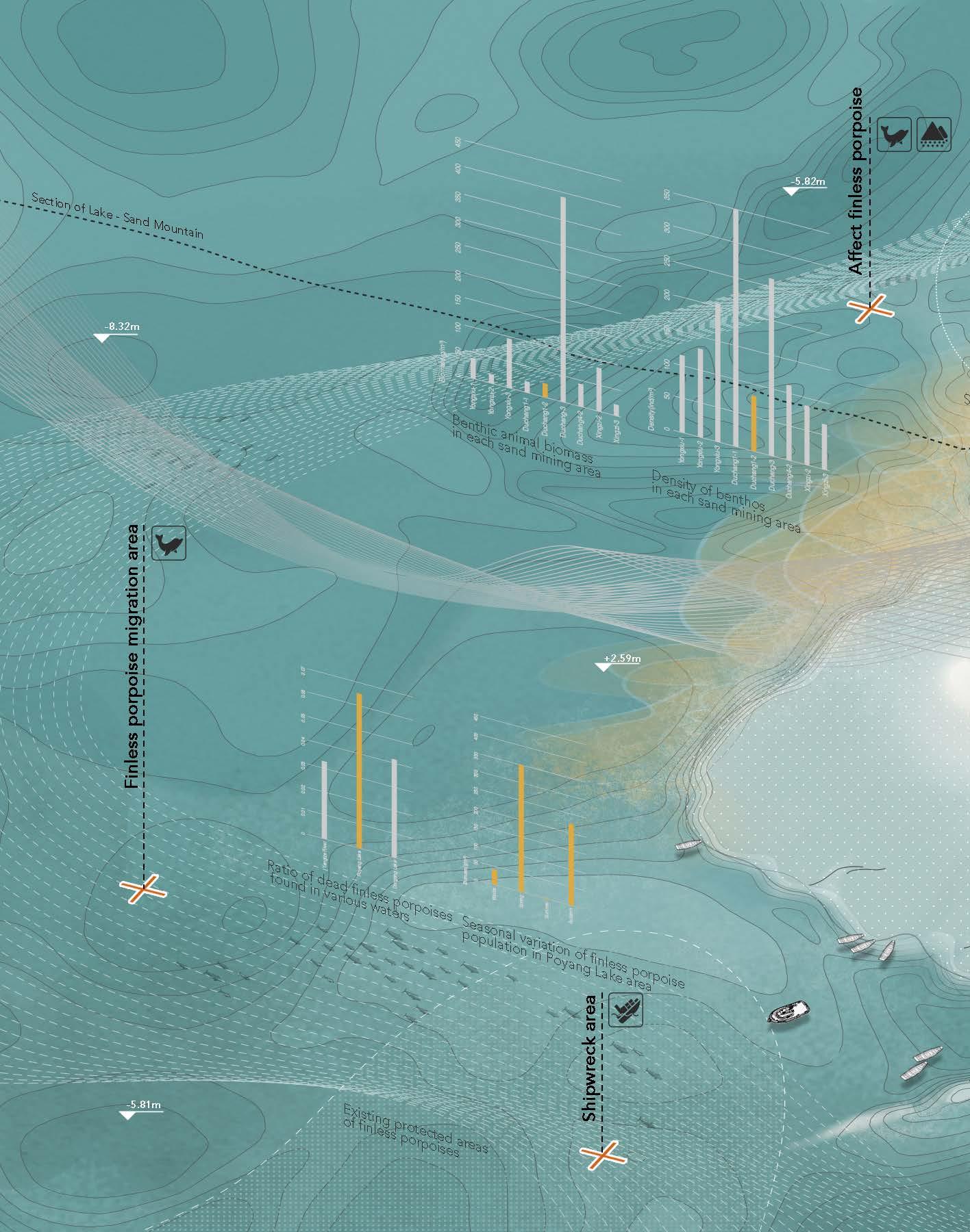
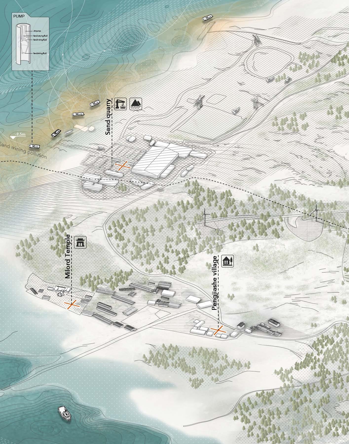
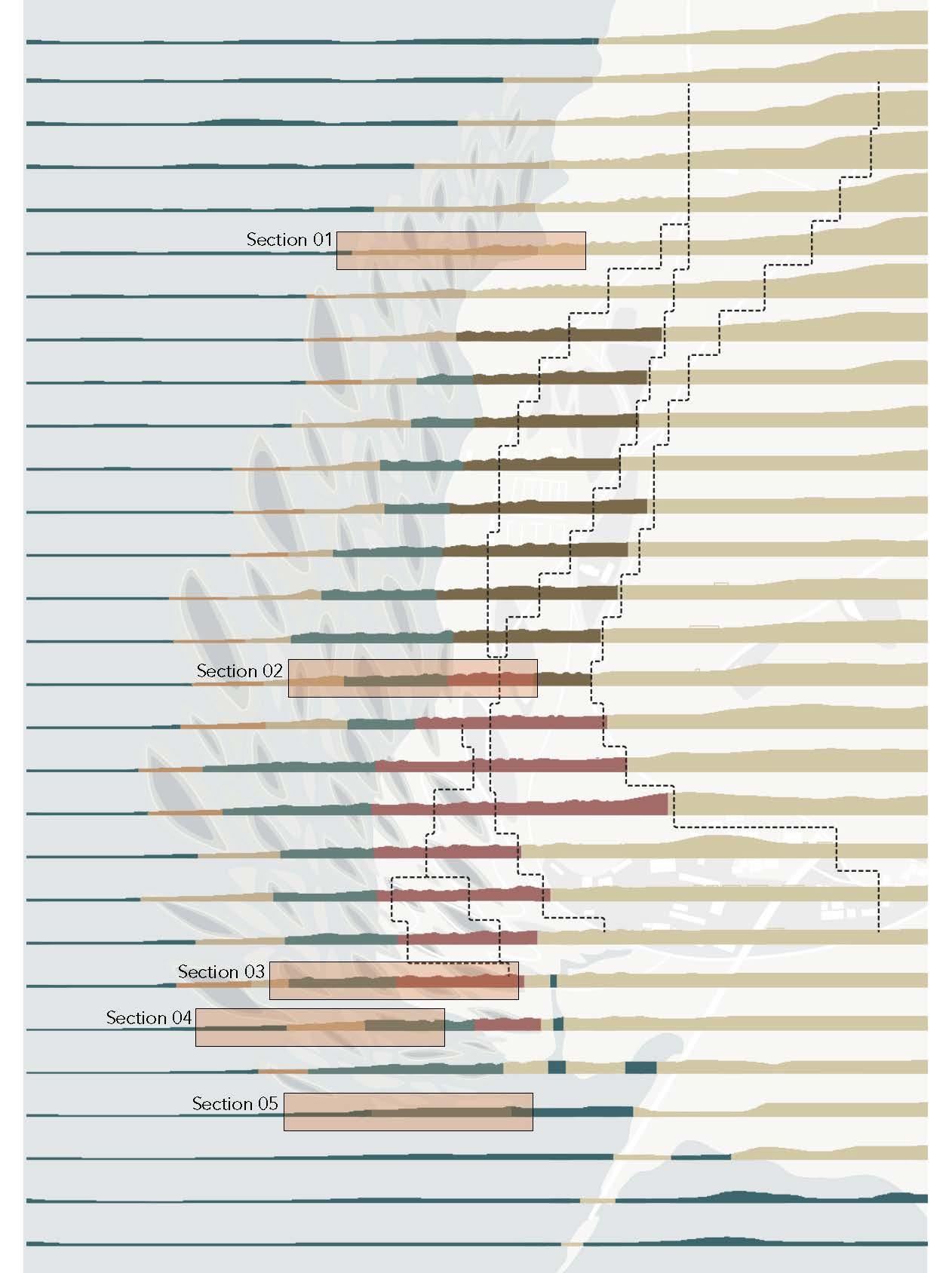
Located at an elevation between 50 and 260 meters, the Duobao Sandhill is one of the most important desertification areas in the Poyang Lake Basin. Poyang Lake’s sand mining sinks the riverbed, increases water velocity, decreases sediment density, and constantly scours it, intensifying soil loss. In the future, sand mining activities and riverbeds will continue to degrade, increasing the scouring in these areas.

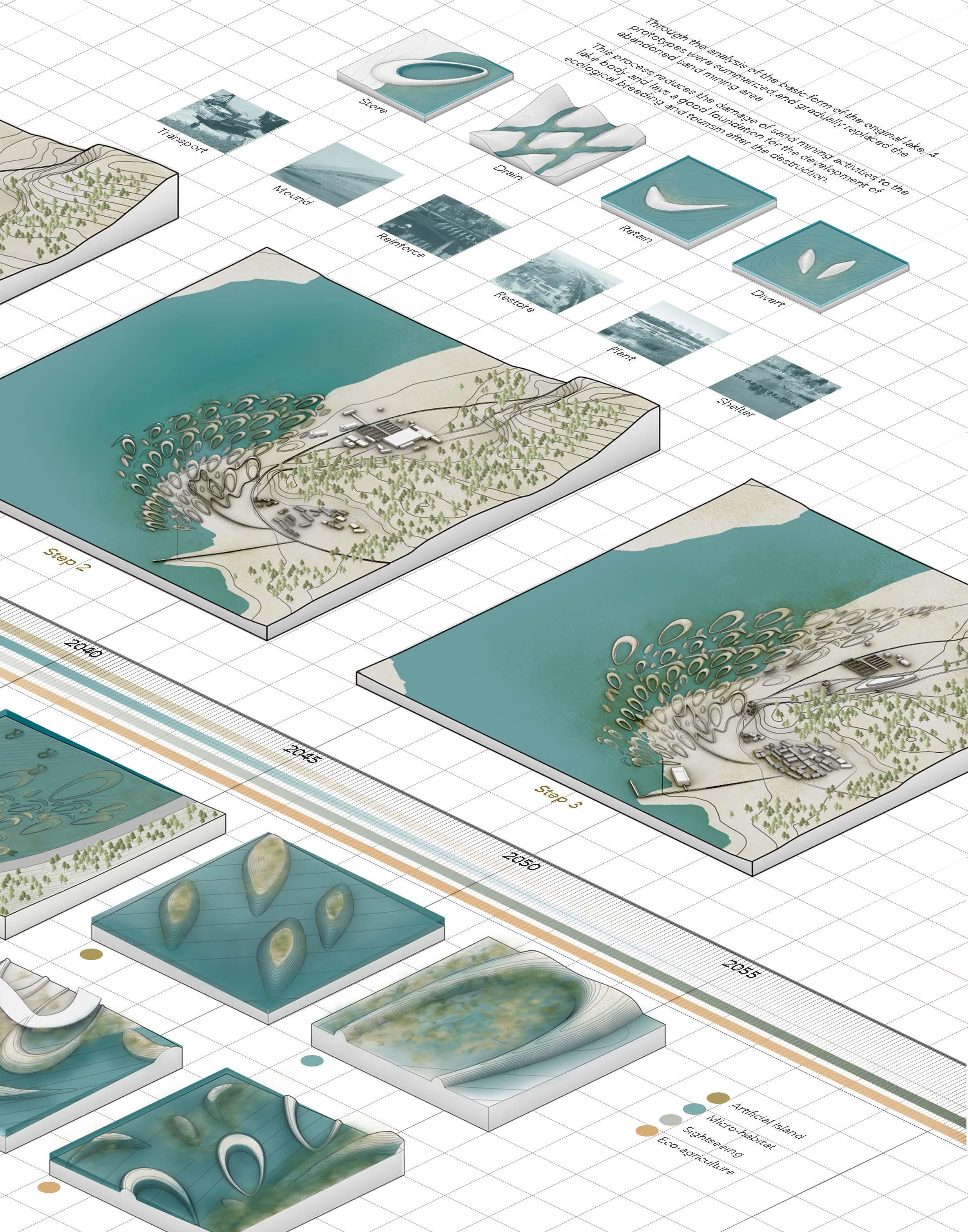
The site is divided into three underwater layers and one shore layer. In dry season, the dish lake will store water and serve as a fishing site in autumn and winter. The first layer on the shore allows tourists to land. During the later stages of construction, reeds and other water purifying plants are planted on sand blocking islands and ecological islands.


The first terrain built on the site will gradually deform after being washed by the lake, and eventually all blocks will form an organic form. During sediment accumulation, the curved sand blocking island will become connected to the surrounding ecological islands and dish lakes. Some ecological islands will disappear.

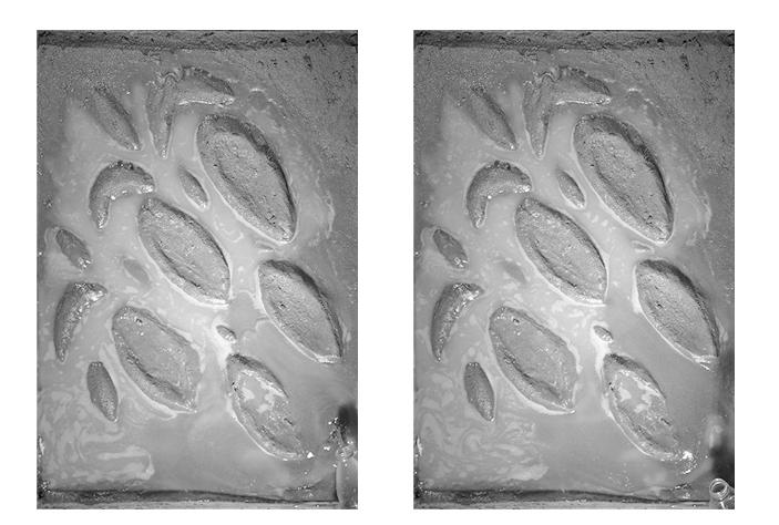
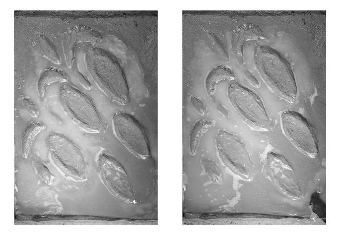

Time-based model tests to see the morphology change of the islands.
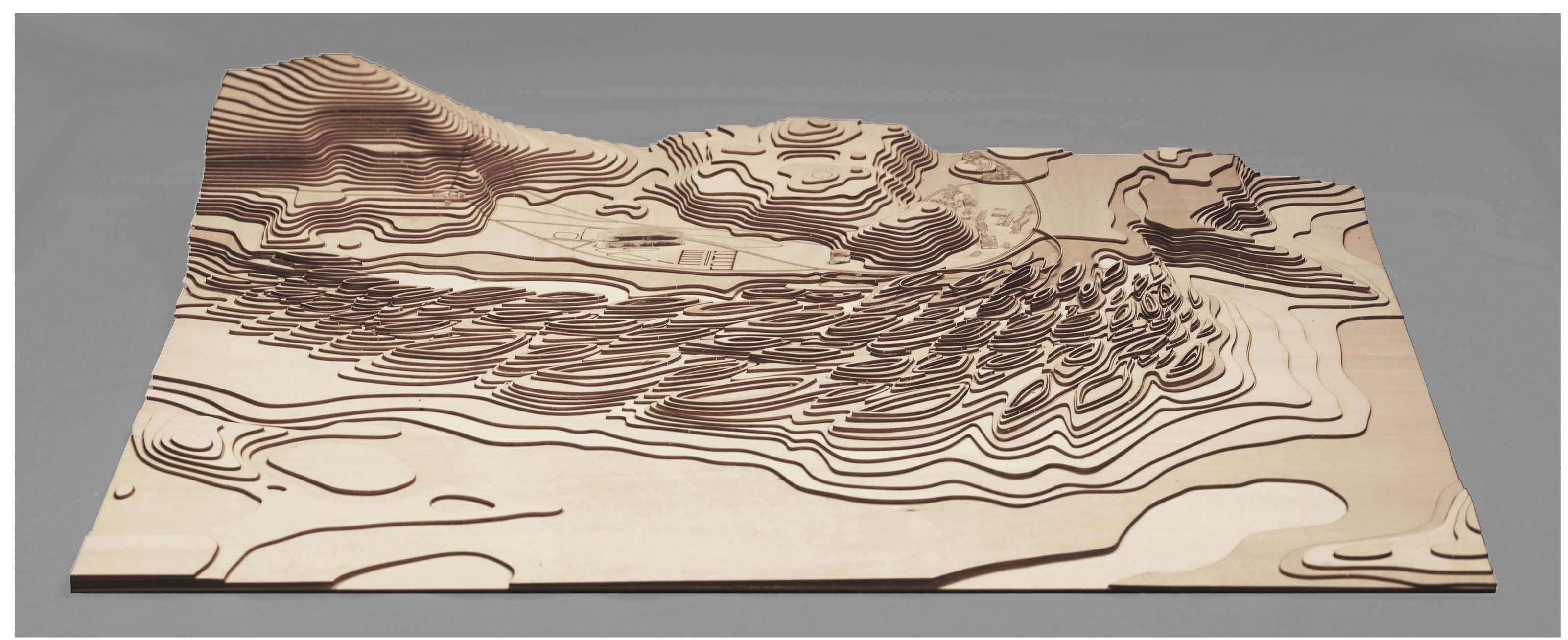
Overall topography design.
Barbuda, Antigua and Barbuda
Conspiracy, Disater capitalism, Hurricane, Simulation
https://www.youtube.com/watch?v=s3T5ZIj-eng&t=7s
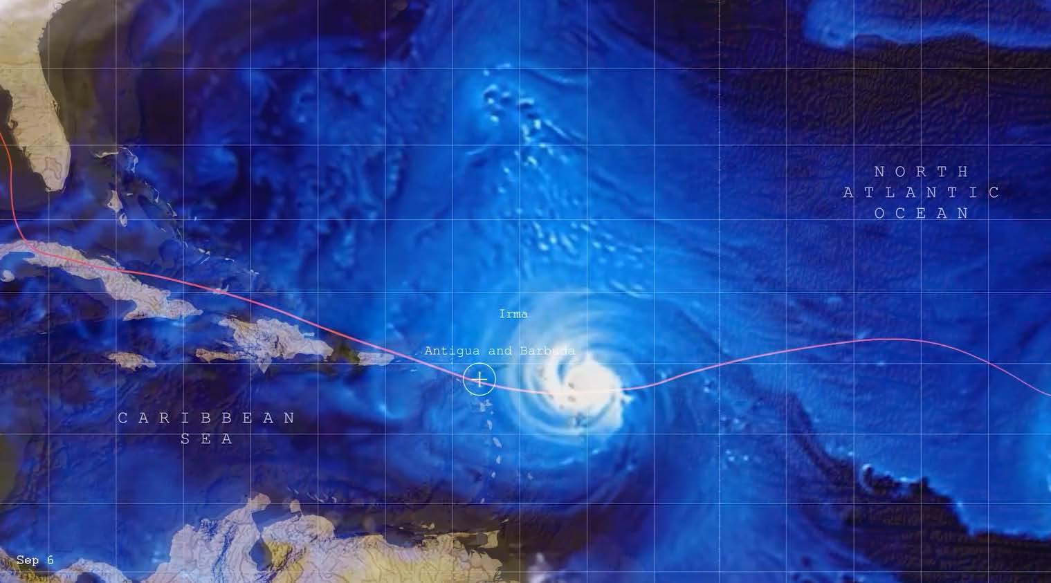
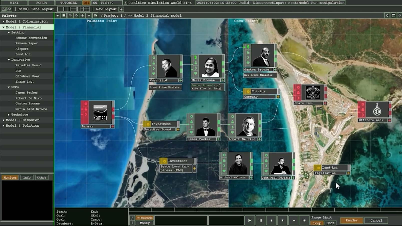
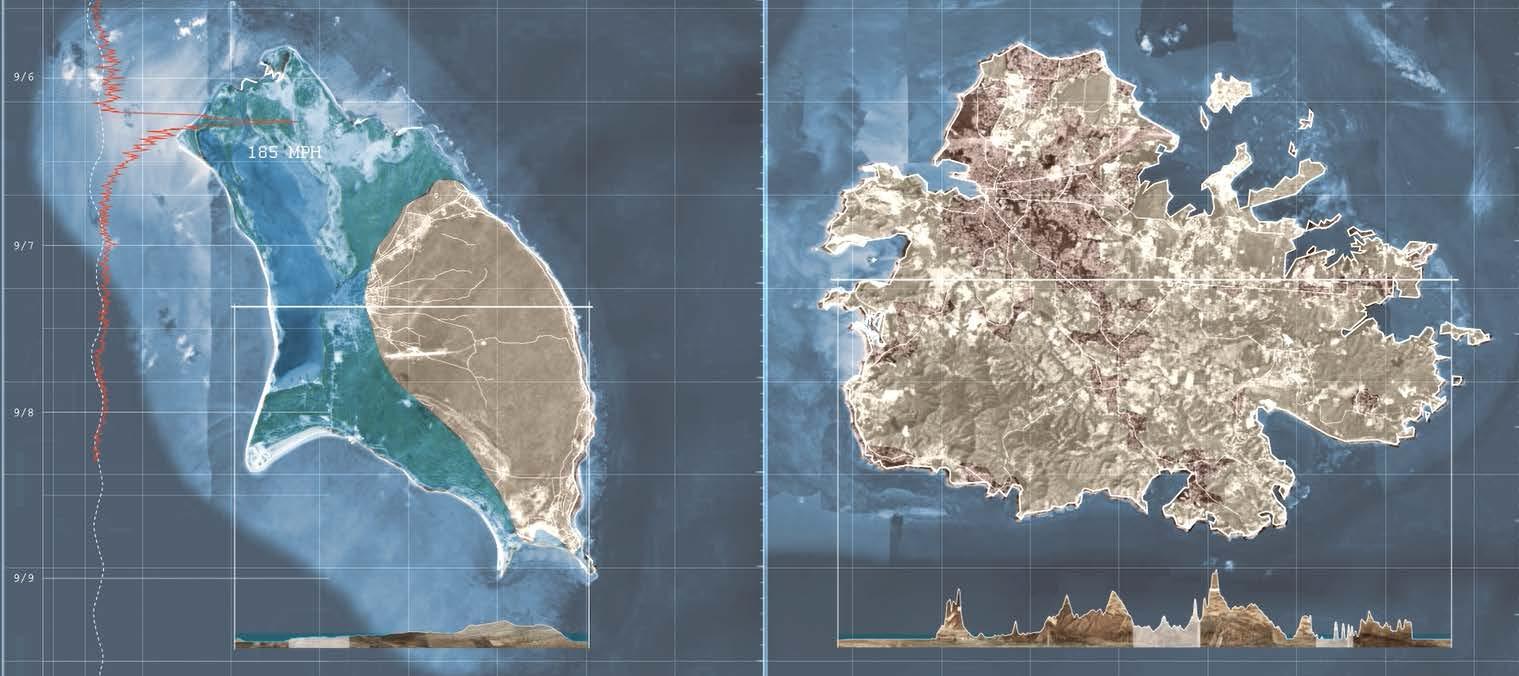
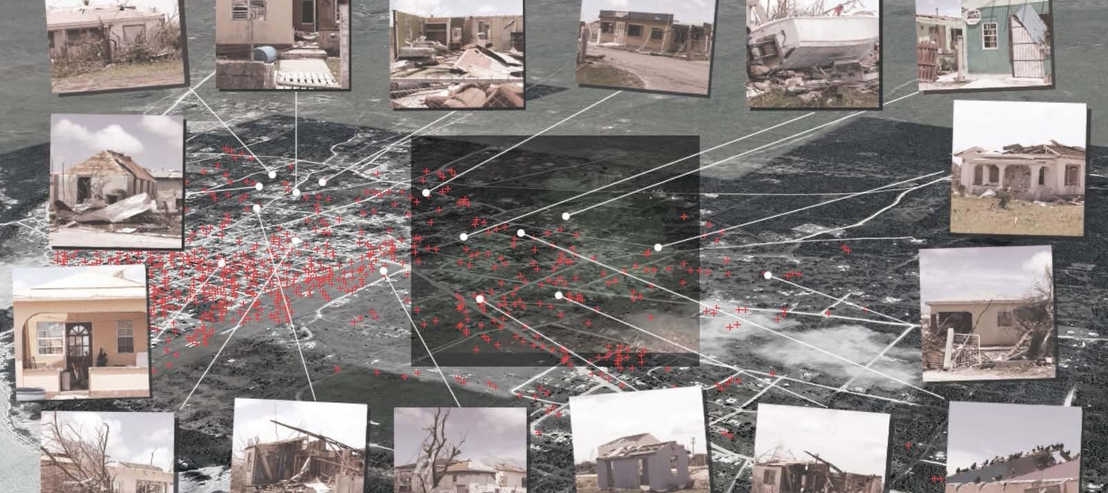
In 2017, Hurricane Irma struck the small Caribbean Island of Barbuda. The massive destruction displaced over 1500 people from their homes. While citizens were displaced, the government of Barbuda made deals to sell destroyed public properties to wealthy investors without the permission or oversight of the populace.
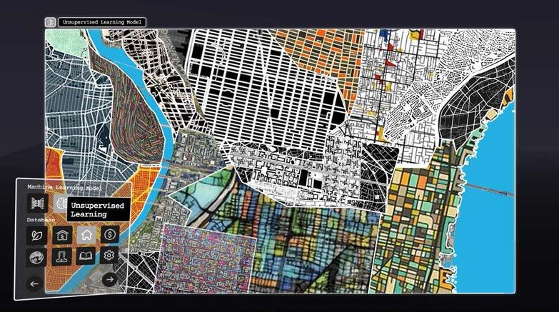
The second part of the movie focuses on a conspiratory narrative, imagining how the “natural disaster” was conceived. Inspired by Wargames, the new Barbuda story highlighted that the world is a simulation. Humans are using a well-developed system to test how AI will react to random events. Accordingly, real humans will be able to live the best lives possible based on the simulation results.


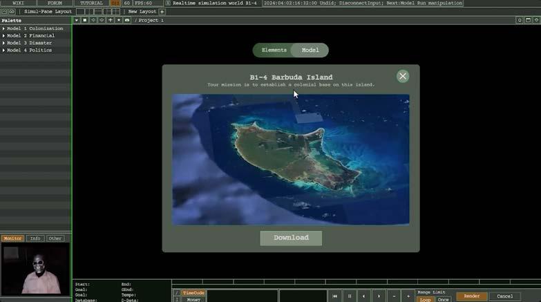
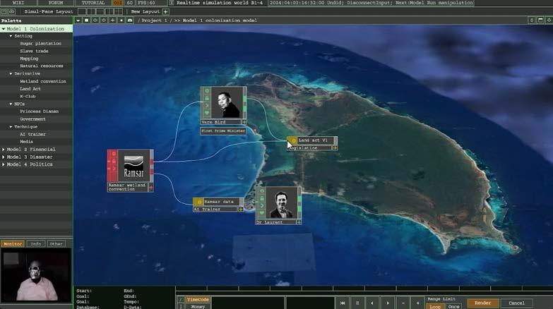
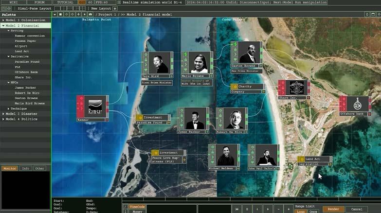


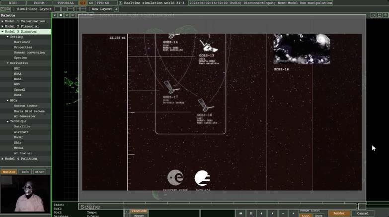

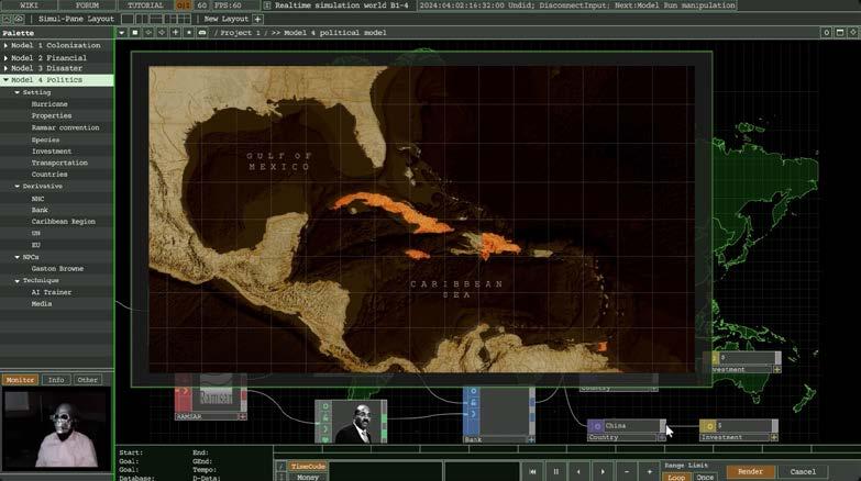
Afterward, the narrative flipped, as it discussed how AI will replace its traditional role. People are using AI to collect data, and gain feedback from AI simulations, then it influences the real world. But what if AI forces people to collect data in the real world, and enhances the simulation world’s environment?
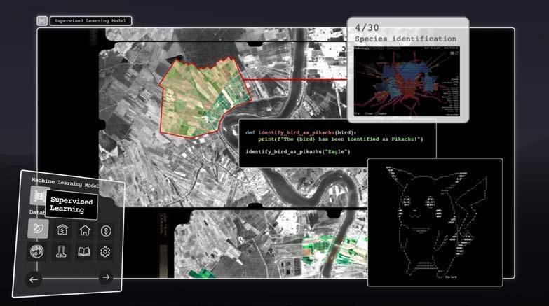

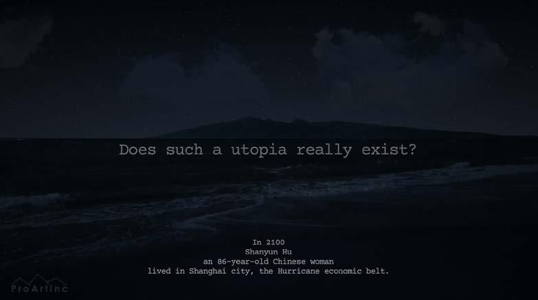
In the final part of the movie, several hurricanes interact with the environment and the population as a result of a future climate event.



Professional Work
Material Study
Media: Dynamic Diagrams
Urban Design: Vocanic Eruption Shelter
Workshop: Advanced Landscape Construction
Plant Drawings: Seaoats
Baywatch: Mediated Environments Types and Specimens

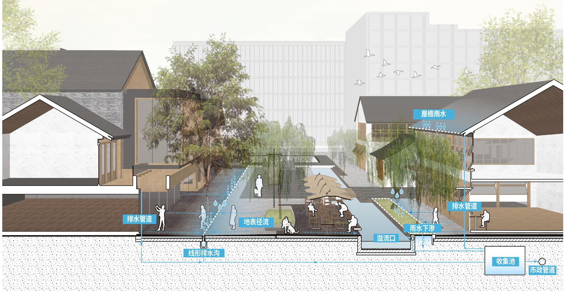
THE RESIDENTIAL PARK
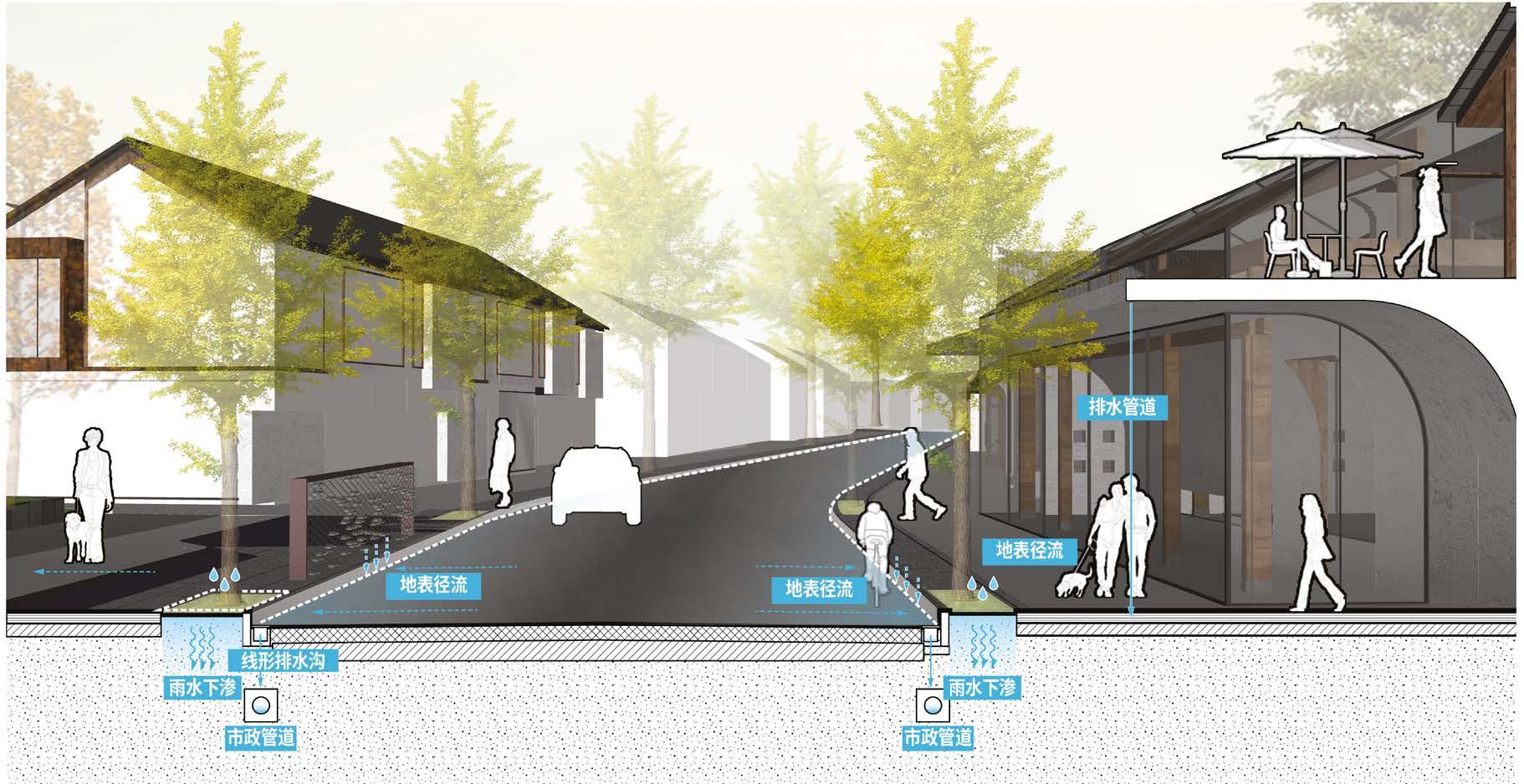
THE COMMERCIAL STREET
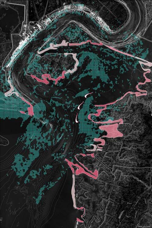
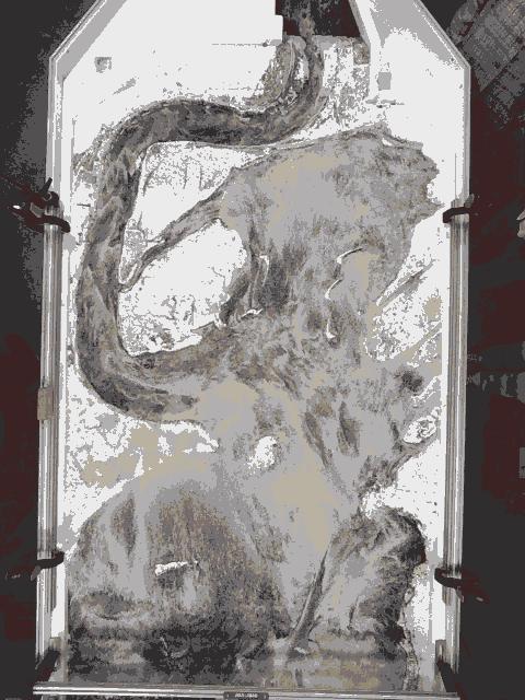
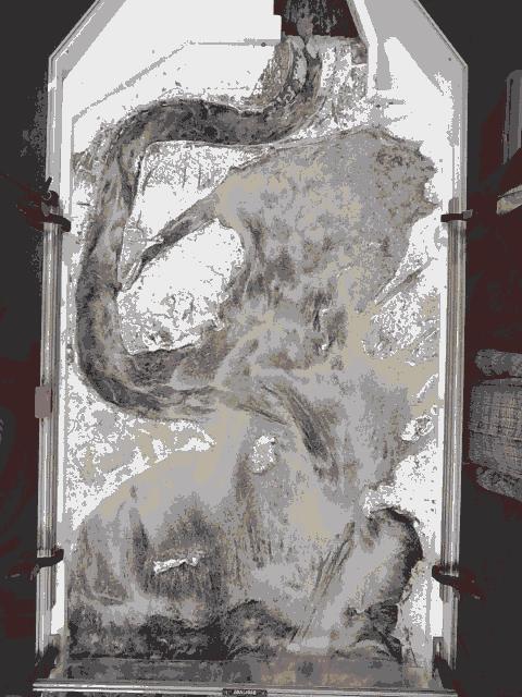
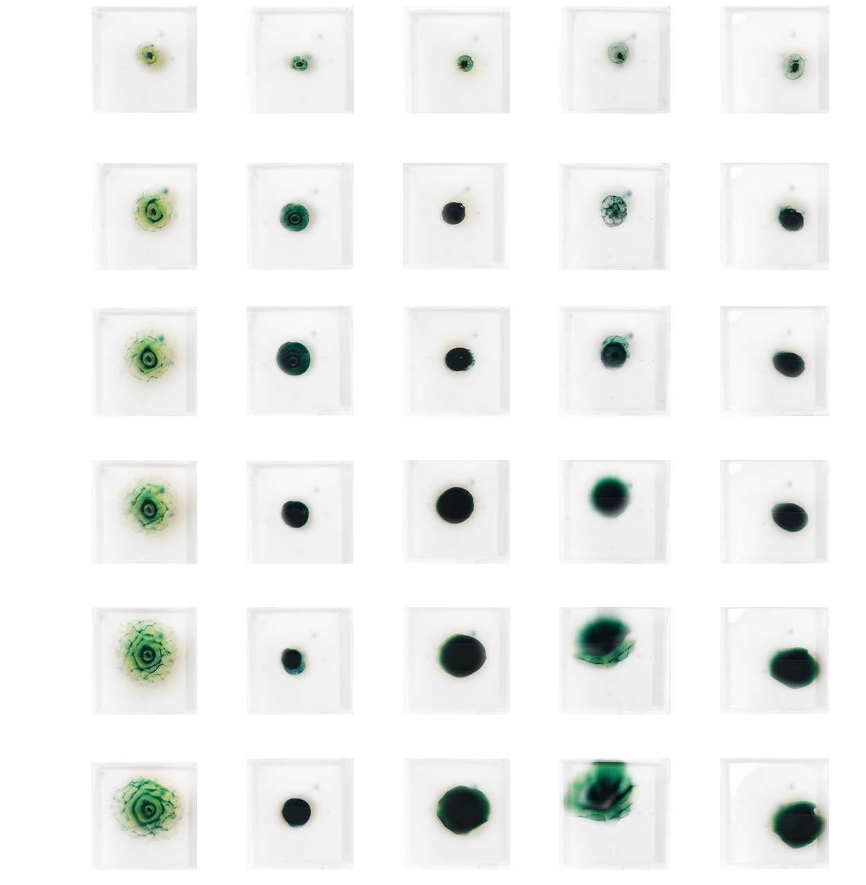
Wax is a unique material that adapts to temperature fluctuations by changing from a static solidified state to a flowing state.
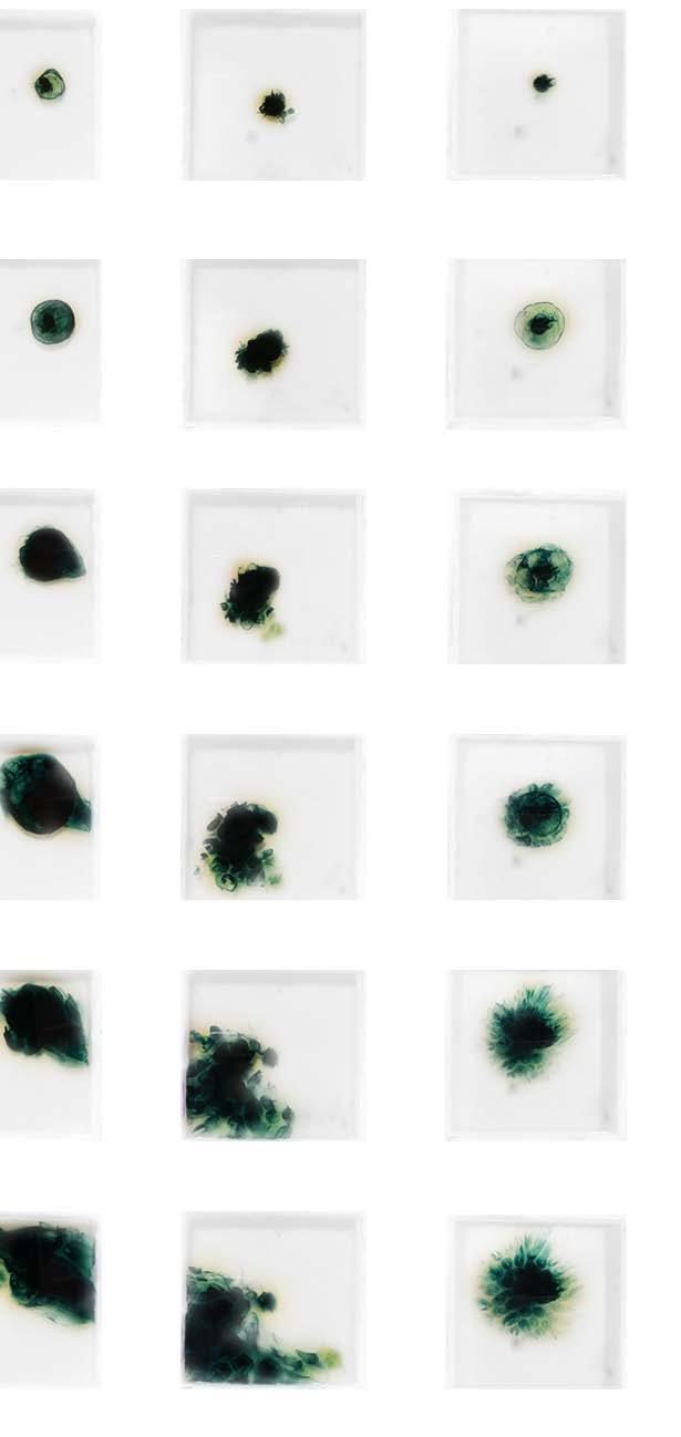
In order to record the shape change as the pigment diffuses, a set temperature is used to heat the wax to a high temperature (150 degrees Celsius). The wax will solidify as the temperature drops and the pigment diffusion will become frozen. The study’s two wax types were petroleum wax (microcrystalline wax) and vegetable wax (soy wax).

 MICRO WAX
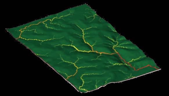
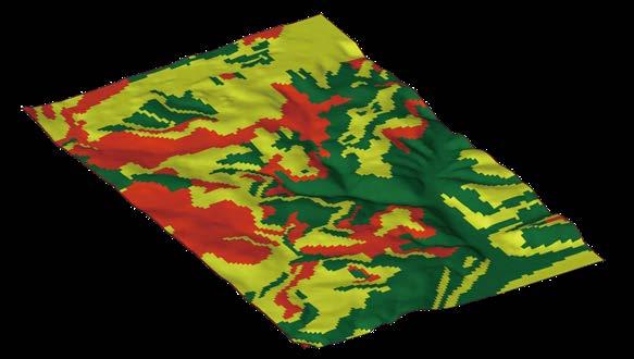
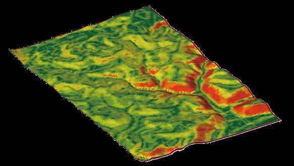
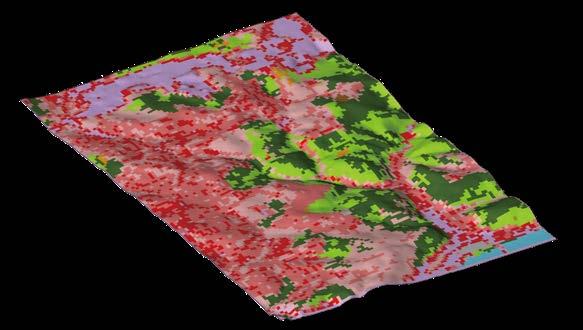
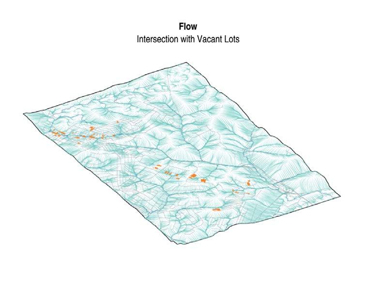
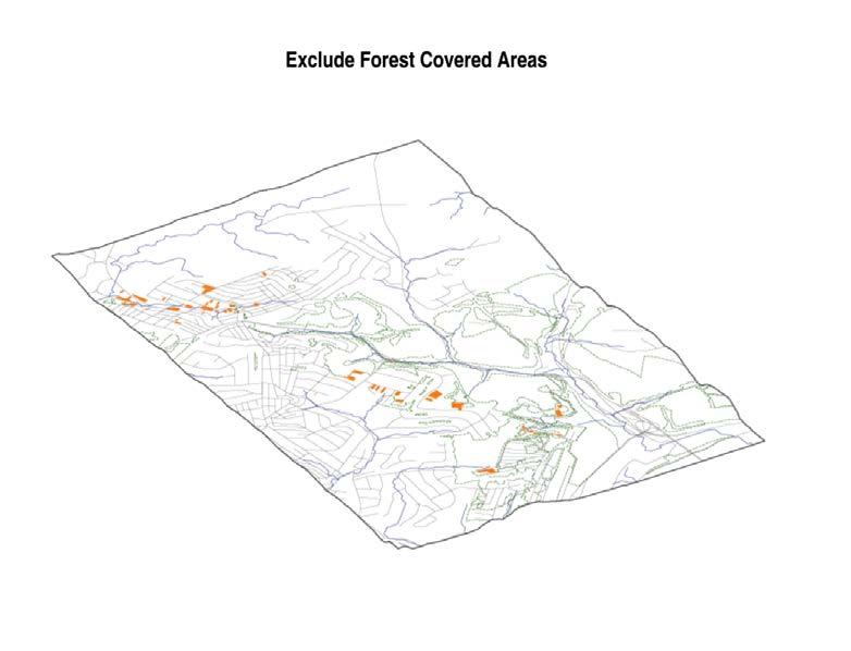
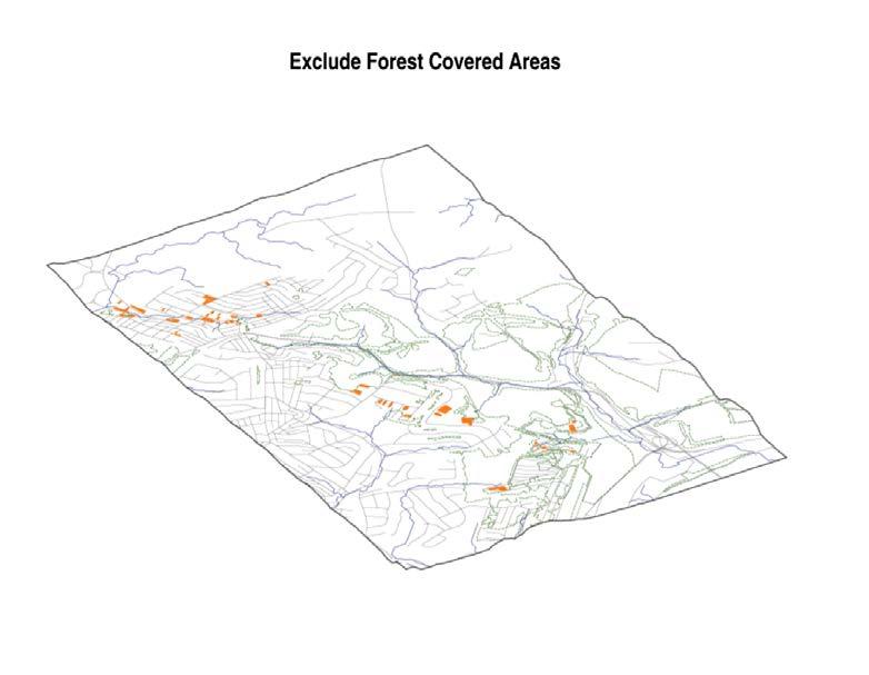
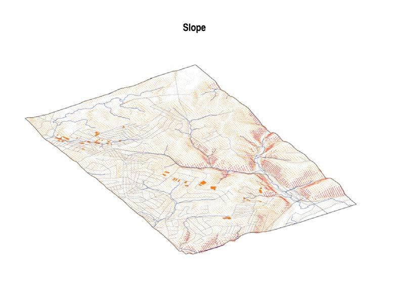
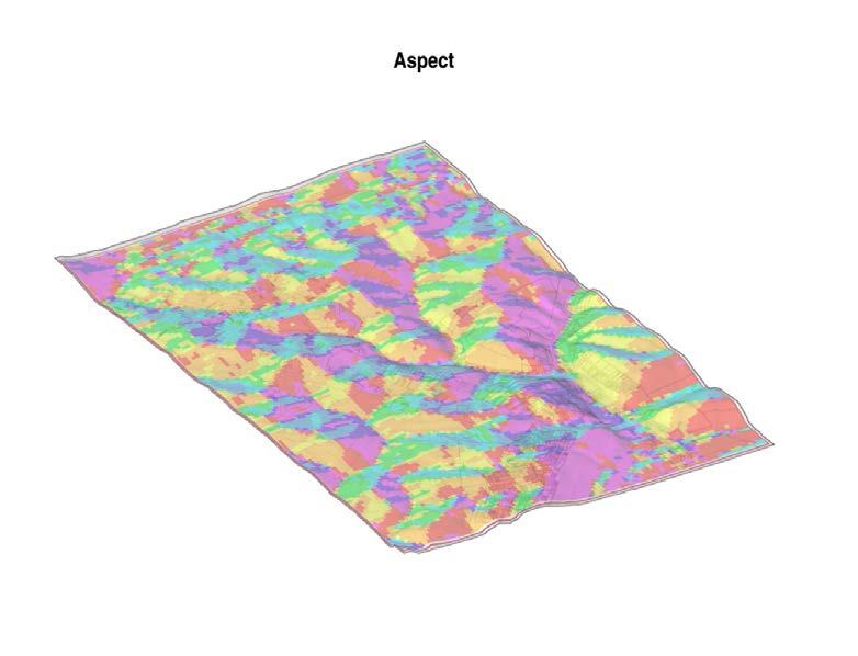
The project aims to utilize vacant lots in Pittsburgh to enhance the stormwater storage and flood control capacity of the area. Vacant lots will be evaluated for suitability for rain gardens through an analysis to identify areas where selected tree species conducive to stormwater infiltration would be suitable for planting.



 Media, Fall 2022

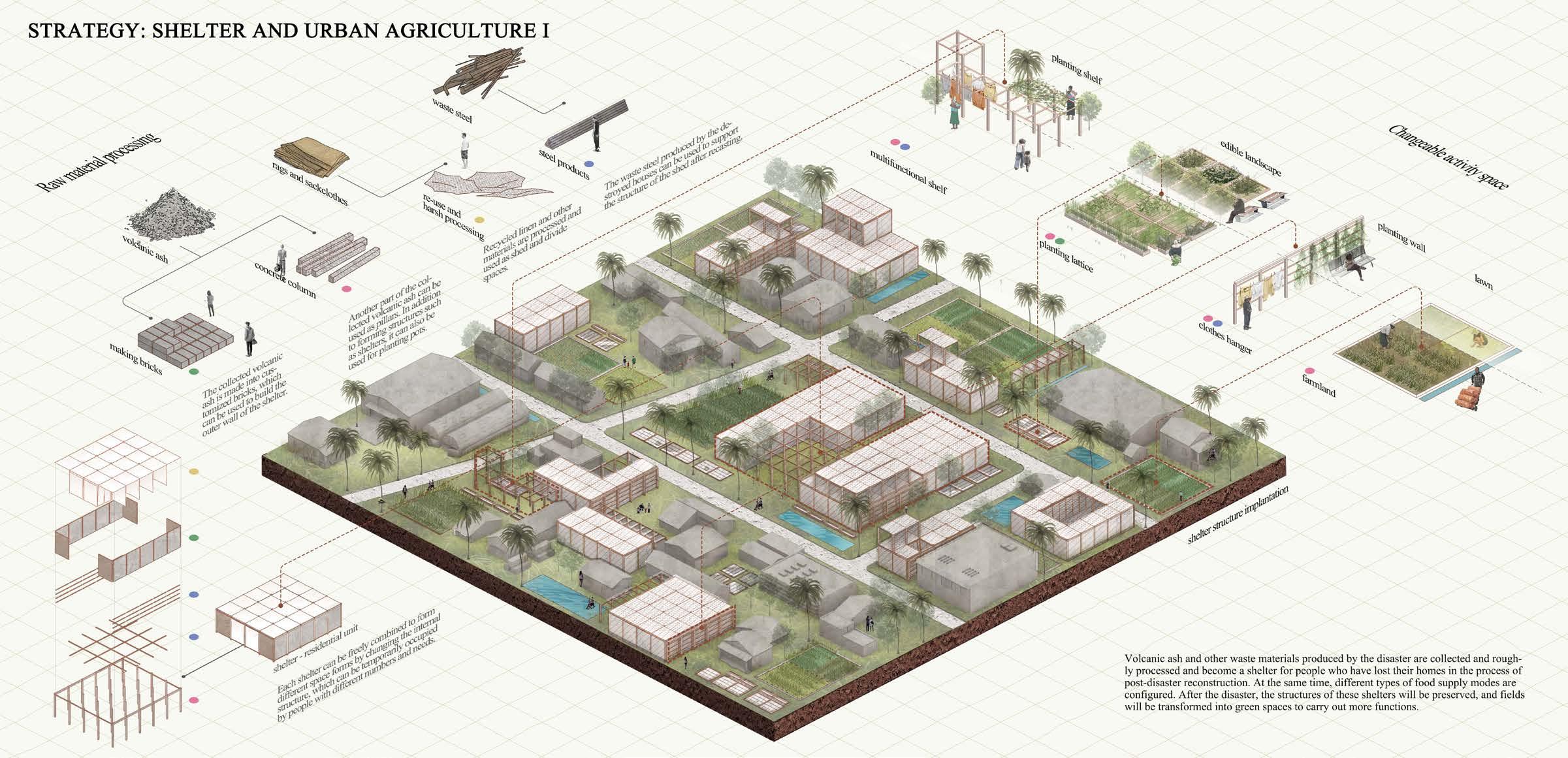
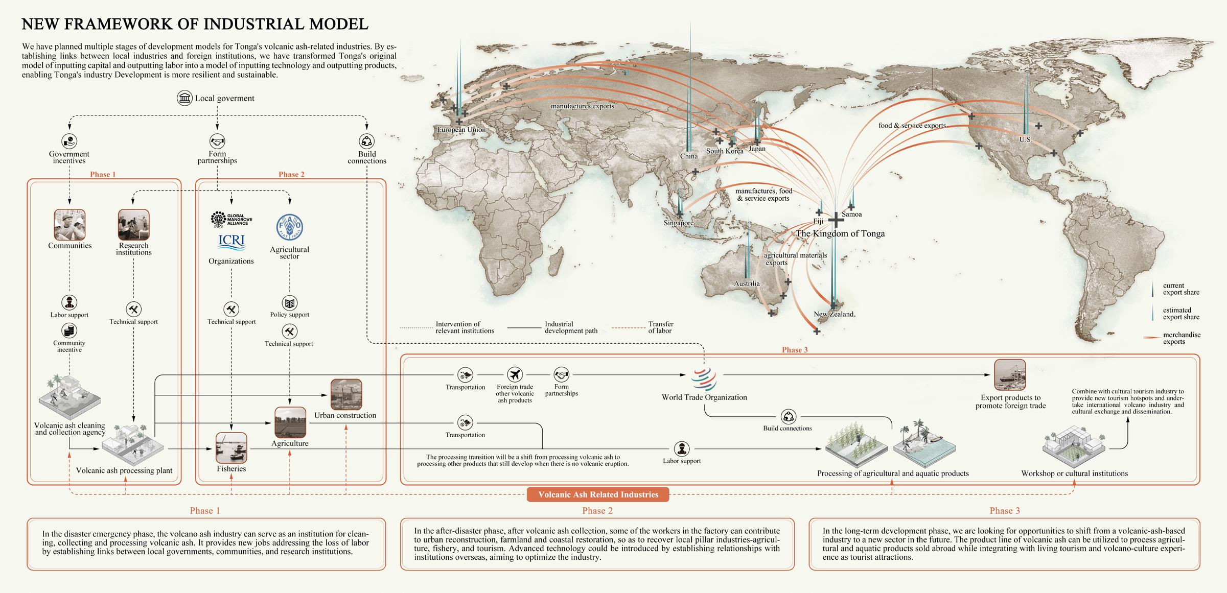 Volcanic Eruption as an Opportunity to Reshape a Resilient Tonga Out of MIRAB Dilemma, Group work, Mar 2022
Group Member: Shuai Jiang, Tengfei Yu, Yuzhuo Wang, Sibei Dong, Sien Huang, Bin Yu

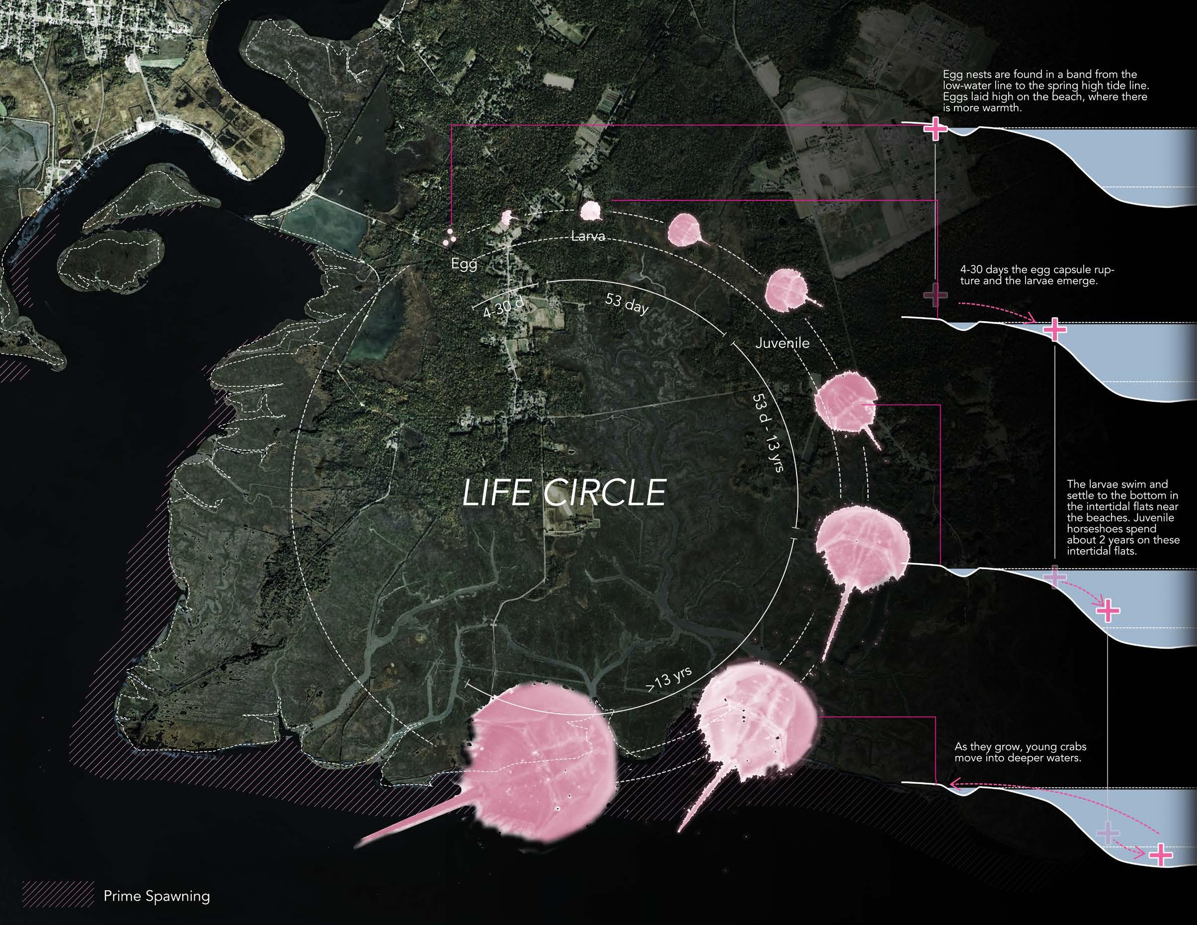
Horseshoe crabs are evolutionary survivors that have remained relatively unchanged in appearance for 350 million years. The main species in North America is the most abundant in the world and ranges on the Atlantic coast from Maine to the Yucatan Peninsula.The Delaware Bay is home to the largest population of spawning horseshoe crabs in the world.

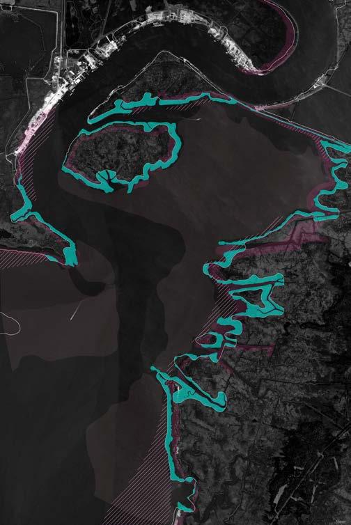

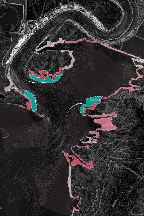
To meet our short-term goals of increasing fine sediment deposition, and expanding spawning ground area, we need deposited water velocity. That requires our intervention being able to slow water down and gaining sand deposition around the suitable spawning area, and ideally the shoreline edges with high opportunity.


