3 minute read
West Deeping in 5 objects
WEST DEEPING West Deeping in 5 objects by Maggie Ashcroft

Advertisement
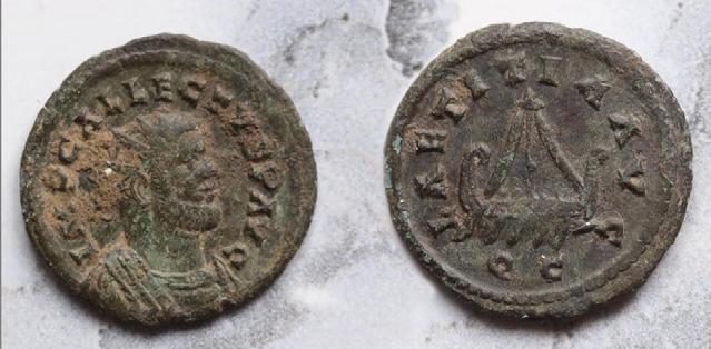
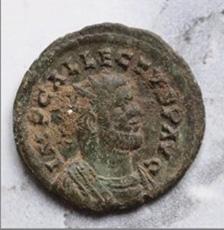
This coin, a ‘quinarius’ dates from the short reign of Emperor Allectus (AD 293-296). It’s one of many Roman coins found in the village over the years – not surprisingly, as the Romans were in the area for over 350 years. During the Boudican revolt in AD 60/6, King Street is known to have been a route for the 9th Legion between their campaign base at Longthorpe and their fortress at Ancaster, near Lincoln. The inhabitants of the Romano-British farmstead, on the site of Rectory Farm at West Deeping, would no doubt have been using Roman coinage. By the end of the 3rd century AD, under its usurper emperors like Allectus, Britain was a breakaway state from the rest of the Roman Empire. By AD 410 we had been left to fend for ourselves against Saxon invaders.
This 19th-century waterwheel, at Molecey’s Mill on Stamford Road, is still working thanks to several restorations by past and present owners. The watermill was one of four first recorded in 1086 for King William I’s ‘Domesday’ survey and had many changes of owner before John Molecey installed this ‘undershot’ wheel for his flourmill. It was probably not long after its design was invented by the French engineer, Jean Victor Poncelet, in 1823. West Deeping Mill near the church dates back to pre-Norman times too, but sadly no longer has its wheel. The font in St Andrew’s Church is said to date back to the 1300s, the time of Edward III and his son the Black Prince. Its octagonal basin has a heraldic shield carved into each face, thought to represent local families – wealthy landowners and patrons of the church. Many antiquarians and heraldic experts over the years have tried to identify all eight shields, but only agree on the Wakes, the Clares (founders of Deeping St James Priory) and the Beauchamps (whose daughter was Lady Margaret Beaufort). Internet resources have proved useful in checking out the rest of the shields – watch out for a future article!


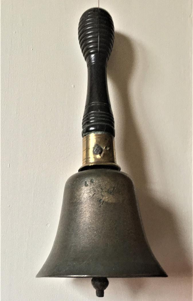
This hand-bell was bought in 1918 for Miss Grassam, the newly-appointed headmistress, by the Managers of West Deeping Church of England School. At that time there were around 50 pupils but by 1969 numbers had fallen to only 17 and closure was being discussed. The school finally closed on 5th April 1971 and the remaining children were presented with a New English Bible as a memento. After the Easter holidays, they would be attending the William Hillyard Church of England Primary School in Market Deeping. Mrs Smith, the acting headmistress, gave the handbell to a former pupil, Nick Sandall. He looked after it for nearly 50 years before deciding, earlier this year, to send it back to be displayed in the former school, now used as the Village Hall.

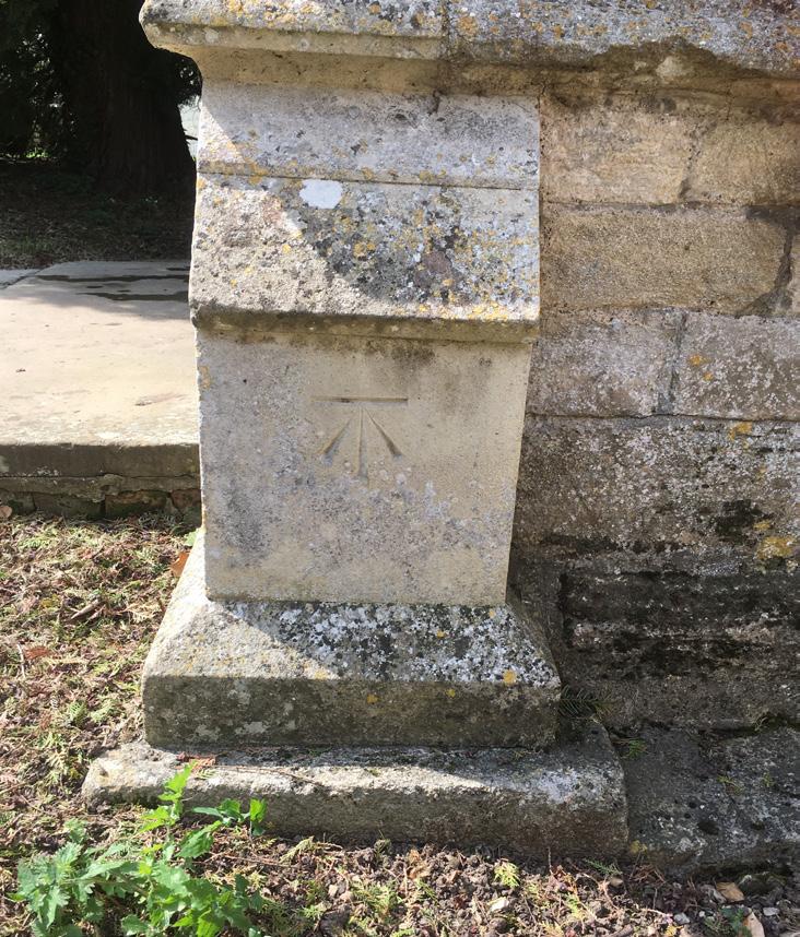
Further information about the history of West Deeping can be found on West Deeping Heritage website https://wdheritage.wordpress.com/ or contact Maggie Ashcroft 01778 344768. This is one of the four Ordnance Survey ‘bench marks’ that can still be found in West Deeping. The horizontal line over the upward-pointing arrow is chiselled into the stonework of the porch at St Andrew’s Church, in the same way (and at a similar level) as others at Wheatsheaf Cottage, the Red Lion Public House and King Street Bridge. Although they are no longer maintained and will gradually disappear with redevelopment and erosion, they mark the positions originally used by the Ordnance Survey to measure height above sea level. Their significance in West Deeping’s history becomes apparent when you check the 1887 large-scale map – the church was 41 feet 6 inches (12.65 metres) above sea level at the reference point, Wheatsheaf Cottage 40 ft (12.2 m) and the Red Lion 40ft 7ins (12.37m). Rising sea levels caused by global warming pose a serious threat to West Deeping’s long-term future!


