


CONTACT DETAILS
zoe.anushca@gmail.com
027 526 7580
I am currently studying to become a landscape architect, I have strong interest in hybrid spaces that support our well-being, enhance the surrounding ecosystems, and improve the climate resiliency. I have been developing my knowledge of plants through my current position as a Gardener, and enjoy using my creativity to communicate my designs through drawing, painting, and modelling.
Masters of Landscape Architecture
4th year Postgraduate Student
Victoria University of Wellington (2024 - Present)
Bachelor’s of Architectural Studies major in Landscape
Victoria University of Wellington (2021 - 2023)
NCEA Levels One, Two, and Three
Graduated from Te Awamutu College 2019
2023
The ‘Coastal & Estuary Research Federation’ Team Project Design Competition Winner
2023
Te Tini a Rehua Excellence Award for top Māori Undergraduate Student in the Faculty of Architecture and Design Innovation
2022
Victoria University of Wellington Land-cult Limited Prize for Top of Second year in Landscape Architecture course
2022
Wellington Faculty of Architecture and Design Excellence Award in Landscape Communication
2021 - 2022 - 2023
Wellington Faculty of Architecture and Design Dean’s List
Bark Ltd (December 2022 - Present)
Maintain seasonal maintenance requirements such as pruning, mowing, and weeding.
Developed hands-on plant maintenance knowledge and landscape design.
AutoCAD
Rhino7
ArcGIS Pro Sketchup
InDesign Photoshop Illustrator Lightroom
2022
Volunteered as a DOC Ranger at Blue Duck Station in Whanganui National Park, Retaruke
2019
Completed Spirit of Adventure 10 day development voyage
2019
Completed Outward Bound 21 day Mind, Body, and Soul course
Summary:
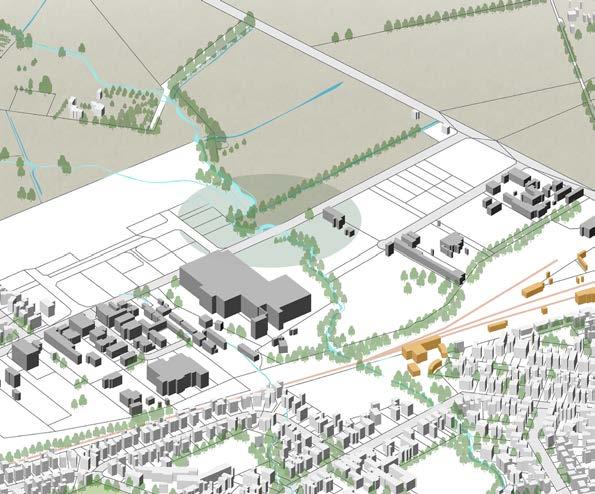
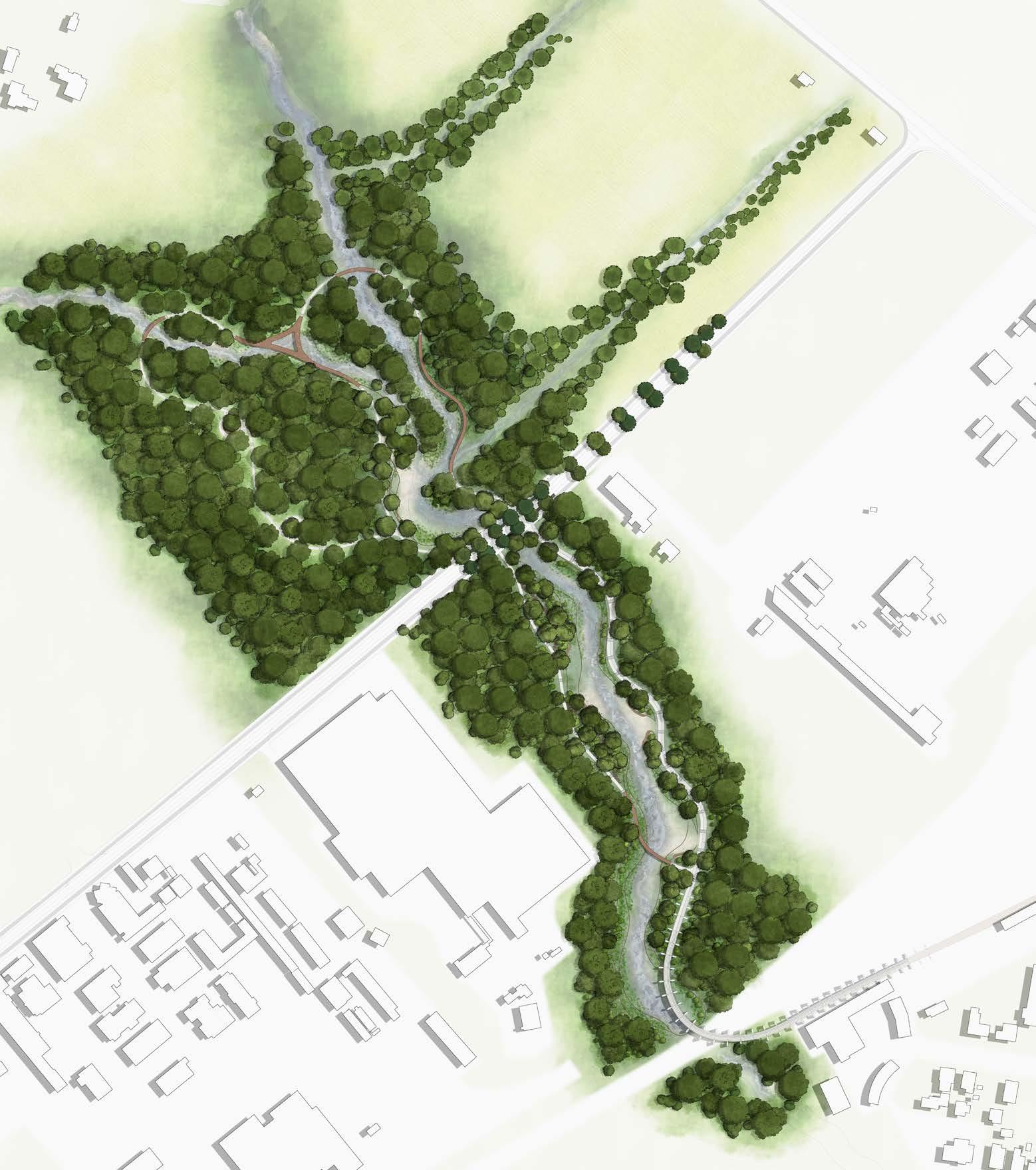
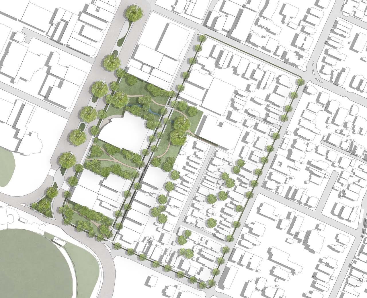
The intention for this project was to establish a contextual space within Masterton that encourages and creates opportunities for the local community to form a profound connection to the Mākoura stream, while simultaneously supporting the local wildlife ecosystems, such as the Tuna Kuwharuwharu, and community’s way of life.
The design works to create a pedestrian thoroughfare through the park connecting local residential areas to the Masterton train station; this aspect to the landscape design aims to encourage use of public transport by creating multiple ways to access the station other than via vehicle.
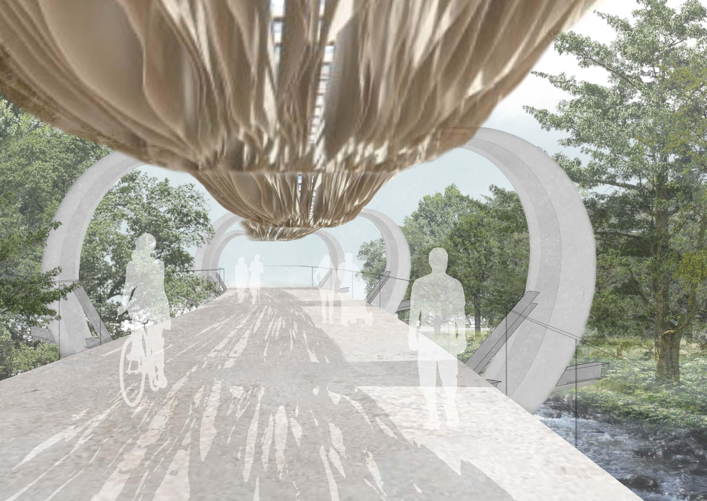
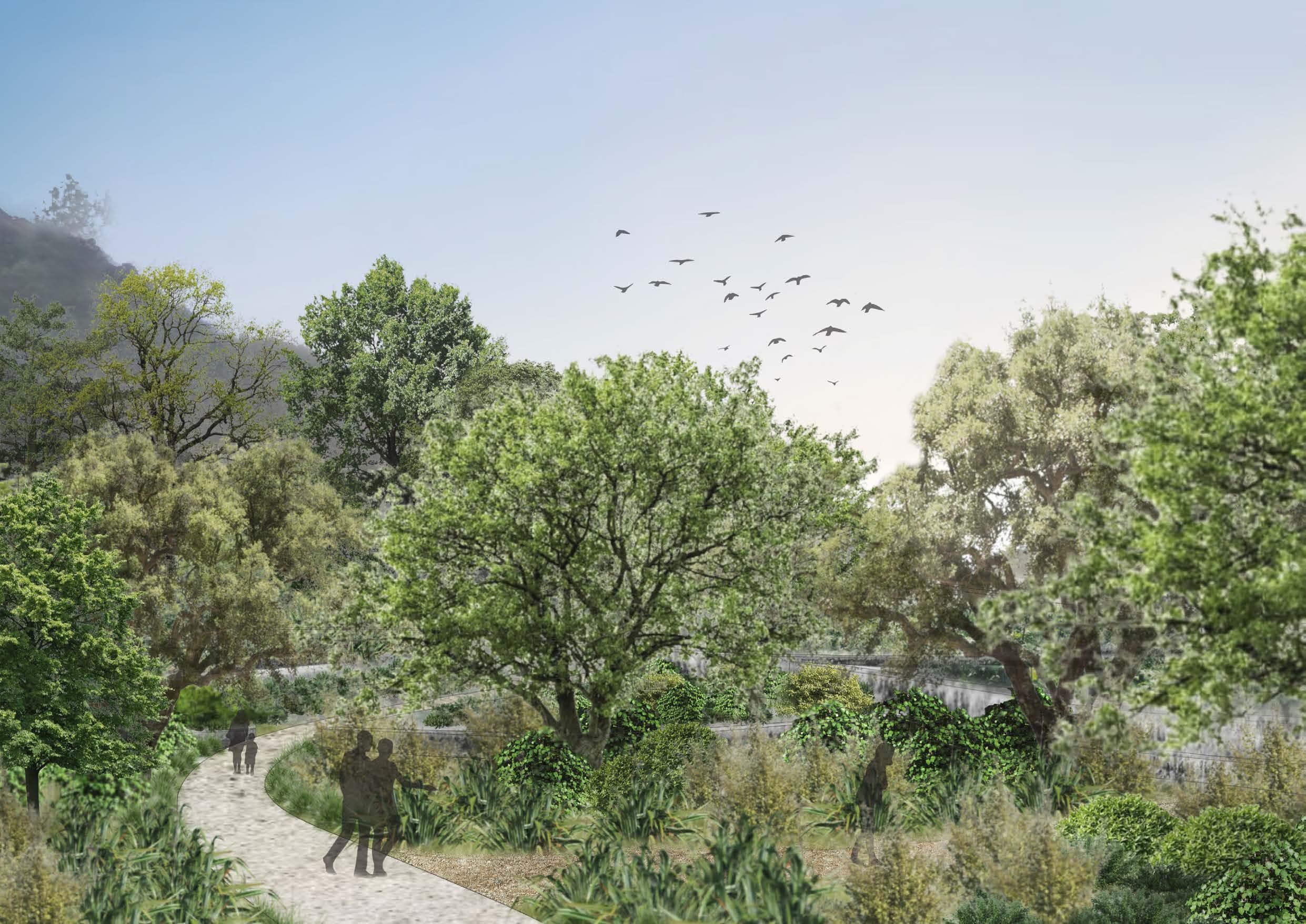
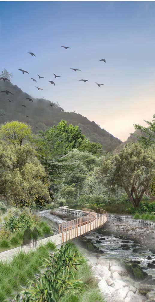
The space transitions gradually from a structured layout to a more naturalistic ambiance through carefully curated plantings and pathway designs. A key feature of this transition is the pedestrian bridge, which not only serves as a crucial element but also offers an immersible experience with its fabric sheets that gracefully dance with the wind, emulating the elongated fins of the Tuna Kuwharuwharu. Surrounding the bridge, imposing concrete structures reminiscent of an eel’s rib cage symbolically guide visitors on a metaphorical journey.
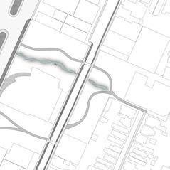
The design’s ecological factors include rehabilitating Mākoura stream by widening banks and restoring native Riparian planting to the stream sides, reinstalling flooding overflow areas such as wetlands and filtration terraces to support the resiliency of the urban area; catching contaminates from surrounding farmlands and roads. The design also installs structural eel habitats to support the endangered Tuna Kuwharuwharu’s (Long-fin Eel) natural migration habits, by creating caves and holes for the Eels to inhabit during the day until the natural banks and rocky bottom stream restore.
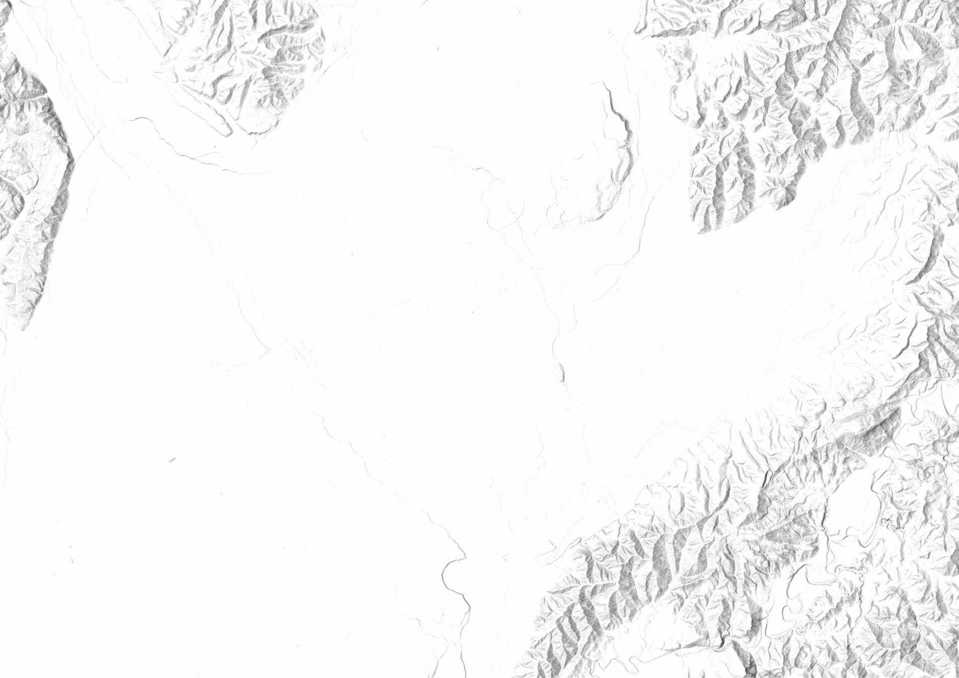
WIDE SCALE ANALYSIS: MASTERTON NEW ZEALAND
CONTEXT ANALYSIS: DESIGN FRAMEWORK:


CLOSE SCALE ANALYSIS: NGAUMUTAWA RD

To create supporting design systems in the context of the
that
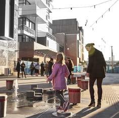
To create interactive public spaces and stream side designs that can enhance and support the local community’s way of living by supporting sustainable practices.
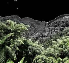
To create thriving stream side designs that support the local wildlife’s habitats and ecosystems to create a more thriving natural spaces for their way of life.
TENDENCIES TO IMPROVE THROUGH DESIGN:
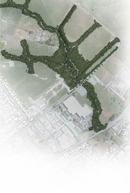
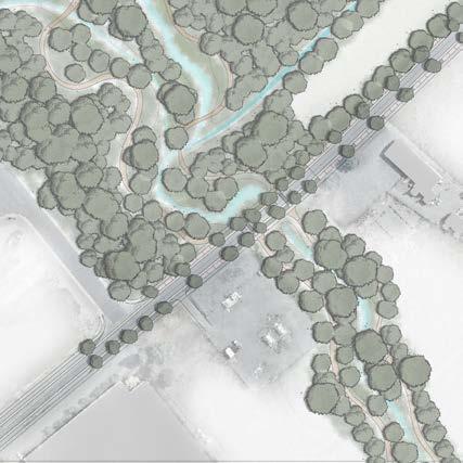


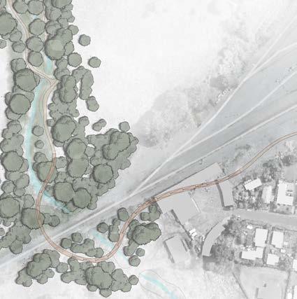

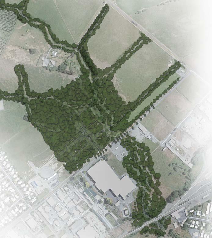
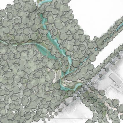
The final iteration implements a strong strategy for flooding support with a diverse range of topography to create wetlands and spaces for the stream to overflow into.
It aims to create community spaces near the Mākoura stream while connecting the residential buildings with the train station to encourage walking, cycling and use of public transport.

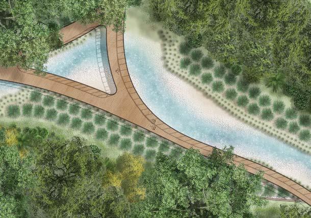
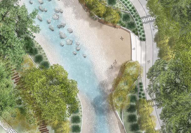
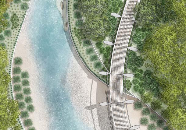
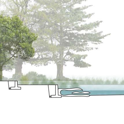
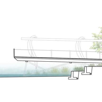
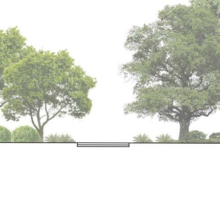
 STRUCTURAL EEL HABITATS
PEDESTRIAN BRIDGE
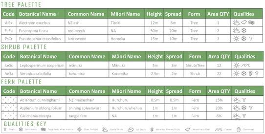
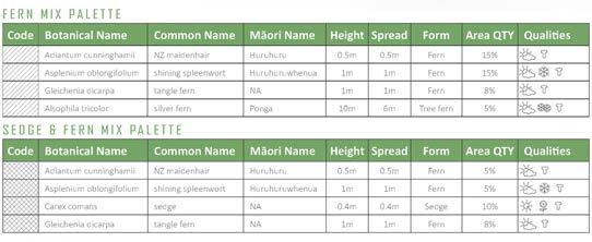
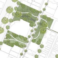
The planting in the design supports the storm water runoff retention capabilities along the terraces and wetland area while having interactive immersive human experiences along pathways. Creates restoration opportunities of native forestry.
Topography and drainage focuses on directing runoff towards vegetated terraces aiming to catch sedimentation before it reaches the Mākoura stream overall reducing contamination to the eel and fish habitats.
The topography has been changed to widen the stream bank edge to improve the flooding capabilities of the stream. Before the stream was channeled into a 2m drain meaning the stream would overflow into nearby farmland and properties.
The pathways aim to direct people to explore the native vegetated areas opening up to community spaces creating opportunities to interact with the stream. A bike path is added beside the walkway on the main path connecting to the train station.
PLANTING PLAN A:
PLANTING PLAN B:



Summary:
This project aims to create a design strategy that can be implement within the Kaiwharawhara Catchment in Wellington. It focuses on improve the streams resiliency to extreme weather events, creating connections between the community and the native environment through accessible Rongoā plants and connection points to the stream. The project proposes the implementation of various strategies to enhance the stream’s health, benefit local wildlife, and enrich the lives of residents.
These strategies include creating nature-infused spaces to foster mental well-being and a stronger connection to the environment, reducing sediment pollution in the stream to support a thriving aquatic ecosystem, and bolstering the stream’s resilience against future storm and sea level rise events. The Vacuous Urban Spaces initiative seeks to revitalize our cities by re-purposing underutilized urban areas for the betterment of their communities.
Rongoā Gardens positioned on accessible terraces for people to harvest
AVERAGE WEATHER EVENT: RAINFALL WEATHER EVENT: FLOODING WEATHER EVENT:
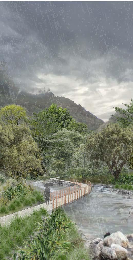
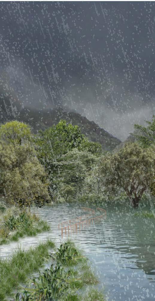
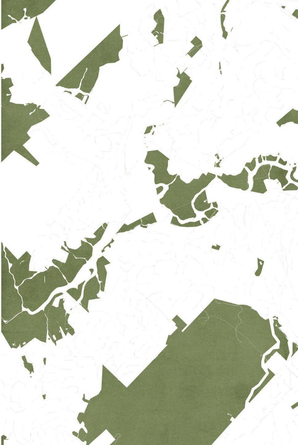
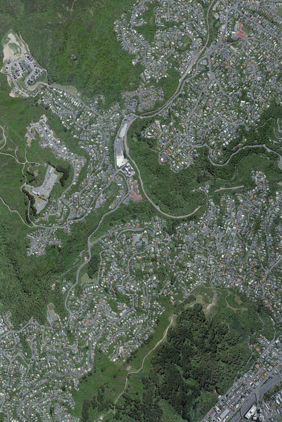
WIDE SCALE ANALYSIS 3D: KAIWHARAWHARA CATCHMENT


The area falls into a series of community and government plans for urban development such as the ‘Sanctuary to Sea Strategy’ project, Wellington City Council’s ‘Spatial Growth Plan’, and ‘Green Network plan’ being implemented into the urban environment.
Awa Stream Support aquatic native wildlife to thrive in healthy connected habitats
Enhance water quality of the Kaiwharawhara stream and tributaries
Ngahere Forest
Support the emergence of connected forest remnants and riparian zones
Promote healthy urban habitats and ecosystems
Tāngata People
Compact Greener
Potential Design Interventions:


Start the community on a path to recognize the catchment as a living entity and encourage active involvement in restoration
Vibrant & Prosperous
Create
Inclusive & Connected Resilient Mana Whenua
TREASURE and Protect what is Important
CELEBRATE the Value of Green with Partners
GROW the Number of Trees and Green Spaces
MANAGE what we create and have

Potential Design Interventions:


To improve and manage the
Potential Design Interventions:


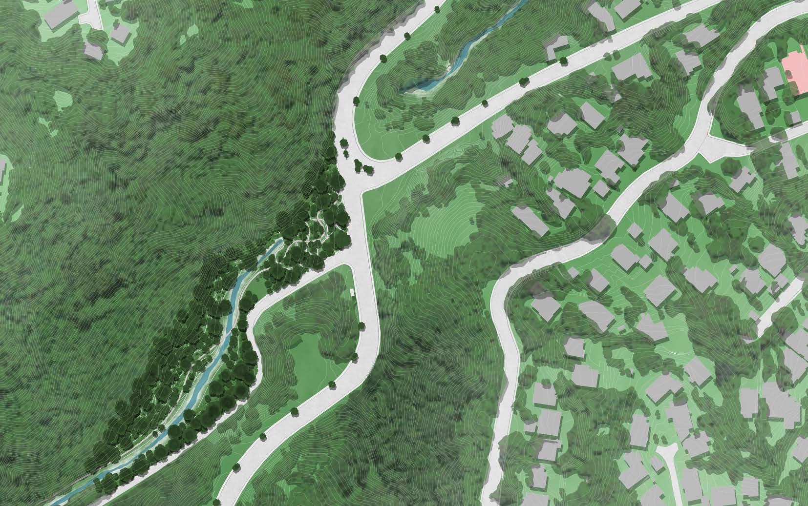
PROPOSED DESIGN INTERVENTIONS
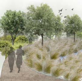
KEY RETENTION ZONES
Establishing retention zones along Kaiwharawhara catchment filters storm water runoff, bolsters flood resilience, and reduces sediment pollution for healthier wildlife.
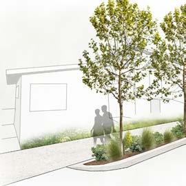
Rain gardens, bio-swales, and retention swales in vacant urban spaces slow storm water runoff and enhance residential pedestrian zones.

INTERACTION POINTS
These encourage community learning about Kaiwharawhara stream and native vegetation’s benefits, while accessible Rongoā plants enhance the nature connection.
Terraces designed to assist flooding
SECTION: DIAGRAMMATIC SECTION: SECTIONS + DIAGRAMS
Retaining walls designed to catch sediment to reduce flooded area polluting stream
Assists to reduce sediment runoff pollution.
Creates unique experience
As
Combine plants ideal growing
Place Rongoā plants in accessible places next to pathways to be harvested
Water resilient plants to assist with flooding
creating access to Rongoā gardens to harvest
Flooding Assist + Rongoā Gardens
Flooding Assist Gardens

1.883.75 7.5 15 m 0 16
Creates gradual assist areas throughout
Small catchment edges are designed into the retaining walls to store sedimentation
Rain Gardens create gradual catchment spots
Aims to reduce sediment pollution
Retention points as the water flows down
Rain Gardens are designed to flow into each other creating a multi-layer filtration system
Gardens assist in filtering water runoff for stream
Cleanses water before stream
Kaiwharawhara Stream Interaction Point
Open Space Potential for Play Area
Harakeke Garden
Māhoe and Kawakawa Garden
Koromiko Garden

Summary:
This project explores and analysis the potential of the Kent Terrace site to be developed to improve the usability of the location to align with the proposed Wellington City Council ‘Get Wellington Moving’ Project.
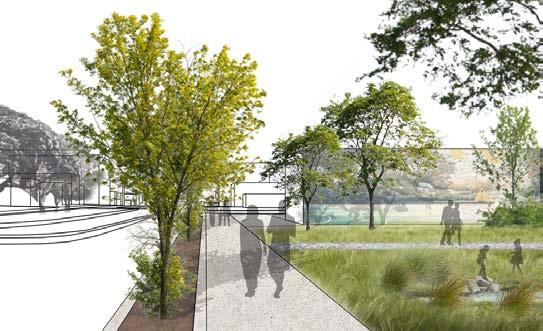
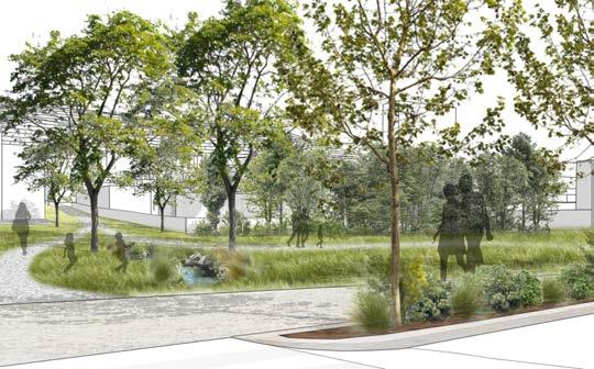
The intention of the development is to use the vacuous spaces (areas lacking of appropriate contents) to create an immersive urban design that will improve the walk-ability of the site, connect with the proposed public transportation light-rail and bus routes, create public green spaces that enhance the ecosystems, daylight/bring attention to the culturally significant streams piped through the site, add quality apartments and retail spaces, all while reducing the overall water runoff pollution from the urban context.


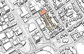
Older buildings unable to be refurbished or built upon should be removed
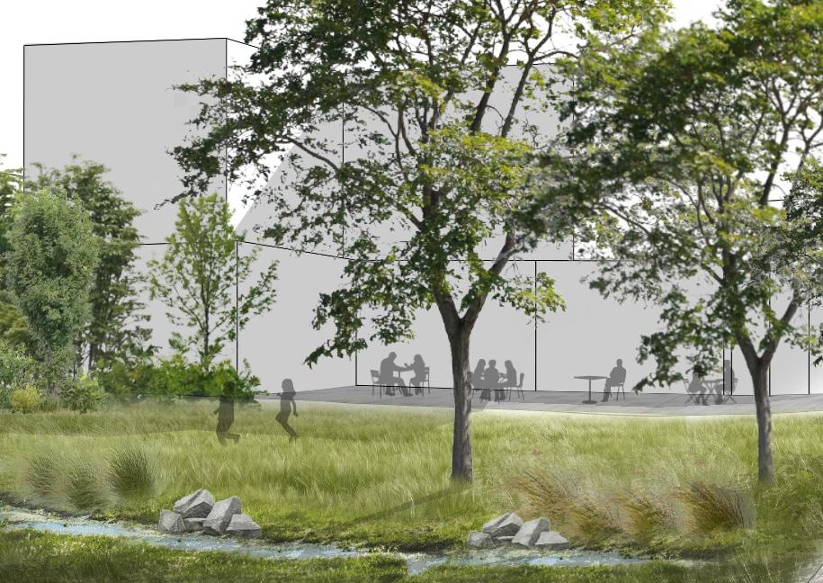
Daylighted stream helps with cultural significance creating connections to the water
Green Spaces create biodiversity and comfortable areas for people to enjoy
If structurally sound enough existing buildings should have medium density apartments built on top.
Industrial Buildings refurbished with local community engaging stores (restaurants, cafes, stores, etc)
Rain Gardens to help with creating green barriers and reduce water runoff pollution from main road

WIDE SCALE ANALYSIS: KENT TRC, TE ARO
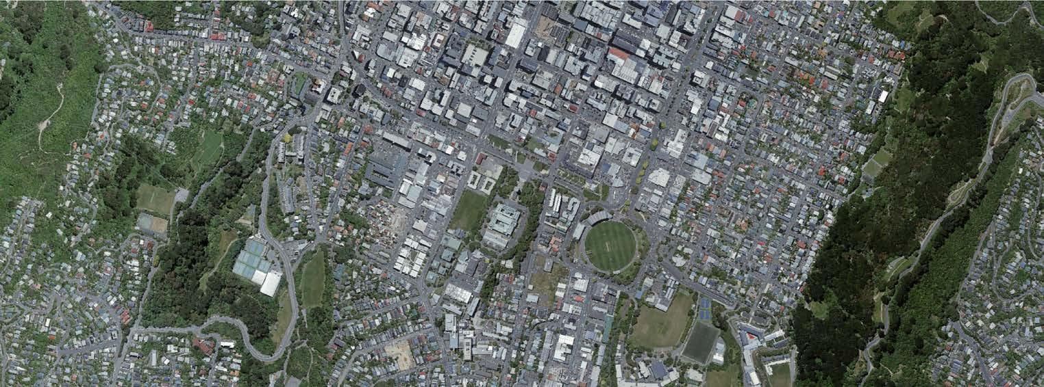
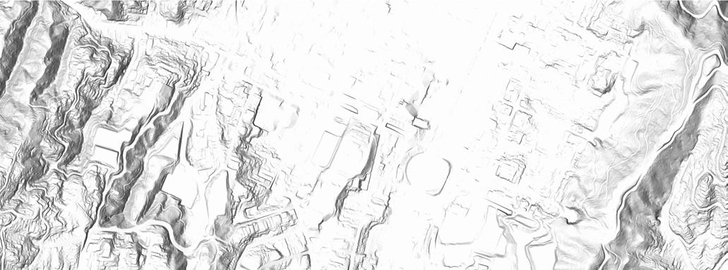

CLOSE SCALE ANALYSIS VEGETATION


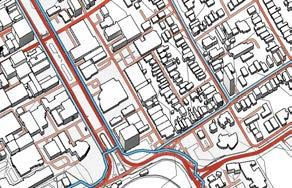




STREAM P1:
The stream running through the site should be daylighted to improve and support the natural ecosystem.
If unattainable, awareness of the stream should be bought through landscape design/mural artworks.
Pervious surfaces cover 50% to improve well-being and reduce heat island effect.
Green Spaces support the local ecosystem with plant species and to be designed to improve the human experience on site.
Improved with wide paths, green barriers, and human scale orientated design connecting to public transport areas.
Car parks should be limited to encourage people to use public transport.
The site has potential for public bus stops and a connection to the proposed light-rail route.
Comfortable stops for people to wait at are important, this should be achieved through CPTED principles.

P2:
P3:
Summary:
Communications Project: Fluid Structures
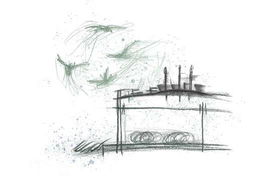
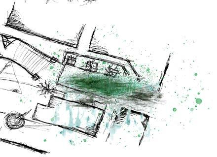
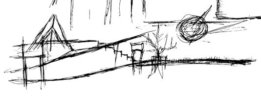
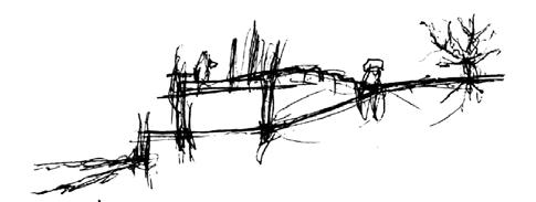
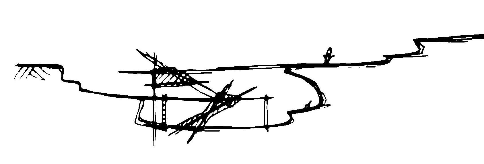
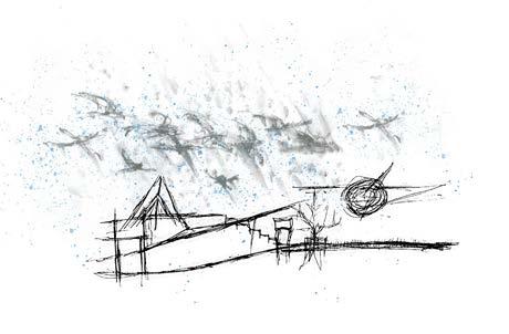
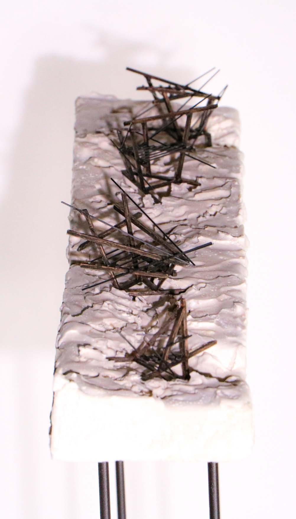
Inspired to sketch the elements of the Te Ngakau Civic Square on a rainy day I took the inspiration from how elements can influence and impact architectural materials.
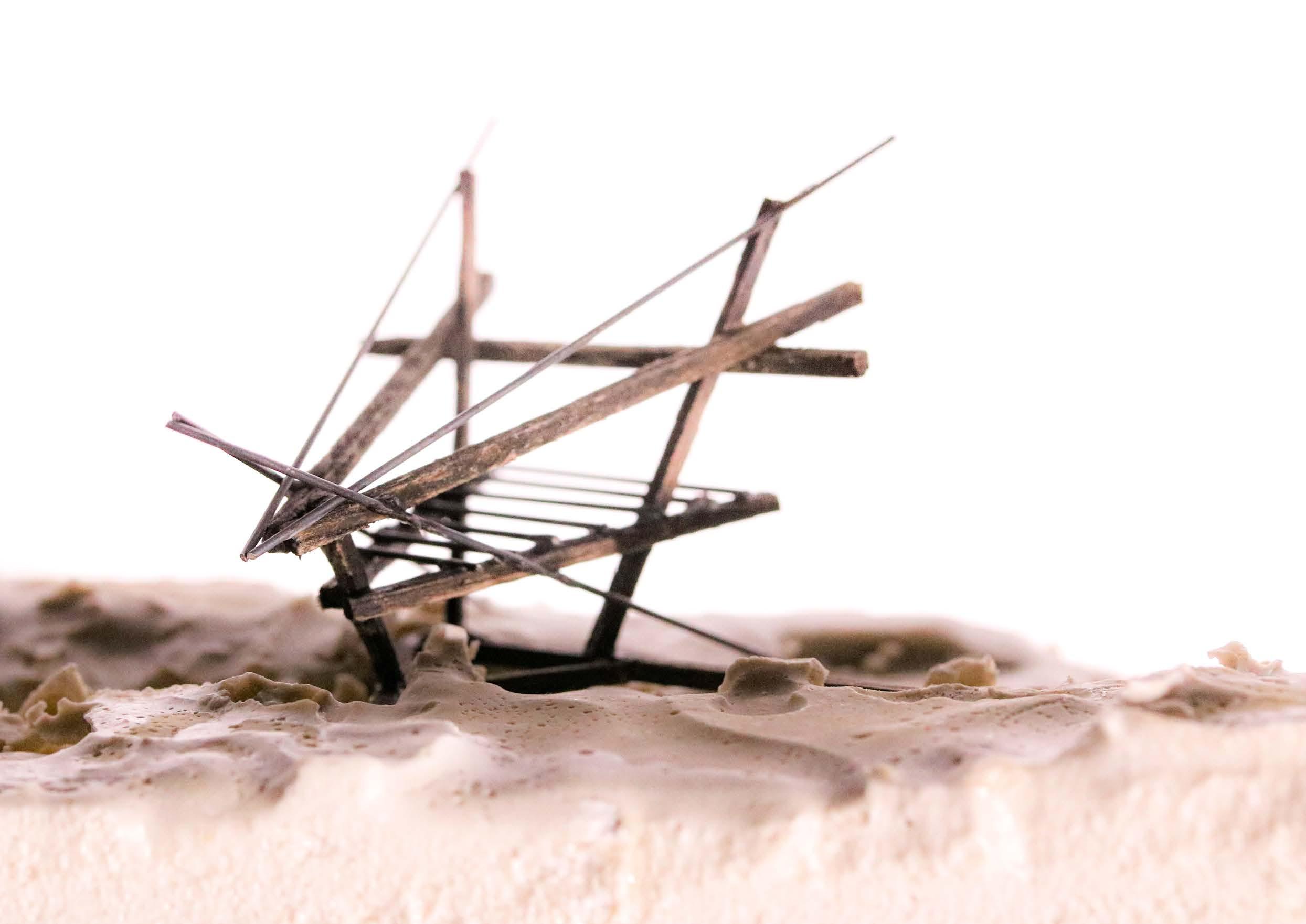
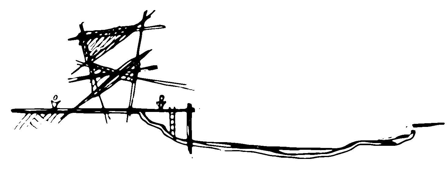
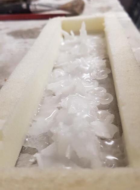
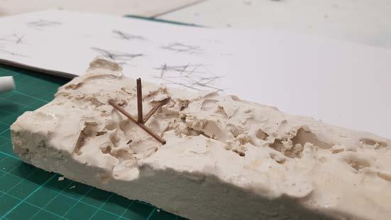
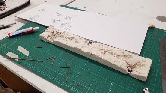
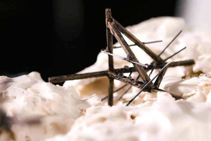
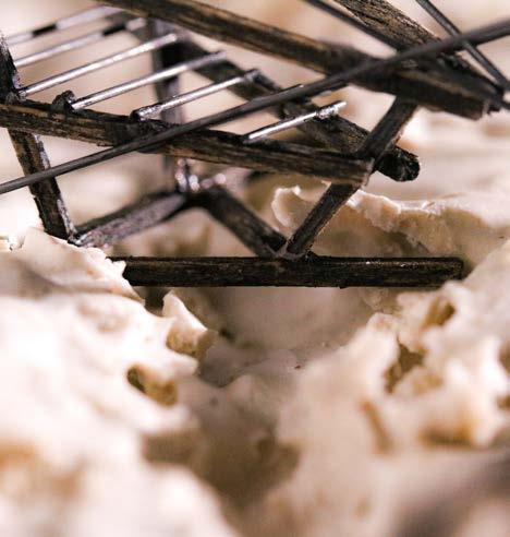
For this model I wanted to capture the idea of nature shaping architecture. I began with sketches of the Natural elements such as rain, vegetation, wind, and birds; I extracted shapes, textures and elements from these creating models out of wax, ice and more developing them further until reaching the final project model.
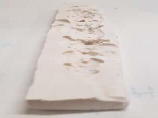
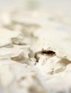
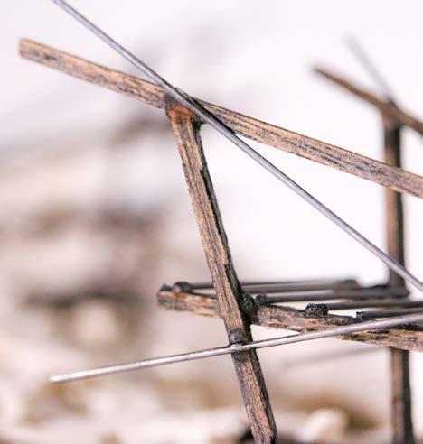
The model represents the idea of natural elements shaping and forming architecture. The structural elements within the model have been made to fit the unpredictable outcome of the negative print of wax in the plaster; with the wax representing the natural element of water, rain, and fluid that I observed within the Civic Square encompassing the environment. I wanted to create a design where the pavilion is shaped to fit the landscape, rather than creating a ground plan for a structure. Allowing the fluid elements to form and push my design process like that of how it shapes and inhabits a cityscape.






Thanks for Viewing!
PORTFOLIO Landscape Architecture 2021 - 2023 - Zoe Mason