Leatherby Falls
Forty Foot Falls
Agate Falls Bond Falls
we’ll give you directions to some other waterfalls that are just a short drive away. Among them are these:
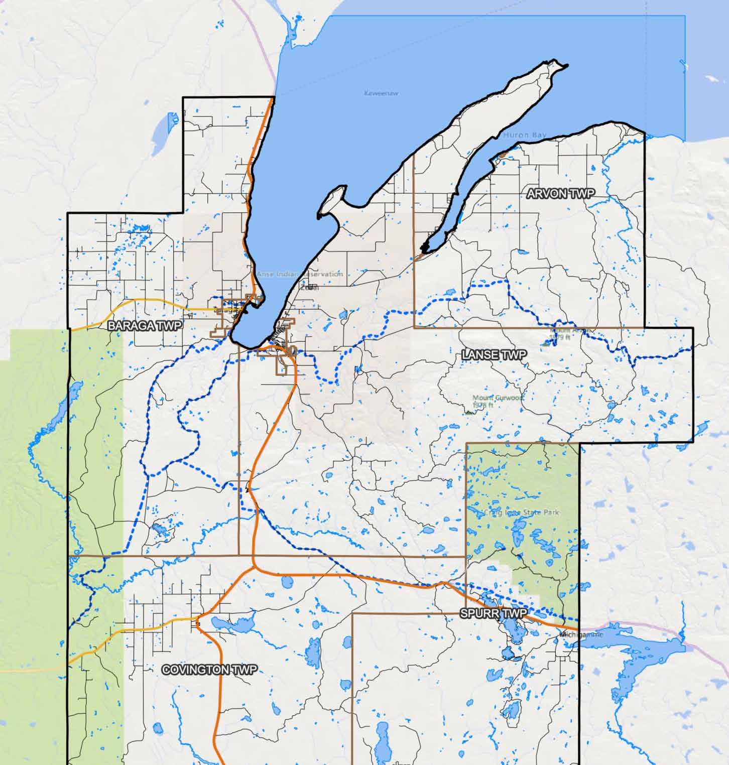
Can’t get enough of waterfalls? We understand that rush to see these places. Baraga County is situated nicely when it comes to waterfalls in nearby counties. Stop by the Convention and Visitors Bureau, 755 Broad St, L’Anse, and


Want More?
From the roadside park it is an easy 5-minute walk to the falls.
Covington: Tioga Falls is located 20 miles south of L’Anse on the south side of US-41 at a State Roadside Park complete with picnic tables and restrooms.
Tioga Falls
L’Anse: Go south to M-28 (approx. 12 miles), take M-28 to Plains Rd. (2 miles west of Covington), turn north, go 3 miles until you cross the Sturgeon River. Continue on road until it makes a right curve. Turn left on the first dirt road, go approx. 0.2 miles to fork, then left. There are some signs to mark road. Falls are about 1/2 mile further, road ends here, and you can easily turn around. It is about a 5-minute walk to the falls. Use caution during wet weather as the road may not be passable.
Tibbets Falls
From Sidnaw: Take M-28 (1/2 miles east of Sidnaw) to Forest Road 2200 and go north. Cross the Sturgeon River near the campground and continue to junction w/Forest Road 2270. Go left 1/2 mile to Gorge trailhead.
it’s another mile. When you come to the T-intersection, take a right and there’s a sign that says “Bears Den.” There is a parking lot and then a 5-minute walk to the overlook.
Overlook
11
Sturgeon Falls/Gorge
L’Anse: 8-1/2 miles from the Visitors Bureau. Enjoy this scenic picnic spot with very easy access. Go six miles northeast of L’Anse on Skanee Road, turn right at Falls Rd., travel to end of road. From there you can view the first falls, then walk 100 feet down the foot trail to a second, even more beautiful falls.
Silver Falls – Silver River
9
L’Anse: 2 miles from the Visitors Bureau. Take US-41 approximately 1-1/2 miles south of L’Anse. Turn right at Power Dam Rd. Follow Power Dam Rd. until you pass railroad tracks, road takes a sharp right, go straight ahead on dirt road to a Y, turn right, this brings you to the falls.
Power House Falls – Falls River
The trailhead starts in the parking lot. A new boardwalk was constructed in 2021. About a 10-minute walk to view the falls.
L’Anse: Canyon Falls is a beautiful box canyon and waterfall with several levels of falls. It is considered the Grand Canyon of Michigan. Canyon Falls is located eight miles south of L’Anse on the south side of US-41 at the roadside park.
Canyon Falls
8
L’Anse: Less than 1 mile from the Visitors Bureau. Falls are by the bridge on US-41, just north of L’Anse. There is a small parking area by the bridge.
Mitten Falls
7
6
L’Anse: Less than 1 mile from the Visitors Bureau. Follow the same directions as the Lower Falls. When you reach the Lower Falls, continue on the path upstream that runs alongside a high bluff. Middle Falls can be viewed from atop this bluff. Difficulty level: 1-2
L’Anse: Nice cascading falls less than 1 mile from the Visitors Bureau. In L’Anse, take Broad St. down the hill to the intersection of Broad & Main, at the blinking light. Turn left on Main St., and go 2 blocks to the CertainTeed Plant, don’t cross the bridge. Park in lot on the left. Follow the path upstream to the Lower Falls.
Covington: Absolutely beautiful falls on the Sturgeon River, 17 miles southwest of Baraga. From Baraga: Take M-38 west and go 8-10 miles to Prickett Dam Road. Turn left (south) and go approximately 2-1/2 miles, and turn right towards Silver Mountain. Go past Prickett Lake Dam & boat launch area (approx. 2-3 miles) and you’ll come to the Silver Mountain access road (about 3-4 miles). Climb 300+ steps to the top and you’ll be rewarded with a breathtaking view of Prickett Lake. At this point, you’ve gone 5-7 miles, next you will cross the bridge over the Sturgeon River & continue southeast along Forest Road 2270 about 2-3 miles to Sturgeon River Gorge Wilderness trailhead, which is on your right, and the parking lot is on your left. The hike down will take you about 25-30 minutes. If you want to continue on to the Sturgeon Gorge

4
falls is Black Slate Falls, which starts as a rapid, then drips over rock formations in three distinct sections before it continues downstream a few hundred feet to Quartzite Falls.
L’Anse: 15-1/2 miles from the Visitors Bureau. Take Main St./Skanee Rd., out of L’Anse to Arvon Rd. Turn right, go 3.3 miles and park near the wooden bridge. There will be a trail on left side of Arvon Rd. that leads to the falls. Falls are a short distance and within a few hundred feet of each other. Falls can be accessed by a short, easy trail through the forest. The farthest
Quartzite Falls & Back Slate Falls – Slate River
Parking lot is right there. 3
Picnic tables and rest rooms are available. Difficulty level: 1-2 5Falls River Trail