3
BANNOCKBURN SLUICINGS
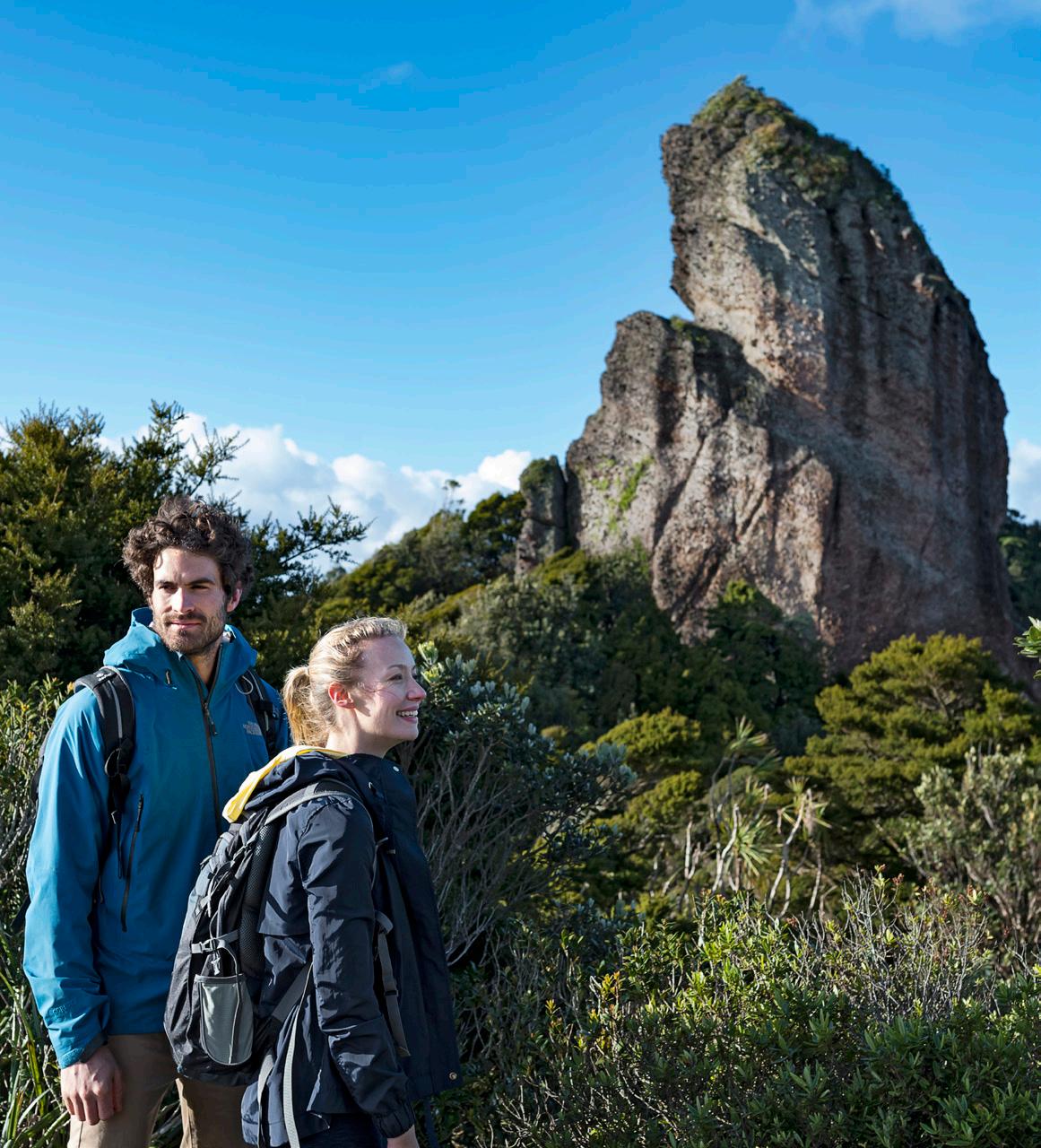
TRACK OVERVIEW The walking track gradually climbs up above the cliff faces, where you have a wide view of how people from the past and present have shaped this land. This desert is not a natural site, but the 150-year-old aftermath of the Otago gold rush. It was created by a technique known as ‘hydraulic sluicing’ where water was blasted at the hills to release the gold. What looks desolate from the entrance turns into a rough, raw and rewarding walk through a valley of caves, tunnels and rock tailings left untouched since abandoned by the last of the gold miners.
Dogs on a leash only
The spectacular landscape of the Bannockburn Sluicings near Cromwell can be explored on foot or by mountain bike.
1.5hr; 3.5km loop track
Where is it?
Moderate fitness required Cliff faces and steps
Cromwell's gold flux may have dried up since its 19th century heyday, but the same can’t be said for its rich harvest. Regarded as the ‘fruit bowl of the south’, summer brings peaches, nectarines, apricots and cherries, while vineyards pour a multitude of pleasant drops.
Travel 6km southwest through Cromwell, and cross Lake Dunstan to get to Bannockburn. This site can be accessed from Felton Rd. For those with little time, there are vantage points that can be reached by car, and walks that take just 10 minutes. If you’ve got more time to spare, trace the water source back up to the Menzies Dam in Stewart Town. There are remains of a stone cottage, an early 19th century orchard, and great views across Cromwell and Bailey’s Gully.
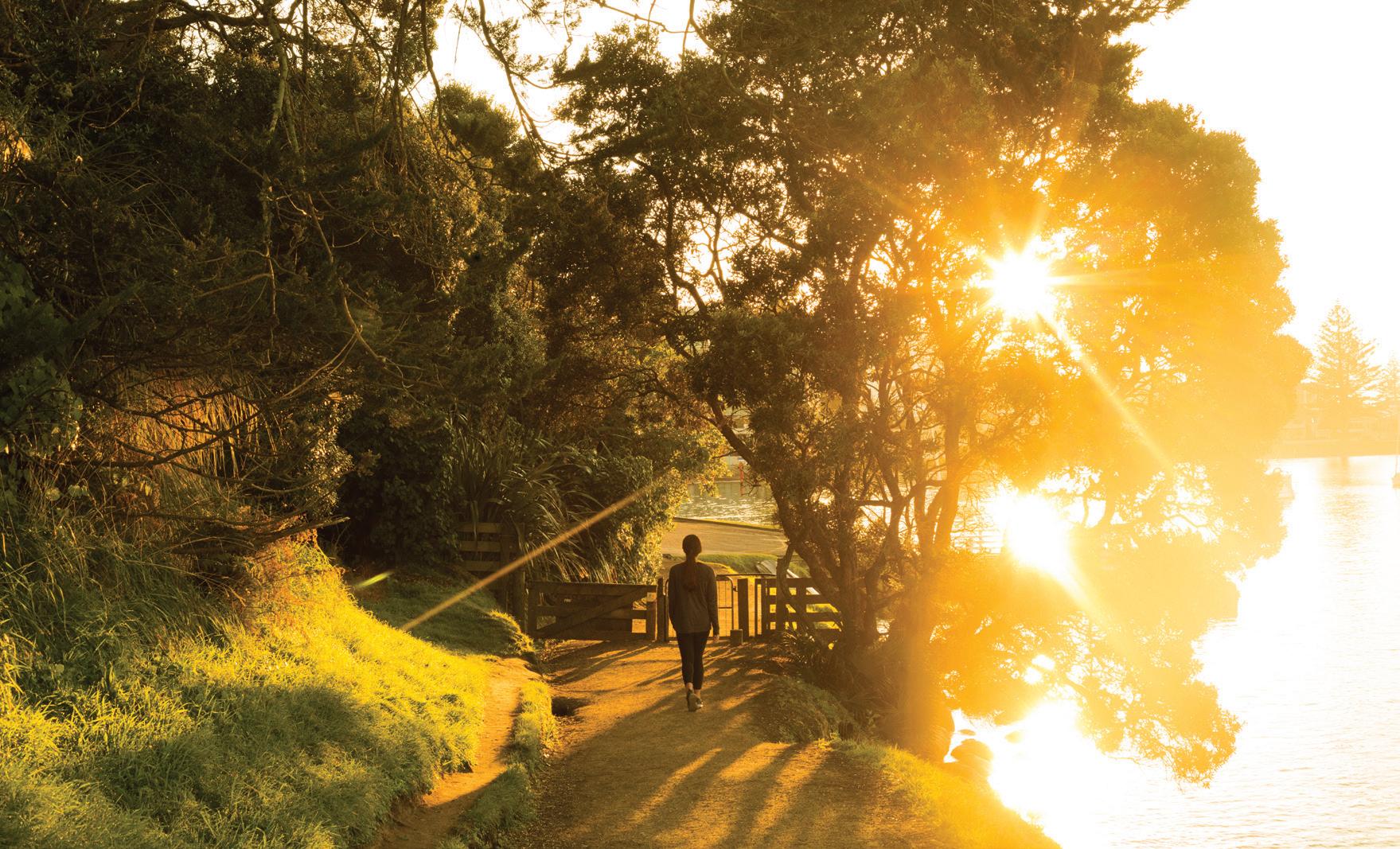
Terrain Moderate fitness is required as this walk climbs up above the cliff faces and includes steps. There are vantage points that can be reached by car and smaller walks also. LEFT: Misha's Vineyard © Image Central ABOVE: Walking in the Bannockburn countryside © Getty Images INSET: Bannockburn vineyard © Suellen Boag
WALKING MUST-DO’S 79