The following presentation outlines our initial thoughts on how the site’s opportunities and constraints may shape our proposals. Your feedback at this early stage of the process will help form the detailed planning application.

Our aim is to strike a balance between important considerations, such as protecting wildlife in woodland areas whilst encouraging engagement with the river for education and enjoyment.

We are dedicated to ensuring that the wider site, including all commercial spaces and homes, is carefully designed. A second Reserved Matters (detailed) application for the wider site is being developed, and there will be further public consultation on this aspect. Our goal is to submit this second application by the end of 2023.



Saxonvale will feature a minimum of 45,000 sqft of expansive enterprise space, including a purpose-built co-working facility, retail, cafes and restaurants that complement the existing thriving town centre. We are committed to creating a desirable and sustainable neighbourhood with up to 300 new homes, of which 72 will be affordable, making a significant contribution to addressing the local housing need.
 72 affordable homes New play equipment Two acres of new parkland co-working space to create in excess of 500 jobs
New footbridge £2m S106 contribution towards new schools and highways
New public and private car charging
A minimum of 45,000 sqft of commerical space including retail, cafes and restaurants
Welcome
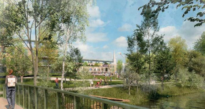
Artist impression - view crossing new footbridge from Willow Vale towards Saxonvale
Thank you for attending this consultation event for the first detailed planning application for Saxonvale. We are excited to bring forward our plans for the riverside park, footbridge, and new play area, all key elements in supporting a vibrant community.
45,000
SQFT
Connections
The site has remained derelict for over 20 years, it is currently unsafe and inaccessible for the public. Opening up the site will transform the town, providing new connections and improvements to the residents and businesses. The footbridge is key to this.
Technically, the bridge is a challenge but from our team of experts and through consultation, we hope to find a solution.
The footbridge will be for pedestrian use only, wide enough to accommodate a wheelchair user and pram, cyclists will be allowed to cross once they dismount.
The design takes into consideration flood levels and ecology constraints to name but a few.
The river is a bat highway so how we light the bridge is also key.
Due to flooding, we will need to agree the height of the bridge with the Environment Agency to ensure floating debris during a flood is not obstructed.
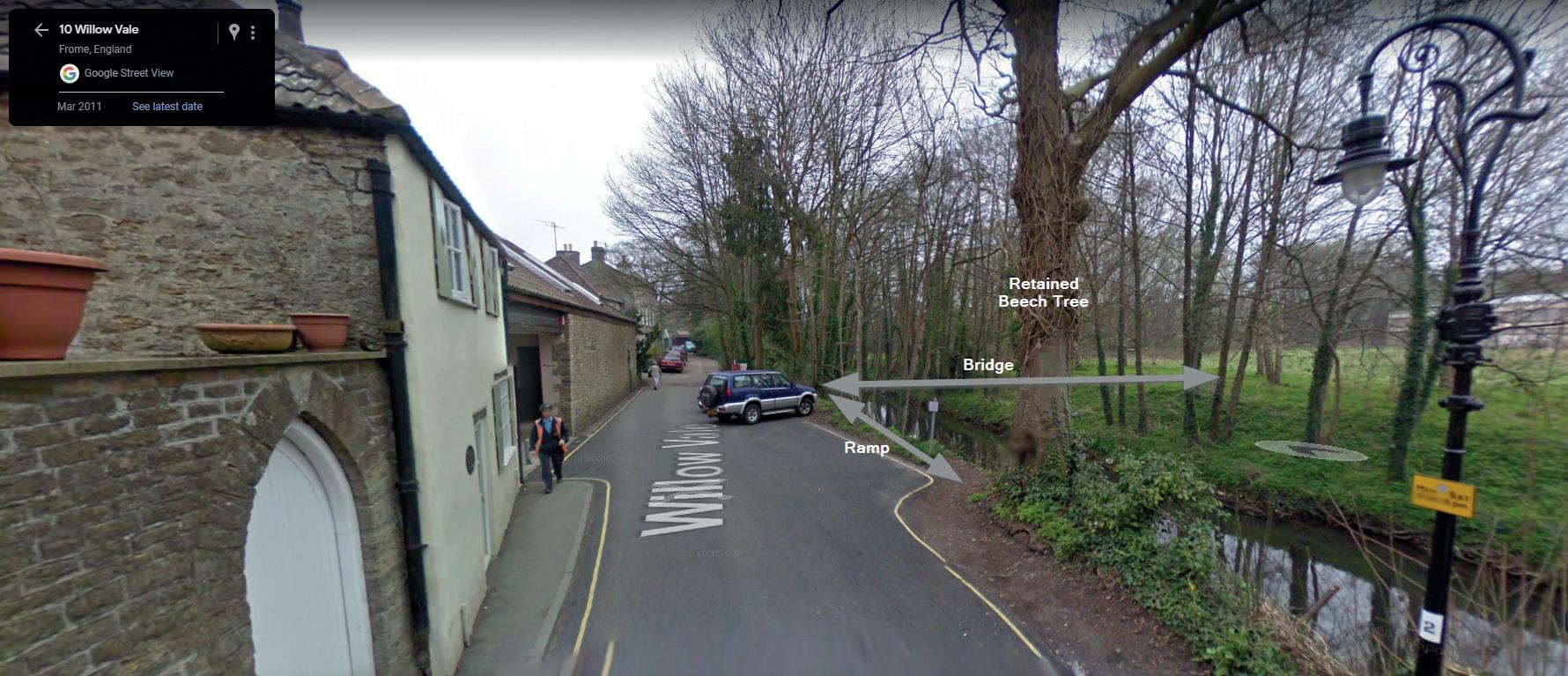
We are striving to achieve ramp access on both sides of the bridge and this will be discussed with the highways authority.
The bridge will land along Willow Vale, on a plot of land owned by Somerset Council.
This diagram shows how links to green space are improved
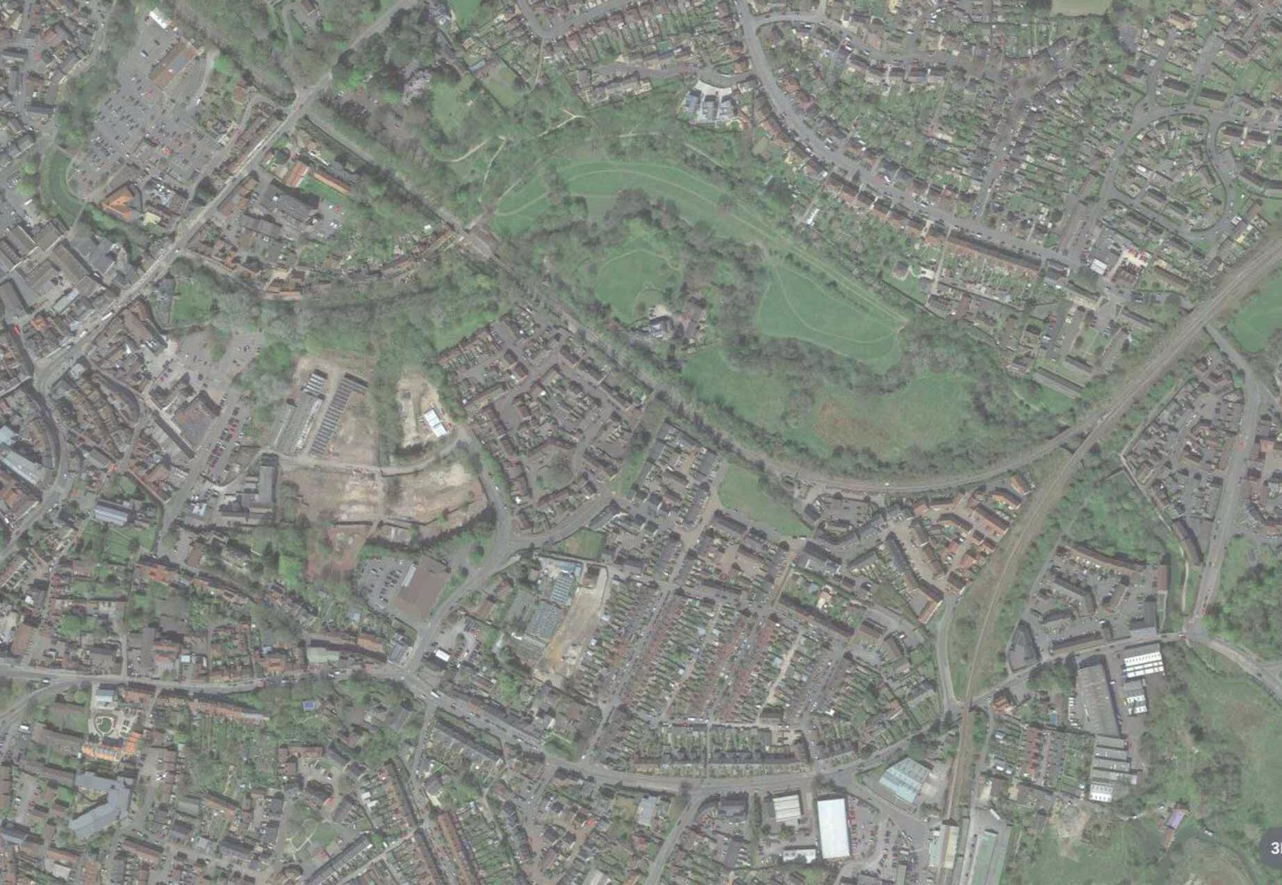
BS BS BS BS BS BS BS BS BS BS Ra ilw ay Railway Station Cattle Market Car Park Rodden Meadow MarketPlace P o r t w a y Ga r s da le Lidl M&S car park Frome Riv e r Fr o me Rodden Rd Ri v e r R a i l w a y Reserved Matters 1 application boundary New Paths within RM1 Site Full site with outline planning permission LEGEND 10 minute walk to train station Existing 6k Run via Willow Vale 15 minute dog walk Rodden Meadow 2k Run from new public open space 17 minute walk to train station via Rodden Meadow 4 minute walk to from Cattle Market Car Park BS Nearest Bus stops
Riverside Park: sustainable community space in the heart of Saxonvale
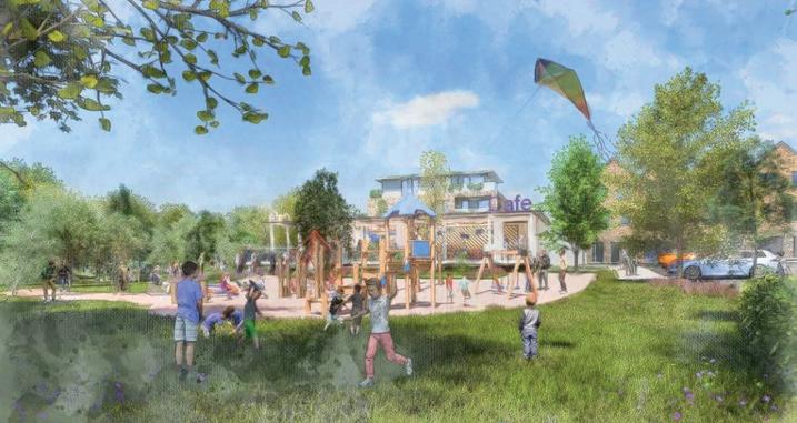
Saxonvale will be an uplifting, highly sustainable, forward-looking place, inspired by Frome’s unique character and the history of the site.
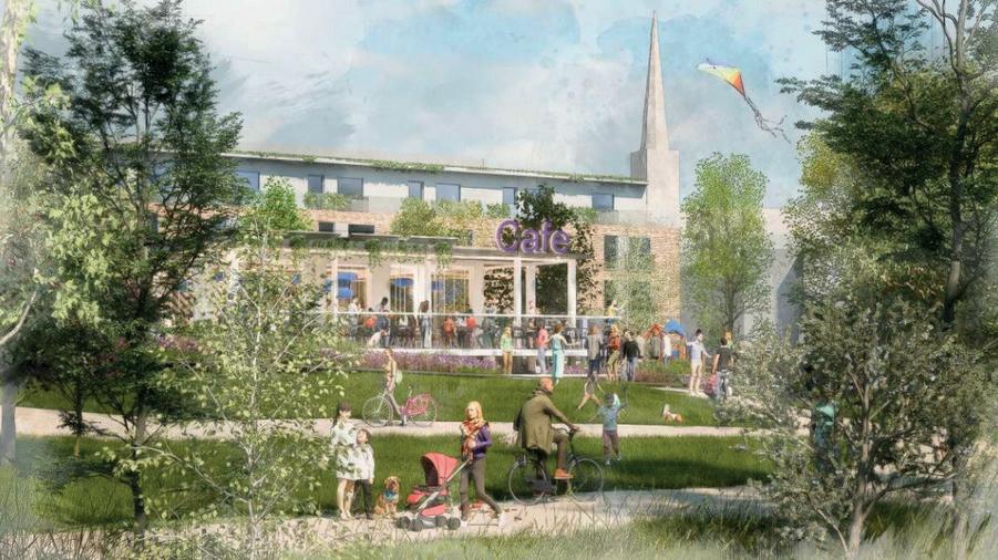
The Riverside Park will form a significant part of the proposed development, and it has been guided by the One Planet Living® sustainability framework, which helps developers and communities around the world to achieve their visions of a brighter, more sustainable future.
The framework – created by awardwinning sustainability consultants Bioregional - covers ten simple principles that cover all aspects of social, environmental and economic sustainability, ensuring that nothing gets overlooked in the creation of a new, sustainable neighbourhood for Frome.


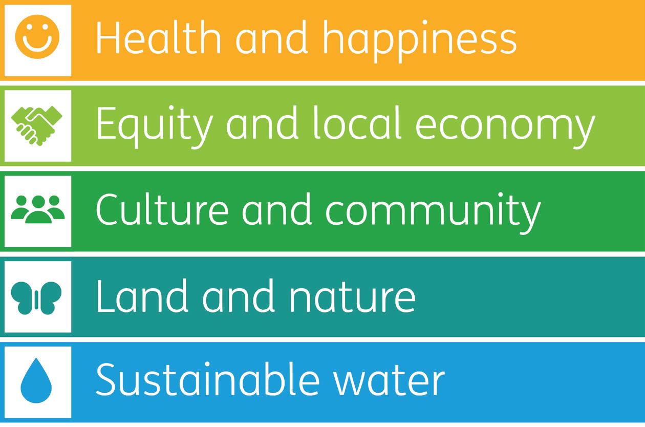
Globally we are living as if we have more than one planet’s worth of resources. If everyone in the world had lifestyles like the average person in the UK, we’d need three planets to support us.

Imagine a world where everyone, everywhere lives happy, healthy lives within the limits of the planet, leaving space for nature. This is called One Planet Living.

The riverside public open space will be the heart and lungs of the community with opportunities for those of all ages to socialise.
Existing trees will be complemented by new native species. There will be wildlife ponds, wildflower meadows and planting to attract bees and butterflies. There will be bee bricks, nest boxes and bug hotels. Only peat-free compost will be used, and the aim is to increase the site’s biodiversity by 10%.

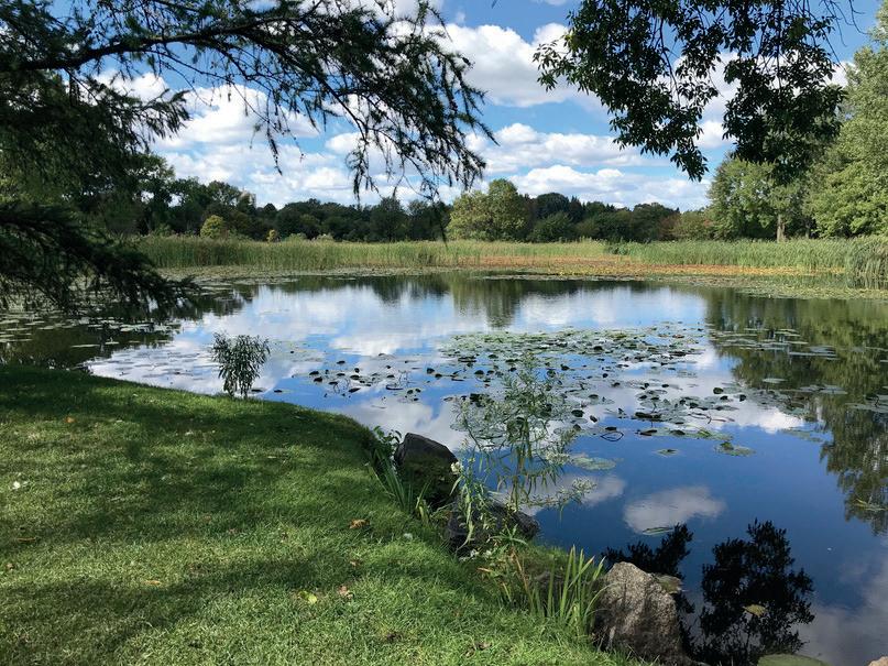
Following Sustainable urban Drainage principles, water flow will be slowed down. Attractive pond areas will help with water management, as well as increasing biodiversity and improving the quality of water flowing into the river.
The site is being designed to reduce car travel and increase walking and cycling. A proposed new footbridge will connect the site to walking, running and cycling trails. Plenty of bike parking and a bike sharing scheme will help residents enjoy active travel through the park and beyond.
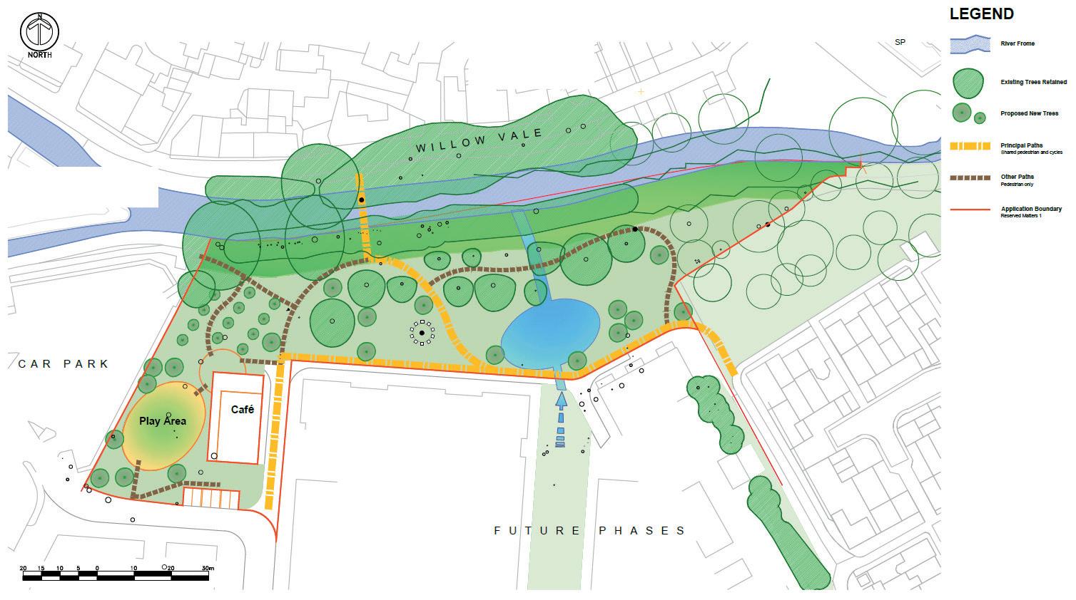
The riverside area will include formal and informal play areas, a boules pitch, dog-walking areas and opportunities to sit and enjoy nature.
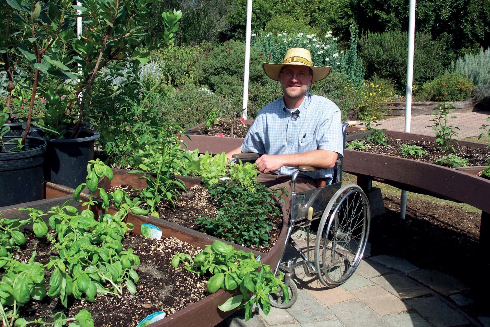
Using food-growing and sharing to bring communities together is has proven to be very successful. Community allotments and veg beds will be designed to be available to all, and wheelchair friendly.

To reduce consumption and save residents money, there will be a communal tool shed for all to use, which encourages a local sharing economy, and strengthens the sense of community.
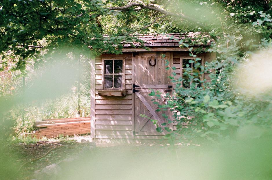 Additional image credits: Goulet Isabelle, Sandie Clarke and Sebastian Huxley, all via Unsplash
Landscape Constraints
The Park is approximately 2 acres in size (equivalent to two football pitches). The majority of the park will be left as a natural woodland with pockets of open green space and footpaths meandering throughout, connecting to the new footbridge. The future buildings will overlook the park providing natural surveillance.
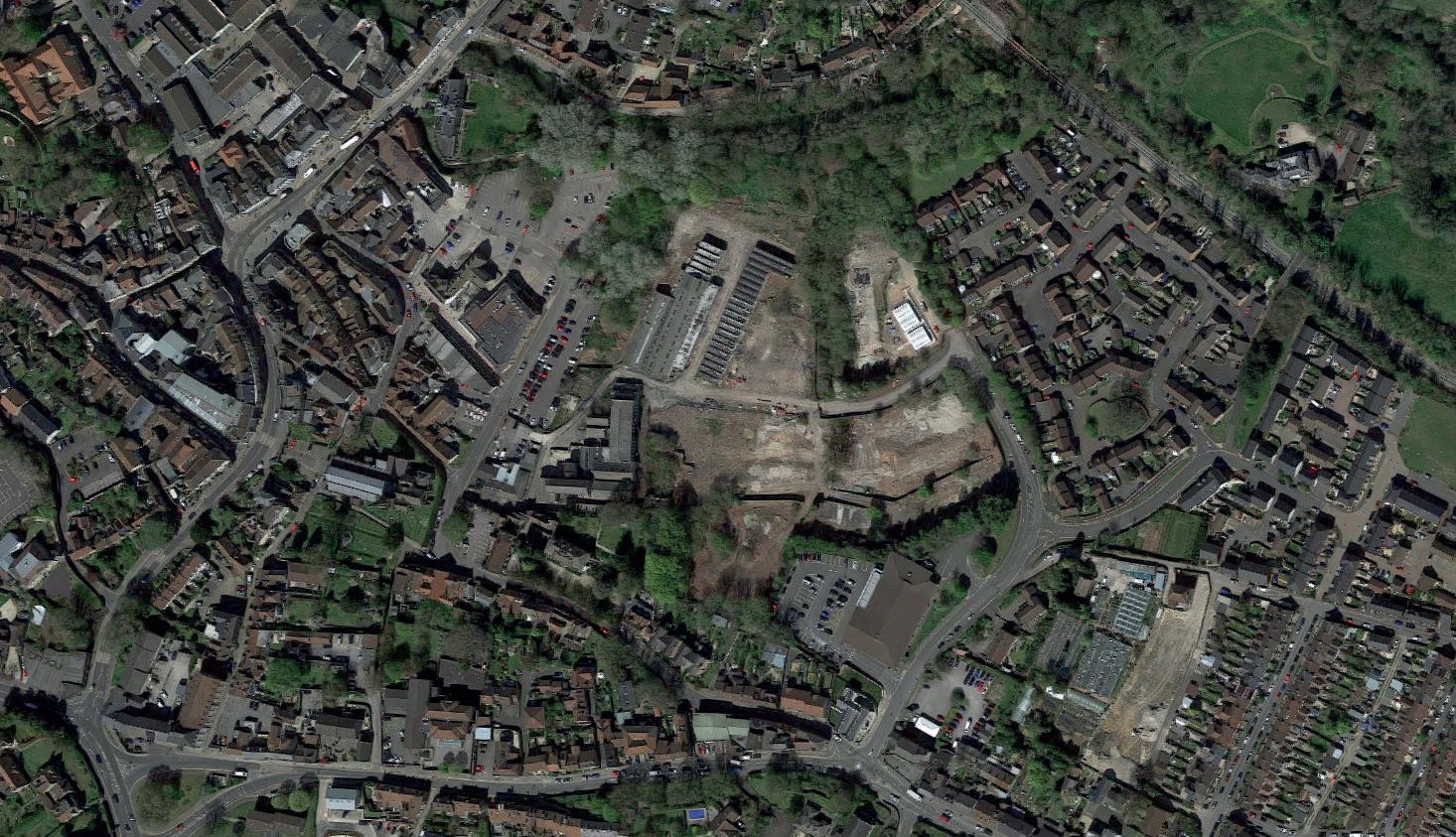
The following constraints have been taken into consideration
Footbridge
Currently
Footbridge
Drainage Ditch
Classified
Drainage Ditch
Classified as Ordinary Watercourse. Opportunity for improved wetland pond habitat for bodiversity and as part of a sustainable drainage system
Woodland Opportunity to improve and manage for greater biodiversity
Riverside Path
Incomplete path, does not lead beyond current car park, but potential to link into the site for improved permeability
Classified as Main River. Opportunity for conservation of habitat and improved opportunities for human interaction
Incomplete
Existing
Existing
Space Opportunity to combine spaces into one subject to owners and residents agreement
Existing Cycle Rote
· Reaches dead end here
Existing Trees Retained River Frome And other watercourses Tree Root Protection Area Combined area for all retained trees Existing Trees Proposed for Removal Based on condition and optimizing balance of open and shaded areas Potential Access Points to public open space Conservation Area Boundary (dashes indicate inside area) Tree Preservation Order Boundary (dashes indicate inside area) Existing Cycle Rote Opportunity to extend and connect Application Boundary Reserved Matters 1 Flood Level 100 yr + 26% for climate change based on new flood level data
SP
Riverside Path
link
the site for improved permeability
path, does not lead beyond current car park, but potential to
into
tree
planning
identified location for footbridge determined by land ownership and
constraints Road Layout New road with existing detailed
approval
for greater biodiversity
as Ordinary Watercourse. Opportunity for improved wetland pond habitat for bodiversity and as part of a sustainable drainage system Woodland Opportunity to improve and manage
Cycle
Reaches dead end here
Opportunity to extend and connect Existing Green Space Opportunity to combine spaces into one subject to owners and residents agreement C A R P A R K
Frome Classified as Main River. Opportunity for conservation of habitat and improved opportunities for human interaction Existing Trees Retained River Frome And other watercourses Tree Root Protection Area Combined area for all retained trees Existing Trees Proposed for Removal Based on condition and optimizing balance of open and shaded areas Potential Access Points to public open space Conservation Area Boundary (dashes indicate inside area) Tree Preservation Order Boundary (dashes indicate inside area) Existing Cycle Rote Opportunity to extend and connect Application Boundary Reserved Matters 1 Flood Level 100 yr + 26% for climate change based on new flood level data
Rote ·
·
River
SP
Road Layout New road with existing detailed
Currently identified location for footbridge determined by land ownership and tree constraints
Green
· Opportunity to extend and connect A R P A R K
River Frome
LEGEND
Ecology & Wildlife Constraints
Woodland is an important roosting habitat for bats as they roost in cracks and holes within trees. Often young trees, such as the ones in Saxonvale lack these attributes. Bat boxes can be installed into trees to provide artificial features for roosting bats.
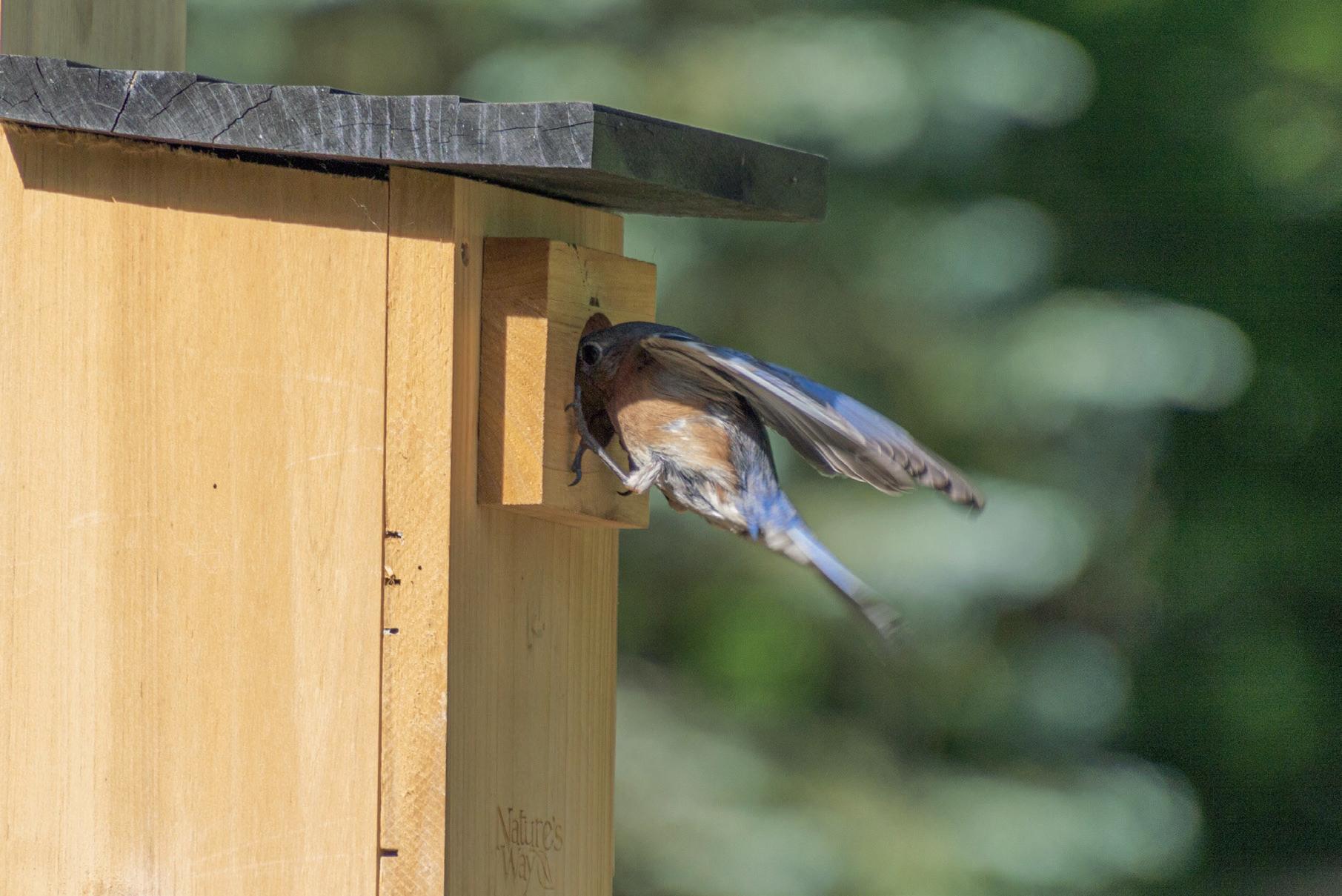
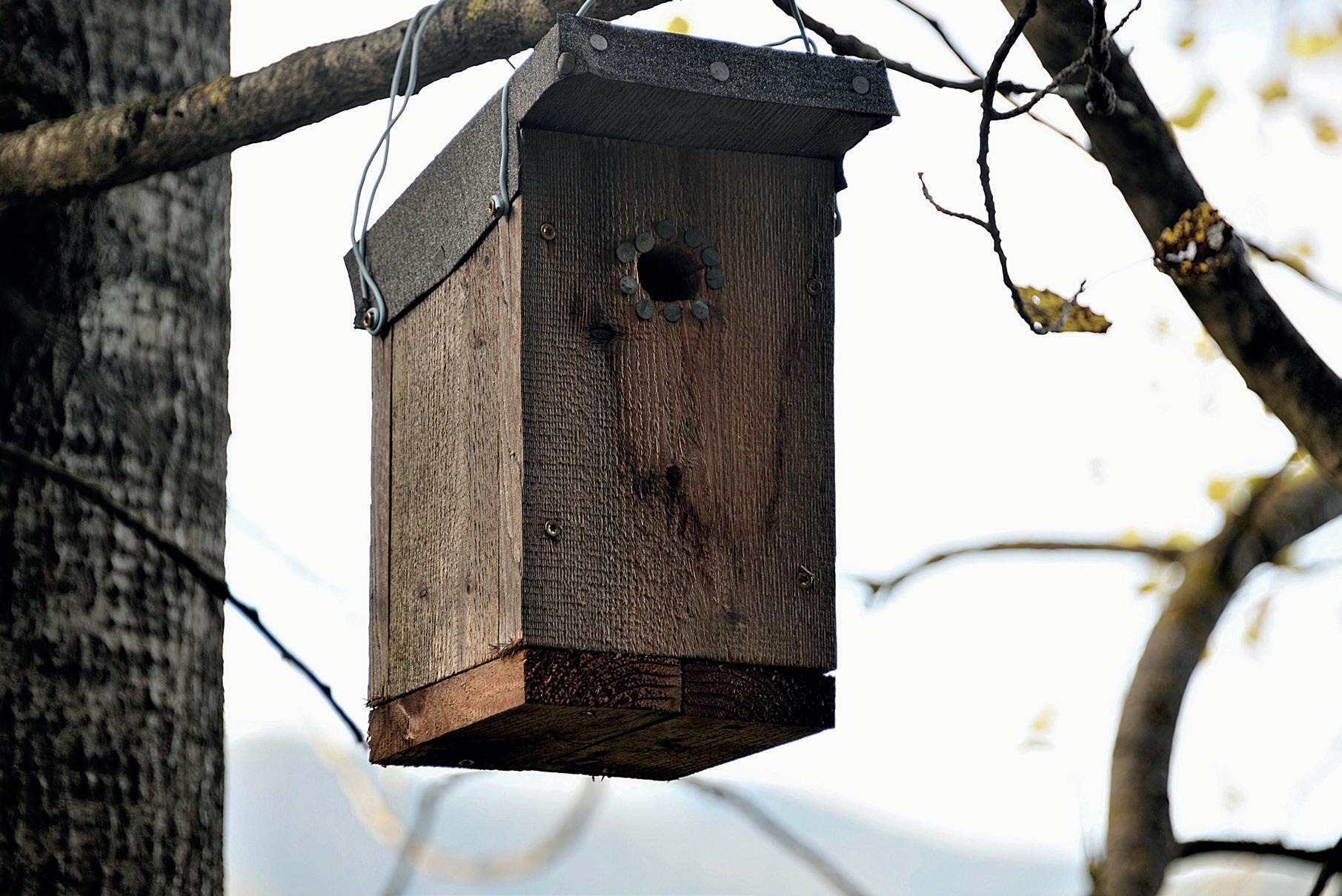
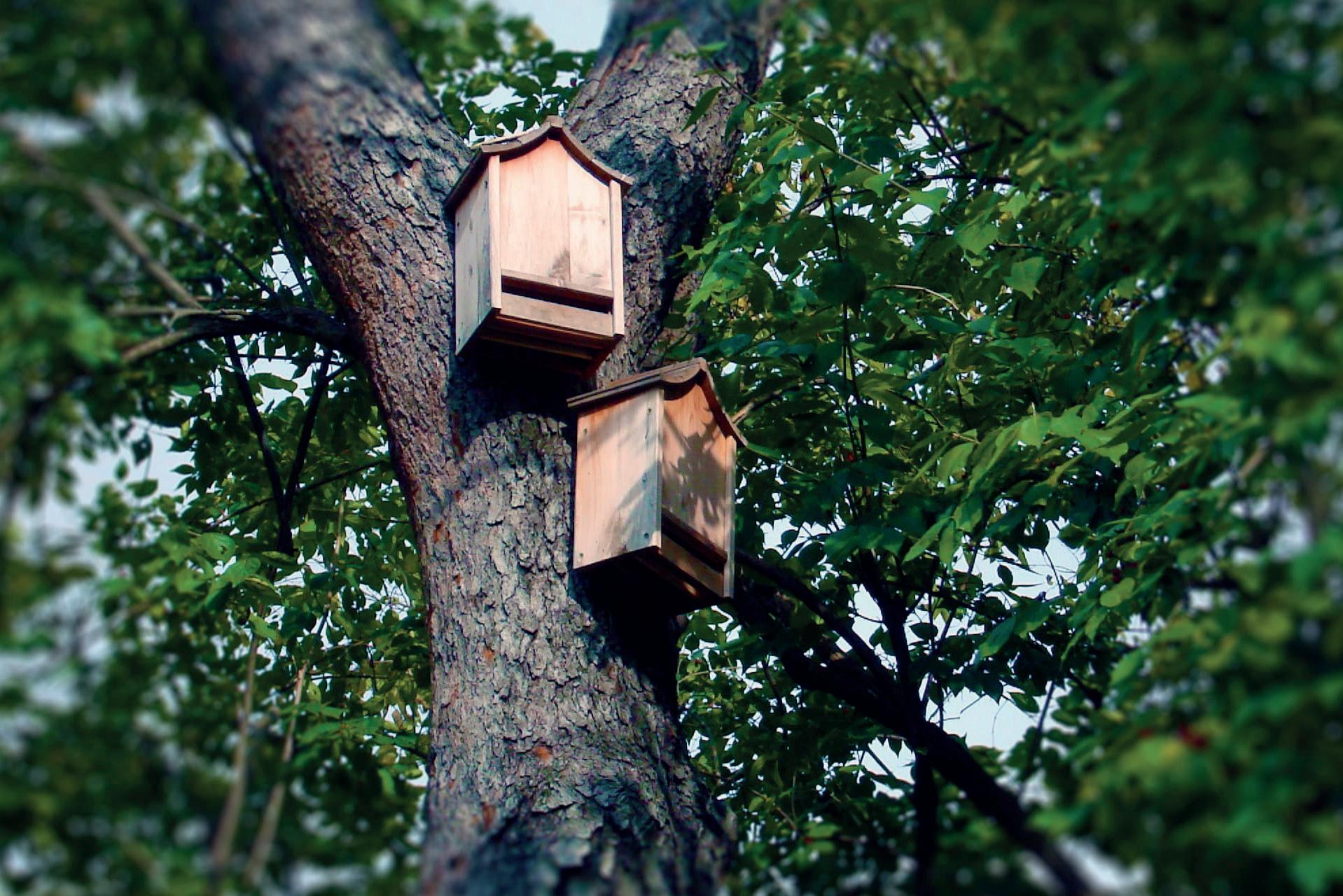
Other notable species such as hedgehogs and badgers are likely to present within the woodland at times, using the woodland for foraging and commuting. No badger setts, or other evidence such as latrine or tracks have been found on site to date.
Otters are present within the river adjacent to the site, and ongoing otter surveys have found potential scat and feeding remains at several points along the riverbank. A sensitive lighting strategy will be implemented to ensure the river remains a dark corridor suitable for wildlife.
The River Frome is an important foraging and commuting habitat for protected bat species, and a sensitive lighting plan will be required to ensure the river remains a dark corridor for bats and other nocturnal species such as otter. Best practice guidance within ‘Protecting Bats in Waterside Development’ (BANES, 2018) will be utilised to ensure lighting on the bridge does not impact bats present. LED strip under the handrail would be acceptable so only the bridge deck is illuminated. Woodland and trees along the river edge provide important screening from light and noise.

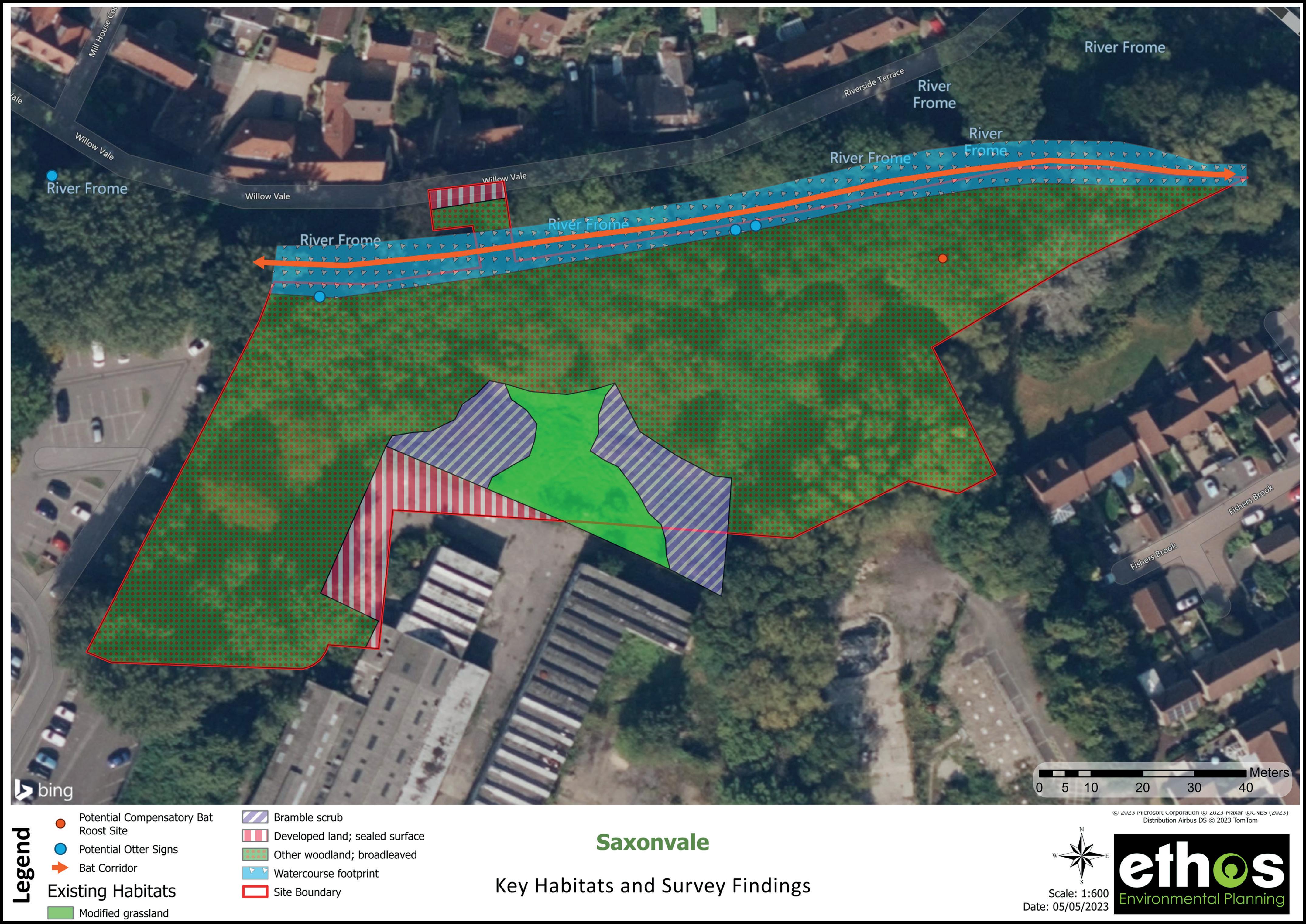
A bat roosting structure will be created. This will take the form of a small bat underground tunnel suitable for hibernating horseshoe bats
Slow worms are present on site, which will require mitigation measures to relocate them within our site. To enhance the retained habitat for slow worms, suitable habitat will be created such as refugia created from rock and dead wood, sometimes covered in earth.
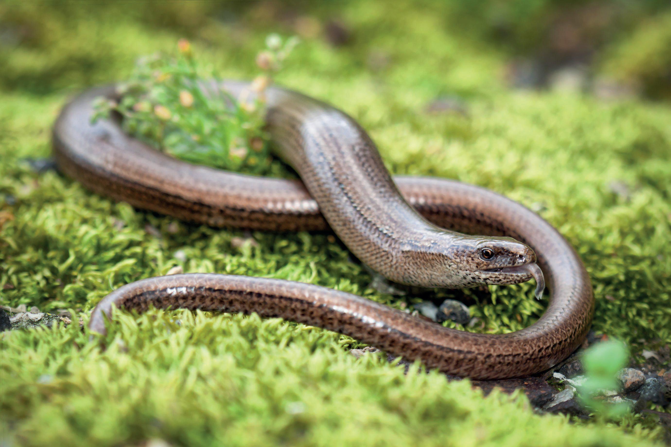
Broadleaved (trees without needles) woodland habitats are important for bird and bat species and providing foraging, nesting and roosting opportunities.
The existing woodland on site is relatively poor with low species diversity in the canopy and understorey layers. Areas at the western side of the woodland are dominated by non-native horse chestnut.
There is scope to vastly improve the diversity and structure of the woodland.
A number of surveys have been undertaken and are ongoing for the site. Historically, surveys have identified a likely kingfisher burrow along with water vole and otter activity.
Bat/bird box
Bat/bird box
Slow worm
Bat/bird box





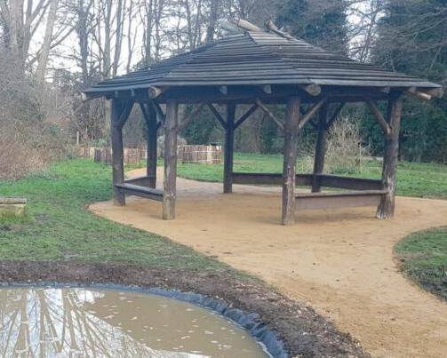
SP CAR PARK FUTUREPHASES W I L L O W V A L E R I V E R F R O M E Play Area Caf é Pond & Wetland Habitat · Surface water filtering · Biodiversity enhancement Additional flood storage capacity · Interaction with broader spectrum of wildlife Conversation circle · Boulders in a ring · Sit, hang out, chat Open up? · Potential to remove fence and combine with existing green space? Small Events Space · Community growing herb garden · Meeting point · Shared table (oversize shared picnic table) New Footbridge Connections Increase permeability and public safety (increased casual surveillance) Interaction with and views of river Community Orchard · Fruit trees for shared food production · Focus for volunteering and opportunity for non-sport related outdoor activity · Subject to further contaminations testing and remediation Wildlife Buffer · 5m buffer from top of river bank left largely undisturbed as advised by ecologists · Retain and encourage riparian (river) wildlife Nature Area · Space with emphasis on wildlife more than public access Woodland Management · Tree cover managed for optimum Biodiversity benefit · Bat roosts and cover · Bird nesting · Balanced with allowing light to the watercourse for benefits of riparian species Lighting to pathways · Balance between amenity public safety and maintaining darkness for bats · Low level shielded lights Natural Play · Incidental features within woodland to facilitate natural play · Boulders, logs, earth mounds, willow tunnel, natural materials for den building Community Cafe · Details to be submitted with reserved matters application 2, including transport and parking assessment Meeting place social focus · Indoor and outdoor seating · Contribute to vibrancy of space · Public toilets · Excluded from RM1 application Water flow from upstream sustainable drainage features Play Area · Formal equipped play area as required by S106 agreement · Ages 4-10 Tree Roots Zones Any paths within tree root protection areas constructed with no-dig methods to preserve root zones Timber Shelter · Open sided shelter for schools, other groups and informal use Petanque (boules) pitch Multigenerational play Table Tennis Table · Multigenerational play LEGEND Application Boundary Reserved Matters 1 Landscape Opportunities Public drinking fountains The long table: an oversized picnic bench to be shared Boules Public table tennis table Inclusive community raised planters Pond
Water & Biodiversity
LEGEND
River Frome
LEGEND
Existing Trees Retained
River Frome
Principal Greenspace Areas
Greenspace water features
Existing Trees Retained
Pond & Wetland Habitat
· Some permanent water with additional storage
· Surface water attenuation
· Biodiversity enhancement
· Human interaction with broader spectrum of wildlife
Pond & Wetland Habitat
· Some permanent water with additional storage


· Surface water attenuation


· Biodiversity enhancement
· Human interaction with broader spectrum of wildlife
Streetscape Suds
· Surface water grills
· Localised rain gardens and tree pits
Green Spaces and Public Realm
· Porous surfaces
· Water captured at source
Green Spaces and Public Realm
· Porous surfaces
· Water captured at source
Streetscape Suds
· Surface water grills
· Localised rain gardens and tree pits
Green Spaces and Public Realm
· Porous surfaces
· Water captured at source
Green Spaces and Public Realm
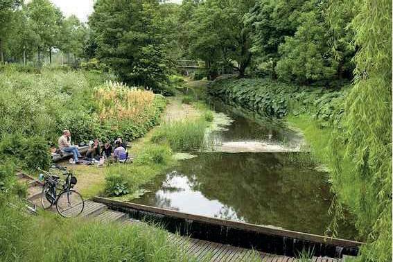
· Porous surfaces

· Water captured at source
Streetscape Suds
· Surface water grills
· Localised rain gardens and tree pits
Streetscape Suds
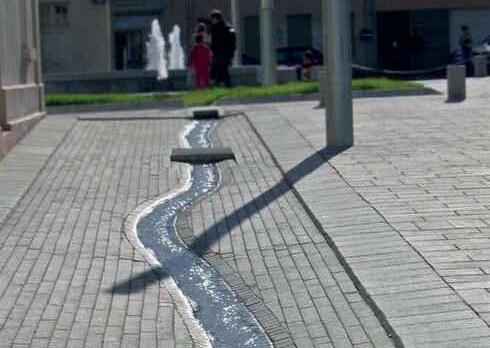
· Surface water grills

· Localised rain gardens and tree pits
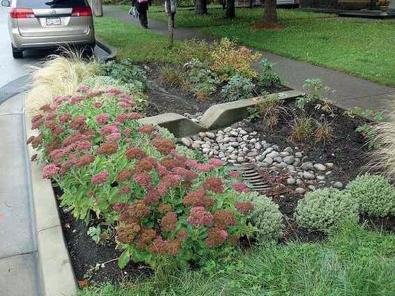
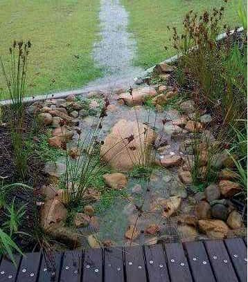
Principal Greenspace Areas
Public Square
Greenspace water features
Streetscape Sustainable Drainage
Direction of Flow
Public Square
SUSTAINABLE URBAN DRAINAGE (SuDS) PRINCIPLES APPLIED
· Water captured at source
Streetscape Sustainable Drainage
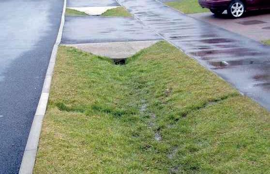
· Slow water flow & store water
Direction of Flow
· Improve water quality through settlement, filtering and bio-remediation


· Avoidance of below ground storage


SUSTAINABLE URBAN DRAINAGE (SuDS) PRINCIPLES APPLIED
· SUDS features to increase biodiversity
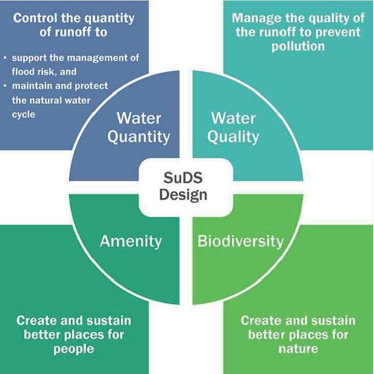
· N.B. infiltration (soakaway) not appropriate on this site due to ground conditions

· Water captured at source
· Slow water flow & store water
· Improve water quality through settlement, · · ·
W I L L O W V A L E W I L L O W V A L E M&S CAR PARK S A X O N V A L E GA RSD ALE
FISHERSBRK.
W I L L O W V A L E W I L L O W V A L E M&S CAR PARK S A X O N V A L E GA RSD ALE
FISHERSBRK
Community
We want this park to be a place to play, relax, connect and feel safe, both in the day and at night. We have a number of ideas to enhance the existing community within Frome, these include;
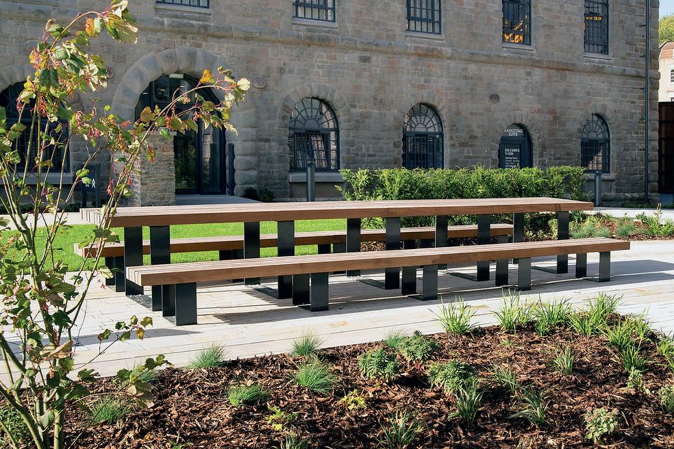
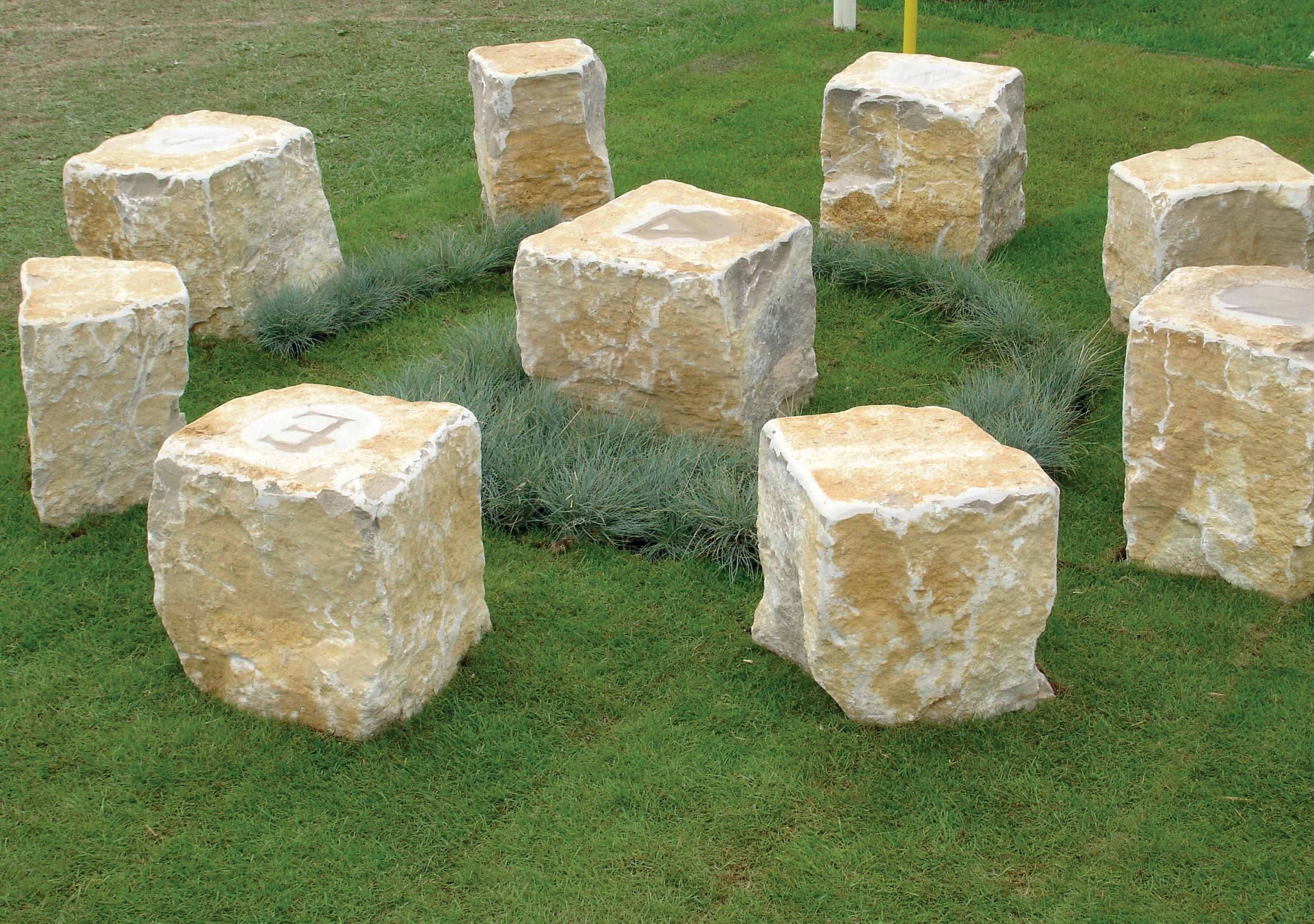
• A long table: an oversized picnic bench using reclaimed timber from the site. Big enough to seat a large group, to be used as a sociable place to eat and drink or hire-out for events.

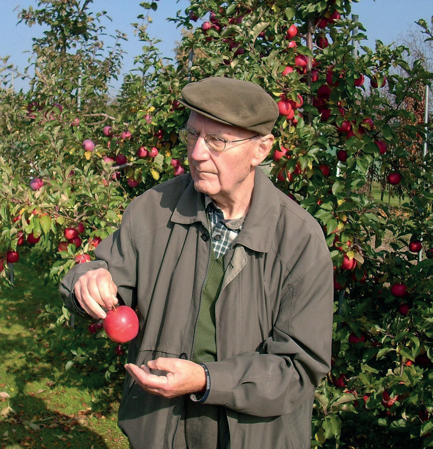
• A planted orchard for fruit trees (to possibly be managed by the community)
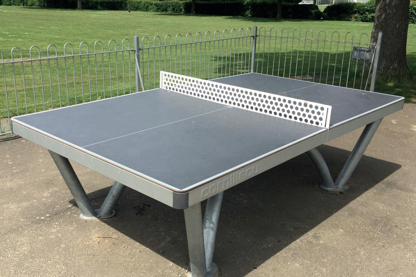
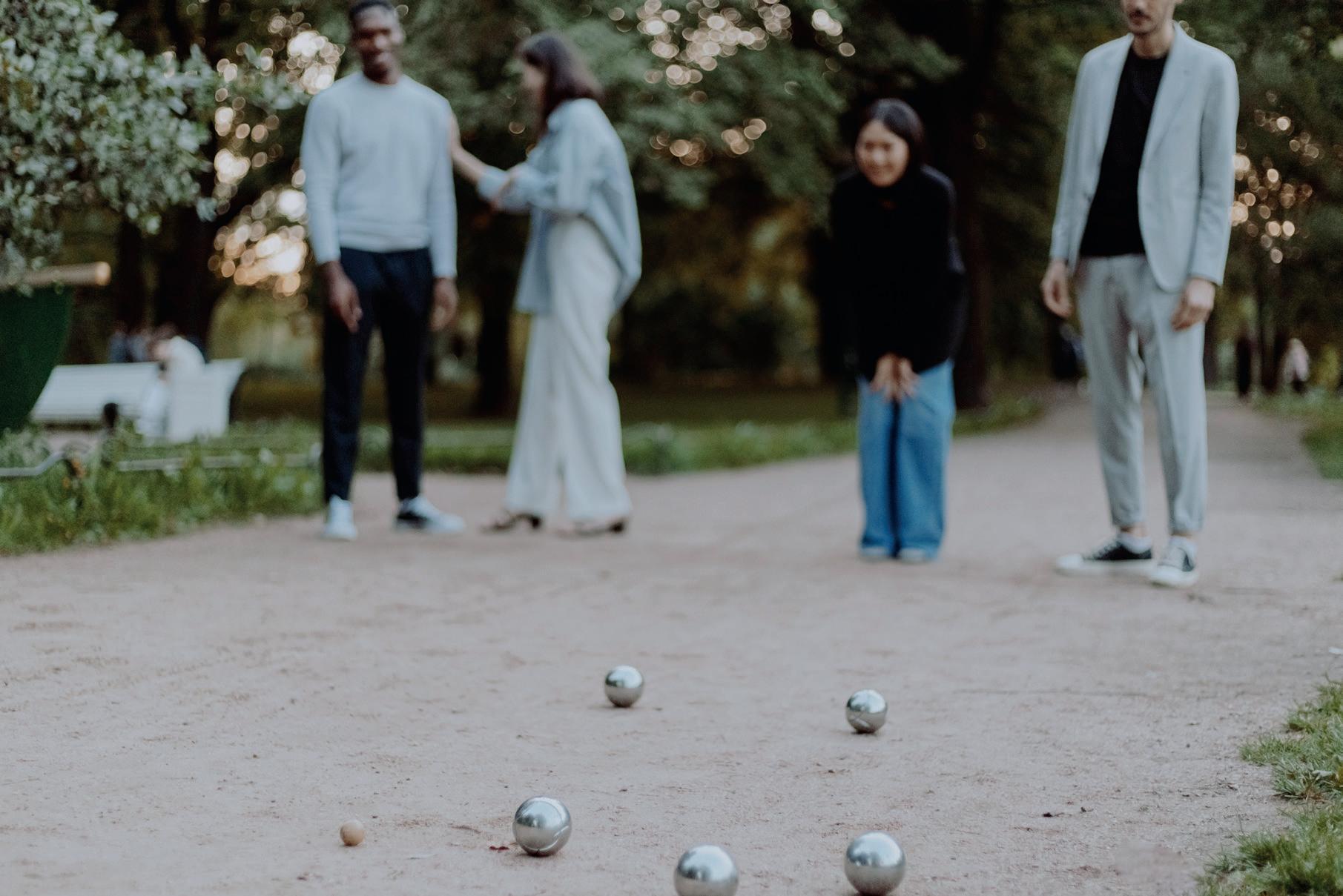
• New facilities including boules and table tennis
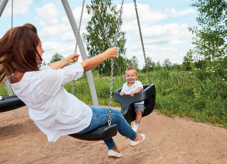
• A swing outside of the designated play area to be used by teens and adults as recommended by Make Space For Girls
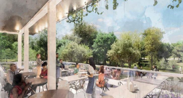
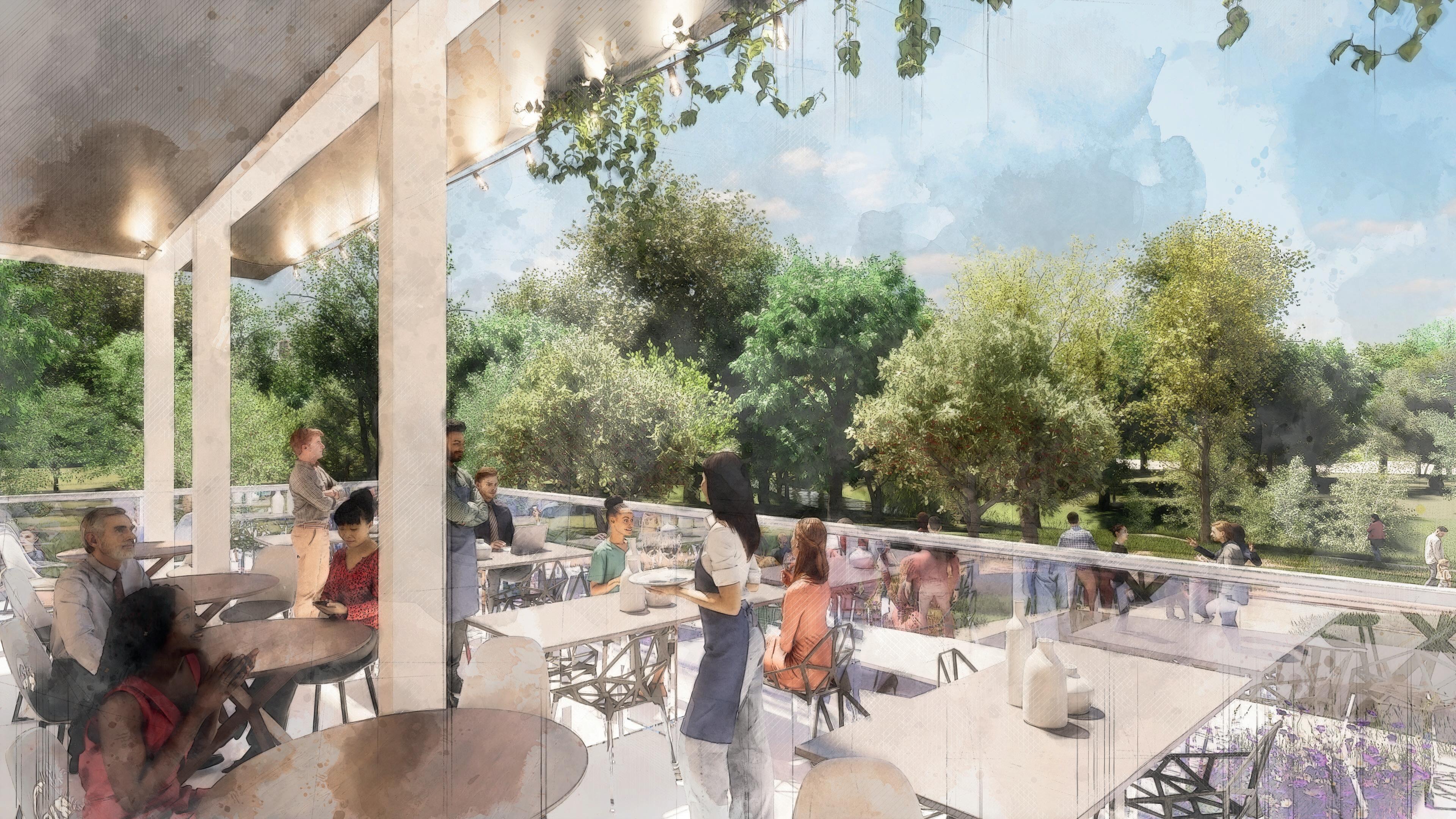
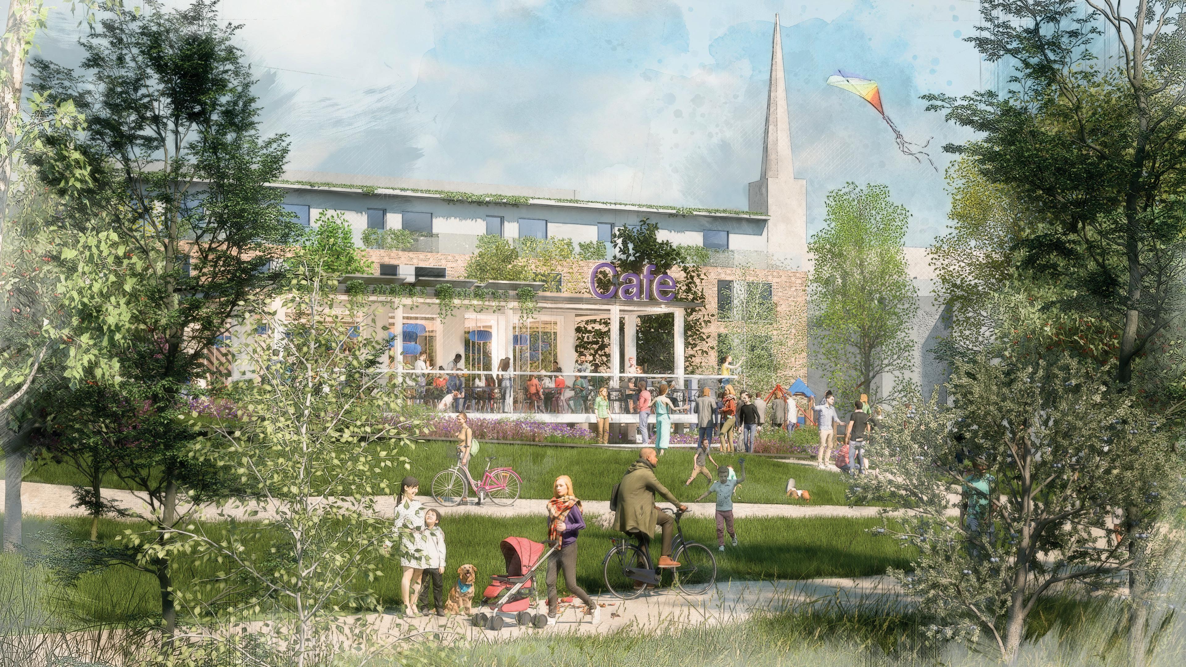
• A new café that connects to the play area and park. This will overlook the new play area, with an outdoor terrace
• Incidental Play throughout the park – the woodland provides various opportunities for incidental play
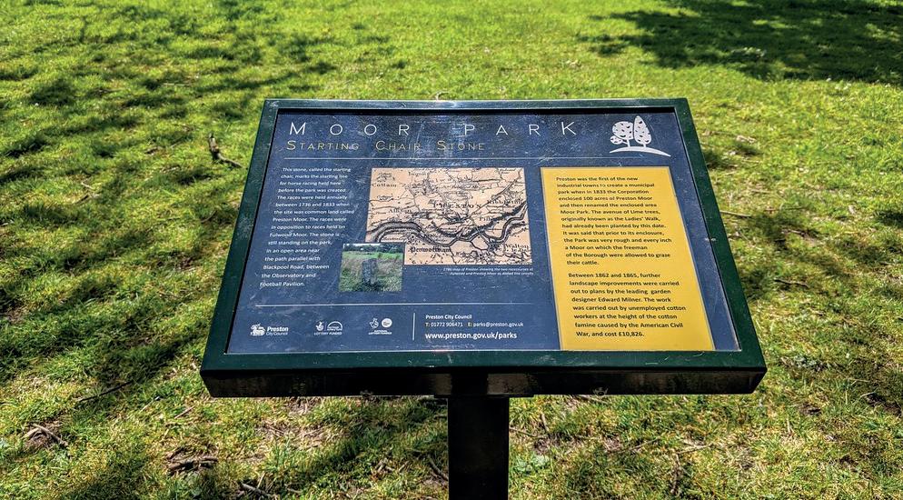
• Education boards - highlighting the various species along the river
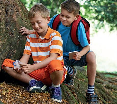
• Nature Trail – to be connected to the surrounding town centre and Rodden Meadow, providing an opportunity to educate and play
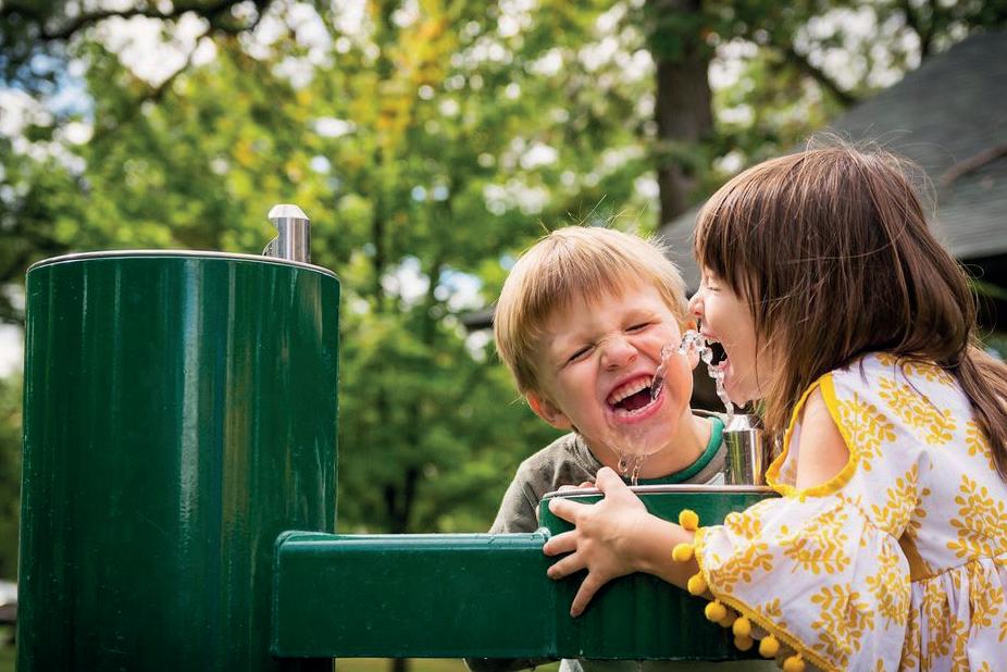
• Drinking fountains – to be provided near to the play park giving access to free and fresh water 24/7
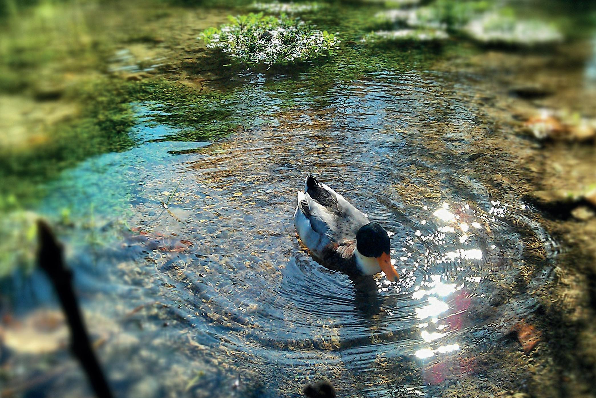
• A natural pond to improve biodiversity, rainwater quality offering a place to play and educate
• The Hut – to be a similar concept to the Hut in Welshmill Park; a place to shelter and engage
• Public bike tools and pump to help promote sustainable transport


01 A new café that connects to the play area and park
02 Public bike pump
03 The long table: an oversized picnic bench to be shared
04 Accessible raised planters

05 Public bike tools
06 Geocaching trail
07 Education Boards
08 Open sided shelter to form meeting point
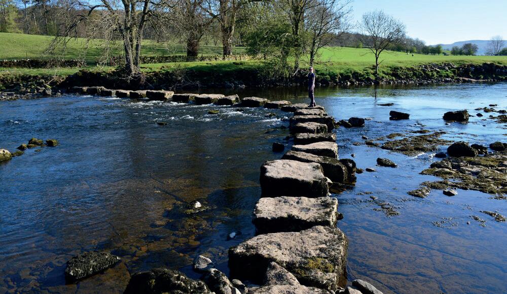
09 Incidental play/ stepping stones
10 Community orchard
01 02 05 08 03 06 09 04 07 10
Artist impression - view from new community café towards the park and river Frome
Play
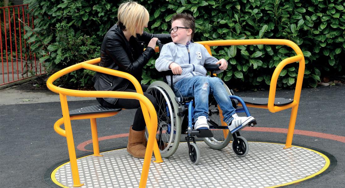
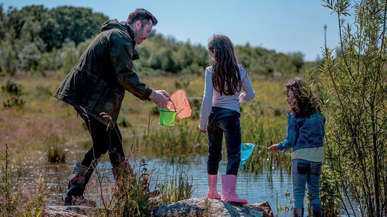
We strongly value inclusivity and believe that everyone, regardless of age or ability, should have access to play opportunities. In order to achieve this, our play park will incorporate new equipment specifically designed for children aged 4-10 years. Additionally, we will provide equipment that promotes multigenerational play, including a boules court, table tennis area, and a swing suitable for teenage girls.

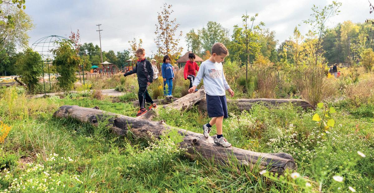
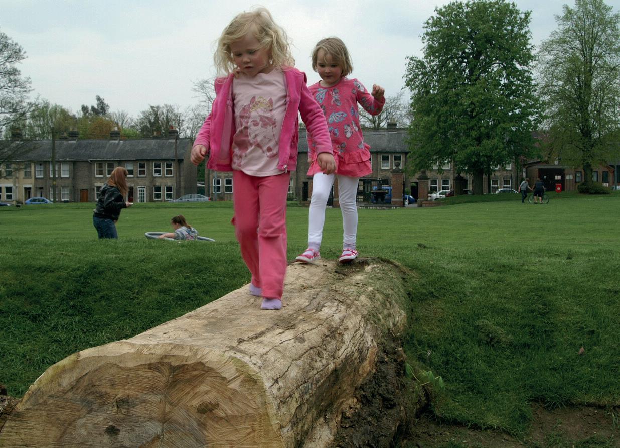
To enhance the overall play experience, we will also include incidental play elements such as balance beams and stepping stones throughout the park. These features will be created using recycled materials sourced from the site, aligning with our commitment to sustainability.
We appreciate the ongoing engagement and collaboration with the following stakeholders: Frome Town Council (FTC), Play Strategy for Frome, St John’s C of E School, Make Space for Girls, Friends of the River Frome, Frome Super Pirates, Scrap Store, Victoria Park Café, and The POD Charity.
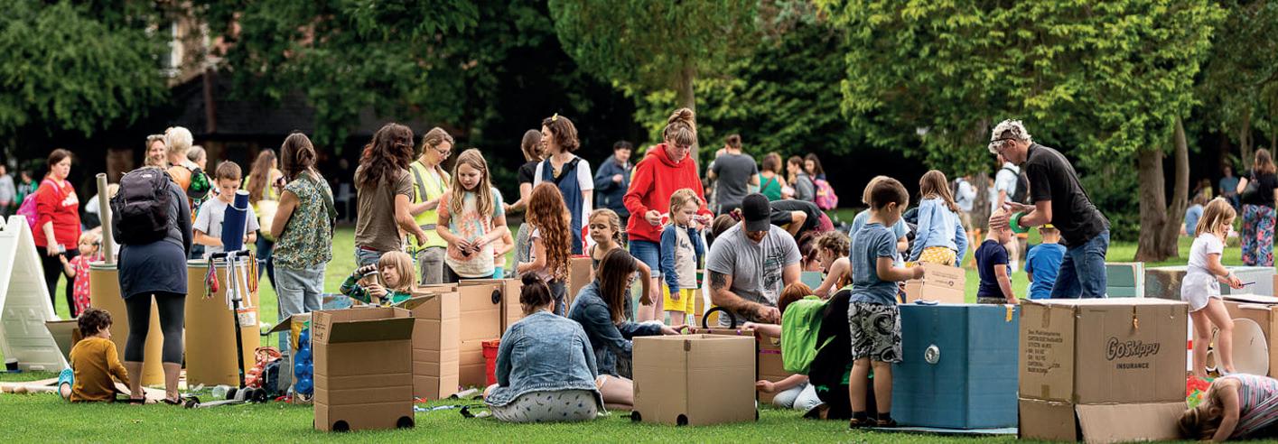
Their contributions have been instrumental in shaping our plans and ensuring the inclusivity and success of the riverside park.
Play Strategy for Frome 2021-2025
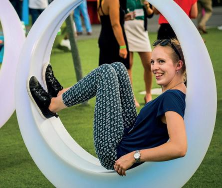 Photo: Chris Bailey
Footbridge


The proposed footbridge is key to the development and will connect the site to its surroundings including Rodden Meadow.

B 64.81 64.67 64.51 64.57 64.78 64.75 64.75 64.78 64.54 64.53 64.54 64.76 64.72 64.59 64.77 64.77 64.12 63.40 63.09 64.25 64.51 64.29 64.73 64.79 64.54 64.79 64.77 64.4964.63 64.58 64.65 64.80 64.58 64.54 64.68 66.01 66.03 66.17 66.04 66.08 65.55 64.73 64.82 64.64 64.76 65.02 64.73 65.56 65.89 64.74 64.67 64.66 64.74 65.75 65.22 64.84 64.84 65.52 65.72 65.69 65.56 64.22 64.24 61.79 62.40 62.53 61.79 64.26 63.50 63.81 64.16 64.34 63.10 62.65 61.83 61.83 62.48 62.93 64.21 64.35 63.09 61.78 62.36 62.36 64.20 64.37 63.30 63.15 63.2462.95 63.19 62.80 63.47 62.9463.1763.2663.05 63.04 64.51 62.62 62.56 61.83 62.43 62.42 64.39 63.74 63.0663.1463.1363.19 63.0263.0063.21 64.70 64.35 64.51 64.60 62.9463.09 63.35 64.15 63.16 63.21 62.89 63.70 64.64 64.45 64.21 64.47 61.83 65.63 65.58 65.67 65.74 65.73 65.69 66.05 66.14 66.09 66.18 66.03 65.91 66.07 66.13 66.05 64.61 64.58 64.51 64.48 65.92 65.96 66.10 66.16 66.08 66.10 66.15 66.15 66.10 65.00 64.00 64.00 64.00 63.00 63.00 63.00 62.00 62.00 62.00 66.00 66.00 66.00 66.00 66.00 G SC LP RWP RWP RWP 64.39 64.44 64.37 64.30 64.22 64.33 64.39 64.33 64.32 64.27 64.24 64.13 64.02 64.11 64.17 63.86 62.52 63.55 63.76 63.91 64.03 64.03 63.98 62.52 63.91 64.81 64.71 64.67 64.57 64.50 64.53 64.50 64.45 64.43 64.42 64.37 64.36 64.46 64.46 64.42 64.45 64.43 64.46 64.45 64.09 64.01 64.05 64.07 64.13 64.11 64.09 64.13 64.10 64.04 64.23 64.14 64.14 64.17 64.56 64.20 64.54 64.26 63.49 61.75 61.74 62.34 62.73 63.92 64.08 64.17 64.48 64.50 64.66 64.73 65.02 64.7364.69 64.66 64.57 64.48 64.95 65.02 64.44 64.44 64.76 64.54 64.37 64.35 63.12 62.54 62.18 61.75 61.70 62.07 65.28 64.12 62.39 61.81 62.89 62.85 61.84 61.85 64.71 65.2665.31 64.78 65.08 64.83 65.14 65.50 64.56 64.61 64.40 64.53 64.65 64.80 64.66 65.00 65.00 64.00 64.00 64.00 63.00 63.00 63.00 62.00 62.00 62.00 T24 T26 T29 T30 T31 T32 T33 T34 G48 G48 G82 G83 T80 Beech G83 G82 G82 65.60 65.65 66.10 (64.75) (65.00) (65.25) (65.50) (65.75) (64.73) 65.52 (64.50) (64.50) 65.00 65.00 65.00 65.40 Deck at this end of bridge assumed to be 65.60 (approx. 1m above existing level) 64.54? Max gradient of main bridge 1:20 Trees in this area removed Tree T30 removed Decking ramp, gradient <1:20. Ramp on legs with individual hand dug pit foundations to minimize impact on tree root protection zones existing level). Low banks to either side LEGEND T19 Willow Vale No. 11 No. 10 No. 17 19000 LVL. 64.90 EGL. 64.32 579 600 8678 (BRIDGE UNDER FLOODED ZONE) LVL. 65.67 1800 300 ASSUMED SOFFIT LVL. 64.75 ASSUMED SOFFIT LVL. 65.52 RADIUS 37.9m 2500 6948 2850 579 LVL. 64.90 EGL. 64.32 EGL. 64.32 ASSUMED SOFFIT LVL. 64.75 RWP RWP 5A 64.321 64.00 63.00 62.00 64.00 62.00 63.00 63.00 62.00
T80 LVL. 64.90 6948 (PROPOSED RAMP) 609 (APPROX.) 2500 (PROPOSED LANDING WIDTH) 3200 (MIN.) (CARRIAGEWAY) 2850 LVL. 64.32 500 (CLEAR DISTANCE BETWEEN RIVER BANK AND STRUCTURE) 2500 (PROPOSED LANDING WIDTH) 19000 (BRIDGE SPAN) LVL. 65.67 LENDING TO CONNECT WALKWAY AS PER ARCHITECT DESIGN N www.stantec.com/uk Project No. Scale Title Revision Drawing No. Client/Project Logo Copyright Reserved \\tnt-vfps-001\tnt\projects\332511390\technical\drawing\bridges\cad\332511390-stn-sbr-dr-cb-0100 p01 Plotted: 31.03.2023 2023.03.31 3:27:06 PM By: Gola, Deepak Client/Project Issue Status This document is suitable only for the purpose noted above. Use of this document for any other purpose is not permitted. The Contractor shall verify and be responsible for all dimensions. DO NOT scale the drawing - any errors or omissions shall be reported to Stantec without delay. The Copyrights to all designs and drawings are the property of Stantec. Reproduction or use for any purpose other than that authorized by Stantec forbidden. Notes UTILITIES NOTE: The position of any existing public or private sewers, utility services, plant or apparatus shown on this drawing is believed to be correct, but no warranty to this expressed or implied. Other such plant or apparatus may also be present but not shown. The Contractor therefore advised to undertake their own investigation where the presence of any existing sewers, services, plant or apparatus may affect their operations. 1 2 3 4 5 D C B A ACORN PROPERTY GROUP SAXONVALE - NEW BRIDGE BRIDGE CONCEPT DESIGN 332511390 AS SHOWN P01 332511390-STN-SBR-DR-CB-0100 Stantec UK Limited PLAN 1:100 0100.1 THIS DRAWING IS TO BE READ IN CONJUNCTION WITH ALL OTHER RELEVANT DRAWINGS AND SPECIFICATIONS. 0100.2 DRAWING NOT TO BE SCALED, BRIDGE MEMBER SIZES ARE INDICATIVE ONLY. Issued/Revision P01 ISSUE FOR CONCEPT PROPOSED KERB LINE PROPOSED LAND BOUNDARY PROPOSED LAND BOUNDARY EXISTING BEECH TREE EXISTING TOP OF BANK SHOWN INDICATIVELY ℄ OF T80 TREE ℄ OF SUPPORT ℄ OF SUPPORT EXISTING TOP OF BANK SHOWN INDICATIVELY0102 ℄ OF SUPPORT ℄ OF SUPPORT +600 FLOOD LEVEL 65.22 FLOOD LEVEL 64.62 EXISTING GROUND LEVEL 64.32 SECTION-01 1:50 01 FLOOD LEVEL 64.62 +600 FLOOD LEVEL 65.22 ASSUMED EXISTING WATER LEVEL RIVER FROME BELOW SLOPE 1:12 +600 FLOOD LEVEL 65.22 FLOOD LEVEL 64.62 EXISTING GROUND LEVEL 64.32 EXISTING BEECH TREE CENTRE LINE OF BEECH TREE SECTION-02 1:50 02 KEY: - HIGHWAY BOUNDARY RIVER FROME PILE CAPS SHOWN INDICATIVELY PILES SHOWN INDICATIVELY FOUNDATION SHOWN INDICATIVELY PILE CAPS SHOWN INDICATIVELY PILES SHOWN INDICATIVELY ℄ OF BRIDGE 0100.3 FOUNDATION DETAILS INDICATIVE ONLY AND SUBJECT TO GROUND INVESTIGATION. 0100.4 SETTING OUT OF BRIDGE INDICATIVE ONLY AND SUBJECT TO DETAILED TOPOGRAPHIC SURVEY 0100.5 UTILITIES LOCATIONS TO BE CONFIRMED, NO UTILTIY SEARCHES CARRIED OUT AND PRESENCE OF NEARBY UTILTIES TO BE VERIFIED PRIOR TO ANY FURTHER DESIGN DEVELOPMENT. 0100.6 DRAWING FOR DISCUSSION PURPOSES, LOCATION OF BRIDGE SOFFIT WITHIN FLOOD EVENT TO BE DISCUSSED WITH ENVIRONMENT AGENCY AND LOCAL AUTHORITY AND DESIGN TO BE MODIFIED ACCORDINGLY. 0100.7 VEHICLE PROTECTION MEASURES ON NORTHERN SIDE OF BRIDGE OMMITTED, TO BE AGREED WITH LOCAL AUTHORITY. WILLOW VALE VEHICLE PROTECTION MEASURES REQUIRED TO PROTECT LANDING FROM VEHICLE IMPACT. TBC WITH LOCAL AUTHORITY ARCH BRIDGE DECK MAX. GRADIENT 1:15
T29 T30 T31 T33 G48 G82
Precedent image of bridge Bat friendly low level light
Timeline
May 2023
• Public consultation for riverside park and footbridge (Reserved Matters 1)
Summer 2023
• Submit Reserved Matters 1 application
Summer 2023
• Planning consultation period with the following:
• Highways
• Ecologist
• Tree Officer
• Local Lead Flood Authority
• Environment Agency
Autumn 2023
• Reserved Matters 1 approval
Winter 2023
• Public consultation for remainder of the site which includes all commercial space and homes (Reserved Matters 2)
• Submit Reserved Matters 2 application
Spring 2024
• Reserved Matters 2 approval
• Commence construction of public open space and Phase 1 of the wider site
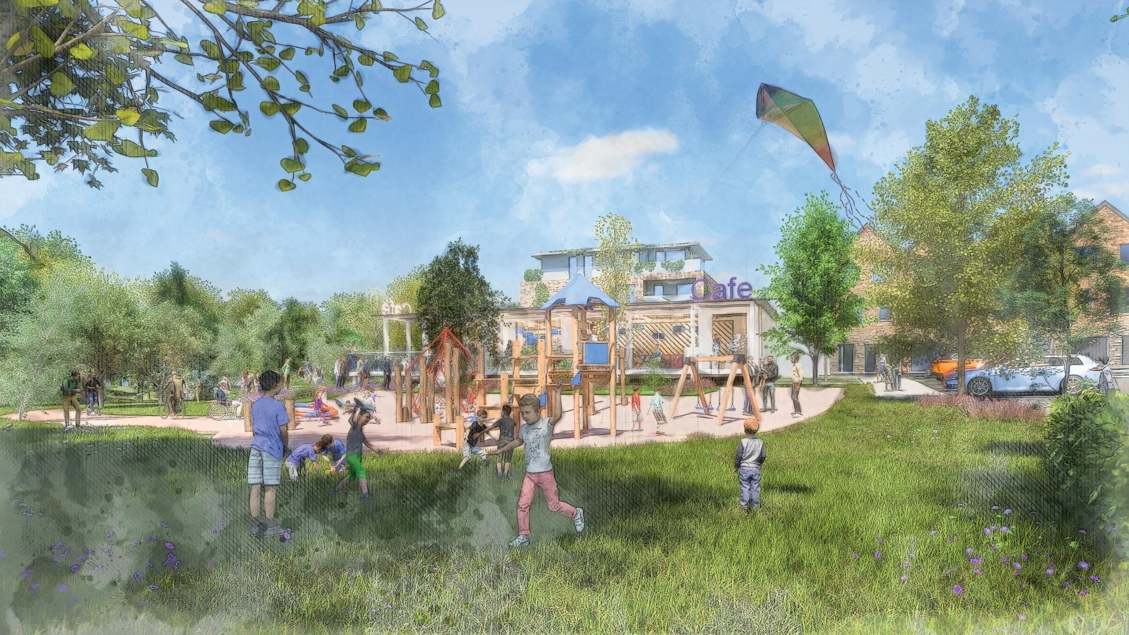
Thank you for attending this event, we really appreciate you spending the time to help inform the design for the new park, please provide your comments on the feedback form and visit our website for further updates.
We are excited to deliver this important regeneration scheme in the heart of the town.


 72 affordable homes New play equipment Two acres of new parkland co-working space to create in excess of 500 jobs
New footbridge £2m S106 contribution towards new schools and highways
New public and private car charging
A minimum of 45,000 sqft of commerical space including retail, cafes and restaurants


 Additional image credits: Goulet Isabelle, Sandie Clarke and Sebastian Huxley, all via Unsplash


 Photo: Chris Bailey


