

Transalp Sella www.go-alps.com
Level 3
specialist for Alpine crossings
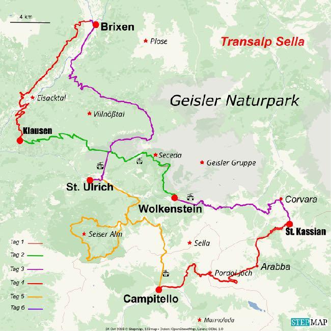
Ronda Grande - from Brixen to the Sella group and back 6 stages - 220 km - 6100 m elevation gain
The
Every day a new highlight
This tour is unforgettable. The Transalp Sella lives up to its name. High alpine panoramas right from the start. On 5 days we are very close to the famous Dolomite massif. The panorama on every day is unique. The ascents are limited to a maximum of 1300 vertical meters per day due to a few cable car transfers. This is intentional - and leaves enough energy and concentration for the many trails, some are quite challenging MTB downhills. The MTB trails around the Sella massif offer a lot of off-road and level 3 riding funsome of them also on built bike park trails. Ideal for anyone who likes technical riding but doesn't want to go too wild. An exceptional tour on level 3, with lots of off-road and little asphalt.
The tour video on YouTube:
https://www.youtube.com/watch?v=mOfgdnICzdw
Sella Ronda grande - full of trails
Even if the Transalp Sella with several cable car transfers sounds easy in terms of altitude and kilometers, the uphill passages and climbs in the Dolomites are often steep. The descents and trails demand a lot of concentration, so we are glad to master the one or other altitude difference with the cable car.

www.go-alps.com
6 stages - 220 km - 6100 m elevation gain:
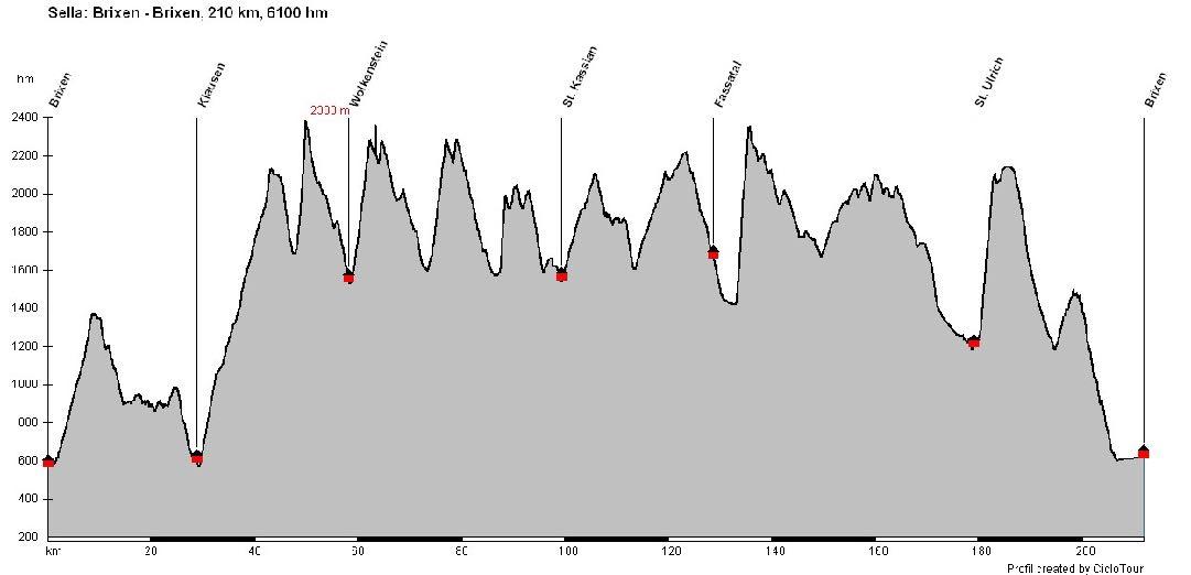
An unforgettable round - pure offroad!
If you were impressed by our Transalp South Tyrol and find the Transalp Marmolata too difficult, then this is the right tour for you. The Transalp Sella has the same altitude difference as the Transalp South Tyrol, but offers even more trails. The four cable car transfers to Seceda, Grödner Joch, Col Rodella and Raschötz cause, that significantly more depth meters are made. The trails are mostly at an altitude of over 1500 meters. This tour should not be underestimated. Full suspension, fun on the trails and solid technical riding skills are required.
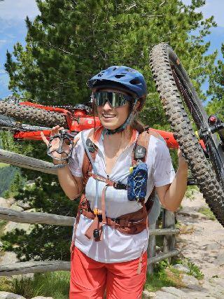
Severine Petersen, ALPS bikepark and freeride guide
www.go-alps.com
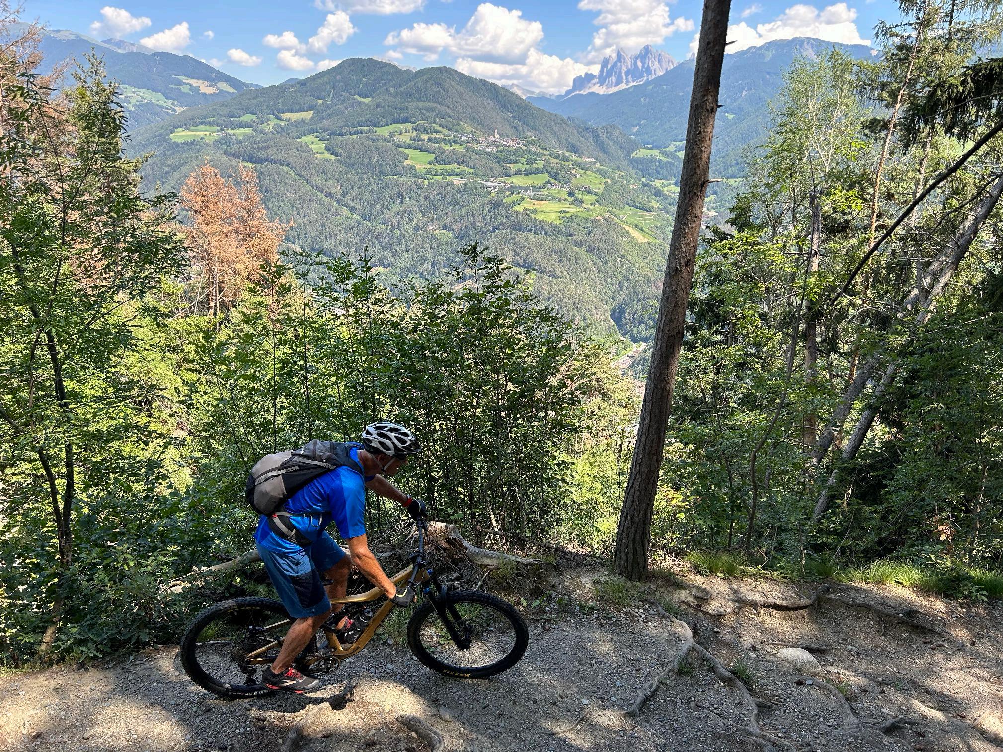
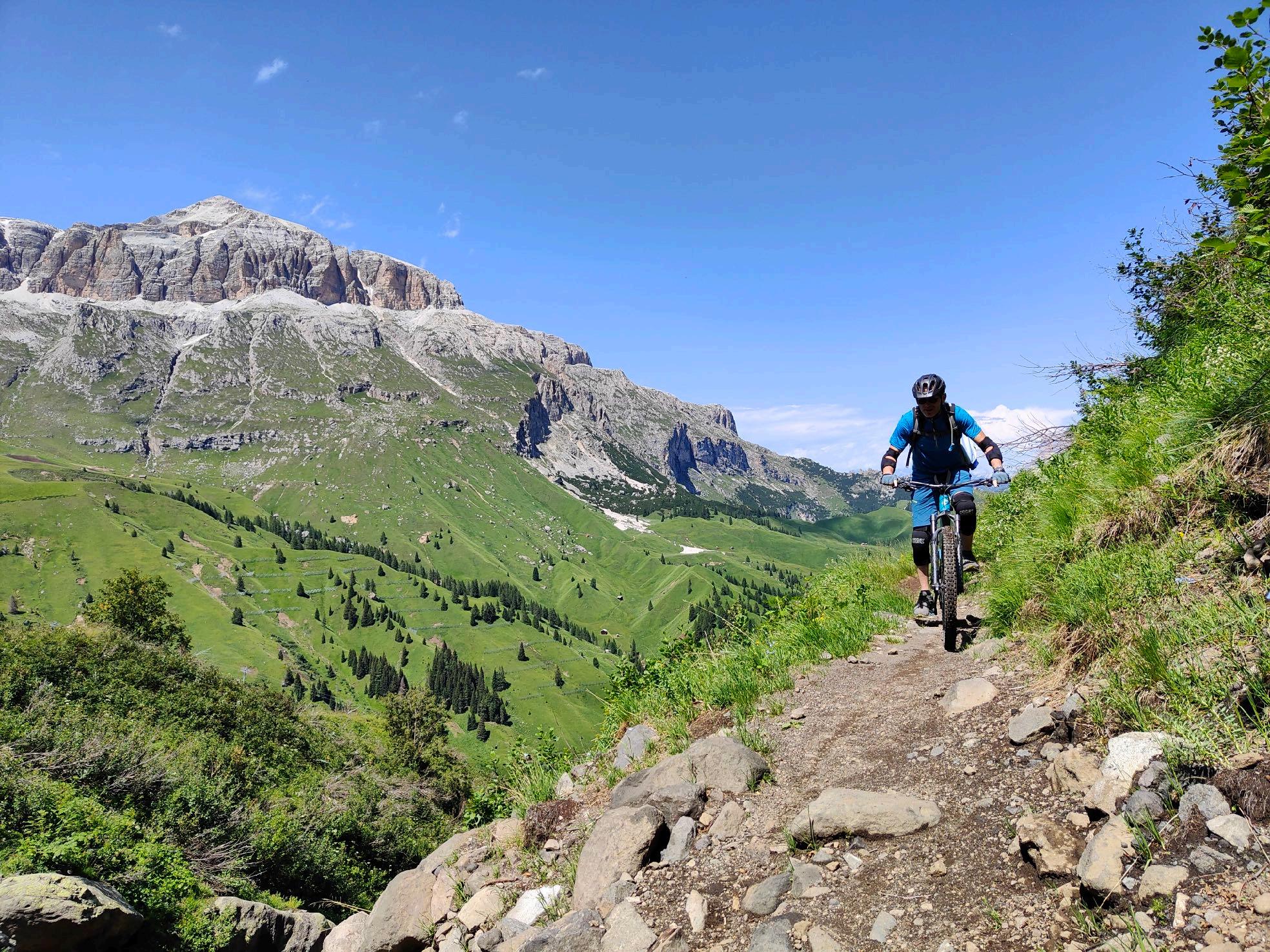
www.go-alps.com Highlight No 1: The Keschtn path

www.go-alps.com
www.go-alps.com
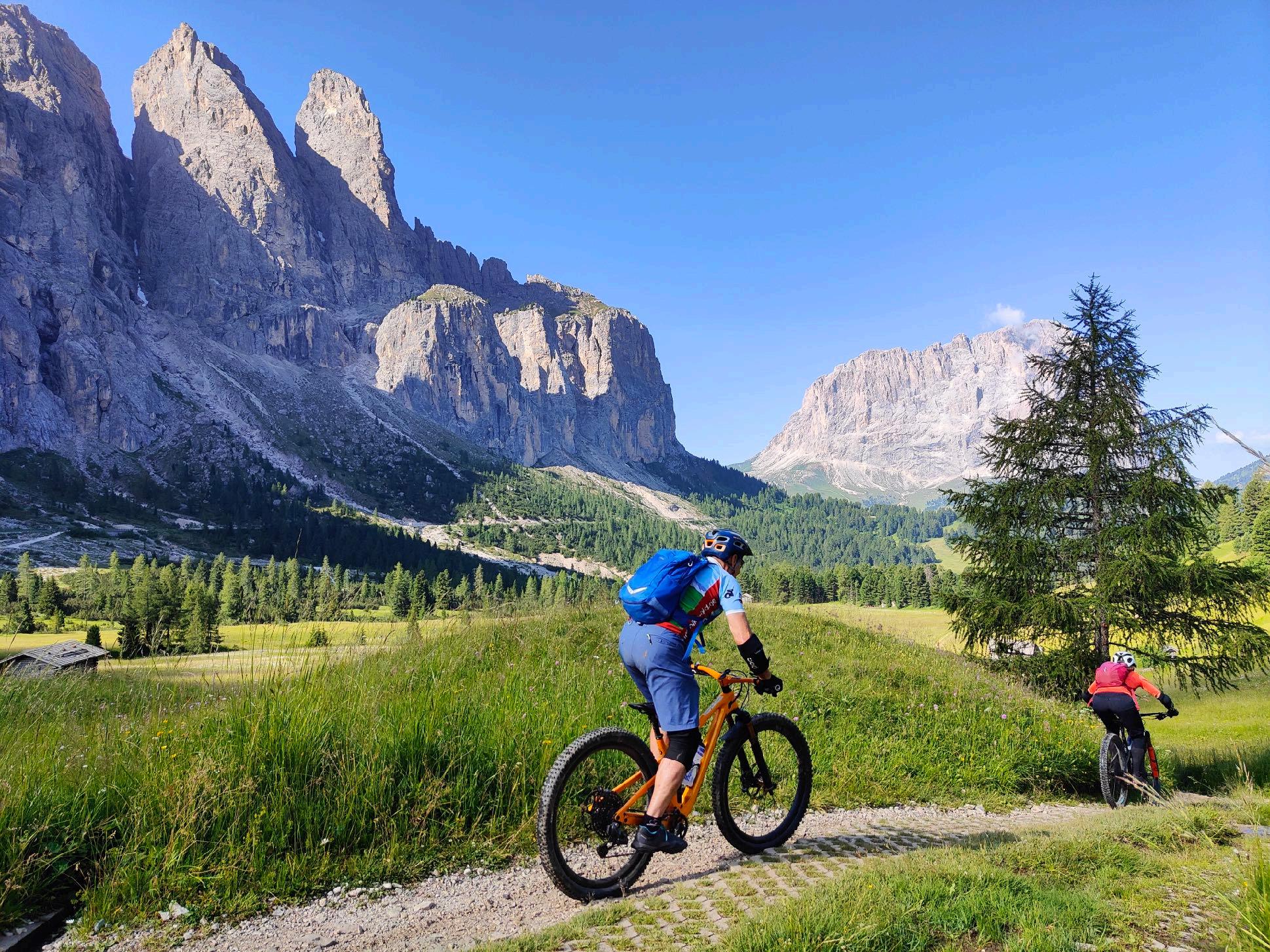
Highlight No 2: Every day high alpine

www.go-alps.com
www.go-alps.com
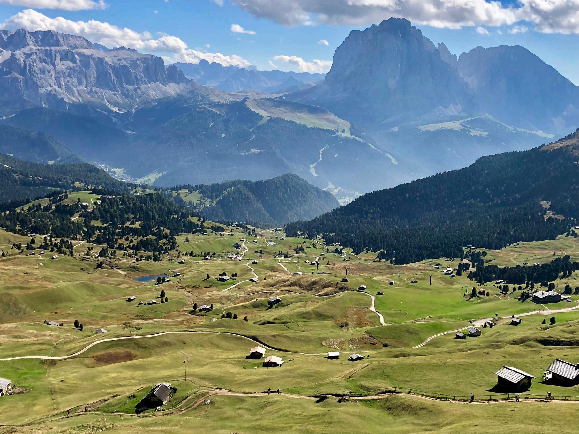
Highlight No 3: Trails close to the Sella

www.go-alps.com
www.go-alps.com
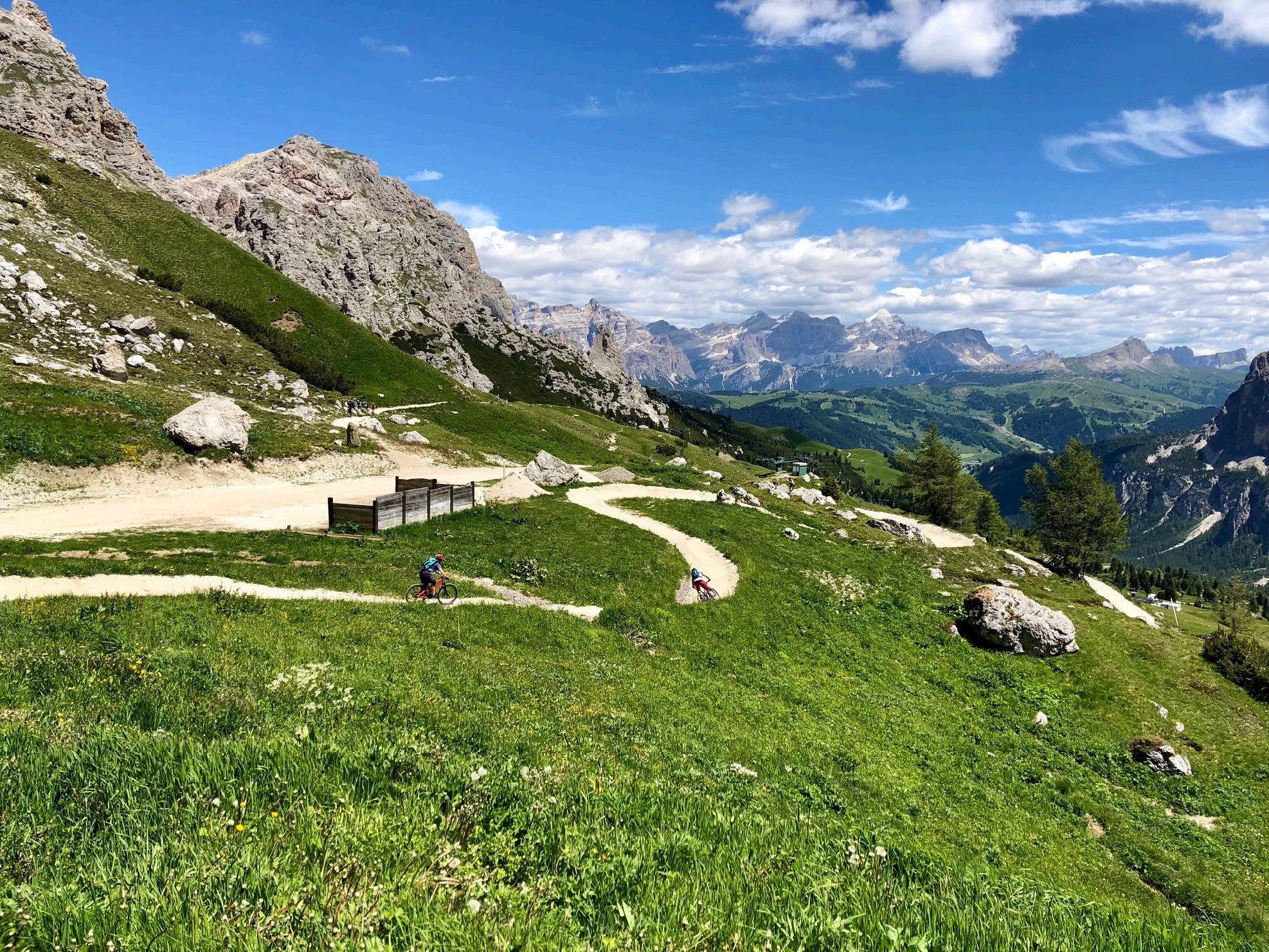
www.go-alps.com Highlight No 5: The Cir trails

www.go-alps.com
www.go-alps.com
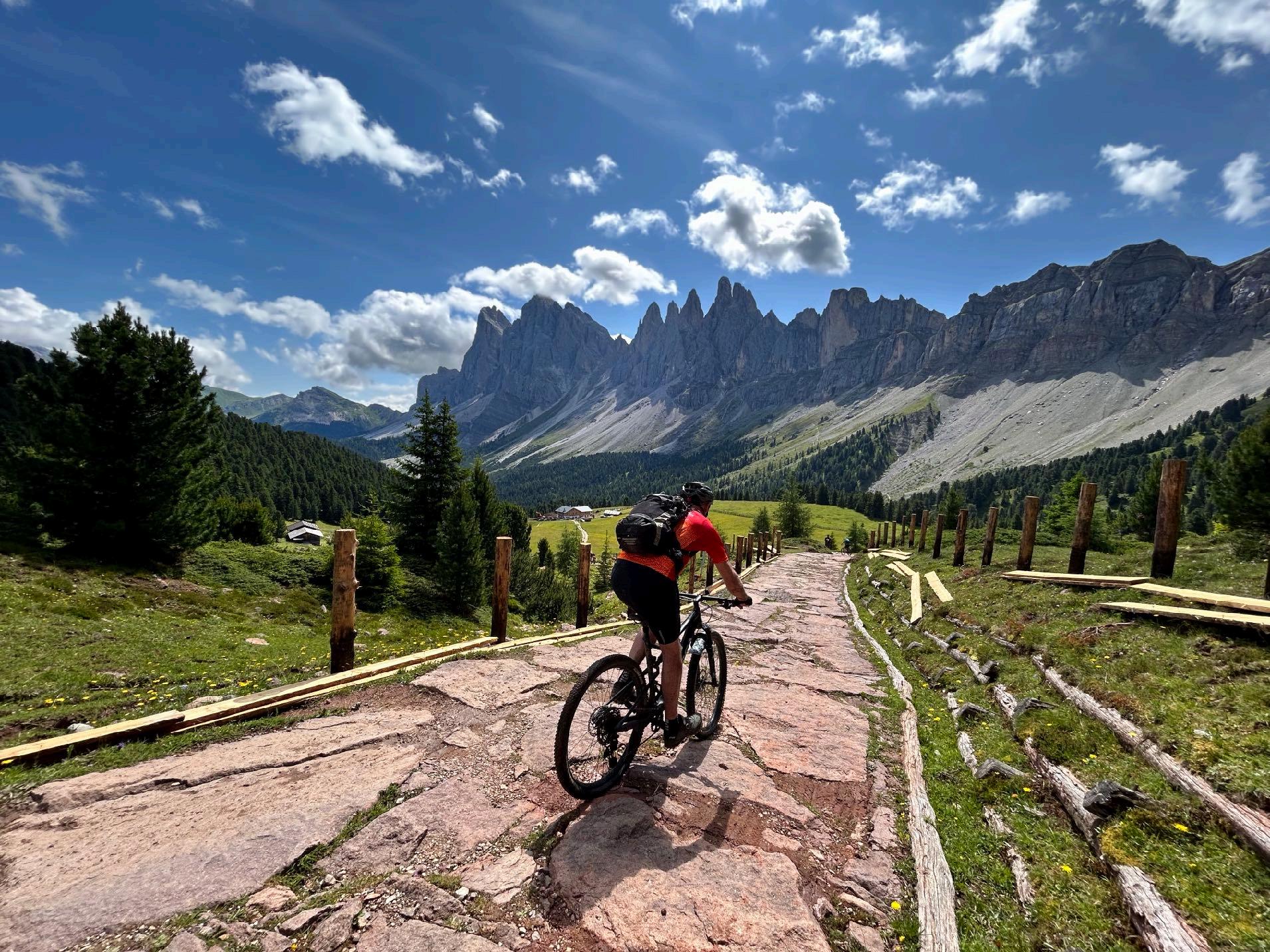
Highlight No 6: The Geisler peaks

www.go-alps.com
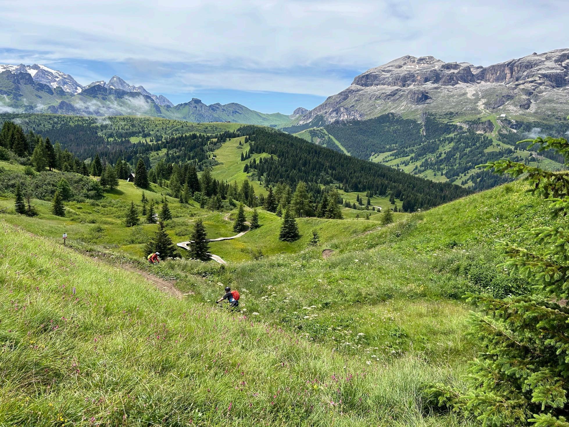
Highlight No 7: Many bike trails
www.go-alps.com

www.go-alps.com
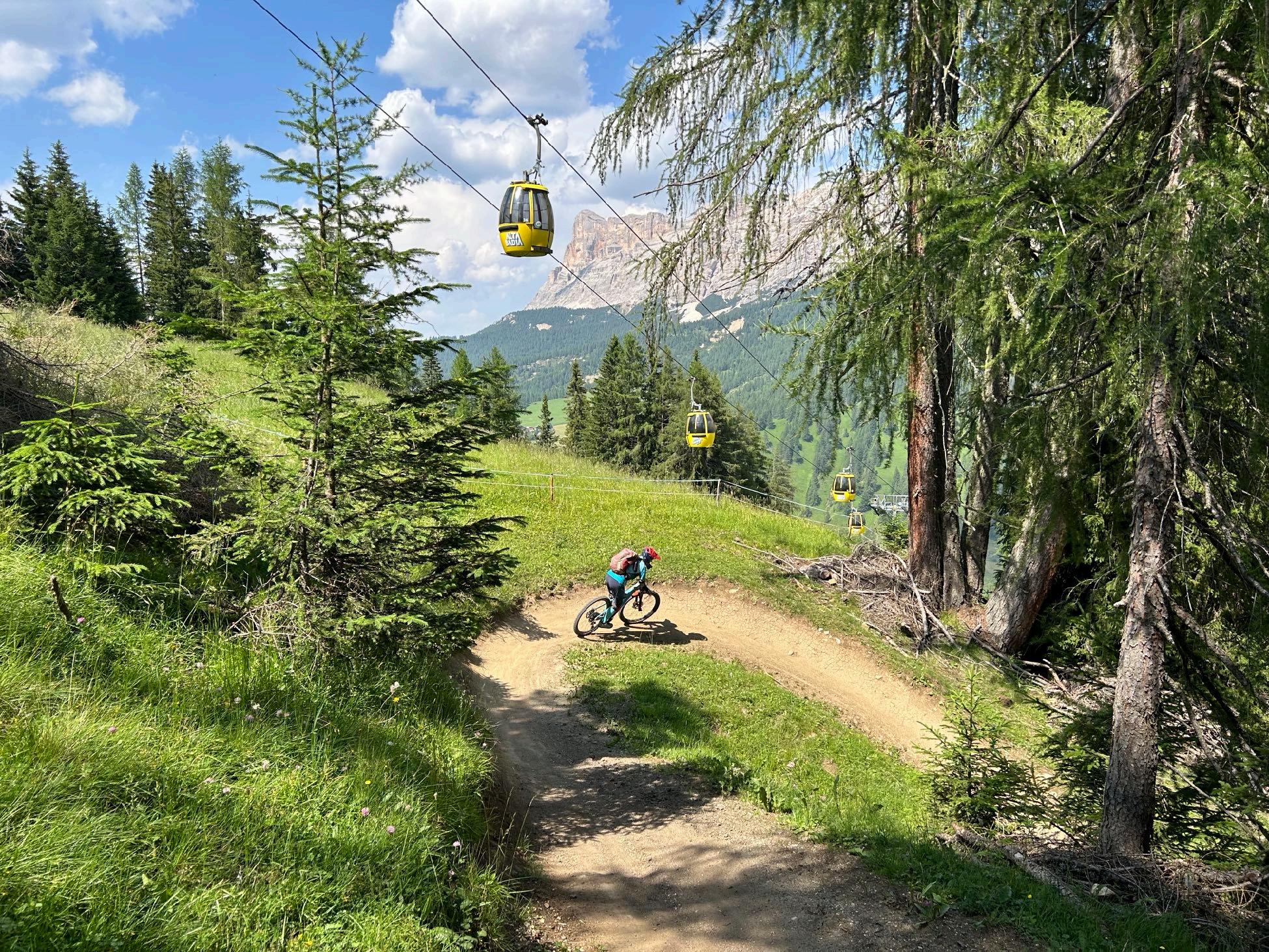
Highlight No 8: The Beat trails
www.go-alps.com
www.go-alps.com
Highlight No 9: Alpe di Siusi

www.go-alps.com

www.go-alps.com

www.go-alps.com
www.go-alps.com

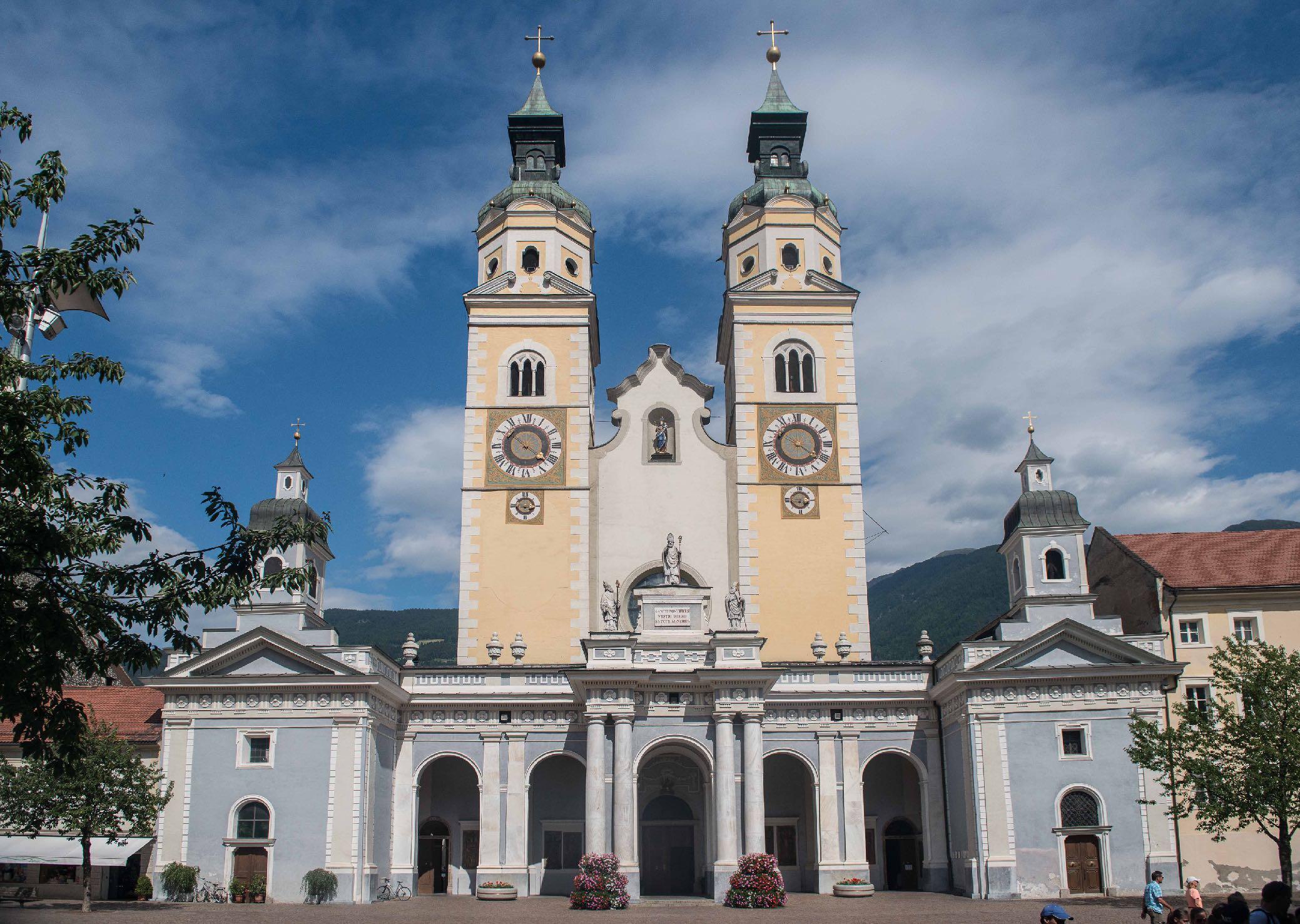
www.go-alps.com Highlight No 11: Arrival in Brixen
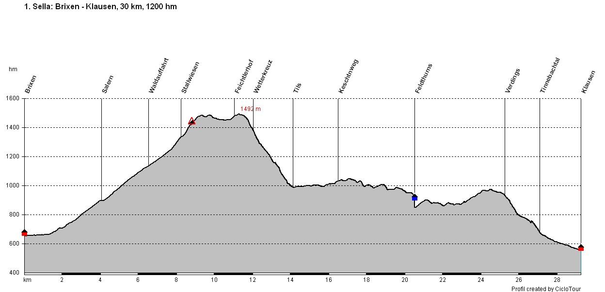
Elevation profile day 1
www.go-alps.com
1. Stage From Brixen to Chiusa
30 km 1200 m elevation gain
We start our first highlight day in the historic old town of Brixen. The city wakes up with us. We set off near the Cathedral of Brixen, which dates back to the Baroque period. After a few meters, the city center is already behind us. We quickly climb higher. The first 800 meters in altitude we work our way towards Stallwiesen; 600 meters in altitude are very easy to ride, then it gets steeper on a more challenging path. A first beautiful trail is a foretaste of the upcoming. The highest peaks of the Geisler group come into view. From the Feichterhof and after putting on our protectors, we head downhill on trails to Tils. This is where the Keschtn path trail towards Chiusa begins for us. We stop for refreshments in Feldthurns. Most of the altitude difference is already in our legs by lunchtime. Nevertheless, the afternoon should not be unde-
Highlights today
• Start in Brixen
• The Keschtn path
• View of the Geisler peaks
• Monastery Säben
• The old town of Chiusa
restimated. The Keschtn path is a constant up and down, mostly on trails or off-road routes. This should make every mountain biker's heart beat faster. From Verdings onwards, all the altitude meters of the day have been mastered. We roll down the Tinnebach valley into the historic old town of Chiusa.
At the Mount Säben you find graves from the Rhaeto-Romanic and Germanic periods. Between 800 and around 1000, Säben was an important bishop's see before it was moved to Brixen. We reach Chiusa via an old asphalt road. The medieval alleyways still bear witness to the wealth and lively trading activity of the time.
www.go-alps.com

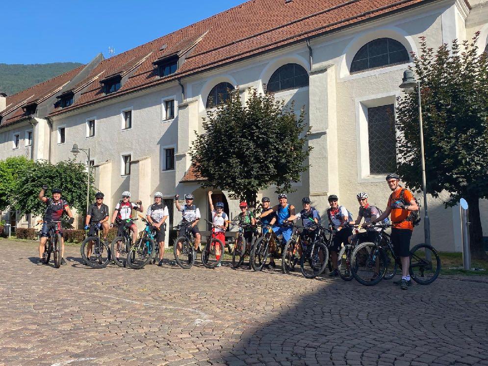
Start directly in the center of Brixen.
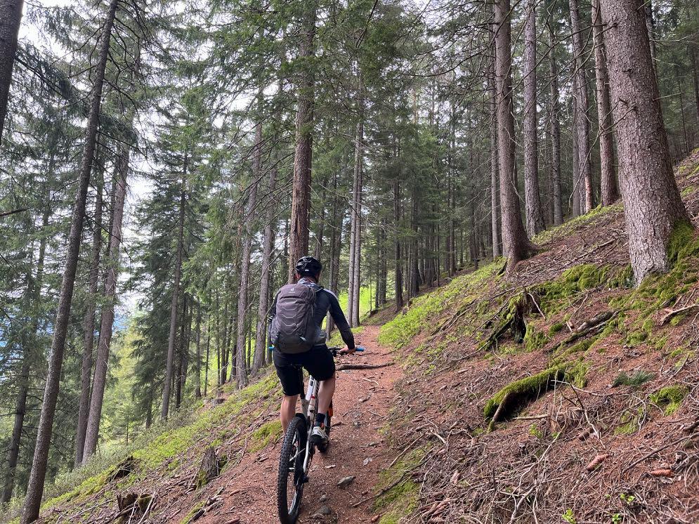

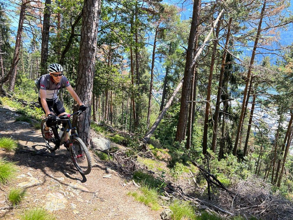
Wonderful forest floor.
www.go-alps.com


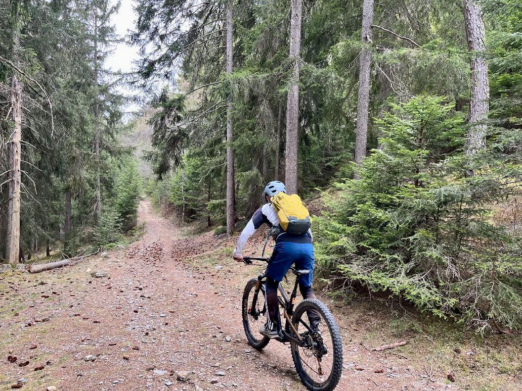

www.go-alps.com
Sloping gently downwards.
The start of a beautiful forest trail.

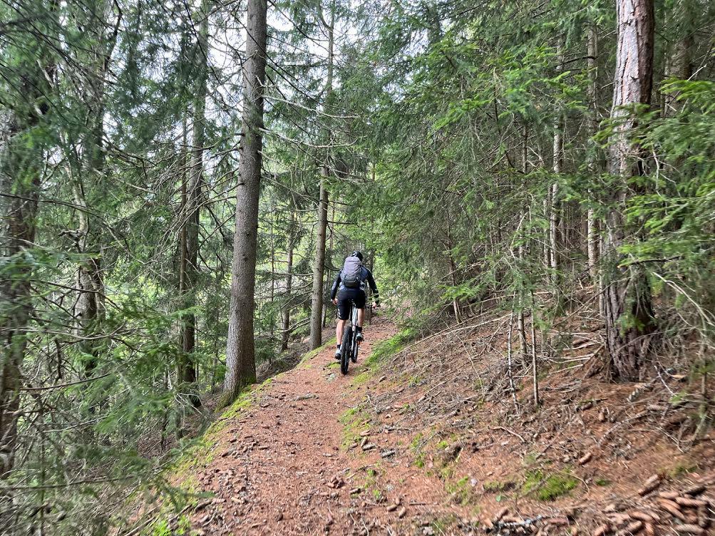


www.go-alps.com
Biker hearts beat faster.
Meadow section towards Tils.
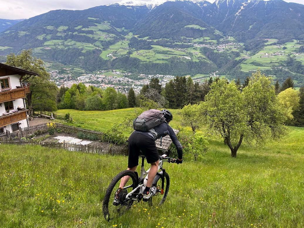

Some of them are a little steeper!
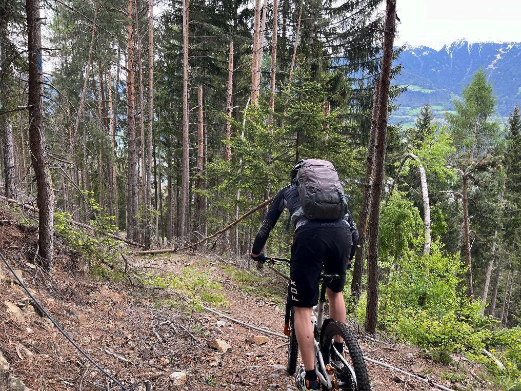

A few obstacles have to be overcome.
www.go-alps.com

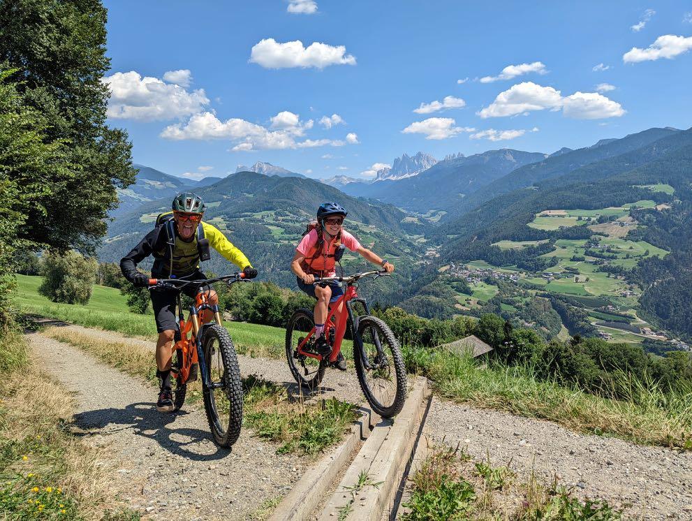
The first glimpses are revealed.

www.go-alps.com
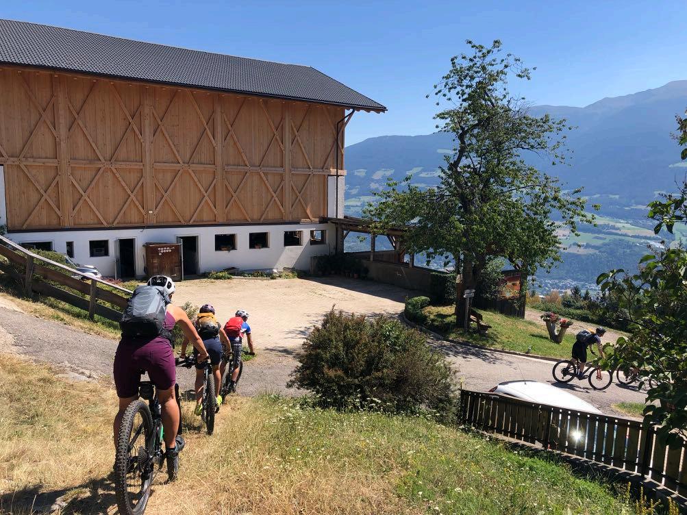

The lunch break is approaching.

Cappuccino or ice cream, or both?

www.go-alps.com



www.go-alps.com
Mega panorama of the Geisler peaks.
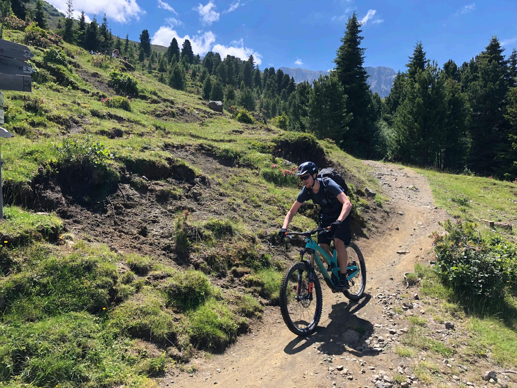
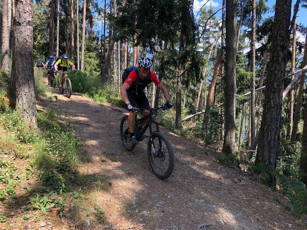
Ideal trail terrain.
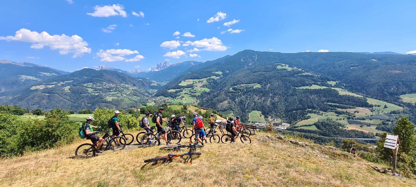

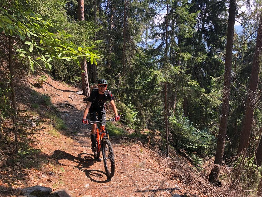

Some parts are quite technical again.
www.go-alps.com
From Verdins to Chiusa it is all downhill.


www.go-alps.com
Sägen monastery can already be seen. The old town of Chiusa is calling.
Short meadow crossing.
Elevation profile day 2

www.go-alps.com
Transalp Sella 2. stage - 27 km - 1200 m elevation gain
From Lajen to Selve Gardena

www.go-alps.com

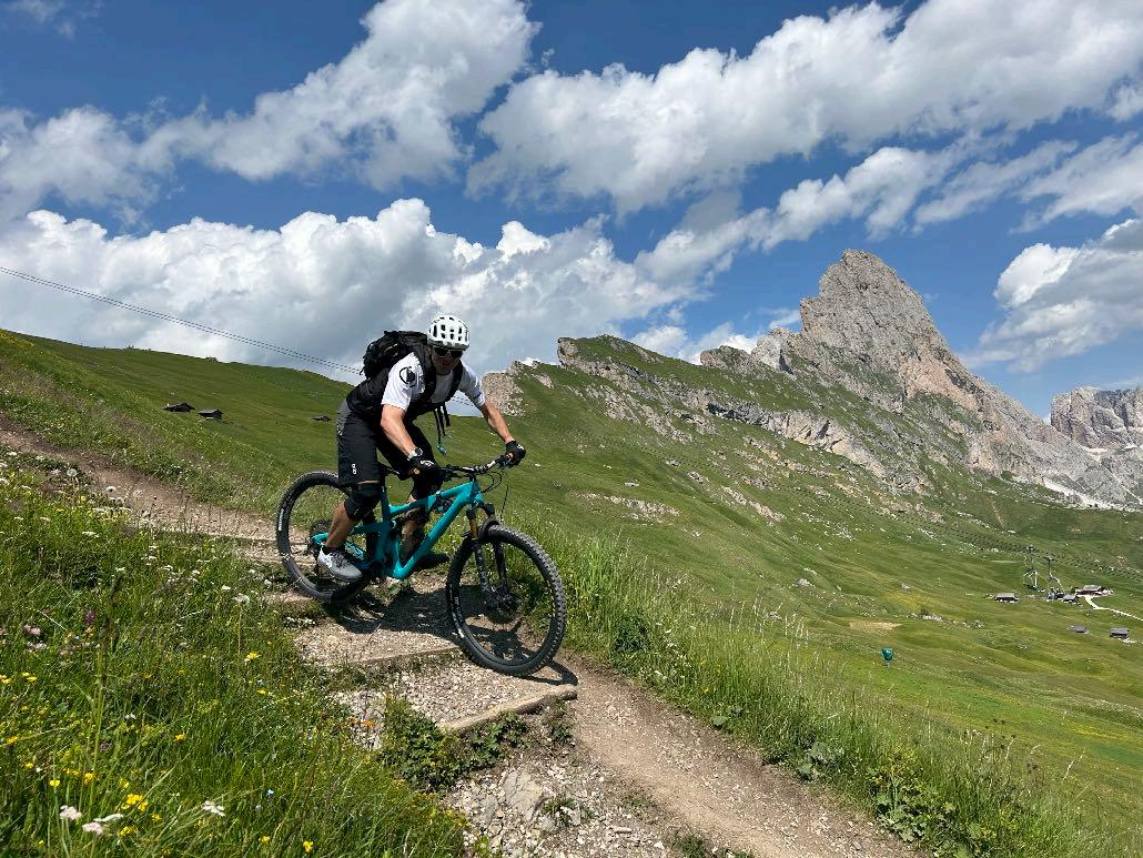
Route requirement day 2. - 27 km - 1200 m elevation gain
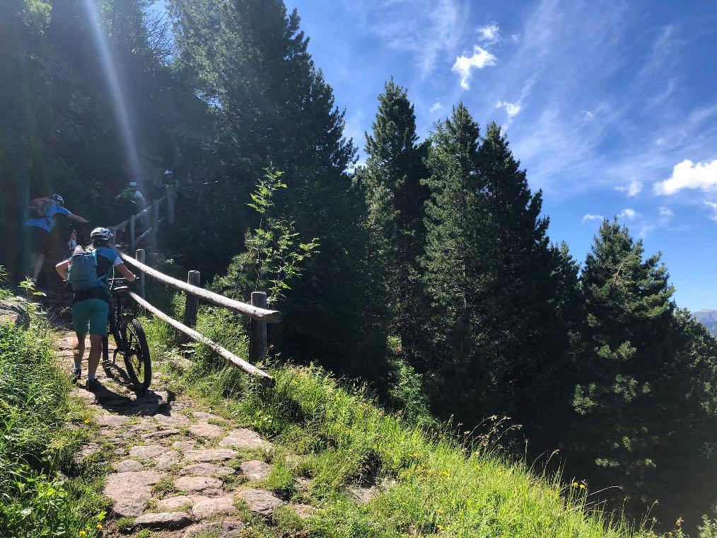
Mostly uphill is the motto of the morning. Initially on quiet asphalt roads, from the Gspoi Hof the surface changes to a forest path. Fresh buttermilk or a cool drink make up for the steep climb to Unterpulgerhof. The forest path ends in a meadow. Then begins an approx. 45-minute pushing and carrying passage (!) to Heiligkreuz/Raschötz. The route climbs up a steep slab path with lots of stones. From Heiligkreuz, a great network of trails opens up. Over a long and challenging trail section partly on the ski slope, over root and forest trails and with a spectacular river crossing, we reach the middle station of the Seceda cable car. A mix of short trails and gravel paths awaits us at the top. After the Regensburger hut, we first head downhill on a gravel descent, which is steep in places. An uphill trail takes us to the next hut. In the last section to Selva Gardena, gravel and many short trail sections await us again. The descent here is also steep and technical in places. We reach the Val Gardena valley directly below the Sella massif via a final panoramic trail.
www.go-alps.com
Highest meadow pasture in Europe - the Secede with a view of the Sassopiatto.

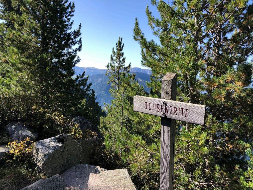

www.go-alps.com
The views make up for the exertions.
According to the legend, even Christ took the path to the Raschötz alp.
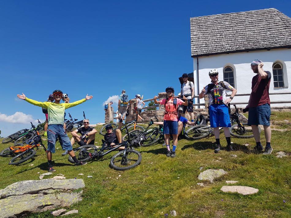

Catch your breath in the holy place.
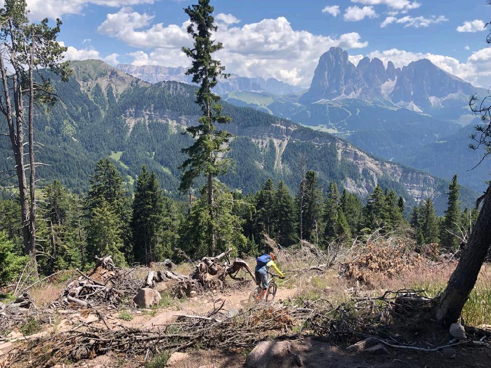

Challenging after the lunch break.
www.go-alps.com
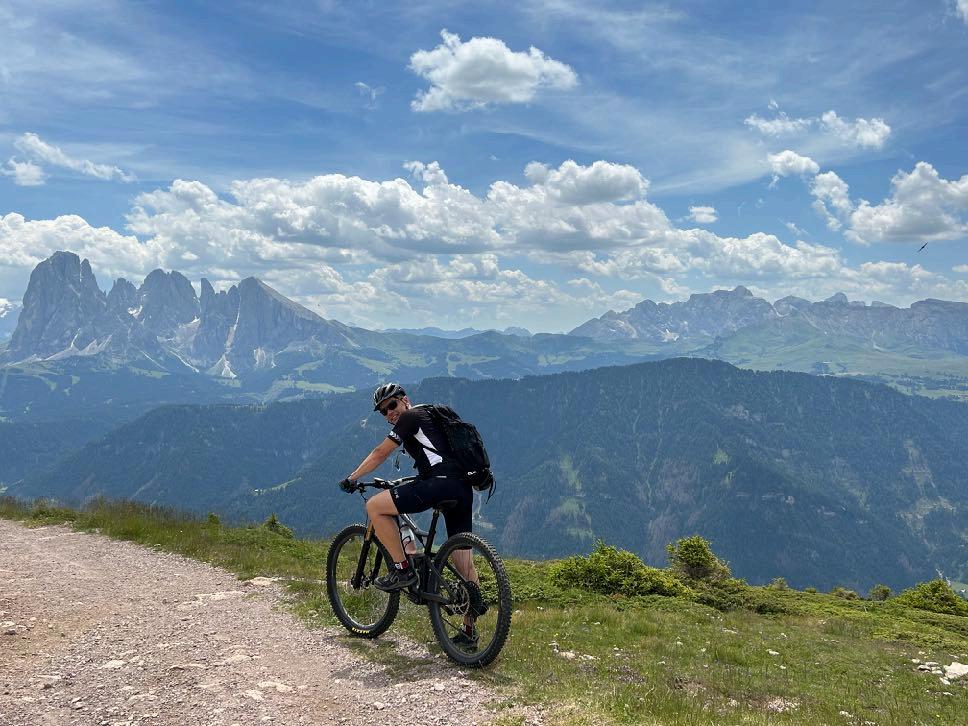

Just before the lunch break.


www.go-alps.com
Technically up to the cable car.
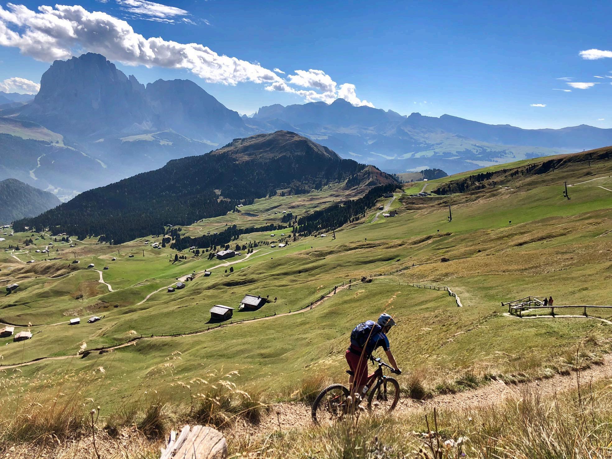
www.go-alps.com
Picture book landscape

www.go-alps.com

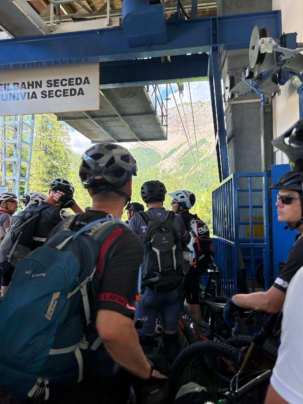
Waiting for the cable car.
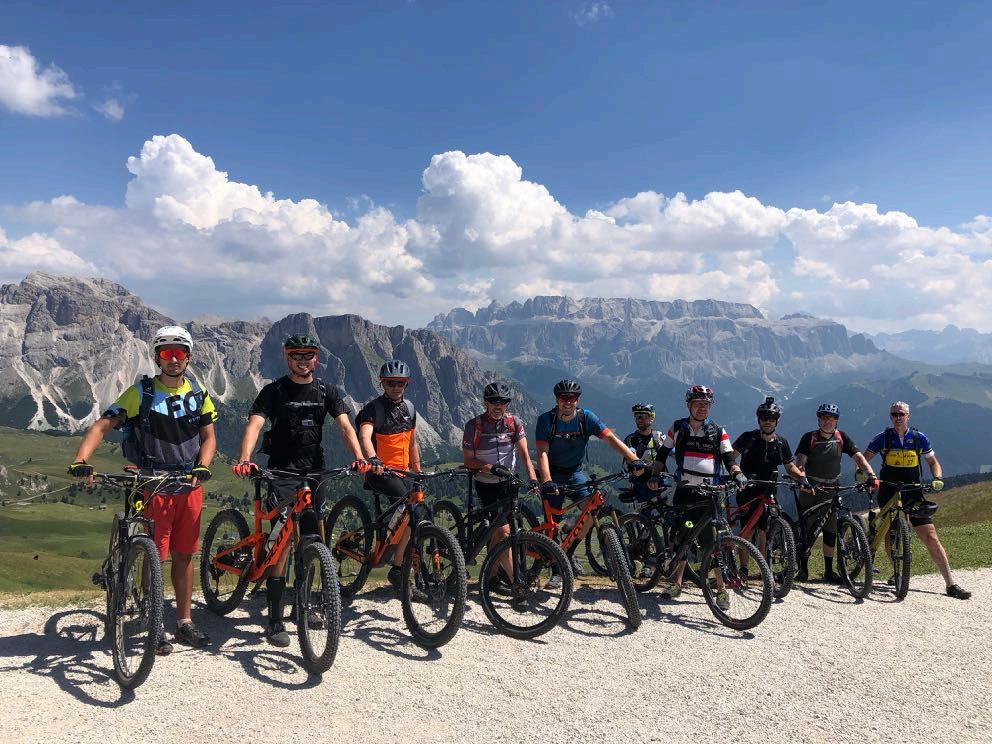

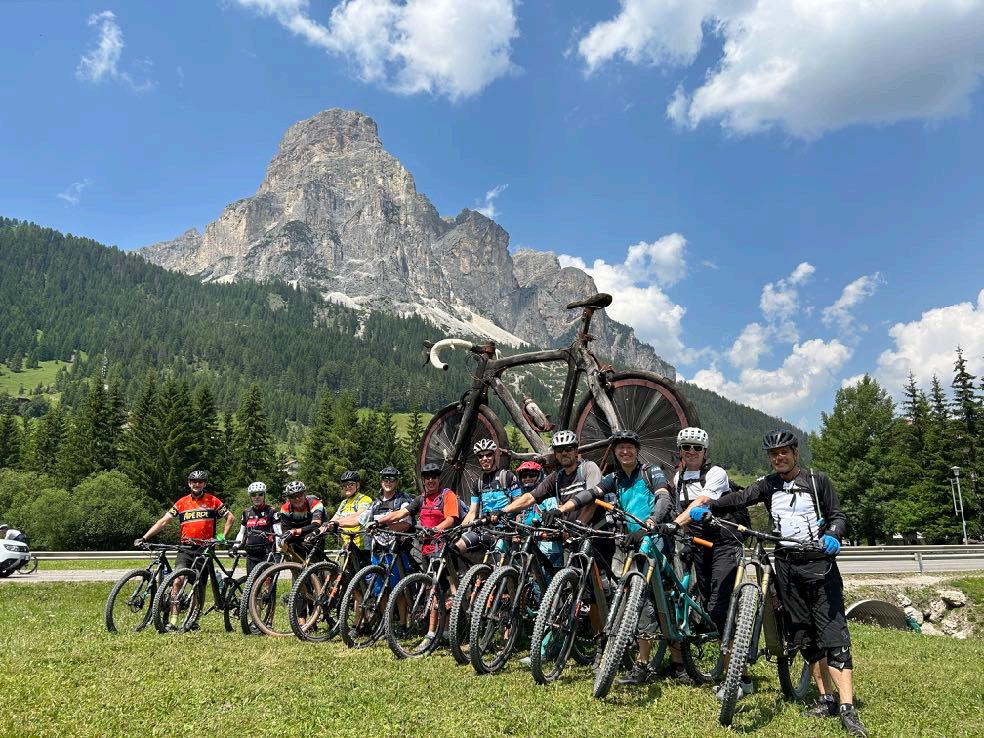
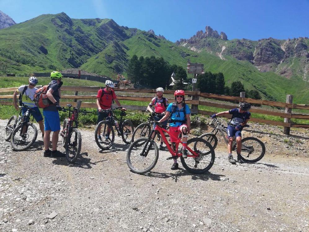
The group photo is mandatory.
www.go-alps.com
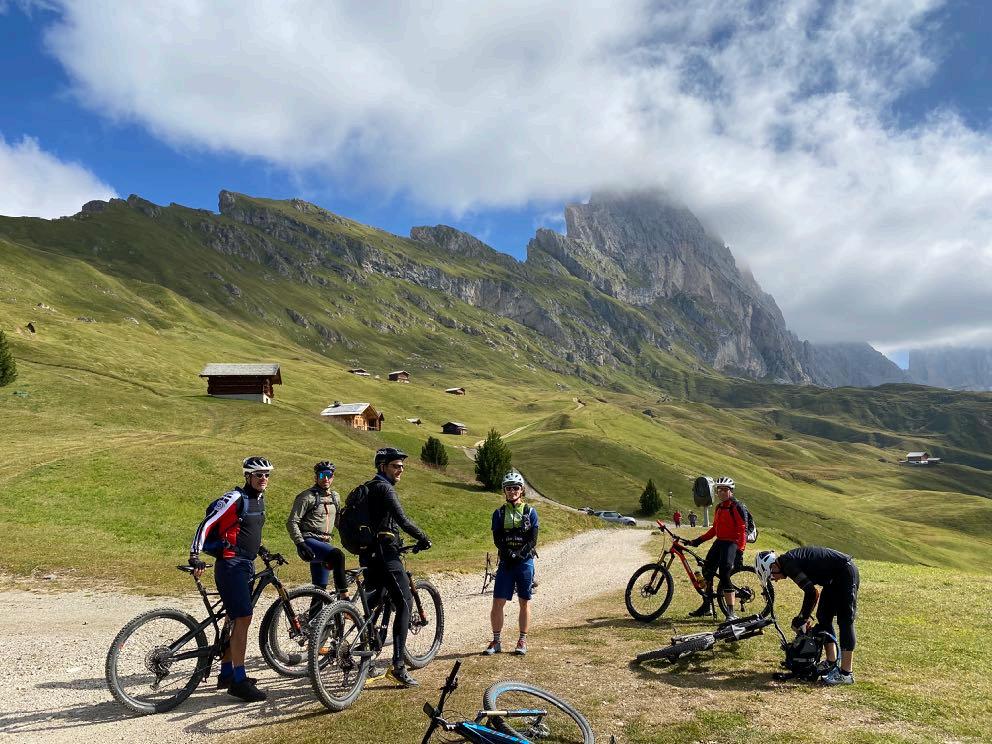

Unique backdrop.

Hidden trail sections.
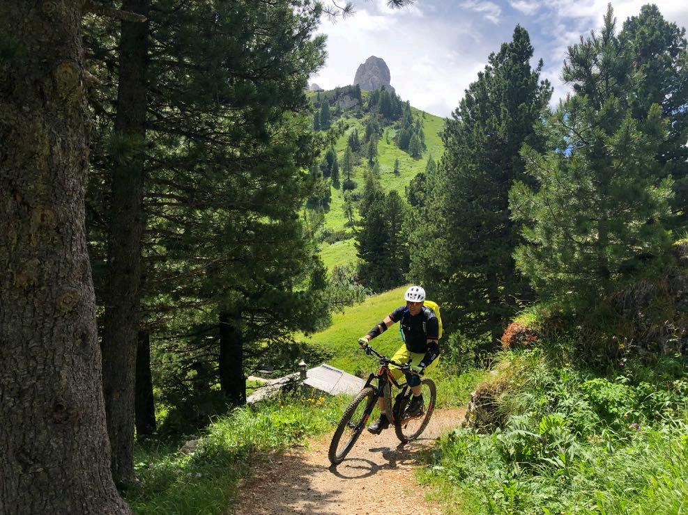
www.go-alps.com
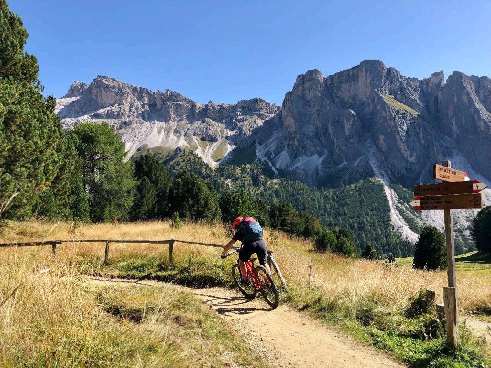

We are very close to the Dolomite peaks.

Our destination for the day: Selva Gardena with the Sella massif.

www.go-alps.com
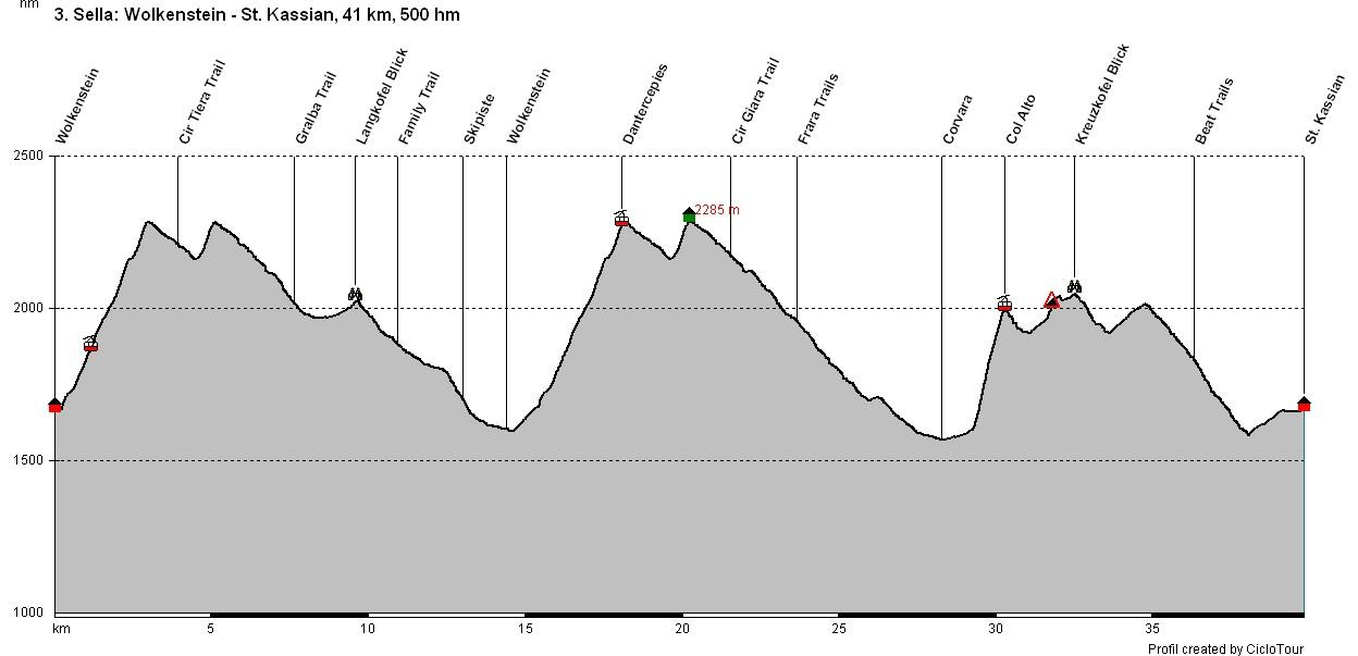
Elevation profile day 3
www.go-alps.com
Transalp Sella 3. stage - 41 km - 500 m elevation gain
From Selva Gardena to San Cassiano

www.go-alps.com

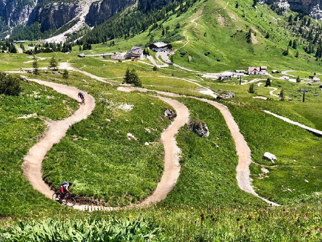
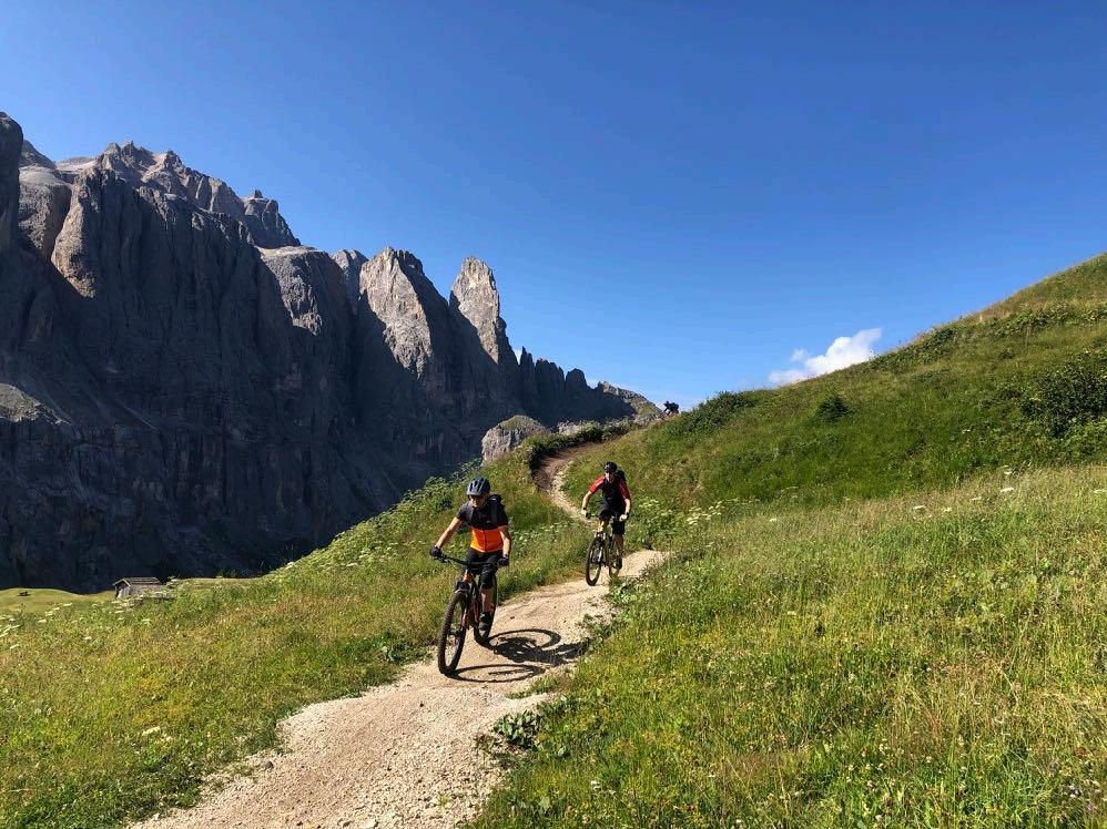
Perfect playground: The Cir trails were created on the Gardena Pass.
Route requirement day 3. - 41 km - 500 m elevation gain
The first 100 m in altitude are on asphalt until we reach the cable car that takes us to the Gardena Pass. Many bikers have been enjoying the Cir trails there since mid-July 2017. Gentle and never steep, the "Giara" trail winds its way through the terrain between the Dantecepies mountain station at 2300 meters and the Gardena Pass at 2120 meters. The countless bends have the perfect radius to make them fun to ride. A route for everyone. The "Tiera" Cir trail to the middle station is also available as an alternative. From the Gardena Pass we go on to Plan, a beautiful traverse below the Sella, leading us into the Family trail. Back to the Cir trails. From here, another bike trail leads to the Badia Abbey. 3,5 km along the Sella massif to Colfosco. After that, a gravel descent leads to Corvara. Gondola up to Col Alto. In the afternoon from the Pralongia plateau, the Beat trails once again put a smile on everyone's face. A perfect enduro day!
www.go-alps.com


www.go-alps.com
The Cir Trails are designed in three different variants.
Here, tips on riding technique for dynamic cornering are on top.


www.go-alps.com
Enduro day at the Transalp Sella.
Crossing to Plan del Gralba.



www.go-alps.com
Trail section towards Corvara.
Arrival in Corvara.

Built feeder curves.


 Just before San Cassiano.


Probably


www.go-alps.com
the most exhausting day of the tour.
You can also drive around.
Elevation profile day 4

www.go-alps.com
Transalp Sella 4. stage - 32 km - 1300 m elevation gain
From San Cassiano into the Fassa valley

www.go-alps.com

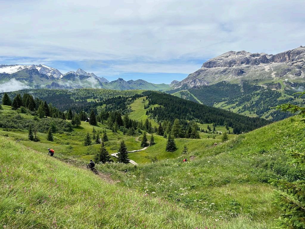
From the Pralongia down to Arabba.
Route requirement day 4. - 32 km - 1300 m elevation gain
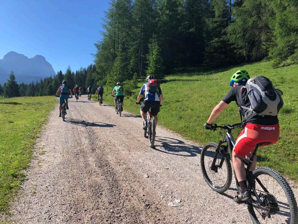
A gravel road takes us to Pralongia. The following Fle trail is a path designed for bikers, which leads over some bumps from the green hills of the Pralongia and down over marshy areas with long wooden footbridges. The trail then leads us up and down, finally descending steeply over the ski slope to Passo Campolongo. An old cart track, steep and stony in sections, takes us to Arabba. From there it's uphill. Initially via the winter valley descent on forest paths. A few hairpin bends on the pass road to the Pordoi cannot be avoided. A gravel climb takes us to the trail that leads us to the Pordoi pass. There are 80 meters of elevation gain and short sections of pushing here. The descent to Canazei is varied. Bike trails, challenging root sections such as the Infinity trail and steep ski slope descents take us into the Fassa valley. We spend the night at an altitude of almost 2000 meters.
www.go-alps.com


www.go-alps.com
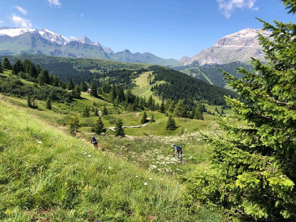
Marmolata, Sella massif and a great trail.
The first climb of the day up to the Pralongia.


www.go-alps.com
The entire Sella massif with Piz Boe as the highest peak (3152 m).
Cappuccino break with 360 degree panoramic view of the Dolomites.


From
www.go-alps.com
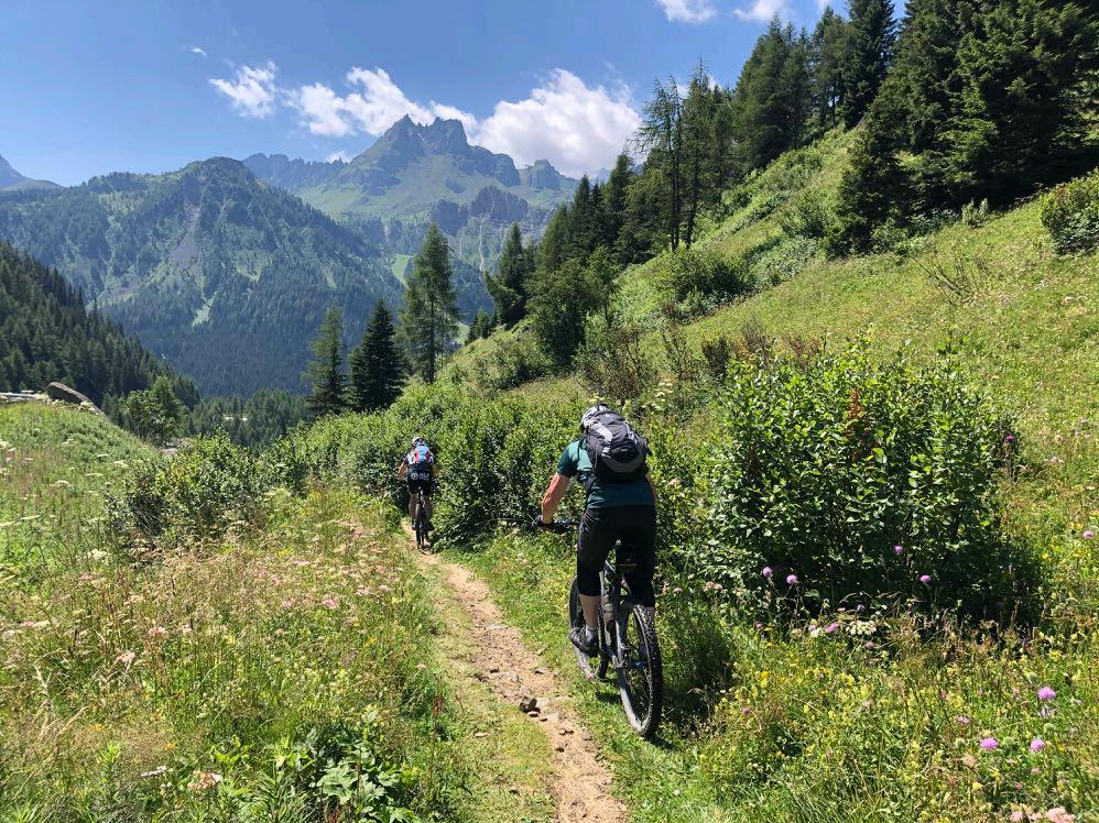
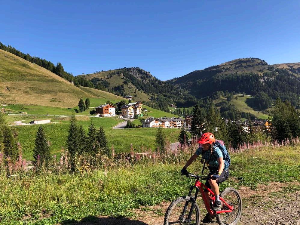
Arabba onwards, it’s all uphill.
A rough descent to Arabba.

Biking in the most beautiful mountain panoramas.


www.go-alps.com
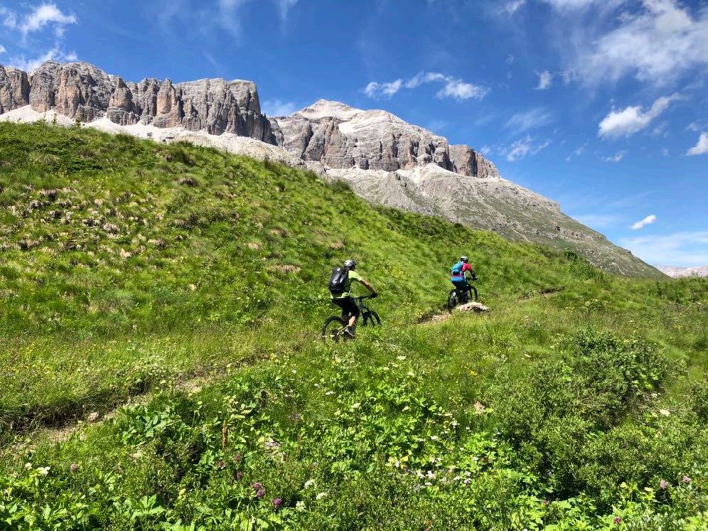
The last few meters to the top of the pass.

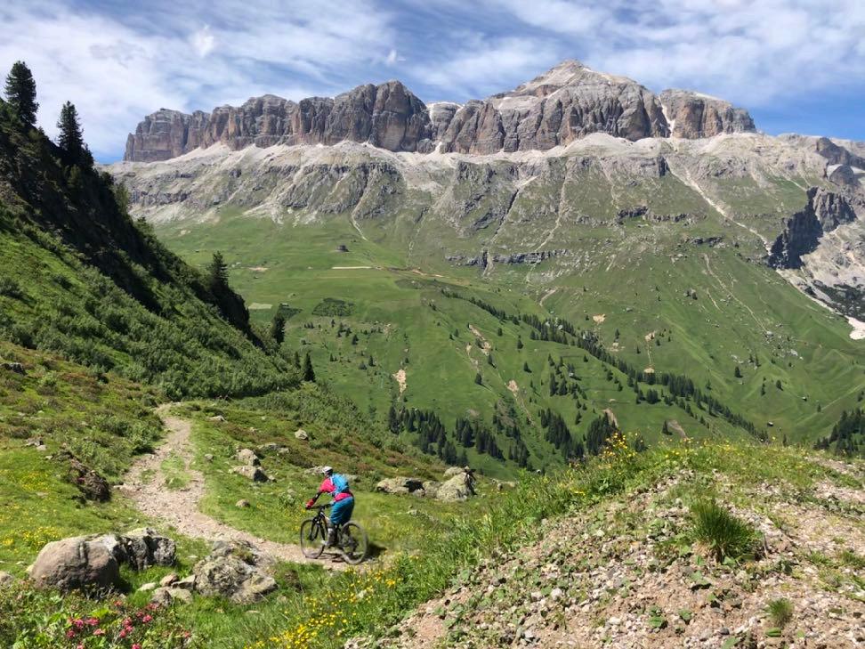
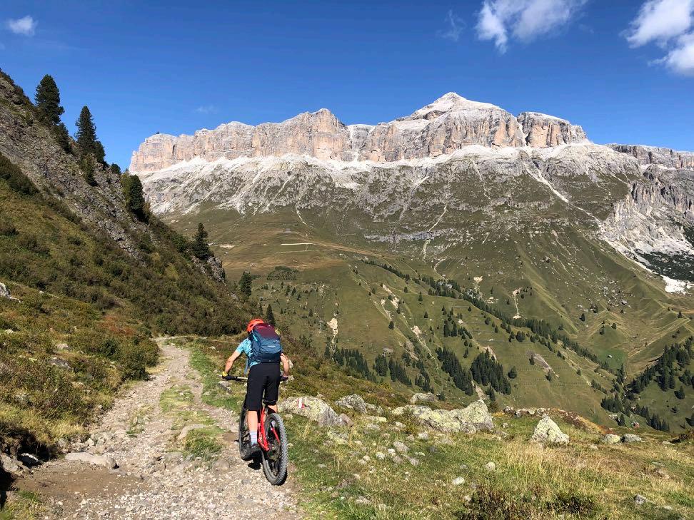

Immerse into a dream setting.
www.go-alps.com
The Sella massif is with us almost every day.
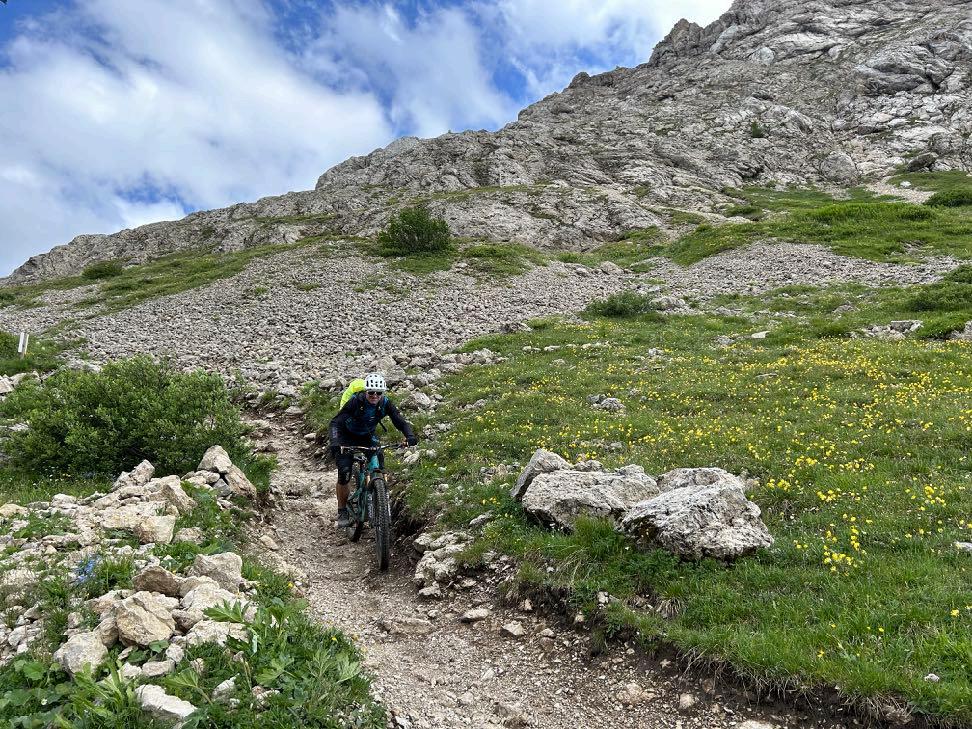

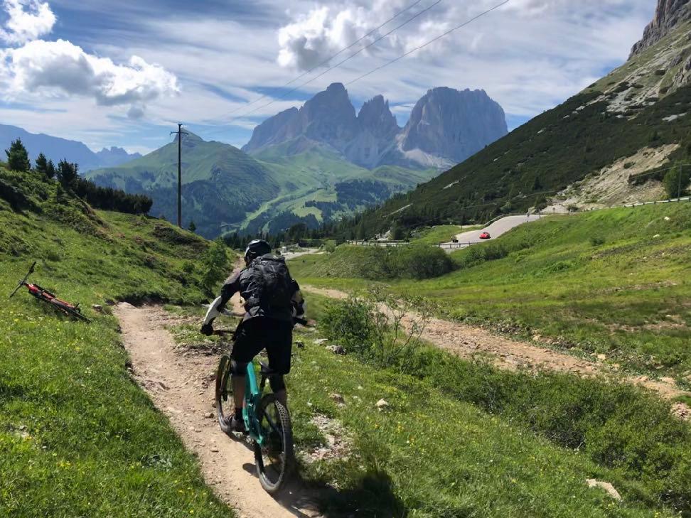

www.go-alps.com
Infinity trail at the Pordoi pass.
The last challenge of the day.


Implement what you have learned directly and apply cornering technique.

Shortly before the exit.

www.go-alps.com
Elevation profile day 5
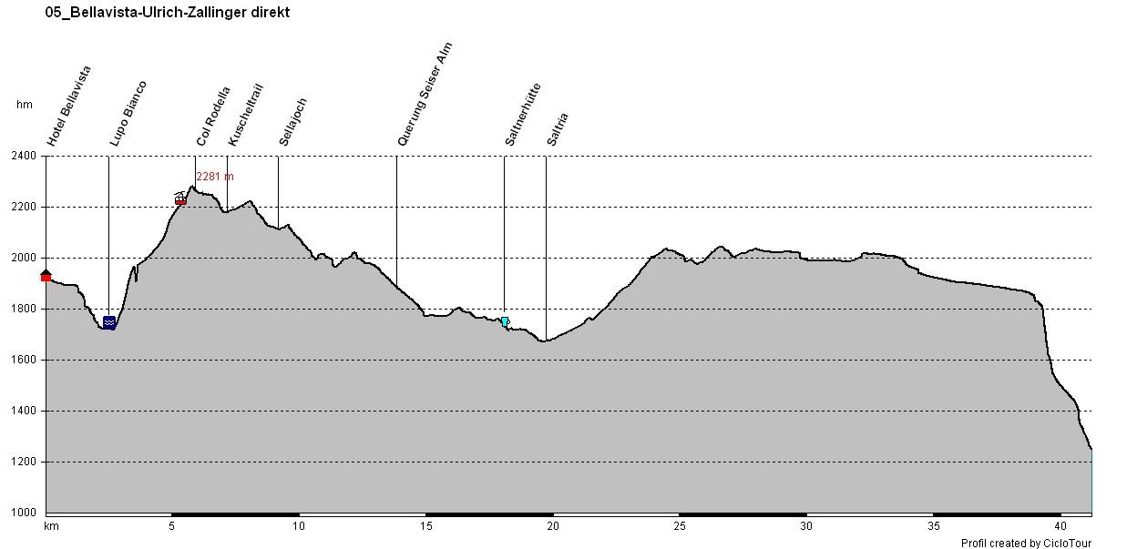
www.go-alps.com
5. Stage From Fassa valley to
Urtijei
48 km 1000 m elevation gain
Today we complete the Sella Ronda. With the Sellajoch, we are still missing the fourth Sella pass. A short descent in the morning and we are already at Lupo Bianco. From here we take the cable car up towards Col Rodella. Up to the start of the Kuschel trail we have a short, very steep climb. Our route then leads directly along the Sassolungo massif to the Alpe di Siusi. But first we pass through the Stone City. The many stones and rocks of different sizes can be admired right by the wayside. Alpine climbers can also add a few rope lengths here.
Another highlight is probably the most extraordinary gondola in the Dolomites. A ride on this conveyance, which has been in operation since 1963, is certainly a little adventure. The largest high alpine pasture in Europe spreads out before us. 64 square kilometers of pastureland. We take a spectacular panoramic tour at an altitude of 2000 meters. The Sciliar with its striking Santner peak is the perfect
Highlights today
• The Sella massif
• Stone City
• Sassopiatto and Sassolungo
• On the Alpe di Siusi
• Departure to St. Cristina
photo motif. But many other Alpine peaks are also visible from this point of view. On a good day, the view stretches from the Fanes to the Ortler, from the Paganella to the Ziller valley. On the mountain pasture, we share the paths with many hikers and E-bikers. However, we still find a small hidden trail. Our route continues to the back of the Catinaccio and very close to the Sassopiatto. There are numerous huts where you can stop for a bite to eat. Then we leave the mountain pasture. The long gravel descent offers repeated views of the fantastic peaks. We reach the Val Gardena valley again, but do not spend the night in Selva Gardena; instead, we whizz past Santa Cristina to the wood and sculpture village of Urtijei, the birthplace of Luis Trenker.
www.go-alps.com


Route requirement day 5. - 48 km - 1000 m elevation gain
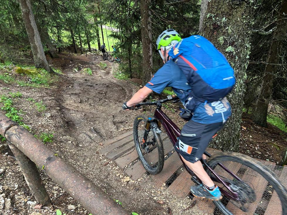
Short descent to the valley station. From the mountain station, a short but very steep climb to the start of the Kuschel trail. This is very technical in sections as the pedals have to be positioned correctly. There are also many gullies. The route continues through the Stone City on a forest path that separates bikers and hikers. After the Rifugio Comici, we roll briefly downhill on loose gravel, and then loop into the Alpe di Siusi circuit. Here we cycle mostly on gravel paths, both uphill and downhill. We make a great panoramic loop. Shortly before the Duran pass, we hit the trail delicacies of the Alpe di Siusi. A long forest descent also leads downhill from the Alpe di Siusi. At the end above Urtijei, another very tricky trail awaits us. Hairpin bends, steps and a short stretch of pushing is ahead. The last few kilometers to the hotel are a relaxed downhill ride on the cycle path between St. Cristina and Urtijei. Perfect for a relaxed roll-out.
www.go-alps.com
Alpe di Susi panoramic circuit.

Often
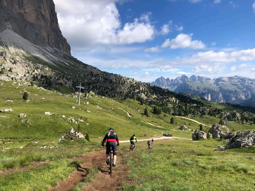

Start
www.go-alps.com
slippery in the morning!
at Col Rodella.


We

And

www.go-alps.com
pass through the Stone City.
another great panorama above the Sella pass.


www.go-alps.com
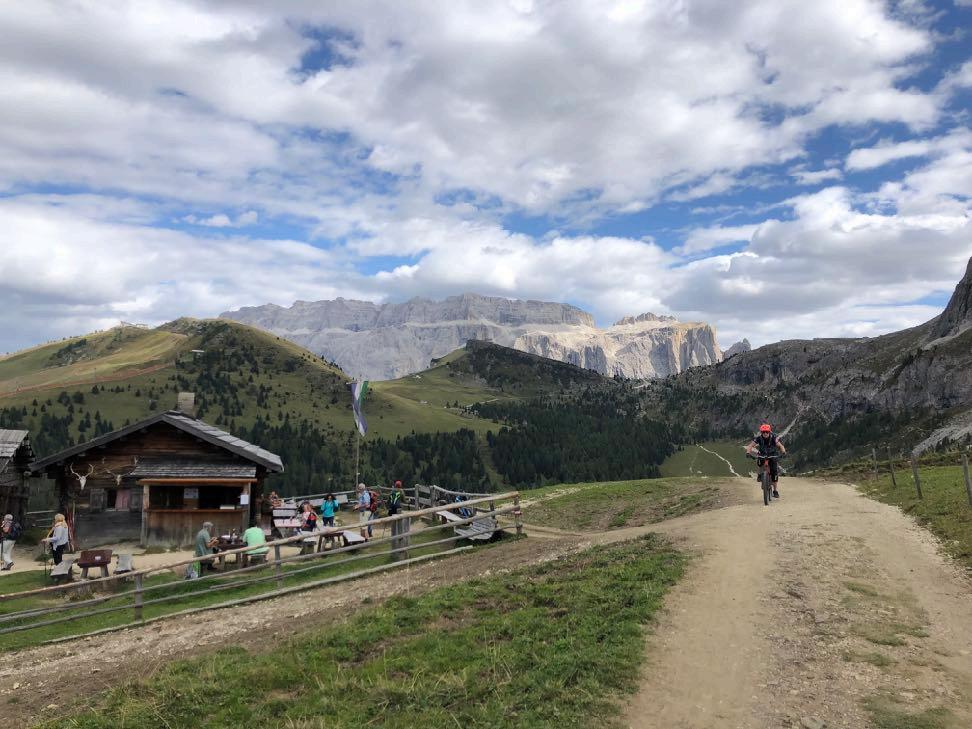
Rustic hut on the way to the Alpe di Siusi.
Nice section of trail directly under the Sassolungo massif.

At the highest point of the alp. The Denti di Terrarossa in the background.
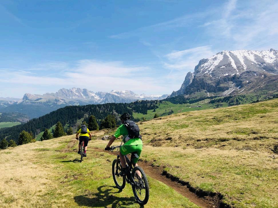

Nothing unusual in June. Residual snow fields on the Sassopiatto.
www.go-alps.com


www.go-alps.com
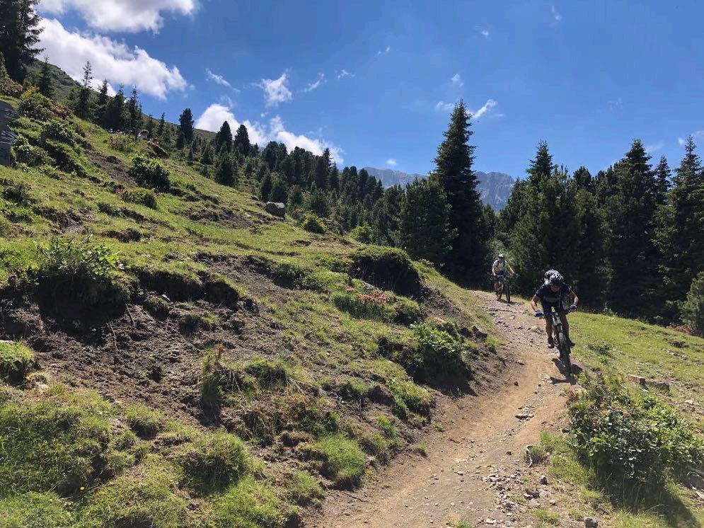
Mountainbiken at its best.
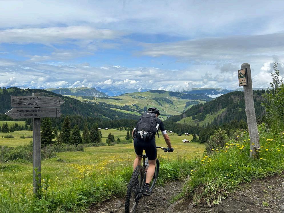
Most beautiful MTB trails on the Alp di Siusi.


www.go-alps.com
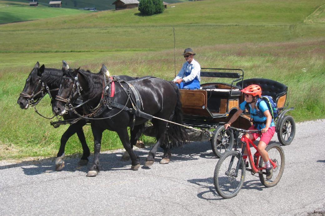
Horse power against muscle strength on the Alp di Siusi.
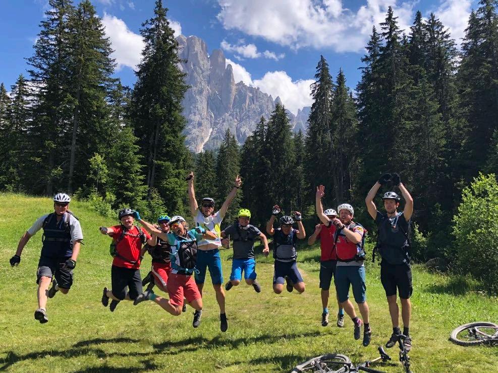
A happy group after the day on the Alp di Siusi.
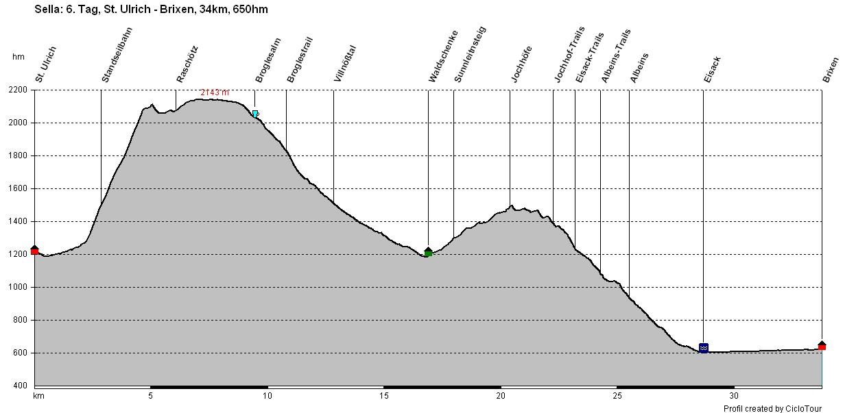
Transalp Sella 6. Stage - 34 km - 650 m elevation gain
From Urtijei to Brixen
www.go-alps.com
6. Stage From Urtijei to Brixen
34 km 650 m elevation gain
On to the grand finale. All the MTB elements are included again today. First, the funicular takes us up from Urtijei. The panorama inspires us again. Memories come flooding back. We were here just a few days ago. Today, however, we ride gently uphill to the Brogles saddle. We see the Geisler peaks with Sass Rigais from the other side. We reach the Villnöss valley and St. Magdalena via the Brogles saddle. Reinhold Messner, who grew up in this side valley of the Eisack valley together with his brother Günther and conquered various peaks there as a child, is probably the most famous person from Villnöß. We also have to struggle here. From the saddle to the alpine pasture, a steep slab path leads down first. After a cappuccino break at the Brogles hut, the following trail demands absolute concentration.
The trail is rocky and bumpy in places until we reach the forest road, which
Highlights today
• Funicular to Raschötz
• The Brogles saddle
• The Geisler peaks
• Descent into the Villnöss valley
• Trail finale to Brixen
leads us to our lunch break. In the afternoon, we have to master another sweaty climb. The Höfe path in theVillnöß valley demands everything from man and machine on the last day. Again and again, the route climbs over a root step. These exertions are also history at the Jochhof. Now we concentrate on the last long downhill back to Brixen in the Eisack valley. Great but also challenging forest paths with lots of roots, few hikers and a few hairpin bends herald the finale. The trail above Albeins only spits us out very late. Now everything happens very quickly. We reach the city center of Brixen through apple orchards directly on the Eisack. A week of superlatives with lots of offroad and unforgettable experiences comes to an end.
www.go-alps.com


In the face of the Geisler peaks.
Route requirement day 6. - 34 km - 650 m elevation gain
We have to climb 100 steep meters on asphalt to the funicular. On the Raschötz, wide hiking trails lead further up to the Brogles saddle. From the saddle to the Brogles hut, a steep slab path leads downhill. This is followed by a very stony, narrow and steep trail to the forest path that takes us into the Villnöß valley. A long forest road descent leads to St. Magdalena. Afterwards, we have another strenuous climb on various paths. The uphill trail in Sunnleitnsteig is in a category of its own. Almost 400 meters in altitude have to be mastered. Then the longed-for downhill into the Eisack valley finally begins. The descent is mainly in the forest. A super trail finale to Albeins. Forest and root trails, some steep, some flowing! Finally, the trail leads us along the Eisack and through the apple orchards directly into the city center of Brixen. The last day should not be underestimated under any circumstances. Here, too, all the MTB elements have to be mastered once again.
www.go-alps.com


www.go-alps.com
Panorama funicular to the Raschötz alp.
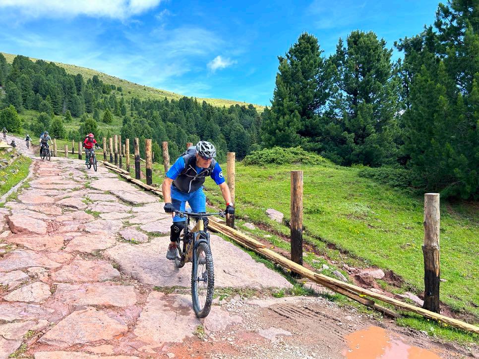
Slab path on the Brogles saddle.
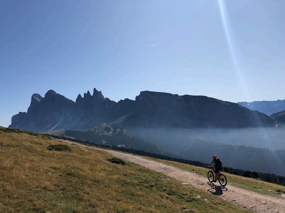
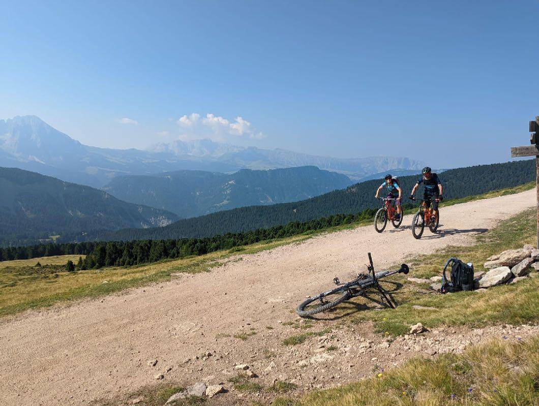

We head directly towards the Geisler peaks.

Great atmosphere on the way to Brogles saddle.
www.go-alps.com


www.go-alps.com
Cappuccino break at the Brogles hut.
Place to be.

Demanding passage! Not everyone has to ride.


www.go-alps.com
Wonderful views in the Villnöss valley.
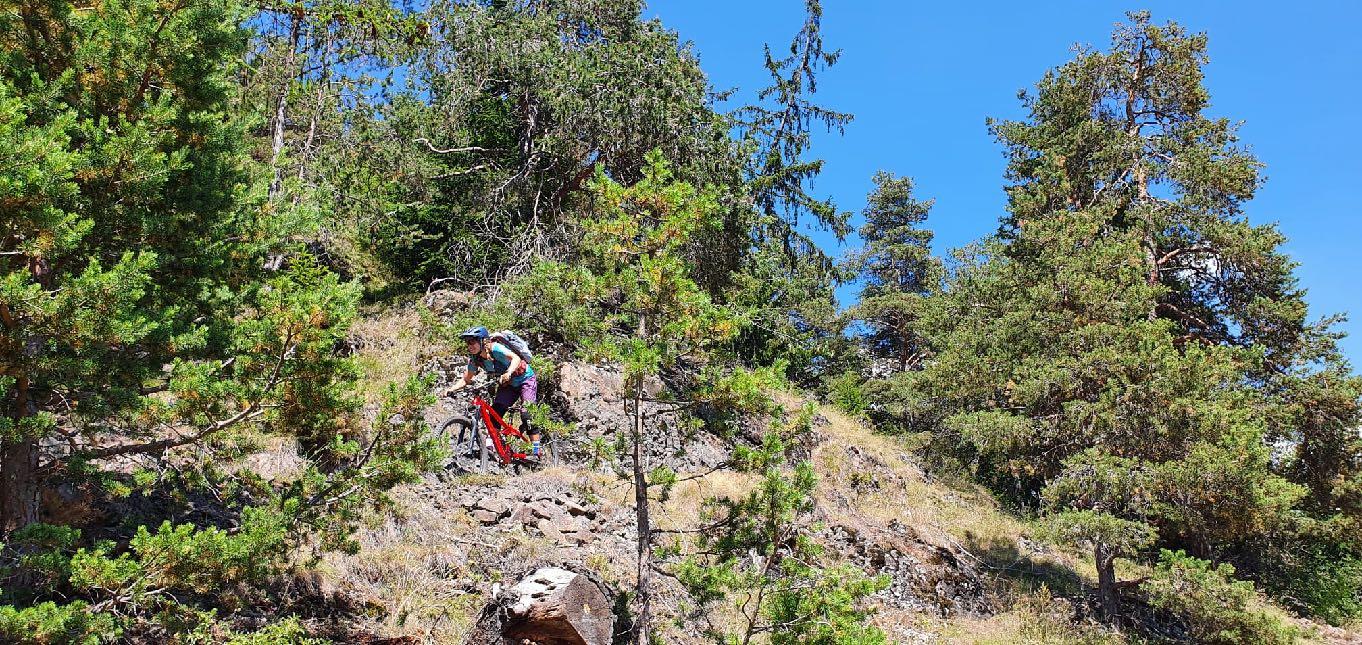


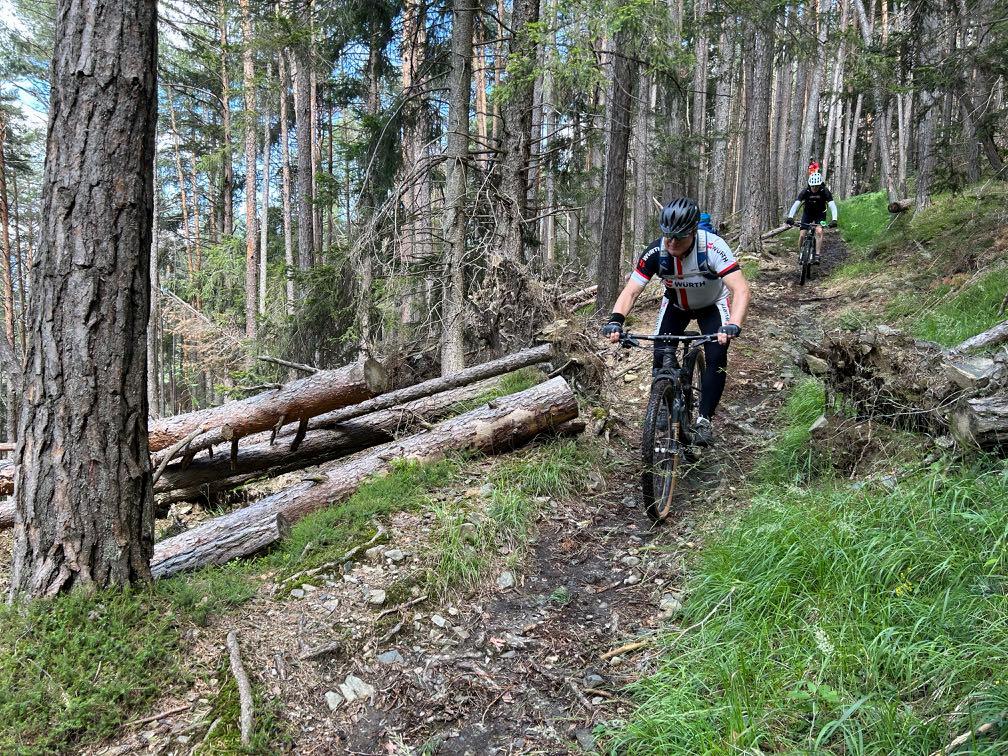
www.go-alps.com
The trail finale into the Eisack valley.
On the last trail section.
6 stages - 220 km - 6100 m elevation gain
Level 3

Transalp Sella
Ronda Grande - from Brixen to the Sella massif and back
Design, texts and photos:
Sascha Müller, Severine Petersen


www.go-alps.com


 Just before San Cassiano.


