

Zihui Zeng Selected works from 2018-2022 Application to University College London for MLA Landscape Architecture +86 136-0162-5114 / zengzh23@outlook.com Portfolio 01 Tide & Dike Oil Tank Factory Renovation Individual/Acdemic/2022 Winter 02 Filtration Improving Life Conditions for Slum Dwellers Individual/Acdemic/2022 Autumn 03 Return To The Mountain Memorial of an Abandoned Village Individual/Acdemic/2019 Summer


Sea-level Rise in Houston SITE City History The hurricane exacerbated the economic damage Houston was incorporated by the Texas Legislature 5.06.1837 The Texas oil boom causes people to move into the city, causing its first growth spurt. 1920s Tropical Storm Allison devastates the Houston area. The storm is called a 500-year event 06.2001 Sea level rised nearly 101.4 mm since 1993. 2022 2050 SLR 2062mm 2070 SLR 2982mm 2150 SLR 6262mm Texas USA Houston SLR Area By 2050 (from 1993) SLR+Hurricane surge 2062 mm By 2070 (from 1993) SLR+Hurricane surge 2982mm By 2150 (from 1993) SLR+Hurricane surge 6262mm 2020.08 Hurricane Laura 87BILLION In Damage 2017.08 Tropical Storm Harvey 1250BILLION In Damage 2001.06 Tropical Storm Allison 5.5BILLION In Damage 1900.08-09 Galveston Hurricane 1.097BILLION In Damage 2008.08 Hurricane IKE 380BILLION In Damage Rising sea levels exacerbate hurricane impact on Houston Sea Level Rise Per Year 41mm 963 2020 2040 1752 2060 2572 2080 3392 2100 4212 2120 5032 2140 5852 2150 626.2 6262mm In 2150 Oil is discovered in Texas, from which a new industry will start. 1900s From 2050~2150 Individual work Houston, Texas, America Area: 200 ha Date: 12/2022 01 Tide & Dike Landscape Strategies to Resist Sea Level Rise





3
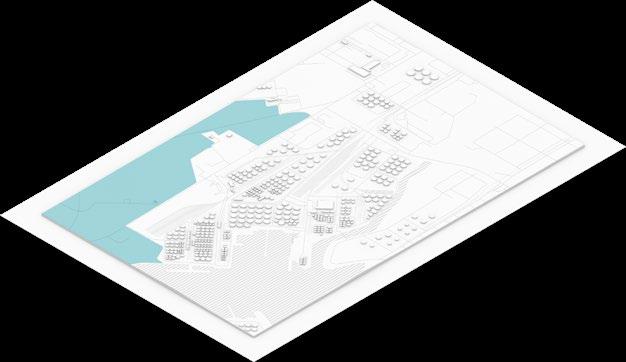
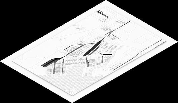
SLR on the Site Vertical Analysis
Green Space Wharf Oil Tank River Railroad Road Train station is submerged Oil tanks are submerged Historical remains are submerged Dock is submerged Current Section 0m 200m 800m 1' 2' 3' 4' 1 2 3 4 626.2mm 298.2mm 206.2mm Park Shore Woods 1-1' 626.2mm 298.2mm 206.2mm Oil Tank 2-2' 626.2mm 298.2mm 206.2mm Oil Tank Freight Train Dock 3-3' 626.2mm 298.2mm 206.2mm Tucker Bayou Buffalo Bayou 4-4'
Current Situation
Influences
Surge barriers & reef topography Generation
Contains several types of dikes and ecological reefs to stop sea level rise, reduce the threat of high tides to cities in the context of rising sea levels year after year, and to enhance bio diversity.
Determining the direction of the composition
Forming topographic blocks


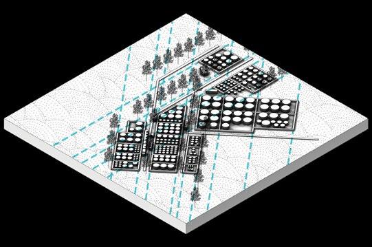
Functional areas based on three phases of sea level rise


Floodable and non-floodable zones define the location of Rigid dike


Set up frames on the terrain to help the oysters parasite on it
3 Weeks
Free-swimming larvae
1-2 Years
Grows into adult oyster with the ability to change sex
3-20 Years
Proliferate and create oyster reefs
Cargo Movement Line
Pedestrian Line
I hope that apart from ecological improvements, this factory site will also introduce some public spaces such as waterfront platforms/walkways and wetland walkways.

Separate pedestrian and tanker area routes

4 Stretching diagonals Lifting Sinking Filling And Excavation 01 02 03
1 2 3 4 5
Unit-A 240m×100m
Unit-B 120m×50m
Master Plan

Transform into a coastal ecological wave breaker


5
N 0m 100m 200m 400m 600m 1 1 1 2 3 4 5 6 7 8 8 11 11 10 10 9 11 11 11 11 12 12 Legend 1. Dike 5. Tidal
9. LID afforest 2.
6.
10.
3. Oil
7.
11. Shelter
4.
8.
12.
1 2 3
pool
Buffalo Bayou
Wharf
Reserved factory
tank Observatory
Oyster reef
belt and wind break
Railroad Transformation Park
Salt marsh
Roadway
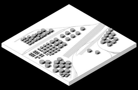
1 Terrain & Oil tanks
2
The Sea Dike 3 Park on the Dike
Stage diagram of the site evolution


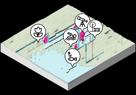
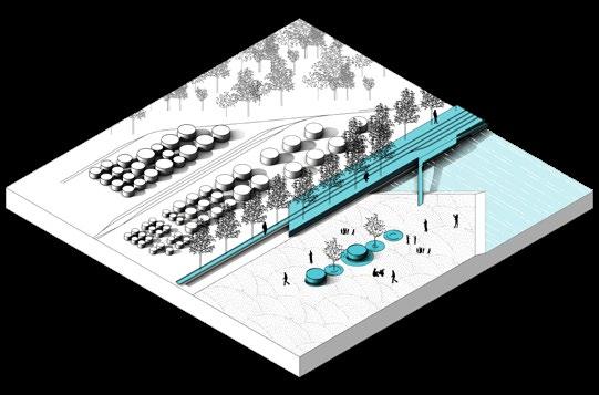
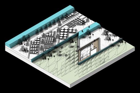

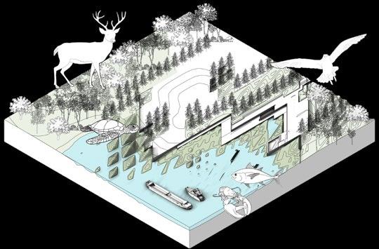
The site is protected from the threat of sea level rise by means of topographic filling and ecological restoration. And create an ecologically environment for sustainable development.

Step
Step
CNC Model 540×400×34mm
The CNC model simulates the topography of an attached oyster reef, which not only resists high tides, but also facilitates the attachment of marine life to the submerged terrain.




6
1
SLR-963mm Wharf & Concrete river bank Direction of Cofferdam Seperate Partition Park & Factory Oil tank & Railway
3 2150 SLR-6262mm Wetlands & Shoal Opidijk Dike Habitat restoration Activity scene Transform into Civic Park
President
Step
2 2070 SLR-2982mm Fill and excavate to Improve shoreline Sea Dike & Terrain Introduce oysters & arbor Moving line along the embankment Relocation and Demolition Coastline Sea Dike & Terrain Coastal ecology Public realm Oil tanks & Railroads 01 02 03 04 05
Terrain Sea Dikes High-line Park
Tanks
Oil
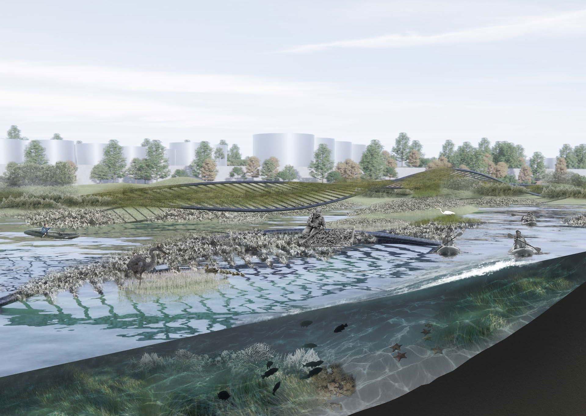






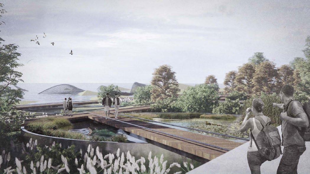


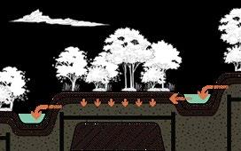
Coral reefs Seaweed Oyster Reef Heron The Great Blue Heron Mottled Duck Sea Crab Starfish Shallow Sea Fish Waves weaken Introducing Oysters To Restore The Ecosystem And Transform The Industry N2 Denitrification NH4 Clean Water Oyster Farming Algae and water plants further purify the water Harvesting and selling oysters Fishing Economic benefits Reinforce Dike Sediment Provide seeding material Resisting Sea level rise Perspective from the Oil tank Park Perspective from Wet Land Pedestrian


Devoured Mountain and Congested Favela Site Surrounded by slums Brizil Rio de Jeneiro The plight of the residents Nowhere to put garbage Power shortage Water sanitation issues The problem of water sanitation has not been solved for a long time, and the residents' domestic water is seriously polluted. +Lack of clean domestic water +Unforeseen power outage +One third of the population lives in slums 50% times/week 18.6% No answer 6.3% 1 time/2monthes 6.3% 1 time/month 6.3% ≥3 times/week 12.5% 2times/week 8% clean water Individual work Rio de Janeiro, Brazil Area: 8 ha Date: 09/2022 02 Filtration Rights for Healthy Environment
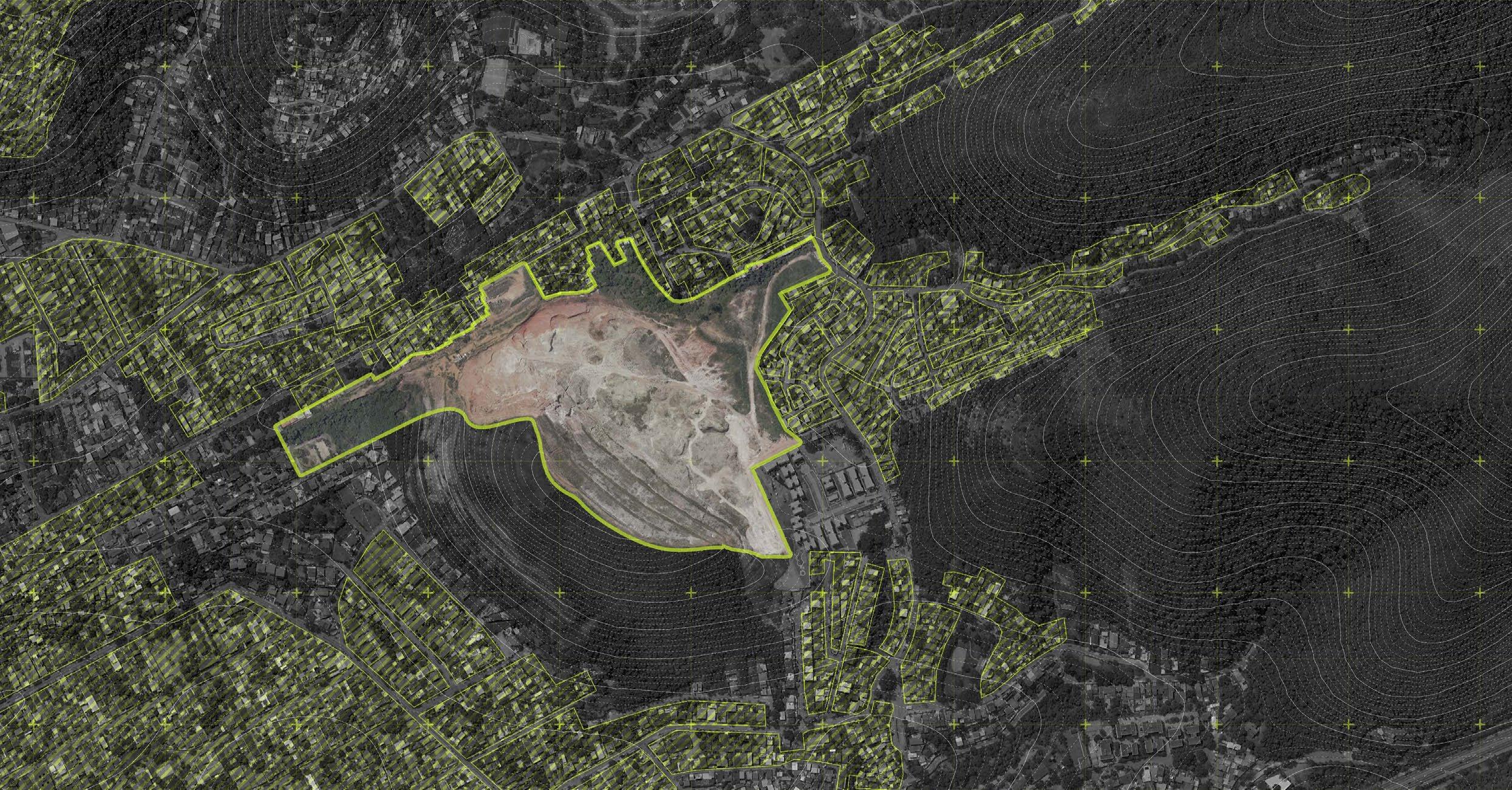

30m 45m 60m 75m 90m 90m 90m 105m 105m 105m 120m 120m 120m 120m 135m 135m 135m 135m 150m 150m 150m 150m 165m 165m 180m 180m Abandoned Mine with Bare land A A' How to provide value for dwellers? Section A-A' Favela Abandoned Mine Mountainous areas Slopes over 8%, Uninhabitable Favela Area Lack of water, electricity, sanitation and environment are worrying Abandoned Mine 12.5ha, exposed pit land Average rainfall/rainfall days Rio 0 10 20 30 Jan 19.8D 15.8D 22.7D 16.7D 12.8D 9.8D 9.3D 10.4D 13.7D 18.3D 21.3D 21.9D 102mm 96mm 85mm 52mm 51mm 29mm 31mm 35mm 47mm 67mm 119mm 98mm Feb Mar Apr May Jun Jul Aug Sep Oct Nov Dec 40 60 80 100 120 12.5ha 84583m³/month Rainwater collected per month 8640m³/month Domestic wastewater for 600 families + Household domestic sewage


10 1 2 3 4 5 6 7 8 10 9 11 12 13 14 15 13 13 13 2 STEP-4 Unit Morphology Water walkway 4 Pedastrian Road 8 Viewing platform 12 Open Air Market 2 Waterfront platform 6 Stream 10 City arteries 14 The fair 3 Rain water wetland 7 Pump 11 Mine re-greening 15 Public Lawn 1 Wet Pond 5 Planting field 9 Favela 13 Legend
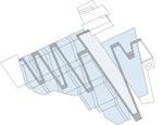
Terrains purify water and grow food N 200m 0m 100m 50m Stitching Deformation Stagger STEP-2 Filling unit STEP-0 Extraction axis STEP-1 Structural lines Planar projection STEP-3 Streams Domestic sewage pipe Collecting sewage from surrounding slums and separating rainwater and sewage for separate water purification. Pressurized pump to site elevation for decontamination Rainwater pipes Site pump Sedimentation Set up garbage collection points, separate garbage, biodegradable garbage to landfill or non-biodegradable garbage to make recycled material as structural framework of site topography Site Refuse collection point Collecting sewage Collecting Garbage
Master Plan
How To Provide Value For Dwellers?


Establishment of terrain ecology, so that rainwater and domestic sewage flowing through the soil and plants on the terrain can be effectively purified, and at the same time, the irrigation of water in the process of water purification makes plants grow better, and through the fermentation of digesters also provides a certain amount of clean energy for the use of the surrounding residents


Pump Recirculating pumping of bottom lake water Wet Pond Surface filtration Landfill Purify Ecological Purification + = Income Food Non-potable Domestic Water Community supplement Clean Energy Rainwater Site Domestic garbage Domestic sewage Slum dwellers Exchange Gas Degradable Non-degradable Recycled Material Structures Landfill Surface filtration Underflow filtration Phycological purification Field Wet Pond Digester Fertilizer Dirty Clean
Surface Filtration Vegetation


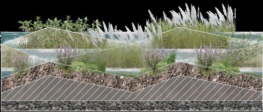

Aquatic Plants

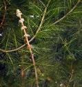
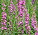
Lythrum salicaria L. Thalia dealbata Fraser


Agricultural Vegetation


Submerged Plants Myriophyllum spicatum L. Potamogeton malaianus Hydrilla verticillata (Linn. f.) Royle
Production loops
The fruit grown on the terrain to provide food for the surrounding population can also be traded for personal gain


Food And Fruit
Kidney beans Banana Papaya

Cash Crop
Wheat
Coffee Beans


Sugar Cane

Commodities
Wheat flour



Coffee

Sugar

12
Economic Crops Phragmites australis (Cav.) Trin. ex Steud. Coffea spp. Triticum aestivumL. Zizania latifolia (Griseb.) Stapf Kidney beans
CNC Model
300×300×85 mm
Surface Filtration Vegetation
The CNC model clearly shows the overall topography, replicating the topographic patterns in the cells, with gullies and slopes formed by the flow of water from higher to lower parts of the site becoming places for water purification and planting.




13 1 2 3 4 4
1 2 3
Back to the Mountain Bringing The Village Back To The Mountains
Individual work
Dongjingyu, Tianjing Province, China
Area: 0.73 ha
Date: 08/2019
People Moved Away & Village Abandoned
Urban core area from 2008-2020
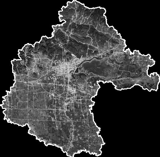



From 2005 to 2020, the urban area of Jizhou District has nearly tripled, and the number of villages has been decreasing year by year.

Urban-rural population ratio rises

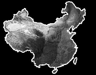
The terrain of China is high in the west and low in the east, with a three-level ladder-like distribution. The site is at the intersection of the second and third step
Yanshan Mountains
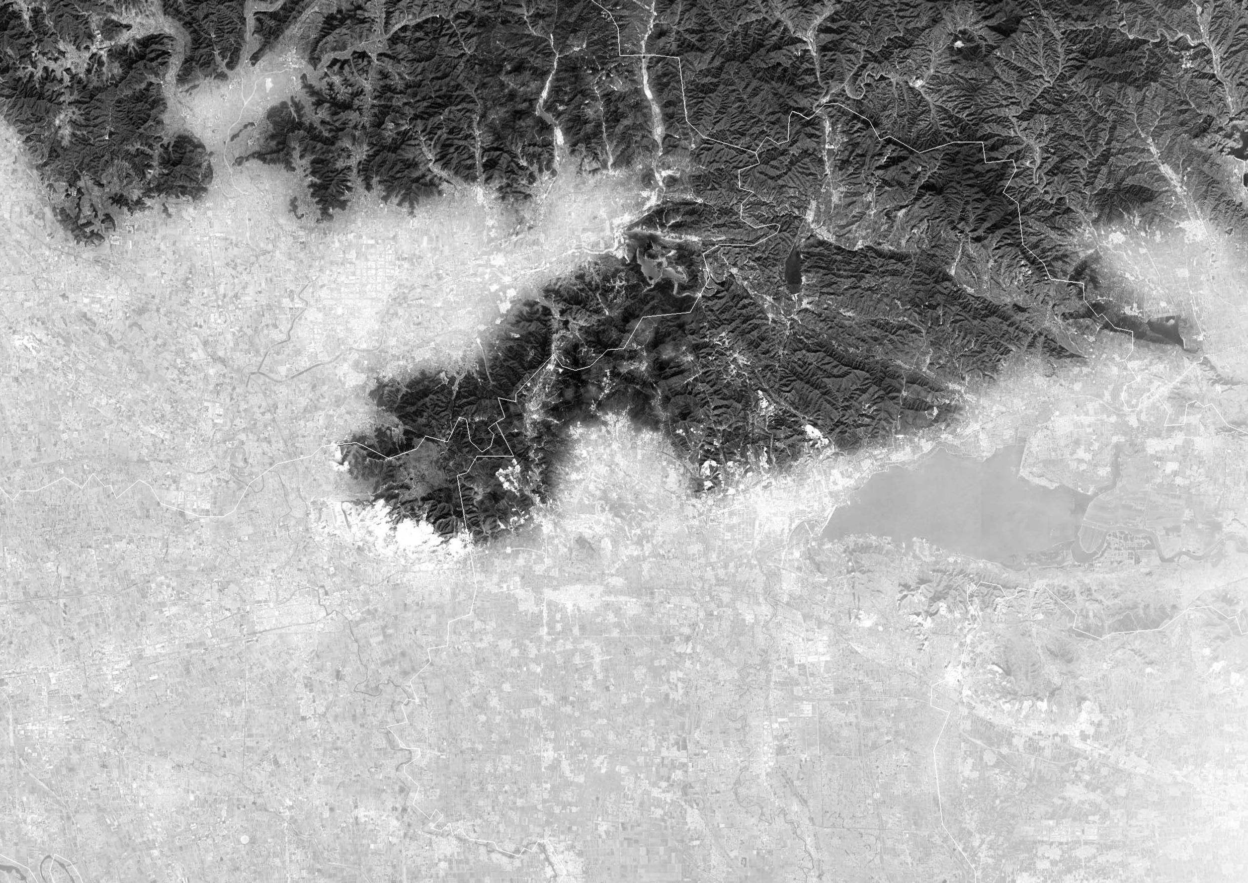 Luozhuangzi Town
Yangzhuang Village
Lujiayu Village
Guoxiangyu Village
Jizhou District Government
China Lv.1 Lv.2 Lv.3 Tianjing Province Jizhou
Rural Population Urban Population 2011 2012 2013 2014 2015 2016 2017 2018 2019 2020 2008
Dongjingyu Village Xijingyu Village
District
2014 2020
and more people are moving from villages to cities... What is the future of the village ?
More
Urban-Rural population ratio 2020 2019 2018 2017 2016 2015 2014 2013 2012 2011 4.12 4.42 4.64 4.74 4.85 4.99 5.08 5.23 5.38 5.54
03
Current Situation
Urban core area from 2008-2020
Village
The village is located in a valley in the north of Jizhou District. It has been abandoned for many years. There are traces of open pits and terraces around the village. When the village was built, the site was rammed into a flat land with a significant difference in height.
Slope landscape


Reuse of village ruins
Abandoned
Urbanization causes people to move out
Mountain
nature artificial
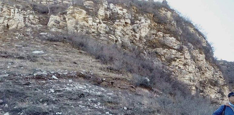
Rocks
Plants
Restore natural mountains
?
Sightseeing
Background Status quo-Legacy Strategy
Terrace field
House site


Stone Material
This village used to be a beautiful stone village, now it is deserted, but people who moved out from the village still miss it
15 Xijingyu Village Dongjingyu Village Luozhuangzi Town N 100m 500m 1km 0m 345 340 335 330 325 325 320 320 315 315 310 310 305 305 300 300 295 295 290 285 280 275 275 280 285 290 295 300 270 265
area & roads Elevation Analysis Slope Analysis 345 325 290 283 283 305 263 terrace field village Peak Attractions
Dongjinyu Vilage
" "
Preserve & Transform
People look for flat sites in the mountains as villages and shelters, and human influences have been created on the mountains since the villages were built. Retain the characteristics of the mountainous area where the village is located, and integrate it with the ruins of the village to complete the revival and reconstruction of the village ruins, reminding the past of the village and its gradual integration with the scene.







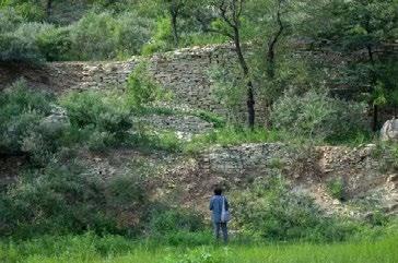
Terraced fields blocked path up to the mountain


Restore

16
Building in the mountain
Quarrying & Build a House
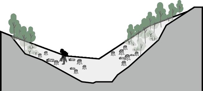
Felling/Burning trees
People build terraced fields
Building on the Hill Quarrying for building materials
Deforestation
Building Village People changed mountains Elements from mountain
the village to a natural mountain...
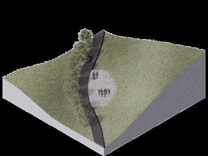
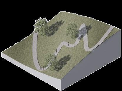
Roads are set up on the terraces, and people interact with the mountains Clean up village buildings and keep stone walls
Imitating the texture of rocks, softening the sense of building boundary
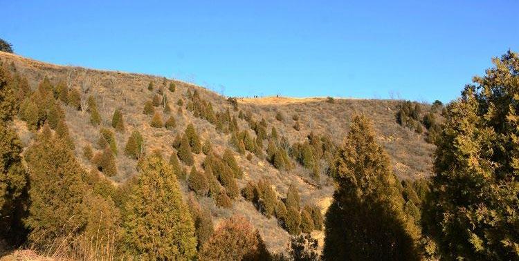
The planting of conifers and shrubs on hillsides
walking experience of climbing the mountain




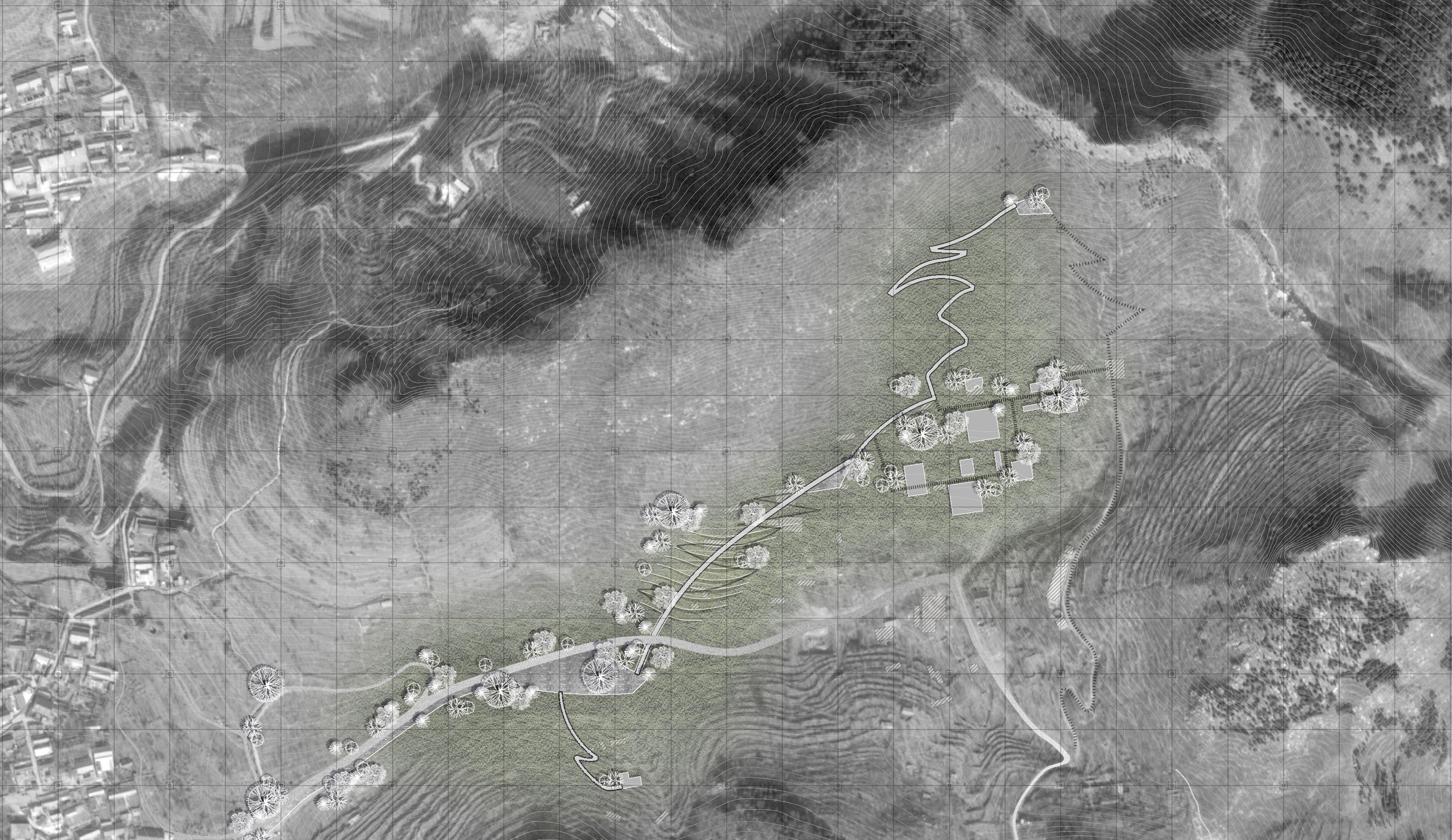
Master Plan



17 50m 0m 100m 150m 200m 250m
Mountains See the terrace fields Stone village facade Walking along road in the village Stay and rest in the village Go up hill and back to nature Looking back at village and city Village entrance platform Mountainside Lookout Cross the terraces Look back point Stone Village Ruins Geological fault retaining wall Mountain top lookout
1 2 3 4 5 6 7


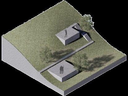
 Retain the foundation of the original farmhouse and transform it into a viewing platform, which can overlook the opposite village and terraced fields.
Original Farmhouse Abandoned Convert to a viewing platform
Passing through the small pedestrian tunnel to the terraced field site at the foot of the other side of the mountain, you can see the dry-farming terraced fields made of stones up close, and the open field of vision can directly look at the village ruins in the distance.
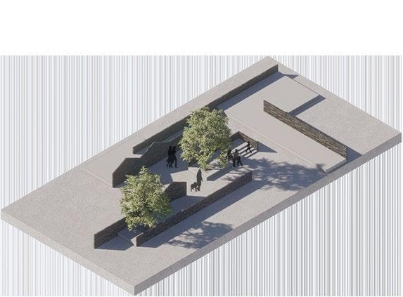
On the hillside facing the south, the village homestead is reserved and filled with gravel. When you sit down on the platform and rest, you can see the plane structure of the original house. The building backing to the mountain seems to "cut" the mountain, and the resulting cross-section mimics Structural texture of geological faults.


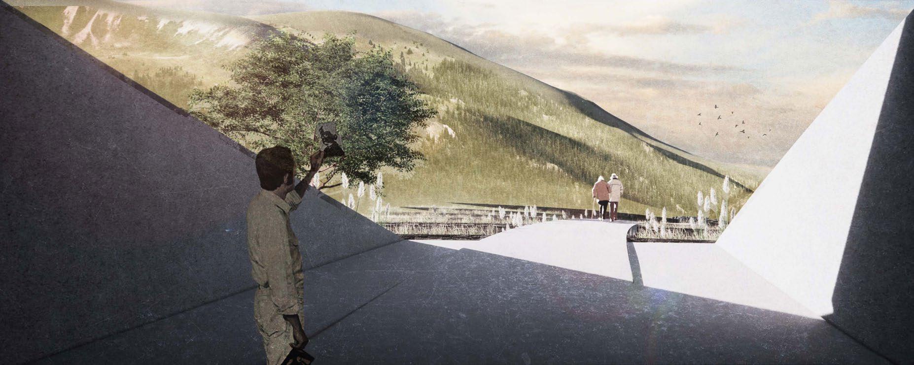
The continuous ruins of residential buildings in the village ruins have been transformed into a space for walking and strolling. People stay here to enjoy the coolness, sit and relax, and talk about the history and future of the village.

19
Original
Abandoned Convert to a structure Village Street Abandoned Retain the Wall
Farmhouse
Growth Stage

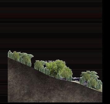
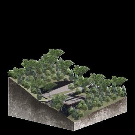
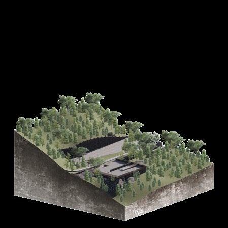
Trees gradually surround the village site over time, Restoration of mountain village ecology through orderly planting of native tree species







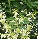


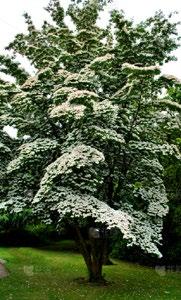
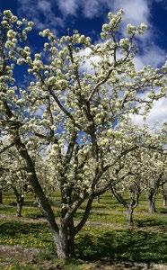


Related species


 Viewing platform Go through the tunnel Over the terraces
Village ruins
Yanshan Mountains
Uphill trail Roadway
3
10
30
After Planting
Year
Year
Year
Tamarix chinensis Lour Megaphanerophyte Pyrus spp CornusFranco Juniperus procumbens (Endlicher) Siebold ex MiquelFranco Lythrum salicaria L. Dungarunga and Shrubs Platycladus orientalis (L.) Franco Betula platyphylla Suk. Robinia pseudoacacia L. Eucommia ulmoides Oliver Styphnolobium japonicum (L.) Schott
0m 10m -10m 20m -20m 30m -30m 40m 0m 10m -10m 20m -20m 30m -30m 40m 0m 10m -10m 20m -20m 30m -30m 40m 0m 10m -10m 20m -20m 30m -30m 40m


 Luozhuangzi Town
Yangzhuang Village
Lujiayu Village
Guoxiangyu Village
Jizhou District Government


 Retain the foundation of the original farmhouse and transform it into a viewing platform, which can overlook the opposite village and terraced fields.
Original Farmhouse Abandoned Convert to a viewing platform


 Viewing platform Go through the tunnel Over the terraces
Village ruins
Yanshan Mountains
Uphill trail Roadway