FIELD ACTIVITY: METHODS AND PROCESSES
A. Flora Assessment
For plants, vegetation analysis methods can be employed to document how many species are present (species richness), how many of each kind are there (species abundance) and how does it affect diversity in general. Some of the simple methods that BioBlitzers can do are the following:
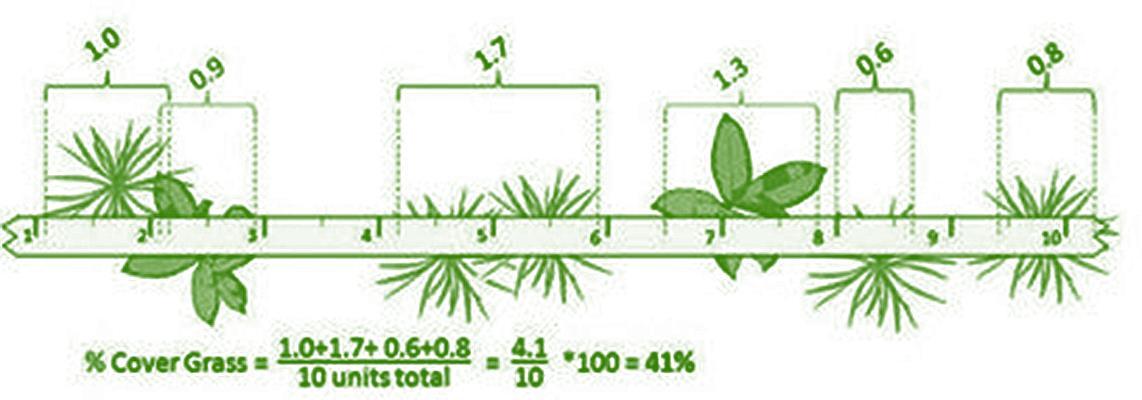
Line intercept method - this method basically uses a transect, and the researchers measure the cover of each plant along the transect.
Materials Needed
• Transect line with markings (30 meters)
• Ruler or meter stick
• Guidebooks
• Camera
Methodology
1) A transect line is laid out along the area the researcher wants to analyse, usually on undisturbed vegetation. For this activity, a 30m transect will be laid per designated segment of assessment parallel to the stream.
2) Next, identify all the plant species that touch the transect line. The line can be lowered close to the ground and raised up to the height of the tallest species.


3) Record the names of the plant species. Scientific names are preferred over common names. Photos can be taken to document the species present. Guidebooks and other references will be provided to help identify the plants while small fertile (with flowers or fruits) branches can be collected for later identification by a plant expert.
4) Measure the horizontal cover of a plant species, by means of a ruler or meter stick. Measure (in cm) length subtended by the canopy of the individuals of the species. This length represents the space accessed by the modules of individuals of the species and is the cover of the individuals of the species.
5) Record the length opposite the name of the species.
6) Repeat step 4 for all individuals of the species along the transect line. The sum of all these measurements constitutes the total intercept length of the species.
7) The transect line should be lowered closer to the ground to include short-statured species in the measurement.
8) Repeat steps 4 – 7 for all individuals of all other species along the transect line.
9) Take photos of all the species found in the transect and upload in the Wetlands BioBlitz Website (www.wetlandsbioblitz.org).
FIELD ACTIVITY: METHODS AND PROCESSES|Page 6 of 25
Thefigurebelowservesasanexample.
FIGURE 1. SAMPLING VEGETATION USING LINE INTERCEPT METHOD
Quadrat Method - this method uses a transect belt to confine a set area where the researchers must count the number of plants inside:
Materials needed:
• Transect belt
• Field Notebook
• Guidebooks
• Camera
Methodology
1) Set a perimeter with known dimensions around the sampling area (ex.10mx10m).
2) The sizes most often used are:
a. 0.01-0.25sq. m - bryophyte, lichens, and algae
b. 0.25-16 sq. m - grassland, tall herb, short shrub or aquatic macrophyte


c. 25-100 sq. m - tall shrub community 400 - 2500 sq. m – trees
3) Identify all the plant species that can be found within the area.

4) Record the names of the plant species. Like the line intercept method, scientific names are preferred over common names. Photos can be taken to document the species present. Guidebooks and other references will be provided to help you identify the plants while small fertile branches (with flowers or fruits) can be collected for later identification by a plant expert
5) Count the number of individuals of each species.
6) Take photos of all plant species found within the area and upload to the Wetlands BioBlitz Website (www.wetlandsbioblitz.org).
When conducting vegetation analysis, one must also collect some physical data of the environment to be used later to help interpret the data obtained from the vegetation analysis. Some physical parameters to be considered are light intensity, relative humidity, air and soil temperature, slope of terrain, wind velocity, and soil pH. it is also good to know the exact coordinates of the sampling site so that one can go back to the same site to conduct future studies that involve changes in
Guide to Conducting a Wetlands BioBlitz Activity
Page 7 of 25 |
A
vegetation due to a changing environment.
For these parameters to be gathered, special instruments like light meters, whirling psychrometers, thermometers, anemometers, pH meters and a Global Positioning System (GPS) device can be used.
A changing environment is not only manifested in a shift in vegetation, but on variations in abundance of different organisms. Animals are also good indicators of a changing climate because of their specific tolerance to certain environmental conditions. If the conditions change, these organisms will most likely migrate or worse, might be go extinct.
While conducting the vegetation analysis method, take note of the animals that frequent the sampling site. Make a list of these organisms in a field notebook. If the BioBlitzer is not familiar with the organism, collect some samples to compare with field guides and museum specimens later. Take note to collect only minimal samples and avoid capturing those that have eggs or young ones to tend to.
After the field work portion, species richness and abundance shall be determined, and later, the quantification of plant species diversity of the sampling site. The following datasheet is useful to organise the information to be recorded in a Line Intercept Method
TABLE 1. DATASHEET FOR THE LINE INTERCEPT METHOD
Data Sheet: Line Intercept Method
Species Intercept Length (cm) Relative Cover, pi
Total 1.0000
SpeciesRichness = Species Diversity =
Data Sheet: Quadrat Method Species Frequency Relative Frequency, pi
Total 1.0000
SpeciesRichness = Species Diversity =
Data Sheet: Physical Parameters of Environment Criteria Replicate 1 Replicate 2 Replicate 3 Mean
Light Intensity, lux
Air Temperature, ºC
Soil Temperature , ºC
Relative Humidity
Wind velocity
soil pH

GPS Coordinates
Data Sheet: Other organisms seen in sampling area
Organism observed Abundance

FIELD ACTIVITY: METHODS AND PROCESSES|Page
8 of 25
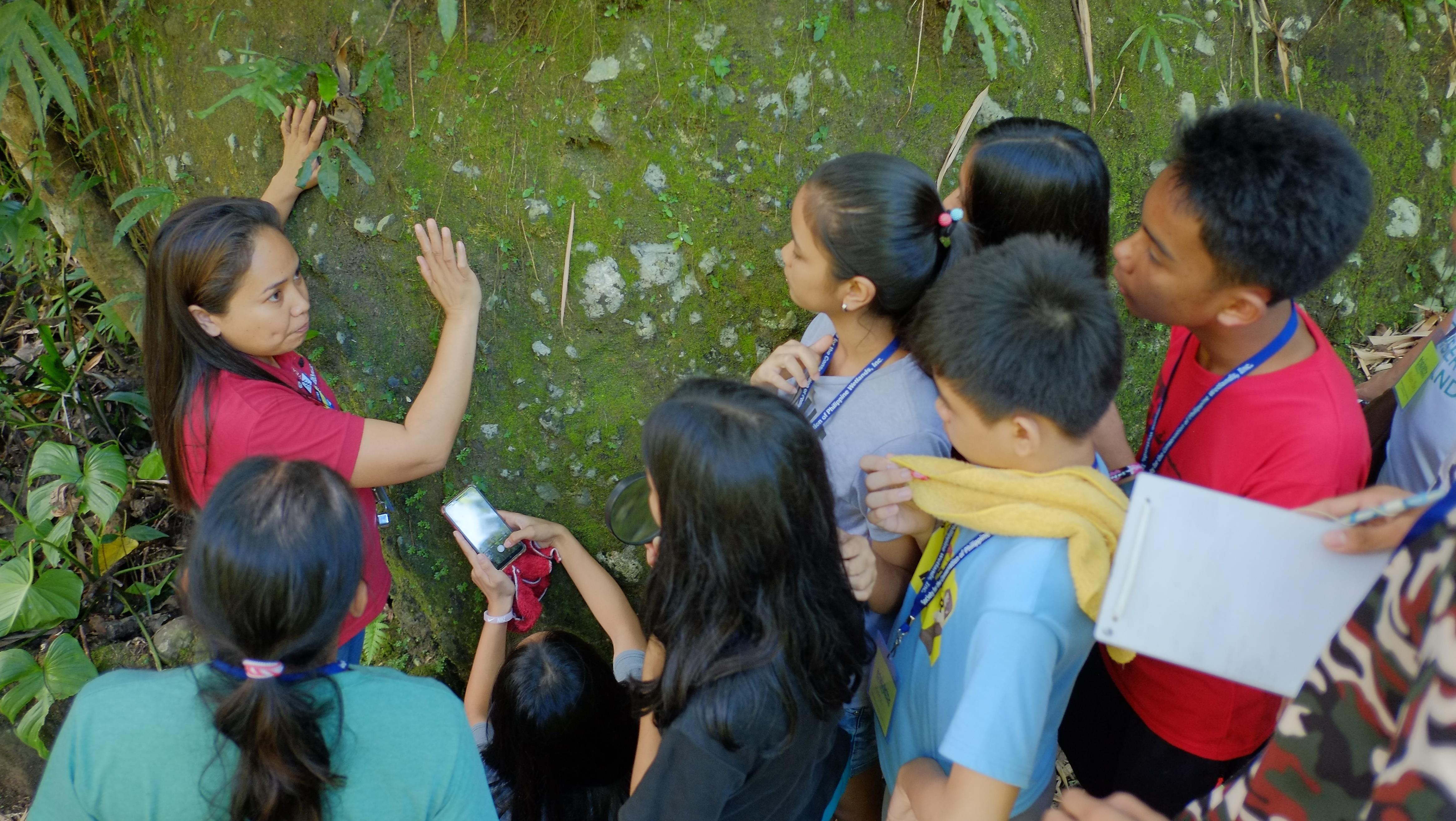 Wetlands Bioblitz at Pangil, Laguna
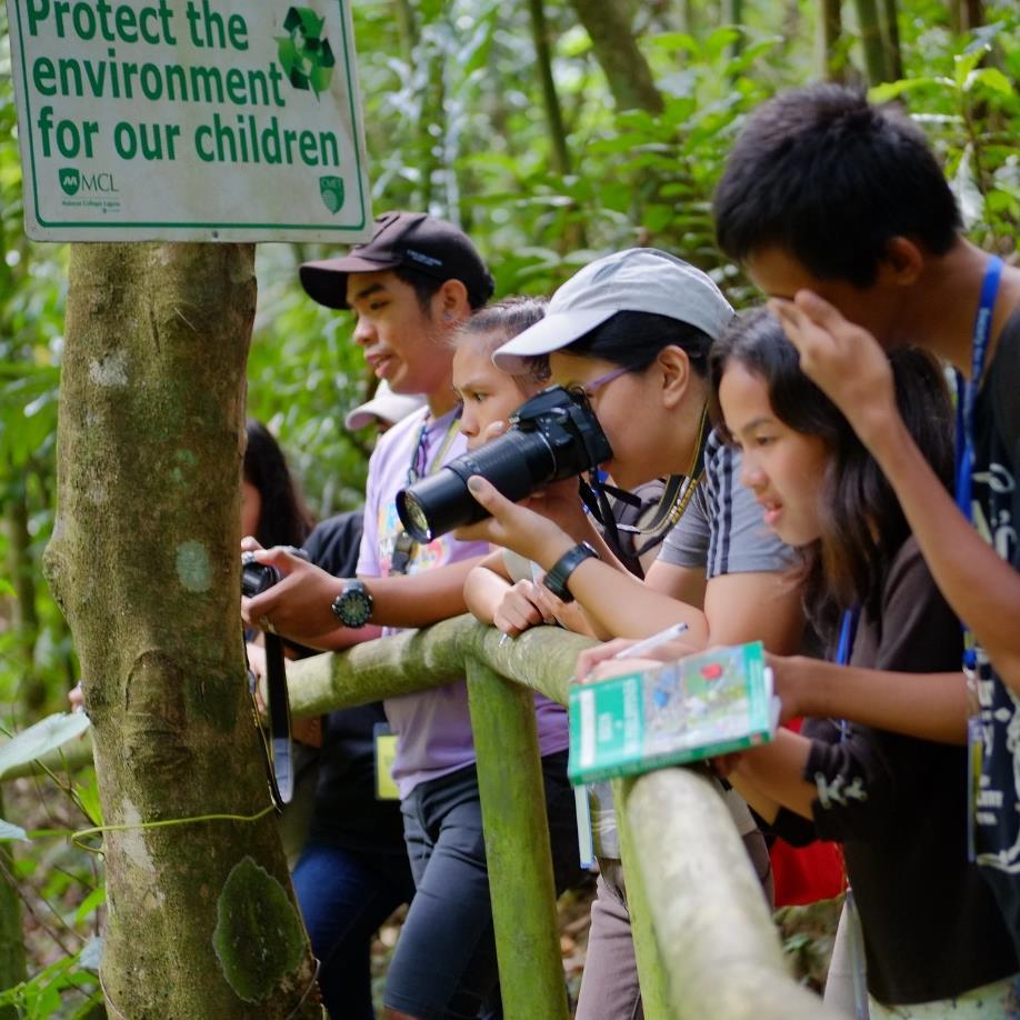
Image Copyright Carlo H. Quintos & SCPW, Inc.
B. Avifauna Assessment
Materials Needed
• Binocular
• Field Notebook
• Bird Guidebook
Methodology
1) Leveling off in terms of understanding about birds.
2) Discuss techniques on bird identification, importance of birds, and do’s and don’ts during birding activities.
3) Using the location map and contour map, lay-out transects by considering the elevation and ecosystem, of the site.
4) Record the time and weather condition of the area.
5) Transverse transect by foot within 15 minutes for every 250 meters at 30 minutes interval early in the morning or late afternoon.
6) Record all the birds sighted and hear in the field notebook.
7) Take photos of the birds and upload in the Wetlands BioBlitz Website (www.wetlandsbioblitz.org).

C. Aquatic Fauna and Flora Assessment
Materials Needed
• Improvised sampler made of mosquito net with collecting tube (Surber Sampler)
• Basin
• Dipper
• Brush (soft bristles)


• Stick (approx. 1 ft long)
• Reference
• Field Notebook
• Sieve (mesh #80), Petri dish, dissecting needle, forceps, stereo zoom microscope
Methodology
1) Position sampler securely on the stream bottom parallel to water flow with the net portion downstream; avoid disturbing the substrate upstream from the sampler and leave no gaps under the edges of the frame that would allow water to wash under the net.
2) When sampler is in place, carefully turn over and gently hand-rub all rocks and large stones inside the frame to dislodge organisms clinging to them or collect the large stones in the basin.
3) Examine each stone carefully for organisms clinging to it before discarding.
4) Collect attached organisms by scraping them from the stones inside the Surber sampler or inside the basin.
5) Stir remaining gravel and sand with the hands or a stick to dislodge bottom-dwelling organisms.
6) Hand-pick some snails, mussels, etc. that are carried into the net by the current.
FIELD ACTIVITY: METHODS AND PROCESSES|Page 10 of 25
7) Remove sample by inverting net into sample container or to the basin.
8) Examine net for small organisms and include in the sample collected.
9) Place collected sample into the basin for identification of macroscopic organisms. Filter the remaining content of the sample (sand, mud, etc.) using a sieve and place it on a petri dish. Use the stereo zoom microscope for identifications of microscopic organisms.

10) List down all organisms collected in your field notebook.


11) Take photos of the samples especially those that still need identification.
12) Upload photos to the Wetlands BioBlitz Website (www.wetlandsbioblitz.org
D. Entomofauna Survey
Materials Needed
• Pen
• Paper/Field Notebook
• Sweeping Net
• Camera
Methodology
Transect and point sampling
1) Follow a predetermined sampling path and record the presence of all organisms that are to be counted within a fixed distance (i.e., 1 m, 5 m) on either side of a specified length of travel along the transect.
2) Report the data as the number of organisms per unit of ground surface. This is calculated as length traveled along the transect times lateral distance examined (i.e., If someone traveled 100 m along a transect and counted all ladybugs within 1 m on either side of the transect they would report data as the number per 200 m2).
3) In point sample technique, fixed sample sites are established and the person making the counts moves from site to site, recording the numbers of organisms observed during a predetermined period of time (i.e., 5 min, 10 min) at each site.
4) It is important that sample sites should be chosen so that all habitat types within the study area are included.
5) These data are reported as the number of organisms per unit observation time (i.e., number of butterflies per 15 min).
6) Take photos of all species found in the sampling area and upload to the Wetlands BioBlitz Website (www.wetlandsbioblitz.org).
Page 11 of 25 | A Guide to
BioBlitz Activity
Conducting a Wetlands
Sweep net sampling1
A sweep net can be used to collect flying insects including those that inhabit foliage. Several types of nets are available, with standard sizes being either 30.5 cm (12 in) or 38 cm (15 in) diameter. Aerial nets, on the other hand, have an open mesh collection bag and are used mainly to capture flying insects, although they can be swept through light vegetation such as tall grass. Beating nets are made from canvas and are used to sweep through vegetation that could snag and tear a mesh bag. A single back and forth sweep covering a 1500 to 1800 arc is considered as a single sweep. The number of sweeps taken should be recorded so that samples can be quantified as the number of insects per sweep. Collected insects can be identified and counted l live in the net or placed in a container with a piece of paper towel soaked with non-acetone nail polish remover to kill them to facilitate counting.
E. Water Quality Assessment
Materials Needed
• HORIBA multiparameter water quality meter
• Field notebook
• Life vests
Methodology
1) Collection of water samples for physicochemical parameters will be conducted at different designated stations namely upstream, midstream, and downstream.
2) Using a multiparameter water quality meter, the following in-situ variables will be determined: dissolved oxygen, pH, temperature, conductivity, total dissolve solids (TDS), and Turbidity.
3) Three replications will be performed for each parameter.


4) Results of the physicochemical parameters of each section of the river will be compared to the classification standards set by the DENR- EMB.
F. Hydrology
Materials Needed
• Surveyor’s tape
• Meter stick or surveying rod
• Float (any small, buoyant object) or stream flow meter
• Stopwatch
• Pen and field notebook
1 Culin, J. (undated). Insects Experiments for the Classroom. Department of Entomology, Soils, and Plant Sciences. Clemson University. Retrieved from http://fermilabnaturalareas.org/assets/insect-samplingtechniques.pdf. See also Collecting Insects – Discover Life (https://www.discoverlife.org/png/collecting_insects.pdf)
FIELD ACTIVITY: METHODS AND PROCESSES|Page
12 of 25
• Rope for anchorage
• Tagging materials (masking tape, clips, etc.)
• Safety equipment
Methodology
Stream flow measurement
1. Selecting site for flow measurement
a. Select for a site to establish a fixed monitoring station throughout the monitoring period.
b. The channel section must be relatively straight (10-50 metres, depending on the purpose of the measurement) and free from obstructions (e.g. boulders, branches).
c. Look for flood marks along the riverbanks.


2. Flow measurement using the Velocity-area method
2.1 Area calculation
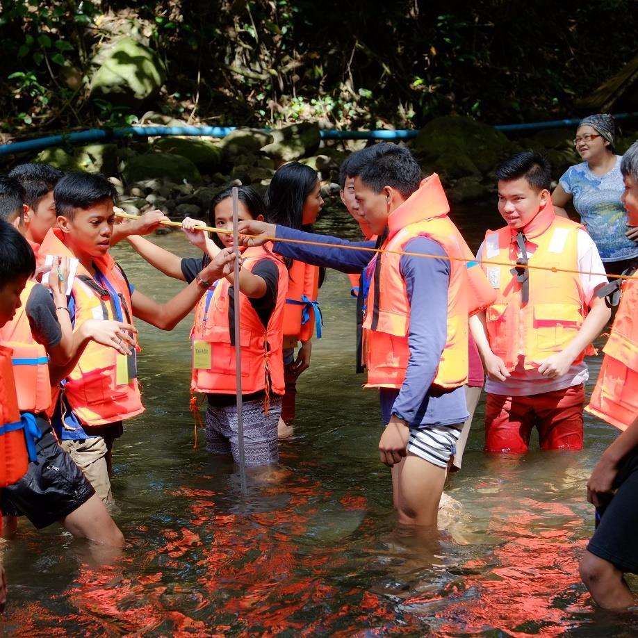
a. Tie the rope on both ends of the banks, and above the flood marks or crest of the riverbank. This will serve as the guide for measuring the cross-sectional area. Measure the width using a surveyor’s tape.
b. Divide the width into segments. The number of segments would depend on the measured width. Refer to the table below.
TABLE 2. VELOCITY-AREA METHOD, STREAM WIDTH BY SEGMENT
Width of stream (m) Number of Segments Max segment width (m) Less than 15 15 1.50 15 to 90 15 6.0 90 to 150 15 15.0 Greater than 150 25c. Dip the meter stick vertically on each of the segments. Record the measurements. d. Do the same for the exposed parts of the riverbank. Record their elevations. e. Plot the measurements in a graph. Be wary of the location of the points (above and below water line). Calculate the total area covered of the submerged part.
2.2 Velocity measurement using floats
a. Set a stream reach. Length would depend on the purpose of the measurement to be done (10-50 metres).

b. Throw the float before the starting point. Start the watch as the float passes the designated starting point.
c. Stop the watch as the float passes the end point. Record the travel time.
Page 13 of 25 | A Guide
to Conducting a Wetlands BioBlitz Activity
d. Repeat the process at least five times. Divide the stream reach with the travel time measured to calculate for the velocity.
e. Get the average velocity.
2.3 Velocity measurement using stream flow meter (water current meter)
a. Set up the stream flow meter. Make sure that parts are well-maintained (no visible damage, batteries are installed properly and fully charged, and monitor screens and moving parts are functioning properly).
b. Locate the segments and dip the impeller. Operate the ECU of the stream flow meter. Wait for the signal and read the measurement.
c. Measure the velocity on 20% and 80% of the depth of each segment. Get the average per segment.
d. Plot the average velocities measured and get the main average.
3. Discharge computation
a. Take the measurements (area and average velocity from either float or stream flow meter method). Calculate the discharge using the following equation:
Q = AV
Where:
Q = discharge (m3/s)
A = area (m2)


V = velocity (m/s)
This would give the discharge or the volume of water that passes through the cross-section of the river per given time
FIELD
ACTIVITY: METHODS AND PROCESSES|Page 14 of 25


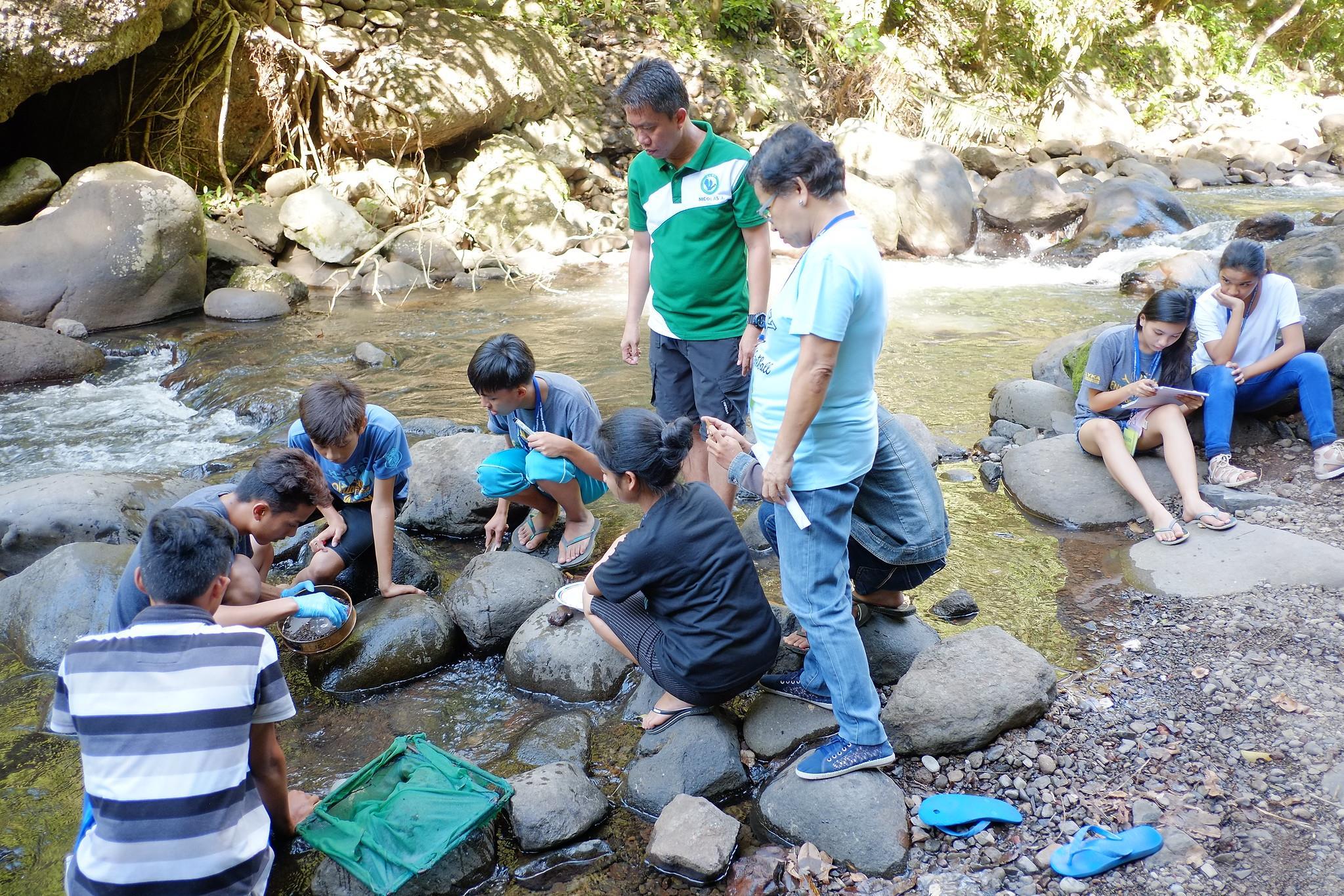 Wetlands Bioblitz at Pangil, Laguna
Image Copyright Carlo H. Quintos & SCPW, Inc.
G. Rapid Assessment of Wetland Ecosystem Services (RAWES)
Materials Needed:
• Pen
• Paper
• Voice recorder
• Questionnaire
Methodology
1) Ecosystem services should initially be identified and grouped into functional categories based on work of the Millennium Ecosystem Assessment (MA) - namely provisioning, regulating, cultural and supporting services (Figure 2). Using this globally recognized list of ecosystem services, it should be possible to adapt it into a checklist of ecosystem services relevant to the local context. Such a checklist will be constructed during the workshop.
Provisioning services
These are the materials and products that humans obtain from ecosystems
Regulating services
These are the benefits that humans receive by the ability of an ecosystem to regulate processes.
Cultural services
These are the non-material benefits that humans obtain from ecosystems.
Supporting services
These are the ecosystem processes and functions that maintain the wetland’s characteristics and that are necessary for the production of all other services.


FIGURE 2. ECOSYSTEM SERVICES
2) The assessment of wetland ecosystem services is based on field assessors considering a range of questions and potential outcomes to recognize services and their potential benefits. During the Wetlands BioBlitz, field assessments will be undertaken. The participants should use both their own knowledge of the local wetlands as well as conduct consultation or survey and interviews with local stakeholders and residents.
3) Working in a group, each ecosystem service should be assessed using the following relative scale:

Score Assessment of ecosystem service
++
Significant positive benefit provided
+ Positive benefit
0 Negligible benefit or dis-benefit - Negative benefit
Significant negative benefit provided
? Gaps in evidence
All these scores are subjective, and it is accepted that there is scope for subjectivity in assigning relative scores. The objective of this method is to provide an illustrative ‘snapshot’ of the range of services generated by each wetland surveyed. During the field assessment, use the standardized recording sheet (Table 3) and the sample guide questions () provided in this manual.
FIELD ACTIVITY: METHODS AND PROCESSES|Page 16 of 25
TABLE 3. RAWES FIELD ASSESSMENT SHEET
RAPID ASSESSMENT OF WETLAND ECOSYSTEM SERVICES FIELD ASSESSMENT SHEET

Key How important?
Wetland name: [Pangil River]

+ + Potential significant positive benefit GPS coordinates [Pangil, Laguna 14°24’11”N and 121°27’58”E]
+ Potential positive benefit
0 Negligible benefit Date: [September 24-26, 2019] - Potential negative benefit - -
Potential significant negative benefit Assessors: [RAWES Group in Wetlands BioBlitz Event]


? Gaps in evidence
Provisioning services Services
Fresh water Food Fuel Fibre
Genetic resources
Natural medicines or pharmaceuticals
Ornamental resources Clay, mineral, aggregate harvesting
Waste disposal
Energy harvesting from natural air and water flows
How important? Describe benefit
Scale of benefit
Local Regional Global
Regulatory Services
Air quality regulation
Local climate regulation
Global climate regulation
Water regulation
Flood hazard regulation
Storm hazard regulation
Pest regulation
Page 17 of 25 | A Guide
Activity
to Conducting a Wetlands BioBlitz
Cultural Services Supporting Services
Disease regulationhuman
Disease regulationlivestock Erosion regulation
Water purification Pollination Salinity regulation
Fire regulation
Noise and visual buffering


Cultural heritage Recreation and tourism Aesthetic value
Spiritual and religious value Inspiration value Social relations Educational and research Soil formation
Primary production Nutrient cycling Water recycling
Provision of habitat
FIELD ACTIVITY: METHODS AND PROCESSES|Page 18 of 25
Provisioning services
Ecosystem service Example
Provision of fresh water Water used for domestic drinking supply, for irrigation, for livestock, etc.
Provision of food Crops, fruit, fish, etc.
Provision of fibre Timber for building, wool for clothing, etc.
Provision of fuel Fuelwood, peat, etc.
Provision of genetic resources Rare breeds used for crop/stock breeding, etc.
Provision of natural medicines and pharmaceuticals
Plants used as traditional medicines, etc.
Provision of ornamental resources Collection of shells, flowers, etc.
Clay, mineral, aggregate harvesting Sand and gravel extracted for building use, clay extracted for brickmaking, etc.
Waste disposal Dumping of solid waste, discharge of waste water, etc.
Energy harvesting from natural air and water flows
Regulating services
Water wheels driven by flowing water, windmills driven by the wind, etc.
Ecosystem service Example
Pollination Pollination of plants and crops by pollinators such as bees, butterflies, wasps, etc.
Salinity regulation Freshwater in the wetland provides a barrier to saline waters.
Fire regulation Providing physical barriers to the spread of fire, maintaining wet conditions to prevent fires spreading, etc.
Noise and visual buffering Wetland trees or tall reeds absorbing and buffering the impact of noise.


What questions could assessors ask about this service?
• Does the wetland provide a source of fresh water?
• Does the wetland store fresh water for human use?
• Is the wetland a net source of pollution, degrading fresh water provision?
• What is grown in the wetland, either formally or from informal harvesting?
• Are animals are harvested from the wetland?
• Are livestock using the wetland?
• Are any natural materials such as wood, fibre, straw, animal fibre (wool/hide/sinew/antler/other) taken from the wetland?
• Is any material taken from the wetland and used as fuel for domestic or other uses?
• Are any native or rare strains of plants and animals, wild and domesticated, which could contribute genetic diversity for human uses (for instance for drug manufacture, improving resilience of domestic animals and plants, horticultural trade, etc.)
• Are there any plants, animals or their parts derived from the wetland which are harvested and used for their medicinal properties?
• Are there any plants, animals or their parts are derived from wetland that are collected and used/sold for their ornamental properties?
• What substances are extracted or dug up from the wetland for construction or other human uses?
• Does the wetland provide a location for the disposal of liquid, solid or other waste materials?
• Are any technologies (water wheels, wind turbines, etc.) used to capture natural flows of energy through or across the wetland?
What questions could assessors ask about this service?
• Do populations of pollinating organisms (butterflies, wasps, bees, bats, etc.) in the wetland contribute to pollination within the wetland?
• Do pollinators using the wetland also help to pollinate nearby crops, gardens, allotments, etc.?
• Does the hydrology of the wetland help prevent saline water contaminating freshwaters?
• Doe the presence of freshwater in the wetland prevent the salinisation of soils?
• Does the configuration of waterbodies (ditches, streams, etc.) help to prevent the spread of fires?
• Is there water at or near the soil surface that restricts the spread of fire?
• Are organic rich or peat soils drained and susceptible to fire and burning?
• Is there a source (busy road, industry, construction, etc.) and receptor (houses, wildlife, etc.) for noise pollution?
• Does wetland ecosystem structure, particularly tall trees and reeds, provide visual screening as well as suppress noise transmission?
Page 19 of 25 | A Guide to Conducting a Wetlands BioBlitz Activity
Regulating services
Ecosystem service Example
Air quality regulation Removal of airborne particles from the exhaust of cars, chimneys of industry, dust from agricultural land, etc.
Local climate regulation Regulation of the local microclimate, through shading, reducing air temperature, etc.
Global climate regulation
Regulation of the global climate through control in greenhouse gas emissions, the sequestration of carbon, etc.
Water regulation Regulation of flows of surface water during high and low flows, regulation of recharge of groundwater, etc.
Flood hazard regulation Regulation and storage of flood water, regulation of intense rainfall events, etc.
Storm hazard regulation Regulation of tidal or storm surges, regulation of extreme winds, etc.
Pest regulation Control of pest species such as mosquitoes, rats, flies, etc.
Regulation of human diseases Presence of species that control the species (vectors) that transmit human diseases such as malaria, West Nile fever, dengue fever, Zika virus, leptospirosis, schistosomiasis, etc.
Regulation of diseases affecting livestock Presence of species that control the species (vectors) that transmit diseases to livestock such as leptospirosis, schistosomiasis, duck virus enteritis, highly pathogenic avian influenza, tickborne diseases, etc.
Erosion regulation Regulation of energy environment to reduce risk of erosion, presence of dense vegetation protecting soils, etc.
Water purification Cleaning of water, improvement of water quality, deposition of silts, trapping of contaminants and pollutants, etc.
What questions could assessors ask about this service?
• Is there a source for airborne pollutants?
• Does the wetland habitat structure help to settle out airborne pollutants?
• Does the state of the wetland make it a source of air pollutants (microbial, particulate or chemical)?
• Does the wetland habitat structure provide shade for humans?
• Does the wetland have areas of standing water with or without vegetation that will be generating evapotranspiration and consequently reducing air temperatures?
• Does the wetland store and/or sequester carbon?


• Does this balance with generation of methane and other greenhouse gases?
• Do the topography, permeability and roughness of the wetland enable it to store water during high rainfall/discharge and top slowly release it back to surface waters or to groundwater?
• Does the wetland regulate discharges during dry periods to buffer low flows during dry weather?
• Does the wetland regulate, store and retain floodwaters?
• Does the wetland store rainfall and surface water that might contribute to flooding and damage to property or ecosystems downstream?
• Does the complexity of habitat, particularly trees, tall reeds and other vegetation and surface topography, absorb energy from extreme events such as storms and waves that might otherwise damage property or adjacent ecosystems?
• Do natural predation and other ecological processes in the wetland regulate and control pest organisms?
• Is the wetland a source of pests (for example rats thriving in dirty water systems)?
• Do natural predation and other ecological processes in the wetland regulate organisms that may cause human diseases?
• Are faecal deposits, bacteria or other potentially pathogenic microbes immobilised by processes in the wetland?
• Is the condition of the wetland contributing to the negative spread of populations of disease vectors (such as mosquitoes)?
• Do natural predation and other ecological processes in the wetland regulate organisms that may cause diseases in livestock?
• Are faecal deposits, bacteria or other potentially pathogenic microbes immobilised by processes in the wetland?
• Is the condition of the wetland contributing to the negative spread of populations of disease vectors (such as mosquitoes or snails)?
• Does the wetland vegetation provide protection from erosion for the soils?
• Are there any signs of erosion, such as bare earth, in the wetland?
• Do physico-chemical (sunlight exposure in shallow waters, detention of water in aerobic and anaerobic microhabitats) and biological processes in the wetland result in the breakdown of organic, microbial and other pollutants in the water passing though?
• Is there a noticeable change in the quality, such as the turbidity, of water entering and leaving the wetland?
FIELD ACTIVITY: METHODS AND PROCESSES|Page 20 of 25
Ecosystem service Example
Cultural heritage
Cultural services
Importance of the wetland for historical or archaeological value, as an example of traditional uses or management practices, as a cultural landscape, etc.
Recreation and tourism Importance of the wetland for providing a location for recreation such as fishing, watersports or swimming, or as a tourism destination, etc.
Aesthetic value
Spiritual and religious value
The wetland is overlooked by properties, is part of an of known area of natural beauty, is used as a subject for painters and artists, etc.
The wetland holds plays a role in local religious festivals, the wetland is considered as a sacred site, the wetland forms part of a traditional belief system, etc.
What questions could assessors ask about this service?
• Does the wetland system have cultural importance, either due to its natural character or traditional uses?
• Is the wetland used for organised or informal recreational purposes?
• Are their wider tourism/ecotourism benefits flowing from these uses?
• Does the wetland provide aesthetic benefits through the desirability of siting houses of commercial development adjacent to it?
• Does the presence of a wetland have a significant impact on property prices?
• Is the wetland depicted in may works of art?
• What spiritual and/or religious values do people derive from the wetland?
• Does the wetland hold any important spiritual or cultural value to people?
• Does the wetland play any part in traditional religious ceremonies?
• Are there any traditional wetland management practices (such as the timing of planting and cropping of rice to Buddhist or other traditions and teachings) associated with the wetland?
Inspirational value
Presence of local myths or stories relating to the wetland, traditional oral or written histories about the wetland or wetland animals, creation of different art forms associated with the wetland, development of distinct architecture based on the wetland, etc.
Social relations Presence of fishing, grazing or cropping communities which have developed within and around the wetland.
Educational and research Use of the wetland by local school children for education, site of long-term research and monitoring, site visited by educational tours

• Are there any particular myths or other folklore associated with the wetland?
• Do any wetland animals appear or are featured in local stories and myths?
• Does the wetland inspire people to create music or other forms of art?


• Have particularly ways of designing and building developed which reflect the wetland?
• Have communities formed around the wetland and its uses, including for example fishing (subsistence, commercial and recreational), cropping or stock management, walking and jogging, birdwatching and photography, etc?
• Is the wetland used for any educational purposes, organised or informal, ranging from school-level visits to university research and teaching?
Ecosystem service Example
Soil formation Deposition of sediment, accumulation of organic matter, etc.
Primary production Presence of primary producers such as plants, algae, etc.
Nutrient cycling Source of nutrients present from inputs from agricultural land, internal cycling of plant material, inputs of nutrients from floodwaters, presence of fauna to recycling nutrients, etc.
What questions could assessors ask about this service? Supporting services
Water recycling Presence of wetland vegetation and open water result in evapotranspiration and local recycling of water, relatively closed canopies and low exposure to winds retains water in local cycles, sandy or coarse substrates allow exchange with groundwaters, etc.
Provision of habitat Presence of locally important habitats and species, presence of species and habitats of conservation concern, etc.
• Do accretion processes (both sedimentation of mineral material and the build up of organic material) on the wetland result in the formation of soils?
• Do photosynthetic processes on the wetland produce organic matter and store energy in biochemical form?
• Do wetland processes biochemically transform nutrients (for example nitrification/denitrification)?
• Are nutrients settled out in particulate forms, changing the characteristics of water passing through the system?
• Are there abundant invertebrates and detritivores that are decomposing and cycling organic material?
• Does the structure of the wetland retain water in tight cycles (for example recapture of vapour produced by evapotranspiration)?
• Does the wetland enable exchanges with groundwater (either discharge or recharge)?
• Does the wetland support a diversity of locally representative biodiversity (plants and animals)?
• Does the wetland support species which humans consider of conservation concern or as charismatic interests?
Page 21 of 25 | A Guide to Conducting a Wetlands BioBlitz Activity
A. Data Processing


After the field work you can now process your data. Begin by organising your photographs and notes. Keep your best photographs and put structure to your notes. You will be given your access credentials to the WeBB Online at www.wetlandsbioblitz.org.
B. Encoding your data
You may encode your data using the WeBB Online by following the instructions laid out step by step found in the WeBB Online Manual V0.5 (See Annex B). It is important that you email post@wetlands.ph that you have registered for access credentials to the WeBB since all access credentials are manually approved. This is to ensure that all users have undergone proper training during a SCPW Wetlands Ecological BioBlitz event.
C. References and Support
If you have any questions, please ask your WeBB Facilitator or you may also contact Kuya Caloy (Mr Carlo H. Quintos) at the SCPW Office at +63(2) 86372409 or by email at post@wetlands.ph.
POST-FIELDWORK ACTIVITY|Page 22 of
POST-FIELDWORK ACTIVITY


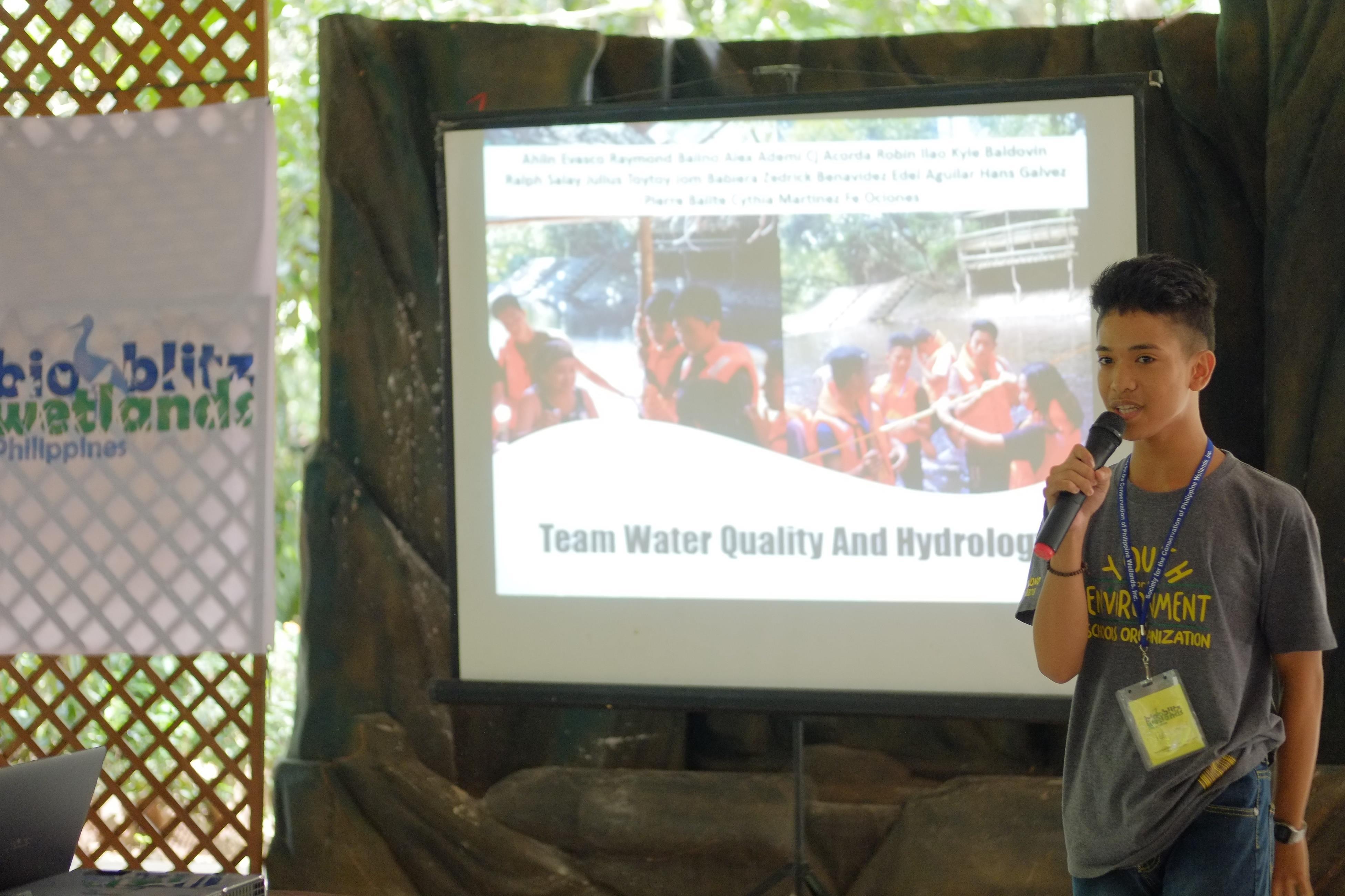

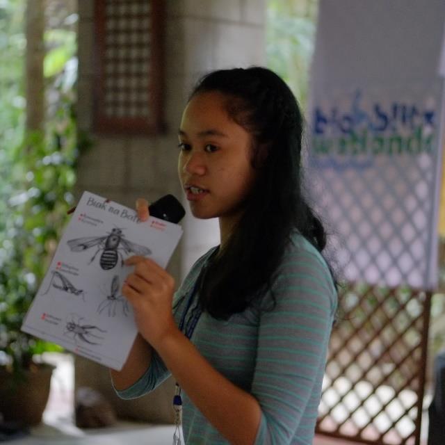
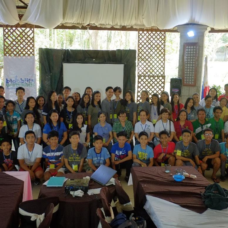
 Wetlands Bioblitz at Pangil, Laguna
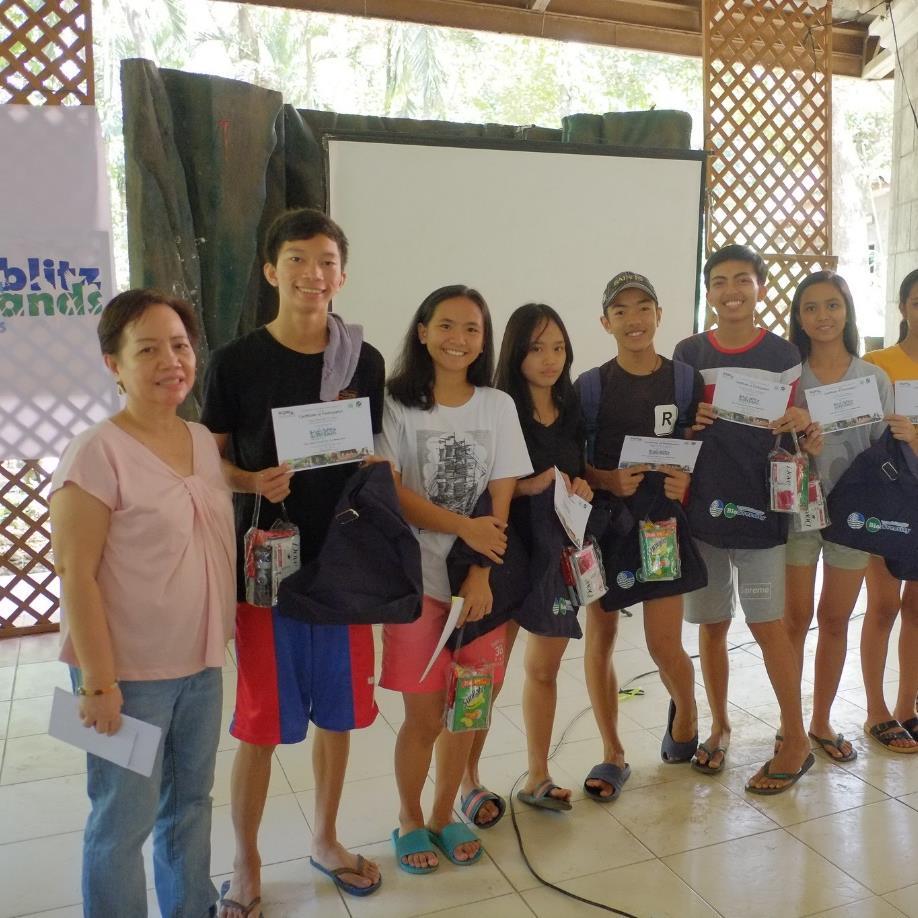
Image Copyright Carlo H. Quintos & SCPW, Inc.
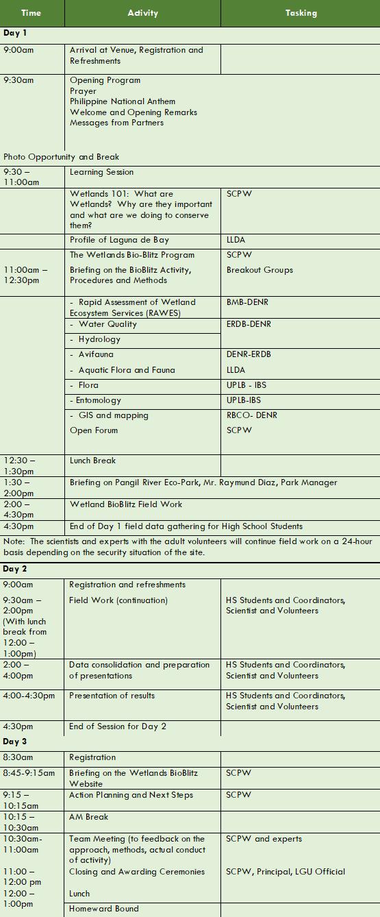
Typical Program of the Wetlands BioBlitz Activity


POST-FIELDWORK ACTIVITY|Page 24 of 25
Annex A
SCPW WeBB Online Instructions
Please refer to instructions found at the following link: https://www.wetlands.ph/knowledge-resources/ Look for the section “SCPW Wetlands Ecological BioBlitz” . p

Source links to open source graphics used in the manual
http://pngimg.com/download/1160
http://www.vecteezy.com/insects-bugs/48526-ladybug-vector

https://openclipart.org/detail/7020/seaweed


http://pngimg.com/download/10856

Annex B
▪
▪
▪
▪








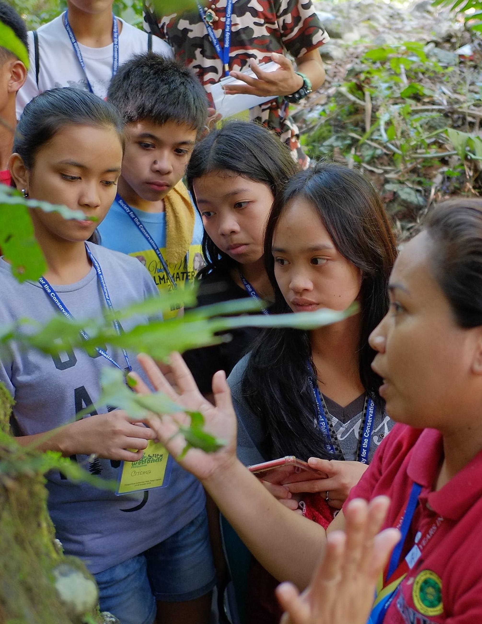 Wetlands Bioblitz at Pangil, Laguna
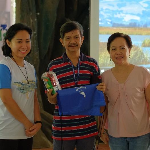
Image Copyright Carlo H. Quintos & SCPW, Inc.


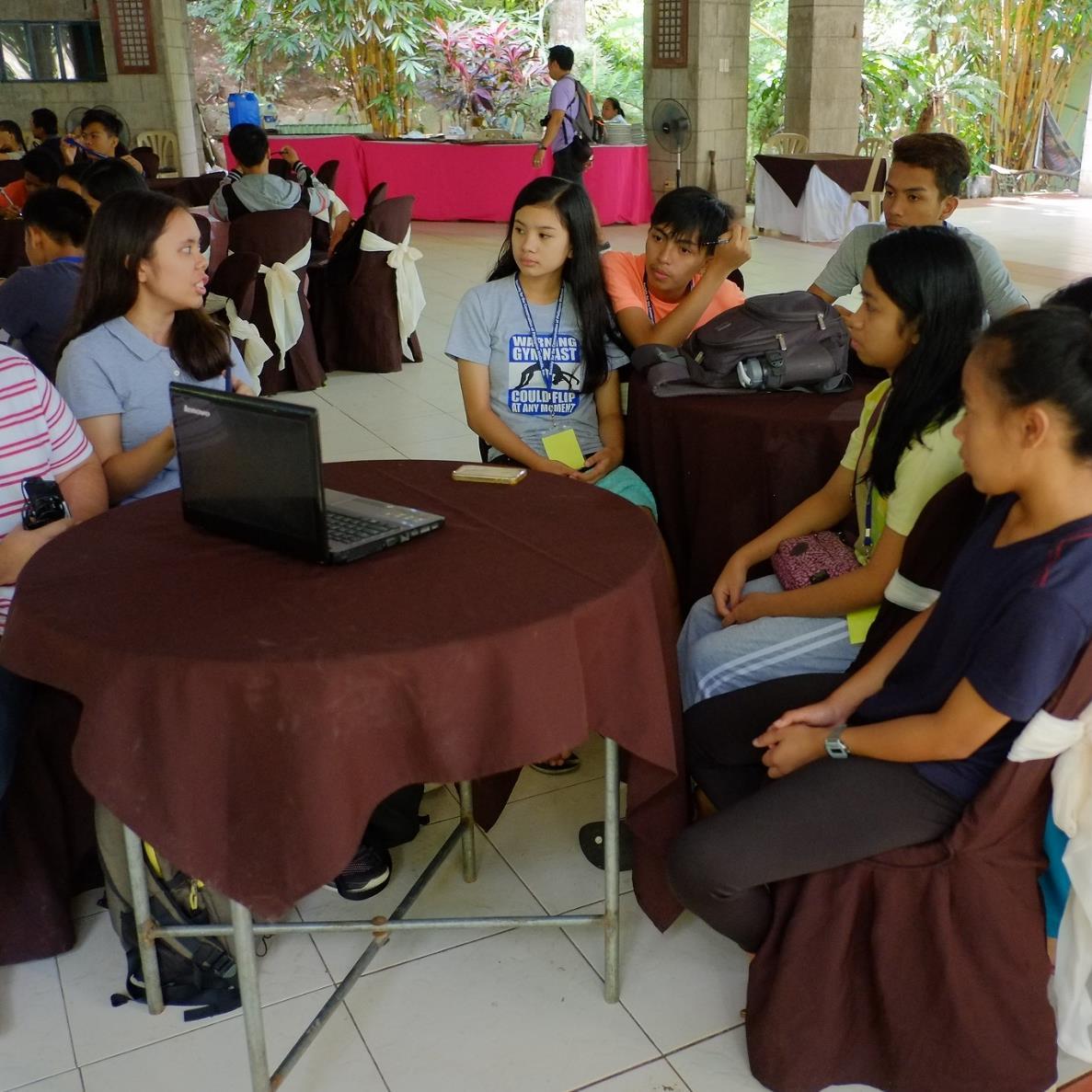

 Wetlands Bioblitz at Pangil, Laguna
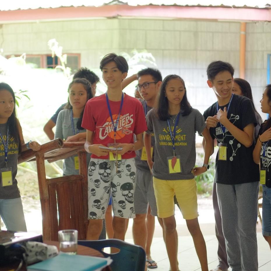
Image Copyright Carlo H. Quintos & SCPW, Inc.


 Wetlands Bioblitz at Pangil, Laguna
Image Copyright Carlo H. Quintos & SCPW, Inc.


