AI for Restoration and Invasive Species Control

Tim Boesch, AICP, PMP
Mary Barnwell, MNR CERP ISA Arborist
Florida Planning Conference, Tampa September 2024
Brendan Brown, PWS


Tim Boesch, AICP, PMP
Mary Barnwell, MNR CERP ISA Arborist
Florida Planning Conference, Tampa September 2024
Brendan Brown, PWS
Associate, Senior Project Manager

Mary Barnwell, MNR
Arborist
Environmental Lands Management Coordinator, Hillsborough County
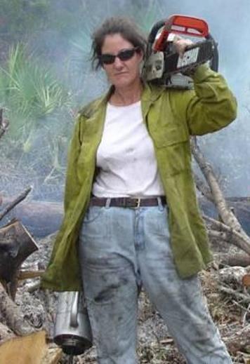
▬ AS Biology, BS Marine Science, MS
Natural Resources
▬ Holds 19 Licenses / Certificates
▬ Environmental and Land Management in Hillsborough and Pinellas County
▬ 30 years of experience

Principal, Environmental Scientist, CDM Smith
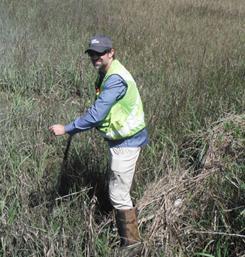

▬ BS Forestry, MS Biology
▬ Professional Wetland Scientist (PWS) ▬ FAA Certified Drone Pilot ▬ Natural Resources Assessment ▬ Wetlands Delineation ▬ Habitat Restoration ▬ Threatened and Endangered Species ▬ NEPA, HUD, USACE ▬ Work throughout Florida and VA, NC, SC, GA, MS, AR, IA, TX

listen. think. deliver.


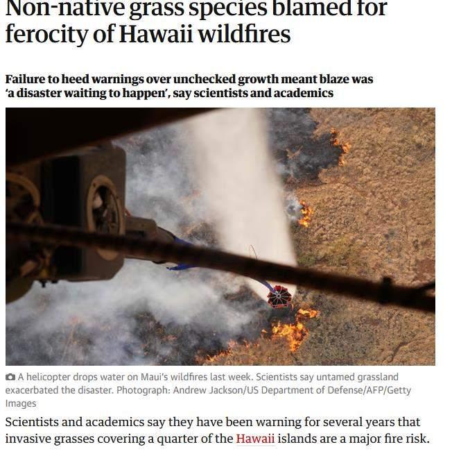
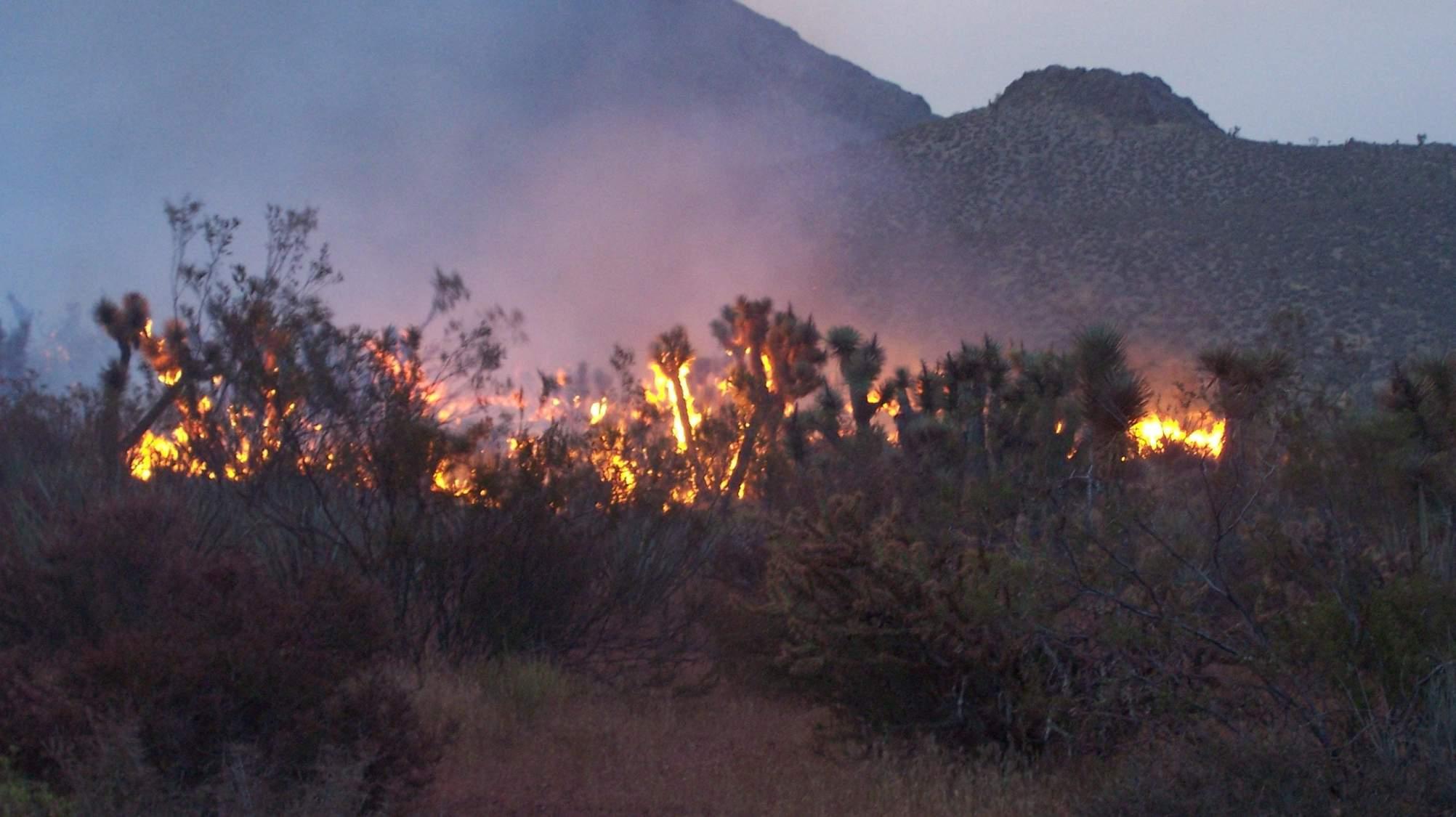
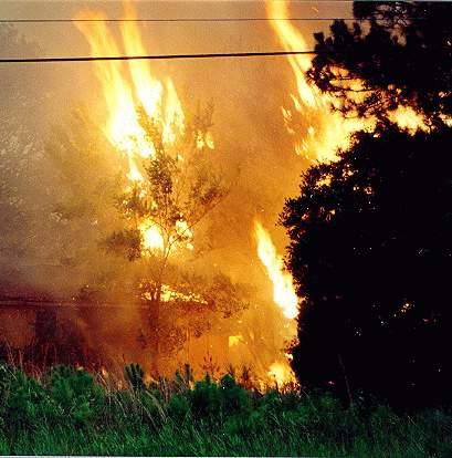
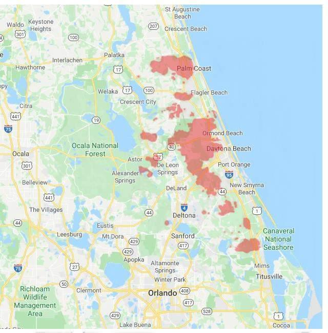
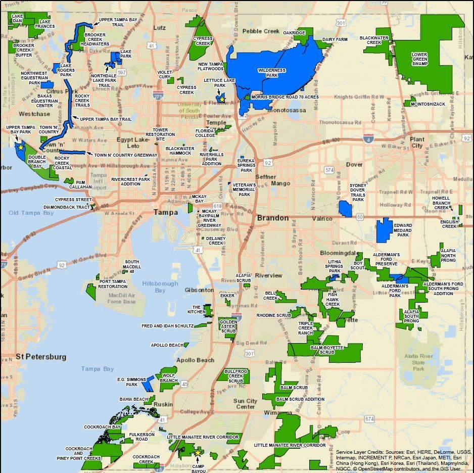
• There are 82,339 acres of Environmental & Conservation Lands in Hillsborough County
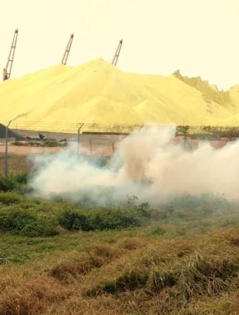
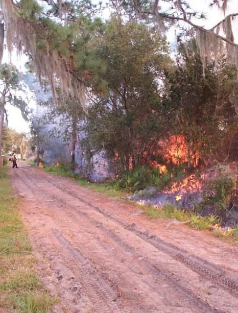

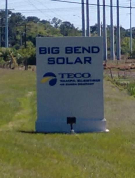
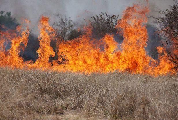
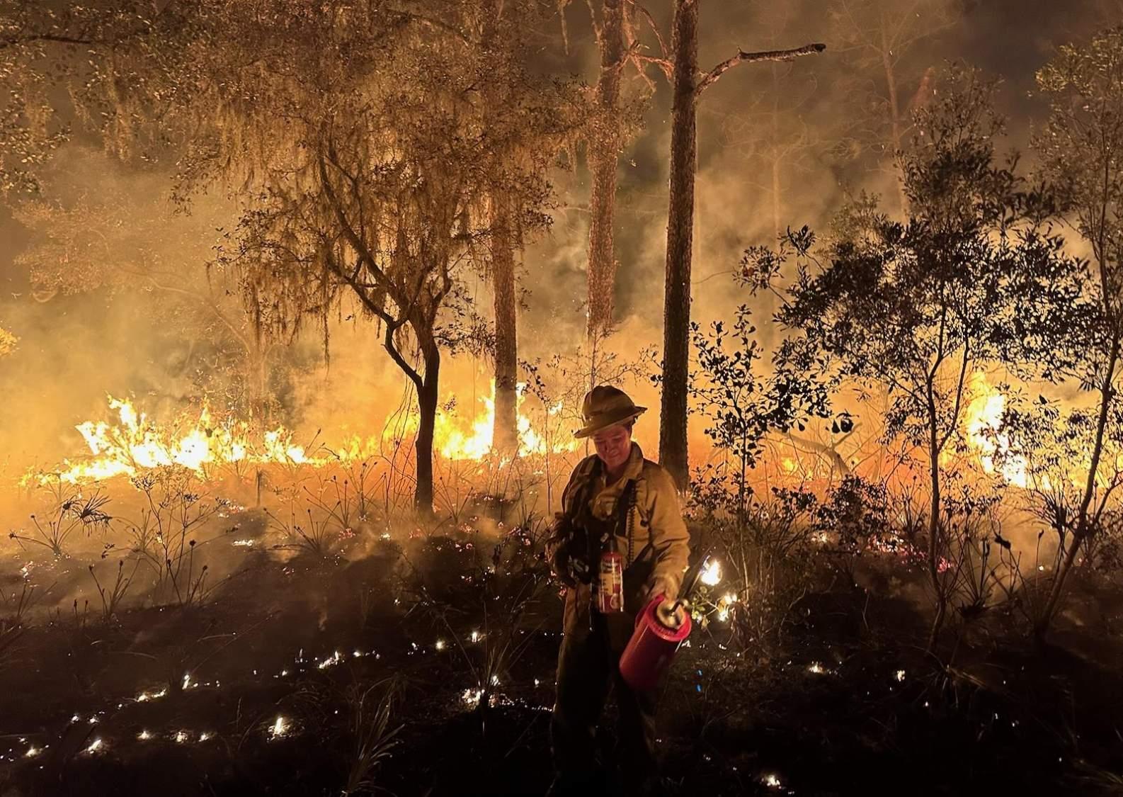
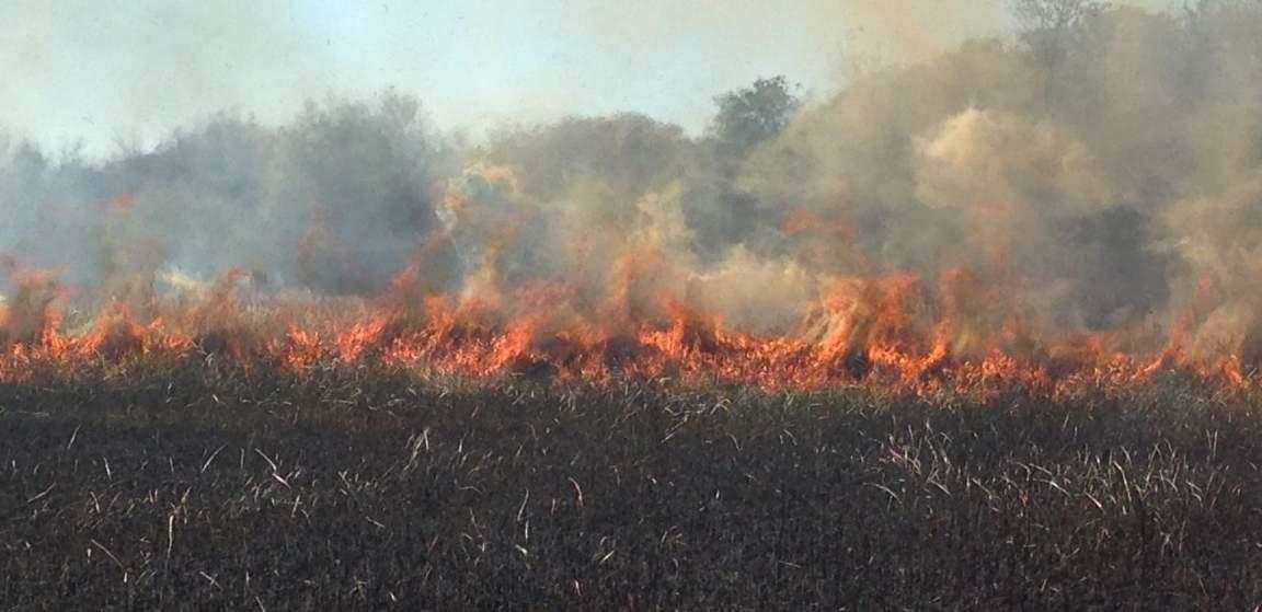
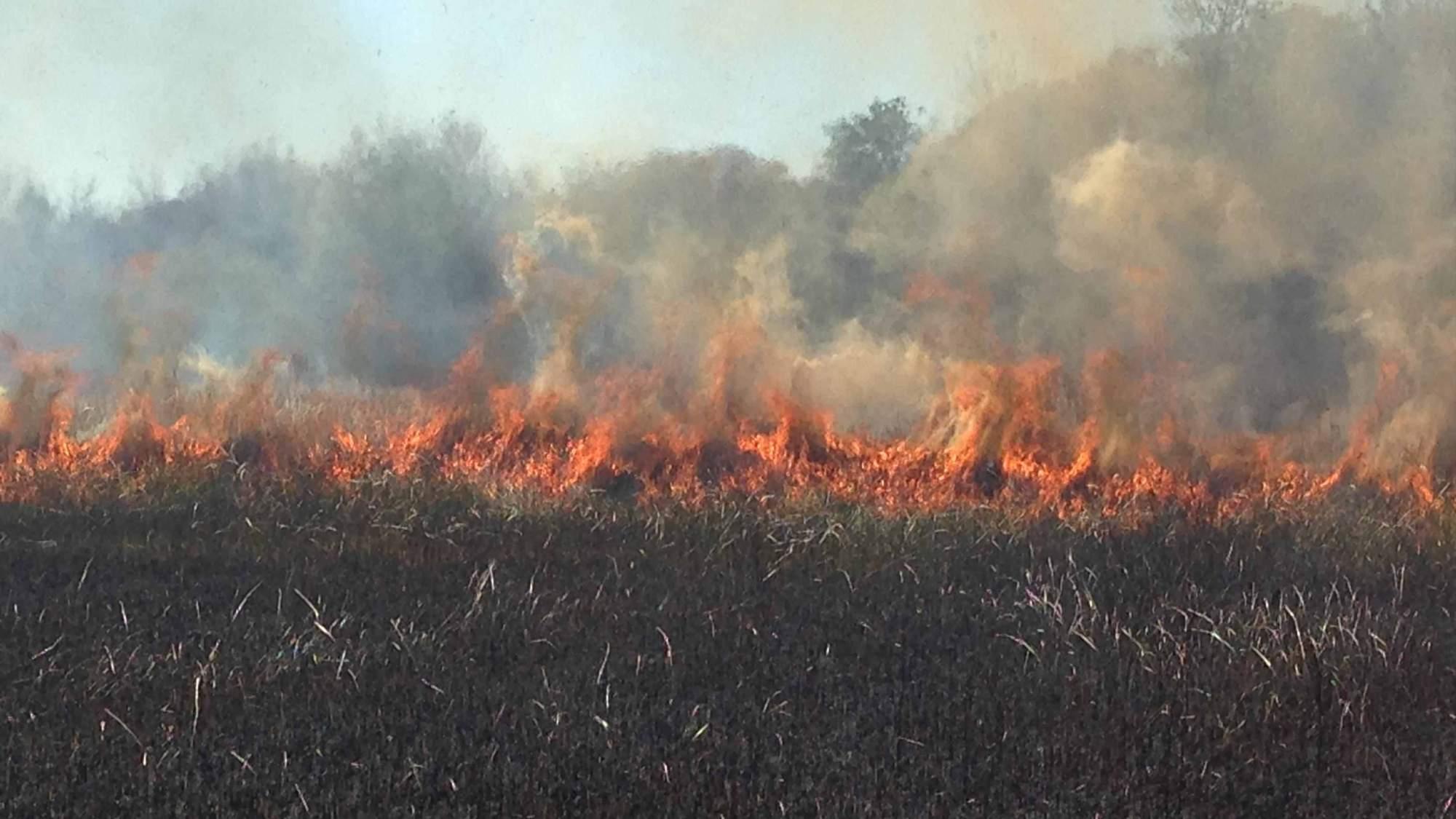
• Prescribed burns to stimulate native ecosystems and reduce wildfire risks.
• Invasive species control (plant and animal)
• Habitat rehabilitation & restoration
• Species Management
• Coordinate preservation, public access, education, and volunteer activities.
• Development Review for land adjacent to preserves
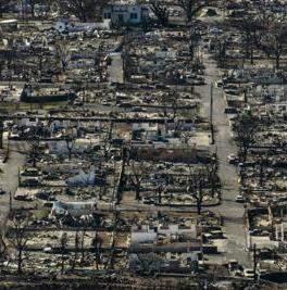
Fire is Natural and Unavoidable in the Florida Landscape
Lush & Rapid Growth of Vegetation,
Highly flamable plants
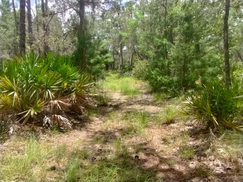
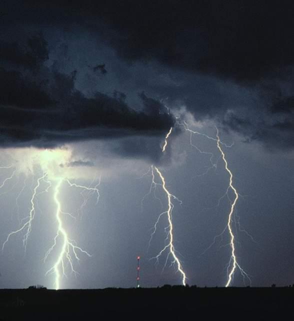
Frequent Lightning
Prescribed Fire Statistics
From 01/2013 to 08/28/2024
- 08/28/2024
1,024,013 Authorized Fires
Totaling 27,330,198 acres
Average Year in Florida
120,000 authorizations over 2 million acres
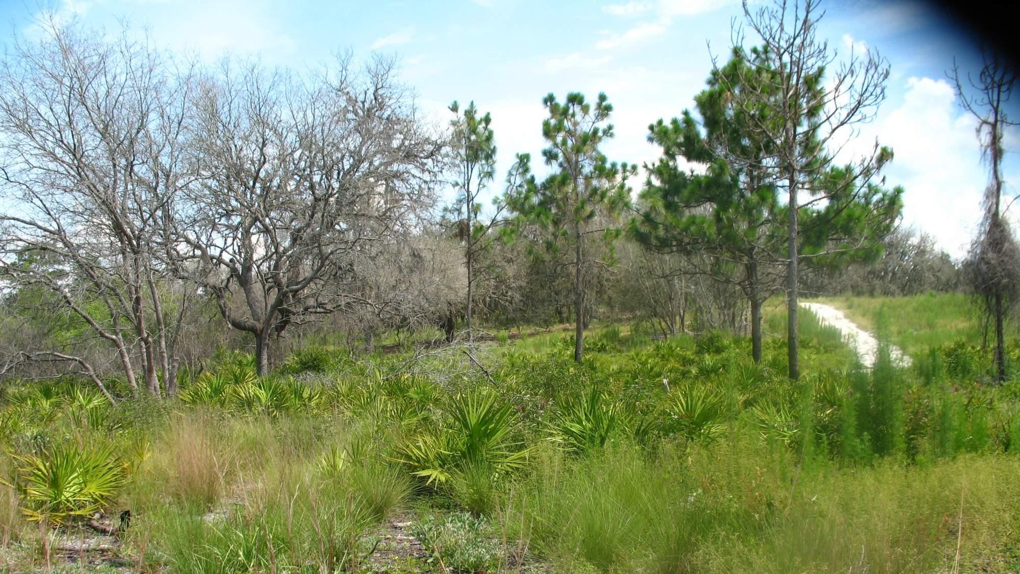
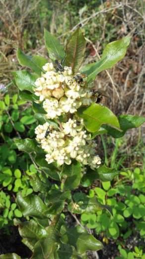
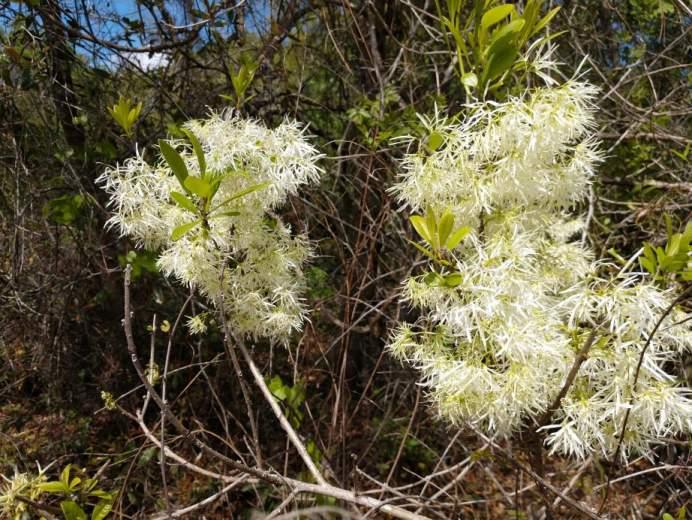
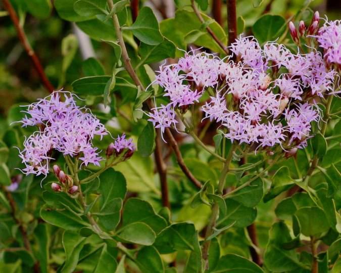
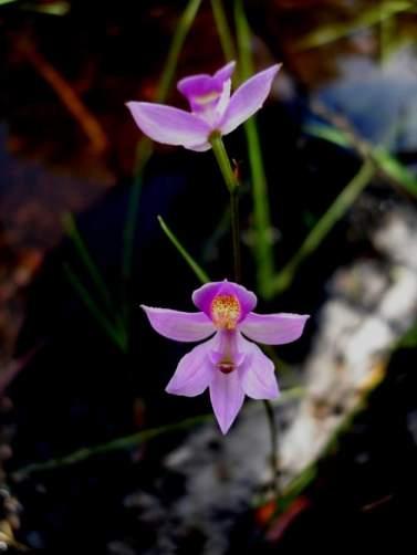
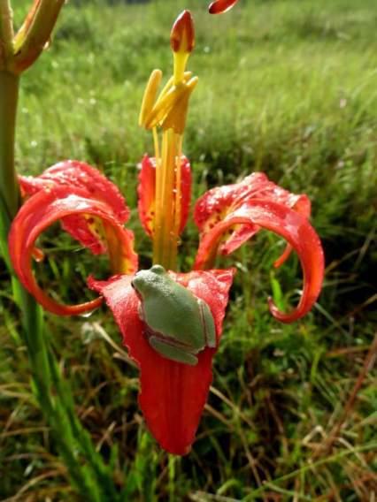
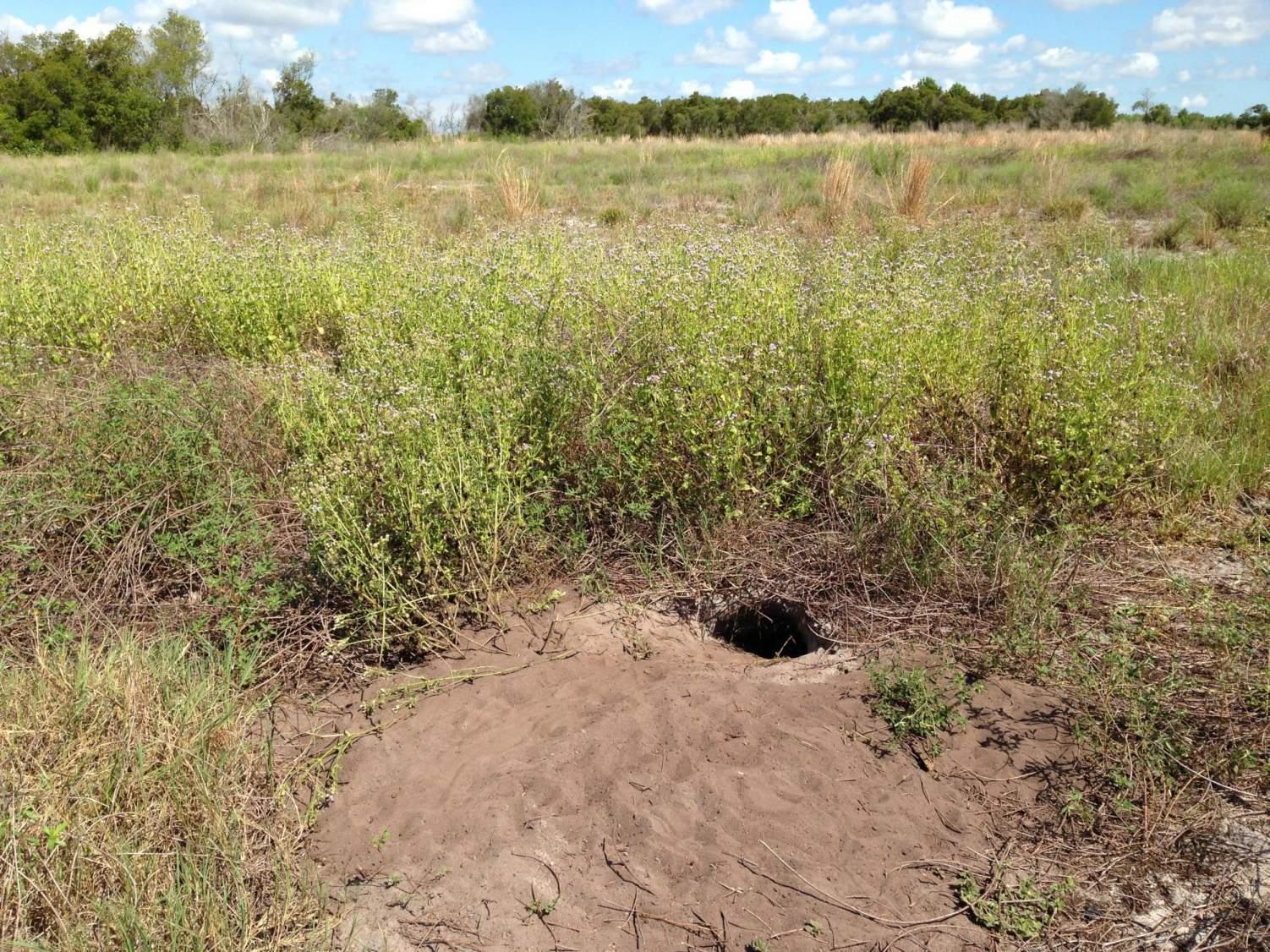
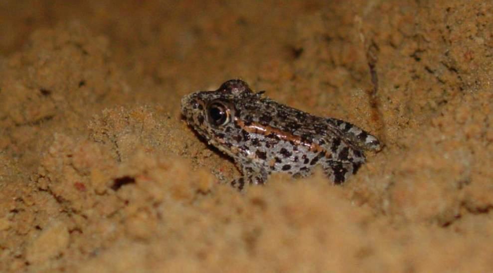

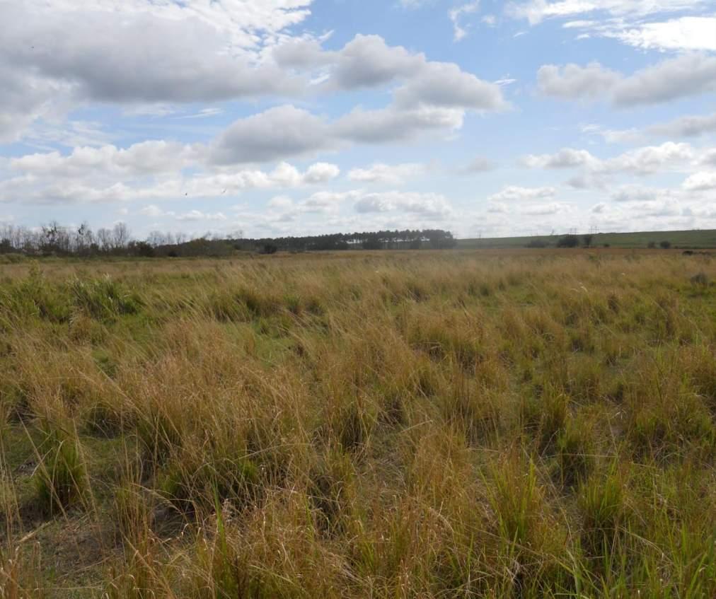
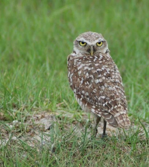
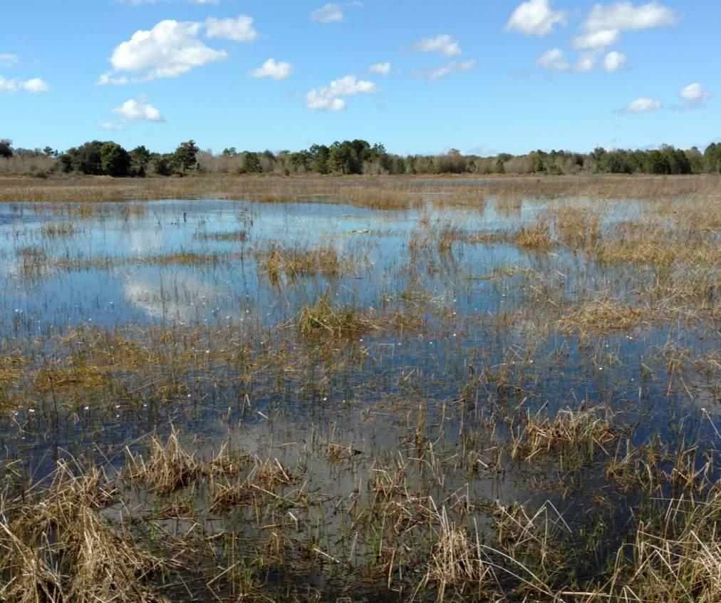
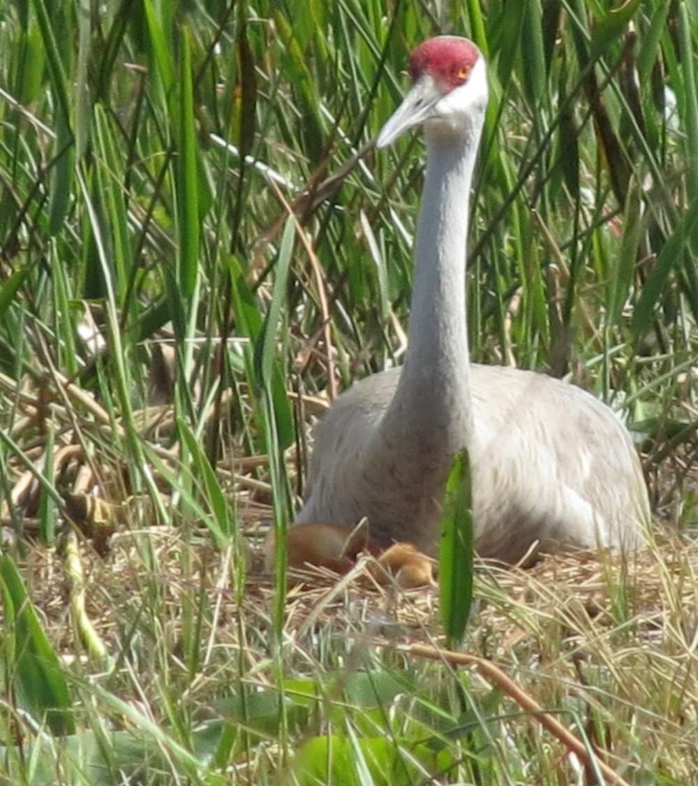
• Fire management –prescribed burns to prevent wildfire and manage ecological resources is integral
• Approximately 60,170 acres are managed with prescribed fire or are subject to wildfires
• Infestations of exotic invasive grasses prevalent
From Prescribed Burned Policy (2015) and Draft Wildland Fire SOP
• Ecological benefit – burns to maintain/improve intact natural communities or imperiled species’ habitats are nearly always prioritized over significantly altered sites
• Likelihood of achieving the intended outcomes – likelihood of meeting the land management objective with fire within the prescribed parameters
• Public safety – burns that significantly reduce fire-related risk to life and property – heavy fuel loading, invasive species
• Window of opportunity – weather and seasonal constraints required for safety and meeting objectives
• Obligation – agreements that require ELM to conduct a burn by a specific date – restoration project, cattle lease, timber management zone/carbon sequencing, mitigation – gopher tortoise habitat or imperiled plant recovery
• ELAPP Annual Goal by 2029 = 9,142 acres
• Current Annual Goal = 3,700 acres
• ELAPP Mean per Year (2014-2023) = 4,782 acres
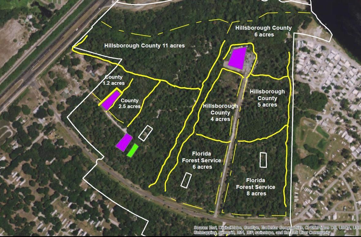
• Focus on heavy rough & mechanical reduction
• Threat to homes & infrastructure
• Several cooperative projects completed in Hillsborough County
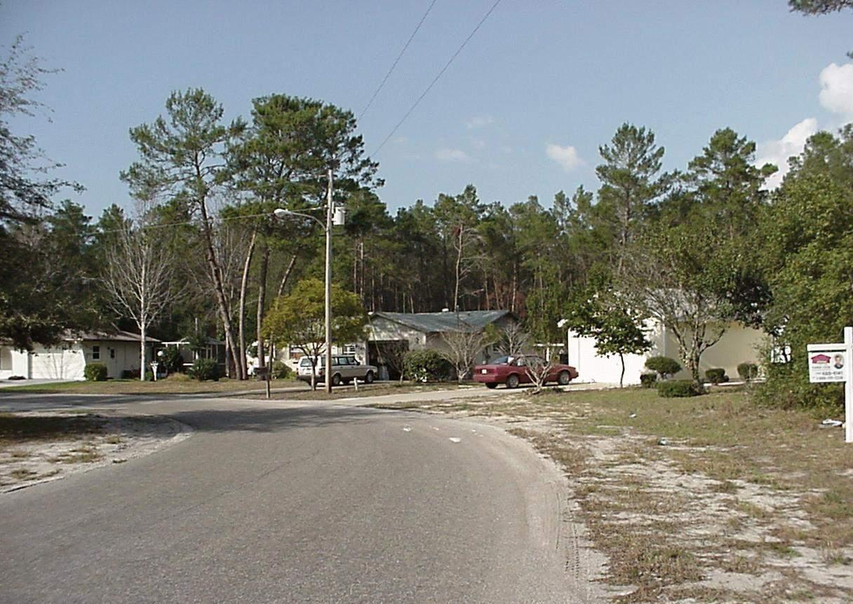
• Defensible space 30-200 feet from home
• Most recommendations pertain to vegetation – ladder fuels, continuity, flammability, species, mulches
• Species recommendations – for planting/for removal
• https://www.fdacs.gov/ForestWildfire/For-Communities/FirewiseUSA/Create-Defensible-SpaceAround-Homes
• Development Services may require an applicant to develop and submit a compatibility plan for preservation land owned by public or private non-profit conservation organization.
• Must be approved by the managing entity
• On-site preservation requires buffers be maintained and also requires the applicant to prepare & submit a management plan.
• Requires designated manager, or entity responsible for management
• Informs purchasers or tenants of resource management practices: ecological burning, pesticide usage, exotic plant and animal removal, usage of heavy equipment and machinery
• Other management practices in the resource management plan, and amendments.
• Preserves are protected by Ordinance 08-17. This includes the prohibition against the disposal of yard waste and introduction of certain animals and plants. Restrictions upon certain types of animals/pets that the public may bring into the Preserve.
• Land uses that may be prohibited include ATV use, horseback riding, paintball, digging, hunting, unauthorized structures. Also campfires.
• There is a Prohibited Plant List – Invasive species – essentially the FISC (Florida Invasive Species Council) list (in existence at the time of signing)
• Over 60 invasive plants on list
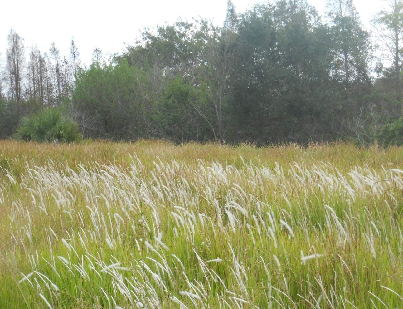
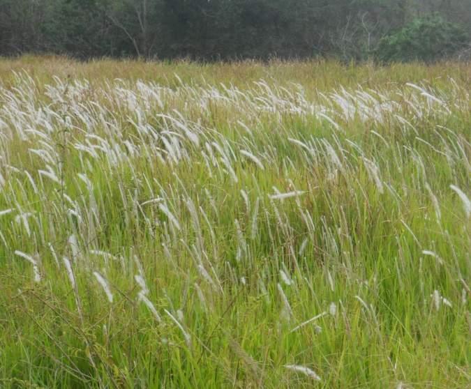
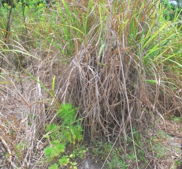
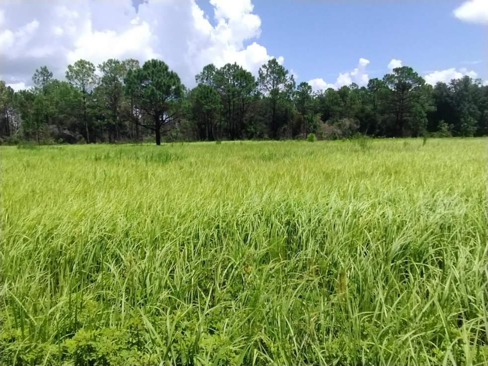
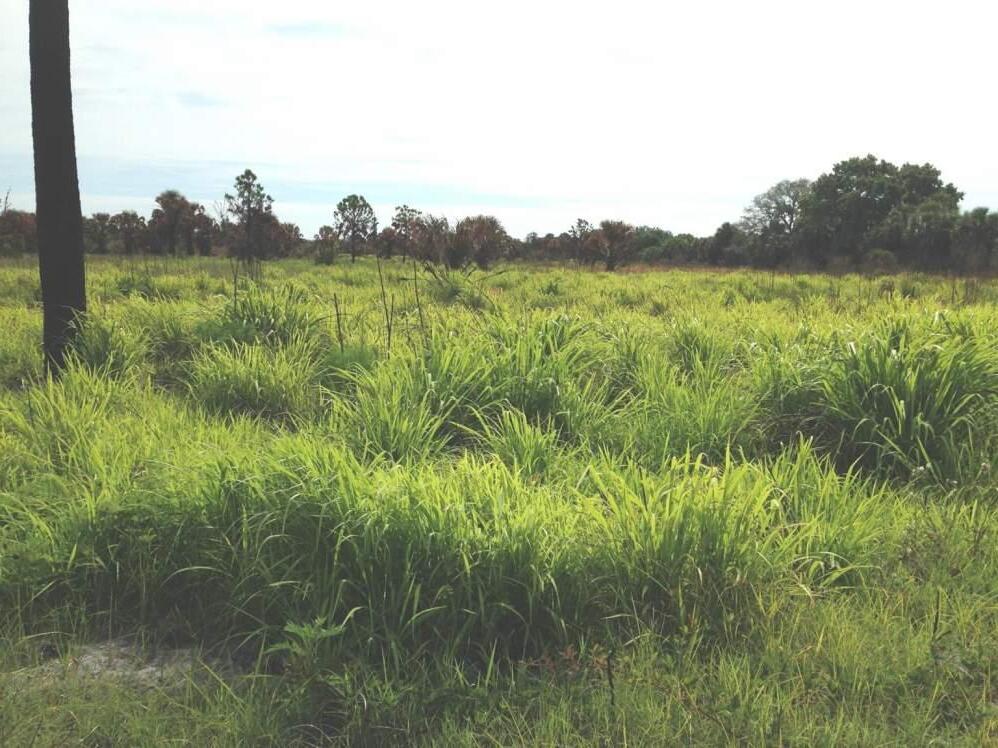
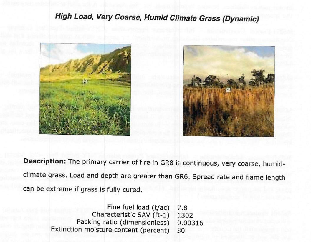
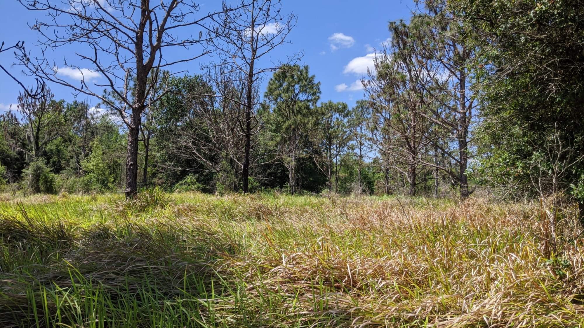
• Includes flammable species such as cogongrass, napier grass, Australian pine, Melaleuca, yew podocarpus.

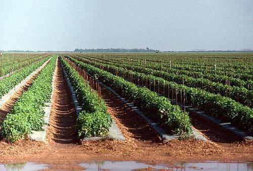
Row crops
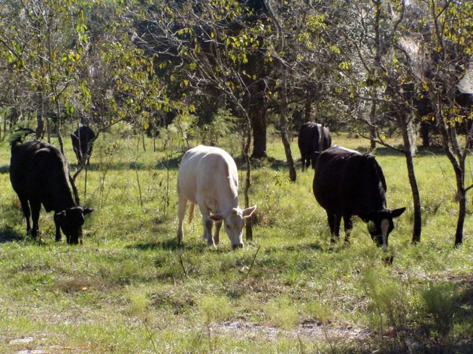
Cattle Grazing on leased lands Present Day. Little Manatee River
the presence of flammable invaders, including cogongrass, increased fire occurrence by between 27 and 230 percent (Cooperative Institute for Research in Environmental Sciences, University of Colorado, Boulder)



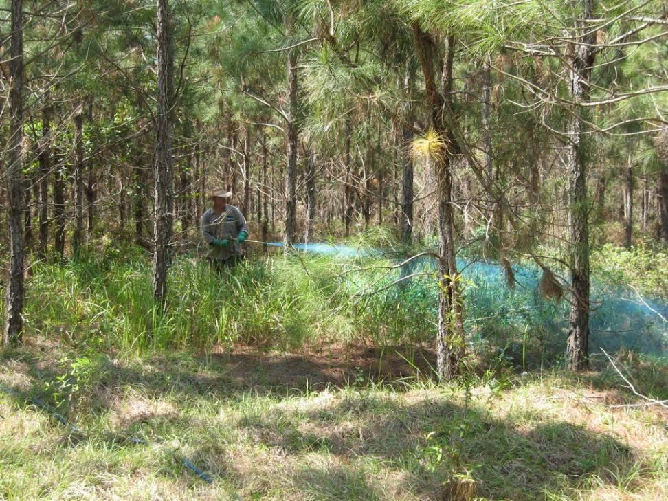
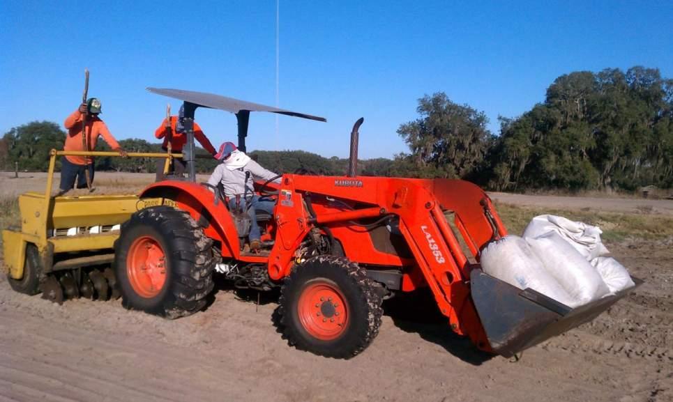
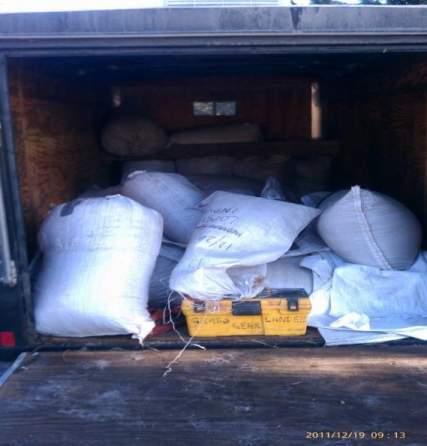
• Public Resistance & Concerns About Environmental & Human Health Effects
• High Cost
• Resistance & No New Development
• Non-Target Damage
• Drift – Crops, Bees, Fish Farms



• Species ID
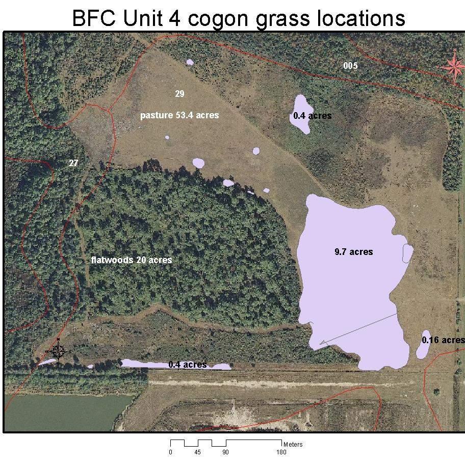
• Where and how much
• Patterns & Interactions
• Landscape Context
• Response to applied treatments (fire & herbicides)
• Response to natural events (flooding)
• Expanding or contracting
• Outlier individuals

Brendan Brown, PWS
What happens NEXT is happening NOW.

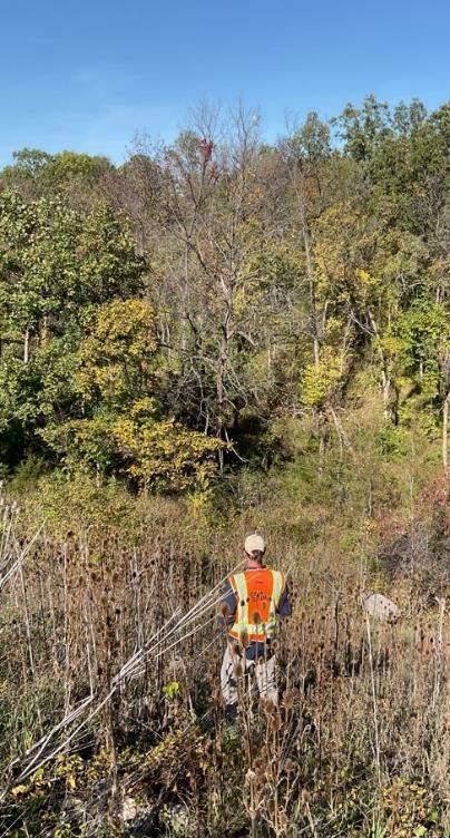
Field work is an invaluable, but limiting factor.
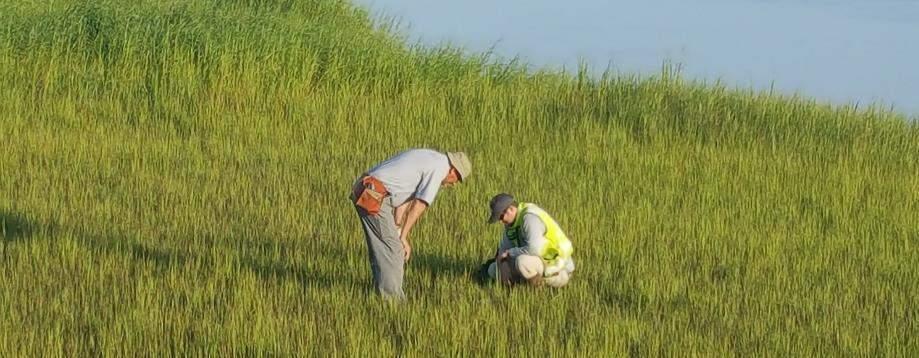
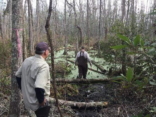
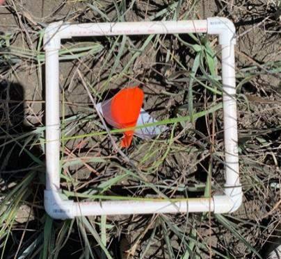
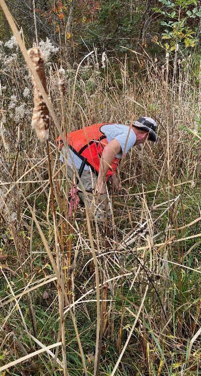
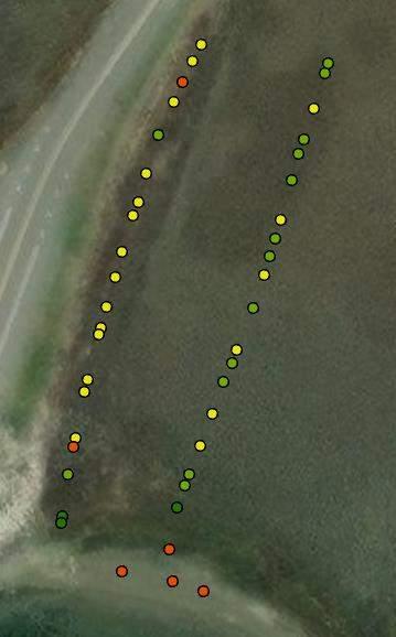
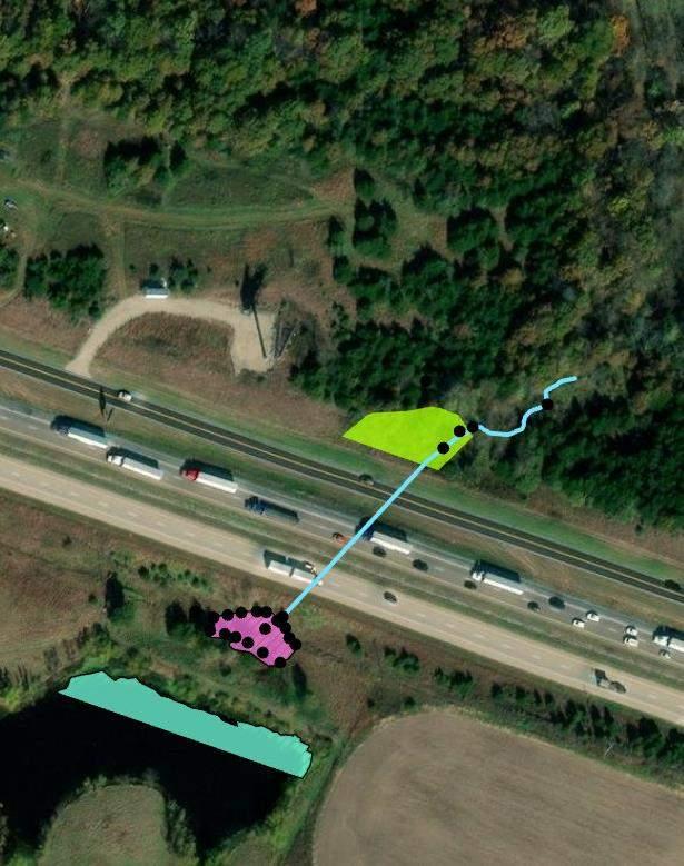
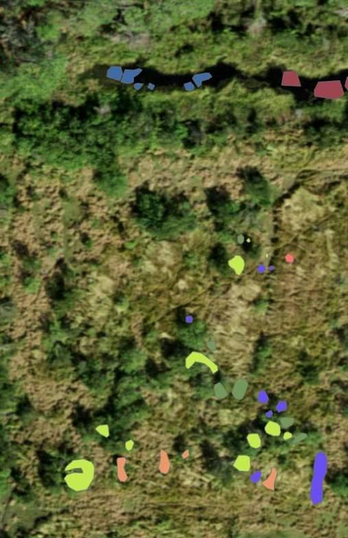
Satellite/plane data is widely available but low spatial or temporal resolution.




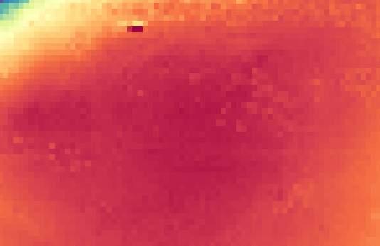
We are finally seeing the promise of machine learning being delivered, but environmental applications are lagging.
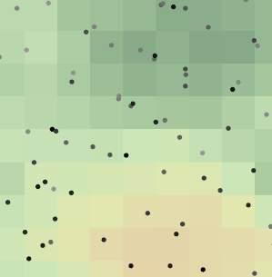
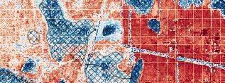


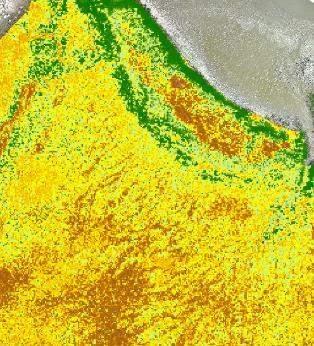
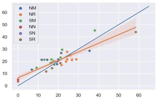
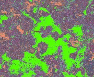
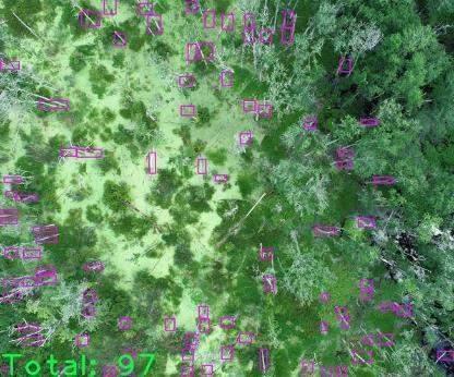
Full site, detailed results to drive data to decisions.
▬ Surveyors

▬ Engineers
▬ Geologists
▬ Scientists
▬ FAA-certified drone pilots
▬ Remote sensing
▬ Machine learning

▬ Common collection platforms
– Satellite, plane, UAVs/drones
▬ Common sensors
– Camera, thermal, lidar multispectral, hyperspectral
▬ Common products
– Imagery, elevation
▬ Choosing the right tools
– Site size, project needs
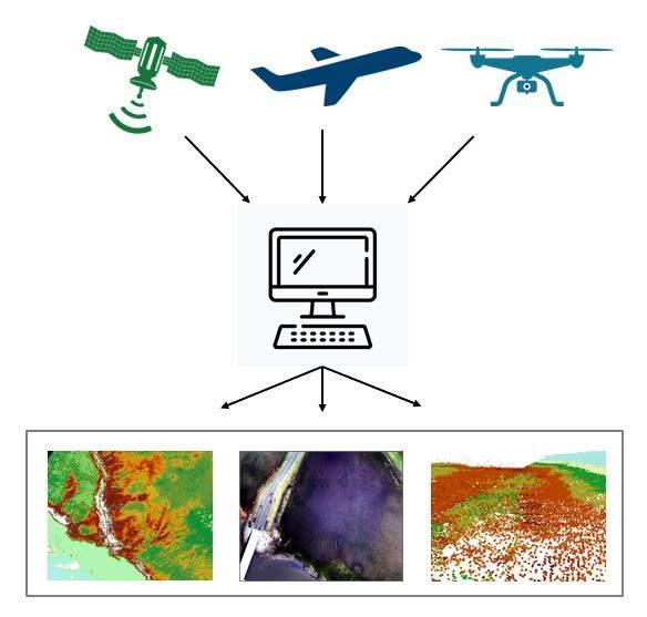
Modern-day computer processing power has opened the door to widespread use of AI.


Modern-day computer processing power has opened the door to widespread use of AI.


Machine learning models are used to predict values or variables of interest based on input data.
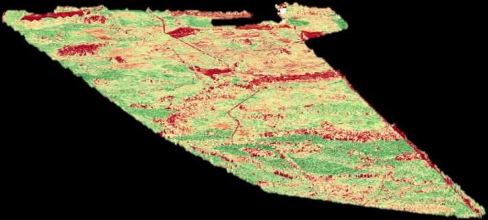
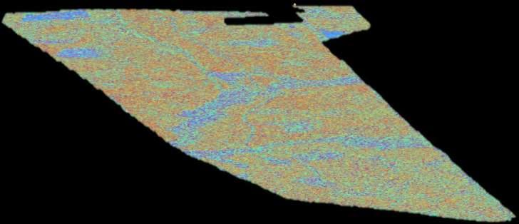
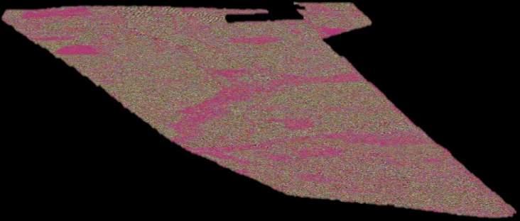
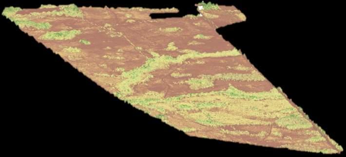
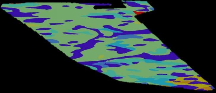
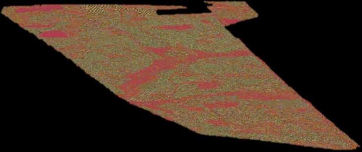
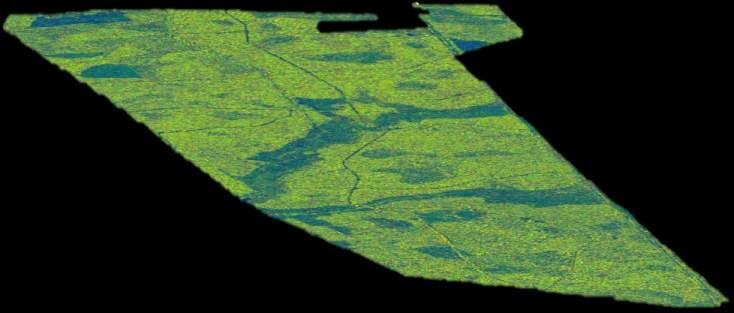
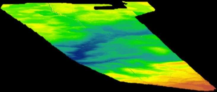
Target Variable
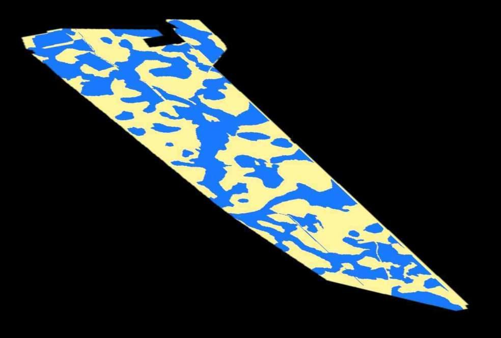
Machine learning models are used to predict values or variables of interest based on input data.


Target Variable


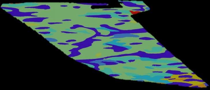
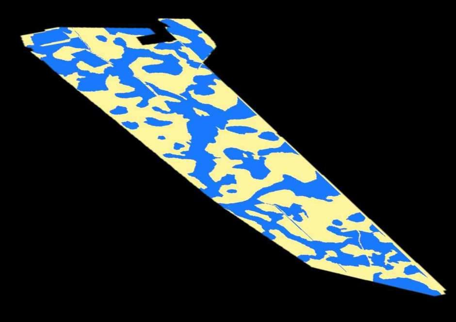
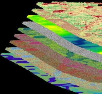
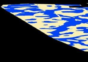

Model predictions are then compared to data of known values to determine model accuracy.
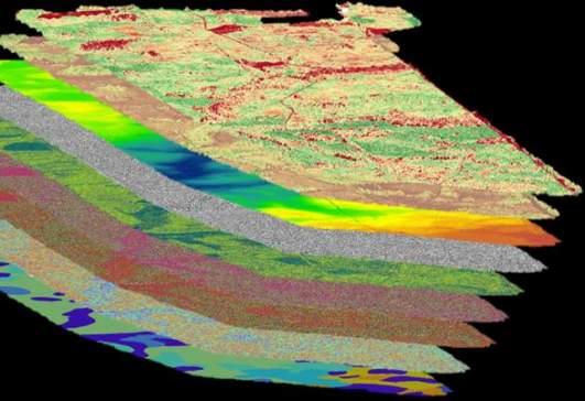

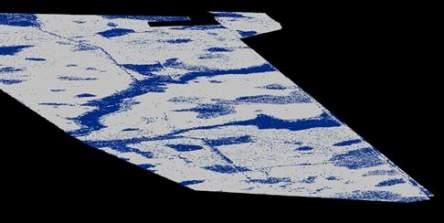
MEASURED AGAINST
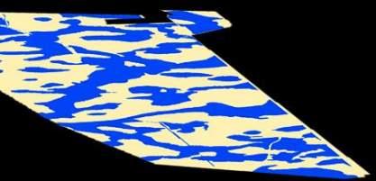
How do we identify invasive species and assess the effectiveness of treatments to remove them?
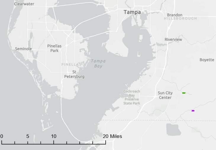
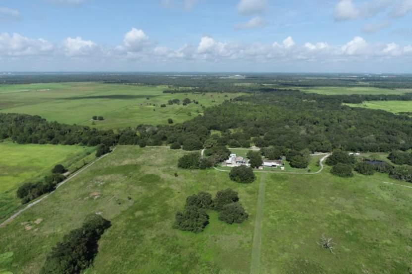
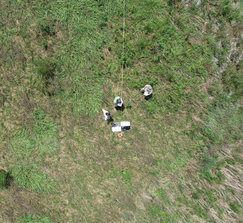
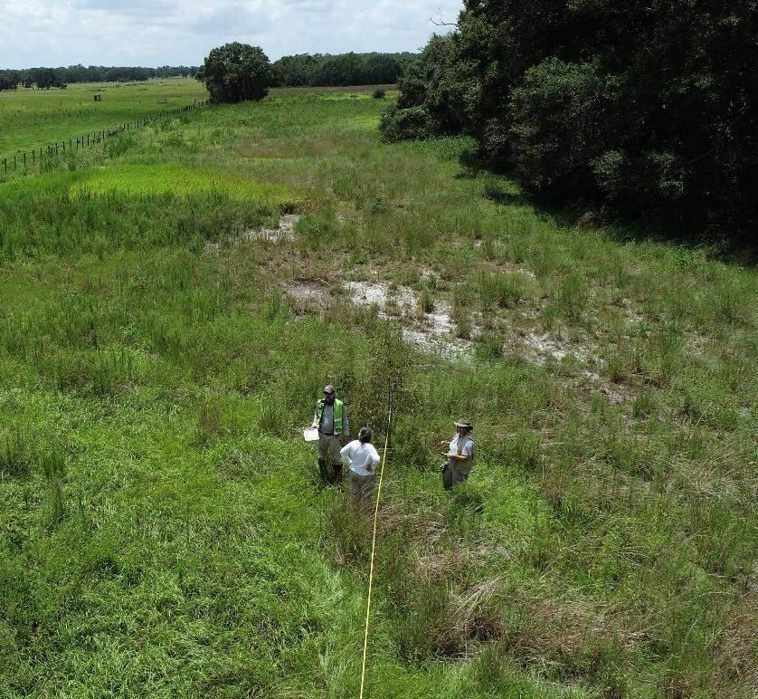
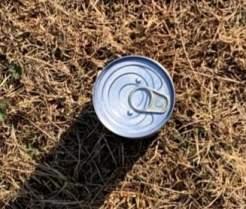
CDM Smith developed patent-pending data collection methods to increase efficiency and improve model accuracy.

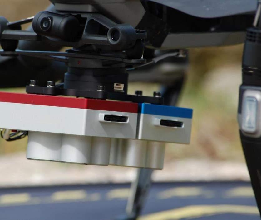

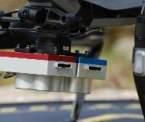
CDM Smith created high-resolution 10-band orthophotographs.
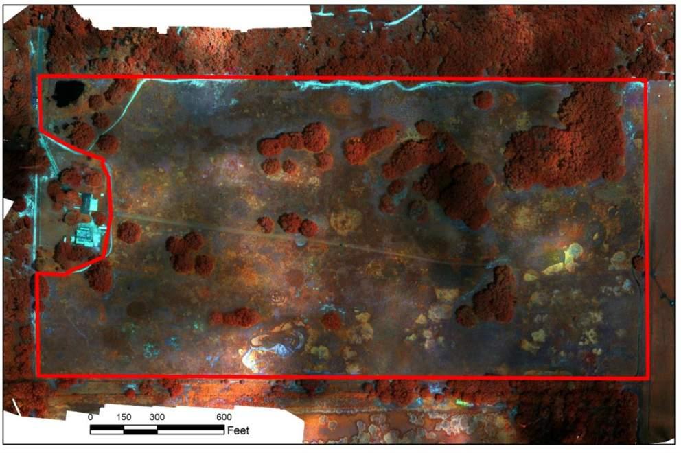

Resolution 3-in per pixel
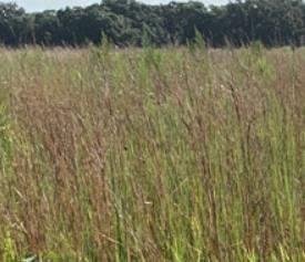
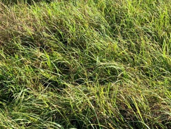
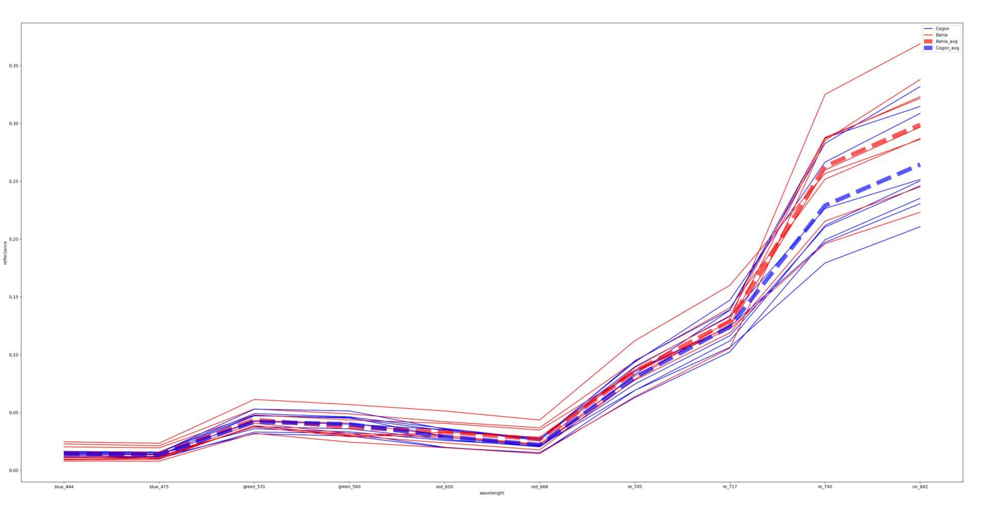
Cogongrass stands out based on its near infrared signature.


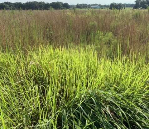

Average of Species
Individual Species Plot
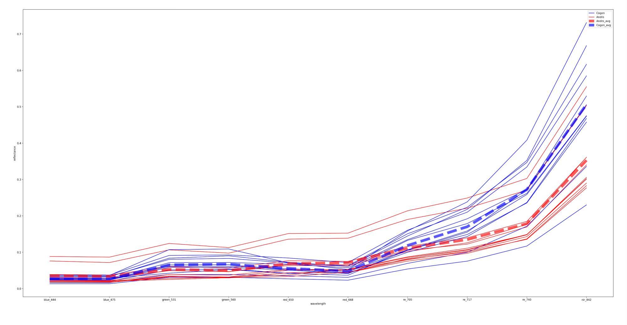
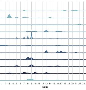
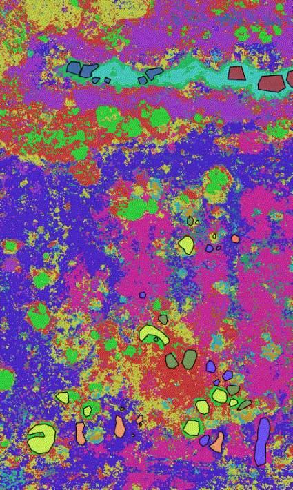
Even if spectral patterns are similar, machine learning can separate species.



Average of Species
Individual Species Plot

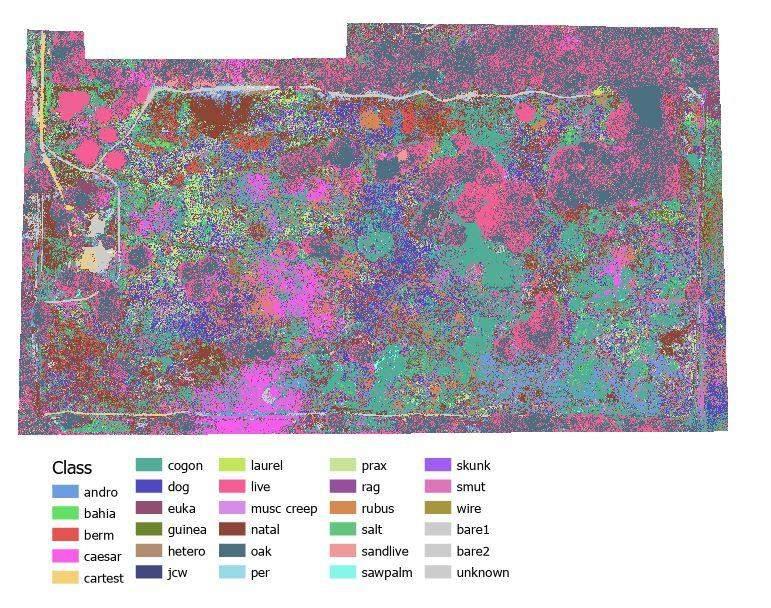
Multispectral Drone Data
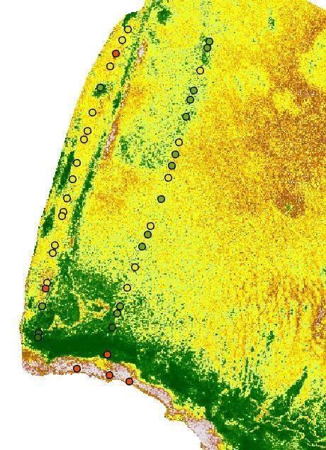
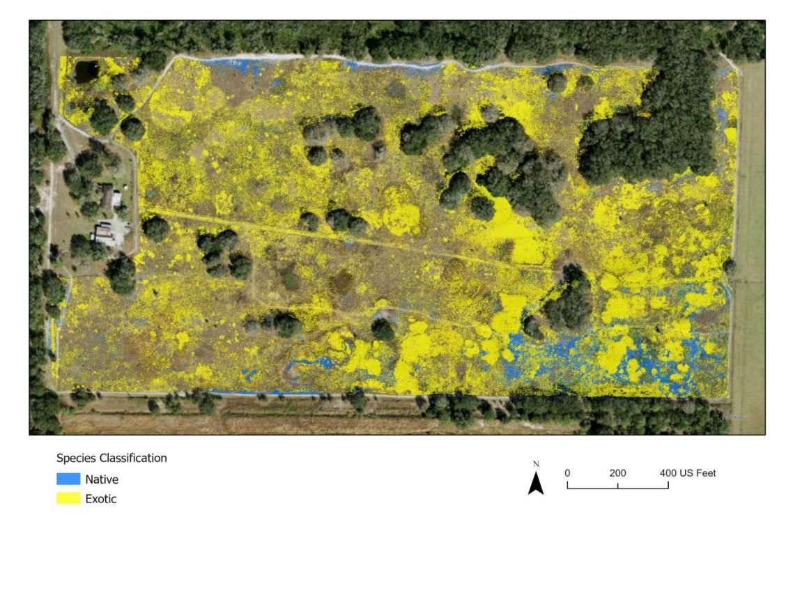
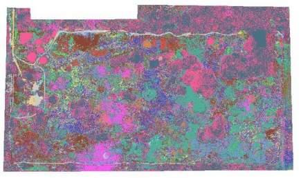
CDM Smith developed a high accuracy map of native and exotic species using machine learning.
Overallmachine learning model accuracy: > 80%
Pixel size = 3 inches

Exotic/Fire Species
Native/Fire Species

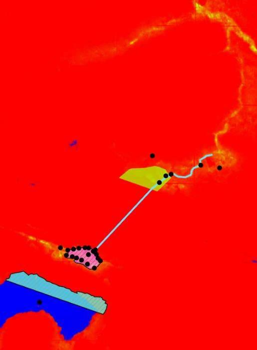
Machine learning model results can be used to pinpoint locations of exotic and native fire


There are multiple advantages of using these technologies.
Save time/shorten schedule
Reduce field labor
Increase human safety


There are multiple advantages of using these technologies.
Save time/shorten schedule
Reduce field labor
Increase human safety

Higher quality data
Digital record
Data consistency
Data repeatability
Track change over time
100% site coverage

There are multiple advantages of using these technologies.
Save time/shorten schedule
Reduce field labor
Increase human safety

Higher quality data
Digital record
Data consistency
Data repeatability
Track change over time
100% site coverage


These technologies can improve the efficiency, scale, and accuracy of environmental evaluations conducted on public lands:
▬ Threatened and endangered species habitat
▬ Native plant communities
▬ Biodiversity
▬ Biomass/carbon sequestration
▬ Invasive and exotic species
▬ Wildland fire activities
▬ Resilience
▬ Track affects of climate change

The right questions can help determine the scale, sensors, models, and outputs to optimize data collection and analysis.
▬ What do I want to identify or know about my land?
▬ How big of an area of interest is there?
▬ Why do I want to know this (regulatory, restoration, risk mitigation)?
▬ How might I use this information?
▬ How frequently do I need to assess change or the target of interest?
▬ What baseline data do I have?
▬ What is the size of the problem?
▬ How common is the target of interest on the landscape?
▬ Are there site constraints or access issues?


What happens NEXT is happening NOW. Let’s shape your NOW together.