for staying for this last day of the conference and coming to the earliest session!
We’d like your best answer to the following question ….


A Military official, Planner, Biologist and Resilience Specialist


for staying for this last day of the conference and coming to the earliest session!
We’d like your best answer to the following question ….


Ground to Ground
Used by all branches of the Armed Forces


Largest bombing range east of the Mississippi


Provide a sustainable, world-class training complex focused on advanced, realistic and relevant training for joint, interagency and multinational partners, excelling in air-ground integration and Agile Combat Employment

GOAL: Sustain the Military Mission
• Minimize Mission Land Use Limitations
• Maintain Current Database to Support Mission Needs Assessments
• Maintain Ecosystem Health
• Meet Statutory Requirements


• Threatened & Endangered Species
• Invasive Species Control
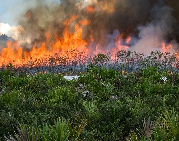
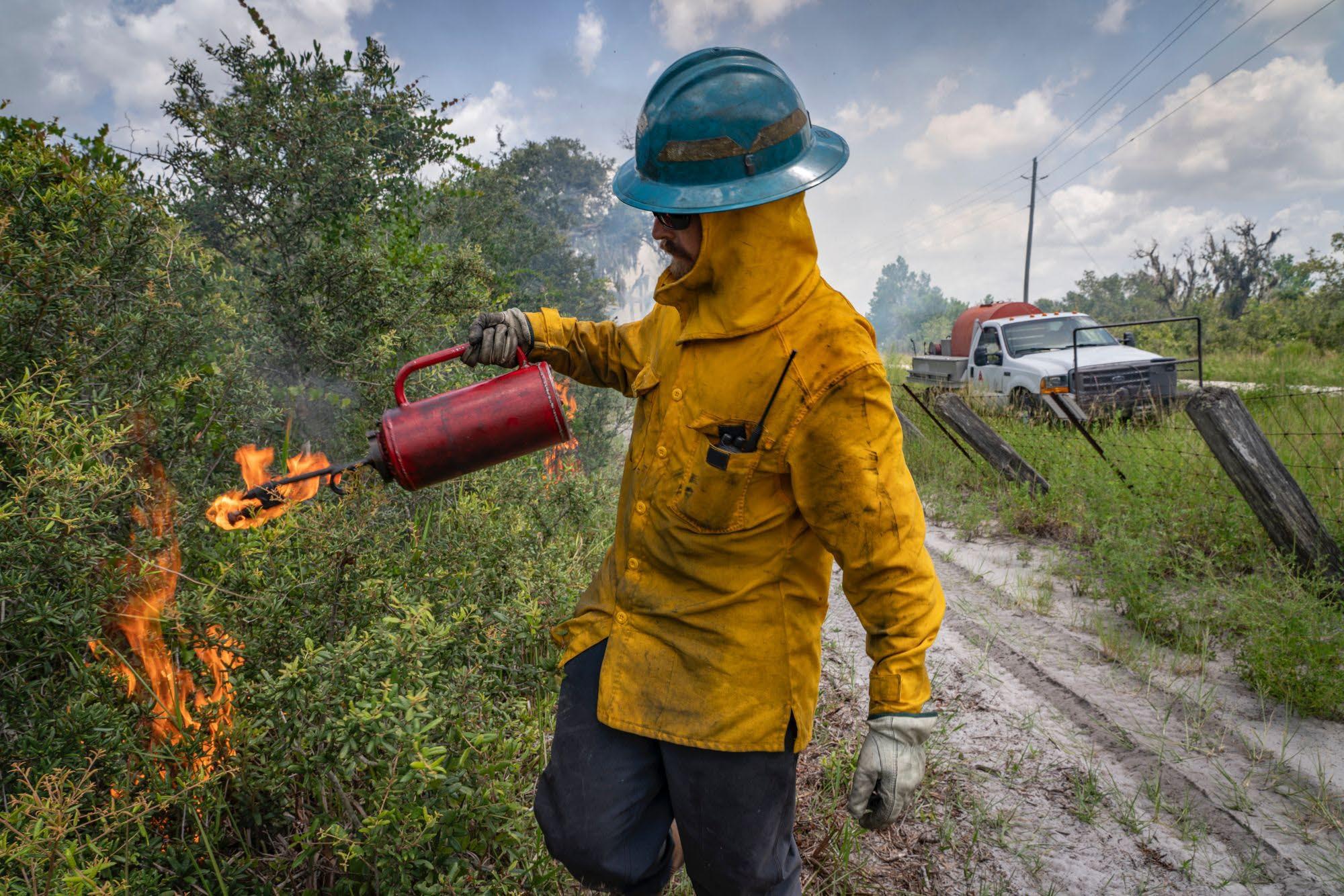
• Prescribed Fire
• NEPA – National Environmental Policy Act
• Integrated Natural Resources Management Plan (INRMP)



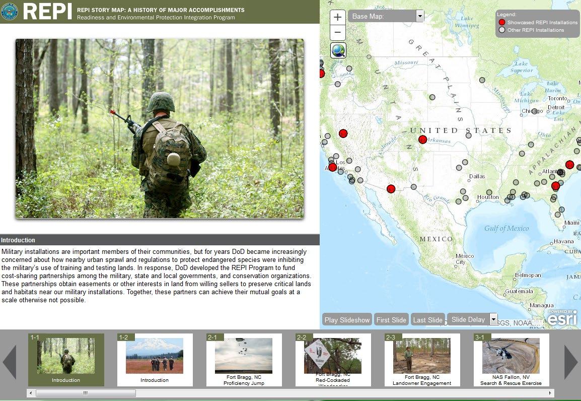

• A Partnership for the future:
• Supporting our agriculture
• Respecting our natural resources
• Strengthening our national defense

A partnership between the U.S. Departments of Defense, Agriculture, and Interior, working together with state and local partners, to address national defense, agriculture, and conservation to achieve landscape conservation and climate resilience goals.

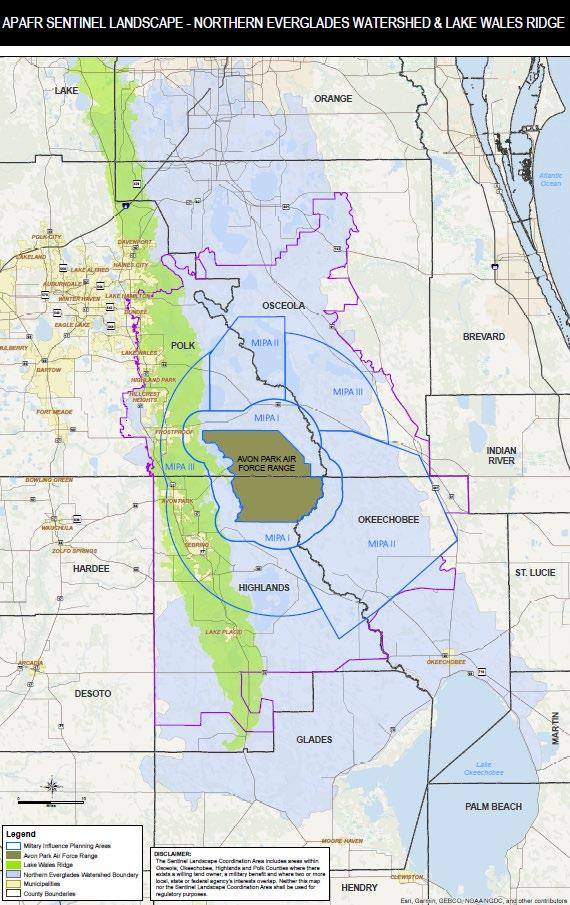
Designated based on the value of the Range, Natural Resources, Species, and Agricultural Lands
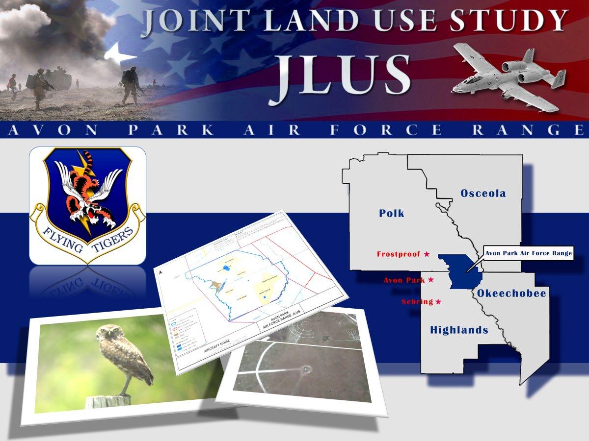
Portions of 4 Counties – 1.7 million acres

Coordinating local, state, federal, and nongovernmental efforts
More than 30 partner agencies and organizations
Charles E. "Buck" MacLaughlin
Range Operations Officer
598th Range Squadron, 23rd Wing, Avon Park Air Force Range


1) 744,000 Acres Enrolled as of 2023;

2) 63,000 Protected
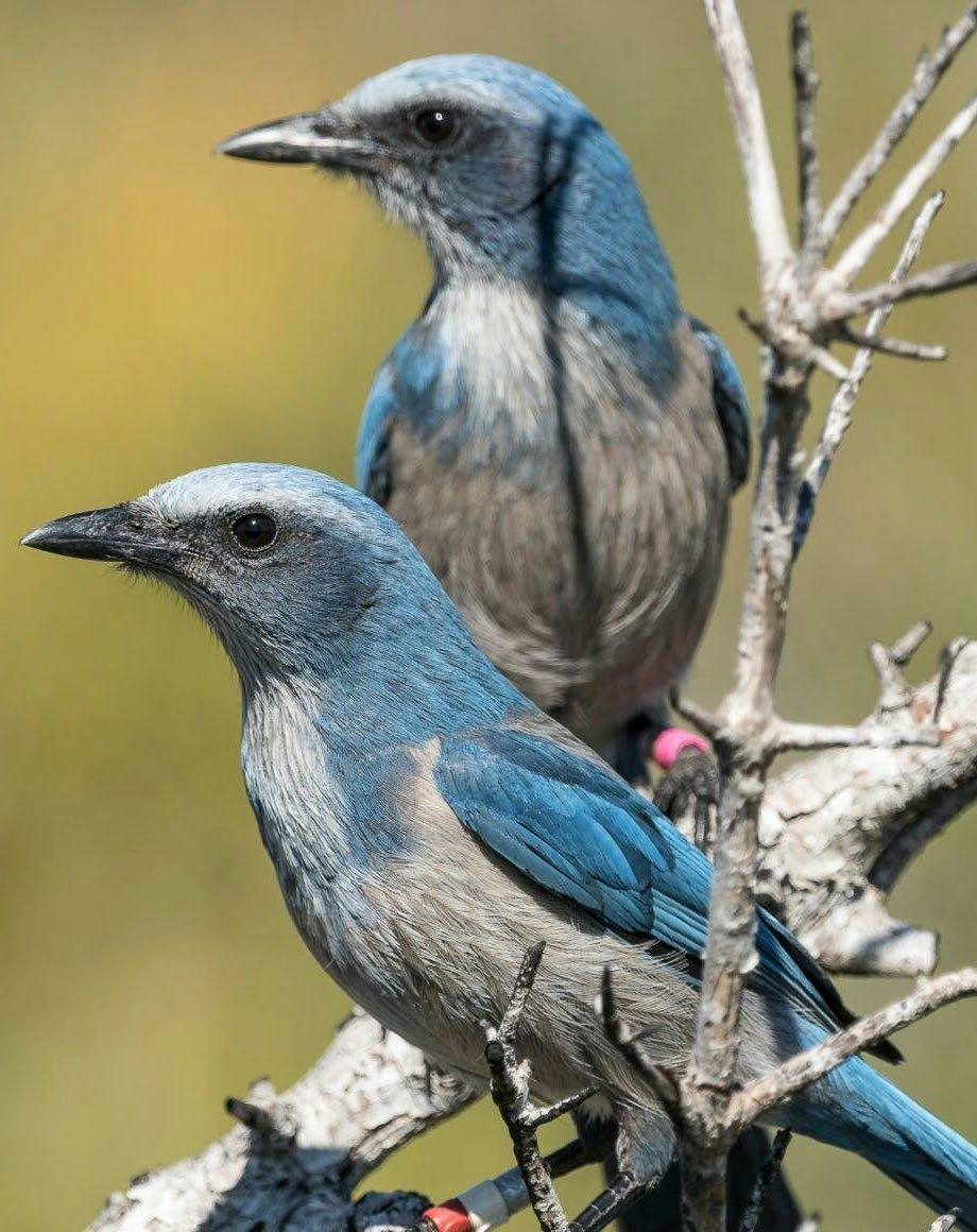
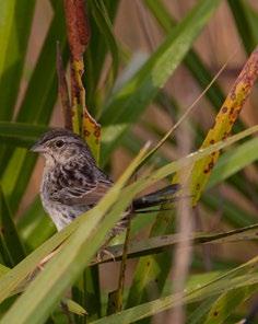
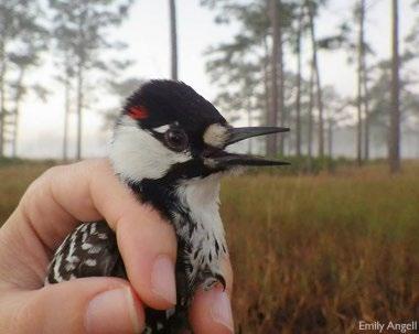
3) Endangered Species: Florida Grasshopper Sparrow, Red-cockaded Woodpecker, FL Scrub Jay


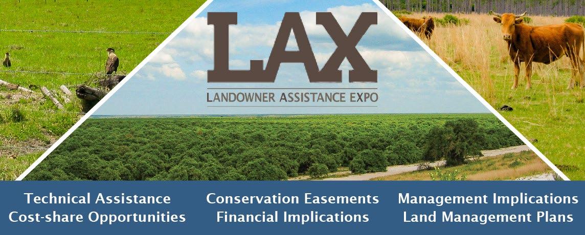
4) ATBC Grants (3) Received for RX Fire & Landowner Management Plans
5) Resilience Planning & Mitigation


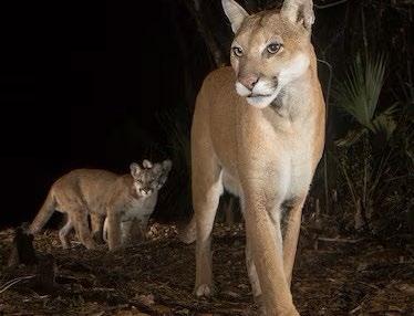
Covers nearly 18 million acres
9.6 million acres are conservedprotectedlands
8.1 million acres are areasopportunity for future conservation
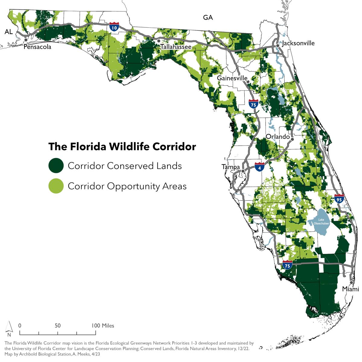

Source: National Geographic

Predictive Analysis of Short-term Development and Key Parcel Identification within the Florida Wildlife Corridor – 7-County Heartland Region
• Commenced in early 2022
• Completed summer of 2022
• CFRPC partnership with Archbold Biological Station
• GOAL: To identify locations within and near Florida Wildlife Corridor Opportunity Areas that may be under threat of development in the near future.
• Collect, collate, and summarize relevant planning data for identification of land areas that may be developed or likely to develop within the Florida Wildlife Corridor

Predictive Analysis of Short-term Development and Key Parcel Identification within the Florida Wildlife Corridor
• Commenced in October 2022

• GOAL: To identify locations within and near Florida Wildlife Corridor Opportunity Areas that may be under threat of development in the near future.
• Prepared in four (4) deliverables


• Completed in September 2023 Deliverable 1 Deliverable 2 Deliverable 3 Deliverable 4
• Involved collection, collation of planning data to identify lands that may develop.
• Results provided for each County, include:
• Inventory of potentially developable, vacant parcels
• Identification of new development activity (Mapping of Building permits)
• General analysis of potential development threats to continued connectivity of the corridor

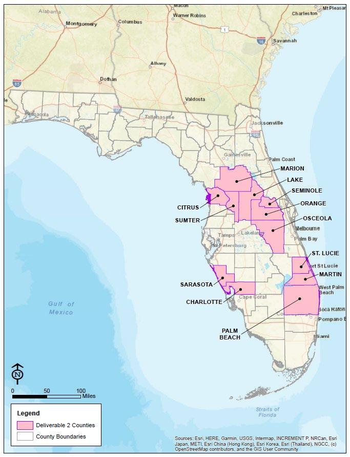


*(January 2019 – March 2022)
• +/- 6,118 residential building permits in areas identified as having development threats on the corridor
• These areas represent about 42% of the total number of permits issued in Polk County
• Conclusion: Development threats are located in key areas of the corridor threating future connectivity.

Predictive Analysis of Short-term Development and Key Parcel Identification within the Florida Wildlife Corridor

• Statewide Look

• Highest concentration of new development along urbanized coastlines and interstate corridors.
• Critical bottlenecks (shown by circles on map) represent areas of potential development activity within Opportunity Areas
• Approximately 80% of building permit data collected for the state.
• +/-2.5 million acres suitable land use for development


• Developable land use within Opportunity Areas (FLU and land suitability)

• Vacant Parcel Inventory – by County
• Building Permit Activity, reflecting development trends – by County
• Additional dataset for the toolbox –
To assist in continued efforts:
• To protect
• To conserve
• To inform


Building and sharing scientific knowledge to protect the life, lands, and waters of the heart of Florida and beyond.

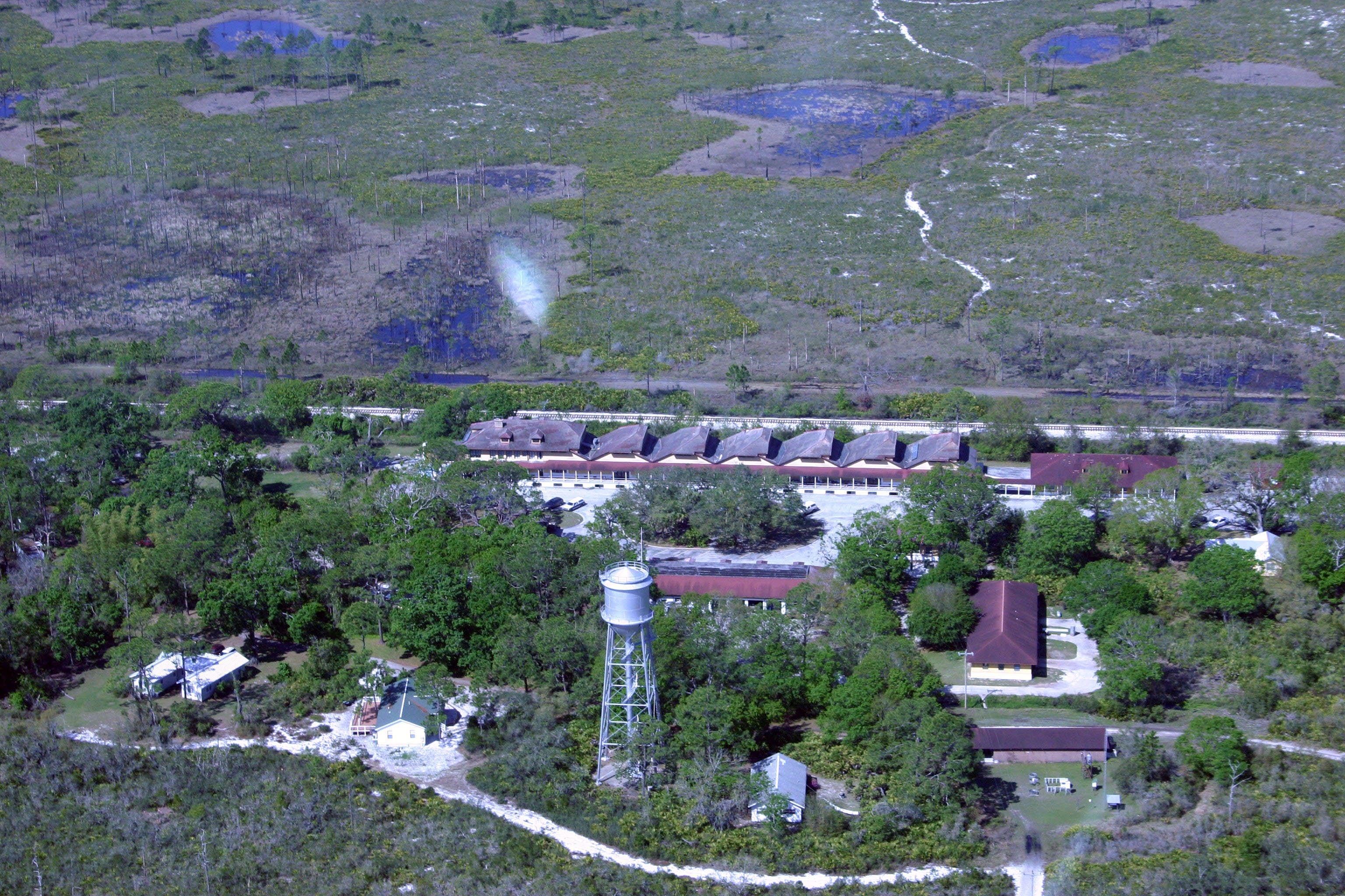
ARCHBOLD RESERVE
3,716-acre restoration site
5,200-acre pristine scrub preserve
AVON
AIR FORCE RANGE
10,500-acre cattle ranch
106,000-acre military facility


saving the rarest of the rare sustaining grasslands addressing climate change connecting large landscapes and wildlife corridors


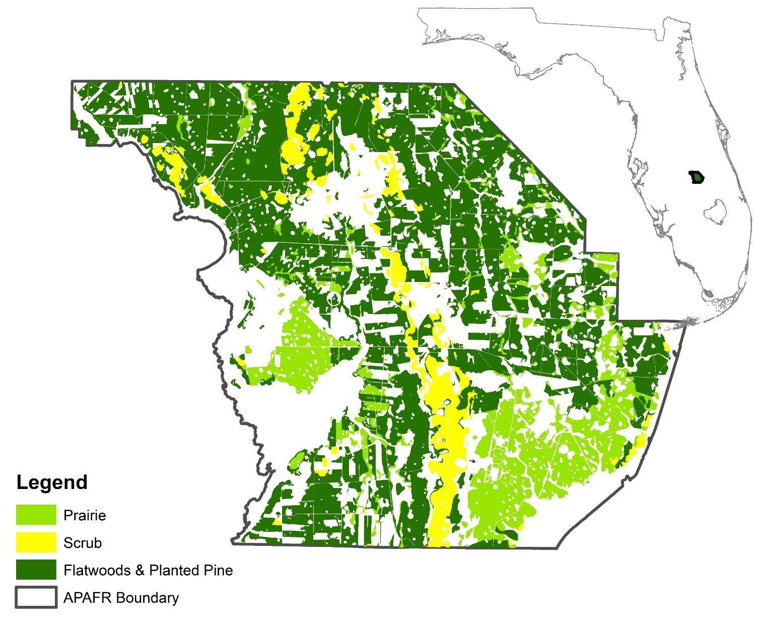
• 106,000 acres of habitat
• 16 threatened, endangered, and at-risk species
• Sikes Act



Dr. Todd Jones Director, Conservation Science of Military Landscapes










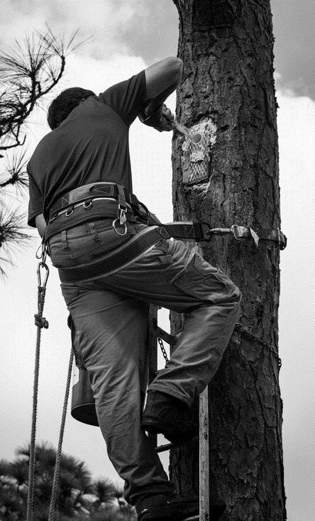

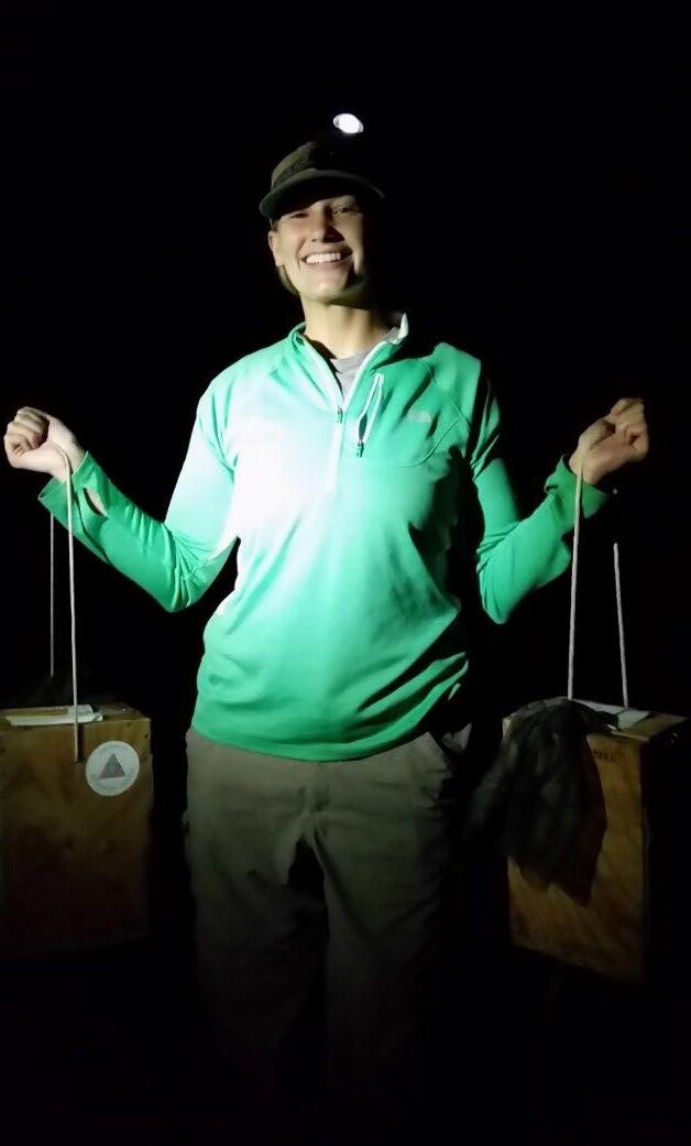
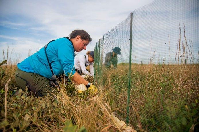
Monitoring, habitat assessments, protections



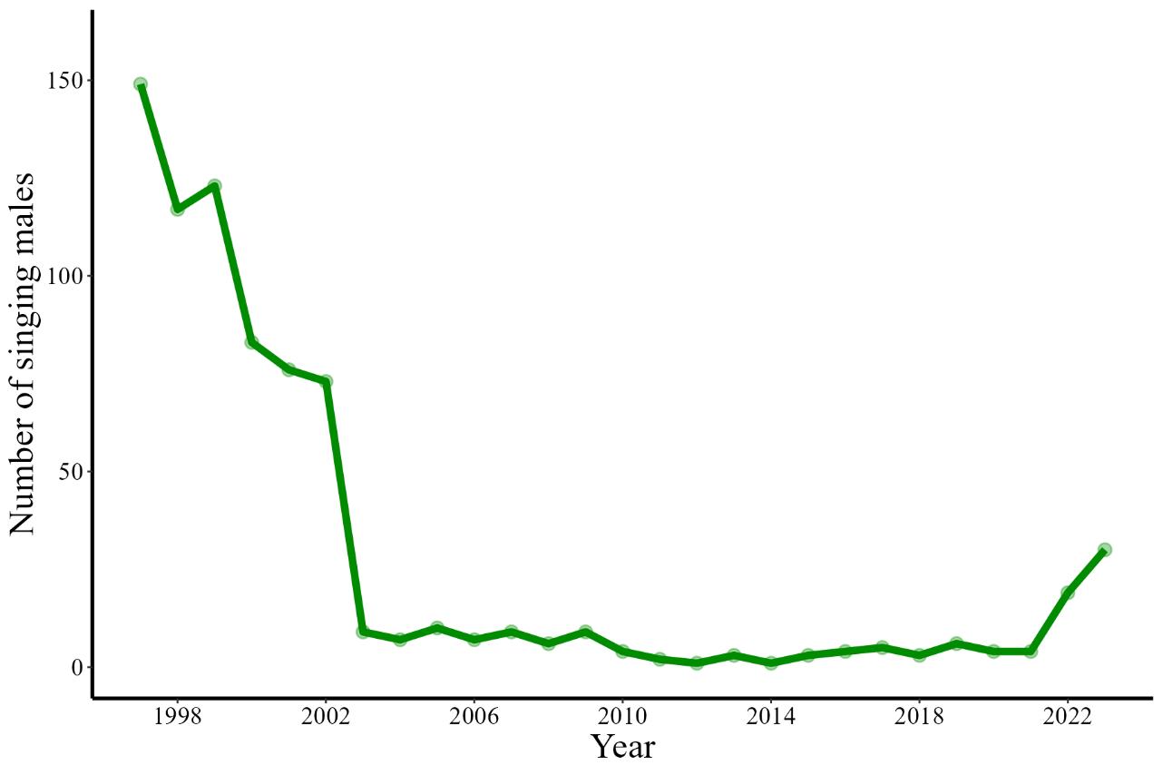

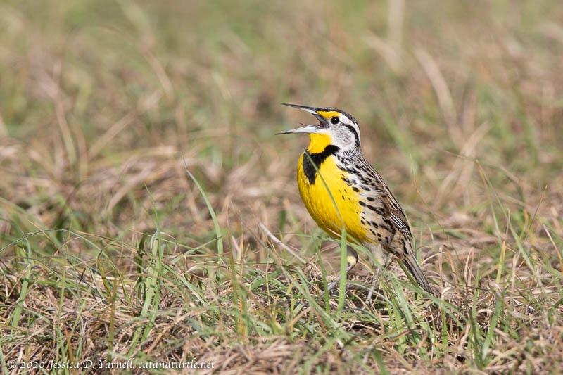
Update: up to ~30 singing males this year
Conservation breeding releases
Habitat and population management
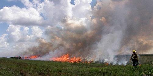
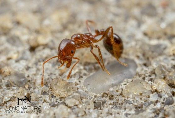
• Grazing + fire + fire ant impacts on wildlife
• Jays, Sparrows, grassland birds, Indigo snakes
• Goal: inform/improve management








Avon Park Air Force Range


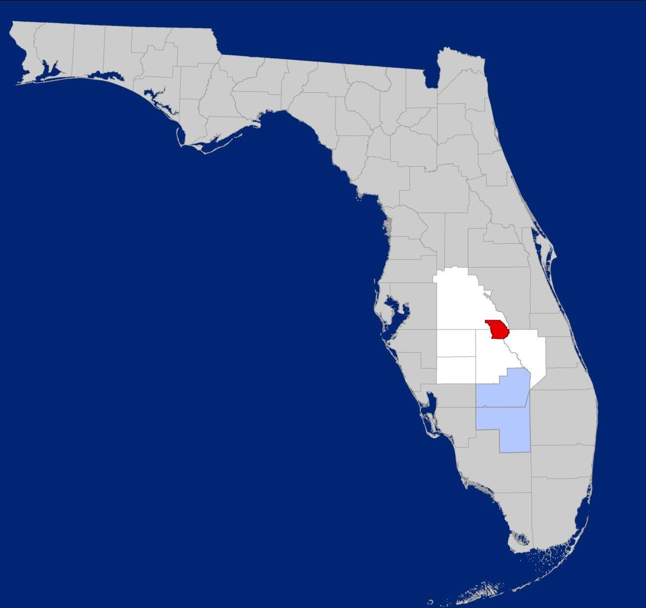
• Heartland 2060: Building a Resilient Region
• JLUS (2010), ICEMAP, Noise Study

• Sentinel Landscape (2016) - 30 partners
• Regional Resilience Coalition (2022)
• Vulnerability Assessments
• Military Installation Resilience Review
• CDBG-MIT Extreme Rainfall Model/Flooding
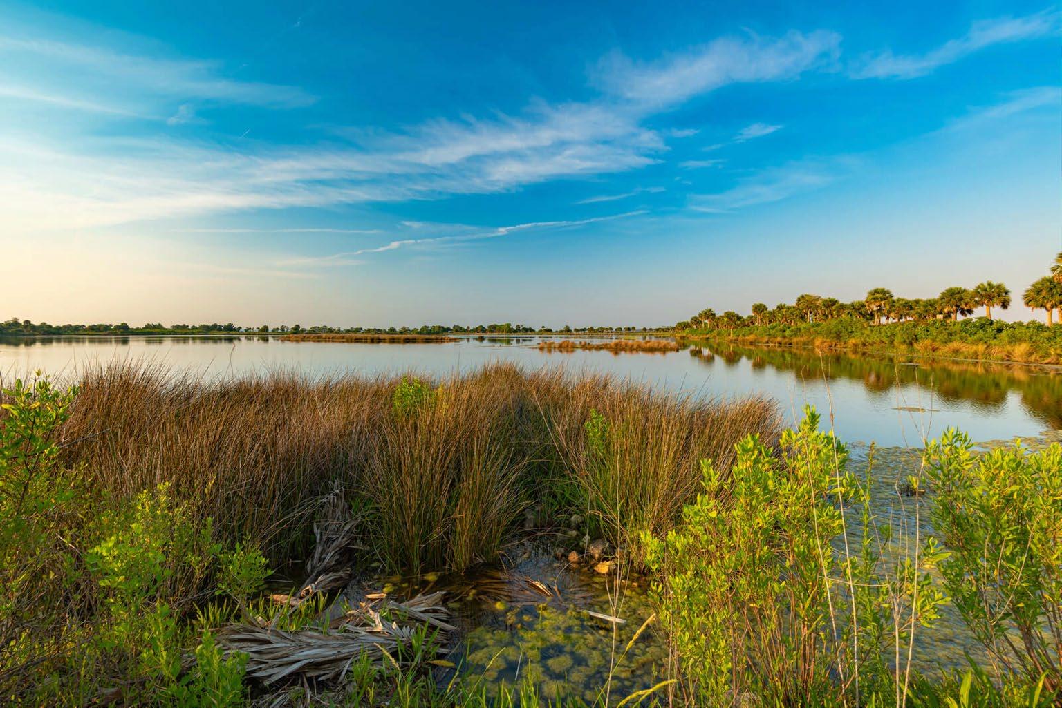
Lake Wales Ridge
Northern Everglades Headwaters


PURPOSE:
Identify man-made & natural threats to Avon Park AFR & across communities likely to impair continued operations and services.

ACTIVITIES:
• Comprehensive review of natural and man-made threats and vulnerabilities
• Technical Advisory & Steering Committee
• Interviews
• Key Workshops & Tabletop Exercise
• Threat Assessment
• Adaptation & Mitigation Strategies
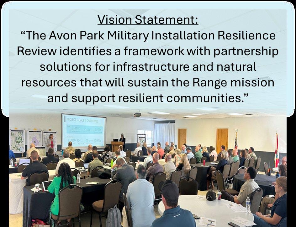

The Board of CFRPC Approved Formation of the Coalition through a Memorandum of Understanding (MOU) among Local Governments in the Heartland and CFRPC




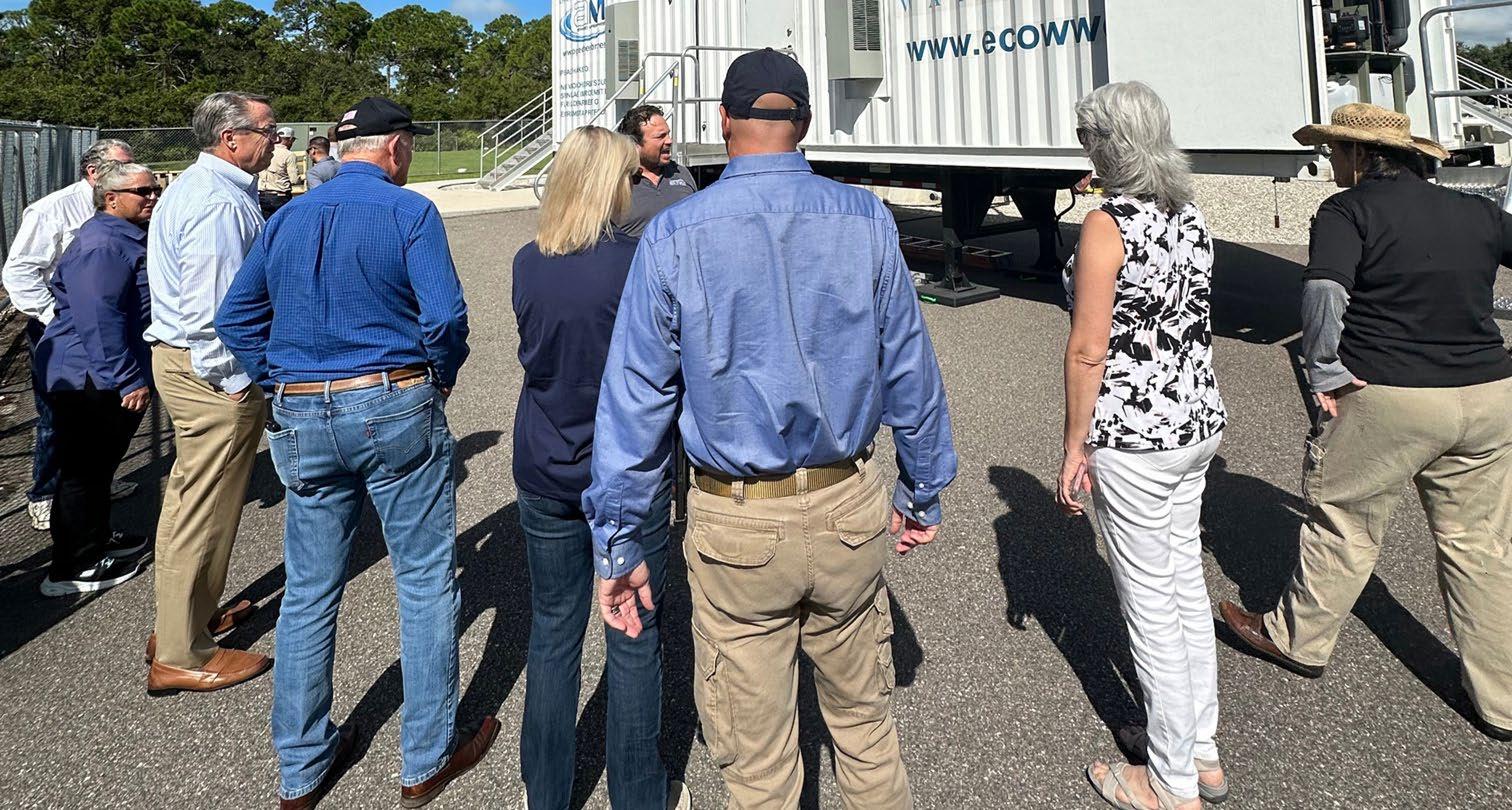
• Heartland Regional Resiliency Coalition


• Heartland Resiliency Summit
• Military Installation Resilience Review
• Landowner Assistance EXPO


Institutional knowledge, resources, and relationships
Convened in partnership we can accomplish larger scale projects with diverse interests and implementation
Being able to tap into existing partnerships and collaborative efforts
Visibility as a cohesive group Opens non - traditional funding options
Leverage funding and opportunities for bigger conservation gain
Long term business relationships
Coordination, not competition, to maximize accomplishments


