Examining the 1960s and Beyond: the Future of
Transportation in Miami-Dade County
PRESENTED BY
Lisa Colmenares, AICP
Narinah Jean - Baptiste, Esq.
Alyssa Goldberg, MST
Francisco Arbelaez, AICP, KEED Green Assoc .

PRESENTED BY
Lisa Colmenares, AICP
Narinah Jean - Baptiste, Esq.
Alyssa Goldberg, MST
Francisco Arbelaez, AICP, KEED Green Assoc .


 DTPW Chief Planning Officer
Francisco Arbelaez, AICP, LEED Green Assoc.
DTPW Principal Planner Presenter
Narinah Jean-Baptiste, Esq. Weiss Serota Land Use Attorney Presenter
Alyssa Goldberg, MST EXP Multimodal Transportation Manager Presenter
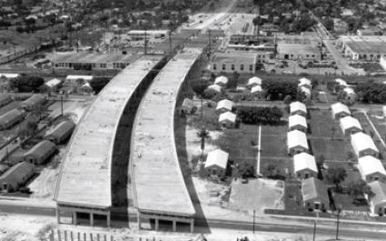
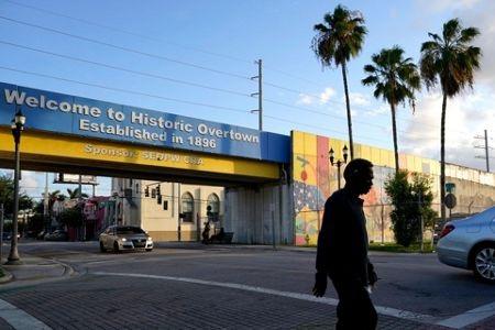
Video: Overtown and the Highway


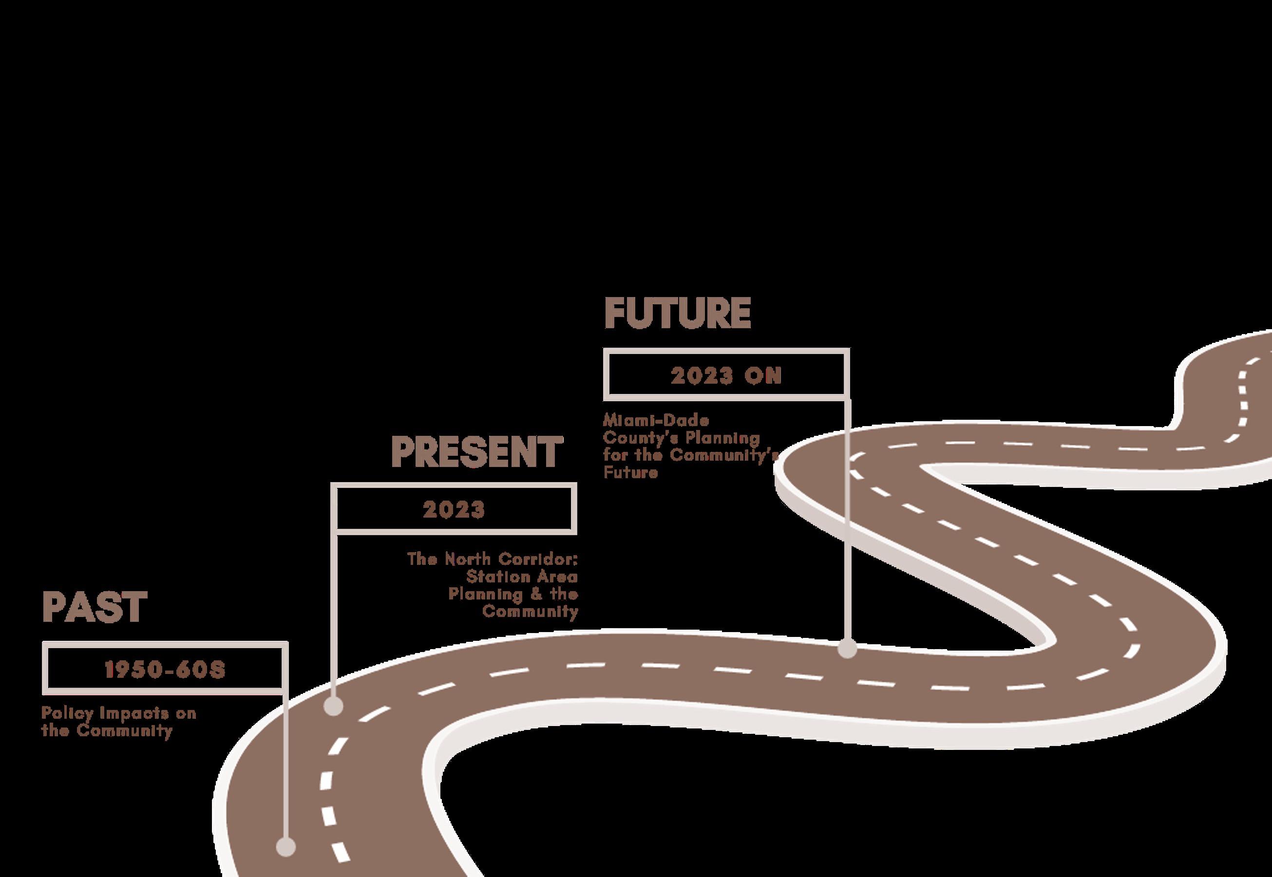
1. PAST: Policy Impacts on Community
2. PRESENT: The North Corridor: Station Area Planning & the Community
3. FUTURE: Miami-Dade County’s Planning for the Community’s Future


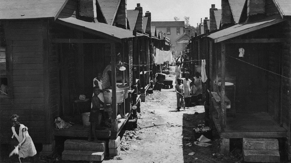
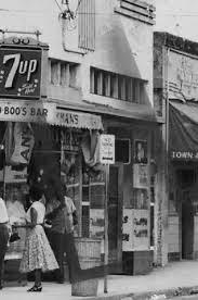
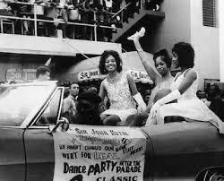
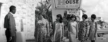

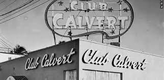
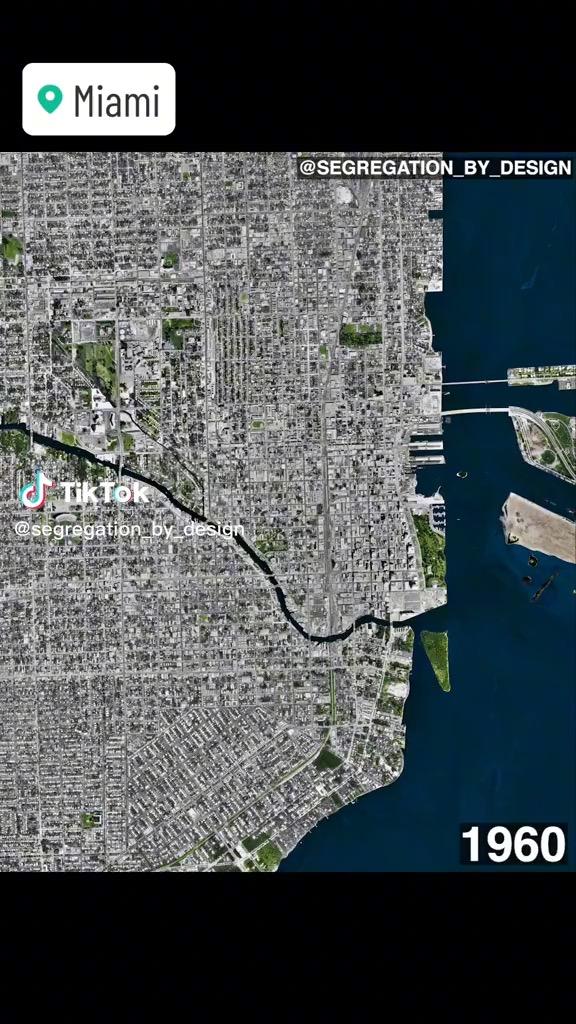
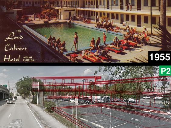
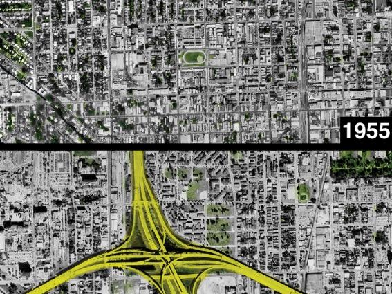

• Part of the County’s adopted Strategic Miami Area Rapid Transit (SMART) Program
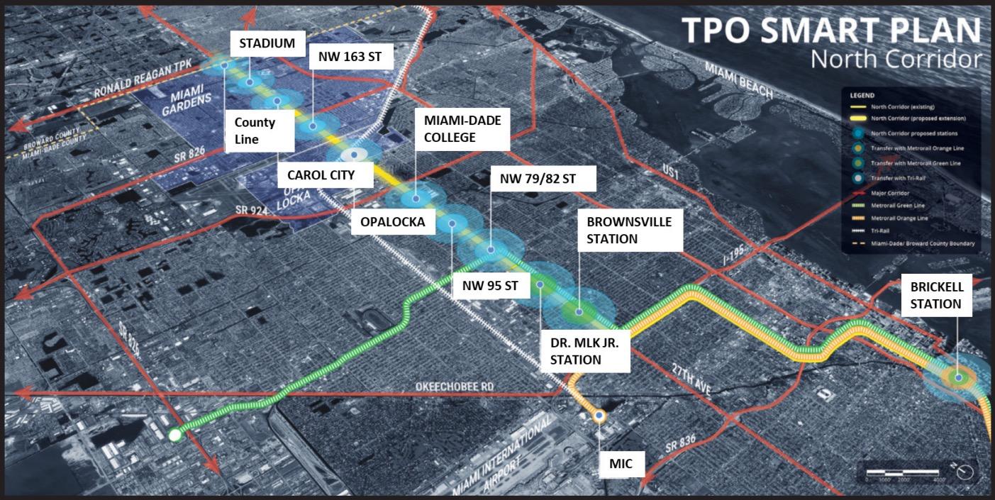

• Stretch of NW 27 th Ave, between NW 62 nd St and NW 215 th St
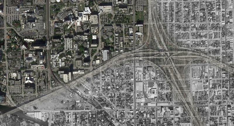
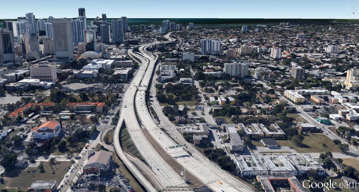
• Runs through the neighborhoods that developed due to dislocation from I -95 construction
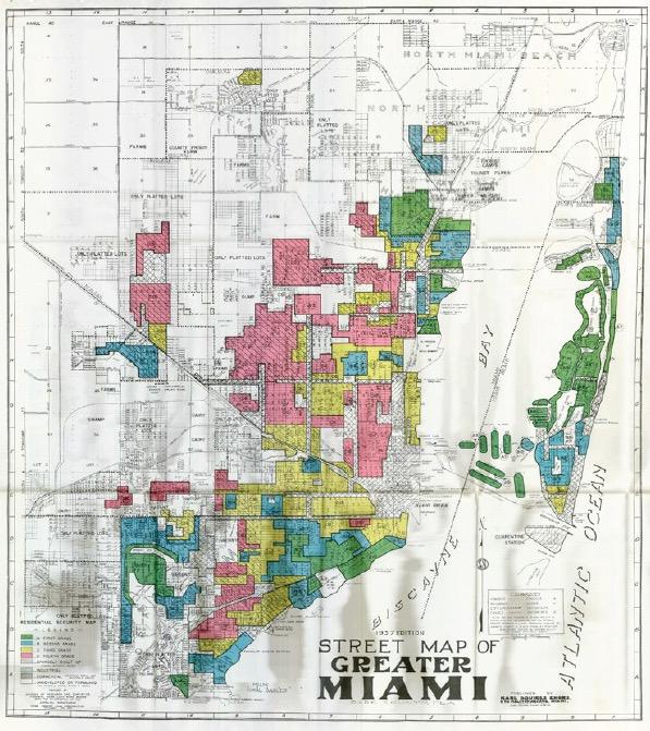
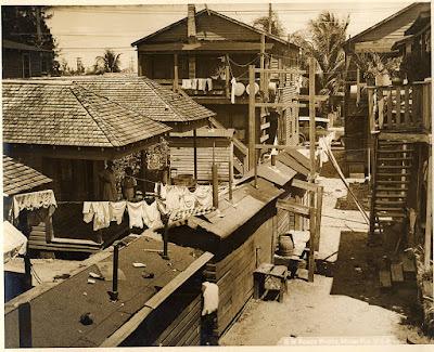
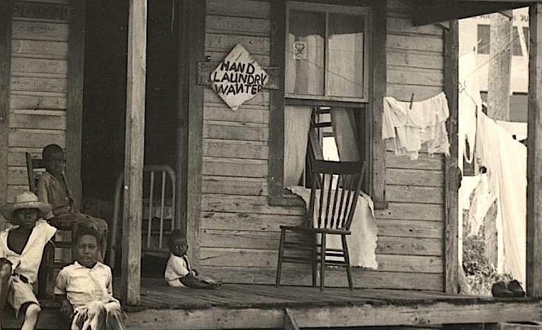
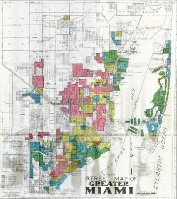
Redlining happened in Miami
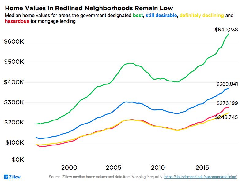
• Generational wealth transferred through home values over time
Home values in redlined neighborhoods being much less than non-redlined neighborhoods
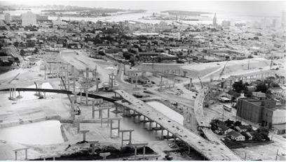
• Implementation of “Negro Resettlement Plan” and “Complete Slum Clearance”
• Decisions for the current location of I-95 were made by white landowners
The result of these policies is visible to this day
• The policies created a place sterilized from society
• Pushed aside, relocated
• Homeownership in these areas is diminimus
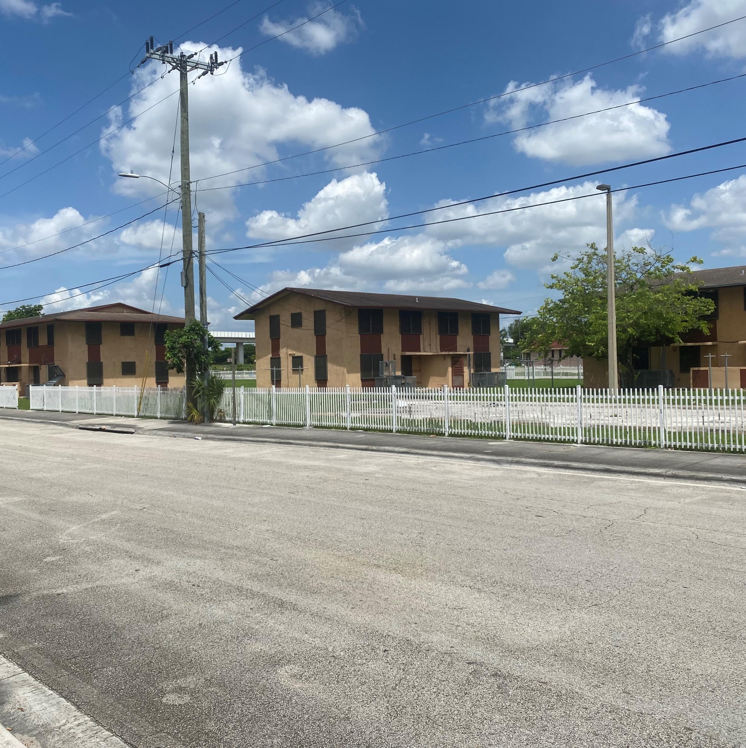
• No neighborhood structure
FHWA’s Project Equity Analysis (STEAP) of the North Corridor
• 83% of the population within ½ mile of the corridor spends >25% of their income on rent
• 34% of households along the corridor do not have access to internet
FDOT Environmental Justice (EJ) Analysis of the North Corridor
• High concentrations of zero-vehicle households in the southernmost and eastern districts
• High concentrations of households with fewer vehicles than workers
• Small clusters of zero-vehicle households near existing transit stations
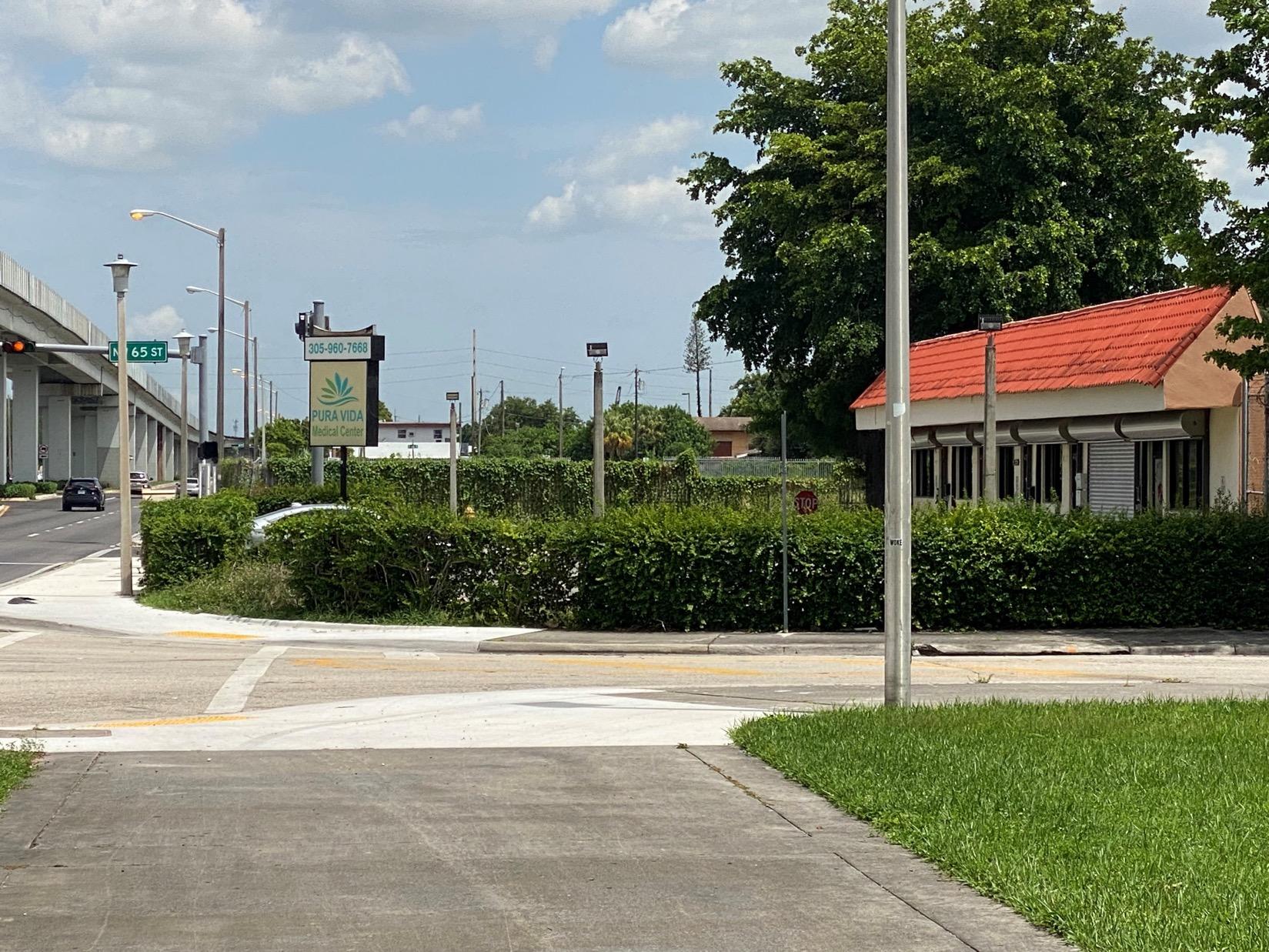
NW 27th Avenue today…
Communities along the corridor represent the same demographic profiles and challenges of those dislocated, with new barriers that did not exist during Overtown’s peak.
• Implementation of the North Corridor will remove transportation as a barrier to opportunity
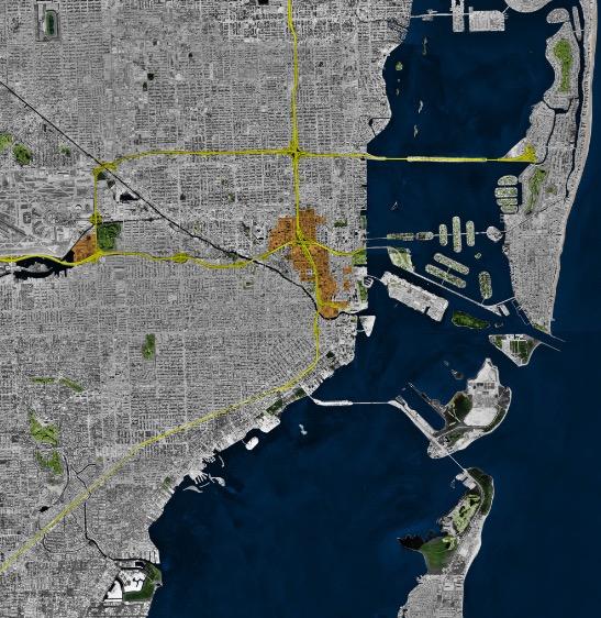
Reconnecting the generations of those displaced by I-95
• Mitigate the challenges caused by the construction of I-95
• Improvements will provide affordable and sustainable transportation solutions for residents and visitors
• Potential for the station areas to be activated
Challenges within the Community today
• Economic Opportunities
• Affordable Housing
• Social Services
• Education
• Access to Transportation Options
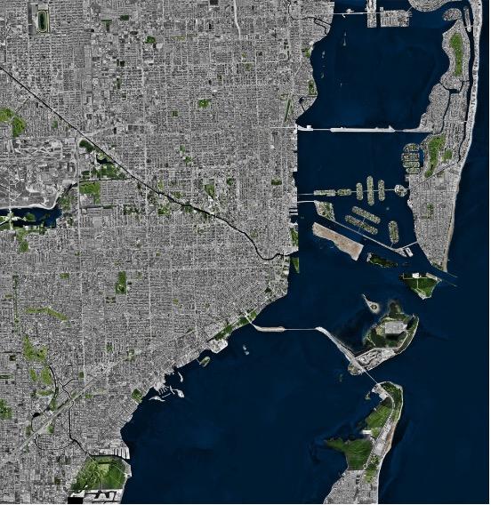
Miami in 1960 before I-95 and urban renewal projects. Miami in 1984. I-95 in yellow; urban renewal projects in orange. Source: The Architect’s Newspaper• Improves access to major activity centers
• Grow an inclusive and sustainable economy
• Allows low- income and transit dependent residences improved access to opportunity
• Local land use and zoning policies are evaluated to determine potential development

• Plans developed through a community driven process
• Consensus can be reached for the vision of a place
• Station Area plans typically used in TOD/TOC planning
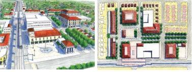
• More intense patterns of development
Additional components may include:
• Real estate and affordable housing analyses
• Water and wastewater analyses
• Bicycle and pedestrian plans
• Corridor master plans
• Civic Spaces
• Art in Public Spaces
• Plenty of Programming
• Station Area Urban Design Guidelines
• Provides a visual representation of the community
• Identifies how stations are a part of the communities
• Creates coordinated design review process
• Promotes a holistic approach to neighborhood building
• Economic Development Plans
• Study benefits of incubators, resilience hubs
• Cost benefit analysis
• Return on Investment KPI’s
• Proposed development scenarios


• Charrettes and design studios help evaluate opportunities around station areas…
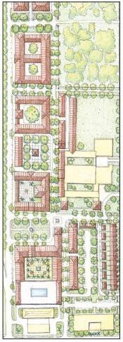
• Implementation of an Incubator program
• Implementation of a Resilience Hub
• Implementation of a Technology Hub
• Identify community Civic Needs
Successful Strategies for Community Outreach
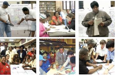
• Develop Community Partnership and Stakeholder Involvement Plans
• Innovative techniques to strengthen public engagement
• Interviews with stakeholders
• Engagement with local grass root initiatives
• Community-based charrettes
• Meetings with potential partners
• “Boots on the ground” approach
• Allocate funding towards supporting local organizations and community agencies
• Programs from engagement to community art projects
• Funding made available to be reimbursable to local organizations and community agencies
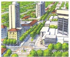
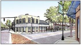
• Programs that can go from community conversation to community art projects
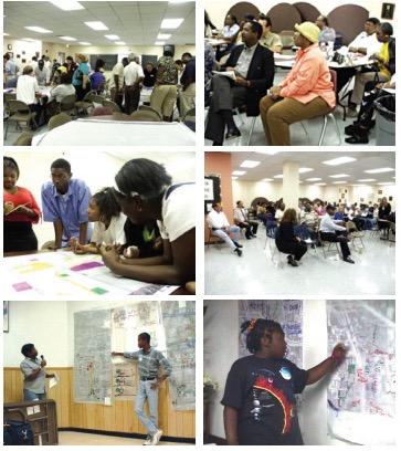
• Community development trend, including a mixed-use of…
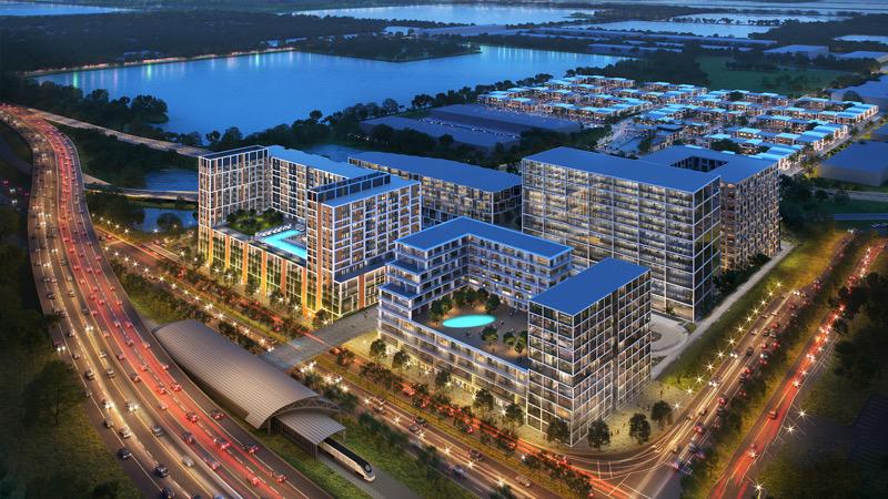
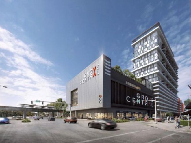
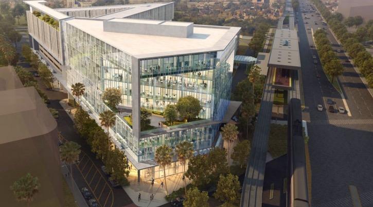
Housing
Office
Retail space
Amenities
Integrated into a walkable neighborhood and located within ½ mile of public transportation
• Provide better access to jobs and housing for people of all ages and incomes
• Help enhance connectivity for area residents and businesses

Leads to safer accessibility to destinations
• Reduce the number of household drivers.
• Lower congestion, air pollution and greenhouse emissions.
• Create walkable communities that accommodate healthier lifestyles.
• Increase transit ridership and fare revenue.
• Expand mobility choices that reduce dependence on the automobile.
• Reduce transportation costs.
Grove Central VOX Miami Palmetto TOC
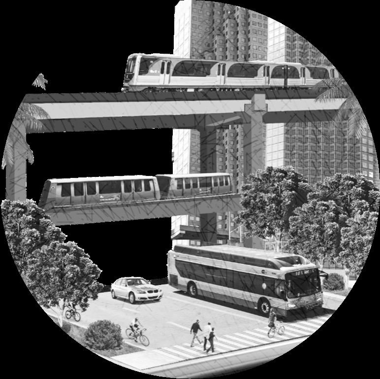
The Miami-Dade County Department of Transportation and Public Works (DTPW) is developing a countywide implementation plan for all transportation projects
The CTMP will serve as an implementation plan for transit, pedestrian, bicycle, freight, roadway, and other transportation infrastructure projects being carried out by MiamiDade County over the next 20 years.

Transportation infrastructure affects your:
Access +


Through the CTMP: Faster project implementation


Safer, more connected transportation network


Closing of gaps in transportation network
Public has a voice in the planning process
Identify gaps in the existing transportation network Move away
Align municipal projects with County projects
County taking on leadership role… Defining public process to plan and understand local needs
Why is the County doing this and how does it help?
Seek to understand local needs
Establish an implementation plan for projects
The County needs an objective and methodical way to prioritize projects; CTMP will do that, and assist with closing gaps in the existing network
Though the Countywide Transportation Master Plan we will develop a project prioritization framework that will set forth specific criteria for each of the modes to prioritize projects.
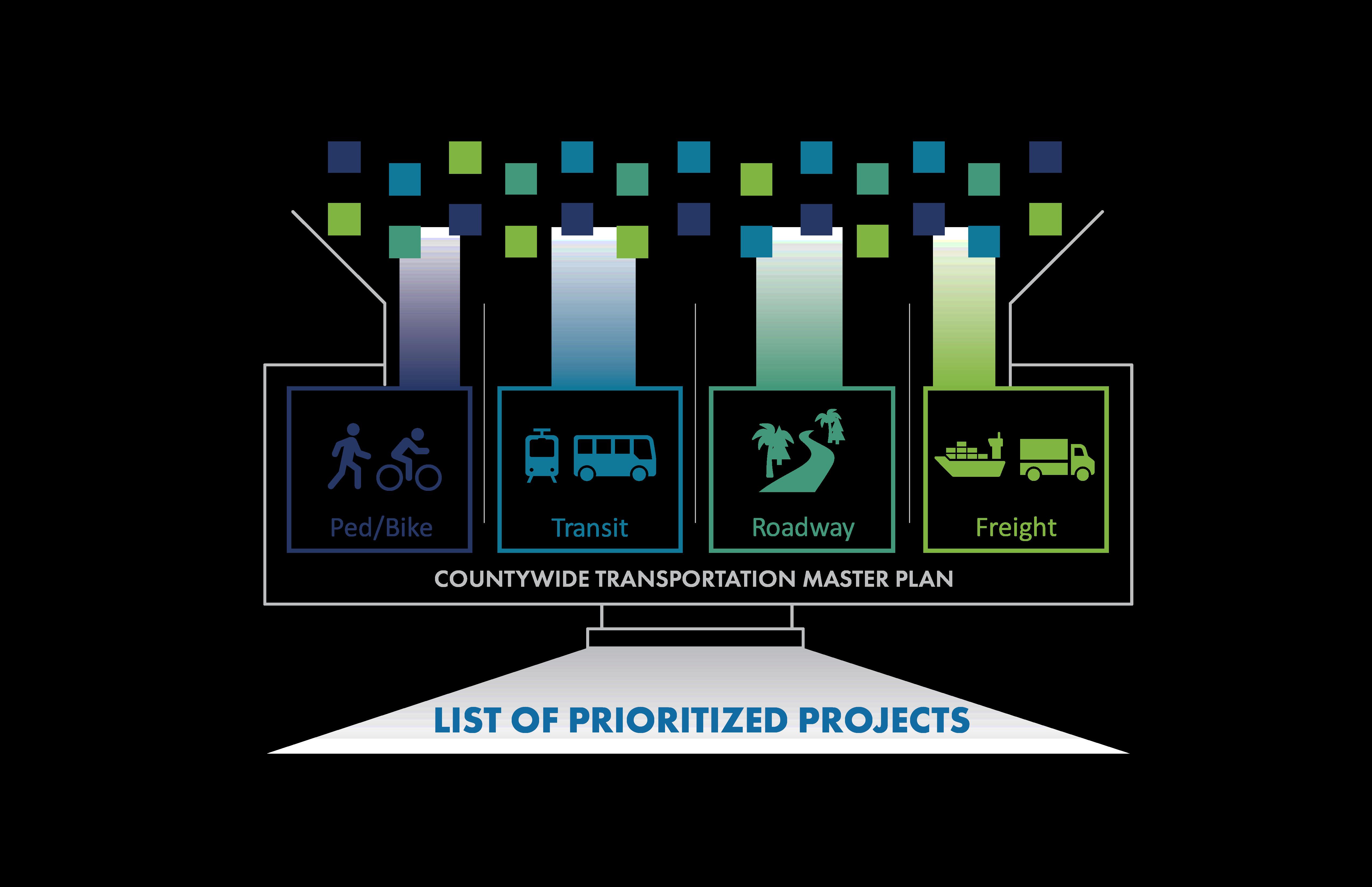
The modal plans will follow a systems approach and consider:
• Safety
• Equity
• Resilience
• Affordable Housing
• Land Use
• Community Characteristics
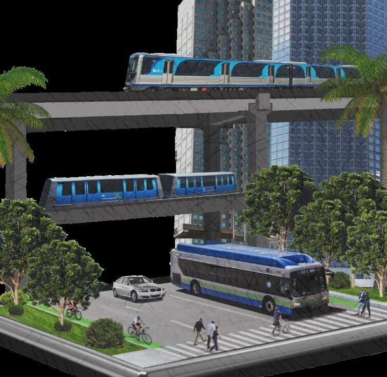

Better prioritization will lead to faster implementation
Secure funding more effectively
Fund/deliver projects quicker


Minimize disruptions for residents
Centering community needs

Questions?
Thank you!
Lisa Colmenares, AICP – Mariaelisa.Colmenares@MiamiDade.gov
Narinah Jean- Baptiste, Esq. – NJean- Baptiste@wsh- law.com
Alyssa Goldberg, MST – Alyssa.Goldberg@exp.com
Francisco Arbelaez, AICP, KEED Green Assoc. - Francisco.Arbelaez@miamidade.gov