
2025 MLA University of Tennessee

I believe our capacity to be good designers heavily relies on our ability to be good community members, to each other and to our ecosystem. I believe the most important influence we make through our industry is through the di erence we make around our home.
I look forward to a career that enables me to explore ecosystem, to educate, and to empower others on the path to a better future, while celebrating what we have today.

2025 Masters of Landscape Architecture Candidate
UTK - Knoxville, Tennessee
Anticipated Graduation: May 2025
2018 Bachelors of Science
Residential Construction Management & Land
Development
Art minor
MTSU - Murfreesboro, Tennessee
ASLA
Professional Development Lead
Coordinating student professional events within the cohort
MTSU Construction Management Advisory Board
Attend meetings biannualy to network with homebuilders and influence educational changes towards sustainable goals. Assisting with marketing material for program success.
MTSU CONSTRUCTION GUEST
SPEAKER
Presenting current land analysis strategies for local developers
Presenting cultural and ecologic analysis methods and tools
Critiquing student competition packages
Judging student capstone presentations
2024 RVI Planning & Landscape Architecture
Summer Internship
Austin, Texas
2024 Knot Studio
Winter Intern Portland, Oregon
2023 RVI Planning & Landscape Architecture
Winter & Summer Internship Orlando, Florida
2022 Tennessee RiverLine
Assistant Designer Knoxville, Tennessee
2020 - CSDG (Civil Site Design Group)
Designer (Contract) Nashville, Tennessee
Auto CAD Civil 3D I Land FX
Rhino I Grasshopper
ArcGIS | QGIS
Revit Architecture
Microstation - Open Roads
Photoshop I InDesign I
Illustrator I After E ects I
Bluebeam Revu
Wood craft
Laser cutting
3D Printing
CNC Routing
MIG Welding
Photography | Propagating
Skateboarding I Hiking
Wood working I Road trips
Sketching
ACADEMIC WORK
1. CHRONICLES & COMMUNITY
REGIONAL STUDIO 5 - 8
2. CLEARFORK CONSERVATION CORPS
ACADEMIC WORK 9 - 12
COMMUNITY DESIGN STUDIO
3.
4.
ACADEMIC WORK 14 - 17 ARTESANIA
BMA CROSSDICIPLINARY STUDIO
ACADEMIC WORK 18 - 19 TENNESSEE TERRACES
GRADING AND DRAINAGE
5. EDWARDS PLATEAU OFFICES
ACADEMIC WORK 20 - 21
DESIGN THEORY 2
PROFESSIONAL PRACTICE
6. WILLAMETTE COVE PARK
22 - 23 KNOT STUDIO
PROFESSIONAL PRACTICE
7. TENNESSEE RIVERLINE
UNIVERSITY OF KNOXVILLE
24 - 25

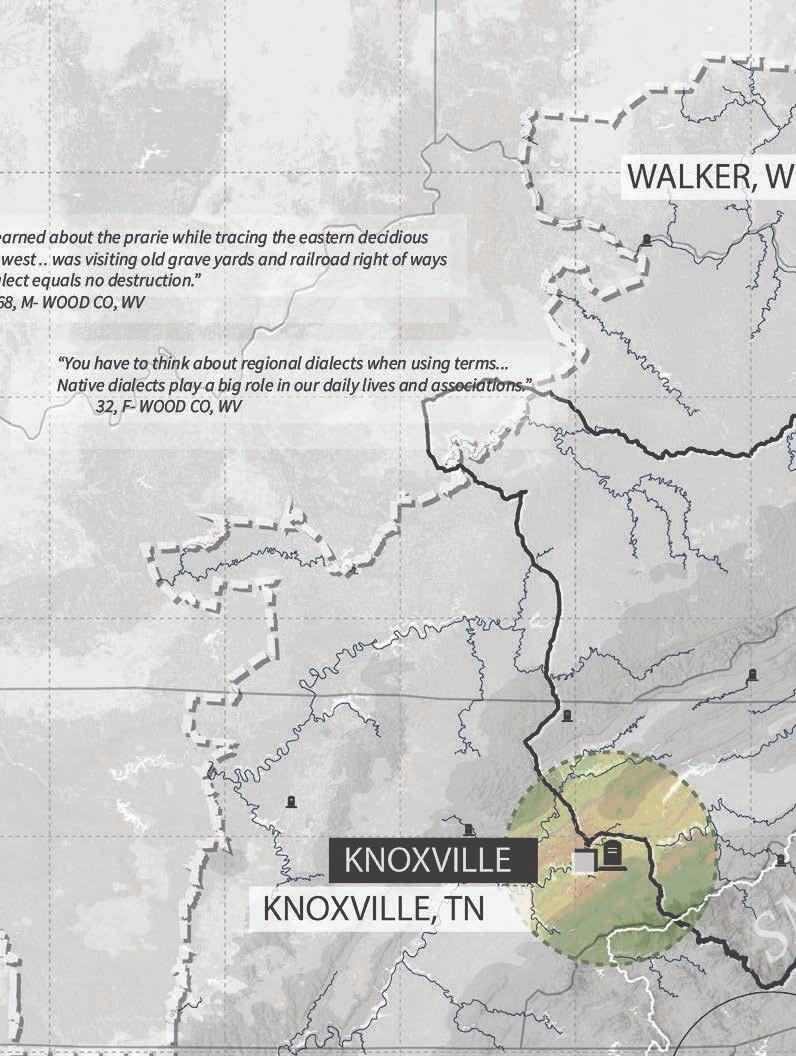
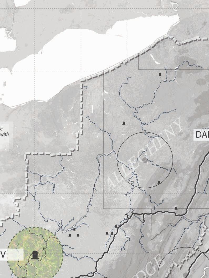
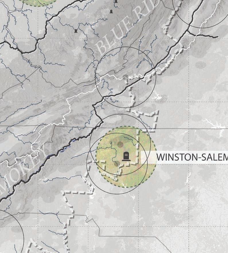
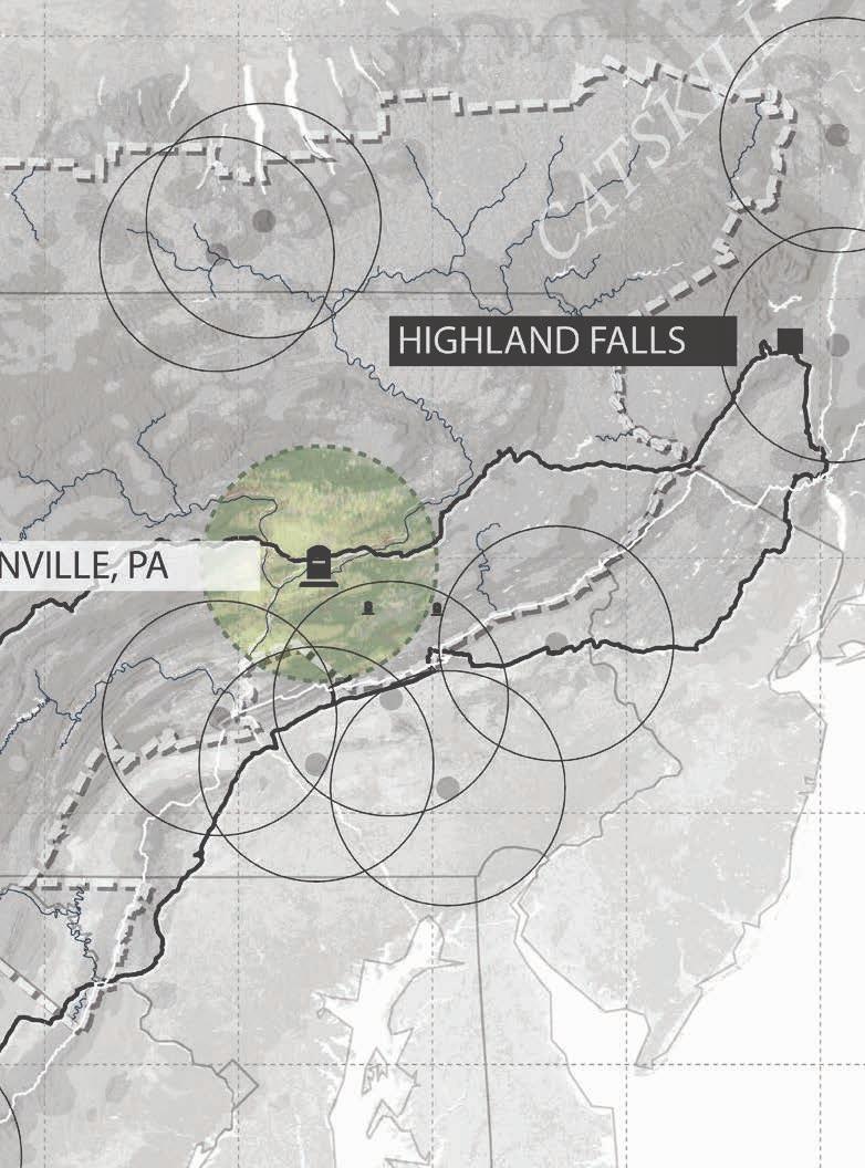
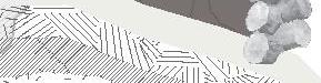
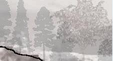
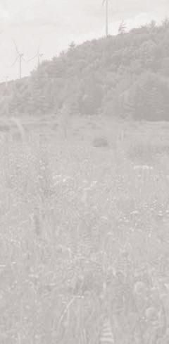
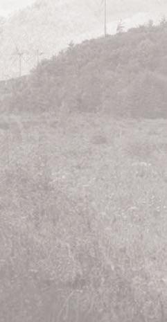
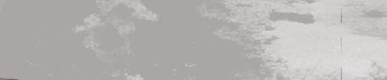
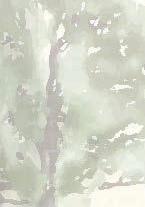
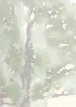
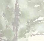
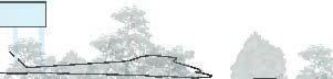
Studio: Regional Studio Faye Nixon & Chad Manley
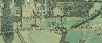
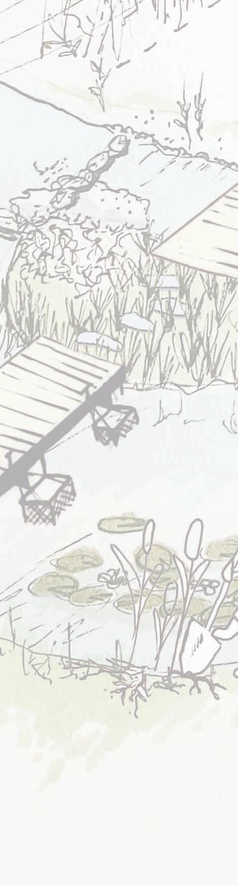
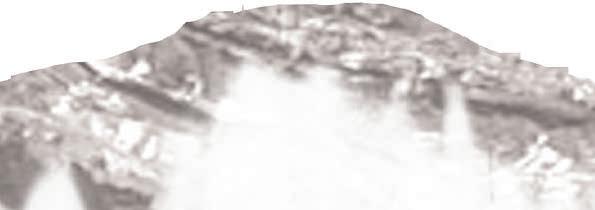
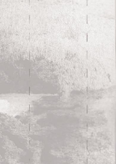
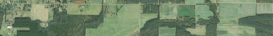
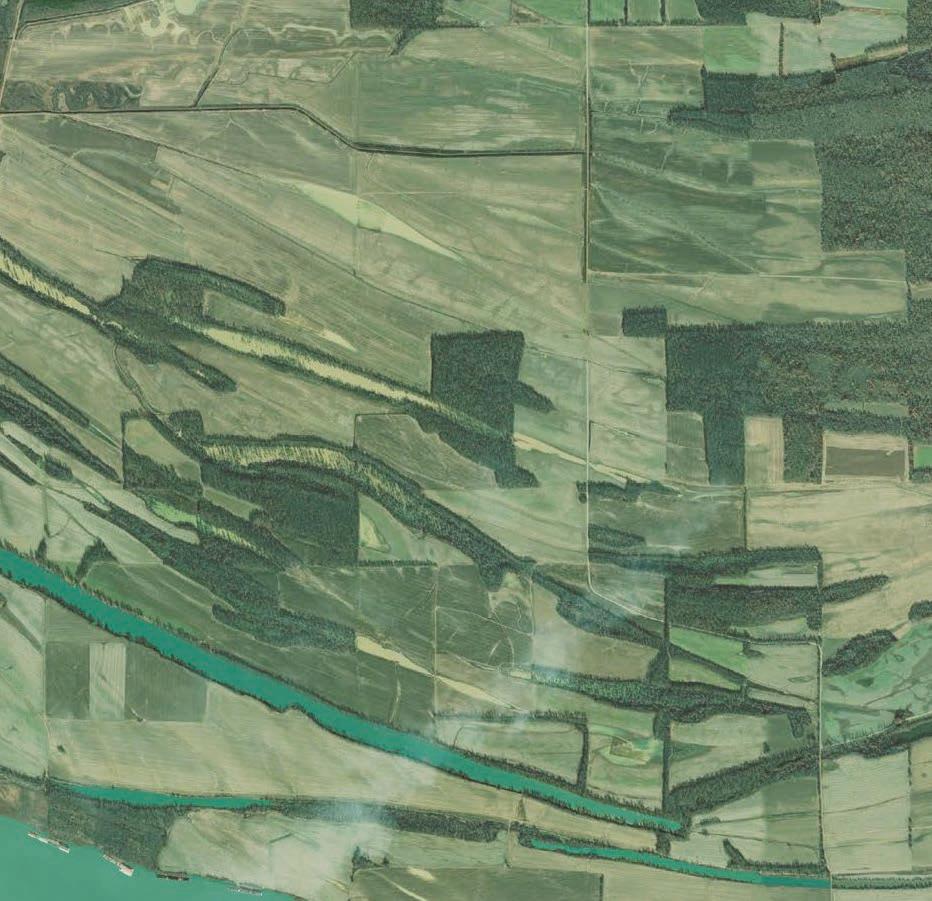
Location: Appalachia
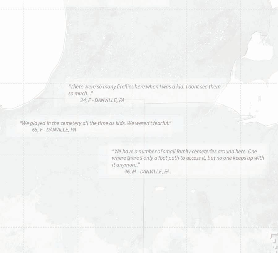
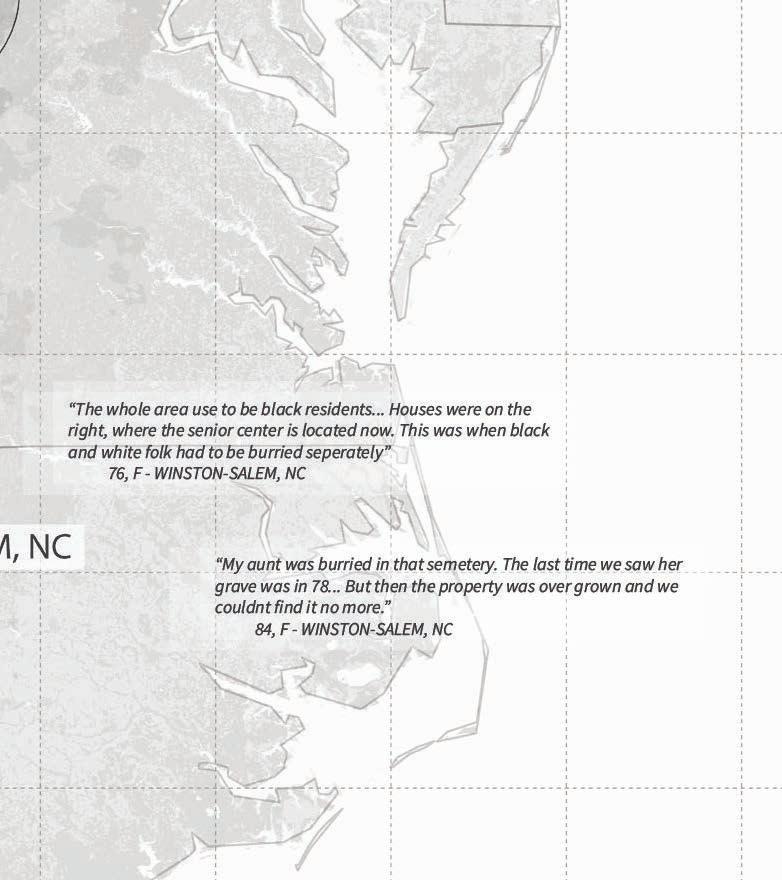
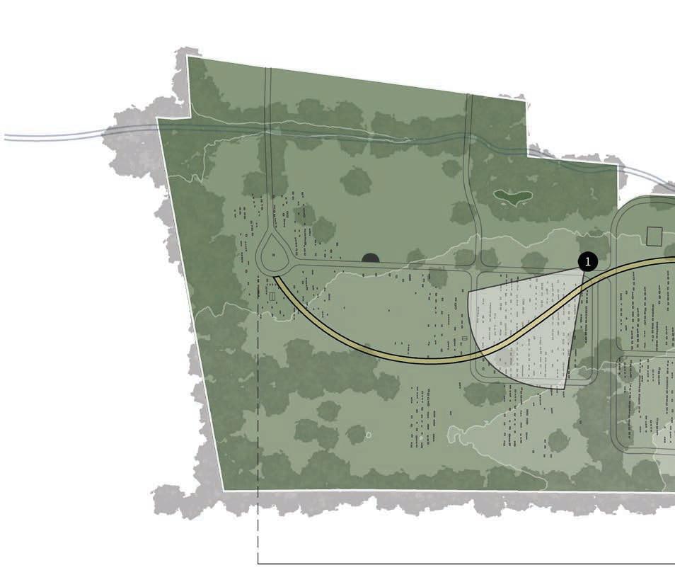
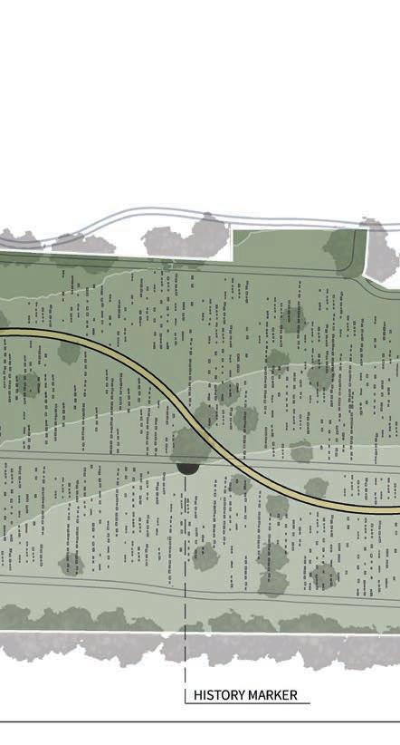
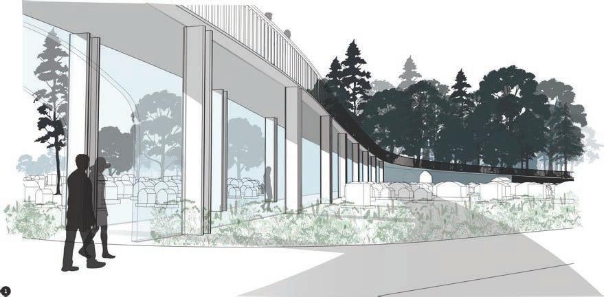
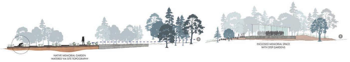
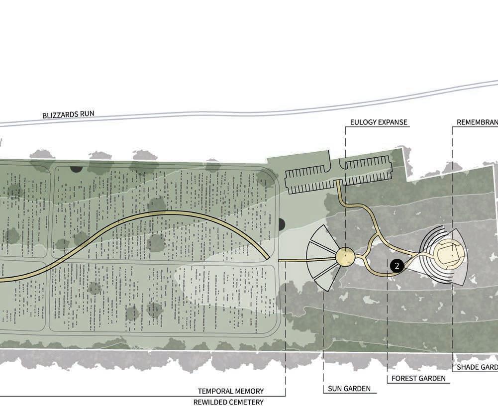
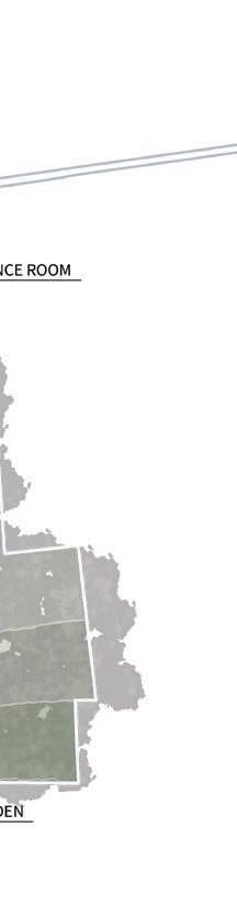
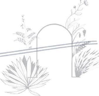
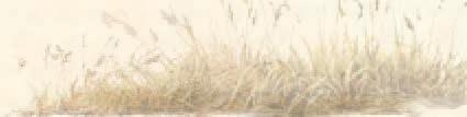
Our studio set out on a 9 day road trip from Knoxville, Tennessee to the Catskill Mountains of New York to grasp a deeper understanding of what defines the Appalachian region geographically and culturally. Touring re purposed industrial relics, visiting native nurseries, visiting crafters, and hiking parts of the Appalachian Trail.
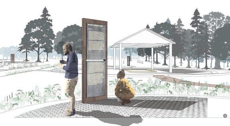
We were given free exploration into what caught our attention most. For me, it was that Appalachia held more private cemeteries than any region in the world. With traditional burial practices becoming less common, I imagined what cemeteries may look like for communities going forward. Retaining and respecting history, but reintroducing celebration as a community unifier, wherever our futures take us.
Programs: ArcGIS, Rhino, Grasshopper, Adobe Suite
Crafting: Wood working, sketching, and podcasting


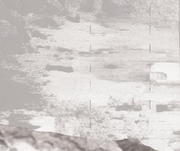
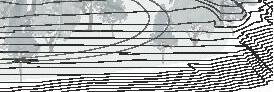
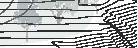
STUDIO: TENDING CHAOS - SCOTTIE MCDANIELS
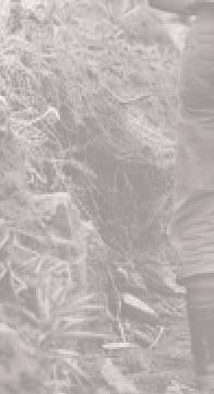
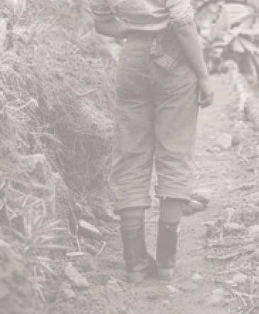
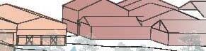
Location: Eagan, Tennessee
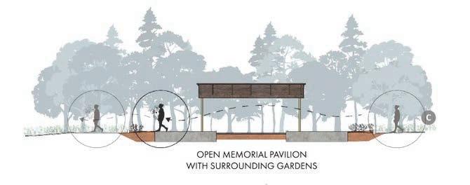
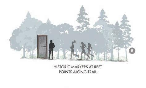
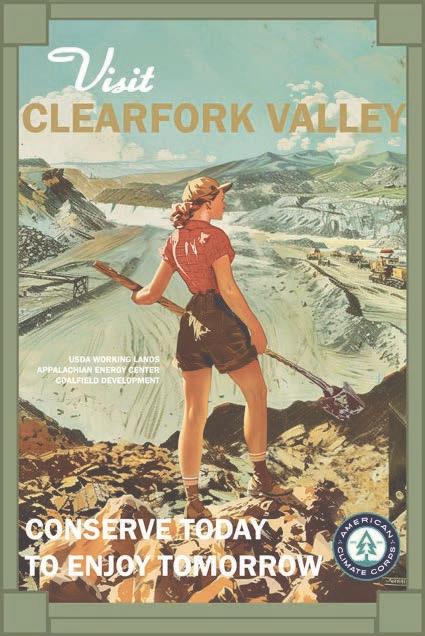
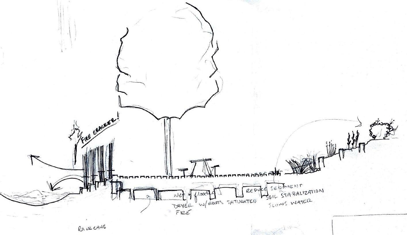
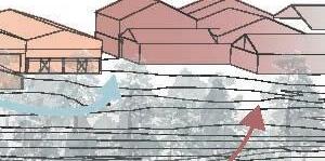
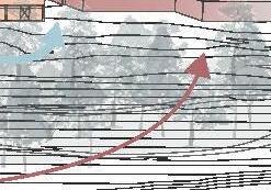
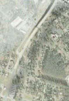
The Clearfork Valley is a post-coal community in rural east Tennessee vibrant with community characters that are passionate about revitalizing their aging small community, and to show youth its a place worth living. Characterized by it’s mountainous topography, weaving railroad right of ways, and abandoned coal seams cutting through the hills, the lack of financial investment is posing threats to the neighboring properties and waterways with erosion and acid mine drainage.
Clearfork Conservation Corps is a study of the Biden.Harris administrations implementation of the American Conservation Corps in post coal communities. My project focused on three lenses of investment, education, and ecologic revitalization as community builders. Poetry,photography, and writing were strong tools used for idea generation, Programs: ArcGIS, Rhino, Grasshopper, Midjourney AI, Adobe Suite
NARROW AND UNEAVEN SOIL
HORIZONS CREATE UNCERTAIN GROWTH PATTERNS. BY USING ON SITE AND SURROUNDING TIMBER
HARVEST REJECTS, MAKESHIFT
RETENTION WALLS CAN BE BUILT, LINED, AND FILLED WITH COMPOST FROM THE NEIGHBORING FACILITY.


FILLING BEDS WITH FRESH COMPOST FOR ENRICHED AND DEEPEND SOIL HORIZONS


BARNS CAN ALSO BE USED AS AGRICULTURAL LEARNING LABS FOR TEACHING NEW GARDENING AND HARVESTING TECHNIQUES.


BARNS USED FOR HANGING HEMP AND HOLDING PRODUCE FOR PICKUP WILL BE DRIVEN DOWN THE HILL TO THE RAIL TRACKS FOR TRANSPORTATION AND DISTRIBUTION. PRODUCE CAN BE PURCHASED ON SITE WHOLESALE.


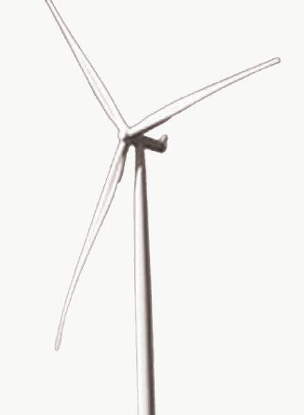


CLIMATE CORPS


BEGINS SUSTAINABLE ENERGY ECONOMY BY FUNDING GRID-LINKED,
CONNECTED BY TRADITIONAL OVERHEAD CATENARY, PASSED THROUGH ON SITE TRANSFORMERS, AND INTO THE NATIONAL GRID TRANSMISSION NETWORK.


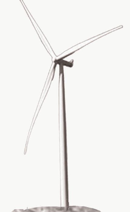
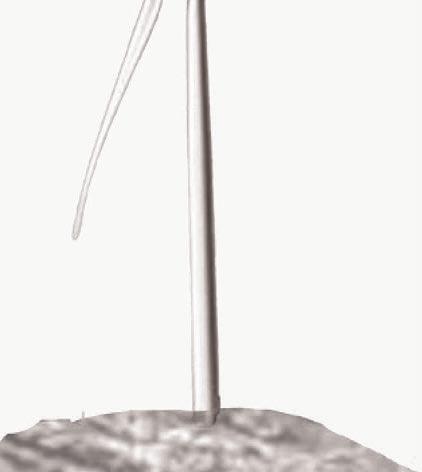
CLEARINGS FOR TURBINE INSTALLATION PROVIDE SEAMLESS CORRIDOR NETWORK.
PERFECT FOR
LOW-COST GRAVEL OR PINE MULCHED TRAILS.


ESTABLISHES WORKING LAND LAB DEDICATED TO NO-TILL, FORMER TIMBER HARVEST OPERATION.
NOT ONLY CREATING JOBS IN FARMING, PROCESSING, AND DISTRIBUTION, BUT THE NO-TILL FARMING APPROACH HELPS PRESERVE SOIL HEALTH AND BIODIVERSITY, WHILE MITIGATING EROSION AND RUNOFF.


REMAINING CANOPY STRIPS ACT AS WIND BREAKS AND LANDSCAPE DIVIDERS, CREATING ROOMS FOR GROWTH PORTFOLIO DIVERSIFICATION.


STRIPS PROVIDE ECOLOGIC CORRIDORS FOR PROTECT STEEP SLOPES FROM EROSION


TRANSITION TRACTS CONSIST OF LOW-GRADE TO LEVEL GROUND, BENEFICIAL IN EFFICIENT DITCH TRANSPORT OF WATER RUNOFF TO UNDERGROUND CISTERNS.


BENEFICIAL AS SUPPLEMENTARY MEADOW CONDITIONS FOR POLLINATION DIVERSITY.


EXISTING 22’ GRAVEL ROAD WILL BE UTILIZED FOR TRANSPORTING CROPS TO DISTRIBUTION AREAS, AND FOR COMMUNITY RECREATIONAL USERS.
PARKING AREAS WILL ALSO BE PROVIDED ALONG THE EXISTING ROAD WAY


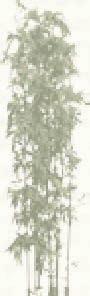
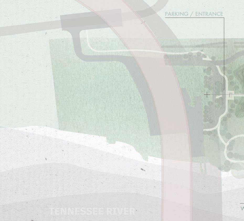
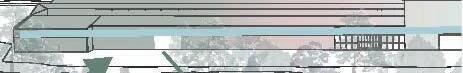
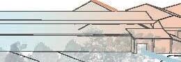
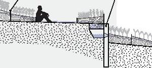
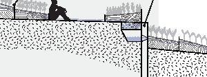
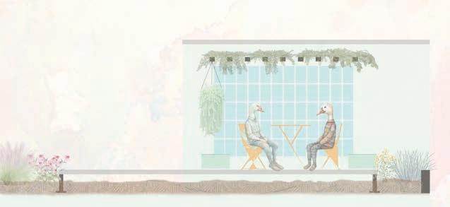
Studio: BMA Cross Disciplinary Studio - Javier Sanchez & Aisha Ballesteros
Location: Knoxville, Tennessee
The Tennessee River has long been a backdrop to much of the state’s industrial history. Today, its aging and abandoned infrastructure along the river’s edge offers new opportunities to reconnect communities with water, our shared and vital resource.
In East Knoxville, the General Shale brick factory, built in the 1940s and now abandoned, provides a unique chance to transform into a cultural craft center and regional hub. Beyond teaching craft, this space emphasizes transparency by incorporating site-sourced materials into finished products, weaving a tangible link between craft and the local ecosystem. Each resource reflects the river’s floodplain, underscoring its ecological significance.
At Artesania, the craft process becomes a narrative of our connection to material and environment, creating a landscape that is not only sustainable but educational.


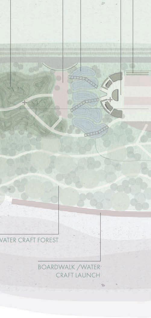

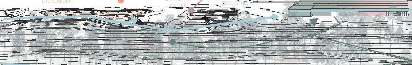
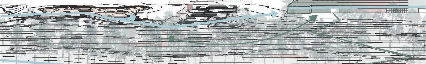
BOARDWALK

COMPOST RECAPTURE


MOUNDS ARE ORGANIZED WITH BOTH PROPAGATED AND DISTURBANCE SPECIES FOR FABRIC DYE EXTRACTION. SOME DYE MAY ALSO BE USED FOR POTTERY GLAZE AND WATER CRAFT STAIN.
EXCESS MATERIAL WILL THEN BE INTEGRATED INTO THE ON-SITE COMPOST FACILITY.

REGRADED HILLSIDE RESEWN WITH WATER CRAFT RELATED SPECIES; RED CEDAR, RED MAPLE, BLACK LOCUST, AND BIRCH. SOME SPECIES BARK AND FRUIT MAY ALSO BE HARVESTED FOR PLANT DYE.


TIMBER AND RIVER CANE HARVESTED ON SITE WILL BE USED TO CREATE POD FURNITURE IN ADDITION TO CLASSES REFURBISHING EXISTING FURNITURE. REMAINING RIVER CANE STALKS WILL BE BURNED AND RELATING CHAR WILL BE REINTEGRATED INTO THE POND SYSTEM


POTTERY CLASSES ON SITE WILL INCLUDE HUNTING, HARVESTING, AND PROCESSING WILD CLAY ALONG THE FLOODPLAIN OF THE TENNESSEE RIVER.
SOIL FROM REGRADED HILLSIDE WILL BE INTEGRATED INTO COMPOSTING SYSTEM FOR PLANT MOUNDS.
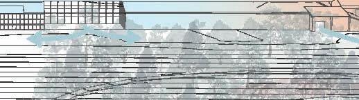


THE SITE OFFERS MULTIPLE OPPORTUNITIES FOR CRAFT AND SYSTEMS LEARNING, GROUNDING PEOPLE IN THE APPALACHIAN REGION THROUGH EXPERIENCE. BUT ALSO ALLOWS FOR A HUB FOR MAKERS, STUDENTS, AND COMMUNITY MEMBERS WHO ENJOY REGIONAL CULTURE.
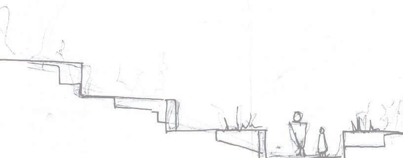
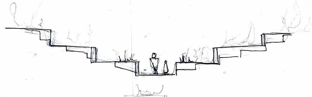
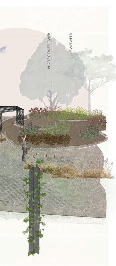
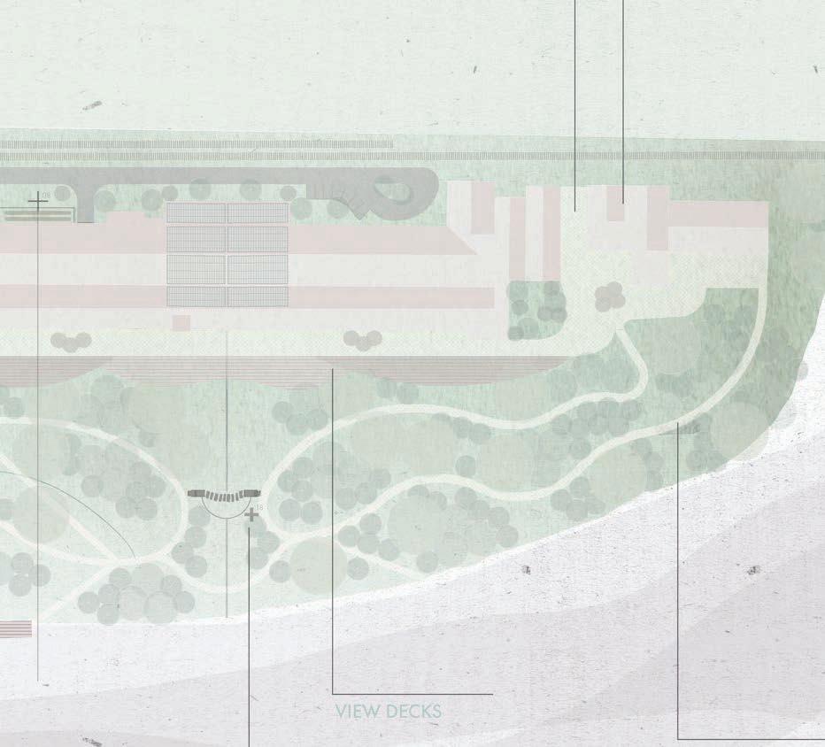
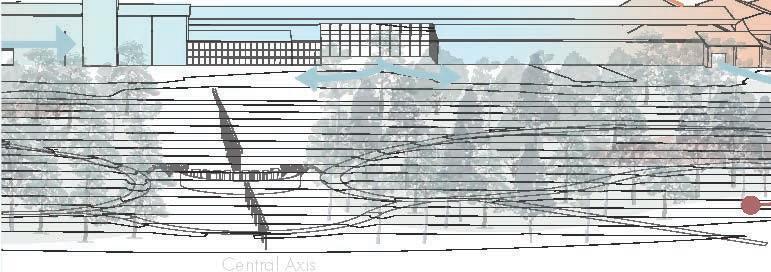
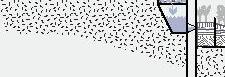
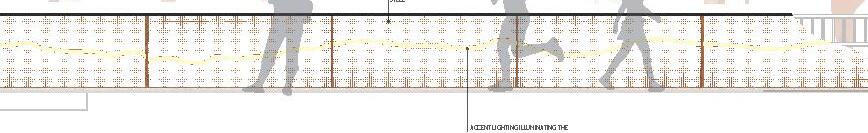
Location: Knoxville, Tennessee
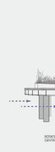
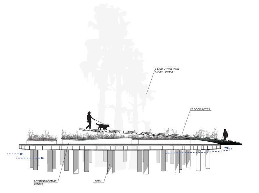
Grading & Drainage Study
With a background in civil design work, I took time to deep dive into using drainage as a tool for capture and program. I made ecology the central performance of this floating amphitheater, and designed a rotating platform powered by the rivers current. I also imagined how water might be stored and captured under each level for watering during periods of drought.
Programs: CAD Civil3d, Rhino, illustrator


825.8’
830.1’


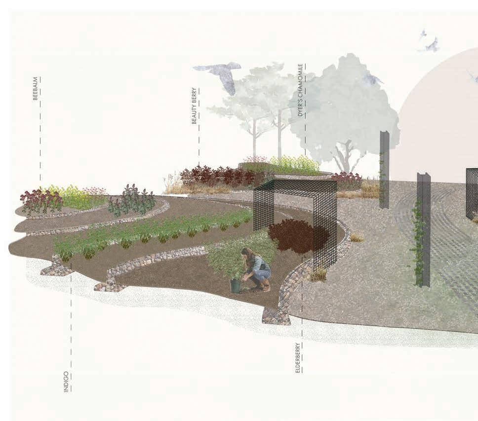
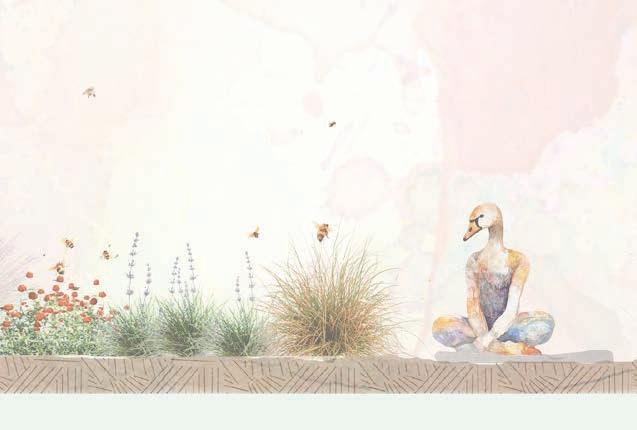
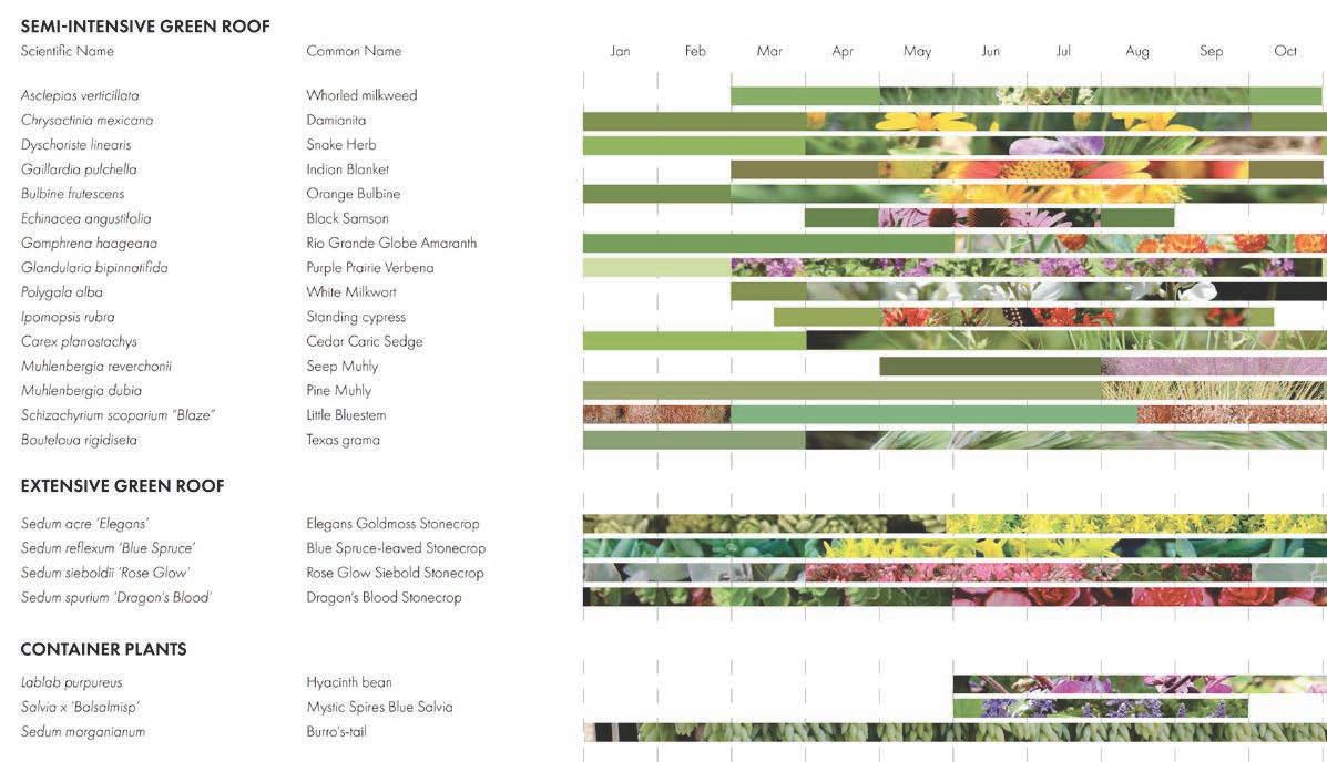
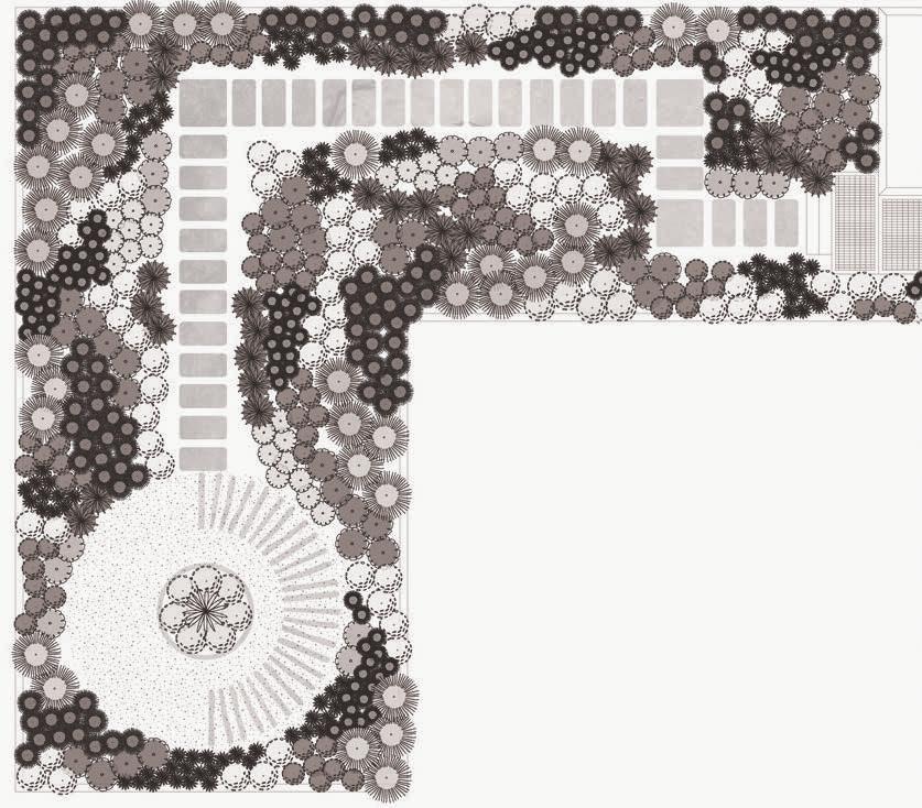
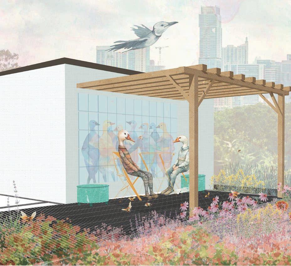
Semi-Intensive / Extensive Green Roofs
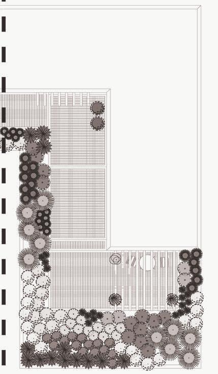
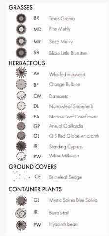
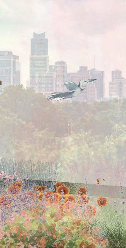
Location: Austin, TX
While many cities have pollination pockets, we struggle to create biodiverse ecosystems necessary for our more than human communities. My goal for this exercise was to better understand the Edward Plateau ecoregion located in central Texas along with spontaneous prairie conditions of which species would benefit in proximity.
Anticipated project goals included researching construction of green roofs, sourcing soil and plant specifications, drafting relevant plans and details, and modeling/rendering illustrative views and sections for more detailed understanding.
Programs: Photoshop, Illustrator, InDesign, CAD, LandFX, Rhino
ECOSYSTEM STUDY
Location: Portland, Oregon
One project I assisted with during my winter internship in Portland was with the Willamette Cove River Park. I was able to pull topographic LiDar and digitally render the project site as well as source two local bridge files for the 3D model. We focused on Salmon and Pacific Lampry as these were indigenous specific species used in cultural practice.
I also aided in conceptual sketch and renders for a local municipalities pedestrian rail design that celebrated the passing creek. We discussed narrative and educational opportunities that highlighted the surrounding ecosystem as it was a tributary to the Willamette River.
Project lead: Michael Yun, PLA
Jonathan Beaver, PLA, CLARB


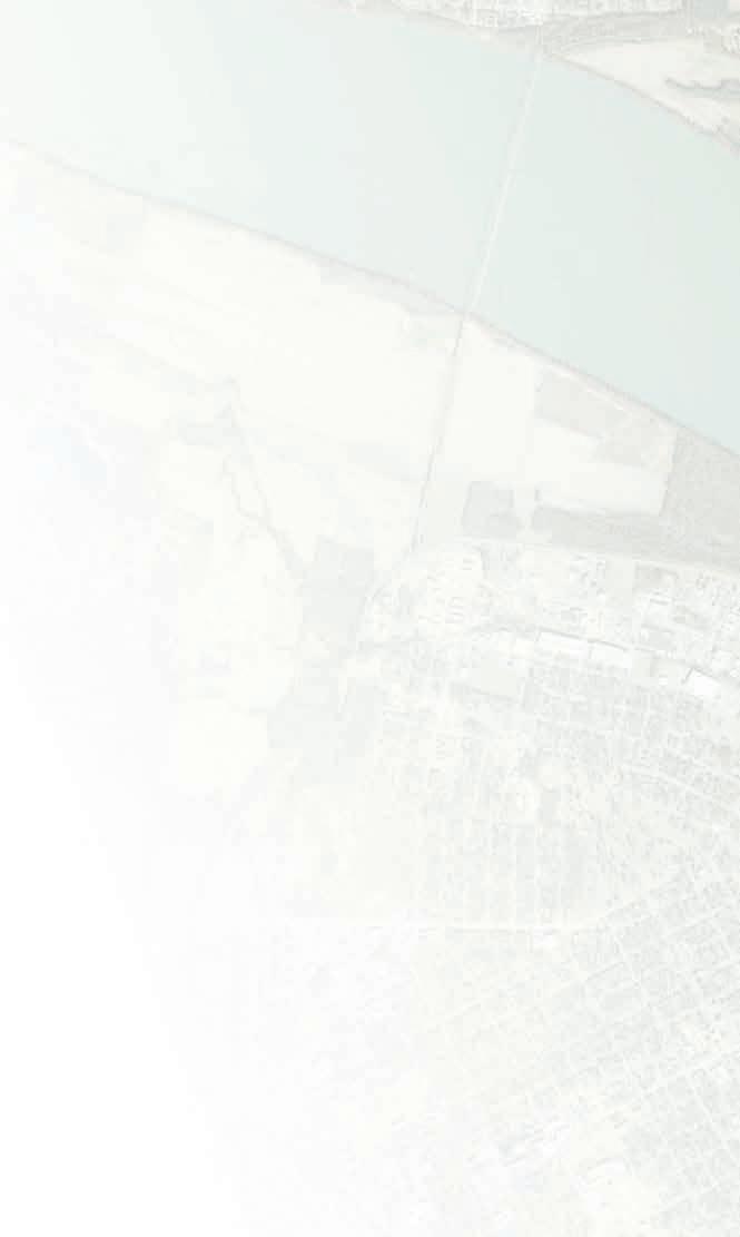
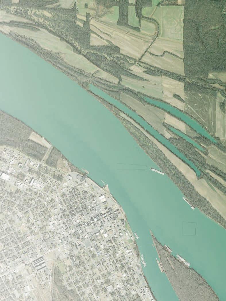
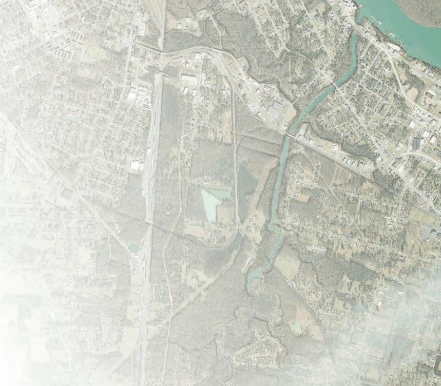
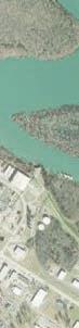
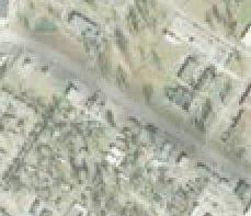
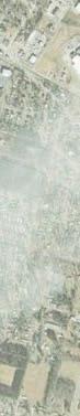
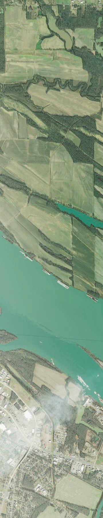
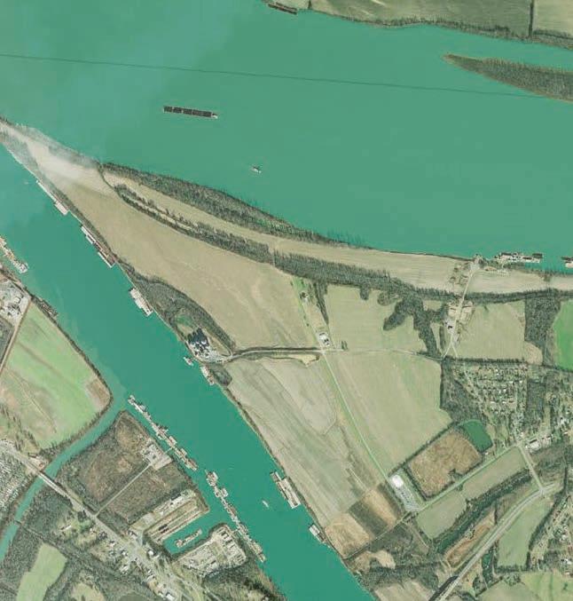
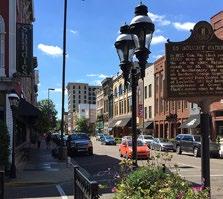
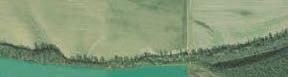
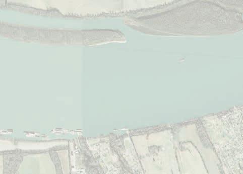
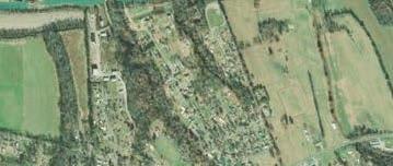
Regional Activity Maps
Location: Paducah, Kentucky
Americas next great regional trail system, the Tennessee RiverLine links communities along the river from Knoxville, Tennessee to Paducah, Kentucky. All 652 miles are water pedestrian navigable with 8 locks managed by the Tennessee Valley Authority.
In its Community Planning Initiative phase, we wrapped up the reporting and priority place making project selection for each community, rounding out the year with the conceptual design inventory & charrette, and moving into phase 2 of planning for each community.

I assisted in collecting data from each community, pulling shape files and information, rastering DEM files to create shaded relief maps for our current and next phase of design. I have also been able to help with internal planning document organization, community reports, and website design research for gathering community public input.


This is a huge undertaking from the small team that makes up the Tennessee RiverLine Organization, but it is largely rewarding to the school and the communities that will benefit from this plan for years to come. I’m appreciative to have been a part of a team that is shaping relationships between pedestrian and commercial transportation, local economies and culture, and place making.


S.3rdSt


Project lead: Brad Collett, PLA, LEED, CLARB Patrick Osborne, PLA


Dec 1st, 2022
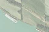
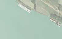
Local Points of Interest for Potential Bike & Pedestrian Connectivity
1. Clarks River Boat Launch
2.River Discovery Center
3.Levee Wall & Riverfront Landing
4.Transient Dock & Riverfront Greenway
5.Ohio River Boat Ramp
6.Historic Downtown Paducah
7. Raymond C. Shultz Park
8.Kincaid Mounds
9. Fountain Avenue Health Park
10. Bob Noble Park
11. Stuart Nelson Disc Golf
12. Rowlandton Mound Archaeological Site
Sub-regional Points of Interest for Bike & Pedestrian Connectivity (off map)
1. Whitehaven Welcome Center 2.Cretaceous Hills Nature Preserve 3.Fort Smith Historic Site 4.Gower House Historic Site
5.Fort Massic State Park 8