2 minute read
Island Life


Fifth-graders get to work creating new island environments
Imagine that a new island has formed in the middle of the ocean and you’re tasked with designing its purpose and use. What kind of ecosystem might inhabit it? Who should get to live there? What industry might it support? This was the hypothetical problem fifth graders were recently tasked with solving.
The fully-integrated project brought together many strands of the curriculum with a focus on collaboration, one of the key competencies in ASIJ’s Portrait of a Learner. “Our goal was to help students improve their interpersonal and team-related skills, as well as to help them with managing team dynamics and challenges,” says teacher Laura Faulk. Students began by designing individual models of their islands before forming groups to bring their designs together into a final concept. They then created 2D map drawings on a coordinate grid to plan their islands. Using the concept of scale, students used these drawings to transfer their design to the large cardboard coordinate grids that they then built their islands upon. Students worked in the Creative Arts Design Center with design technology teacher Hardi Fichardt, using many different design tools, including the laser cutters and 3D printers, to create their islands. Of course, a lot of cardboard, paint and hot-glue were also put to use.
Students designed 3D models for buildings using Tinkercad in the
Creative Arts Design Center
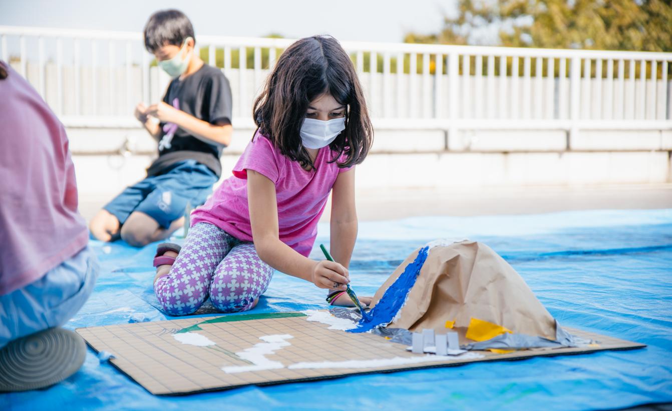
Islands were planned out by drawing maps to decide the location of important features

Students built the bases of their islands out of cardboard and paper, then painted
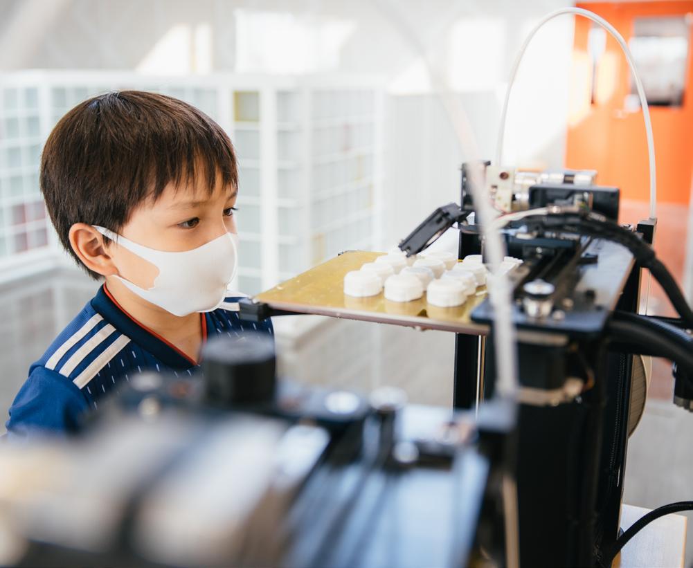
over them Some projects included 3D-printed elements such as houses and other buildings

Students also had to create plans to protect the island from natural disasters, such as typhoons and flooding, by drawing on what they’d learned through their Earth Systems unit. Energy needs and ecosystems were also considered and integrated, as students researched geographical features and biodiversity in order to create ecosystems and food chains on their island that would make sense. Students used Newsela articles, websites, and videos to gather information and then wrote an island protection plan to keep their residents safe.
In the culmination of the project, an exhibition of each group’s model allowed students from other classes, teachers and administrators to see the realization of their ideas. QR codes on the models directed visitors to the presentations that detailed the choices each group had made and provided further information.
Each group prepared their island to be shown off in front their peers and teachers. Some groups presented outside to help with social distancing.

Each island included a QR code that could be scanned to reveal additional information

The QR codes led to presentations with detailed

explanations of each group’s island