3 minute read
Harrisburg University –Drones for Research and Aviation Career Exploration


By Albert Sarvis, Geospatial Technology Degree Program Lead
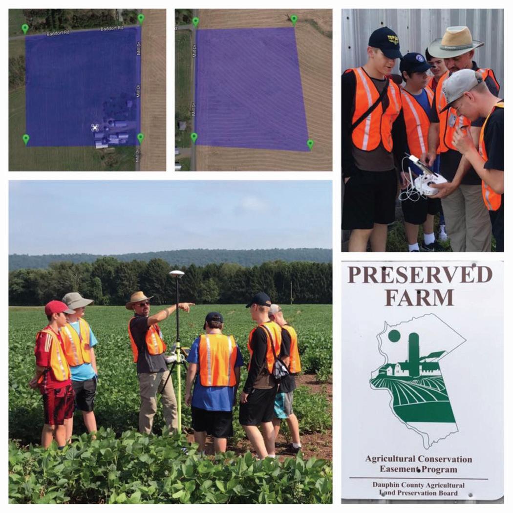
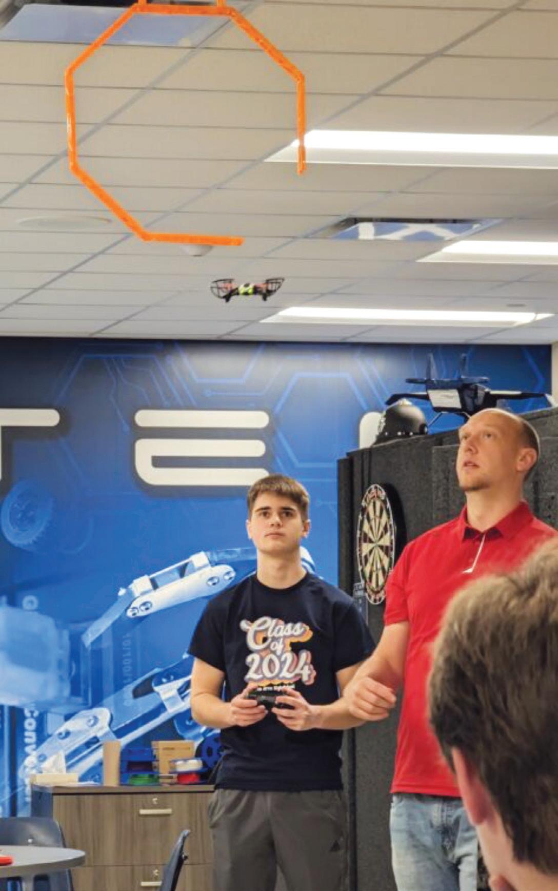
Since 2016 Harrisburg University (HU) has been using drones for aerial imagery and mapping. Through HU’s Center for Applied Environmental and Geospatial Technology (CAEGT) faculty and students have used numerous airborne sensors to conduct research ranging from Wildlife Biology population studies using thermal cameras, Archaeology studies to document ancient landscapes, and Agricultural optimization efforts carrying multispectral sensors aloft over crops in Central Pennsylvania. While the use of drones began as focused research tools the skills and methods developed through that research have been applied to commercial operations for clients of CAEGT and independent student projects.

Encouraged by the interest our university students had in learning how to use drones for numerous disciplines represented by our degrees, such as Environmental Science and Forensics, faculty pursued an internal Presidential Research Grant to build an FAA Remote Pilot Certification preparation course. During the development of that course HU also applied for, and received, a Federal Aviation Administration (FAA) Aviation Workforce Development grant. Through the FAA Grant the Remote Pilot Certification course was offered to regional High School teachers. This “Train the Trainer” course educated 16 High School teachers and administrators across 14 Pennsylvania School Districts. These teachers are now able to offer HU’s drone course through HU’s College in the High School (CiHS) program. HU currently works with over 100 schools in Pennsylvania, New Jersey, and Maryland, with over 1200 high school students benefiting from the dual credit while in high school.

HU’s “Remote Pilot Certification and Applications” course is running for the first time in the Fall 2023 semester with students from Integrative Sciences, Forensics, Geospatial Technology and Environmental Studies academic programs. Given the wide range of interest from different academic disciplines, HU is exploring additional courses in both Agricultural and Forensic applications of drones. Partnering with a local farmer and the Cumberland County District Attorney’s office, HU has applied for a second FAA grant to extend drone-based coursework to both HU university students and High Schools. To increase interest in this program we’ve proposed to build two additional courses focused on forensic and agricultural applications of drones. This additional career pathway exploration should address the diversity of student interests beyond the initial remote pilot certification.
While HU embraced drone technology and applications initially for research purposes, we have extended our abilities from Summer Enrichment programs for Middle and High School Students, all the way to university senior level research projects. We believe that drones have tremendous potential for numerous career fields and are committed to providing focused education around their use.