Beatriz Nivelo Román
Hello! I am Bea, an Ecuadorian architect in constant learning and fascinated by the multifaceted world that architecture allows us to generate on different scales. This portfolio compiles academic projects, skills and research representative of my academic and professional development.
The objective of this document is to show projects that potentiate the sector in which they are developed, the interrelation of spaces between different scales and the exhibition of construction methods based on eco-material materials.
Catholic University of Santiago de Guayaquil
991 712 362
2
Architect
mbeatriz.nivelor@gmail.com +593
Contents:
C ompetition
A cademic
R esearch
CONNECTING MAPASINGUE EAST..................................................................4 MASTER PLAN FOR CHONGON......................................................................12
HOTEL IN CEIBOS ...............................................................................................16
ECUADORIAN ANTARCTIC SHELTER: RAE...................................................20 BAMBOO HOUSE AND BREWERY....................................................................22 RESUMÉ.................................................................................................................26
3
Year: 2020
Project: Rehabilitation public space
Topic: Architectural and urban intervention
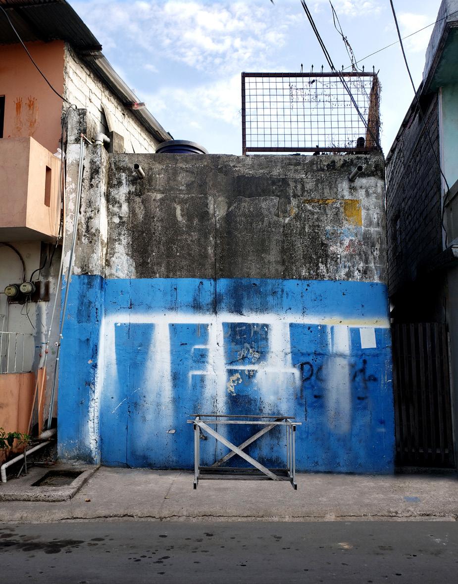
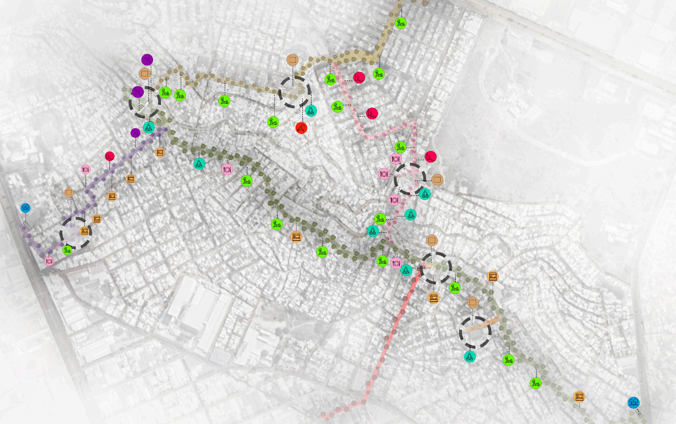
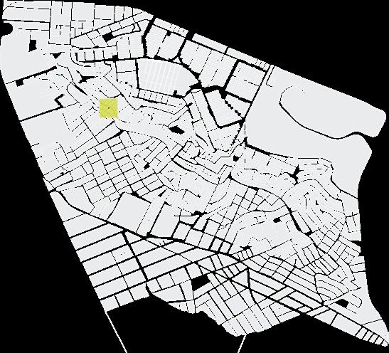
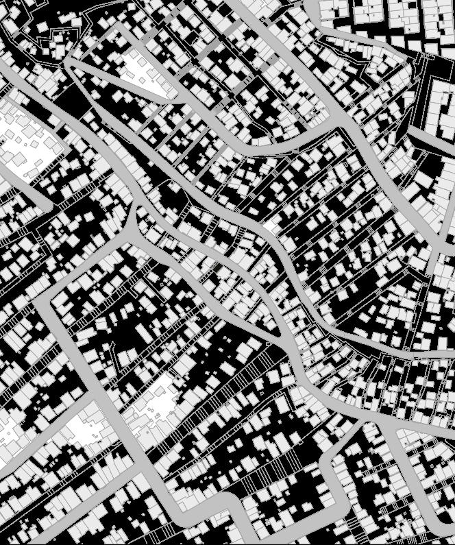
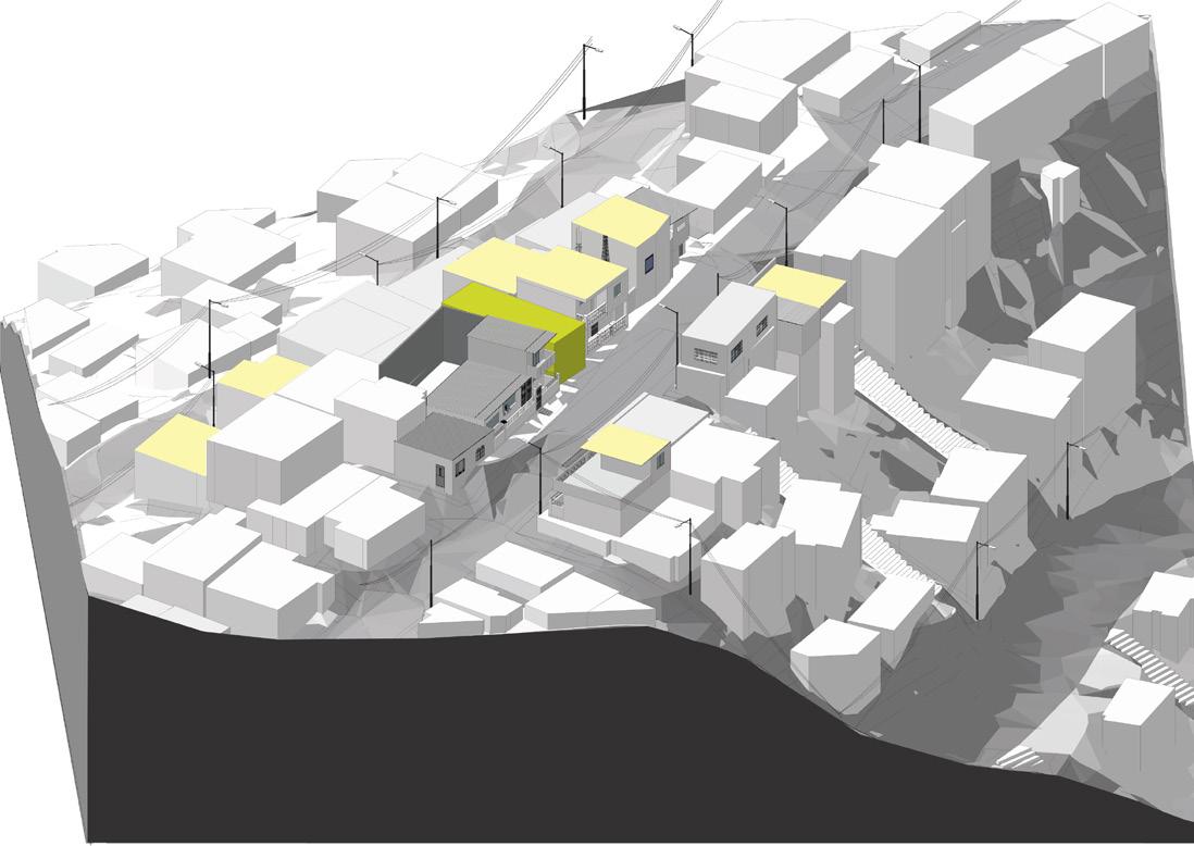
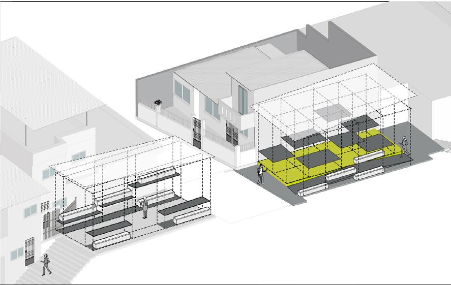
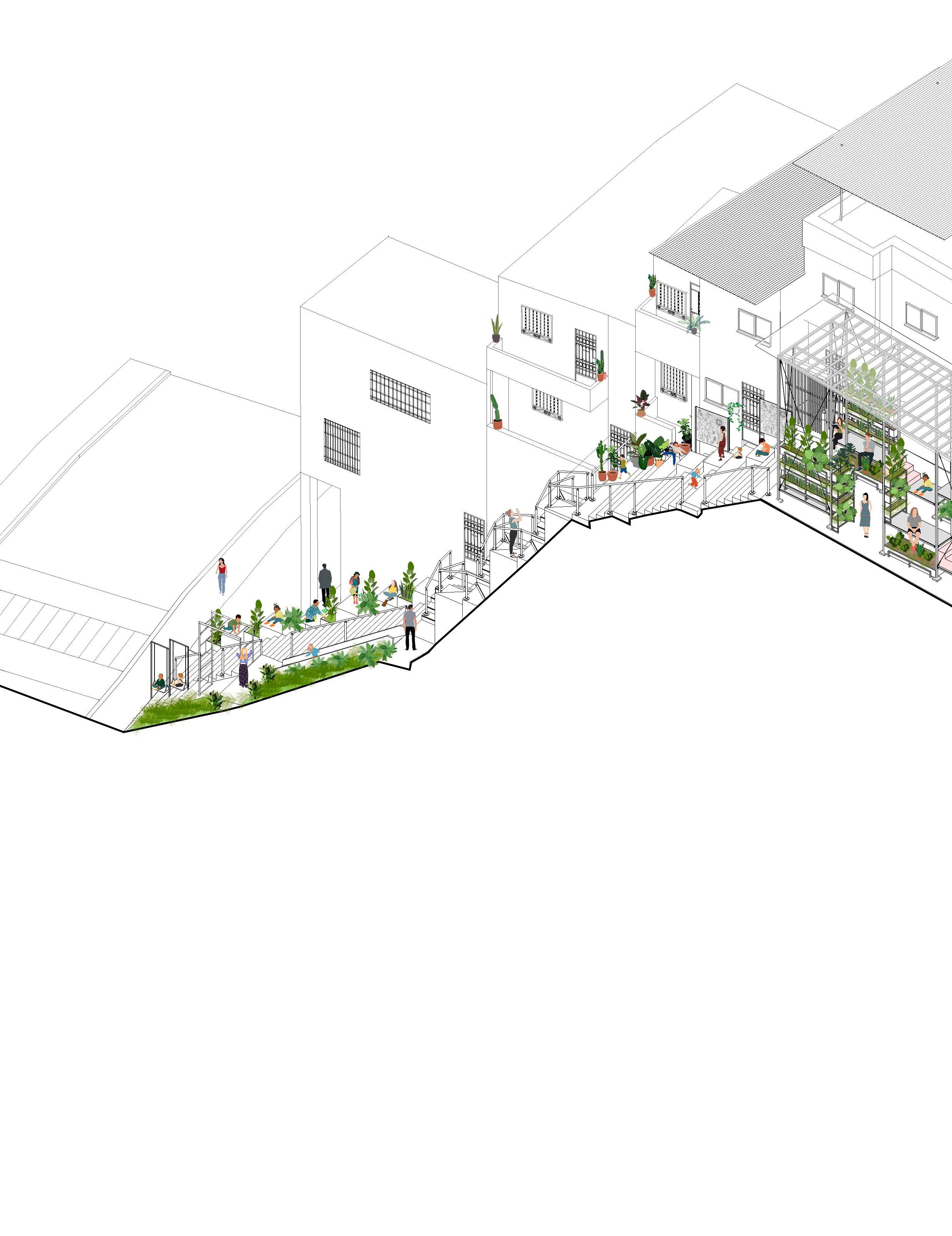
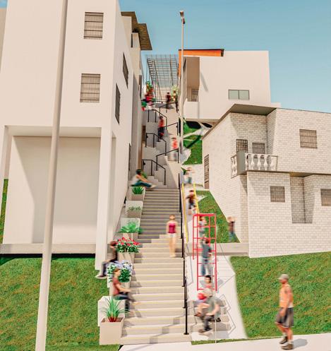
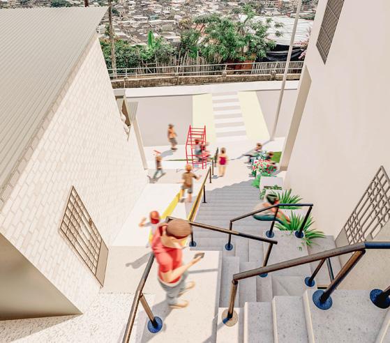
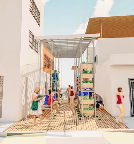
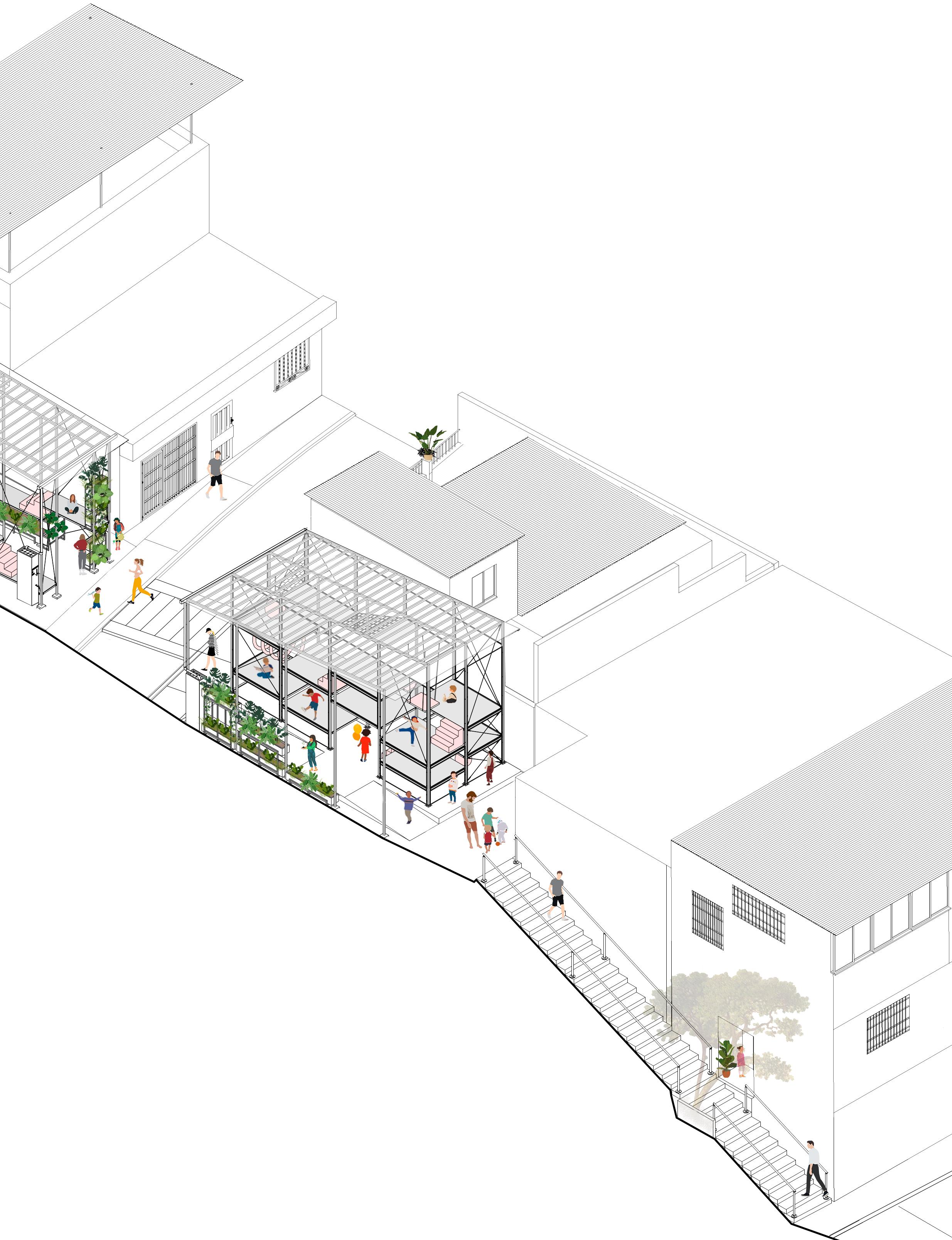
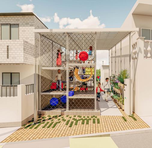
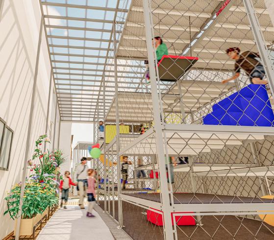
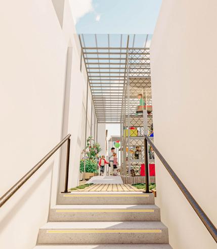
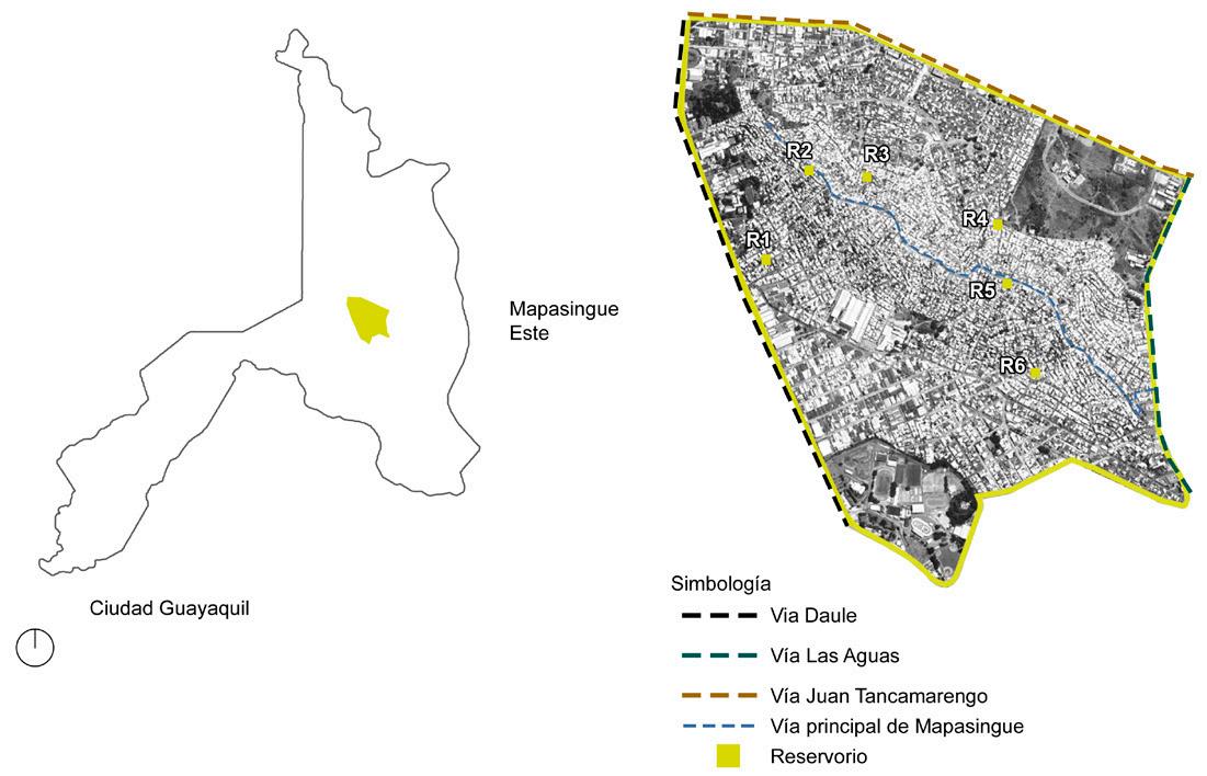
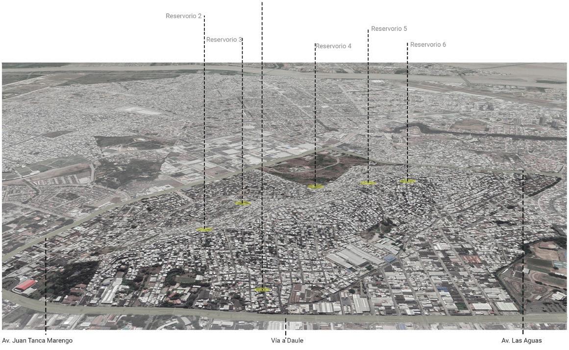
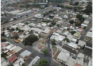
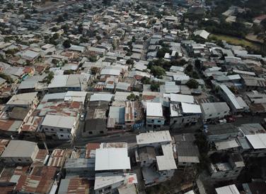
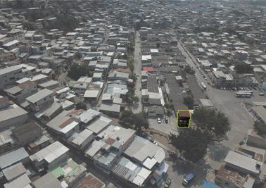
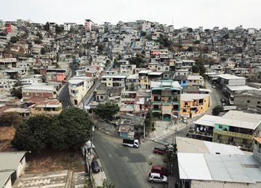
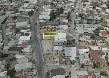
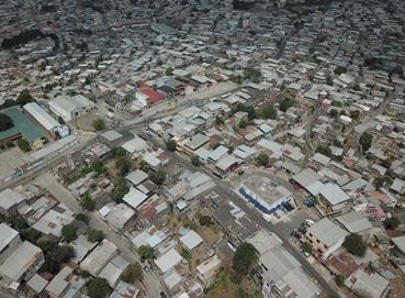
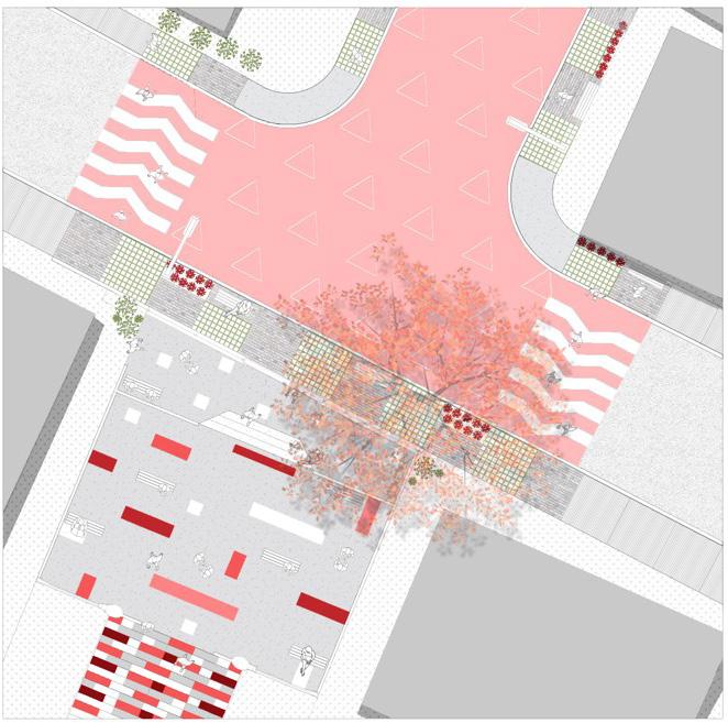
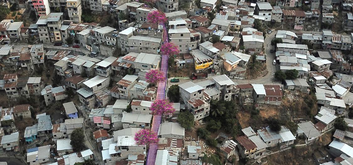
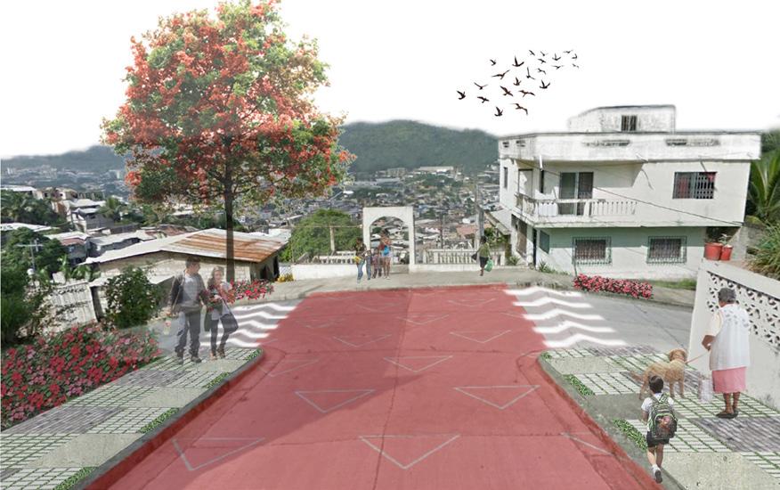
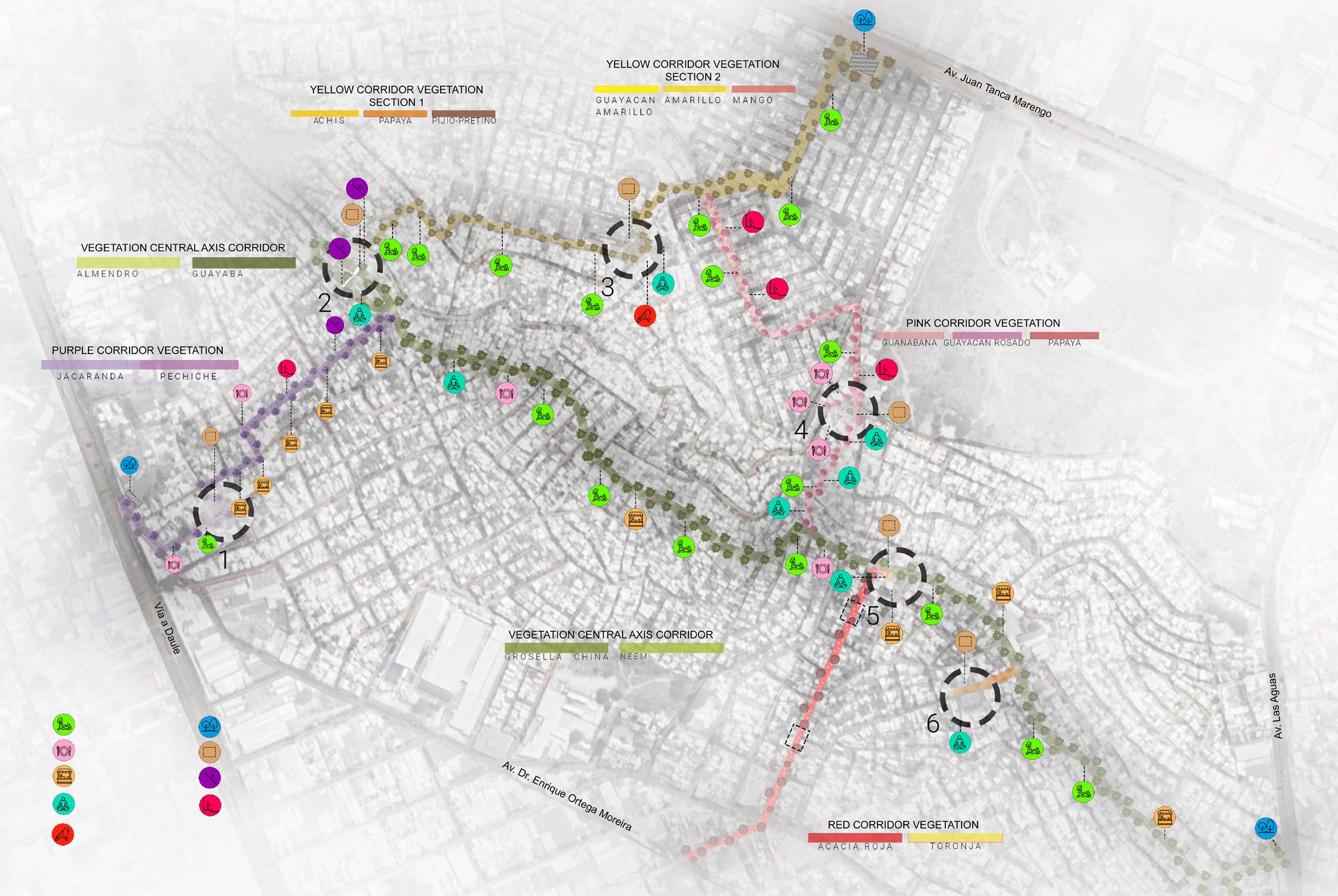
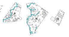
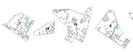
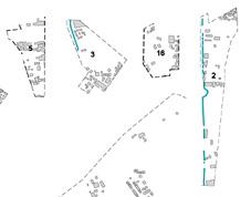
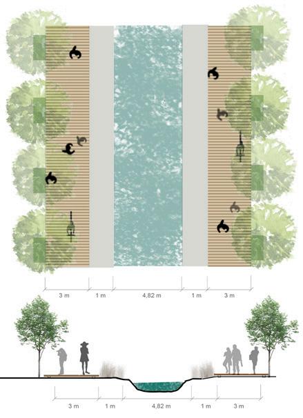
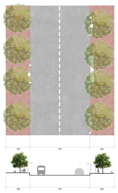
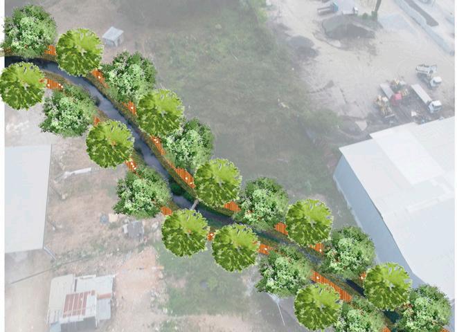
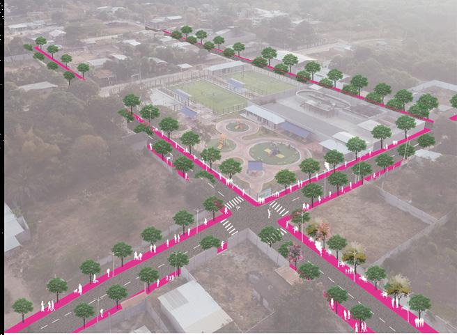
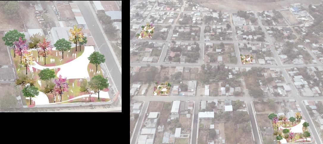
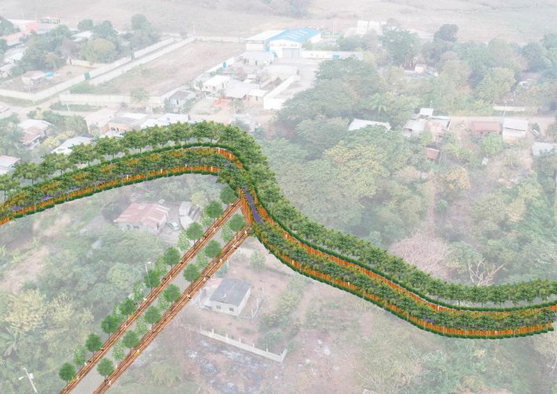
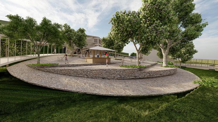
Development of an adaptive architectural design project with urban image competence. Covered in phases of architectural - urban intervention on the study of the context of Mapasingue Este, Guayaquil. The objective of the project is the recovery of abandoned spaces where old disused water reservoirs are located. It is proposed to intervene in these spaces by rehabilitating the reservoirs and adapting their use to the needs of the sector. The proposals are called strategic points that spread the revitalizing effect through recreational corridors. the articulation, preservation and potentiation of the surrounding context are promoted.
4 CONNECTING MAPASINGUE EAST
Neighborhood activities
Concept
Modulor
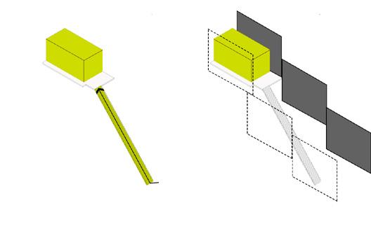
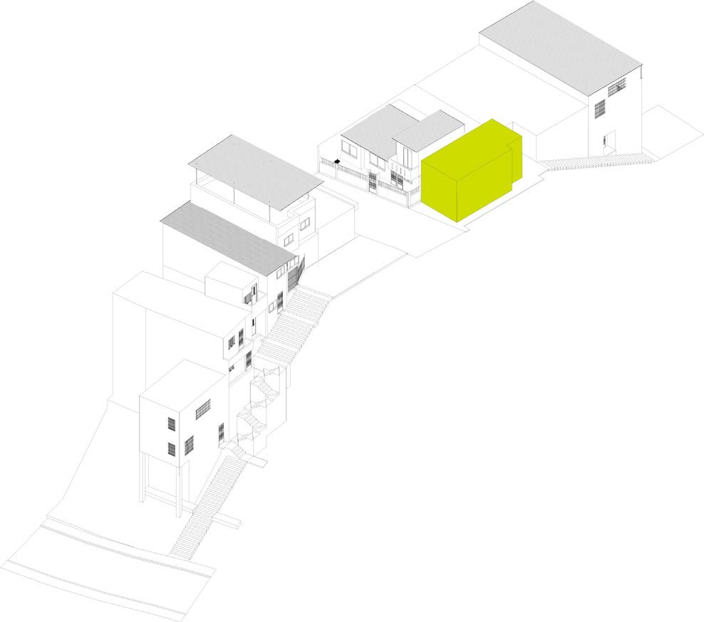
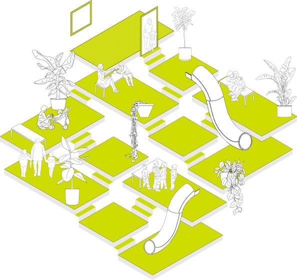
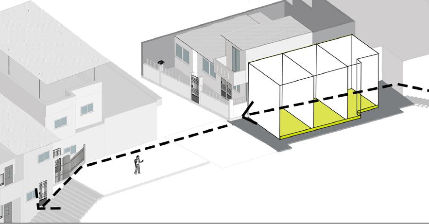
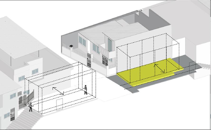
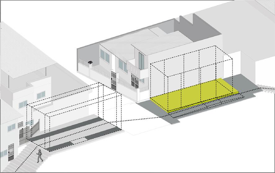
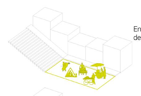
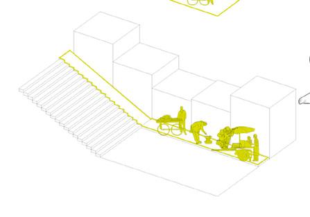
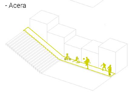
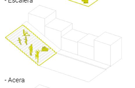
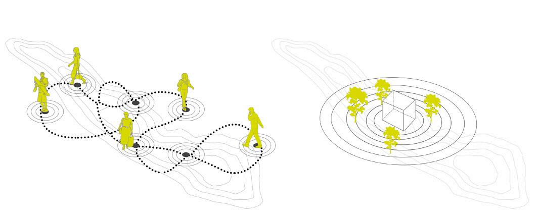
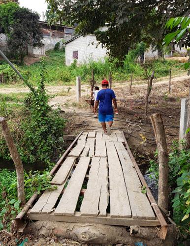
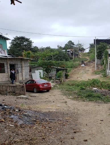
The circulation system that the inhabitants have generated by adapting to their immediate environment generates a strong link between people and the pedestrian paths, developing their lives and the homes around them. Providing a great value of neighborhood life through a fluid mobility route, which at the time of inserting the reservoir generated problems for neighborhood coexistence, forcing them to privatize public access to it.
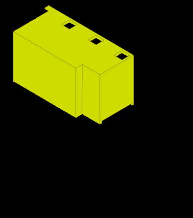
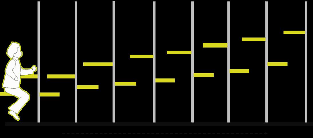
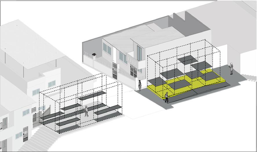
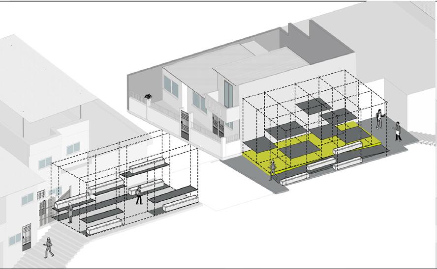
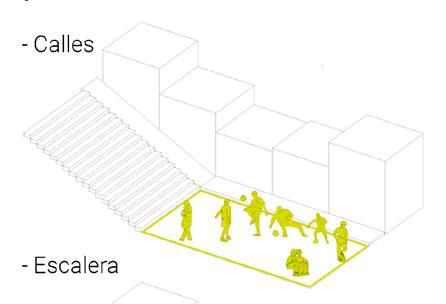
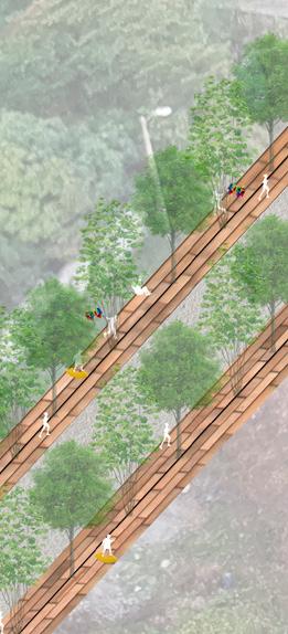
This circulation system is synthesized in a system of connected platforms that, when introducing the activities, make up a system of neighborhood life typical of the sector.
5 THE RESERVOIR 2
symbology reservoir pathways ladders
360º visuals
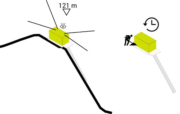
Highest point of Mapasingue East
Antiquity First reservoir built in 1980 by the settlers.
Direct connection It has a ladder on its back
Hidden It is located between medians
121m
Characteristic stores metal and wood workshop tailor shop
O E
S N Adults with children Kids playing
Re-interpret the BUNKER STEREOTOMIC Body
TECTONIC soul
6 Strategies
Contemplation area and communal gardensChildish games
2.Contemplation area Communal Gardens
Learning zone
1. Children’s area
Receiver
/ Access
7 A B C D E D1 D1 D2 D3 D4 D2 D3 D4 EDCBA 0.00 N+0.10 N+1.58 N+1.04 N-3.68 4.51 5.38 6 11 12 13 14 15 16 17 18 19 20 21 22 23 24 25 26 27 28 10 29 30 31 92 91 90 89 88 87 86 85 84 83 82 81 80 79 78 77 76 75 74 73 72 71 70 69 68 67 66 65646362606159 58 57 56 55 54 53 52 51504948474645 44 43 42 41 40 39 38 373635343233 A B C D E 1 2 3 4 N 0.60 N 0.60 + 0.60 N 0.10 0.10 + 0.00 -16.07 N -16.17 N -10.49 3.68 C C' PROYECCIÓN CUBIERTA 1% B CANALETA DRENAJE B' A A' CANALETA DRENAJE N 0.30 0.10 + 0.00 INGRESO PROYECCIÓN CUBIERTA HUERTO COMUNAL 0.90 N 0.90 0.32 B C D E N 1.10 N 5.92 6.02 B' A' C' 1% + 0.10 7% A C EKO MURO N 0.50 N 0.50 + 0.50 2 + 0.10 8% 8% 8% 8% BA 3 41 CANALETA DRENAJE Section 1 Section 1 Section 2 Section 2 Architectural drawings
Translucent cover to allow the permeability of natural light in a dividing space.
Implementation of community gardens to provide planting and harvesting areas to the sector.
CONTEMPLATIONORCHARDSSPACE
Configure a modulation that allows both parties to modify around the circulation they have.
Expand
Condition the circulation area for continuous accessibility
8
STRUCTURE2
LEARNING ZONE
CHILDISH GAMES
ORCHARDS REST SPACES
Architectural proposal
E F
DEF
Light cover that allows the collection of rainwater so that the inhabitants maintain their crops.
the area of public space.
CHILDREN’SZONE ORCHARDS
Respect and configure the modula tion in the accesses of dwellings
Maintain the height of the reservoir to stay aligned with the context.
DIRECTACCESS
Pillars anchored to the base of the reservoir. The pillars outside the base are anchored by plinth
Maintain the base of the reservoir to preserve its footprint
Modular platforms at various levels to generate an interaction system between the user and the proposal.
Slender metal pillars to generate double-height spaces.
9
ORCHARDS SPACE STRUCTURE1 RECEIVER
A B C D AC
B
First occupied lots destined for industries.
Formation of the first settlement
The first 8 cooperatives established without planning.
The cooperatives grow towards the top of the hill.
Creation of planned cities.
Objectives
10
Link with the city Revaluation of vertical connections Community integrationRehabilitation of the sector
Before 1965 1972 1974 1975 - 1977 1979 R1 R2 R3 R4 R5 R6
R2 R1 R3 R4 R5 R6
The Reservoirs Population and public space Context
Dr.EnriqueOrtegaMoreira
AV.JuanTancaMarengo
AV.JuanTancaMarengo
AV.JuanTancaMarengo
AV.JuanTancaMarengo
11
V Daula e AV Las Aguas Simbología Corredores recreacionales. Paradas de bus. Paradas de aero vía.
V Daula AV Las Aguas Simbología corredores Espacios de estancia barreras vegetales
V Daula e AV Las Aguas Simbología Vías principales Recoridos de corredores
V Daula e AV Las Aguas Simbología Corredores recreacionales Plazas integradoras main roads corridor inclusive seats bus stops airway stops airway route living spaces plant barriers Strategies play to eat sell contemplate bird watching Public SpaceActivities green areas intervention area ladders sidewalks
FOR CHONGÓN
Year: 2019
Project: Territorial Planning
Topic: Urban Intervention
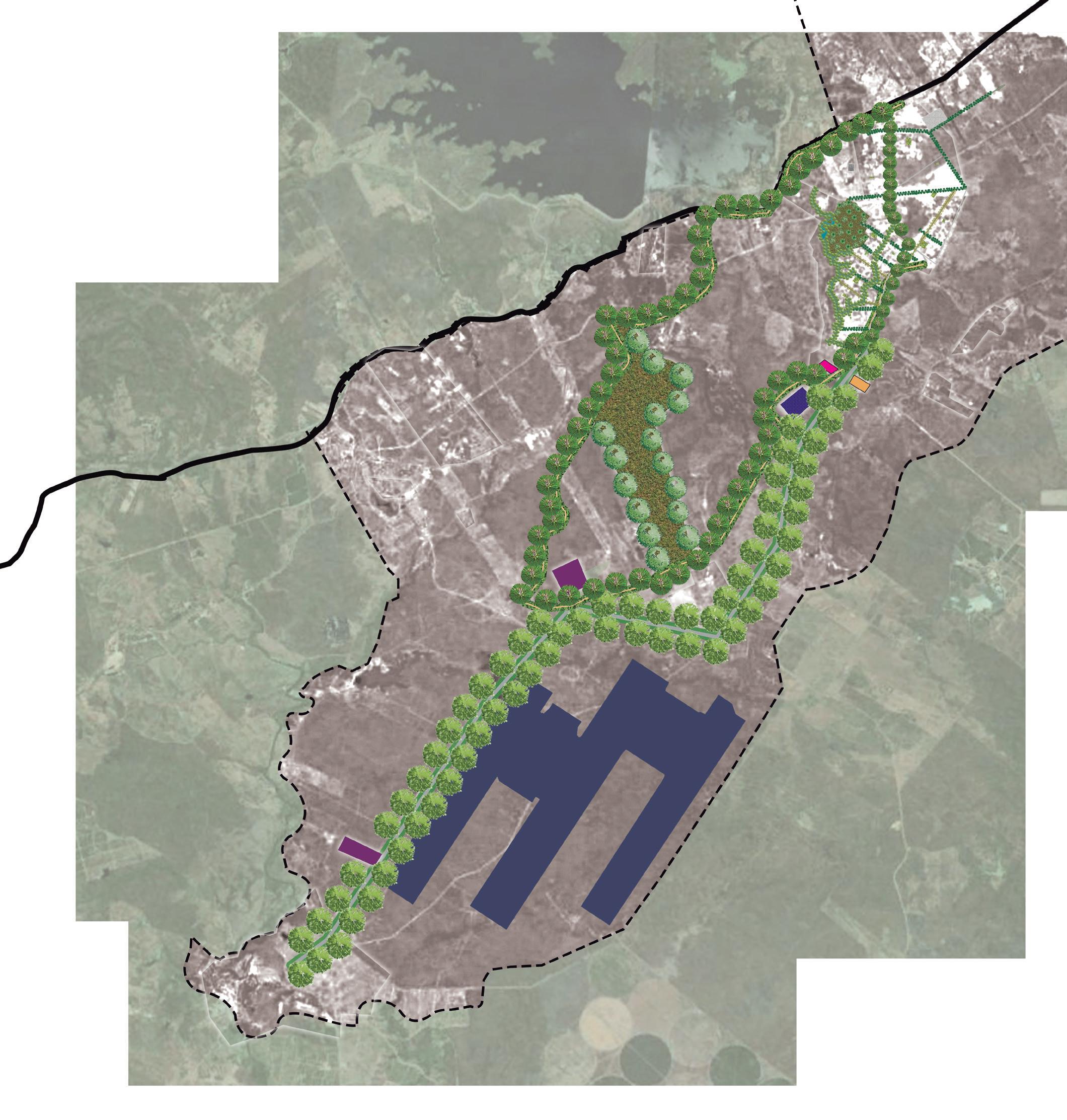
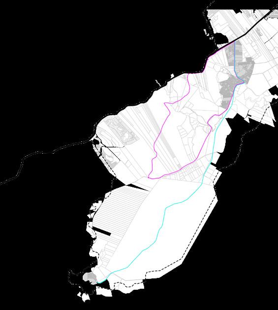
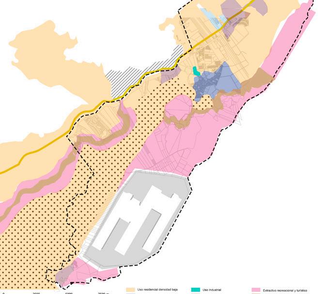
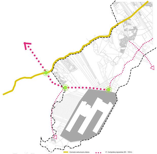
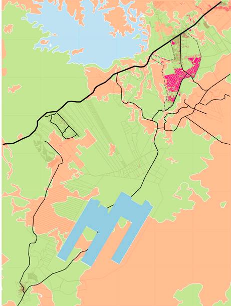
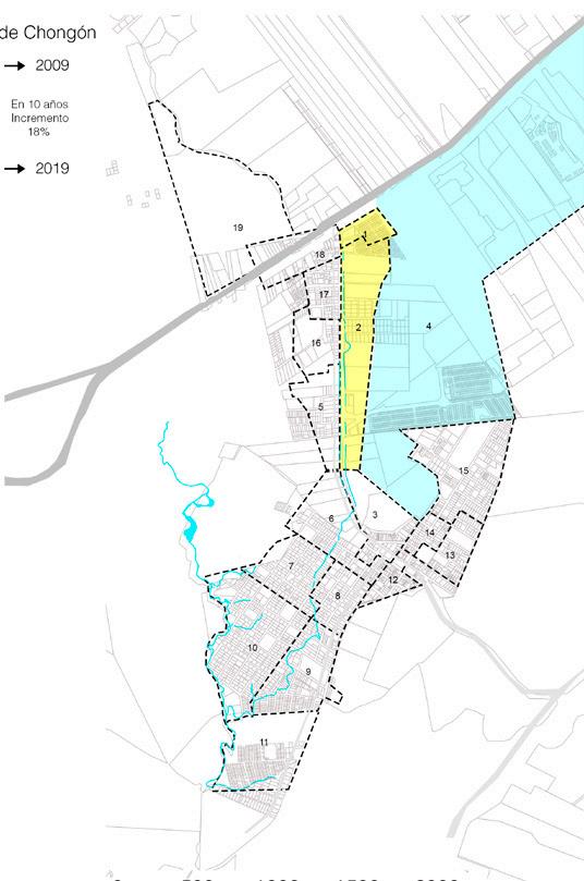
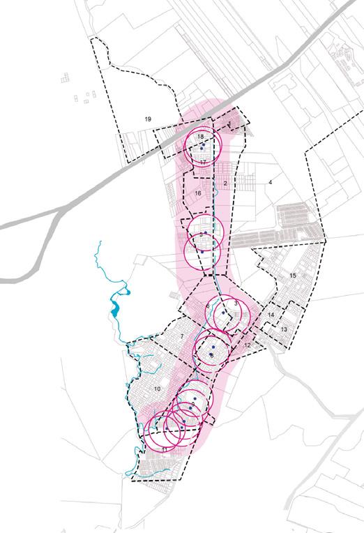
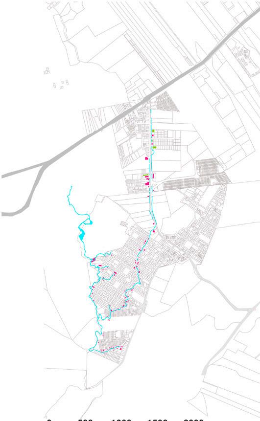
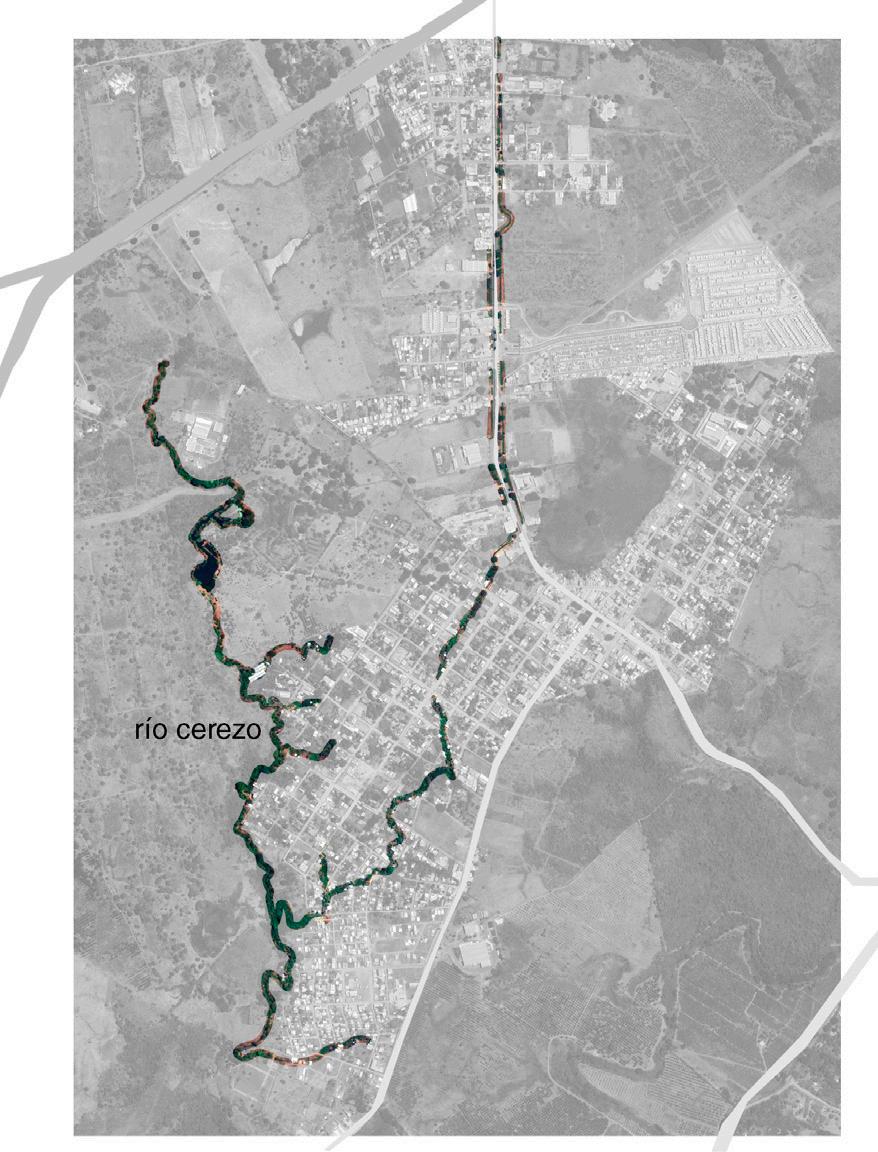
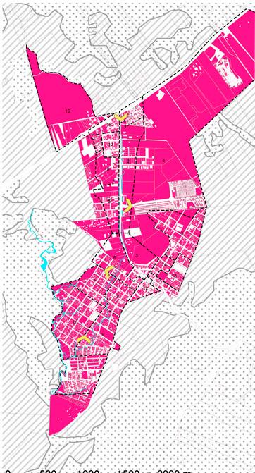
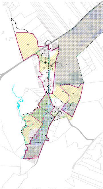
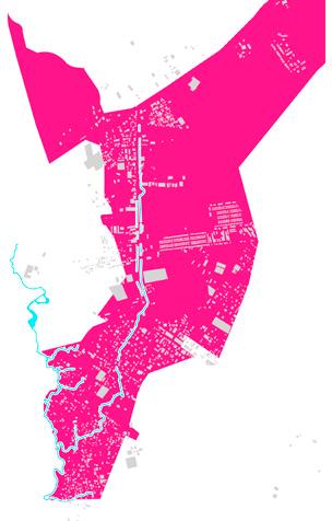
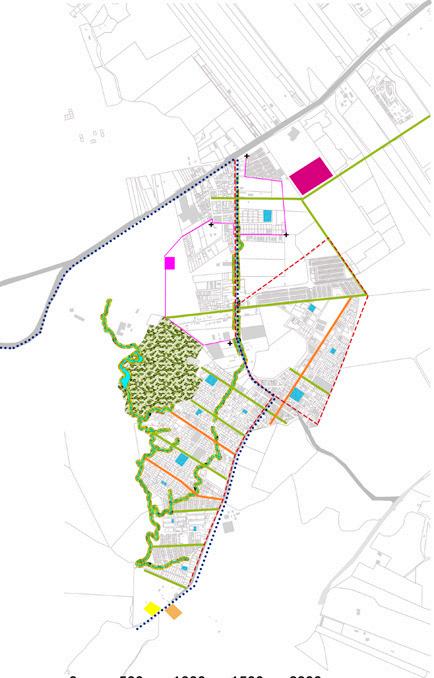
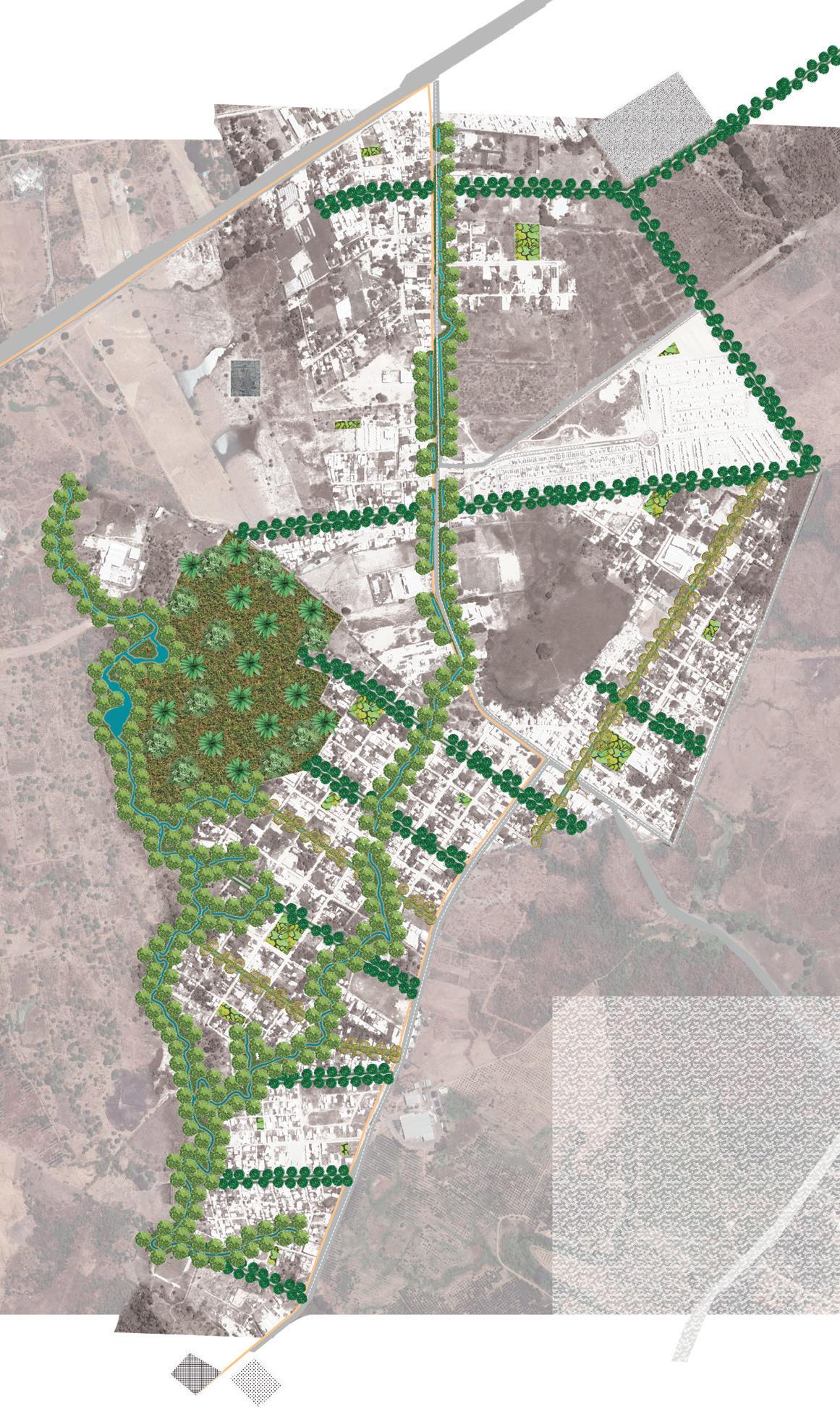
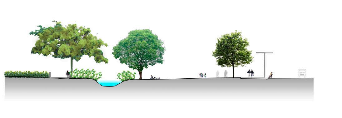
Development of a Master Plan for Chongón, considering the strategic location between the city of Guayaquil and the new airport. The project is based on an on-site investigation and analysis of the 2015 Territorial Ordering Plan and Gazette 94 issued by the city’s municipality. The study of indicators based on the parameters of the Urban Agenda of Malaga 2015 is carried out, once the indicators are related to the analysis, a diagnostic synthesis is carried out that includes the problems that directly affect the study sector. Strategies are projected as solutions to the problem, so that they allow an adequate model of urban functioning, good quality of urban life, integration in the natural environment and sustainable mobility.
Master Plan
12
Chongón
Daular
MASTER PLAN
Green area
Pedestrian and equestrian trail Market Education Airport Hotel
Hospital
Bikeway
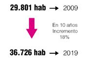
13 Current situation Full Residential Census tracts Empty Cerezo river Cerezo river ResidentialLower population density Solid waste Drinking water Electricity Cerezo river Mixed(residential + commercial) Road to the coast Small scale industries Metal factory Bus stopValverde Guerrero park Chongón park San Gerónimo park 1 2 3 Secondary pathways Dairy factory Garbage accumulation Coverage radius 300mCerezo Paint factory Discharge of residual waste Higher population density Sewage water Recreational Graveyard Educational Institutional Religious Industrial Commercial Health Land use Municipal master plan Pollution Population distribution Present Services Public space Municipal road proposal Full and empty Public transport Ecosystems Houses by the river BuildingsIndustrial use V2 Proposed expressway ChongónResidential- low density Chongón-Daular road Urban structural corridor AirportCommercial use and services Land with landscape value Land of risk and vulnerability Land with landscape value Guayaquil-Salinas roadGuayaquil-Salinas road Urban limit Urban limit Road to the coastCycling route Cycling route Proposed roundabout Secondary pathwaysResidential- agricultural A1 Proposed motorway (90 - 100 m) Water body Dry scrub Dry forest Residential Mixed Commercial Worship Educational Industrial Institutional recreational Graveyard Health 2075 23 10 1 1 9 3 7 1 1 97 1.1 0.6 0.1 0.1 0.4 0.2 0.3 0.1 0.1 Land Use Quantity % Chongon population in 10 years increase 10% Mixed(residential + commercial)
Diagnosis
1.Ecosystems
2.Hydrography
3.Empty Land
Strategies
Restructure the mobility system.
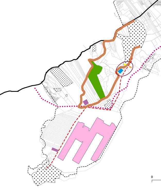
Integration of Chongón with the airport.- Green corridors around the bike path to generate connection and encourage the movement of people to the southeast.
Implementation of a pedestrian and equestrian trail to generate a connection from Chongón to Daular
Implementation of green space located in the empty space generated by crops and population settlements.
Population settlements
Market Hospital
Empty Census tracts Full Cerezo river
forest Dry scrub
1. Pollution
Invasion of the protected area of the body
water
Public space deficit
4. Lack of diversity in the sector.
Bus stop
Cerezo river
Sectors without proximity to public space
Precarious housing
Sectors with the highest contamination
without public transport Predominantcoverage
land use
Concept
Education Green areas Hotels Airport
Pedestrian and equestrian trails
Bikeway Recreational corridor Urban boundary V1 Proposed motorway (90 -100 m)
Implementation of health, education and market equipment in the southeast of Chongón to generate a new centrality and encourage movement towards this area.
Provide hotel facilities that are close to population settlements and the airport.
Local road - bus route Bikeway
Industries pedestrian andequestrian trails
Green area Path Recreational corridor Green corridor
Nueva Centralidad
Cerezo river Market
Waste treatment plant Hospital
Collective housing
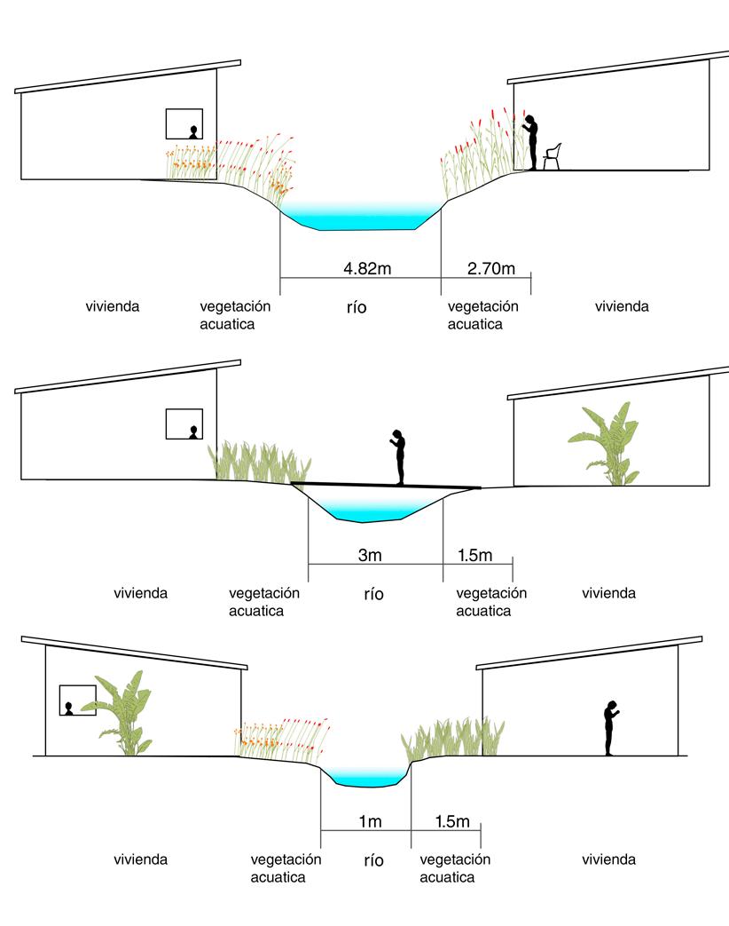
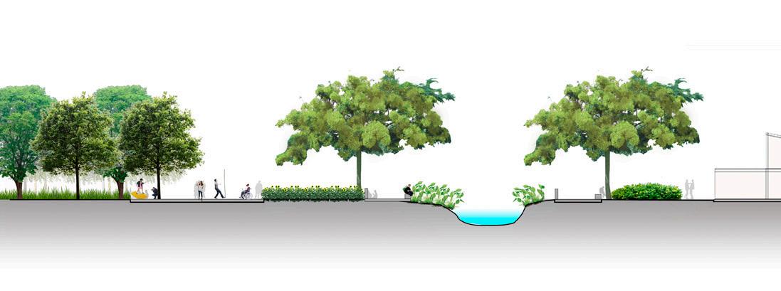
14 River sections
Chongón Daular
Dry
Sectors
residential
Industries Centralities A - A` B - B` A - A` B - B` C - C` C - C`
Strengths Issues
2.
of
3.
INTEGRATION.- Integration includes the strengths and problems togenerate solutions that make up an integrated city.
Centrality Disequilibrium
Fragmentation Unlink Hydrography
stay and contemplation children fishing
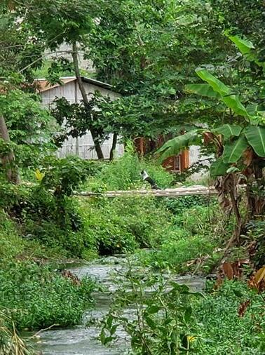
children playing bridges bridges houses on the riverbank
House House House
House House House
aquatic vegetation aquatic vegetation aquatic vegetation
river river river
simbología
vía local - ruta de bus ciclo-vía vivienda social parques de bolsillo
planta de tratamiento de residuos Hospital
río cerezo Mercado
área verde sendero corredor recreacional corredor verde
15
B-B` C-C` A-A` 0 250m 500m 1000m A - A’ B - B’ C - C’ 0 1m 5m 0 1m 5m 0 1m 5m The path and the river Conditioning of roads Bikeway Intersection: Path around the river + Recreational Corridor Pocket parks Specific Projects Master plan chongón
HOTEL
Year: 2019
Project: Hotel
CEIBOS
Topic: Architectural design
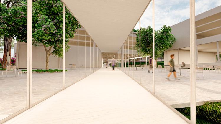
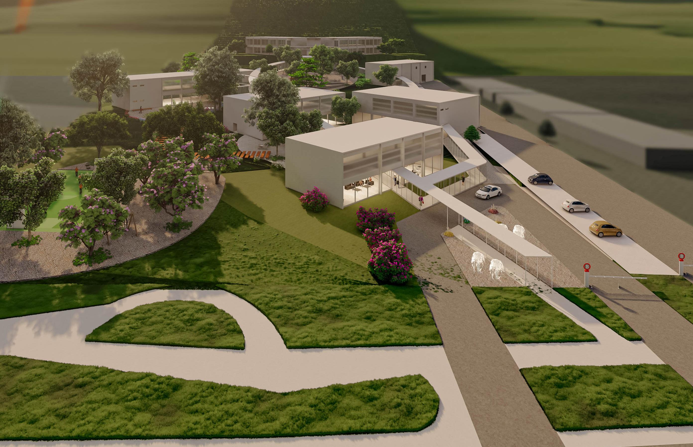
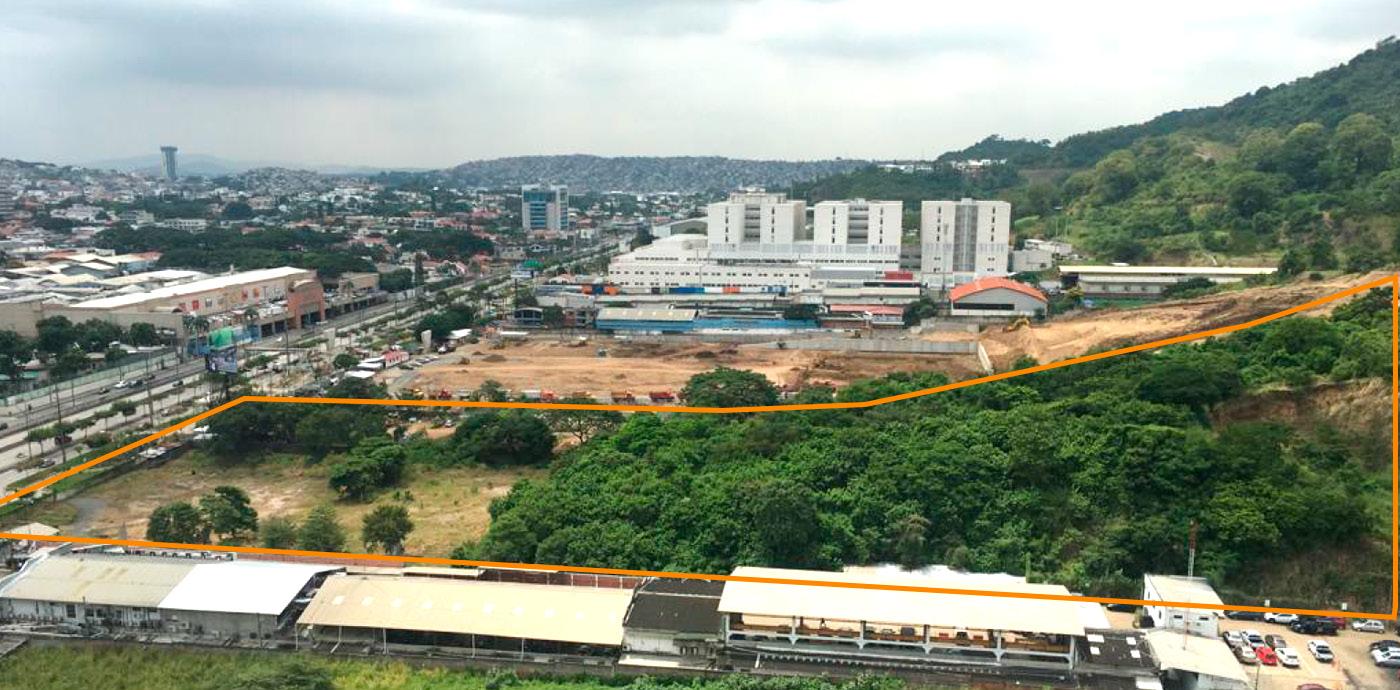
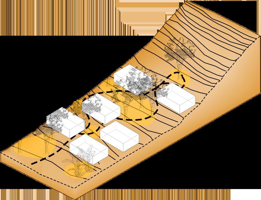
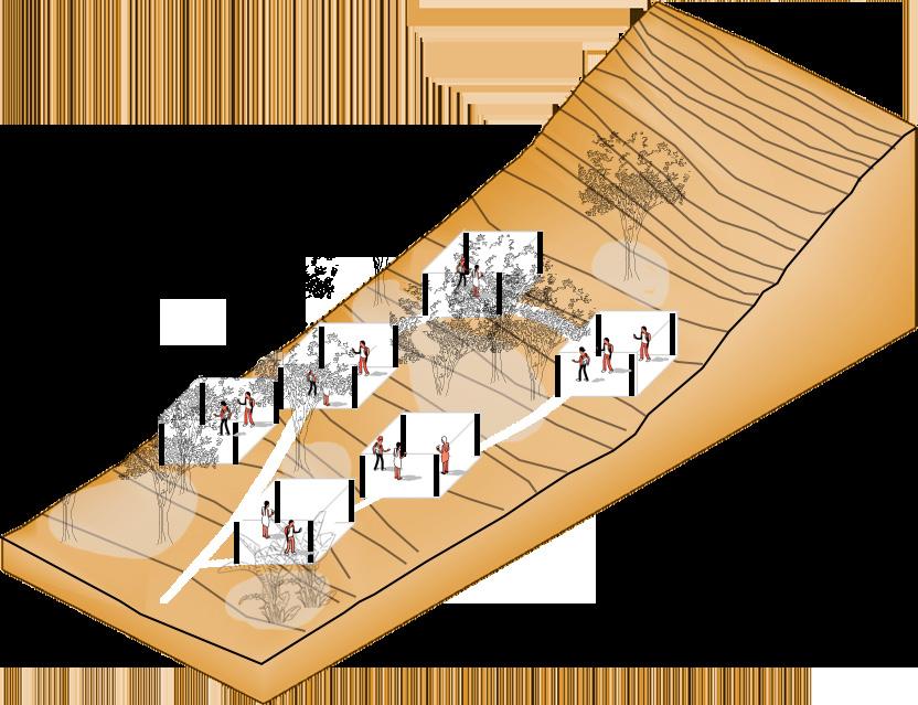
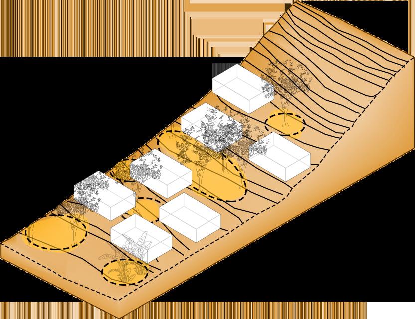
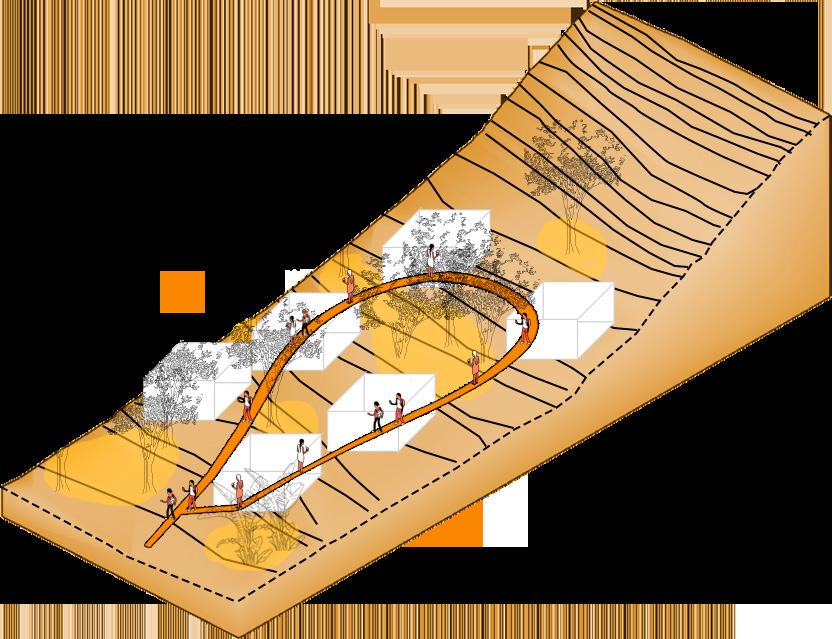
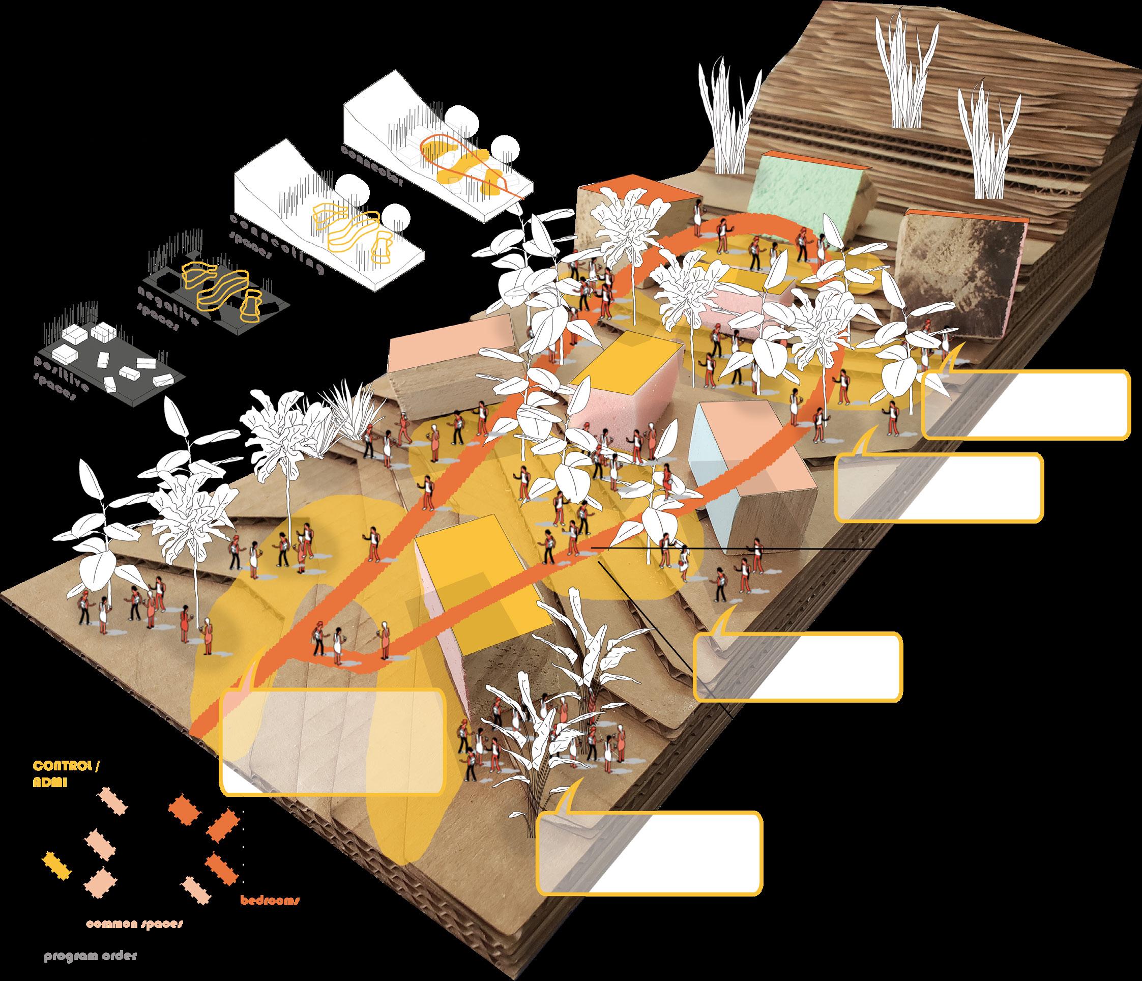
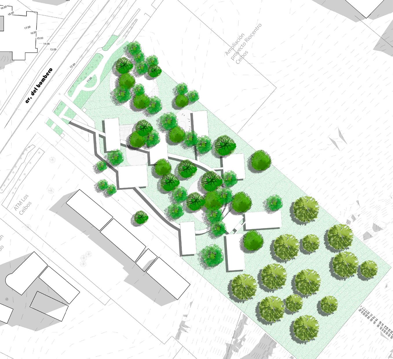
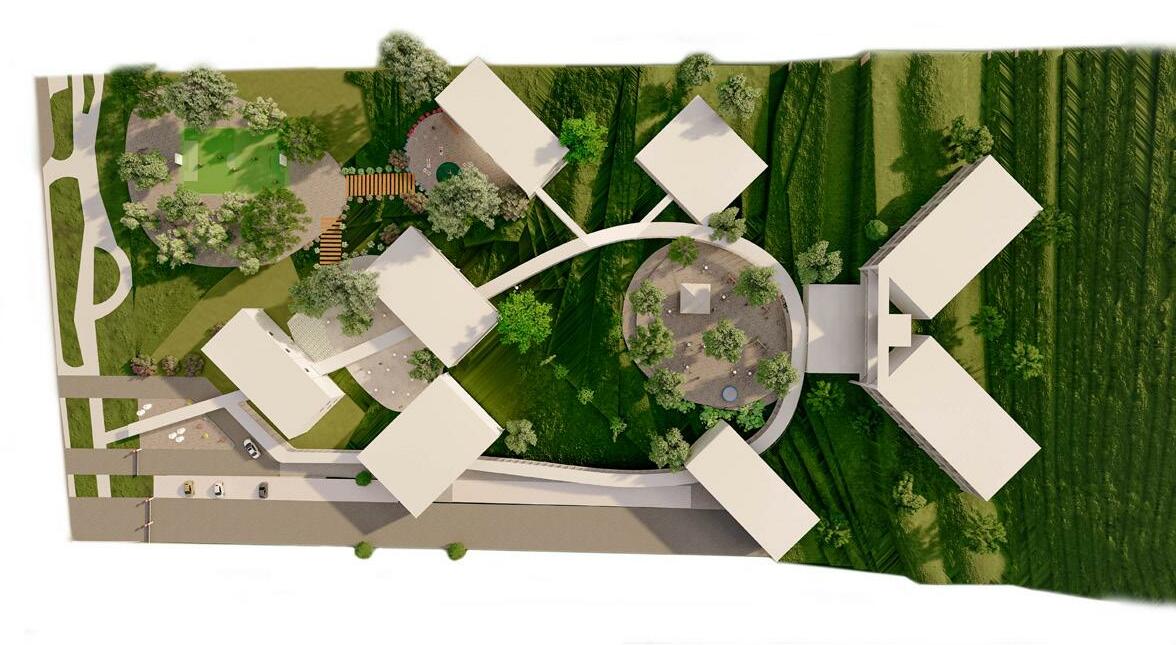
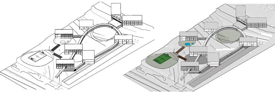
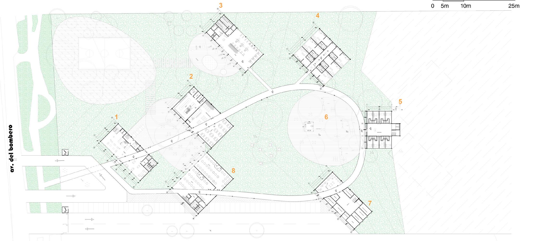
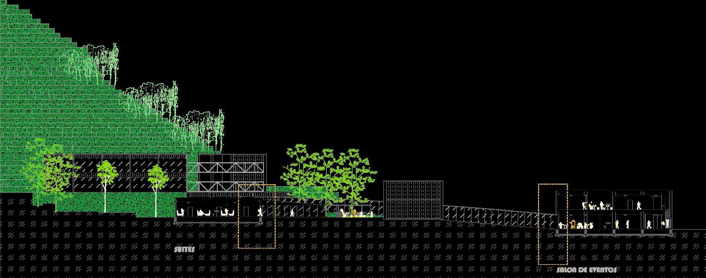
Architectural proposal for a hotel located in Los Ceibos sector due to the equipment deficit of a hotel in the area. The land has conditions of marked topography and predominant vegetation generating the two strengths of the project. The spaces of the program are defined in configuration of the physical conditions of the land through the distribution of the program in strategic places connected through a circulation route that crosses the spaces of the program and structures the interior landscape of the land.
16
IN
Concept
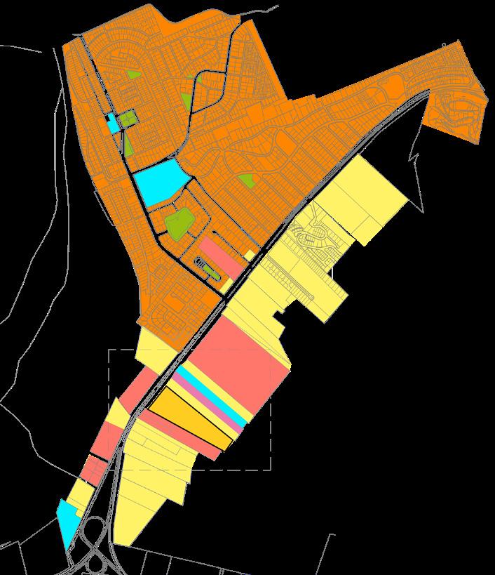
17 Educational Recreational Commercial Industrial Residential Institutional Context
Strategies
vegetation vegetation limits space limits hierarchy of spaces
Bus Stop
mango tree up to 30m high cafetillo tree up to 30m high
saman tree up to 20m high faman tree up to 15m high acacia tree up to 12m high
cebra tree up to 10m high copa de oro up to 8m high
Unifies program fragmentation
18
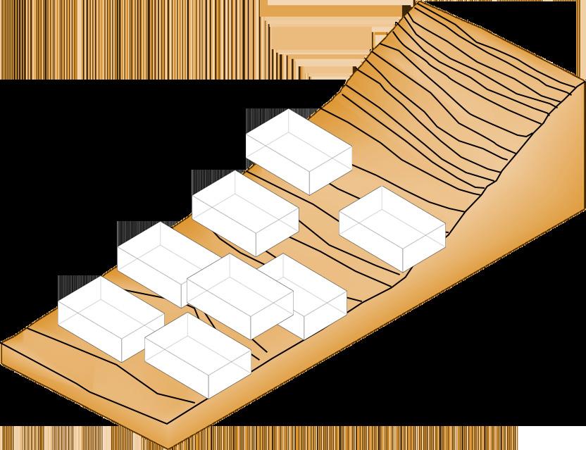
The terrain has a slope, the design of the program is fragmented and generates a set of heights between the different spaces of the program.
The land has abundant vegetation and generates patterns of routes and organization of the program.
connector connections
Recreational spaces that link the indoor to outdoor program
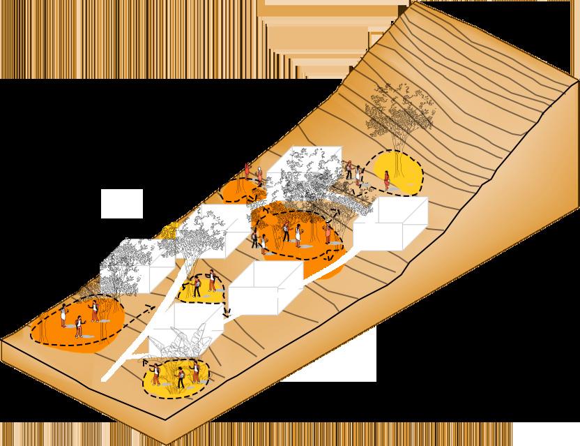
Generate spaces for flexible routes through the vegetation where they contain recreation activities and coexistence with users.
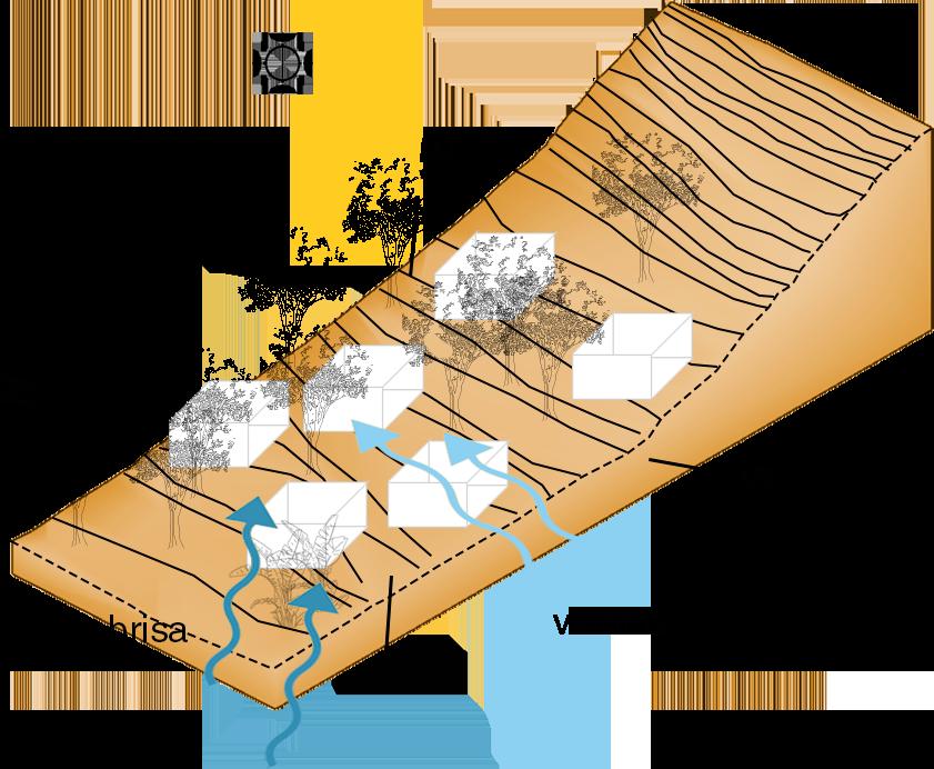
Establish the direction of the project in the direction of the sun so that the facades are positioned in the direction of the winds and breeze to generate spaces of comfort for the user.
Establish project unity through a link that links the project activities.
Generate a fluid main route that crosses the different spaces of the project that allows the user to go through the project without interruptions.
Architecture Parti Implantation
A B
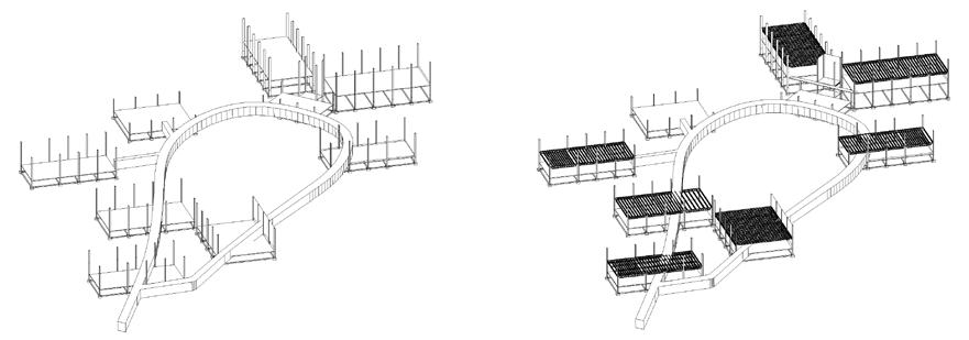
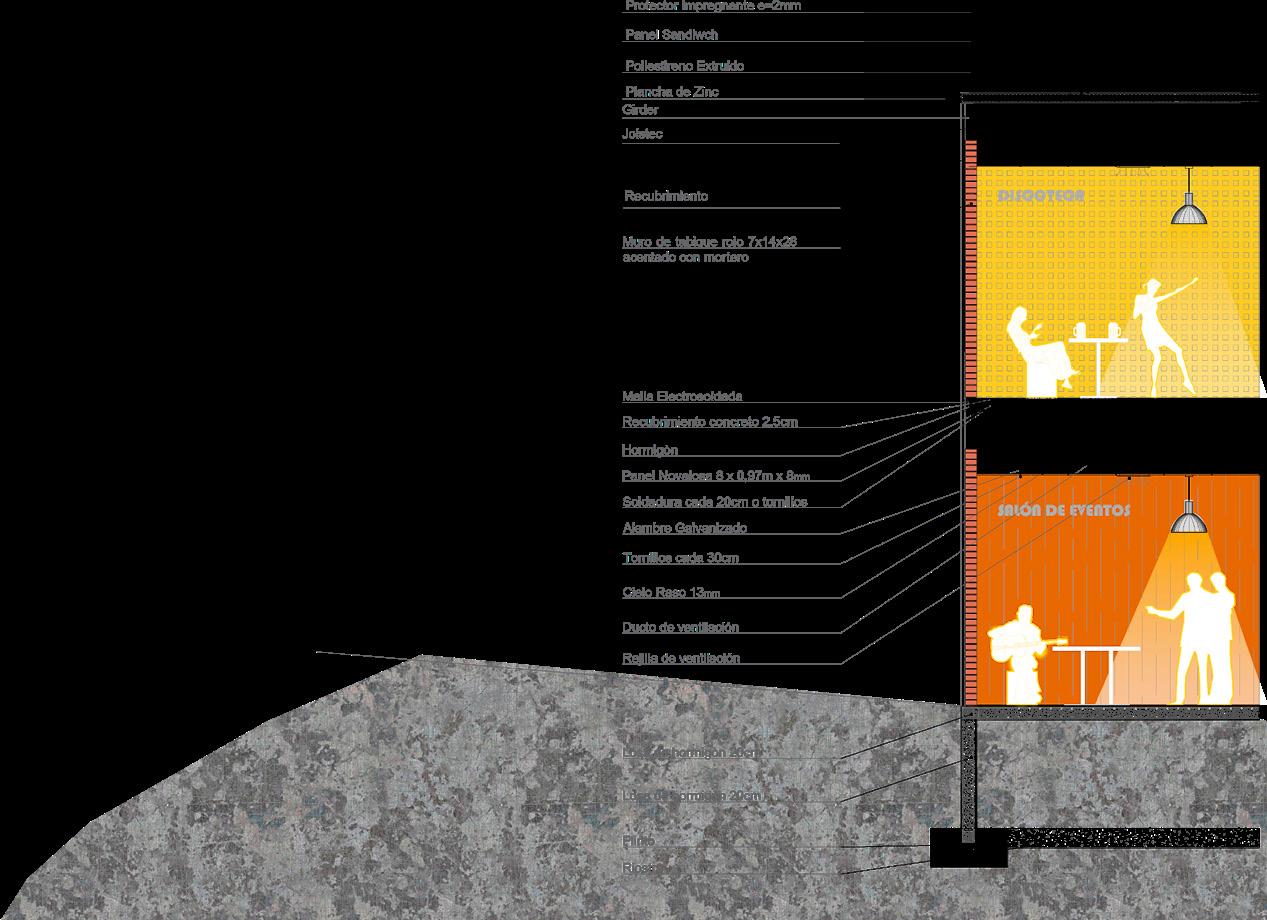
19 Constructive process
Section
Ground Floor
A B
ECUADORIAN ANTARCTIC SHELTER: RAE
Year: 2015-2018
Project: Shelter
Topic: Research and experimentation of ecomaterials
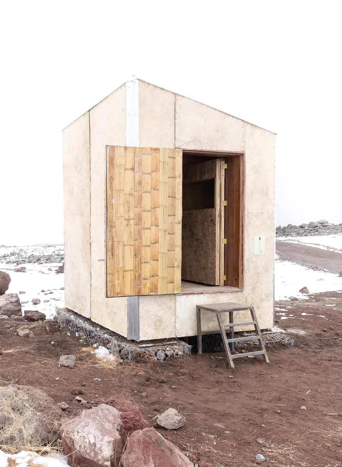
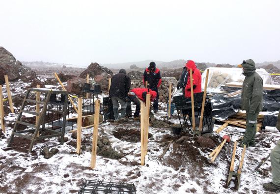
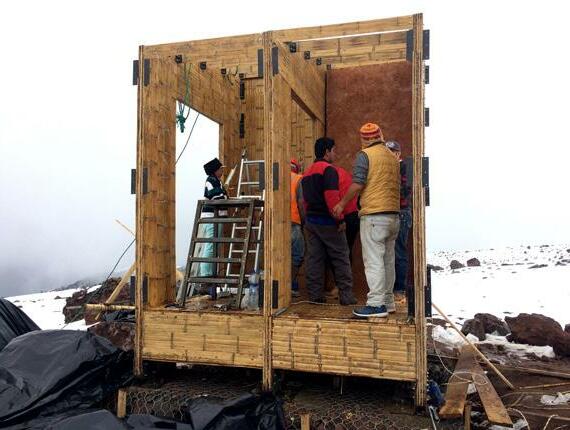
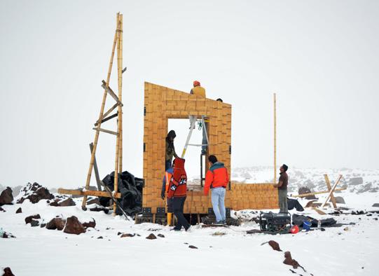
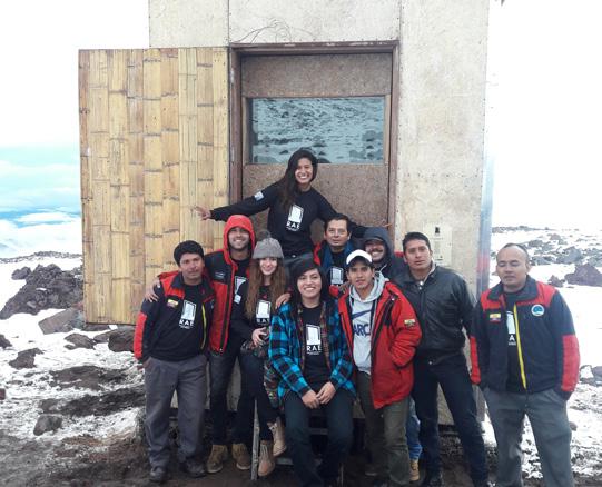
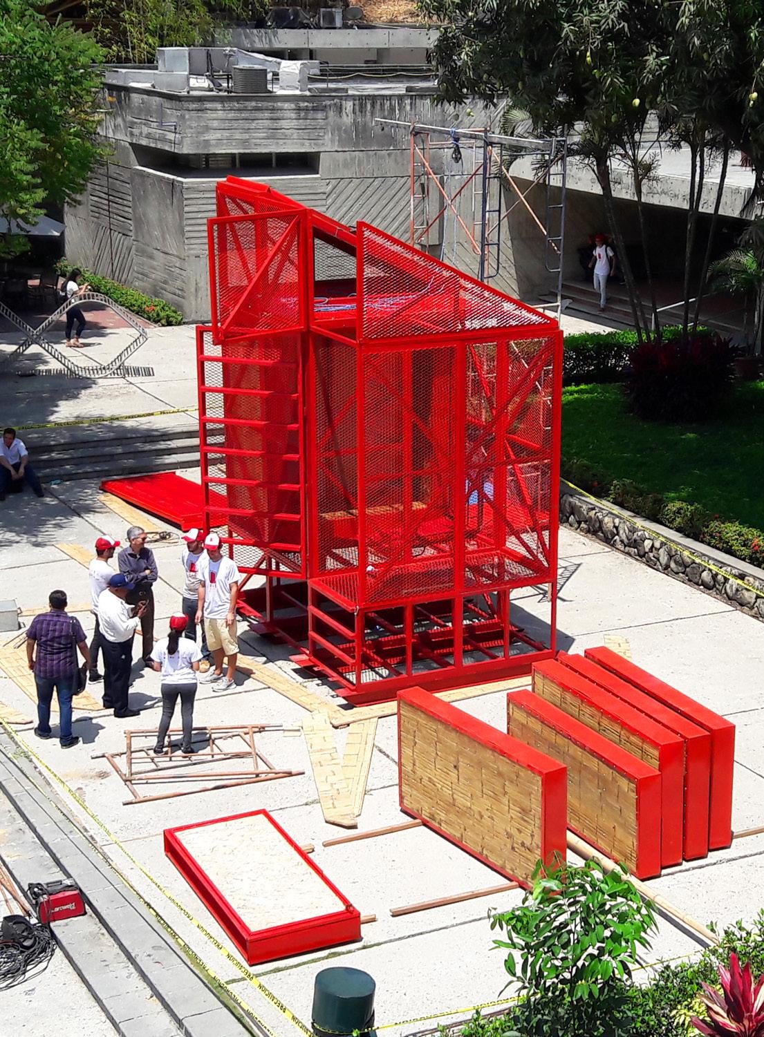
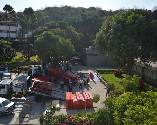
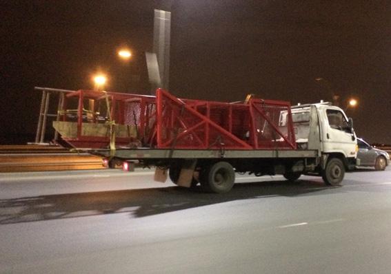
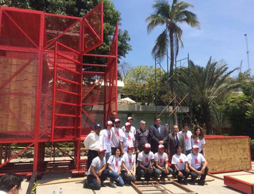
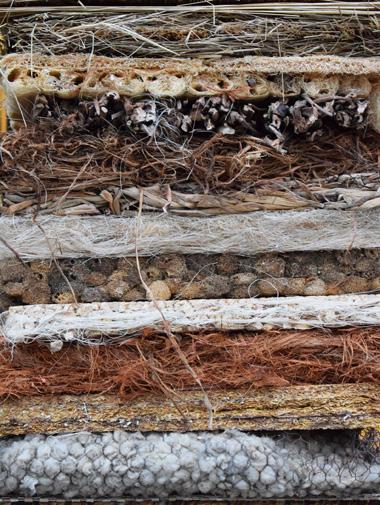
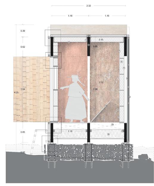
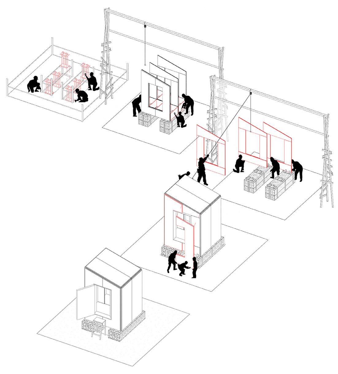
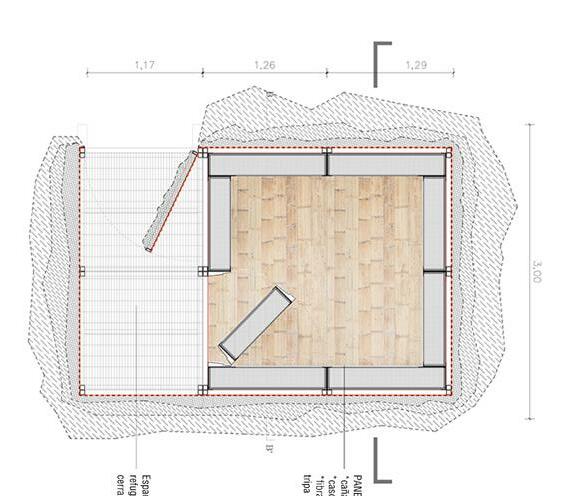
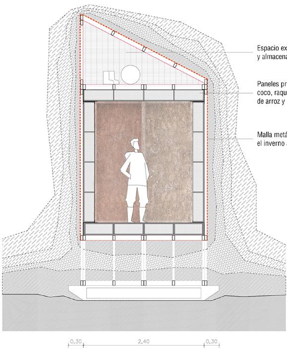
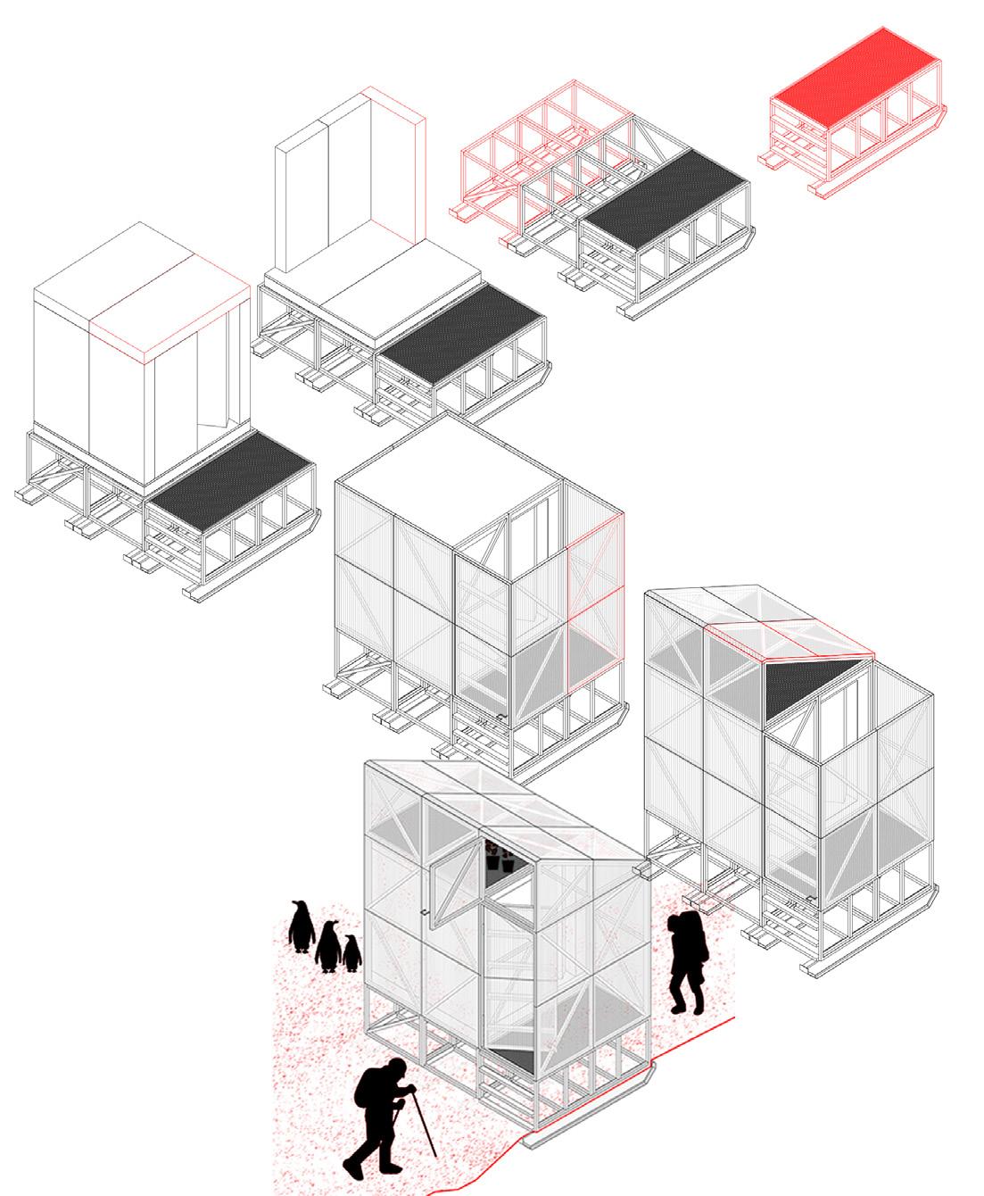
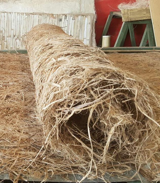
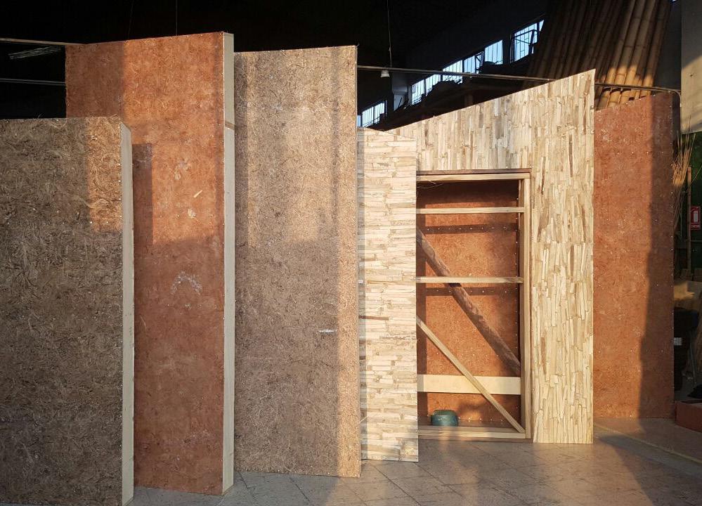
The RAE is a research project that aims to study, develop and apply ecomaterials in the design and construction of two prototypes of habitable emergency shelter. The objective of the project is to test in extreme climatic conditions, in two natural laboratories: 4850 meters high in the Chimborazo volcano and in the Antarctica; habitable emergency prototypes built with prefabricated panels of ecomaterials developed from natural fibers discarded by the food industry. A habitat is proposed where the use of what is free can lead to a real advance in the architecture of what is necessary. Through a research group of the Faculty of Architecture and Design [FAD] of the Catholic University of Santiago de Guayaquil (UCSG), together with the Ecuadorian National Antarctic Institute (INAE) and the Ministry of the Environment of Ecuador (MAE ) develops RAE.
20
Prototype 1 Prototype 2
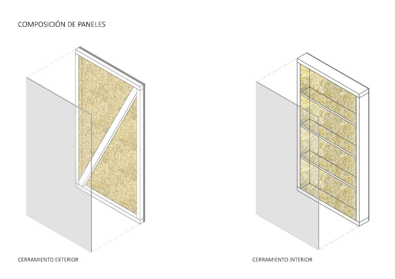
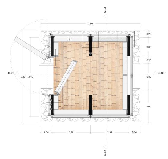
21 1007,6 COMPOSICIÓN GENERAL DEL PANEL 9 8 7 6 5 4 3 2 1 1 material= acero galvanizado espesor: 0,9mm espesor: 0,9 mm espesor: 0,9 mm espesor: 184,2 mm espesor: 20 mm espesor: 2 mm espesor: 2 mm espesor: 5 mm 2 3 material= banda de caucho material= panel de fibra (abaca, coco, banano) 4 material= acero galvanizado 5 material= cascarilla de arroz +yute 6 7 material= plasbam material= banda de caucho espesor: 2 mm c/u 8 material= banda de caucho 9 material= acero galvanizado X W Y w x y z plasbam + plasbam abaca + plasbam coco + plasbam banano + plasbam 9. enclosure frame 8. rubber frame 7. rubber frame 6. nclosure panel 5. insulating fiber 4. stiffening trays 3. enclosure panel 2. expansion frame 1. base frame Prototype 1:Chimborazo Composition of the panels Architectural drawings Natural fibers: ecomaterials Prototype 2: Antartict Ground Floor Construction system Construction system Ground FloorSection Section wood profile bamboo board rice husk bamboo filler sheet paramo straw filling plywood shelfbanana fiber - coconut internal enclosureoutdoor enclosure abaca fiber
BAMBOO HOUSE AND BREWERY
Year: 2020
Project: Bamboo house
Topic: Architectural design
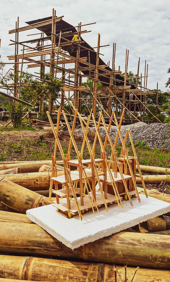
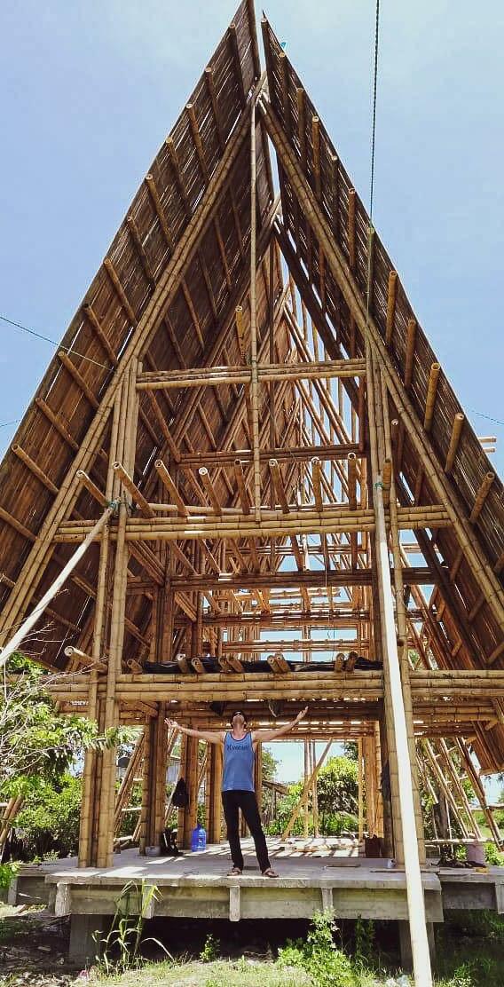
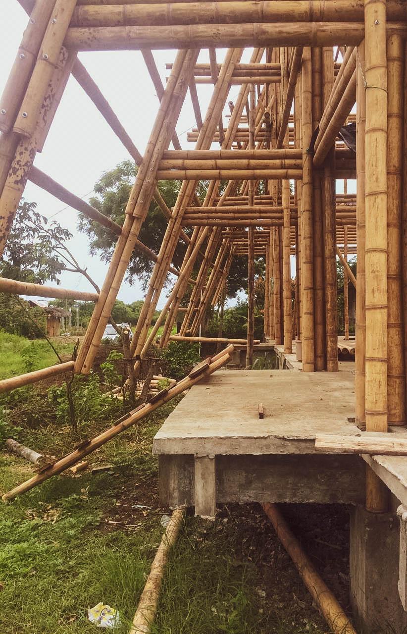
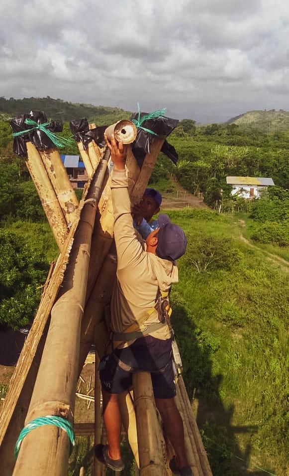
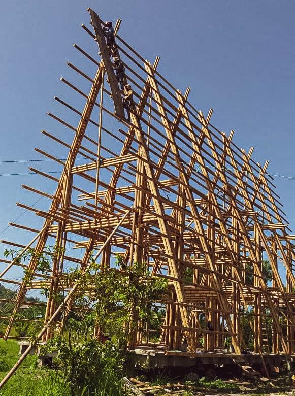
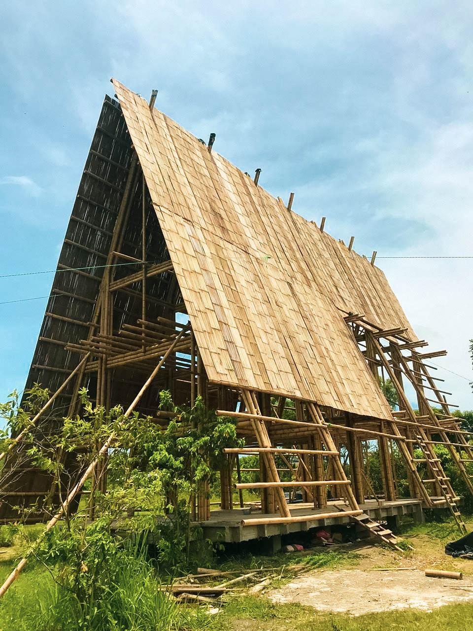
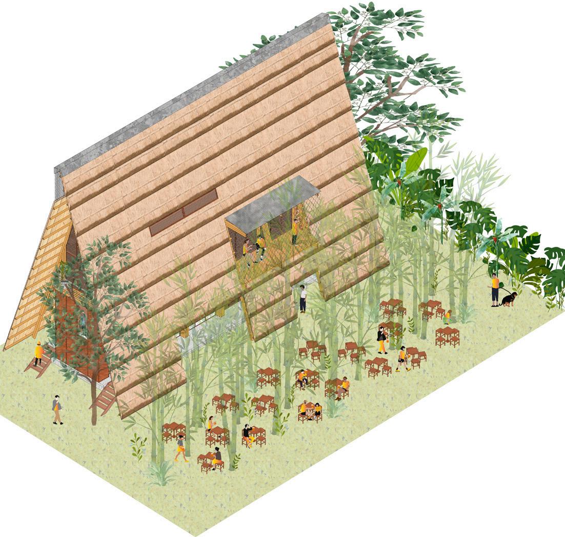
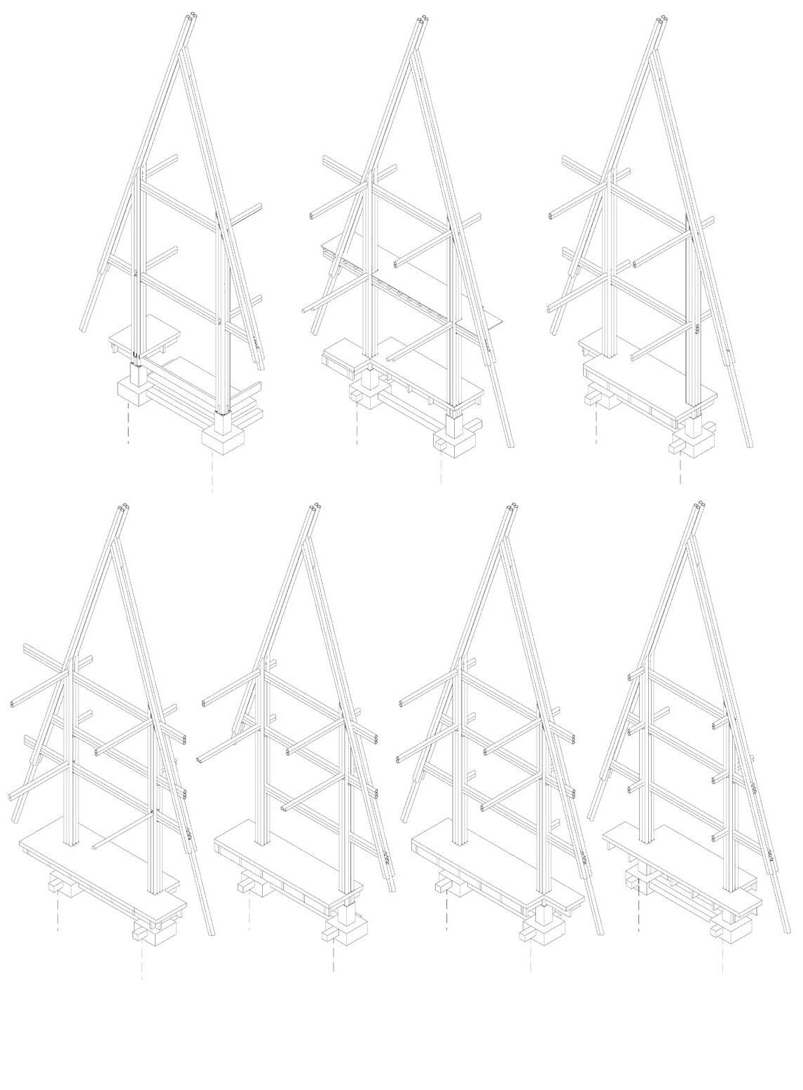
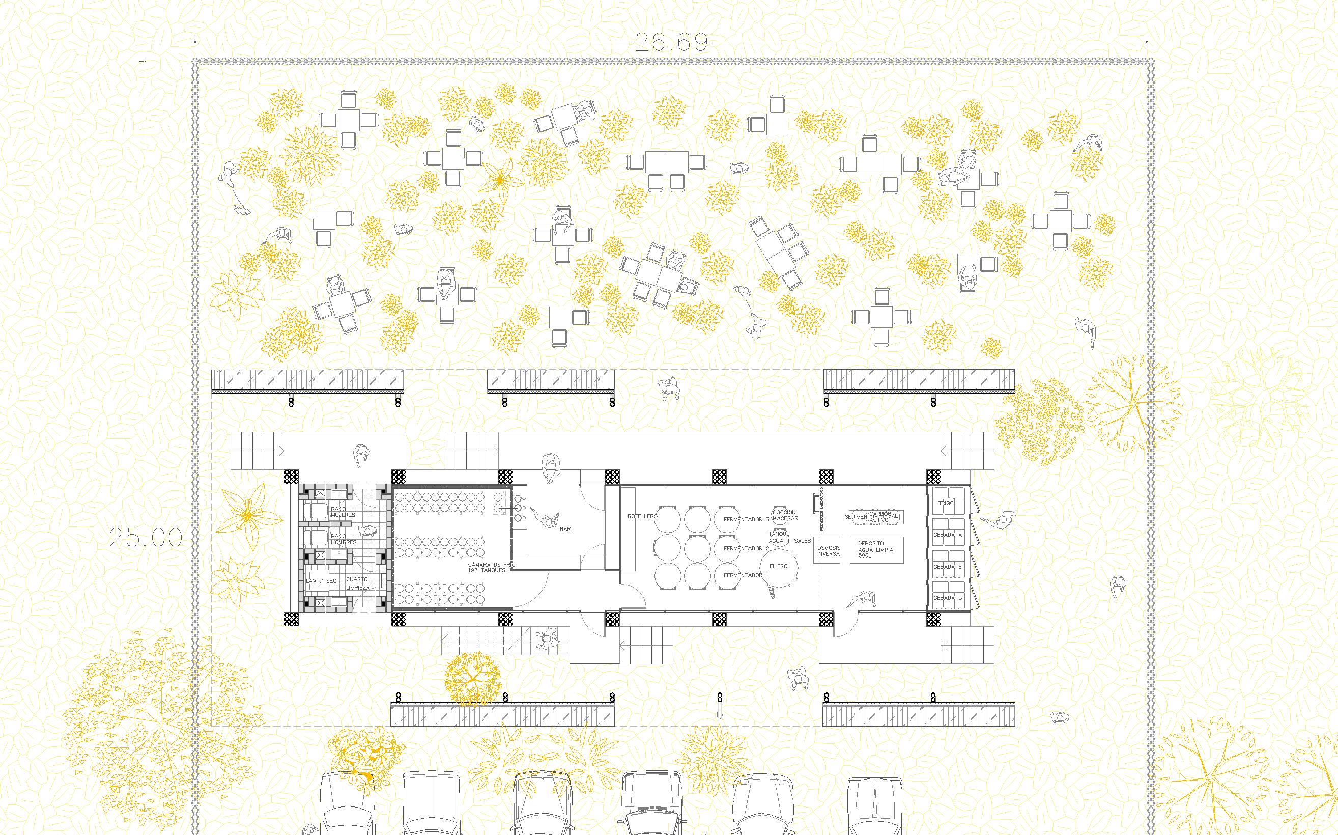
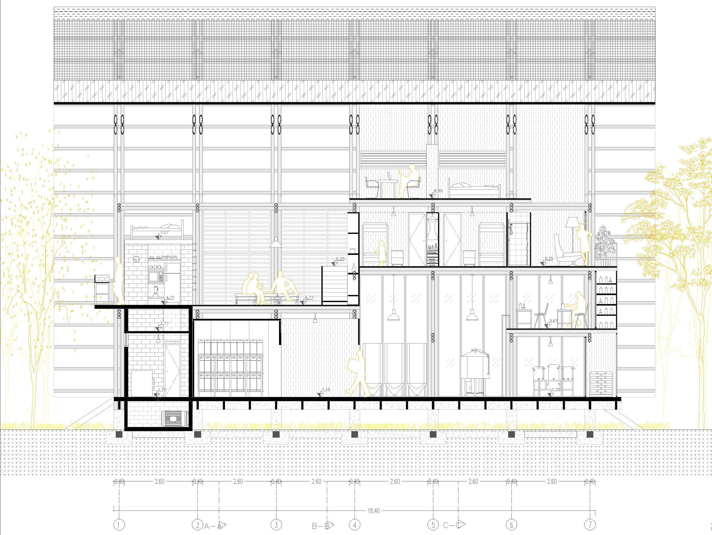
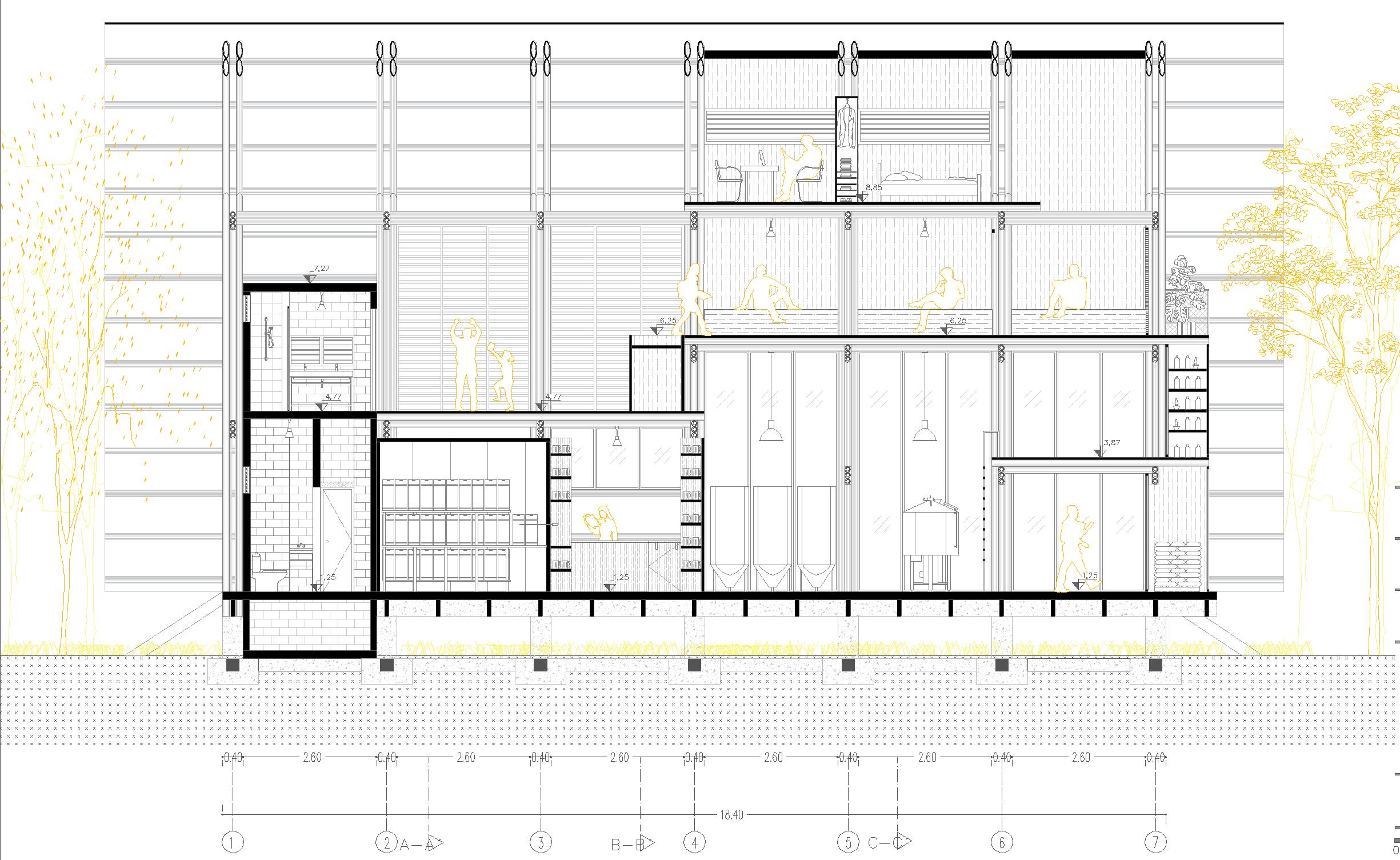
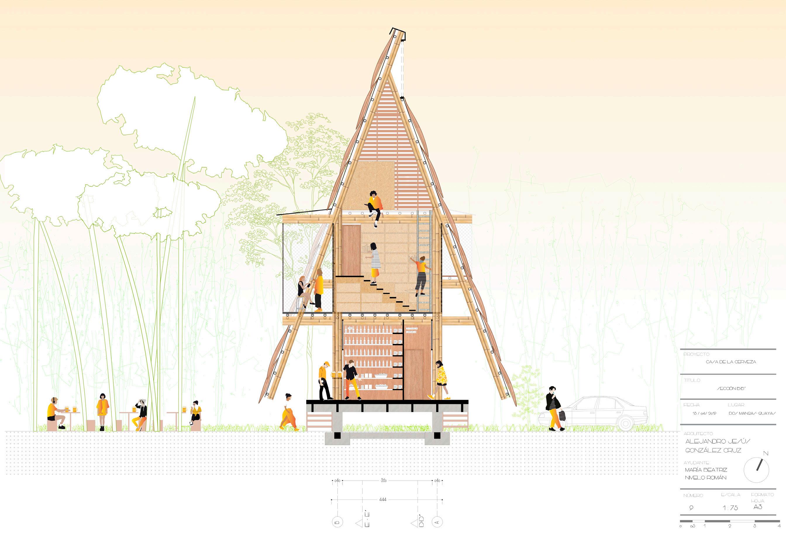
The project aims to design and build a skeletal bamboo structure that rises from the ground to generate hierarchies of levels that respond to the architectural program of single-family housing + craft beer factory. A constructive system is explored where the vernacular is articulated to the game of full and empty to generate interactive spaces for residents, visitors and tasters of the drink.
22
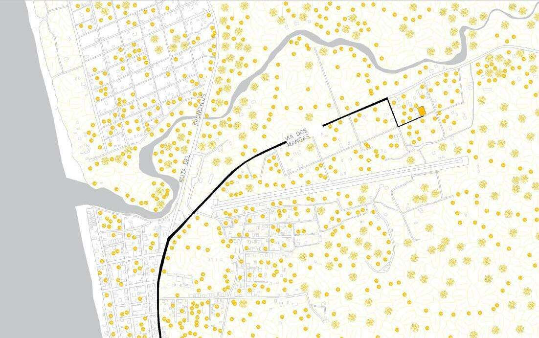
23 Location Axonometry Bamboo rib systems FERMENTADOR CÁMARA DE FRÍO 192 TANQUES FERMENTADOR FERMENTADOR TANQUE AGUA SALES INVERSA CEBADA B CEBADA A CARBÓNPROYECCIÓN LABORATORIOBAÑO MUJERES BAÑO CUARTO 25.00 ARQUITECTO: ALEJANDRO JESÚS GONZÁLEZ CRUZ MARÍA BEATRIZ NIVELO ROMÁN ESCALA 1 100 N AYUDANTE: PROYECTO: CASA DE LA CERVEZA TITULO: PLANTA GENERAL EN EL CONTEXTO FECHA: 15/ 06/ 2019 LUGAR: DOS MANGAS- GUAYAS NÚMERO FORMATO HOJA A33 1 A A B B 2 3 4 5 6 7 Ground Floor A AAAA B BBBB 1234567 A B
24 Section D-D´
Section E-E´
CASA DE LA CERVEZA
A-A
TITULO: NÚMERO
ALEJANDRO JESÚS GONZÁLEZ CRUZ
MARÍA BEATRIZ NIVELO ROMÁN ESCALA 1 75
N
0.402.600.402.600.402.600.402.600.402.600.402.600.40 18.40 2346 A-AB-BC-C
2.602.602.602.602.602.60 18.40 2346 A-AB-BC-C
BEATRIZ
10 01/ 2020 A3
FACHADA NORT.E SIN ALEJANDRO JESÚS GONZÁLEZ CRUZ MARÍA BEATRIZ NIVELO ROMÁN
FECHA: LUGAR: DOS MANGASNÚMERO
TITULO: NÚMERO
1 75
B3 0,5
ALEJANDRO JESÚS GONZÁLEZ CRUZ MARÍA BEATRIZ NIVELO ROMÁN ESCALA 1 75
B3
15 / 06/ 2019 15 ARQUITECTO: ALEJANDRO JESÚS GONZÁLEZ CRUZ MARÍA
NIVELO ROMÁN ESCALA 1 75 N AYUDANTE: PROYECTO: CASA DE LA CERVEZA TITULO: FECHA: LUGAR: DOS MANGAS- GUAYAS NÚMERO FORMATO HOJA A3 SECCIÓN D-D 0.40 2.60 0.40 2.60 0.40 2.60 0.40 2.60 0.40 2.60 0.40 2.60 0.40 18.40 1 2 3 4 5 6 7A-A B-B C-C 0 0,5 1 2 3 4 8,85 6,256,25 4,774,77 3,87 1,25 CHAZAS DE MADERA DE 1CM X 0,5CM ESTERILLA DE BAMBÚ DE 5MM DE ESPESOR LÁMINA ZINC DE 20 MM DE ESPESOR MARCO DE MADERA DE 60MM CONCRETO F' 250 KM/CM2 LÁMINA METÁLICA DOBLADA ESPESOR 20MM PERNO DE ACERO MARCO DE MADERA DE 60MM PERNO DE ACERO0.58 0.68
FORMATO HOJA A3 FACHADA SUR SIN CUBIERTA 2.60 2.60 2.60 2.60 2.60 2.60 18.40 4
B-B C-C A3 ALEJANDRO JESÚS GONZÁLEZ CRUZ MARÍA BEATRIZ NIVELO ROMÁN 1 75 N CASA DE LA CERVEZA FECHA: LUGAR: DOS MANGAS- GUAYAS NÚMERO A3 0.40 2.60 0.40 2.60 0.40 2.60 0.40 2.60 0.40 2.60 0.40 2.60 0.40 18.40 4A-A B-B C-C 0,5 2 4 10 01/ 2020
Front
elevation Front elevation without cover Rear elevation Rear elevation without cover Section B-B´
26
27