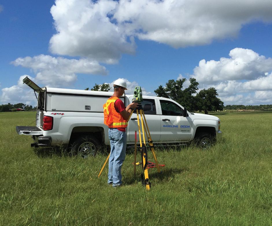


Baseline | DCCM and Shine | DCCM provides surveying and mapping expertise to a growing list of clients in both public and private work sectors.
Our surveyors and technicians employ state-of-the-art field equipment and technology for the collection and interpretation of advanced surveys and maps. Our experience includes a broad range of architectural and engineering design projects including land development, facilities, commercial, residential, transportation, highway, bridge, utility, and drainage for clients in both the public and private sectors. Our survey team can also provide mapping services
for projects requiring right-of-way (ROW) acquisition, hazardous waste sites, and petrochemical installations for the oil and gas industry. We perform control surveys and staking services for construction projects and provide photogrammetric and GPS support for large-area planning and design.
It is these services, coupled with first-rate customer service, efficient time management, and proven reliability, which make our team and our clients a success.
- Registered Professional Land Surveyors (RPLS) and Licensed State Land Surveyors (LSLS) in Texas
- Professional Land Surveyors (PLS) in Oklahoma and Colorado
- Certified Federal Surveyor (CFedS)


Our mission is to listen to our client’s needs, enhance the trust we have earned, and continue to provide high-quality survey solutions to get the job done right, on time, and within budget.
- Land Boundary Surveying
- Topographic Surveying
- Route Surveying
- Right-of-Way Mapping
- Horizontal and Vertical Control Surveys
- Control for Aerial Mapping
- ALTA/NSPS Land Title Surveys
- Construction Surveying
- Platting
- Locative Surveys
- Political Boundaries Surveys
- Abstracting
- Bathymetric Surveys
- Investigative Surveys
- Terrestrial Laser Scanning
- Coastal Boundaries
- State Land Surveying
- Private Tract Boundaries
- Gradient Boundaries
- Geographic Information Systems
- Unmanned Aerial Systems
- 1.9.1 - GIS and Data Analysis* - 15.1.1 - Right-of-way Surveys*† - 15.2.1 - Design Survey*† - 15.2.2 - Construction Survey*† - 15.3.2 - Terrestrial Photogrammetry*
- 15.3.3 - Terrestrial LiDAR* - 15.3.4 - Mobile LiDAR* - 15.3.5 - Horizontal and Vertical Control*† - 15.3.6 - Airborne LiDAR*
- 15.5.1 - State Land Surveying*†
* Baseline | DCCM † Shine | DCCM
(Headquarters)
Baseline | DCCM
1750 Seamist Drive, Suite 160 Houston, Texas 77008
713.869.0155
TxSurv F-10030200
Baseline | DCCM
1701 Southwest Parkway, Suite 104 College Station, Texas 77840
979.693.2777
TxSurv F-10030200
Baseline | DCCM
1527 East Common Street
New Braunfels, Texas 78130
830.606.3913
TxSurv F-10030200
Baseline | DCCM
1801 Gateway Boulevard, Suite 205 Richardson, Texas 75080
972.535.6325
TxSurv F-10030200
Baseline | DCCM
2401 Double Creek Drive, Suite 200 Round Rock, Texas 78664
512.292.0006
TxSurv F-10030200
Baseline | DCCM
14350 Northbrook Drive, Suite 101
San Antonio, Texas 78232
210.490.7847
TxSurv F-10030200
Baseline | DCCM
114 North Austin Street Seguin, Texas 78155
830.372.1001
TxSurv F-10030200
Shine | DCCM
330 North 4th Street
Silsbee, Texas 77656
409.385.9383
TxSurv F-10040800