Close Encounters: Berlin
Constructing Hybrid Networks Across Various Scales
Design Report
Andong Guo
Bolun Hua
2 Contents Part 0
004 016 050 088 106 122 156 182 Part
Introduction
1 Scale of 1:1 Part 2 Various Scales Part 3 Scale of 1:2000 Part 4 Scale of 1:500 Part 5 Scale of 1:100 Part 6 Scale of 1:50 Part 7 Conclusion
Glossary
Technostructure: The technologitical infrastructure platforms that shape both our social field and our cultural landscape.
Critical Zones: A thin layer of the Earth's surface where complex interactions between rock, soil, water, air, and living organisms occur.
Field Station: Small, remote outpost of a laboratory or experimental facility for human and nonhuman to interact with.
Non-human Animate: Living organisms that are not human, encompasses various forms of life, such as animals, plants, fungi, and micro-organisms.
Device: A sentient object equipped with sensors to collect and process data (both input and output).
Interbau 57: An example of modernism exhibition, a successful trial of integration of nature into the living space in 1957, Berlin, Hansaviertel.
IBA Neubau: An urban development project that aims to explore innovative architectural and urban design solutions for a new area or district within Berlin.
Kollektivplan: Collective Plan, a form combining a linear city and garden city, a hybrid between city and landscape.
Stadtlandschaft: City-landscape
Transgressing Urbanism: A theoretical framework or approach within urban studies. Richly Constructed & Beautifilly Wild, the idea of tolerance, co-existence and personal
Transgressing Humanism: A concept that challenges traditional human-centric perspectives and explores alternative ways of understanding human freedom in the sense of community. within ecosystems. existence and its relationship with the world.
Transgressing Ecology: A concept that challenges traditional understandings of ecology by exploring alternative perspectives, practices, and interactions
3
Abstract
This architectural thesis delves into the transformative impact of datadriven technologies and computational processes on our built environment, emphasizing the interconnectedness between virtual infrastructure and physical spaces. Through a lens inspired by Bruno Latour’s ‘Paris, the Invisible City’, the thesis explores the abstraction of urban data in Berlin, revealing potential connections and relationships between historical landmarks, wildlife sightings, and urban amenities.
Central to the investigation is the concept of the Critical Zone, a shared ecological realm where human and non-human entities coexist and codepend. By acknowledging the agency of non-human beings in shaping urban ecosystems, the design advocates for a paradigm shift towards a more inclusive and empathetic approach to urban design.
To bridge the gap between human and non-human perspectives, a sentient device is developed to collect data beyond human perception, amplifying the voices of voiceless non-human entities. Field stations strategically placed in Tiergarten extend the interaction between human and non-human inhabitants, forming a hybrid network for collective coexistence.
Expanding the scope to the broader context of Tiergarten and Berlin, the architectural design envisions a speculative future where non-human beings are granted sanctuary and agency within the urban fabric. Through iterative model-based design, a nature-dominated landscape seamlessly integrates into the urban tapestry, fostering ecological harmony between human and non-human beings.
Utilizing design-led methodologies, this thesis employs physical models to explore ideas across various scales, offering a tangible blueprint for transformative action in urban planning and design.
This design report is a testament to the collaborative efforts of three individuals, with special recognition to Shiyu Zhang, a MArch 1 student whose seamless integration into the team was indispensable. Her invaluable contributions played a pivotal role in the realization of this project, and we are deeply grateful for her dedication and expertise.
4
Close Encounters: Berlin
Constructing Hybrid Networks Across Various Scales
Infrastructure and Technostructure
Just like the invention of telephone communication drastically shaped our perception of ‘conversation’, technology has historically held the power to transform the nature of the society at a fundamental level. It is no longer the singular piece of technology innovation which would have an impact the daily life, it is the network that the technology weaves into, the idea of technology infrastructure, or technostructure as philosopher Gernot Böhme argued, constitutes the inseparable part of our society. From bike rental to environmental monitoring, virtually every aspect of live can now be digitized, blurring the lines between the virtual and material.
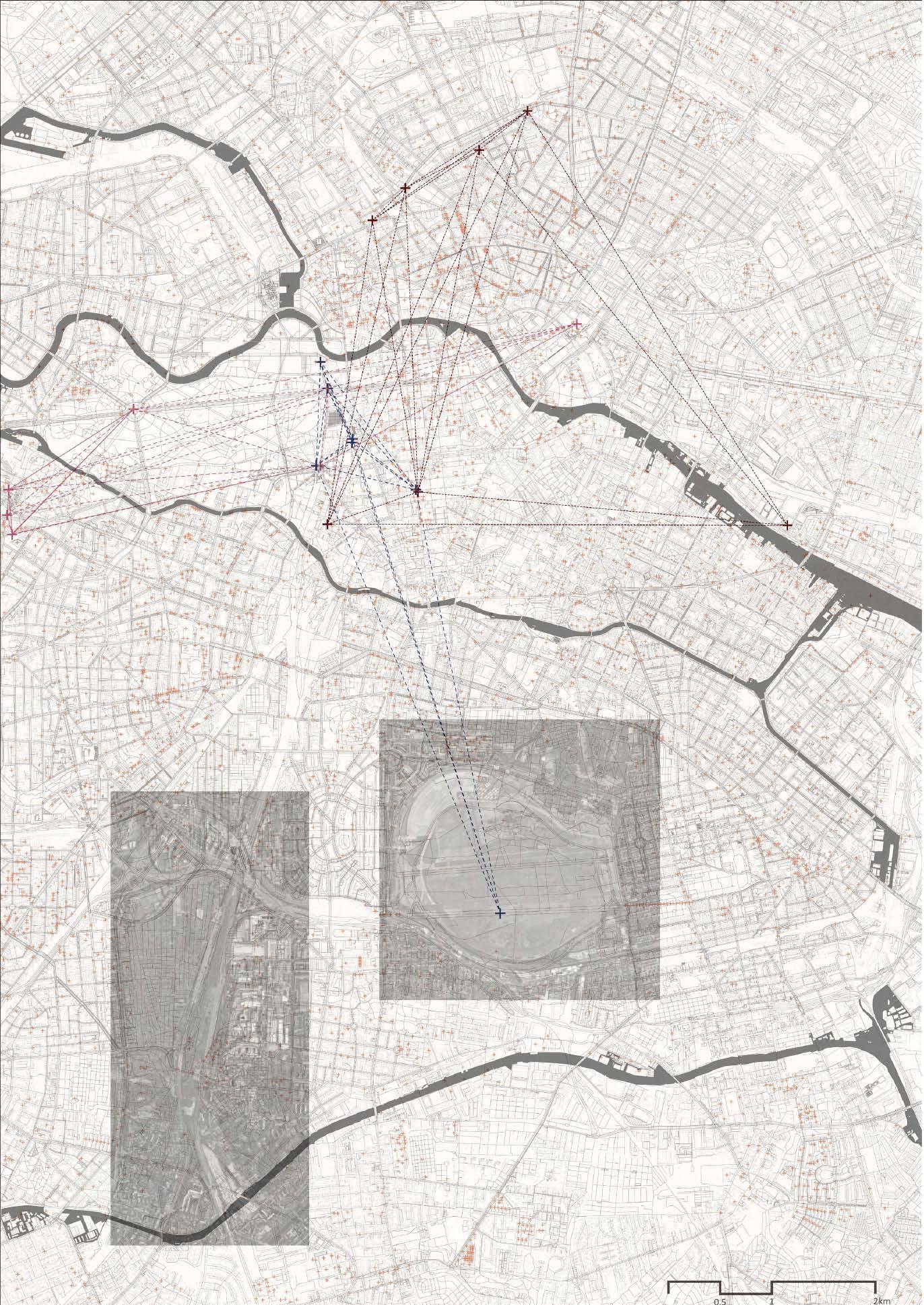
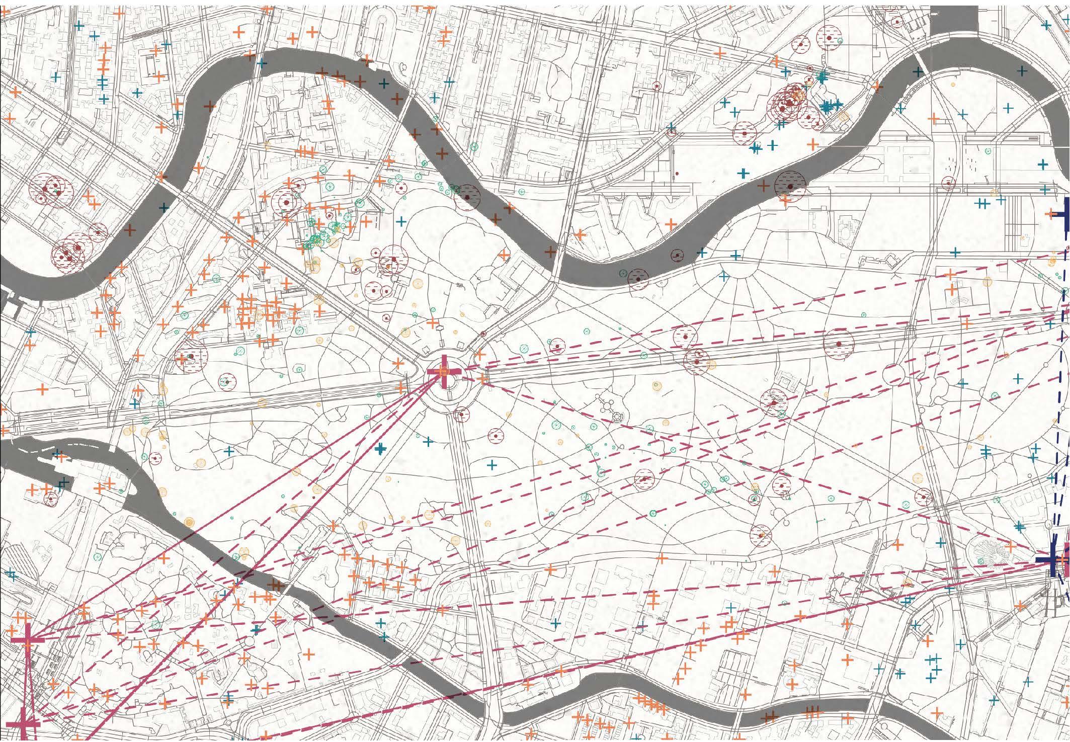
This project starts by investigating the most intriguing and influential contemporary layer of data-driven technologies and computational process nowadays shape our built environment across all scales. Study begins by harvesting the data in the virtual world in Berlin. A highly representational, detailed map unfold in front of us before we even set foot on the city. Just as Bruno Latour demonstrated in his book, Paris, the Invisible City, it is the very act of abstraction offers a chance to look beyond the object itself into the bigger picture. Historical places, wild animal sightings, Next bike renting spots has all become tokens, icons that describes potential connections with each other.
Critical Zones
This urban investigation serves as a lens through which we confront one of humanity’s most pressing challenges: the planetary-scale climate emergency, and our increased collective awareness of the entangled fragility of our earthly ecosystems. The idea of we as human being among with other forms of life are all sharing a ‘Critical Zone’, a thin crust near the surface of the Earth where life can be sustained as Bruno Latour describes. A layer of soil with such ‘tight’ coexistence. Human and nonhuman organisms are intimately enmeshed and co-dependent within this shared ‘zone’ – their living environment are co-generated
and interrelated, and thus cannot be extricated from one another. This calls for a radical change of perspective in regard to what constitutes ‘collective life’ in an urban ecosystem, which is vastly different from an anthropogenic reading of the city as an entirely human construction. Recognizing the mutual dependence of all beings within this shared zone, our project advocates for a radical shift in perspective, acknowledging the agency of nonhuman entities in shaping our collective environment. By foregrounding the interconnectedness of human and nonhuman life within urban landscapes, we seek to foster a deeper appreciation for the complex web of relationships that sustain our cities and ecosystems alike.
Active Models, Close Encounters
To bridge the gap between human and nonhuman perspectives, a sentient device is developed to collect data and experience the city through nonhuman senses, an object which records data that beyond human perception. Drawing on Actor Network Theory, a network consists of the human – hence us the researcher, and the device – a nonhuman object and the cultural and natural landscape of Berlin – Tiergarten, participates and shapes our coexistence future. The device act as an amplifier, a pair of eyes to see the unseen and a pair of ears to hear the unheard to human being, which gives the voiceless nonhuman animates a voice. By collecting and interpreting data beyond human perception, we gain insight into the complex interplay between urban and natural spaces. At this stage, the input device become an output device, a digital landscape is constructed to further explore a possible coexistence future. Through iterative experimentation and close engagement with our surroundings, we aim to cultivate a more inclusive and empathetic approach to urban space, one that embraces the diversity of life forms and experiences that define our shared environment. Field Stations are strategically designed and placed in Tiergarten to purposefully extend the interaction between human and nonhuman. These Field Stations act as starting point of constructing a hybrid network, a web weave human and nonhuman animate together for a collective future.
6
Expanding for A Speculative Futures
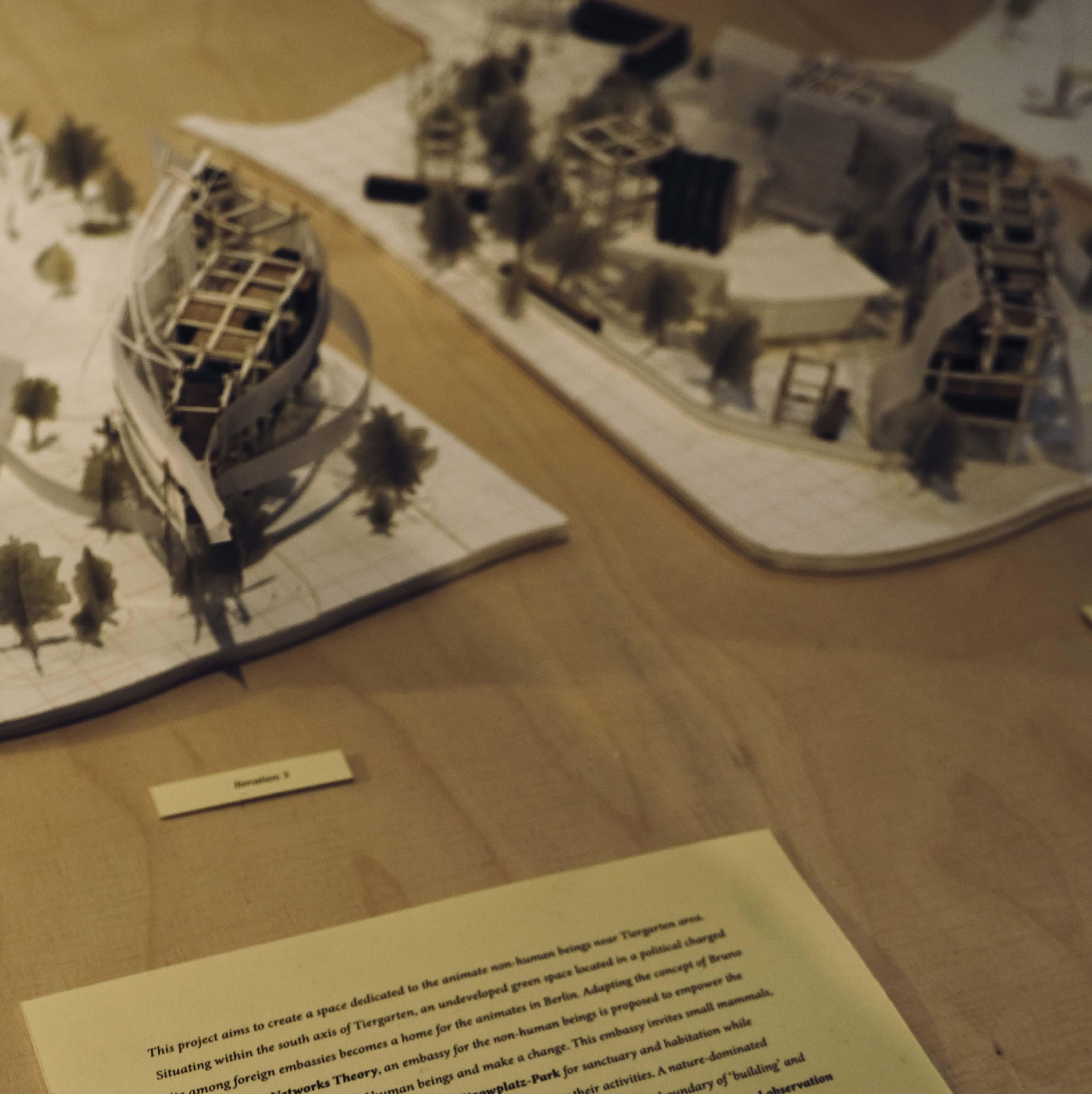
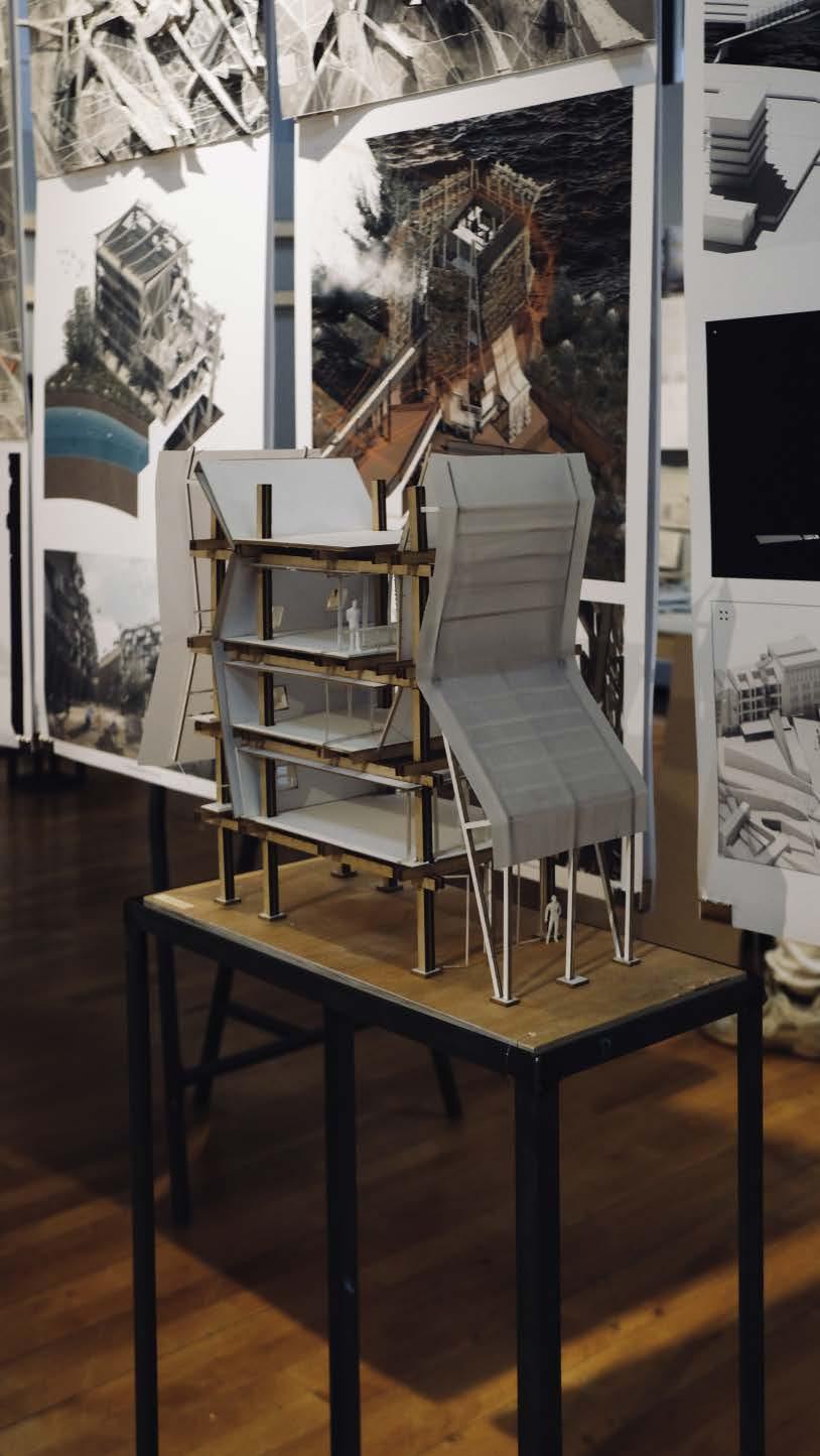
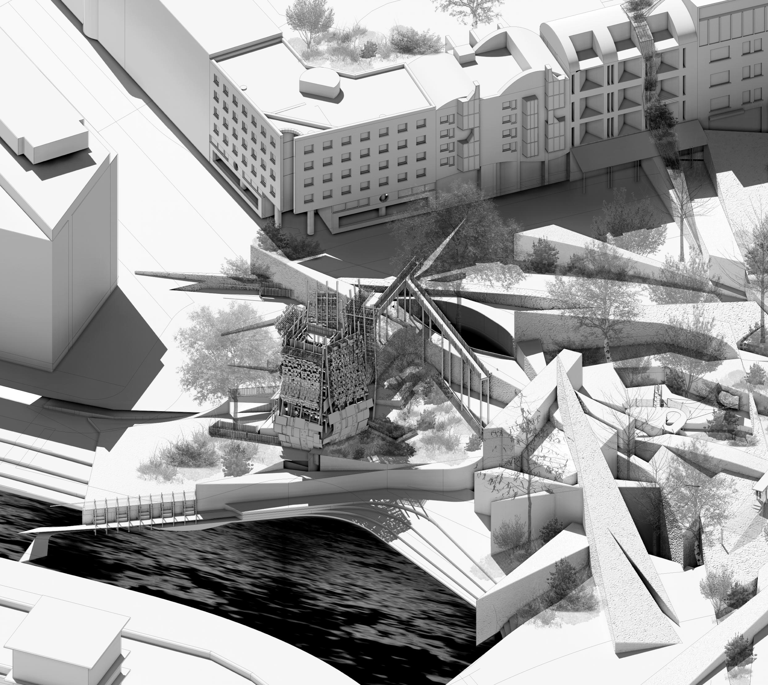
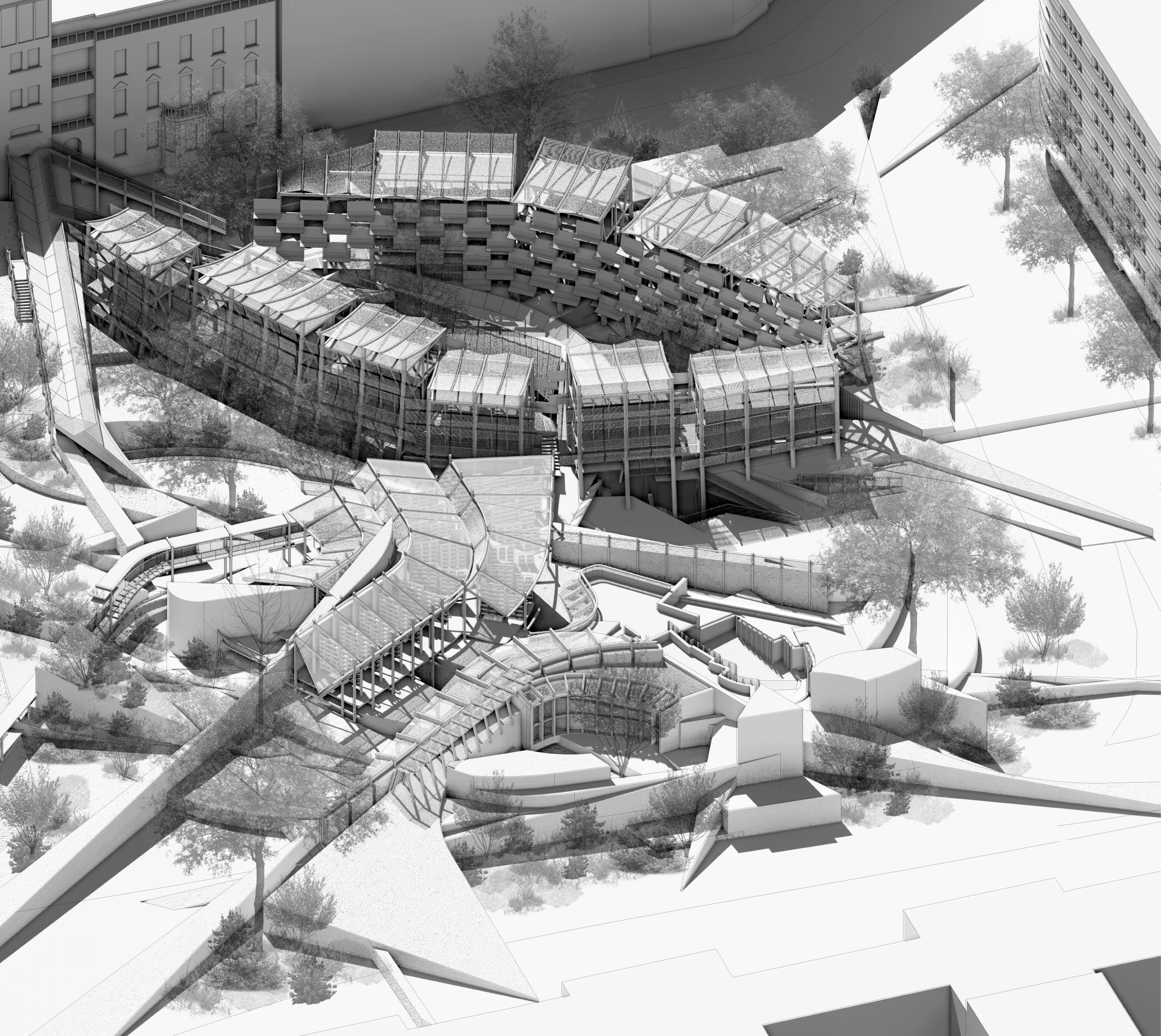
Building on our insights from field research, we expand our focus to the broader context of Tiergarten, we expanded our views to the larger area of Berlin. Based on the extensive research on the nonhuman animate sharing the living space with humans, we shift our focus from the once prosperous InterBau site to the NewBau area, reimagining a speculative future living in Lützowplatz-Park which nonhuman beings are granted sanctuary and agency within the urban fabric. The AIV 2024 Schinkel-Preis competition with its open theme helps to explore the question with more urban integration. Located in Lützowplatz-Park and surrounded by foreign embassies, an embassy for the nonhuman beings aims to create a space to empower the voiceless with the same right of human beings for sanctuary and habitation while botanists and zoologist work on site offer support and monitor their activities. Through iterative model-based design, we propose a nature-dominated landscape seamlessly integrated into the urban tapestry, blurring the boundaries between “building” and “park.”, a hybrid networks for both non-human animate and humans. By shifting the narrative away and embracing the agency of nonhuman actors, this project envisions a new paradigm of urban living rooted in ecological harmony between human and nonhuman beings. This vision extends beyond mere theoretical speculation; it offers a tangible blueprint for transformative action, one that challenges conventional notions of urban planning to imagine and co-create a more inclusive and sustainable future.
Exploring Across Scales
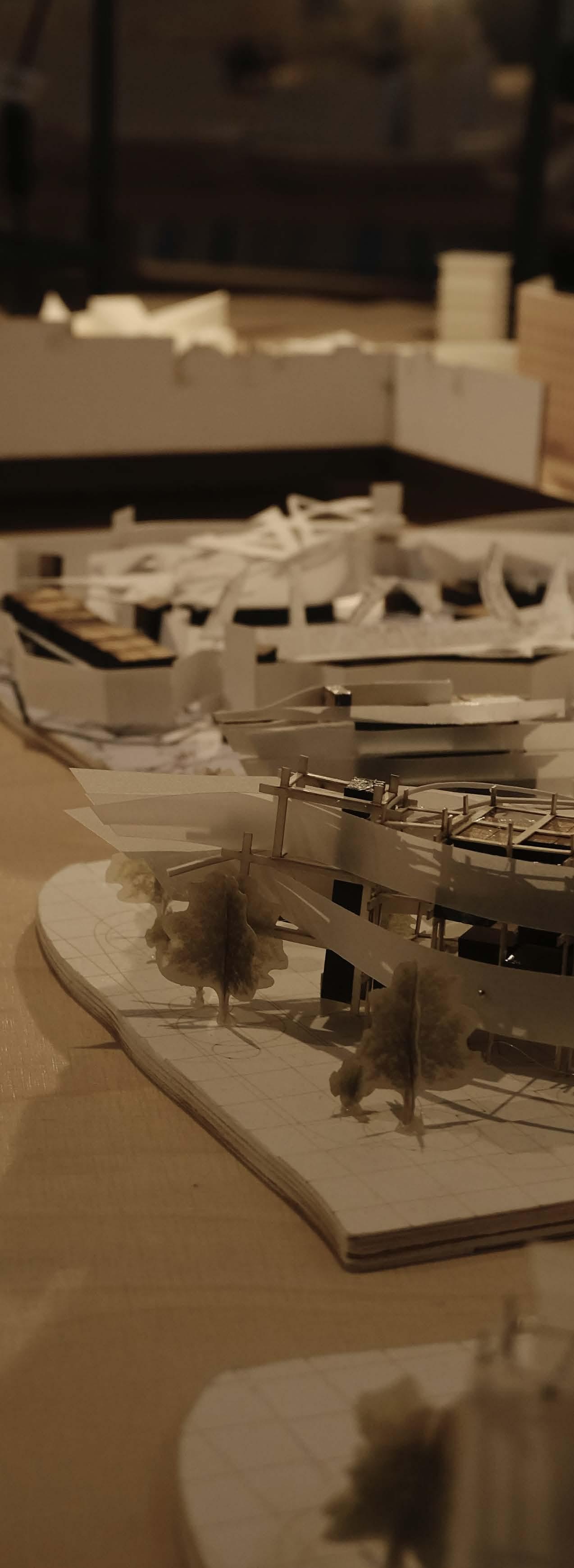
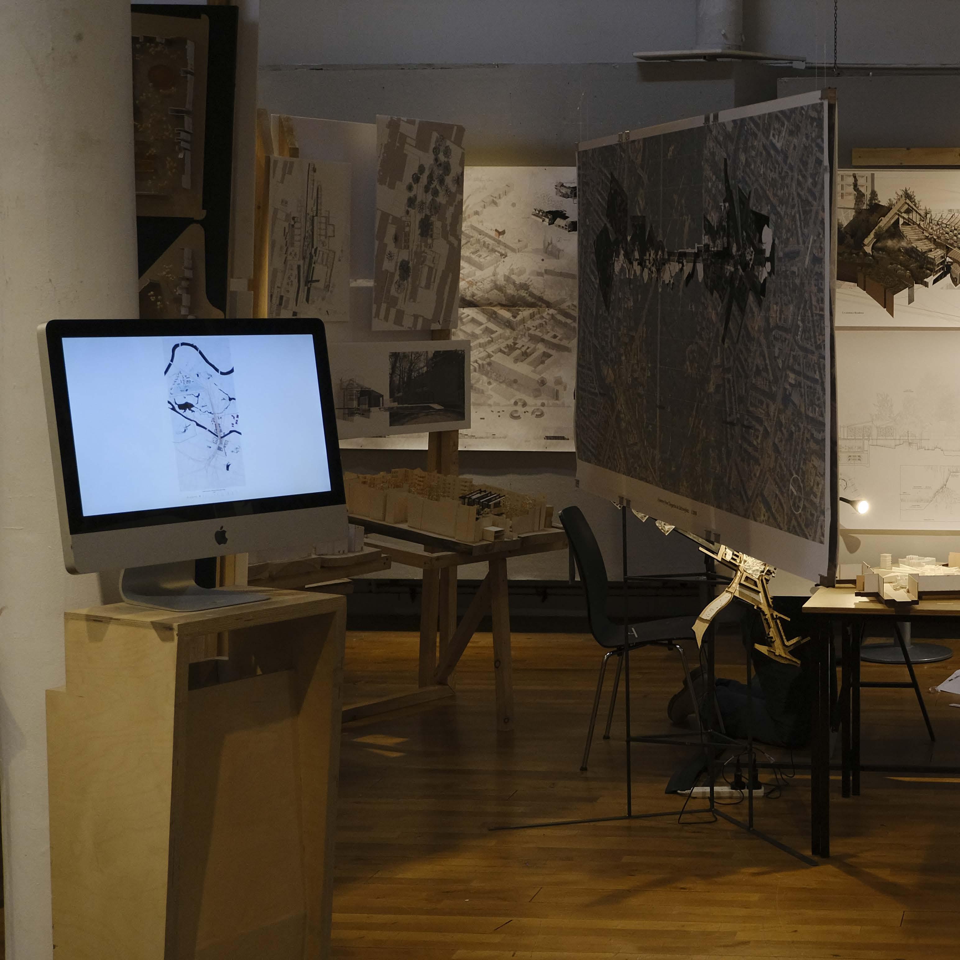
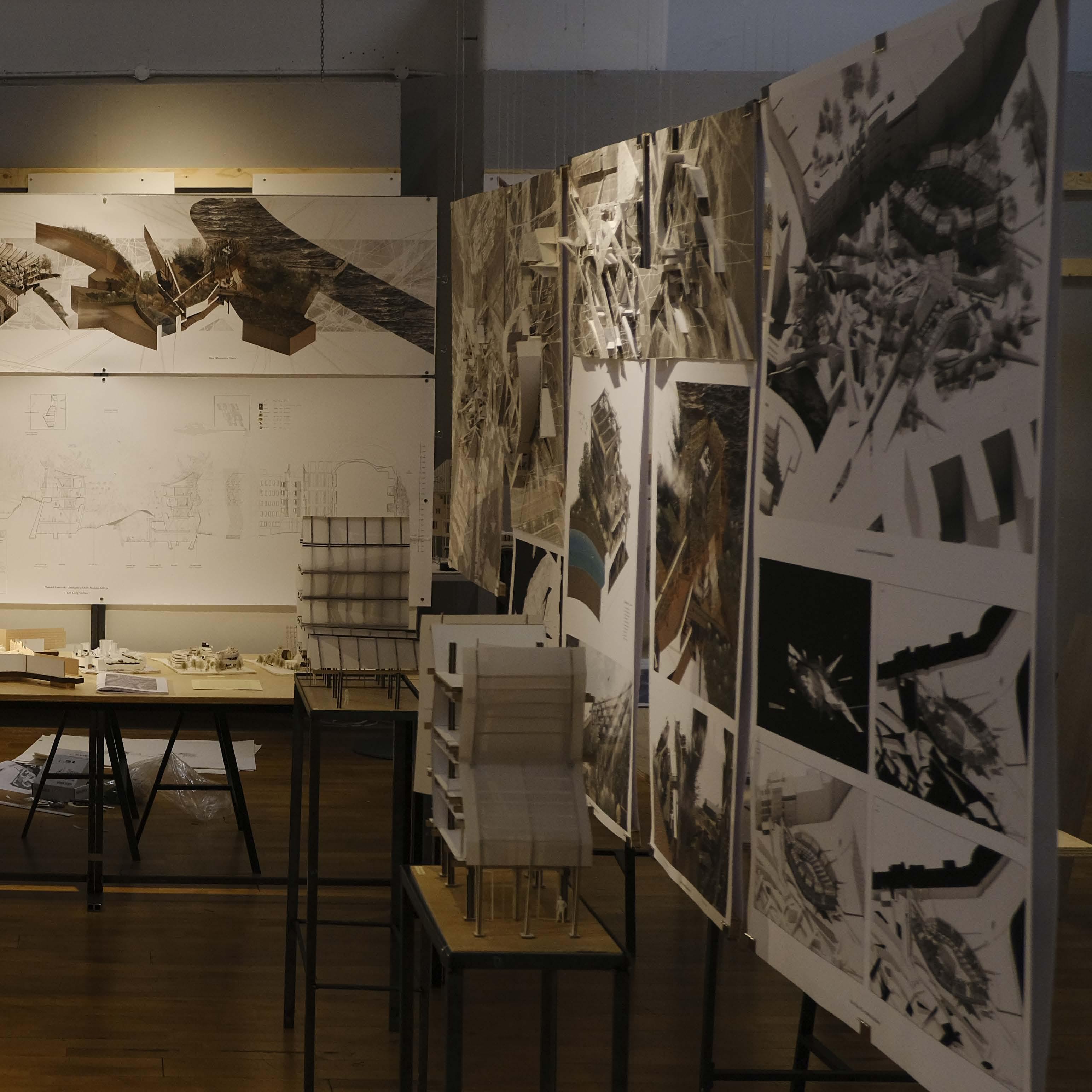
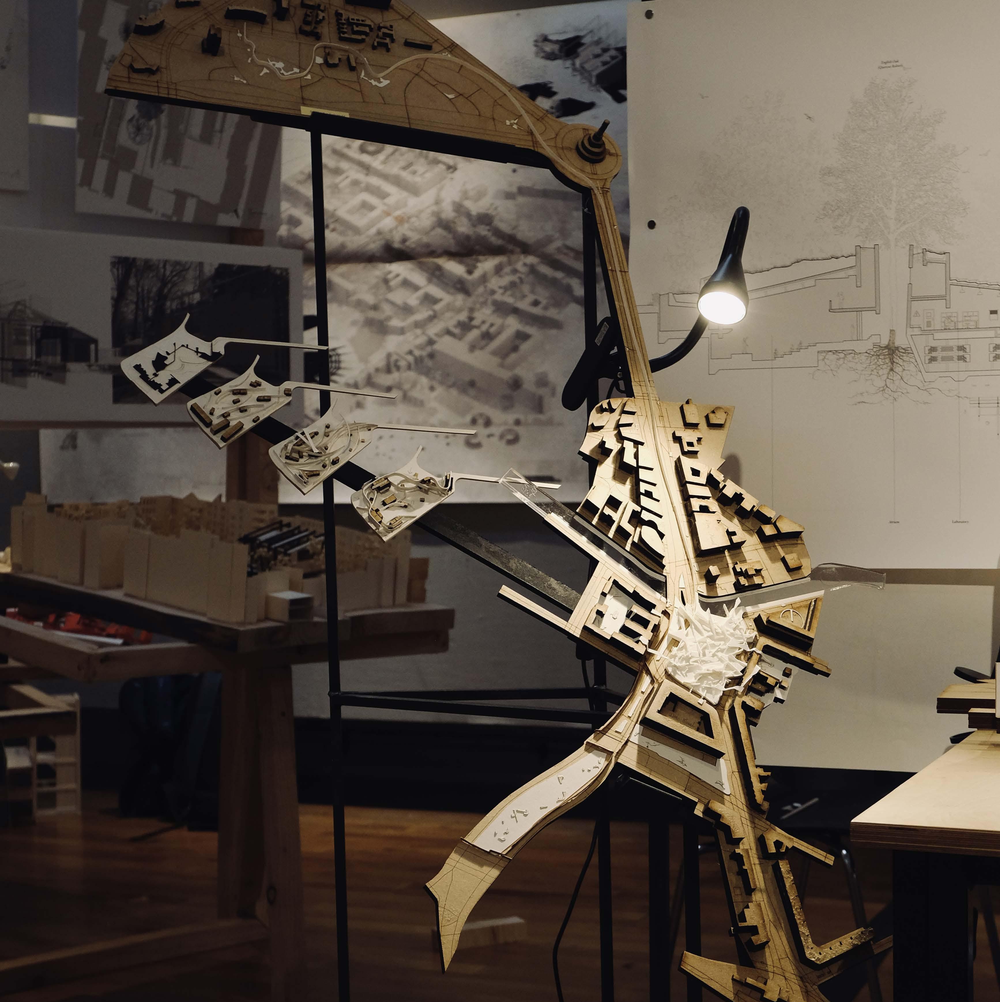
This project employs design-led methodologies, utilizing physical models as the primary tool for exploration and idea generation across various scales. The design report is structured into five parts, each focusing on different scales and aspects of the design process undertaken throughout the academic year.
1:2000 Urban Scale Model

11
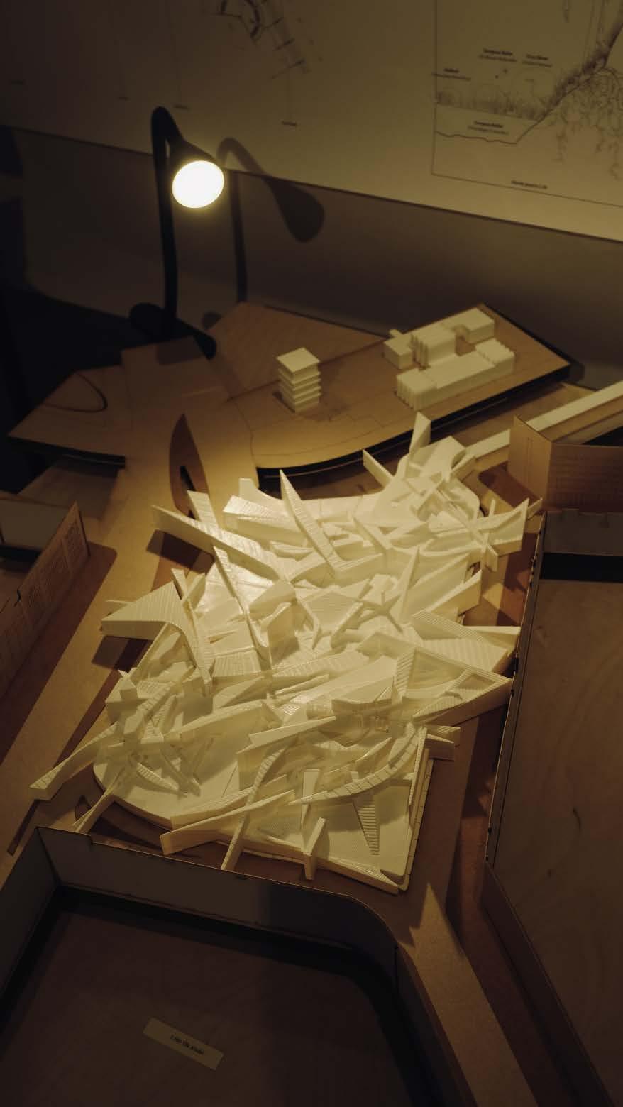
The Digital Landscape
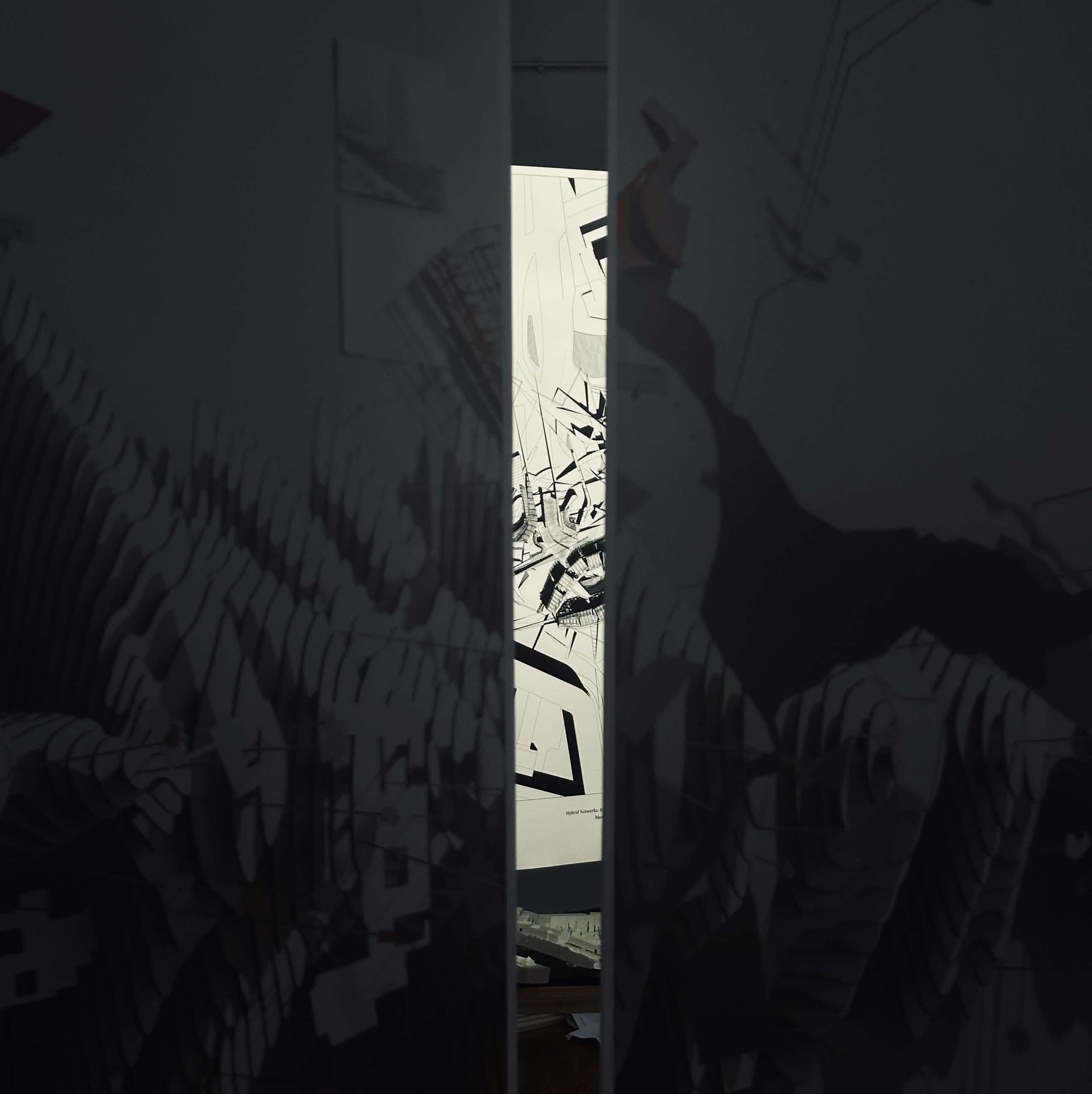
Looking Through
1:500 Site Model Final Proposal
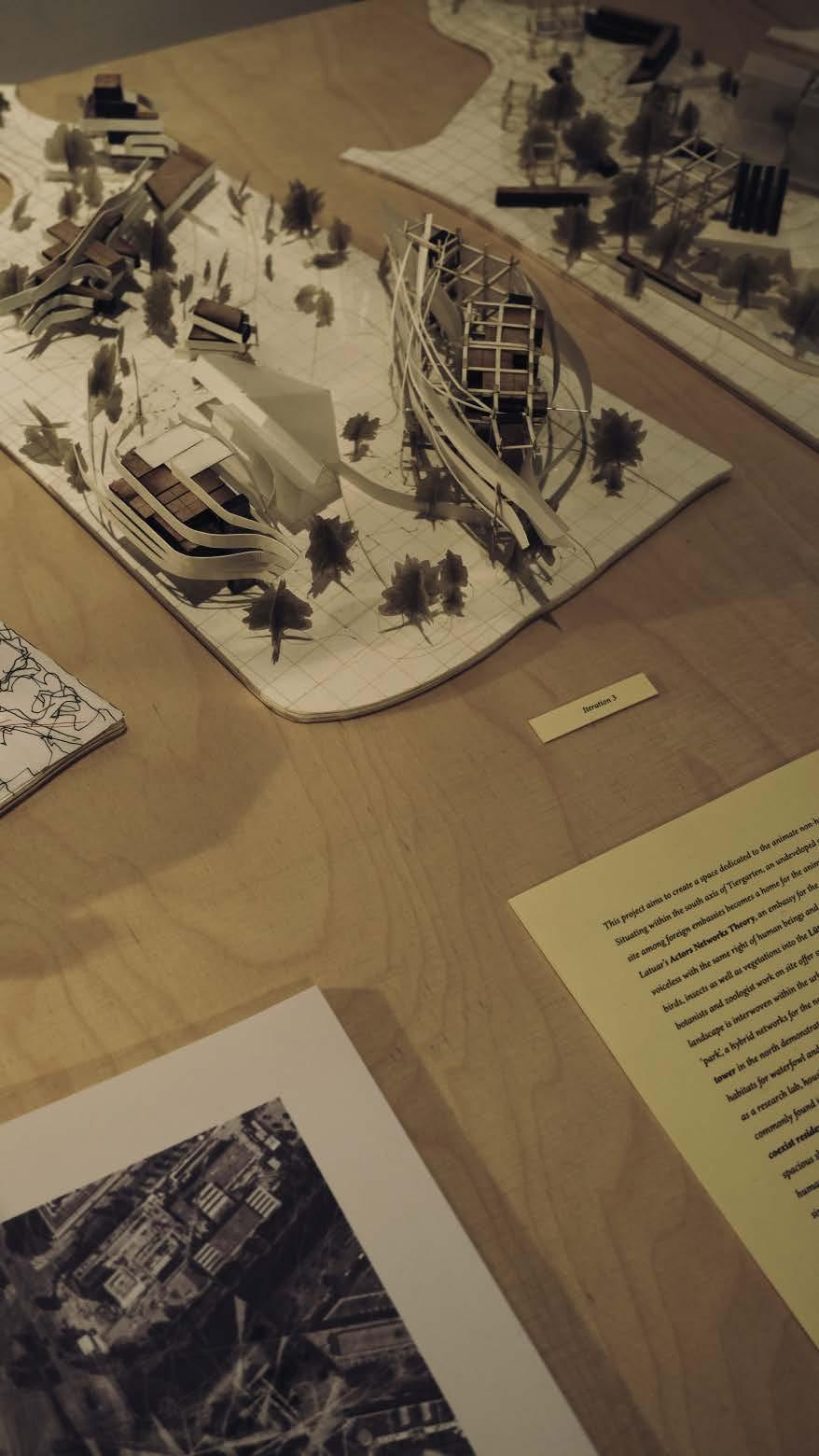
1:500 Site Model Past Iterations
13
14 Final Proposal: Embassy
Bird Observation Tower
15 Embassy of Non-human Beings
Vertical Ecology Greenhouse
Coexistence Residence
 Color and Ultrasonic Distance Sensor in Action
A Sentient Device
Close Encounters within Tiergarten
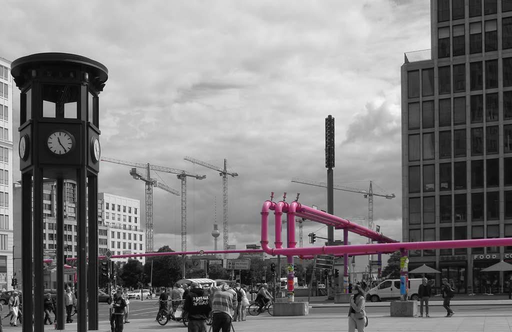
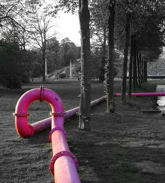
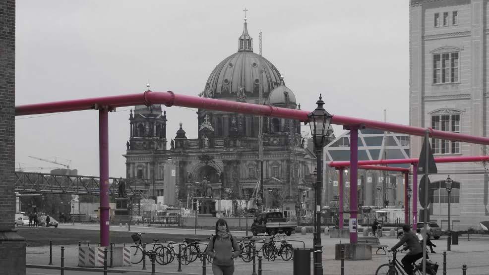
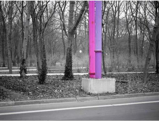
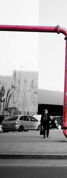
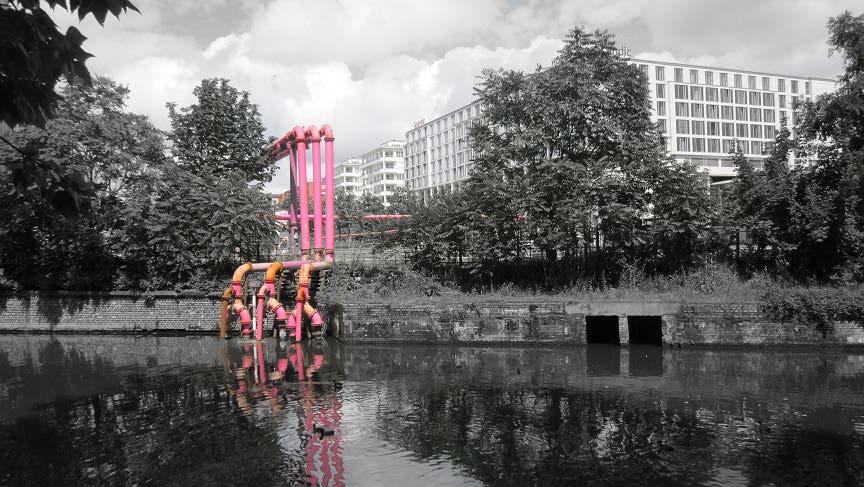
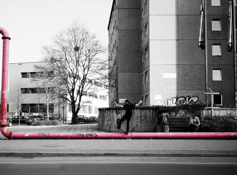
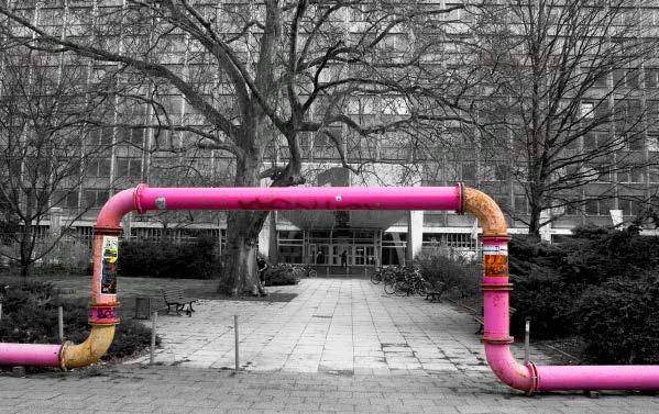
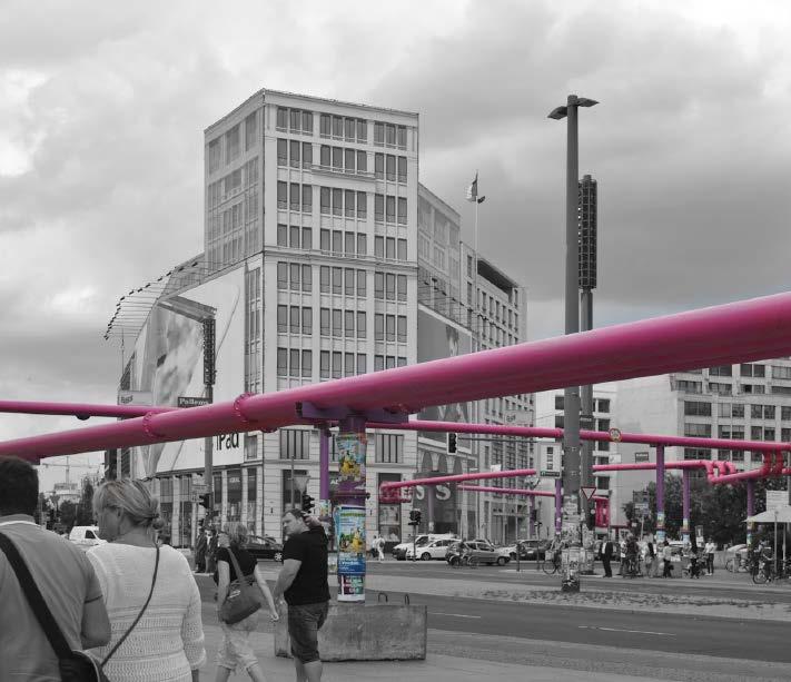
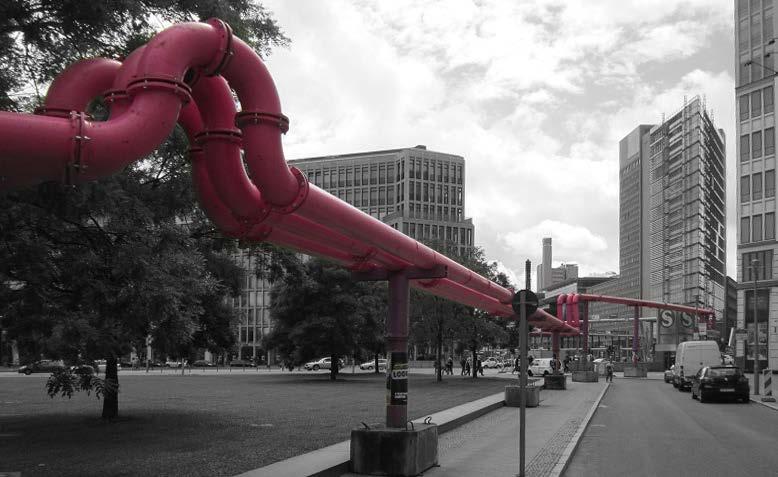
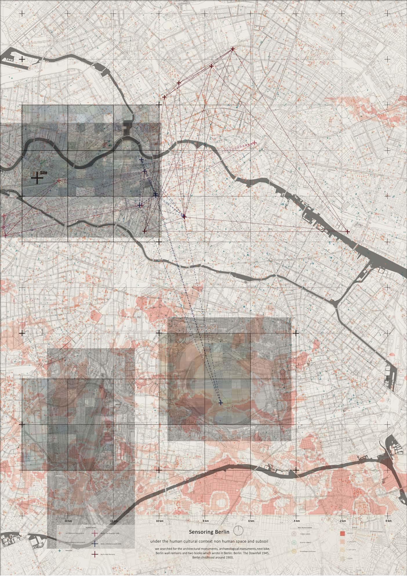
Our research begins by delving into the technostructure of Berlin, a bustling European capital known for its rapid growth and remarkable biodiversity. Through mapping various facets of Berlin and abstracting them, we uncover the intricate interplay between its natural and cultural landscapes. Notably, Berlin's abundance of subsoil water results in fluctuating surface water levels, evident in the ubiquitous pink water pipes connecting construction sites to nearby water bodies. Over time, these ostensibly temporary infrastructures have become ingrained in the cityscape, forming a complex network for water, such nonhuman actors to navigate.
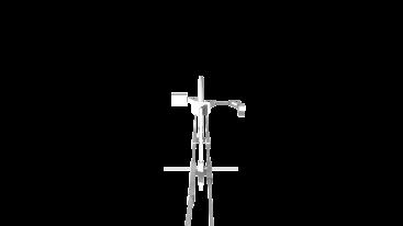
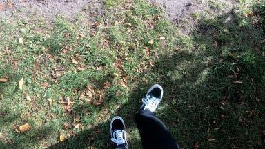
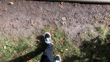
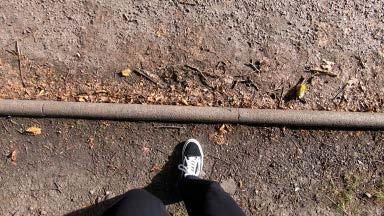
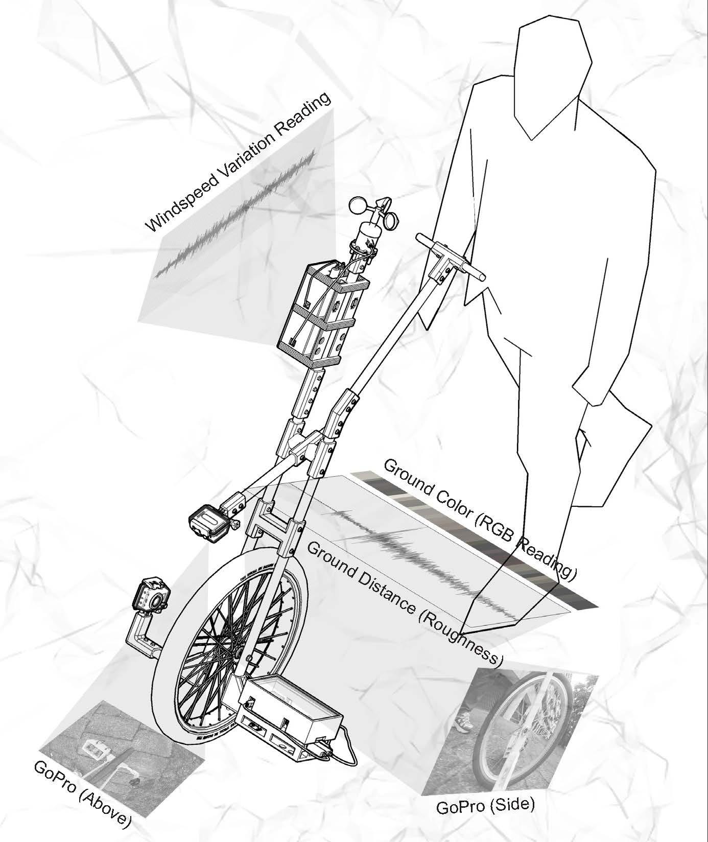
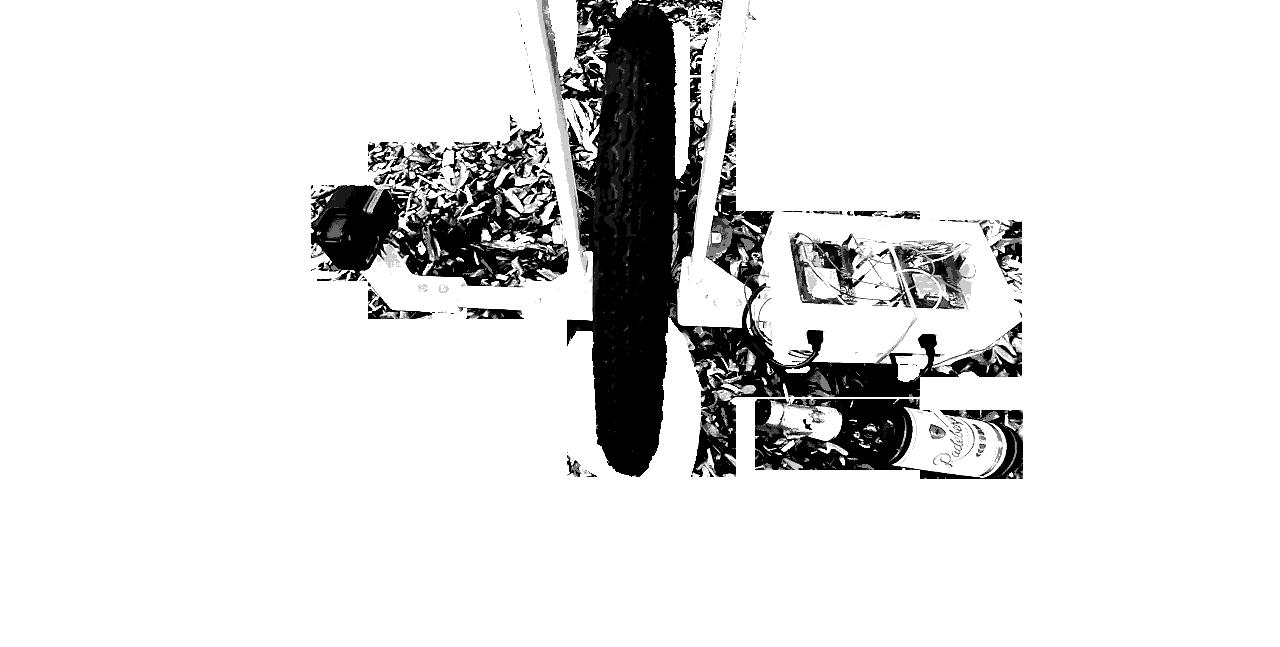
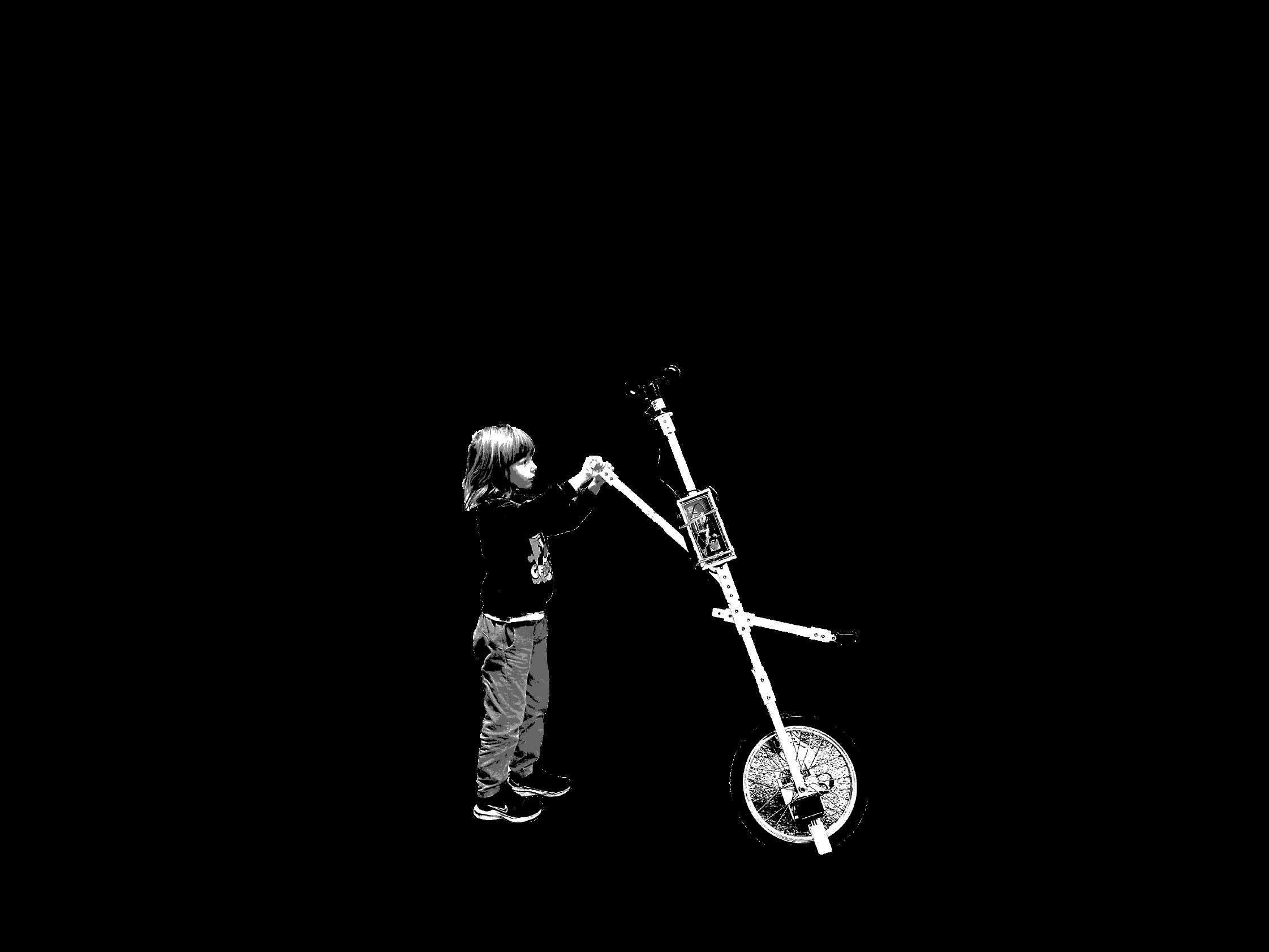
This phenomenon prompts us to question the delineation between natural and urban spaces: is it feasible to establish a definitive boundary between the two? To explore this inquiry, we've developed a sentient device capable of collecting ground condition data, including color and roughness, using color and ultrasonic distance sensors. Equipped with a GoPro camera, this device can capture data along a specified path, offering insights into the hybrid network comprising human intention, sentient nonhuman devices, and the cultural and natural landscape of Tiergarten. Through this interdisciplinary approach, we aim to advance our understanding of the dynamic relationship between technology, infrastructure, and urban ecology.
"The greater the amount of social regulation that takes place via data management and data processing, the more people and things only count as part of society to the extent that they can be defined in terms of data."
17
Gernot Böhme, Invasive Technification: Critical Essays in the Philosophy of Technology (Bloomsbury, 2012), 49
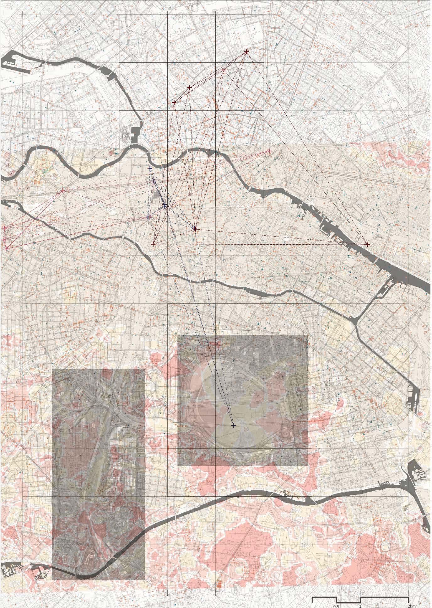
Sensoring Berlin Layer 1: Cultural Landscape
18
Berlin: The Downfall 1945
Berlin Childhood Around 1900
Berlin Wall Remains
Architectural Monuments


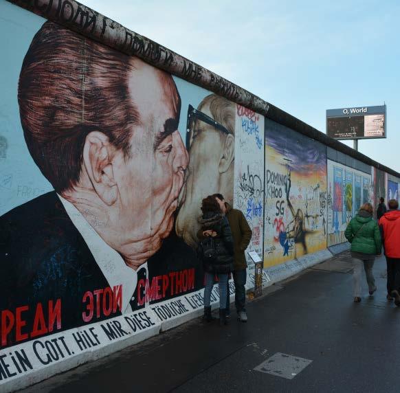
Berlin: The Downfall 1945 Antony Beevor
The Reich Chancellery - 52.5116° N, 13.3812° E
The Führerbunker - 52.5119° N, 13.3813° E
The Brandenburg Gate - 52.5163° N, 13.3777° E
The Reichstag Building - 52.5186° N, 13.3767° E
Tempelhof Airport - 52.4707° N, 13.4023° E
Potsdamer Platz - 52.5096° N, 13.3761° E
Checkpoint Charlie - 52.5075, 13.3903° E
Berlin Childhood around 1900 Walter Benjamin
Tiergarten - 52.5145° N, 13.3501° E
Kaiser Wilhelm Memorial Church - 52.5053° N, 13.3321° E
Alexanderplatz - 52.5219° N, 13.4132° E
Zoological Garden (Zoologischer Garten) - 52.5075° N, 13.3323° E
Potsdamer Platz - 52.5096° N, 13.3767° E
Kurfürstendamm - 52.5036° N, 13.3328° E
The Brandenburg Gate (Brandenburger Tor) - 52.5163° N, 13.3778° E
Berlin Wall Remains
East Side Gallery - 52.5044° N, 13.4432° E
Checkpoint Charlie - 52.5073° N, 13.3906° E
Gedenkstätte Berliner Mauer - 52.5337° N, 13.3888° E
Mauerpark - 52.5404° N, 13.4062° E
Nordbahnhof S-Bahn(Ghost) Station - 52.5347° N, 13.3876° E
https://www.berlin.de/mauer/en/sites/other-key-sites/mauerpark-wall-park/ https://www.berlin.de/mauer/en/
19
Sensoring Berlin Layer 2: Non-human Interaction
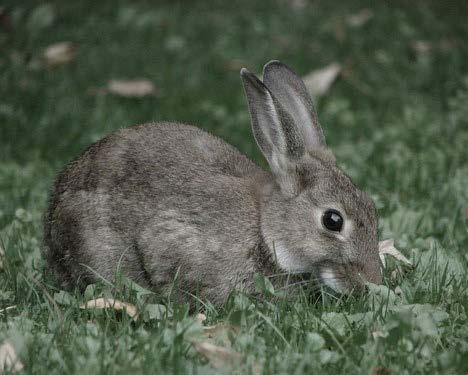
Tiergarten Park serving as the Berlin's green lung akin to London's Hyde Park. Nestled close to the city center and bordered by iconic landmarks like the Brandenburg Gate and Potsdamer Platz, this expansive urban oasis spans 210 hectares, slightly surpassing the acreage of Hyde Park.
The park's rich history dates back to the late seventeenth century when Friedrich III, Elector of Brandenburg and Duke of Prussia, transformed the former royal hunting grounds into a public park for the enjoyment of all. Over the years, Tiergarten underwent several redesigns, with the most significant overhaul taking place between 1833 and 1838 under the guidance of Peter Joseph Lenné, Prussia's esteemed landscape gardener. Drawing inspiration from English landscape design, Lenné reshaped the park, laying the foundation for its enduring charm.
Despite enduring significant damage during World War II and the aftermath of the conflict, including severe deforestation caused by fuel shortages, Tiergarten Park underwent a remarkable rejuvenation effort. Starting in 1949, the park was meticulously replanted, thanks in large part to generous donations of trees from across Germany, restoring its lush greenery and reaffirming its status as a cherished urban sanctuary.

20
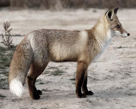

https://www.inaturalist.org/taxa/42069-Vulpes-vulpes
https://www.inaturalist.org/taxa/46001-Sciurus-vulgaris
https://www.inaturalist.org/taxa/43150-Oryctolagus
21
Red Fox (Vulpes vulpes)
Eurasian Red Squirrel (Sciurus vulgaris)
European Rabbits (Genus Oryctolagus)
Tiergarten Being One of the Most Biodiverse Natural Spaces in The City
Sensoring Berlin Layer 3: Subsoil Water Permeability
22
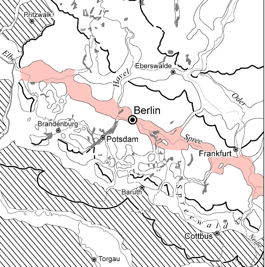
Berlin glacial valley
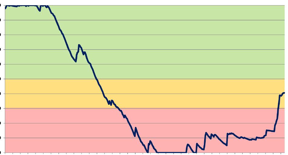
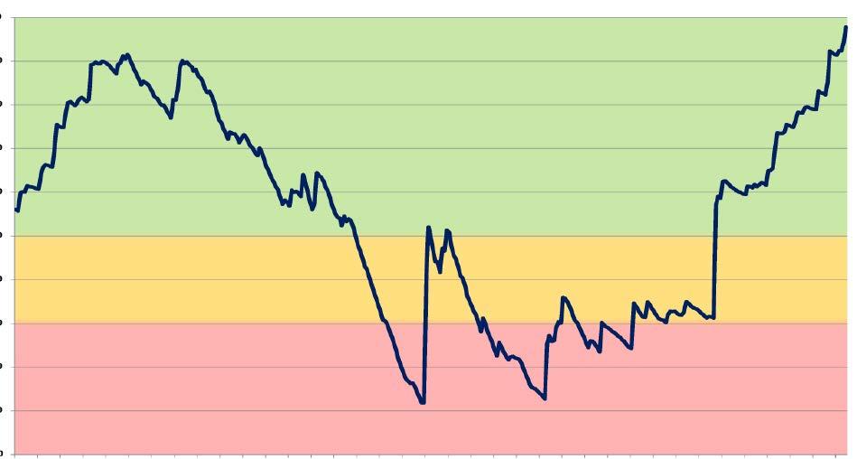
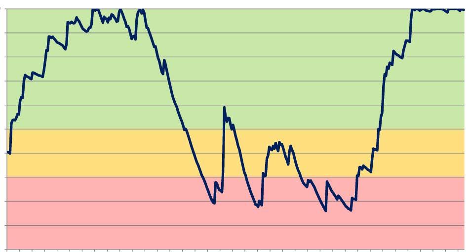
Berlin, a city with its roots in the West Slavic and Old Polabian languages, derives its name from the term for 'swamp'. This history speaks to its marshy terrain and rich subsoil water. The accompanying diagram illustrates the seasonal fluctuations in water levels over the past three years, highlighting a notable decrease from June to October. This observation underscores the critical importance of monitoring water levels to maintain biodiversity within the city.
23
https://fbinter.stadt-berlin.de/fb/?loginkey=showMap&mapId=k02 22 1wasserdurchlaessigkeit2019@senstadt 100 Soil Moisture in % up to 85cm depth 90 80 70 60 50 40 30 20 10 0 Jan Feb Mar Apr May Jun July Aug Sep Oct Nov Dec Safe Pass insufficient 2021 2022 2023
Sensoring Berlin Layer 3: Subsoil Water Permeability
Because the pipelines consist in only basic units of straight and 90-degree parts, most junctions are connected in an intricate way. It operates around the height of 4m, some of them are integrated with traffic lights and road signs. In some area it runs along the ground, Occasionally comes up forming thresholds for building access. All the pink pipes around Tiergarten area end in river Spree and Landwehrkanal.
24
Pink Pipes: nonhuman objects inside the technostructre

25
Pipeline Ends in Landwehrkanal, Tiergarten

Sensoring Berlin Layer 3: Subsoil Water Permeability
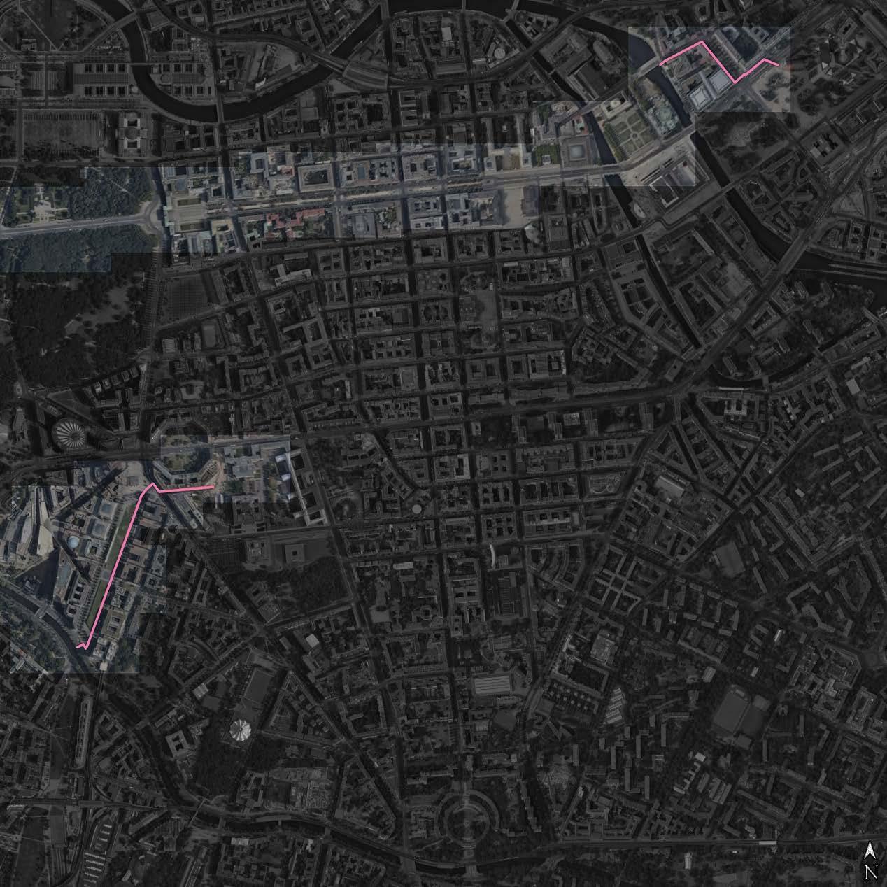
Water Pipes Distribution Around Tiergarten Area
Sensoring
Berlin
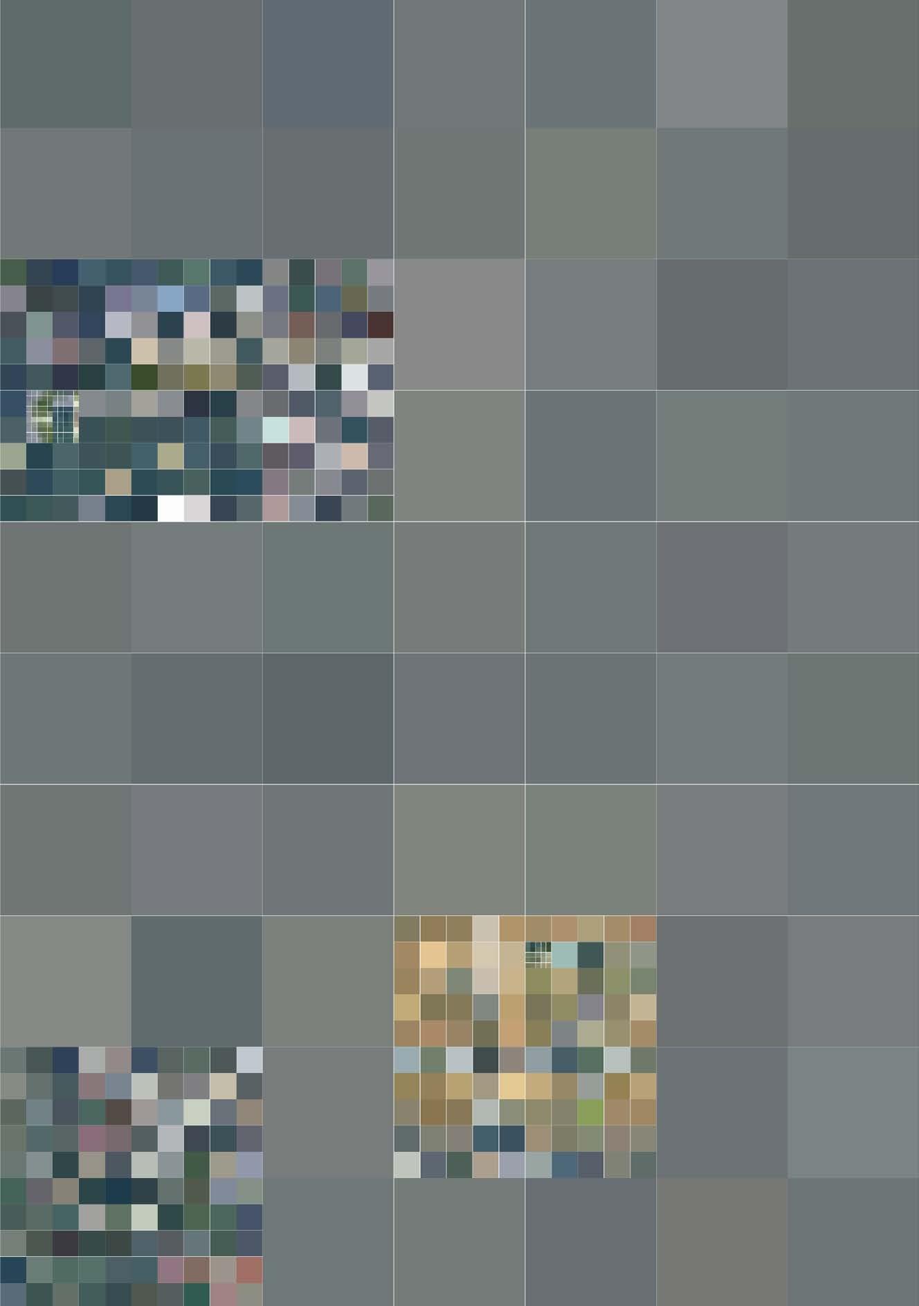
Layer 5: Colours on the Ground
28
Colours: From Afar to Upclose
Operating at a larger scale, a 2km grid appears as a homogeneous shade of grey. However, as the scale of the grid increases to 400m and even further to 80m, distinct shades of green, sand, and brown colors begin to emerge. This observation was inspired by the concept showcased in the video 'Power of Ten', where zooming in reveals increasingly finer details. This realization sparked the idea of using color to differentiate between different textures at much closer distances, enhancing the granularity of our analysis and understanding.
29
Charles and Eames, Ray, "Power of Ten", Youtube, Uploaded by Eames Office, 27 Aug 2010, https://www.youtube.com/watch?v=0fKBhvDjuy0
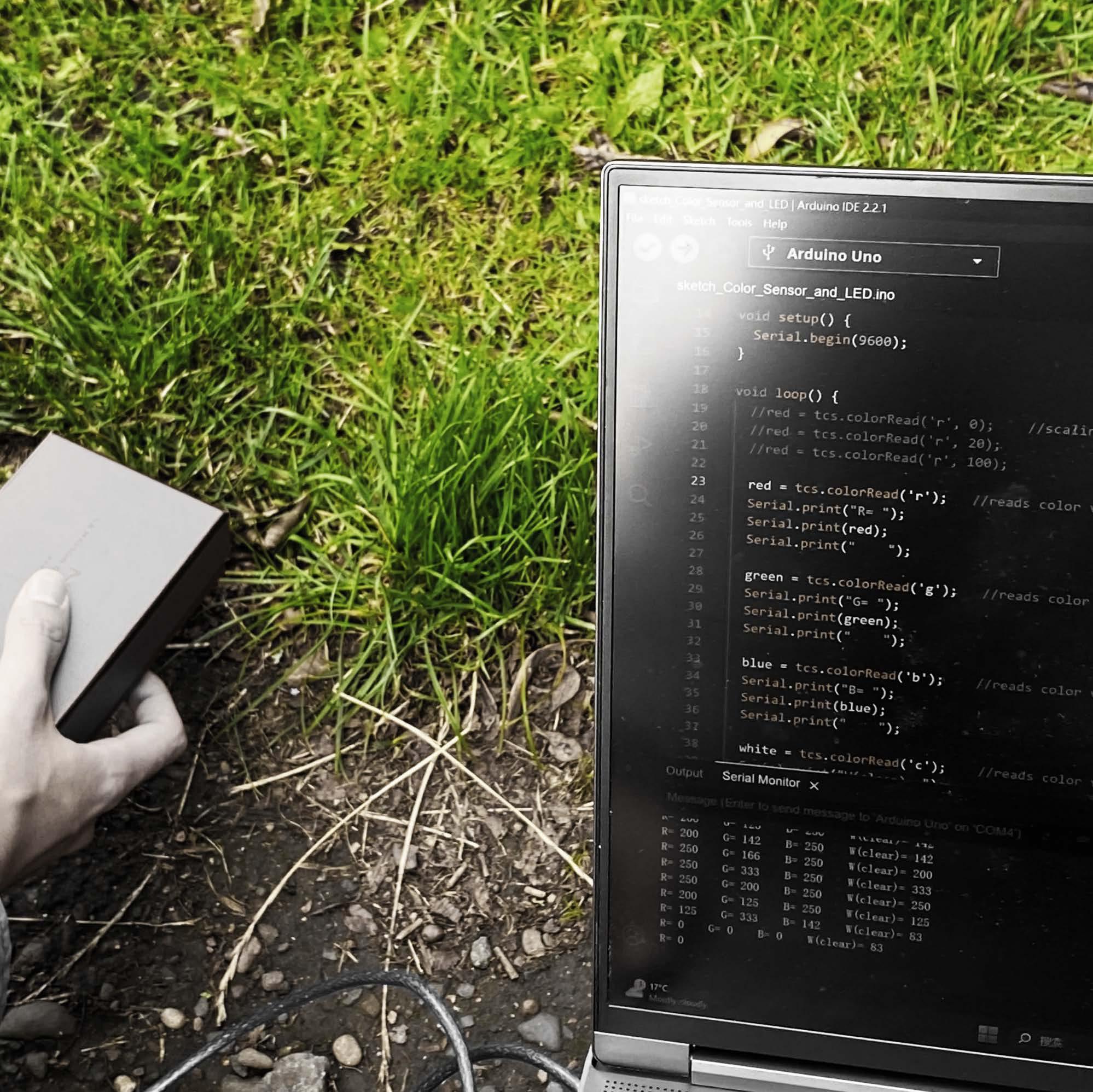
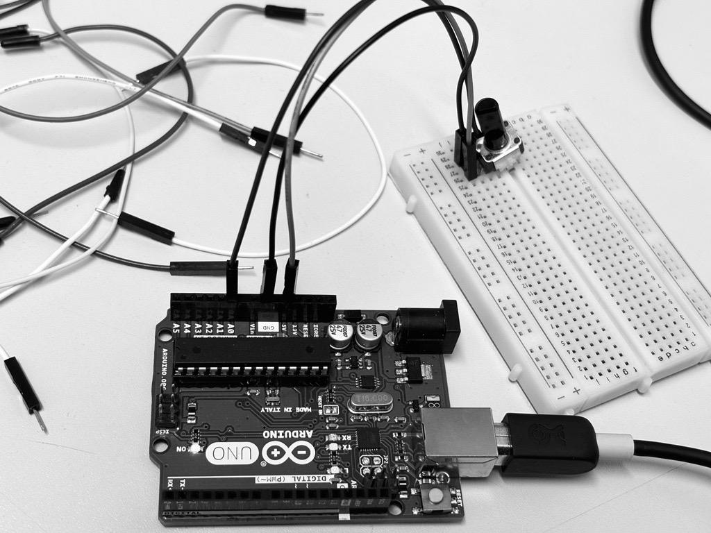
Colour sensor equipped with a LED light, with each reading, the LED lights up to detect the Red, Green, Blue value and store it into excel format sheet




Active Models


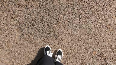

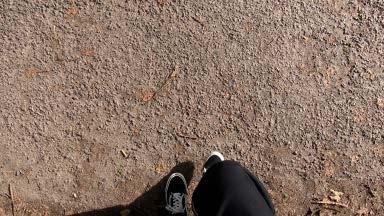
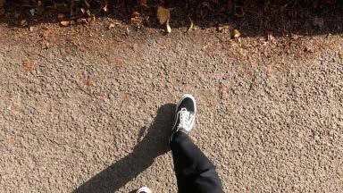
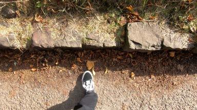
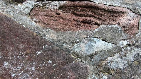
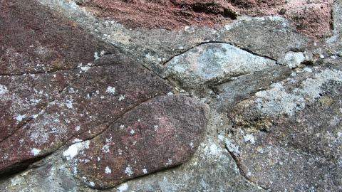
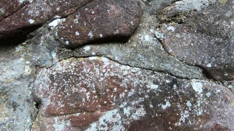
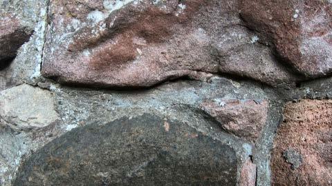
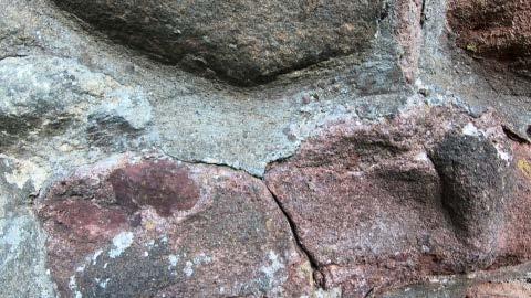
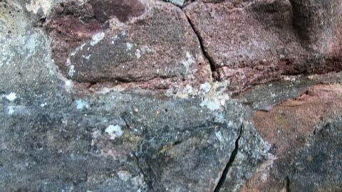
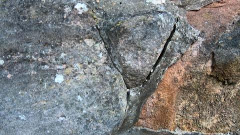
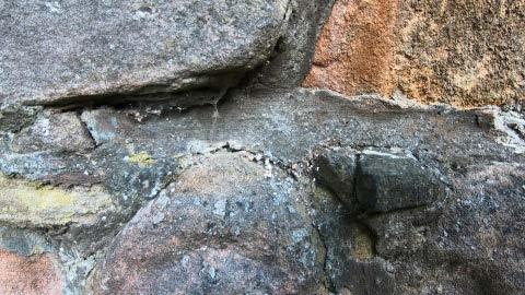
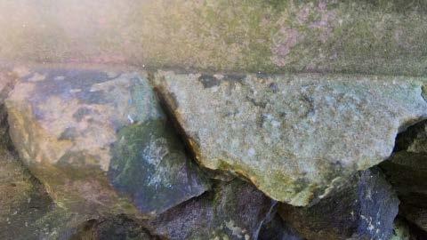
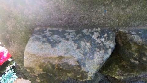
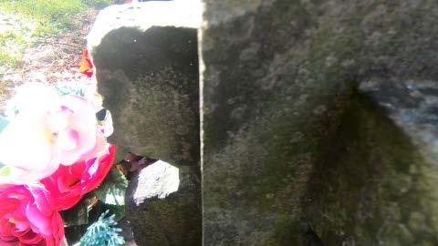
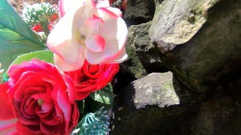
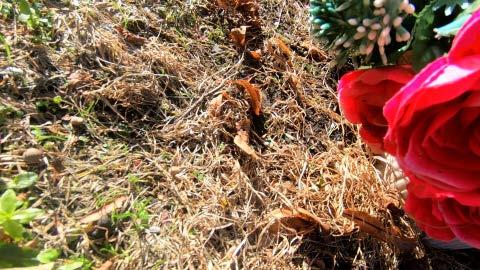
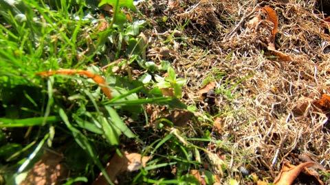
Initial trial of the device took place in Greyfairs Kirkyard Edinburgh, a simple colour sensor was coded to test out the accuracy of the reading. Along with a simulation video simulating the view from the top of the device capturing the ground, already a gradual shift in colour could be seen from stills extracted from video. As Bruno Latour points out, the device is a ‘inert body(ies)’, incapable of will and bias but capable of showing, signing, writing, and scribbling on laboratory instruments before trustworthy witnesses.


31
Test Video Stills Juxtaposed with A Render of the Device

32
Test Reading 1: Stone Wall
Initial Reading Initial Reading Calibrated Reading Calibrated Reading
Test Reading 2: From Flower to Grassland
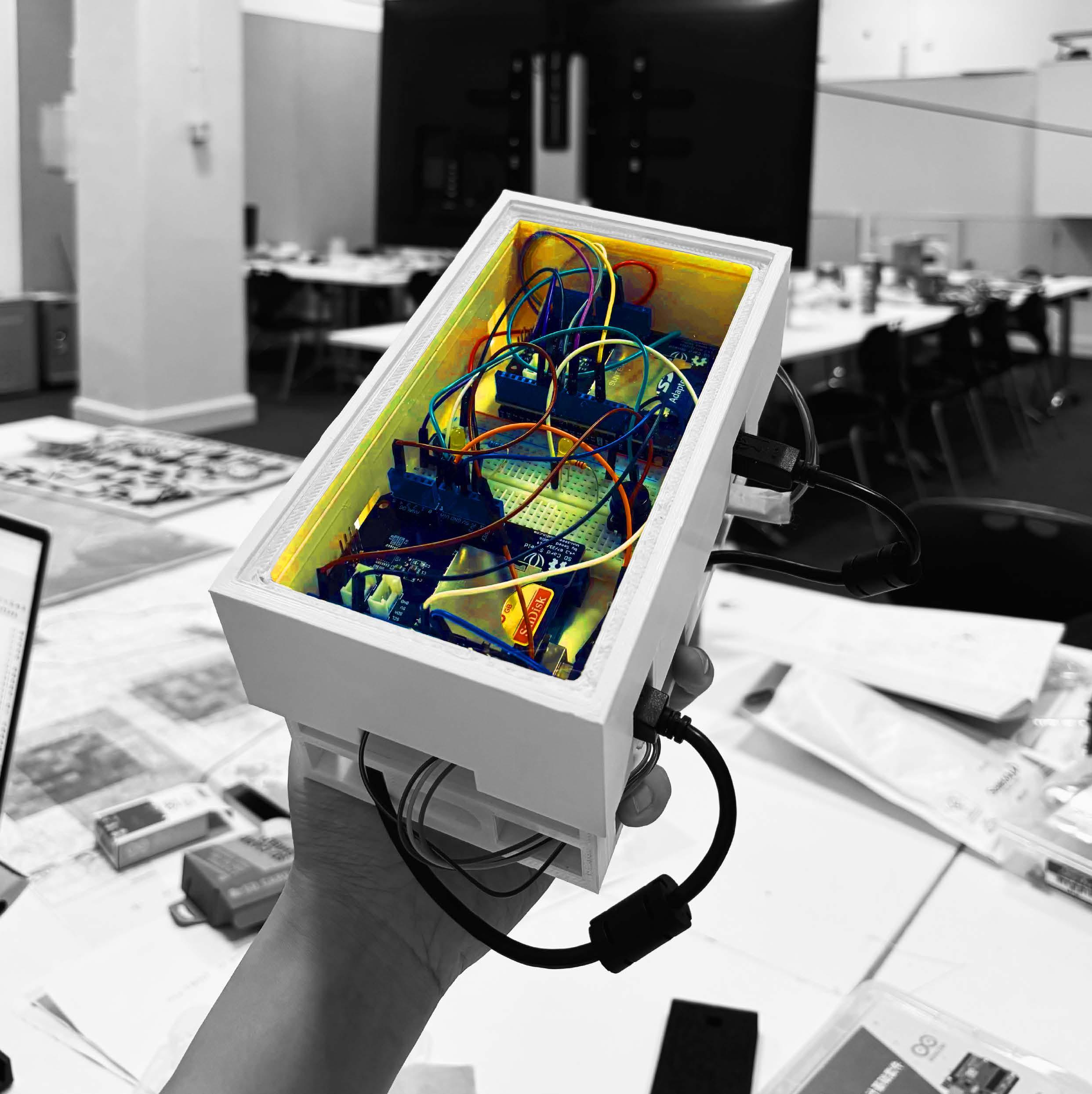
However, due to systematic errors in the sensor, the device failed to accurately reflect the material world. Two test readings were taken on the left side, where severe interference undernatural lighting caused a significant deviation in color readings. After readjusting the code and experimenting with different sensors, the device has regained its competence as an effective "inert body(ies)" once again.
Intergrated Colour and Distance Sensors
34
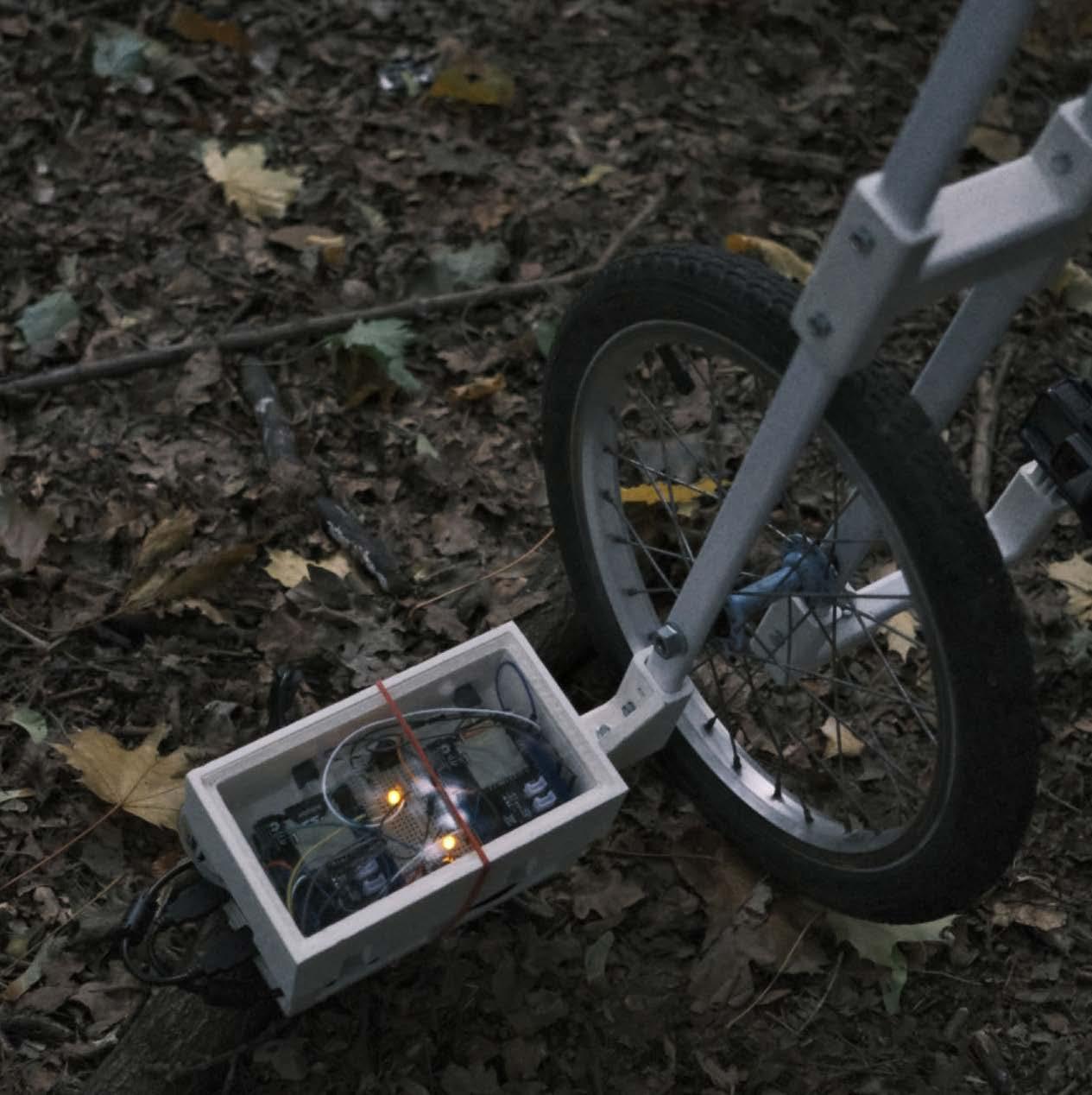
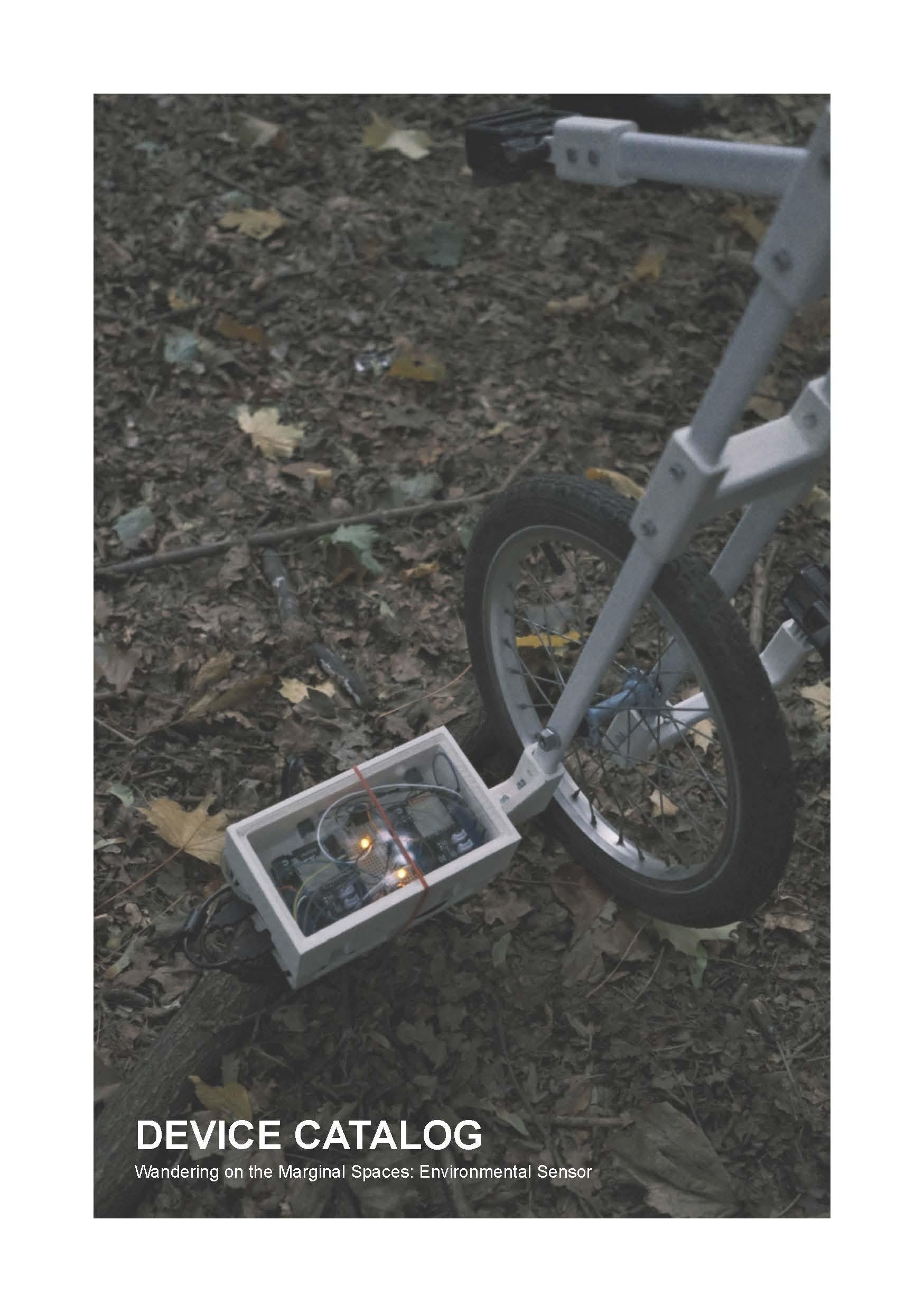
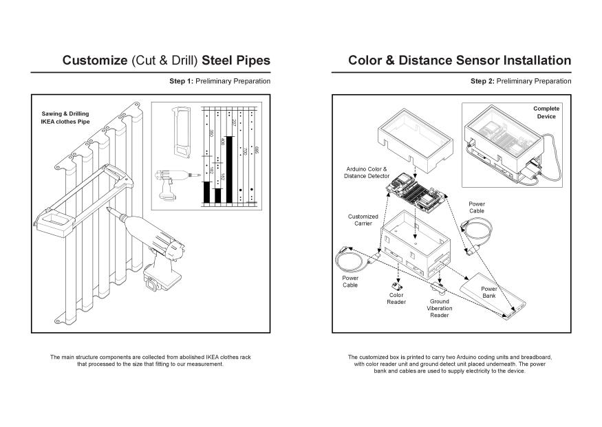
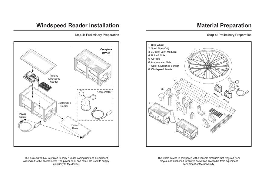
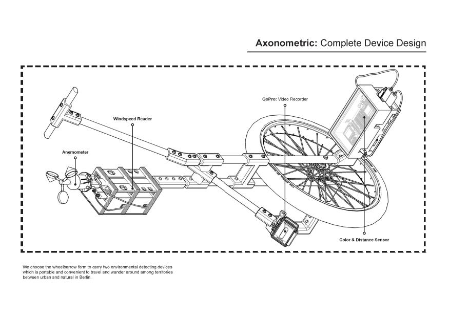
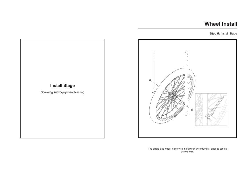
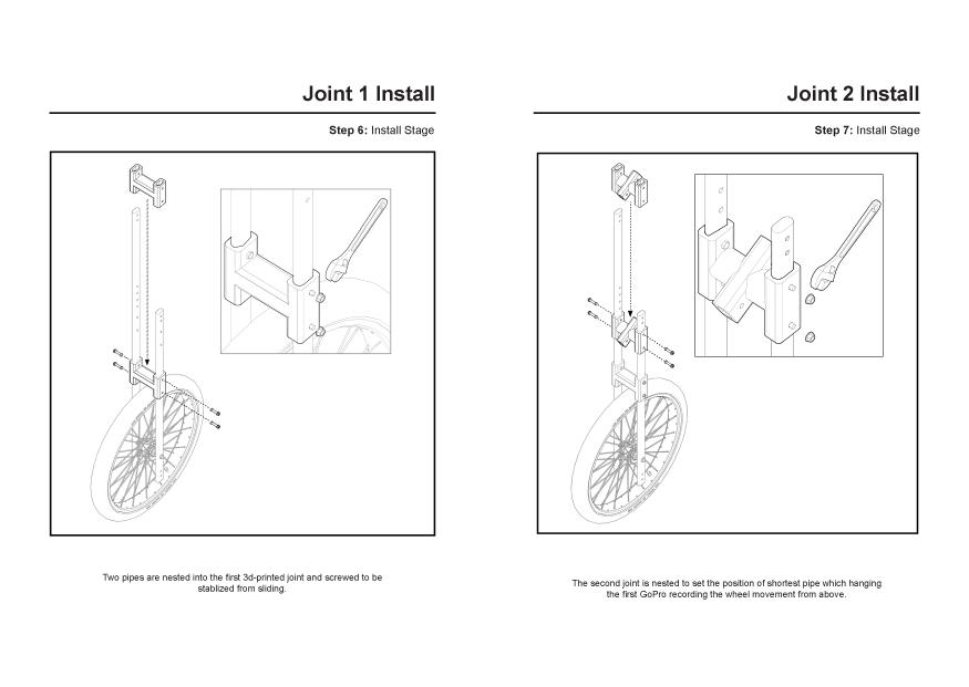
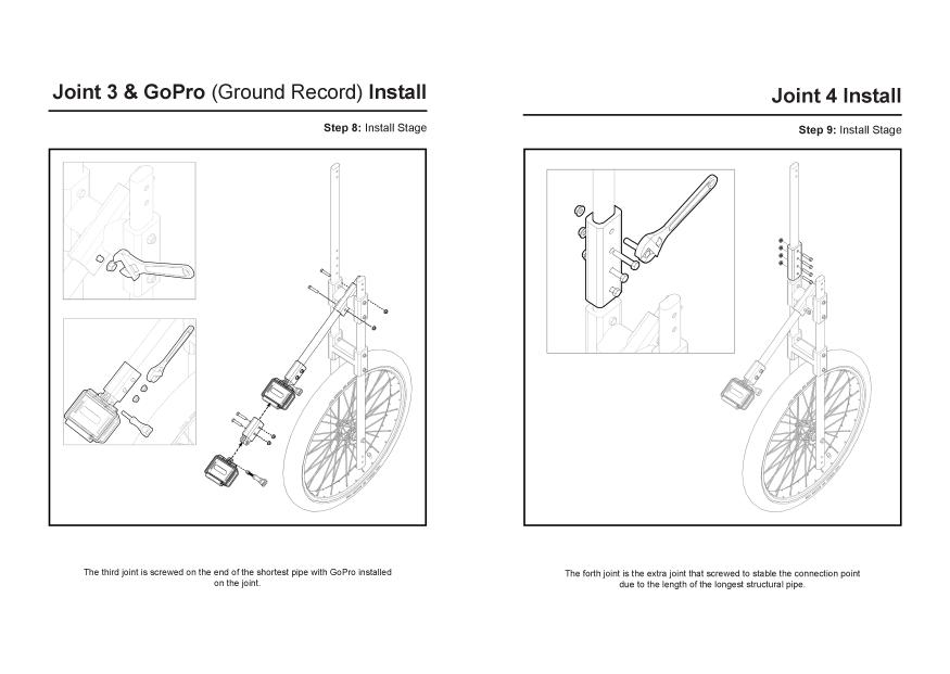
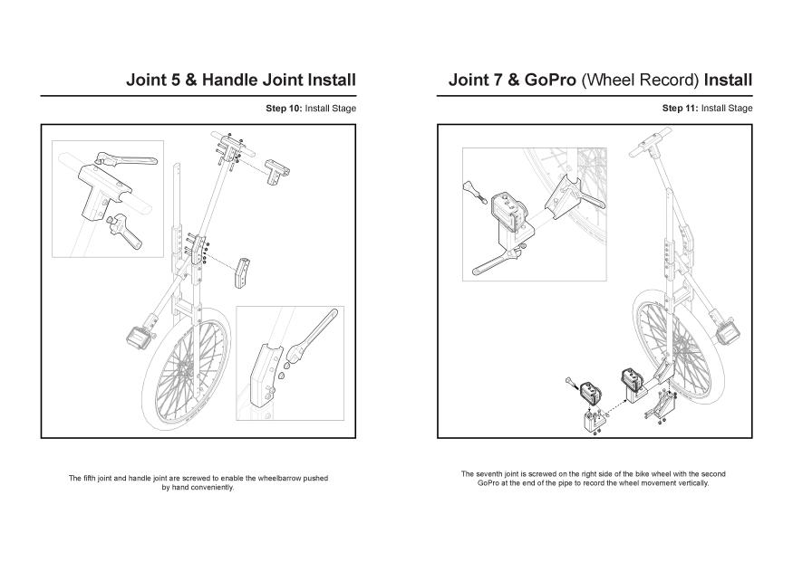
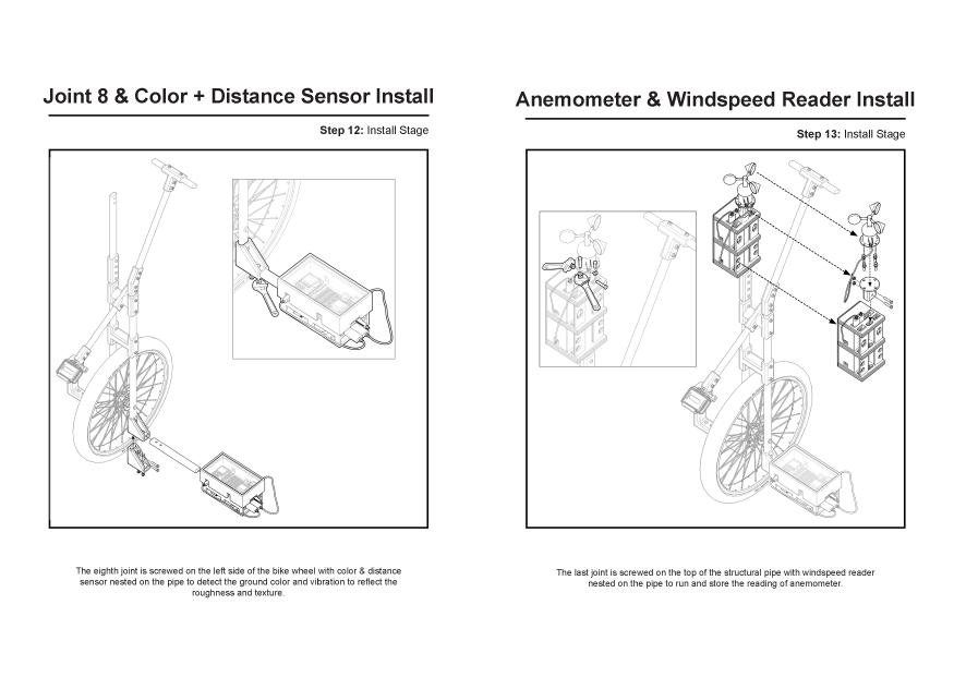
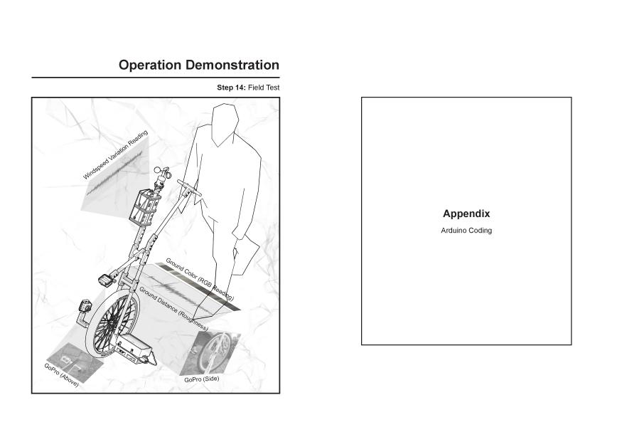
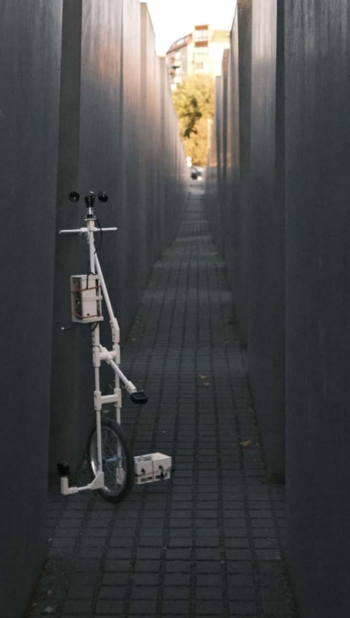
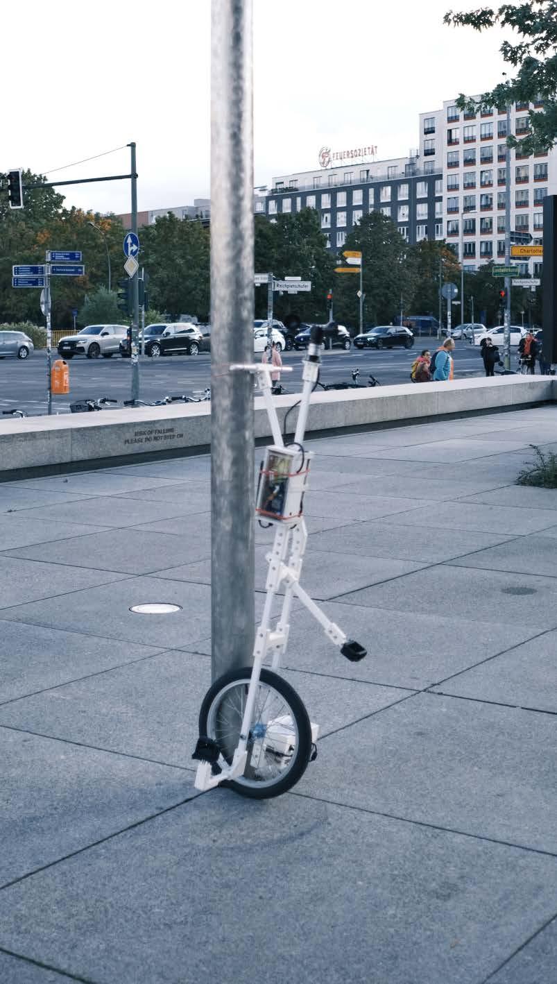
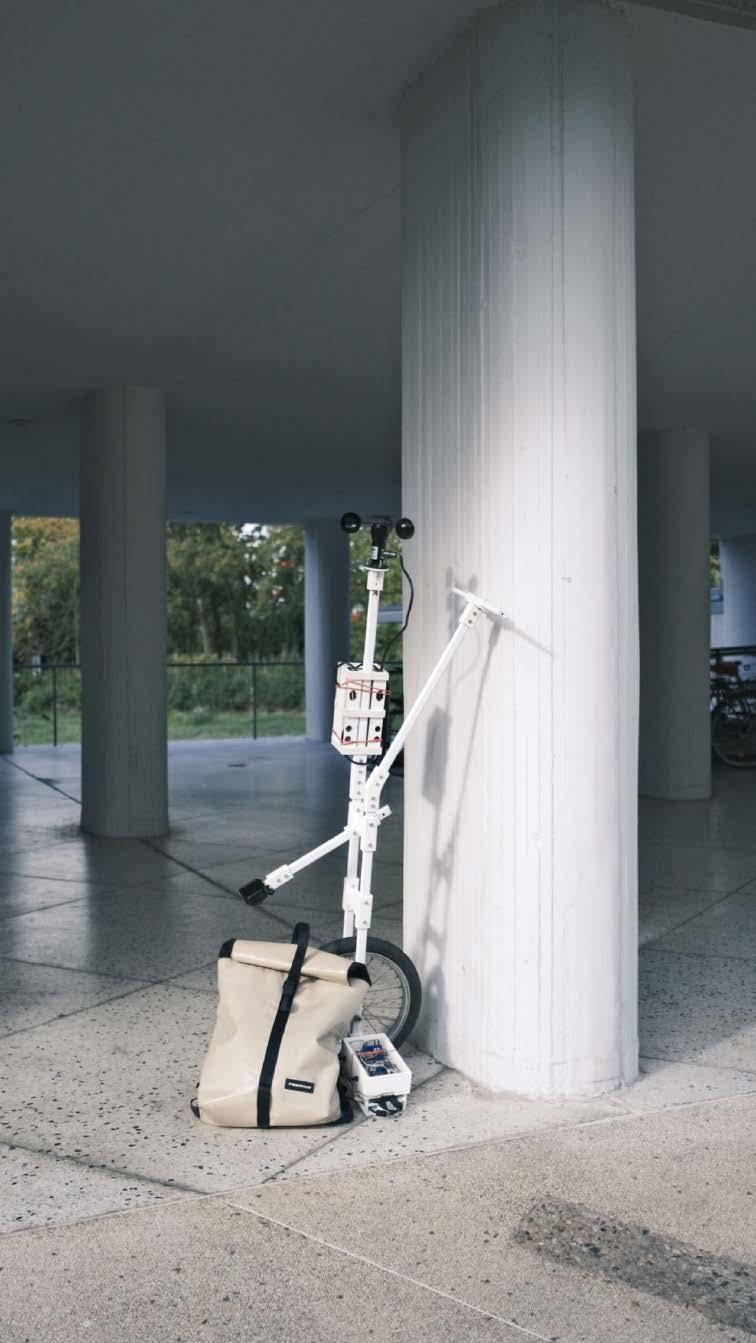
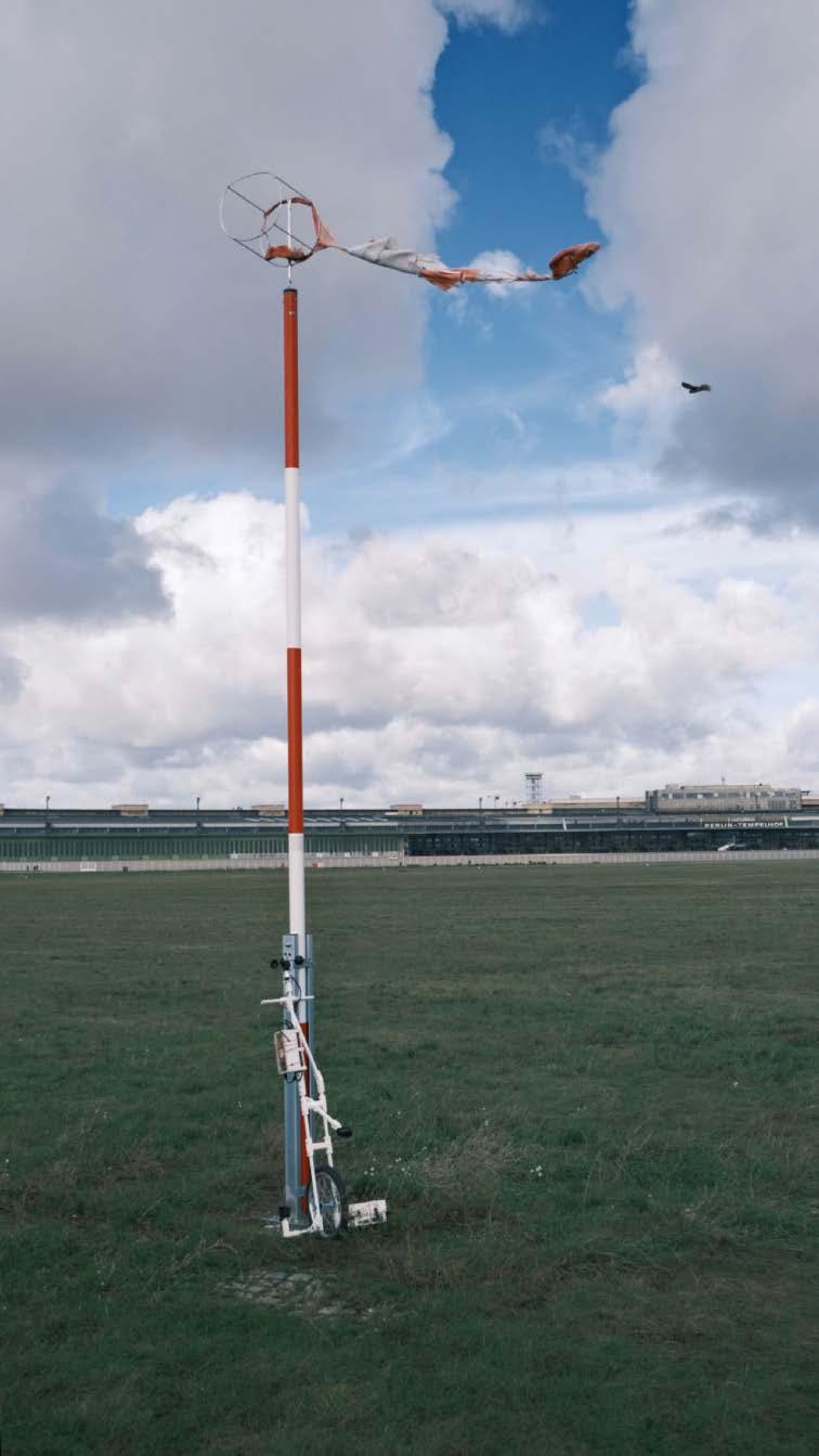
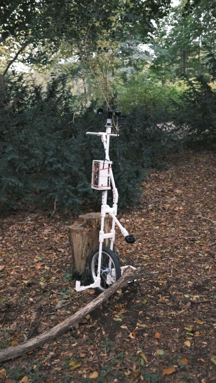
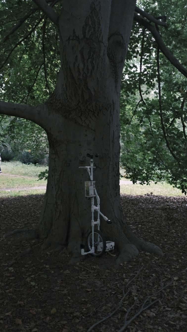
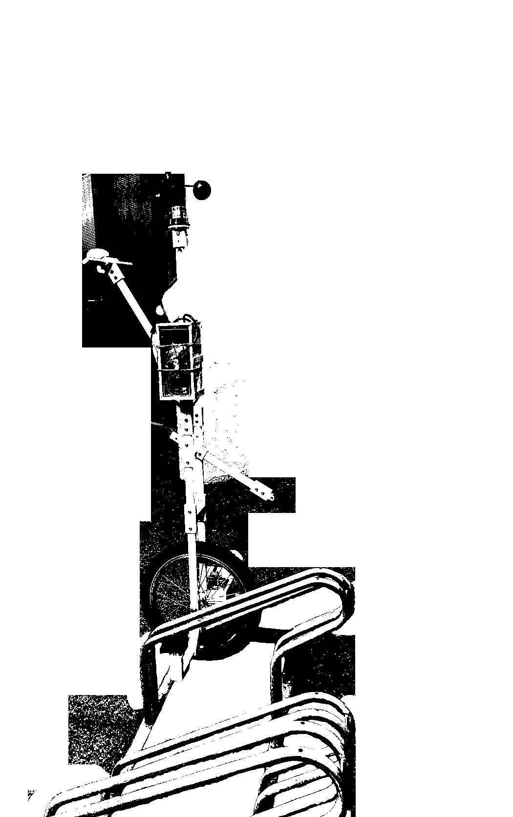
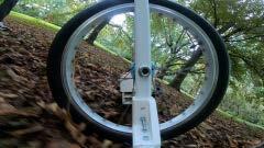
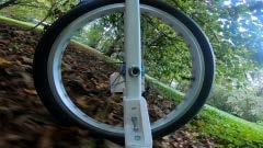
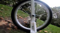
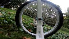
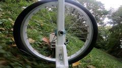
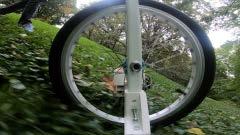
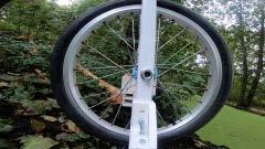
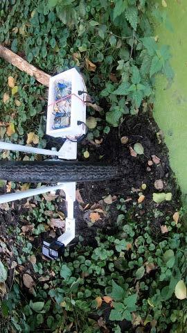
The device is constructed from a 24-inch bike wheel and a recycled IKEA coat rack. Key components include colour and distance sensors housed in a white box near ground level to collect the ground condition information every 0.5 seconds. The readings from the distance sensor could determine the roughness of the ground, fluctuating data implies a more rough, natural surfaces while constant data may suggest the ground is artificial. An anemometer mounted at the top with the Arduino. Two GoPro cameras capture real-time video and sound data from different angles simultaneity. A detailed device catalogue facilitates replication from material sourcing to coding ensure anyone with the instruction would be able to use it.
35
36
37
Selected Pages from Device Catalog, A Step-by-step User Guide Demonstrating the Assembly of the Device Complete Device Design
38
Device in Various Locations in Berlin, Urban and Natural Territories
39
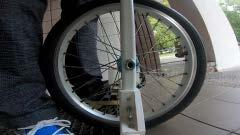
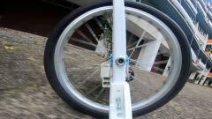
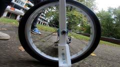
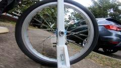
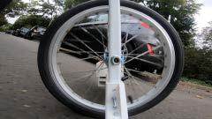
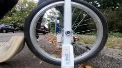
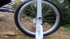
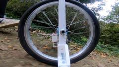
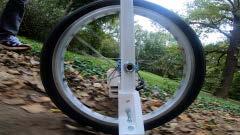
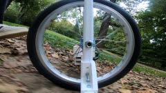
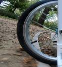
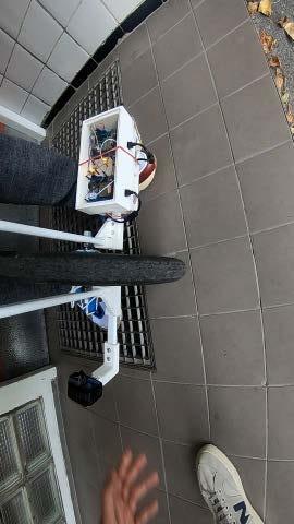
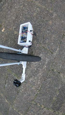
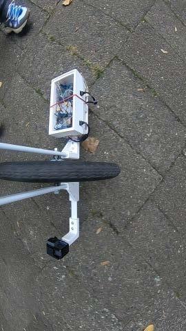
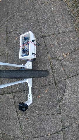
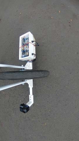
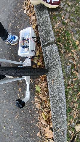
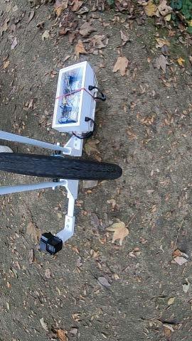
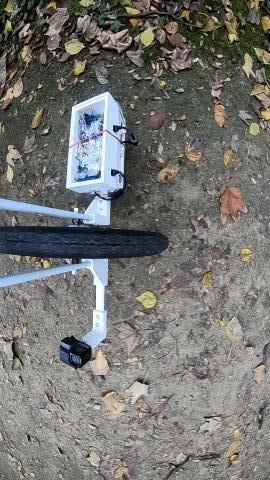
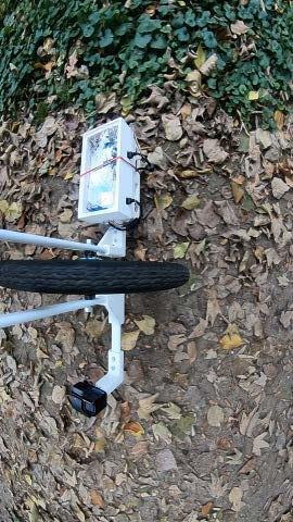
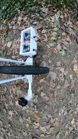

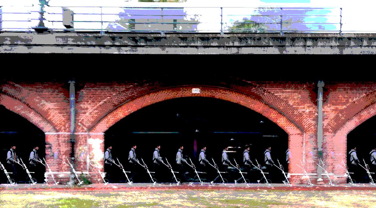
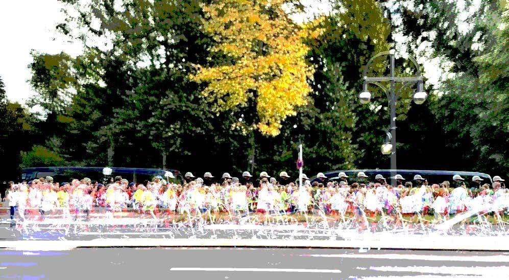
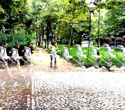
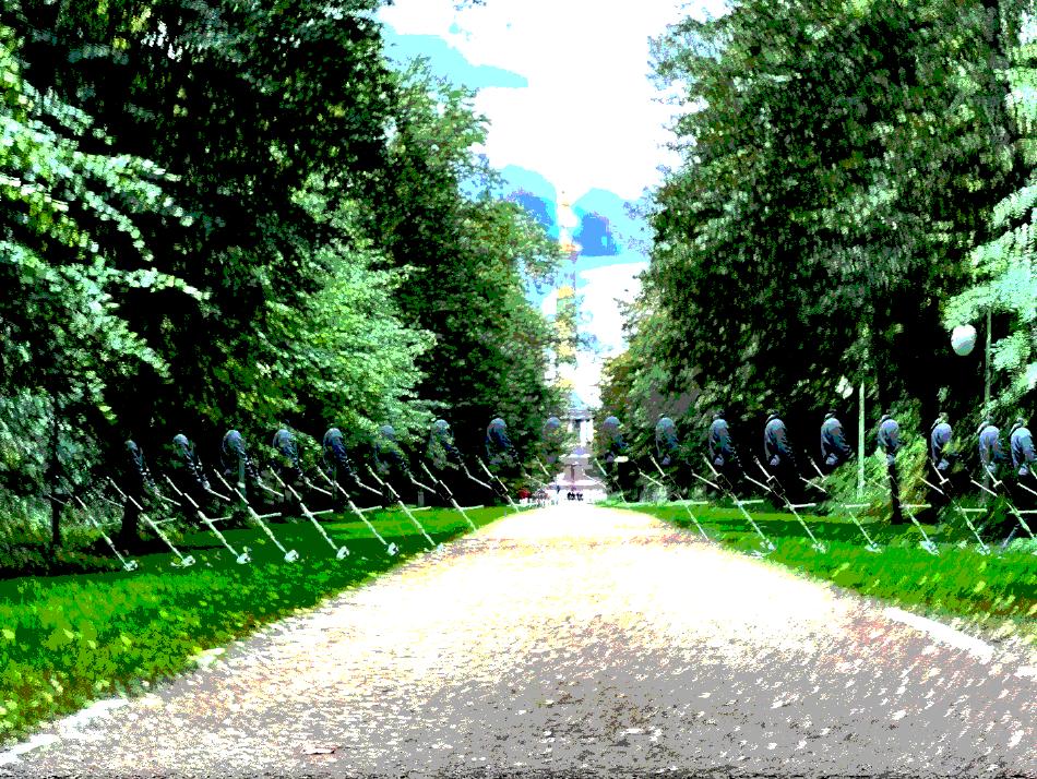
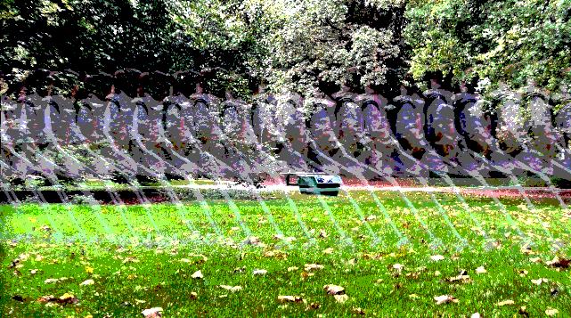
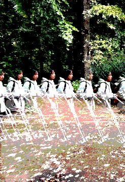 Video Stills Collection Showing Device Used in Tiergarten Area
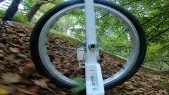
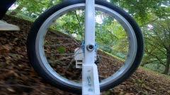
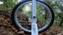

41
1 2 3 4
Walter-Gropius-Haus
Pierre-Vago-Haus
Evangelische Kaiser-Friedrich Gedächtnis Kirche 1. 2. 3.
Eternithaus 4. 5.
Händelallee 26
Close Encounters in Tiergarten
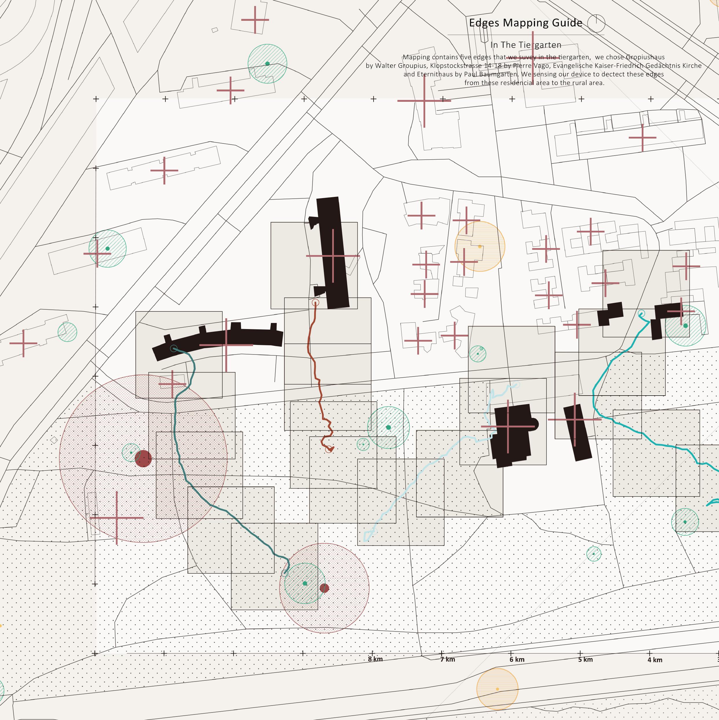
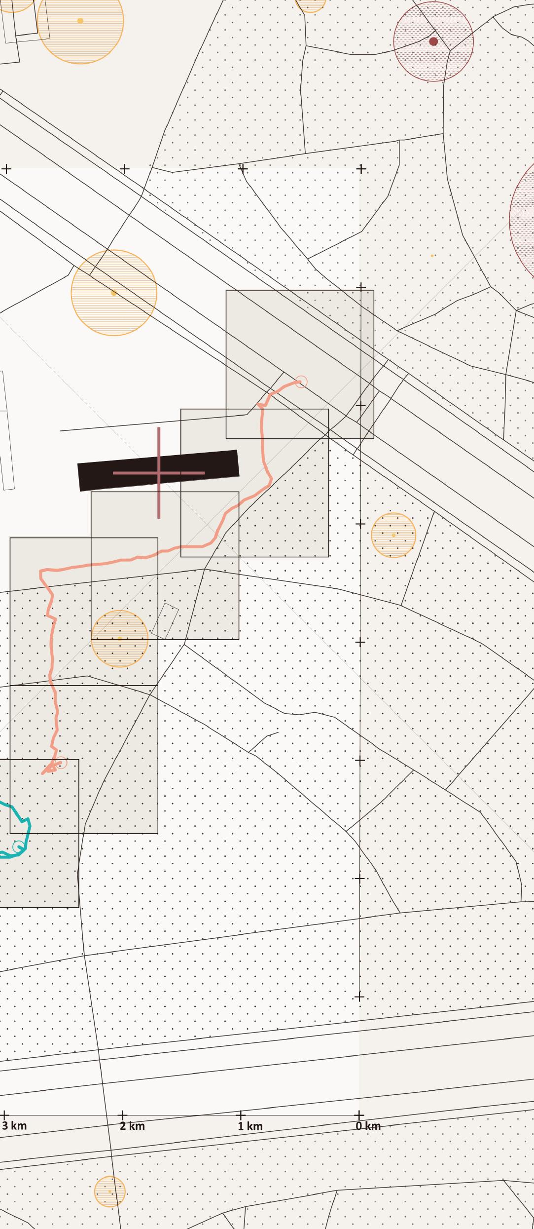
Our investigation focuses on the western section of Tiergarten, where architects from around the world were invited to address a post-WWII housing shortage. This initiative, officially known as the Internationale Bauaustellung 1957 (Interbau 57), showcased innovative residential designs alongside schools, churches, shops, a theatre, and an art gallery. Interbau 57 exemplified future living with its compact, well-designed private spaces surrounded by ample public greenery.
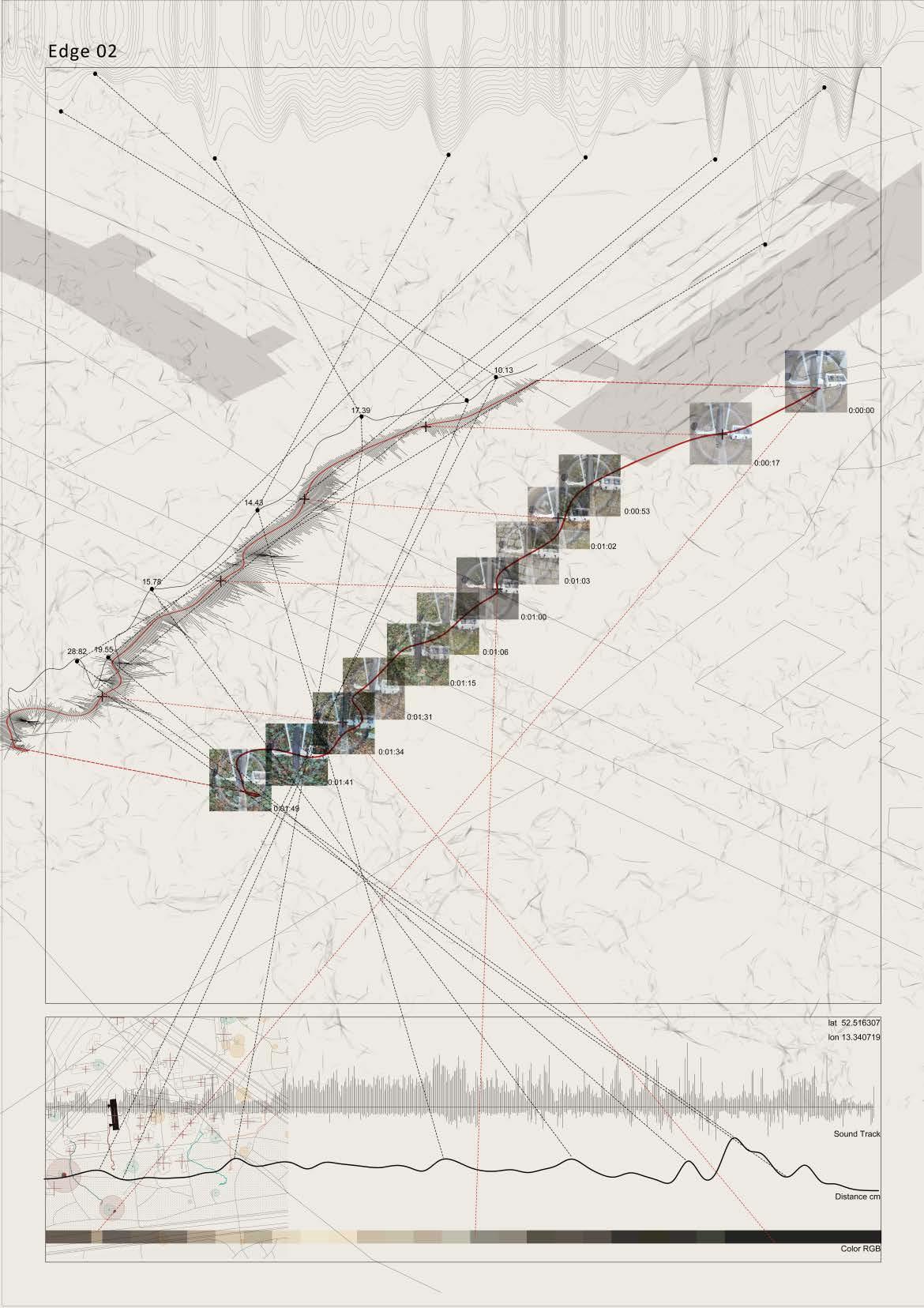
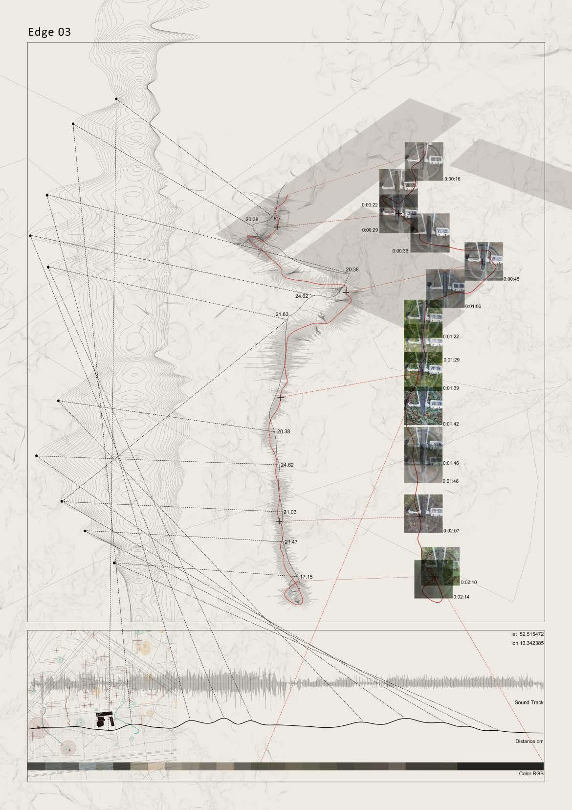
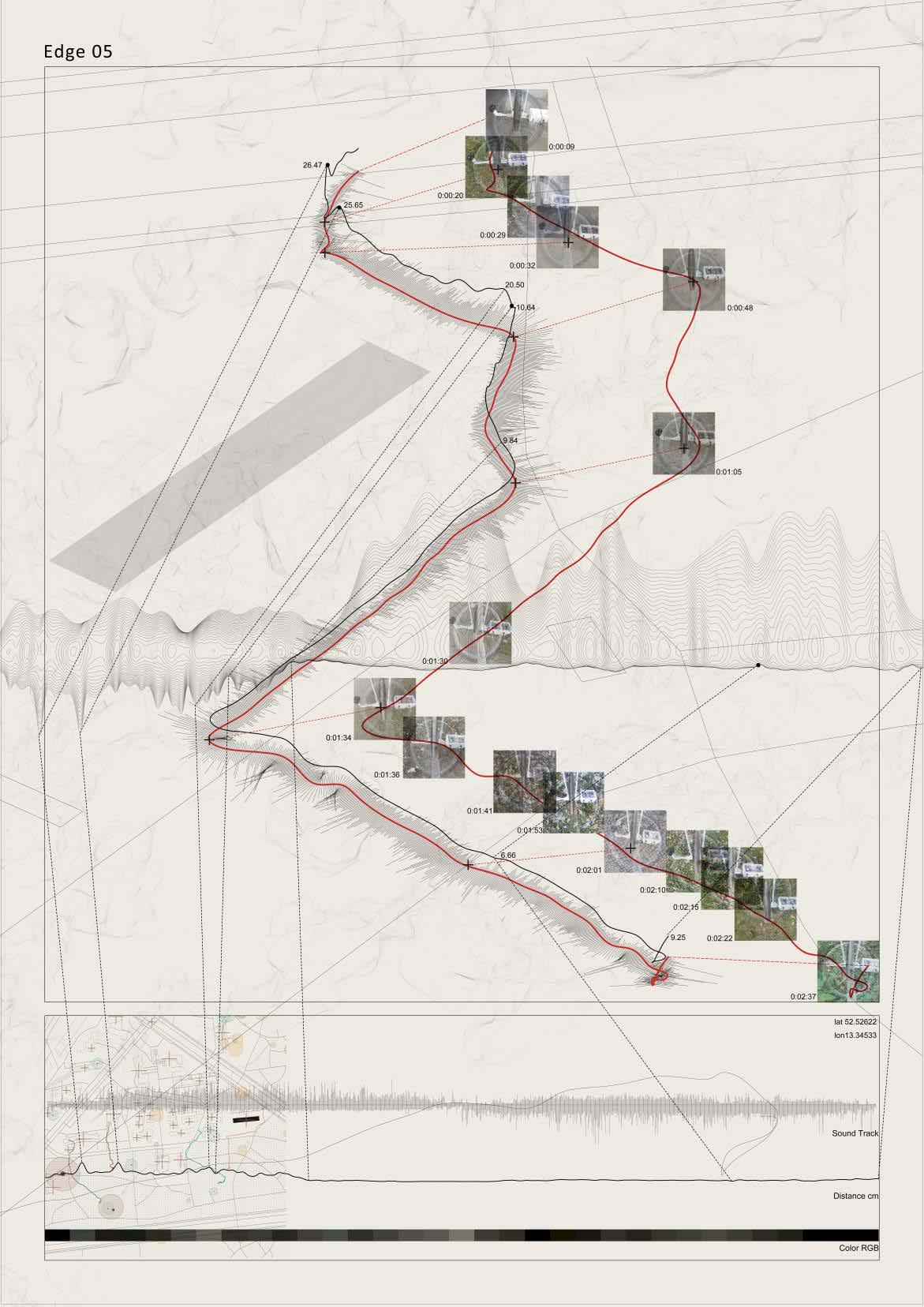
We were particularly intrigued by the dramatic transition from urban to natural spaces. To explore this transition in detail, we conducted five readings using the device, each tracing a shortest path from a modern architectural doorstep to nearby natural environments. These 'edge' (a single line of data collection movement) readings provide insights into the relationship between urban and natural spaces, offering a deeper understanding of their interplay.
"Artifacts built in the 1950s are a materialization of the ephemeral and quasi-utopian Kollektivplan."
43
Sandra Bartoli & Jörg Stollmann, Tiergarten, landscape of transgression: (this obscure object of desire)
5
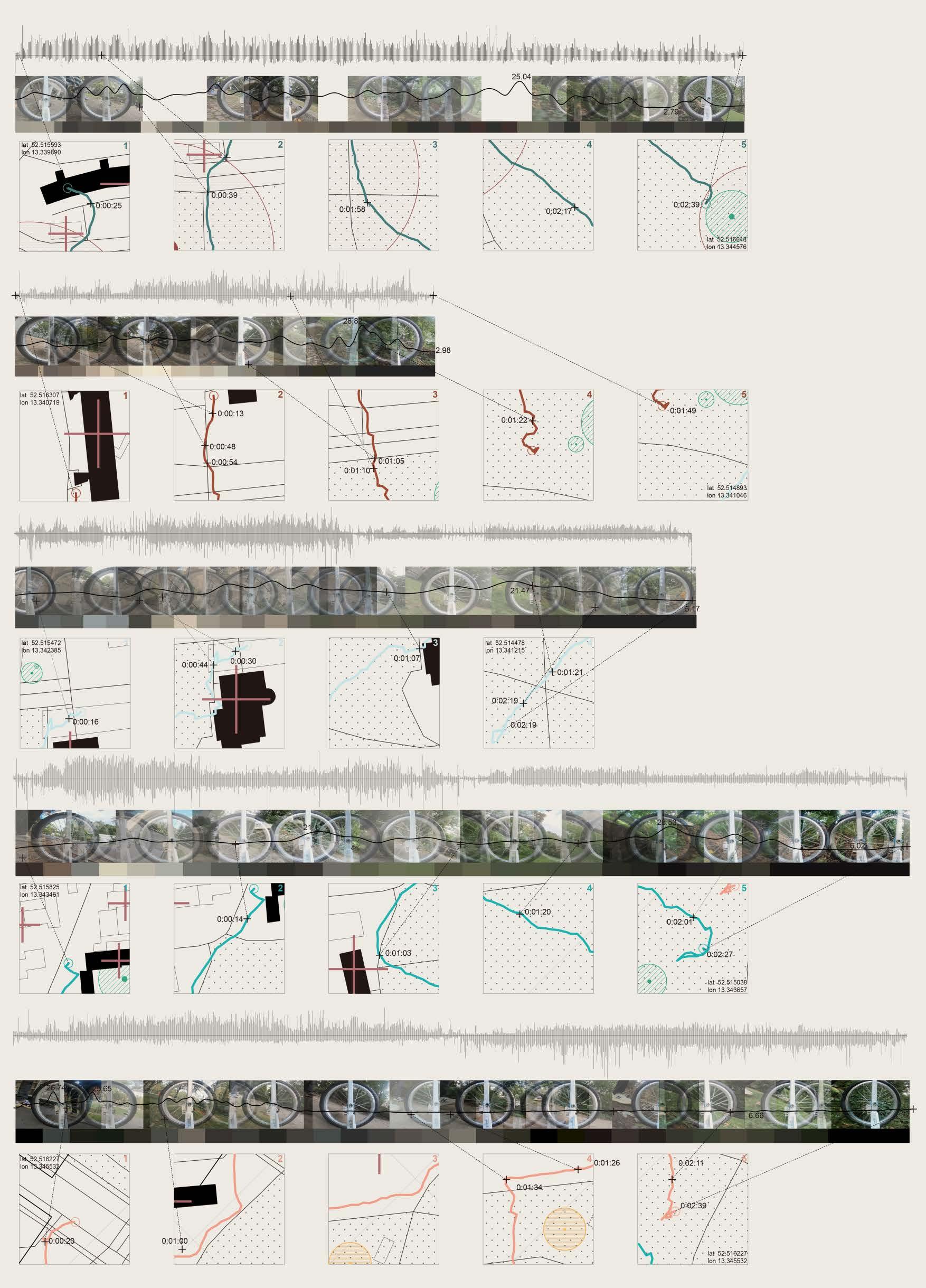
5 Edges Assembly
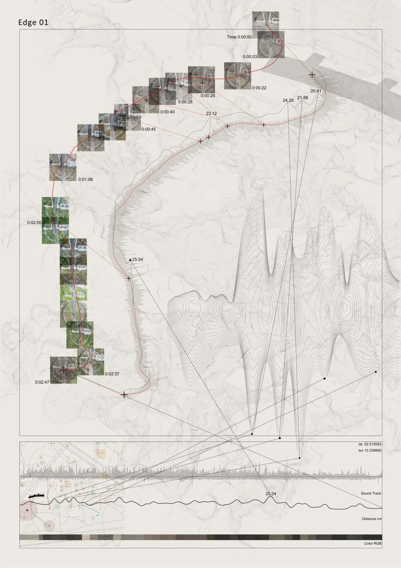
Axonometric View of the Path with Video Stills by GoPro
Sound Wave
Distance (cm)
RGB Colour
45 Edge 01
46 Edge 02 Edge 03

47 Edge 04 Edge 05

Our research and investigation process involves the construction of a hybrid network, encompassing human researchers, Berlin's cultural and natural landscapes, and non-human devices. Initially, our layered mapping of Berlin unveils the intricate interplay between historical buildings, water systems, and wildlife sightings. These seemingly disparate data points form a complex web of information, hinting at potential interactions between humans and nature in an urban setting.
A discernible pattern emerges, revealing Tiergarten not only as a biodiverse natural environment but also as a significant component of Berlin's cultural landscape. Historical accounts, as well as references from literature, underscore Tiergarten's historical significance as a leisure space. the developed water extraction infrastructure within the area is due to the presence of the river Spree and Landwehrkanal. Tiergarten emerges as a space where human and nonhuman entities coexist, blurring the lines between urban and natural domains.
Close examination of the data collected by our device highlights the absence of a distinct boundary between urban and natural spaces. Instead, a spectrum of transition is evident, underscored by the frequent interactions facilitated by the legacy of Interbau 57. The majority of wildlife sightings occur within Tiergarten, further emphasizing its significance as a shared space.
To amplify this transition, we propose the deployment of field stations designed to encourage interactions between humans and non-humans. These stations are divided into three functional aspects—monitoring animal activities, recording soil permeability, and tracking human activities—intertwined to create a supportive environment for both human and non-human species.
49
Postscript
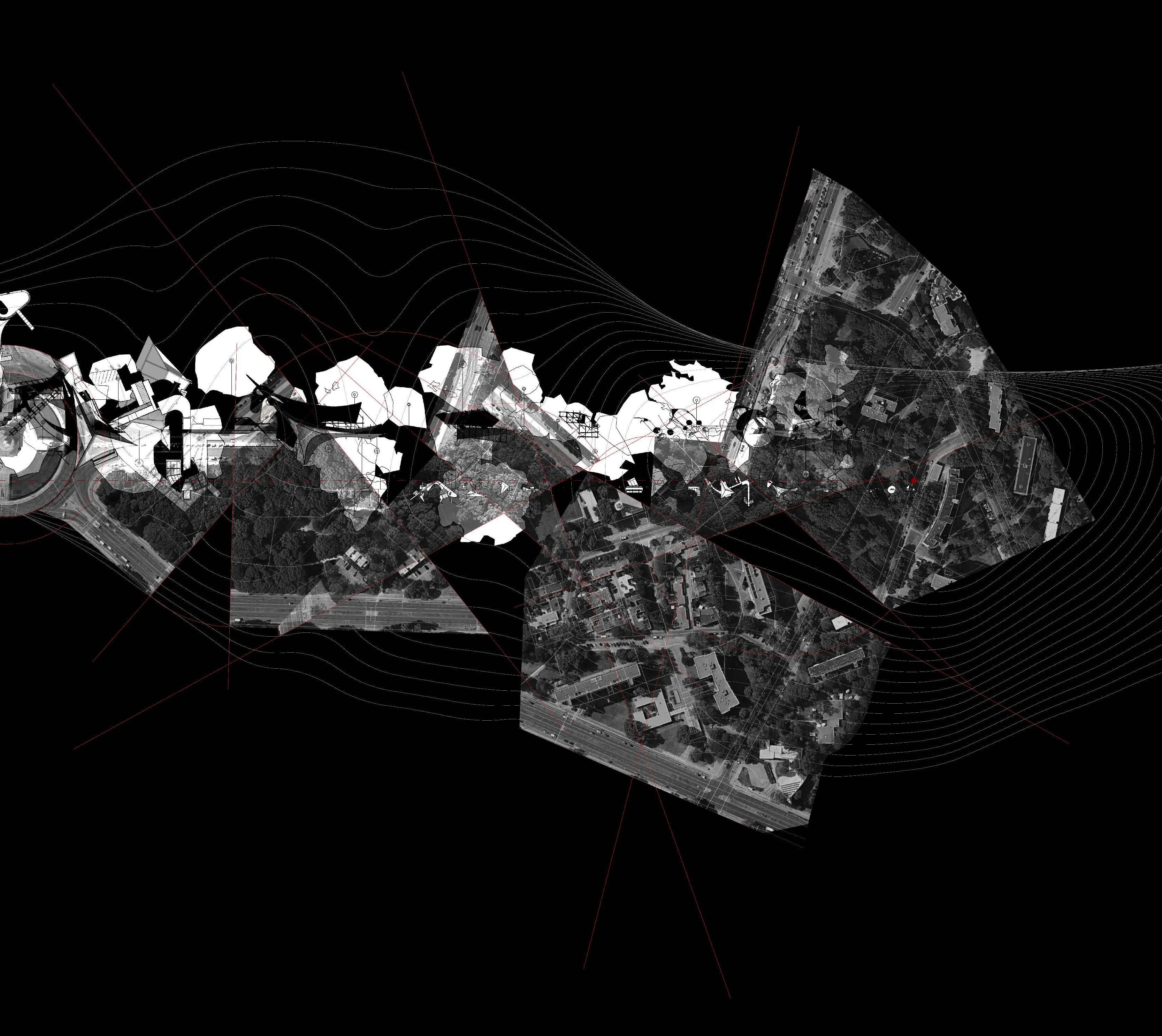
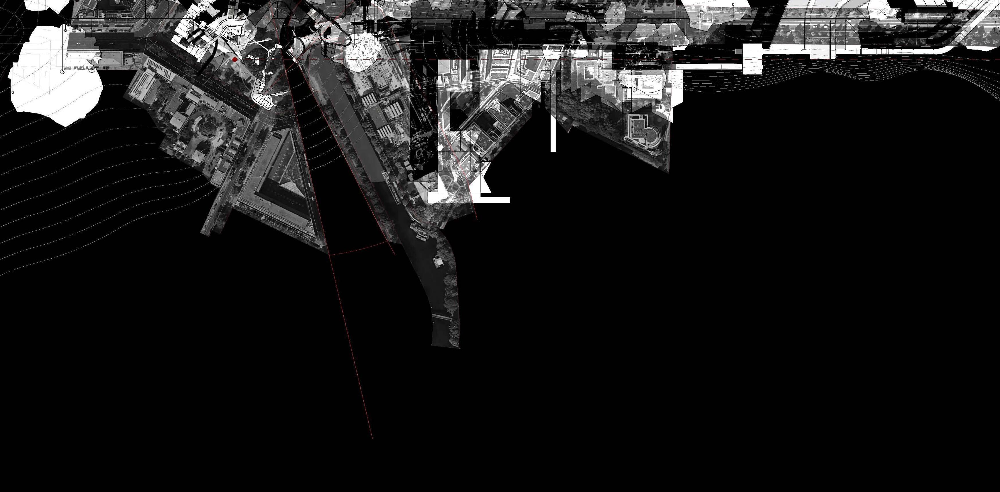
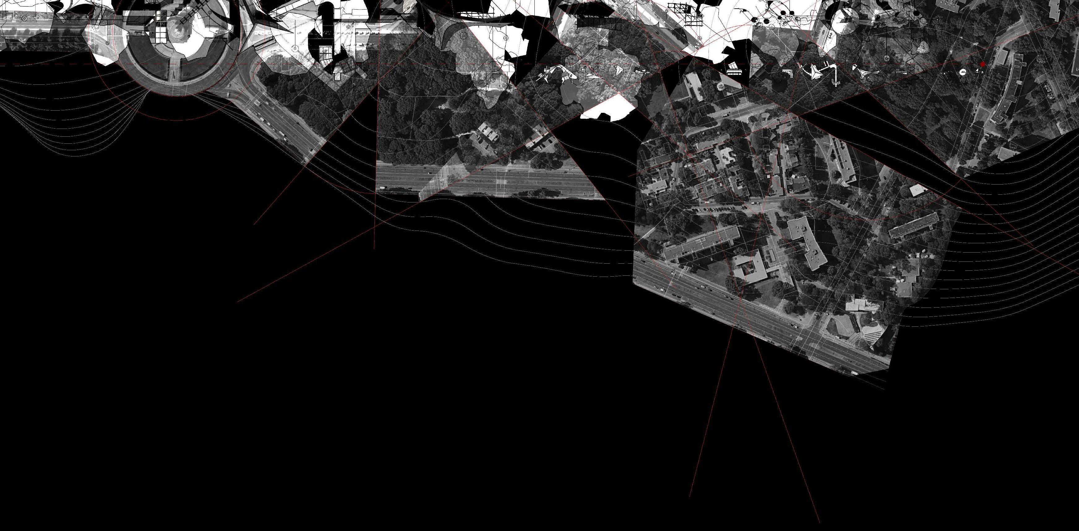
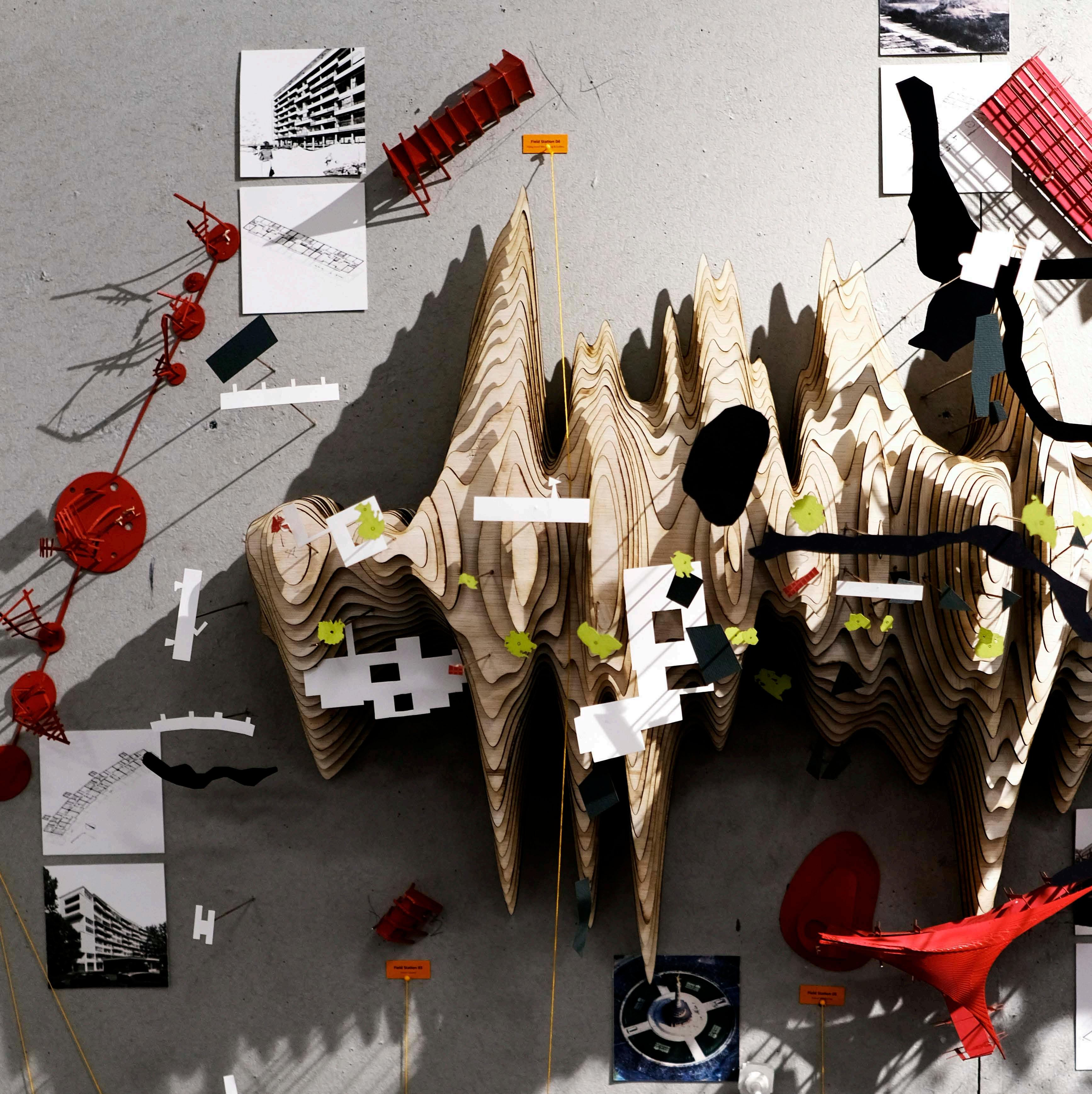 A Digital Landscape Overlayed with Green Space, Vegetation, Historical Building and Field Stations


 Color and Ultrasonic Distance Sensor in Action


 Video Stills Collection Showing Device Used in Tiergarten Area


 A Digital Landscape Overlayed with Green Space, Vegetation, Historical Building and Field Stations