City of Miramichi Anderson’s Mill Trail Trail Development Concept
February 2024


City of Miramichi Anderson’s Mill Trail Trail Development Concept
February 2024


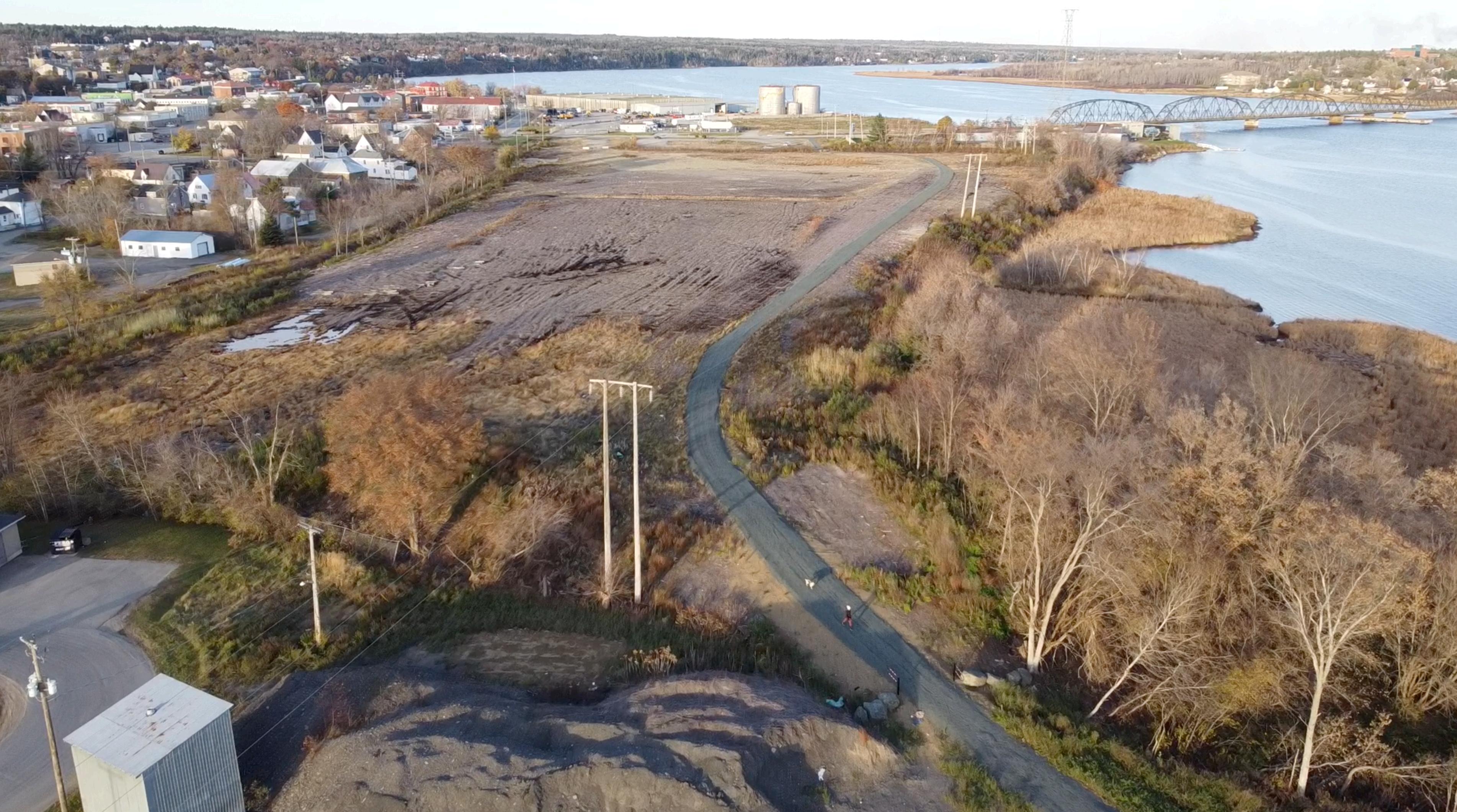
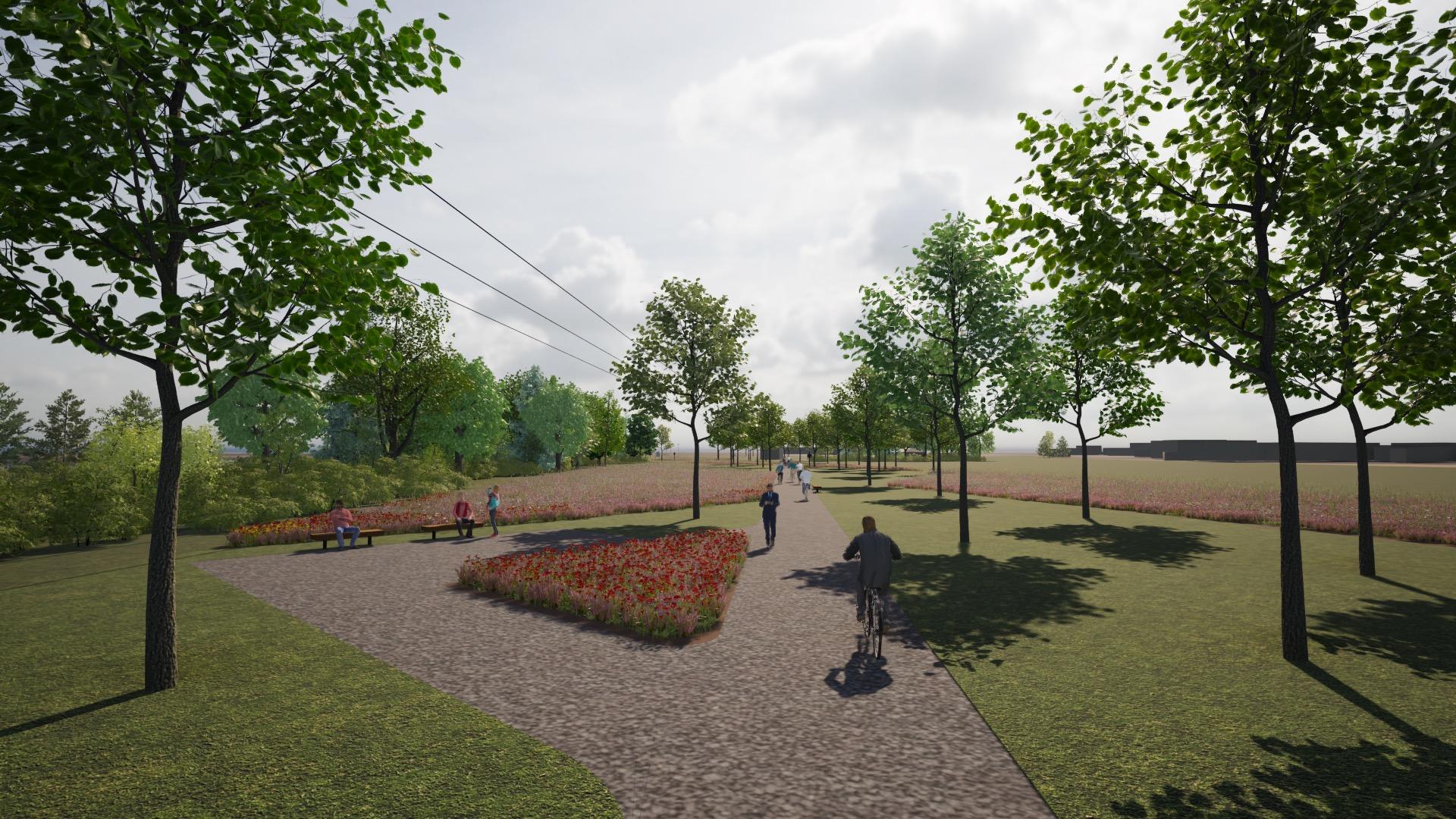
The City of Miramichi built a granular trail extending between Newcastle’s Bridge Road and the existing trail that borders Route 430 Ramp to the Beaverbrook Boulevard. The City would like to explore landscape improvements that create an naturalized edge between the trail and the former Anderson’s Mill Property, provides a sense of history through interpretation and views of the Miramichi River and former mill site, provides seating and shade, and allows users to explore the historic and natural surroundings with minimal intervention. Additionally, simple planting strategies should create places for bird and butter flies; thus, naturalization diversifies habitat and visitor enjoyment, for all!

This document provides a concept to achieve these objectives, as well as a phased budget.

Existing Trail
Route 430 Ramp Mitchell Street
Existing Anderson’s Mill Trail extending from the Route 430 Ramp to Bridge Road
Existing Power Line
Existing Anderson’s Mill Trail extending from the Bridge Road to the Route 430 Ramp
Former Anderson’s Mill Property Bridge Road
General lands surrounding trail that can receive landscape improvements
Existing Power Line
General lands surrounding trail that can receive landscape improvements
Existing Power Line
Existing Anderson’s Mill Trail extending from the Route 430 Ramp to Bridge Road - new seating and directional signage on trail
Route 430 Ramp
Gateway with sign panel and entrance lighting to first trail corner
Wildflower seeding form edge that moves focus from entrance to River Look-Off
Tree planting grid designed to create shade and sense of landscape without calling attention to the linear nature of the trail

Wildflower seeding forms edge between the trail lands and the former Anderson’s Mill Lands
Anderson’s Mill
Interpretation and Rest Stop
Mitchell Street
Bridge Road
Wildflower seeding forms edge that moves focus from entrance to Anderson’s Mill Interpretation and Rest Stop

Tree planting grid designed to create shade and sense of landscape without calling attention to the linear nature of the trail
Wildflower seeding forms edge between the trail lands and the former Anderson’s Mill Lands
Gateway with sign panel and entrance lighting to first trail corner
and Rest Stop

Gateway with sign panel and entrance lighting to first trail corner

Interpretation and Rest Stop


Wildflower seeding forms edge between the trail lands and the former Anderson’s Mill Lands
