1 minute read
PATHWAYS


20. PATHWAYS

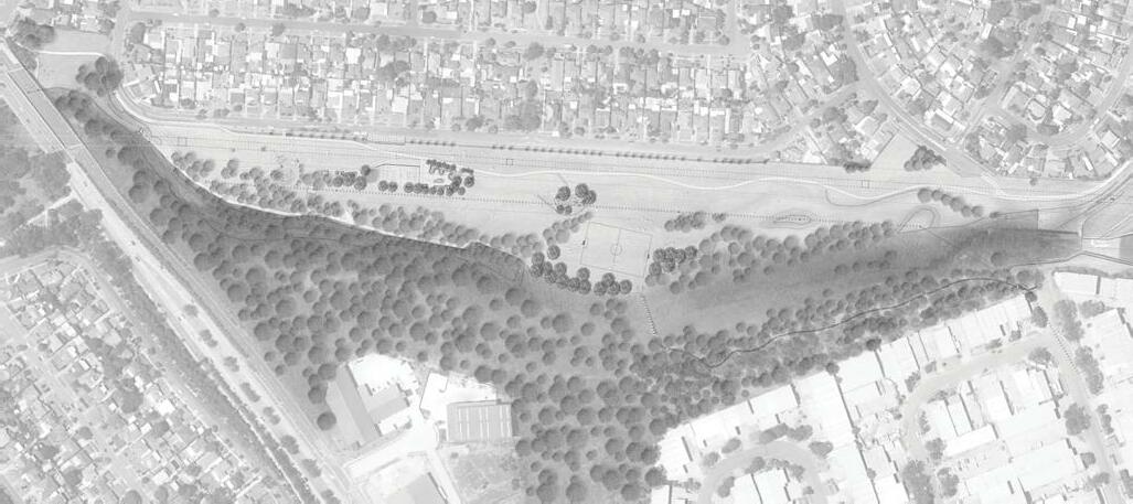
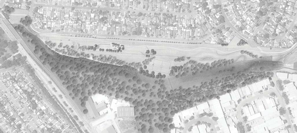
The existing spillway at the junction of the concrete stormwater channel and Toongabbie Creek is often used by local residents to access the McCoy Park basin dog offleash area. Given the risk for flash flooding and high velocity flows (often with little warning) this is a high risk activity which should not be encouraged. At this stage, a bridge crossing is considered unfeasible but public access to this area should be discouraged to minimise risk.
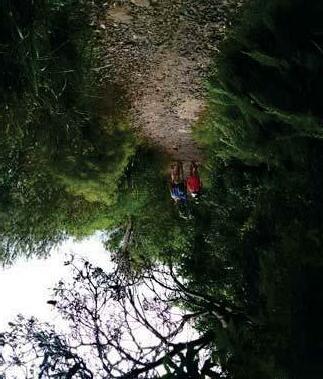
A new bush trail is proposed to the northern side of Toongabbie Creek, linked to the existing bush trail across a series of largeformat stepping stones to allow pedestrian access across Toongabbie Creek during low flows. This path is proposed to connect to Tucks Rd over the existing stormwater outlet to allow safe access to higher ground during flood events (preventing people getting stuck on the northern side of Toongabbie Creek).
The existing bush track behind the playground and informal track along the edge of the riparian corridor are both to be retained as existing. Although the paths are used frequently, the pedestrian volumes are not high and there is minimal damage to the turf in this area. The potential impact of a new hard surface path to change water flows during flood events is high and risks causing additional erosion and damage.
New concrete paths are proposed to link the existing playground, new amenities building, new youth precinct facilities and existing shared path. These paths are all proposed outside the 1:100 year flood level to minimise potential for erosion and damage to works. Existing spillway used often to cross to McCoy Park basin dog off-leash area Connecting turf path to McCoy Park


Possible path link to Tucks Road New informal bush trail north of creek Example of stepping stone crossing