1 minute read
DRAINAGE AND SLOPES


Topography, the Movement of Water, and the Movement of People
In many ways the character of Shepard Farm is defined by its Hilltown topography. The slopes and valleys of the site (and the ways in which they channel water) support wildlife, protect and convey water as a natural resource, and provide beauty. The topography also provides design challenges in regards to access; the slopes make movement of people and vehicles difficult.
Assets and Constraints of the Site Topography

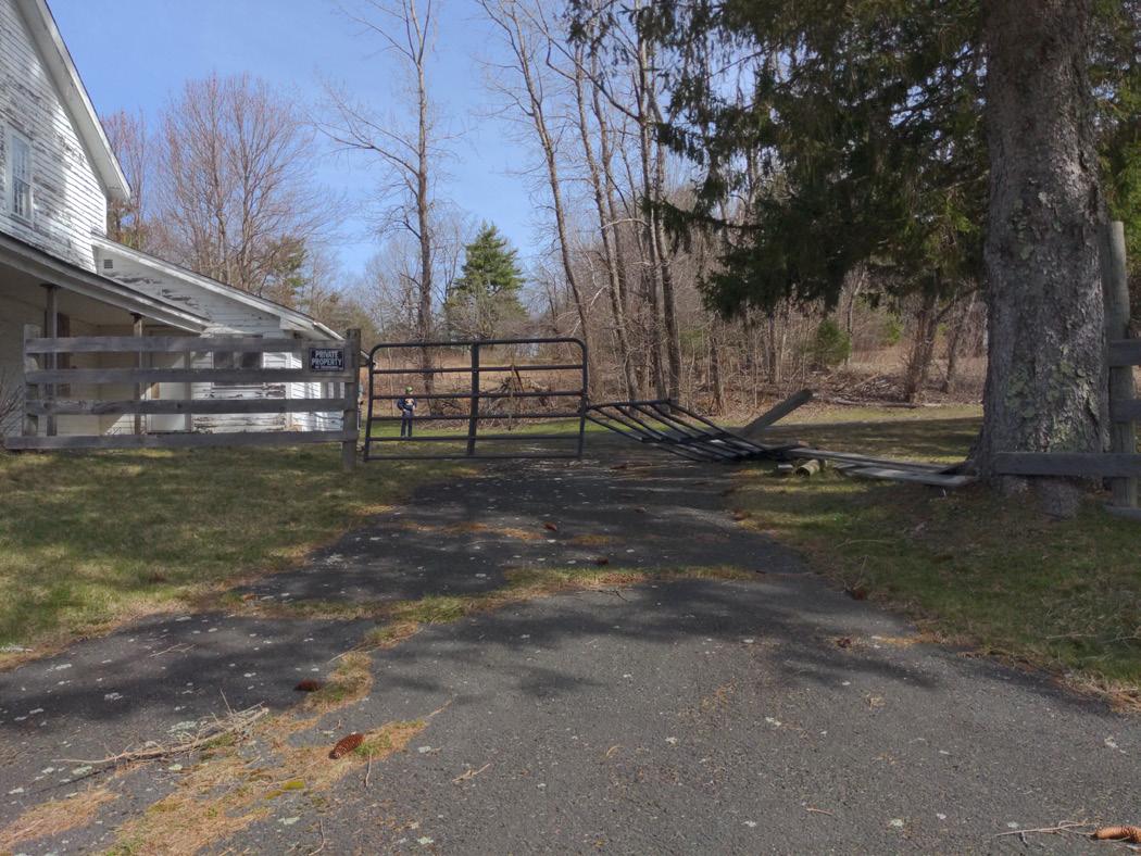
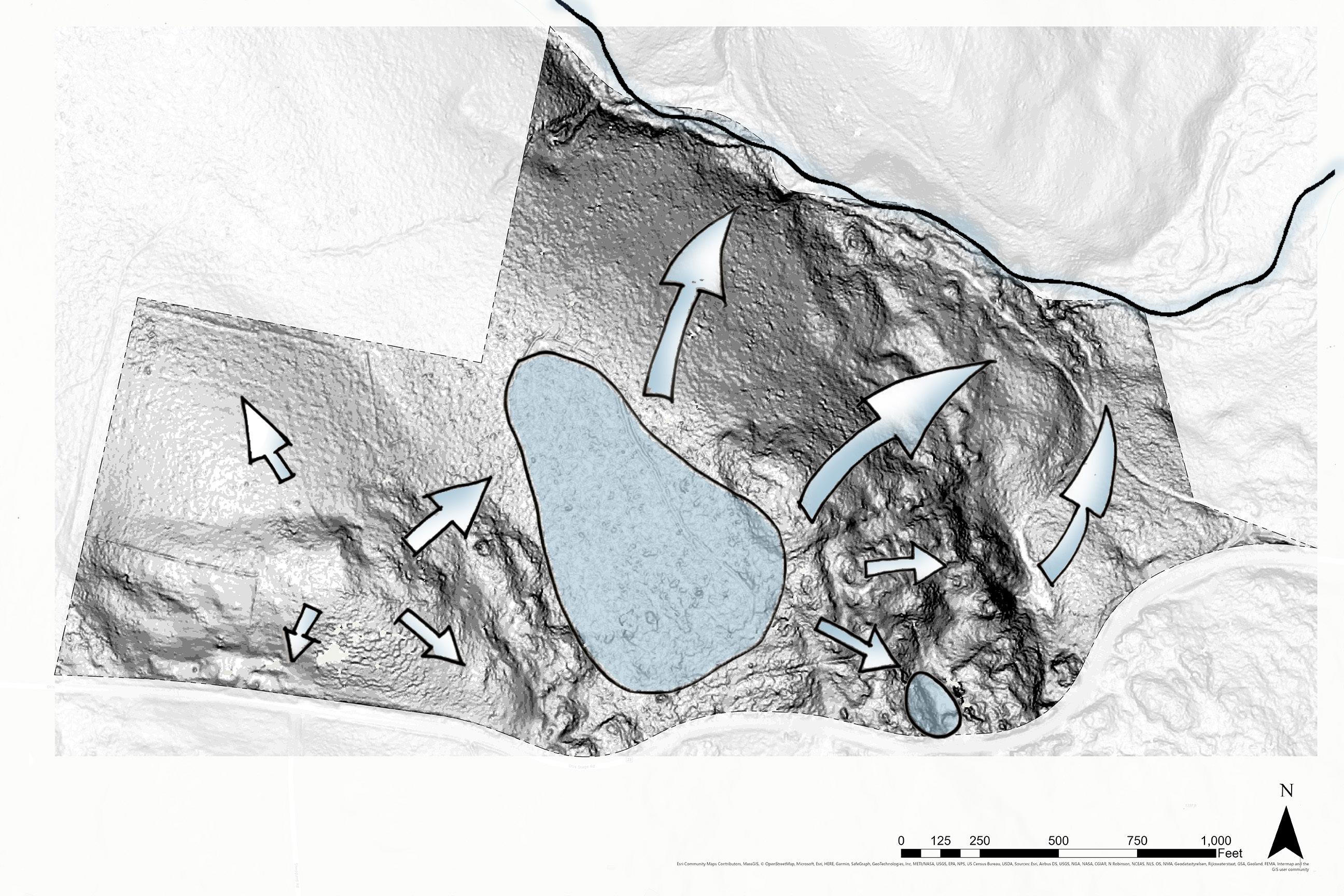
The southeastern meadow (A) owes much of its beauty to its steep topography. A south-facing slope, the meadow experiences consistent sunlight throughout the day and year and provides prospect from the high point. However, the steep topography of the hill abutting the road makes for difficult access (B); the driveway has a grade that sometimes exceeds 20%.
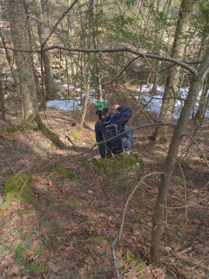
Another particularly steep section is the large hill (D) separating the wetland plateau (C) from the stream valley (E). This landform helps to create distinct identities for the eastern and western portions of the property, as well as create a sense of refuge and definition for the trail along the river. The large hill also constrains access between these two halves of the property.
The Flow of Water Through the Site
Water moves down the hilly landforms to create habitats and features that provide both aesthetic and ecological benefit. Water sheds in all directions away from the high point (A). East of the high point, the water moves downhill and is slowed by the flat, forested wetland (C); this wetland filters water, which is important because the stormwater on site eventually flows to the Cobble Mountain Reservoir. Continuing downhill, the water moves south towards the street, southeast into the pond (F), or downslope into Watson Brook (E).
Implications for the Movement of People
In regards to trail development, both excessively steep and flat areas can be challenging. Shepard Farm has its fair share of both these slope characters. Particularly steep areas are not only difficult for those with mobility needs, but also require special attention to mitigate erosion of the trail system in the long term.
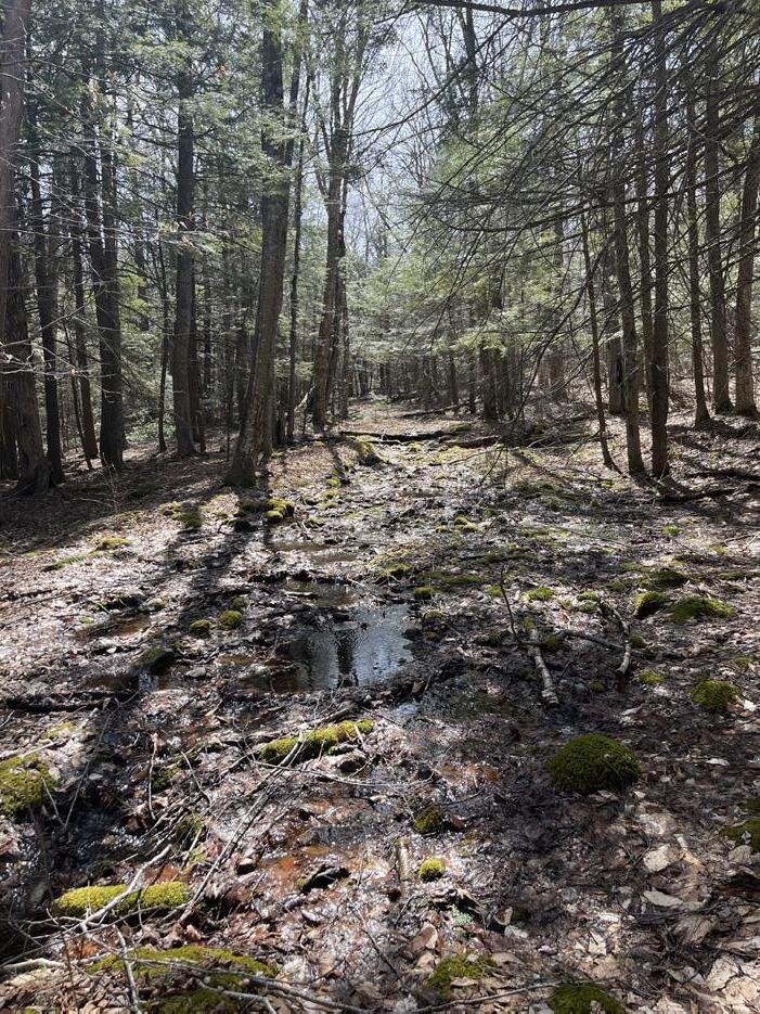
Especially flat areas require special attention to prevent trails from becoming inundated with water. The trail along the river, as well as the access road for the Springfield Water and Sewer Commission, are prone to pooling (based on analysis and on site observations). This is particularly apparent for the easternmost river trail (E), which rests at the bottom of the large hill (D) and receives large amounts of run-off.