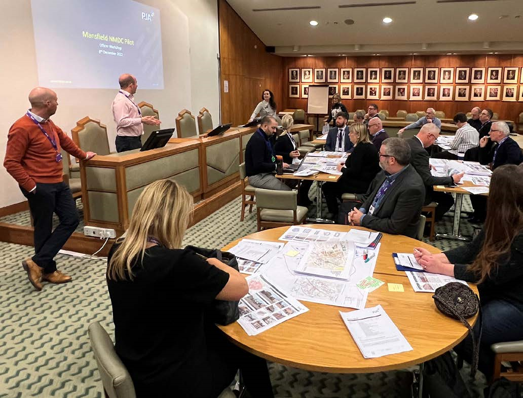
5 minute read
Pathfinders’ progress against the NMDC – 4. Setting a design vision and coding plan


4. Setting a design vision and coding plan
This section summarises learnings from the Pathfinders on setting a vision for their coding area, allocating area types and preparing a coding plan that effectively reflects both.
$ Pathfinders struggled to pin down an overall vision for their coding area, and often underestimated how long it would take to clearly define their vision and objectives.
$ Identifying the character of an area helps to determine the priorities of a design code. However, a lack of knowledge on how to use area types meant some Pathfinders struggled to determine a proportionate number of area types for the scale of their code. Some Pathfinders chose to divert from the NMDC guidance and developed alternative approaches to using area types. These included:
Developing a code from local priorities, rather than area types.
“The NMDC suggests the approach of using area types, but we never really set out to do it that way… maybe it could work for some authorities, but we just didn’t want to be too prescriptive. It was crucial that we linked into those high-level objectives and tried to bring them down into the detail of what that actually looks like on the ground.”
Using area types to develop a series of area-specific codes each with their own objectives, which were then used to define over-arching design principles:
“We developed site-specific codes and worked with stakeholders and officers to define different character areas within the town centre… from there we were able to create good design principles and coding elements that would be applicable across the whole town centre, regardless of where you are.”
Pathfinders coding for authority-wide or large areas found area types were particularly important for their design code. These were not necessary when coding for a small area – for example, one local authority developing a sitespecific code, did not use area types but did identify building types to which different codes applied.
$ Another challenge was determining the appropriate level of detail for each scale of coding. Some Pathfinders disagreed about this within their teams. By the end of the programme most Pathfinders understood that the more specific the code, the more must-haves it could include.
“At a district level, there will be a high proportion of ‘shoulds’. As you zoom in with a greater level of certainty to a neighbourhood level, or even a parcel level, the frequency of must-haves increases.”
$ Pathfinders in rural areas found it challenging to apply predominantly urban typologies to their contexts. There was more scope for developing a character area type ‘from scratch’ when referring to greenfield sites, compared to urban settings with an established context.
“The type of development that we’re seeing is mainly greenfield developments on edges of existing settlement. “[This] is where the opportunity to make the most impact in terms of design quality is...but we don’t have the guidance to develop area types from scratch.”
Spotlight on Trafford: Authority-wide coding
Trafford’s design team defined area type boundaries using their collective knowledge and experience of working and living in the borough. The draft area types were then validated through community engagement. Some areas were straightforward to define, such as those aligned with the Council’s Core Strategy and Local Plan allocations for high-density development. However, the suburbs proved to be more challenging because of the variety of layouts and built form found in the neighbourhoods. Consequently, these area types were simplified to a single suburban area type where development is anticipated to primarily come forward on infill sites.
The coding plan includes several area types. Each area has its own distinct design requirements in addition to the general authority-wide strategic design principles applicable to all relevant developments.
These principles have been established to drive forward high-quality design. Each design principle is supported by a set of clear guidelines. This must be followed for all development in the borough, and development proposals must demonstrate how these principles have been addressed through the evolution of the scheme. Applicants are required to locate their site and area type from the coding plan to determine which sections of the design code are applicable to their development.

Take-aways for future design coders
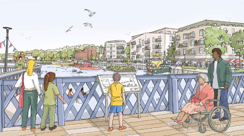
Use accessible language and be highly visual when developing a vision:
$ Ensure it’s clear and concise but detailed on local challenges and aspirations.
$ Illustrations can help demonstrate how the materials’ palette, building facades, roof profiles and other elements work together explore creative ways of communicating the vision.
When determining area types, proceed from what is unique:
$ Ensure area types are particular to their context, linked to the overall vision and characteristics the community cherishes.
$ Ensure area types reflect diversity of typologies to create/characterful neighbourhoods.
$ Include a limited number of area types, to avoid confusion on implementation.
Define area types through built form as a priority, followed by site edges and landscape:
$ Consider intersections between street, landscape and buildings.
$ Use cross-sections or sketches, as well as plans, to understand the relationship of area Types to each other and the boundaries between them.
$ Use mapping techniques such as morphological analysis to feed into the specifics of the code.
$ Take an integrated, cross-disciplinary approach to the delivery of functional green and blue infrastructure when defining area type.
In rural areas, divide the code into different scales
$ Consider settlement form, landscape setting, topography, context and the relationship between settlements.