1 minute read
Meso scale


Rural area - meso scale
How is the rural area being transformed?
Advertisement
Legend:
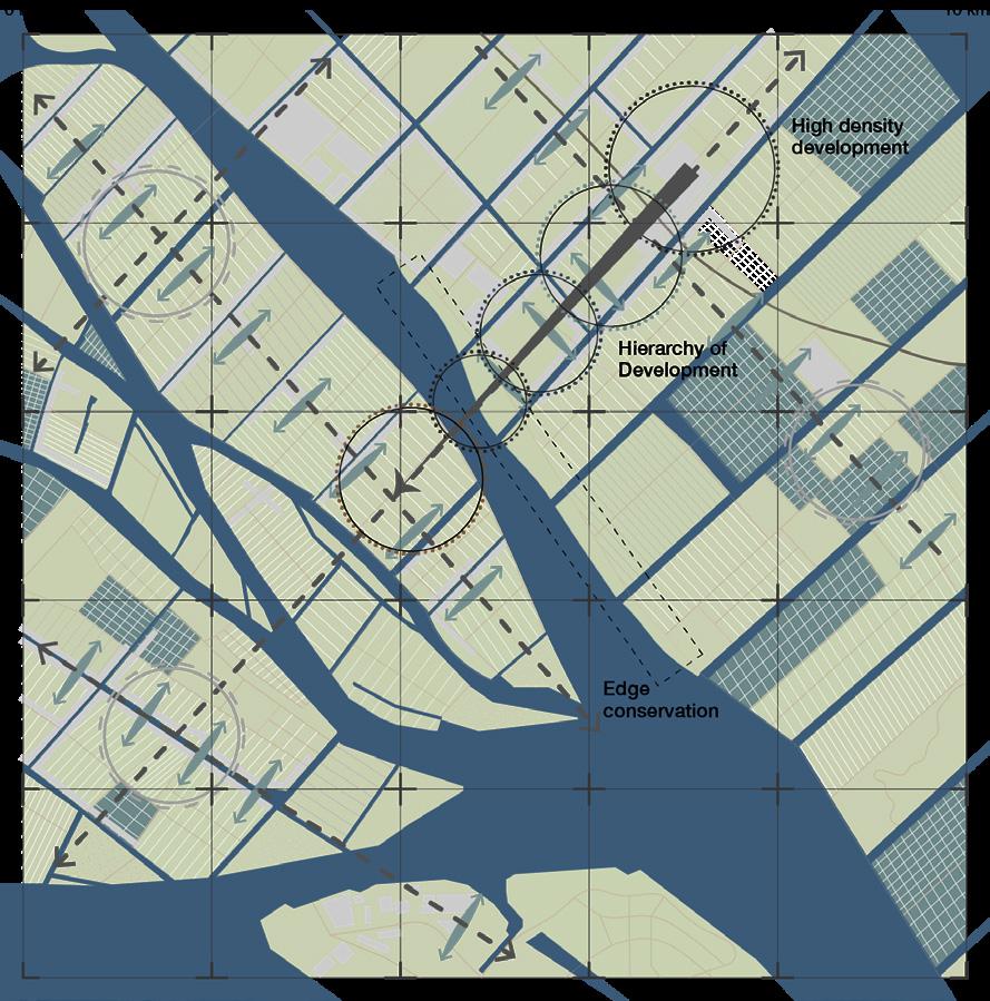
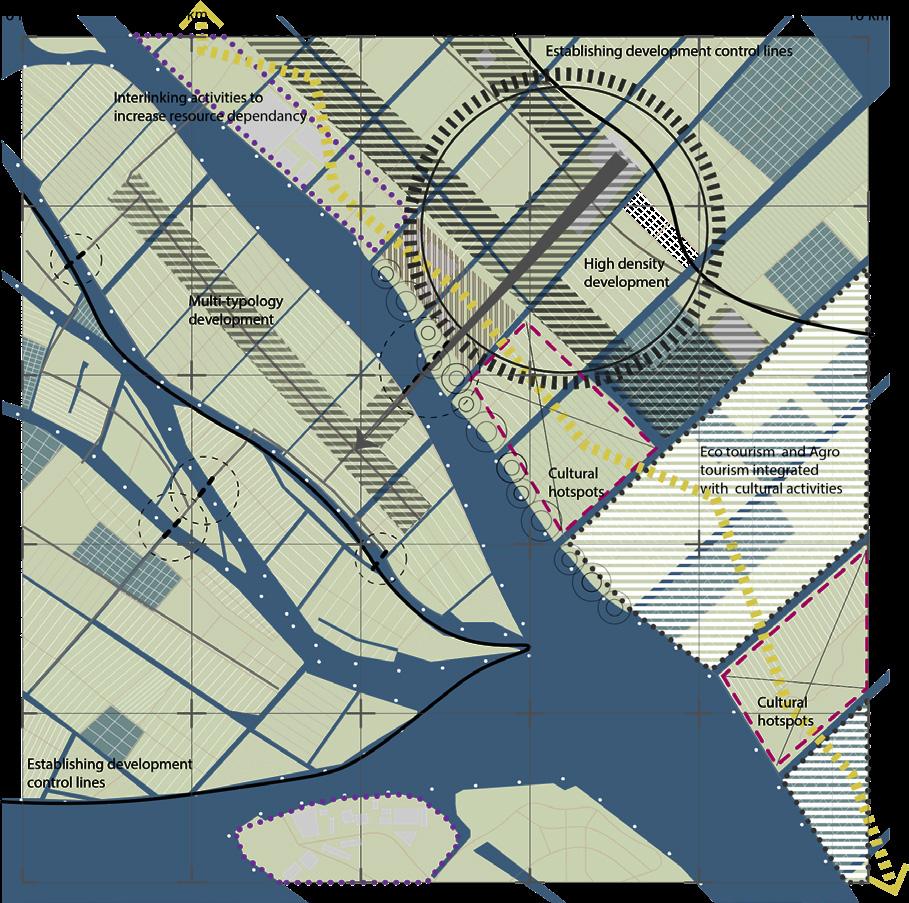
The main potential of this region is the introduction of the bridge connecting the east and the west bay. The ecological axis proposed at the regional scale overlaps with the new infrastructure axes creating multiple potential nodes of development. The new developments follow the linear structures. A knowledge-based economy dealing with sustainable agricultural practices and research labs is established for the local farmers and the people from around the region. This requires other support functions which are used as potentials to engage the coastline to provide incentives for their maintenance and conservation.
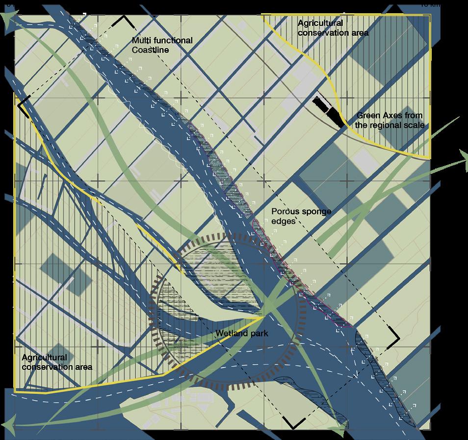
The agricultural land is protected with an establishment of development control lines and fish ponds become areas of eco-tourism and recreational areas that could be integrated with the cultural activities to encourage localised economy and engage the local people in this process of development. The area is flood-prone, so coastal protection with sponge areas along the hard edges are created.
The coastline becomes multifunctional with the creation of wetland parks and leisure activities making sure the flood protection measures are softer, greener. There is a sense of porosity to provide room for the water in this process of development.