D om i n i que D e G rac i a 2023 portfolio
| iii | contents

| iv | SELECTED WORKS sustainability initiatives 44 | 46 | media exploration design guidance 45 | public art competition 43 | 25 - 28 | locally grown 29 - 38 | design implementation the commodore step 09 - 14 | flowing 19 - 24 | bite-powered south park 15 - 18 | (re)working waterfront 03 - 08 | LANDSCAPE ARCHITECTURE + URBAN DESIGN design internships 41 |
| 01 |
(re)working waterfront the commodore step bite-powered south park flowing locally grown design implementation
| 02 |
LANDSCAPE ARCHITECTURE + URBAN DESIGN
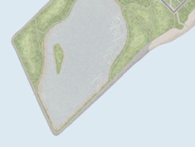
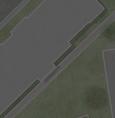
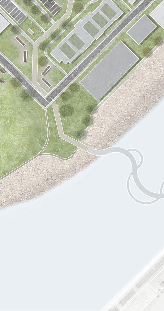
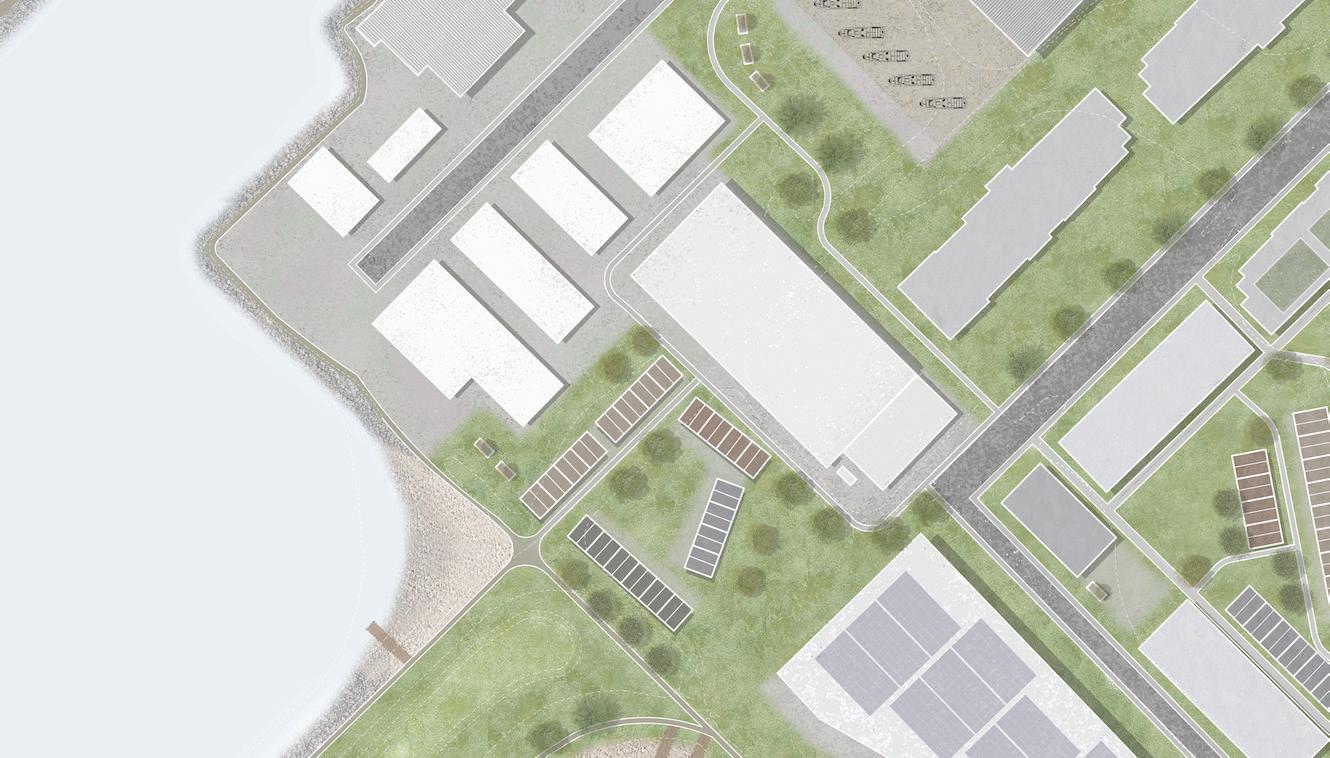
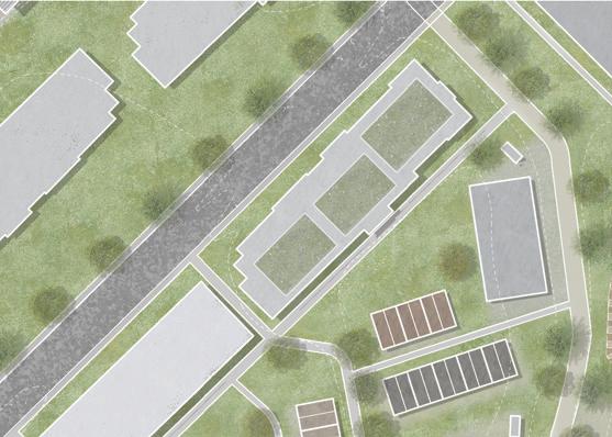
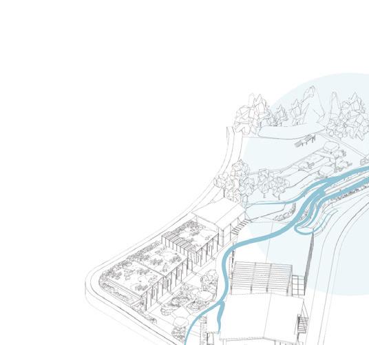
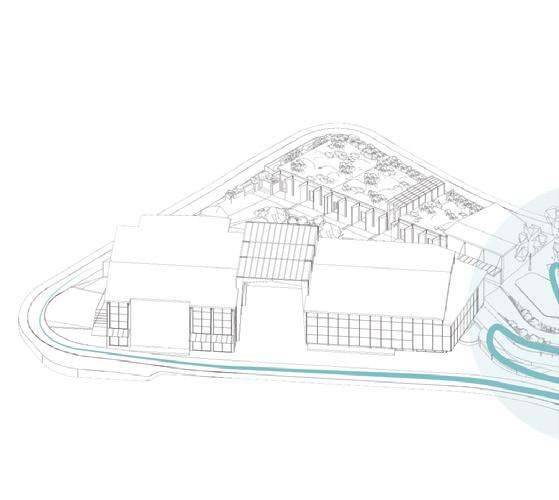
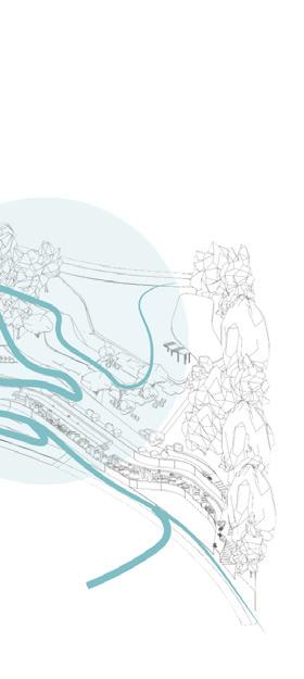
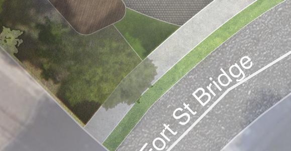
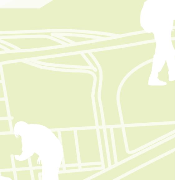
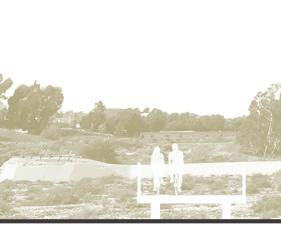
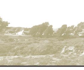
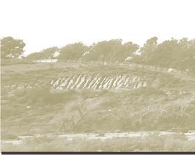
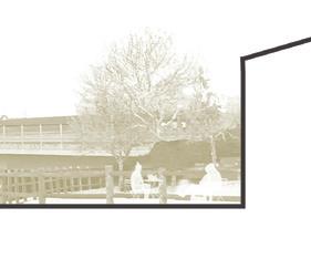
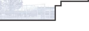
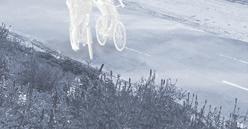
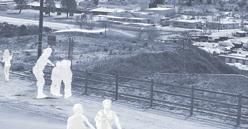
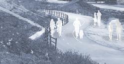
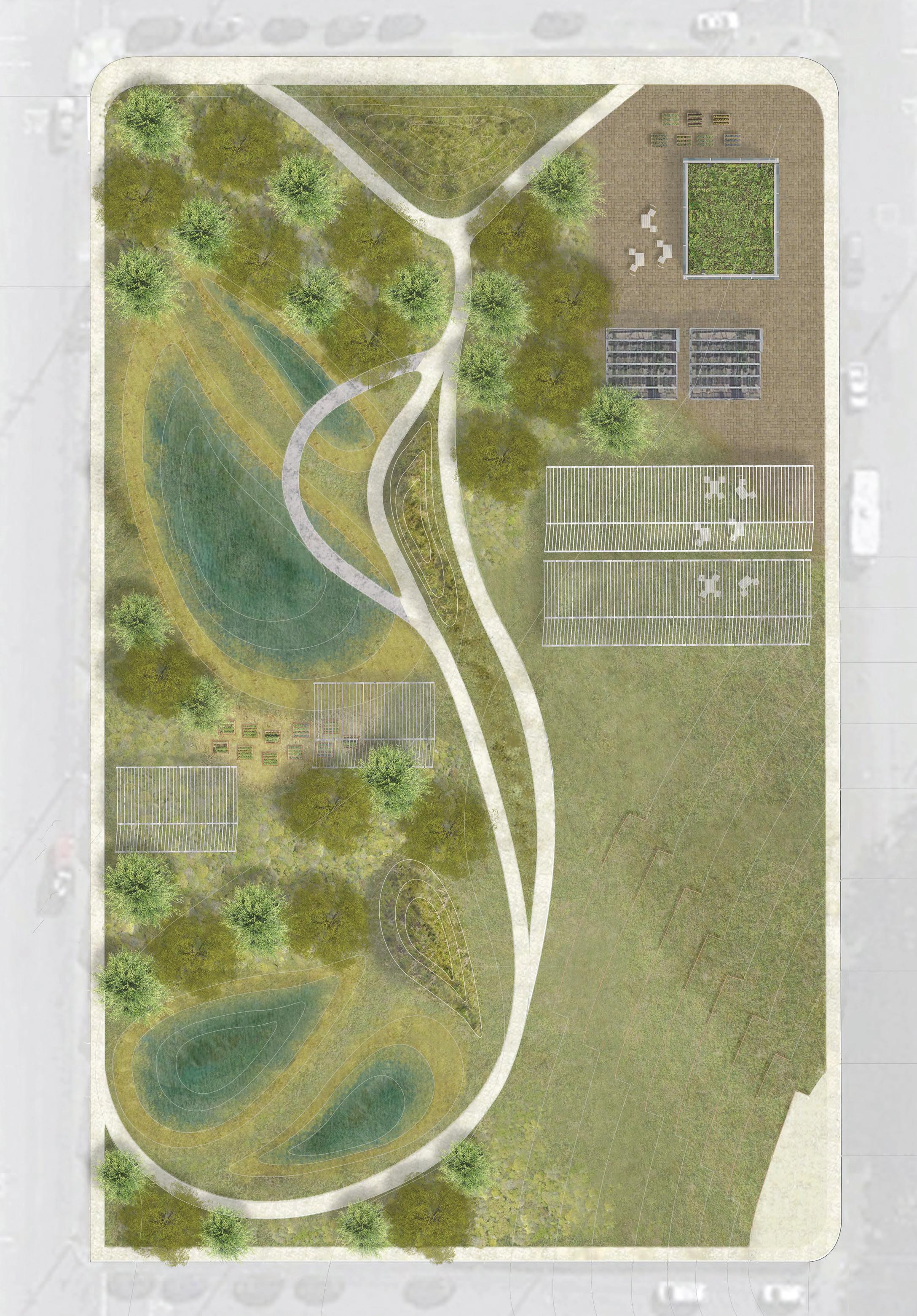
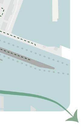
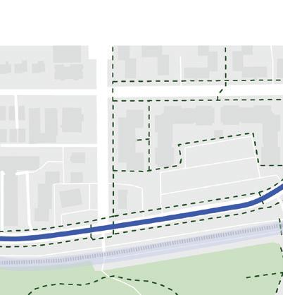
coalescing the urban fabrics
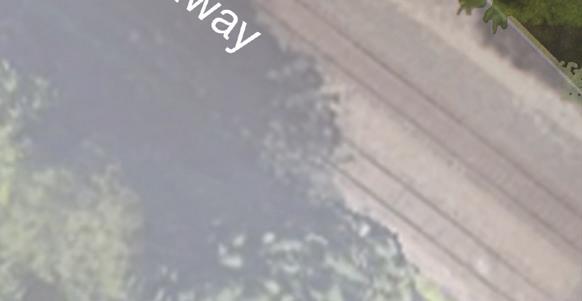
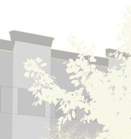
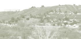
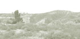
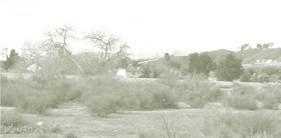
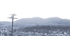
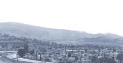
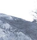
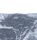
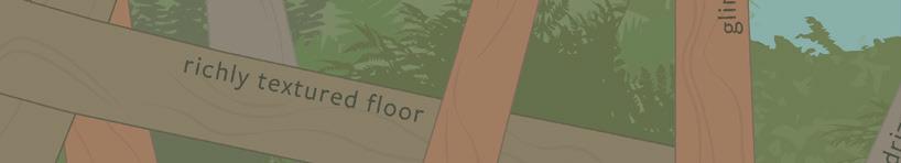
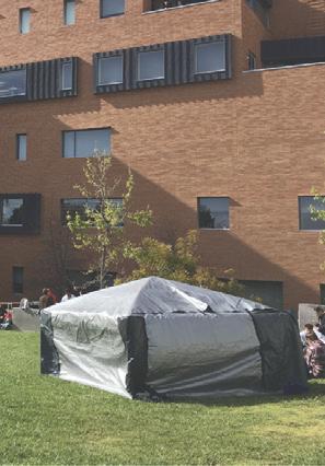
Bellingham, WA | Bellingham Waterfront Scan|Design Foundation Studio | 2022
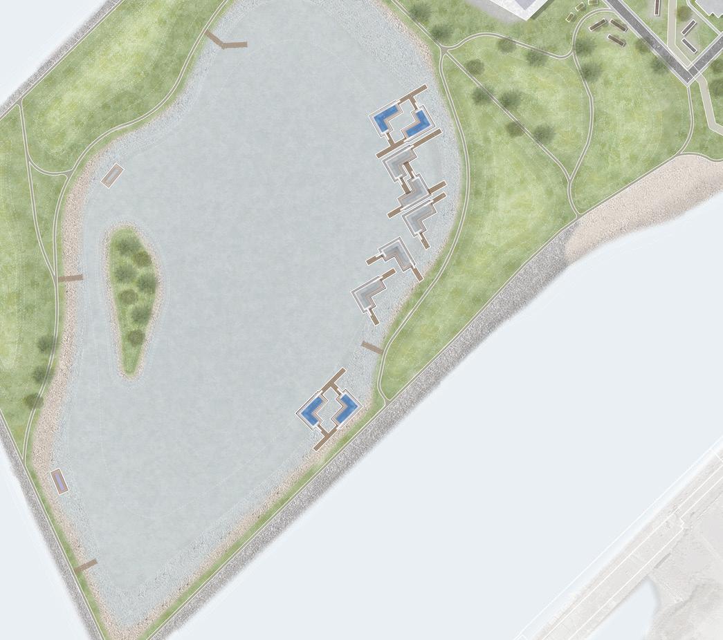
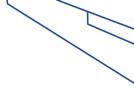
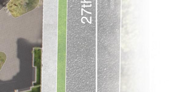
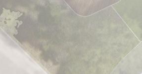
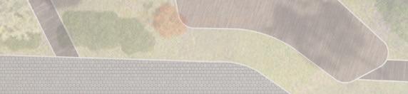
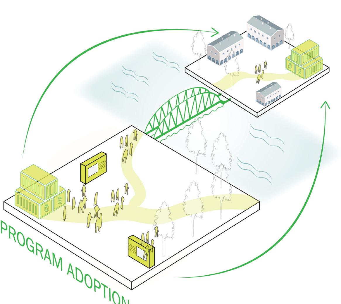
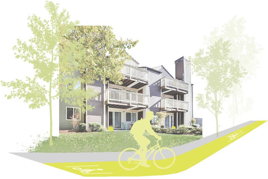
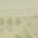
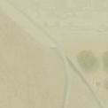
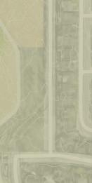
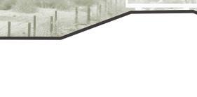
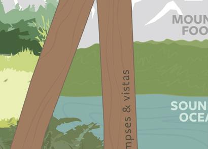
Our (Re)worked waterfront patchwork is an integrated marine working district that is walkable and offers education, employment, sustainable industry, play space for families, as well as passive and active recreation in nature. Through our proposed urban design and planning interventions, we aim to use the existing fabric of the Central Waterfront Site to create a (Re)working Waterfront district for Bellingham. A district that is climate-focused, accessible, functional, and sustainable for humans and the more than human world.
(Re)working Waterfront redefines how a modern waterfront operates. This strategy employs three focus areas to work towards the future of a climate focused district. (Re)working Waterfront changes the roles and relationships between these seemingly siloed focus areas, through phasing, to achieve a waterfront where these parts are inseparable from another. The resulting patchwork becomes a district where marine industry, research, living, commercial activity, and recreation are all possible while reducing environmental impacts.
This was a group project in which there were two landscape architecture student, an architecture student, and one urban planning student. The site design programing was conceptualized as a group. The site design and connections to the waterfront and adjacent waterfront were a joint urban design effort between Bri Weekes, and myself. I drafted the site plan in AutoCAD and rendered the site plan with Photoshop. I created our site’s grading model and calculations in Rhino and Revit. Floating structures were designed and rendered by Kat Golladay. All renders and sections shown were created by myself using Enscape, Rhino, and Photoshop.
Group Members: Kat Golladay, Bri Weekes and Alec Finewood
| 03 |


| 04 |
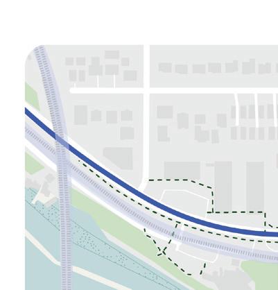
TEMPORALITY AND TRANSITION
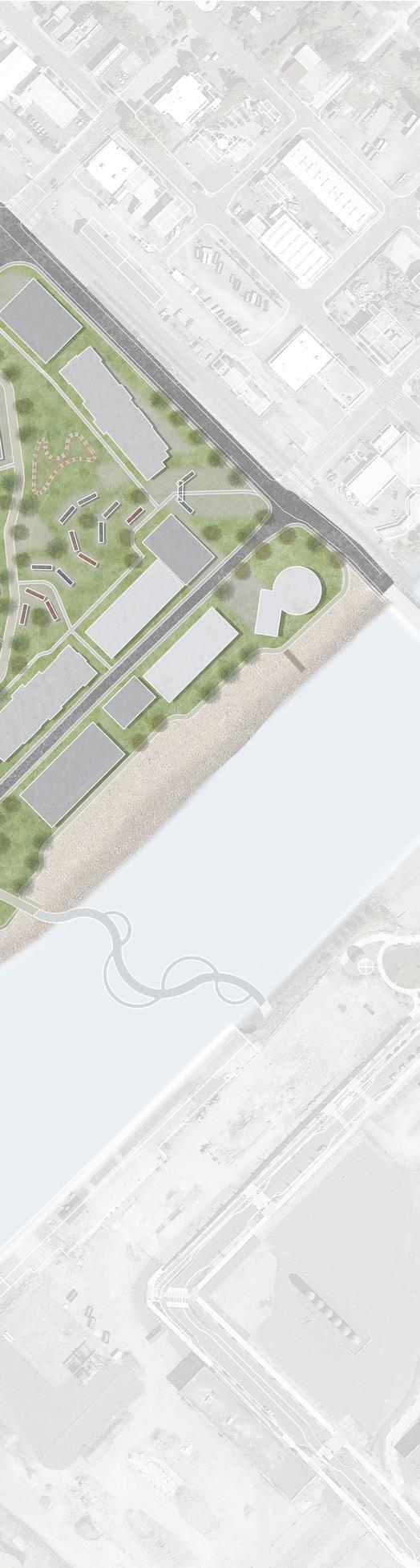
This phase emphasizes regrading of the site to allow for remediation of the ASB pond and site contaminants. We’ll be dredging the ASB pond and remediating on site. During this time there we will be a transitioning of the maritime industry to an established core. The northern portion of this site will continue to house All American Marine and Bornstein Seafoods, and make room for new and evolving industries to phase in.


TRANSITIONING TO NEW
Tenants move into the maritime/marine core, already highly utilized and seen by the industry, making it a prime location for growth and adapting industries. The addition of mixed use buildings, and a pedestrian bridge connecting the two waterfront sites, brings public interest. The central area of the site continues remediation processes, which introduces opportunity for temporal activation of space. The addition of our Tech Hub brings students, researchers and industry workers to a unifying space that allows for incubation of ideas and growth in technologies.
NEW AND EVOLVING WATERFRONT


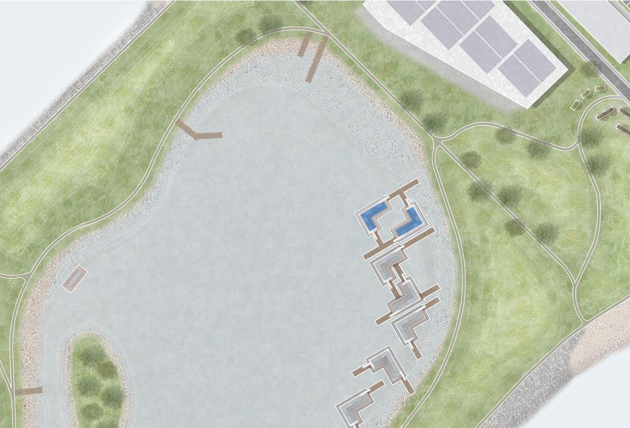
This phase envisions our site becoming a clean and desirable district, with housing and mixed use programming being added, as well as amenity spaces for residents and people of Bellingham. The addition of these spaces allows brings a neighborly and accessible environment to our district. This phase will introduce floating structures into the ASB pond that are adaptive and provide healthy habitat for the more than human world.
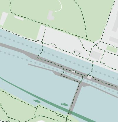
(RE)WORKED
Looking at the continued potential of this site, once remediation is completed and we see consistent positive impacts from our interventions, the ASB pond opens up. Just outside of the ASB pond is the areas largest eelgrass bed, critical habitat for salmon. Opening up the ASB pond will bring new life to the area and enhance research for those in the Tech Hub. With public docks, and direct connections to both residential and commercial areas we see our (Re)worked waterfront becoming a key Bellingham destination for industry workers, students, researcher, families, tourists and more.
| 05 |
PUMPTRACKALLAMERICAN MARINE
MARITIME/ MARINE CORE

MIXEDUSE MAKERSPACE
EVOLVING INDUSTRY
PUBLICDOCKS
RESIDENTIAL CORE


FLOATING STRUCTURES
FLOATING HOMES
HEALTHY HABITAT
CONNECTIONS
BIKE KITCHEN
PUBLIC AMENITIES
MIXEDUSE+ ROOFACTIVATION LIBRARY


CONTAINER MIXEDUSE


PEOPLE PLACES
WHATCOM CREEK ACTIVATION
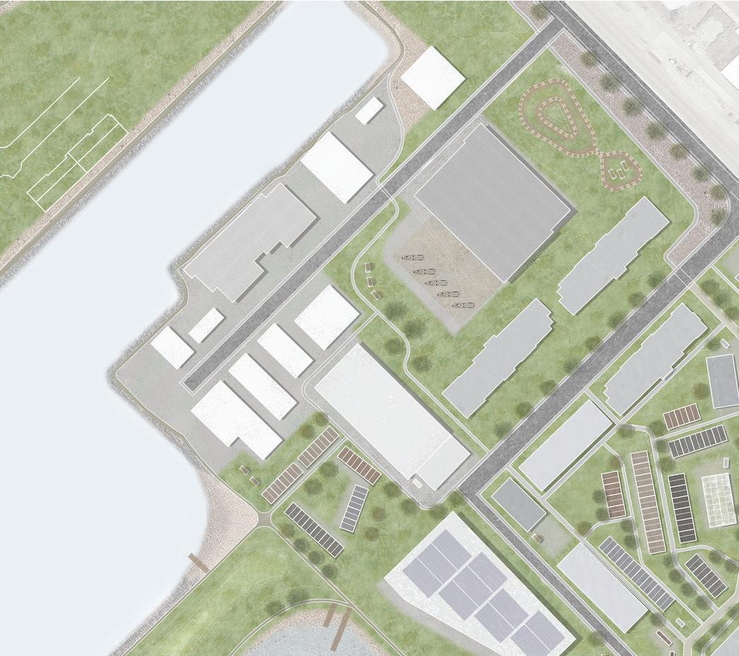
PEDESTRIAN CONNECTION


| 06 |
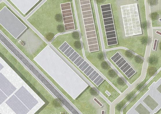
EVOLVING INDUSTRY


A designated industry core and creation of a Marine Tech Hub. This adapted built environment framework provides opportunity for new connections between various users, creating an eco-industry district


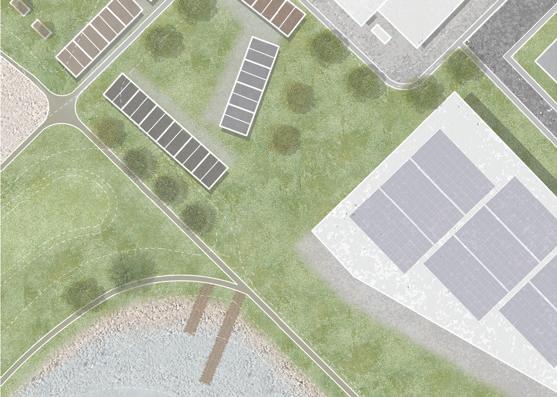
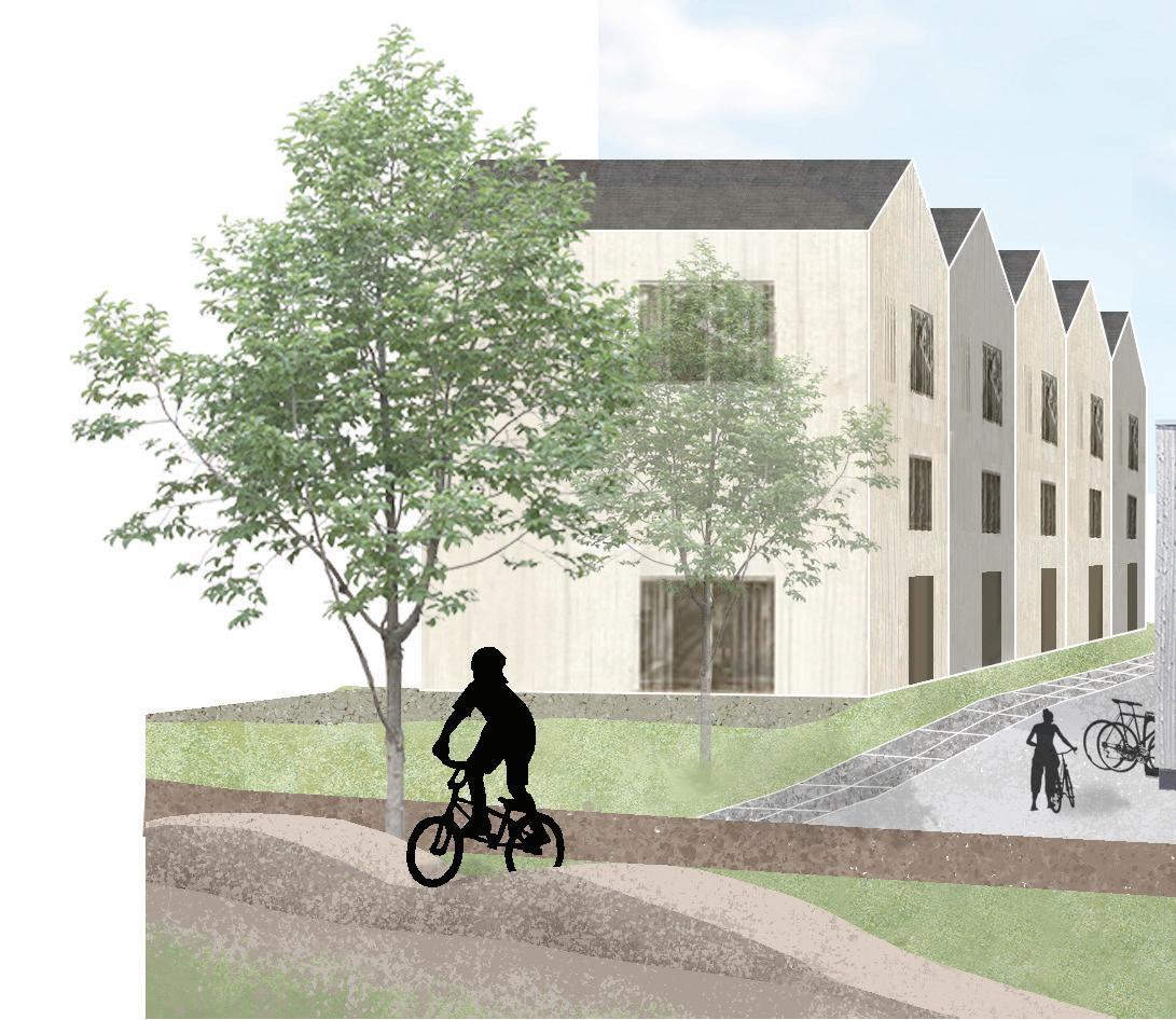
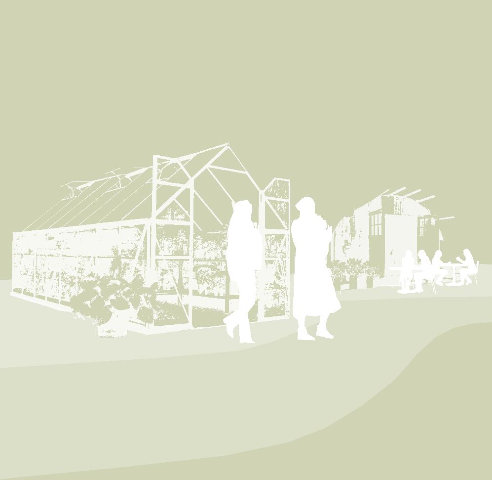
PEOPLE PLACES

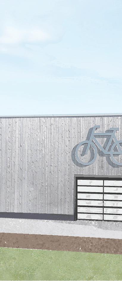
Creating people places with various forms of housing, including townhomes, live/work, and mixed use. Providing public and semi-private amenities: greenhouse, bike kitchen, etc.
HEALTHY HABITAT
Remediating toxins on site and paving the way for new research technologies to continue and monitor. Creating healthy habitats through floating wetlands, expanded green spaces, etc.

| 07 |
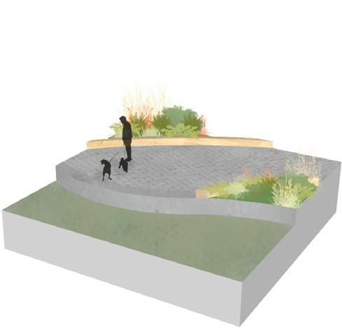
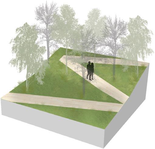
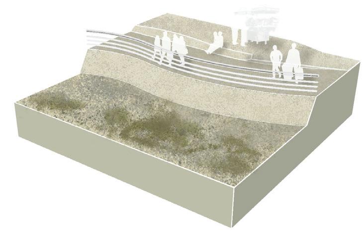
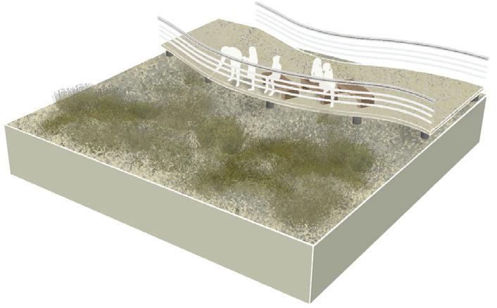
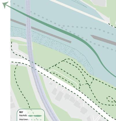
As one moves through this residential core, they could bike through and by the bike kitchen, townhomes, pump tracks, container village, greenhouse, and mixed use spaces before hitting our bridge, or continuing on to the variety of ASB and AS(HUB) connections.
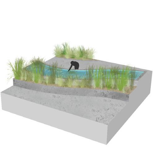
The ASB Trail provides a visual boundary for the ASB Pond, that will work as an immersive research site for users of the AS(HUB). The AS(HUB) is a space for students, marine researchers and industry workers to innovate and grow within their field.


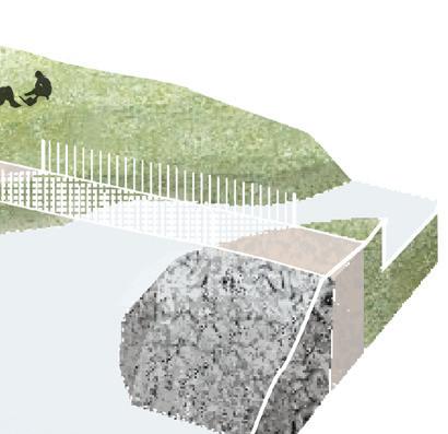
Potential to open the ASB Pond would allow for ecological growth. New bridge connections are made of light penetrating surfaces, providing ideal conditions for passing wildlife.
| 08 |
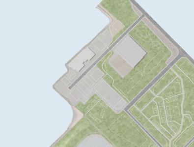
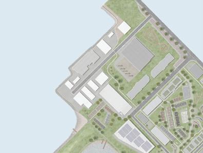
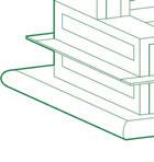
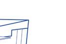
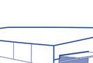
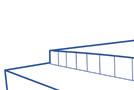
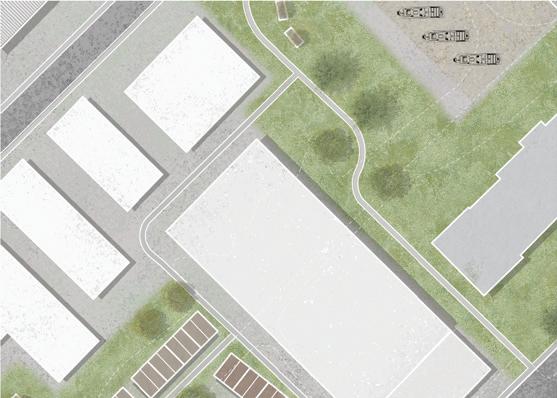
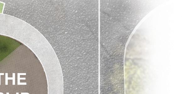
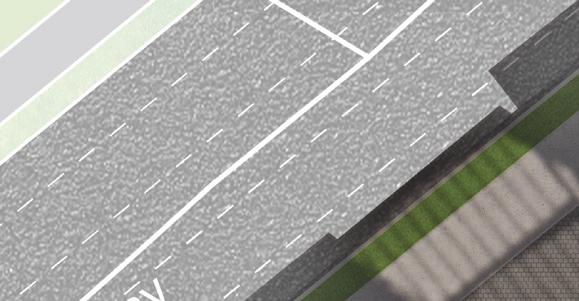
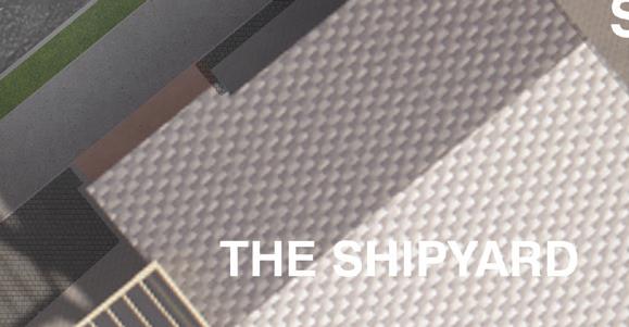
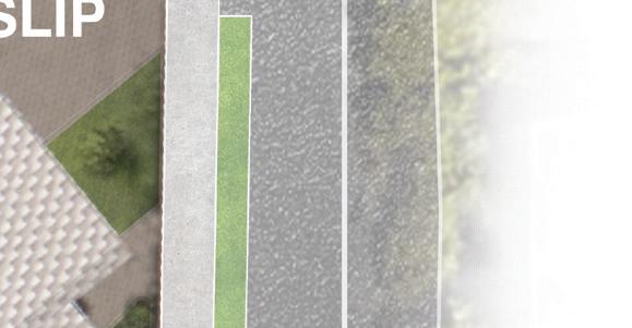
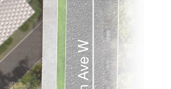
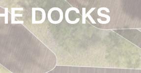
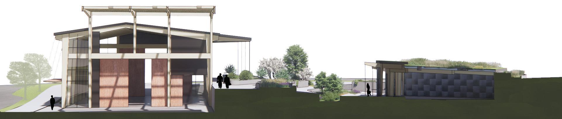
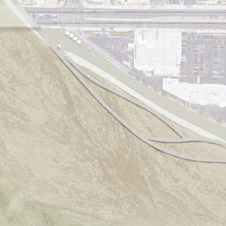
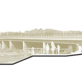
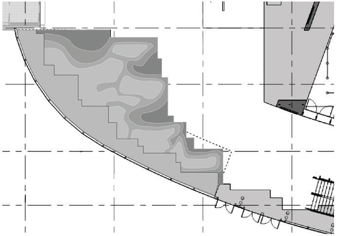
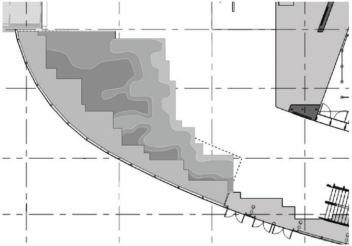
a maritime maker space, connecting residents to the waterfront
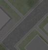
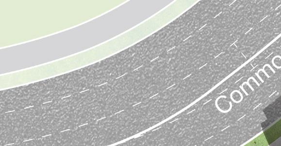
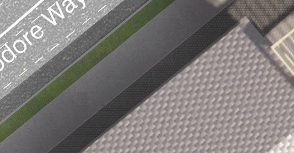
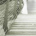
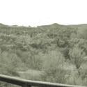
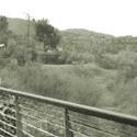
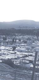
Seattle, WA | Commodore Way
Maritime Futures Studio | 2021
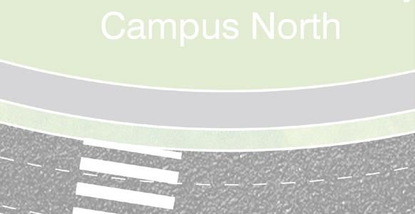
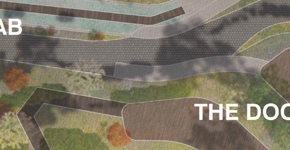
This site was once a waterfront oil refinery, that is currently in the process of remediation. With the intent to sell the entire site to a developer, our studio broke up the space into seven (7) sites that would be part of a main campus. Our site was the southern most, and would be separated front he rest of the campus by a main road. Keeping this in mind we designed a space that could stand alone, but also seamlessly connect the surrounding commercial and residential areas to our campus. Our project could be the first thing you see when you approach the campus, or it could be the last place you visit when you are at the waterfront.
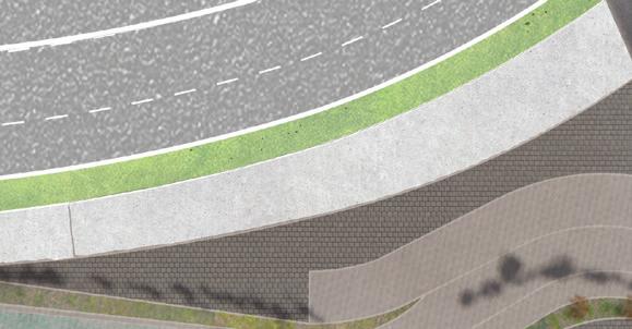
With views of the Salmon Bay Bridge, Salmon Bay, and the Ballard Locks, this waterfront location is a time capsule of maritime history in Seattle. It serves as a space for maritime makers and innovators, and a stepping stone that connects industry and recreation to the waterfront.
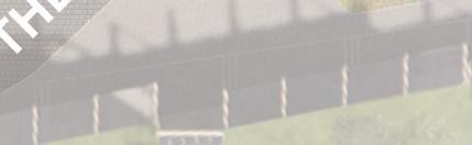
With a maker space, testing areas, and residency program, The Commodore Step creates a foundation for temporal projects that highlight the ongoing potential of the maritime industry.
This was a group project in which there were two landscape architecture student and one architecture student. The site design and building programing were conceptualized as a group. The site design and connections to the architecture and rest of the campus were designed by Cyrus Deloye and myself. I drafted the site plan in AutoCAD and rendered our group’s site model, created by Cyrus, in Enscape. Bryant Callahan was the lead designer for our residences and maker space, collaborating with Cyrus and me on integrating the architecture into the landscape.
Group Members: Bryant Callahan and Cyrus Deloye
| 09 |

| 10 |


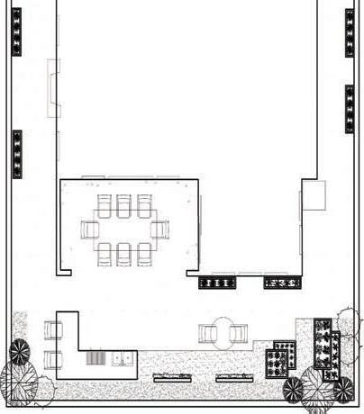
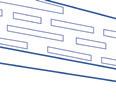
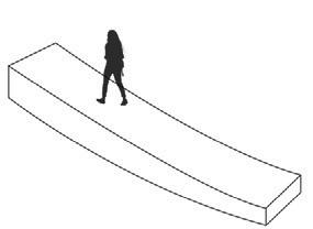
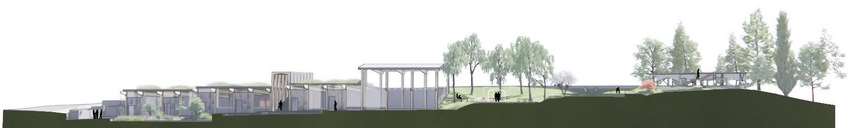
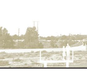
 SE view: Searching the hillside for the perfect view
SW view: The daily commute
NE view: Strolling down the promenade
SE view: Searching the hillside for the perfect view
SW view: The daily commute
NE view: Strolling down the promenade
C D | 11 |
NW view: Shortcut to the waterfront


B B C D | 12 |
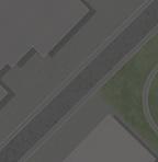
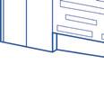
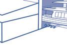
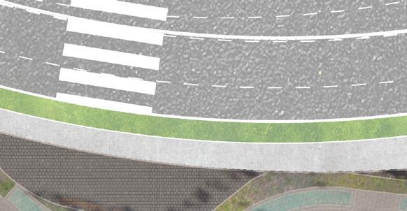
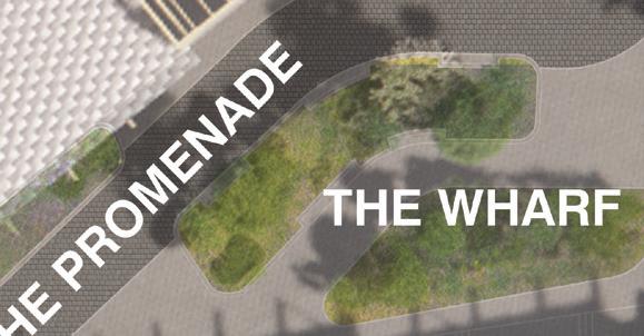
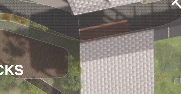
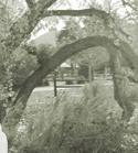
HARDSCAPE MATERIALS
LIT ARCHES
aluminum butler truss style arches, with lighting, at ramp entrances
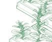
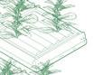
PLANT MATERIALS


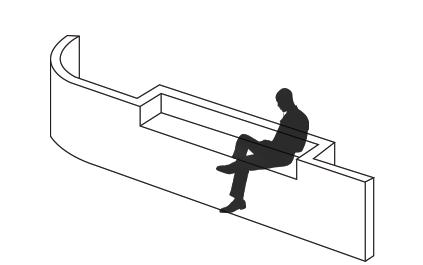
SEATWALL concrete seatwalls in ‘the wharf’ and ‘the promenade’
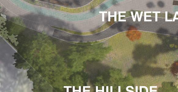
RAMP concrete ramps to ‘the wet lab’ and terraces
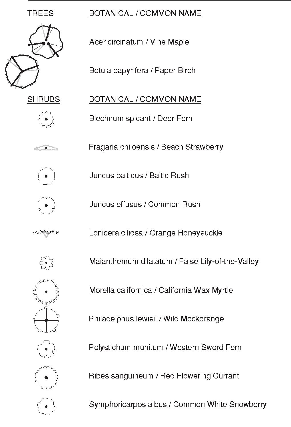
TREES
PLATFORM
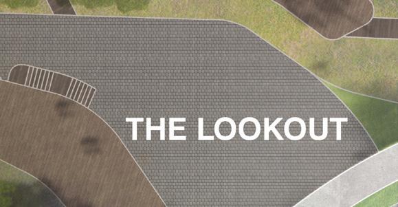
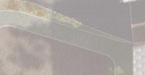
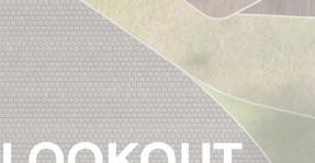
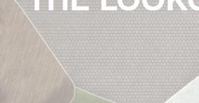
wooden platform at ‘the wet lab’ and ramps to ‘the lookout’

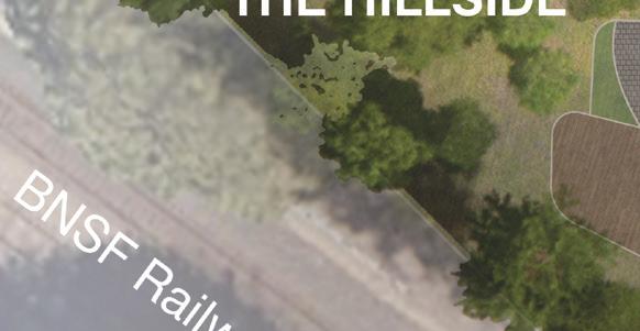
HILLSIDE ZONES
PLAZA PLANTERS
ORNAMENTAL TERRACE
WETLAND TERRACE
STATEMENT
Hamamelis virginiana
Cotinus coggygria


PUNCTUATION
Pseudotsuga menziesii
Pinus monticola
Tsuga heterophylla
FILLER
Betula papyrifera
Populous tremuloides
Alnus rubra
MID STORY PLANTS
STATEMENT
Mahonia x media
Arc. columbiana

Pittosporum tenuifolium
Choisya ternata
Ceanothus thyrsiflorus
Tasmannia lanceolata
PUNCTUATION
Gillenia trifoliata
Fatsia japonica


Cornus sanguinea ‘midwinter fire’
FILLER
Pennisetum alopecuroides

Rudbeckia spp.
Echinacea spp.
Myrtus communis


GROUNDCOVER
STATEMENT
Blechnum spicant

Dryopteris filix-mas
Adiantum aleuticum


PUNCTUATION
Arc. x media
Arc. nevadensis


Impatiens glandulifera
Dryopteris expansa
Asplenium scolopendrium


FILLER
Astrantia spp.
Salvia patens
Verbena bonariensis
Cotoneaster horizontalis
Erysimum spp.
Achillea millefolium
| 13 |
SECTION D-D
SECTION A-A
| 14 |
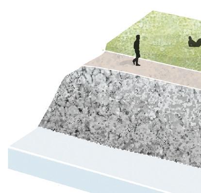
West to East cut through the wharf, the docks, and the hillside. Showing connections to residences and layers of steps through out.
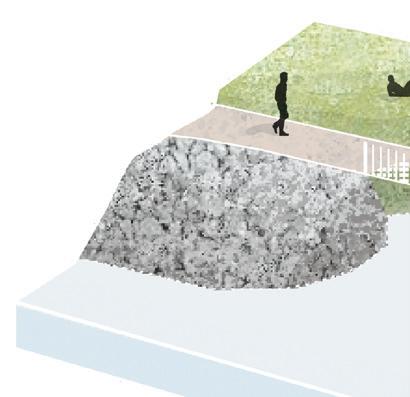
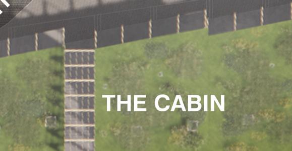
North to South cut through the shipyard, the promenade and the cabin. Steps allow for privacy to the residences and a break from a live/work space.
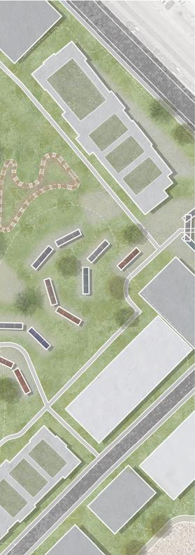
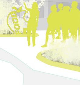
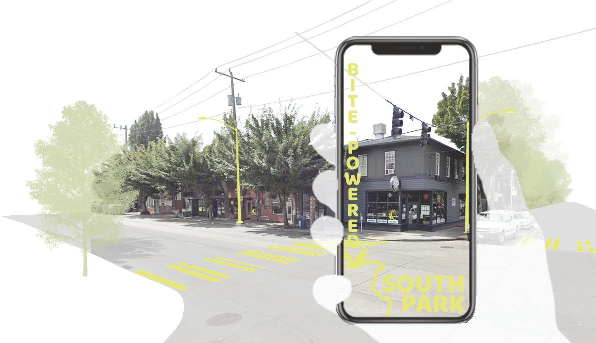
recognition + participation = expansion
Seattle, WA | South Park Waste Systems Studio | 2022
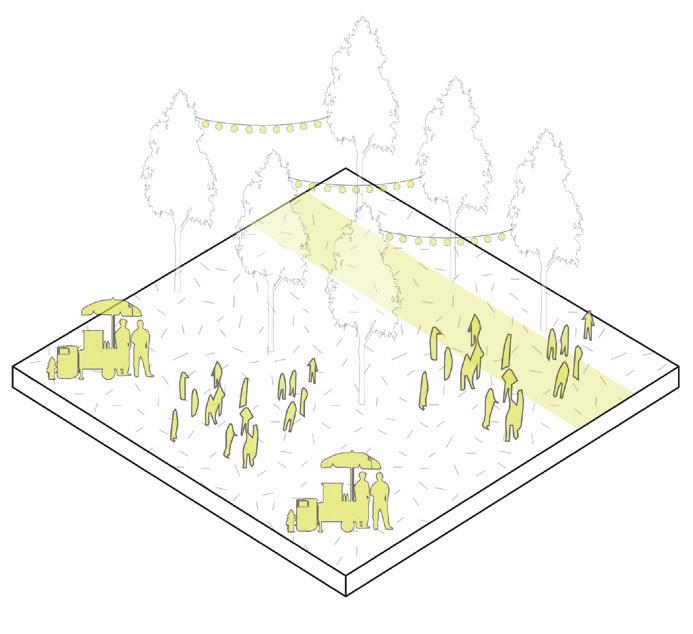
Bite-Powered South Park is exploring the various possibilities of creating food waste into food opportunity. We believe that through recognition and participation it can lead to expansion of this system, all while improving everyday journeys.
By implementing a series of strong and recognizable interventions throughout the South Park neighborhood that educates the community on what the biodigestor is, how to get involved, and how this is benefiting South Park as whole; our pilot program will not only divert food waste but give South Park the opportunity to become a waste to resource community. Through our various design interventions South Park becomes a connected neighborhood powered by their own food, or their “bites.”
This was a group project in an advanced landscape architecture studio. The site design, design interventions, and programming were conceptualized as a group. I focused on determining and programming the sites, and creating the vignettes of our proposed “Hubs.” Rhys Coffee focused on research and development of the biodigestor program. Matt Olszewski focused on developing our toolkit and concept diagram.
Group Members: Rhys Coffee and Matt Olszewski
| 15 |


| 16 |
APPROACH
Being a participant can be shown on a community level and individual level; as a community the current contributors will be highlighted, as an individual you can be apart of the Bite Box program and interact with the tools found around town.
COMMUNITY INPUT
PARTICIPATION RECOGNITION EXPANSION
Recognizable elements, displayed throughout South Park, help grassroots community programs build recognition through an identifiable toolkit to spark curiosity and lead to further participation in the neighborhood.
As we continue to receive food waste and gain recognition, participation will increase and expansion would be necessary. More biodigestor sites, collection hubs, and contributors will be implemented into the process. These future connections will be key identifiers in creating a community brand for all of South Seattle.
 Collage imagery from our community charrette with youth of South Park and Georgetown.
| 17 |
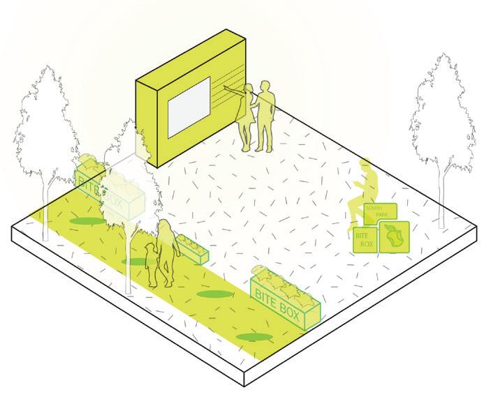
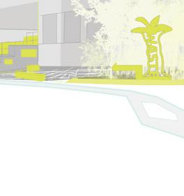
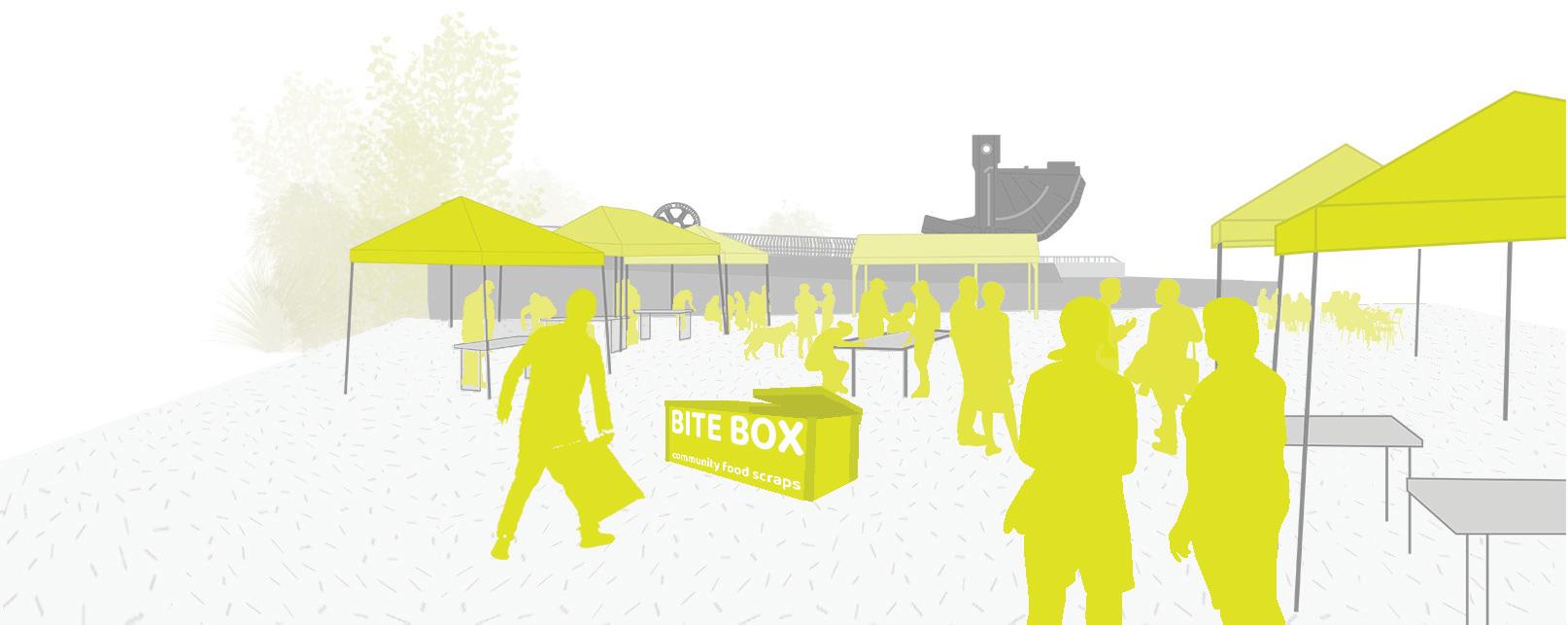
DESIGNATED HUBS
SOUTH PARK PLAZA
Food Celebration + Gathering Hub
With similar programing already happening in this space, like El Mercadito, South Park Plaza becomes the main gathering space for the Pilot Program
DUWAMISH RIVER COMMUNITY HUB
Community Planning + Participation Hub

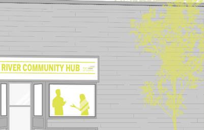
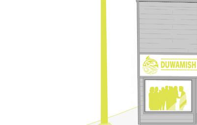

Already a prominent component for community groups in South Park, the Duwamish River Community Hub is for contributors and participants to plan for the present and future of the program
FOOD LIFELINE
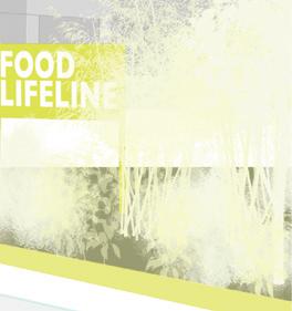
Demonstrational + Educational Hub
The site of the biodigestor, Food Lifeline will bring in various groups to learn about the program from South Park contributor maps to an educational walk
CONNECTORS
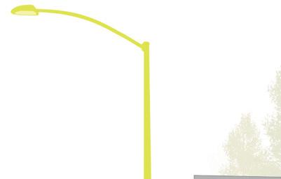
Interventions include recognition tools, in which pedestrians can find as they move through South Park. They promote our program while also speaking a universal language to passersby.
Our design interventions include participation tools. South Park residents are able to learn about and contribute to the program.
| 18 |
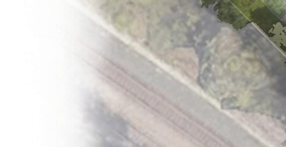
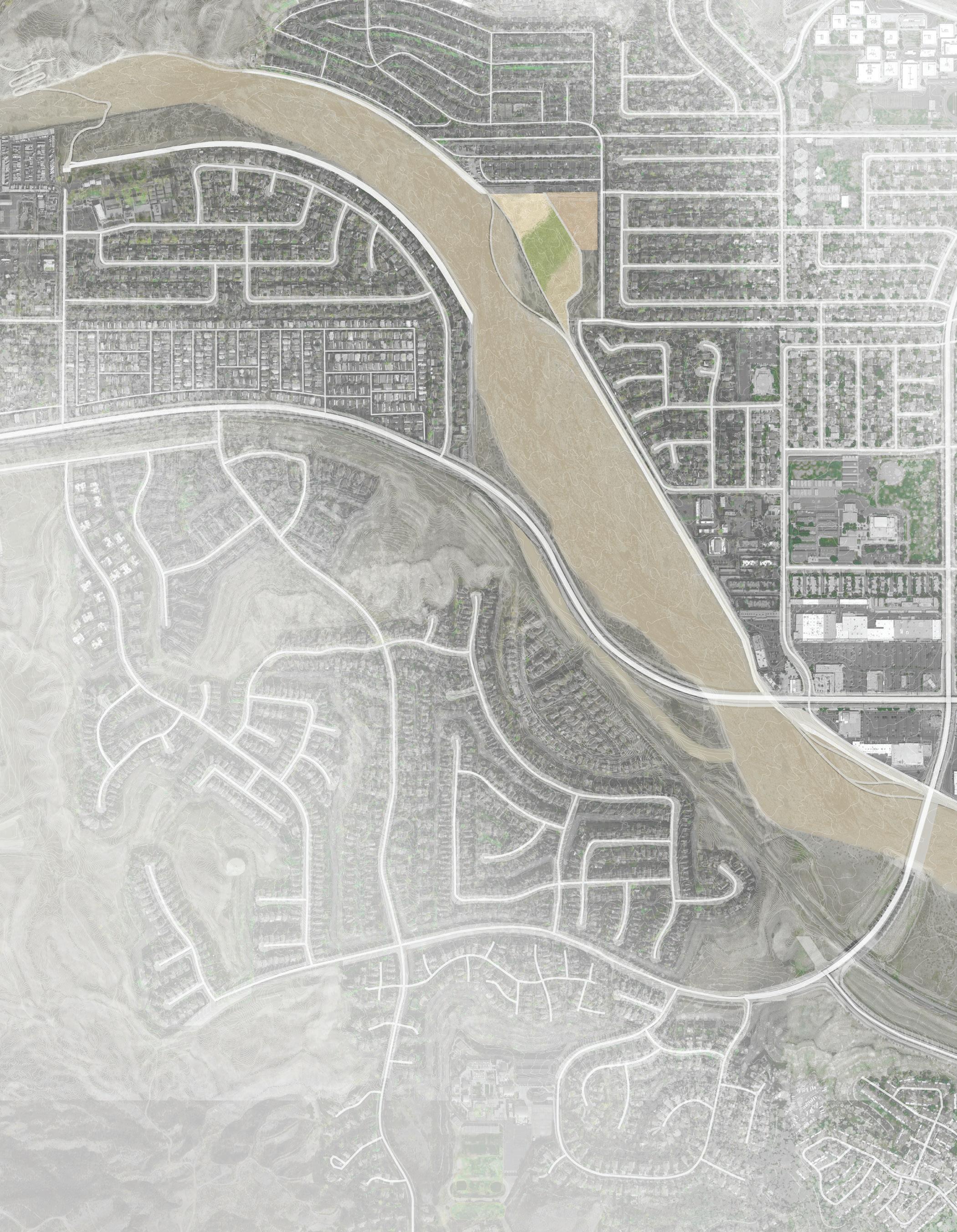
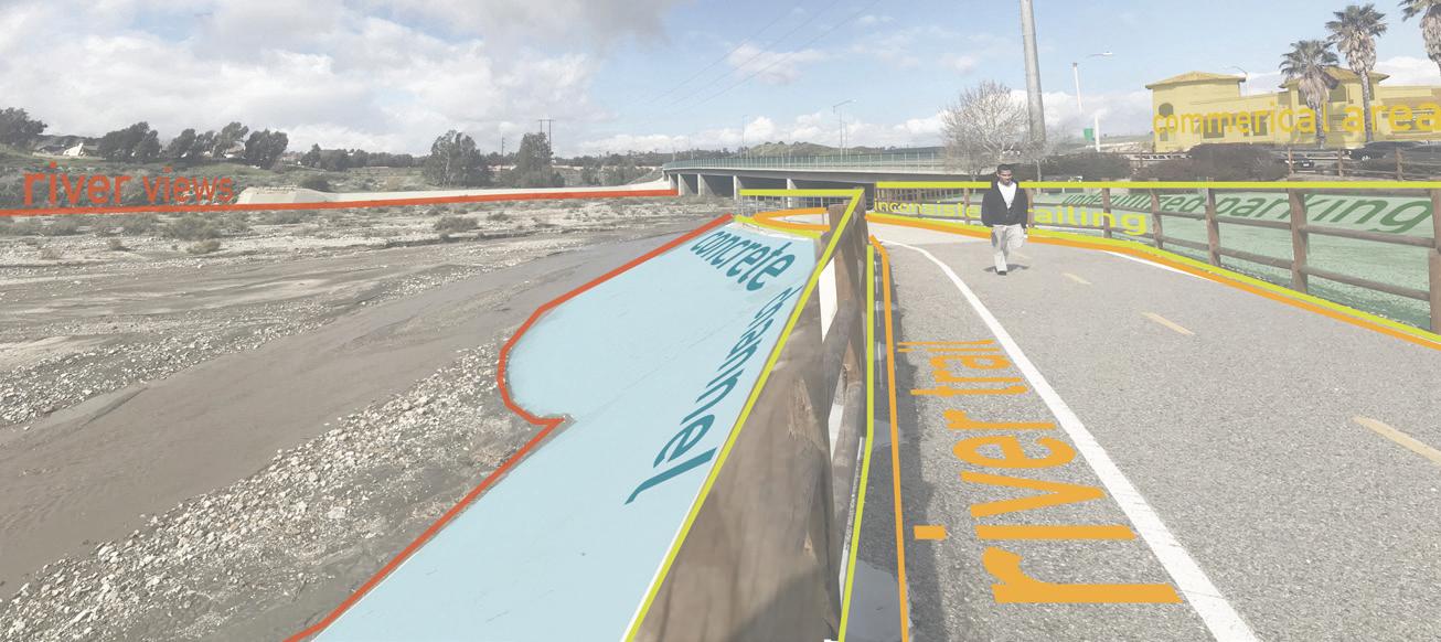
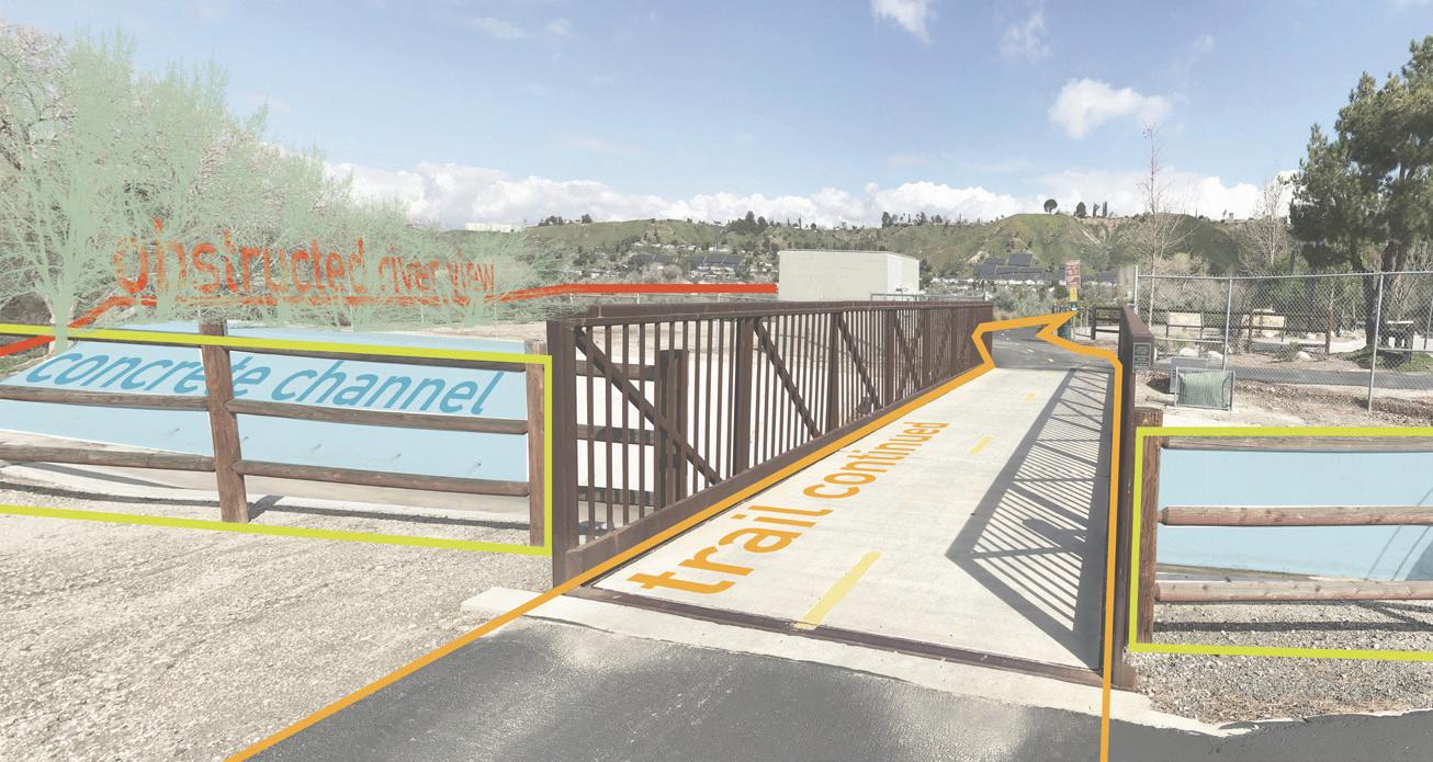
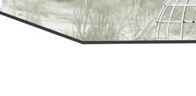
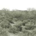
creating fluidity of people and place through activating trail space
Santa Clarita, CA | Santa Clara River
Senior Capstone | 2019
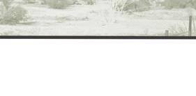
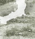
S anta Clarita if the third largest city in Los Angeles County and is home to the Santa Clara River; which is the last natural river in Southern California, at least in the lower watershed in Ventura County. Although it is dry most of the year, the river “flows” right through the middle of the city. Do not be mistaken by the name and blue line shown on maps, this is not an actual body of water; do not come to Santa Clarita expecting to kayak down the river and through the city.
The Santa Clara River Trail runs along multiple parts of the river, certain parts of the trail are more developed than others, and the whole trail system in Santa Clarita lacks proper connections. The river is prone to flash flooding, which affects the trail and the people who currently use this space.
The design decisions made were based on research for the are of Canyon Country, within Santa Clarita. This part of town is lacking the most in connections to the river and the rest of Santa Clarita. These proposed designs tackle different spaces that would positively affect the people around them, focusing on educational, residential, and commercial areas.
| 19 |


| 20 |
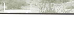
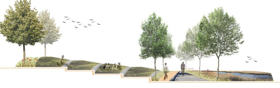
Flowing proposes a series of design interventions that reinvent the idea and flow of the Santa Clara River. Interventions that allow visitors to utilize the space in any condition, rain or shine.
With three different, carefully selected river-side sites, “ flowing” looks at the river and its connections, or lack thereof, to the city of Santa Clarita. It addresses these issues, that can be found in the existing city trails, as well as the minimal amount of knowledge and attention the Santa Clara River receives.


Flowing creates connections and programs in areas that are in need of them. Looking at existing educational, residential, and commercial areas, “flowing” introduces site-specific connections and programs to activate connection between user and landscape.


soledad canyon rd whites canyon rd stillmore st viaprincessa soledadcanyonrd whites canyon rd delight st camp plenty rd soledad canyonrd camp plenty rd scale 1” = 1000’
abstract ed u c a t i o nal connection for school to river observation extension over river rio vista elementary school santa clara river rio vista learning lab r e s i d e n t i a l trail extensions parking slopes/play open lawn geology/flora learning santa clara river discovery park c o m m e r c i a l multi-functional event space trail extensions existing parking santa clara river canyon center trail | 21 |
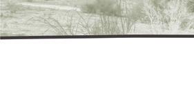
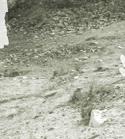
Rio Vista has what its name implies, a river view. This elementary school sits alongside the river but has no access or connection to it. It is fenced off, and has a concrete buffer, protecting the school in the event of a flood. The river is used by a variety of animals as a wildlife corridor, and while there is a mountain view, the existing path is inaccessible to the public.
DISCOVERY PARK
Discovery Park is and underutilized park at the eastern portion of the Santa Clara River Trail. Although it is right along the Santa Clara River, there is not an accessible view of it. This blank canvas in the middle of a residential area could be used for the local community members to discover Santa Clarita by extending the trail to connect back to the western portion of the trail.
CANYON CENTER SHOPPING PLAZA
Canyon Center is the largest shopping center on the eastern side of Santa Clarita. The shopping center is divided by Soledad Canyon Road and is a trail head for the Santa Clara River Trail and the Commuter Trail. This river-side trail is underutilized and has the potential for programing and extensions.
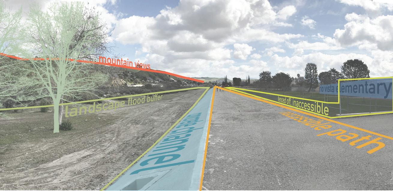
RIO VISTA ELEMENTARY
| 22 |
RIO VISTA ELEMENTARY
activated by observation areas and a learning lab
santa clara river | flood zone | corridor goldenmountainsvalley santa clara river works as a wild life corridor for endangered animals coming from the angeles national forest
trail trail flood buffer
ca condor ca red-legged frog ringtail cat


concrete buffer

DISCOVERY PARK
activated by history and river accessibility
trail trail santa clara river | flood zone spanish settlers came to santa clarita because of the once wild, but small, river.
CANYON CENTER SHOPPING PLAZA
activated by flex spaces and trail extensions


rio vista elementary school

trail trail


santa clara river | flood zone | debris collection portions of the new river trail will have protruding filtration devices. design based on sediment patterns left behind after a flood.
historical | native planting flood buffer


discovery park
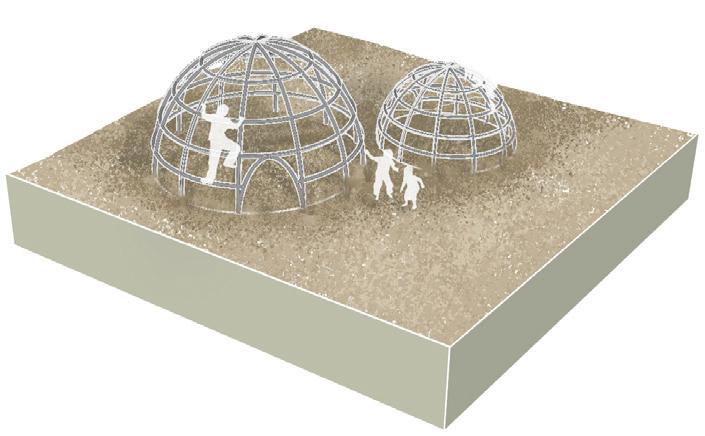
tataviam play structure trail inspired by the homes of tataviam native americans: people of the slopes
the first noted discovery of gold found in oak understory by francisco lopez
concrete buffer multi-functional space

canyon center shopping plaza
trail under-utilized parking turns into open space that can be used for events. ex: farmer’s market external pattern section detail | 23 |
transitions for students to observe transitioning areas of their landscape
observations for students to watch and experience the native flora and fauna


discovering slopes tribute to 1st settlers, the tataviam tribe: people of the slopes
discovering gold allows the community to learn about native plants and geology
filtration protrusions collect flood debris, showing affects of pollution


extensions allows for leisure and lingering in this commercial area
| 24 |
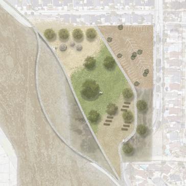
reviving a neighborhood’s once flourishing rose nursery
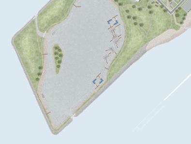
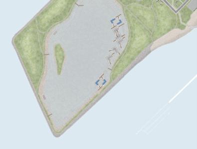
Portola, San Francisco | University Mound
Natural Environments Focus Studio | 2017
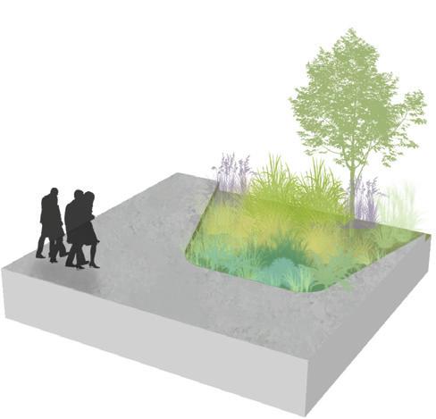
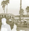
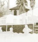
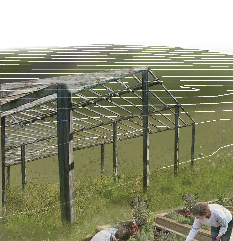
University Mound is a small, fenced off area in Portola, San Francisco. It is known to locals as the Rose Factory, as this spot was once a thriving rose nursery. Now abandoned by the family who once owned it, passers by often admire and think of what once was, and what could be.
It is an area with potential to create a space for the community to be proud of, and has potential for positive environmental impacts on the watershed it sits upon. University Mound is a sought after site, with ideas of breweries and housing coming from developers. Locals worry about loss of history and character to their neighborhood. Locally Grown seeks to revive the site while maintaining its unique and vibrant roots, with a new community green space and opportunities for local economic growth.
| 25 |
| 26 |
With revived nurseries, community gardens and opportunities for local vendors to take part, the concept of having things locally grown comes to life. The local watershed is utilized for collection throughout the site; with detention ponds addressing flooding.


| 27 |
detention ponds
community gardens
retail area
greenhouses
terraced steps

| 28 |
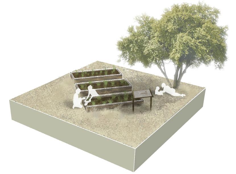
Planting + Design | Seattle, WA
Advanced Planting Design | 2022
Utilizing AutoCAD and LandFX, projects for residential and urban spaces were the focus of this course. I gained a greater awareness of tools and resources for assessing plant availability, increased knowledge of contemporary issues in urban horticulture, and a greater understanding of different planting styles and typologies.
Modeling + Design | Seattle, WA Foundamentals of BIM | 2023
Course allowed students to learn the fundamentals of working in Revit by developing a project, using both 3D parametric modeling and the 2D documentation skills essential to communicating ideas effectively in professional practice. The main project in this course was the design and documentation of a fire station.
| 29 |
drafting
bim
+
6" 3" 10" 11"
4" CLEAR
6" MIN
3" SLAB ON GRADE
3" ON GRADE
1" NOSING REBAR
| 30 |
24" O.C. AT SLAB ON GRADE
PLANT SCHEDULE
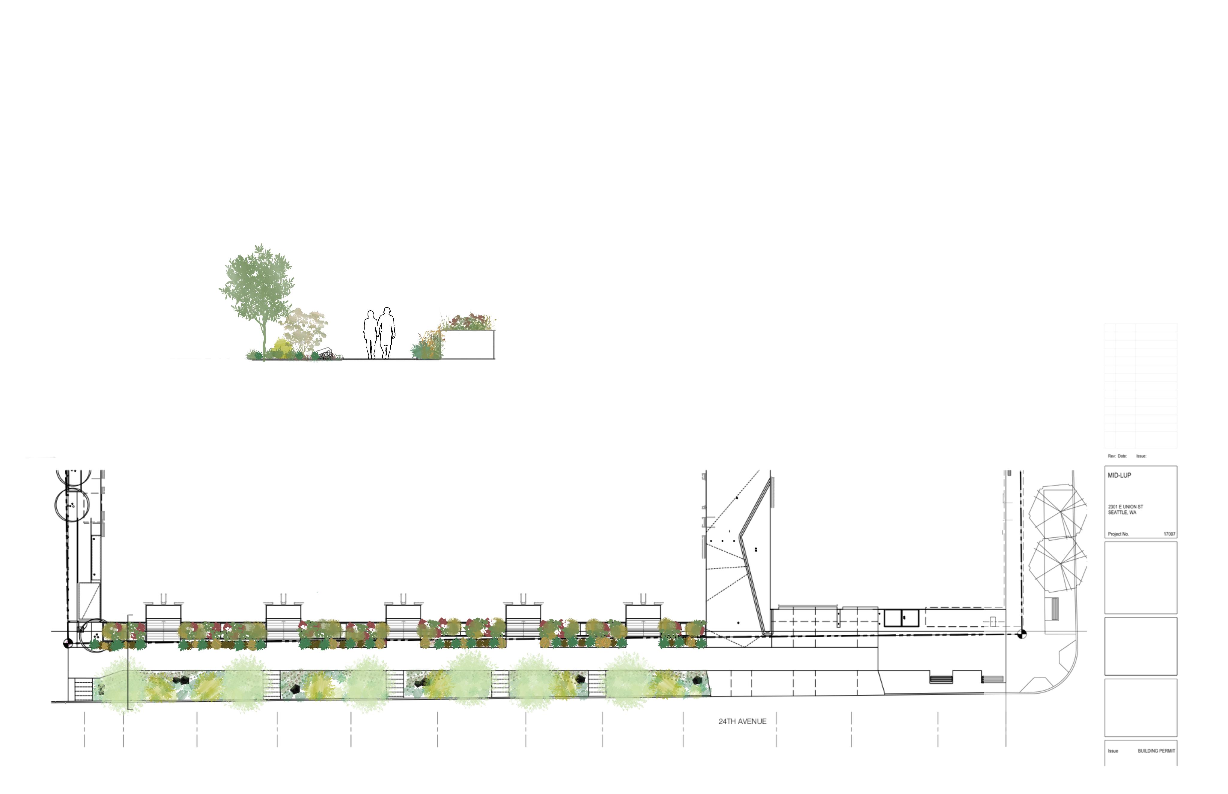
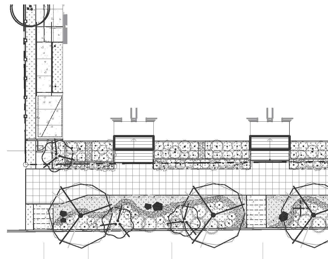
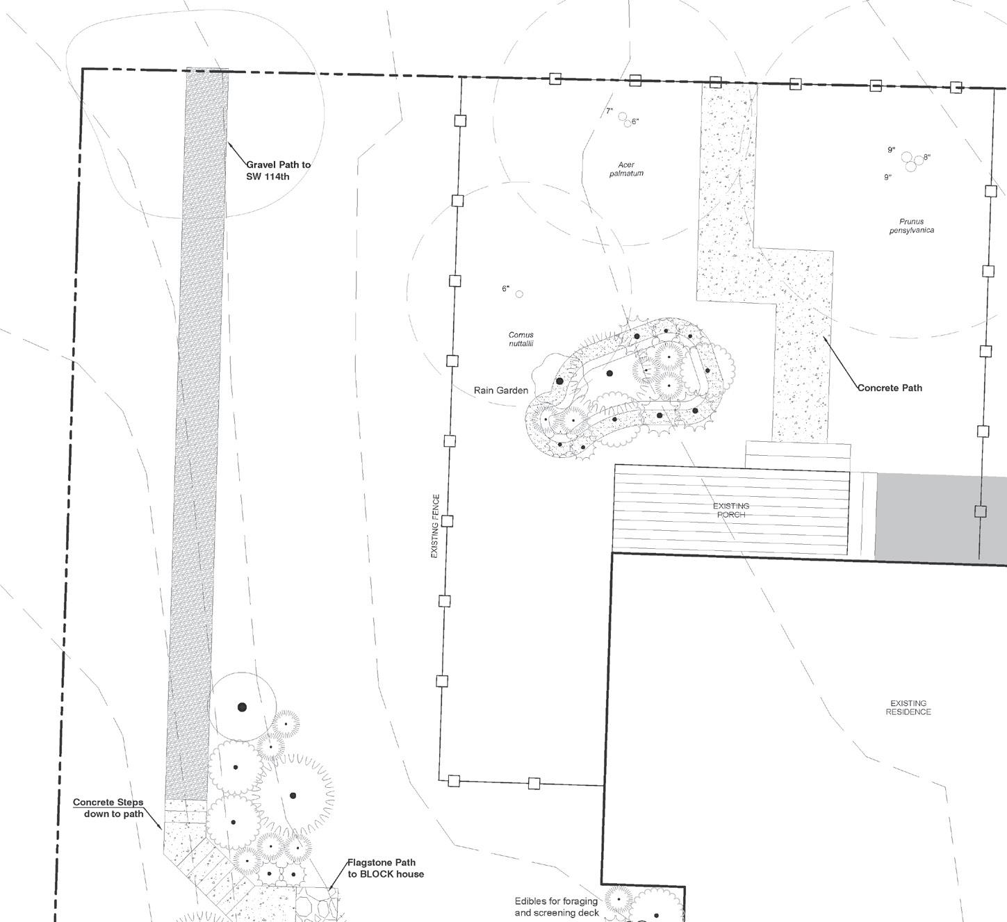
Native Streetscape | Seattle, WA
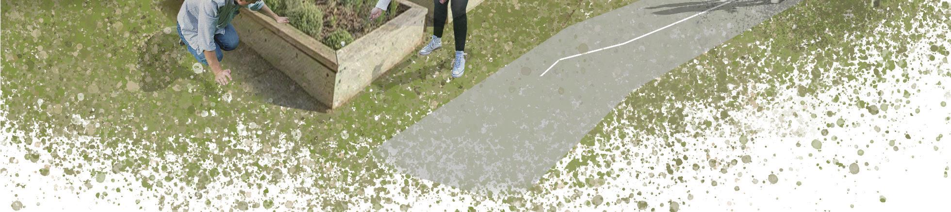
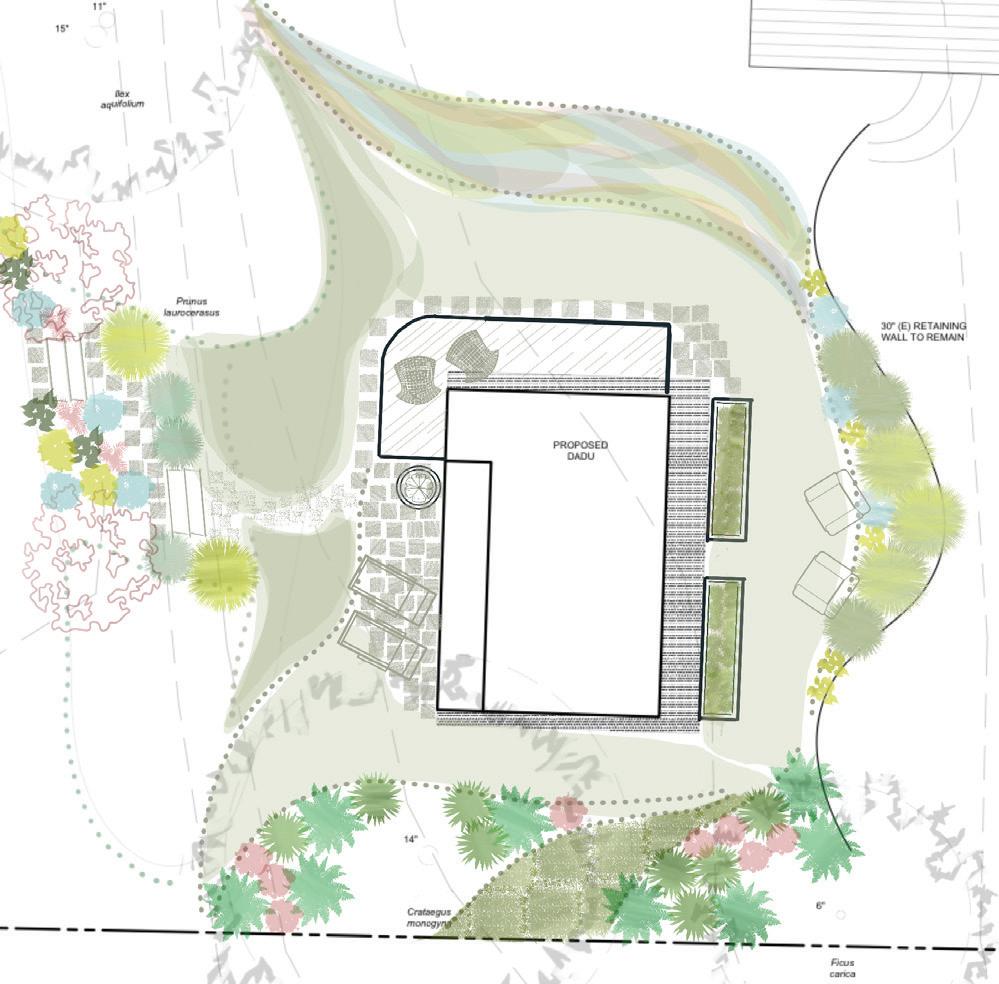
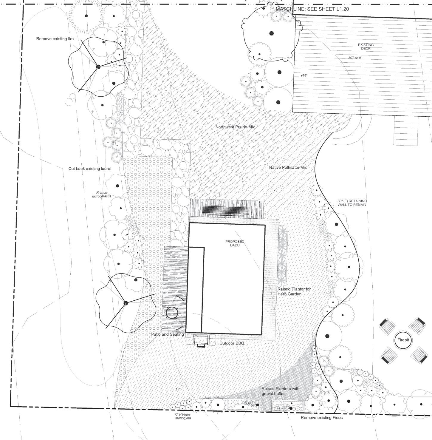
This streetscape focuses on Pacific Northwest natives. All aspects of the design, the biorentention planters, the sidewalk planting, and street facing planting will consist of natives. Facing residential and being in a mostly shaded area, natives that are shade tolerant are being considered. Also considering area and the creatures that we should anticipate also using the space I have included a gravel buffer for the street facing and what I have seen to be urine resistant plants on the sidewalk strip. Being from, and studying in Southern California, I wanted to explore more planting options that I am not so accustomed to.
| 31 |
PROCESS CONCEPT AND PALETTE
| 32 |
BLOCK House | Burien, Seattle, WA
Creating a feeling of privacy and ownership.
The design cuts through some of the existing Prunus laurocerasus to create a private entrance that is colorful and wild, leading in to a patio space with loungers and container plants.
The south end of the residence includes a variety of shade tolerant northwest natives.

The deck wraps around the north side of the residence to give space for enjoying the morning sun. The deck looks out onto seeded meadow mix, giving seasonal variety and interest year-round.
Raised planters sit along the east side of the residence, where there is a small space to relax, screened by tall grasses and colorful perennials.
| 33 | PROCESS CONCEPT AND PALETTE
PLANT SCHEDULE
| 34 |
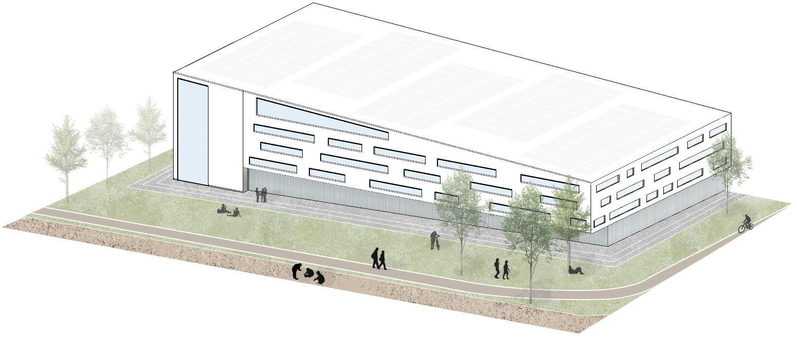
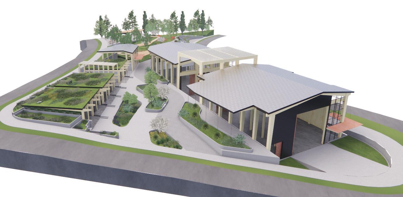
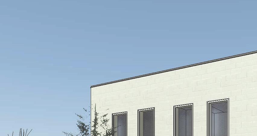
Fire Station | Seattle, WA
This fire station was a collaboration between two architecture and two landscape architecture students. Concept and programming was done as a group. Design was distributed by programmatic spaces, my main focus was the App Bay. I also managed document revisions and set organization.
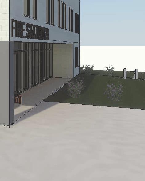
Group Members: Seyyada Burney, Kayla Richmond and Bella Septianti

| 35 |
LEVEL 1 FLOOR PLAN
CURVED WOOD BENCH WITH ARMREST PLAN
CURVED WOOD BENCH PLAN


CURVED WOOD BENCH WITH ARMREST ELEVATIONS
FAMILY - CURVED WOOD BENCH WITH ARMREST
CURVED WOOD BENCH ELEVATIONS
CURVED WOOD BENCH FAMILY
BENCH FAMILY - CURVED WOOD BENCH WITH ARMREST
| 36 | UP UP 1 A-104 2 A-104 78 SF LAN/UTIL C13 172 SF DAY RM C3 2060 SF APP BAY AND SUPPORT AB1 199 SF LOBBY A1 217 SF STATION OFFICE A2 136 SF OFFICER BUNK ADMIN A5 107 SF OFFICER OFFICE A3 107 SF OFFICER ADMIN A4 77 SF OFFICER REST. A6 30 SF JANITOR ADMIN A8 52 SF ADMIN UNISEX REST. A7 A-105 2 25 SF REPORT/DISPATCH AB3 25 SF BATT. CHARGE ALCOVE AB4 21 SF COMPRESSOR AB7 167 SF STAIR 1 CR1 113 SF STAIR 2 CR2 221 SF DECOM/CLEAN RM AB5 121 SF HOSE DRY/STOR AB2 264 SF BUNKER GEAR RM AB8 106 SF MAIN. WORK AREA 108 36 SF JANITOR APP BAY AB12 64 SF APP BAY UNISEX REST AB13 103 SF APP. EQ. STOR. AB10 81 SF EMS STOR AB9 81 SF MAJOR DIS, STOR. AB11 44 SF ELEV. CR3 17' - 6" 19' - 0" 10' - 0" 10' - 0" 11' - 0" 11' - 0" 73'6 5/8" 9'1 7/8" 9'0" 22'6 7/8" 5'3" 137 SF HALL CR4 A B C D E F G H J 1 2 3 4 5 6 8 9' - 6" 7 6' 0" 4' 0" 12' 0" 5'0" 20' - 3" 4' - 6" 8' - 0" 4' - 9" 15' - 6" 13' - 0" 5' - 10" 5' - 10" 4' - 10" 26' - 9 1/8" 9'2" 13'5 1/8" 22'3 5/8" EQ EQ 13'5 1/8" EQ EQ EQ EQ EQ 1 A-107 1 A-108 1 A-109 1 A-110 A-110 2A-111 2Number ADMIN A1 A2 A3 A4 A5 A6 A7 A8 APP BAY AB1 AB2 AB3 AB4 AB5 AB7 AB8 AB9 AB10 AB11 AB12 AB13 108 CIR CR1 CR2 CR3 CR4 CREW C1 C2 C3 C4 C5 C6 C7 C8 C9 C10 C11 C12 C13 C14 SHARED SPACES 106 Grand total:
2'1" 6' - 0" 1'6" 0'9" 2'3"
BENCH
STEEL RODS CHERRY WOOD SLATS 2'1" 6' - 0"
STEEL RODS CHERRY WOOD SLATS 1'6"
CURVED WOOD BENCH FAMILY
R3 ROOF PER A-111.3 ASSEMBLY
BACKER ROD AND SEALANT
TONGUE AND GROVE WOOD DECKING
PLYWOOD SHEATHING
APP BAY ROOF 84' - 0"
WOOD SHIM
ALUMINUM STOREFRONT GLAZING SYSTEM MULLION BEYOND GLULAM BEAM
BOARD FORMED CONCRETE WALL BEYOND
CURTAIN WALL HEADING
CURTAIN WALL HEADING
BOARD FORMED
CONCRETE WALL BEYOND
MULLION BEYOND
ALUMINUM STOREFRONT GLAZING SYSTEM
WOOD SHIM
BACKER ROD AND SEALANT
CONCRETE SLAB ON GRADE
LEVEL 1 68' - 0"
CURTAIN WALL SILL
CURTAIN WALL SILL
CURTAIN WALL SILL
| 37 | A-109 3 A-109 4 13' 6 1/2" 14'5 3/8" 1'6 1/2" 2' 7 7/8" 11'9 1/2" 0'2 1/2" 1' 4" 2'3" R3 W1 CW 1 C1 LEVEL 1 68' - 0" LEVEL 2 78' - 0" APP BAY ROOF 84' - 0" A B W1 CW 1 R3 0'8 3/8" 15' 11 1/4" 1'0" 12' 0" 3'11 1/4" 3/4" = 1'-0" 1 APP BAY CURTAIN WALL SECTION 3/4" = 1'-0" 2 APP BAY EAST ELEVATION 3 APP BAY CURTAIN WALL SECTION APP BAY EAST ELEVATION A-109 3 A-109 4 13' 6 1/2" 14'5 3/8" 1'6 1/2" 2' 7 7/8" 11'9 1/2" 0'2 1/2" 1' 4" 2'3" R3 W1 CW 1 C1 LEVEL 1 68' - 0" LEVEL 2 78' - 0" APP BAY ROOF 84' - 0" A B W1 CW 1 R3 0'8 3/8" 15' 11 1/4" 1'0" 12' 0" 3'11 1/4" C1 - APP BAY CEILING F4 - CONCRETE SLAB W1 - CAST IN PLACE 3/4" = 1'-0" 1 APP BAY CURTAIN WALL SECTION 3/4" = 1'-0" 2 APP BAY EAST ELEVATION 1 1/2" = 1'-0" 3 CURTAIN DD - ASSEMBLIES APP BAY ROOF 84' - 0" BACKER ROD AND SEALANT WOOD SHIM ALUMINUM STOREFRONT GLAZING
MULLION
GLULAM
CONCRETE
SYSTEM
BEYOND
BEAM PLYWOOD SHEATHING TONGUE AND GROVE WOOD DECKING R3 ROOF PER A-111.3 ASSEMBLY BOARD FORMED
WALL BEYOND LEVEL 1 68' - 0"
BACKER ROD AND SEALANT WOOD SHIM
GLAZING
ALUMINUM STOREFRONT
SYSTEM
1 1/2" = 1'-0" 3
1 1/2" = 1'-0" 4
CONCRETE SLAB ON GRADE MULLION BEYOND BOARD FORMED CONCRETE WALL BEYOND
CURTAIN WALL HEADING
2 0" ROOF 0"
1 1/2" = 1'-0" 3
1/2" = 1'-0" 4
1
| 38 | LEVEL 1 68' - 0" 1 A-104 LEVEL 2 78' - 0" ROOF PLAN 90' - 0" APP BAY ROOF 84' - 0" 199 SF LOBBY A1 217 SF STATION OFFICE A2 78 SF LAN/UTIL C13 214 SF DINING (BEANERY) C2 491 SF HALL 106 1 2 3 4 5 6 8 7 107 SF OFFICER OFFICE A3 107 SF OFFICER ADMIN A4 136 SF OFFICER BUNK ADMIN A5 316 SF PHYSICAL TRAIN C4 167 SF STAIR 1 CR1 10' 0" 12' 0" 24' 0 1/8" LEVEL 1 68' - 0" LEVEL 2 78' - 0" ROOF PLAN 90' - 0" 2 A-104 APP BAY ROOF 84' - 0" A B C D E F G H J 199 SF LOBBY A1 2060 SF APP BAY AND SUPPORT AB1 316 SF PHYSICAL TRAIN C4 491 SF HALL 106 1 A-109 1 A-110 24' 0 1/8" 6' 0" 6' 0" 10' 0" 1/8" = 1'-0" 2 SOUTH SECTION 1/8" = 1'-0" 1 WEST SECTION 0' 4' 8' 16' 0' 4' 8' 16' WEST SECTION
INTERIOR LEVEL 1 68' - 0" LEVEL 2 78' - 0" ROOF PLAN 90' - 0" 2 A-104 APP BAY ROOF 84' - 0" 24' 0 1/8" A B C D E F G H J 1 A-109 A-109 2 1 A-11012'0" 10' 0" LEVEL 1 68' - 0" LEVEL 2 78' - 0" ROOF PLAN 90' - 0" APP BAY ROOF 84' - 0" A B C D E F G H J 24'0 1/8" 6' 0" 16'0" 1/8" = 1'-0" 1 EAST ELEVATION 1/8" = 1'-0" 2 WEST ELEVATION EAST ELEVATION STATION + APP BAY EXTERIOR LEVEL 1 68' - 0" LEVEL 2 78' - 0" ROOF PLAN 90' - 0" 2 A-104 APP BAY ROOF 84' - 0" 24' 0 1/8" A B C D E F G H J 1 A-109 A-109 2 1 A-11012' 0" 10' 0" LEVEL 1 68' - 0" LEVEL 2 78' - 0" ROOF PLAN 90' - 0" APP BAY ROOF 84' - 0" A B C D E F G H J 24'0 1/8" 6' 0" 16'0" 1/8" = 1'-0" 1 EAST ELEVATION 1/8" = 1'-0" 2 WEST ELEVATION WEST ELEVATION STATION + APP BAY EXTERIOR LEVEL 1 68' - 0" 1 A-104 LEVEL 2 78' - 0" ROOF PLAN 90' - 0"APP BAY ROOF 84' - 0" 1 2 3 4 5 6 8 7 1 A-107 A-107 2 1 A-108 A-108 2 10' 0" 6' 0" 6'0" 24' 0 1/8" LEVEL 1 68' - 0" 1 A-104 LEVEL 2 78' - 0" ROOF PLAN 90' - 0" APP BAY ROOF 84' - 0" 1 2 3 4 5 6 8 7 1 A-107 1 A-108 24' 0 1/8" 12' 0" 10'0" Date Drawn Checked Project 1/8" = 1'-0" 1 NORTH ELEVATION 1/8" = 1'-0" 2 SOUTH ELEVATION SOUTH ELEVATION APP BAY EXTERIOR
APP BAY
| 39 |
SELECTED WORKS
design internships
public art competition
sustainability initiatives
design guidance
media exploration
| 40 |
design internships
Port of Seattle | Seattle, WA
Architectural Design Internship | 2022
Summer and Fall of 2022 with the Architecture Team at SEA-TAC. The team acquired a variety of projects that required landscape consultants. I worked closely with our consultants to update the Port’s Landscape Standards. I also worked with the Port’s Environmental Team to review and update the existing Plant List.

Design work included conceptual floor and material plans for a meeter-greeter space remodel, and planting of a pet relief area.
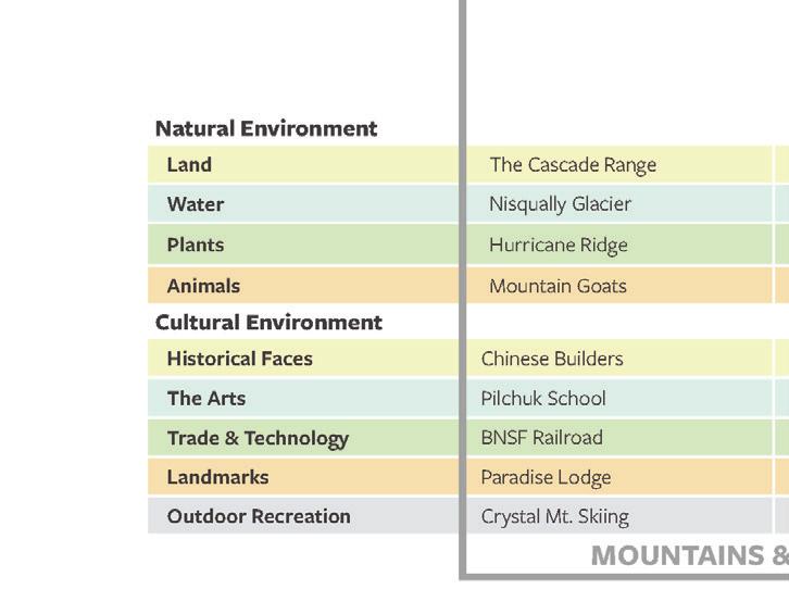
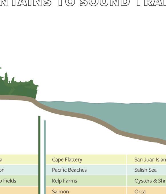
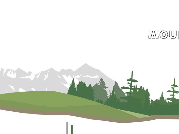
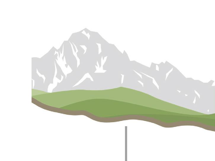
LANDSCAPE STANDARDS THEMATIC CONCEPT + MOUNTAIN TO SOUND TRANSECT


| 41 |
MEETER GREETER UPGRADES TERRAZZO DESIGNS
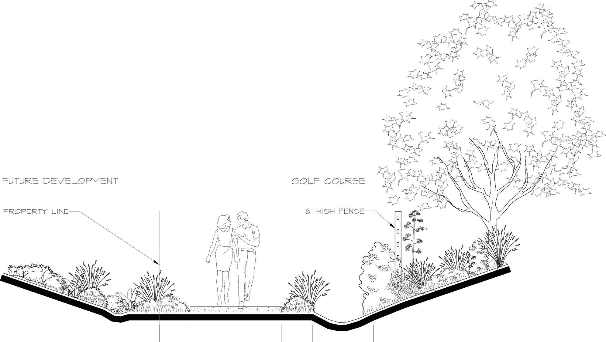
BrightView Design Group | Irvine, CA Design Internship | 2017
Summer of 2017 was spent working on a large variety of projects in Southern California. The teams I worked with had focus areas of housing development and large scale public space. I helped with conceptual design phases and assisted their planting design specialist on a large housing community project, Skyline in Santa Clarita. I also contributed drawings and details for a golf course, and the design for a dog park and the conceptual phases for a portion of the Orange County Great Park.
| 42 |
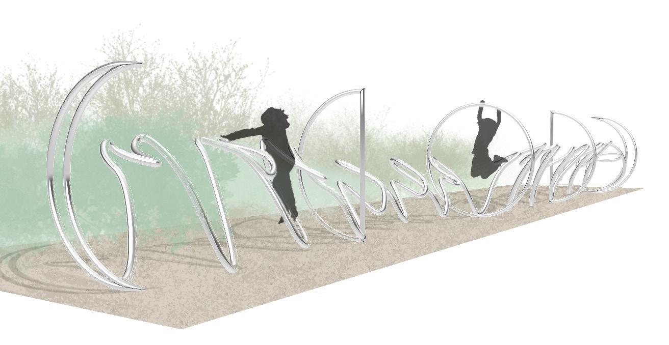
public art competition
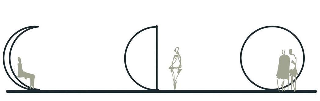
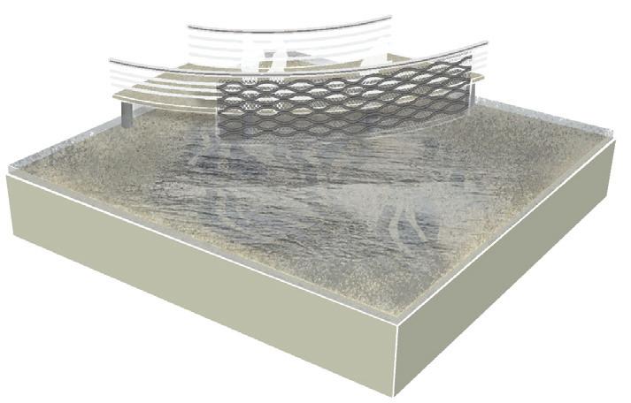
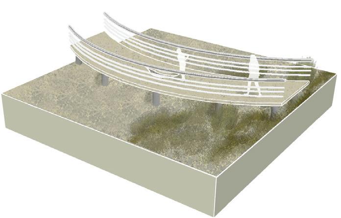
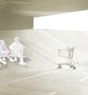
Moonwalk | Bellingham, WA
Paper Whale Waterfront Proposal | 2022
Within the (Re)working Waterfront site, this public art submission was inspired by our Scandinavian travels and experiences. Moonwalk is an interactive play structure and public art piece, focusing on the relationship between the tides and the moon. Its sculptural design provides both visual interest while bringing movement and enjoyment to the waterfront. The design plays into a whimsical connection to natural systems, reminding us of the interconnected nature of local systems to planetary systems.
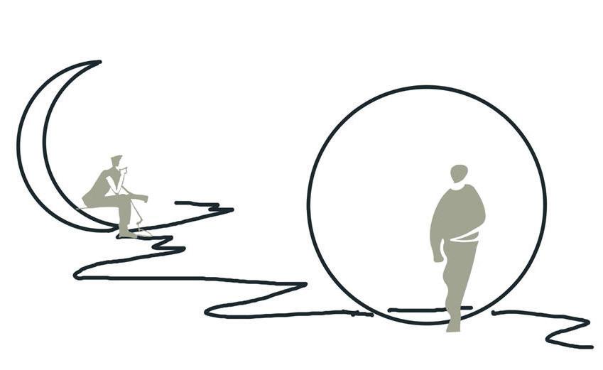
Moonwalk is Paper Whale selected finalist, and has been submitted to the Port of Bellingham for consideration.
B A
SECTION A ‘TIDES’
PLAN
SECTION B ‘MOONS’
PROCESS
| 43 |
sustainability initiatives


Zero Waste Kit | San Luis Obispo, CA
Environmental Design | 2019

Designed for a sustainable principles class, the intent of the project was to promote sustainable ideas and practices into our local community. My idea was to create a zero waste kit that could be personalized and very inexpensive. My group presented our ideas to a panel of stakeholders to potentially get this kit in the hands of Cal Poly students.
We proposed to sell a jar with a 3D printed utensil, reusable straw, and a “how to” guide for making the following items:
- reusable and packable tote

- reusable produce bag


- reusable napkins


| 44 |
design guidance


Environmental Design | San Luis Obispos, CA Instructional Student Assistant | 2018 - 2019
As an instructional student assistant I lead the activity section for an Introduction to Environmental Design class. The following projects are some of the activities I instructed my students in.
Digital Design | Seattle, WA Teaching Assistant | 2023

As a teaching assistant I led lectures and lab sessions, through demos of various digital design programs: Adobe Creative Suite and SketchUp. The following are examples of demo projects I instructed my students in.

| 45 |
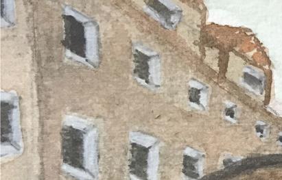
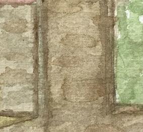
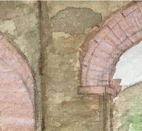
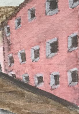
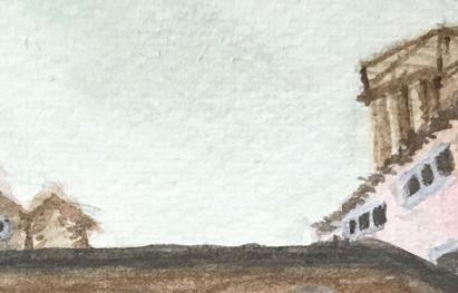
media exploration
Santa Chiara Study Center
Castiglion Fiorentino, Italy | 2017
Exploring the textural possibilities of watercolor, shown through moments captured in Italy.
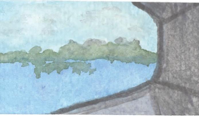
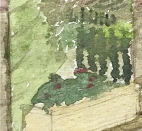
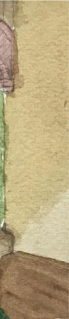
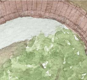
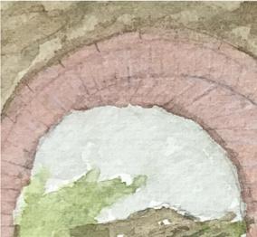
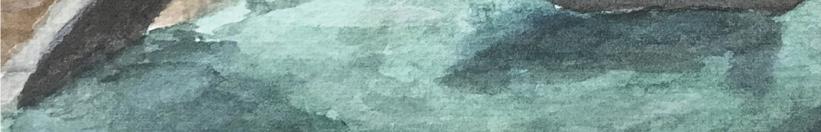
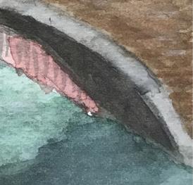
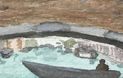
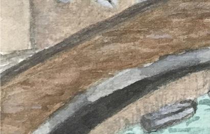
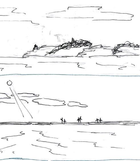
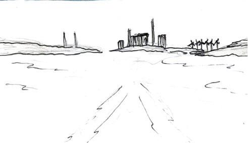
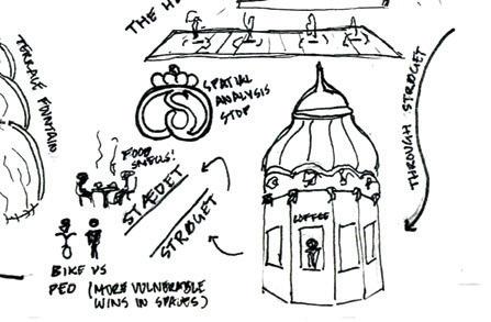
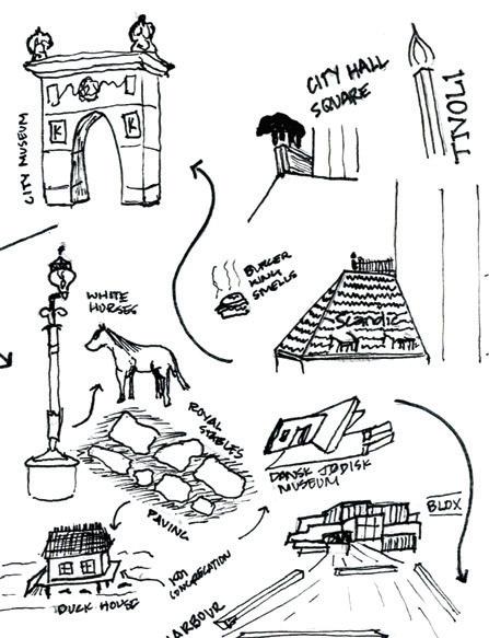
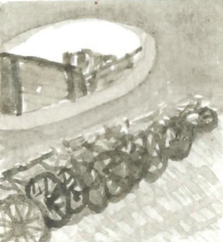
Scan|Design Foundation Tour Copenhagen, Denmark | 2022

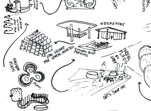
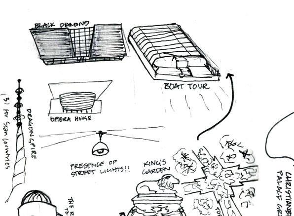
Sketches and watercolors look at spaces of intrigue and investigation in Sweden and Denmark.

| 46 |
Dominique De Gracia domdegra@uw.edu 206.595.1654