TRAILS AND GREENWAYS HEALTH AND SAFETY ON PARKS AND TRAILS All park and trail users are required to comply with local and state restrictions including mass gathering size. As you recreate in Durham’s parks and trails, model social distancing by maintaining a safe distance (at least 6 feet) between you and other users. If you are unable to stay at least six feet away from others outside of your household please be sure to wear your mask or face covering. We have assigned off duty officers to monitor our parks, and we also ask that residents call the Police Non-emergency line at 919-560-4600 to report any violations of the Safer-at-Home Order or unsafe behavior.
NORTH/SOUTH GREENWAY Warren Creek Trail This trail follows Warren Creek from Whippoorwill Park to Horton Road.
Length: Surface: Begins: Ends: Restrooms:
0.75 miles Paved, 10 feet wide Horton Road Whippoorwill Park Whippoorwill Park
West Club Blvd Trail This trail is a 10-foot wide sidewalk trail which crosses W. Club Blvd at the corner of W. Club and Glendale Avenue. This trail follows W. Club Boulevard. Length: 0.3 miles Surface: Paved sidewalk, 10 feet wide Begins: Northgate Park (Parking) Ends: Washington Street Restrooms: Northgate Park
South Ellerbee Creek Trail
Stadium Drive Trail This trail follows the south side of Stadium Drive along 10-foot wide sidewalks. It switches to the north side at Broad Street and then back to the south side at Kirkwood. This trail is primarily a sidewalk trail. Length: 1.9 miles Surface: Paved sidewalks, 10 feet wide Begins: northern terminus of the Ellerbee Creek Trail Ends: Whippoorwill Park Restrooms: Whippoorwill Park, Rock Quarry Park, The Museum of Life and Science
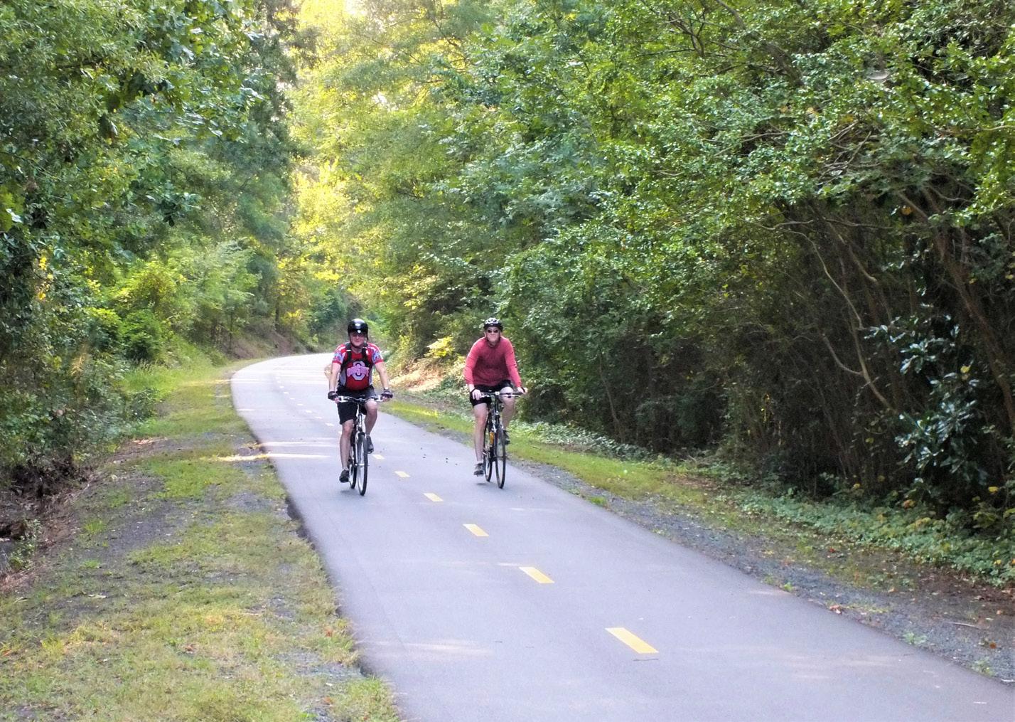
Ellerbee Creek Trail This trail is one of the oldest trails in the Durham Trails and Greenways System. As a part of the North/South Greenway, it runs through the center of Durham, providing excellent recreational opportunities as well as good bike and pedestrian access to downtown Durham. The majority of this trail is paved, separated from the road. Length: 1.2 miles Surface: Paved trail, 10 feet wide Begins: Stadium Drive Ends: Club Blvd (Parking at Northgate Park) Restrooms: Rock Quarry Park, Northgate Park
This trail is one of the oldest trails in the Durham Trails and Greenways System. As a part of the North/South Greenway, it runs through the center of Durham, providing excellent recreational opportunities as well as good bike and pedestrian access to downtown Durham. Length: 1.4 miles Surface: Paved, 10 feet wide Begins: West Trinity Avenue Ends: West Club Blvd. Restrooms: Northgate Park
Duke Park Trail This trail follows Brookline Street, which is closed to traffic. It connects Duke Park with the North/South Greenway at Washington Street. Length: 0.3 miles Surface: Paved roadway Begins: Washington Street Ends: Duke Park at Acadia Street (Parking) Restrooms: Duke Park
Downtown Trail This trail runs through the middle of downtown Durham. Green bricks along the side of the sidewalk mark the trail, but there is also good road signage. While bicycles are allowed on these wider sidewalks, please ride slowly and yield to pedestrians. Length: .9 miles Surface: Paved sidewalks, 10 feet wide Begins: West Trinity Ave Ends: Jackie Robinson Drive adjacent to the Durham Bulls Athletic Park and the American Tobacco Campus Restrooms: Restrooms at the Durham Farmer's Market
West Ellerbee Creek Trail This trail follows West Ellerbee Creek, which has recently been restored. The Ellerbee Creek Watershed Association has landscaped the trail with native plants. Length: 2.25 miles Surface: Paved surface, 10 feet wide Begins: Albany Drive near Indian Trail Park Ends: Stadium Dr. and Broad St. Restrooms: None
Third Fork Creek Trail This trail follows Third Fork Creek. Keep an eye out for mud and water, which can sometimes be found on this trail during high water periods. Length: 3.6 miles Surface: Paved off-road trail, 10 feet wide Begins: Southern Boundaries Park Ends: Garrett Road Park Restrooms: Southern Boundaries Park, Garrett Road Park
DURHAM BIKE AND HIKE MAP Check out the Durham Bike & Hike Map now available online! durhamnc.gov/1031/Durham-Bike-Hike-Map
Printed copies are available at the Durham Parks and Recreation Administration Office
We support Inclusion - Persons of all ability levels are welcome at every facility and every program. CR: City Resident; NCR: Non-City Resident
13


