GIM International Trail
Guiding you through INTERGEO’s essentials


As Intergeo 2024 approaches, the excitement is palpable – not just for the opportunity to connect with innovative geomatics professionals, but also to immerse ourselves in a global crossroads of knowledge that promises to expand horizons and spark fresh ideas. The discipline of geomatics and all that it encompasses plays a crucial role in so many aspects of our daily lives, often without us being aware of it. From smart cities and climate monitoring to infrastructure and spatial planning, the impact is felt everywhere. Even so, I notice that too few people, including policymakers, realize what the geospatial industry can do.
Intergeo, the leading event for geodesy, geo-information and land management, brings together experts and visionaries from all over the world. With no fewer than 600 international brands, leading companies, associations and start-ups, Intergeo confirms its position as the most relevant event for the global geospatial sector. The event stands out for its huge variety of cuttingedge technologies, such as drones, Lidar systems, AI, digital twins and so much more.
As a geospatial industry, we have a unique strength: deep and diverse knowledge that can have a huge impact on a wide range of societal issues, from climate change and urban growth to sustainability and infrastructure. One of the key objectives we should have as a sector is to bring this strength much more widely to the attention of the outside world. It is crucial that we do not just operate within our own sector, but that we share our knowledge and solutions with policymakers, companies and wider society. By playing an active role in making visible what the geospatial industry has to offer, we can contribute to more effective
decision-making and sustainable solutions at a global scale.
Intergeo is the place where we as professionals come together to share our insights and explore new innovations. It is the space where ideas come together and from which I return home with a suitcase full of inspiration and new knowledge. Our industry has the power to lead the world through the major challenges of this decade, whether it concerns sustainability, mobility or urban growth. And the fact that more and more international exhibitors and visitors are participating, including new companies (there are so many great start-ups around, also this year in Stuttgart), emphasizes the growing importance of this sector at a global level!
As a media company and publisher –because that is what Geomares is – we try to do our bit. We do this with GIM International and its sister in underwater mapping and surveying, Hydro International, and of course also with our product comparison website for professionals in our field: Geo-matching.com. And also with this publication, the Trail, to give you some guidance at the big trade show that Intergeo is with all those hundreds of stands.
I wish you a successful, atmospheric and motivating Intergeo 2024! Enjoy it, soak up the knowledge: it will help you move forward!
Wim van Wegen, head of content wim.van.wegen@geomares.nl


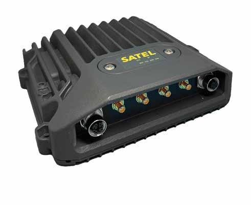
The need for seamless and multifunctional connectivity for off-highway machinery is growing. SATEL MCCU-30 is a robust multi-band vehicle router solution, specially designed for machine control and off-highway vehicle applications in harsh environments.

• LTE, Wi-Fi, UHF, BT – all within a single unit and all can be used simultaneously
• Based on field proven mechanics for reliable performance
• IP67 / IP69K classified casing
• Withstands vibration, shock, and extreme temperatures
• Connections with surge and ESD (Electrostatic Discharge) protection Read more: satel.com











By Wim van Wegen, head of content, GIM International & Hydro International
As Intergeo marks 150 years since its inception – if we also count its predecessors – Prof Rudolf Staiger offers a compelling look at the evolution of geospatial technology and the event’s pivotal role in driving innovation. From its origins as the ‘German Geodesists’ Day’ to becoming a global platform, Intergeo has mirrored the industry’s transformation. Staiger reflects on key advancements, including the shift to digital systems, the rise of drones and the integration of AI. He also discusses how Intergeo has expanded to engage a broader, more international audience and examines the evolving role of surveyors in a world increasingly defined by geoinformation. This interview provides insights into the challenges and opportunities that lie ahead for geospatial professionals, offering a forward-looking perspective on the future of the field.
Intergeo was also held in Stuttgart 20 years ago, in 2004. Looking back over the past two decades, what do you consider the most significant changes in the geospatial industry, and how has Intergeo evolved as an event to address these advancements?
Intergeo was held in Stuttgart for the very first time in 1885. Back then, the event was still called the ‘German Geodesists’ Day’. In 2004, 20 years ago, it was already the fifth repetition and since then we have been to Stuttgart twice more. The 150 years of Intergeo have always been characterized by news and innovations, which were mostly induced by general technical progress (electronics, semiconductors, computers, software, etc.).
In the past, instruments with data storage capabilities were offered. The digital data flow; that is, the further processing of data with additional software to create a specific product, was the central theme at the trade fair. The equipment was designed for the customer to use the system in their own environment. In contrast, today we are talking about complex and integrated systems that include among other components data acquisition. The required
software is either provided via a cloud solution (SaaS = Software as a Service) or classically as a product designed for the own IT infrastructure of the user (SaaP = Software as a Product). Whereas in the past there was more discussion about technical details, such as the compatibility of data with a certain standard, today users and providers tend to discuss the systemic advantages and disadvantages of the different approaches.
Is there something that gives Intergeo that special Geheimtipp quality, as the Germans would say – an ‘insider’s secret’ that many might not yet be aware of?
Haha, that’s a good question. There aren’t many German words that have found their way into the English language. However, one of them is ‘Gemütlichkeit’. Maybe that’s it?
I don’t mean Gemütlichkeit in the sense of a German pub with Lederhosen, beer and pork knuckle, but in the sense of arriving in a friendly and comfortable place where you can meet interesting people and technologies and have a fruitful exchange in a pleasant atmosphere. There is another phenomenon that maybe explains the success of Intergeo: the organizer DVW (the German Association for Geodesy, Geoinformation and Land Management) never planned for this event
to become so big – it has simply grown organically over the years.
How can events such as Intergeo not only inspire innovation but also challenge the geospatial community to rethink traditional approaches and embrace new paradigms?
The geospatial community has always been innovative and on the lookout for new developments. For example, the digitization of the measurement and evaluation process was already a matter of course in the early 1980s, while this only began decades later in the neighbouring disciplines of civil engineering and architecture. Rethinking traditional approaches is part of every technological innovation. For example, digital photogrammetry with drones is methodologically and fundamentally no different from early aerial photogrammetry from captive balloons or airplanes.
In recent years and decades, have you observed any shifts in the type of audience that Intergeo attracts?
Decades ago, Intergeo was an event where mainly German was spoken. This was also reflected in the signposts, the advertising and the design of the stands. Meanwhile,
Intergeo has not only grown but has become much more international. It is therefore not surprising that English is the most widely spoken language. Today, Intergeo is by far the largest geospatial event in Europe and, if you exclude the large manufacturer conferences in the US (Esri, Hexagon and Trimble), it is the largest manufacturerindependent geospatial trade fair and conference in the world. In the past, it was the surveying industry that met at Intergeo. With the huge progress and strong growth of geoinformation as a business, the circle of visitors also broadened. Today, engineers from all kinds of disciplines meet there.
Since launching into the spotlight at Intergeo in the early 2010s, how have drones evolved, and what new potentials have they unlocked?
The early days of unmanned aerial vehicles saw them as fun toys, but they weren’t really taken seriously. This has fundamentally changed. Foremost, from the surveyor’s point of view, a UAV on its own is no different from a flying tripod. Only through the combination of UAV + digital camera (or laser scanner) + GNSS + evaluation software does it become an efficient and cost-effective surveying or data acquisition unit that previous generations could only dream of. An important task of Intergeo is to convey to users that the camera, navigation and analysis software are just as important components as the carrying platform. The deployment and use of drones is perceived as attractive and sexy, especially by the younger generations, which is why drones are often seen as positive applications for recruiting young talent. Today, drones are being promoted for a variety of applications. The most important areas are logistics, security and environmental protection. It is interesting to note that surveying and geospatial applications represent the largest single application group, at approximately 23%.
How has the rise of location-based data as a public utility reshaped the traditional roles of surveyors, and how was this transformation evident at Intergeo? What challenges and opportunities does this shift present for the profession?
The greatest innovations and changes of the last 20 years have clearly been in the field of geoinformation. In contrast to the past,
every year.
geoinformation has now become part of our daily lives. What would a smartphone be without location-based data? This has also changed our job description: in the past, geodesists didn’t receive much attention, and their products were only known to a few professional groups. In addition to the importance of location-based data for everyone, geodata – provided fast and in high resolution – is today the backbone of every political and social decision.
Decades ago, surveyors were mainly entrusted with sovereign tasks and map production. Today, they are also increasingly active as a service provider. Factors such as speed, flexibility and customer orientation are also important for success, and there is perhaps some catching up to do in these areas.
What are the biggest challenges that modern surveyors face when integrating new technologies such as AI and IoT into their workflows?
Implementing IoT (Internet of Things) at an individual level requires a great deal
of technical expertise, especially in data communication and data integration. The geospatial expert has this, but needs time to design and implement his concept. The situation is more differentiated when it comes to AI (artificial intelligence), where there are already many cross-sector solutions such as automatic translation, pattern and face recognition, image interpretation, and so on. This does not yet apply to very specific issues such as volume calculation or object generation from laser point clouds, to name just two. Start-ups that emerge from research-intensive environments such as universities could provide decisive impetus here.
When considering the role of education and science, how do you think the relationship between universities and the private sector will evolve as technology advances and various fields collaborate to develop new surveying technologies?
The surveying and geospatial sector is relatively small and manageable compared
to other industries. There has always been a friendly and cooperative relationship between academic research on the one hand and industrial research and development on the other. Currently, both sections cooperate very well with each other, if only to alleviate the shortage of skilled workers on both sides. Despite the advancement of automation, specialists are indispensable not only in research but also in practical application.
How can the geospatial community better communicate its value to society, particularly in fostering sustainable development and improving quality of life?
The surveyors of the past were typically civil servants who quietly went about their work. Today, their tasks are not only more varied, but also service and customer oriented. This also includes ‘selling’ their own skills and the value of their products. We still have some catching up to do here. A small example: of the 17 Sustainable Development Goals with 169 targets, more than 80% are directly linked to location-based data. In other words, achieving or measuring all the goals is simply not possible without geospatial expertise. This shows the importance of our profession when it comes to working for a better environment and a fairer society.
As we look to the future of geospatial technology, is there a final thought or piece of advice you’d like to leave with the global geospatial community; something that might inspire the next generation of surveyors and geoinformation professionals?
The current buzzwords that characterize technological progress sound quite

threatening, for example for the preservation of our jobs. Will we still be needed in the future? Is the geospecialist still necessary in times of AI? My answer is clear and positive. The world of work is changing, and the number of staff required is decreasing, but our expertise is still in demand. We should
see things such as AI as an opportunity to make our working environment more positive and productive by automating routine tasks. My motto: AI is an opportunity, not a threat, if we use these technologies in a positive and purposeful way.
About Rudolf Staiger
Professor Rudolf Staiger studied geodesy at the Technische Hochschule Karlsruhe (now Karlsruhe Institute of Technology, KIT) in Germany and the Institut Géographique National (now Institut National de l’Information Géographique et Forestière) in Paris, France. He earned his doctorate at the Geodetic Institute of TH Karlsruhe. His career spans roles as a systems engineer, product manager and software developer in industrial metrology for Kern in Aarau, Switzerland, and Leica, Switzerland. For 28 years, he served as a professor of instrument technology at both the University of Essen and Bochum University of Applied Sciences. He has been highly active within the International Federation of Surveyors (FIG), serving as its president from 2019 to 2022. Since 2023, he has been the president of DVW, the German Association for Geodesy, Geoinformation and Land Management.


Do you have a case study that you would like to share with us? Is your company involved in an extremely interesting project? Are you taking innovative steps in your use of geospatial solutions? Is your organization working on an inspiring approach to attract more youngsters into the industry? Or do you have a strategic vision that deserves to be heard? At GIM International, in line with our slogan of ‘Empowering the geospatial community’, we are always looking for ideas and editorial input about topics that concern our readers!

We have a broad support base of readers both in the business world, at universities, and within government institutions and other organizations. Therefore, in our editorial content, we strive to present a varied mix of themes and perspectives from people who are actively working in land surveying, GIS and related fields.
Needless to say, editorial contributions are published free of charge. However, to maintain the high standard of our editorial content, we enforce certain guidelines. If your company desires a more commercial approach, particularly for marketing purposes (such as highlighting a product launch), there are paid options available to bypass the editorial restrictions.
Over the past 38 years, GIM International has firmly established itself as a leading information platform for the worldwide geospatial community, which creates a tremendous stage for exchanging knowledge – and we are happy to share that stage with you! Please feel free to contact our head of content Wim van Wegen (wim.van.wegen@geomares.nl) to discuss your ideas.

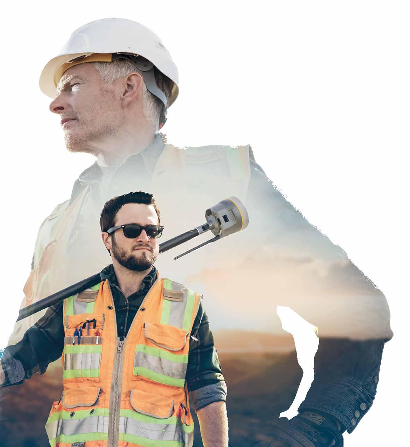


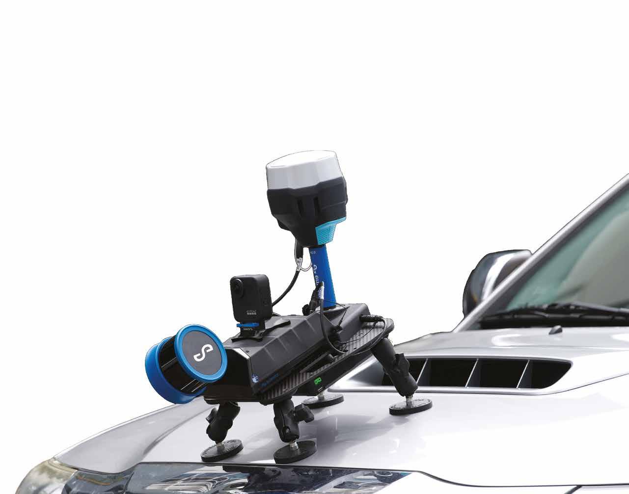
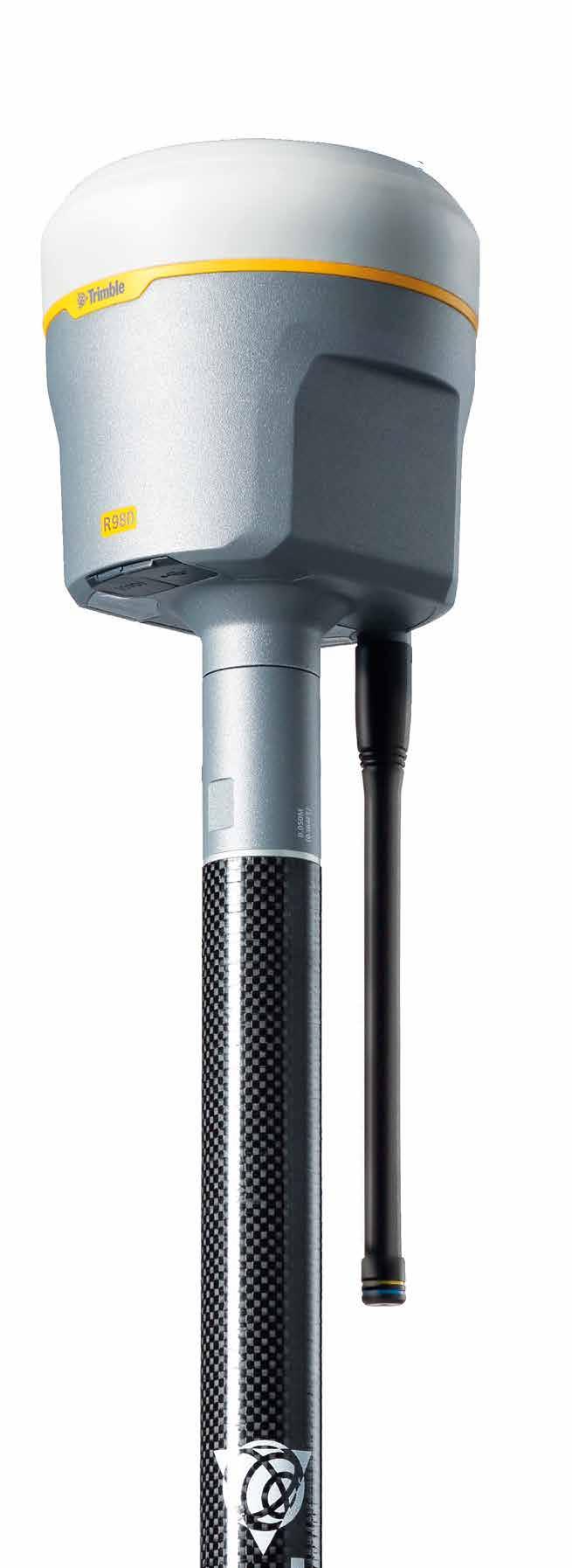
Elevate survey productivity with unmatched performance and Trimble trusted workflows. With a full suite of enhanced connectivity features, the Trimble® R980 GNSS system sets a new benchmark in versatility and enables you to tackle the most demanding GNSS environments to get the job done.
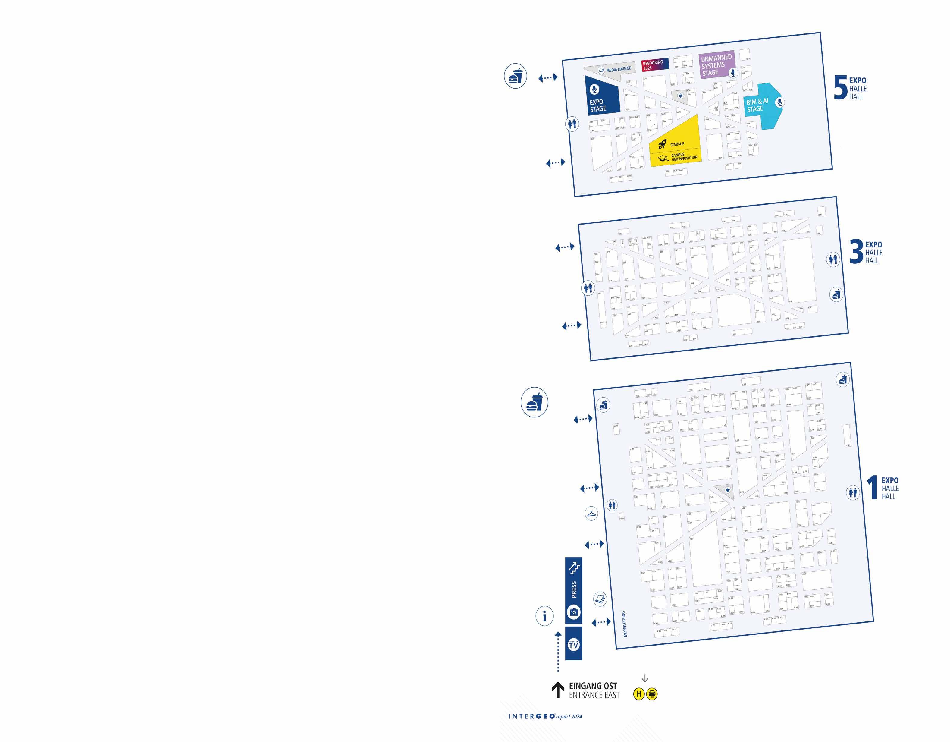
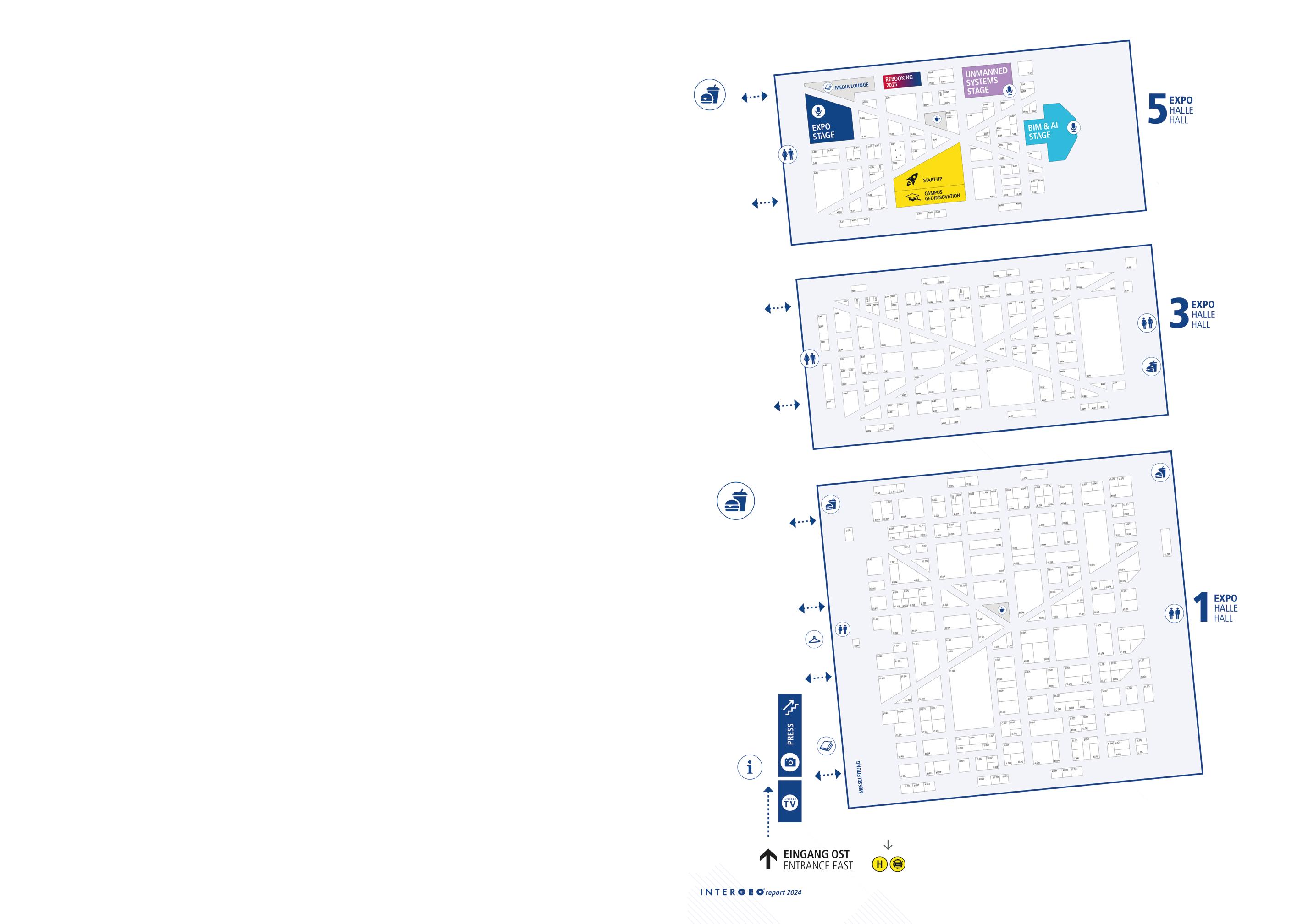
Trimble at INTERGEO 2024, Hall 3, B3.080
Find out more about the Trimble R980 GNSS system during INTERGEO 2024. Visit us to explore the latest advancements in connected and cloud-based solutions that unlock the power of geospatial data.
We look forward to seeing you!
geospatial.trimble.com/r980


The DVW – Gesellschaft für Geodäsie, Geoinformation und Landmanagement (German Association for Geodesy, Geoinformation and Land Management ) – has been the driving force behind the organization of this event, now recognized globally under the brand name Intergeo, since 1995. Prior to this, the event was known as the Deutscher Geodätentag, with origins tracing back to the first General Assembly of the Deutscher Geometerverein in 1872.
From 4–8 August 1925, the first Deutsche Geodätische Woche (German Geodetic Week) took place in Cologne. Topics from the fields of activity of the surveying engineer at the first edition included ‘The Cadastre and its Continuation’, ‘Modern Urban Surveying’, ‘Urban Expansion and Land Policy’ and – with regard to the property taxes assessed by the Prussian Cadastre Administration – ‘The Imperial Valuation Law’.
When the inaugural Intergeo opened its doors at Dortmund’s Westfalenhallen exhibition centre on 23 August 1995, few could have anticipated the remarkable trajectory it would follow. While the geodesists’ conference was already a key fixture within the sector, the trade fair – which at that time hosted just 185 exhibitors – remained relatively modest in scale. Nevertheless, emerging trends such as GPS and navigation systems, fuelled by advances in satellite technologies, played a defining role in shaping that first event.
Since then, Intergeo has evolved significantly, becoming a structured platform that addresses the dynamic needs and advancements in geodesy, geoinformation and land management. Over time, the convergence of the trade fair and conference has facilitated deeper
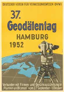
Poster for the 37th Geodätentag, hosted in Hamburg in 1952.
engagement and dialogue within the industry. Notably, discussions now extend beyond product offerings, focusing on comprehensive solutions and process chains that cater to the increasingly integrated nature of geographical technologies. Many sectors now seek holistic, locationbased solutions, reflecting a broadening industry perspective. Intergeo has been instrumental in fostering this exchange, offering a platform where professionals from various industries converge. The event’s growing international scope is reflected in its exhibitor and attendee demographics; while only 15% of exhibitors hailed from abroad in 1995, today more than 40% represent international companies. Visitor numbers have also become more diverse, with approximately 45% of attendees now coming from outside Germany. This internationalization has helped Intergeo to solidify its reputation as the world’s leading trade fair in its field, bringing together industry leaders and innovators from around the globe.
In 2024, Intergeo has firmly established itself as the global hub for geospatial technology, providing a platform for public administrators, scientists, policymakers and business leaders to leverage geo-IT data and solutions. The event remains pivotal for showcasing current trends and technological advancements, underscoring its role as the premier networking forum in the sector. Looking ahead, Intergeo’s legacy continues to expand. Hinte Expo & Conference has managed the trade fair since its inception, but from 2028 the event will transition to Frankfurt under the organization of Mesago Messe Frankfurt. DVW will maintain its role in overseeing the accompanying conference, ensuring its status as a cornerstone of the geospatial community. In the interim, Intergeo 2025 will take place in Frankfurt from 7–9 October, followed by Munich as the host city from 15–17 September 2026, continuing its tradition as the world’s largest and most influential international event in this domain.


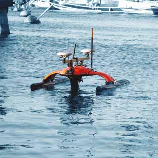
uncrewed surface vehicle


• Autonomous and remotely-controlled operation


• Exchangeable battery packs for 9+ hours of operation


• System software for planning, execution and data evaluation

• High-precision measurements and recordings, different GNSS and sonar options available

• Accurate georeferenced bathymetry and cartography missions, search and survey in hard-to-reach areas
• Data logging and real-time acquisition over redundant mesh network


• Rapid system deployment, excellent maneuverability and area coverage with powerful and efficient drives
• AI-based object recognition for side-scan sonar: objects of interest are detected and highlighted live during the mission




Meet us at INTERGEO 2024!
24 - 26 September Stuttgart, Germany


STAND E1.073


sales@evologics.com

sales-us@evologics.com


Crack the code: GIM International’s Intergeo crossword!
Add a touch of excitement to your Intergeo experience this year by taking part in our fun and educational competition! We’re honouring the host country of the largest global gathering of geospatial professionals with a Germany-themed crossword puzzle. Hand in your completed (and error-free!) entries at the GIM International stand (A1.053) by noon on Thursday 26 September for a chance to win one of three fantastic prizes. Good luck!

Across
Highest mountain of Germany. Main colour of the German football club FC St. Pauli.
Brand name for Deutsche Bahn’s high-speed trains.
11. German word for remote sensing.
14. German word for land surveyor.
15. What is the German word for point cloud?
Down
Germany’s northernmost low mountain range.
German word for butterfly. Island in the North Sea, 60 km off the German mainland.
German rock band famous for ‘Wind of Change’.
River in northeastern and central Germany, 1,094 km long, flowing into the North Sea. German term for sparkling wine.
10. Car brand headquartered in Ingolstadt.
12. Famous German astronomer known for his laws of planetary motion.
13. What bird is on the Lufthansa logo?

Name:
Email:

I’d be happy to receive the weekly GIM International newsletter!


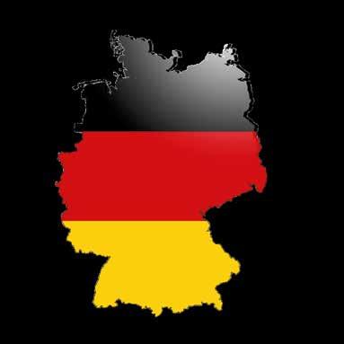


Crack the code: GIM International’s Intergeo crossword! Puzzle your way through Germany! See page 19
Submit your completed and error-free entries at the GIM International stand (A1.053) by Thursday, 26 September, at 12:00 PM for a chance to win one of three fantastic prizes


DEEPMATRIX PRIVATE LIMITED
DEEPMOO PTE. LTD
DELTAIOT B.V.
DELTAQUAD VTOL UAVS
DEUTSCHE GESELLSCHAFT FÜR KARTOGRAPHIE E. V. (DGFK)
DEUTSCHE HYDROGRAPHISCHE GESELLSCHAFT E.V. (DHYG)
DEUTSCHE INFRASOFT GMBH
DEUTSCHE TELEKOM BUSINESS SOLUTIONS GMBH
DEUTSCHER CHRISTLICHER TECHNIKER-BUND E.V.
DEUTSCHER DACHVERBAND FÜR GEOINFORMATION E.V. (DDGI)
DEUTSCHER MARKSCHEIDER-VEREIN E.V.
DEUTSCHES ZENTRUM FÜR LUFT- UND RAUMFAHRT E.V. (DLR)
DEZ NOVIN SANAT
DIAMOND AIRCRAFT INDUSTRIES GMBH
DVW E.V. – GESELLSCHAFT FÜR GEODÄSIE, GEOINFORMATION UND LANDMANAGEMENT
ELYA TEKNOLOJI SANAYI VE TIC A.S.
HAPPY
HASSO-PLATTNER-INSTITUT
MIRAIKIKAI,
Systems Global Market Research Study", ARC Advisory Group, 2022)
SuperMap is a platform and application software manufacturer focusing on GIS and Geospatial Intelligence (GI). With years of experience in empowering informatization of government and enterprises, SuperMap provides cutting-edge solutions for you to navigate the future.
OurExpertTeam
3,500+ Employees

3,000+ ISV, 100,000+ Developers


OurTechnologicalProwess
Cloud-Edge-Terminal Full Product Chain 3D Capabilities Provided in All Products

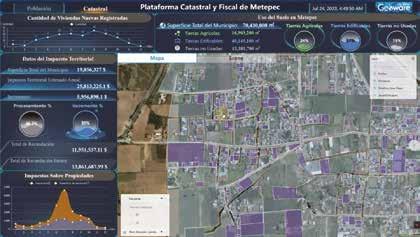

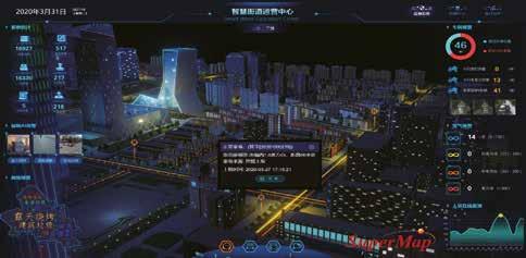


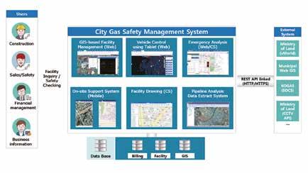




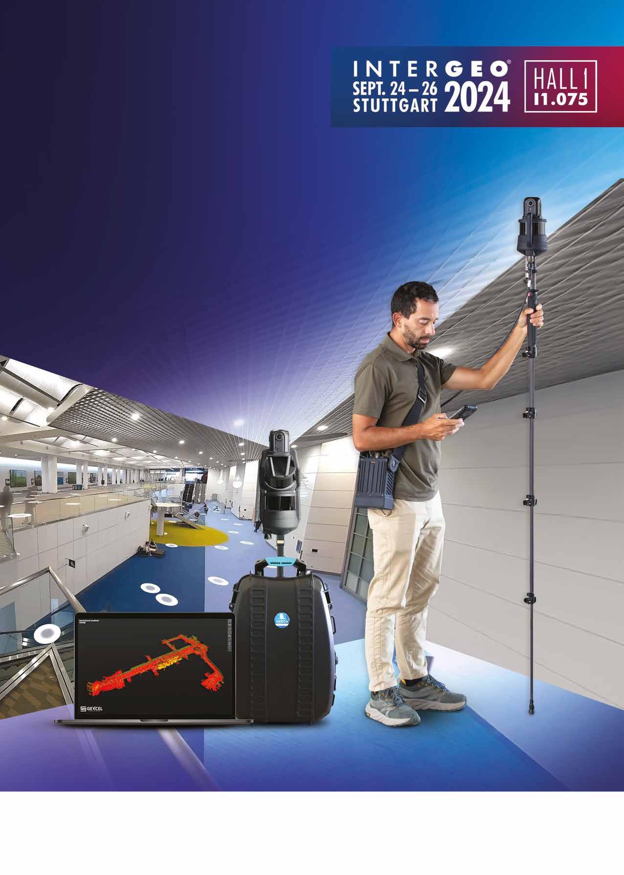
Professional SLAM System
Exceptional Photo Quality
Remarkable Accuracy
Unmatched Flexibility