1 minute read
week 2 Route structure and neighbourhood structure / land use
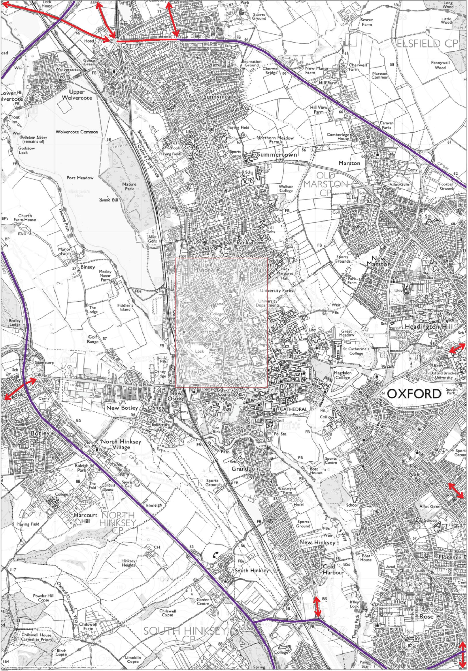
identify the route structure Of oxford wider plan

Advertisement
Throughout the team discussion, observations and conclusions were properly developed and grouped according to the map with an extensive contextualised map of Oxford.
The site is linked by a primary arterial road from the A4144 Southern Bypass to the A40 motorway to the north.
However, the site can be conclude that the collective thought that the location is accessible via tangential path was brought up in the conversation.

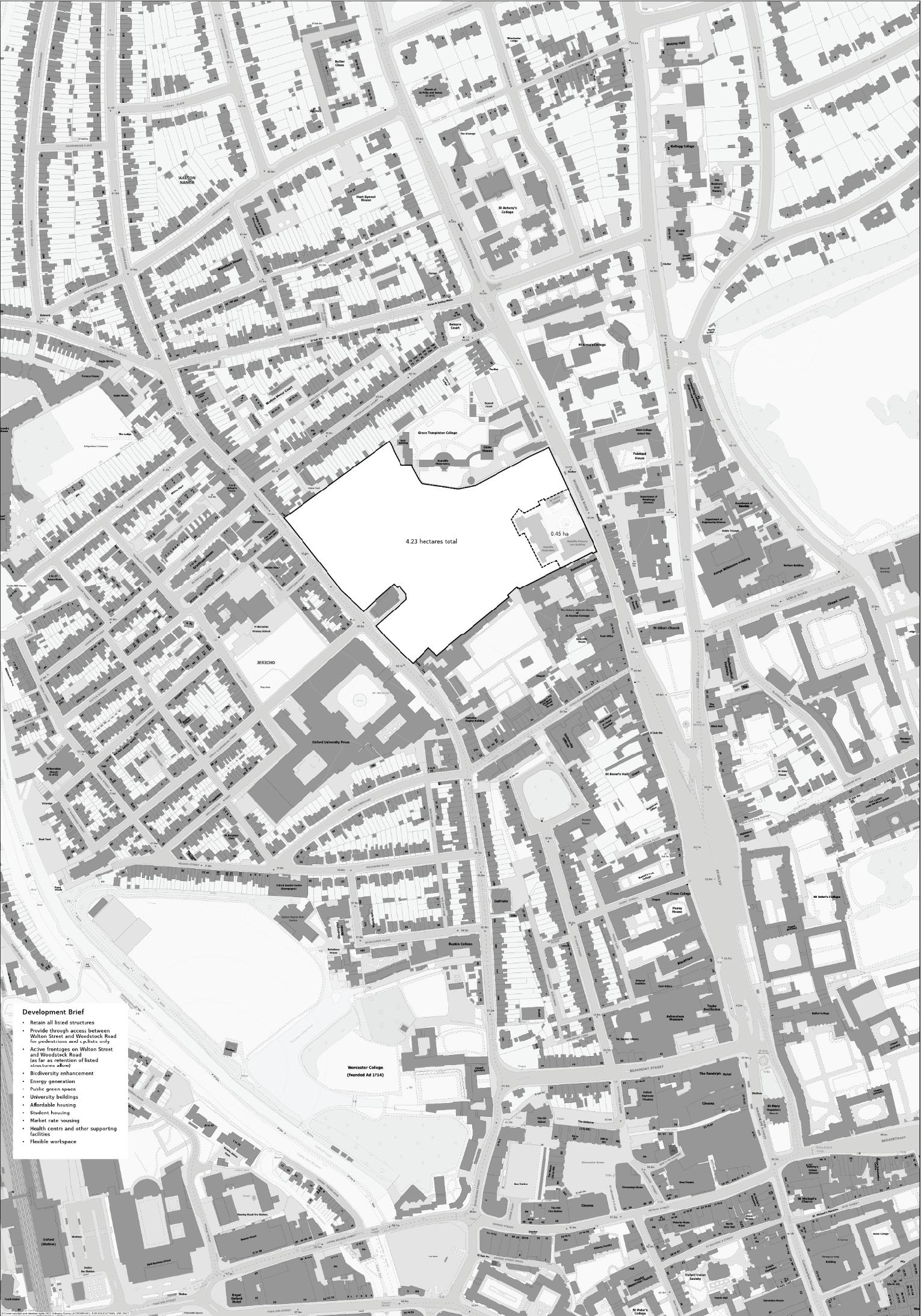
Identify The Route Structure Within The Site Context
The following step is to colour code the close-up map utilising the given blank map.
Analysing the map according to the highlighted colour code from the list below leads to observations and conclusions on the relationship between heirarchy as well as spirit of place. Furthermore, the thoroughfare is mainly used in residential and


