1 minute read
#7 Valtýshellir
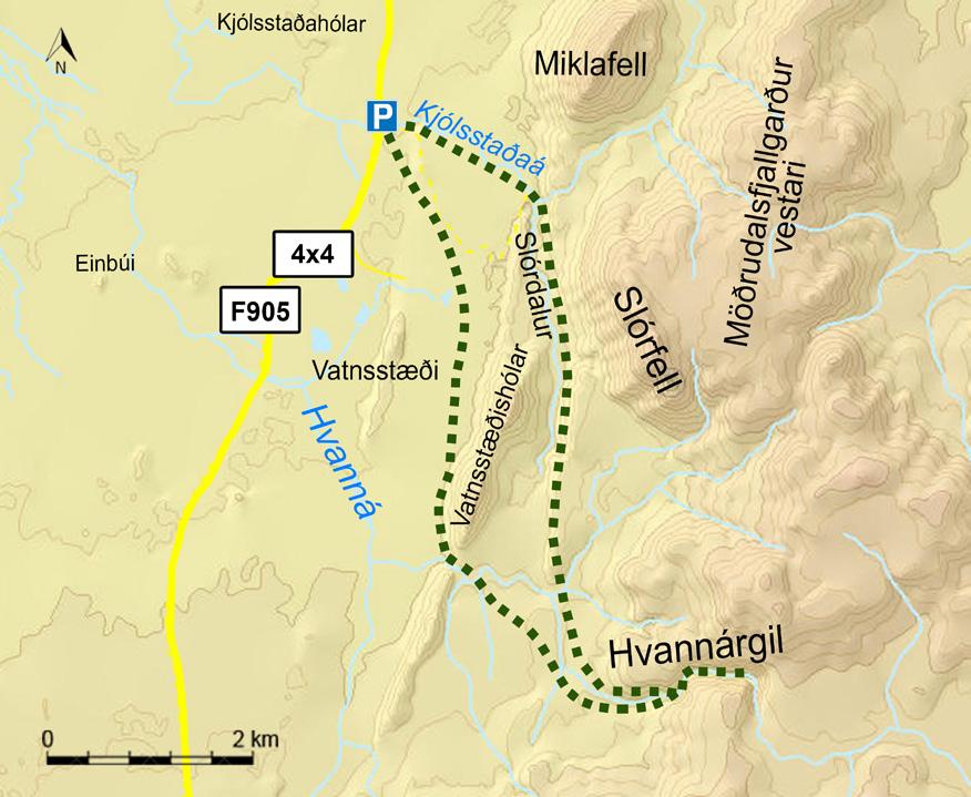
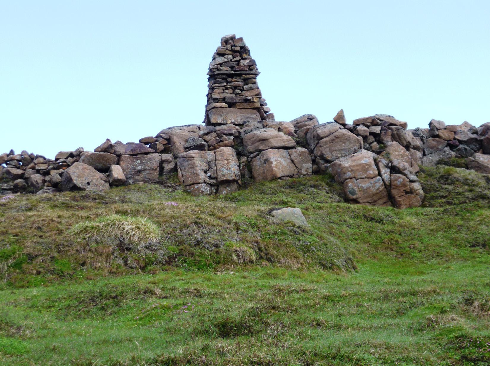
Rauðshaugur is a rock or a hill protruding from the farm Höfði and can be seen widely Walk from the sign by road no 95 road east of Gilsá Gengið frá skilti við þjóðveg 95 austan (utan) við from Hérað. According to river (N65°08,172-W14°31.133), pass the ruins of Gilsá (N65°08,172-W14°31.133). Farið er framhjá legend it is the burial heap of farmer Rauður or Ásrauður in Hátún which used to be a large farm in the early rústum Hátúna en þar var myndarbýli í árdaga the sagas and from there two ages. It is said to have had 18 doors on iron hinges Íslandsbyggðar og er sagt að þar hafi verið 18 similar heaps can be located, the burial heap Bessahaugur in Fljótsdalur and the heap and latches. Remains of old rock fences are visible. In the 19th century an ancient sword was discovered hurðir á járnum. Sjást þar enn merki um hlaðna grjótgarða. Á 19. öld fannst þar fornt sverð, sem var Ormarshaugur in Fell. Legends there but it was promptly melted down and the brætt upp og úr því smíðaðar skaflaskeifur og aðrir has it Rauður was buried with all his riches. People are said to metal casted for horseshoes and other necessities. þarfir hlutir. Áfram er gengið og komið að sléttum have tried digging into the pile Walk on further and along a flat grassy pasture grasvelli, sem kallast Kálfavellir. Valtýshellir er lítill of rocks but always had to give up because of a burning vision named Kálfavellir. Valtýshellir is a small cavity further skúti innan við urðarrana skammt innan og norðan af of the homestead in Ketilsstadir. on behind some rubble north of Hjálpleysuvatn lake. Hjálpleysuvatni. Hólkurinn með gestabók og stimpli Walk from the sign by Fagridalur road (N65°14.590 -W14°21.156) The visitors’ log and stamp is by the cave. er í hellisskútanum. along the trail on Egilsstaðaháls towards Rauðshaugur.
(N65°06.410-W14°28.517) // 9 km


