ohn ontefour
LANDSCAPE ARCHITECTURE PORTFOLIO THE PENNSYLVANIA STATE UNIVERSITY


All the adversity I’ve had in my life, all my troubles and obstacles, have strengthened me... You may not realize it when it happens, but a kick in the teeth may be the best thing in the world for you.
—Walt Disney
Personal Statement
Design and architecture have been intriguing since I was young. However, after discovering the field of Landscape Architecture I found new curiosities. After my acceptance into Penn State’s department of Landscape Architecture, I found a place to develop a passion for my work, as well as a program to prepare me for success.
I am constantly working to develop my craft. I have become a respected student among faculty and my peers. Although I developed a love for landscape architecture, I was not naturally gifted with an eye for design; I was challenged constantly by professors, but also encouraged to work hard. However, I succeed now because I did not allow myself to abandon my dreams. I have pushed myself immensely so that I can be prepare myself to become an effective professional in the field.
My passion for the field is predominantly shown through projects from the urban environment at both the planning and site scales. Creating systems and networks is fascinating to me, but I also enjoy developing specific site details that refine and produce extraordinary designs. This portfolio is a collection of my highlighted projects, and some of the significant implementation material within my curriculum.
Design IV: Landscape Systems Analysis & Design Closing the Gap - Centre County, PA
Design VI: Selinsgrove - Isle of Que GeoDesign Studio Growing with Selinsgrove - Selinsgrove, PA
Education Abroad: Foreign Studies Symbiosis - River Rhine: Bonn, Germany
Design VI: Baltimore Ecosystem Depth Studio Catalyst - Darley Park: Baltimore, MD
Education Abroad: Foreign Studies Symphony - Barcelona, Spain
Design V: Community Design Metamorphosis - State College, PA
Design Implementation Construction Documentation Planting Methods
Site Grading & Stormwater Management
DESIGN CHAPTERS
Understanding human interaction through the connection of public spaces at various scales of design
3 21 15 9 27 21 31
CLOSING THE GAP
Date: Fall 2018
Type: Design IV: Landscape Systems Analysis & Design

Location: Centre County, PA
Size: 3.1 square miles
Tools: ArcMap, AutoCAD, SketchUp, Rhinoceros, Photoshop


Description:
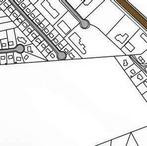
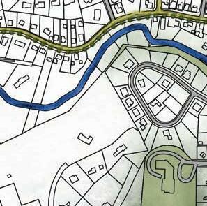
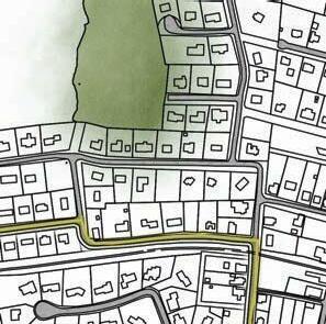
Within the Spring Creek watershed, theres are many gaps between parks and green spaces. The goal of this studio was to create a suitability analysis through GIS to find a location for design. Students were tasked with developing individual design goals that involved strategies at the systems scale.
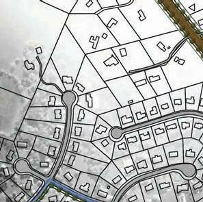
My design involved a parks and trailway accessibility plan that involved the linkage of existing parks, the design of new park spaces, and various trails and bike routes within the greater State College area. This design considered locations and land use for possible development, existing trails and linkages, and areas lacking accessibility.

3


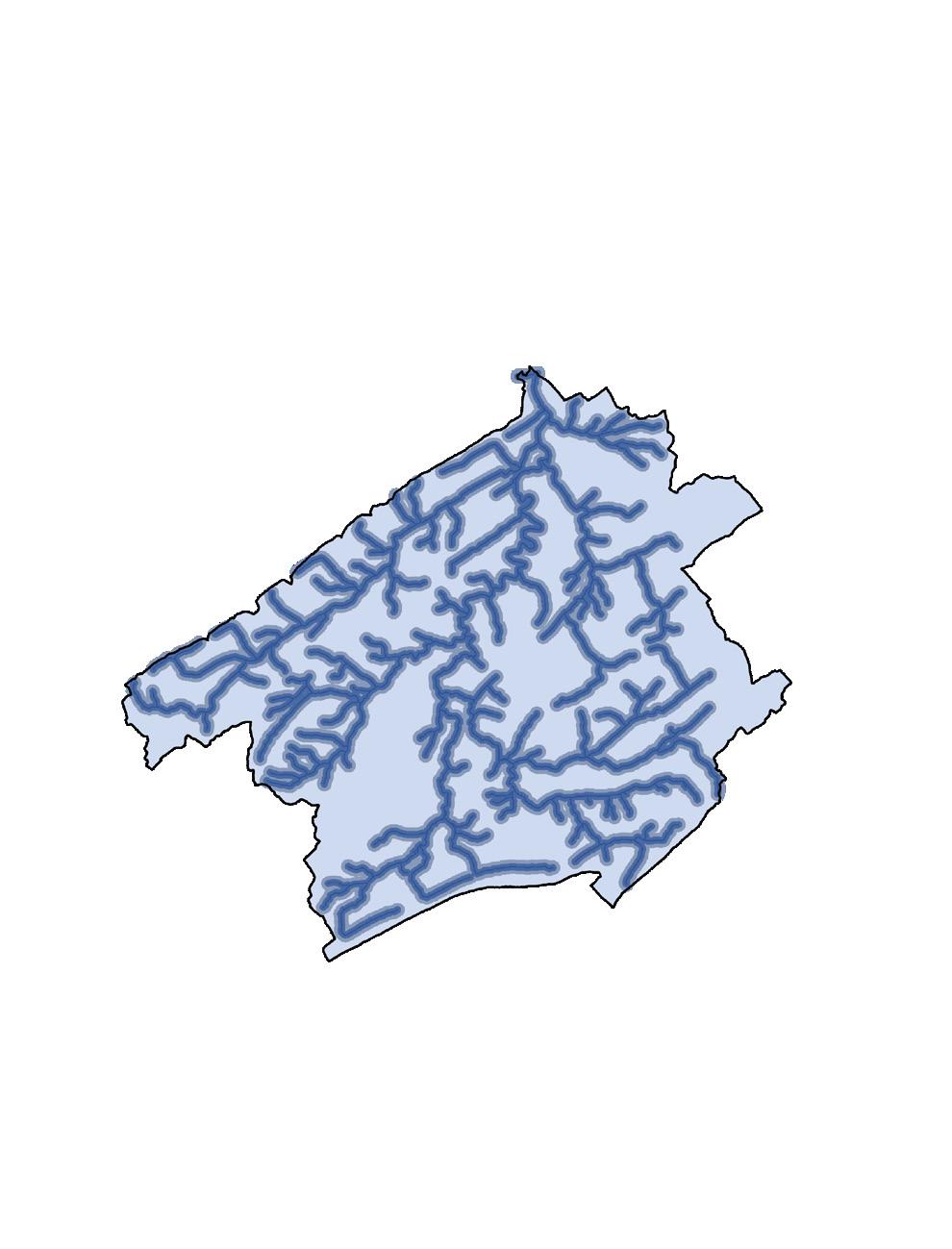
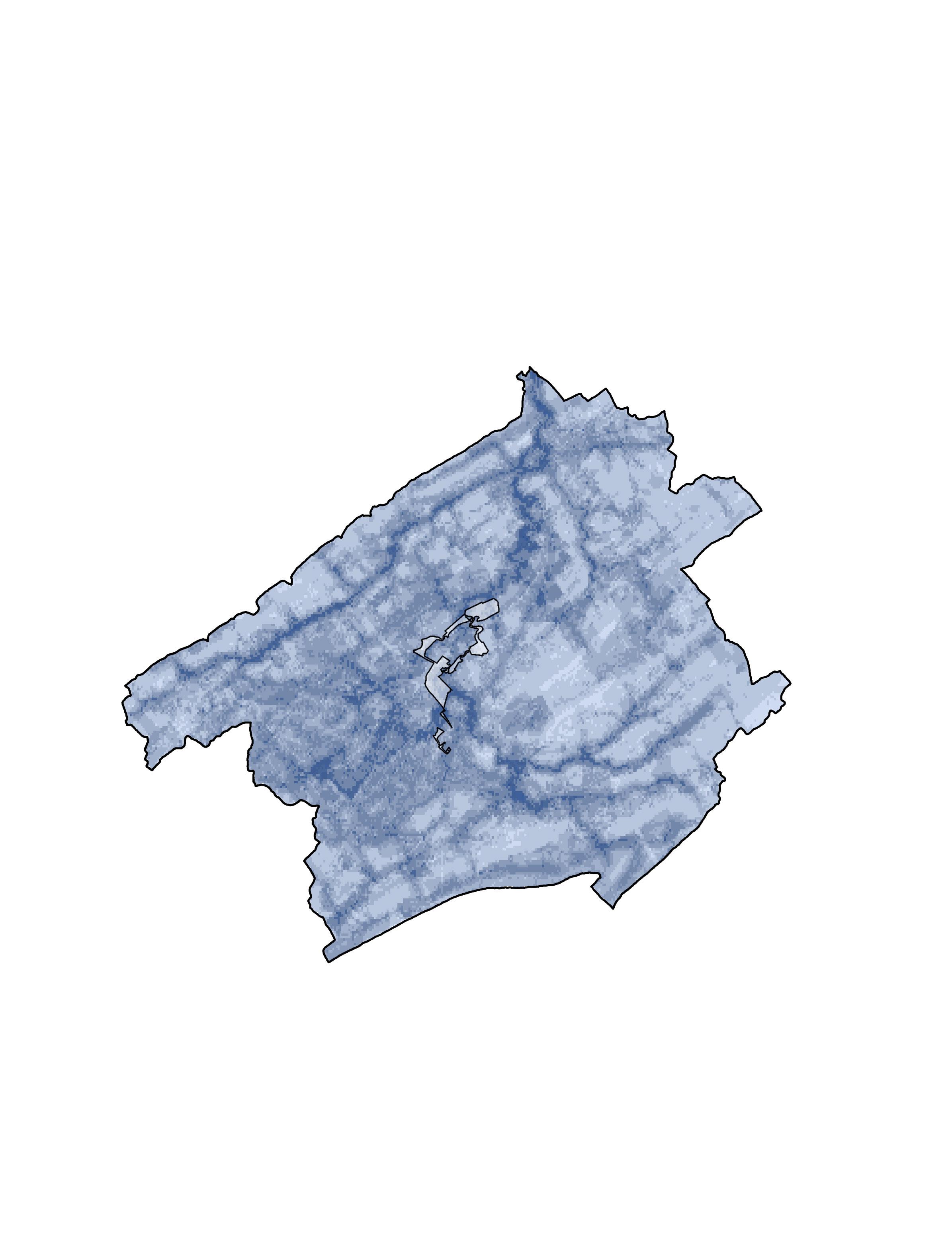
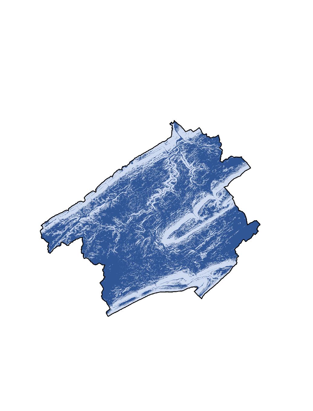
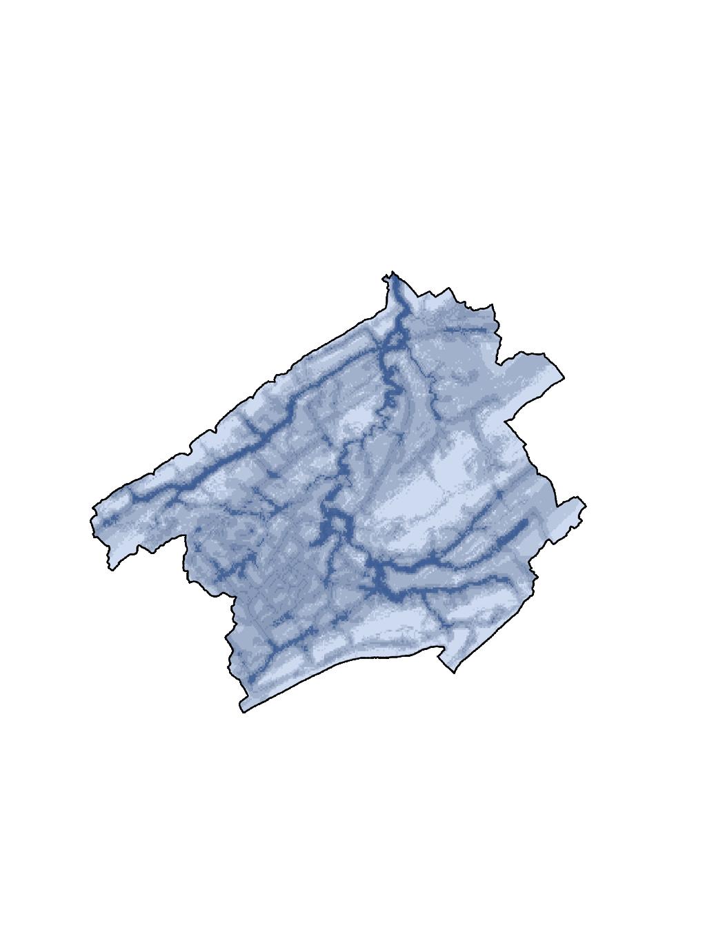
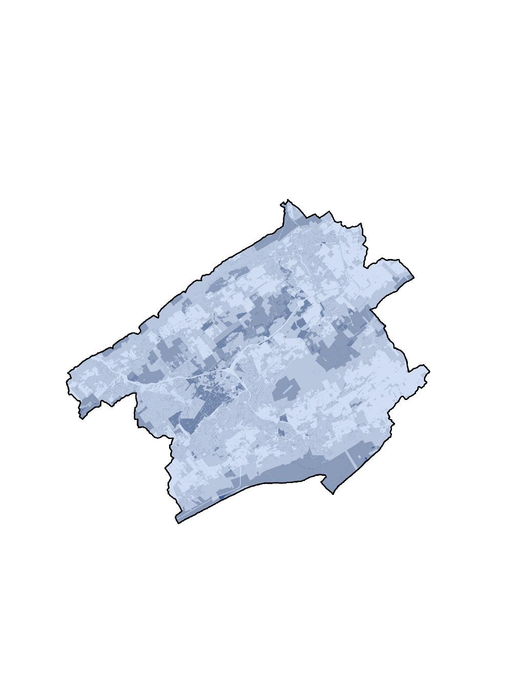
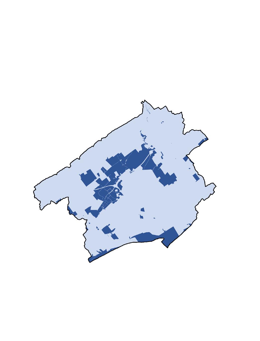
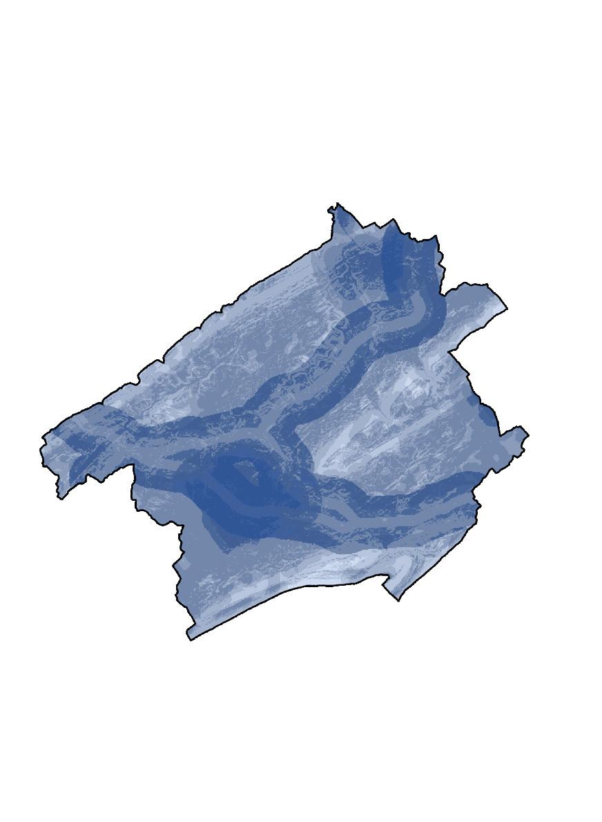

Land Use Most Suitable Least Suitable Future Urban Development Desirable Slopes Suitability Analysis Public Land Special Features Vicinity to Streams Park Fragmentation 5
People & Environment
The Gap
Nature
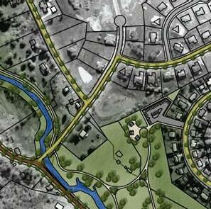
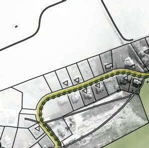
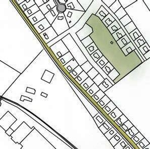
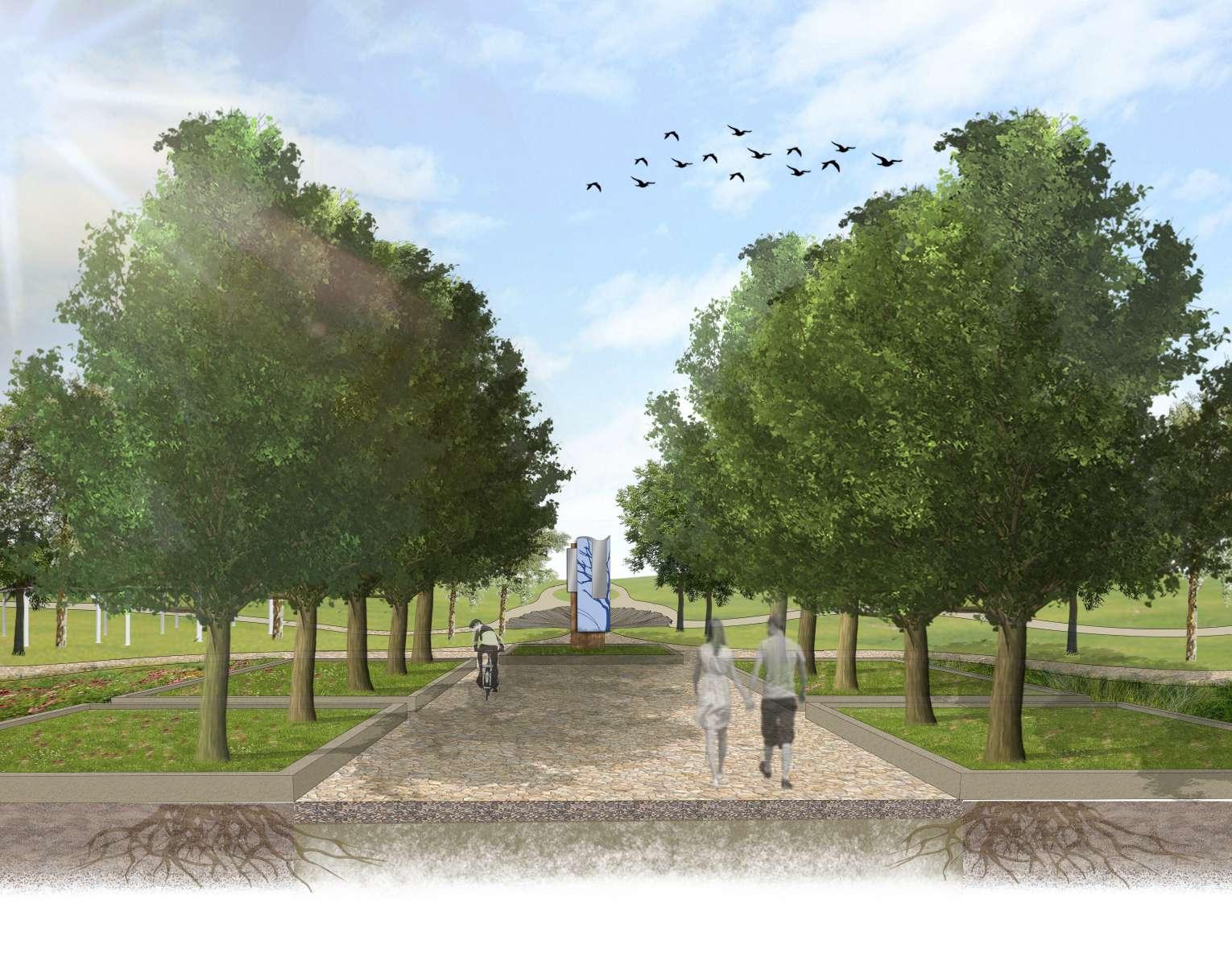
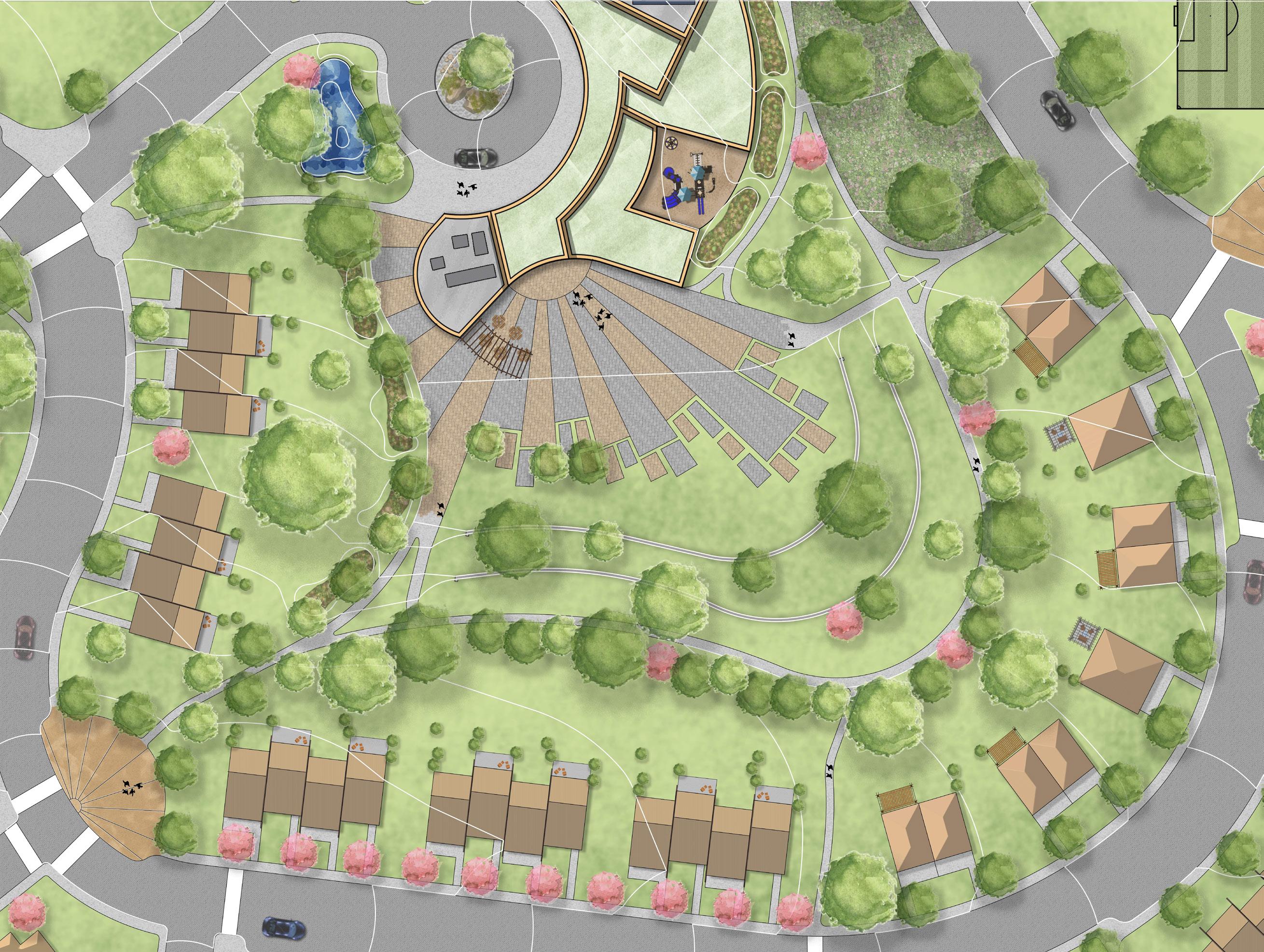
The studio goals focused largely on the systems and planning scale, however, to create a more holistic design I began designing specific typologies and sites within the greater masterplan. This was driven primarily on the analysis done with GIS. Studying specific layers allowed me to understand specific areas within my scope to develop more deeply. This led to other connecting pieces, such as signage and wayfinding design for that would provide visual connection for the system of parks and trails.
6
7
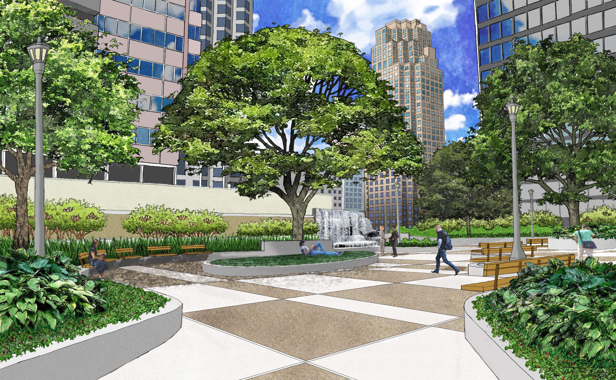
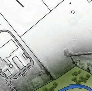
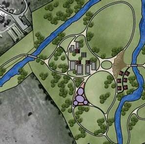
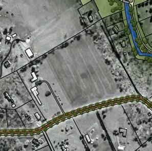
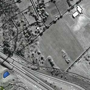
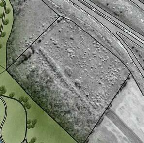
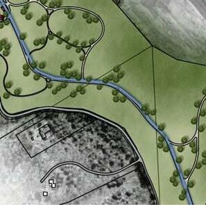
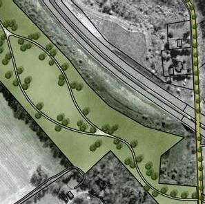
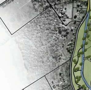
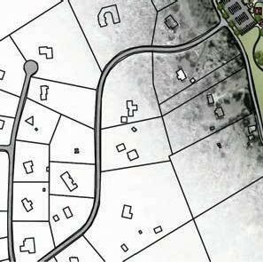
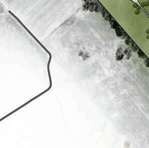
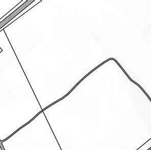
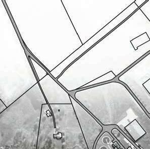
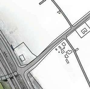
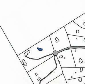
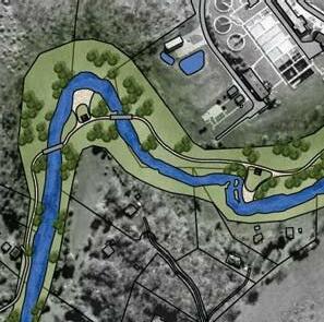
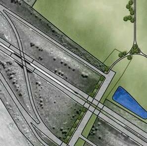
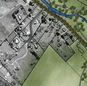
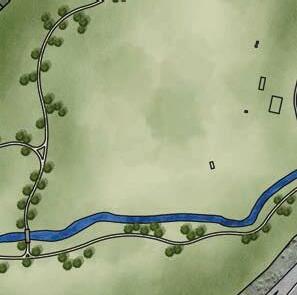
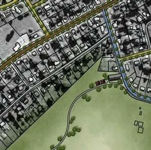
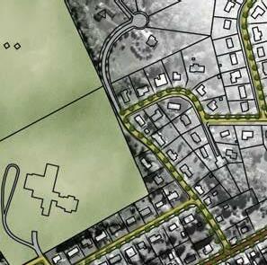
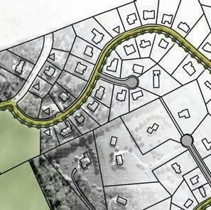
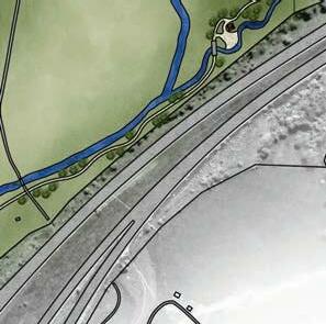
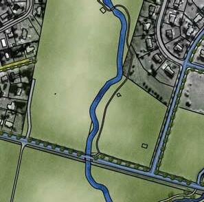
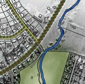
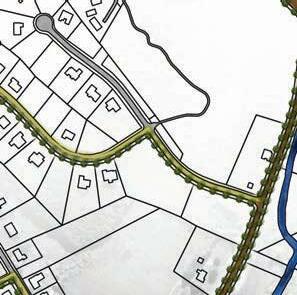
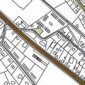
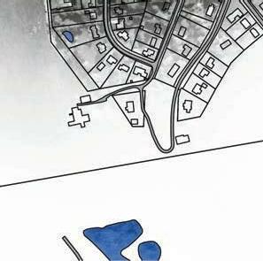
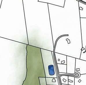
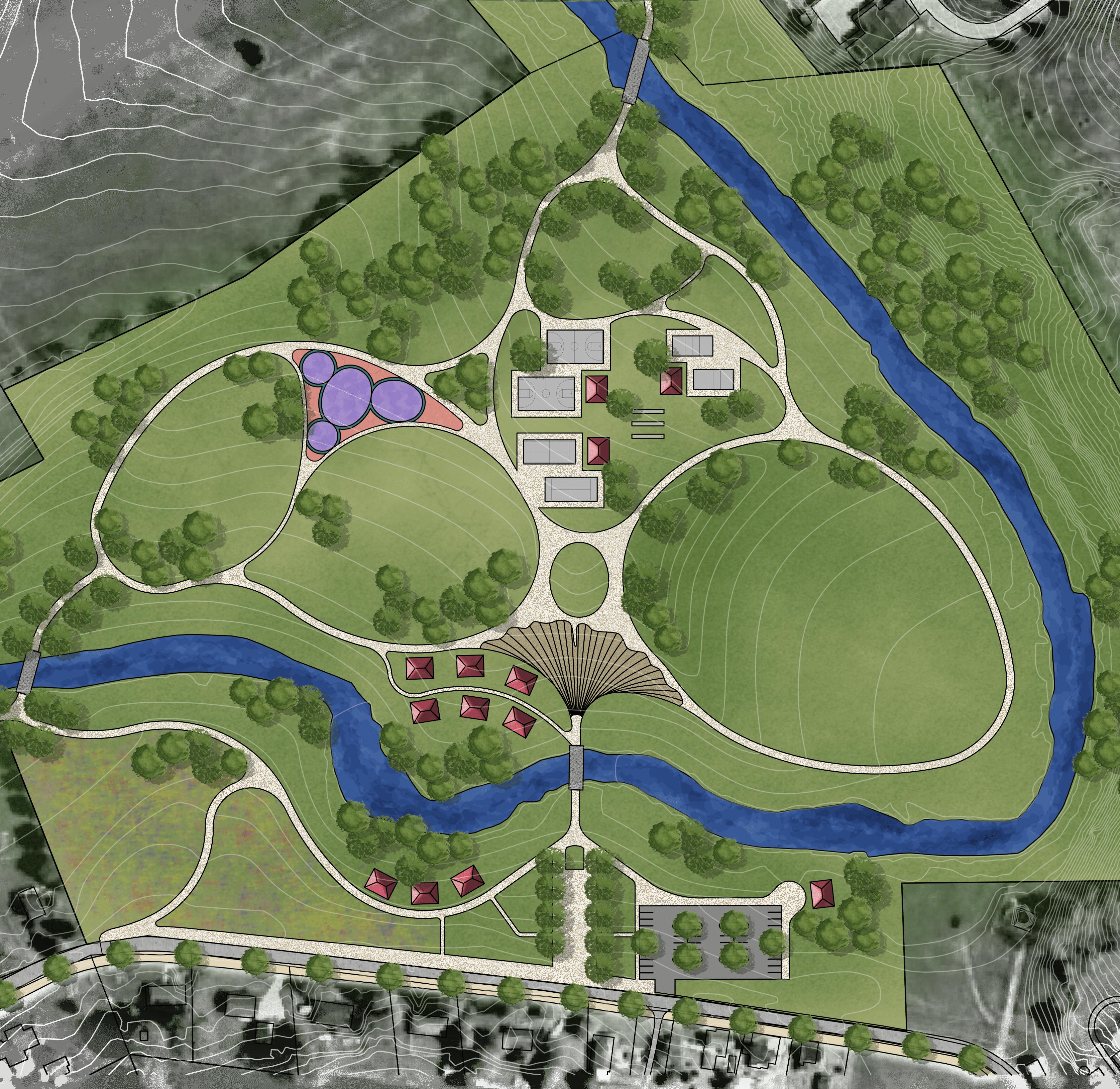
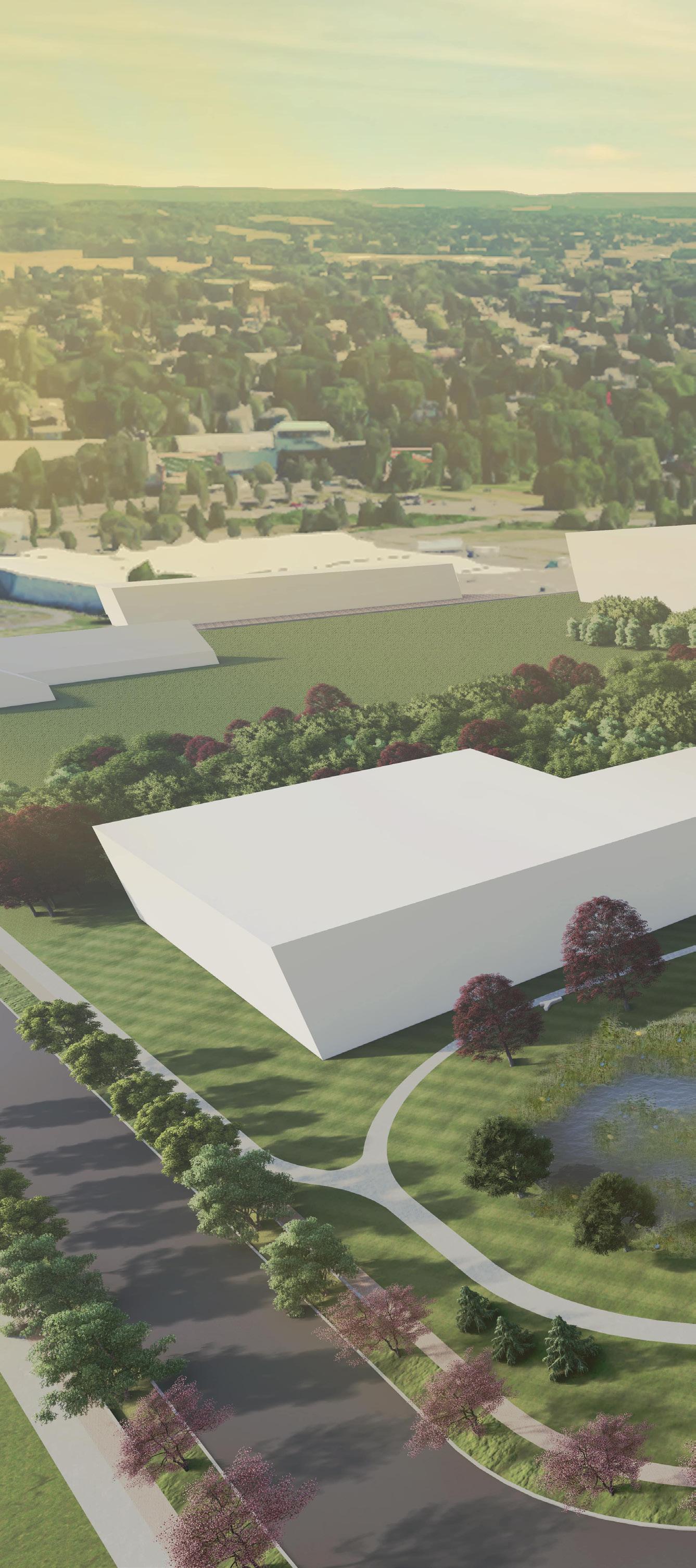
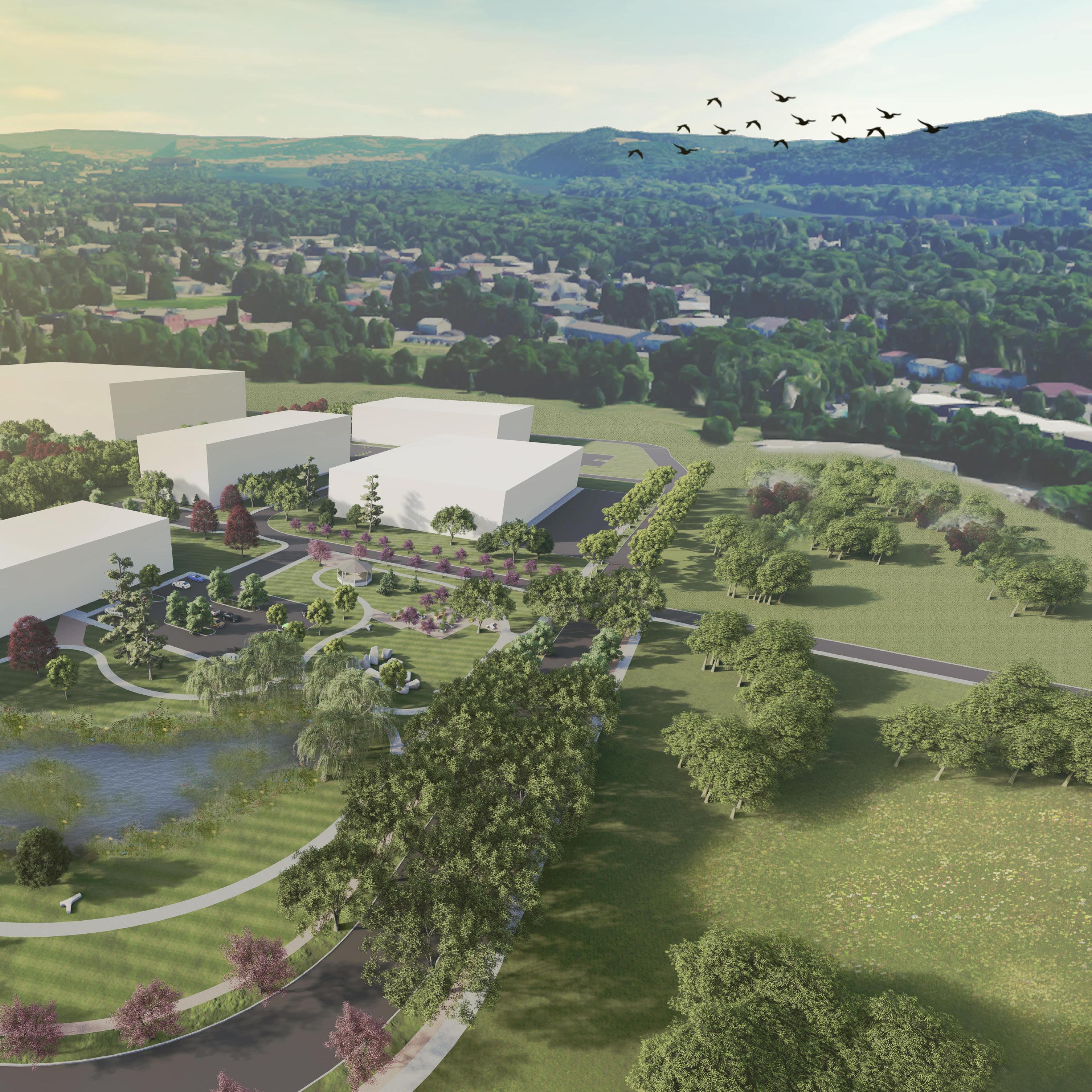
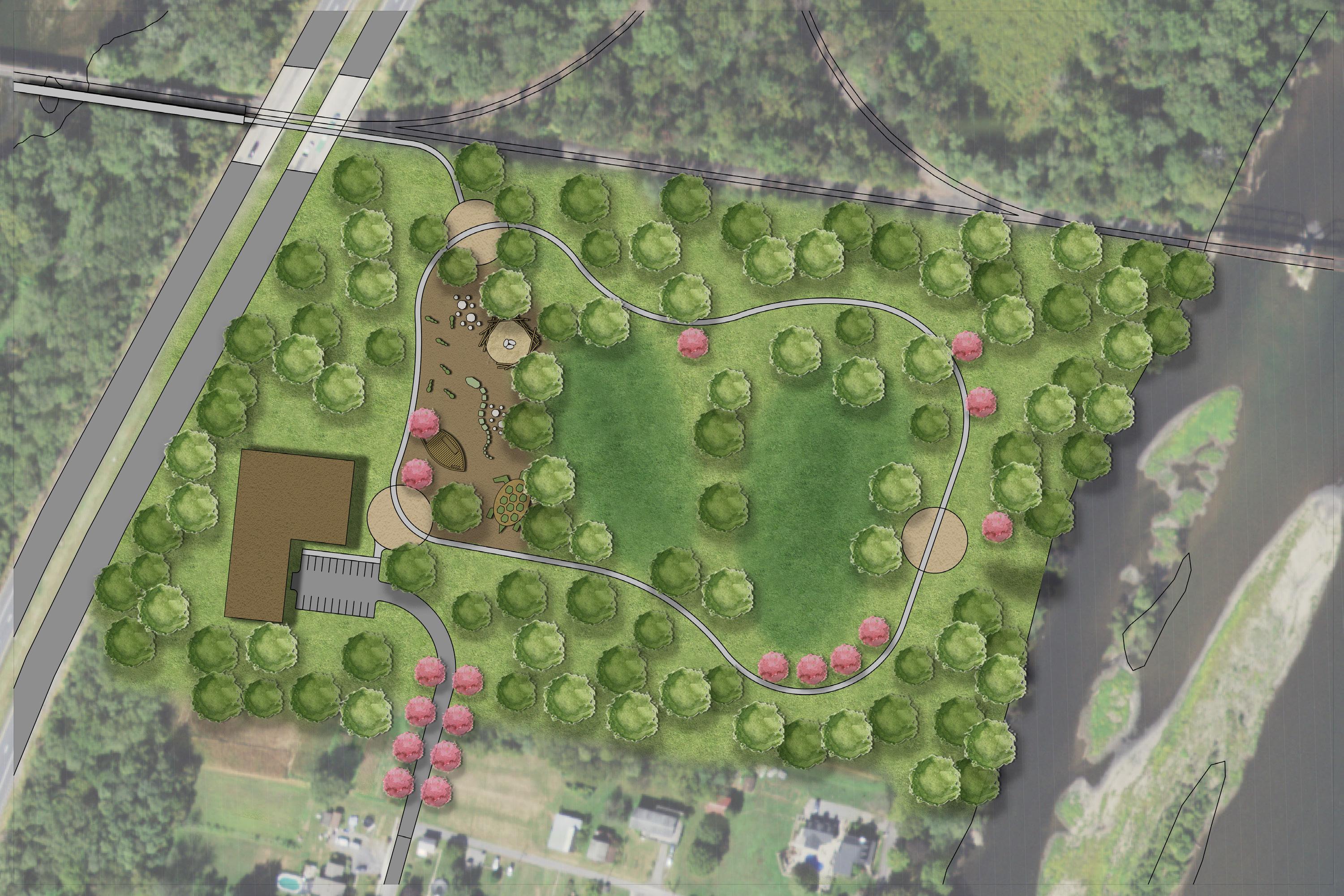
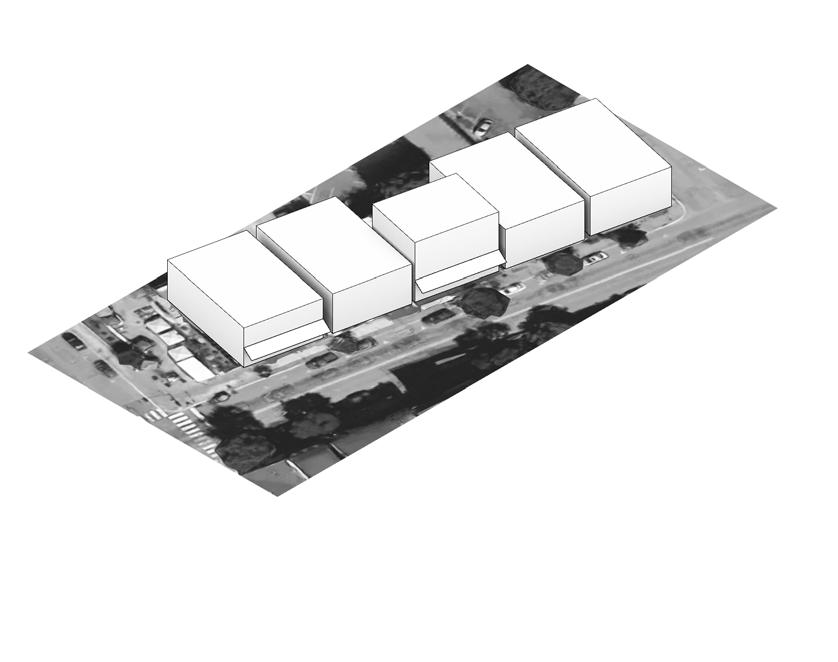
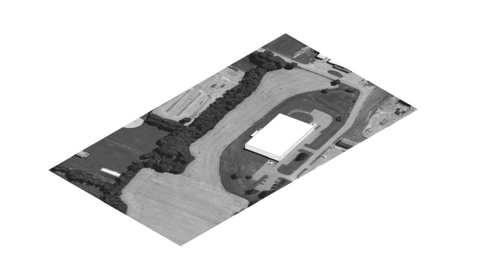
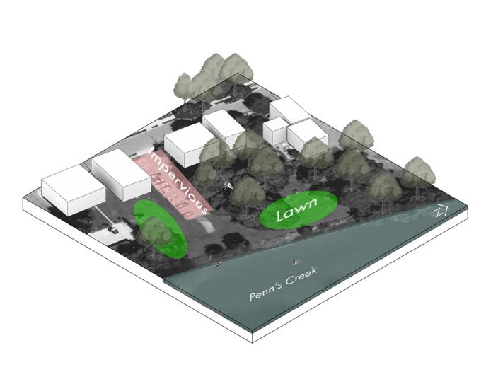
For each site design, I did more in-depth analysis based on surrounding context, ecology and topography, and future development projections. This specific park space was designed to be an active recreation space for the many surround neighborhoods and developments. This design is surrounded by water, which became an interesting method of attempting to solve accessibility and connectivity through this water resource.

8
GROWING WITH SELINSGROVE
Date: Fall 2020
Type: Design IV: Selinsgrove - Isle of Que GeoDesign Studio
Location: Selinsgrove, PA
Size: varied based on location
Tools: ArcPro, StoryMaps, AutoCAD, SketchUp, Lumion, Photoshop, Illustrator
Team: Divya Manek, Jim Wu, JJ Montefour
Description:
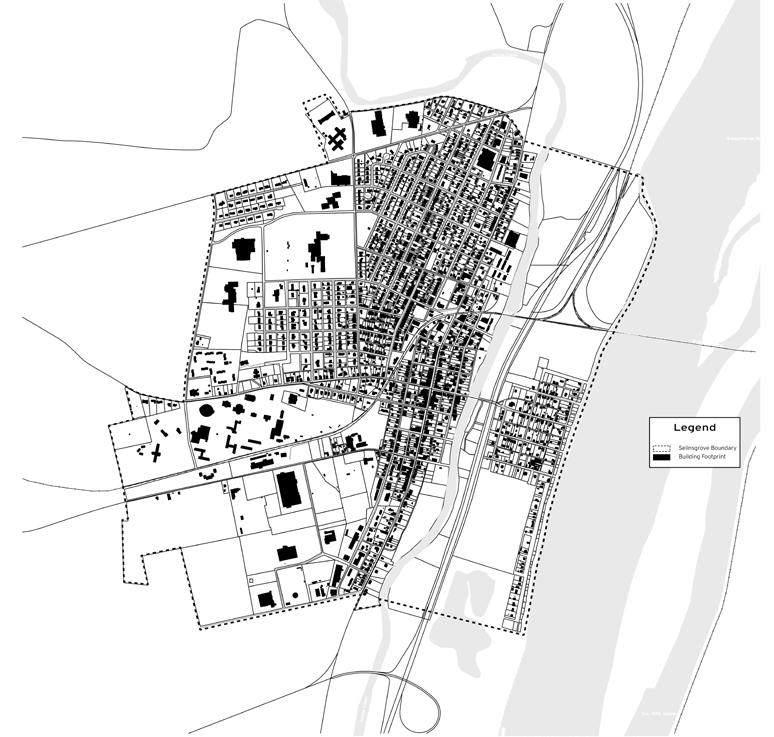
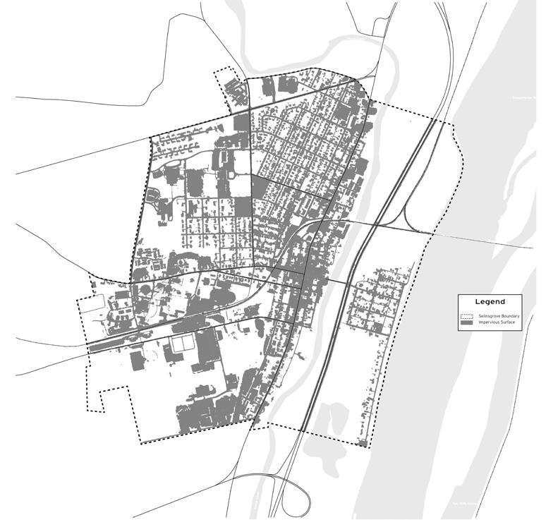
Selinsgrove is a post-industrial town in rural Pennsylvania. The town hosts historical heritage, with many opportunities for future growth. This town has several issues, such as flooding, fluctuating population, and lack of planning and infrastructure.
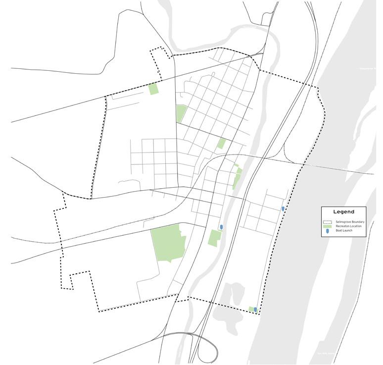
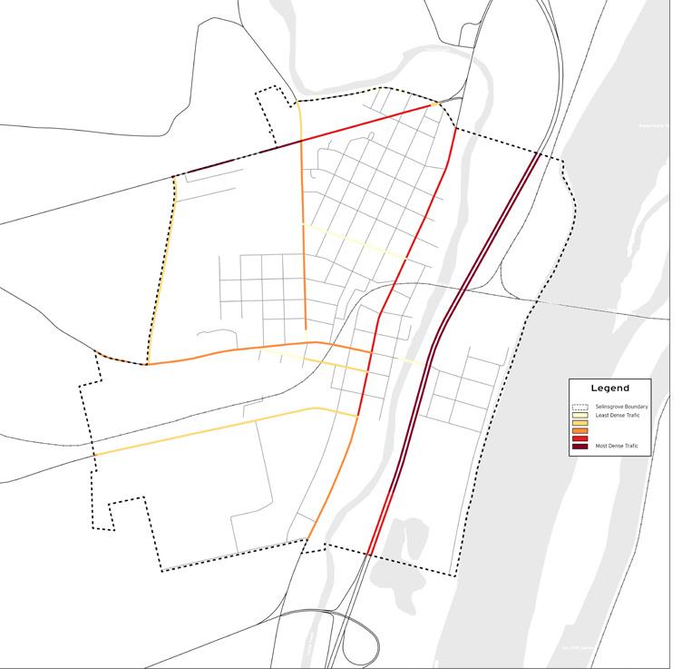
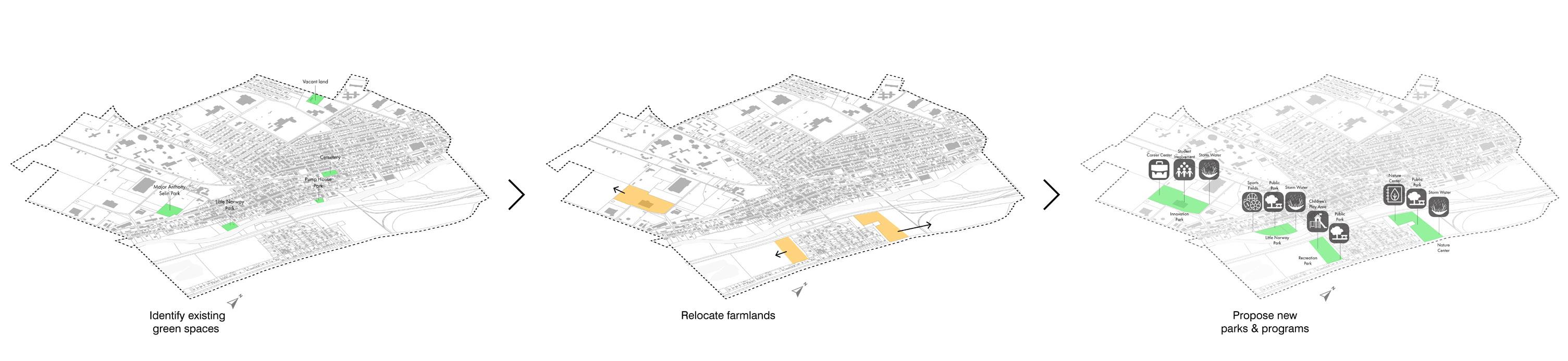
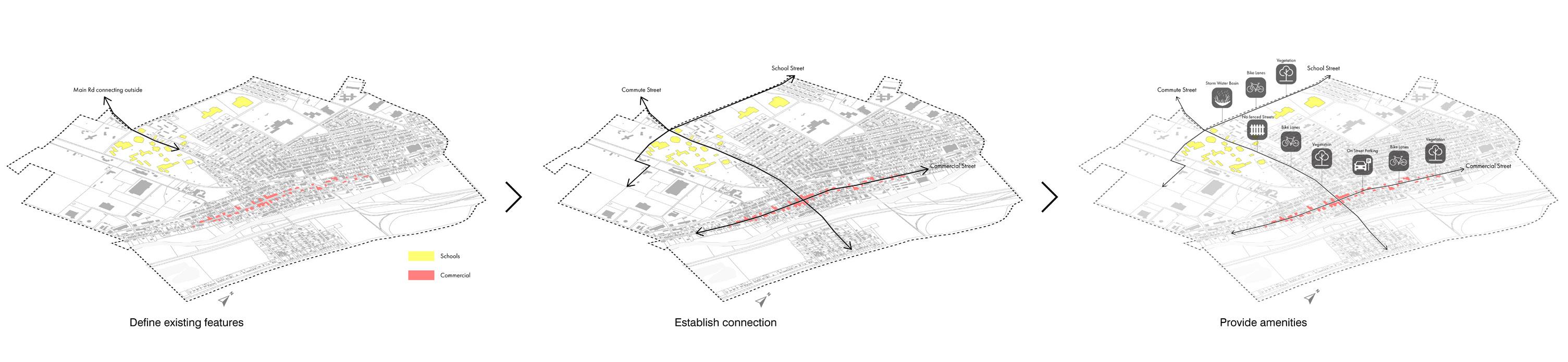
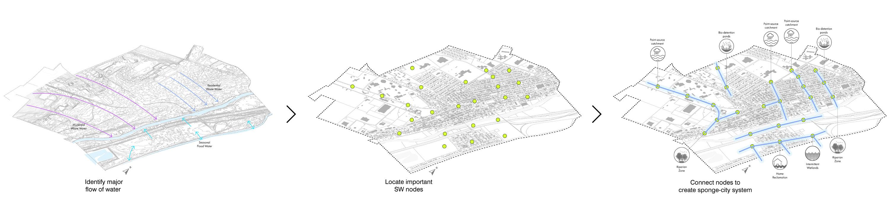
My team’s strategy for this design was framed by using GeoDesign to inform our design. Our team focused on stormwater, renewed recreation, linkages and complete streets, and space planning. We approached this project as an opportunity to provide Selinsgrove with more than just new green spaces; we aimed to create a comprehensive view of the town for current and future residents.
This challenge of this studio was the complexity of the GeoDesign framework, with our individual design processes. Our team used our different design styles to our advantage at different stages of design.
9
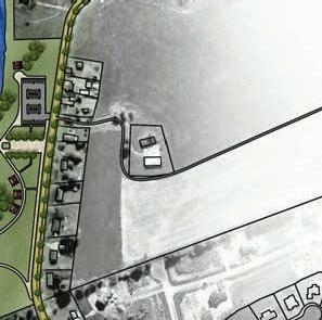
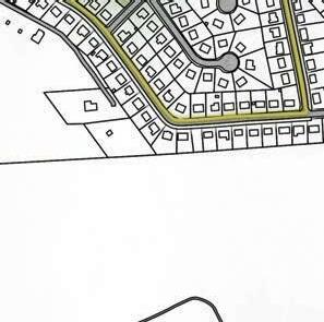
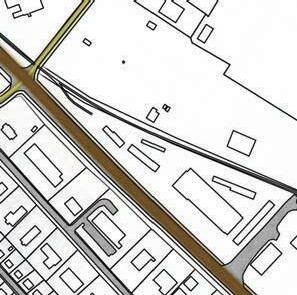
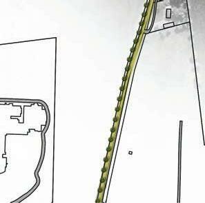
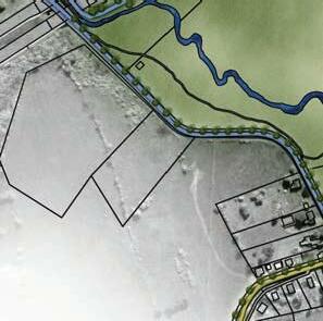
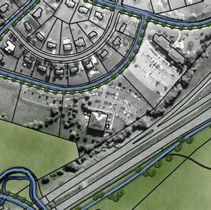
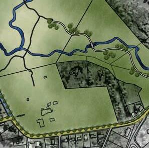
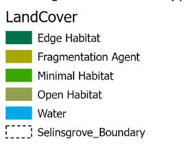
This design studio was performed using methods of GeoDesign, following each step of the process to inform our final design. Throughout each step our team began constructing a design framework to optimize our use of GeoDesign. The park above was one location that our team found to add every component of our design framework (stormwater, renewed recreation, linkages and complete streets, and space planning).

11


12
The graphics displayed on this page were a collaborative effort among Divya Manek, Jim Wu, and JJ Montefour
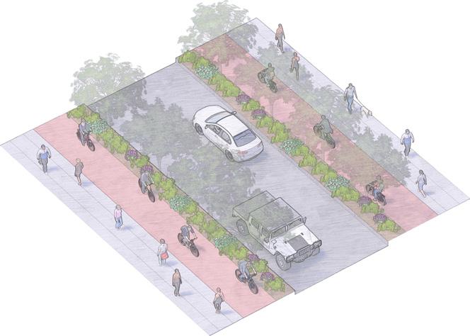
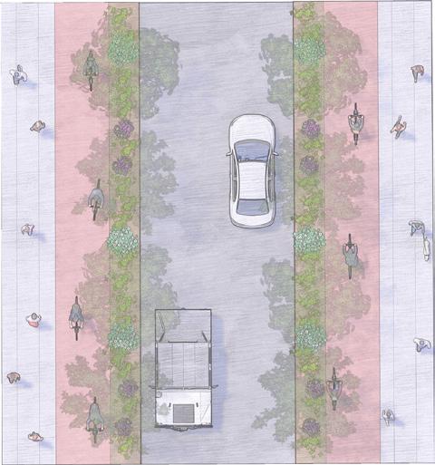
N Pizza Restaurant Pizza Restaurant Pizza Restaurant Pizza Restaurant Italian Restaurant Italian Restaurant StreetSide Parking N N Pedestrian Bike Vegetation Vehicle Bike Vegetation Pedestrian
Gathering Gathering on street parking on street public MarketSt. PineSt.
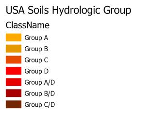
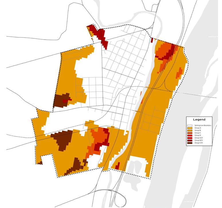
13 Soils
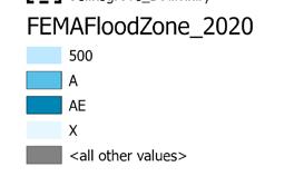
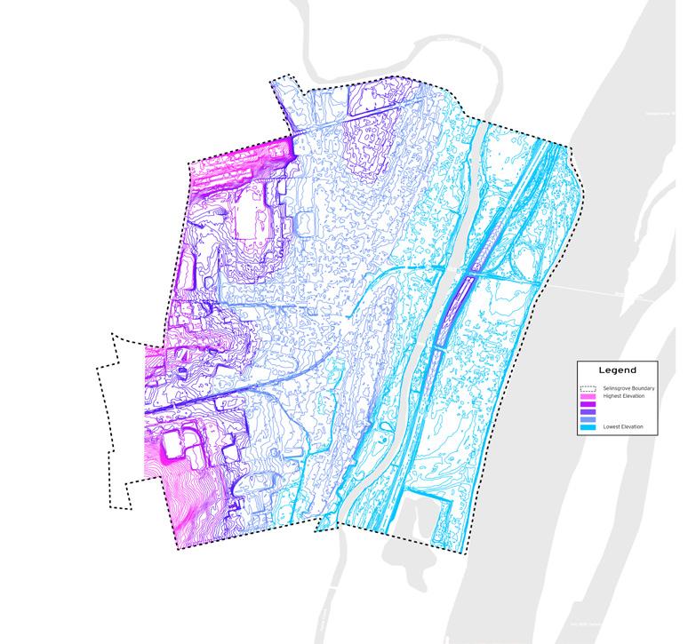
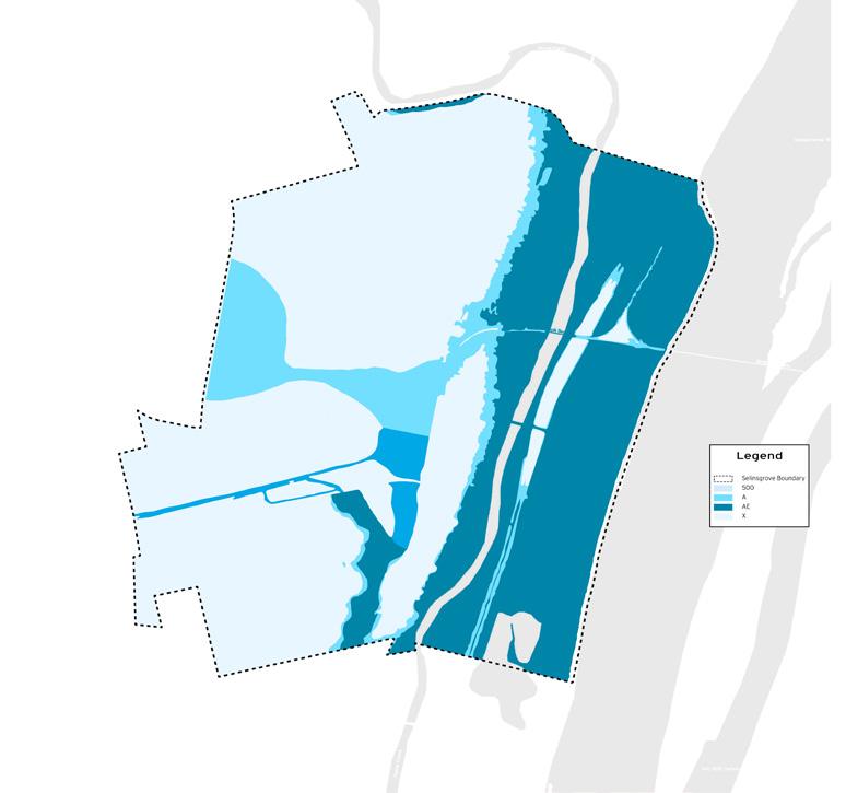
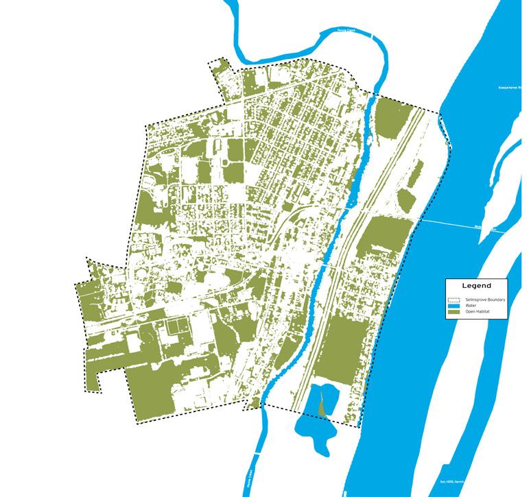
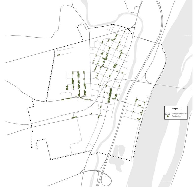
Floodplain Existing Habitat Traffic Density Impervious Surfaces Street Tree Locations Recreational Areas Building Footprints Most Dense Least Dense
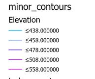
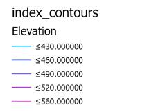
Topography
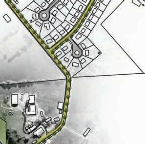
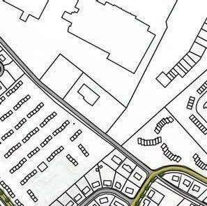
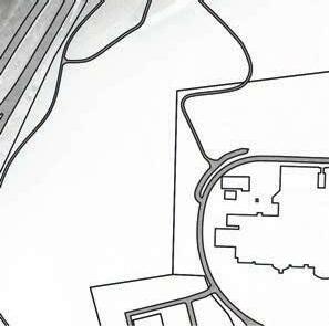
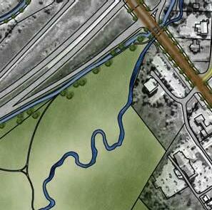
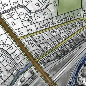
A major component of the studio was the movement between steps of GeoDesign. The images on these pages represent our initial inventory models (left), and our final design models (above). These images represented layers that constructed our framework and demonstrated our proposed design changes within our framework.
14
SYMBIOSIS
Date: Spring 2020
Type: Education Abroad: Foreign Studies
Location: River Rhine: Bonn, Germany
Size: 6.2 miles
Tools: AutoCAD, SketchUp, Photoshop, Illustrator
Description:
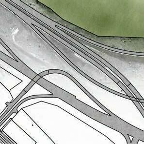
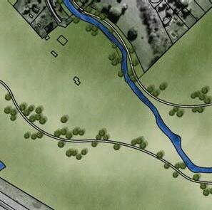
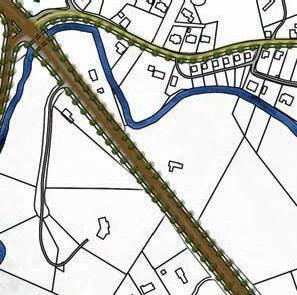
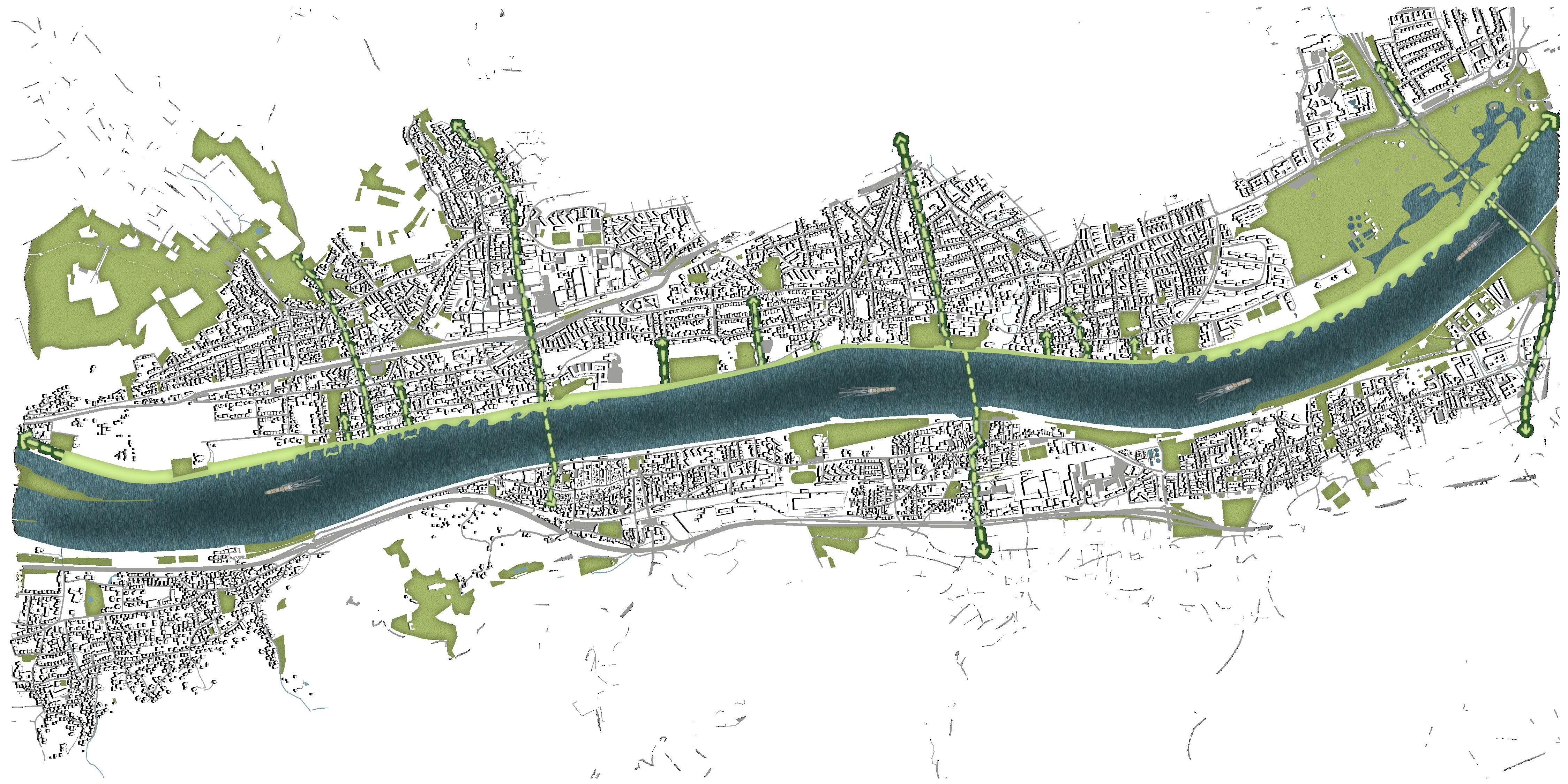
The River Rhine extends through several countries in Europe, flowing through Northern Germany in Bonn. This project focused on a 6-mile span, connecting several communities within the City of Bonn.
My strategy for this design involved the re-creation of recreation and the addition of innovative environmental strategies to assist with seasonal flooding and lack of riparian areas along this stretch of the Rhine River.
This challenge of this studio was to redesign an existing river corridor, while accommodating existing circulation and connecting neighborhoods. The biggest obstacle I faced was finding strategic moments along the River Rhine that would best suit the various needs of the project.
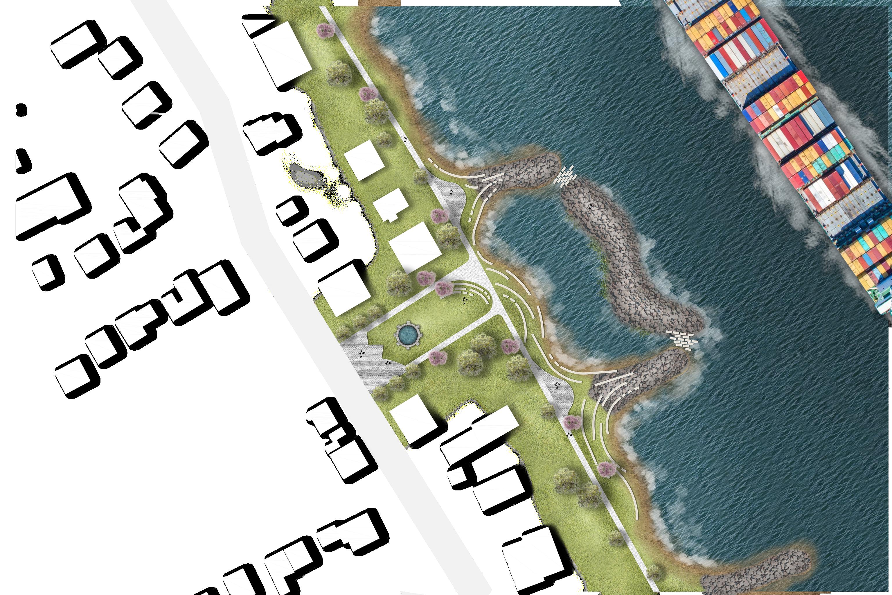
15 REDESIGNED RIVERBANK 3
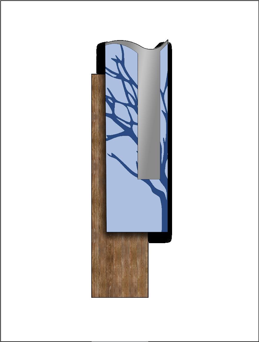
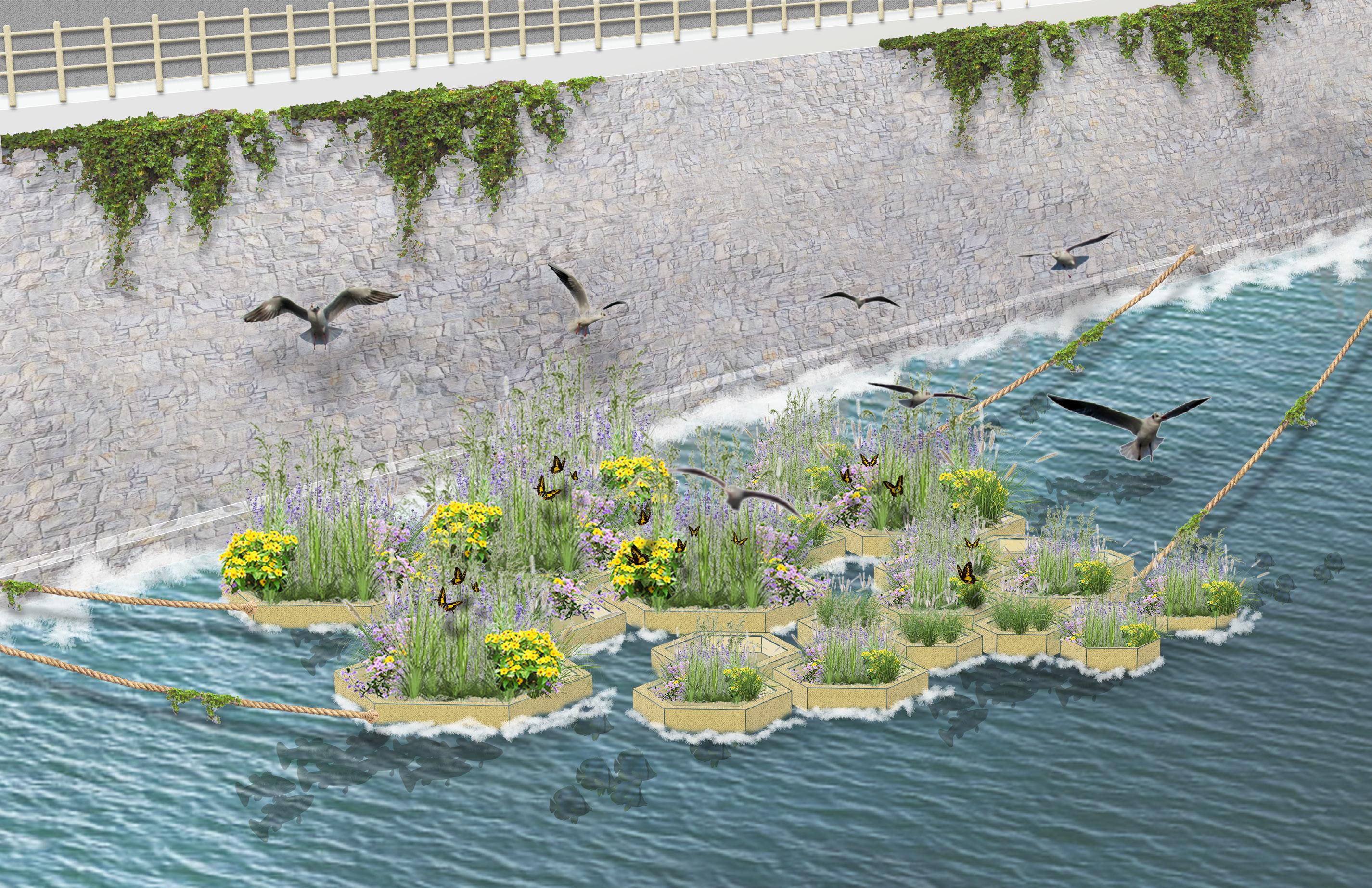
WALL & FLOATING WETLANDS
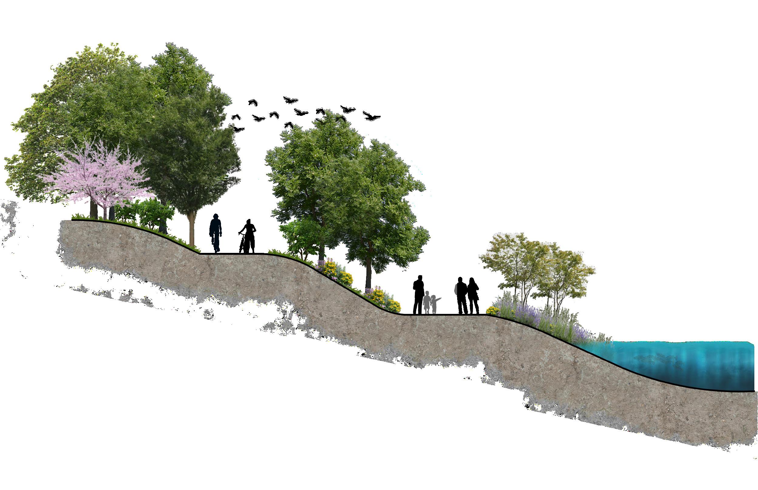
RIPARIAN EDGES RIVERBANK REDESIGNED RIVERBANK

1 2
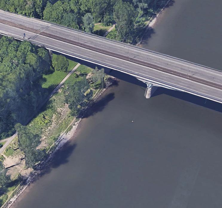
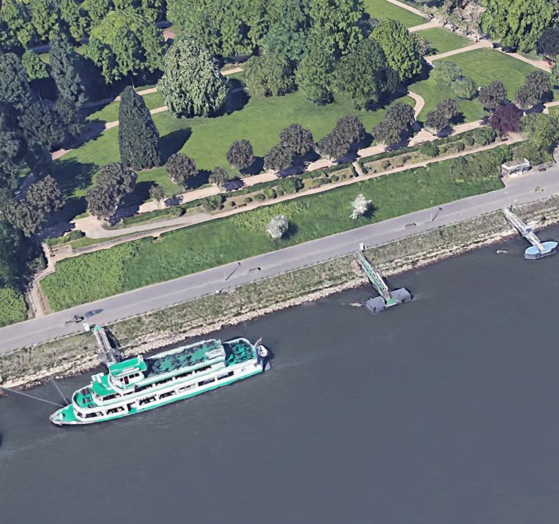
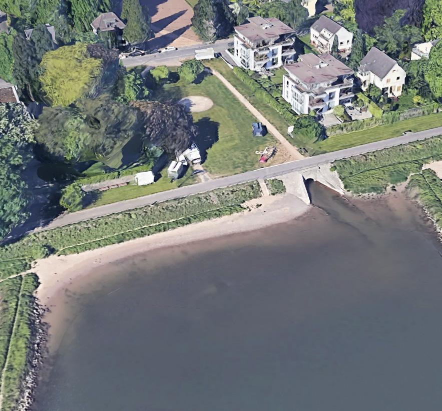
3. Drachensteinpark 2. Rheinallee - Panoramapark 1. Konrad - Adenauer Brucke
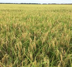
Water-tolerant plants and grasses are used to filter water
Specific soil mixture is used to promote root growth and to withstand erosion from the water
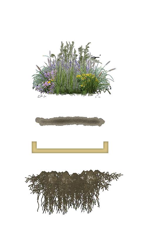
Bouyant pods are constructed to withstand water currents and support plant material
As roots grow they filer the polluted water, but they also become areas for fish habitat
17
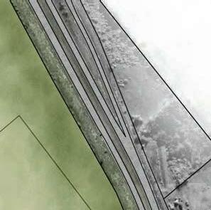
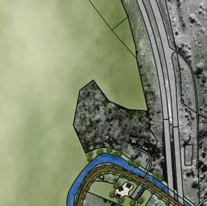
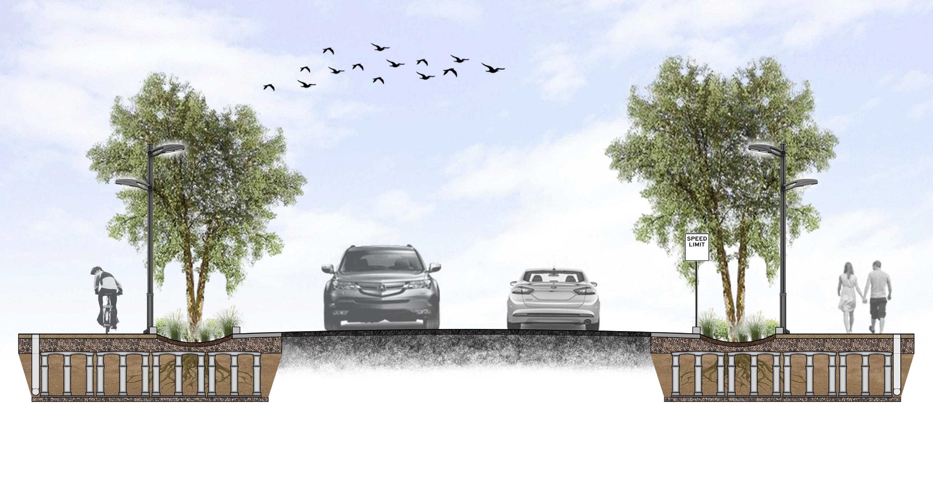
This design studio focused on the interactions between the Rhine River corridor and the adjacent residential areas. My design emphasized the key recreational areas along the corridor, while reconstructing the shape and uses of the riverbank. My design softened the riverbank, while adding innovative riparian areas and providing new recreational and aesthetic moments where there previously were none.
18


19
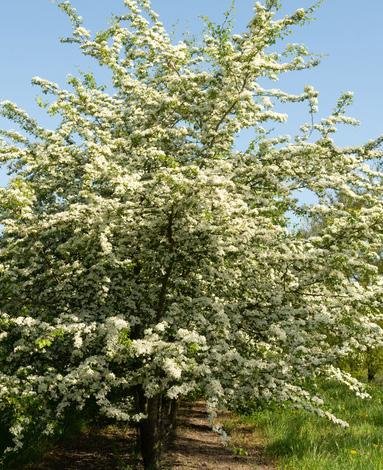
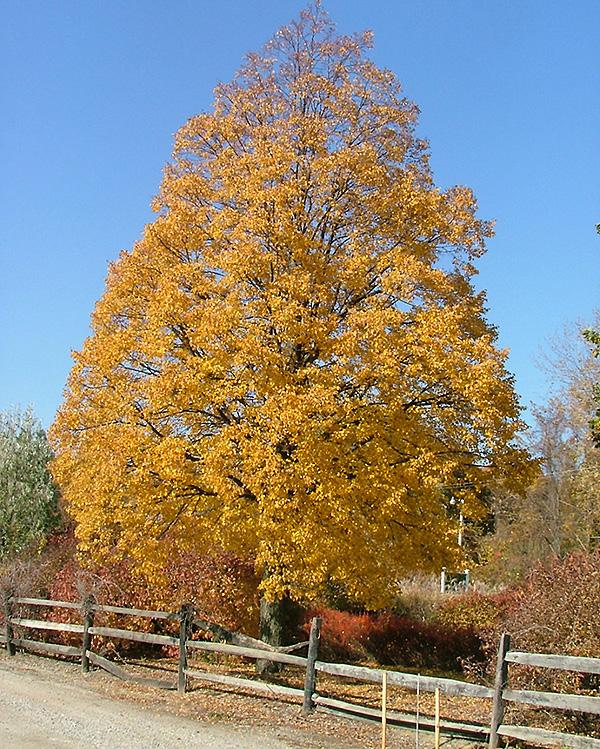
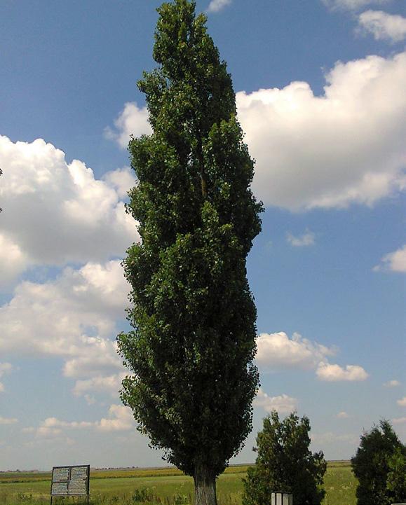
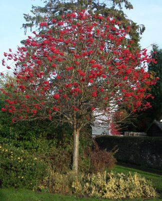
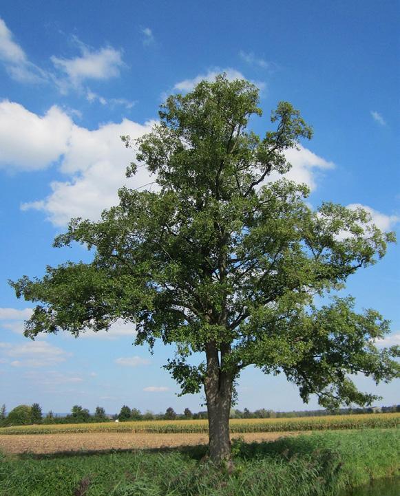
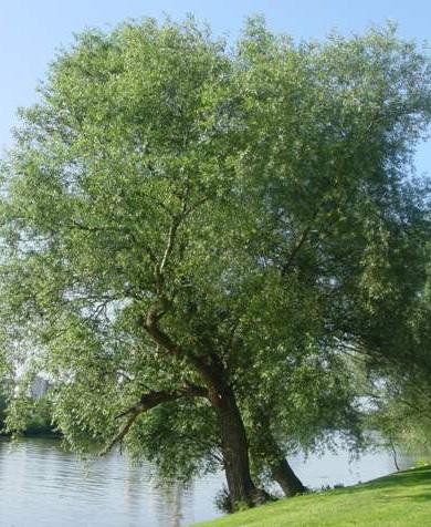
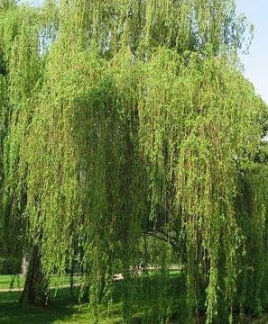
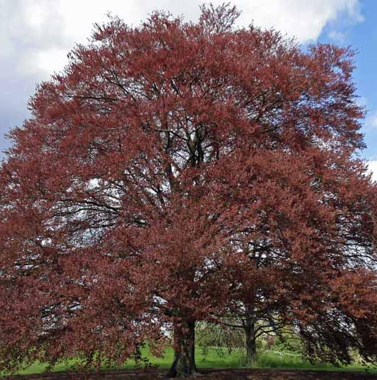
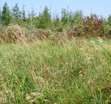
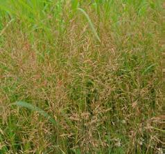
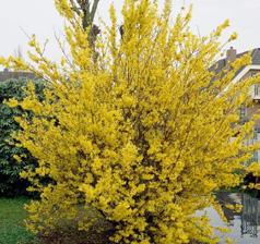
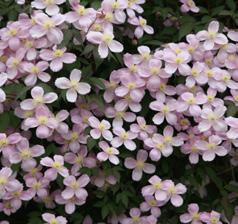
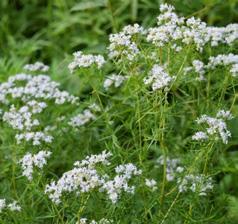
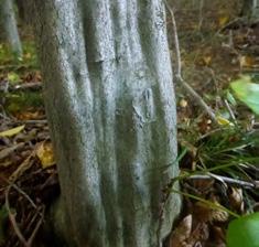
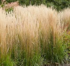
An opportunity of this studio was my ability to research and choose native plant species from the area in Germany we were located. Although a challenge to find data, this exercise was rewarding since I could callout specific species in appropriate locations and use there form and function to design spaces as I would with projects from my other projects.
20
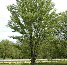
Fagus sylvatica
Salix abla
Salix fragilis
Tilia cordata
Alnus glutinosa
Sorbus aucuparia
Populus nigra
Crataegus monogyna
CATALYST
Date: Fall 2019
Type: Design VI: Baltimore Ecosystem Depth Studio
Location: Baltimore, MD
Size: 2.4 acres
Tools: ArcMap, AutoCAD, SketchUp, V-Ray Photoshop
Description:
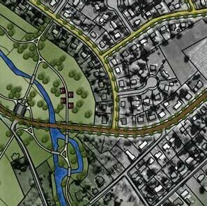
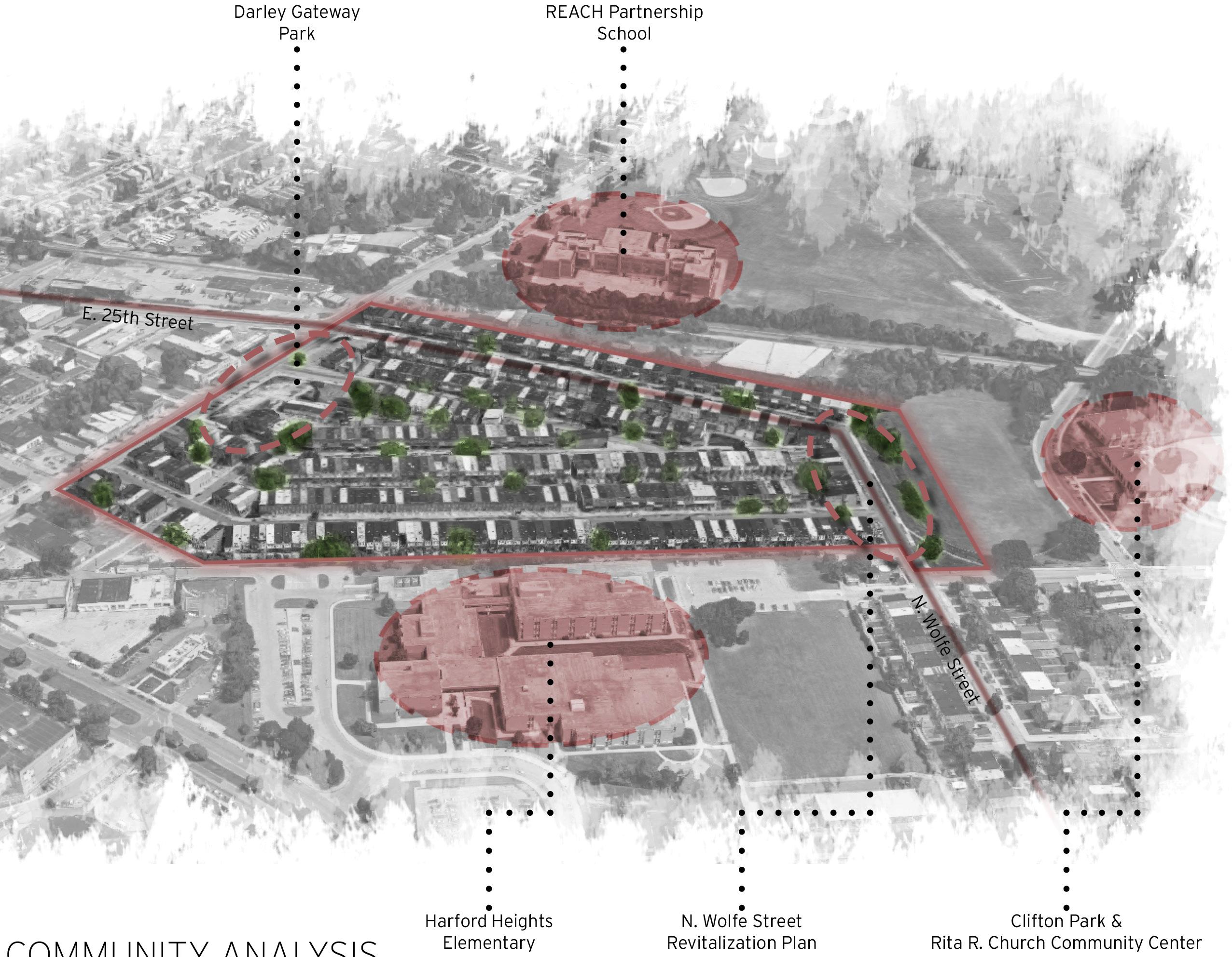
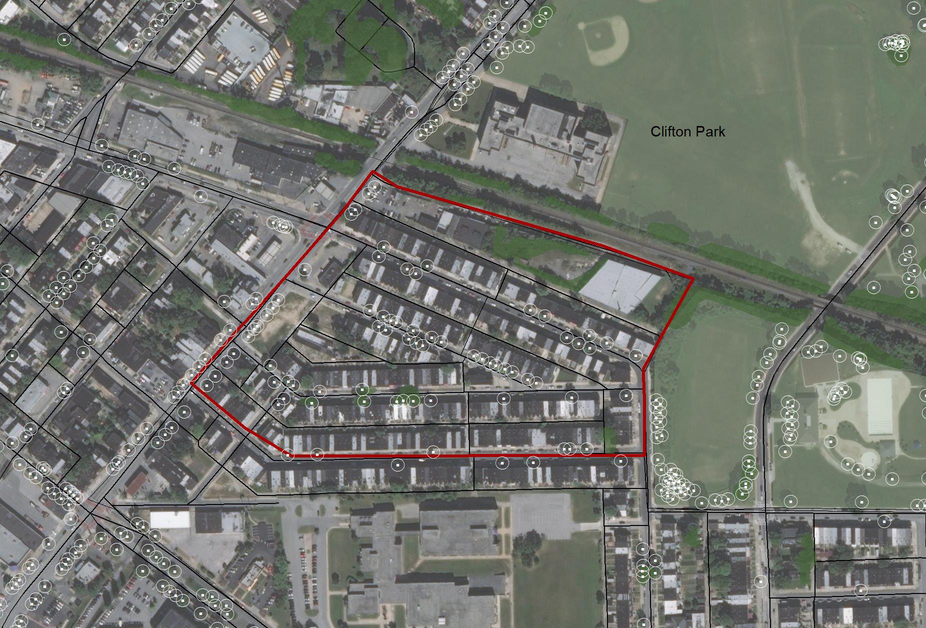
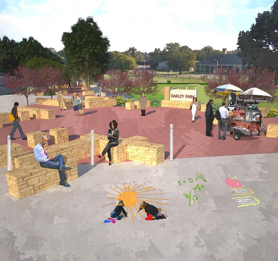
The Darley Park neighborhood in Baltimore is a low-income, minority neighborhood. The goal of this depth studio is to develop designs from initial analysis and concepts to final design details.
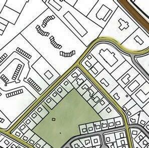
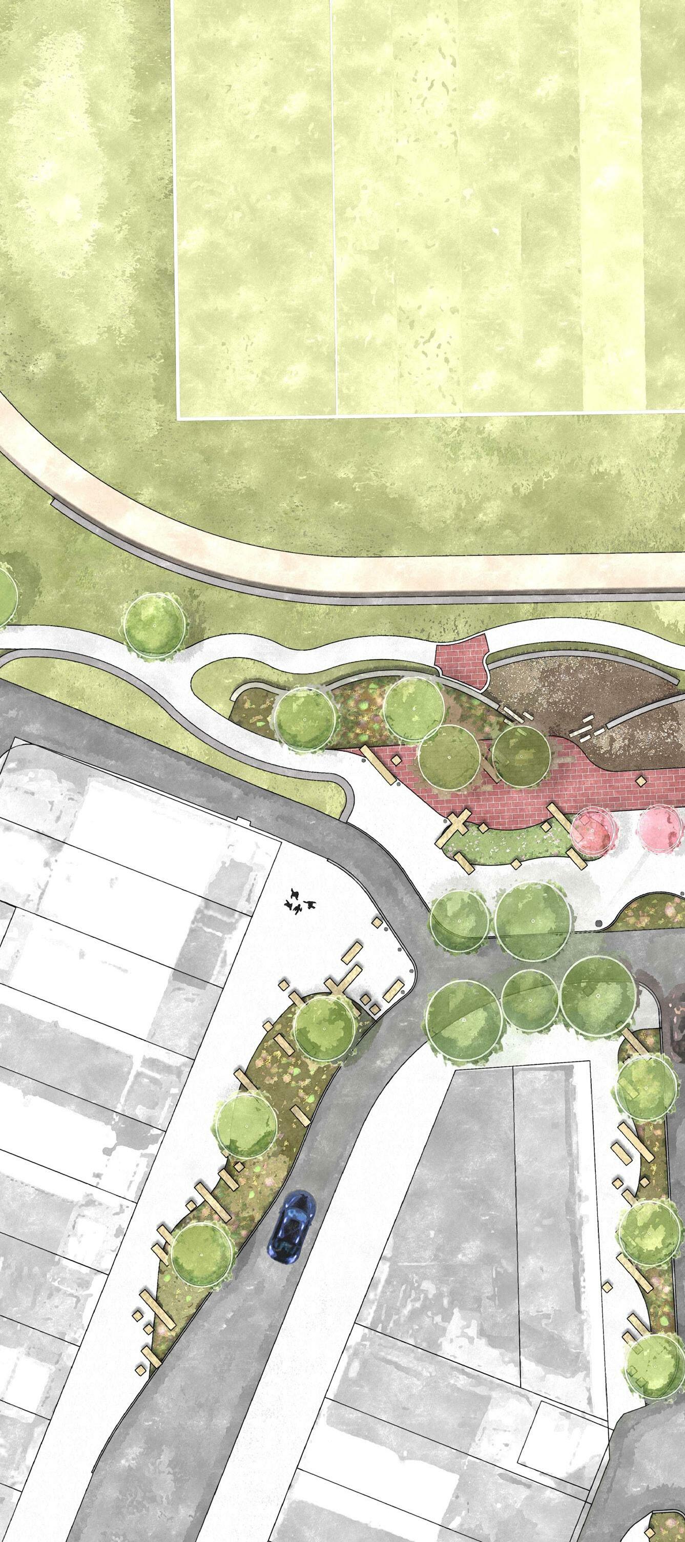
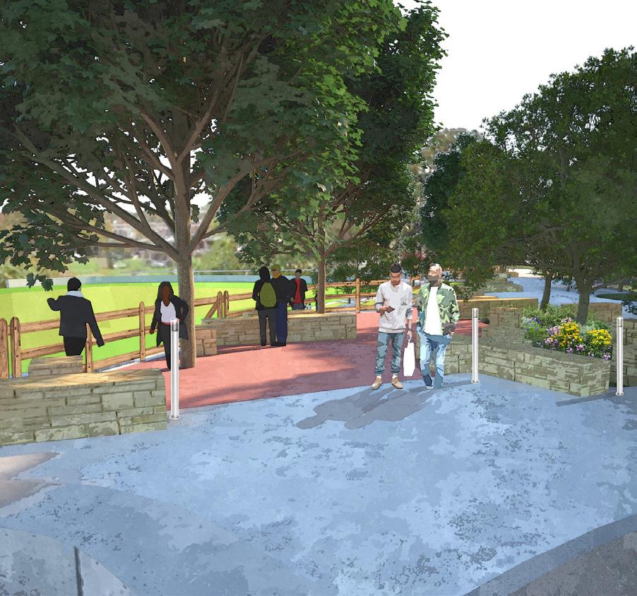
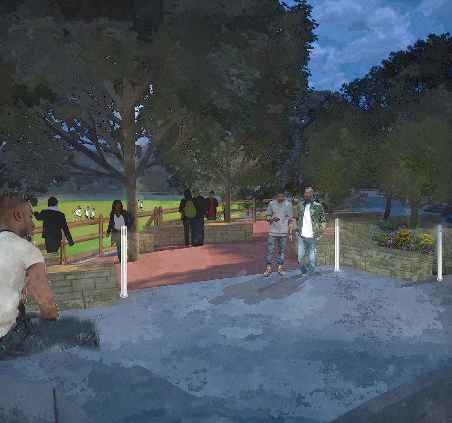
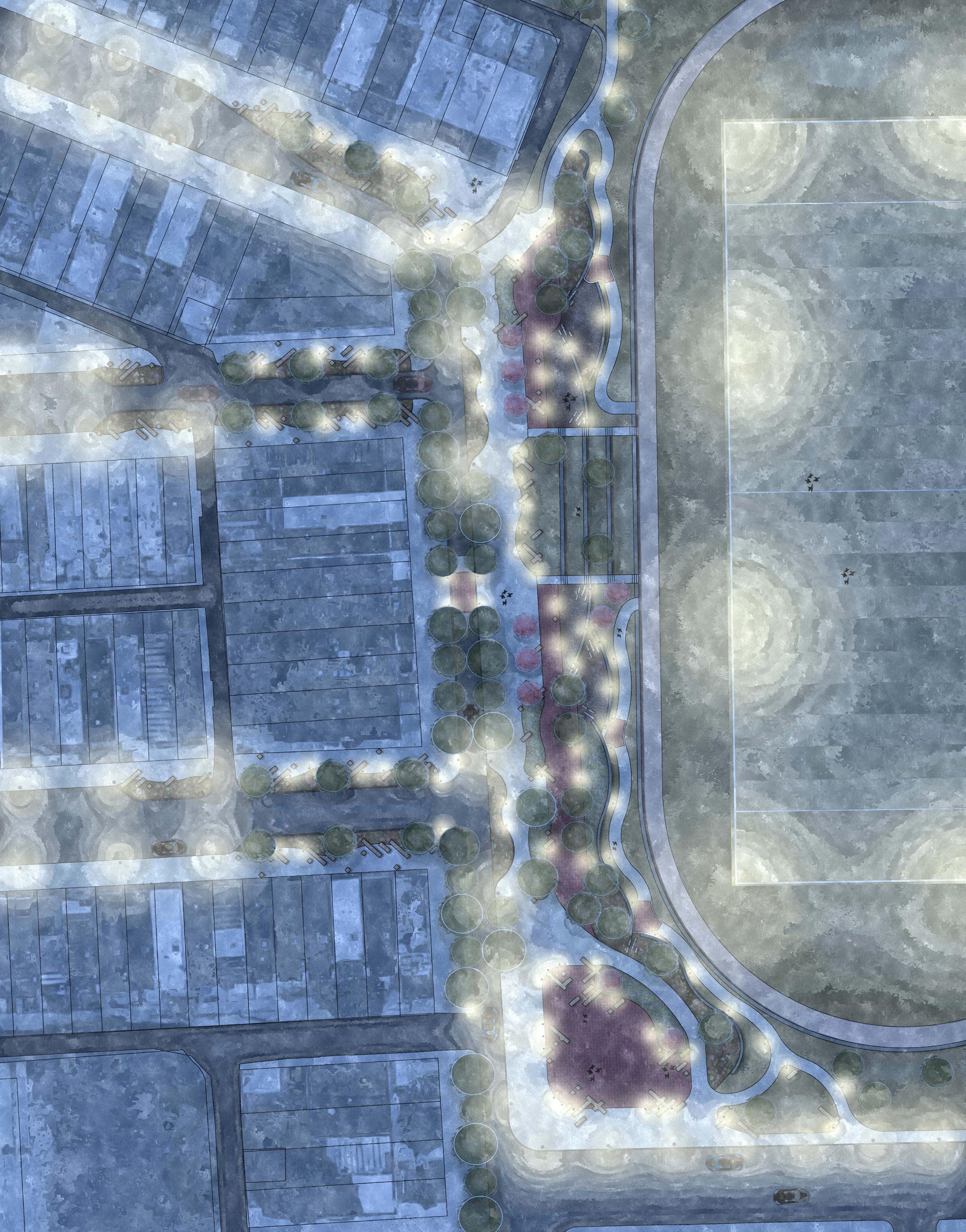
My strategy for this design involved restructuring an existing convergence point in the neighborhood. The design focuses on traffic calming, pedestrian access, connectivity, and stormwater management. Providing new social spaces for the community was incredibly important, as there is only one area within the community for social activities.
This challenge of this studio was to provide unique and feasible designs that consider materials, design complexity, and community input for implementation.
21
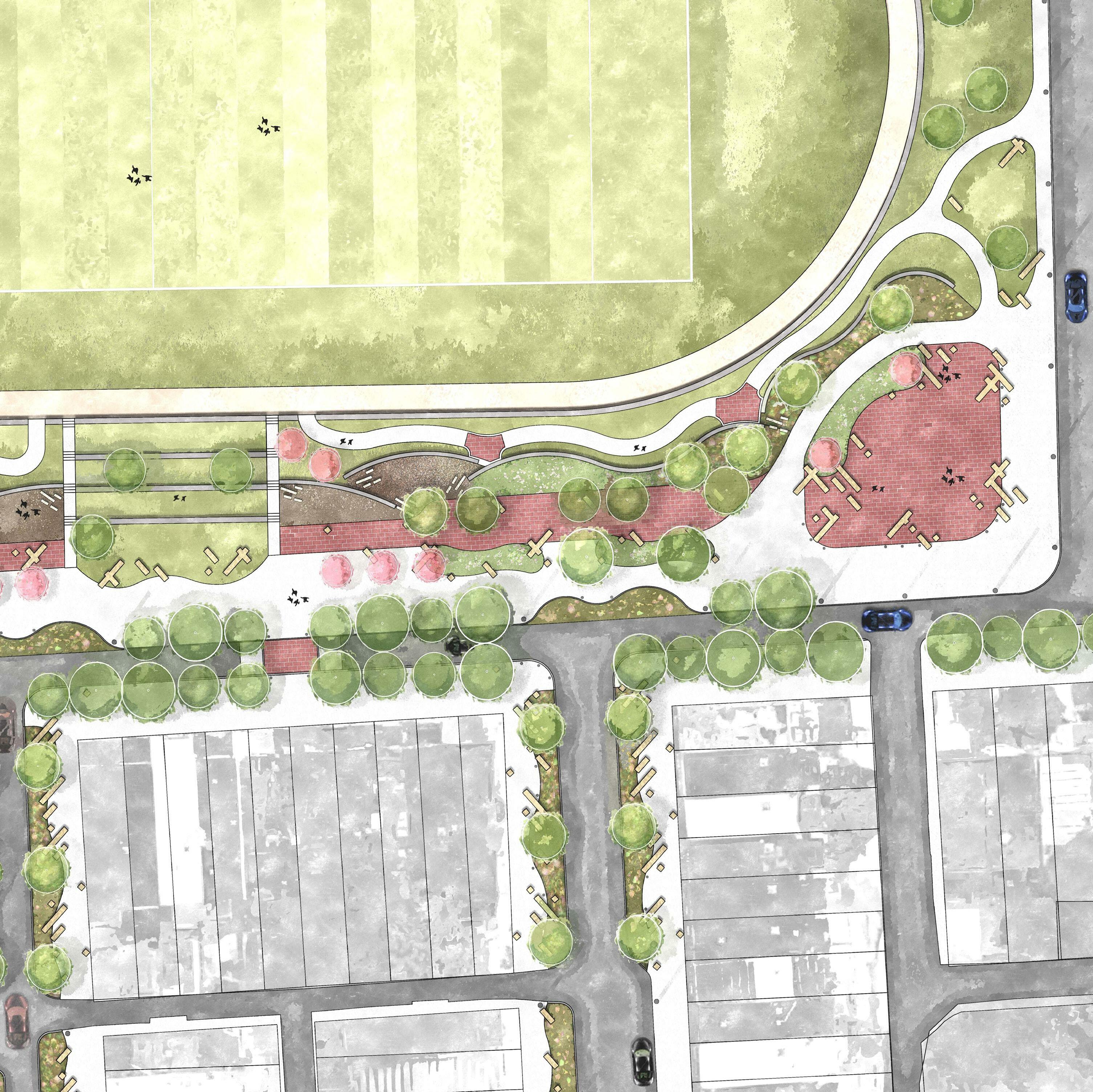
This design studio was driven heavily on analysis of the neighborhood and surrounding context. My analysis uncovered a lack of connectivity, ADA accessibility, and green spaces in and around the community. Stormwater became a method of implementing various ecological features that included species variation, increased tree canopy, and methods of stormwater runoff collection and infiltration.
23
24 ACER RUBRUM RED MAPLE 27.6% PYRUS CALLERYANA CALLERY PEAR 11.8% LIRIODENDRON TULIPIFERA TULIP POPLAR 5.5% GINKGO BILOBA GINKGO 4.7%
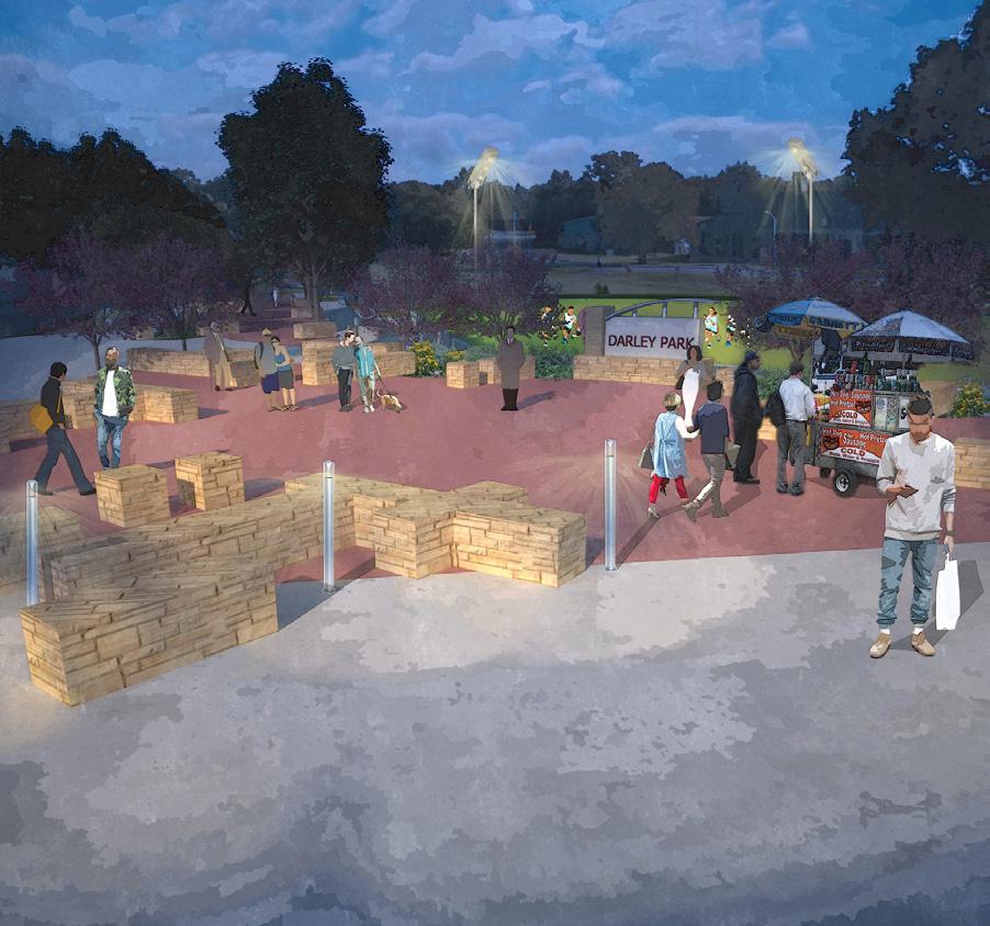
A major aspect of the accessibility component involved the consideration of lighting and use of spaces at various times throughout the day and year, regardless of seasons. The key spaces within the design are made to be used often, with safety and access at the forefront of its creation.
25
26
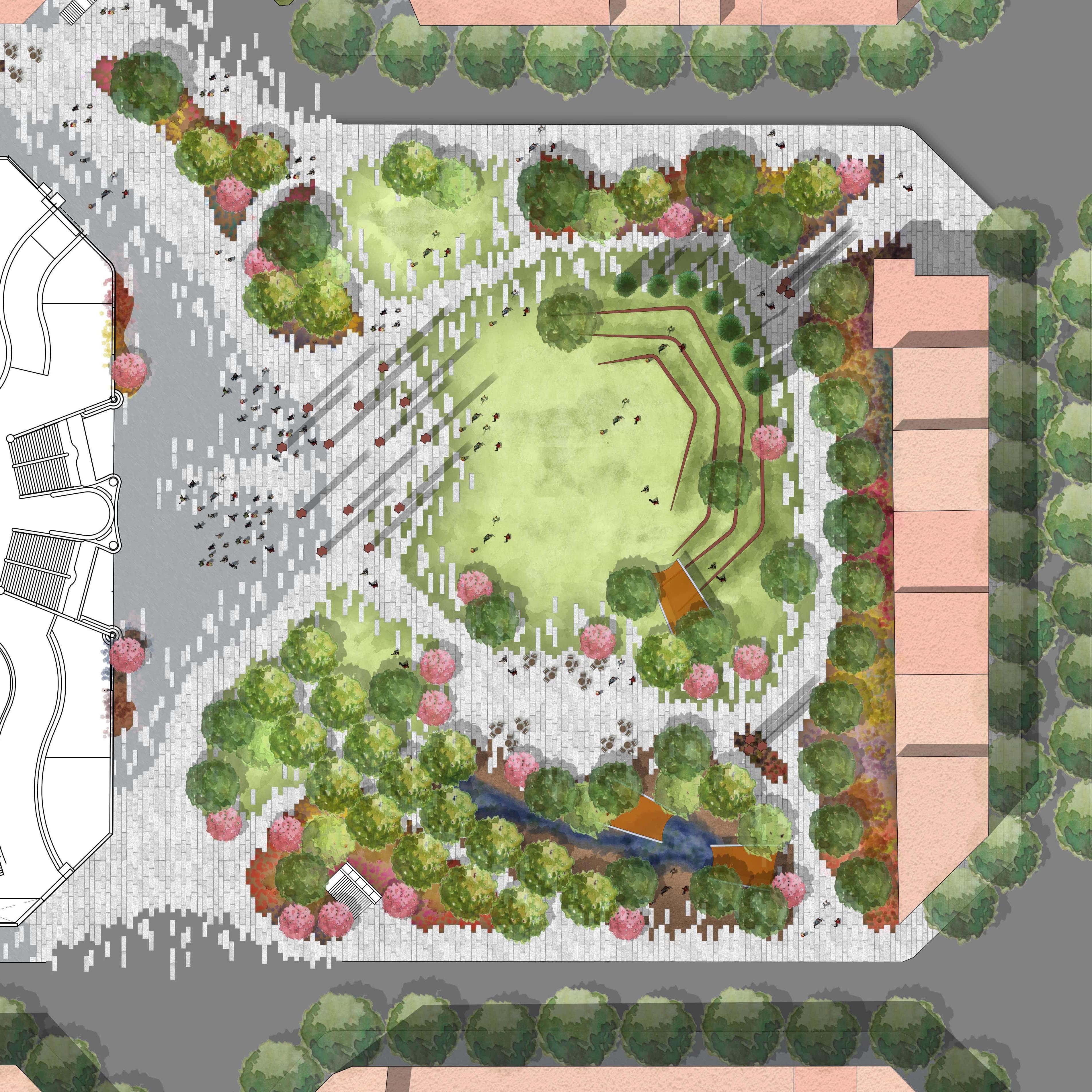
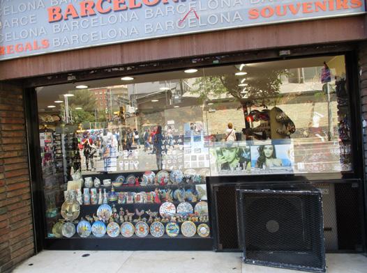
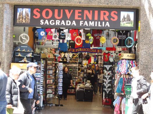
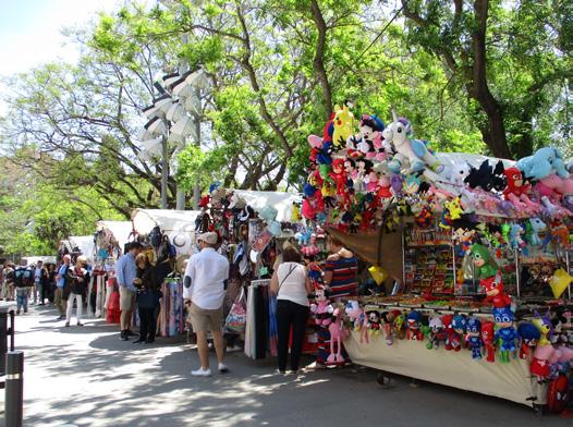
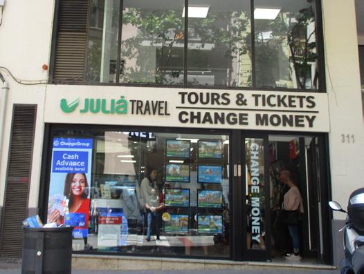
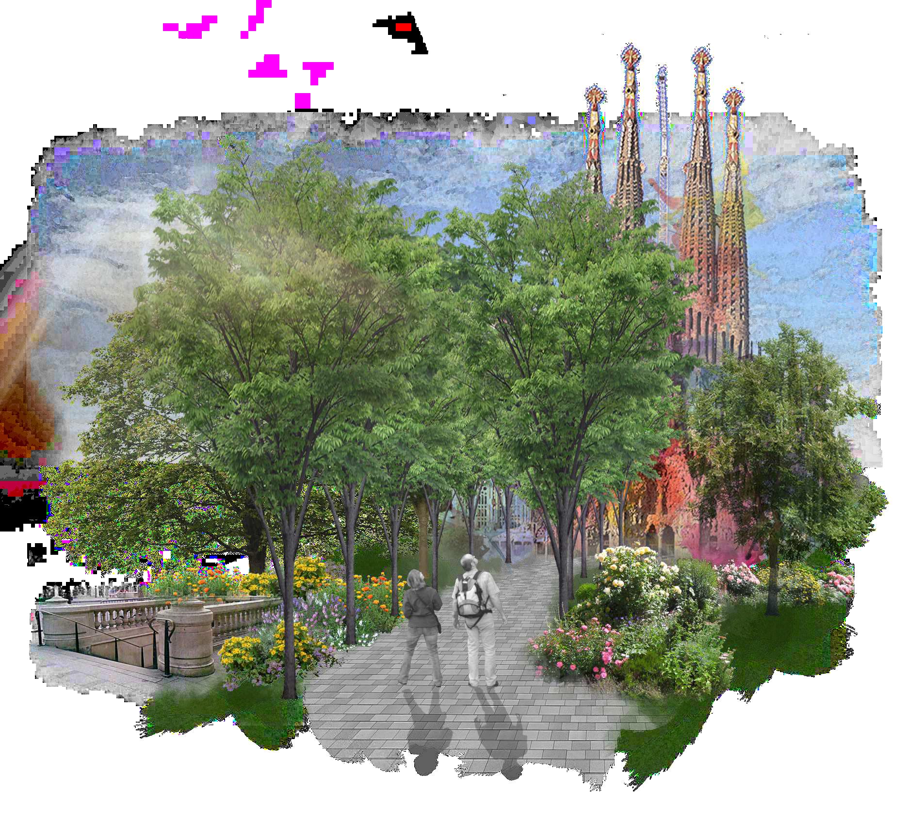
SYMPHONY
Date: Summer 2019
Type: Education Abroad: Foreign Studies
Location: Barcelona, Spain
Size: 3 acres
Tools: AutoCAD, SketchUp, Photoshop
Description:
The basis of this studio was to push students out of comfort zones with design, giving students challenging design goals and promoting unique design strategies.
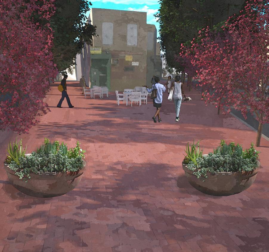
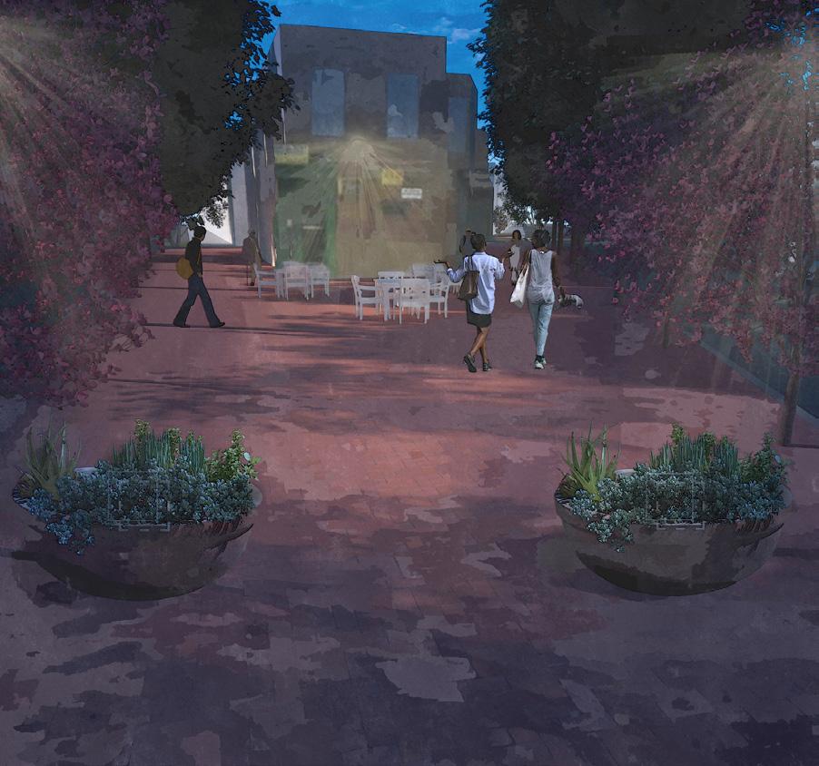
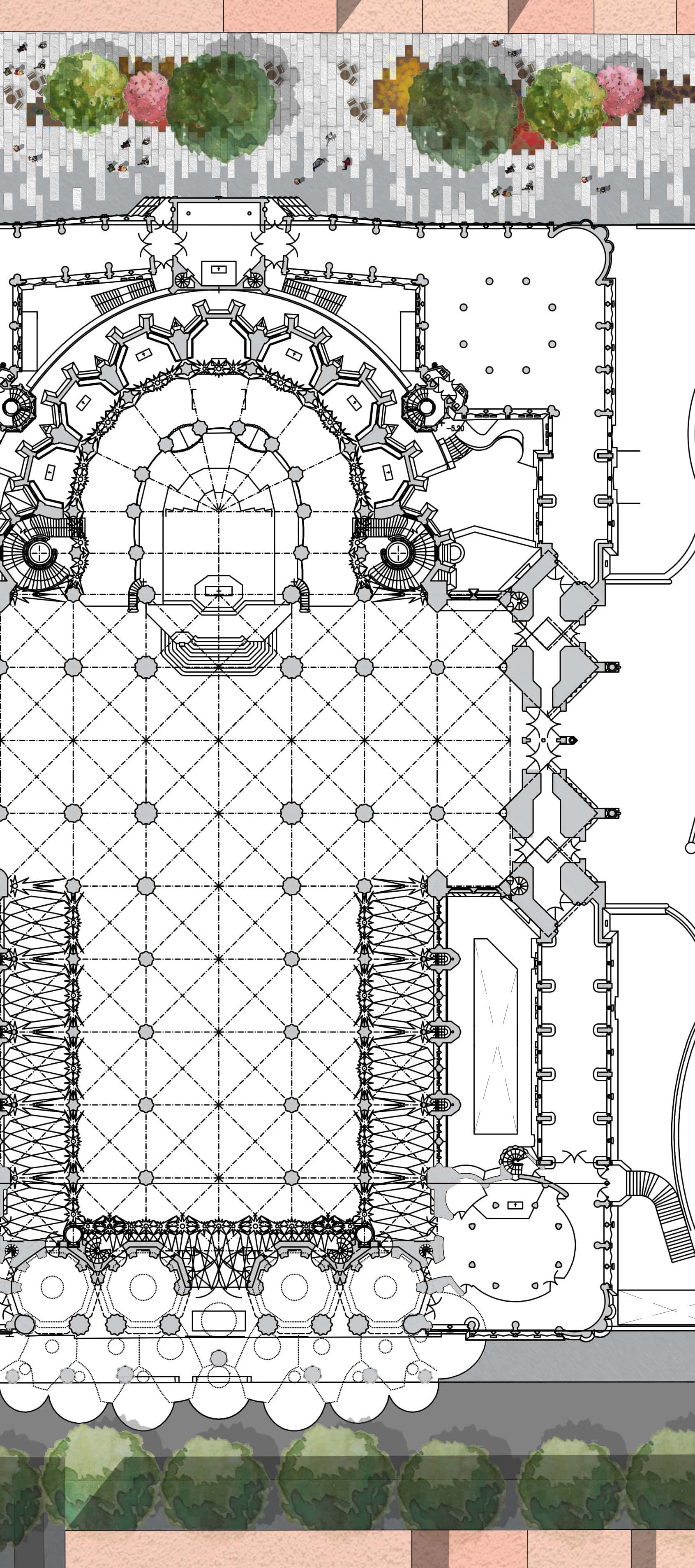
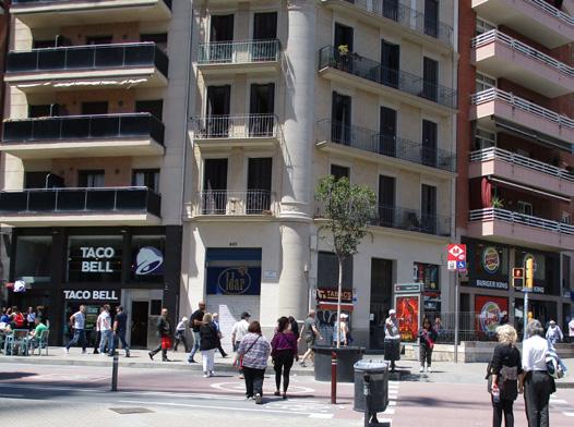
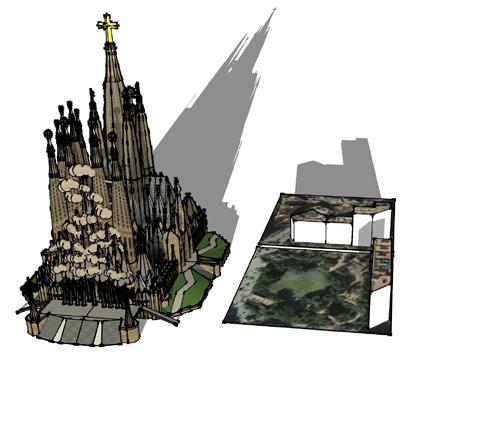
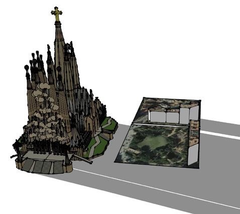
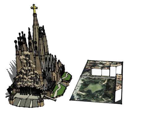
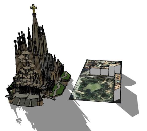
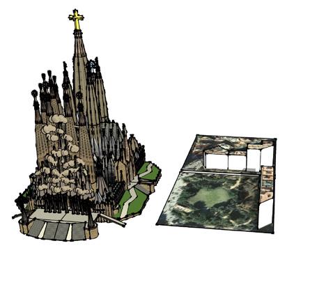
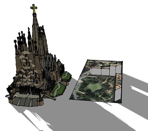
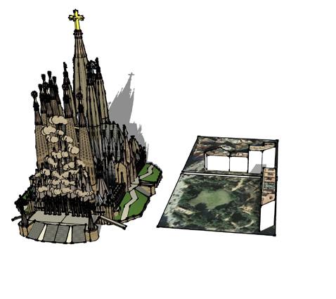
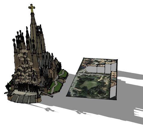
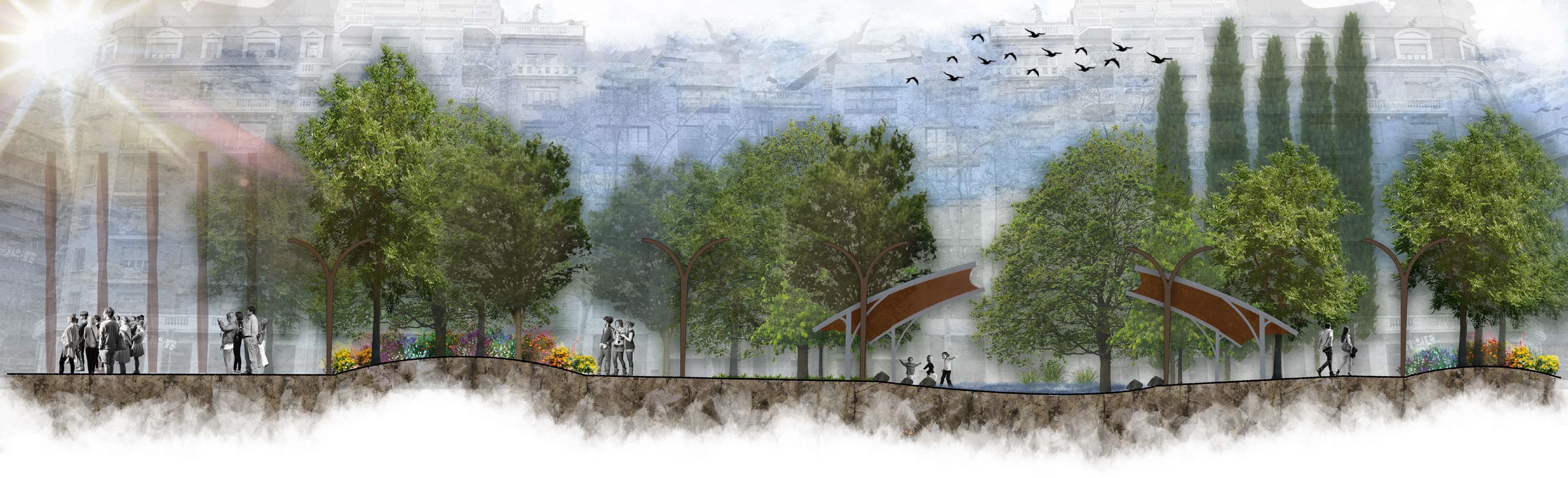
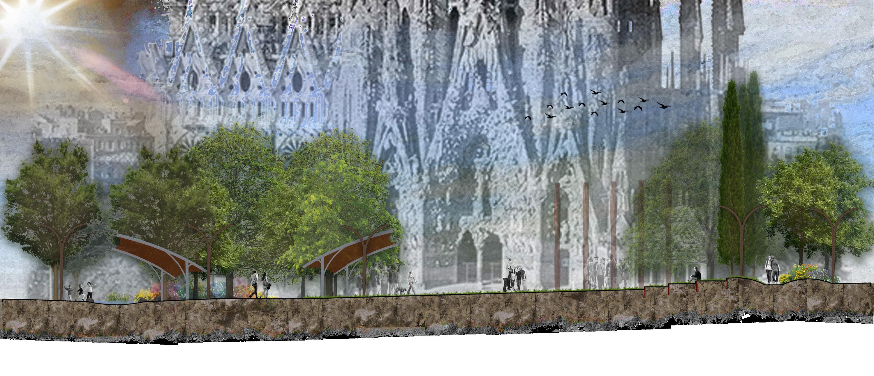
My design for this project included the integration of pedestrian streets, addition of new open spaces, and the buffering of unwanted tourist attractions near the Sagrada Familia. I worked to provide new spaces for the various user groups that gather around the area. This became difficult when attempting to grasp the large volume of visitors to the site and surrounding area of Barcelona. The design creates interest on both the horizontal and vertical surfaces through materials and species selection.
27

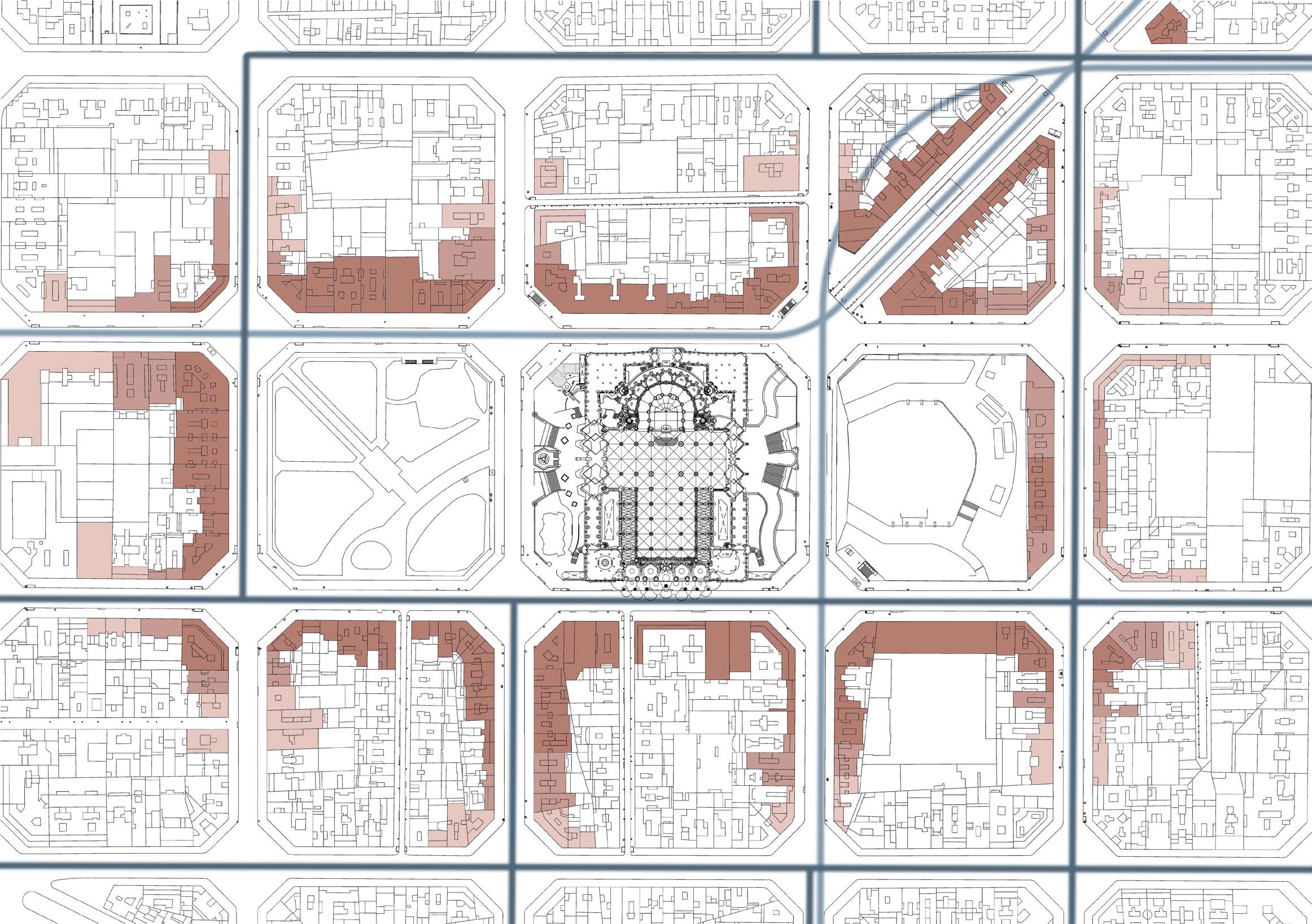


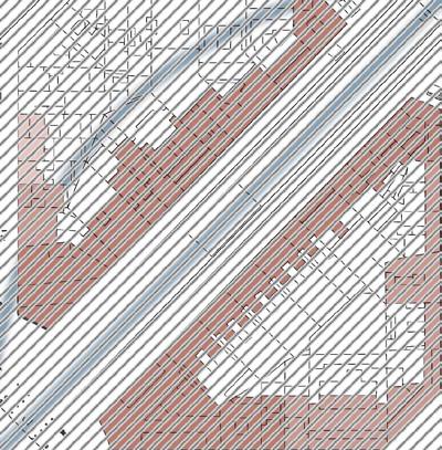

Highly Touristic Touristic Less Touristic 29
Abstraction was a major feature of this design studio, where my design was driven by the array of colors on the stain glass windows of the Sagrada Familia. This drove the construction of the plant palette and spatial arrangement of the design.

30
31
32
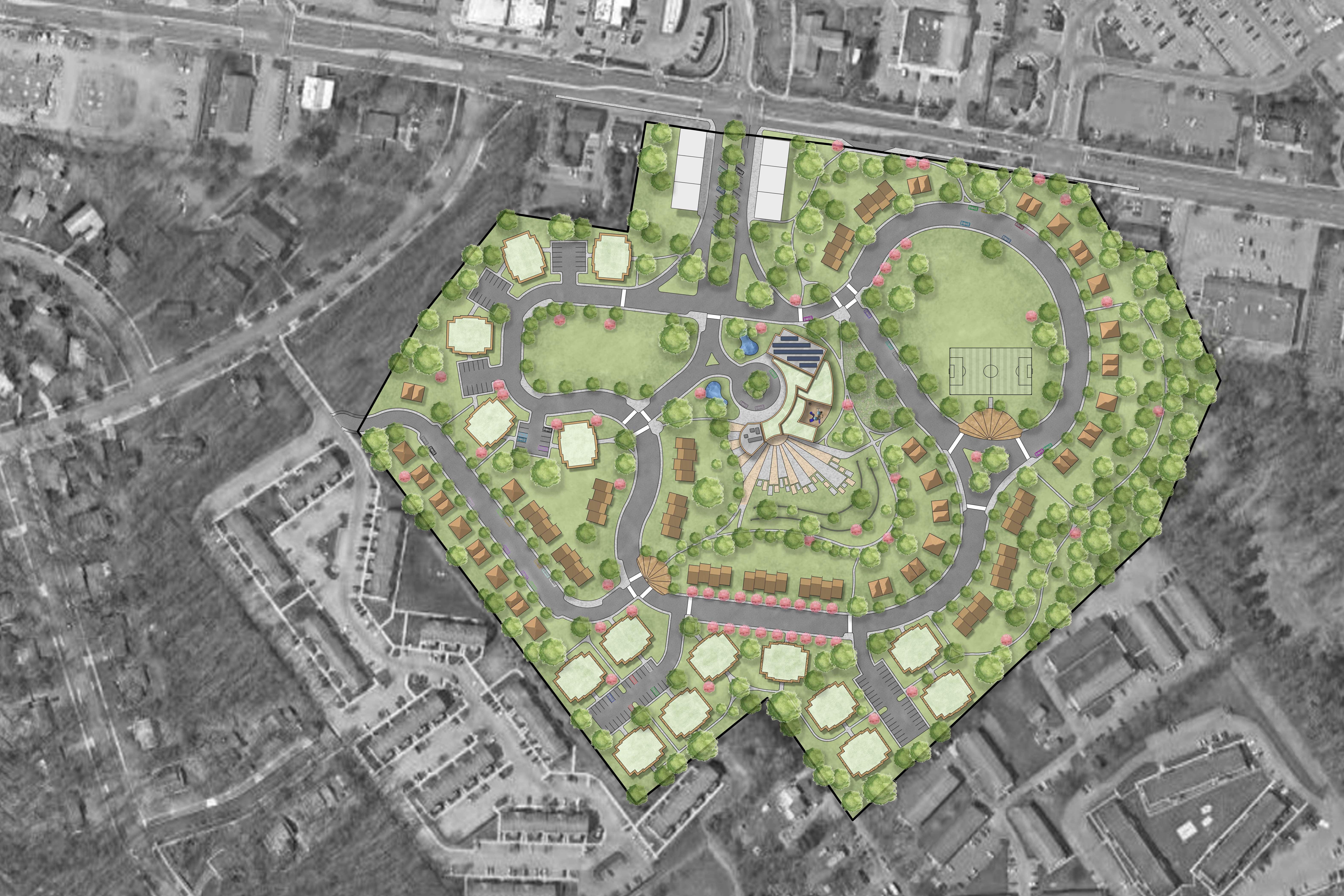
METAMORPHOSIS
Date: Spring 2019
Type: Design V: Community Design
Location: State College, PA
Size: 32 acres
Tools: AutoCAD, SketchUp, Lumion, V-Ray, Photoshop
Description:
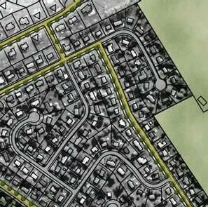
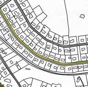
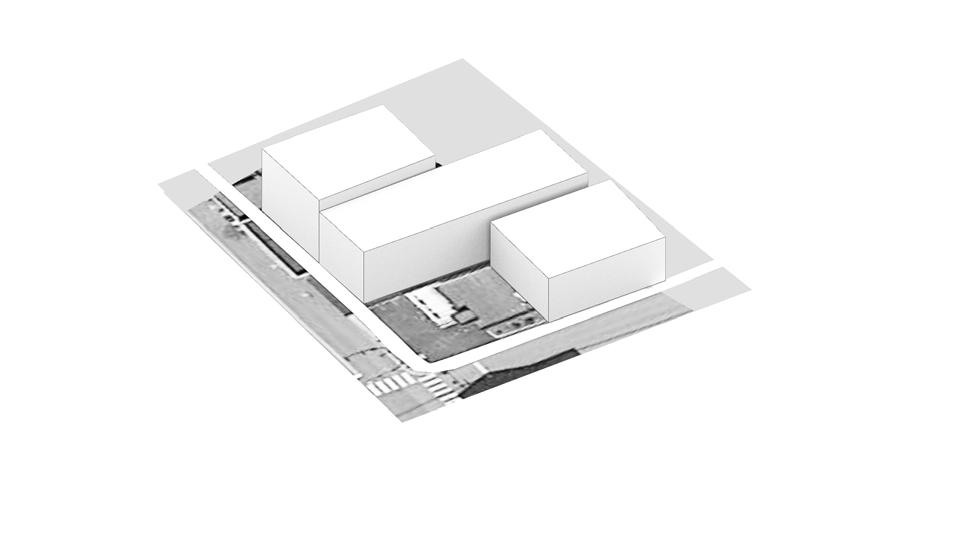
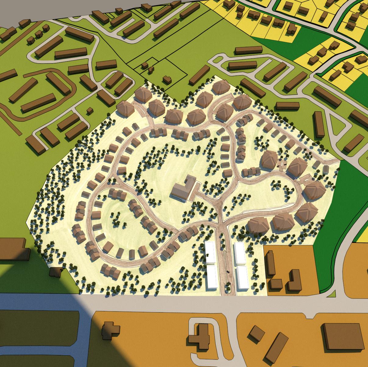
The goals for this project involved the design of private through public spaces, thinking about how people view personal spaces versus public community spaces. Designs were to focus on housing and land use types, community spaces, parking, and existing conditions.
My design strategy for this project focused weaving of spaces and access within the project boundary.
33
Designs for this studio began with the intention of iterative schematic scenarios that considered a range of designs and configurations. This iterative process allowed students to explore the opportunities and constraints of each design scenario, with the intention of developing a successful final design from the scenarios.
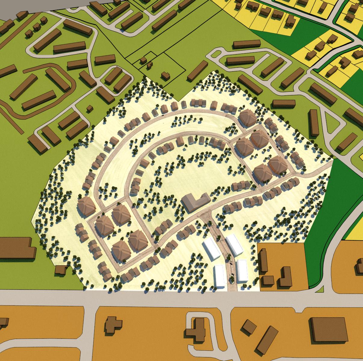
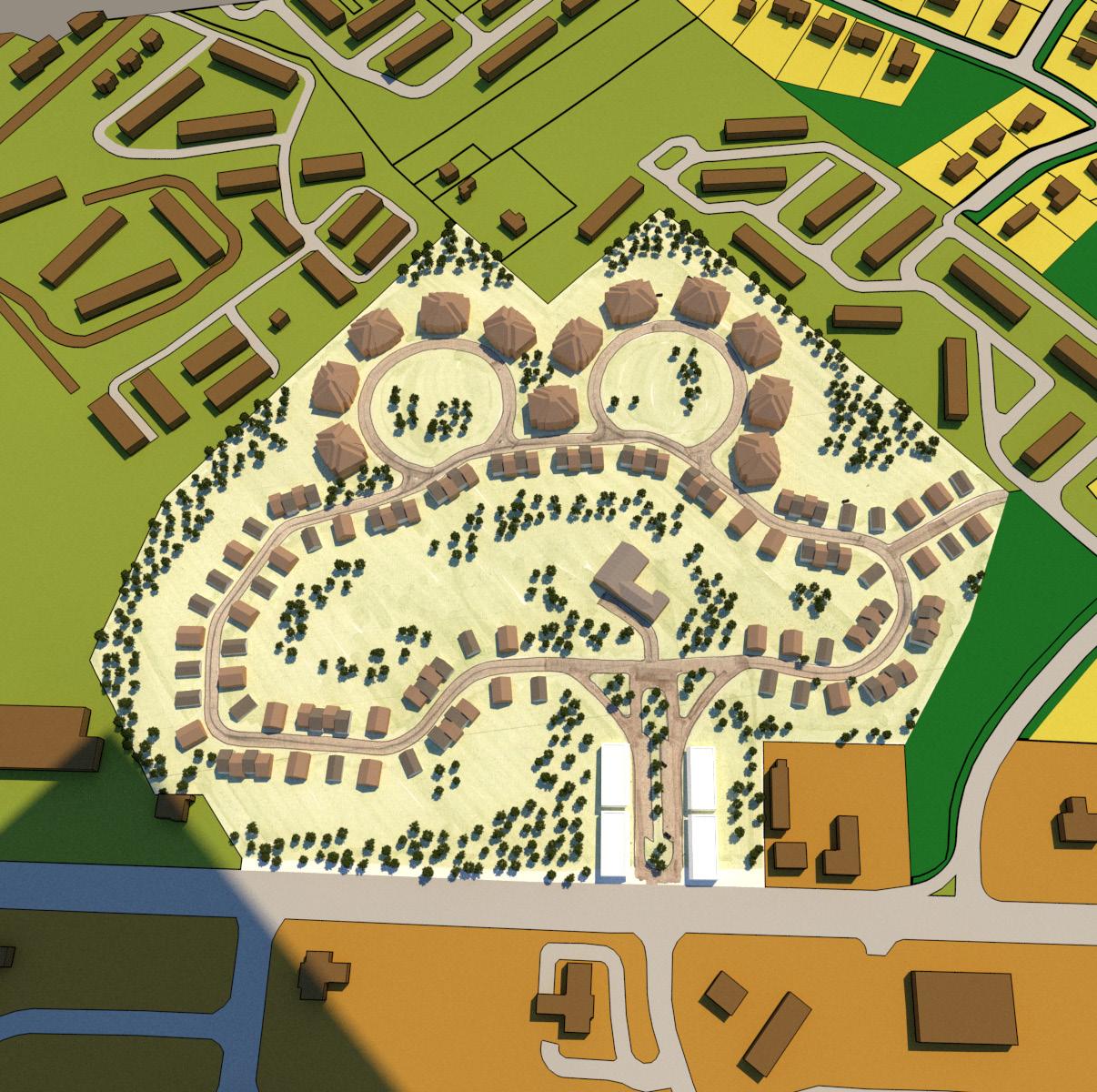
35
36
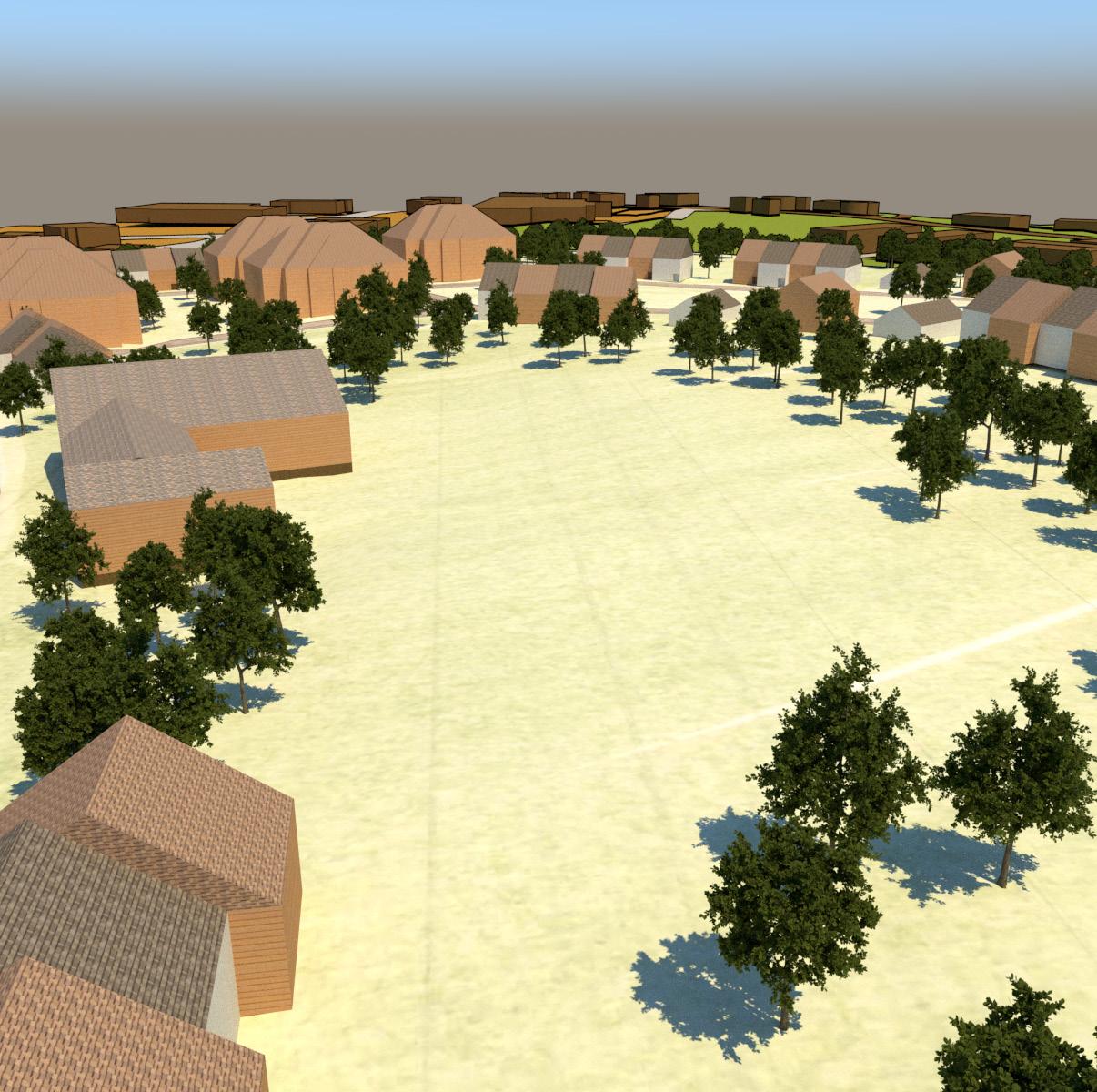
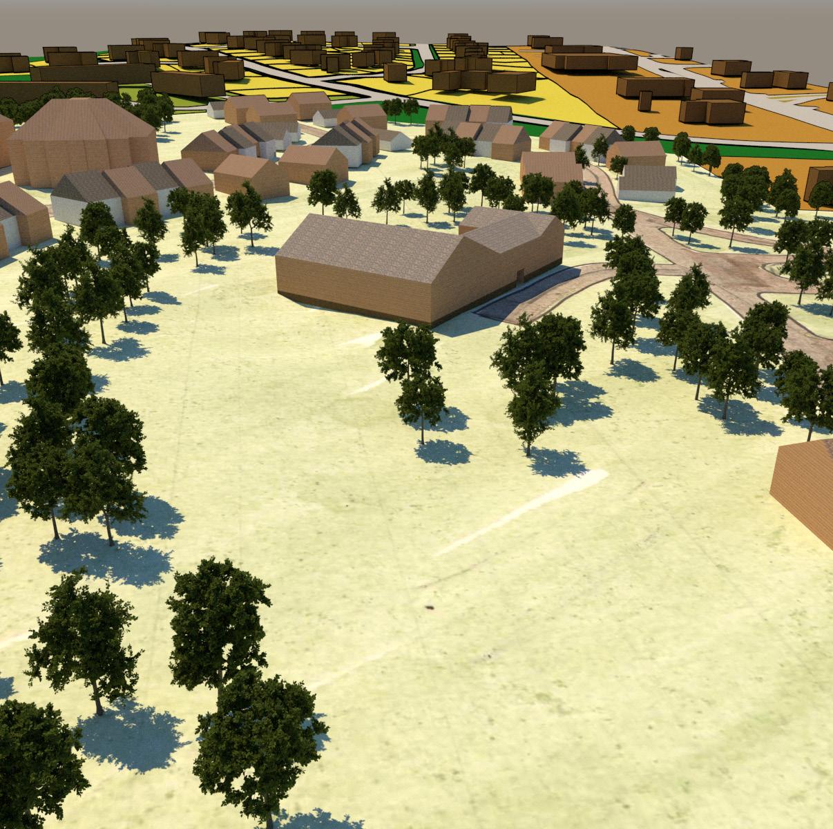
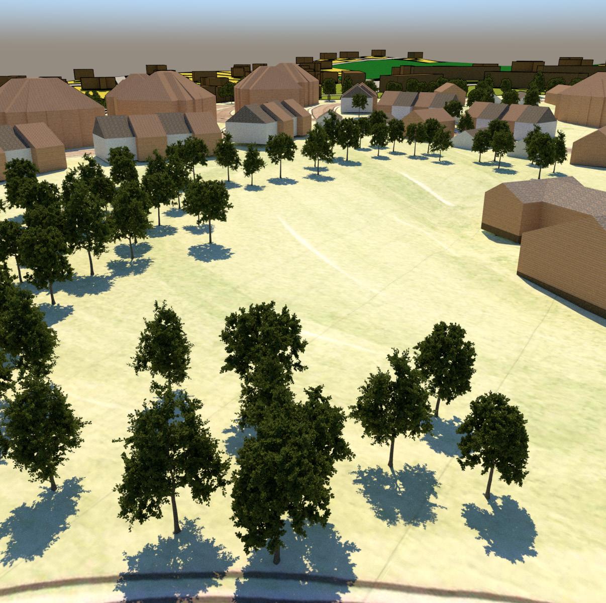
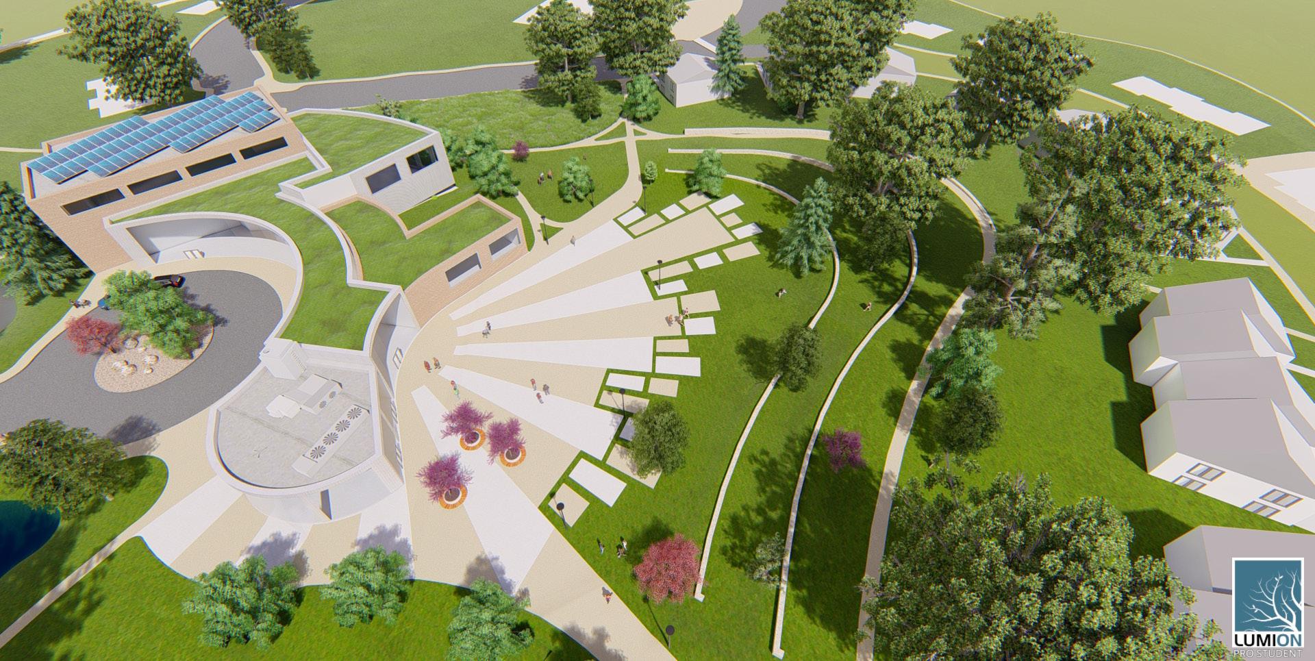
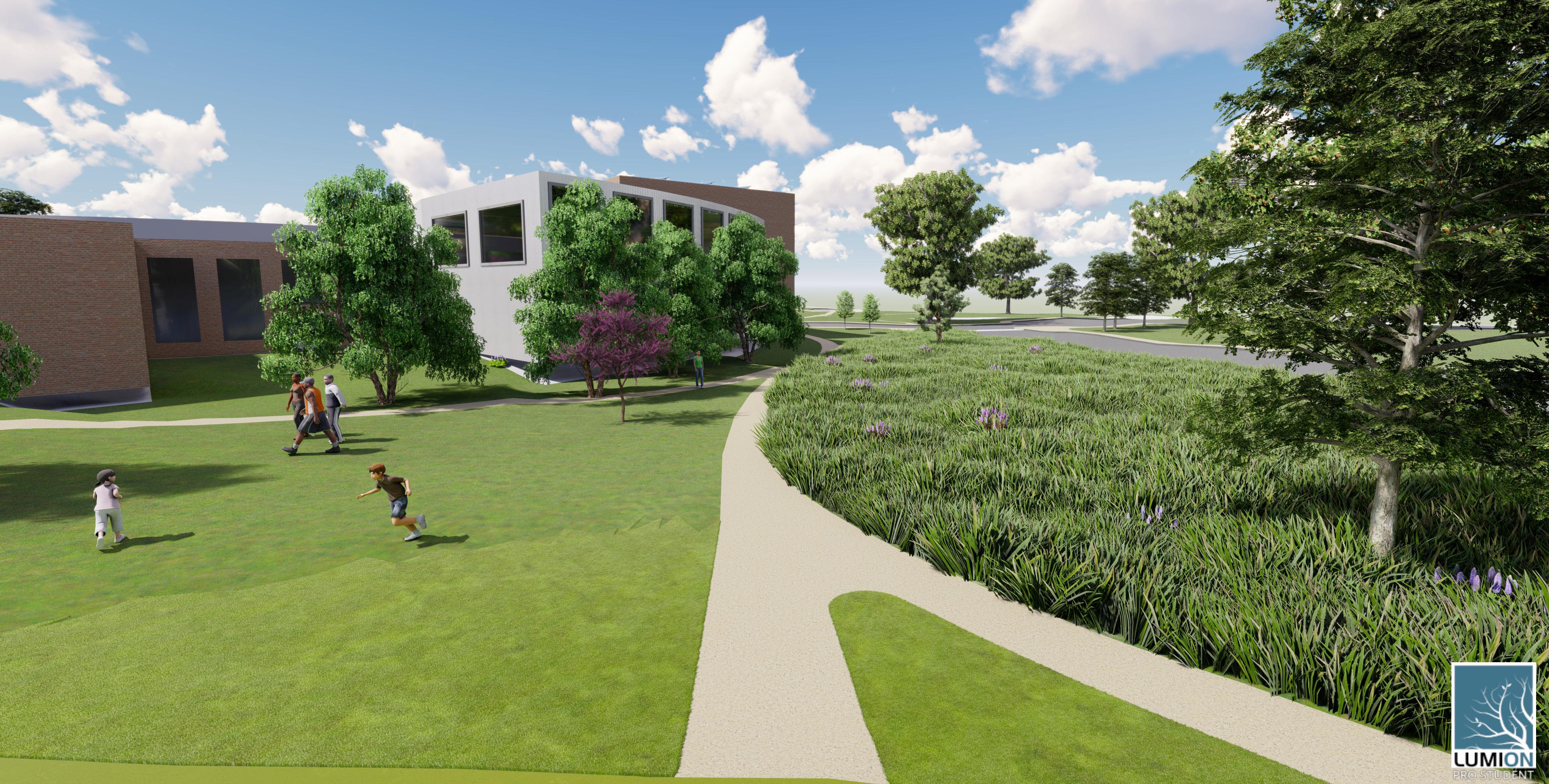
A key component of this design studio involved an in-depth development of the primary social space within the community location. My design focused on accommodating the change in elevation, transition from private to public space, and design of the community center specifically.
37
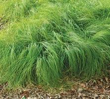
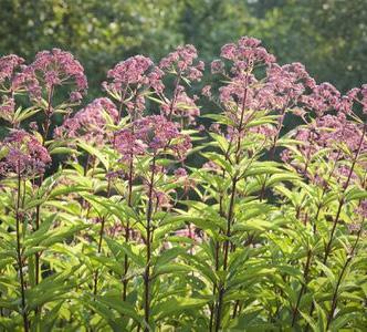
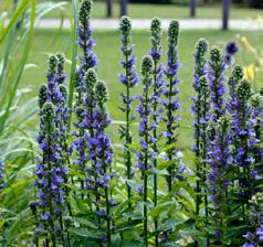
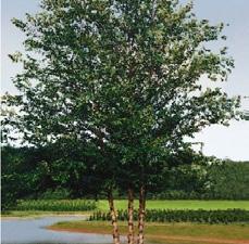
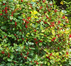
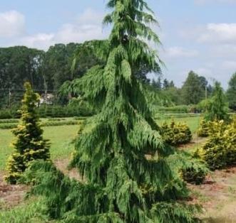
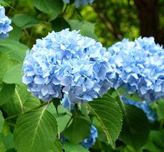
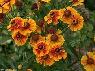
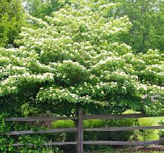
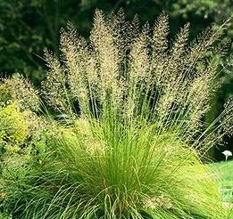
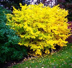
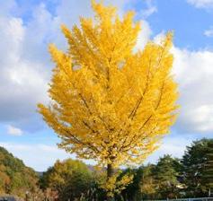
B l u e JointGrass - Calamgrastiscanade n s i s P e n nsylvaniaSedge Carex pennsylva n c a R i v erbankWildRye Elymusriparius F o wl Bluegrass Scirpus cyperinus J o e PYe Weed - Eutro chium purpureu m B l u e CardinalFlower Lobeliasiphilitica River Birch BetulaNigra RedOak Q uercusrubra S pike Winterhazel Corylopsis spica ta BlackGum N yssa Sylvatica EasternWhite P ne Pinusstrobus Forsythia - Forsythia intermedia GreenBulrush Scirpusatrovire n s Zelkova Zelkova serrata L i t t l e Bluestem - Schizachyrium scopar iu m Winterberry I ex verticillata peeW ni g A l askanCypress Chamaecyparis noo t k a t e sisn H ydrangea Hydrangea macrophy lla Sneezeweed Heleniumautum n a l e A t e rnate LeafDogwood Cornus alternifo i a P r ai ri e Dropseed Sporobolusheterolep is Spicebush Linderabenzoin Ginkgo Tree Ginkgobiloba ClematisC l em a t si anatnom Sel n d e r MountainMint Pycnanthemum ten u i f o i u m Musclewood Carpinuscarolinian a F e ather Reedgrass Calamgrostis acut i f o r a Virginia weets pire iteavirginica EasternRedbud Cerciscanadens is Red osierDogwo od Cornus serice a eN w E n glandAster - Sym phyotichum novae a n ig l ea StripedMaple Acer pensylvanicu m BlueFlag Iris ris versicolor TulipPoplar Lir odendrontulipifera Weigela Weigelaforida A m ericanBlue Vervian Verbena hosta t a 38
DESIGN IMPLEMENTATION
Date: Integrated
Type: Construction Documentation, Planting Methods, Site Grading & Stormwater Management
Location: Varies Tools: AutoCAD Description:
Design implementation courses are a major component of the curriculum at Penn State. Understanding the process of calculating and refining design ideas is essential for successful design. Learning the processes of compiling construction documents, implementing robust planting strategies, and calculating slopes and stormwater runoff foster more outstanding designs.
As each phase of implementation is completed, it is expected that students use this coursework to finalize designs, and even understand the processes of design through such implementation strategies. This expectation creates more well-rounded designs and more feasible design outcomes.
39
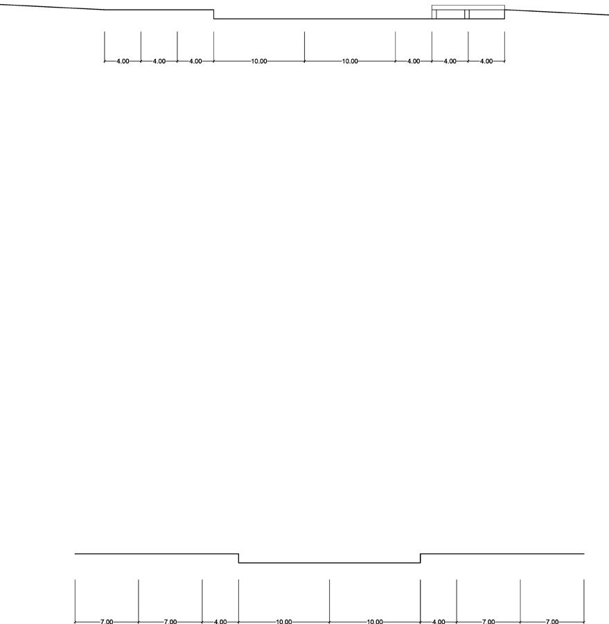
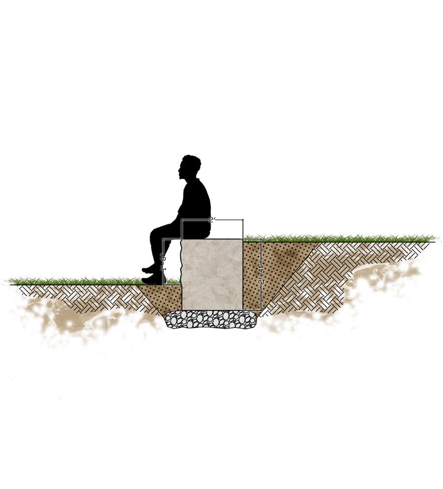
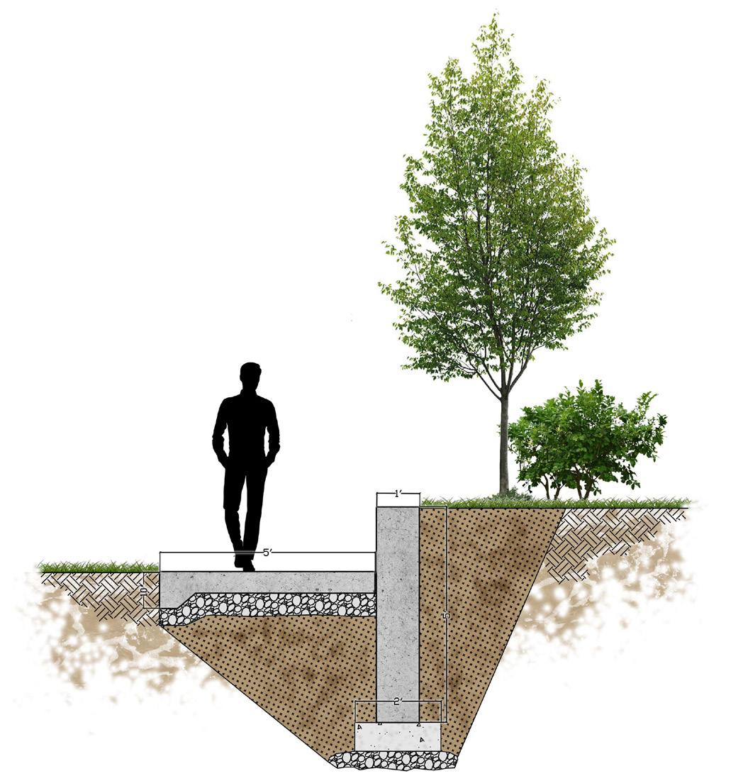
The plans and details on these sheets were part of a materials and documentation course. We spent the semester creating our own designs, while simultaneously understanding and learning the layers and materiality of that design.
40
The graphics above were part of a planting studio, where we looked at the design of a plaza space using innovative design strategies (Silva Cell) and conducting calculations to understand the design. The plan to the right demonstrates my final design for a stormwater studio, with bioretention and grading.
41
42
LANDSCAPE ARCHITECTURE PORTFOLIO THE PENNSYLVANIA STATE UNIVERSITY jj.monte413@gmail.com 570.677.8191 issuu.com/jj.montefour Thank You
