2 minute read
2.2 Low tide and rising tide surveys


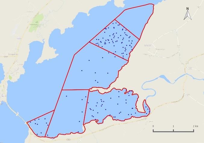
Figure 2-1. The study area in Borgarfjörður covering the estuarine part of the Andakíll Ramsar site. The subsite boundaries are show as red lines and vantage points used as green dots. The dashed black line shows the boundary of the Andakíll Ramsar site. The arrows represent the approximate areas covered from each vantage point. Subsite Est 6 was surveyed from the 24
th April onwards.
2.2 Low tideand rising tidesurveys
A combination of low tide and rising tide waterbird surveys covering the main part of Borgarfjörður and Kistufjörđur were undertaken between 12th March and 25th October 2017 by two observers to determine waterbird distribution and abundance at low tide, when the intertidal flats are exposed and available to feeding waterbirds; and rising/high tide, when most birds are at, or moving to, their high tide roosting areas.
One low tide and one rising tide survey was undertaken in each week. Low tide surveys were used to establish the main feeding distributions of waterbirds and were carried out within a four-hour period, starting two hours before low tide and being completed within two hours after low tide. Rising tide surveys were used to establish waterbird distribution in the period before high tide, when waterbirds are congregating to roost. Surveys commenced three hours before high tide and were completed by high tide.
Surveys were carried out in daylight between the hours of 07:00 and 22:55. On each survey, the date, survey type, surveyors present, start and finish times, tidal state and extent of coverage were
recorded. Weather and visibility were recorded by assessing ice coverage, rain, wind and cloud cover (see Appendix 2 – Field recording forms).
In order to facilitate the interpretation of the count data, waterbird species were divided into three groups, wildfowl and allies, waders and seabirds, and the following families were recorded:
Wildfowl and allies: Gaviidae (divers), Podicipedidae (grebes), Phalacrocoracidae (cormorant), Anatidae (swans, geese and ducks).
Waders: Haematopodidae (oystercatchers), Charadriidae (plovers and lapwings), Scolopacidae (sandpipers and allies).
Seabirds: Procellariidae (fulmar), Laridae (gulls and terns) and Stercorariidae (skuas/jaegers).
Waterbirds were recorded within four habitat categories: intertidal, subtidal, supratidal and terrestrial (Table 2-2).
Table 2-2. Habitat categories used when recording waterbird and seabird location.
Zone Description
Intertidal Between the mean low-water and mean high-water lines, i.e. the area uncovered by the tide during the survey, usually dominated by mud or sand flats or rocky shores. Subtidal Area covered by water, i.e. offshore areas and pools and channels within the intertidal area. Supratidal Shore and habitats immediately above the mean high-water line. Terrestrial Above the intertidal and supratidal levels, and having no, or weak coastal influence, e.g. agricultural land.
The behaviour of all waterbirds was recorded as either ‘feeding’ or ‘roosting/other’. Birds that were not actively foraging (roosting, loafing, or engaged in social interaction) were recorded as ‘roosting/other’. The locations of all aggregations of waterbirds and seabirds were mapped on a fieldmap (see Appendix 2 – Field recording forms). During rising tide surveys, the location of all aggregations of roosting birds was recorded. All activities and/or disturbance events and their duration were recorded. The presence of birds of prey were also recorded, whether they caused disturbance to waterbirds or not.
Equipment used for fieldwork included:
• binoculars (Zeiss Victory 8 x 42, Zeiss Dialyt 10 x 40 B) • telescope and tripod (Swarovski ATS-65 HD 20-60 x 65 mm, Hawke Endurance 16-48 x 68) • clicker-counter • WeatherWriter clipboard • bespoke Field recording forms and subsite-level fieldmaps (see Appendix 2 – Field recording forms)