

 A Hike to the Edge


In February 2020, the Hong Kong government closed the main cross-border ports with Shenzhen, leaving only one passenger checkpoint each for sea, land, and air transportation, as well as a few necessary cargo checkpoints.
In February 2021, I traced the border along the Shenzhen River on a map, found its narrowest point, where I will meet my friend from the other side.

Our plan was to take minibus No. 56 from Fanling along Sha Tau Kok Road, drop off at Shek Kiu Tau, from which we would hike up Ma Tseuk Leng, Hung Fa Chai, and all the way north and down to Lin Ma Hang village. Behind the village lies a narrow path of around 400 meters that, on the map, appears to touch Changling village on the other side.


My curiosity for the border started at Luohu/Lo Wu. I remember Luohu’s checkpoint building as a megastructure –like a gigantic machine – as if I am put on a conveyor belt, among with thousands of others, wriggling against each other yet also towards the same direction. Our luggage wheels roll past express deliveries, currency exchanges, fruit shops, and musty record stores. We squeeze into a greyish room in which we line up for hours, recycling our breaths.


Once across the customs’ line, everything appears anew: the characters of the shop signs, the language at the broadcast, and even the floor tiles look different.
The most striking memories are the few minutes on the platform of Lo Wu before train arrrives, with a vast landscape of mountains fully in green in front of my eyes, as if all the pushing and wriggling of the past few hours are left to the other side. Somehow time paces differently on the two sides.
Those from earlier generations probably have different feelings about the border. I heard of the story of my uncle attempting to sail across the sea, with a pair of ping pong rackets as paddles. At those times, there weren’t any highrises on the northern side, while the watchtower on the southern side were running day and night. That would have been a completely different experience from mine. So time does pace differently on the two sides.


Sheltered from the prevailing sea breeze, these hills provide a panoramic view towards the north. We followed the ridge northwards and soon arrived at an obsolete watchtower.


I could tell from the wire mesh and intermittent phone signals that we were close. We took out our monocular and aimed its tiny lens at a row of buildings afar.

On one of them, at the rooftop, where the water tank cast its shadow – showed up two tiny dots, moving, one in black and the other in white.

As we approached, the dots grew bigger and bigger, generating limbs, followed by the faces,

and suddenly, I heard someone calling my name —


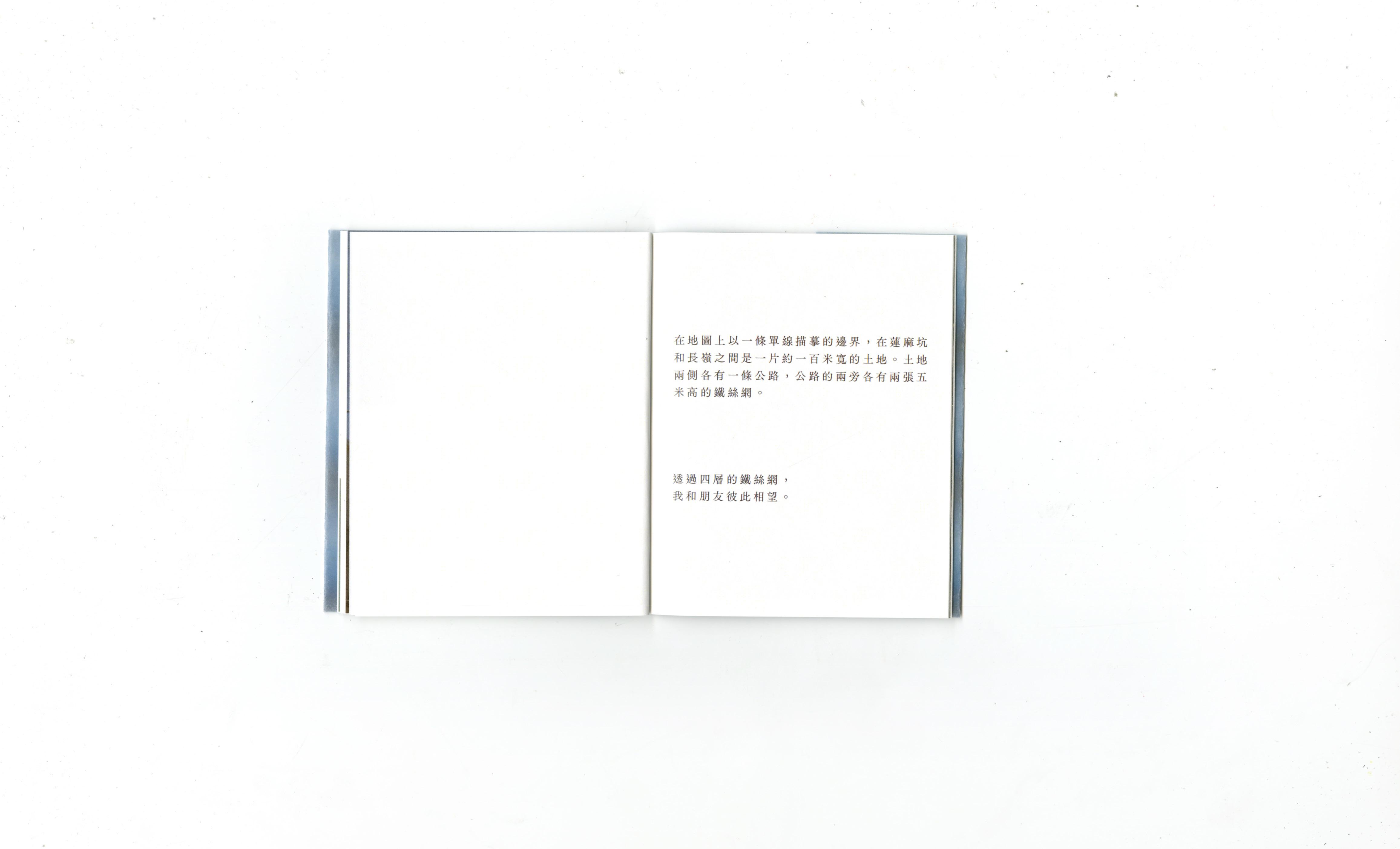
Drawn as a single line on the map between Lin Ma Hang and Changling village, the border in reality is a strip of land around 100 meters in width, marked by two roads on each side. Each of the roads are closed off by two 5-meter-high wire fences.

We met each other across these four layers of fencing wires.


In between the wire fences is a strip of farmland. At its middle, a brook flows gently through. A hundred years ago, that brook marked off the boundary.
Since then, the southern and northern banks have, at their different paces, cultivated their own patterns of lives.


Later, from a webpage of Agriculture, Fisheries and Conservation Department, I learn that the brook is named Lin Ma Hang Stream, an “ecologically important stream”, home to some rare local fish species.
I begin to imagine myself as a fish in the stream, swimming freely, without needing to explain myself from “this” or the “other” side.

In other words, are we being stubborn to stick ourselves to the ideas of “border” and “territory”? After all, trees and brooks are free to grow and flow.


Hike: Laurene Cen, Micheal Du (Hong Kong) Ms. Wu, Shuo Zhang (Shenzhen)
Photos: Laurene Cen, Micheal Du
Text: Laurene Cen
Design: Laurene Cen

Special Thanks to: Ada Au, Sherman Lam, Nesie Wang, Crystal Yu
Printed in April 2023


