Portfolio
Lizaveta Chepikava


Design of a recreational zone in the existing green space
2022-2023
Urban design of new residential area
2023-2024

Lizaveta Chepikava


Design of a recreational zone in the existing green space
2022-2023
Urban design of new residential area
2023-2024


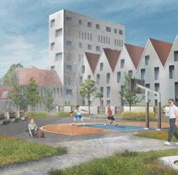


residential Adaptation of the design project for Belarusian context
Alternative Vision of District Development

The concept of suburbs quarter development in a new micro-district

Analysis and design of user paths through the micro-district
District No.22 in Soligorsk: livable urban environment in high density conditions
Step-by-step transformation of a urban block

Residential complex

Design of multi-layer memory of urban space
Project Timeline: [June 2022 – March 2023]
Location: [Belarus, Miensk]
Affiliation: [ALC Proektinzhstroy]
Developer: [Riverside development]
Project stage: [Implemented]
Role: [Author of the concept landscape specialist]
Design of a recreational zone in the existing green space

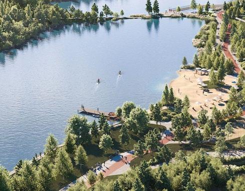
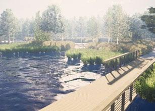
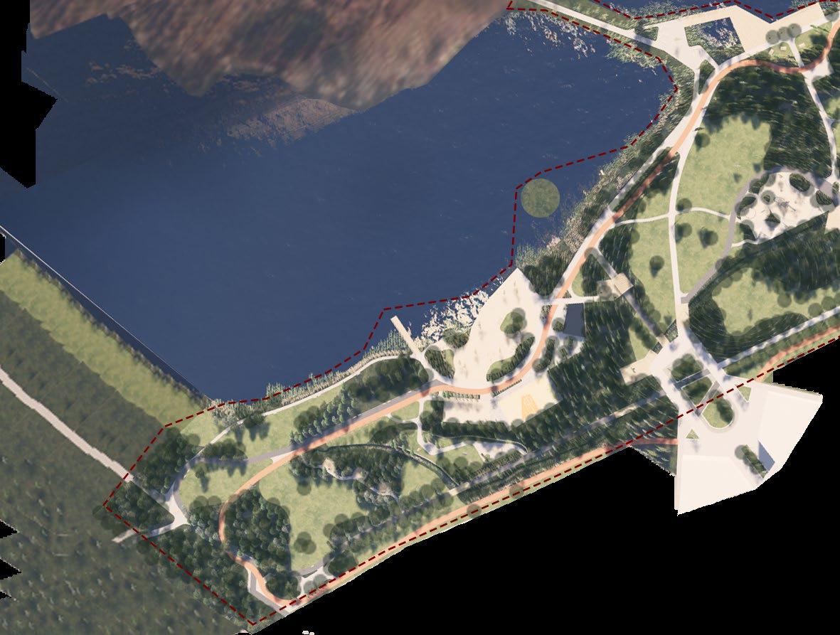
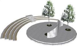
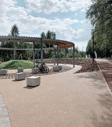
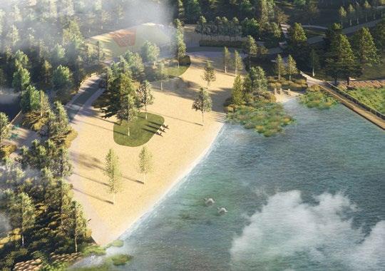
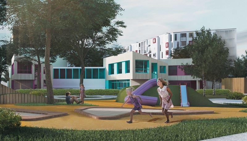
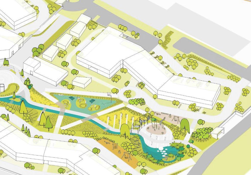
The territory along the storage lake was a forest strip and cultivated fields without any urban infrastructure. The task of the project was to make a park as an activator point from which a new residential area begins to be developed. Additional goals that was set by urban designers was to preserve the existing forest as much as possible and to integrate new functions of the place and new infrastructure into it without destroying the existing green context. Within the framework of the project, half of the park was designed and implemented, focusing on three main functional areas: a children playground area and an area for teenagers; an active recreation area that includes a scene, a beach, sports fields; and a recreation area near the water with large piers and hammocks.









Project Timeline: [December 2022 – present time]
Location: [Belarus, Miensk]
Affiliation: [ALC Proektinzhstroy]
Developer: [Riverside development]
Project stage: [In the process of implementation]
Role: [Urban design and landscape specialist]
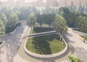
The project represents the beginning of a mega project to develop an area of 119 hectares. The project area is located within the Minsk ring road, which was previously an agricultural area. The project is being carried out in collaboration between Belarusian urban designers and architects and specialists and the UAE.
Urban design of new residential area
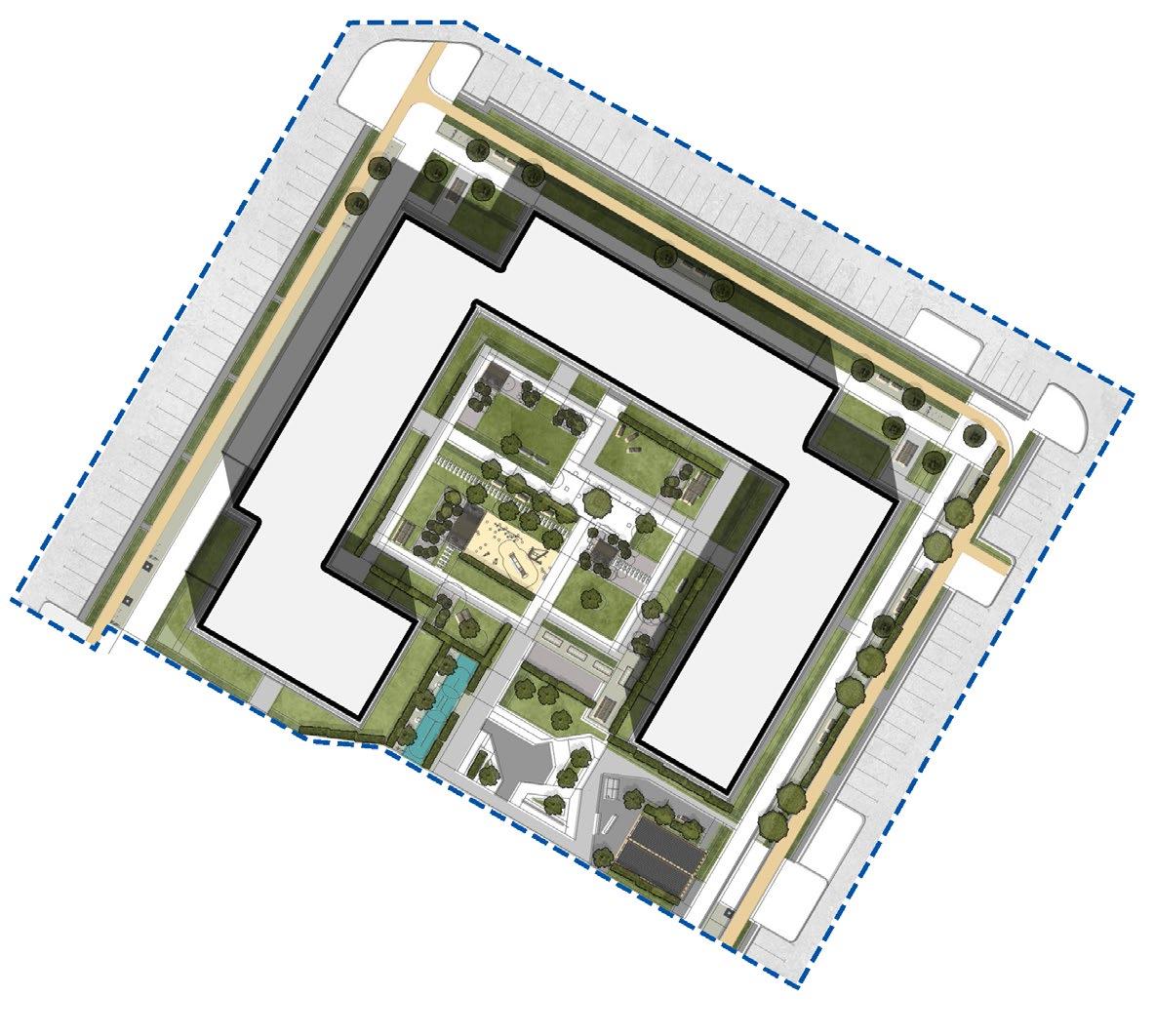
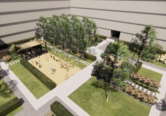
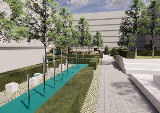
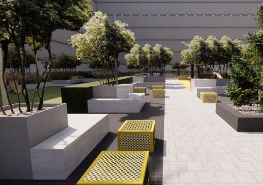
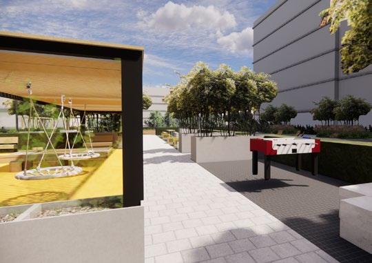
This project is a group of 10 blocks of a gated community. The entire development has a central core in the form of a main square, around which all commercial premises in the house are located. Along the park, the buildings consist of urban villas on stylobates.
In the urban design of each quarter, a minimalistic approach was chosen; however, a unique set of landscaping was selected for each quarter. Since the blocks are located next to a park with various functions, it was possible to maintain privacy and recreational functions inside the blocks. The exception is playgrounds for preschool children. Each block provides a site for the courtyard community and the organization of local holidays.
1 - passage to the park
2 - stairs with ramp
3 - children’s playground on the stylobate
4 - rest places
5 - entrance to closed parking
6 - open-air food courts
7 - stage for performances
8 - lawn for relaxation and picnic
District master plan Legend:
9 - boulevard with bicycle path
10 - children’s playground with a difference in relief
11 - bike path
12 - outdoor car parking

of Cycle Path


Housing typology
Residential buildings
Residential buildings with stylobate
Park area


Greenary Scheme








Project Timeline: [December 2021 – March 2022]
Location: [Belarus, Minsk]
Affiliation: [ALC Proektinzhstroy]
Developer: [A100 development]
Project stage: [Concept]
Role: [Urban design and landscape specialist]
Adaptation of the design project for

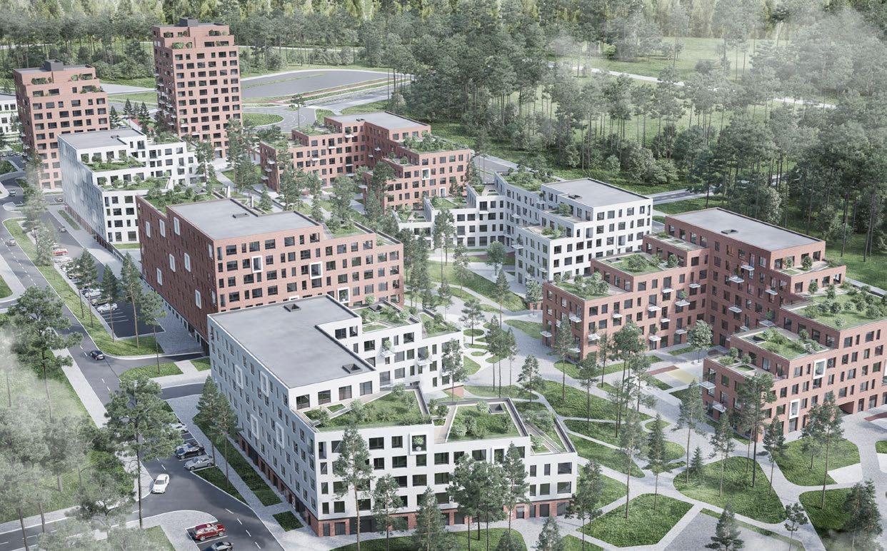
The facility demonstrates an attempt at professional interdisciplinary work to integrate a group of residential buildings into the natural landscape while preserving the existing relief.
The existing practice in Belarus for working with relief is its total destruction along with green territories and the existing biological landscape. The goal set by the specialists in this project is to integrate the object into the existing natural and landscape context as much as possible without destroying the existing relief. Work at the concept design level was carried out in close cooperation between departments of architects, urban designers, specialists in engineering networks and constructors.
The object is being developed according to the preliminary concept of the Polish architectural buro Kuryłowicz & Associates. The architectural department and master planning department completely reworked the concept of the Polish buro to integrate the project into the Belarusian context and the Belarusian regulatory framework, which is very different from the European one.


Functional zoning scheme


Walking path scheme

insolation scheme
All areas


An important part of the project was not to lose the commercial appeal of the development, relative to other development options. Special attention was also paid to the integration of new interdisciplinary approaches between architects and urban planners. Some of the functions that are traditionally kept only in the master plan section have been incorporated into the buildings, such as the garbage collection area. This project was planned to become a precedent for changing the regulatory framework of Belarus.
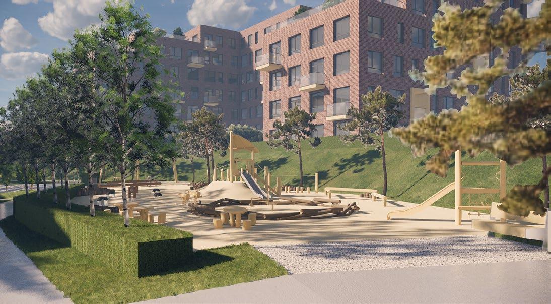
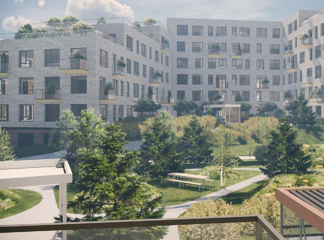
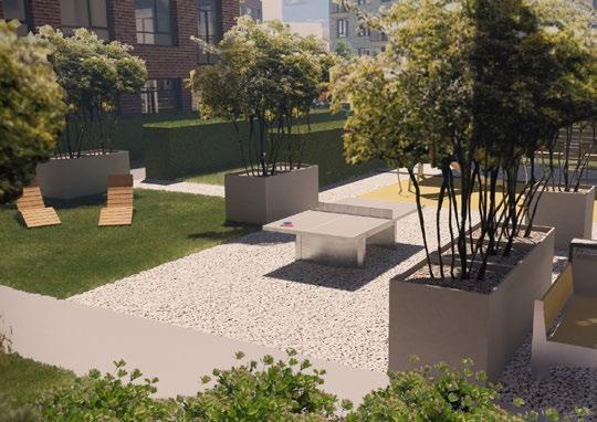
No less attention was paid to urban design. This building is cut off by a highway from the rest of the district, which prevents its integration into the existing urban life. Therefore, special attention was paid to the internal boulevard, as the main place of interaction between people.





Project Timeline [September 2017 – January 2018]
Location [Belarus, Miensk]
Affiliation [Miensk Urban Platform]
Full project album: [issuu]
Presentation: [YouTube]
Project stage: [Concept]
Role: [Co-author of the concept Urban planner and Urban design specialist]
The project was developed at the beginning of a wave of civic activism in the field of citizen participation in decision-making in urban planning projects. The projects of regulation of the urban territory proposed by the city offer the maximum level of abstraction on the one hand and on the other hand dictate the design of high-rise buildings that destroy the context. The goal of the project is to show an alternative use of the urban area using new approaches while maintaining the economic indicators prescribed by city planners.
Several scales have been worked out in the project: the general development concept, the concept ofeach individual block, the urban design of three blocks. At the district level, the main task was to identify the main points of the district activator and add new ones to them, as well as to integrate green areas into the district. Taking into account the new traffic load on the district, the transport and pedestrian scheme of the district was renewed. A new spatial organization was proposed for each quarter, taking into account the increase in the housing stock of the district. Existing building typologies were identified and new building types were added, offering a different way of living in the area. Urban design was developed for blocks that had a new buildings typologies. Those parts of the project was an explanation of the new possibilities that offer the new types of housing and the urban space around them.

Scheme of attraction points
Public transport and stops
Business center Transport hub
School
District center
Green connections
SBus route
Bus stop
City and commuter rails
Metro Transport hub
The district is located adjacent to the city core/ downtown;
The district has good transport accessibility (city and commuter rails, metro station, trolleybus and bus routes);
The district is surrounded by a large green system that includes “40 age of October” park, “Antonayski” park, “Gorki park”, Water-Green Diameter of Minsk;
The district has a dense streets grid; The district has perimeter blocks; The buildings are co-dimensioned to human sale; The district has an active center represented by a local market and “Raketa” cinema;
The district has a diverse set of residential buildings.
0The district could be developed on a human scale without expensive interventions;
The district could be integrated into the city fabric and linked to the city center and green areas; The block system could be fully realized in the district instead of “microrayon” system;
The attraction point of city importance could be created instead of underused industrial areas;
New typologies of residential buildings could be added in the district;
The district could realize its potential to become a transport hub;
The district could be densified without compromising the quality of life.
WStreet network
Projected street grid
Shared space
Elevated crosswalks
Fire transit
The district has a low density of dwellings below the level found in similar districts within the city; The district is mono-functional;
The district borders with the closed territory of the plant, which is partly empty;
The district lacks the defined structure of public space and pedestrian zones;
The district is separated from the city core by commuter rail; the new development plan proposes to increase this gap with a new highway;
The district does not have any internal public transport inside its area;
The main pedestrian flows don’t follow the street grid (people go through courtyards).
TThe new development plan for the district proposes too radical solution: simultaneous demolition of the majority of housing stock and construction of a new “microrayon”, which would impede its natural development;
Developers don’t have to follow any regulations on the cleared territories, and they are not interested in balanced district development.
In demolished territories, the developers don’t have any regulation and them don’t interested by them self to develop the district; The new development plan fails to realize the potential of the district as a transport hub;
The new development plan separates the district from the “Antonayski” park by a new high-way.
Current building typologies
Single-family home
Single-bay house
Corridor-type house
Multi-bay house below 5 stories
Multi-bay house above 5 stories
Non residential building
Proposed building typologies
Row house
Urban villa
Multi-family row house
Greenery schemes
Spatial organization schemes




District Masterplan, segment


Project Timeline [July – October 2018]
Location [Belarus, Soligorsk]
Affiliation [Miensk Urban Platform]
Presentation: [YouTube]
Project stage: [Concept]
Role: [Co-author of the concept, urban design specialist]
District No.22 in Soligorsk: livable urban environment in high density conditions

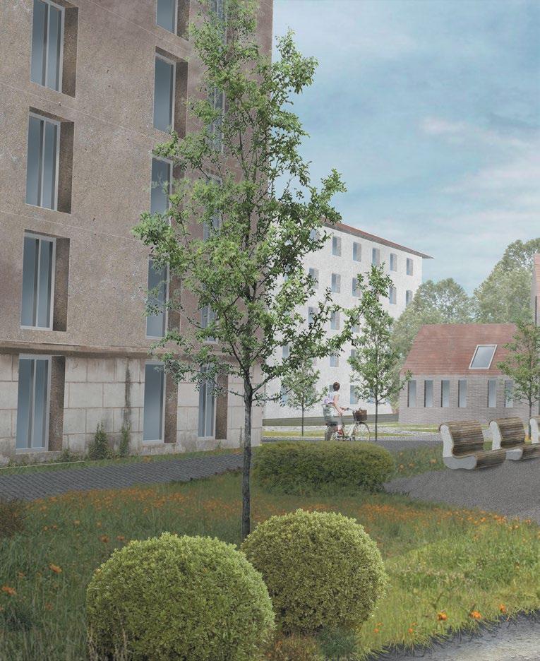
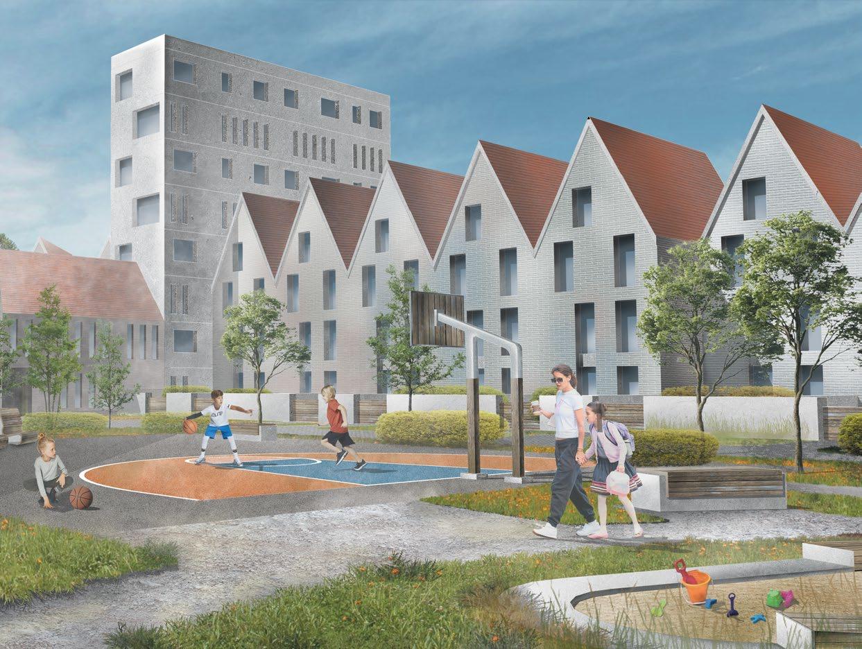
The project demonstrates the urban development possibilities of using prefabricated panel buildings to form a clear spatial organization in contrast to the micro-district development.
In Belarus, the main spatial development practice is micro-district development, which became the main heritage in urban development from the Soviet Union. There is also a widespread myth that with the existing normative documentation and with the mass use of panel buildings produced in factories, it is impossible to make a different spatial organization. The goal of the project is to create an alternative vision project that will demonstrate to the administration of the city of Saligorsk and architects an alternative spatial organization of the urban space using typical panels produced in Saligorsk and using the existing regulatory documentation of Belarus.
The project uses the main popular urban forms: blocks with dense buildings, blocks with medium-density buildings, line-pattern housing development, urban villas. Also, 3 types of parking were used: underground parking, stylobate and free-standing building with parking.

Planning concept scheme
Commercial axis Center of the district Green axis

DIVERSITY IN POINTS OF ATTRACTION: tools of different scales for activation of pedestrian traffic.

Spatial scheme with major attraction points.

Small attraction points supporting major attraction points.

Attraction points along the facades that generate pedestrian traffic.
MULTILEVEL SPACE: rising or lowering space level with different functions to control users’ flows.

Patio formed by semi-underground parking.
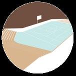

Courtyard on a stylobate formed by ground parking.
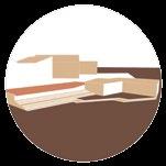
C OMFORTABLE MOVEMENT: tools for coexistence of pedestrians and vehicles.

Pavement-level crossing.

Road-level crossing.

DIVERSITY IN STREET CROSS-SECTIONS: transformation of spatial organization according to different parking solutions.


Perpendicular parking.



Project Timeline [March 2018 – June 2018]
Location [Belarus, Miensk]
Affiliation [Belarusian National Technical University]
Project stage: [Graduation Project]
Role: [Urban design specialist]
Step-by-step transformation of a urban block

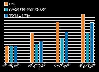
At the time of the development of the diploma project, the phenomenon of increasing the density of micro-district development was widespread in Minsk, due to the construction of 19 one-story single-entry houses on large courtyard spaces. This was considered the only mechanism by which more “efficient” use of urban space can be achieved. The diploma project is a speculation on the topic of how it is possible to achieve the same indicators as the completion of one high-rise building in the area.
The project will involve a step-by-step change of the urban space in 4 stages. Each stage replaces the previous houses with a new urban form. In addition to general indicators, attention was paid to the spatial organization of the district at each stage of transformation. Instead of a large common space, the project proposes a rough division into private, semi-private and public spaces.


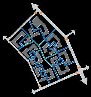
Transport movement

Parking space
Ground parking Surface parking
Semi-underground parking
0 phase 1 phase 2 phase
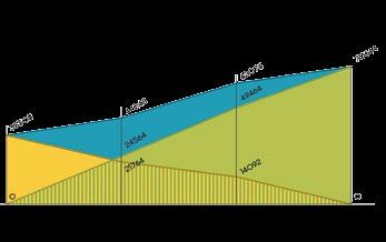
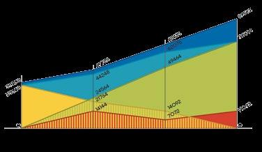
Floor-spaces of all buildings
Floor-spaces of all residential buildings
Floor-spaces of new residential buildings
Floor-spaces of existing residential buildings
Floor-spaces of demolished buildings
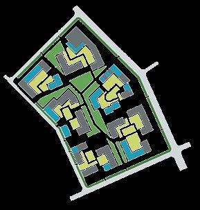
Green territories
Courtyard greenery Buffer greenery

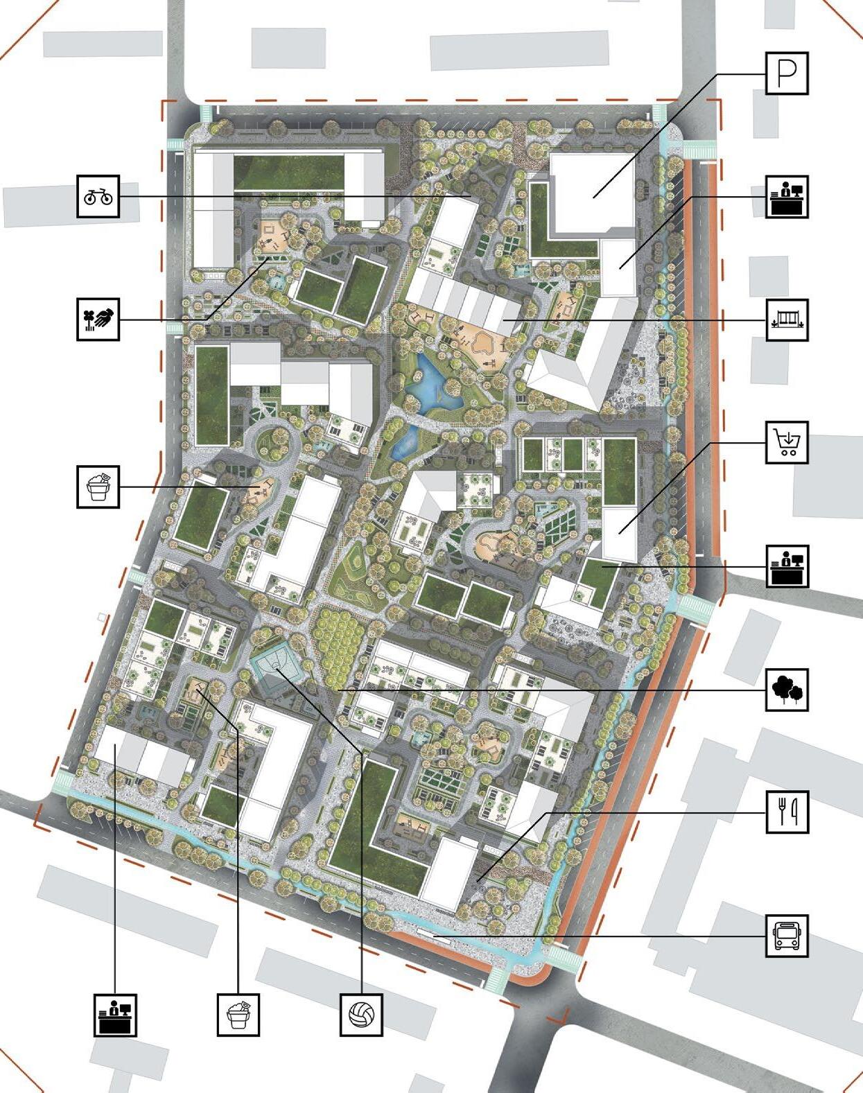
The concept of suburbs quarter development in a new micro-district
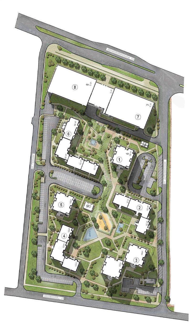
The project area is located on the edge of the city and borders a high-density neighborhood and a forest area. According to the design conditions, the building must be no less dense than the neighboring micro-distryct. Under the given conditions, the architectural group tried to combine as several types of housing, which correspond to urban forms (quarters and urban villas) and elements of the suburbs in the form of townhouses. An attempt was made to mix different typologies within one block, which is not typical for new construction in Belarus. Special attention to the project is given to a strict spatial hierarchy within the quarter.


Project Timeline: [March 2020 – May 2020]
Location: [Belarus, Miensk]
Affiliation: [Miensk urban platform]
Project stage: [Concept]
Role: [Urban design and project manager]


Analysis and design of user paths through the micro-district
The project included the analysis of user paths and the development of a communication strategy (visual and textual), as well as the design of stands and small architectural forms that will accompany residents and visitors to the district. The main scenarios for use by the district were analyzed and, on their basis, a line of 6 types of stands was developed, each of which meets its own functional purpose. Canopies with different functional contents were developed on users’ key points intersections in the district.
Project Timeline [May 2020 – Dec. 2020]
Affiliation [Miensk urban platform]
User path analysis diagram
Affiliation [Miensk urban platform]
Role: [Urban design and project manager]


- Residential complex logo


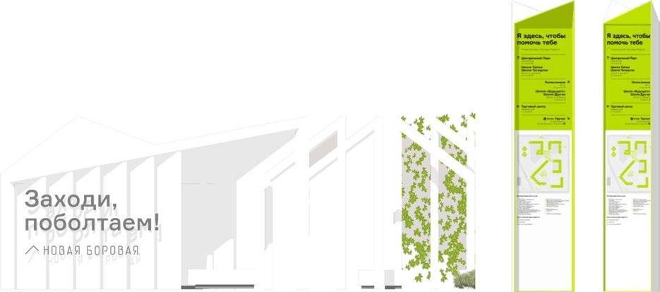

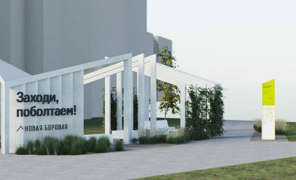


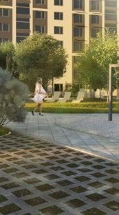
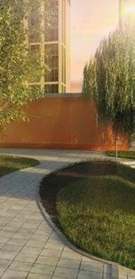
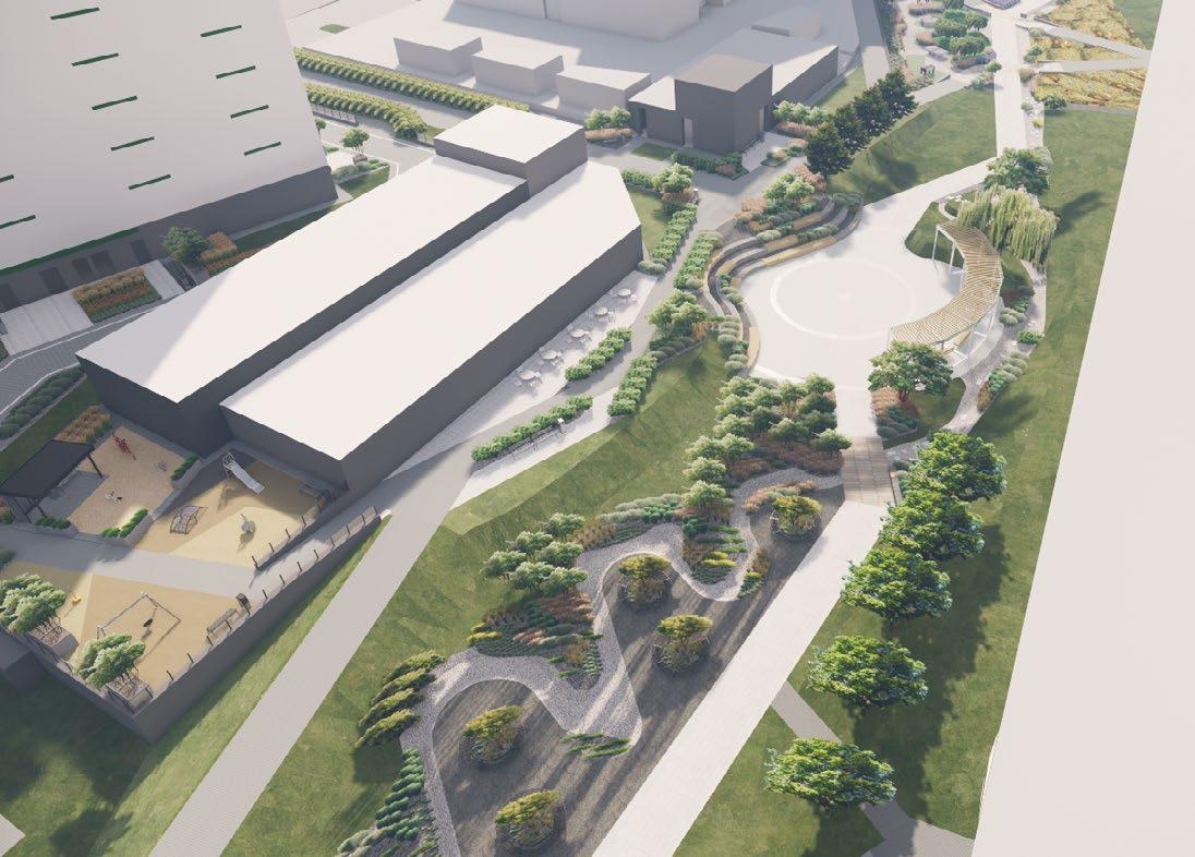
The objective of the project was to create an urban design for the development area. The peculiarity of the designed territory is that the difference in relief between the houses is 8 meters high. According to the design conditions, it was necessary to avoid retaining walls in landscape design and use only slopes. Also, around the development site today there are industrial territories, so the functional content of the territory should provide maximum functions within the territory.
Project Timeline [May 2019 – September 2019]
Location [Belarus, Miensk]
Affiliation [ALC Proektinzhstroy]
Developer: [Skistroyinvest]
Project stage: [Concept]
Role: [Urban design]




Project Timeline [September 2021 – January 2022]
Location [Belarus, Miensk]
Affiliation [Miensk urban platform]
Developer: [JLLC INFOREALT]
Project stage: [In the process of implementation]
Role:
[Co-author of the concept, Urban design and landscape specialist]

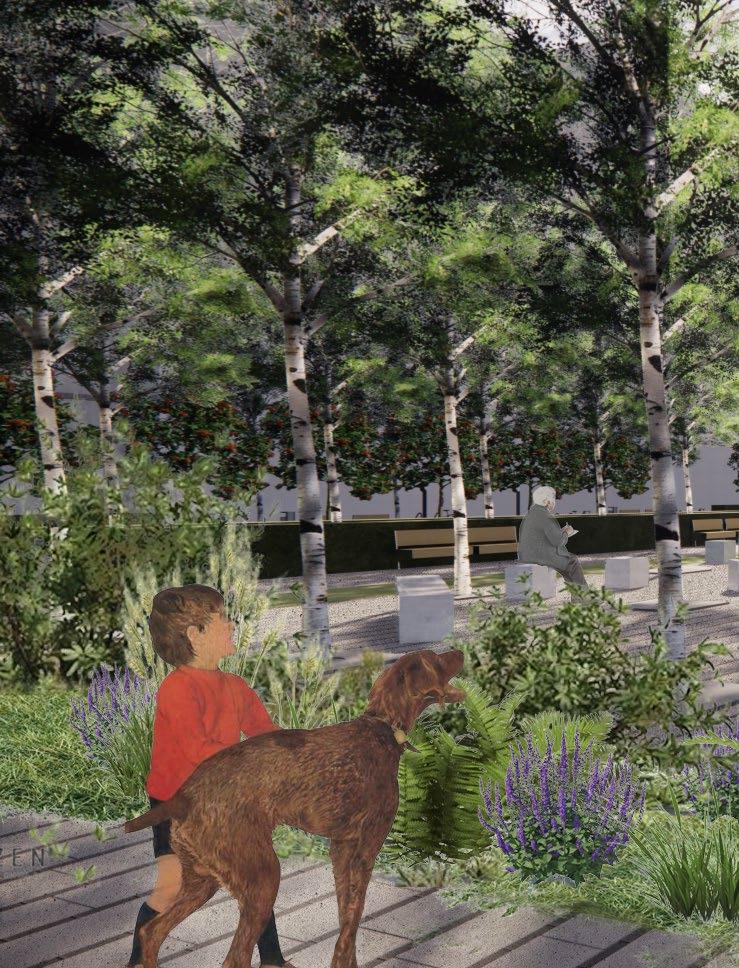
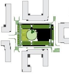
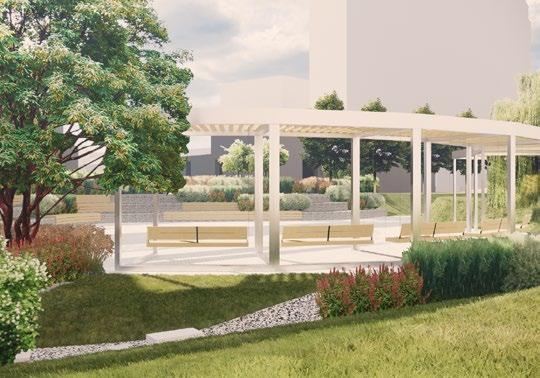
The development area is located in the central part of the city of Miensk. The building is located inside another residential building and does not have access to the street from any of the buildings. The development area used to be a porcelain factory, and under the factori’s territory was and still exists a collector with one of the rivers hidden there located on the territory of the city of Miensk.

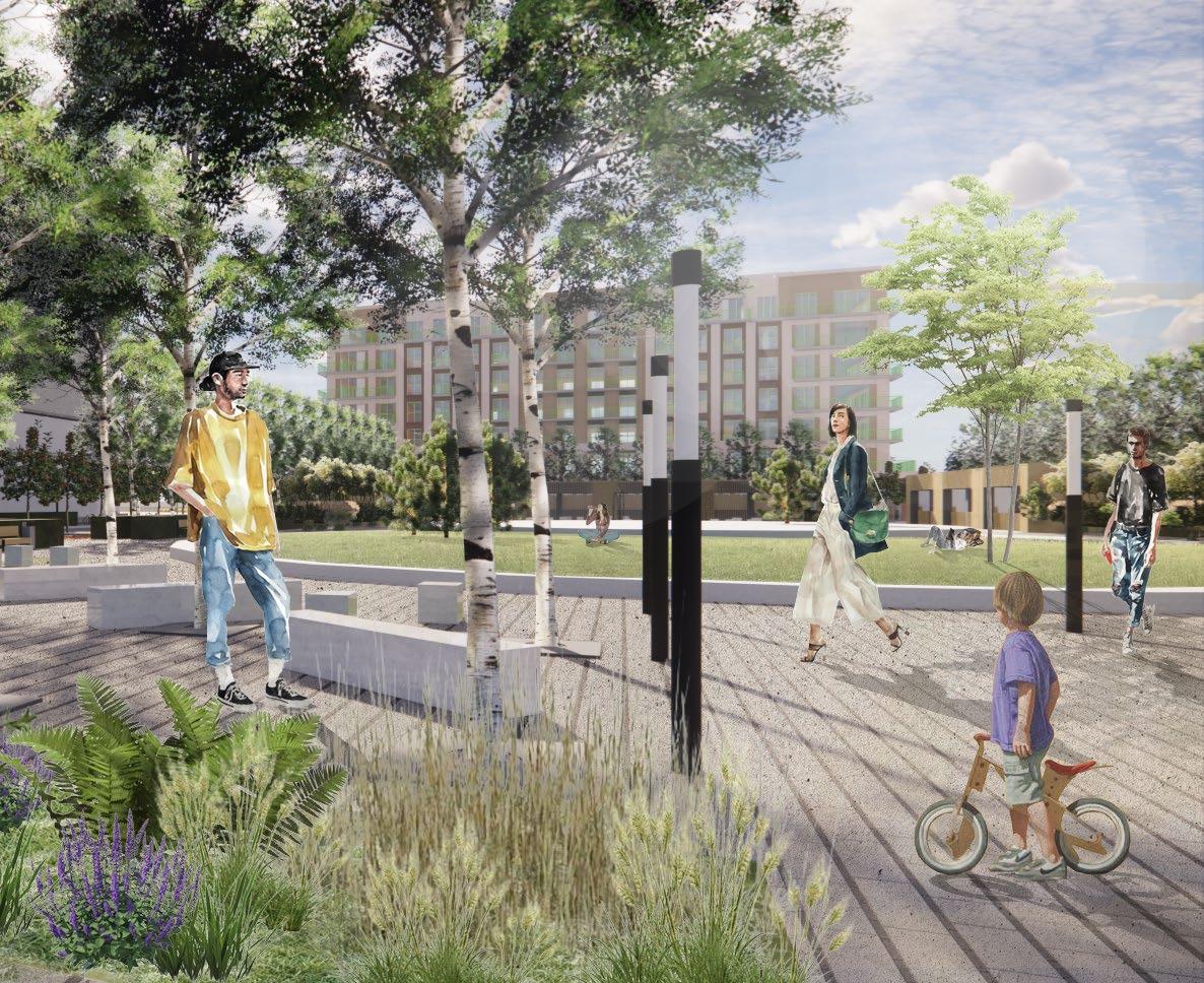
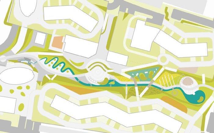
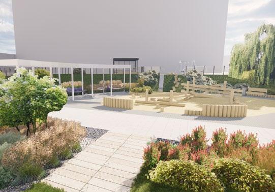
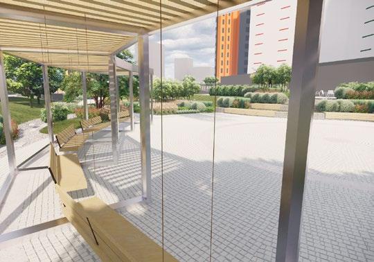
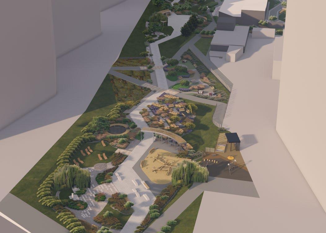
The design team was brought in during the construction of the first of four residential buildings. The task was to develop a design for the boulevard zone between the buildings, which will be the only public space for all nearby houses. This territory has 2 important features that needed to be taken into account when developing the design: 1. under the entire territory of the boulevard there is a collector with a hidden river, which cannot be loaded with additional weight to the existing one, and the presence of the river mouth leads to minor flooding of the territory; 2. The territory accumulates a large historical layer, ranging from legends to the famous plant located there.
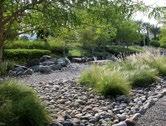
For implementation, 3 main stories were identified, which were included in the design of the territory: 1. the Perespa River, enclosed in a reservoir under the design site; 2. the legend of the hero Menesk - the hero of one of the legends about the founding of the city of Miensk; 3. Porcelain factory, the memory of which lives on in the community of townspeople.
on a stylobate formed by


on a stylobate formed by


landezine.com


on a stylobate formed by




by


Walk around Communicate
Read
To swing on a swing
Listen to music
Look in the sky Lie
Play boardgames
0 25 50
Porcelain factory
Ride a bike
Play table tennis
Ride a scooter Run Balance
Play volleyball
Play the ball
Play basketball
Play badminton
To play football
Play tennis
Climbing on a rope Skateboarding 0 25 50







Thank you for your time.